
BLOG 14 - Dawson City
DAWSON CITY – Gold Rush Town Auf dem Klondike Highway mit seinen vielen Baustellen, bei denen man geduldig auf den „Pilote Car“ warten und diesem dann folgen muss, geht’s...
Veröffentlicht: 15.08.2022
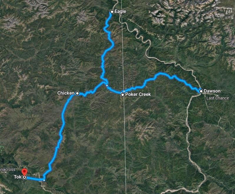
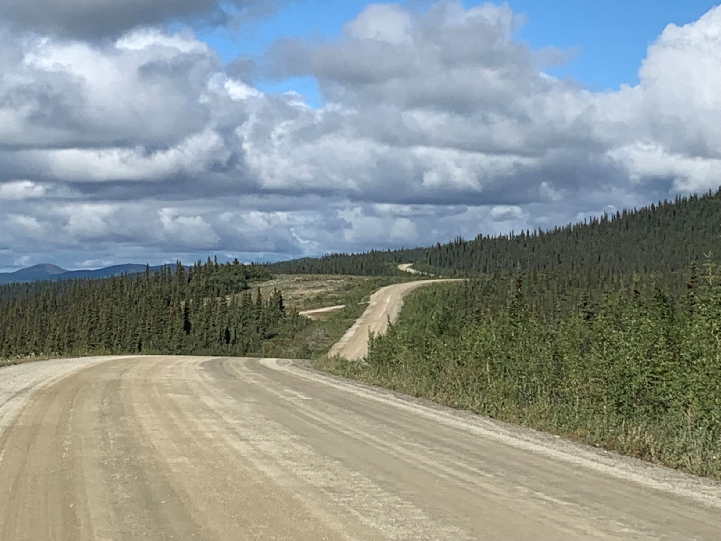
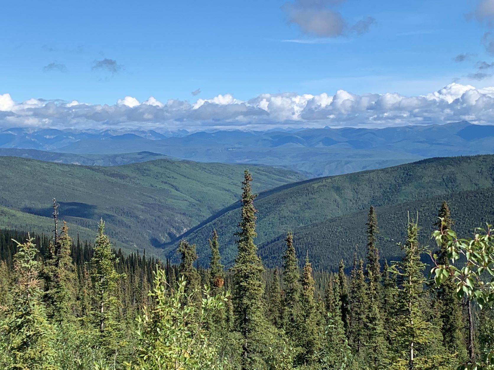
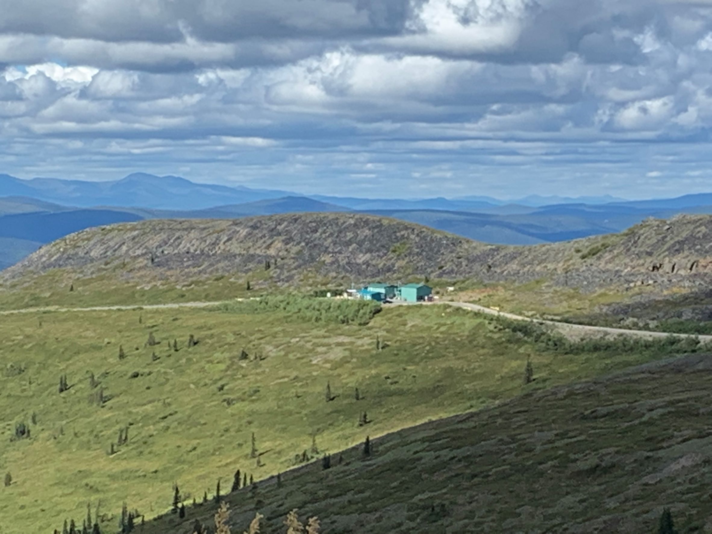
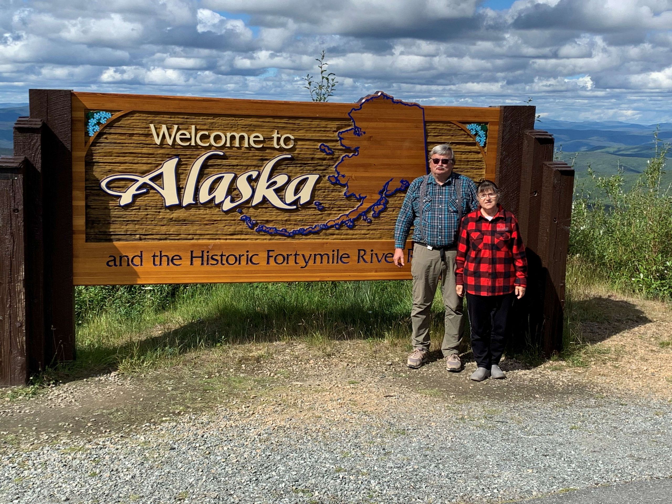
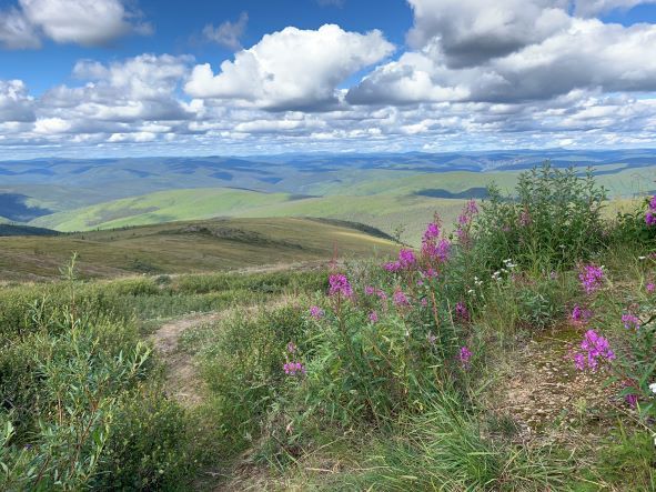
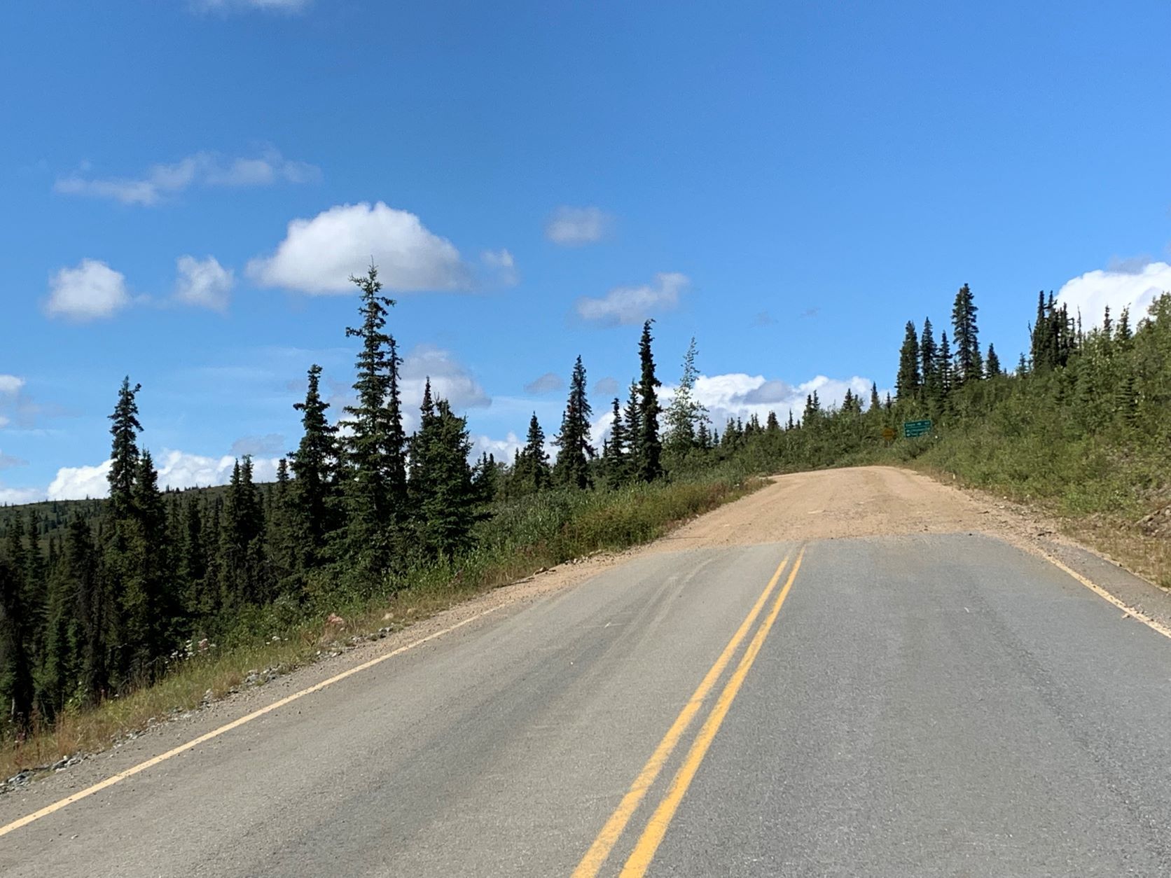
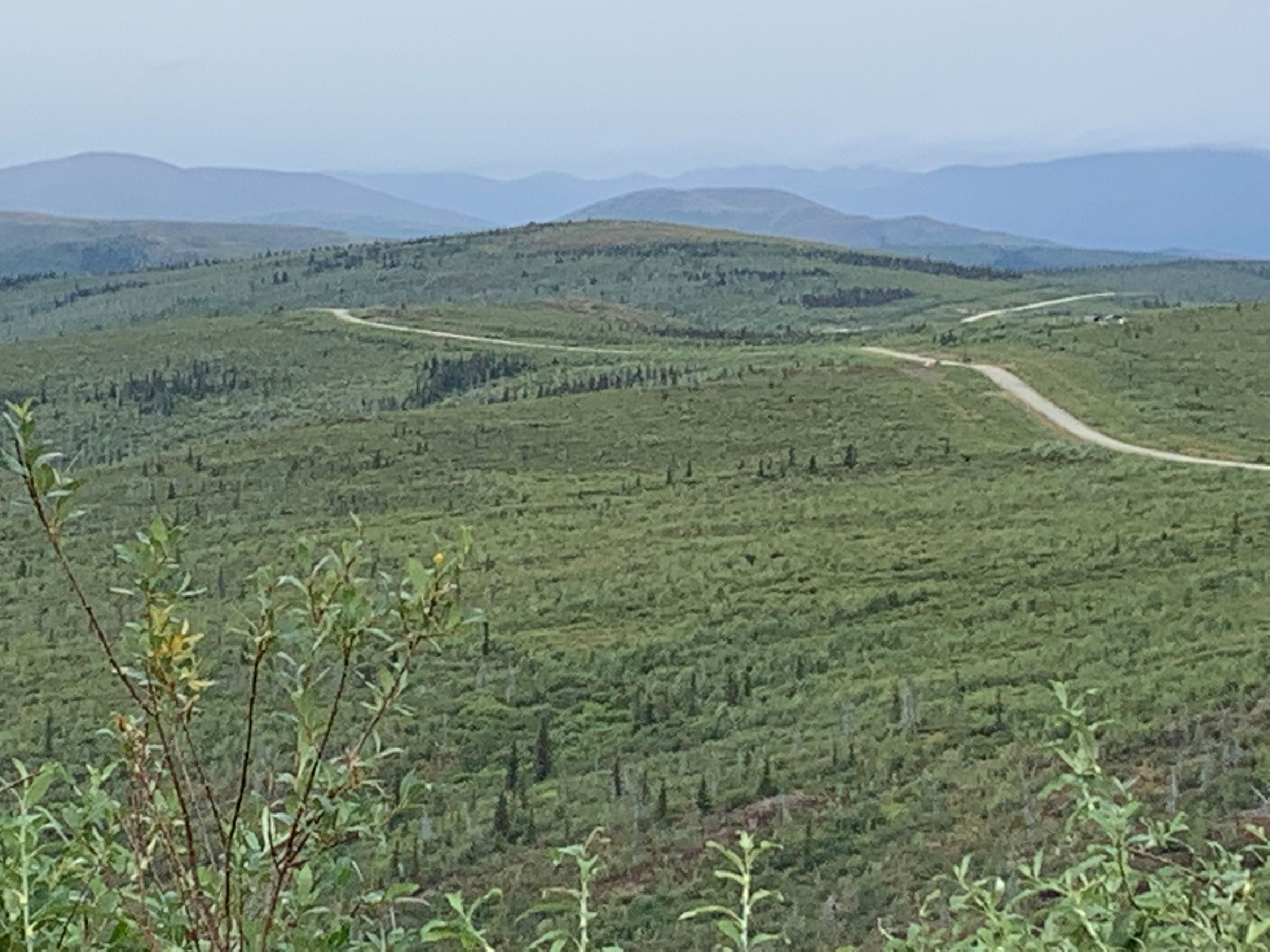
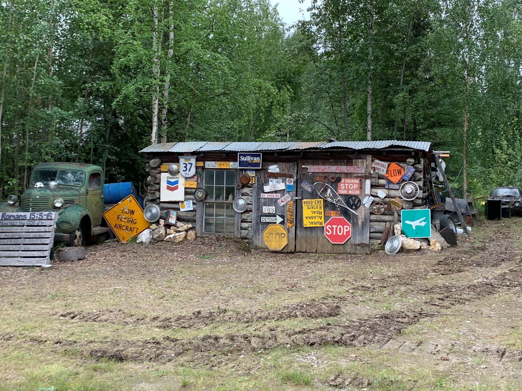
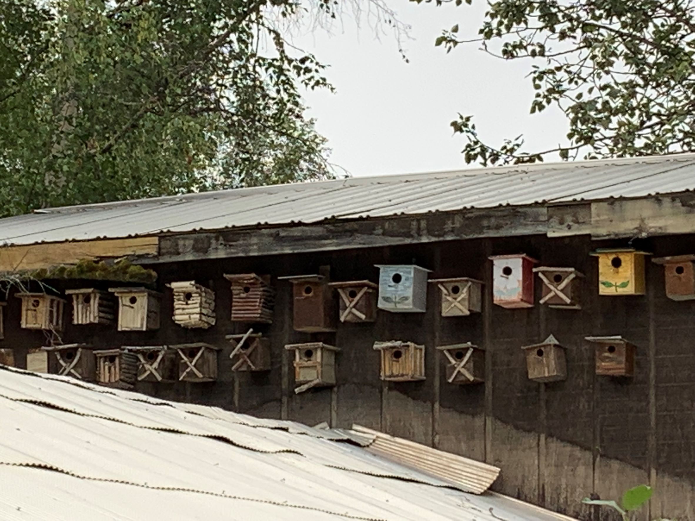
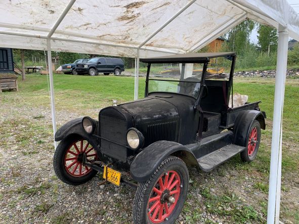
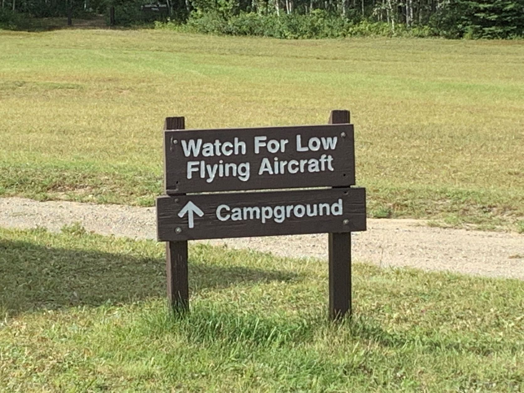
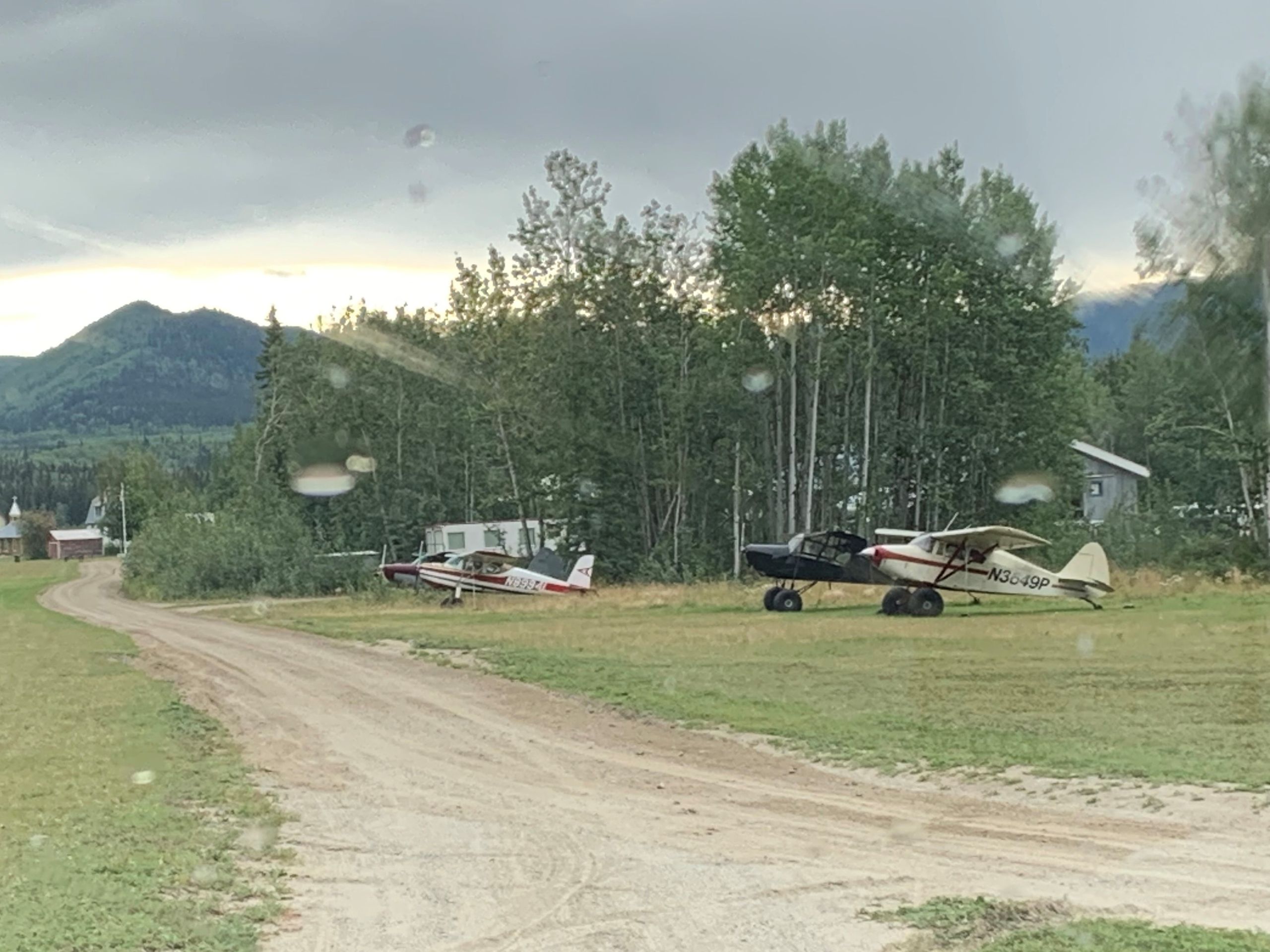
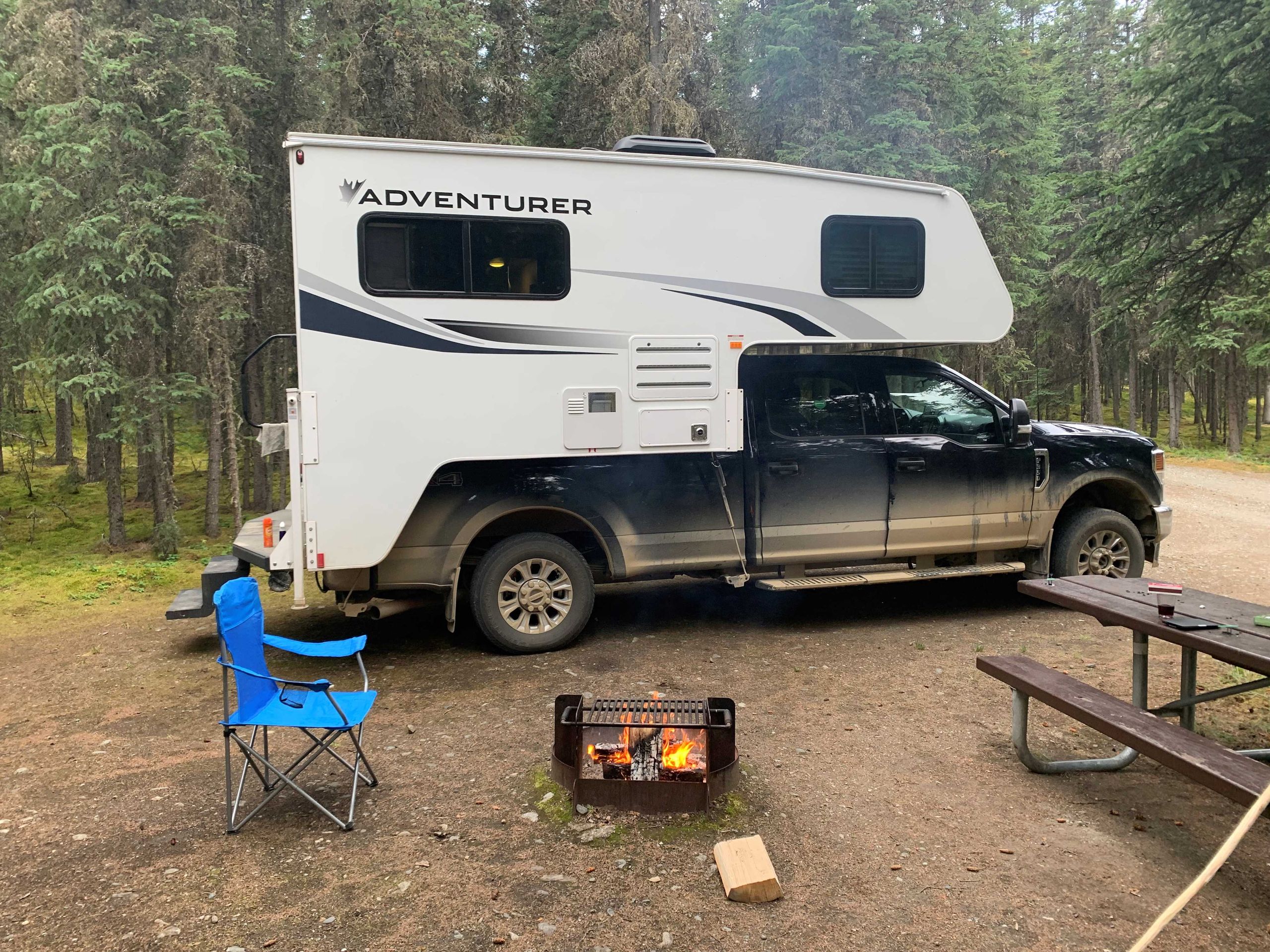
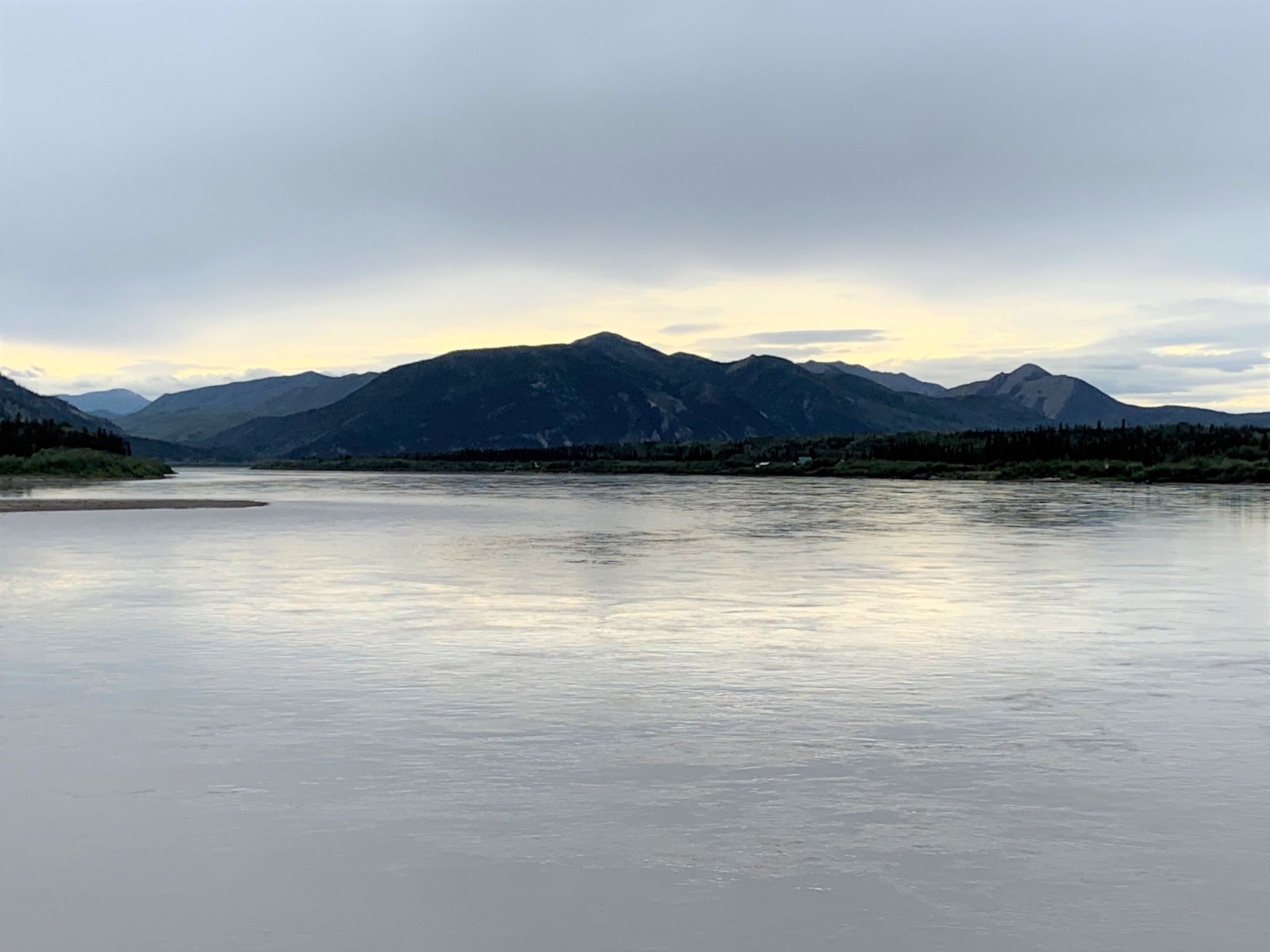
Es geht nach der Fähre über den Yukon zunächst etwa 130 km dem „Top of the World“ Highway entlang, dieser ist zwar nicht asphaltiert, aber sehr gut befahrbar. Man hat schöne Ausblicke in „das weite Land“, das weitestgehend unbesiedelt ist. Bereits nach etwas mehr als 100 km kommen wir zur USA Grenzstation „Poker Creek“ – der nördlichste Straßen Grenzübergang in die USA. Die Abfertigung geht überraschend schnell – Computercheck unserer Pässe, Frage, ob wir Handelsgüter, Waffen oder Drogen einführen und schon sind wir mit einem „Enjoy your trip, Folks“ nach Alaska entlassen. Leider gibt es den früheren, besonderen Pass -Stempel mit dem Caribou nicht mehr.
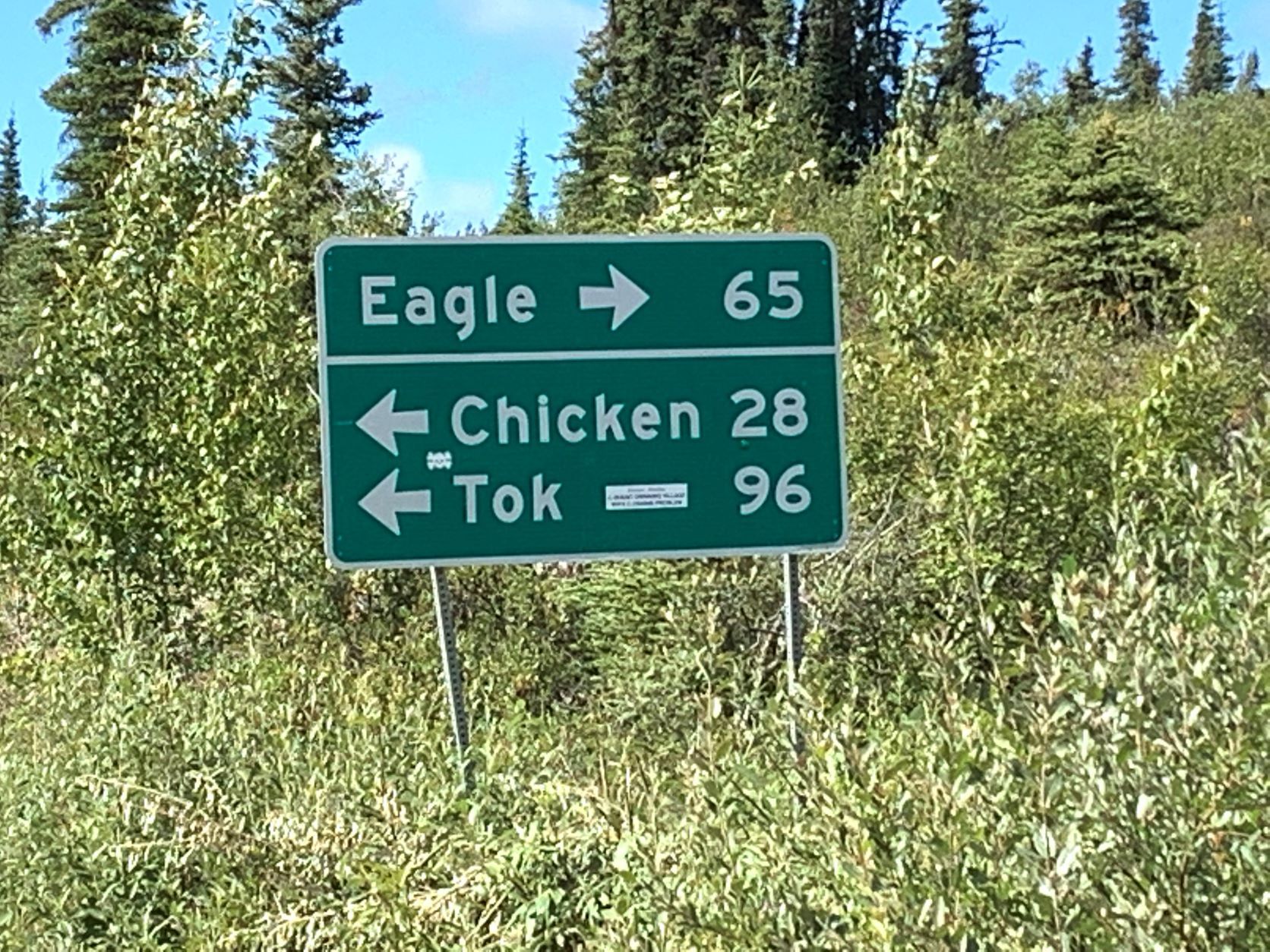
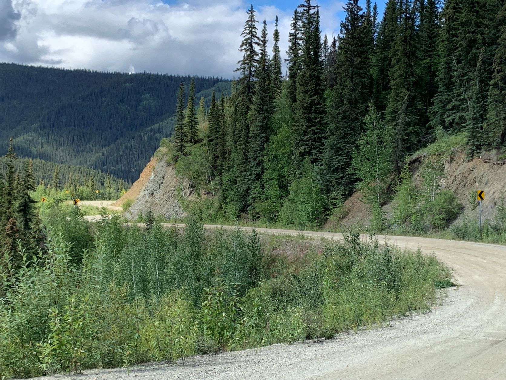
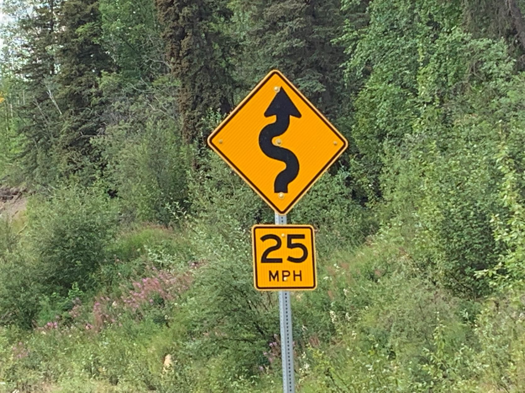
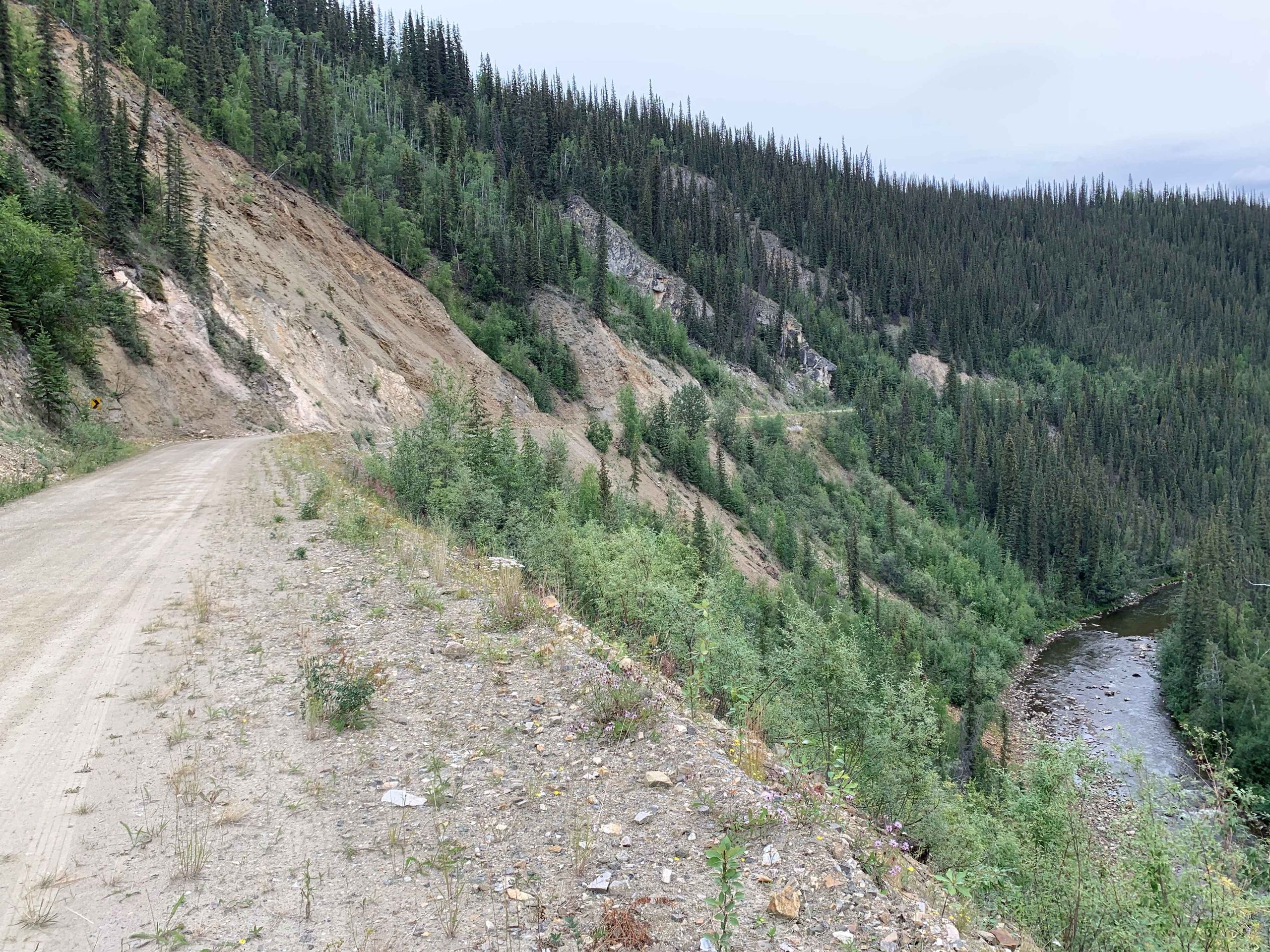
Bald danach endet der Top oft he World HWY und wir biegen Richtung Eagle auf den Taylor Highway ein. Eagle wird der nördlichste Punkt unserer Reise sein. Auch hier warten circa 100 km Schotterpiste auf uns, die allerdings recht unterschiedlich und insgesamt deutlich schlechter als die Top HWY ist.
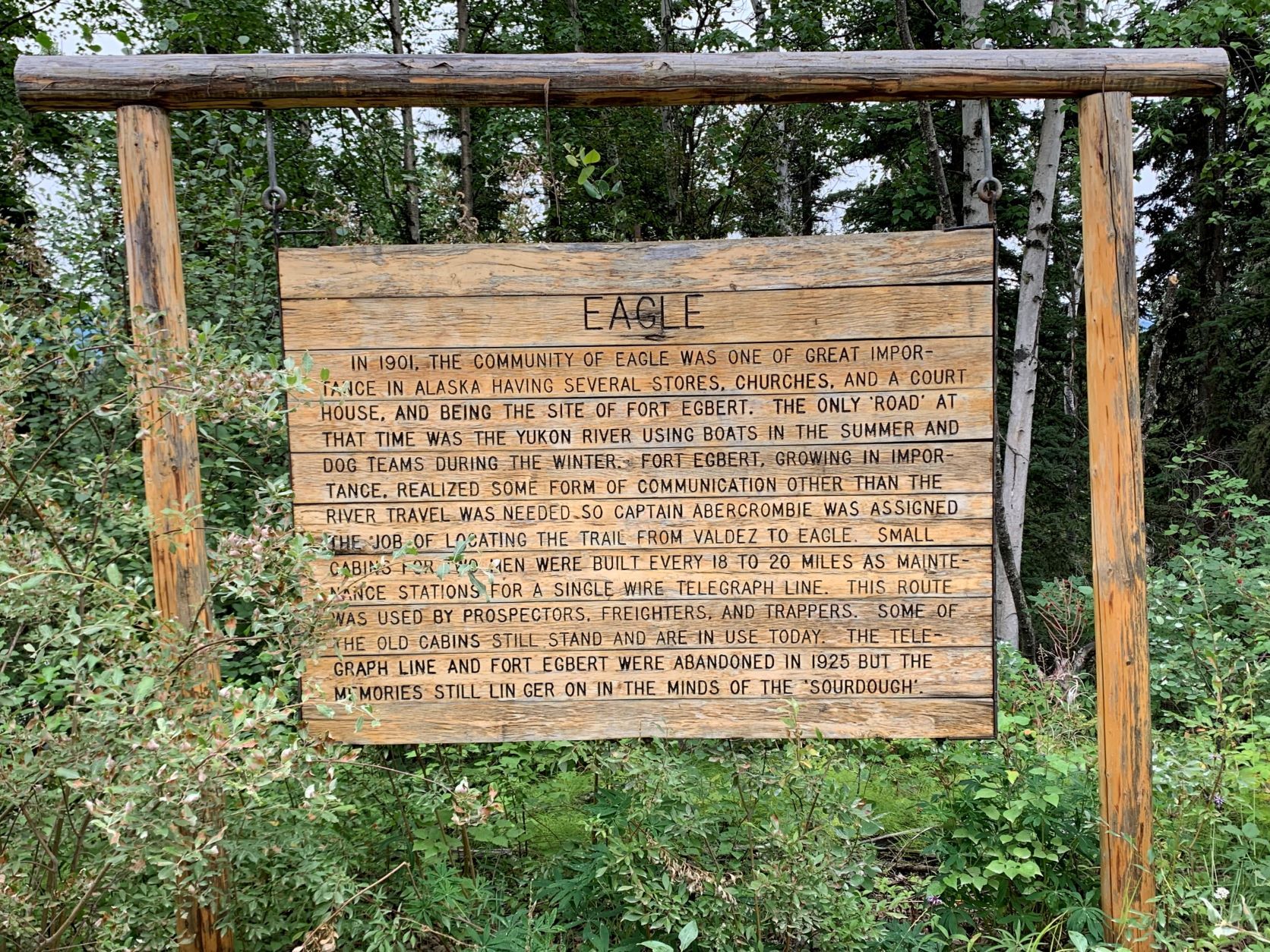
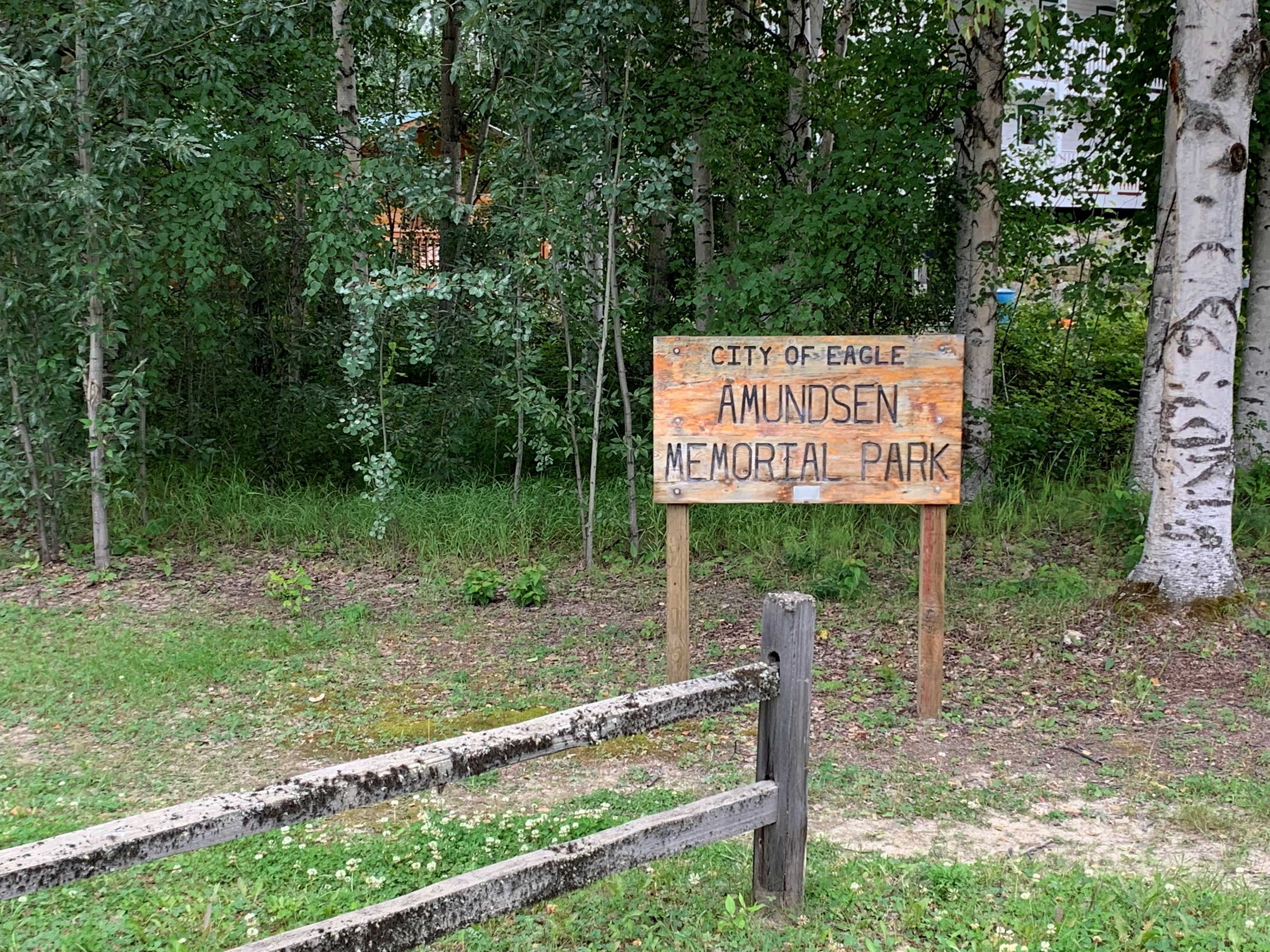
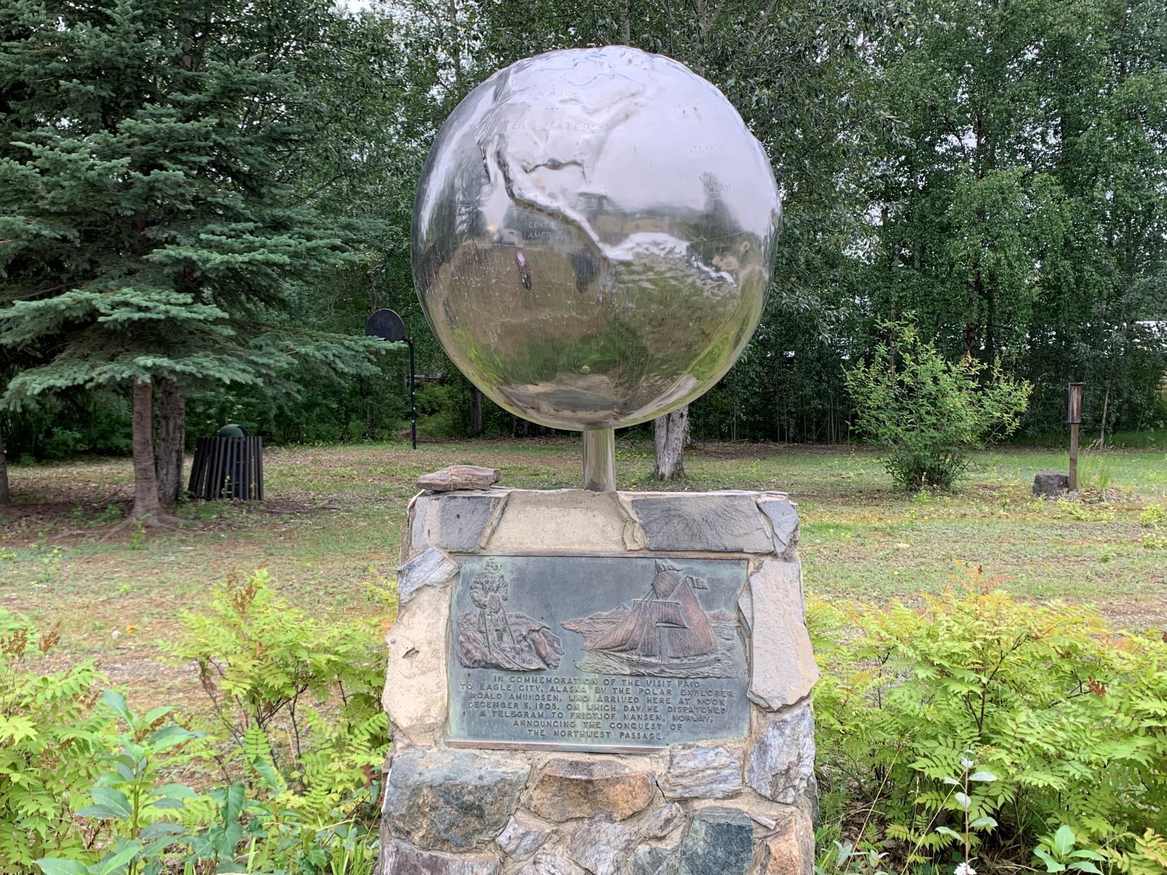
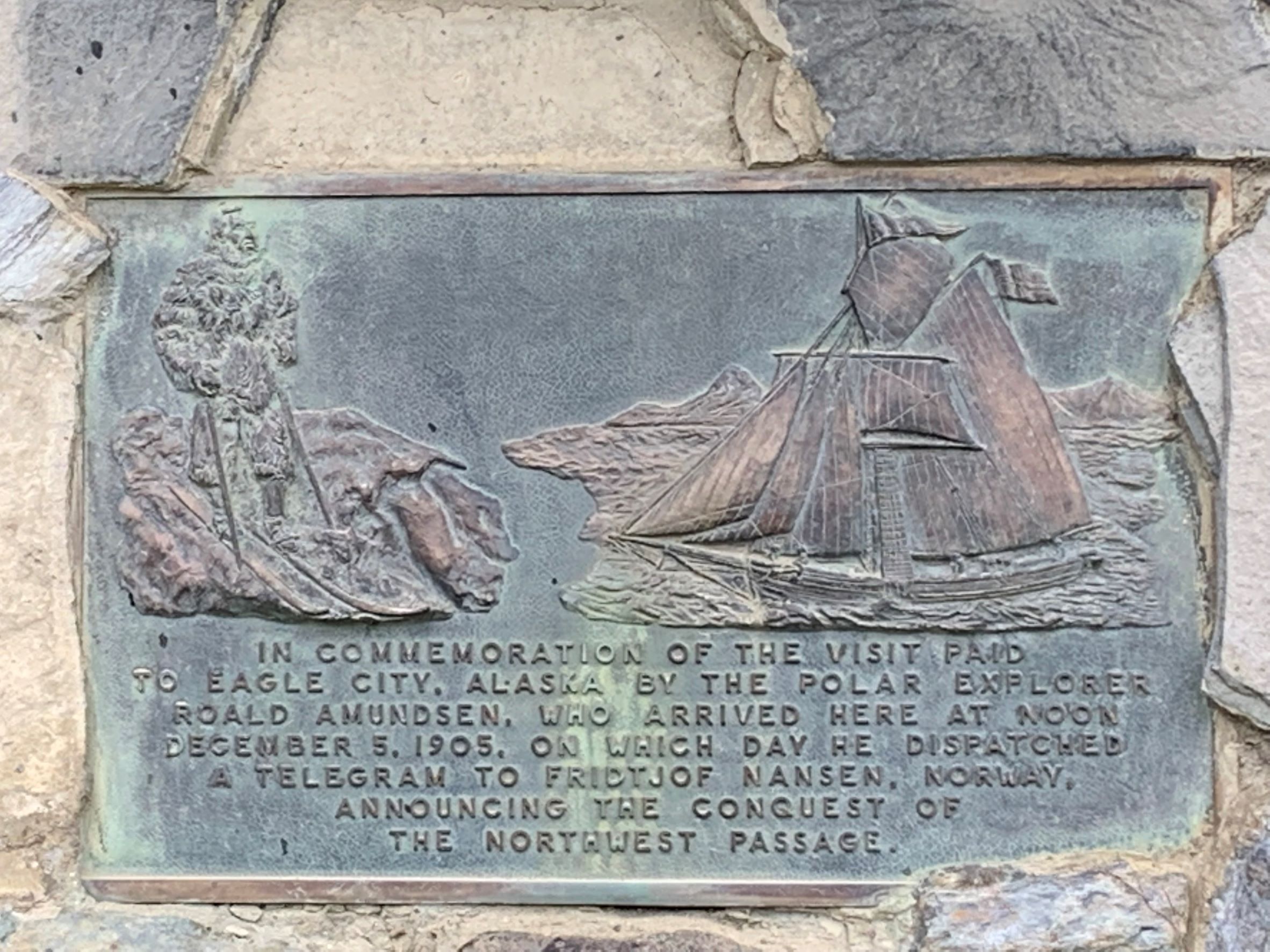
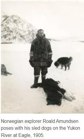
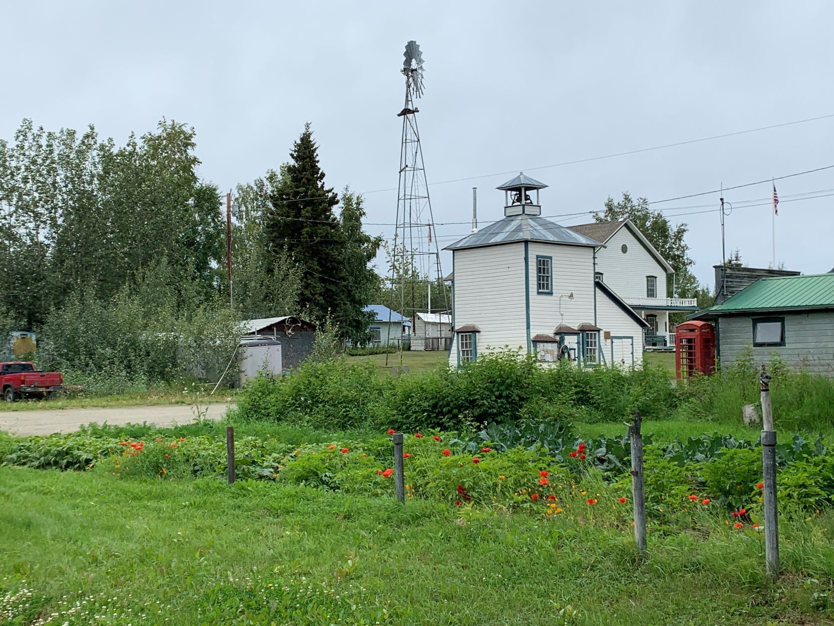
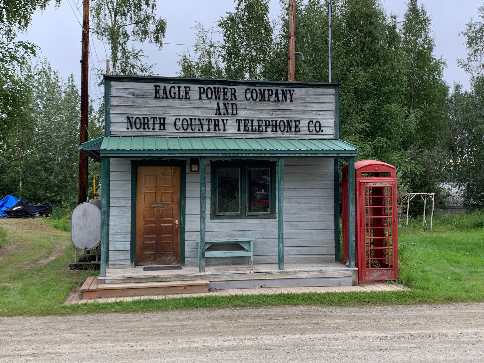
In Eagle angekommen, wundern wir uns etwas über die „Amundsen Street“ als Hauptstraße, die auch zum „Amundsen Memorial Park“ – die Verbindung zwischen dem norwegischen Polarforscher und dem „Nest“ Eagle ist uns nicht klar. Die Inschrift im Park und das Internet klären uns auf – Amundsen war wirklich, sogar für mehr als 2 Monate, in Eagle. Im Zuge der ersten erfolgreichen Befahrung der Nord West Passage 1903 bis 1906 war Amundsen, nachdem sein kleines Schiff „Gjoa“ nach zwei Überwinterungen auf der King-William Insel im Sommer 1905 die arktischen Inseln bis Herschel Island (im Arctic Ocean nahe der Grenze Kanada / USA) durchfahren hatte, zu Fuß und mit Hundeschlitten zunächst zum Fort Yukon und später bis Eagle gekommen – eine Strecke von mehr als 800 km durch vollkommene Wildnis. Er wollte unbedingt der Welt und seinem Förderer Fritjof Nansen die erste Befahrung mitteilen – und Eagle war damals ein wichtiger Stützpunkt und verfügte über den nördlichsten Telegrammanschluss. Im Frühjahr 1906 reiste er zurück ans Eismeer und brachte Schiff und Mannschaft sicher nach Nome im Westen Alaskas. Heute hat Eagle nur mehr etwa 100 ständige Bewohner.
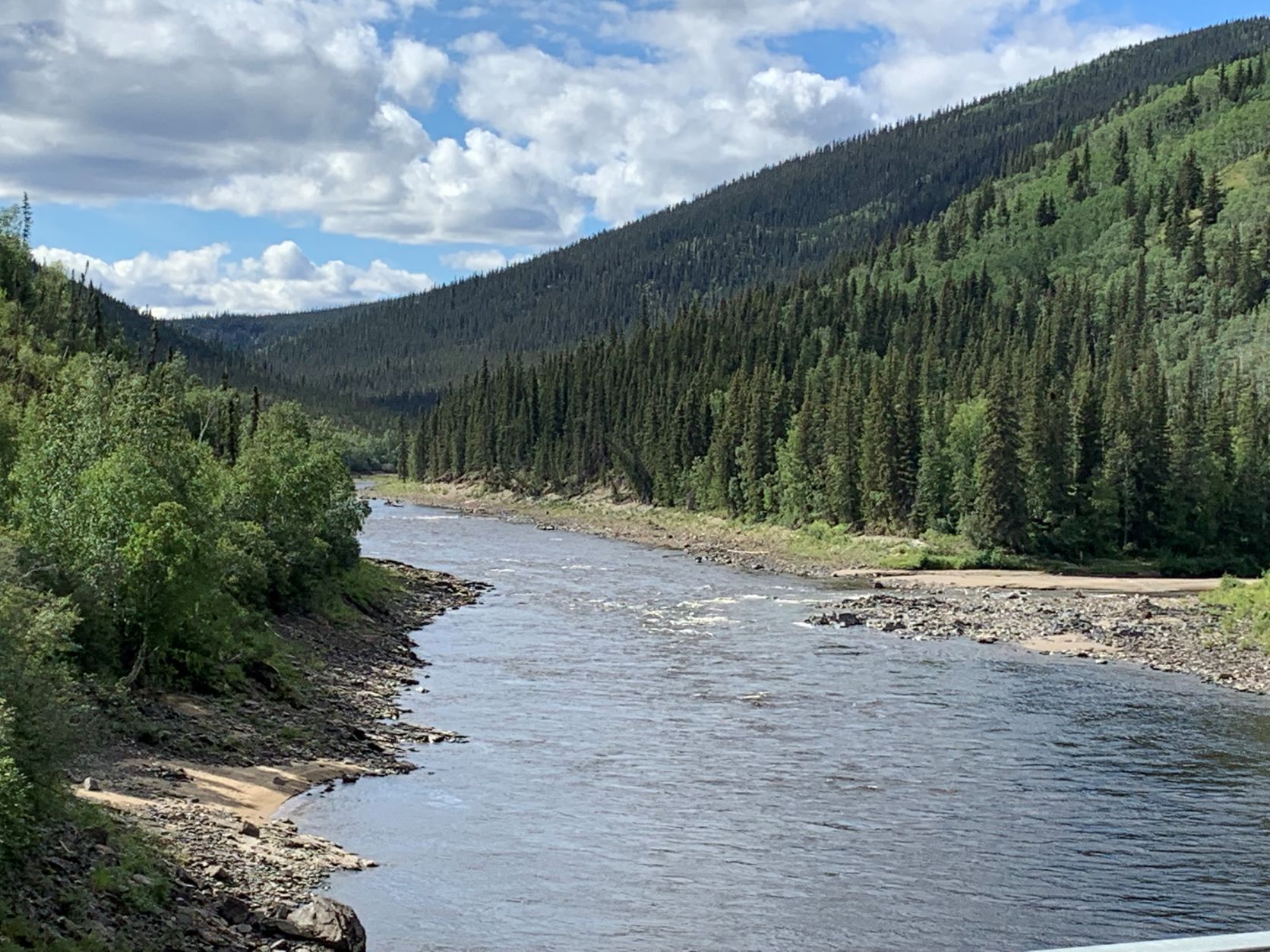
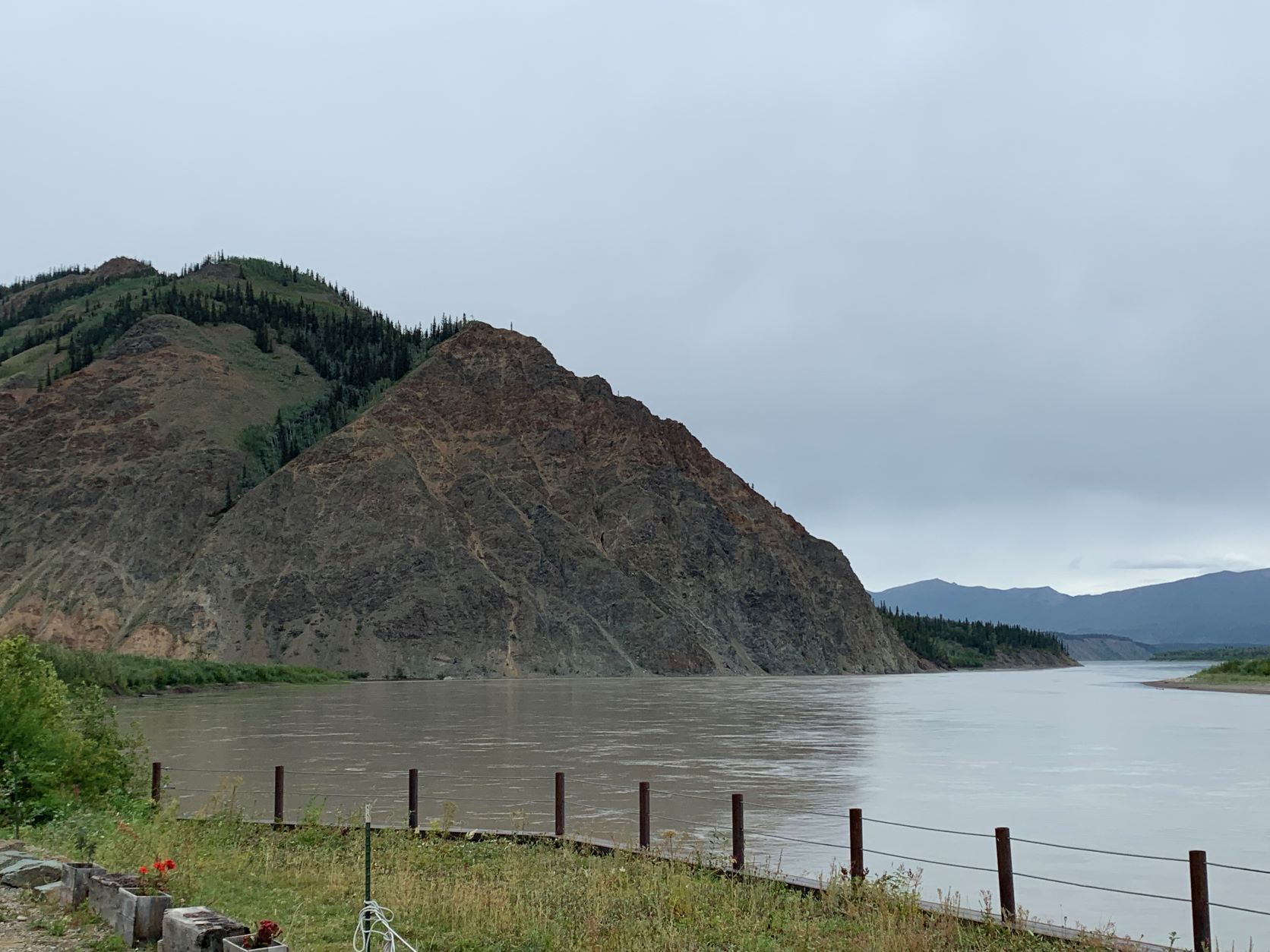
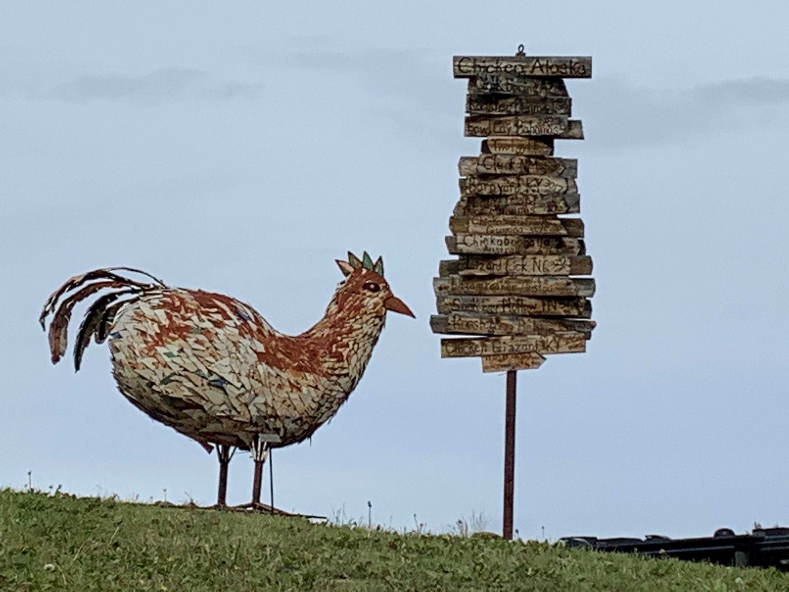
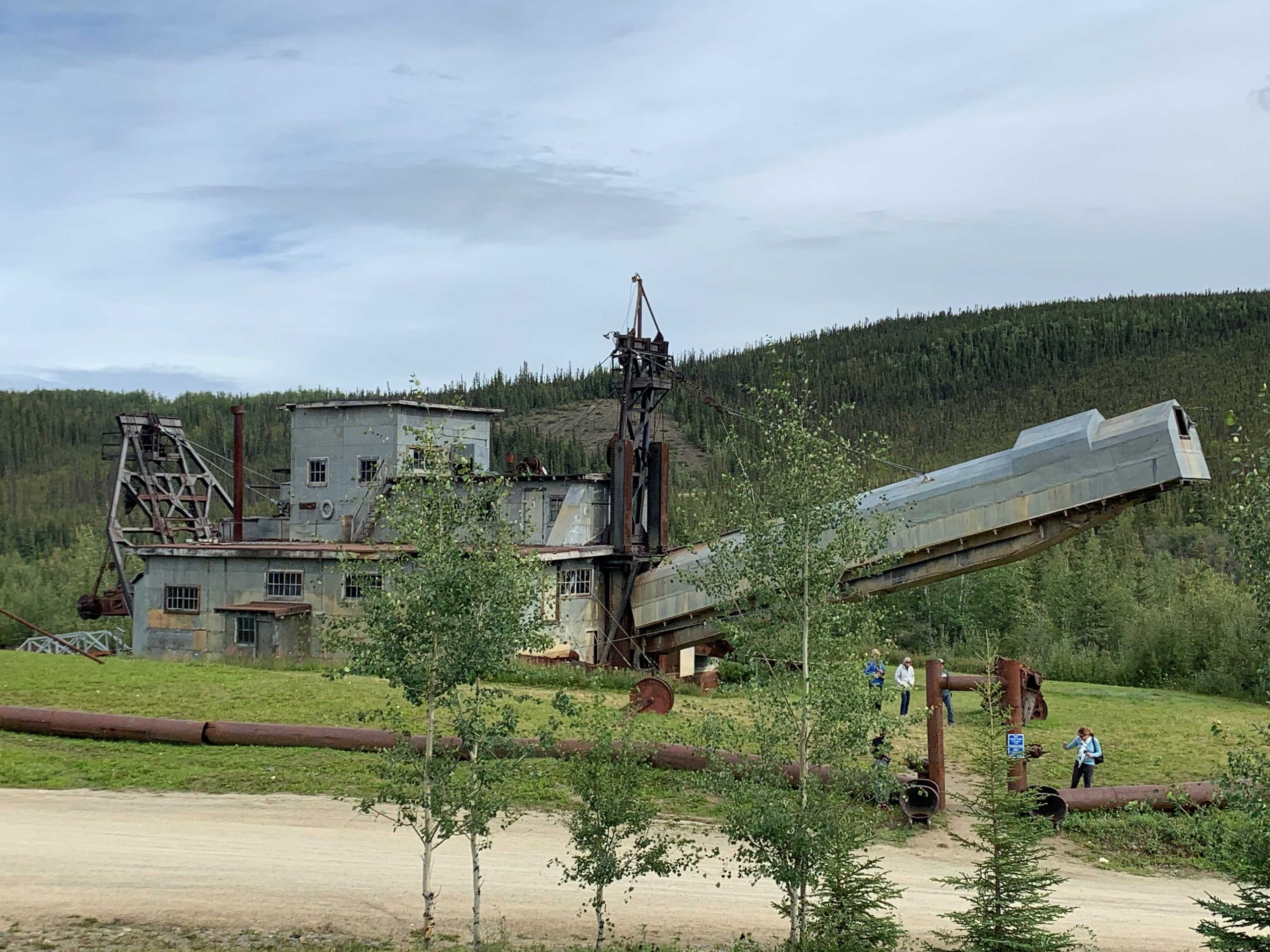
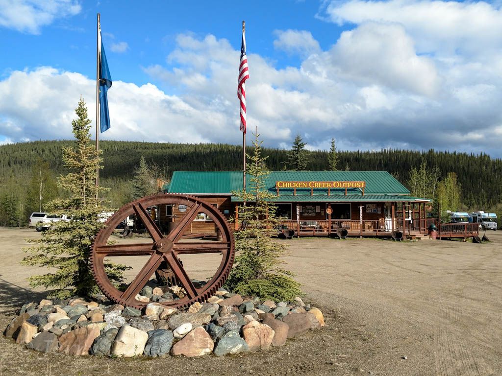
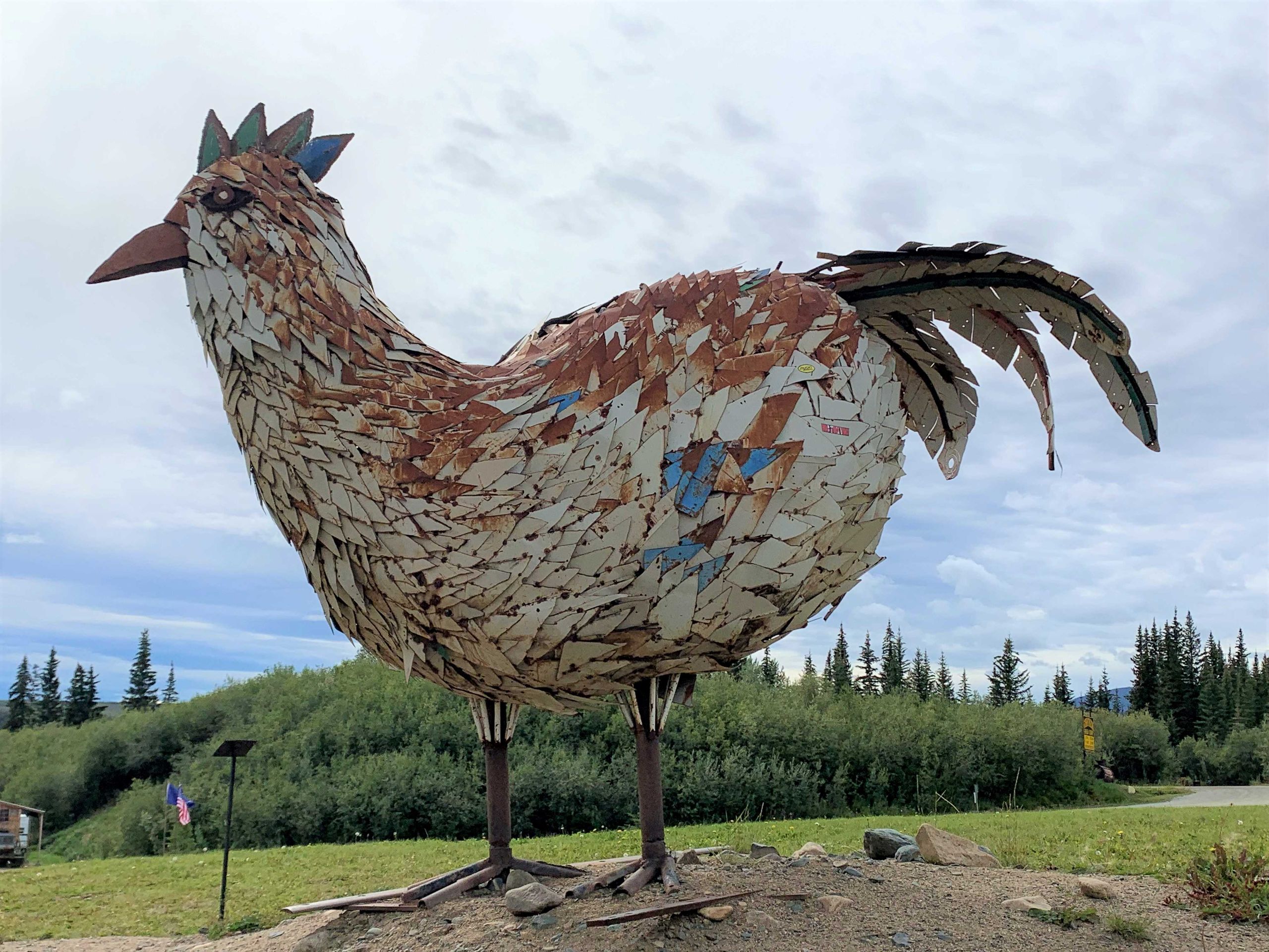
Nach einem letzten Blick auf den Yukon geht es am Taylor HWY wieder zurück nach Süden – zwei Elche kreuzen dabei sehr überraschend unseren Weg – machen wir einen kurzen Stopp in Chicken – eine früherer Goldgräberort – eine kleine Dredge, die „Pedro“ kann man dort besichtigen. Wie kam der Ort zu seinem doch etwas seltsamen Namen? Die einstigen Goldgräber wollten ihn nach den dort damals sehr häufig vorkommenden Schneehühnern -englisch: „Ptarmigan“ nennen, waren aber über die Schreibweise unsicher und nahmen daher das einfachere „Chicken“ als Namen. Heute gibt es „drei Chicken“ – allesamt Shops und einfache Restaurants für die Touristen und die Hobby Goldsucher.
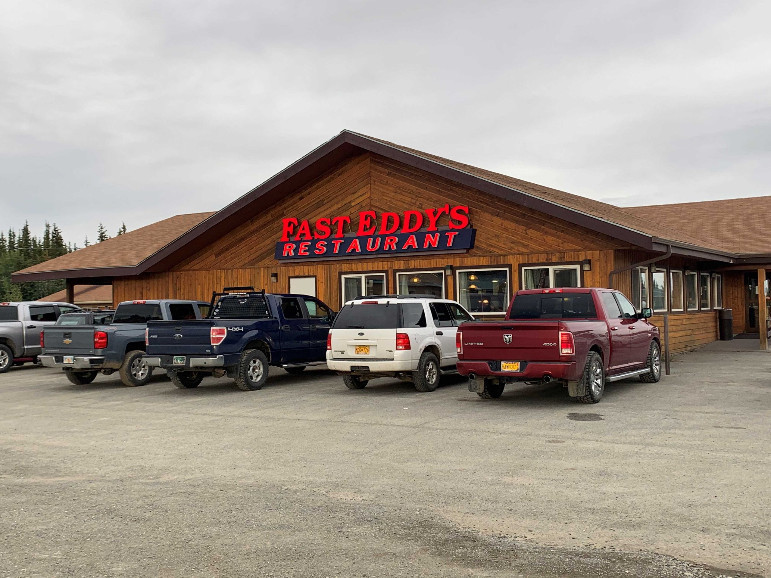
Der Taylor Highway führt uns, jetzt wieder asphaltiert zum Alaska Highway und bald danach ist die Ortschaft Tok erreicht, außer Shops, Tankstellen und das (lokal) berühmte Restaurant „ Fast Eddy’s) gibt’s hierüber eigentlich nichts zu berichten.
After the ferry across the Yukon, it first we drive about 130 km along the "Top of the World" highway, which is not paved, but very easy to drive on. You have beautiful views of "the wide country", which is largely uninhabited. After a little more than 100 km we come to the USA border station "Poker Creek" - the northernmost road border crossing to the USA. The clearance is surprisingly fast - computer check of our passports, question whether we are importing commercial goods, weapons or drugs and we are released to Alaska with an "Enjoy your trip, folks". Unfortunately, the earlier, special passport stamp with the caribou logo no longer is in use..
Soon after, the Top of the World HWY ends and we turn onto the Taylor Highway towards Eagle. Eagle will be the northernmost point of our journey. Here, too, about 100 km of gravel roads await us, which, however, are quite different and overall, significantly worse than the Top HWY.
Arrived in Eagle, we are a little surprised about the "Amundsen Street" as the main street, which also leads to the "Amundsen Memorial Park" - the connection between the Norwegian polar explorer and little Eagle is not clear to us. The inscription in the park and the Internet enlightens us - Amundsen was really, even for more than 2 months, in Eagle. In the course of the first successful navigation of the North West Passage from 1903 to 1906, after his small ship "Gjoa" had sailed the Arctic Islands to Herschel Island (in the Arctic Ocean near the Canada / USA) Amundsen first came to Fort Yukon and later to Eagle on foot and by dogsled – a distance of more than 800 km through complete wilderness. He was keen to tell the world and his sponsor Fritjof Nansen of the first descent - and Eagle was an important base at the time and had the northernmost telegram connection. In spring of 1906 he traveled back to the Arctic Ocean and brought ship and crew safely to Nome in western Alaska. Today Eagle has only about 100 permanent residents.
After a last look at the Yukon we go back south on the Taylor HWY - two moose cross our path very surprisingly - we make a short stop in Chicken - a former gold mining town - a small dredge, the "Pedro" can be visited there . How did the place get its somewhat strange name? The former gold diggers wanted to call it "Ptarmigan" after the ptarmigans that were very common there at the time, but were unsure of the spelling and therefore took the simpler "Chicken" as the name. Today there are "three chickens" - all shops and simple restaurants for tourists and hobby prospectors.
The Taylor Highway leads us, now paved again, to the Alaska Highway and soon after we reach the village of Tok, apart from shops, gas stations and the (locally) famous restaurant "Fast Eddy's" there is really nothing to report about here.