Our trip to
China this year begins due to a favorable flight ticket price at the airport in Vienna, from where I will travel to the airport using the Austrian Federal Railways and can utilize free rides from my employer. Out of a maximum of four free rides, I only need two, which allows me to use two other trips in
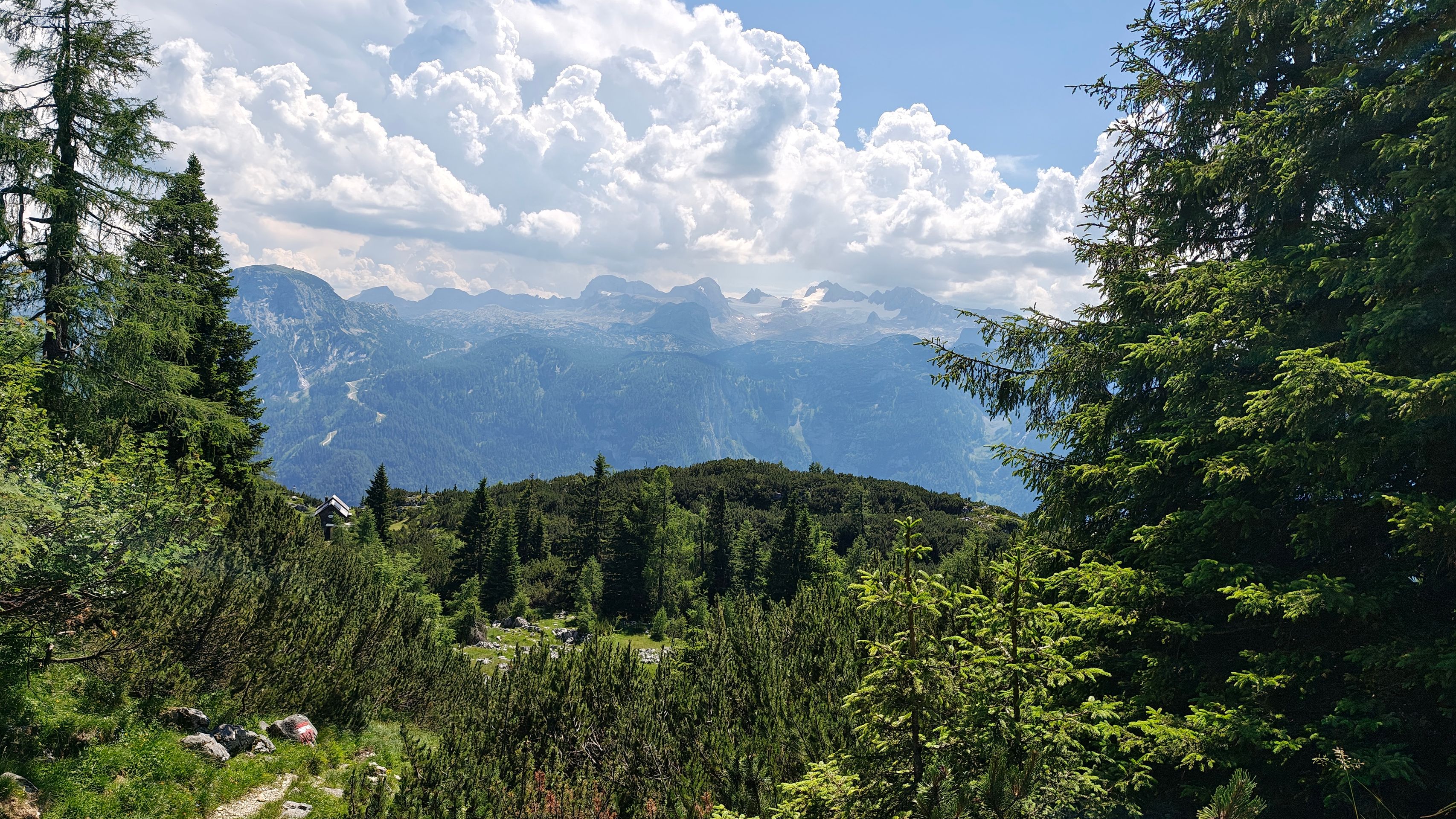
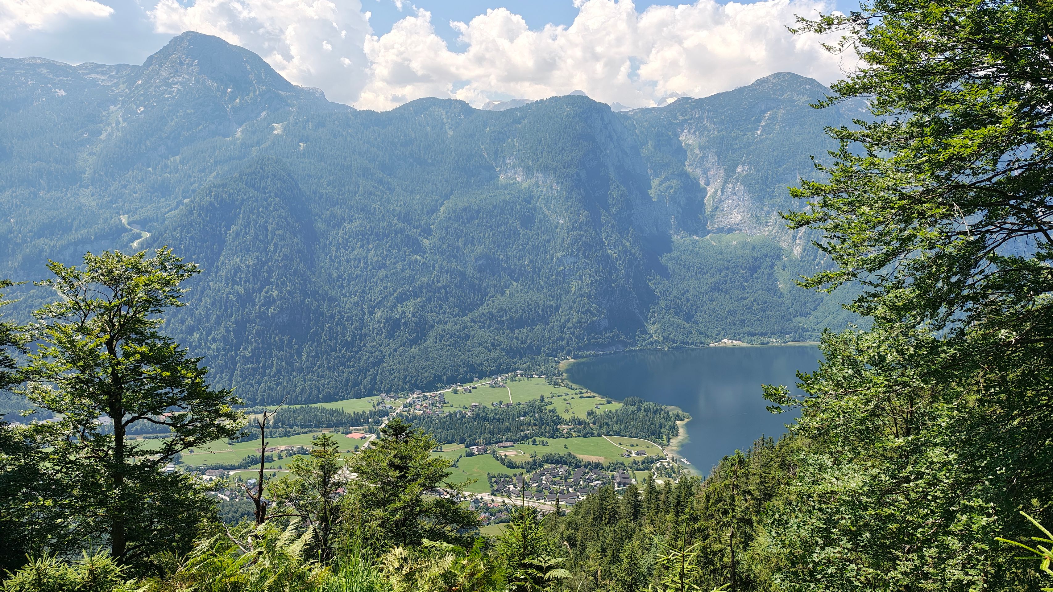
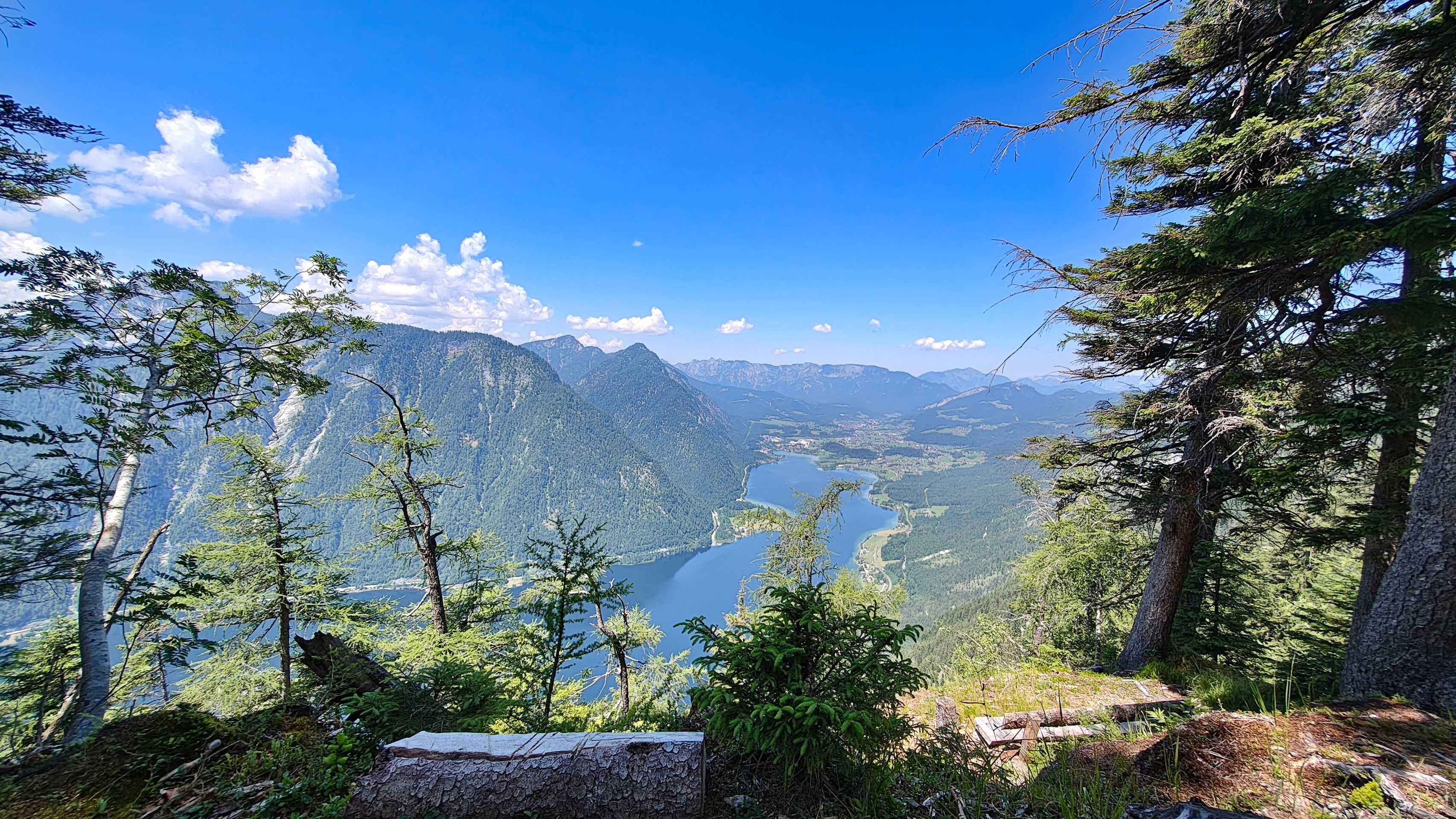
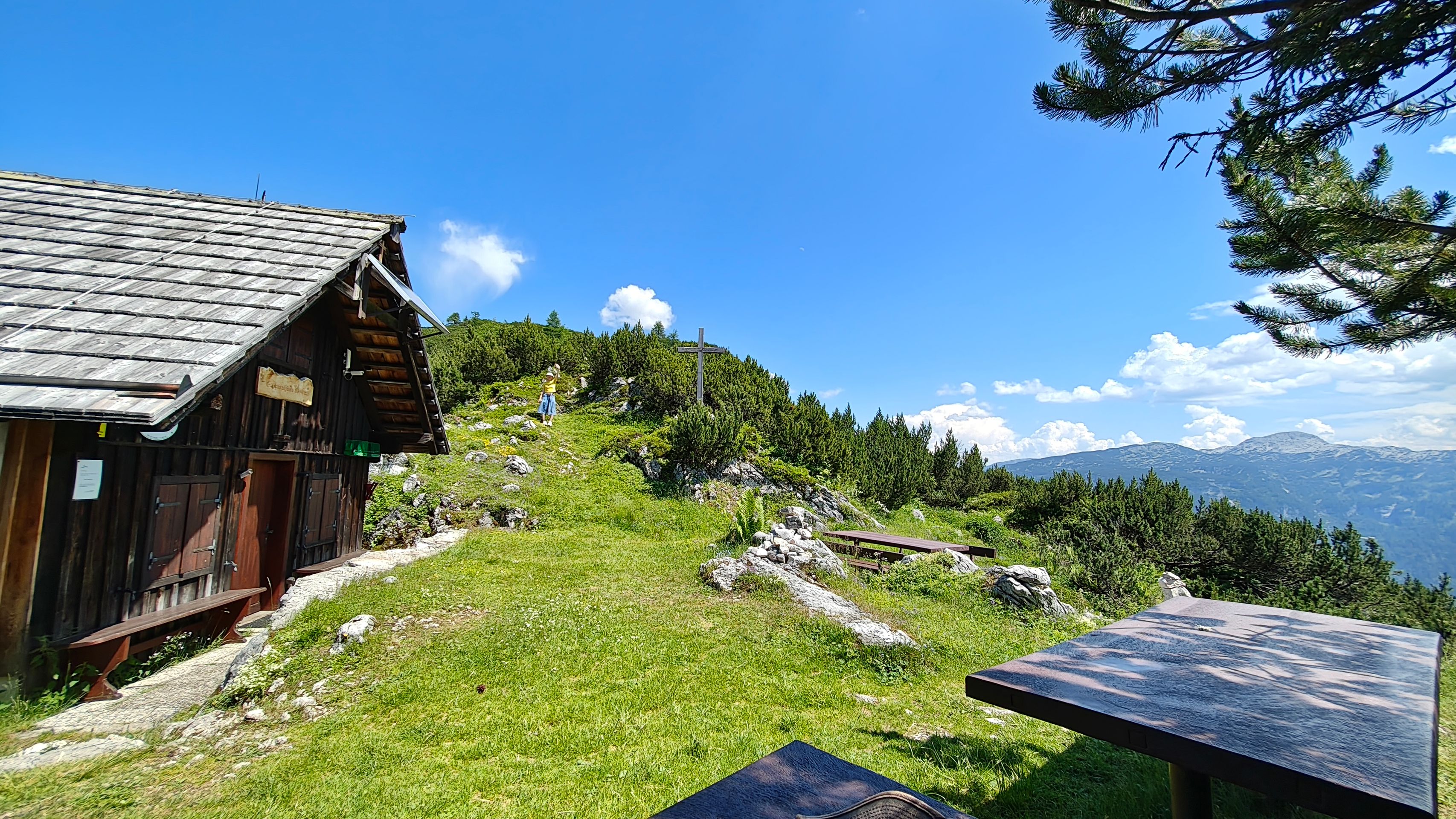
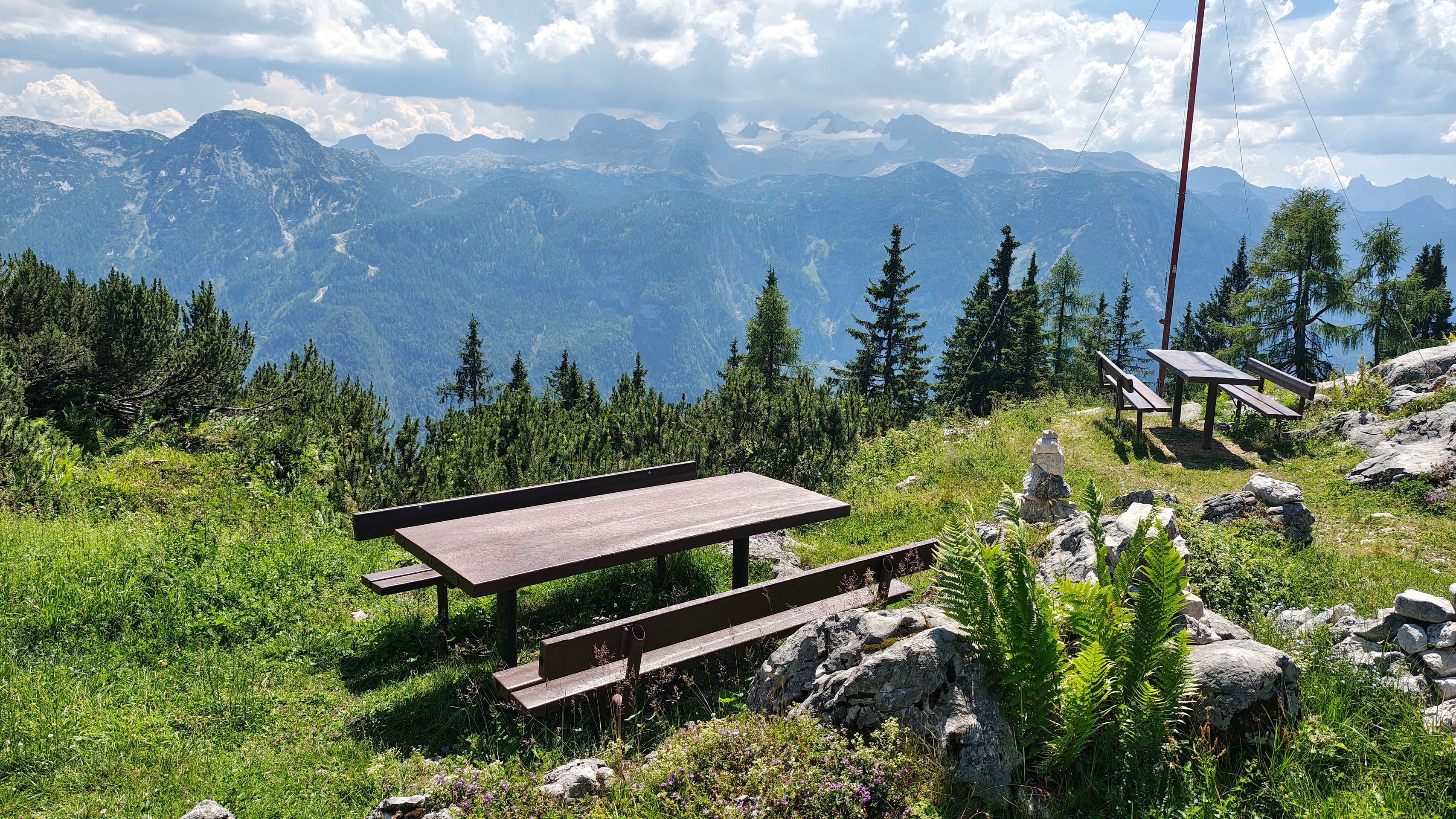
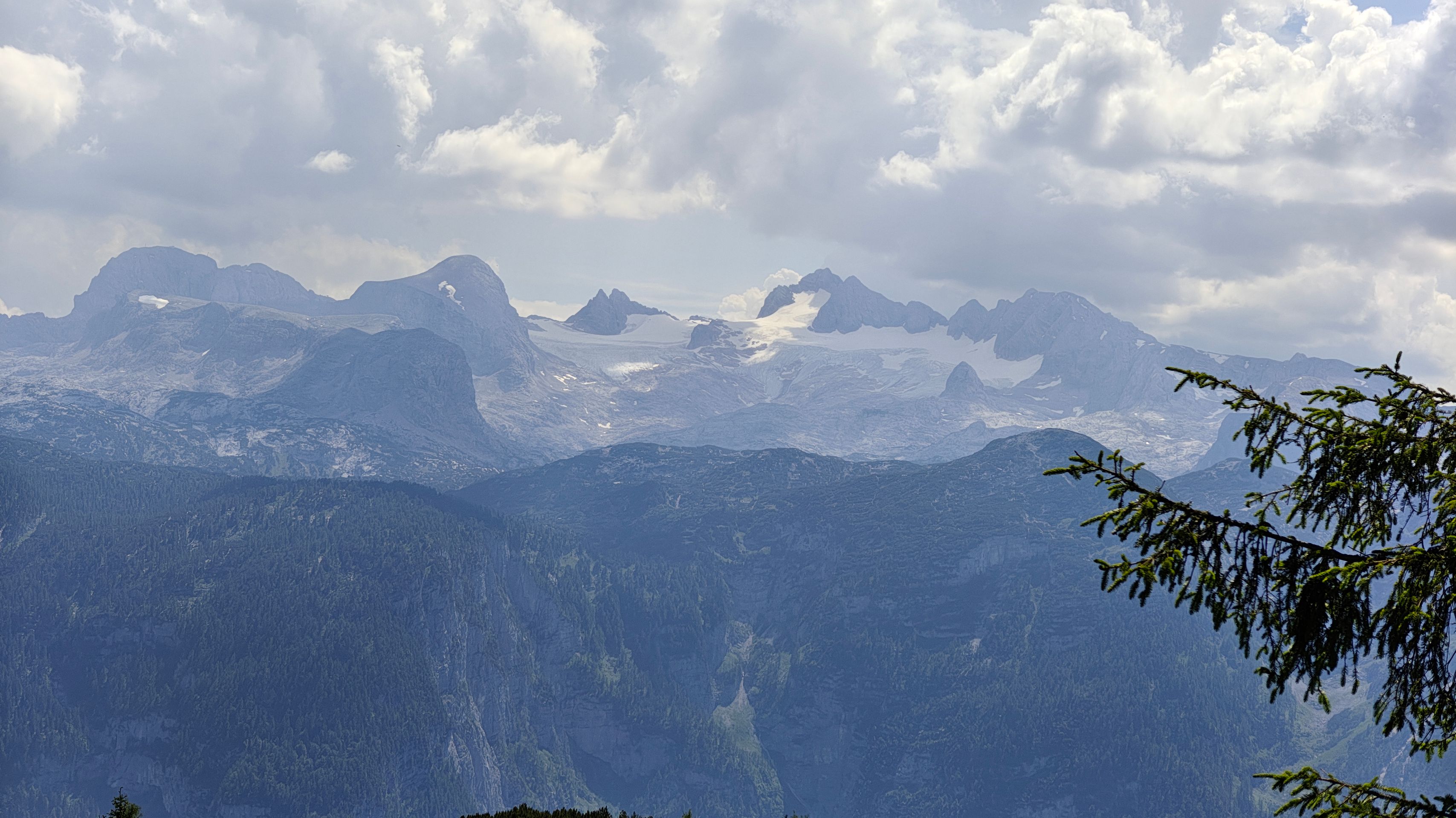
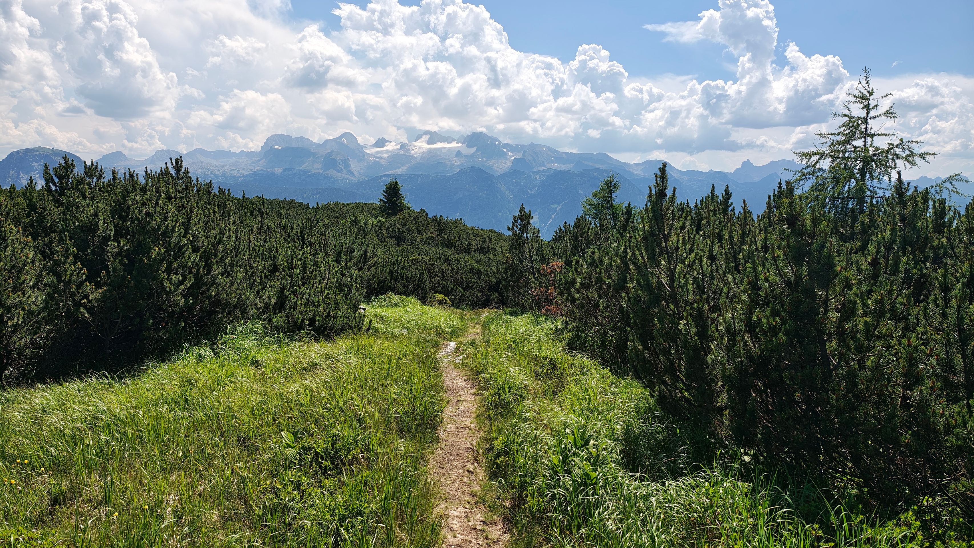
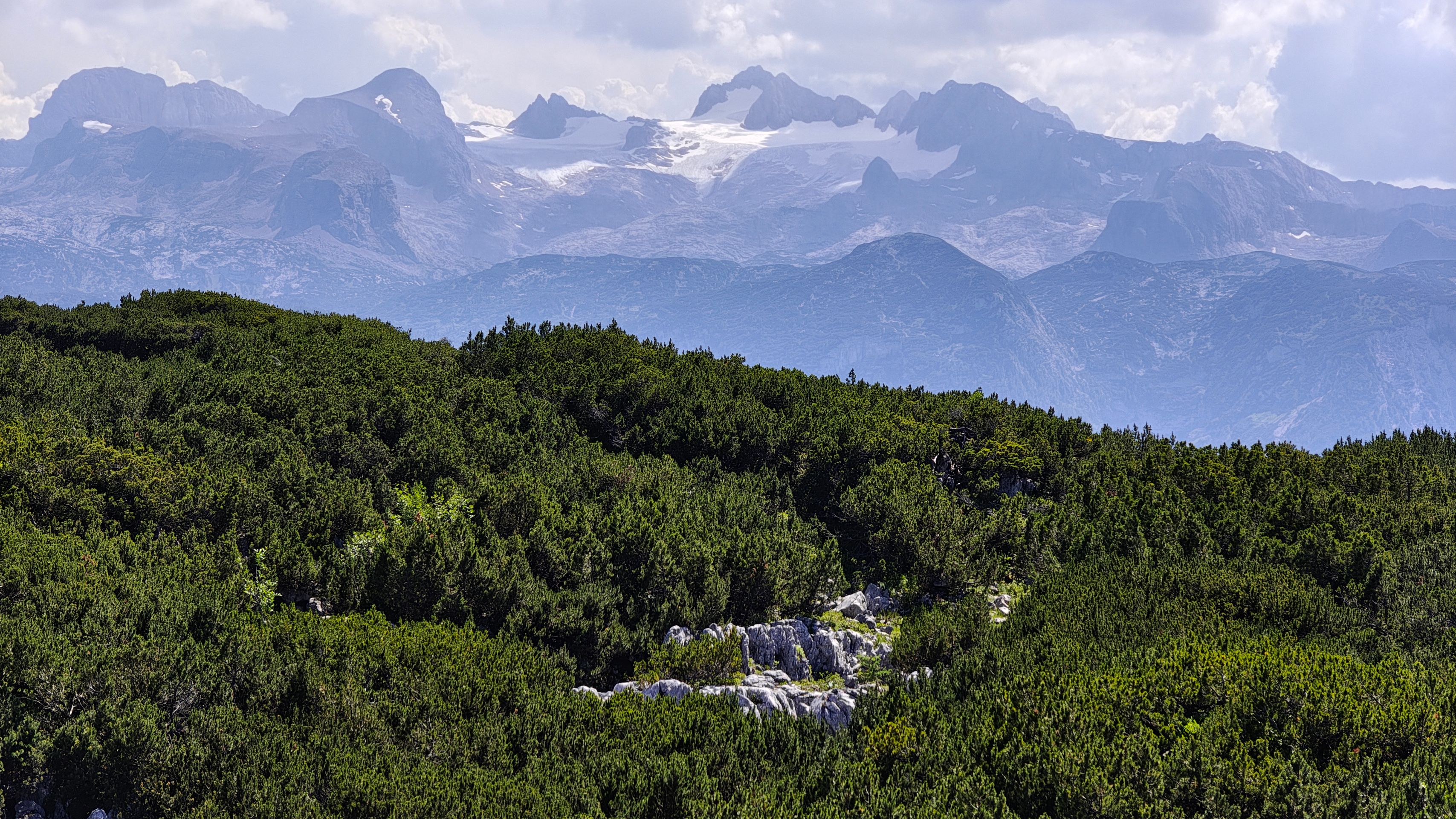
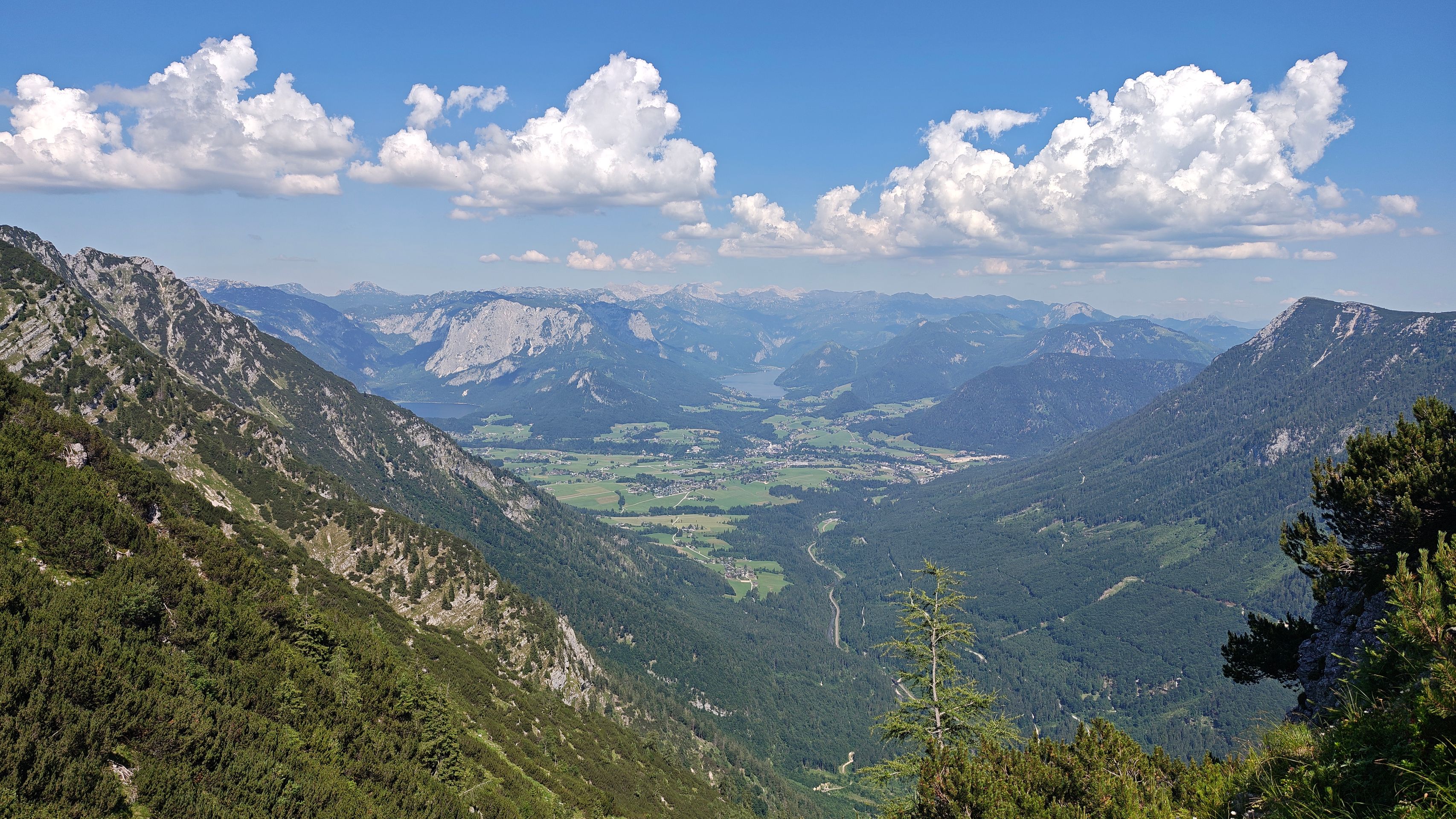
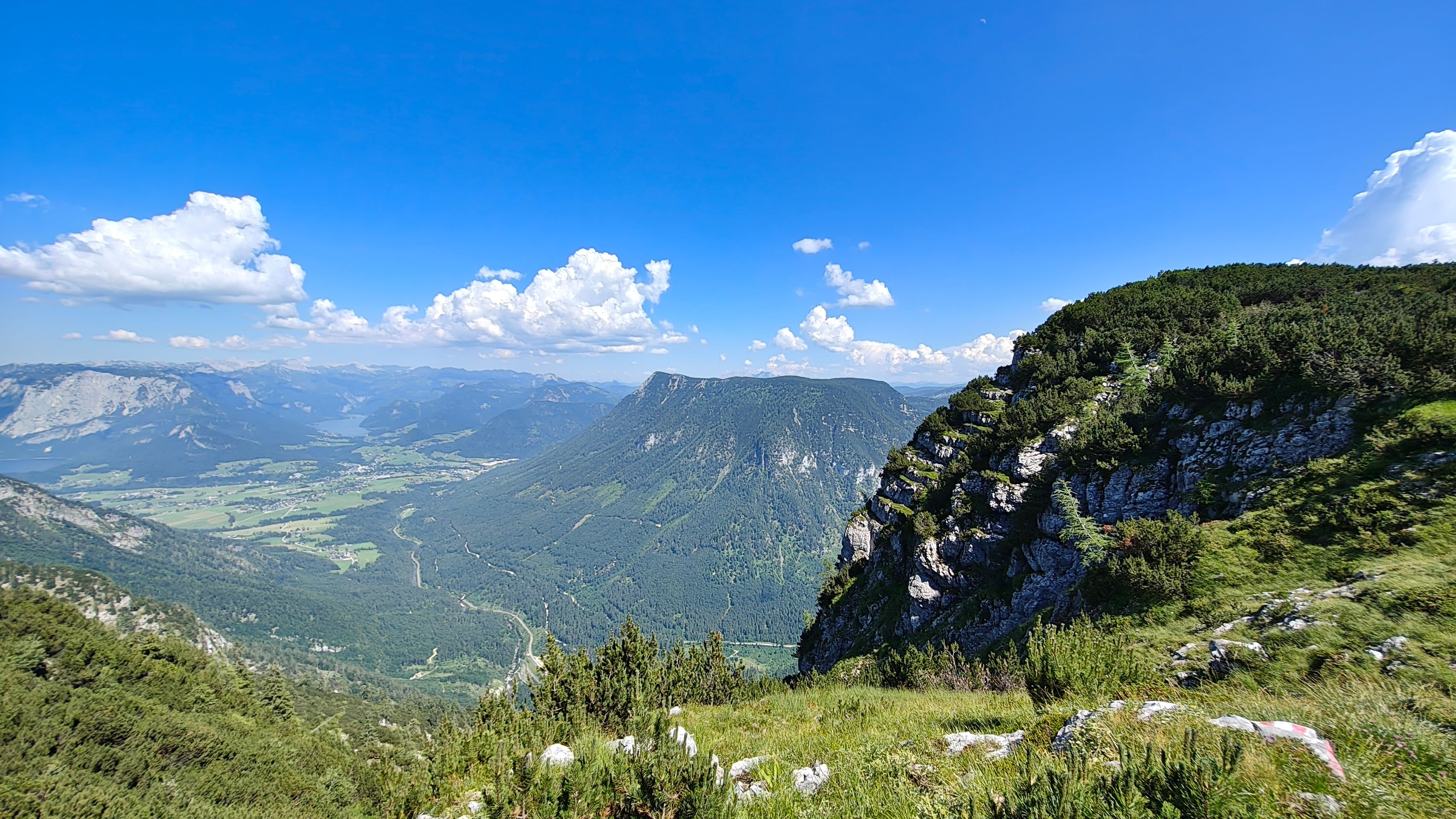
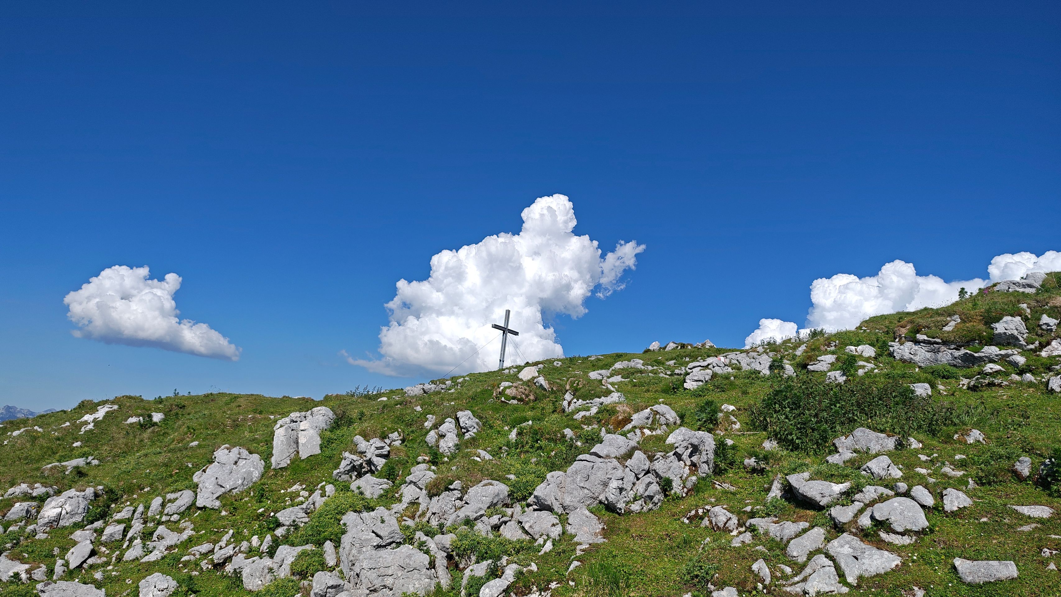
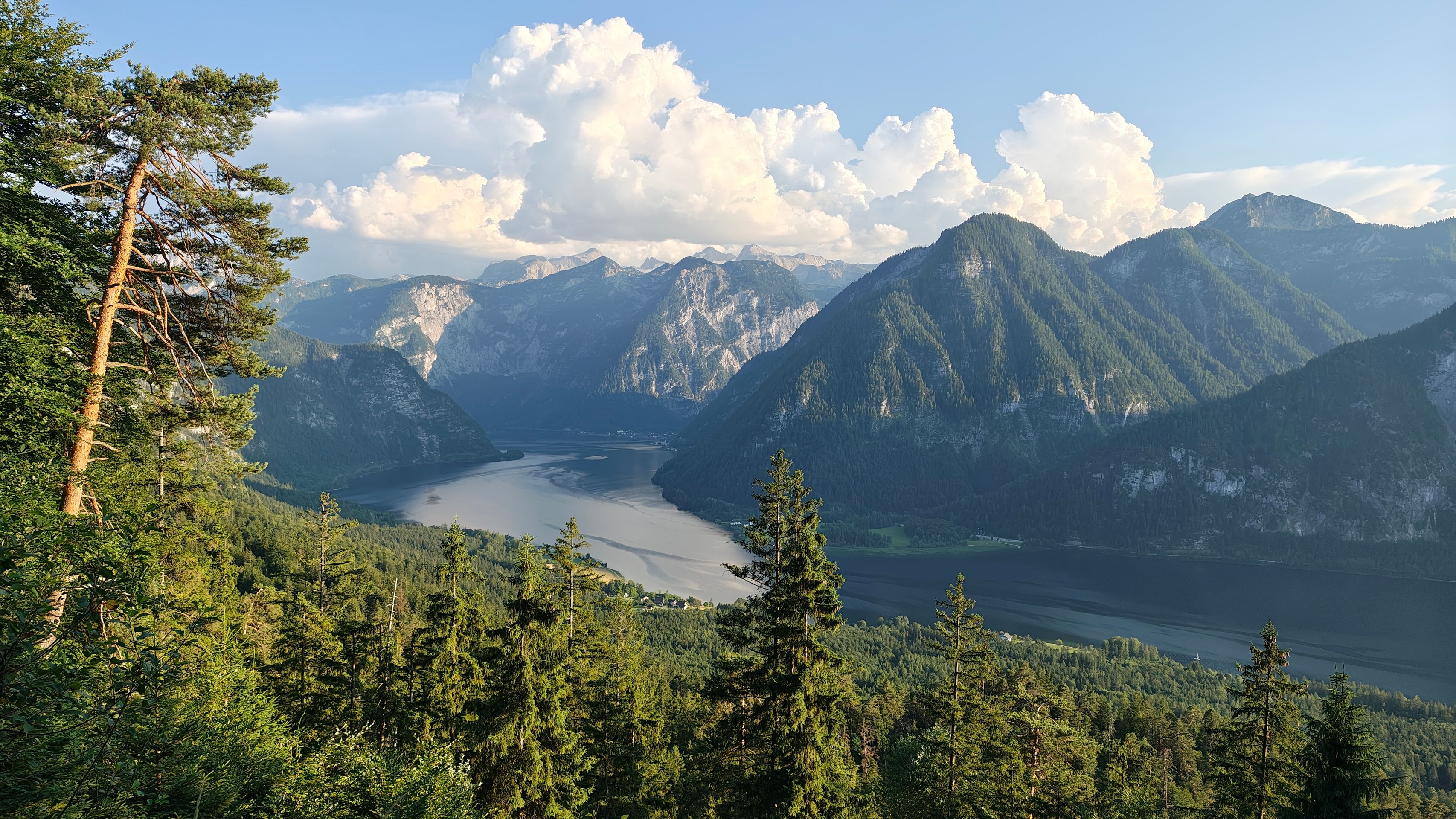
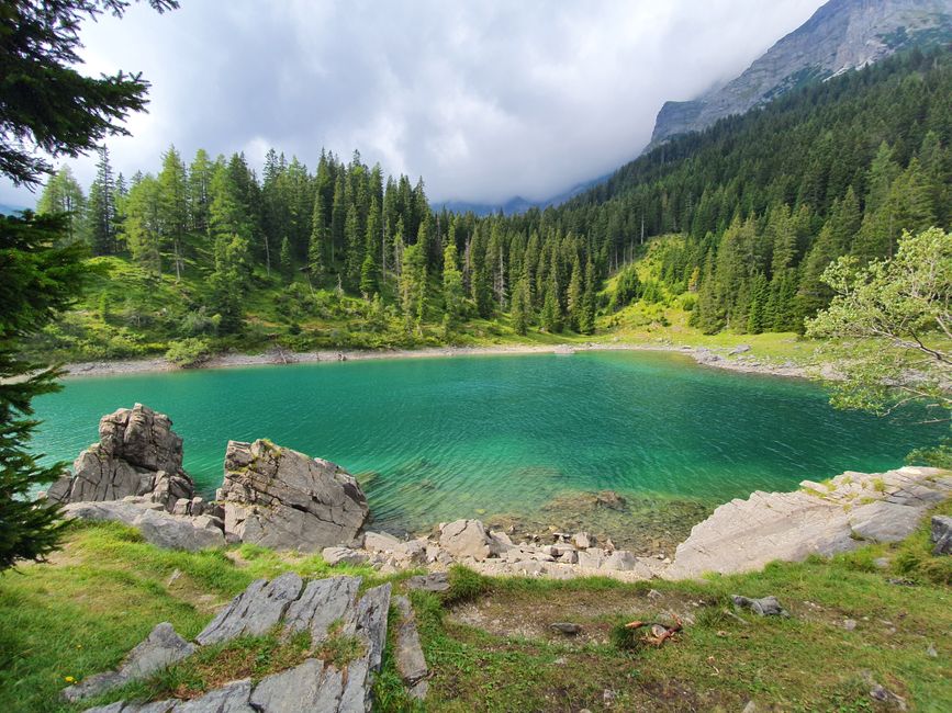
Austria beforehand. One of these trips takes us to a mountain hike in the Alps near Lake Hallstatt. In the Dachstein mountains, we want to climb the Sarstein, and the hiking descriptions I read online led me to expect a pleasant tour... I wish I had researched a bit more. Because the tour turns out to be quite challenging and extremely strenuous for us inexperienced hikers. We start at the train station in Obertraun and immediately as we enter the forest on the ascent, it is a hard climb up in switchbacks. We make extensive use of benches and viewpoints for breaks, and the view of Lake Hallstatt and the opposite Dachstein mass is simply magnificent. The path is also quite pleasant, mostly in the shaded forest, but it seems never-ending. Even when the line of switchbacks on my map transitions into a straight line and I hope for a flatter ascent, it continues steeply uphill. My legs begin to ache, and I clearly realize that my last major hike was several years ago and that I have not gotten any younger since then. Finally, we reach the Sarstein hut, at which point I am completely exhausted. We have already covered 1,100 meters of elevation from the train station to here. The hut is beautifully located, with a fantastic view, and it even provides drinks in an aluminum box for self-service for the exhausted hikers. We take our lunch break and then head toward the mountain peak on the high plateau. Up here, it should be flatter, or so my hopeful and misleading thought goes, but the terrain amidst the stunted pine areas continues to be hilly, and in the end, we face another climb to the summit. By now, I am experiencing calf cramps in both legs. The breaks are becoming longer, and our hiking speed is slowing down. For that, we are rewarded with wonderful views: face to face with the Dachstein glacier and the backdrop of Lake Grundl from way up high. I spare myself the last meters to the summit and take a shortcut to the descent path, but even so, I have reached an altitude of over 1,900 meters and completed 1,400 meters of elevation with my aching feet. The descent starts off quite easy since other muscle groups in the legs are now at work. But it is steep again, and the mix of stones, earth, and leaves on the path requires us to be extremely cautious and vigilant when placing our feet. At a hut, we refresh ourselves with ice-cold water from a mountain spring, brought to our attention by brave young hikers who are climbing up and probably want to spend the night on the mountain plateau. By now, it has become late, and we are battling against time, as trains do not run infinitely late in this area. The descent simply seems never-ending, and every time I check the map app, the position icon hardly moves. Clearly, we are covering the distance mainly vertically and not horizontally. Actually, after the ascent, I already felt dead; therefore, my exhaustion during the descent is doubled. Eventually, we reach the hiking parking lot, but unfortunately, the taxi company is not answering the phone right now. Therefore, we trudge towards the train station, which is still an hour away from the parking lot. We would have made the train at half-past eight if a local had promptly taken us to the station in five minutes. But nobody was willing to do that. We experienced it very differently in China, where at lunchtime (see my contribution about Wujiao in China:
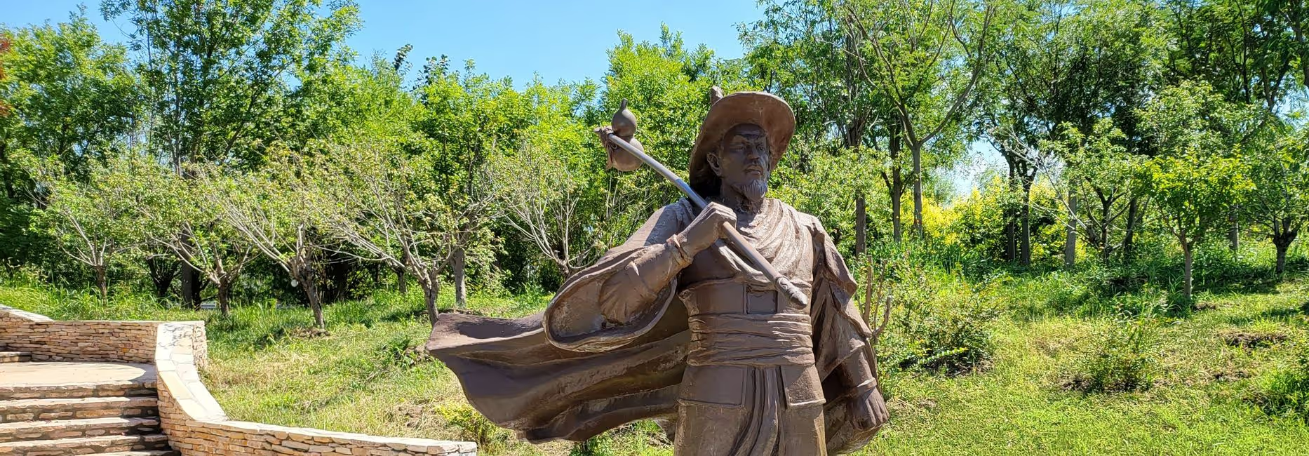
LöwenPost 2025/16) we couldn't get a taxi at the remote Xunzi mausoleum, and a staff member of the facility drove us into town with his small vehicle and even took three laps around the parking lot with the windows down first, so it wouldn't be so hot in the car (see my travel blog post from 2023:
Xunzi Mausoleum). Unfortunately, the Austrians cannot shine with such warmth, which is why we miss our train, drag ourselves to the station, and then catch the very last train. For the stated 7 ½ hours tour, we ultimately took over 11 hours, and my wife is unmatched in bravery. Only at half-past one at night do we collapse at home like a coma in bed. Lesson learned and my recommendations: 1. I have gotten old and am no longer in top hiking condition. 2. Never underestimate altitude metrics. 3. The Sarstein hike is only for trained mountain hikers, but it offers great views and a beautiful landscape. 4. Don't miss the Franz-Kysely hut and Goiserer viewpoint, but enjoy the great views. 5. I recommend taking 5 liters of water, as we only had the luck to refill. 6. Hiking poles are helpful, especially on the descent. 7. Plan significantly more time than indicated. Then it will be a great hiking tour!