after the summer break: Hiking in northern Germany
My shoes had worn soles in places. So I continue hiking northward in a new pair of hiking boots. Here I feel the need to look back once more, to remember the first half of

Published: 16.08.2026
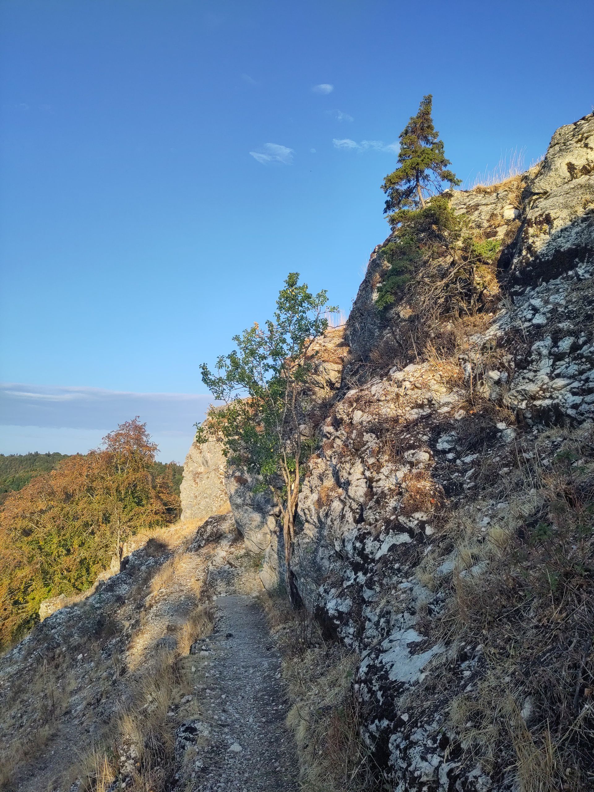
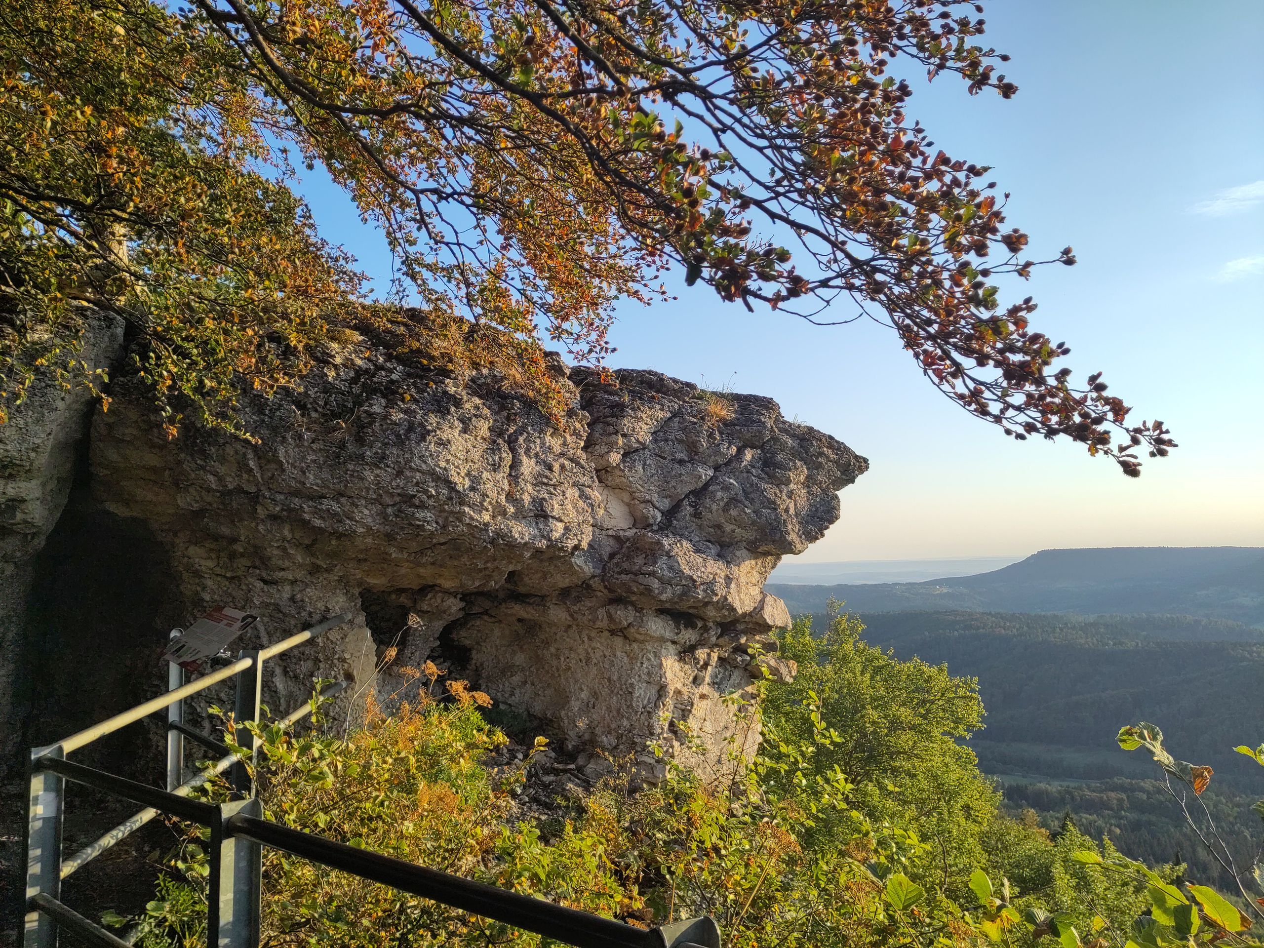
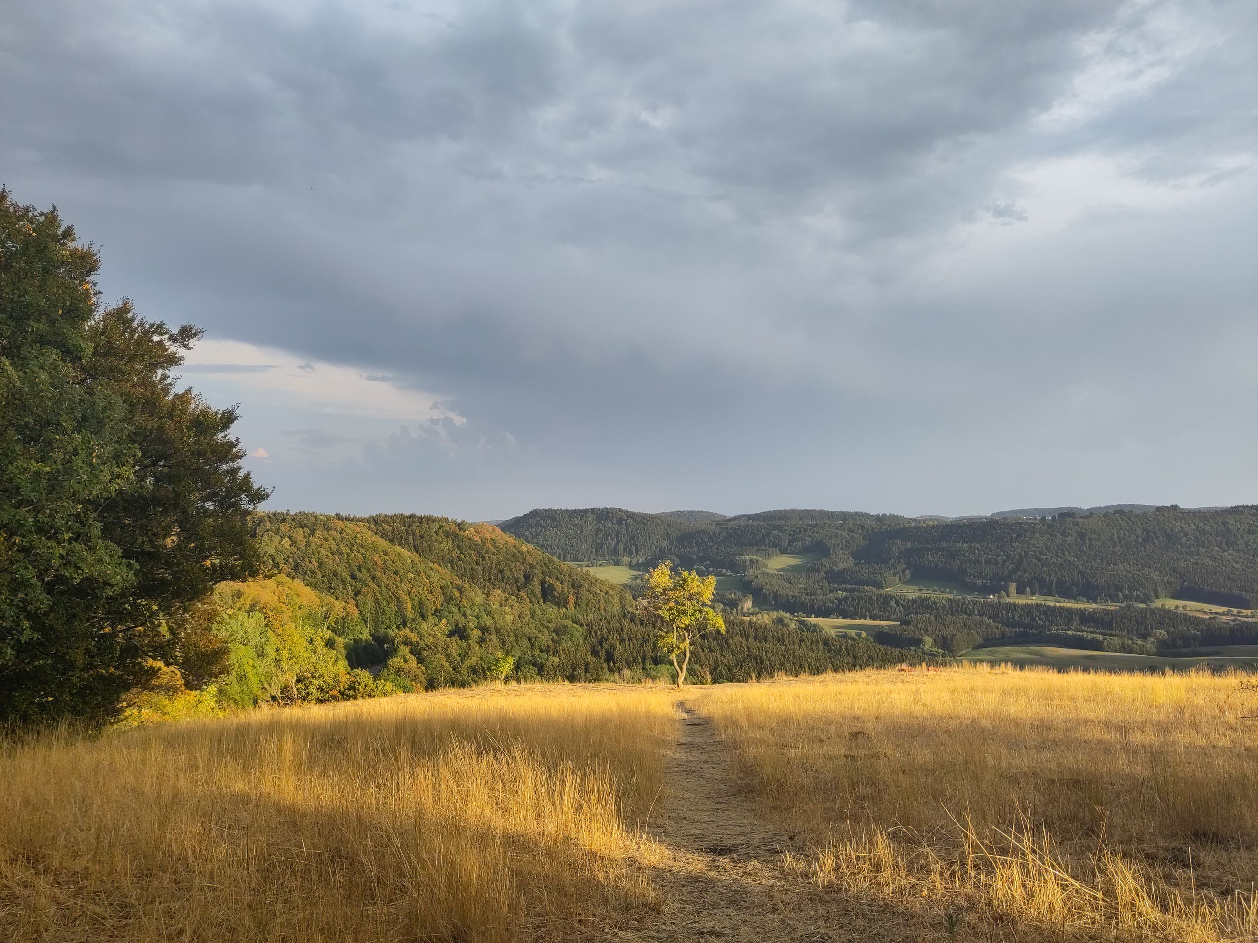
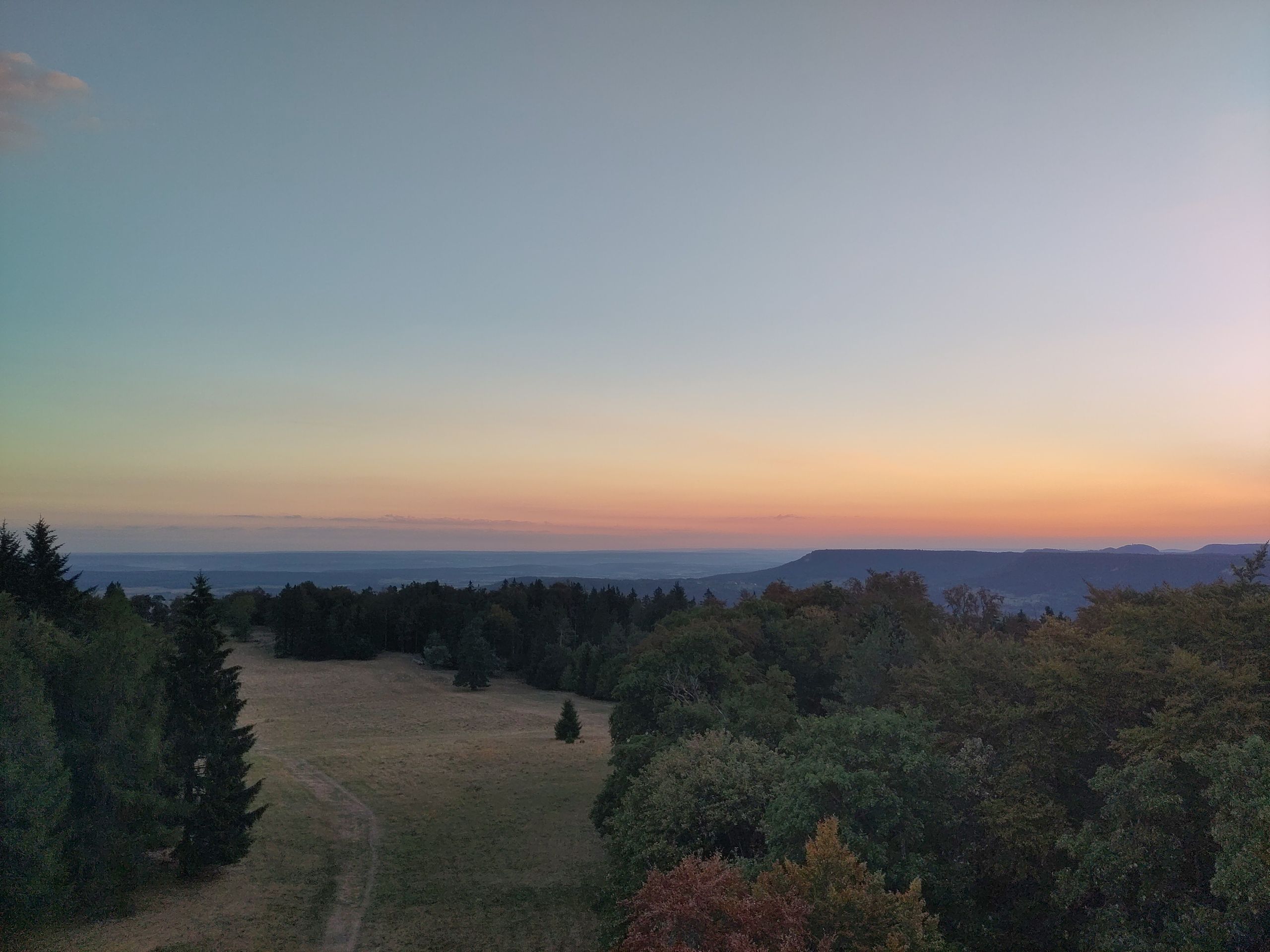
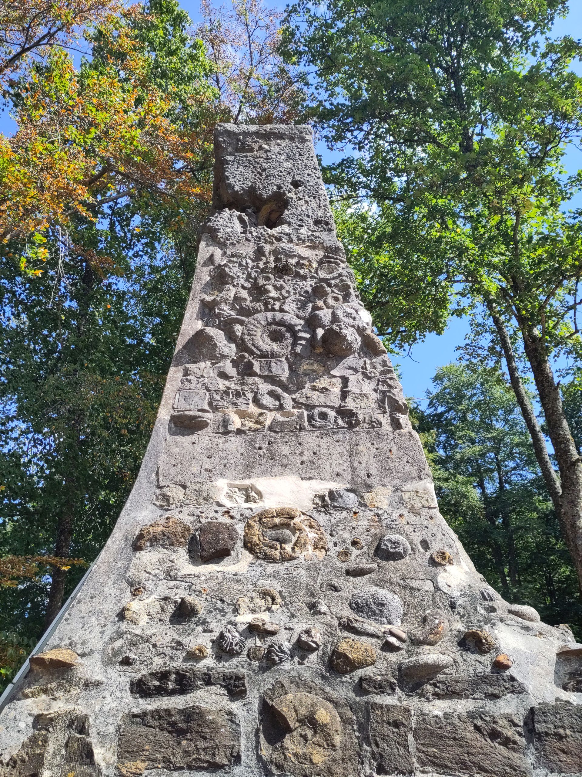
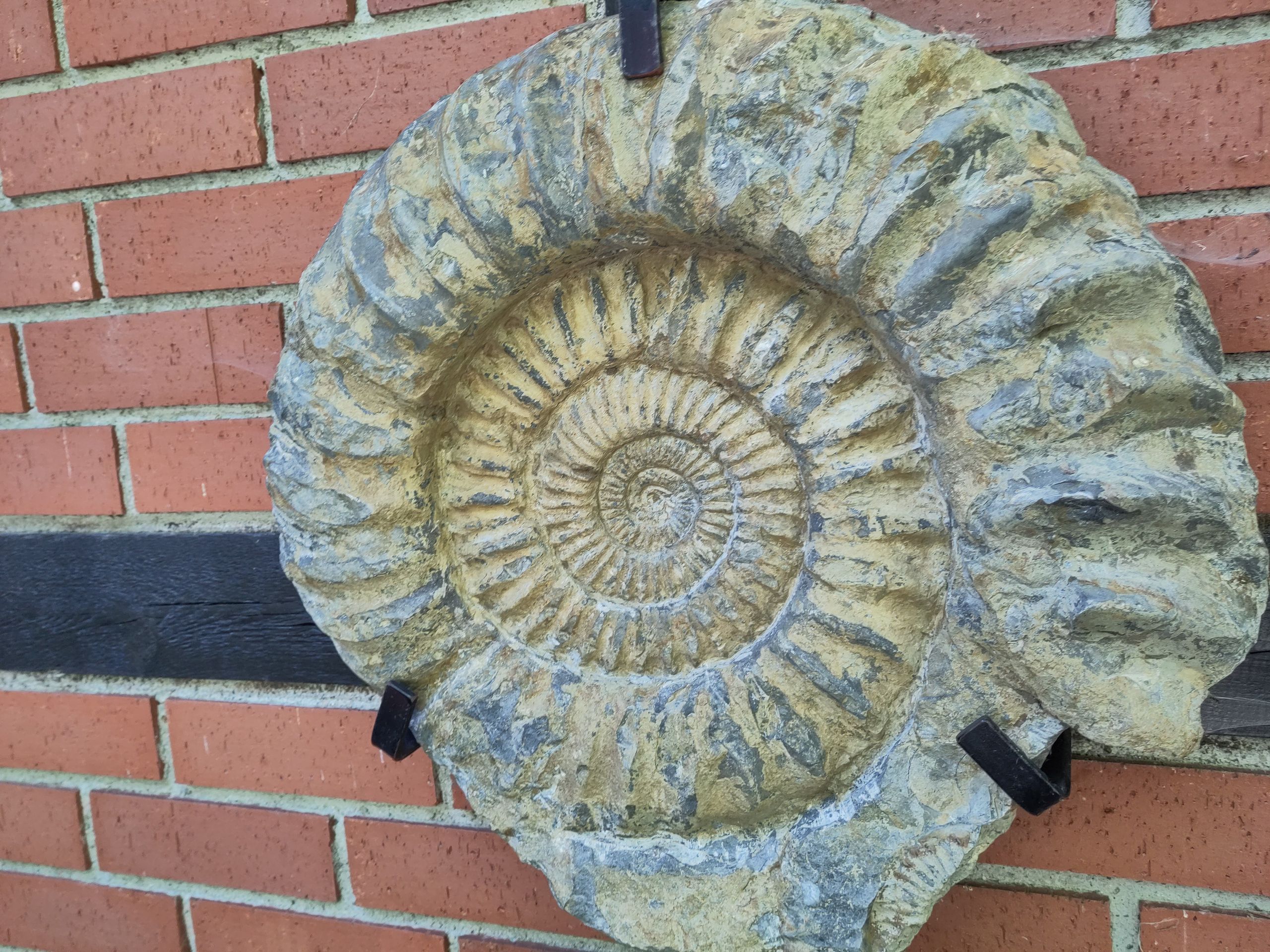
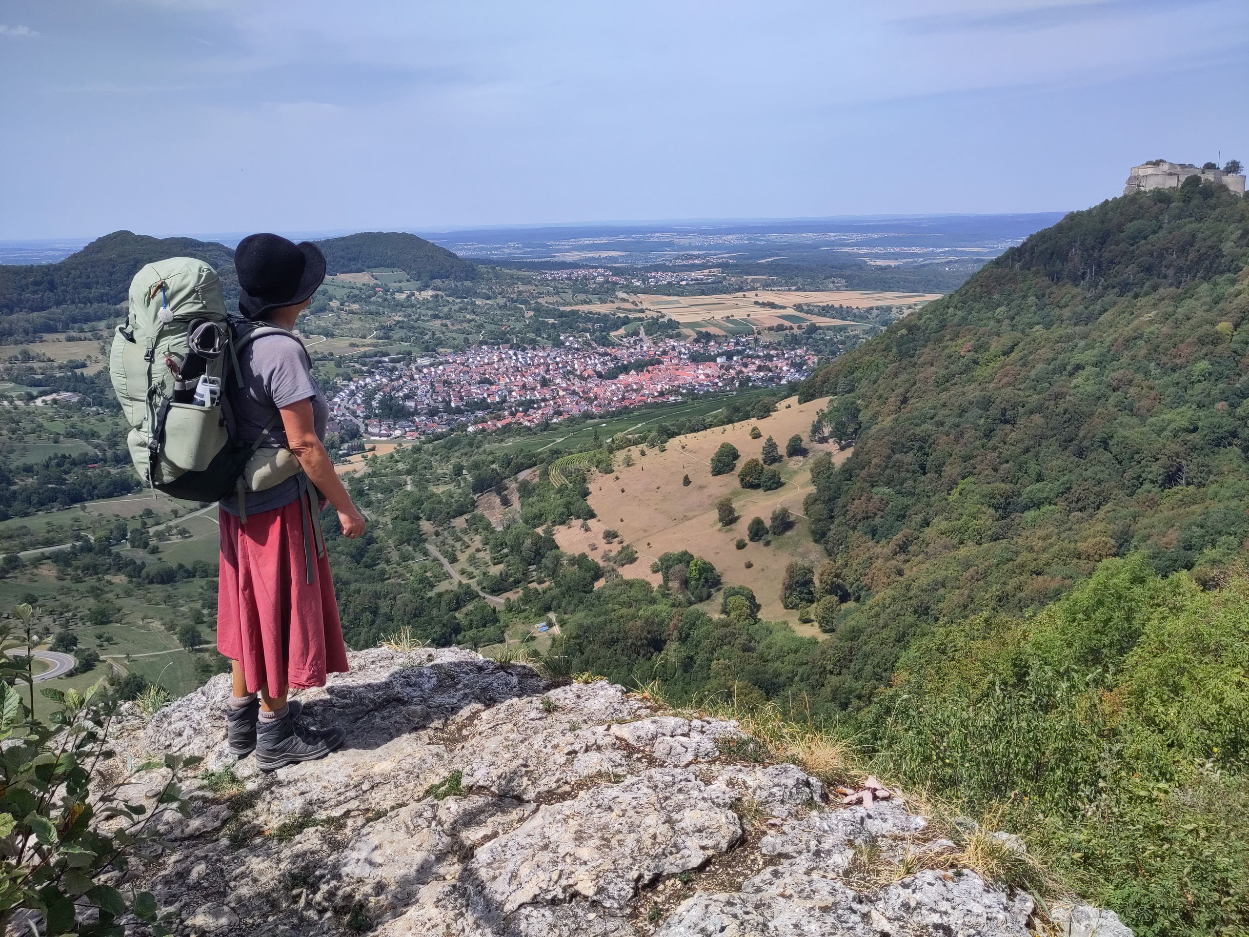
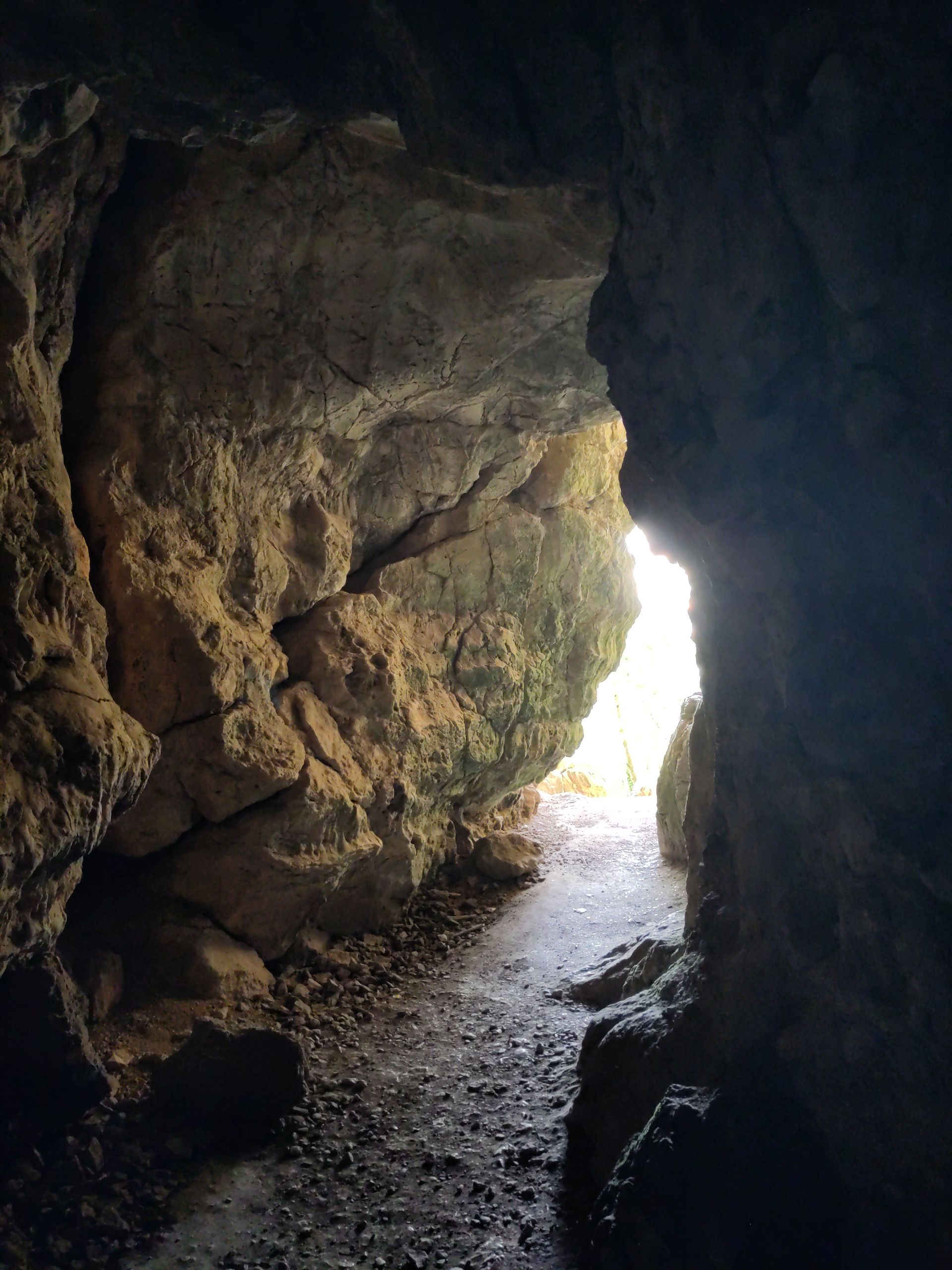
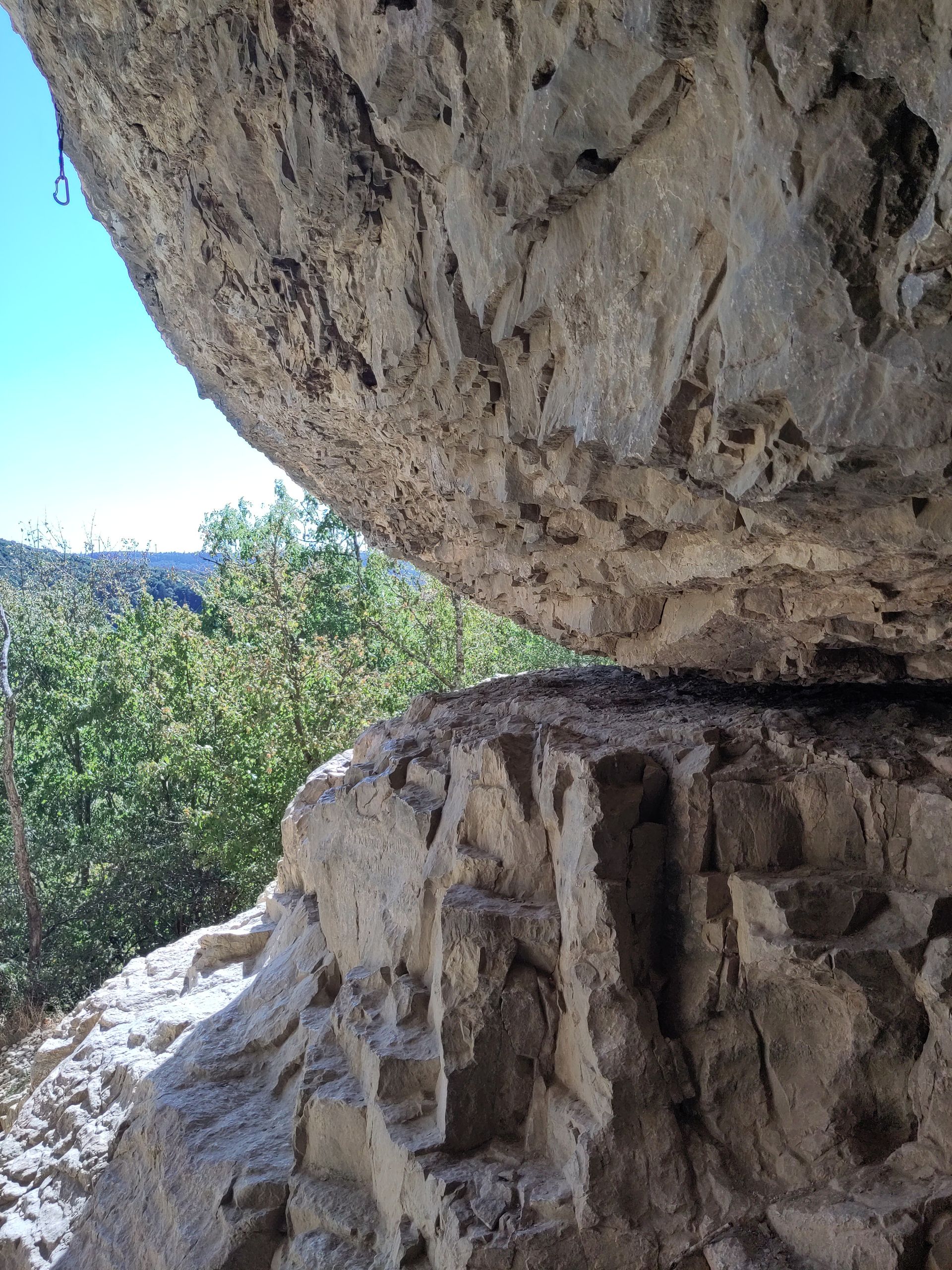
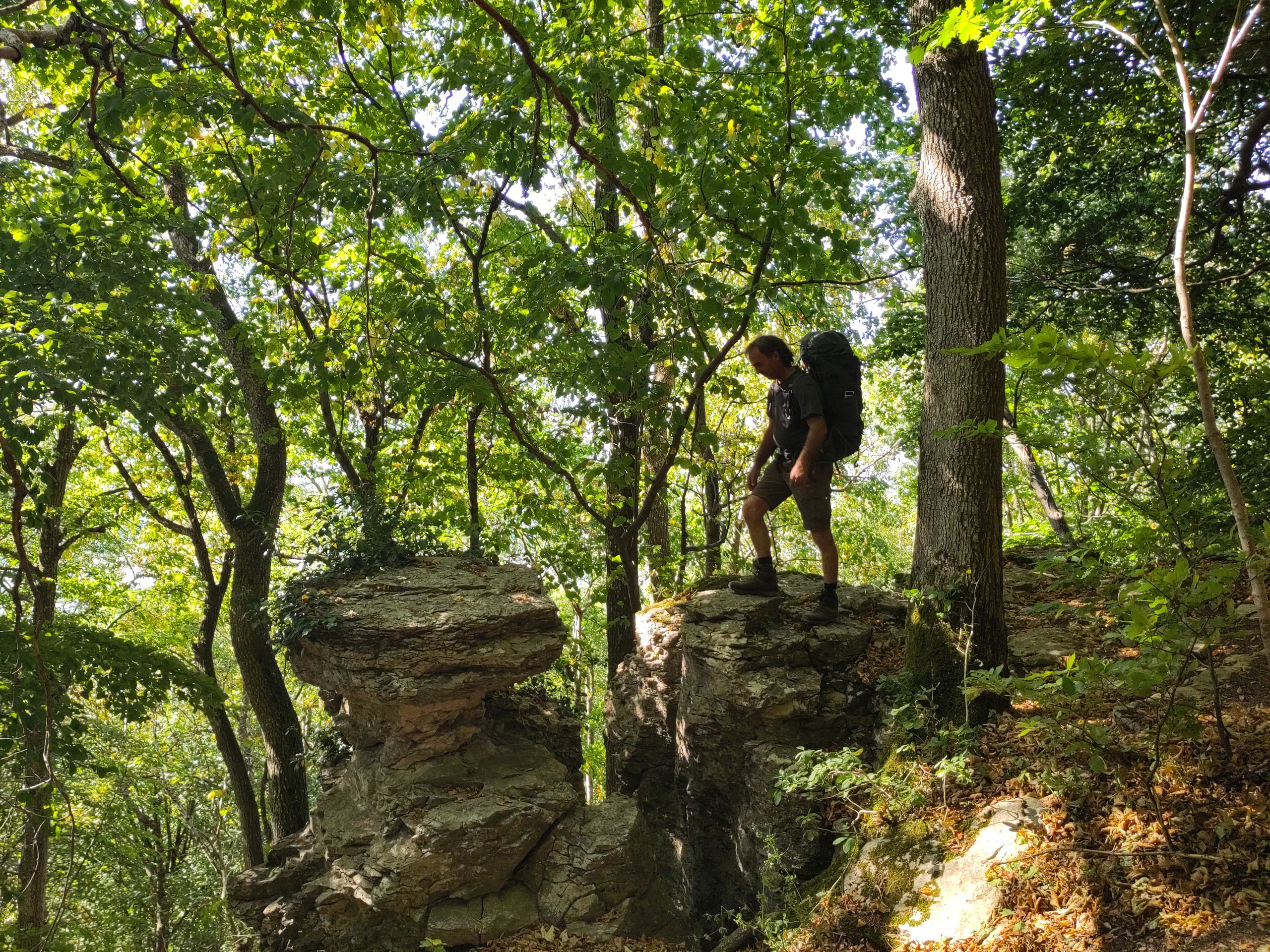
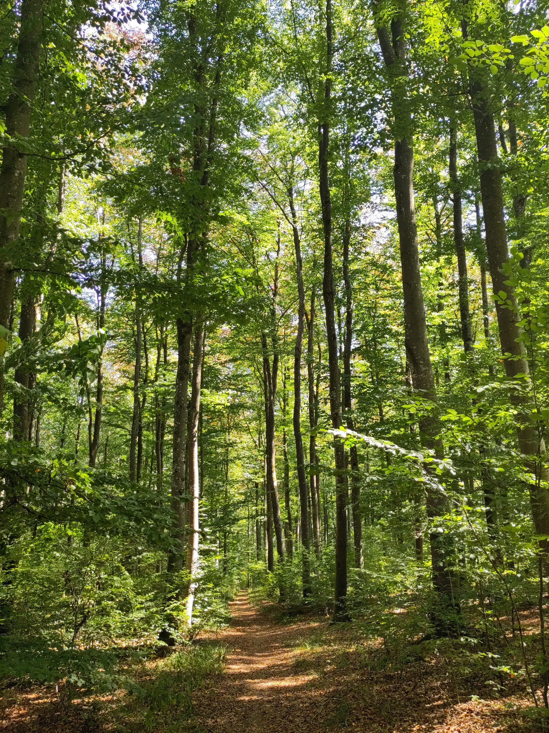
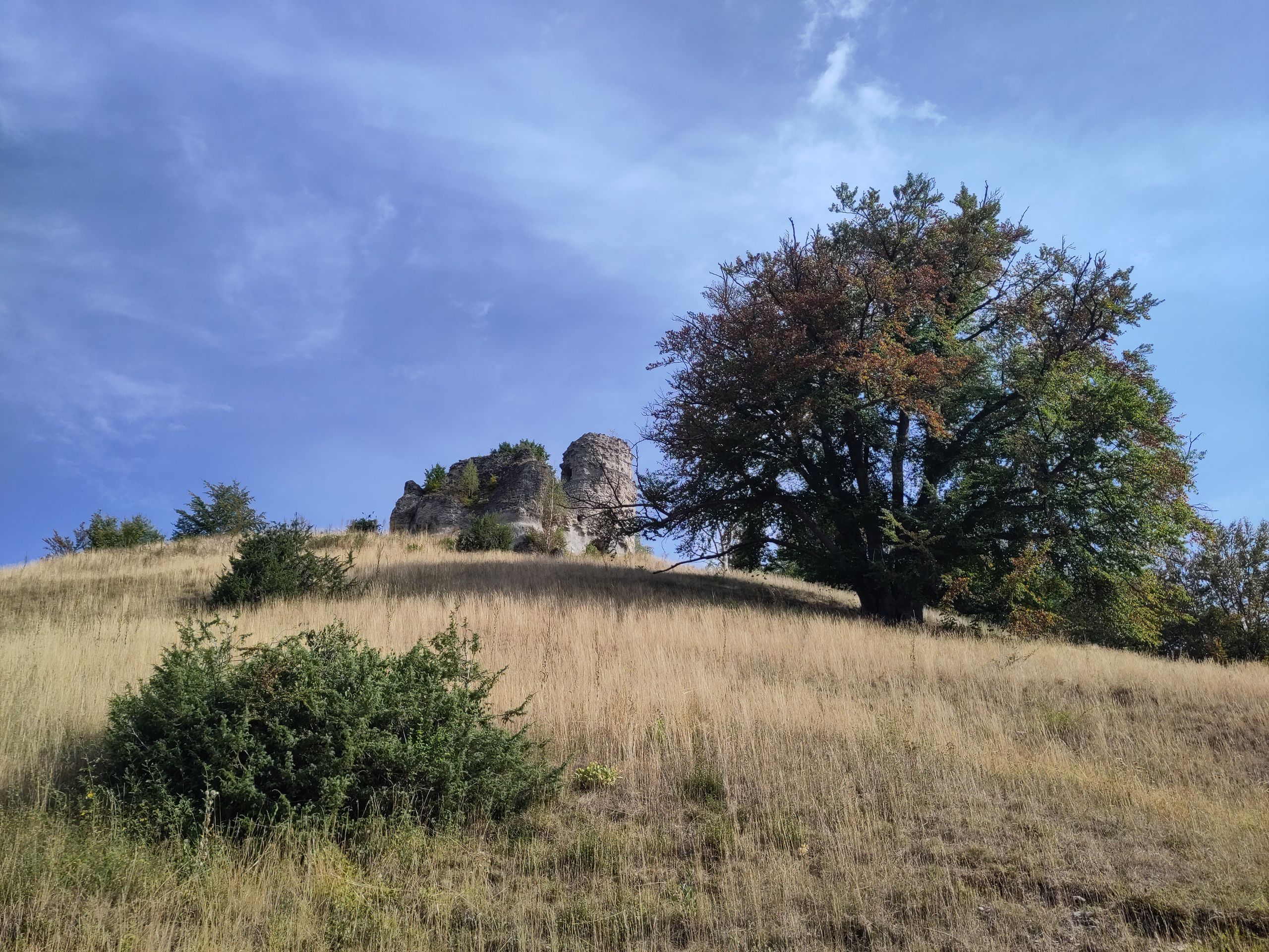
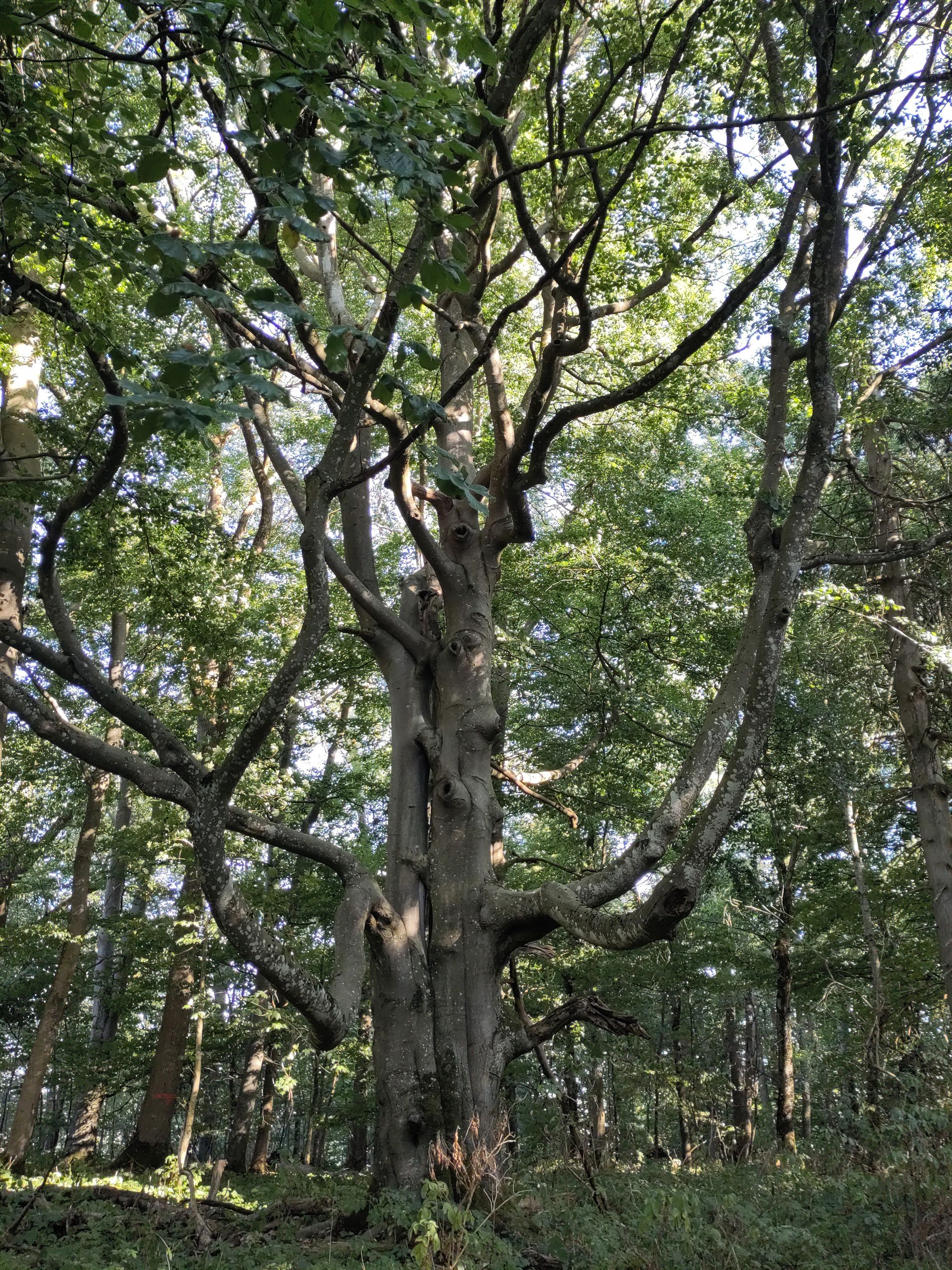
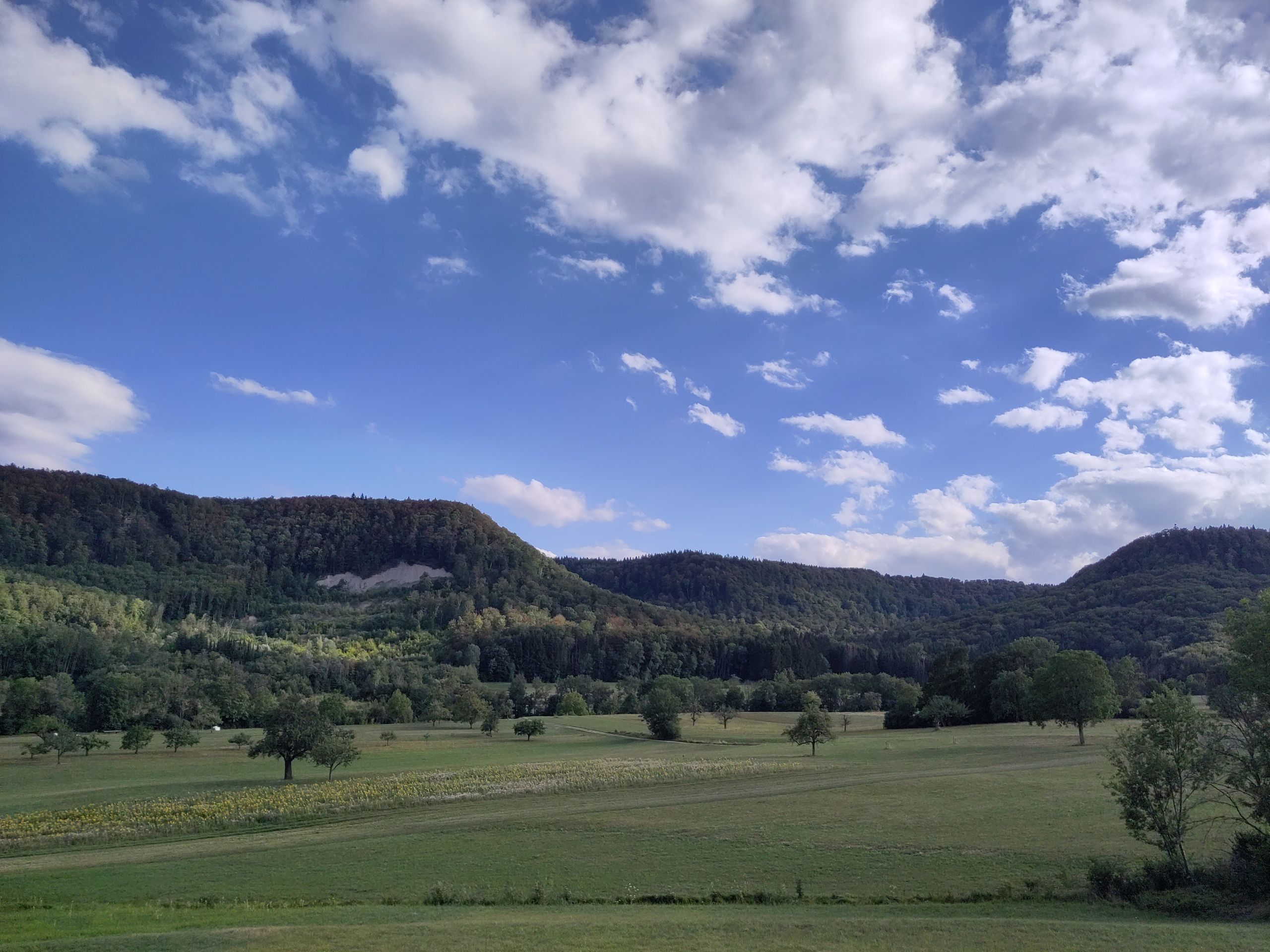
For the past two weeks, I have been following the HW1, the Swabian Jura North Edge Trail, one of the oldest long-distance hiking trails in Germany: always along the edge, the northern steep slope of the Swabian Jura.
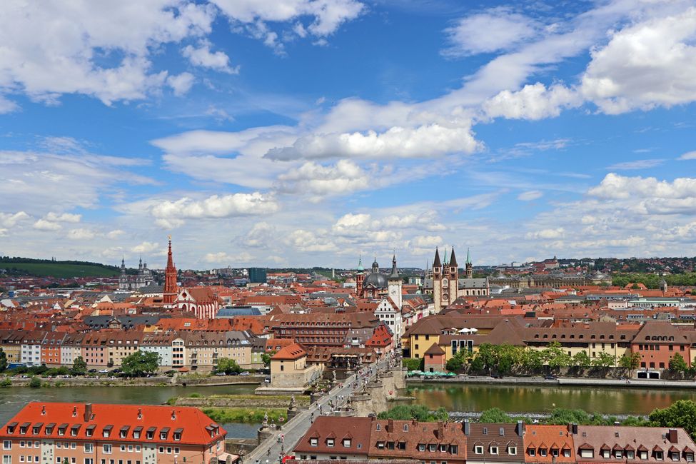
I pondered for a long time which paths to choose in Germany from south to north. The classic European long-distance trail E1 runs too far west for me and passes through large cities like Darmstadt and Frankfurt am Main. A sequence of Jacob's paths, for example, would roughly create a south-north connection along the A7 route, which undeniably represents the shortest north-south route through Germany. However, since I am not in a hurry, I decided to chain together scenic long-distance hiking paths, even if it means I will not reach the north of Germany directly. So I initially hiked on quiet, lonely roads under old linden trees, eventually enjoying a beautiful view of the town of Tuttlingen below me in the Danube Valley: a tall church tower, red tiled roofs, large factory and office buildings too: Tuttlingen is mainly home to medical technology. Unfortunately, the town church is locked, I get a delicious apple as a gift in the market, and otherwise, I feel less like I am in a small town in southern Germany and more like I am in a Muslim country, both from the people in the streets and the signs of businesses and restaurants. I then reach the HW1 over the still narrow 'young' Danube. Just as it melodiously strikes 12 o'clock from all the churches in Tuttlingen, I arrive at the 'Hungerkreuz' above the town and look back...
The Swabian Jura (limestone from shells and corals of the Jurassic Sea) stretches roughly 200 km through southern Germany; the hiking trail (from Tuttlingen to Donauwörth) is naturally much longer, as the edge does not form a straight line but rather winds and requires constant ascents and descents due to valleys. At the beginning of my path, the Jura often has a truly ‘alpine character’ with rocky, steep, exposed paths and peaks rising above 1000 m. Now the peaks are 'only' around 750 m high, but the ascents and descents are similar, whether the peaks are at 1000 m and the places in between are at about 650 m, or the valley is around 300 m and the heights around 750 m...
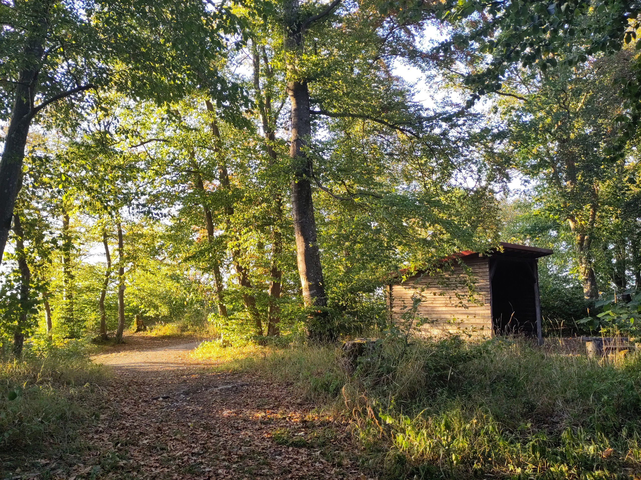
I am repeatedly amazed that it is possible to hike for many kilometers and half days in deep silence and solitude on narrow paths through (mostly beech) forest in densely populated (south) Germany! I actually already know some of these sections of the trail, but I have never hiked the HW1 in its entirety. Of course, it is not just solitary forest paths; all the landscape forms characteristic of karst regions are also present: rock faces and steep edges, caves, holes, and cracks as well as dolines. The edge keeps receding; there are landslides or collapses like the big Mössinger landslide in 1983 - by now, the debris field created back then has largely been greened and covered. Since this is an ancient cultural landscape, the path also leads past numerous castles and ruins, as well as even older traces from Roman and Celtic times, including caves where settlement traces over 30,000 years old have been found.
As it has not properly rained for about two months, and it has been very hot, many areas of the Alb high plateau, which is always quite dry (as karst mountains do not hold water), look autumnal or 'African': the grass is golden-dry, the beeches already colorful or brown, the leaves appear partially burned, evergreen plants, shrubs, and young trees hang their leaves, and the blackberries (which are usually a popular snack in August along forest edges) are hard-dried and mostly inedible. A 'local' explains to me from one of the countless viewpoints along the edge paths that this summer the Alb region is called 'Swabian-Sahara' by everyone... I often wonder what the sheep and goats here still find to eat?
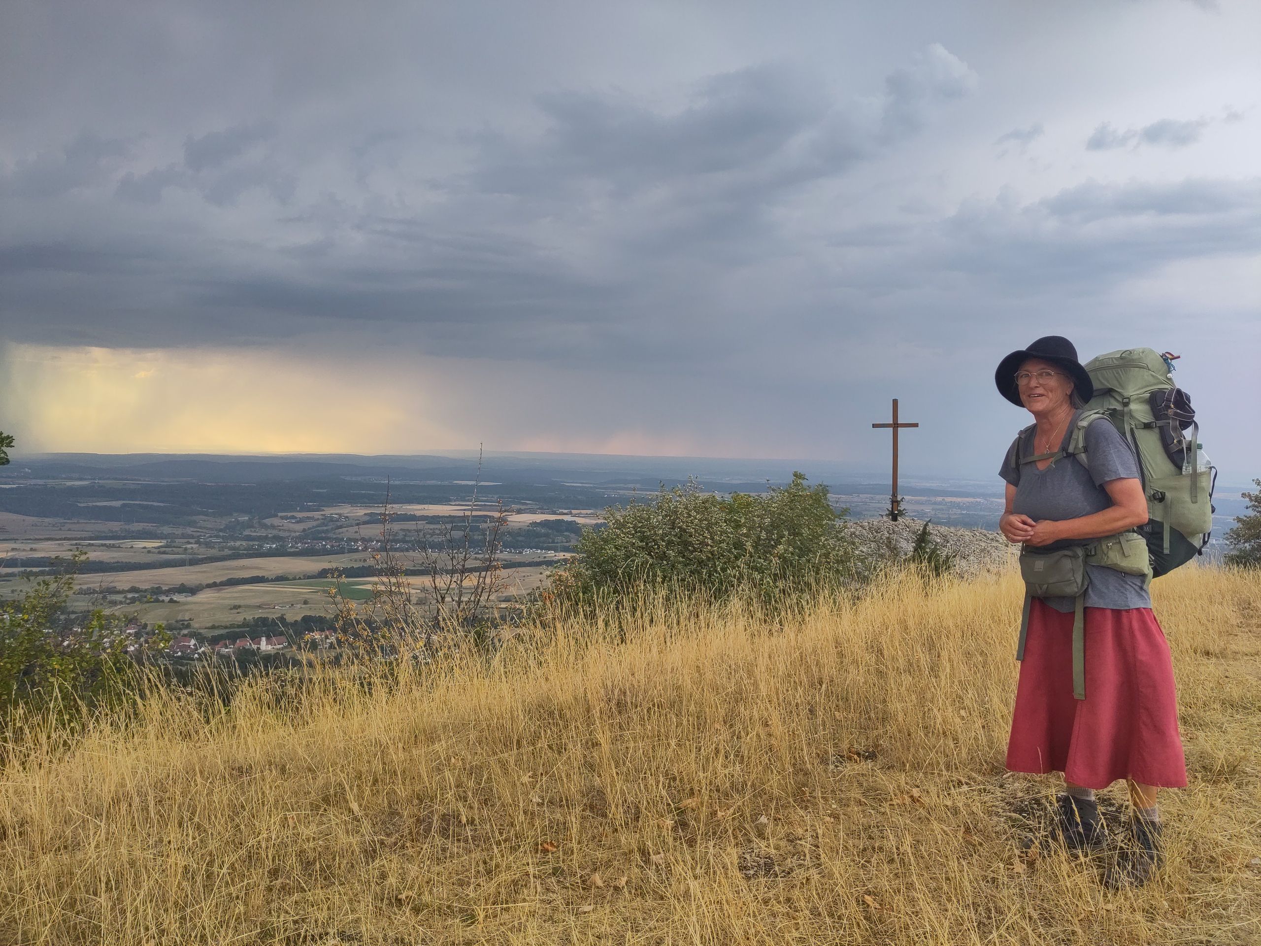
Now and then, thunderstorms brew up due to the heat. It may only rain very locally, but I often do not know whether I will stay dry. Dark clouds, distant and near rumblings, and strong winds arise - then dry leaves dance through the air, and I feel as if I need only hold up my skirt to collect them like in the fairy tale 'Sterntaler'... A few times I also get wet, but it never rains for long. Once I seek shelter in a hunter's hide, but the roof proves to be leaky and rain comes in from the open sides - afterward, roots and stones on the steep forest path are dangerously slippery. Just that evening, I fortunately pass the Nagurfreundehaus Bossler, which is open (a children's holiday camp spreads a cheerful mood and life) and I spontaneously stay: wash myself and my clothes, sleep dry, and after the rain enjoy the wide view into the land towards the three 'Kaiserberge' Hohenstaufen, Rechberg, and Stuifen...
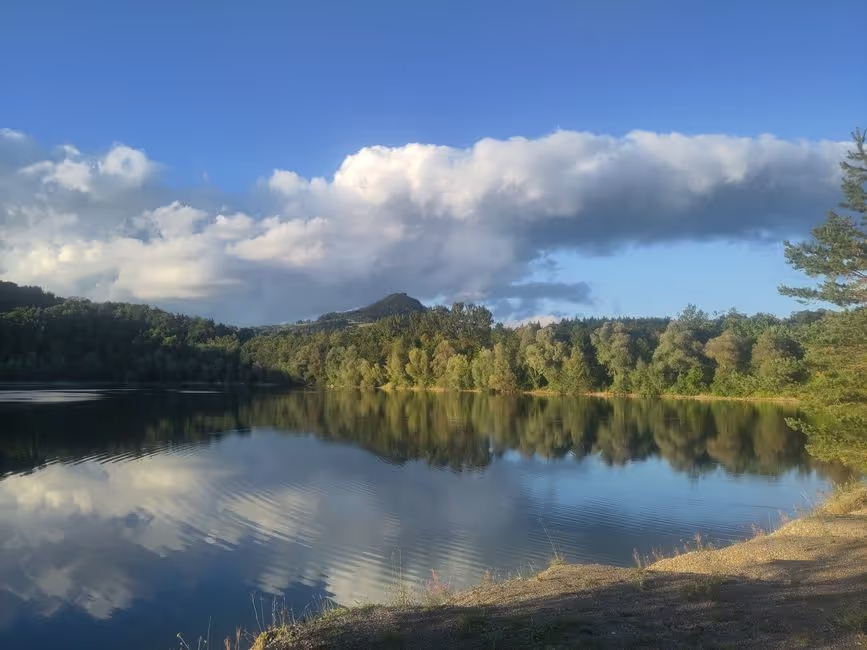
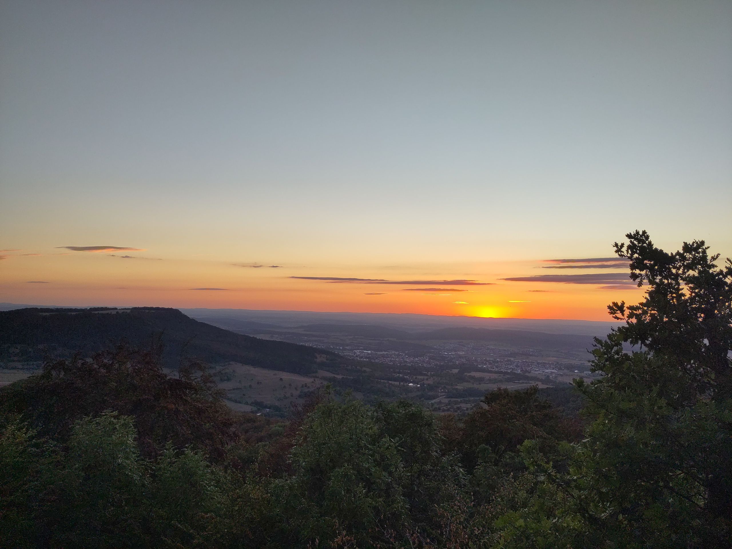
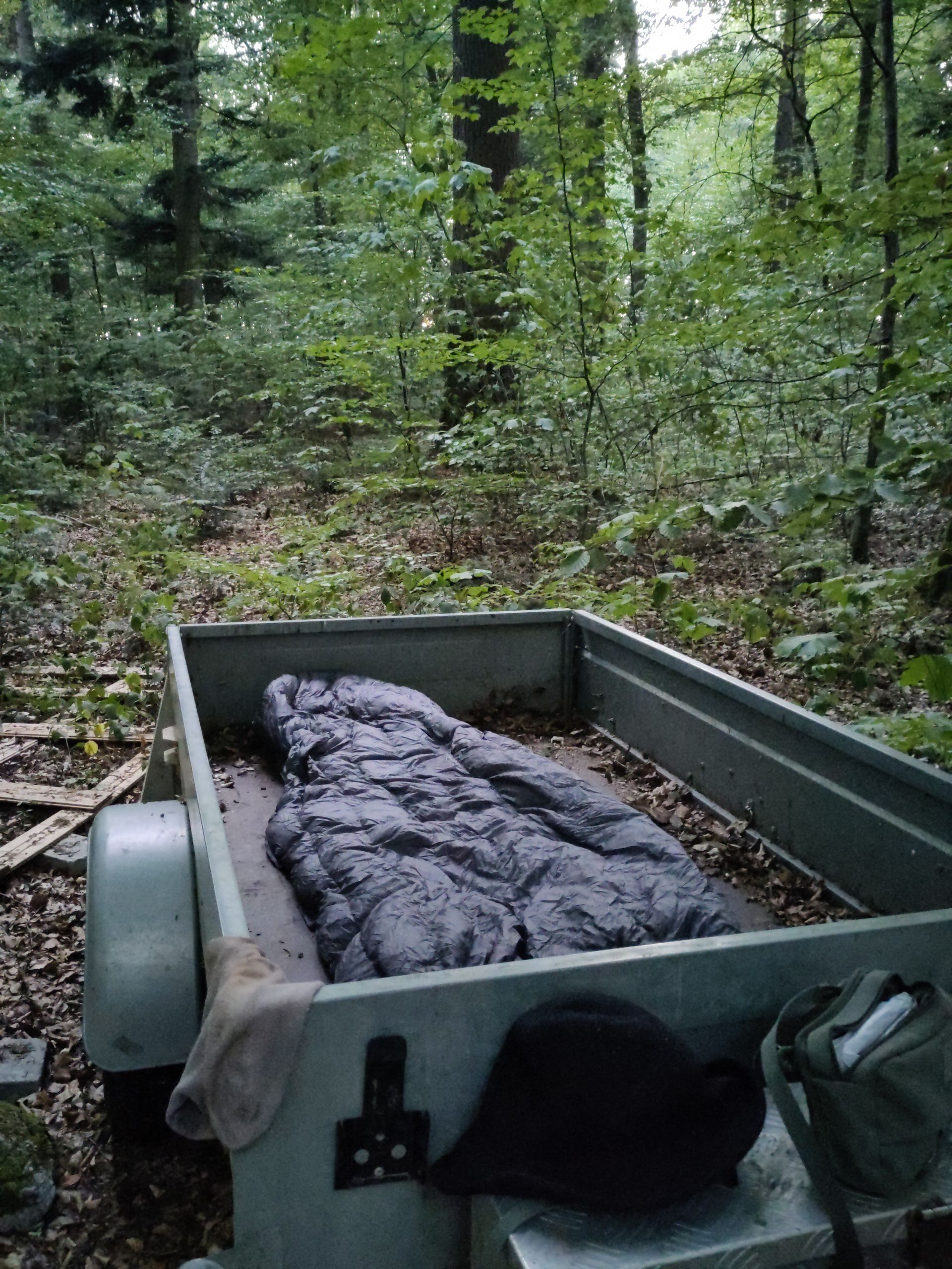
I find sleeping places easily: many shelters and resting areas line the HW1, often also at grill places, where however making fires is strictly prohibited everywhere due to dryness and the risk of forest fires. (One morning, I meet two 'official' workers who are renewing the prohibition sign and barrier at one of the grilling spots - and both are smoking away...) Besides, I also sleep simply outside under the open sky, enjoying the wonderful starry sky, given the largely dry weather. I recently saw the most beautiful, brightest, largest... shooting star I have ever seen. One night I sleep in a 'heavenly bed' in the forest in a trailer located near a forest hut: a flat, dry sleeping area, low 'protective walls' around my bed, trees and starry sky above me; in the morning I watch as the outermost, highest treetops and leaves turn golden in the first sunlight that gradually seeps into the surrounding forest. I go to sleep with the beginning of darkness and often get up before sunrise again, so hardly anyone notices me. I enjoy many beautiful sunsets from elevated viewing benches. In the first few days, they are often partially obscured by many clouds, but no less colorful for that. If it has rained briefly, the mists steam, and gradually the many lights in the valley or in the plain light up. Below the Alb edge, the communities nestle in the valleys or the cities, land areas, industrial zones, and roads spread out in the plain. One night I sleep at the Raichbergturm: at sunset, a young man comes up, takes pictures and films. The sun sinks colorfully behind the forest. The pointed towers of Hohenzollern Castle hide among the tops of the firs - I only discover them from this unfamiliar perspective after some time. Two days before, the silhouette of Hohenzollern Castle first appeared in the distance like a jagged crown. Then I saw the castle on its striking 'witness mountain' again and again, always closer and then again farther, from various perspectives.
As it is August, the breeding and breeding season is over, and the heat and dryness are causing difficulties for the birds (at least that’s what a friendly ornithologist explains to me when I ask), it is unusually quiet in the forest; even at dawn and dusk, there is hardly ever a bird to be heard - at most at noon the lonely cry of a raptor. So I often walk for hours in deep silence and complete solitude through open beech forests. On the wider paths, I encounter cyclists; otherwise, there are larger groups of people only where parking lots and special attractions come together - for example, at Lichtenstein Castle or Hohenstaufen Castle. However, I still have encounters on the solitary paths: at night, a fat toad comes close to my sleeping mat, I hear a fox (or a buck?) barking, someone rustling in the leaves... early in the morning I 'catch' many spider webs that were woven overnight over the narrow passages, during the day I encounter deer, hares, butterflies, dragonflies, tiny frogs (where do they still find moisture?), and above all, countless special tree beings. Often it seems incomprehensible to me how such genuinely powerful trees can thrive on this barren, rocky substrate that does not hold water! When a tree falls and is uprooted, one can see how the roots hold countless bright stones, with hardly any soil in between. Or the entire rock edge seems to be held only by tree roots. Occasionally, I walk - with a slightly uneasy feeling - on a 'overhanging' path: looking back sideways, the path is already undercut. On some exposed rocks, I feel a little uneasy when I step to the edge and look down. There are places where colorful paragliders let themselves be carried over the edge, then slowly gliding into the valley like large bright birds.
Many pleasant encounters arise because I often have to ask for water. There is none on the Alb high plateau, and in the mostly smaller communities through which the hiking path leads, there are often no stores, bakeries, or restaurants left, or surprisingly, many close for business vacations precisely now in August / September! So I get water from many helpful people along my way; and now and then even a cup of coffee... One morning, I pass by a gliding site where a table for more than 20 people is set under a sunshade in front of a club house with lots of colorful cups. I call out laughing to the two young men from the path 'where a lot of coffee is being brewed for so many cups, perhaps there is also a cup for a hiker, right?!' 'of course!' comes the cheerful response, 'come over, we have enough coffee!' Another time, I drink coffee with a complete stranger, whom I spoke to while she was gardening over the fence, on her pleasantly shady terrace, we eat cookies and talk long and animatedly. I love these unpredictable surprises at the roadside! It also happens that I walk by a small farm shop at just the right moment, such as at the St. Johann stud (part of the famous Marbach stud), where an older couple runs a small farm shop and café, open only on Saturday afternoons and Sundays for a few hours - I pass by on Saturday afternoons and enjoy delicious coffee and homemade cake, as well as a long animated conversation with the two operators. Of course, it is often the case that I am just not there during opening hours, which applies not only to farm shops and restaurants but also to churches or observation towers (like the narrow white tower at Teck Castle or the one on the Volkmarsberg, from where no views are possible through the surrounding forest without a tower...) In the very first days, I stand at the highest point of the Swabian Jura, the Lemberg (1020 m) + 30 m tower. From here, on clear days, one can probably see Mont Blanc - at about 300 km distance, that would be 'Germany's greatest sight'. However, at this time of year, I do not see the Alps or even the Stuttgart television tower from anywhere; even the heights of the Black Forest are only vaguely visible in the hazy distance.
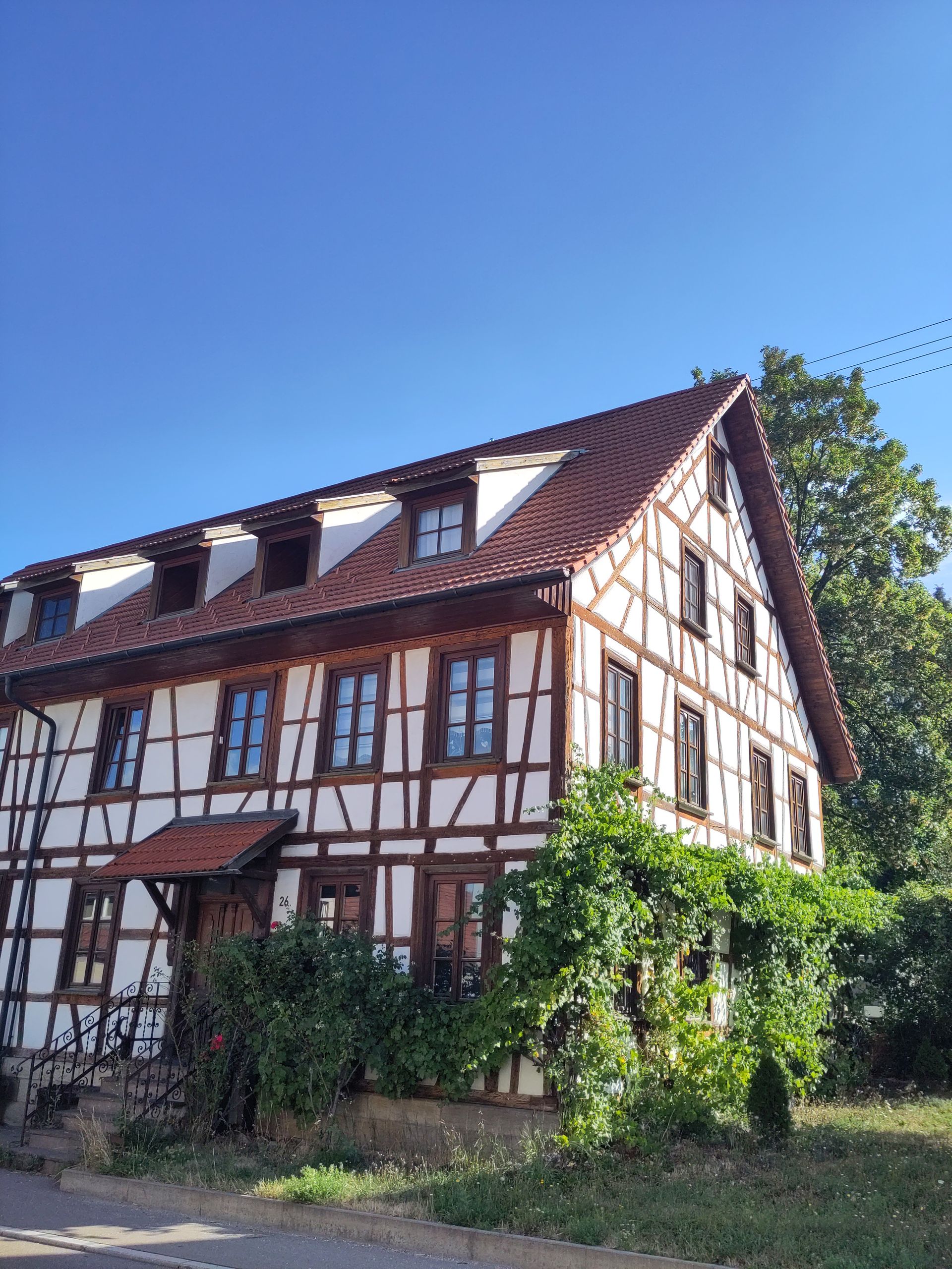
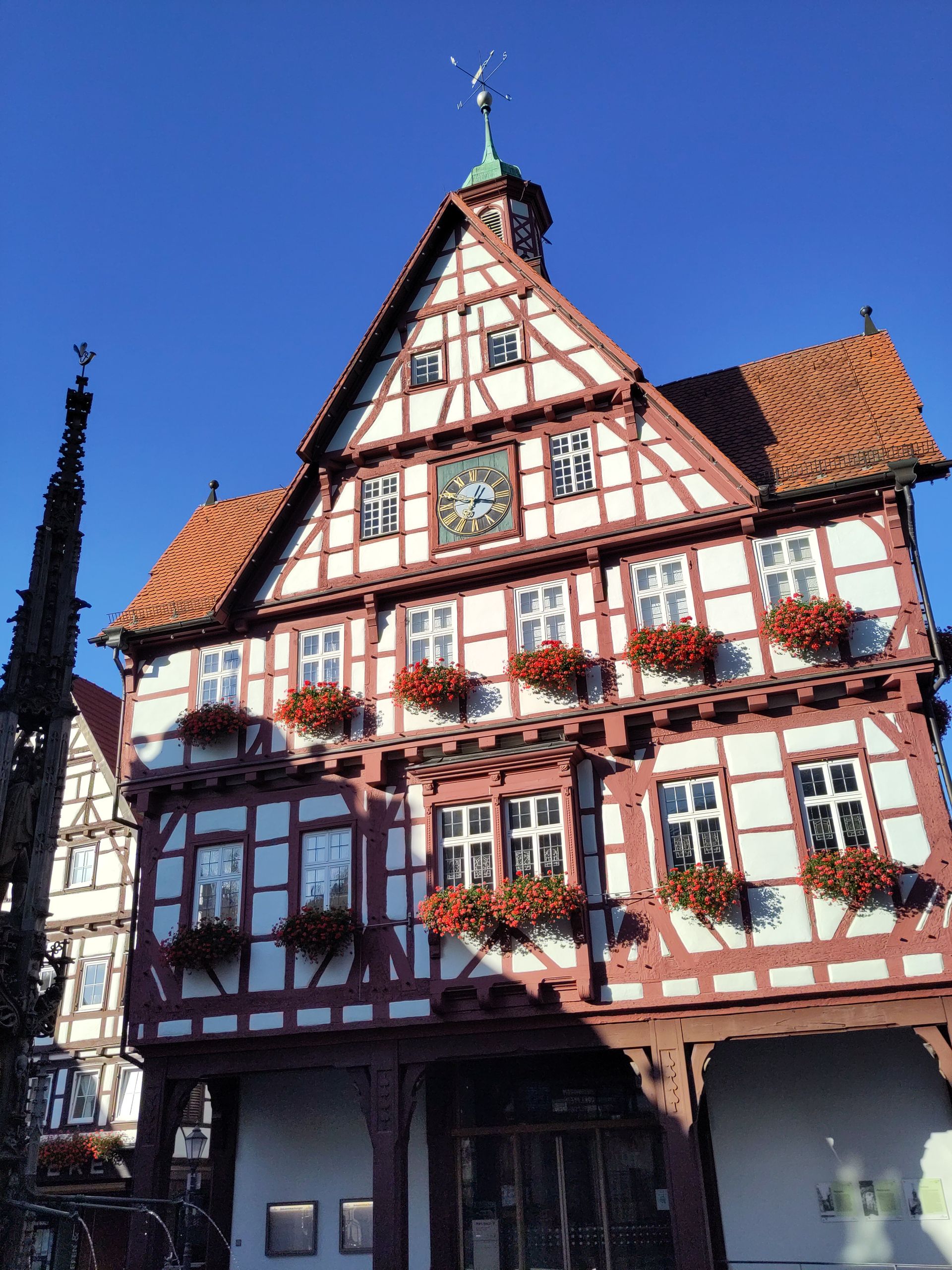
The HW1 is generally walked from Donauwörth to Tuttlingen. I meet a couple twice who are coming towards me, also with larger backpacks. Each time they say that I am the only HW1 hiker they have encountered, so there are probably hardly any hikers on this path in the current heat, which, besides lonely nature, also leads through historic half-timbered towns like Owen, Weißenstein, or Bad Urach. The associated famous waterfall is currently hardly a trickle and does not deserve the name waterfall. However, it is sufficient for a very refreshing footbath. At Nebelhöhle, I then descend deep underground: more than 140 steps lead down, and visitors can walk for over half a kilometer through a fairy tale world of stalactites and stalagmites - since nobody else is there at that time, I can even sing in the cave room at the end of the developed area: the acoustics are surprisingly good!
At Hohen Warte (821 m), there is a white tower built as a memorial for the 1500 members of the Swabian Jura Association (SAV) who fell in the First World War. Yesterday a large stone by the roadside was dedicated to a master forester from and to Prince (1855-19??), 'Co-founder of our hiking trails and of the SAV'). At Teck Castle, four coats of arms of the princely families of Zähringen, Teck, and Württemberg, who lived here over the centuries, decorate above the entrance portal and then in 1954 to the SAV... In Weißenstein and Lauterburg, there are over 100-year-old colorfully decorated signposts of the HW1. Such signs along the path repeatedly remind me that the hiking network that crisscrosses our country, and which seems so familiar to us, especially here in the south, as if it belongs to the landscape, is not that old, and that it has been laid out, maintained, and cared for by many people, mostly on a voluntary basis. The SAV was founded in 1888 and is still the largest German and European hiking association. I think it deserves a larger donation and I intend to make that a firm resolution. The HW1 is consistently very well and reliably marked with a red triangle.
A few days ago, I was able to welcome my beloved hiking companion at the train station in Gingen an der Fils - as expected with a proper delay from Deutsche Bahn... He has been accompanying me for about three weeks now, which is beautiful but also means quite an adjustment after many months and more than 3200 kilometers alone. First of all, the daily distances will shorten because it would be too much to ask to start at daily 25-30 km right away in this heat. Moreover, he actually brought a sleeping bag that is far too thin since it fortunately cools down at night on some heights (we even slept on the first night near a wind turbine testing facility - so a windy corner. So, three days ago, a trip by bus to the beautiful Staufer city of Schwäbisch Gmünd was essential to buy something warm... Last night, we found shelter in a forest kindergarten, whose nice wooden house is also made available to hikers... We have now arrived in Bopfingen and plan to continue hiking on the Franconian Way from Harburg (Swabia). Rowan trees and rose hips are already turning red, sloes are blue, elderberries black, and I already saw the first delicate pink autumn crocus: 'summer will soon be over'...