fantastic Franconian Switzerland
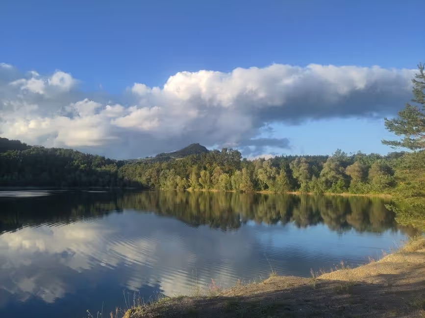
It’s now September - while I sit at the edge of the forest looking over Kulmbach and the powerful Plassenburg standing majestically on its hill, I have already put on everything I...

Published: 20.09.2026
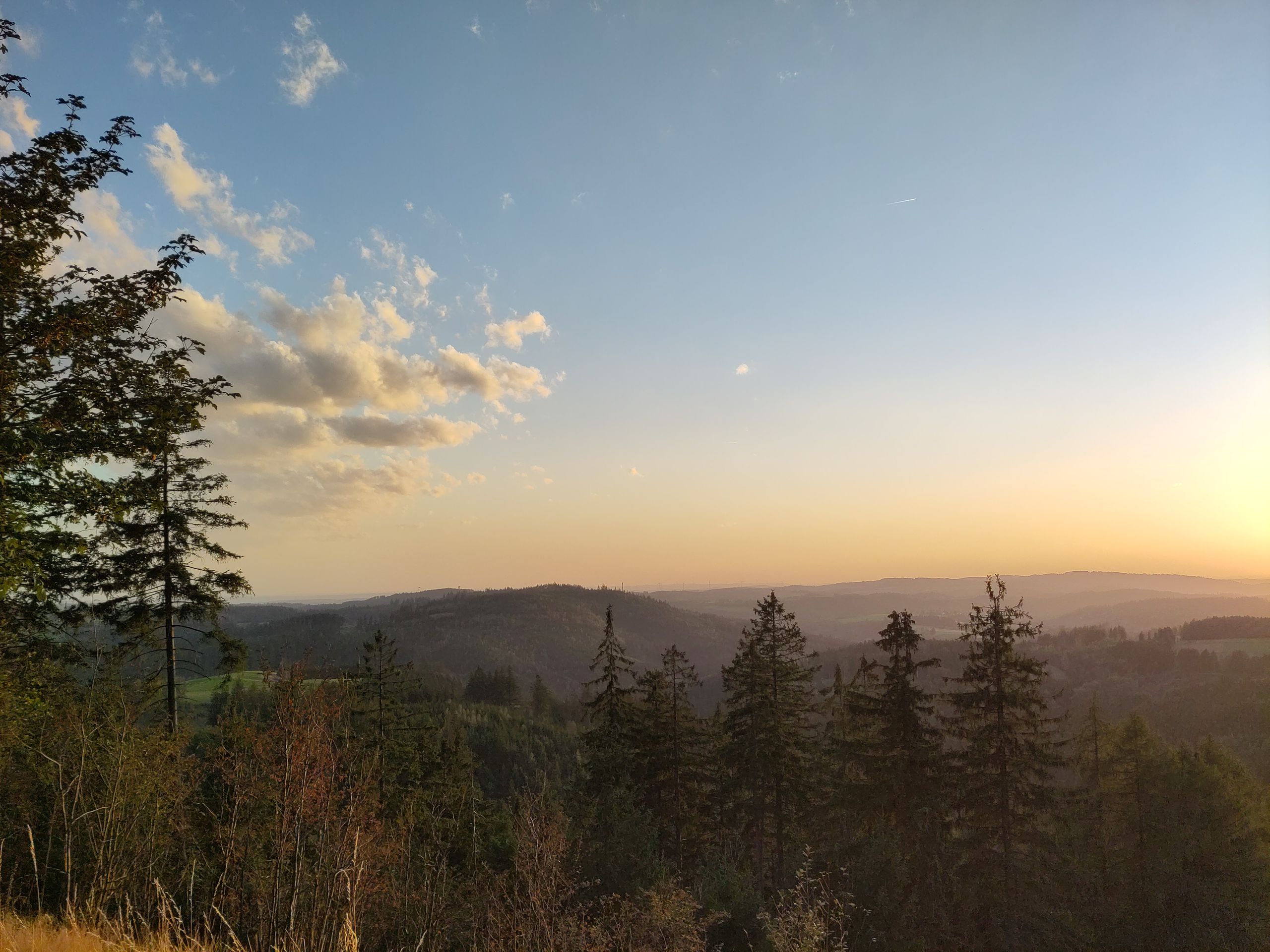
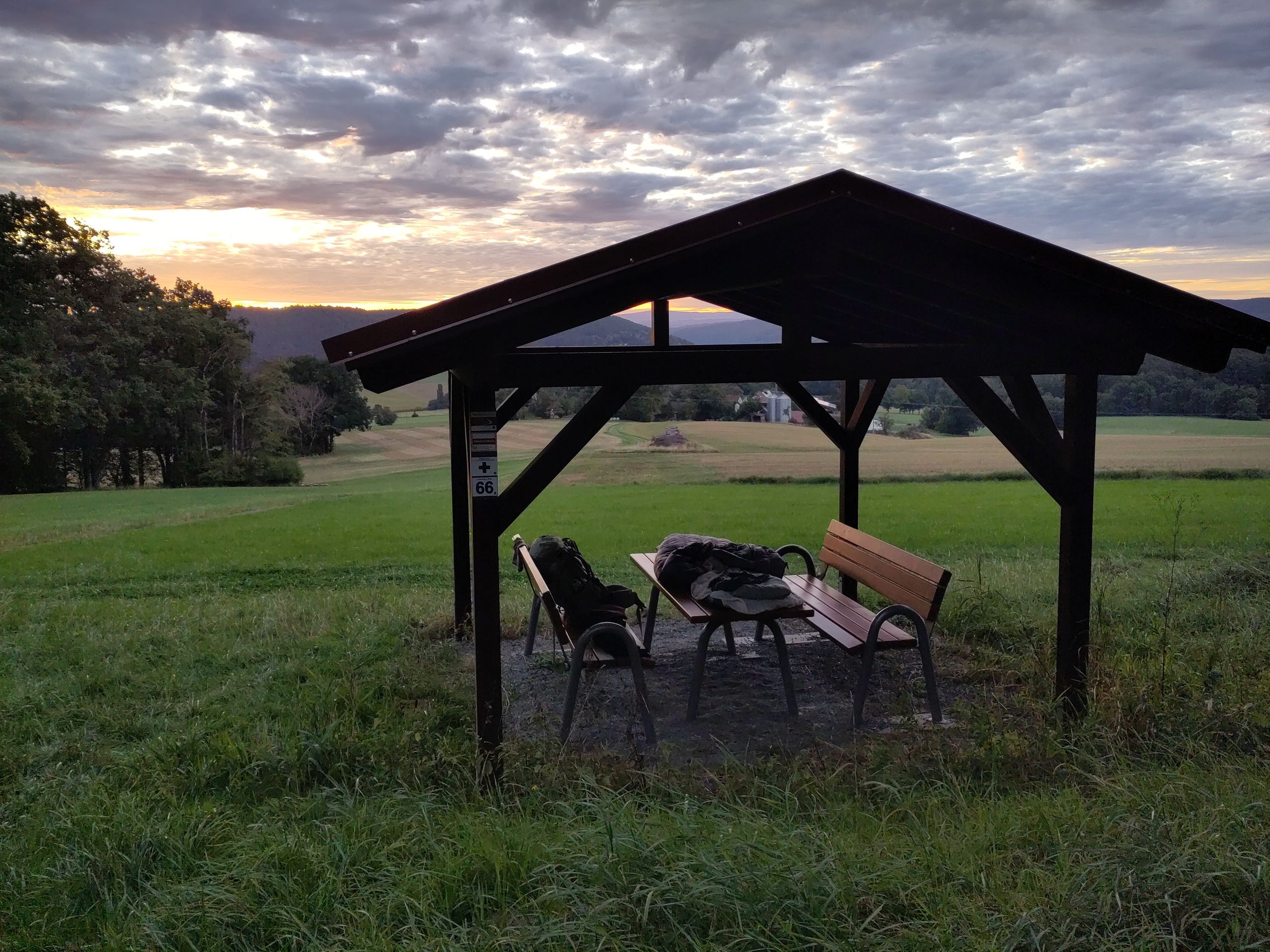
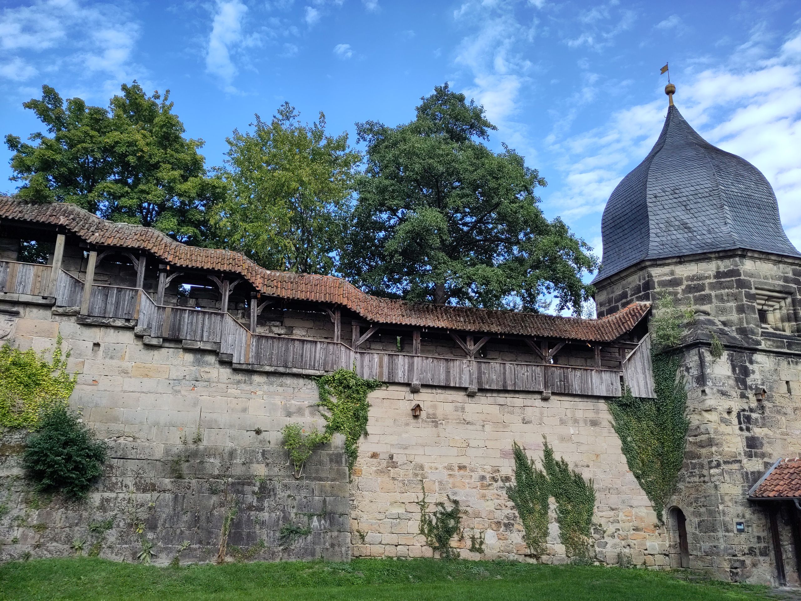
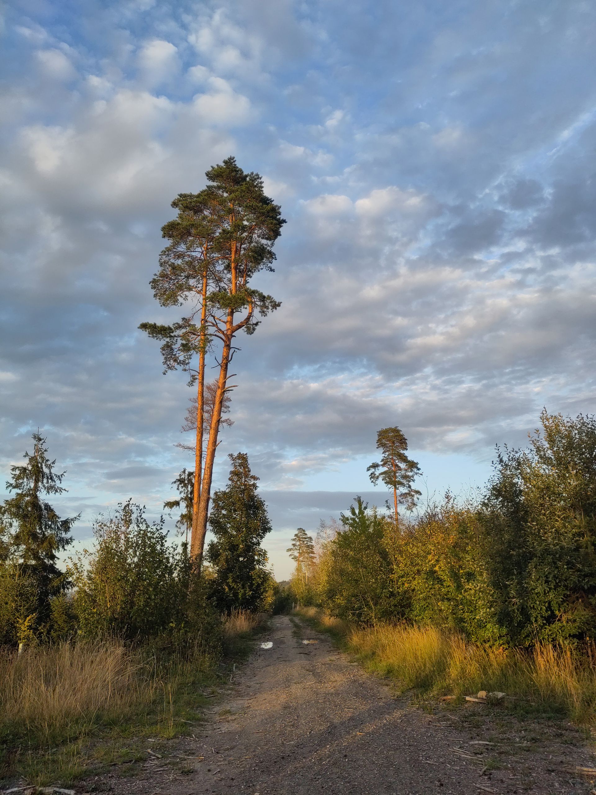
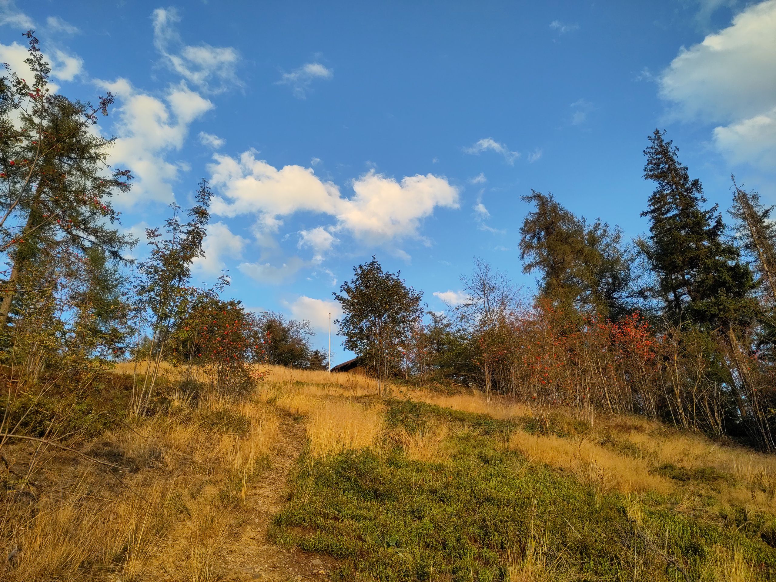
Just ten days passed since my view of Kulmbach before I boarded the train in Thuringia on Friday to embark on a Deutsche-Bahn adventure trip across the country due to a wedding, while also equipping myself to be more 'cold-resistant,' hoping to return to the small Thuringian station Gebra (Hainleite) by the latest the day after tomorrow evening, where I interrupted my hike...
Continuing my hike from Kulmbach, I initially reached Weißenbrunn, home to the famous 'Jungfernkättel' fountain: a stone female figure with a fish tail sits proudly between flower boxes, her breasts serving as water spouts. Unfortunately, like at almost every German fountain, a sign warns: 'No drinking water.' The figure, crafted from local sandstone, is the landmark of the place. According to legend, she was 'easy' and 'then went into the water.' 'To this day,' it is further claimed, 'for example, beer flows from the breasts of the maiden Kätti instead of water during the church consecration.' (I mention this because I hadn't yet stated that I naturally walked past countless ancient and traditional breweries in Franconian Bavaria.) Kronach is then the next 'fairy tale old town' after Kulmbach, where I encounter a touching, unusual 'Holy Family' in the church of St. John. Carved from light wood, a charming, delicately natural mother stands in a simple, flowing gown, cradling a sweet, naked child in her arms. Next to her, a notably youthful Joseph stands out, refreshingly not frail and bearded but rather a young craftsman with an apron, holding a large saw and a square. I quite like this carpenter Joseph! Over the town looms a star-shaped fortress: 'Rosenberg,' with massive walls and sturdy bastions - an older gentleman proudly explains to me that it 'was never conquered!' Surrounded by magnificent old oaks, one certainly has a good view of the rooftops of the old town from here. It is already around 6 PM when I continue walking in the drizzling rain and strong wind, passing by a large lime kiln in Dörfles and towering sediment walls (the steep bank of the Ur-Rodach). Meanwhile, the drizzle ceased, allowing me to enjoy the ridge path over the 'Hohe Wart' (468 m) on narrow trails, past weathered wayside crosses, in the softening, glorifying evening light. The view is now already far-reaching towards Thuringia; many spruces stand bare and dead on the surrounding forest slopes. Silver thistles shine along the path, complemented by golden dry grass and the reddish trunks of tall pines. It's just before eight when I cross the Rodach to Zeyern, but I stop under the bridge before reaching the town for the night. Someone has stored straw bales there, and I lay my sleeping pad out between these and graffiti-covered pillars, hoping that the federal road nearby doesn't have much traffic at night. This indeed turns out to be the case. However, around 2 AM, some teenagers come along, chattering and laughing, clearly intending to drink and 'celebrate' right there. When two girls shine a flashlight at me directly and I ask them to be a bit quieter, they sincerely apologize for disturbing me (presumably startled) and call out to the boys energetically, 'Departure,' after which everyone promptly and quietly disappears... Yet it is a very cold night, likely under 8°C, and quite windy, with the water close by... So I'm glad that the next morning, with only a few kilometers detour to the neighboring town of Marktrodach, I can warm up at a 'Rewe bakery' (though this is likely also responsible for the bakery in Zeyern, which is still marked on the map, no longer being in operation).
The Frankenweg once again runs 'over forest heights' and 'peaks' of around 700 m height: 'With a difference of 300 meters in elevation from the Losnitztal below, this is the largest height difference in the Frankenwald,' a sign at the 'Radspitze' announces, as my gaze sweeps far back into the Kronach basin, where even the prominent Staffelstein is clearly visible, and I can directly feel the 'largest height difference' in my legs... At noon, I happen to encounter just one large guided hiking group from Viking Tours; otherwise, I am - as is often the case - alone in the forest. At the ruins of 'Güldenstein,' a plaque indicates that we wrongly think of gold and splendor with this name today, as it referred to a clearing in the woods with a 'taxable' dwelling. Nearby, I encounter the field name 'Vogelherd' once again, a designation I have come across several times before. I read that it was once common in Germany to catch songbirds, and there were very precise regulations on who could catch and sell songbirds, when, how many, and which ones - it was not until 1888 that the first bird protection law was enacted in Germany, which gradually led to the decline of 'Vogelherde' as a concept, allowing only the field names to survive...
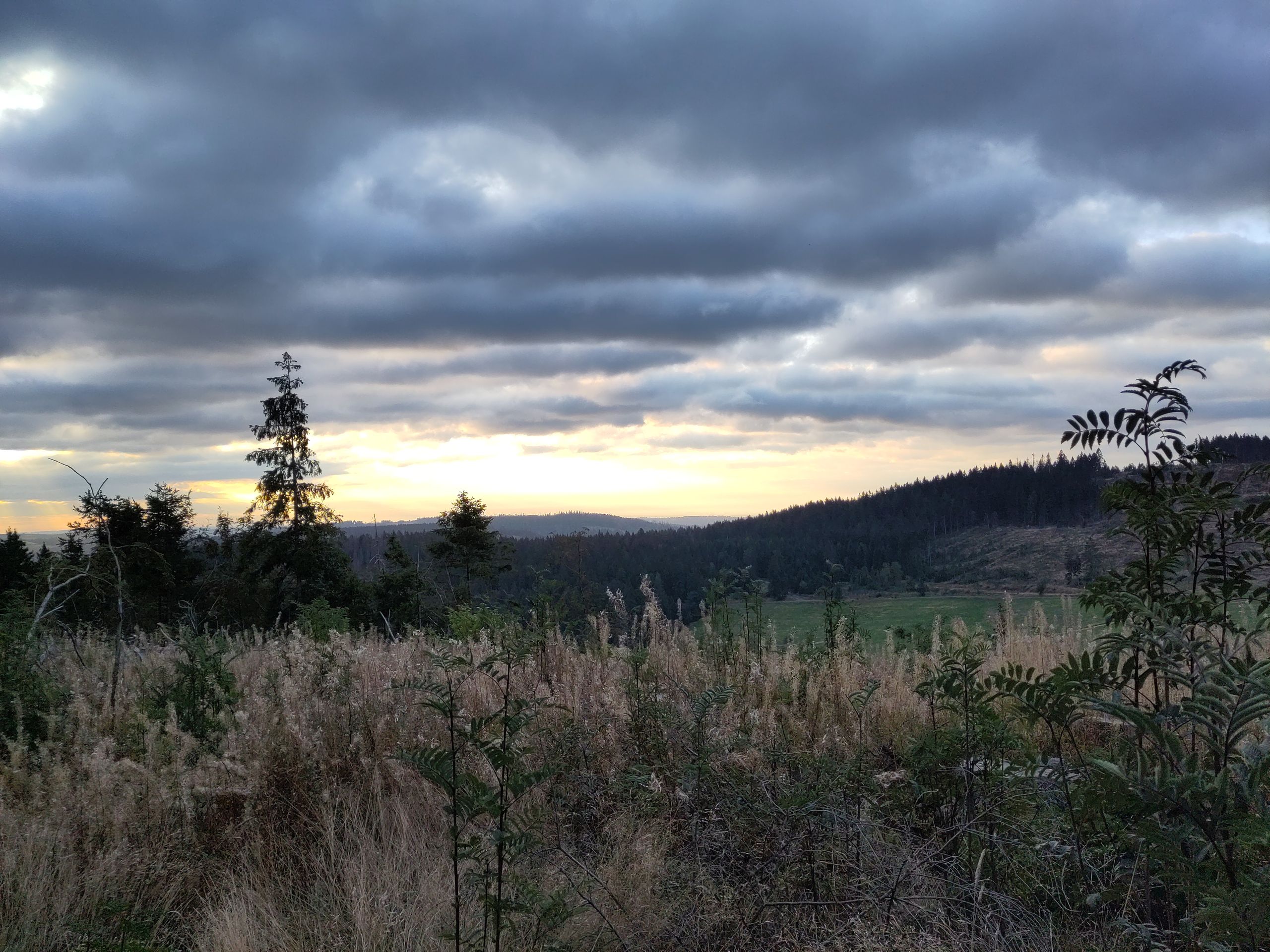
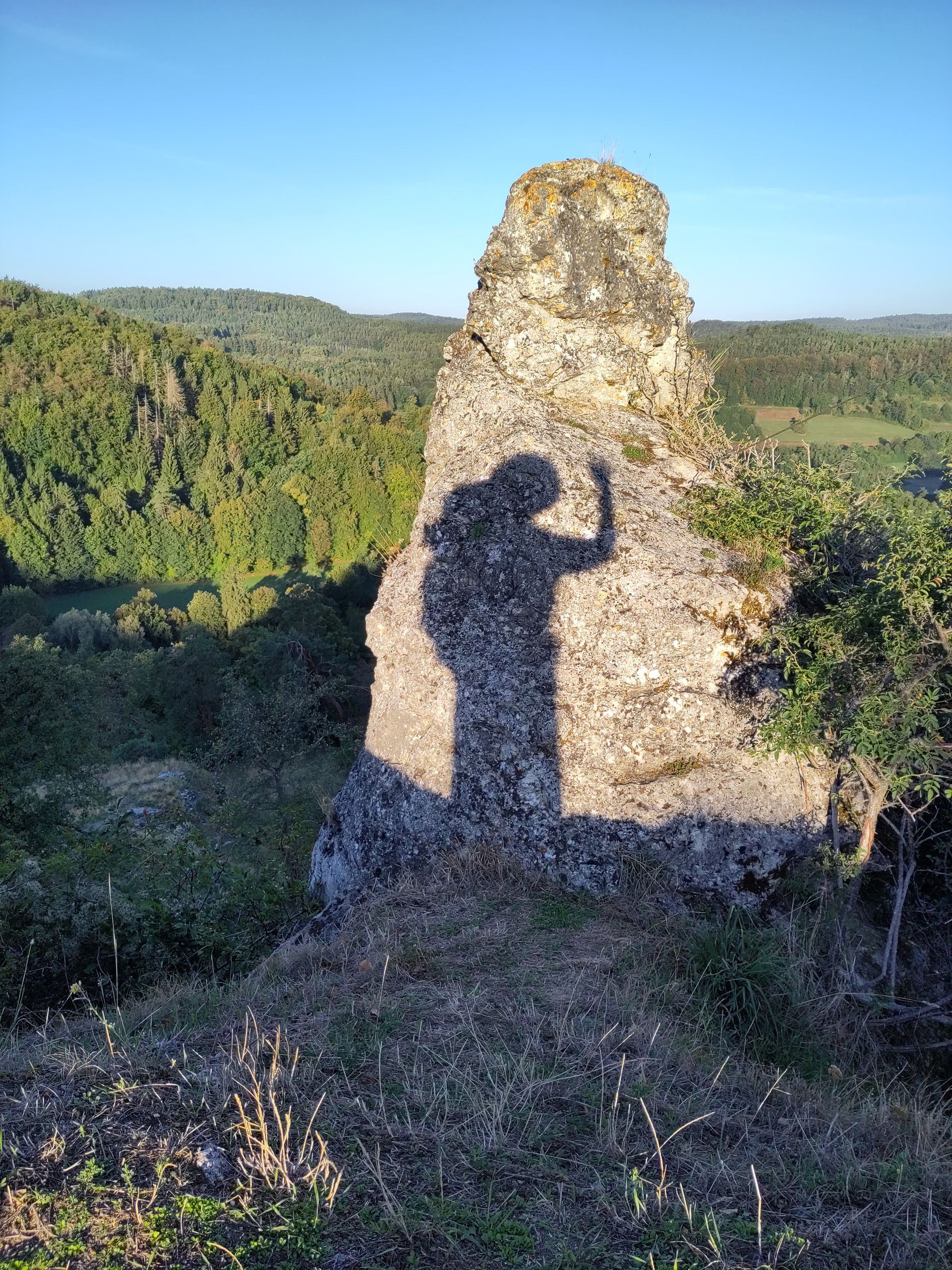
Through the valley of the wild Rodach, past old mills and through countless pink-blooming, foul-smelling Himalayan balsam, I repeatedly glance up at Döbraberg, and in the late evening light, I climb very steeply and sweated up towards Döbraberg. I still don't know that this was the last genuinely warm hiking day as I enjoy the view from the 'Bergwacht' hut into the wooded landscape, glowing intensely in the golden evening sunlight. At Döbraberg (the highest elevation in the Frankenwald at 794 m), stands the 18 m high Prince Luitpold Tower, built in 1902. As I arrive breathlessly at the top, the setting sun disappears behind dense clouds on the horizon. A lone cyclist greets me with the words 'you just missed the best part!' I sleep under the porch of a hut next to the tower; unfortunately, there is also a radar station right next to it and some kind of 'blower' or similar is housed in the hut, which buzzes and hums all night beside me. However, I am still grateful for the wind protection in the cold of the night.
The next day, I descend steeply and wet to Schwarzenbach am Wald, with the sunrise (hidden behind rain clouds), then hiked about 30 km past Naila to the former GDR border. The town names are mostly ending with '-grün.' I truly become aware of how close I am to the border when I sit down for a snack in Christusgrün next to a sign saying, 'Walking path about 20 min to the landing site of the escape balloon 1979' - I remember the exciting film 'Into the Wind to the West' well... Through spruce forests and along rocky cliffs and over rocky-staged 'climbing paths,' for example through the 'Hell Valley' above the Selbitz and past an old 'steam storage locomotive' at Lichtenberg station, I cross the former FRG-GDR border late in the afternoon on a small wooden bridge over the Selbitz at Untereichenstein / Blankenstein, today just a border between Bavaria and Thuringia. (...at least I thought: when a woman later asks me where I come from, and before I can really answer she remarks 'from the West, of course, you can tell!' - I am astonished, thinking that almost 30 years after reunification, this would no longer matter.)
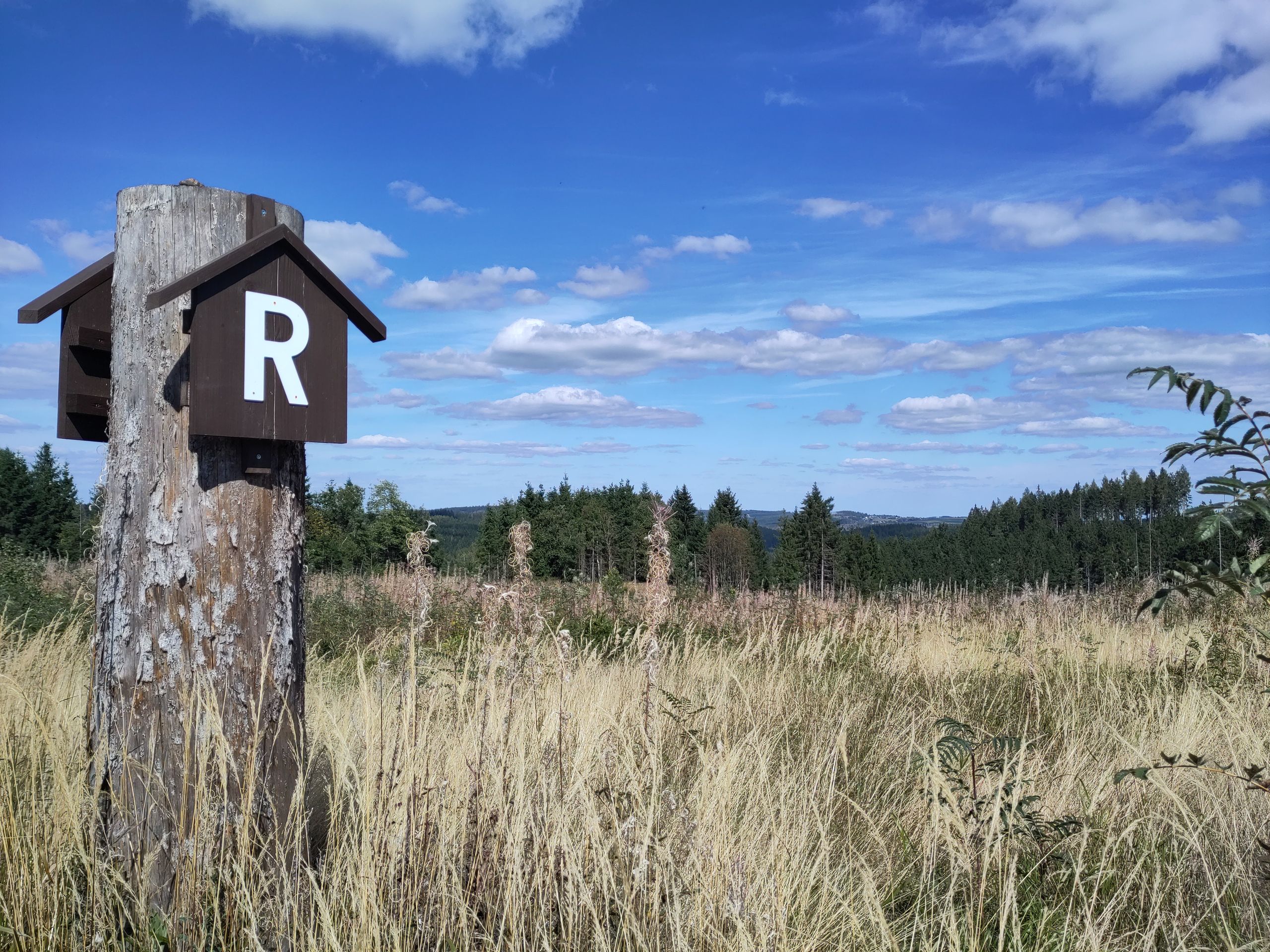
Quite spontaneously, I decide to continue along the famous 'Rennsteig,' even though it traverses the Thuringian Forest from east to west (up to Hörschel near Eisenach), thereby leading me less northward. The Rennsteig is Germany's oldest long-distance hiking trail, already established in the 19th century on an ancient 'Rennsteig,' a trade and courier route. Strangely, the associated greeting is 'Gut Runst!', with 'Runst' somehow meaning hiking. However, the times of the Rennsteig are said to be over, laments the innkeeper of a 'Baude' along the way: 'Not even large hiking groups come anymore like they used to in spring and autumn; it's all dying out!' The Rennsteig is unmistakably showing its age - here too, I am mostly hiking alone; I just encounter a larger group, all wearing the same light green shirts: when asked, they explain they are 'the hiking week from Erfurt.' Already in Blankenstein, there is not only the 'Rennsteig Park,' but also the 'Rennsteig Fountain,' the place near the 'Rennsteig Oaks,' etc. The white R can be spotted everywhere on tree trunks or small house-shaped wooden signs with roofs over them; it is laid out with cobblestones along the way or engraved into large boulders... As about 14 km of the Rennsteig run through Bavaria again, I also repeatedly encounter the former border zone, walking along column paths and can wholeheartedly agree with the memorial and gratitude stones 'hiking without borders!' as this is indeed my theme. 'Germany's oldest and most important courier and trade route between Werra and Saale became passable again after more than 40 years on April 28, 1990.' This and similar phrases are often seen.
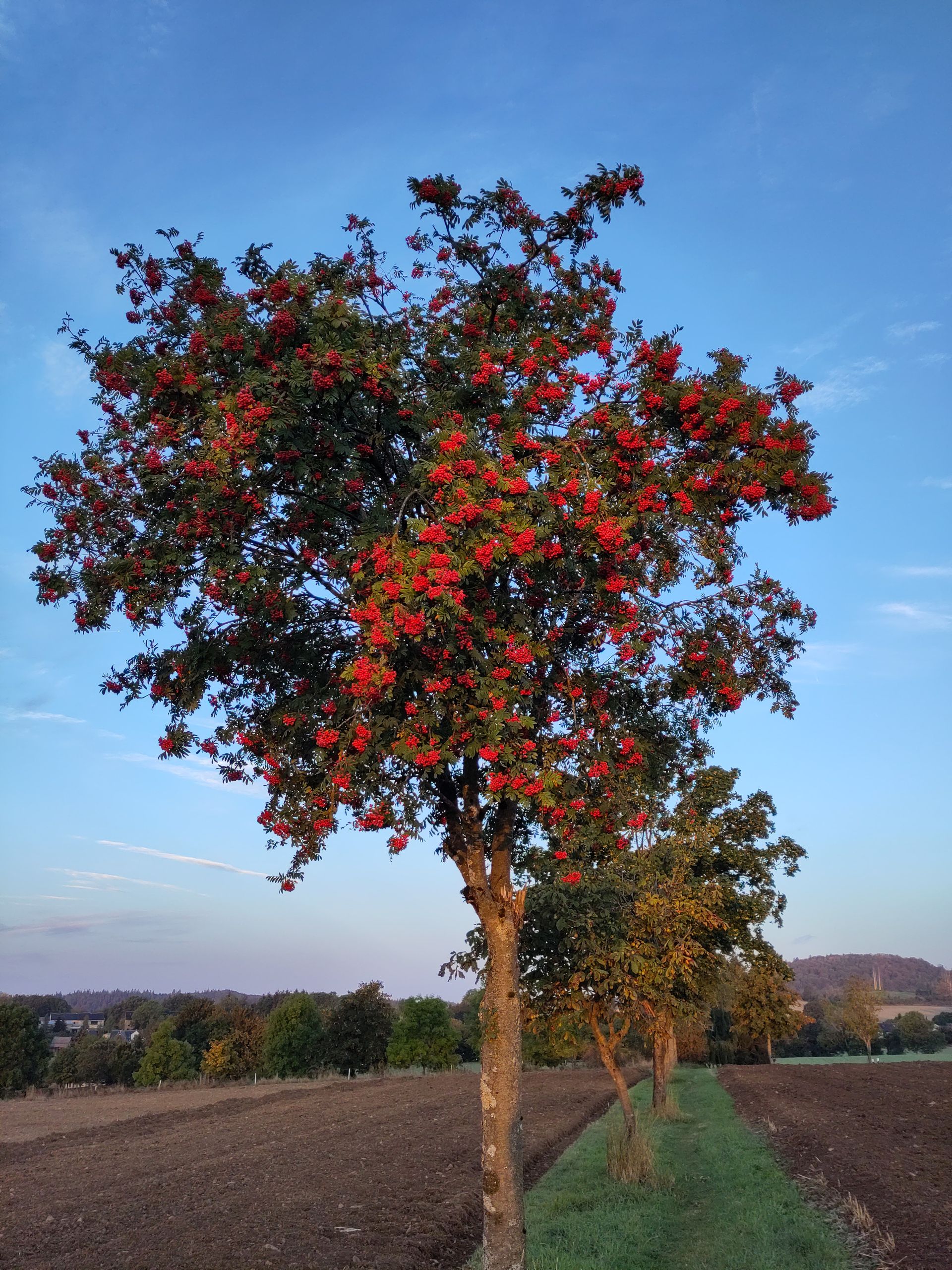
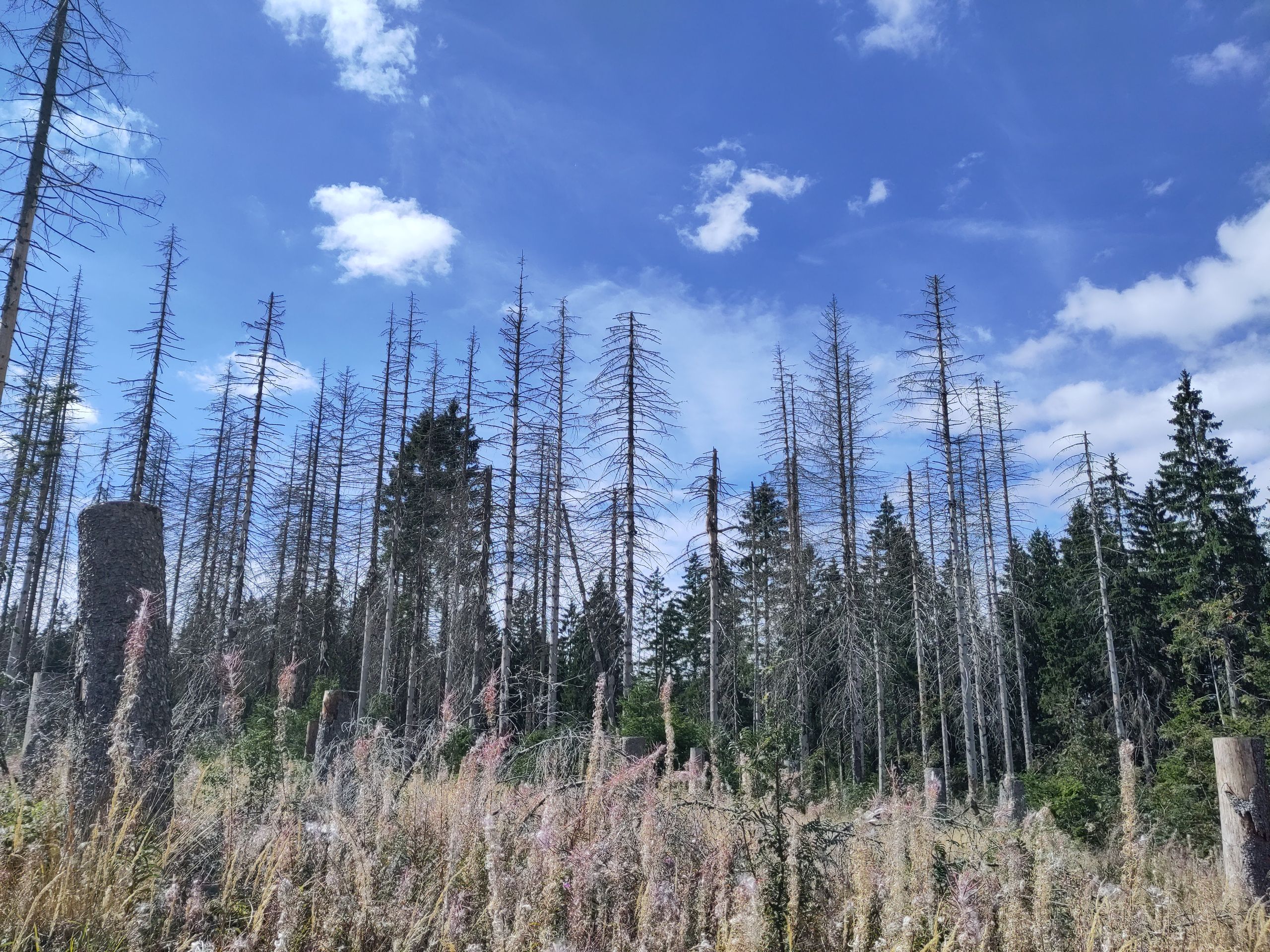
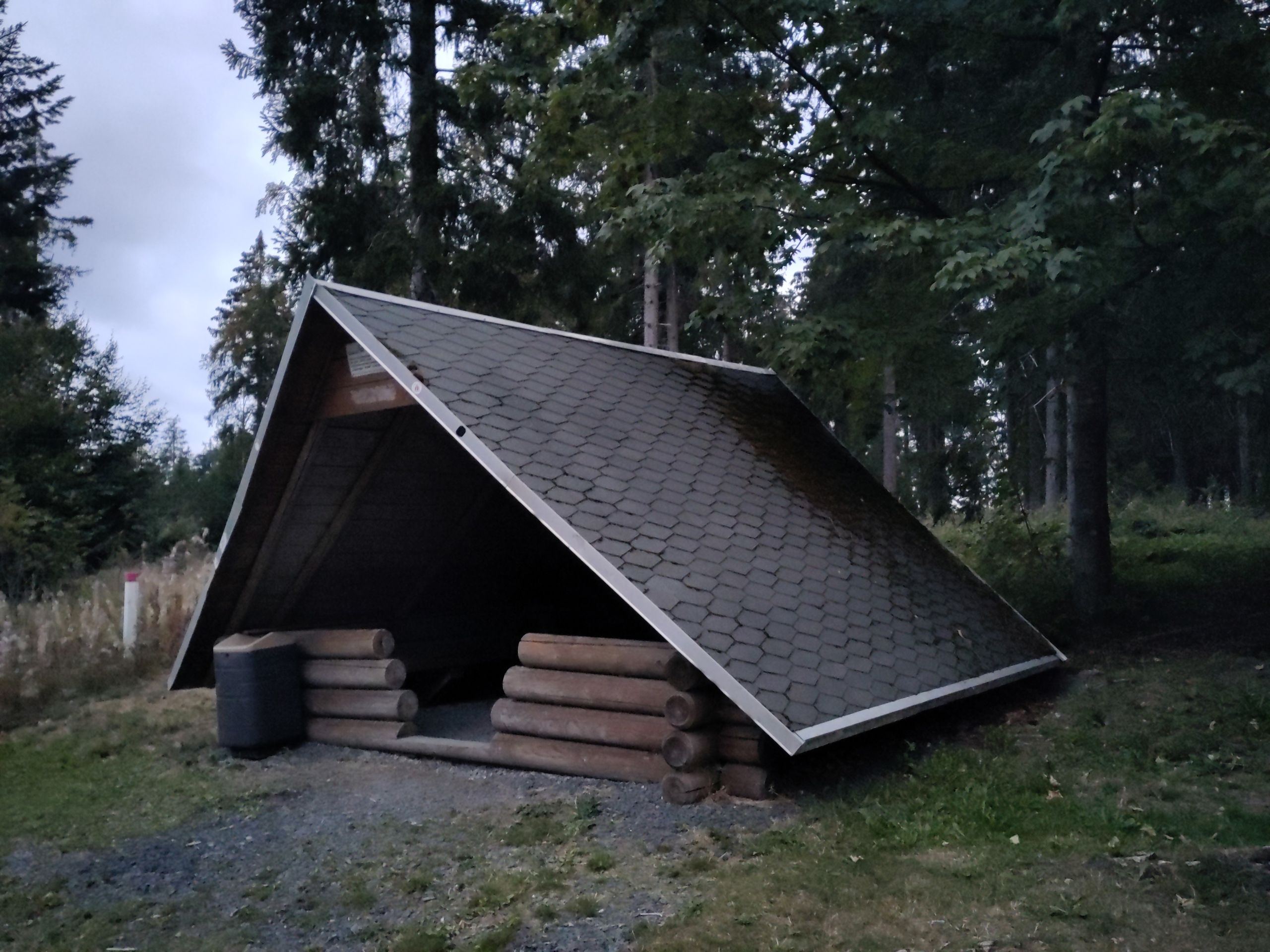
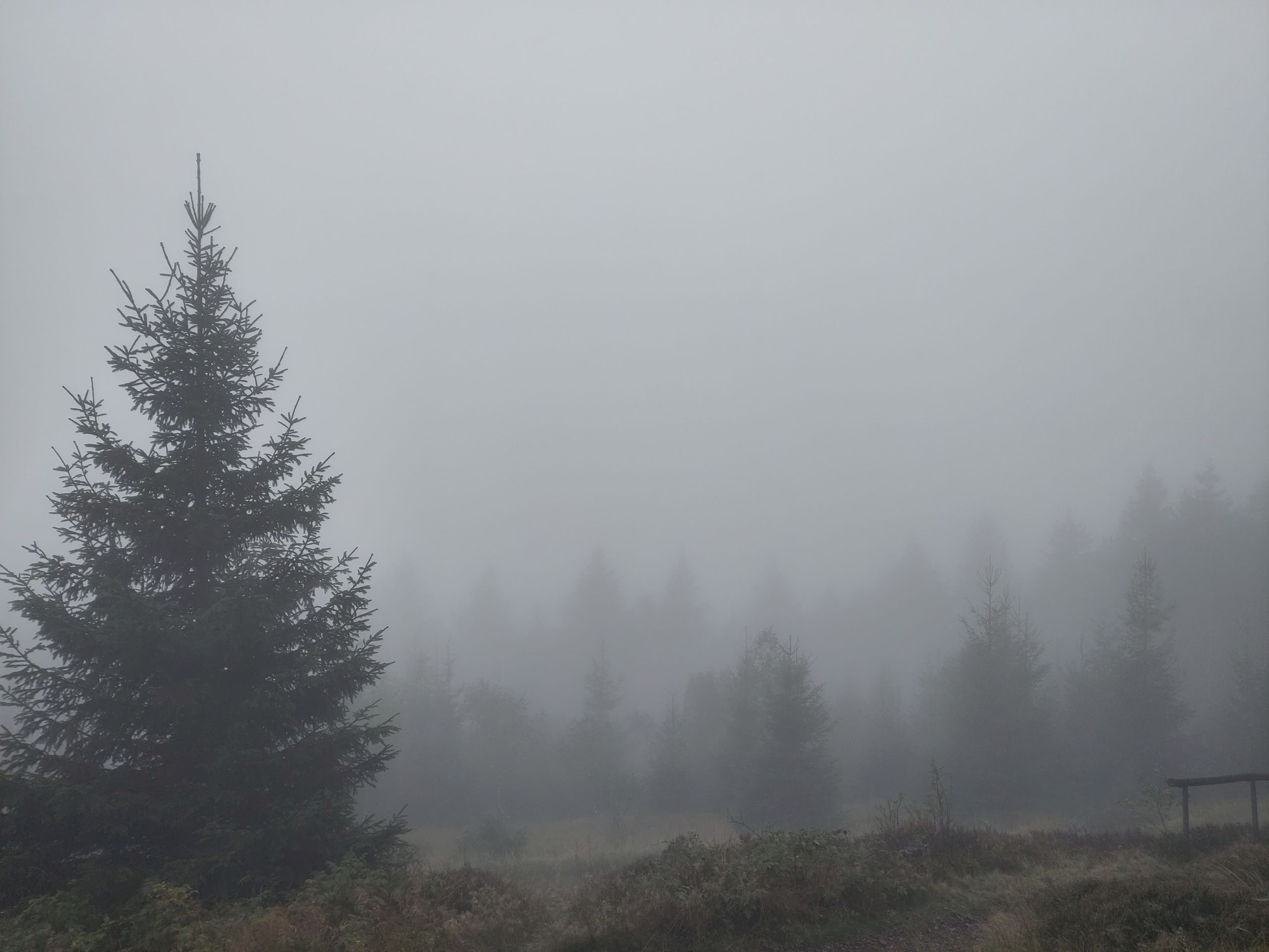
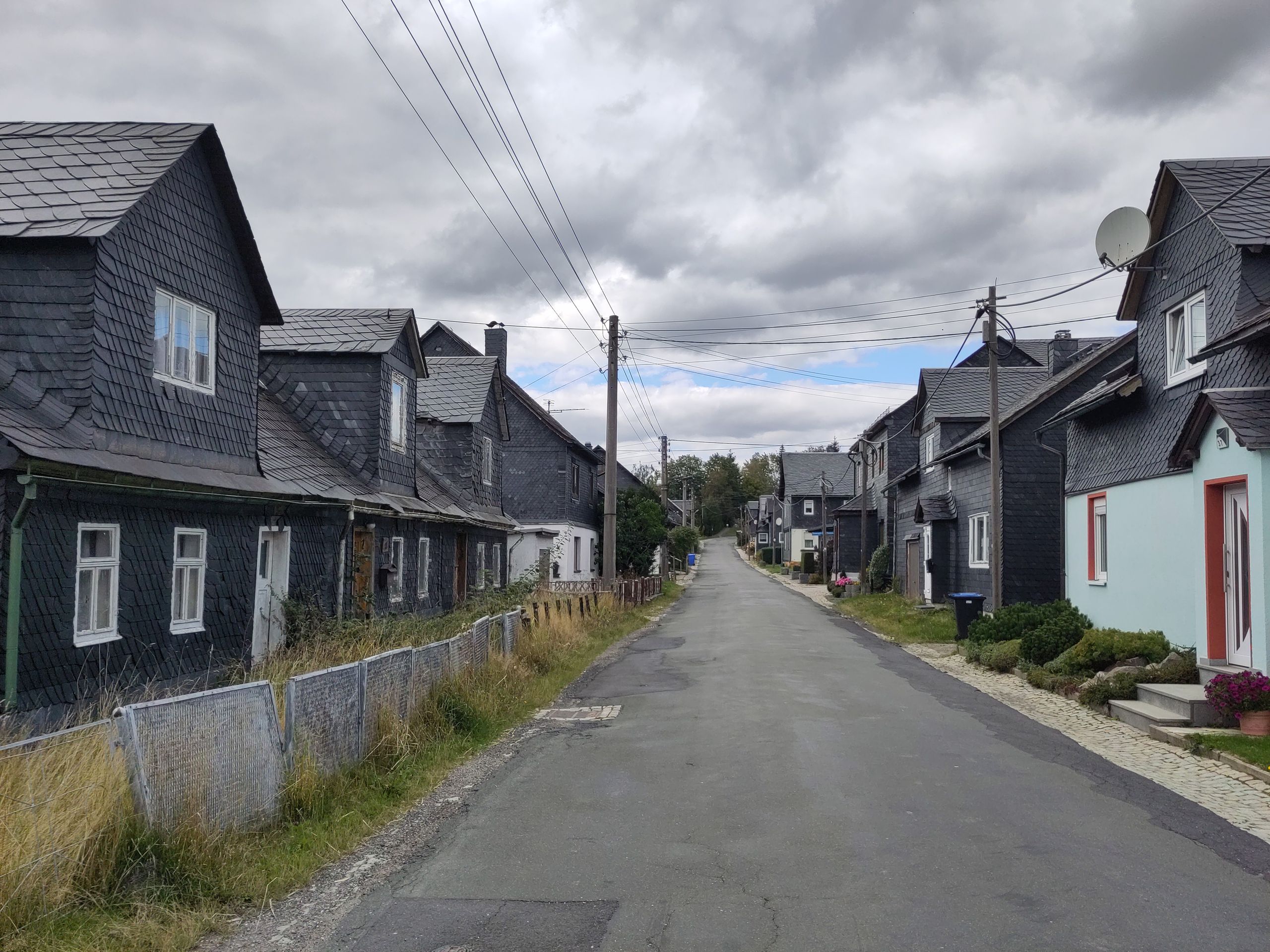
The Rennsteig leads me through extensive spruce forests; however, many spruces are no longer alive or have already been felled - I do not know why the logs were left standing 2-3 meters high in such cases, as it looks unusual. Furthermore, there are several wind farm installations, which are only at the start of their establishment but already represent so much destruction: many wide gravel paths that cut through the otherwise quiet forest areas and narrow hiking paths, wide swathes of devastation, heavy machinery, a lot of noise, gigantic round foundations... But beside that: autumn fog early over the Saale Valley, finally playful squirrels (which I had missed in the forests so far), ripe blueberries until my hands and lips turn blue, mushrooms in various colors (of course, the prettiest are once again poisonous...), many shelters and stands - since the weather is quite unstable, this is very welcome to me! - wide, cleared fields and open lands, the villages appear dark as the houses and churches are covered in slate, some adorned with red geraniums bringing some color. Slate is 'the blue gold of Thuringia' - in Spechtsbrunn, a giant slate factory is still visible; also, chalk and slate tablets historically came from this region. Besides this, there are quarries with high kaolin content in the sandstone (for example, around Sandberg, 834 m), so that (for example, in Steinheid) porcelain production was invented and has an old tradition, as does glassblowing: to this day, Christmas baubles continue to come from the Thuringian Forest. Since it is a 'ridge path,' the up and down is largely avoided; however, it is often so foggy or rainy that it is not always worth climbing to an observation tower. The churches are closed, as are most of the inns (which often leads to truly exciting conversations during private coffee or tea invitations); even the Rennsteig Museum in Neustadt am Rennsteig or the nature park center 'Thuringian Slate Mountains / Upper Saale' in Friedrichshöhe, among others, are closed despite the weekend. I also meet the watershed of the Rhine/Elbe along the Rennsteig - for my sense of life, this point marks the transition from southern to northern Germany. I am somewhat surprised by a large memorial (eerily still in DDR style) erected 'in honor of thousands of forest workers, volunteers, and Soviet soldiers who saved the central Thuringian Forest after the windbreak of 1946 and the bark beetle years of 1947-49: 4.7 million solid cubic meters of damaged timber had to be processed in the shortest time under the most difficult conditions, and 21,000 hectares of clear-cut areas had to be reforested.' - So this is nothing fundamentally new... Nowadays, (as far as I can recognize with the various protective layers), various deciduous trees are being replanted, no longer spruce. Meanwhile, the innkeeper of the 'Gasthaus zum Rennsteig' (the names are really very imaginative here!) vehemently explains that 'they' will soon plant 'their bread tree, the spruce,' from where else should the money come?! 'From those few strange rowans, perhaps? Or from oaks that will only be ready for felling in 200 years?!'
Everything here refers to the Rennsteig: the 'highest point of the Rennsteig at 838 m height' (on a sign, it is truly stated that the exact length of this path is 169 km, 293 m, and 77 cm!), or 'Welcome to the Suhler Hut, at 924.6(!) m the highest inn on the Rennsteig,' and at 'Großer Beerberg,' finally, 'the Rennsteig reaches its highest point at the highest mountain of the Thuringian Forest at 973 m' - when I leave the Rennsteig about 45 km before it ends in a northern direction at the 'Alten Ausspanne' in the forest, I honestly have had enough of all this Rennsteig romance...
That I have left the ridge path is immediately clear not only by the lack of the R but especially due to the steep descent into the valley of the Spitter. Soon, the forest path is closed: 'Tree felling, life danger, absolute prohibition...' - what now? It is lunchtime, and nothing is heard, no sound. I do not want to turn back, so I cautiously proceed with a bit of a guilty conscience - the path is a total mudslide, as heavy forest machines have traversed and destroyed it in a wet condition, unmistakably the smell of moist fresh resin and wood, scattered branches and sawdust, fresh tree stumps and new log piles, but no machines anymore, no workers, nothing. When I turn onto a wide, gravel road, I still expect trouble should I encounter a forestry worker - instead, a dog walker soon approaches me... I am annoyed that once again there was sloppiness in handling the prohibition barriers: evidently, either no barrier was placed here in the valley, or - more likely - it was removed after the felling works, while 'up in the forest' the barrier simply remains. Not good! And above all, such experiences do not encourage one to take similar instructions seriously and to abide by them... which would indeed be necessary if there were actual danger. Like oversized Mikado sticks, uprooted spruces lie scattered in the picturesque Rotebachtal, while magnificent beeches and oaks offer a welcome contrast after all the coniferous forest. Over Friedrichroda (high above the venerable place, a conspicuous white block structure looms on a wooded ridge, ugly and dominant, not a clinic, for instance, but 'Berghotel Ahorn,' as large billboards explain), Schnepfenthal (wonderful starry night on a picnic table at the edge of the forest!), the A4, and small hamlets like Aspach or Sonneborn, I hike towards Hörselberg-Hainich. It's wide and open land; small country lanes, at one point the large snow-white domes of a biogas plant stand like temples, the prefabricated buildings, a bit more colorful than in DDR times but still recognizable as such; if I get too absorbed, I'm startled as deer leap up and run away right next to me; at one point, an older gentleman gifts me a banknote: he is also 'an old hiker' and has 'been everywhere,' now he can no longer do it for health reasons, but he finds what I am doing amazing and would like to 'support me a bit' - I am joyfully surprised and simultaneously wonder how 'disheveled' I must look by now if a stranger thinks he needs to give me money?..
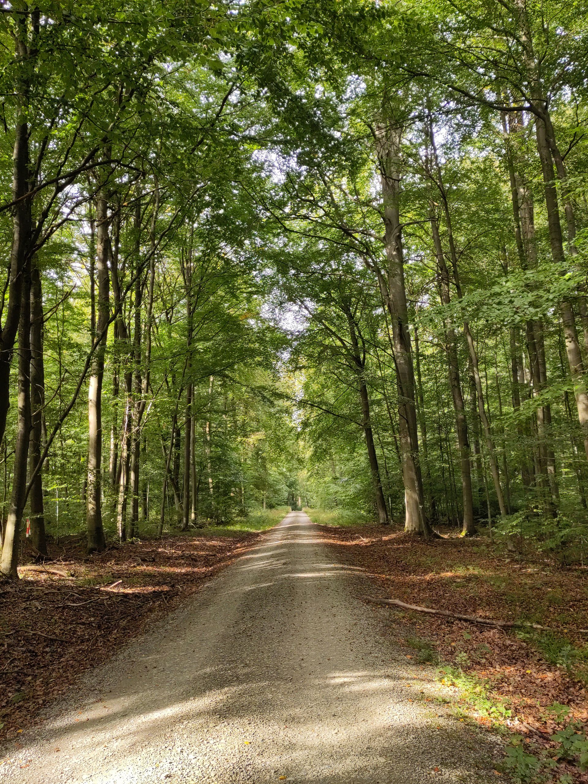
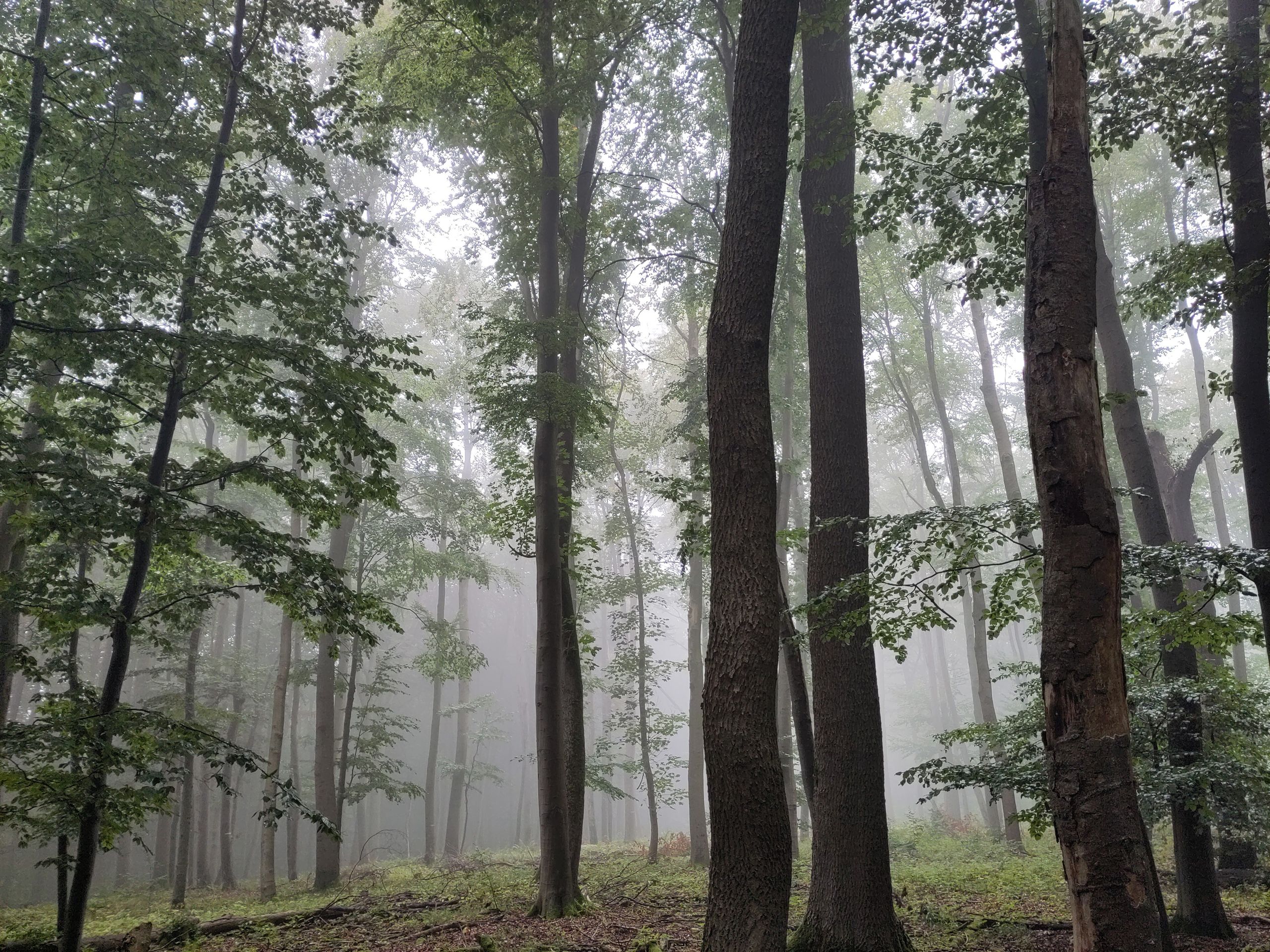
In Hörselberg, the Rennstieg begins now (and it really states expressly: 'not to be confused with the Rennsteig!'), the ridge path of Hainich. I am drawn to the national park with its UNESCO world heritage beech forest. The Hainich is 'Germany's largest contiguous deciduous forest area,' whose southern part was a military restricted area during DDR times, 'in whose protection' (red) beech forests developed - since 1997, this part of the Hainich has been a national park. Total silence prevails here in the forest; a tawny owl flies closely over the path in front of me, many uprooted, mossy trees, wild boar digging traces along the path. Right at the national park boundary, I spend the night comfortably and sheltered under the 'intermediate roof area' of a 'Baude' and its toilets and the next morning wander into the core zone before sunrise: 'Primeval forest in the middle of Germany,' as it says on one sign; on other signs, one is repeatedly warned not to leave the path, as there is 'danger from unexploded ordnance' in the former military zone... The morning atmosphere is unusual and almost a bit eerie - rain is on its way, the sun doesn't seem to break through the clouds, the stillness and the dense foliage of the forest... - when the rain begins, I am fortunately near the 'around thousand-year-old Betteleiche' at a shelter, built on the basement remnants of a former manorial hunting lodge. Here I wait for the rain to pass, and when a ranger arrives to check things, an engaging conversation unfolds about the forest and its history. 'Respect,' he casually remarks to me, 'not everyone goes alone early in the morning into an area where wolves are settling again' - well, good that I didn’t even know that... Overall, I am left almost a bit disappointed, I had imagined (and with imaginations, there is always a bit of a problem...), finding beeches here like on Rügen (Jasmund) for instance, or as I came across them in Romania, with ancient, column-like, thick trunks; here, the beeches are still young, and it is more about wilderness, the non-intervention in the beech forest rather than ancient venerable tree populations.
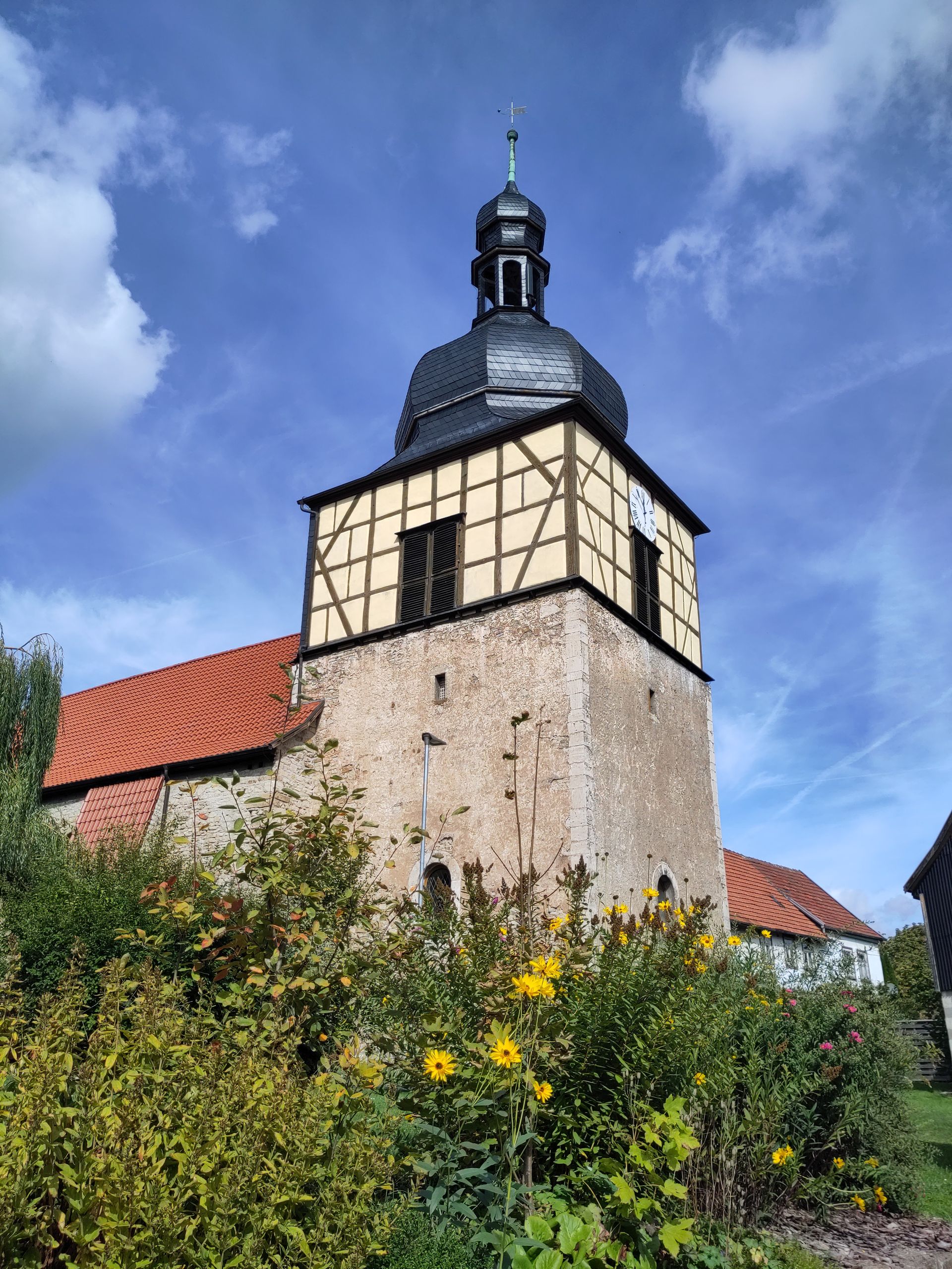
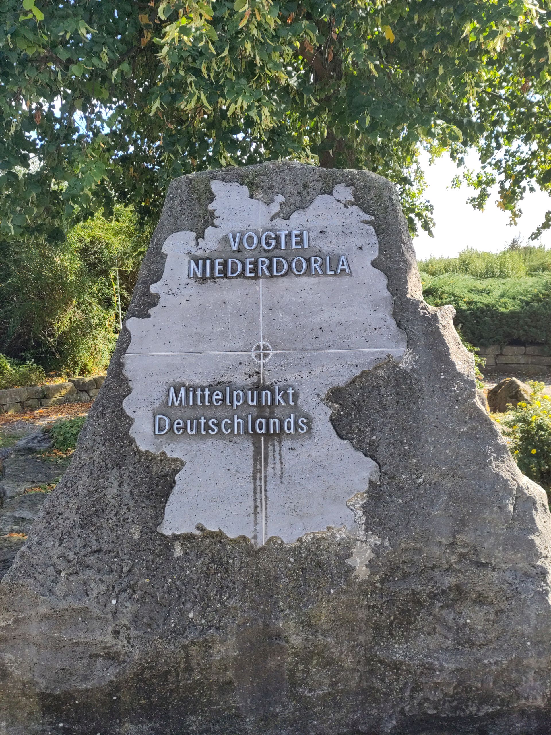
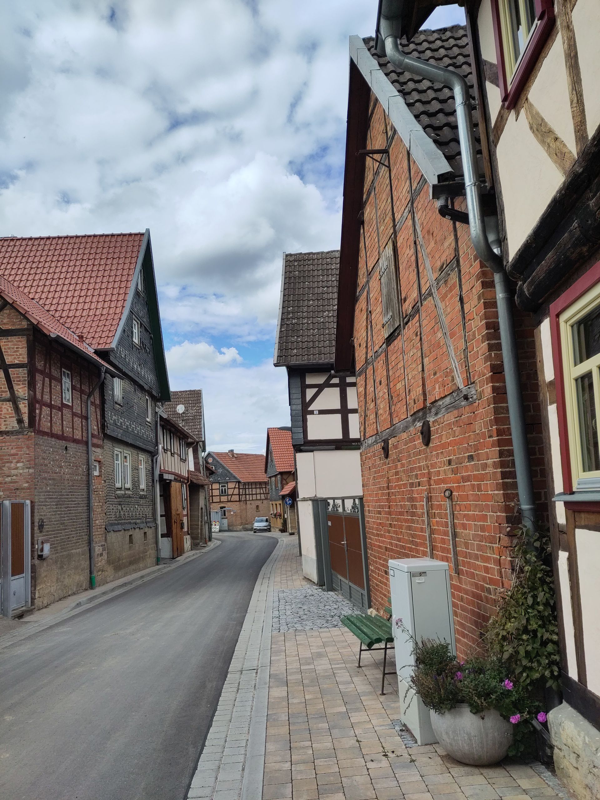
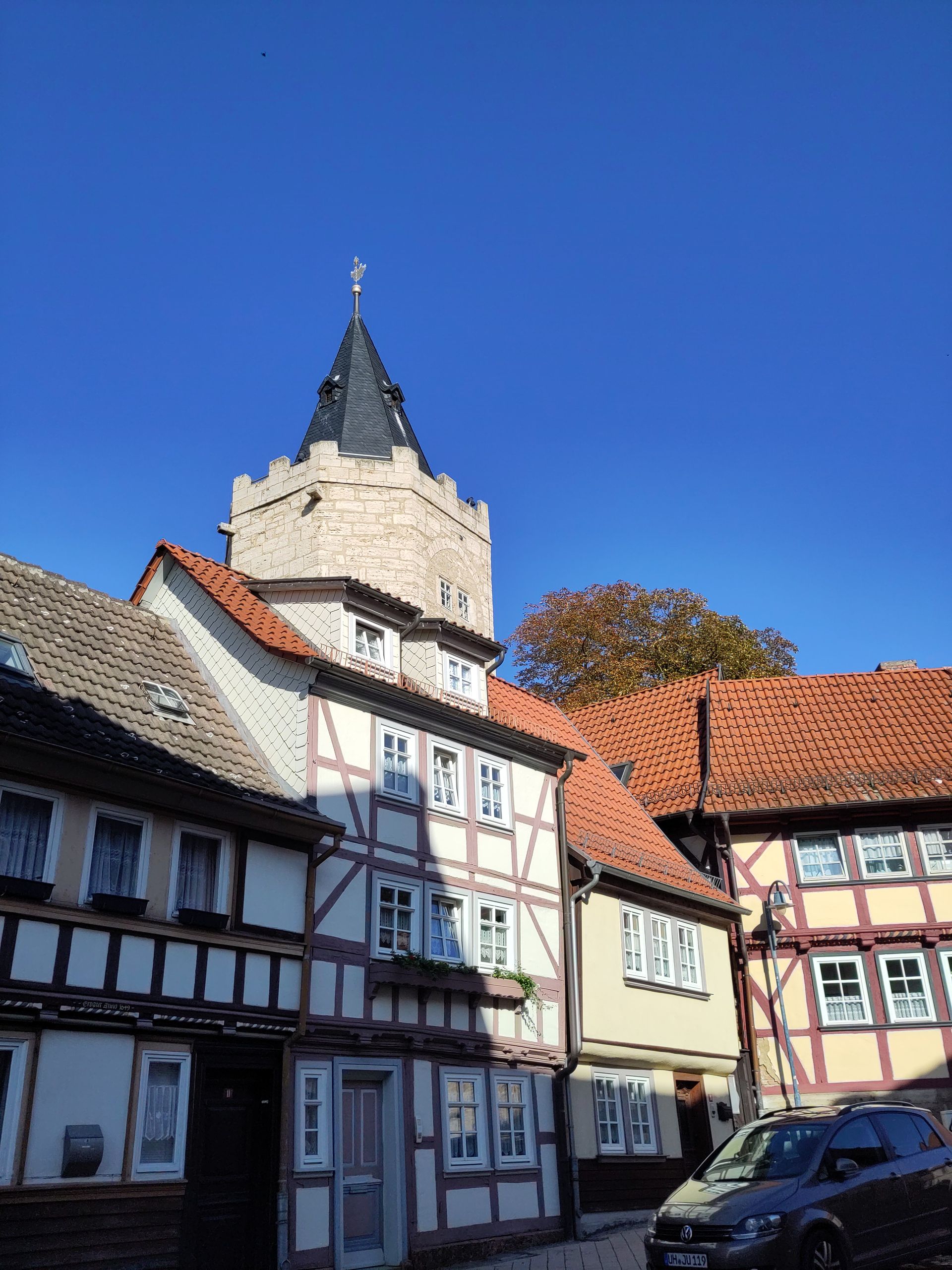
From the Hainich, I continue hiking northward, over Langula and around Mühlhausen/Thuringia until Niedergebra. In Langula, an educator comes out especially from the kindergarten across from St. George's Church when she observes me trying to enter. She unlocks the door - bright, much white wood, three wraparound 'galleries' one above the other, little adornment. In Thuringia, the 'core land of Reformation,' churches are simply evangelical. (The border to Bavaria was and still is a conventional one.) Generally sturdy, light stone buildings without adornment on the outside, the towers equally built or in half-timbering, the onion-shaped roofs covered with gray slate. In Niederdorla, I encounter not only a large Thomas Müntzer monument but am also surprised to find the 'geographical center of Germany': a linden tree was planted at this point, measured by experts after reunification in early 1991 - upon request, a certificate for visiting this center can even be issued!..
It's very nice again on the roughly 10 km long path through beech forest in the nature reserve 'Feuerkopf'; here, I even encounter 'up close' around 15 mouflons, including rams with heavy, curved horns. At night, I awake after a restful sleep after 3 AM, lying awake on 'my' picnic table bed and worrying about the cold that comes with autumn, contemplating what changes I should make to my gear that would weigh down my luggage, how much longer I might still be able to hike this year, how I get to the wedding and back, etc. - I eventually look up at the night sky and forget my worries: there it is, directly in my line of sight, shining brightly, now fully 'climbed' over the horizon, Orion, the hunter of the heavens and winter constellation! Three shooting stars appear before me in quick succession. Everything will be 'good' and right again. A little later, a cyclist with a bright light rides by, having likely noticed me despite his quick pace, stops, turns his bike, and shines his light towards me, asking, 'Is everything okay?' 'Yes!' I reply, 'good,' he says, and rides on...