
5th Stage: Freising - Oberstdorf (Birgsau)
Munich Model
Published: 27.07.2025
22 km, 1,869 meters of elevation gain
The first morning when I don’t get on my bike. It is securely fastened to the luggage rack of the car, and I had planned to get back on it in Holzgau. Since yesterday was even worse as I was huffing from exhaustion (brakes malfunction, valve defect), I decided to end the stage in Holzgau - that should be fine after what I had experienced so far...
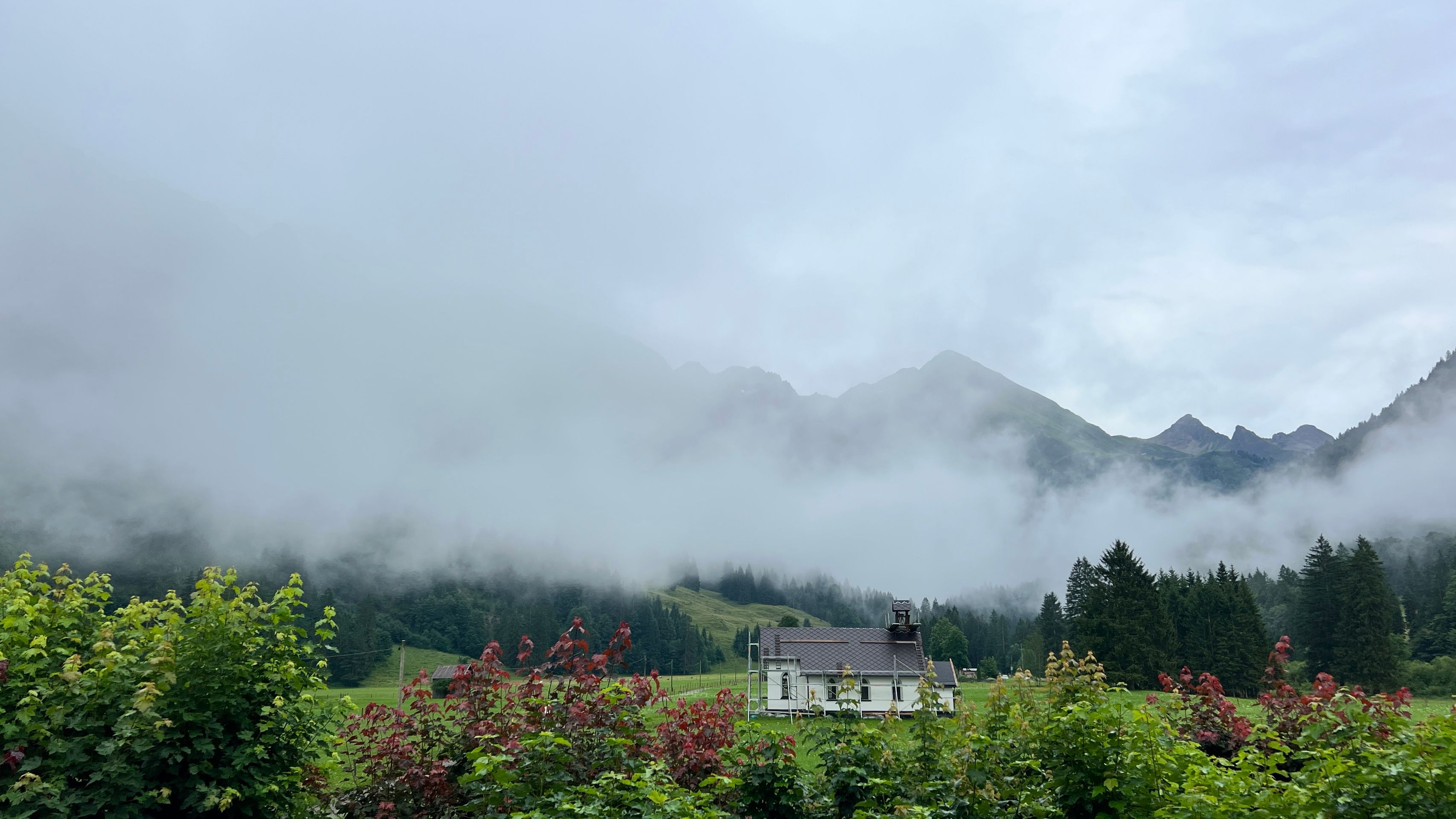
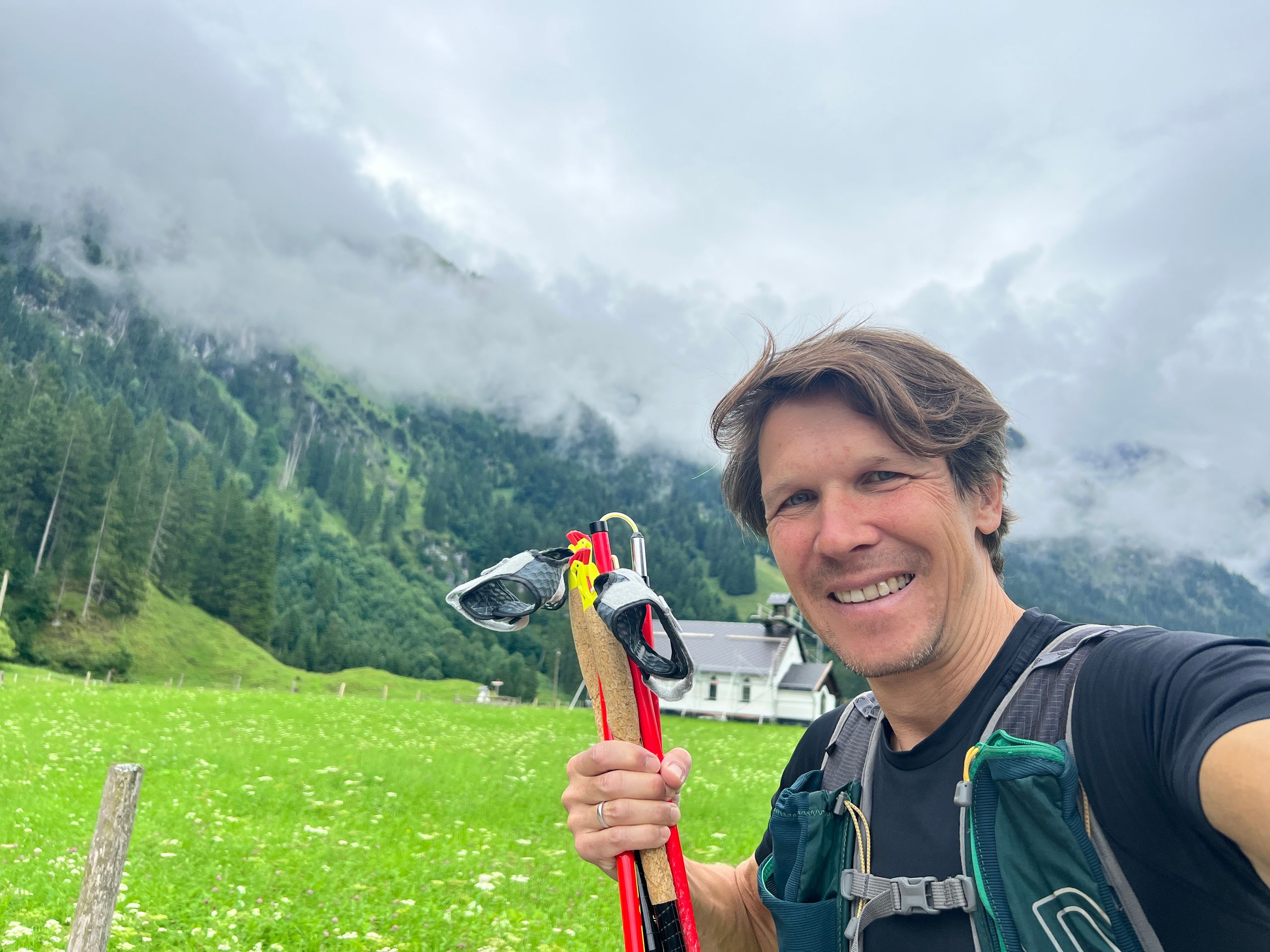
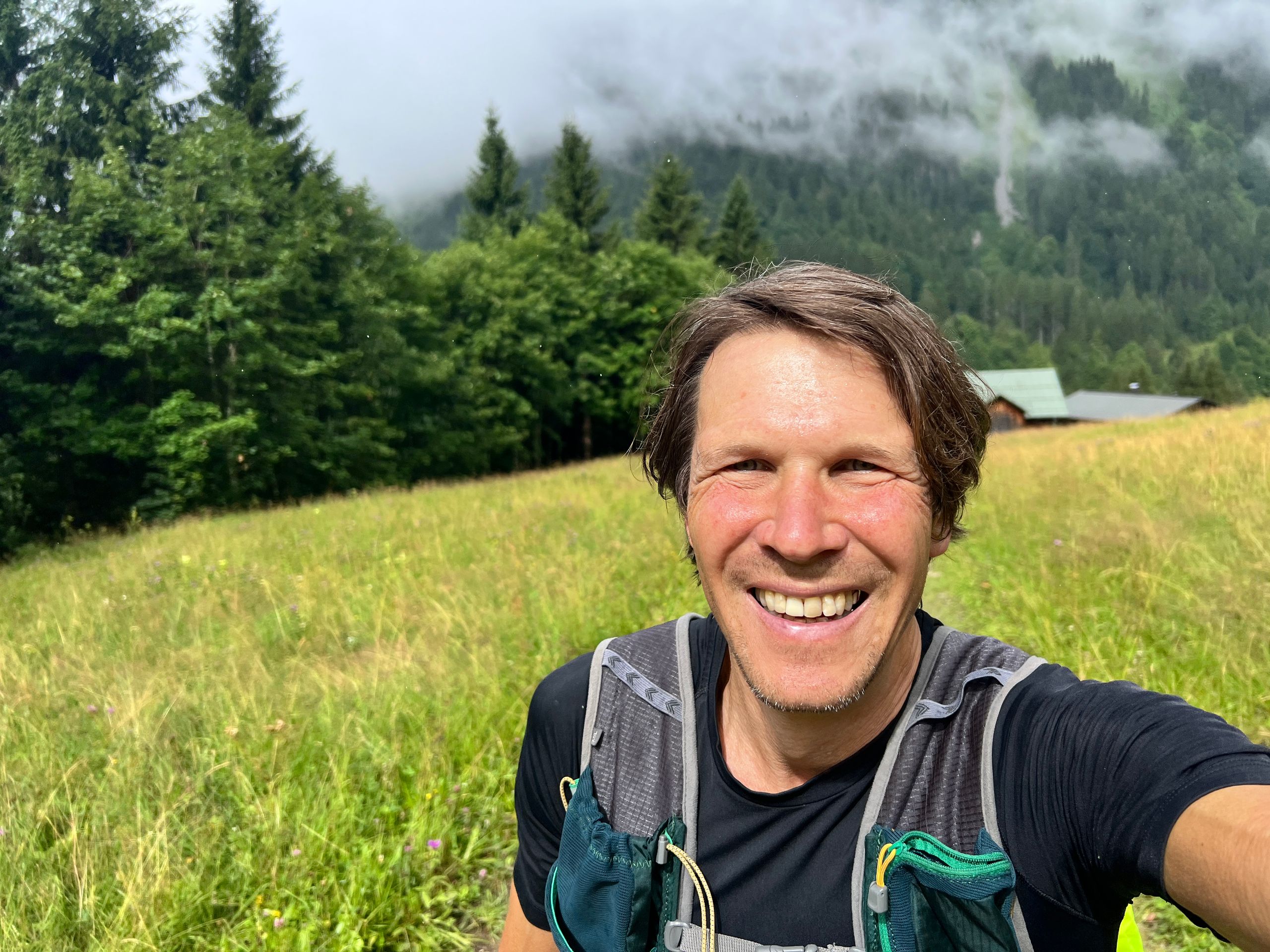
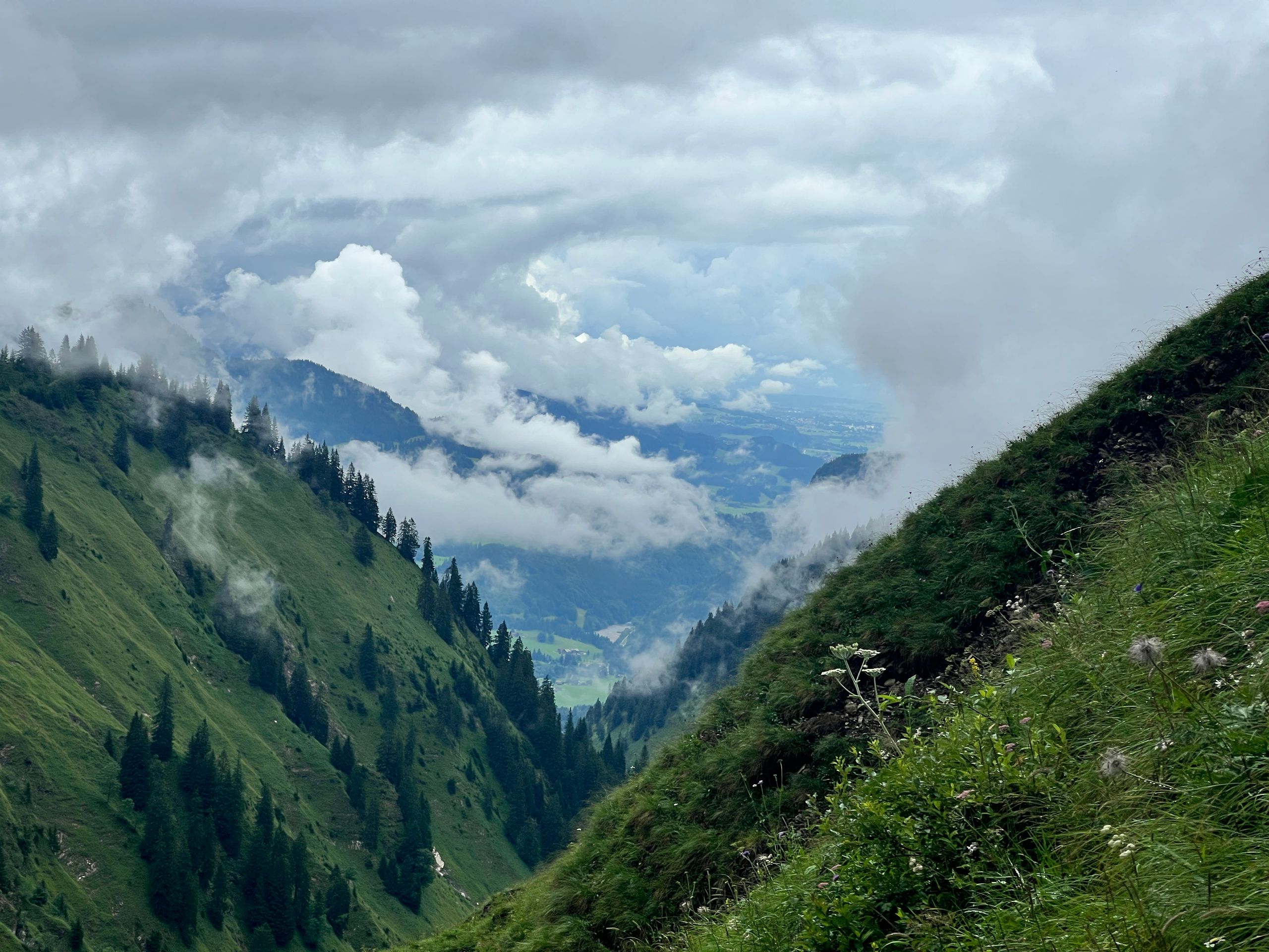
I slip into my trail running shoes and tackle the second to last summit. Running 2.5 kilometers to Einödsbach and then up to the Waltenberger Haus and over the Bockkarscharte. Contrary to the weather forecast, it was dry and should remain so until the Waltenberger Haus. When I arrived there, a shower came down; so I went inside to replenish - it’s incredibly beautiful here! After that, I continued steeply up to the Bockkarscharte.
Here I stand below Schwaben's highest peak, the Hochfrottspitze. However, there is no marked trail leading to it, so I already decided during the first planning for safety reasons (since I had already covered some strenuous kilometers) to aim for the second highest peak, the Mädelegabel. At 2,645 meters, it is only 4 meters lower than the Hochfrottspitze and accessible via a marked trail... or so I thought.
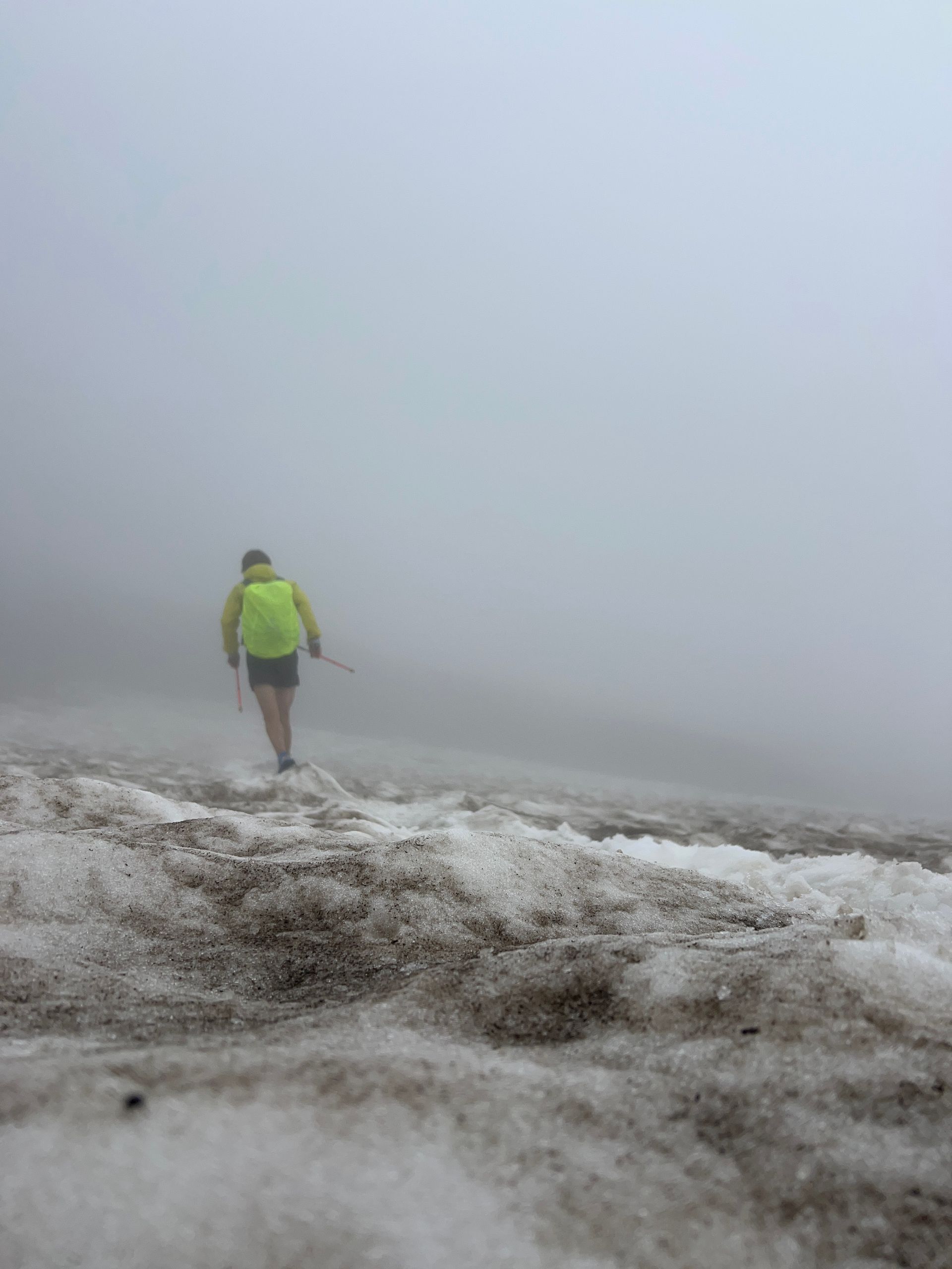
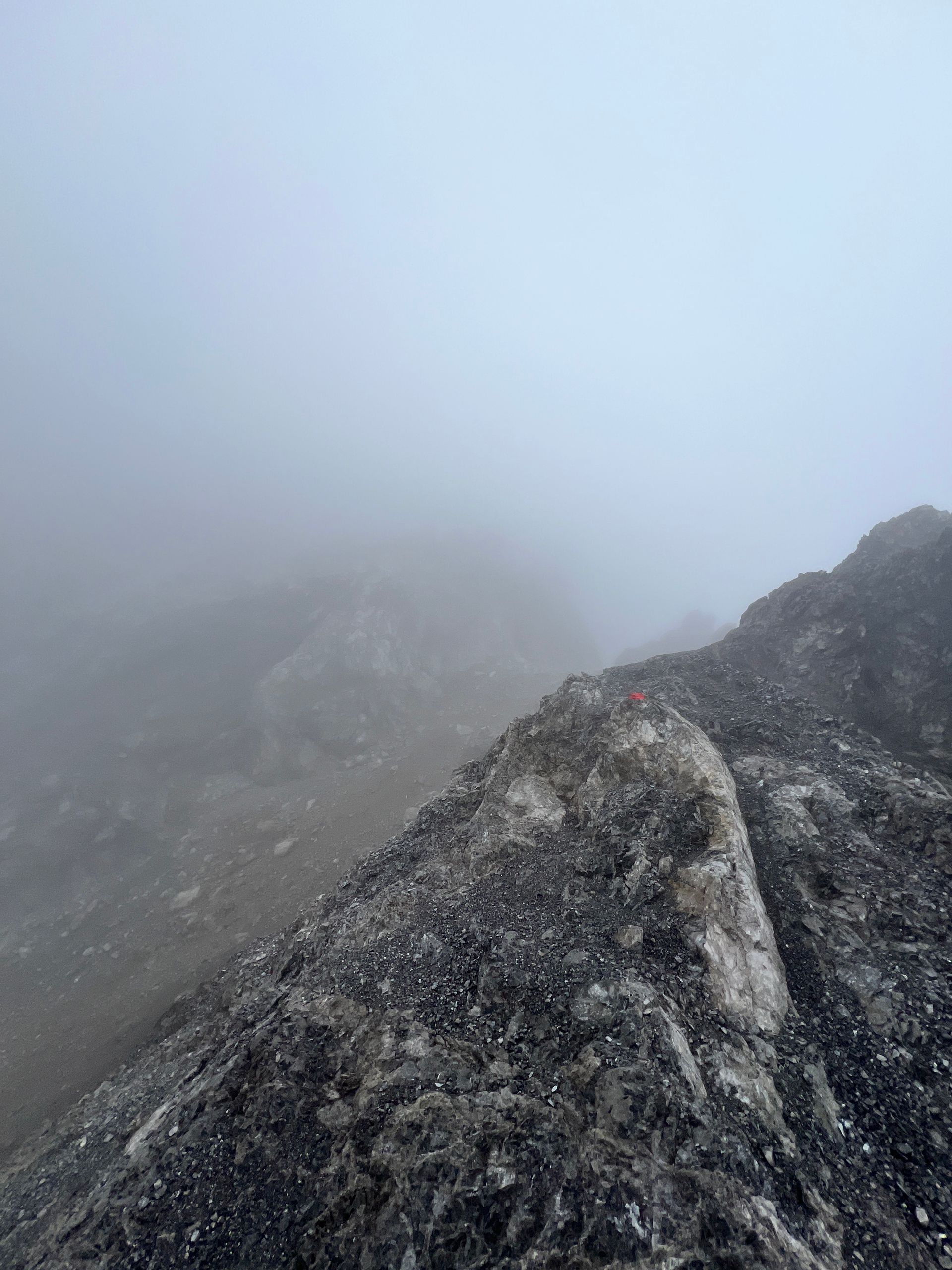
After the Bockkarscharte, I reached the Heilbronner Höhenweg and eventually crossed the Schwarzmilzferner. Then came the detour and several meters of elevation gain with some serious climbing to my day's summit. It was tougher than I thought! While there were some markings, they were not always visible due to the encroaching fog. Once I strayed from the track, it was a dead end - if you aren’t a professional climber! A little panic set in, but the summit beckoned...
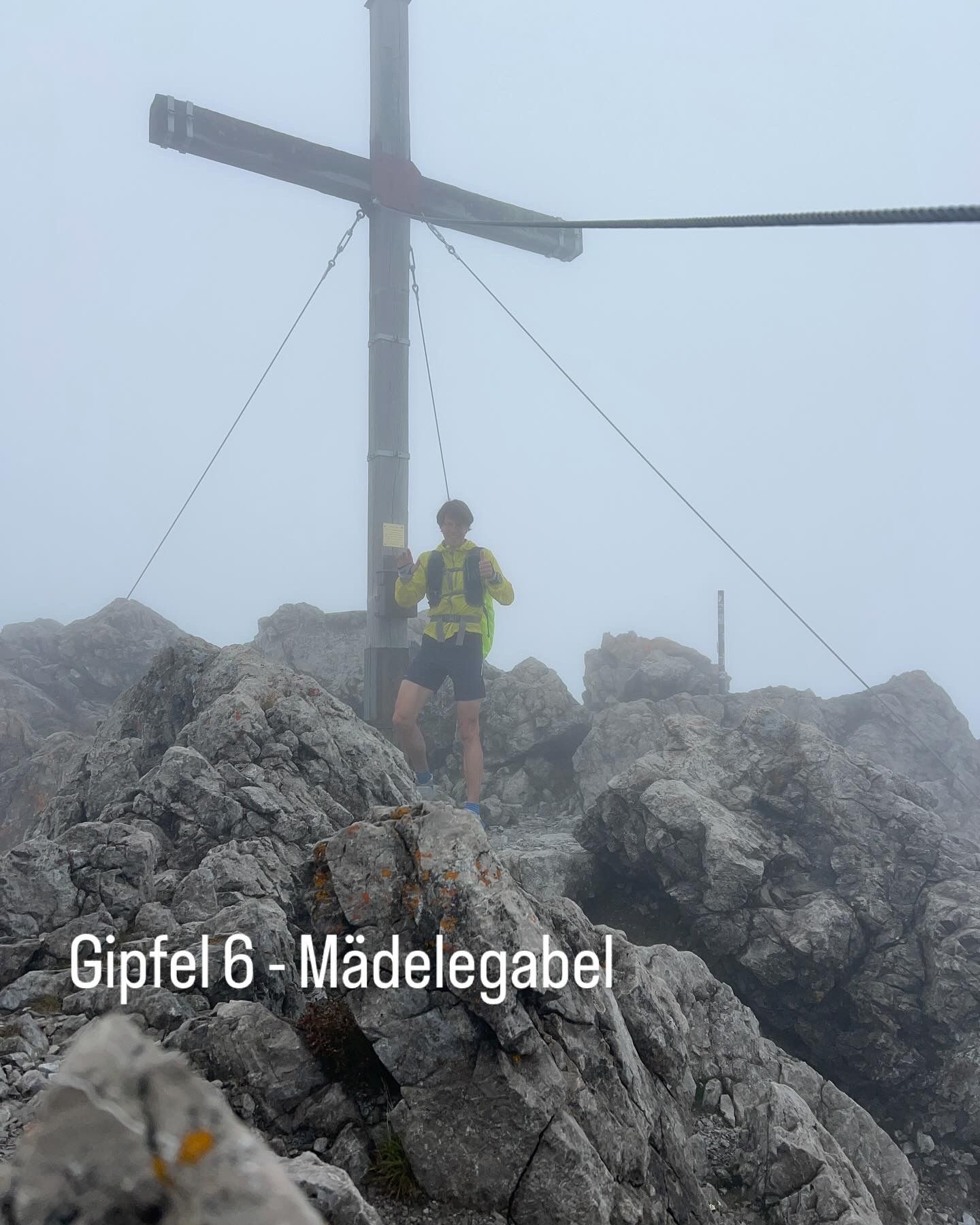
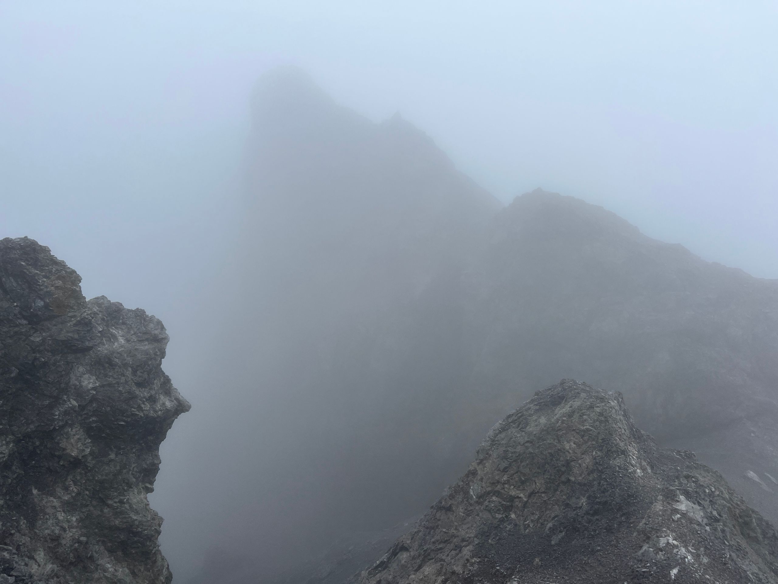
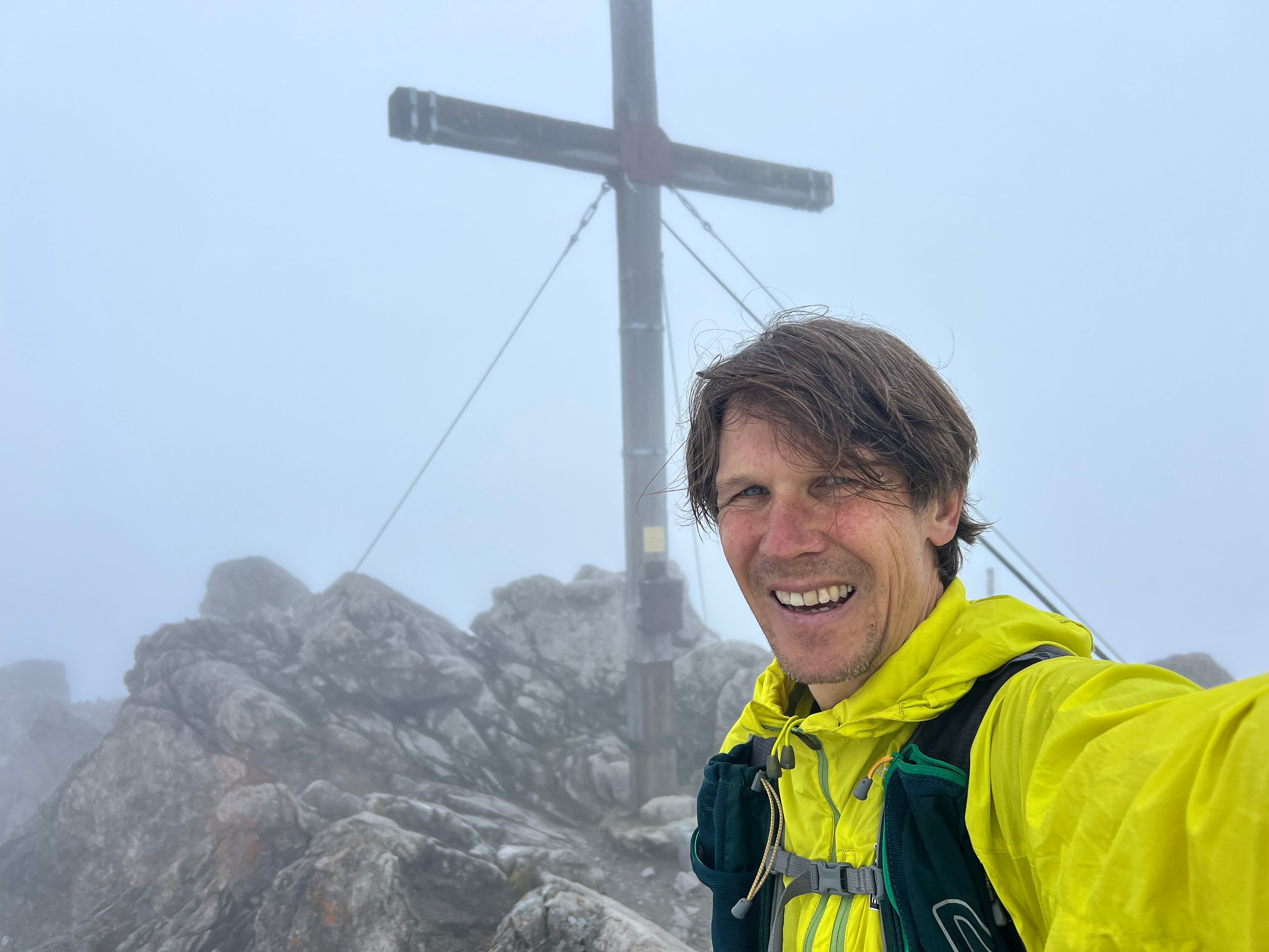
Somehow, I reached the summit cross in the fog. Perhaps the fog was a blessing in disguise, preventing me from seeing how far the drop was. At the summit, the clouds parted slightly for a photo op. Made it, I stood on the Mädelegabel!
The origin of the name Mädelegabel is not entirely clear. It could possibly be the forked structure at the summit that gave rise to it, or the word 'gabel' originally referred to a mountain saddle or the division of a ridge.
For the first ascent of this peak, I am about 150 years late. The first documented ascent of the Mädelegabel took place in 1869 by Theodor Petersen and the mountain guide Johann Schlegel. Due to its relatively easy accessibility from the Kemptner Hütte, it became a destination for mountain tourists in the early 20th century.
Of course, there are also mystical tales about the Mädelegabel: It is said to be a sacred place for Celtic mountain tribes. Down below, offerings were made to the gods of the wind, often unleashing powerful föhn waves and storms. Along with the Hochfrottspitze and Trettachspitze, these three peaks are considered a symbol of the Trinity - life, death, and resurrection.
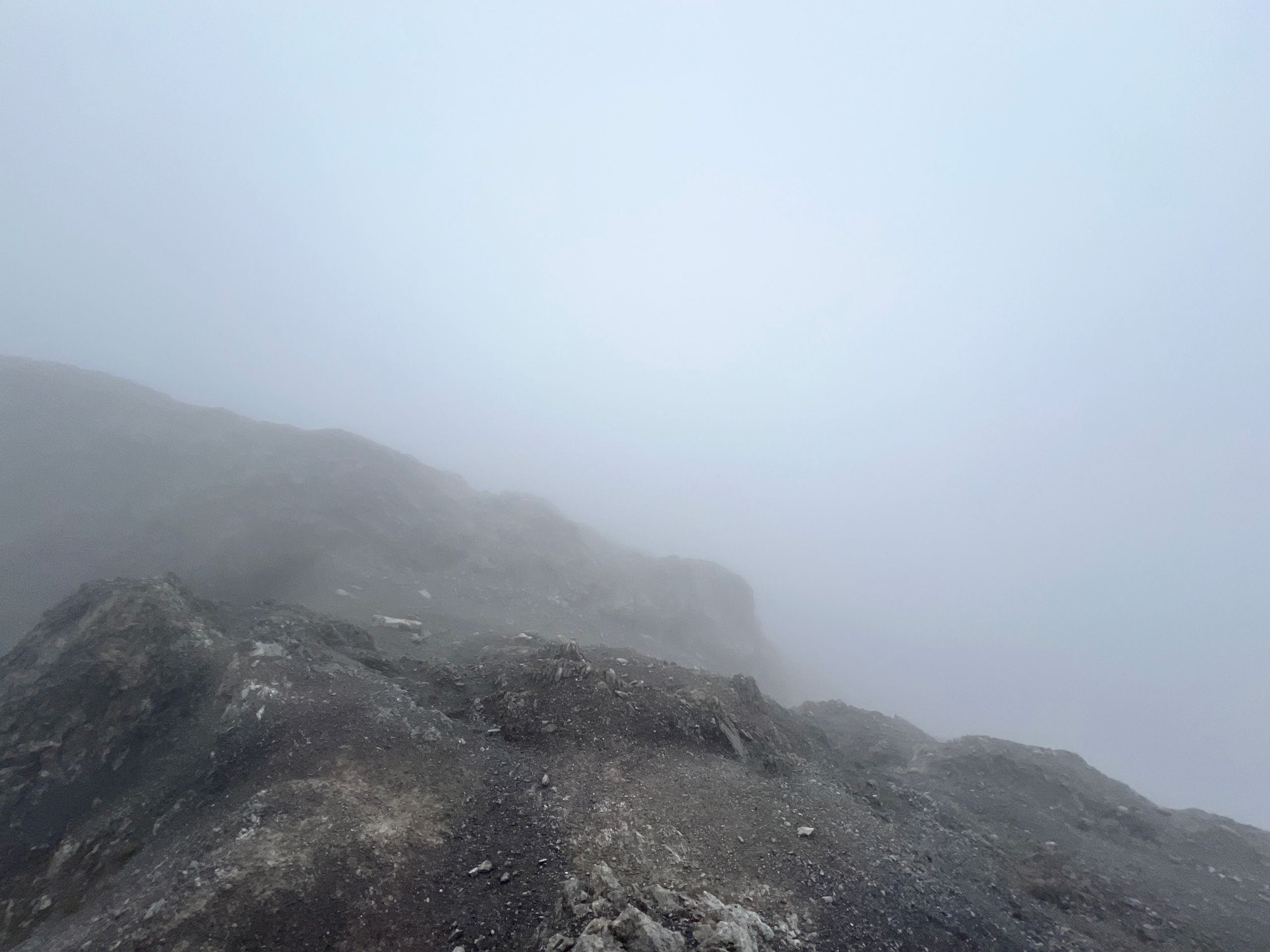
If it weren’t for the fog, I could see the Allgäu and Lechtal Alps. The only thing I see are my feet when I look down into the void beneath my armpit, trying to find a decent foothold. Life, death, and resurrection come to mind...
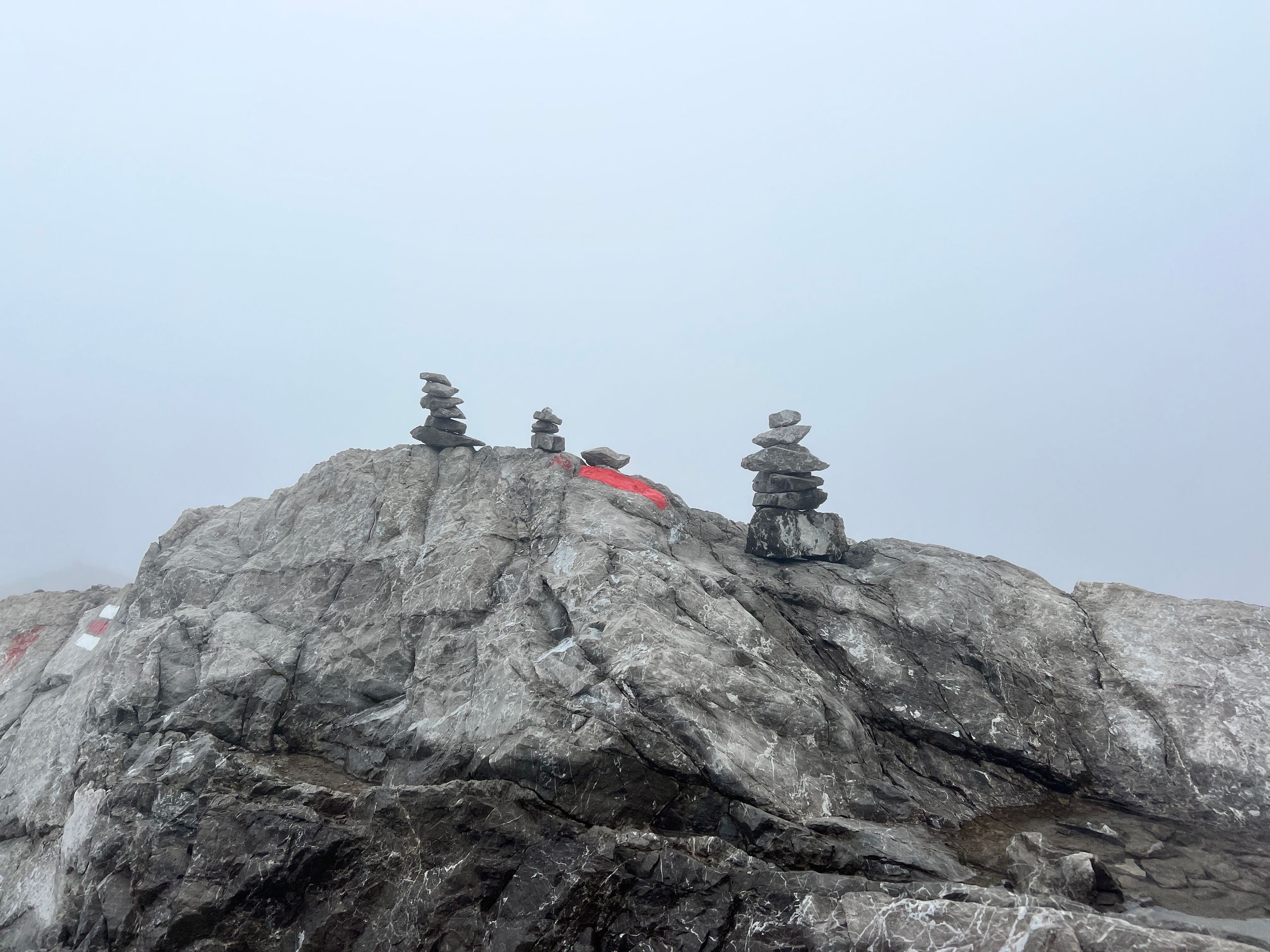
Nonsense, I just need to focus on getting back to the valley safely. The descent went well, and I should be back on the Heilbronner Höhenweg now. However, the visibility of 5 to a maximum of 10 meters left me completely disoriented. Finally, I found a stone cairn and was relieved, but shortly after I was once again without markers and orientation in the high alpine terrain. Now I had to stay calm and try to stick to the Garmin track as much as possible.
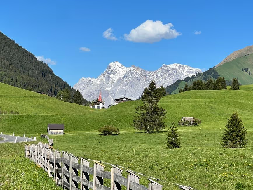
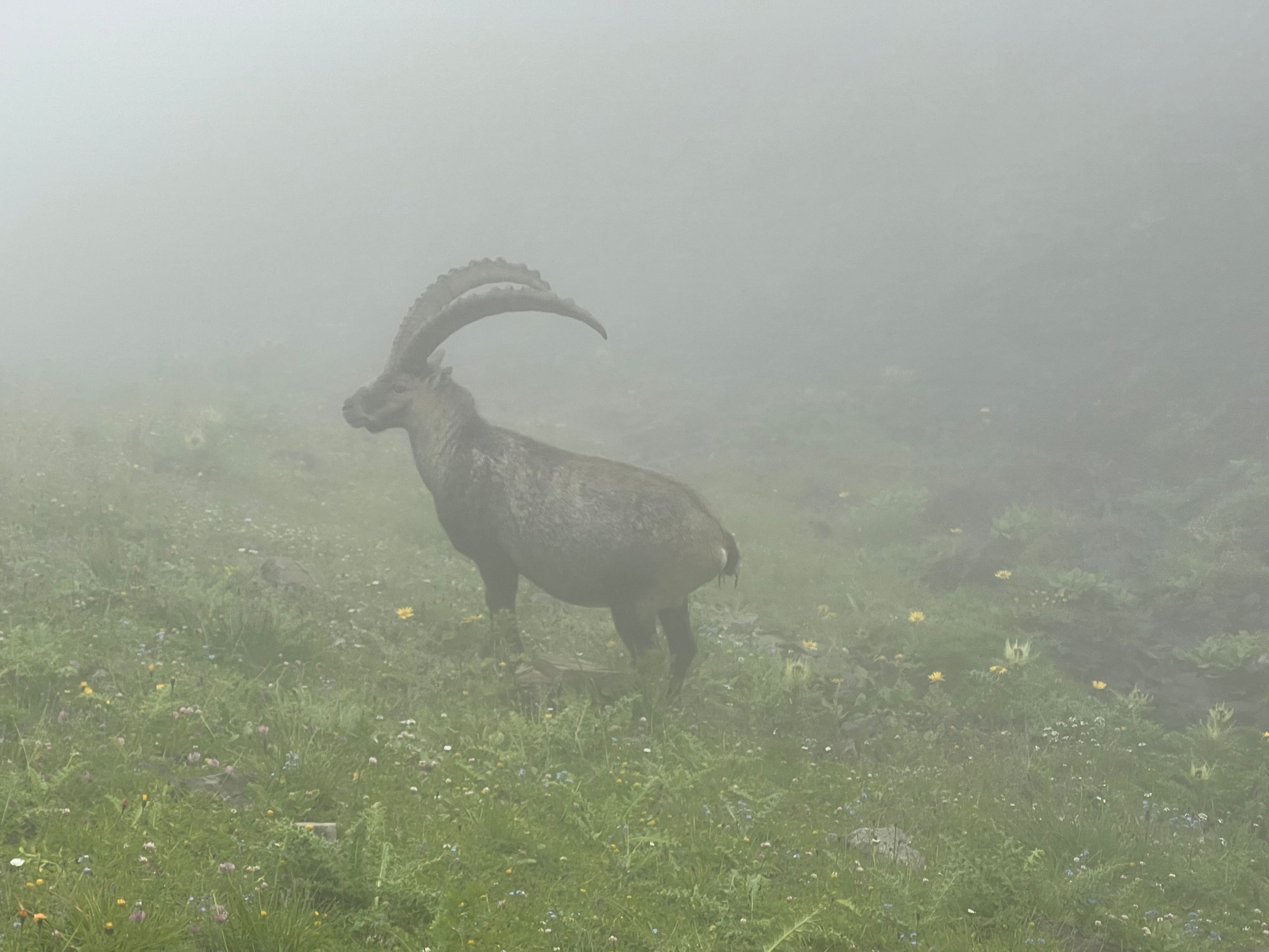
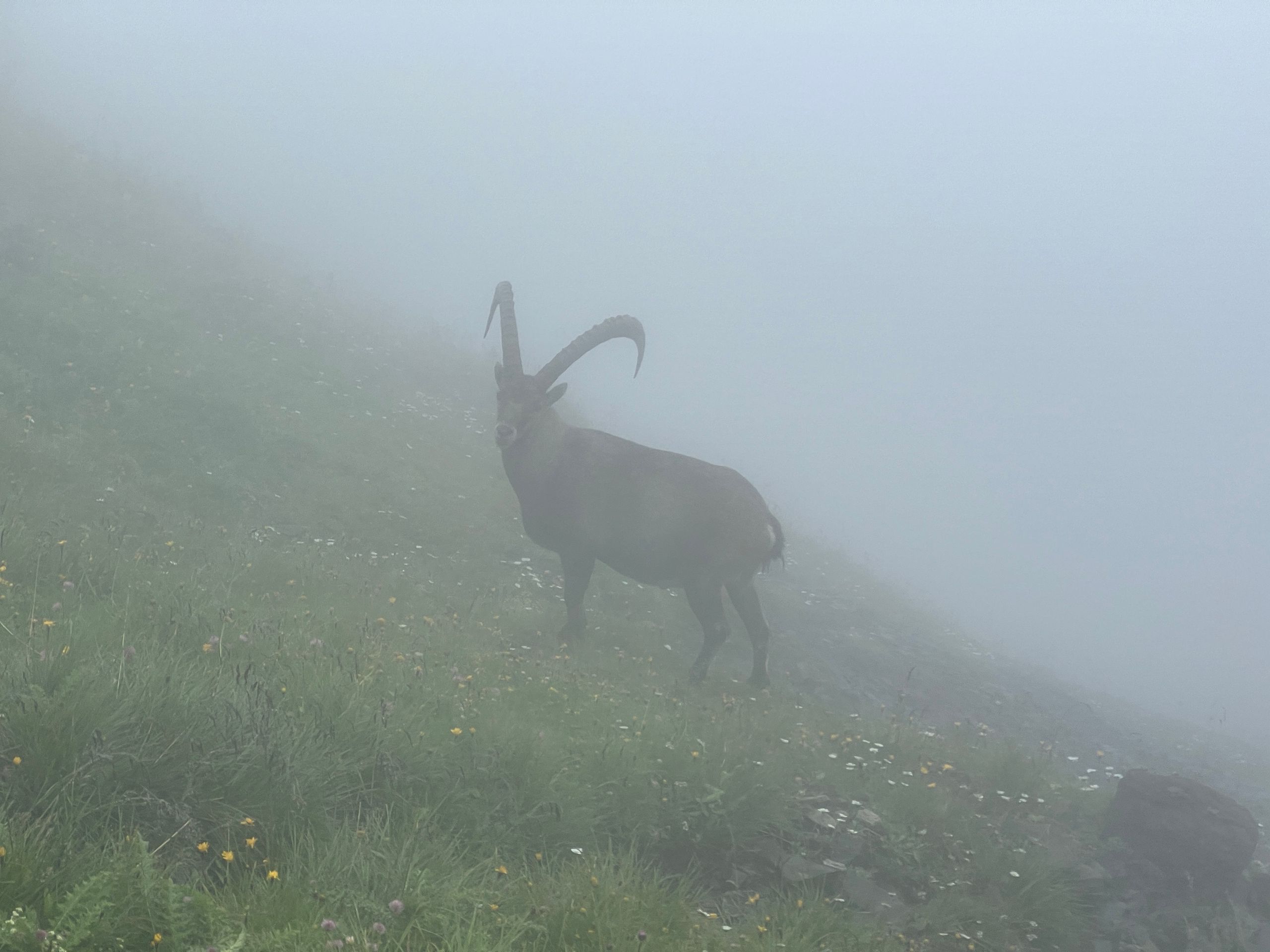
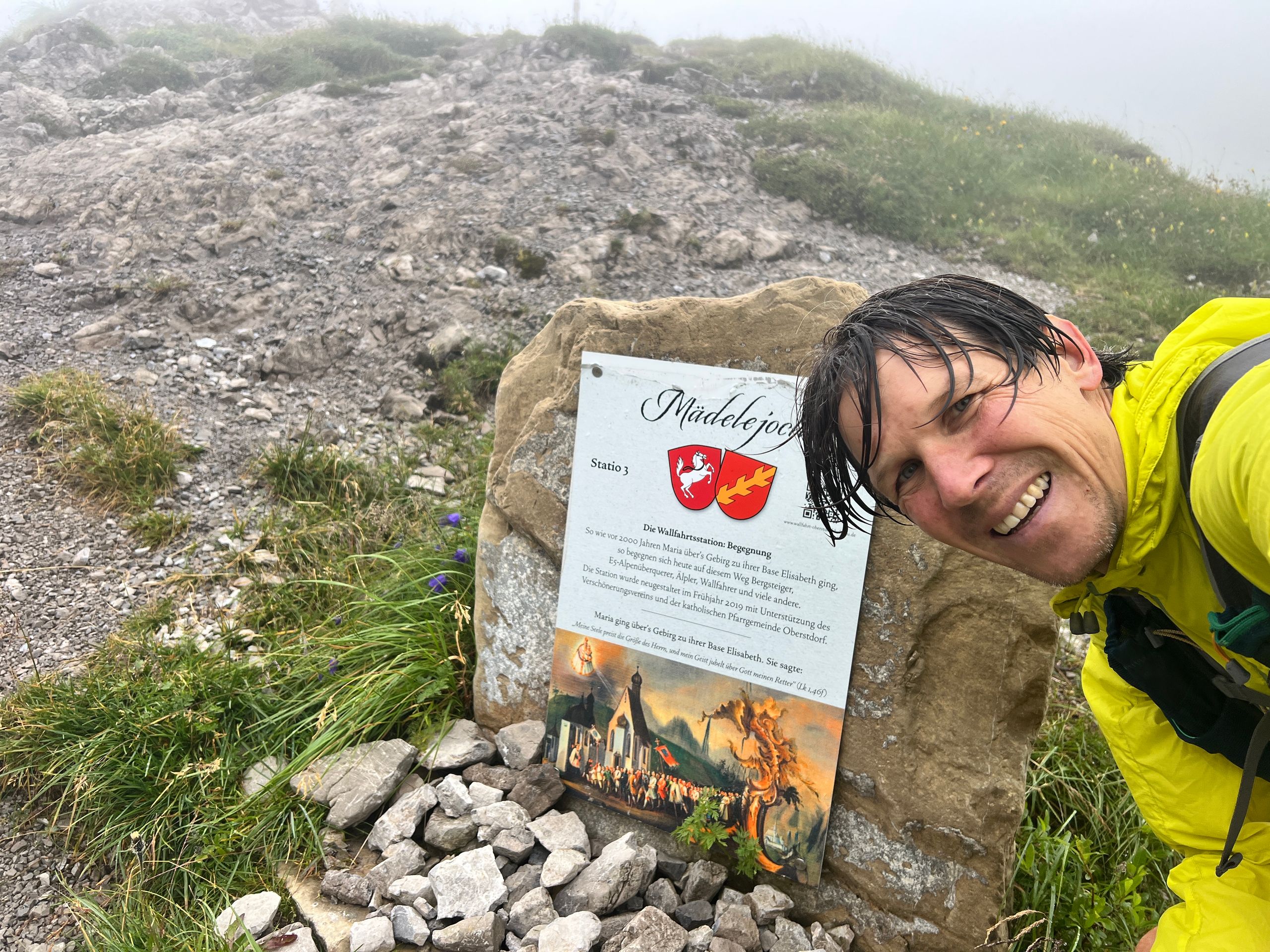
Somehow I managed to find a path again and followed it on the steep slope, much longer than I had thought, to the Mädelejoch. Here, I was rewarded with glimpses of several chamois...
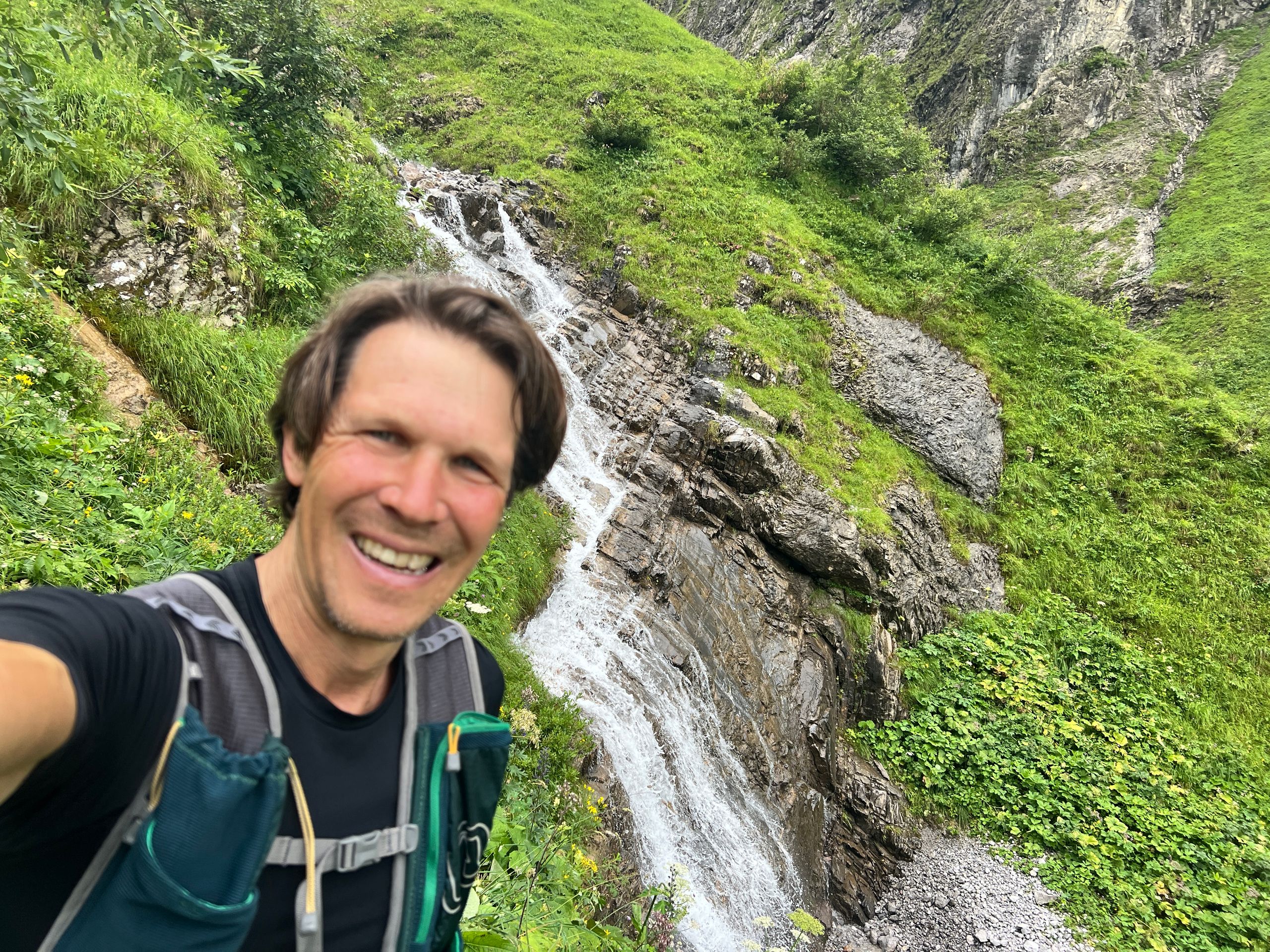
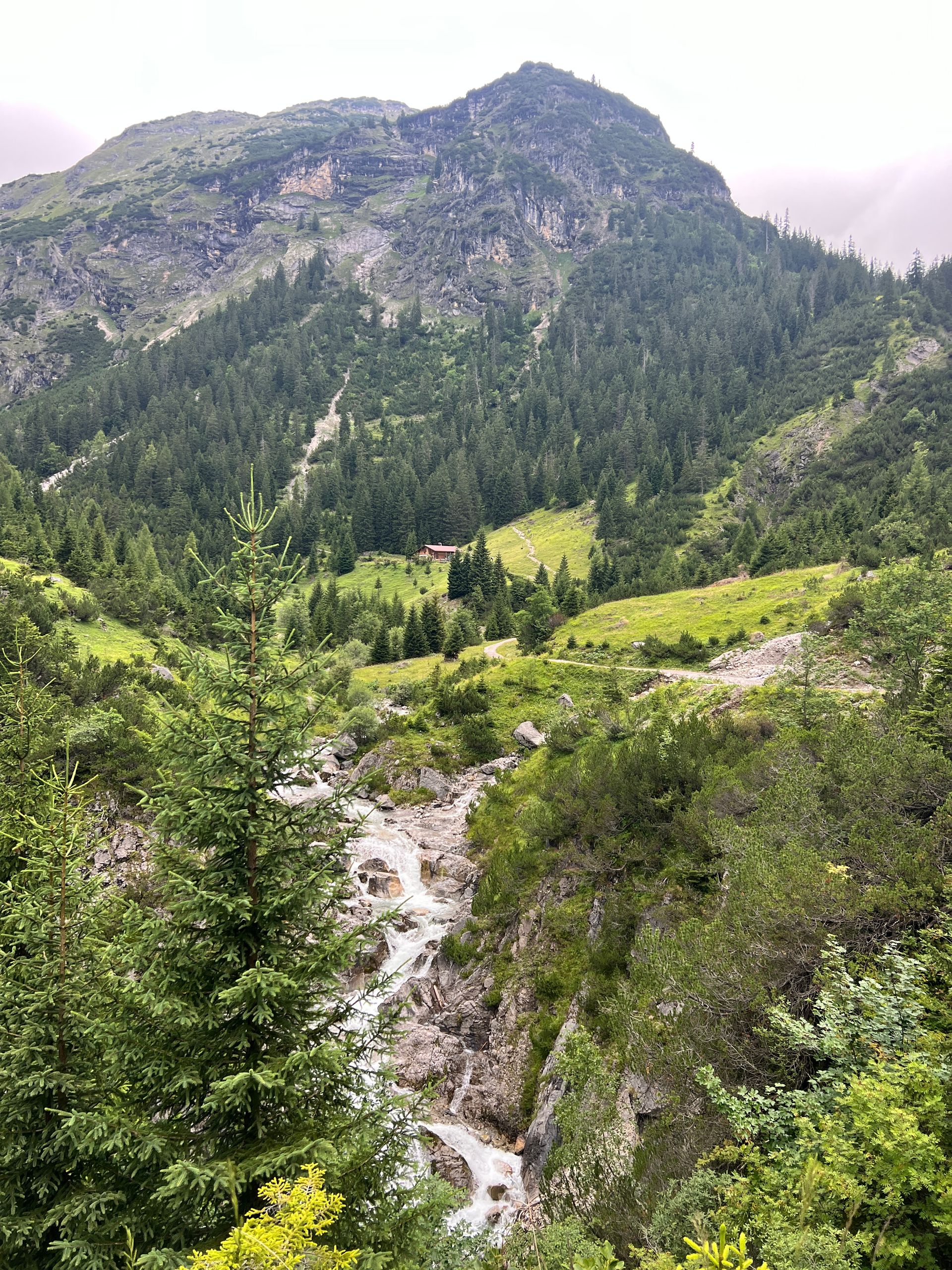
From the Mädelejoch, I recognized the trail again, the fog lifted, and I ran a bit overenthusiastically (which resulted in quite a muscle ache) toward the valley. At Uttas Café above the gigantic Simms waterfall, my “fan club” awaited me and there was first a little refreshment. It was then a cozy journey to Holzgau and by car onwards to Garmisch, my last stage location.
Actually, I had been looking forward to cycling over the Namlostal and the final ascent up to Hotel Das Graseck (33% gradient), but to be honest, after the experiences and the now returning rain, the car was the best alternative.
Hello GaPa, I'm looking forward to the final stage!
Want to know more about the land, people, and peaks? The BR has produced an entire series on the 7 Peaks of Bavaria (Hochfrottspitze):