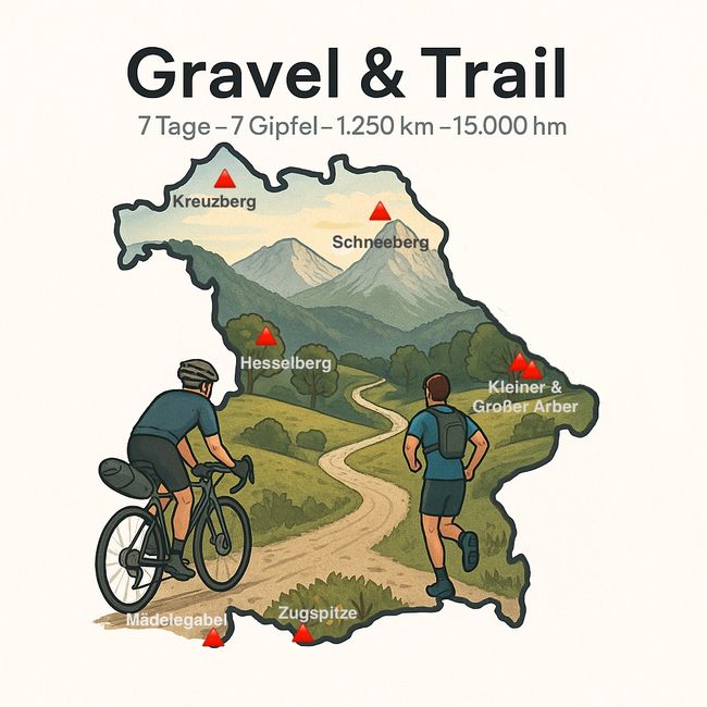


7SOBGD - Seven Summits Of Bavarian Government Districts
duathlon
Published: 19.07.2025
254 km, 2,390 meters of elevation gain, 8:47 hours in the saddle
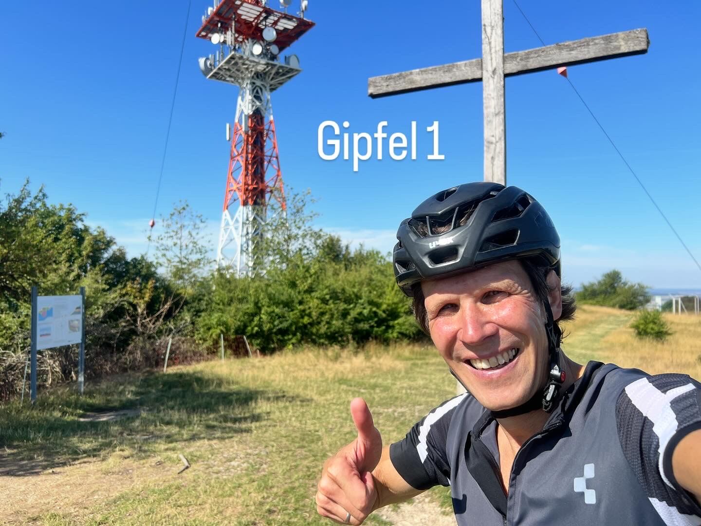
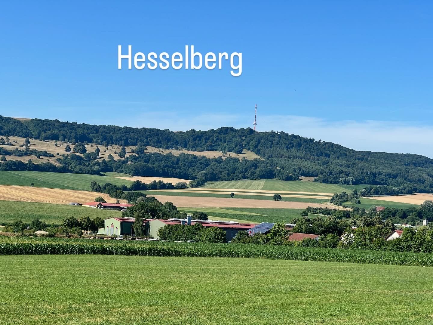
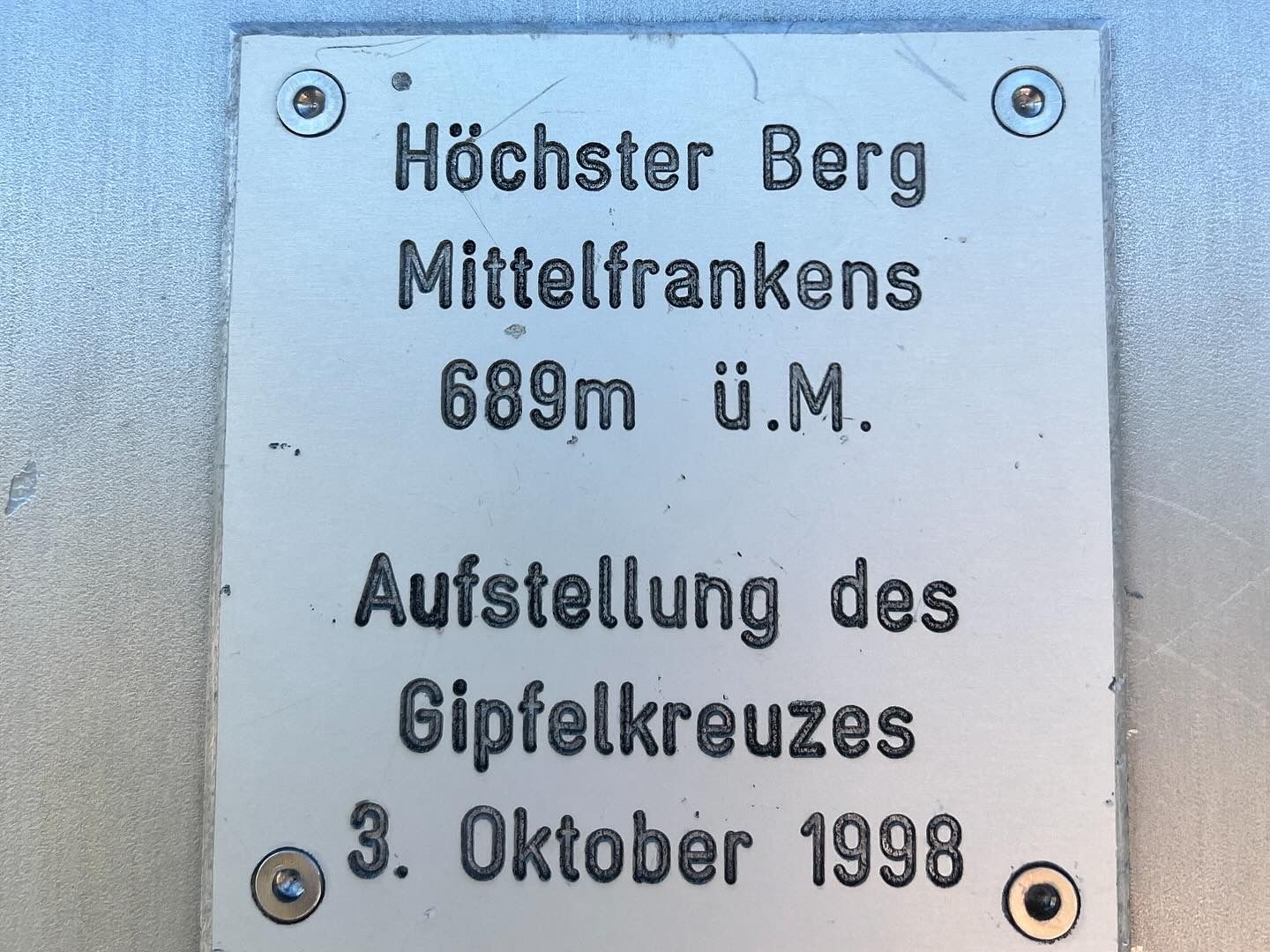
Summit: Hesselberg 689 meters (Middle Franconia)
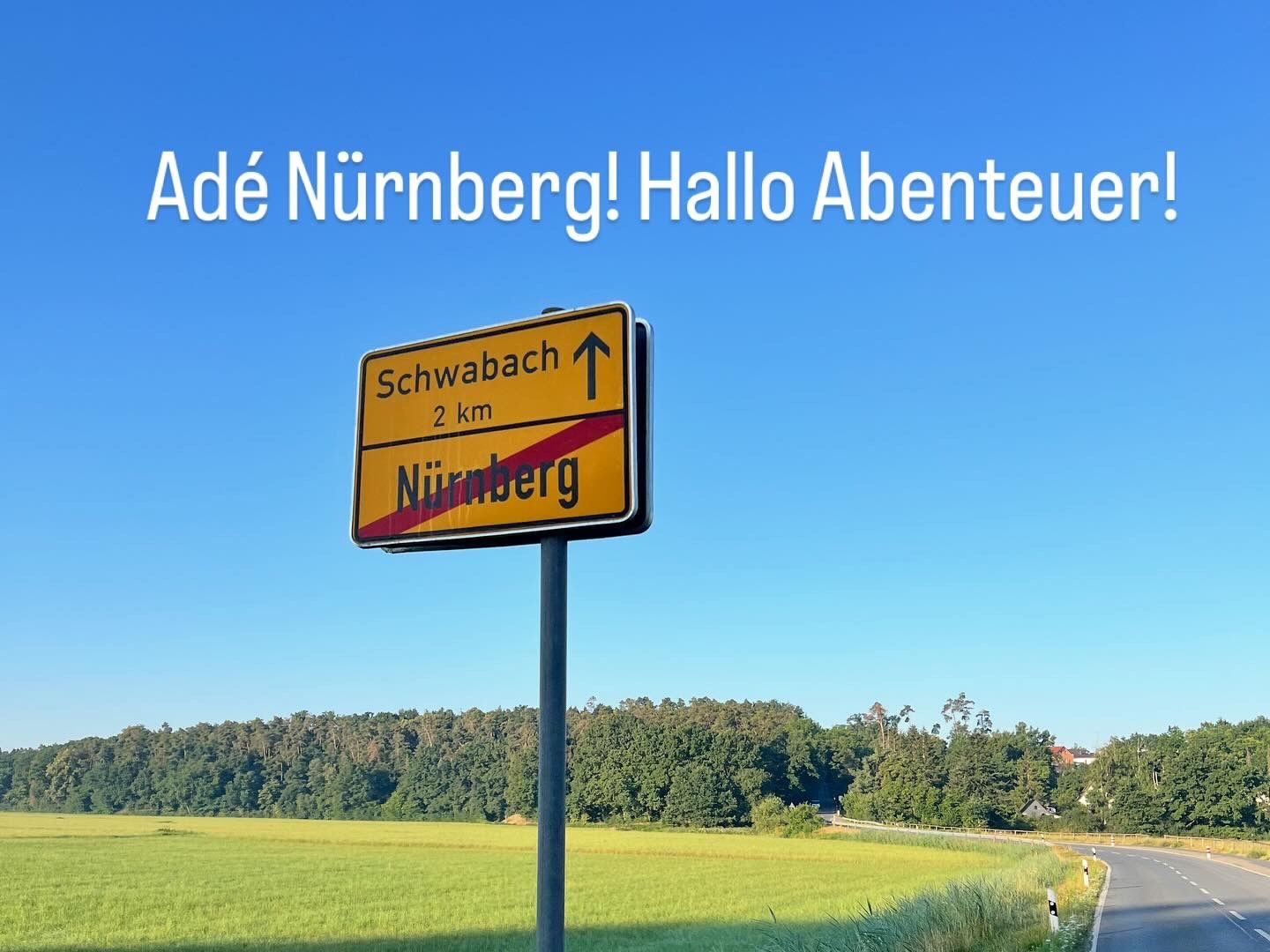
The route started in Nuremberg, which has been my home for almost 30 years. Here, I had the privilege of marrying my lifelong partner and together we pursued our dream of owning a house with a beautiful garden.
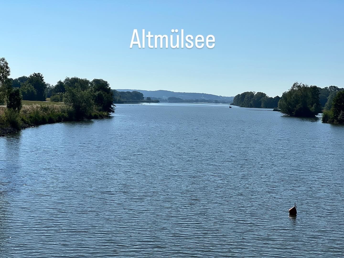
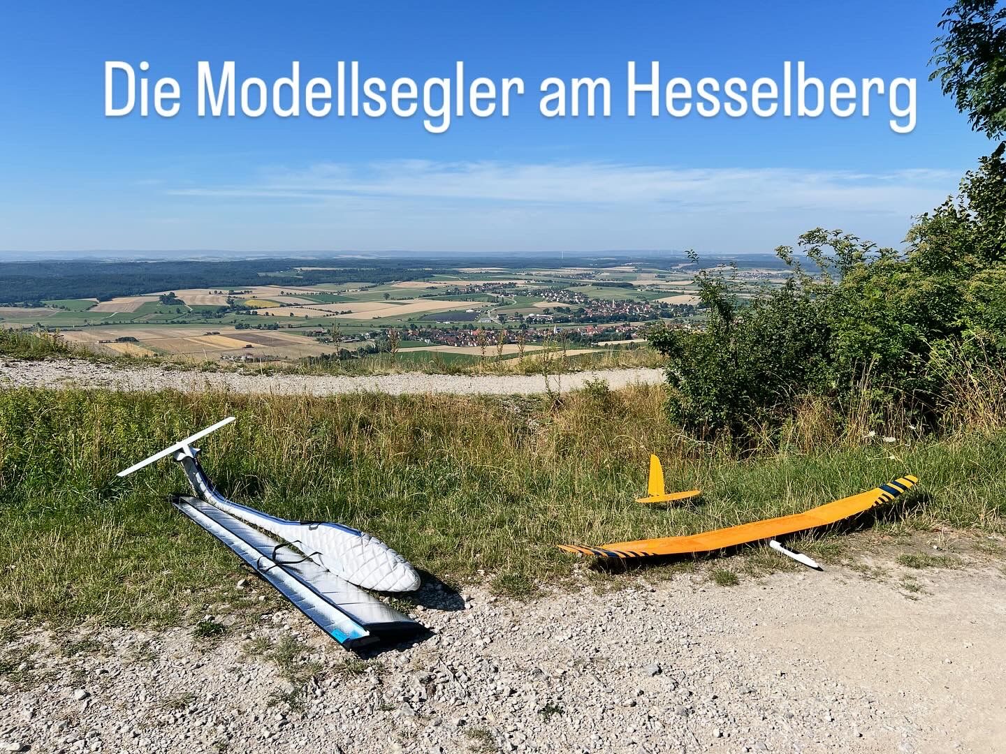
My route led me southwest past the westernmost lake of the Franconian Lake District, the Altmühlsee, to the highest elevation in Middle Franconia, Hesselberg. The mountain is wrapped in numerous legendary tales that have been passed down from generation to generation. The fact is that it provides a revealing glimpse into the Earth’s history from the Jurassic period, about 200 to 150 million years ago. Unfortunately, it is also a fact that it was misused by the Nazis, but luckily today it is utilized by families, athletes, model airplane enthusiasts, and of course by the sheep and goats that help keep it from overgrowing (more on this in the TV report below).
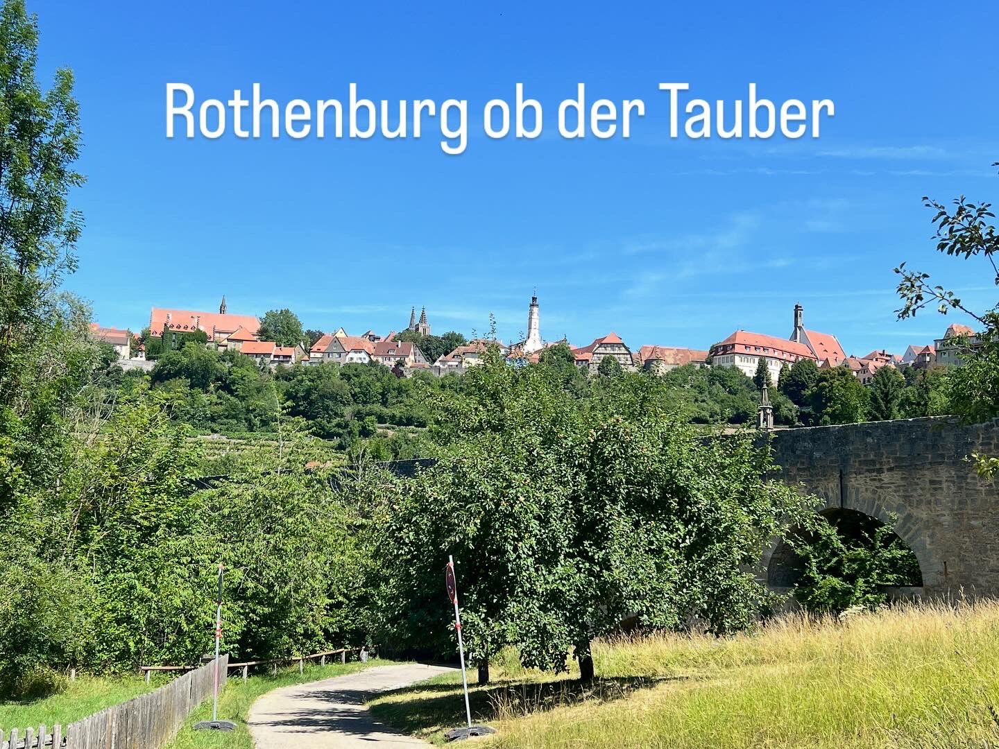
After Hesselberg, I traveled north-northwest, closely following the border with Baden-Württemberg, to Rothenburg ob der Tauber. This historically significant town is known to many (sadly only) as a Christmas city. It holds a different significance for me. In 2016, the 50 km route of the “Taubertal 100” served as an internal (well-executed) qualifier for the upcoming 100 km world championship in Los Alcázares (ESP). Just today, I was reminded of how hilly the profile of the Tauber bike path is. Completing it in a controlled sub-3:15 hour pace ended up being a bit harder than I initially thought… I covered about 25 km today on this route up to Bieberehren, just before which I left Middle Franconia and entered Lower Franconia. Subsequently, I headed towards Ochsenfurth.
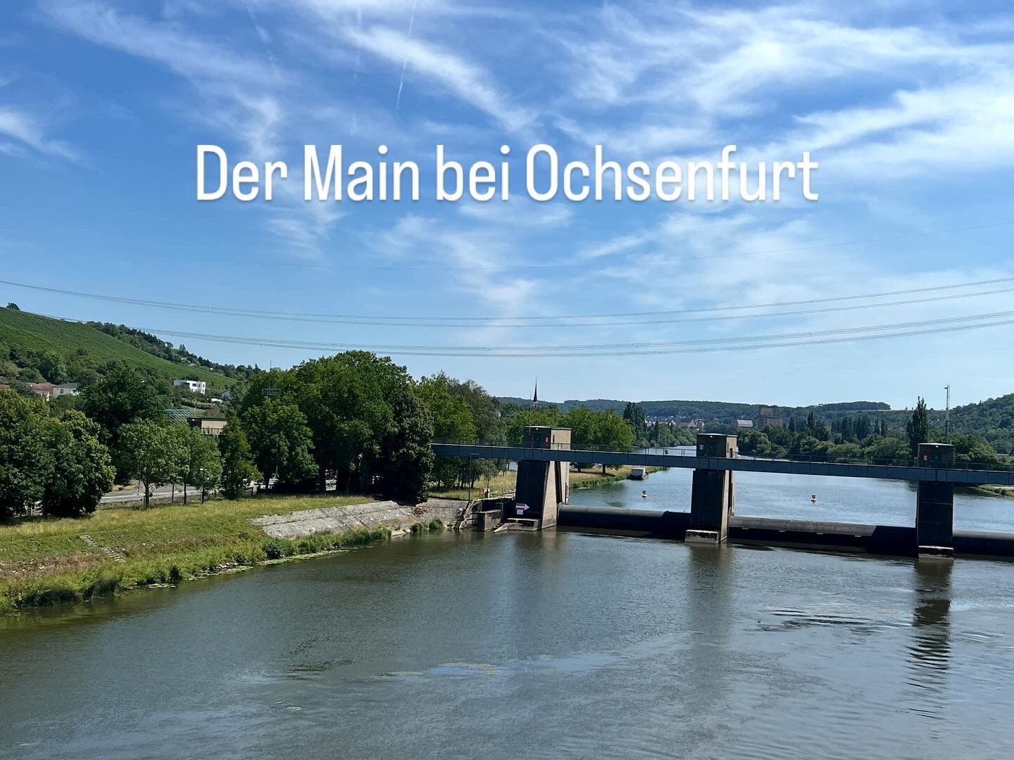
Here, I came across the longest right tributary of the Rhine, the Main. I will encounter its source river tomorrow. Here I rode along the crucial waterway for inland shipping, which connects the Black Sea with the North Sea through the Main-Danube Canal.
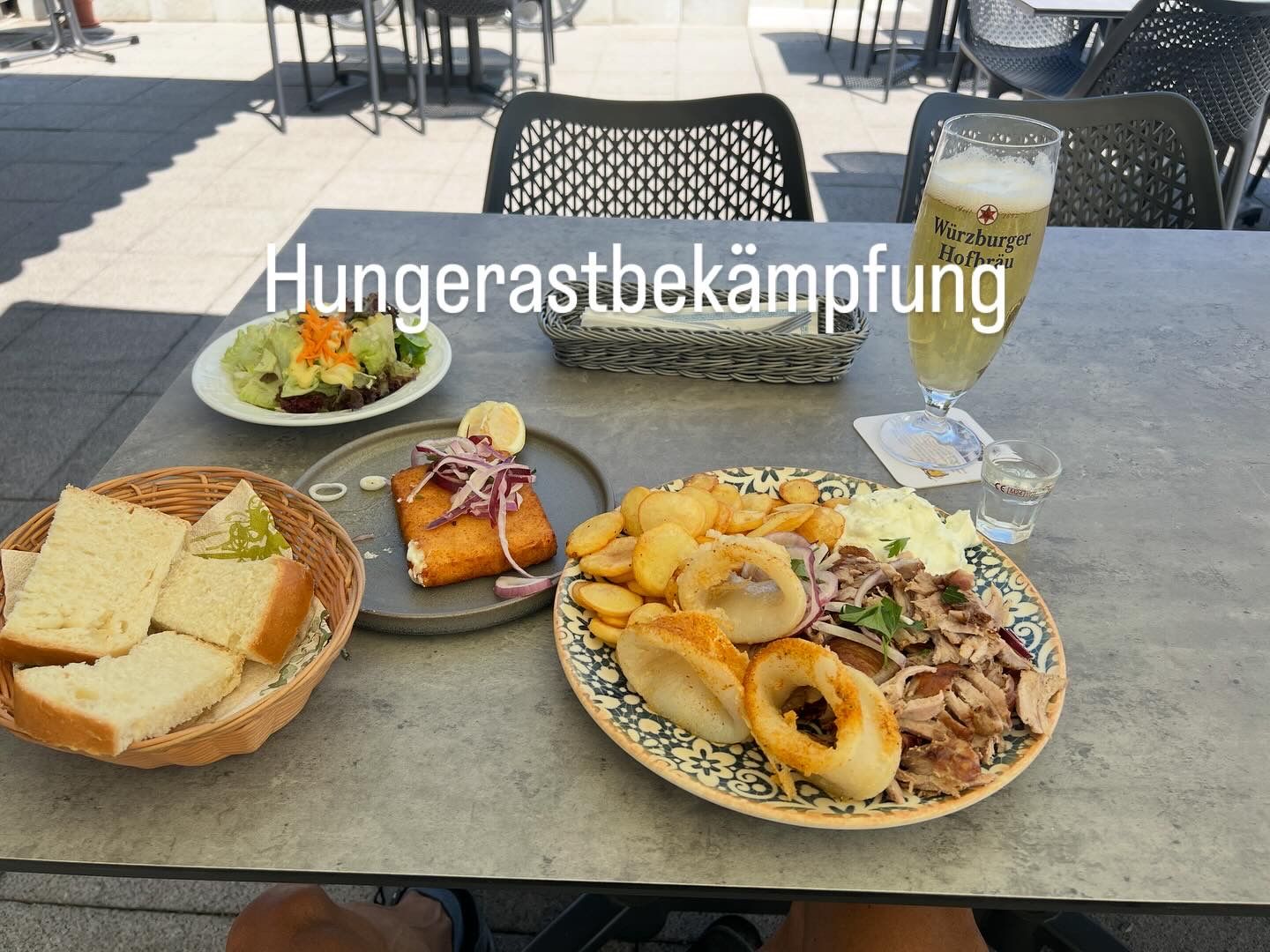
I had to contend with a significant hunger pang here. Stopping at a Greek restaurant filled my stomach, but I had definitely lost too many minerals - it was getting tough and noticeably slower...
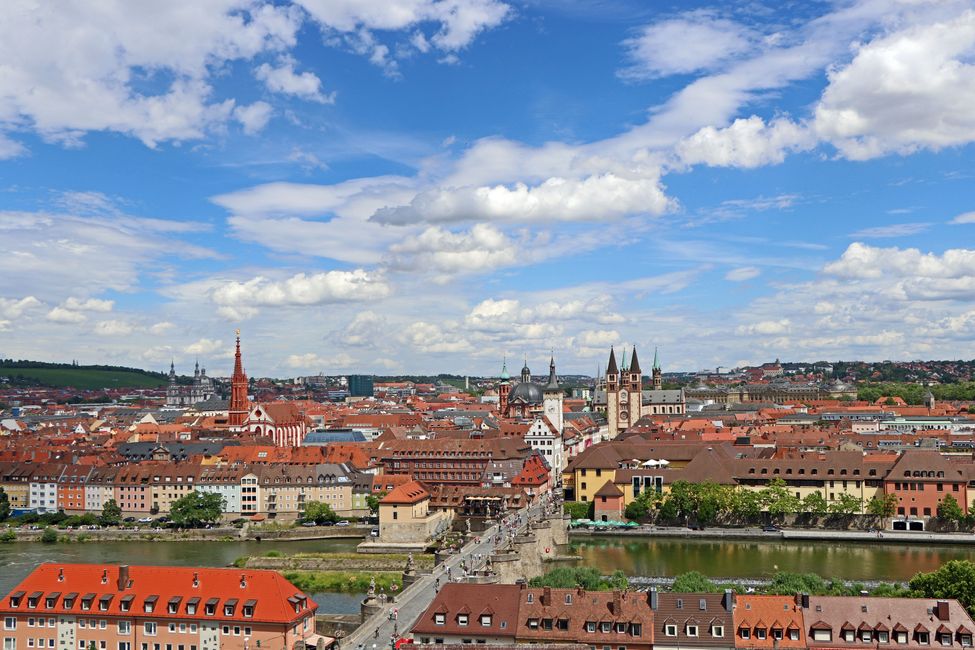
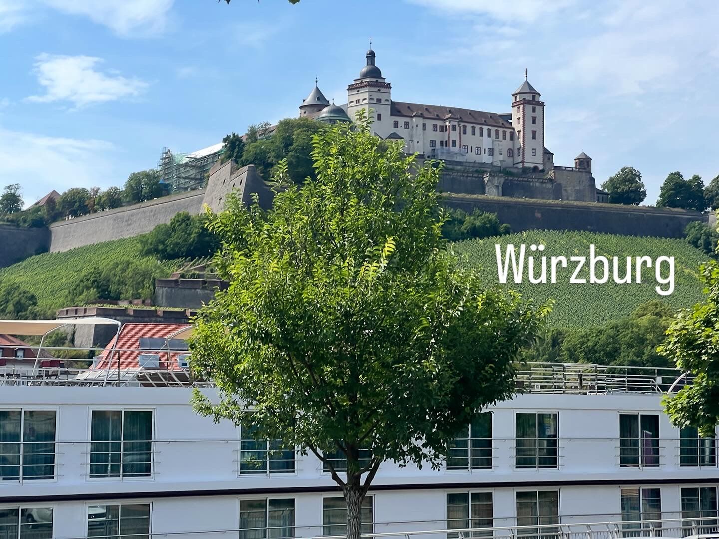
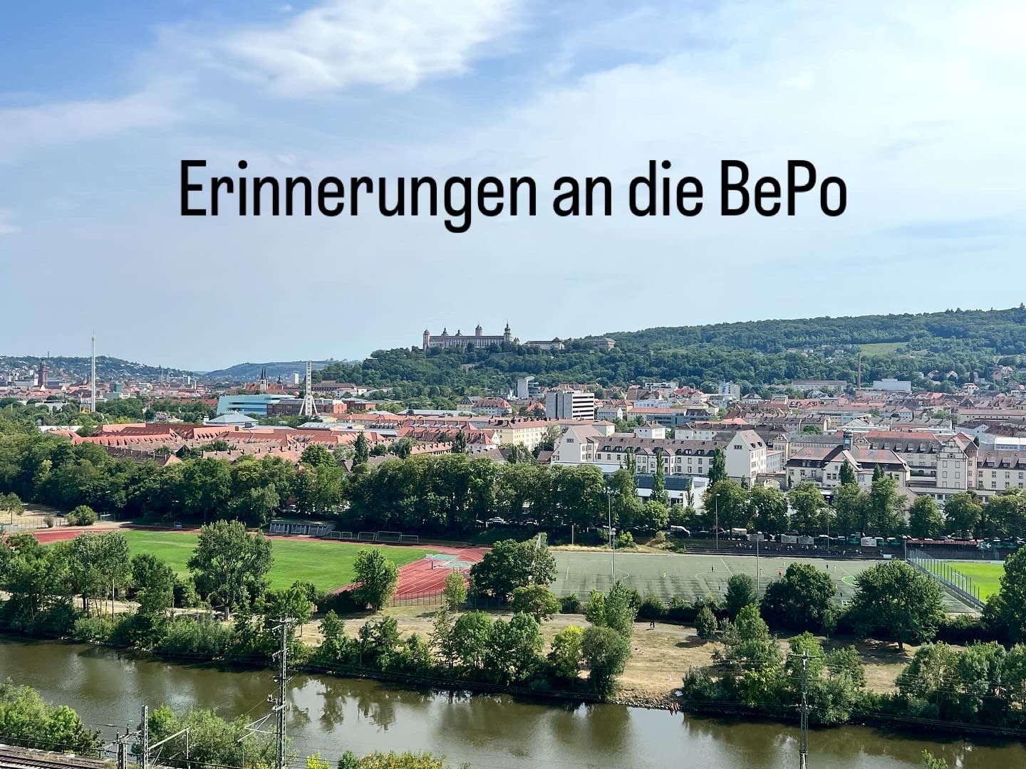
Downstream, I headed to my next stopping point, Würzburg, the university city and the Catholic center of Mainfranken. Neither of these factors were decisive for me to spend 2 ½ years of my life here. It was the beginning of my professional life, in the police service. Unfortunately, this also meant (temporarily) stepping away from the promising path in competitive sports that was just starting. There were no sports promotion programs at the police over 30 years ago - but the decision to join this organization was still the right one (even if responsible for some low points 😉 - how fitting that I reached my lowest point of the entire tour at 170 meters above sea level in Würzburg).
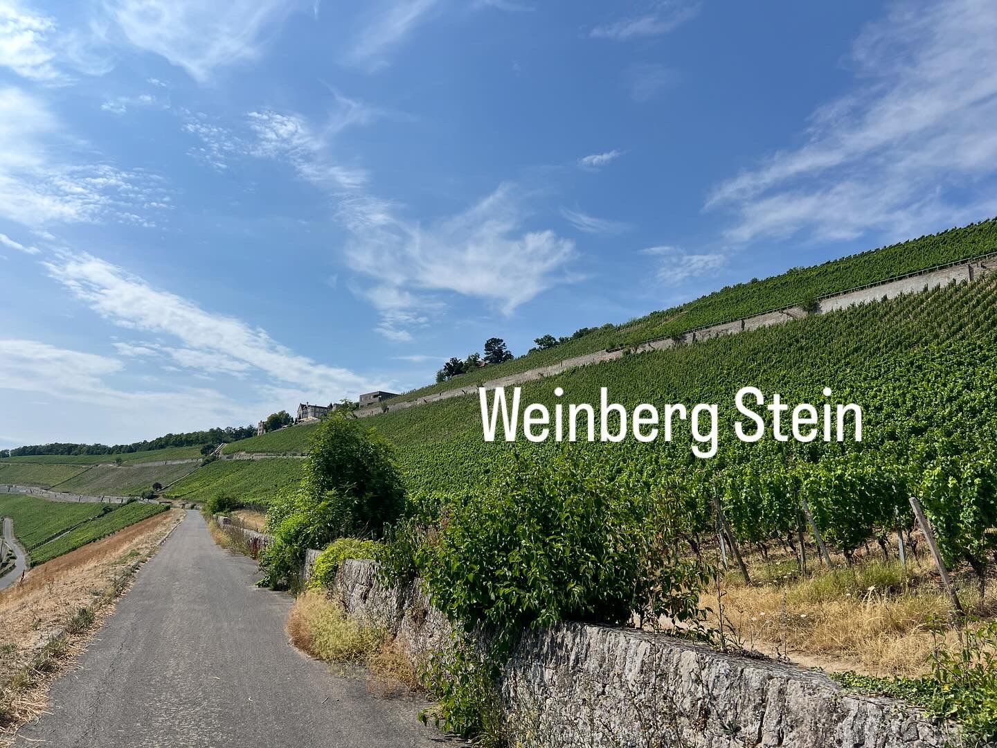
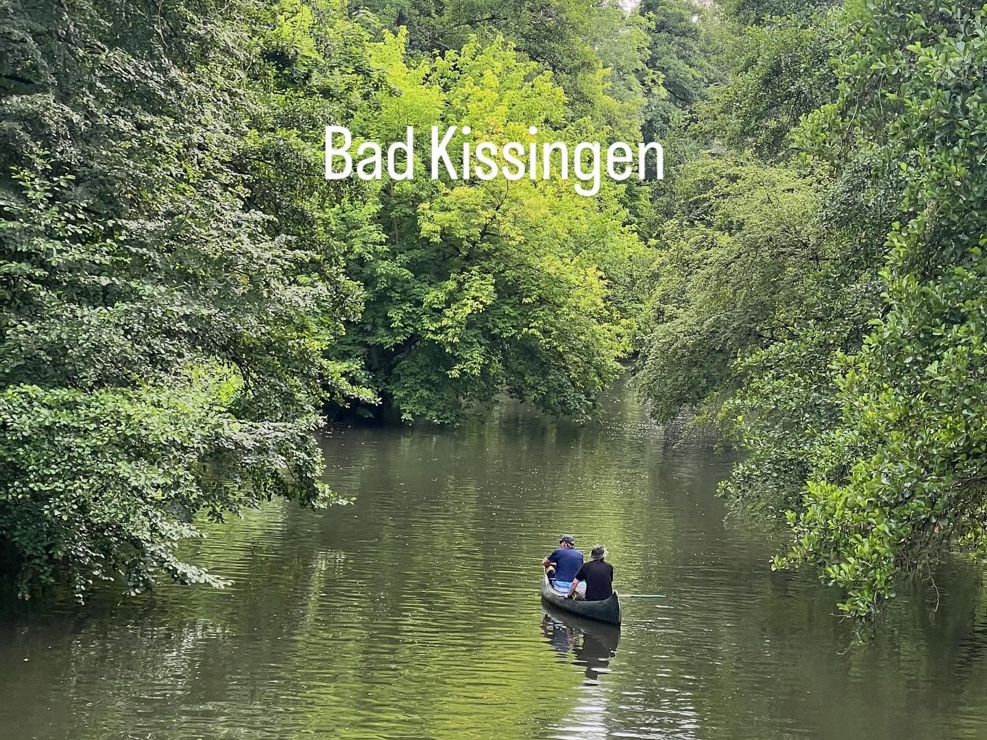
From that very low point, I rode out over the vineyard “Am Stein” as I left the city to the north, collecting elevation and distance, among other things, through the Gramschatzer Forest towards Bad Kissingen. This UNESCO World Heritage site has been developed since the 18th century in competition with Karlovy Vary and Baden-Baden as a world spa and serves as my sleeping place after my first stage.
Want to learn more about the land, people, and peaks? The BR has produced an entire series about the 7 summits of Bavaria: https://www.ardmediathek.de/video/7-gipfel-bayerns/der-hesselberg/br/Y3JpZDovL2JyLmRlL2Jyb2FkY2FzdC9XT046MzM2OTEyNDQ0ODEzX0YyMDIyV08wMDAzODdBMDpjaGFubmVsXzI4MTA3