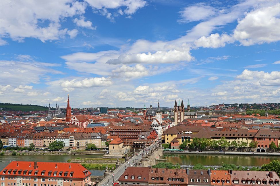

1. Stage: Nuremberg - Bad Kissingen
254 km, 2,390 meters of elevation gain, 8:47 hours in the saddle Summit: Hesselberg 689 meters (Middle Franconia) The route started in Nuremberg, which has been my home for...
Published: 20.07.2025
188 km, 2,594 meters of elevation gain, 7:45 hours in the saddle
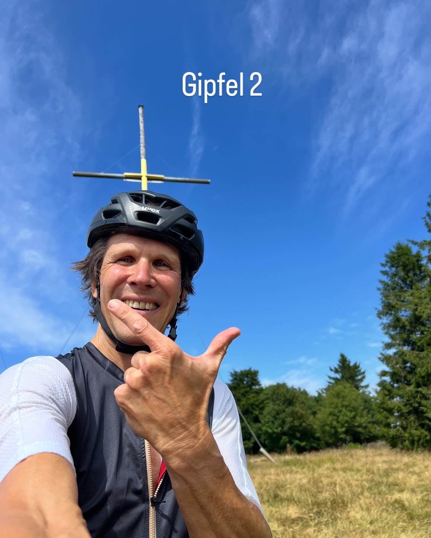
Summit: Kreuzberg 927 meters (Lower Franconia)
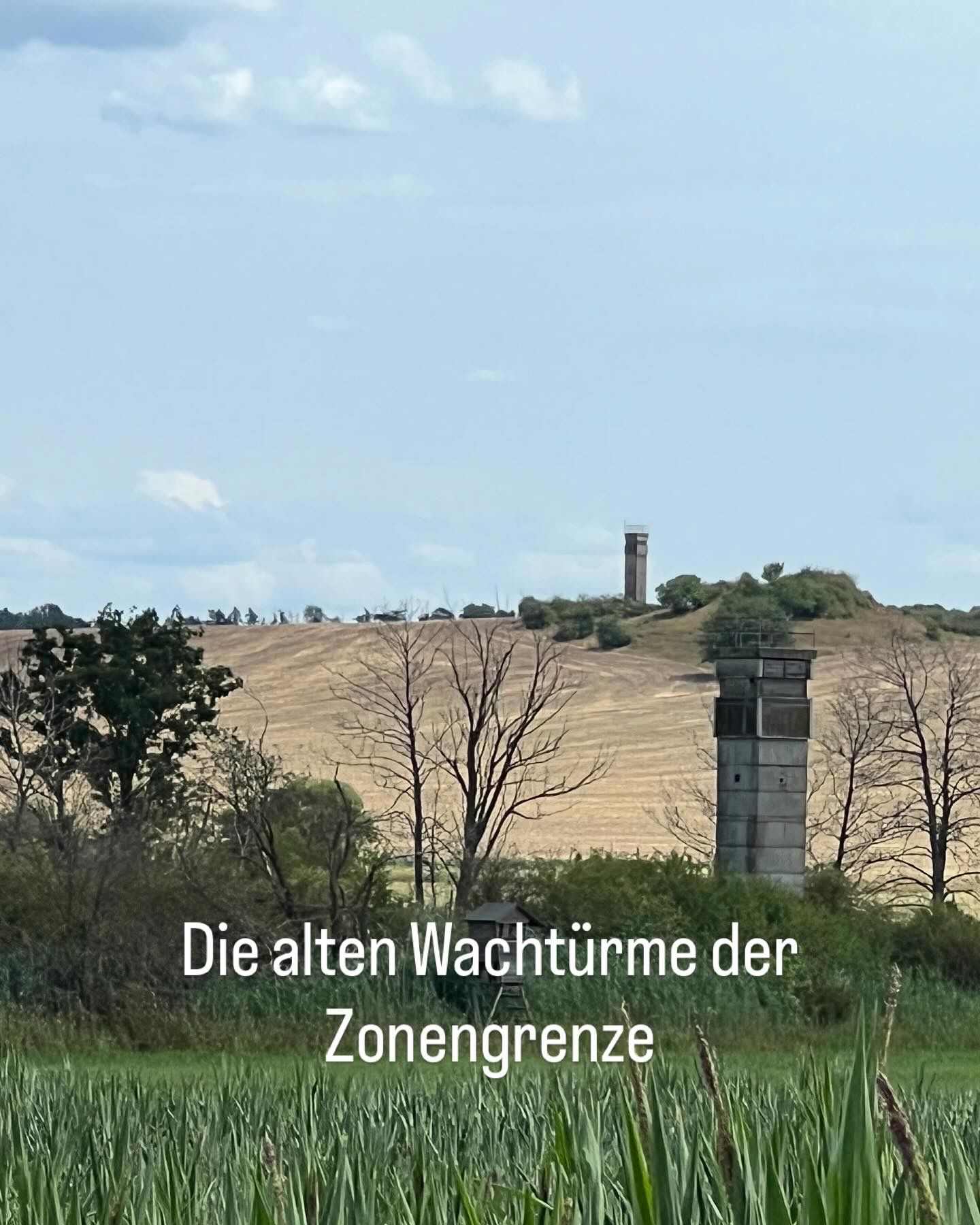
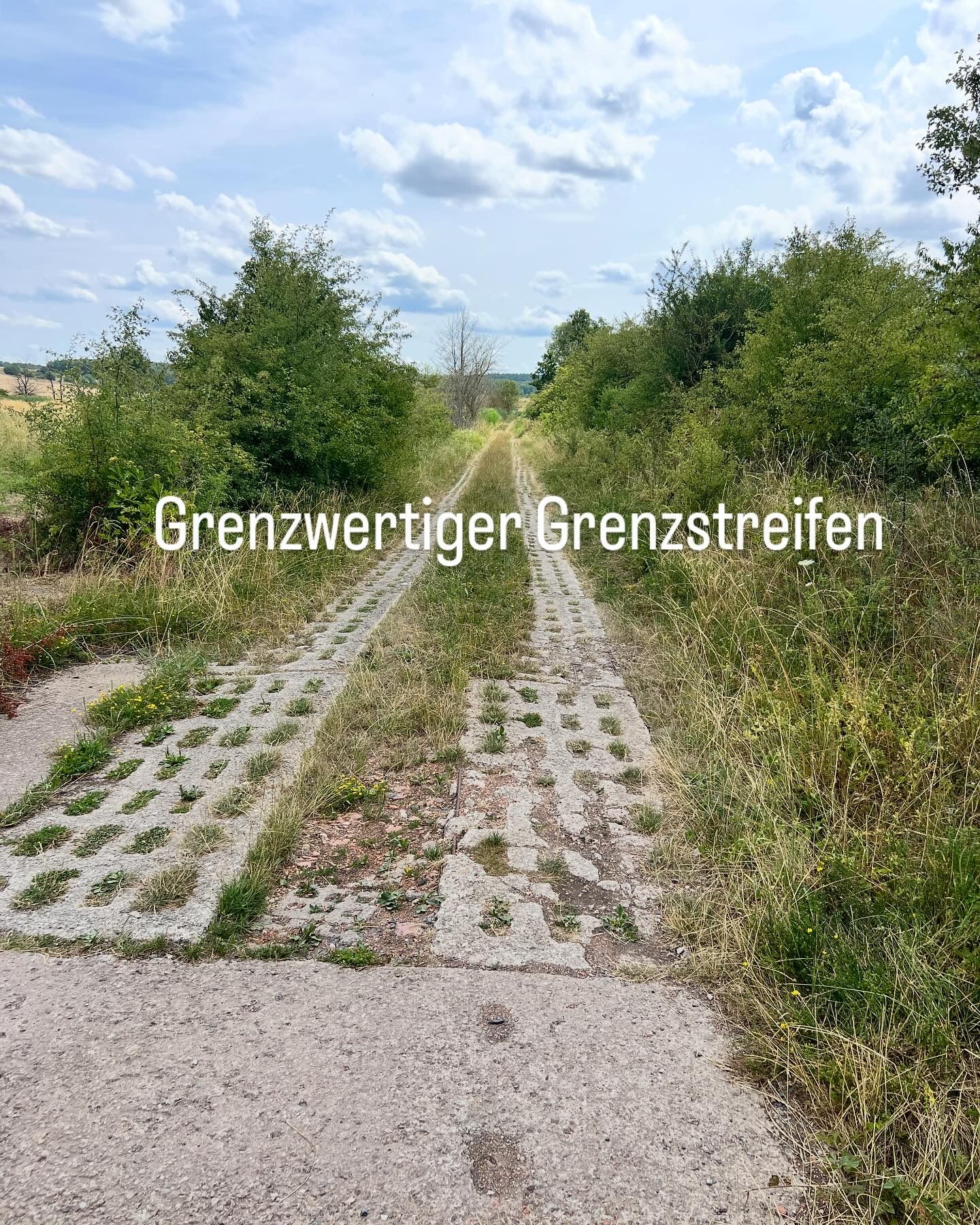
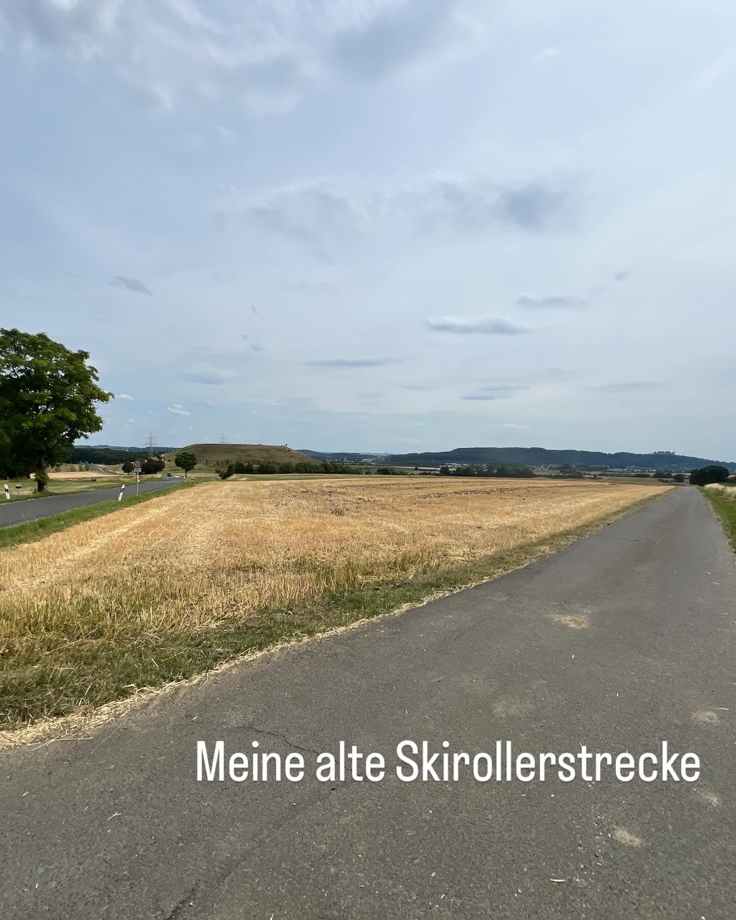
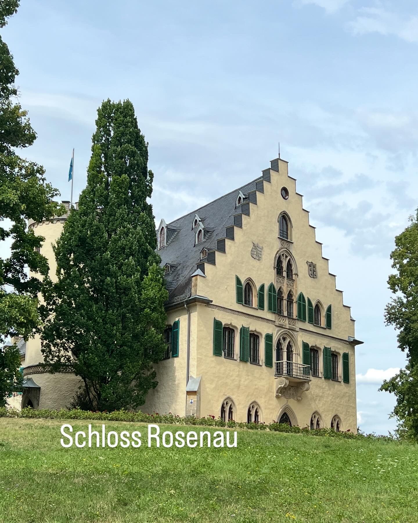
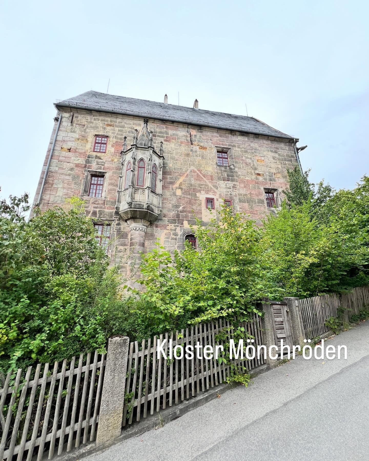
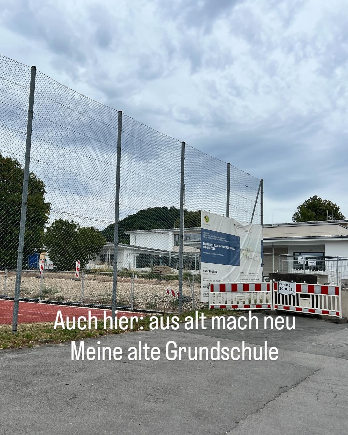
After being completely exhausted by the last 60 km from Würzburg yesterday due to the profile, the high temperature, and especially my over-motivation, I planned to take it much easier today. Ultimately, this was not difficult for me, as the route was truly enjoyable. This was due to both the paths and the intense flashbacks I experienced in the second half, as I rode through my old hometown.
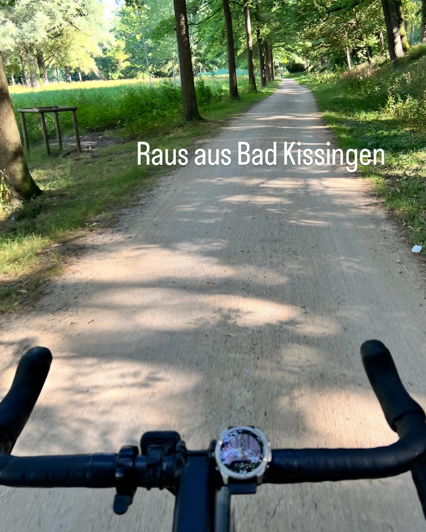
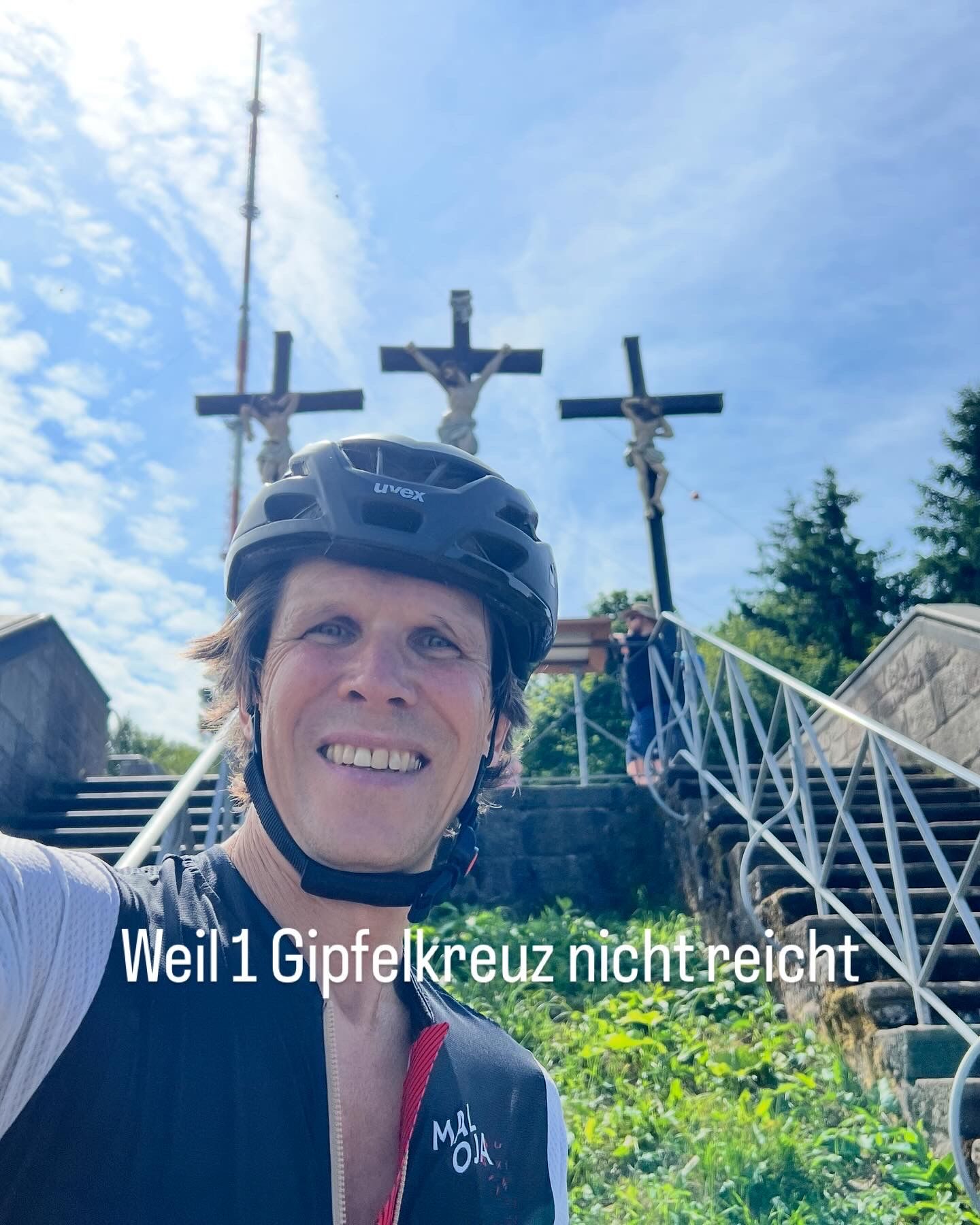
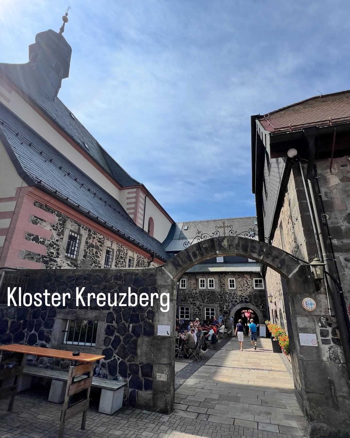
I left the spa town of Bad Kissingen in the northern direction today, despite the summer-like temperatures. After 35 km through the Rhön Biosphere Reserve and the Bavarian Rhön Nature Park, I already reached the day's summit. While the Kreuzberg is reportedly short by 10 - 40 cm (depending on the source) to claim the title of the highest mountain in Lower Franconia, this title belongs to the Dammersfeldkuppe, which is unreachable due to being a military restricted area. The Kreuzberg is known for its monastery built in 1681, which was operated by Franciscan monks until 2021 for 340 years. For the last 4 years, it has been run by diocesan priests, who thankfully continue the 300-year-old culture of brewing beer. I certainly didn't miss out on this delicious treat. Besides a huge summit cross, the Kreuzberg offers three other (