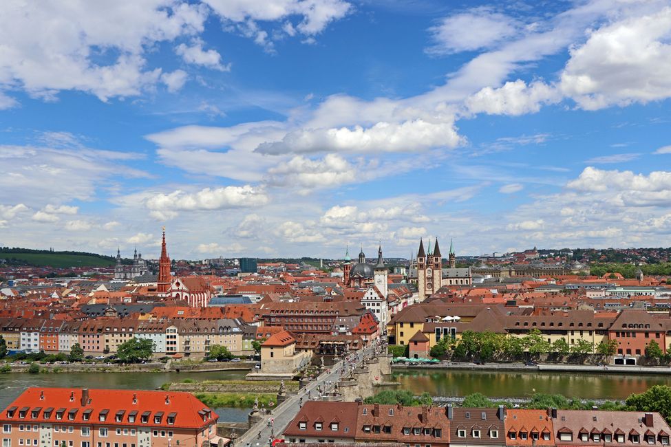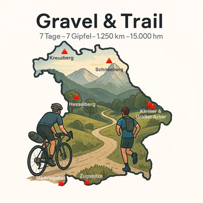


Stage 3: Kulmbach - (Furth im Wald), correct: Bayreuth
82 km, 1,518 meters of elevation, 3:50 hours in the saddle Summit: Schneeberg 1,051 meters (Upper Franconia) Has the entire endeavor failed? Due to ongoing heavy rain and poor...
Published: 22.07.2025
183 km, 1,946 meters of elevation, 8:10 hours in motion
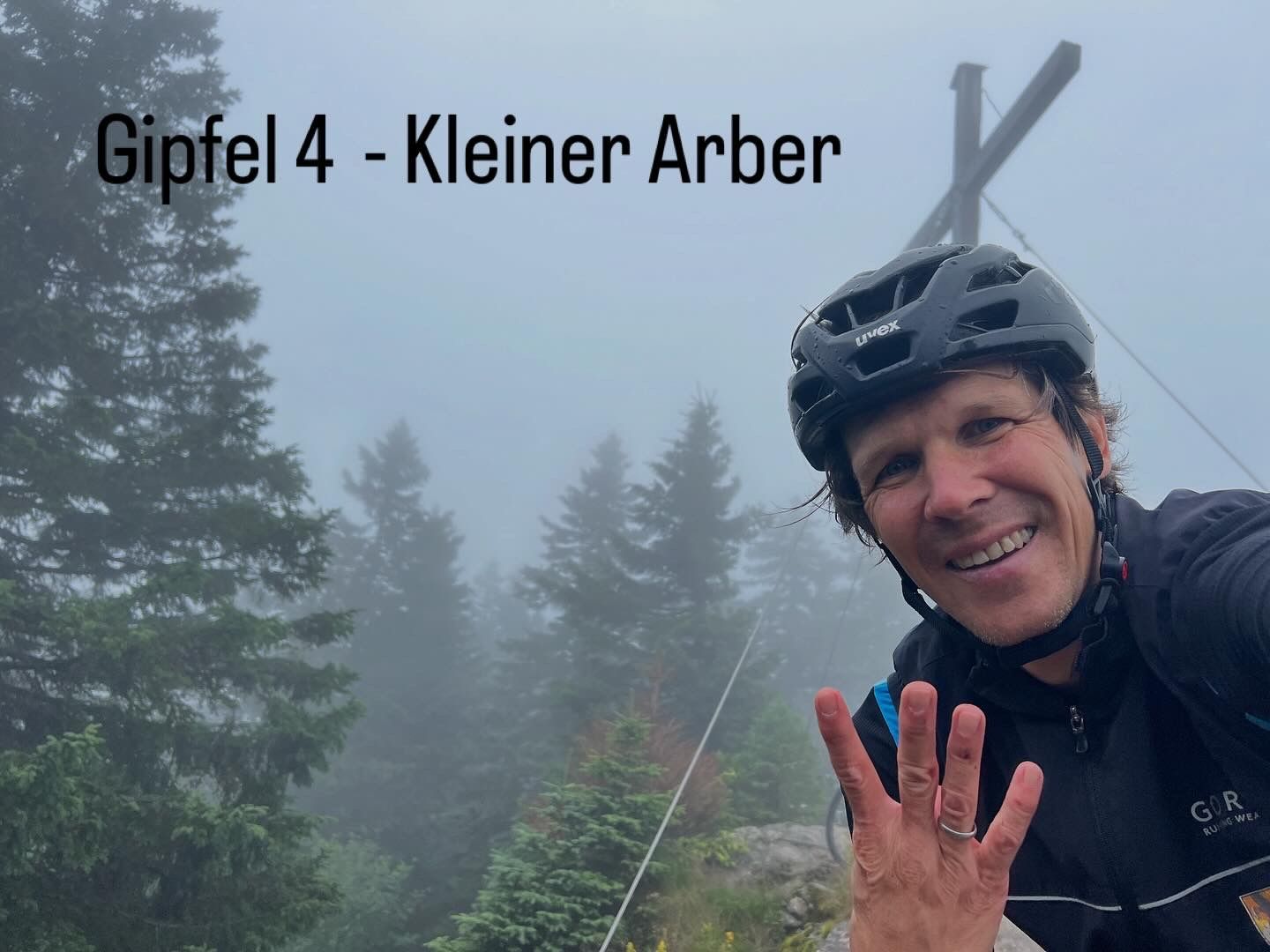
Summit: Kleiner Arber 1,384 meters (Upper Palatinate)
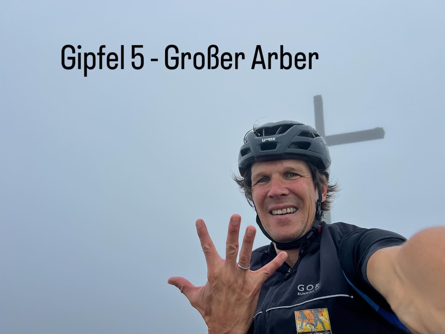
Großer Arber 1,455 meters (Lower Bavaria)
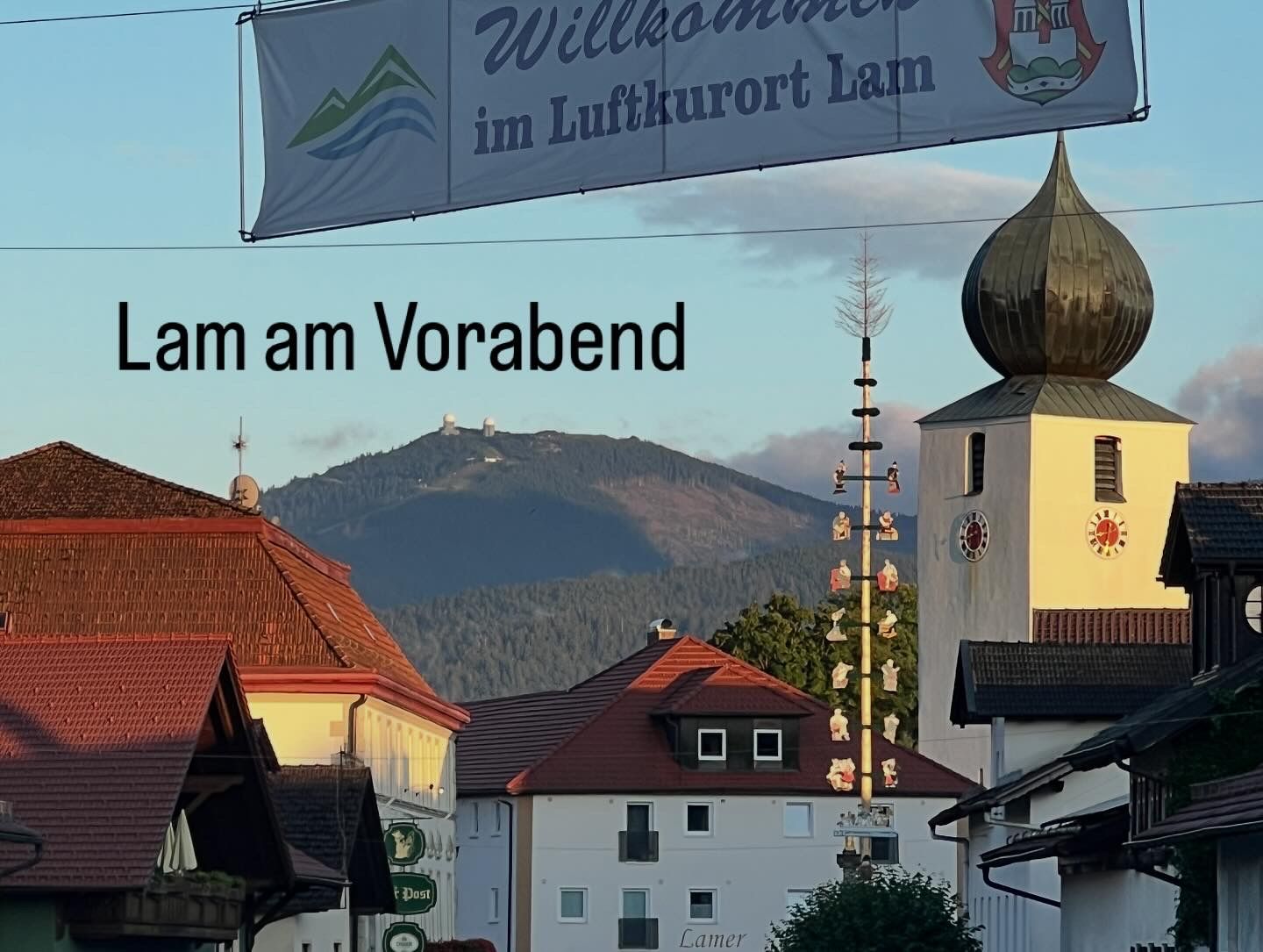
For “reconciliation,” the sky opened up late last night and allowed me a glimpse of the Großer Arber. This morning everything was overcast again, but I still had hope of getting through it dry. Wow, what a ride it was. Seemingly endless, as the Arber took more time than expected, crazy weather changes hit me, and the measly 110 km along the Isar had the wind blowing into my face.
But from the start: Today, two summits were on the agenda. While planning, I wondered what the highest mountain in the Upper Palatinate could be, and I was surprised that it is the Kleiner Arber. The highest peaks of the Upper Palatinate and Lower Bavaria are thus only connected by a small dip, which keeps the elevation gain on this stage limited.
I started my journey in Lam and saved myself the kilometers from the dragon city Furth im Wald. My battle against the weather was enough; I didn't need to deal with a dragon as well… 😉
Before getting started, I had my brakes fixed at the local bike shop. Then it was off, and soon I found myself climbing steeply towards Kleiner Arbersee. Here I also encountered the markings from the recently held U.TLW. Lam is well-known among trail runners. The U.TLW celebrated its 10th anniversary this year. At its premiere, I unfortunately had to cancel due to injury, but I didn't miss the chance to soak up the great atmosphere of the perfectly organized event along the route. Unfortunately, I never had the opportunity to stand at the starting line again.
Regarding my memories, I prepared for some pushing and carrying sections in terms of my route. However, they turned out to be significantly longer than expected.
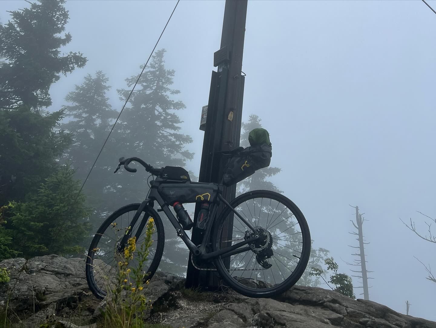
The two summits differ little in rock type from yesterday's. Here, too, granite rock formations can be found, and as I've learned, gneiss and schist. Here it is still more of a hill area than alpine terrain - and the Großer Arber, like Schneeberg, is characterized by a large radar station - which is still operational.
Not in the already visible (if the weather were better) white radar dome, but deep inside the Großer Arber is said to lie a golden palace where a sleeping king rests with his retinue. When Bavaria is in dire need, they are supposed to awaken - until then, our Markus can handle it. ;-) At the top, the Arbermandl, the characteristic rock formation, watches over. According to legend, these are enchanted mountain spirits or petrified shepherds that come to life at sunset.
By sunset, I wanted to be in Freising and was looking forward to the stretch ahead that mostly went downhill - and brought me out of the cold, extremely windy, and foggy Arber region.
To save time and elevation, I skipped the detour to Bretterschachten, the cross-country skiing center above Bodenmais. However, memories of numerous outings on cross-country skis came rushing back.
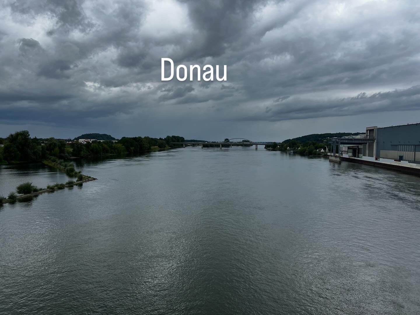
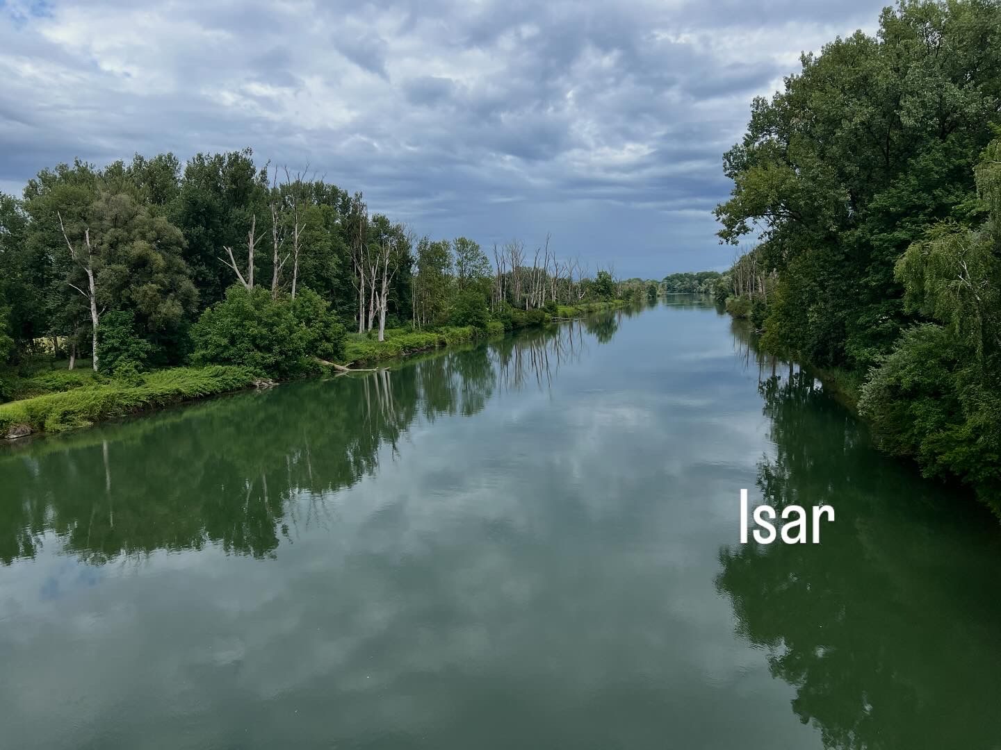
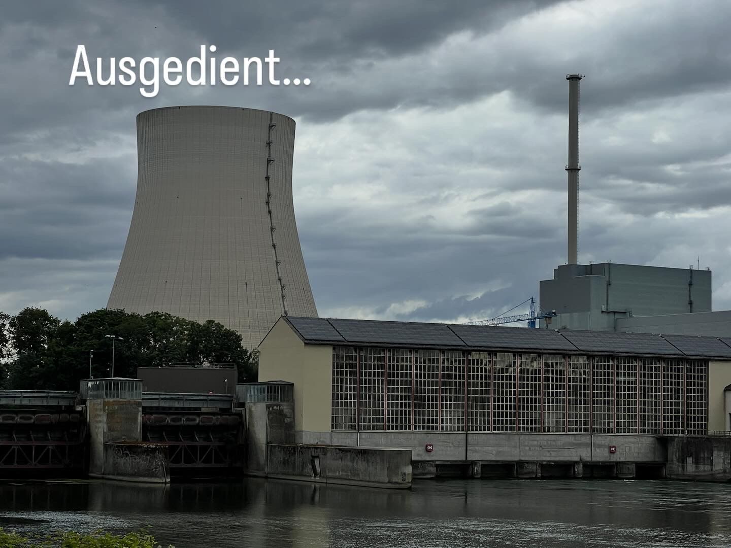
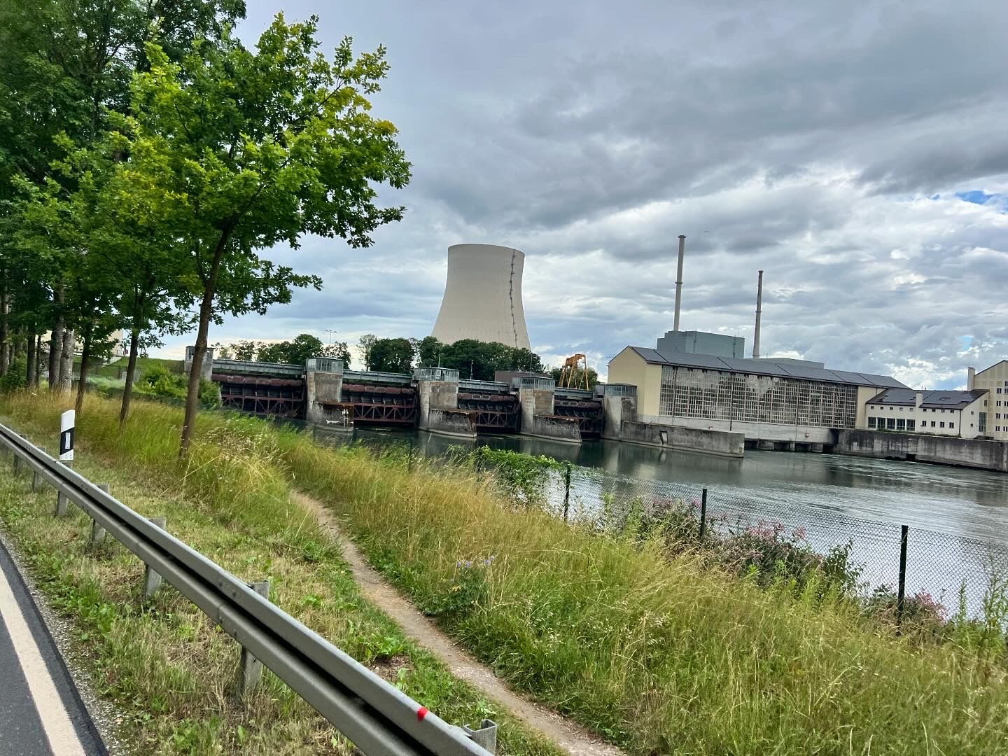
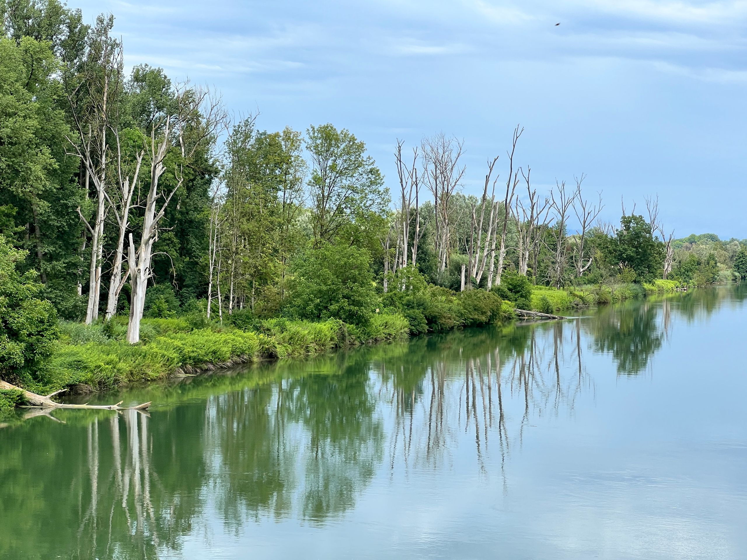
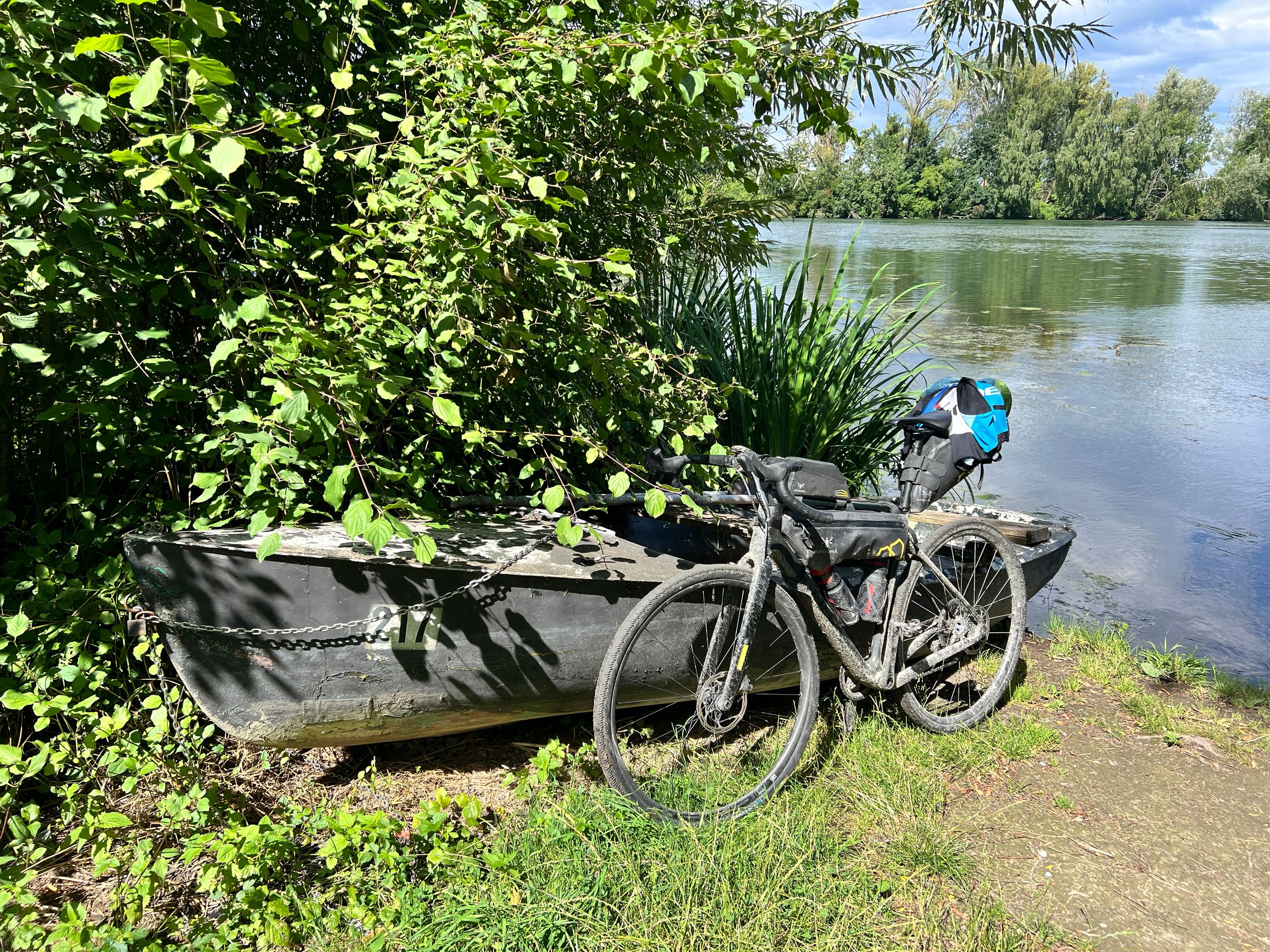
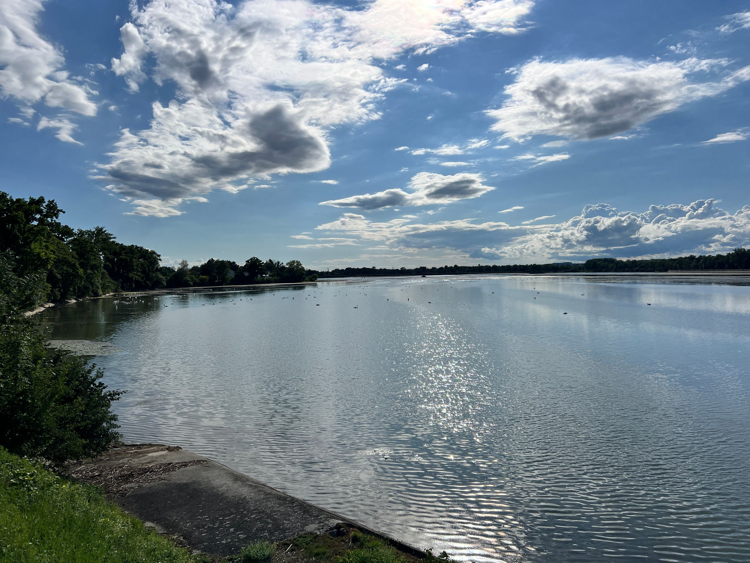
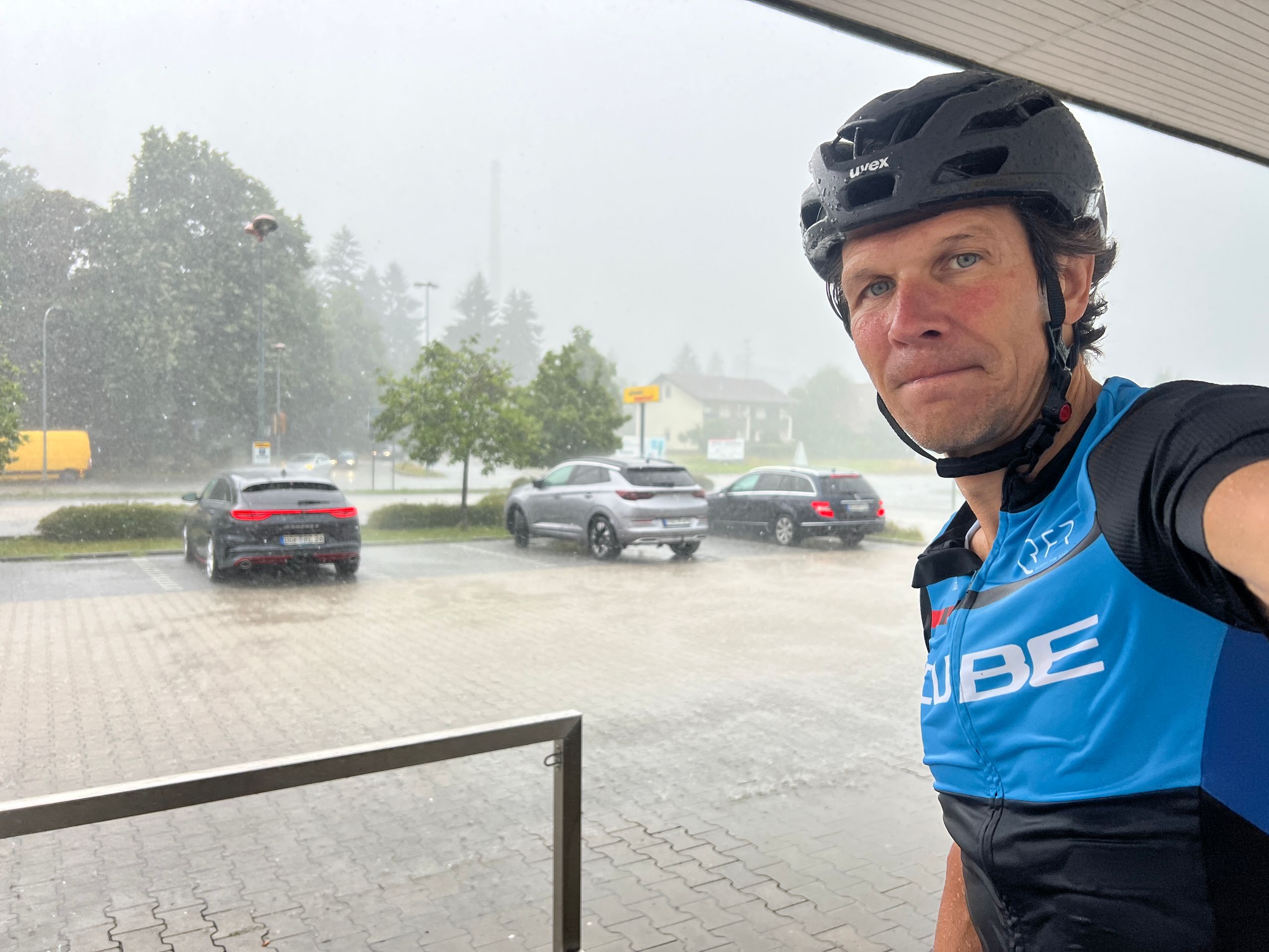
From Bodenmais, I gradually moved away from the Czech border, and the Bavarian Forest also became progressively flatter. Unfortunately, I was caught by two heavy rain showers before Deggendorf. In Deggendorf, by the banks of the Danube, I finally reached the lowest point of today's stage. I crossed the second longest river in Europe, leaving not only the Danube city but also the Bavarian Forest behind me. Just before Plattling, the sky darkened. So, I planned to stop in the city and wait for the storm to pass. I didn't make it that far. At the city limits, the sky opened up, and I experienced the strongest rain shower of all time. Under an awning, I got something dry over me and stretched my jersey over my “butt rocket” to dry. The rain eased off, and even a bit of sunshine came out. From now on, I headed west along the Isar River for the next 110 km.
The Isar is practically my destination river, originating just a few kilometers from my goal, the Zugspitze, with its 292 km long waterway navigable only by rafts.
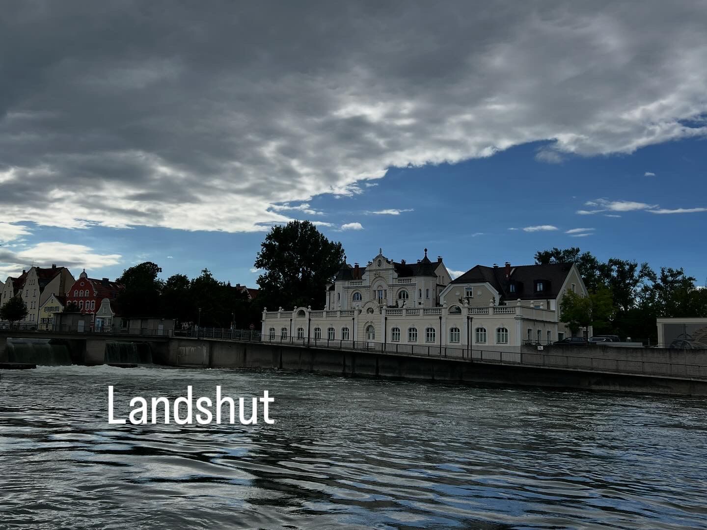
A varied landscape, the Isar has truly countless faces, led me past several reservoirs, through beautiful villages, initially through the administrative seat of the Lower Bavaria government district, Landshut. “Landeshut,” for “hat and protection of the land,” was first mentioned in 1150 and is known for the historical event “Landshuter Hochzeit,” which reenacts the marriage in 1475 of the Bavarian Duke Georg the Rich with the Polish princess Hedwig. A truly dreamlike beautiful town, and I almost regret that this is not, as originally planned, my destination for the stage. But due to the last-minute change for tomorrow's stage with one more km, I decided on Marzling.
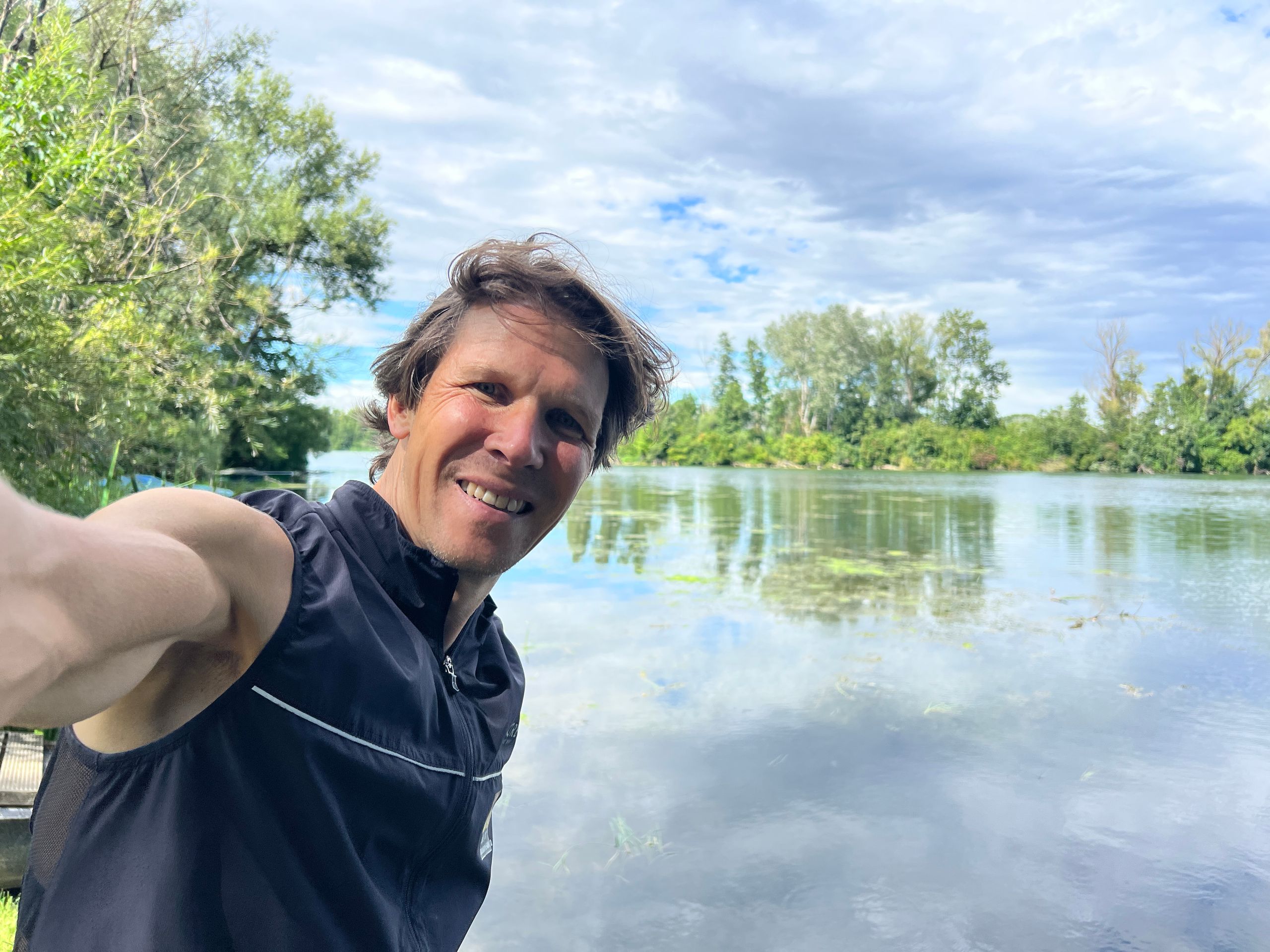
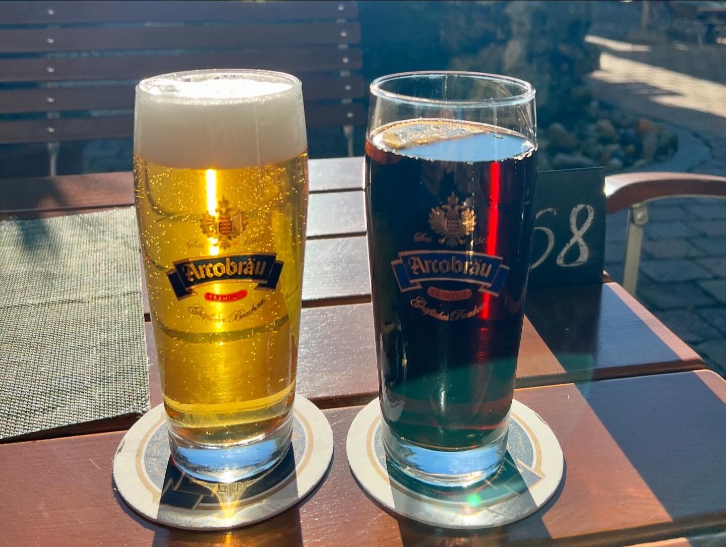
Now less than 40 kilometers separated me from Marzling near Freising, and finally the sun showed itself from its best side! From last year, when I made a stop here on my tour (off the beaten path) to Lake Garda, I was very familiar with the Hotel Gasthof Nagerl with its beer garden, and the anticipation of a cold Helles prompted me to bring the stage to a good finish.
Want to learn more about the land, people, and summits? The BR has produced an entire series on the 7 peaks of Bavaria (Kleiner and Großer Arber):