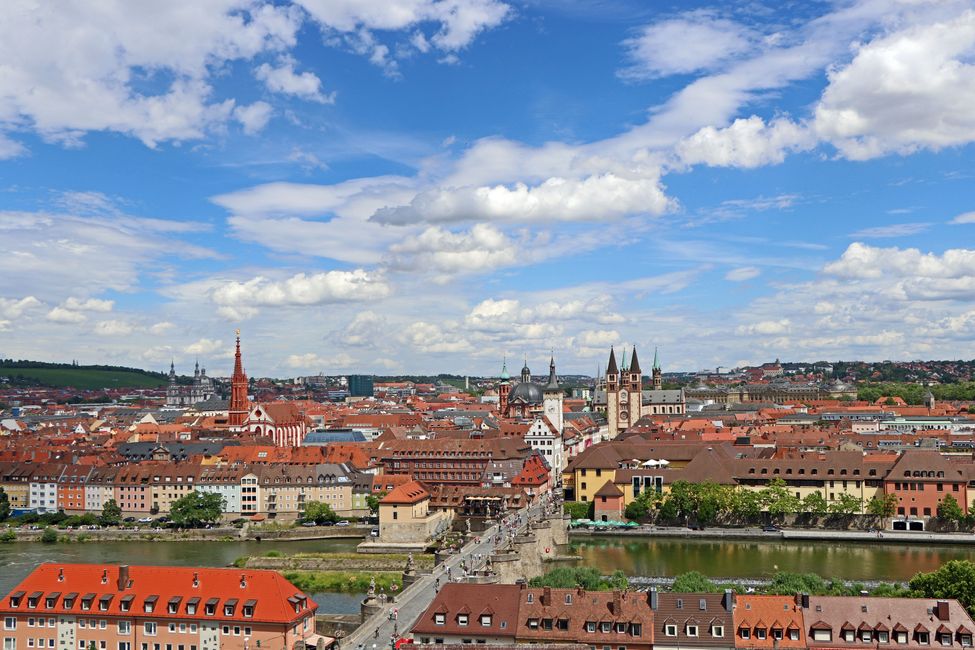
PUGLIA the Italian heel
Well-known are Venice, Rome, Florence, Milan, all those wonderful Italian metropolises. Bari, Brindisi, or even Lecce are not necessarily the places that come to mind when one...


Published: 05.05.2026
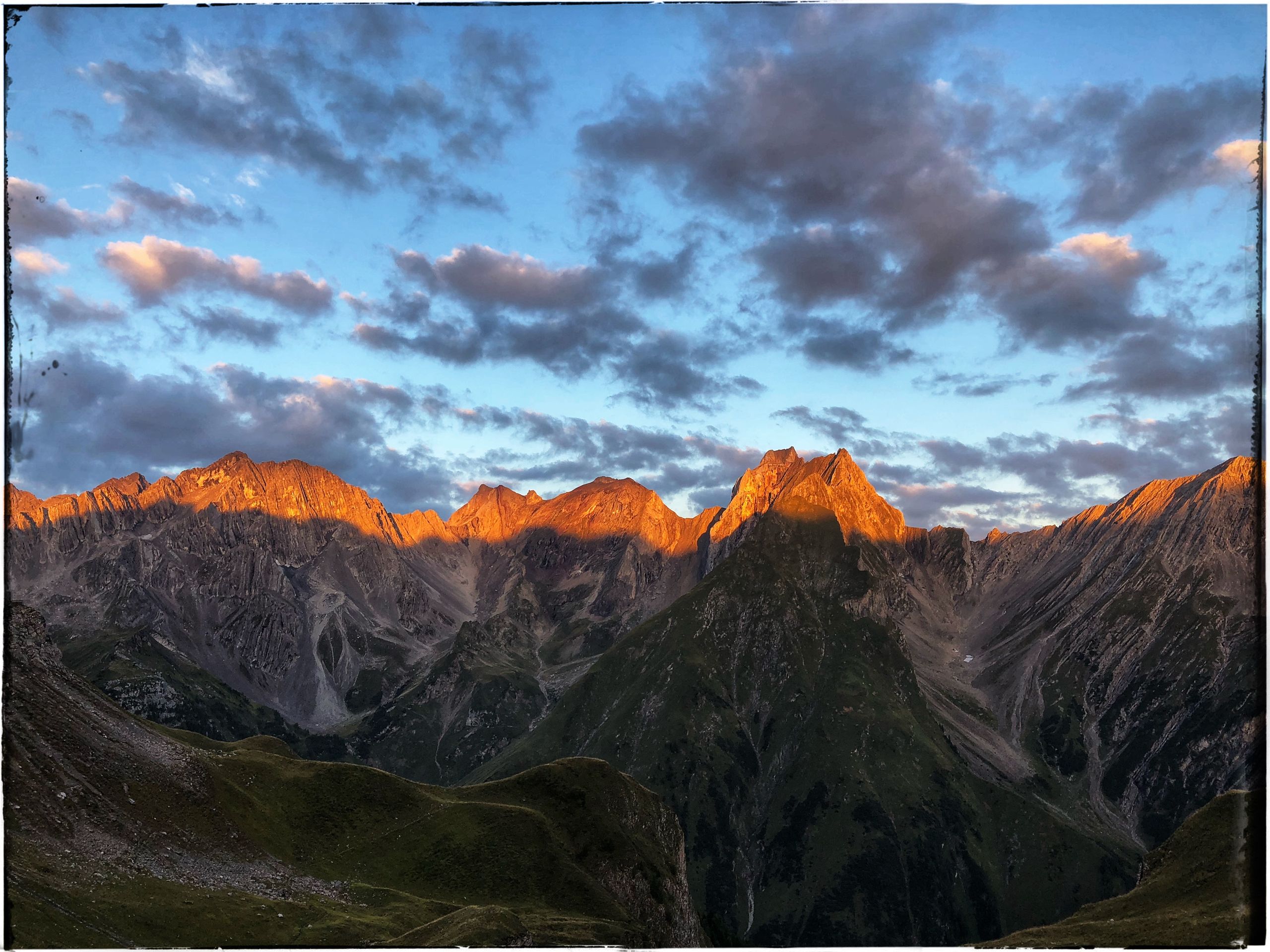
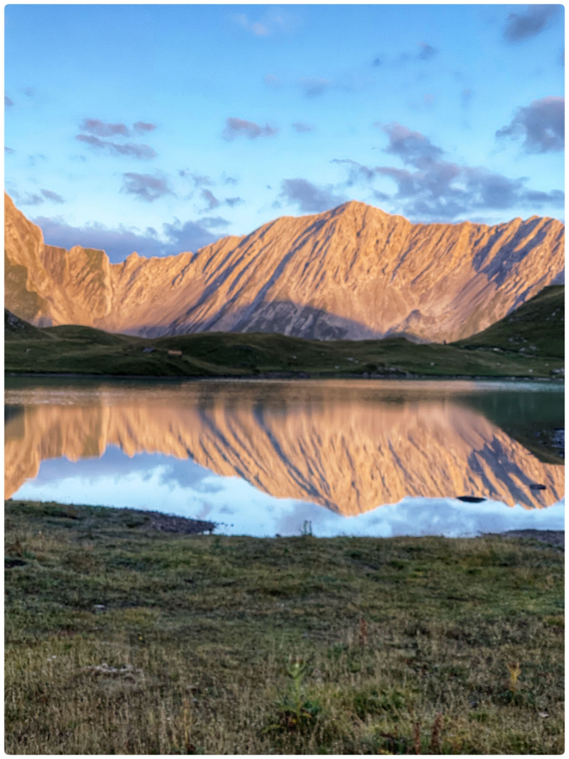
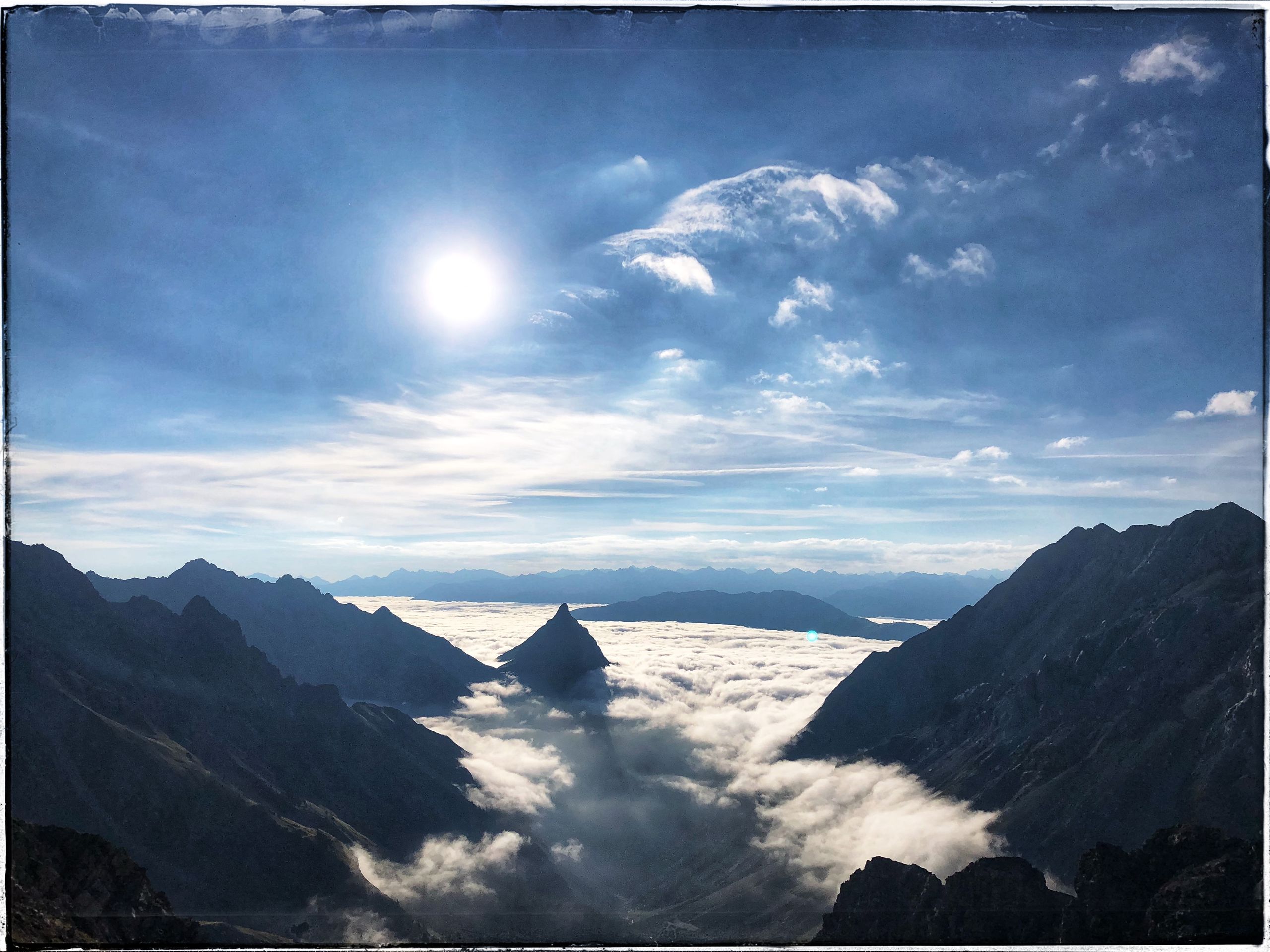
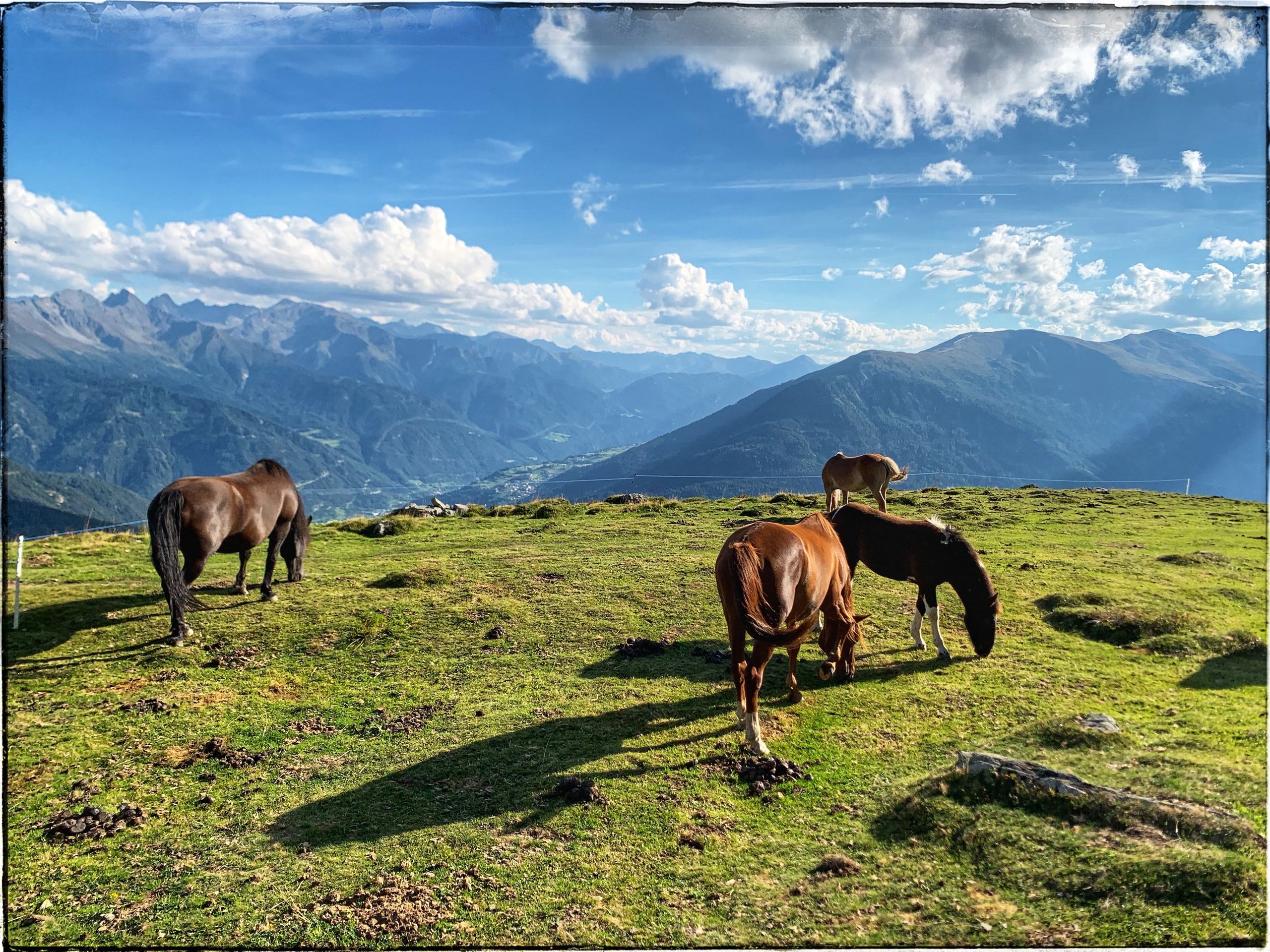
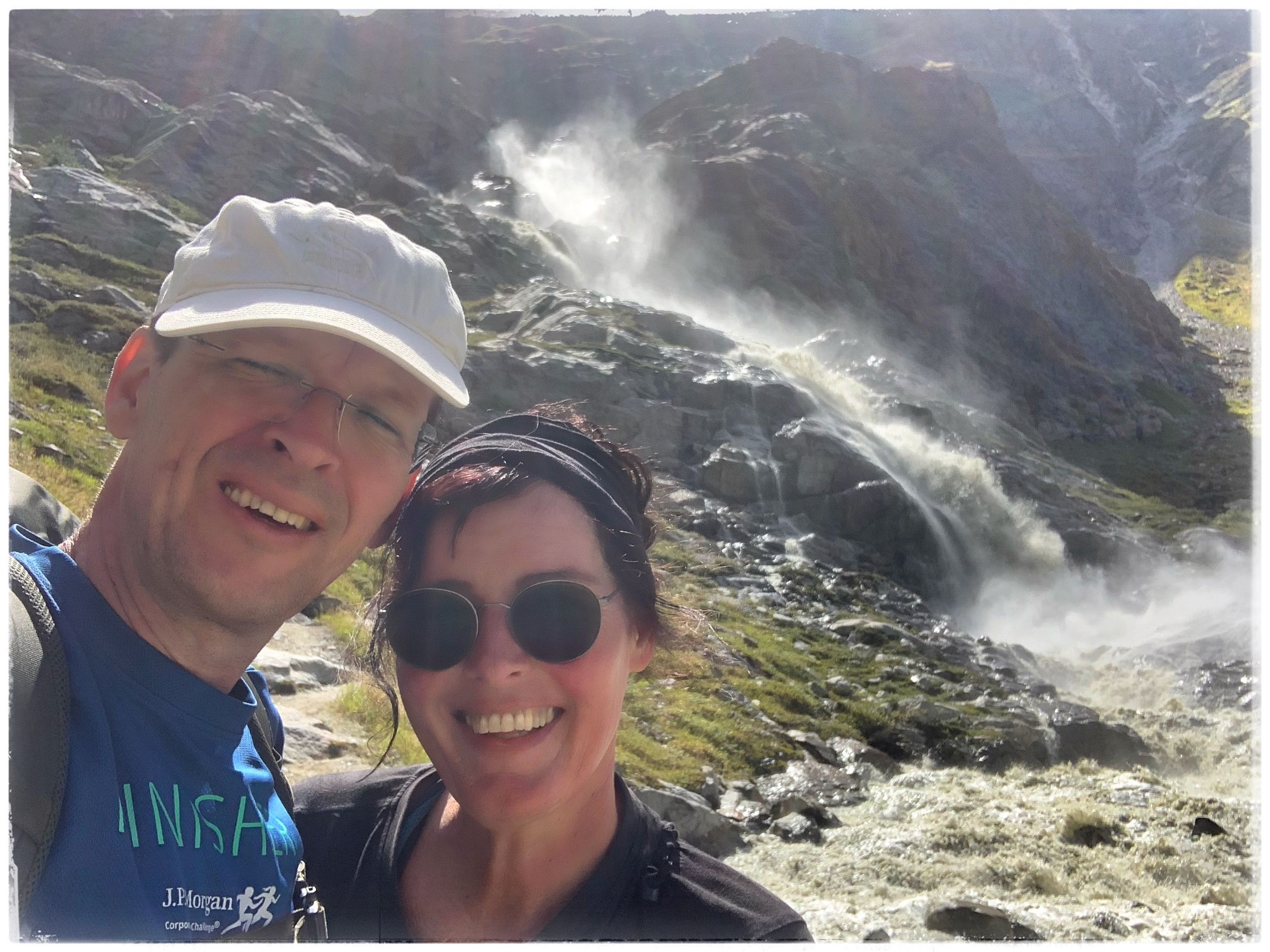
There are nearly twelve European long-distance hiking trails. The E5 begins at the Atlantic coast in France/Brittany and stretches all the way to Verona in Italy. It spans a total of 3200 km, with the trail sections in the Alpine region being the best marked. Our hike goes through three countries and six valleys.
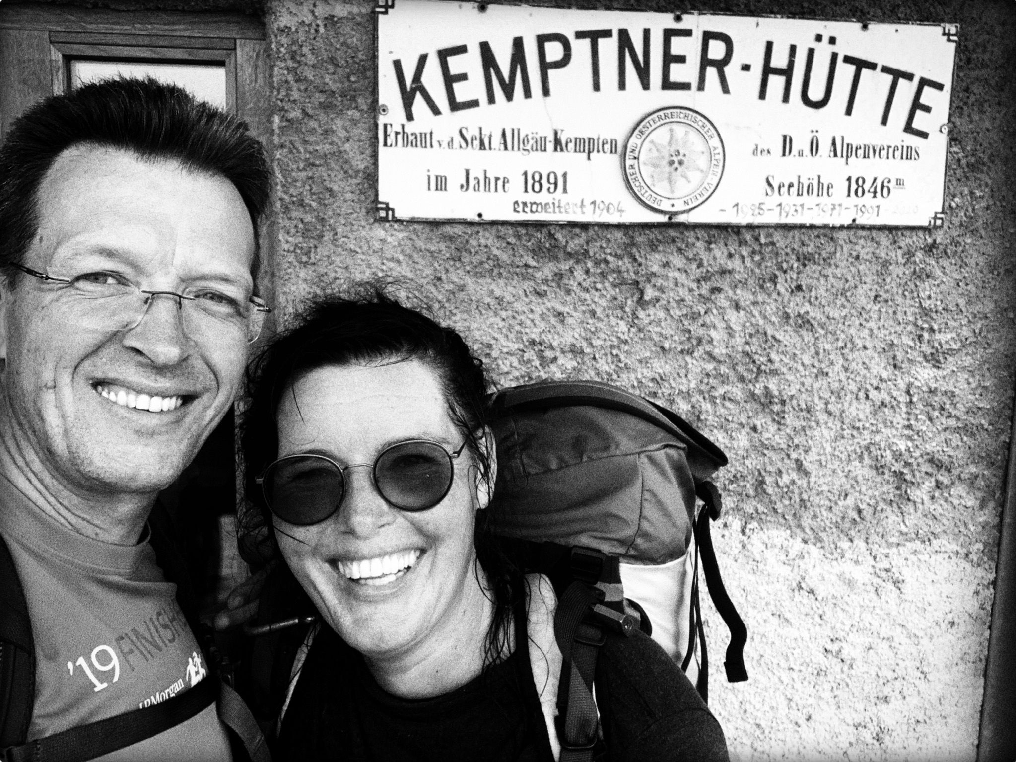
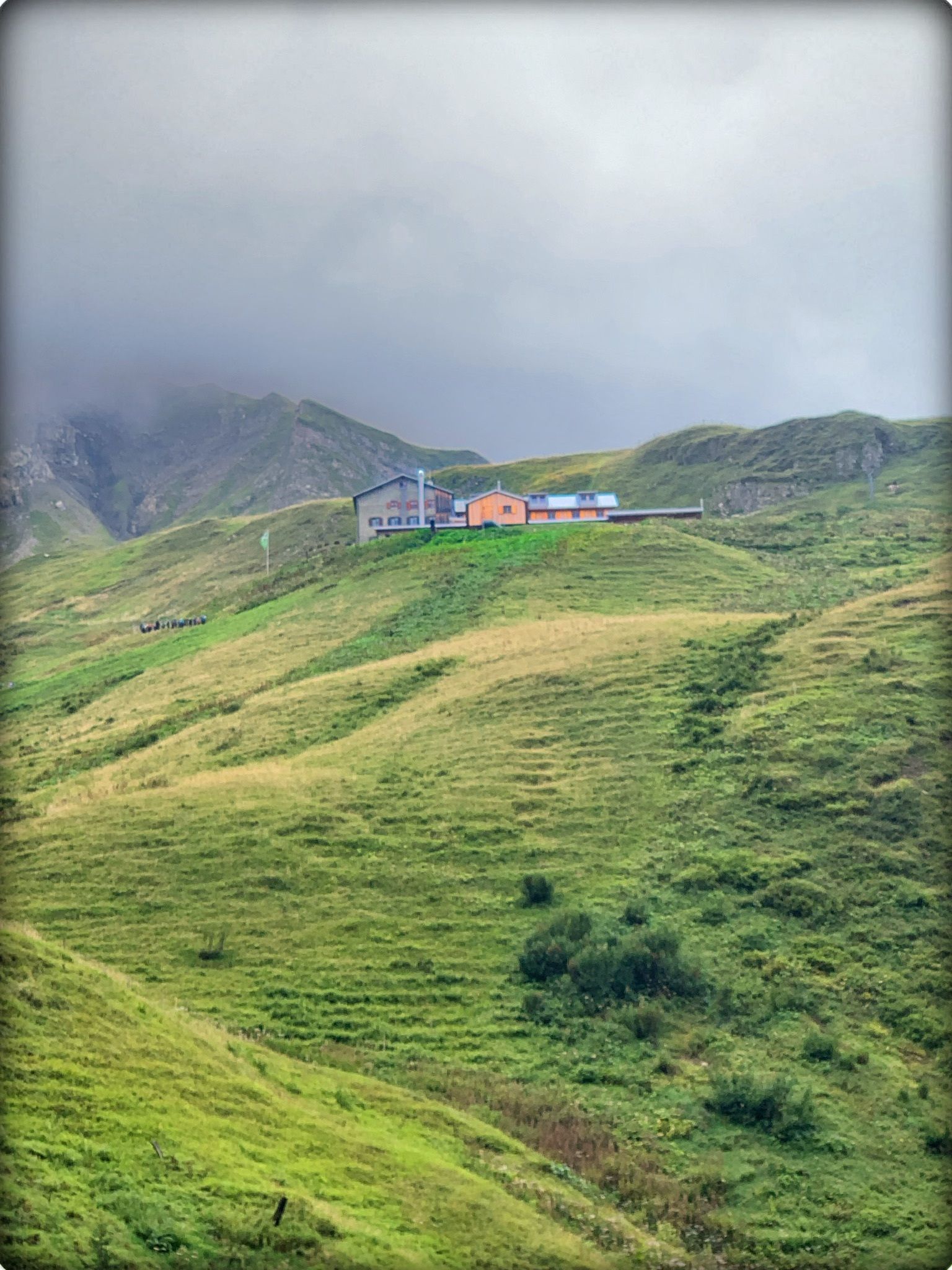
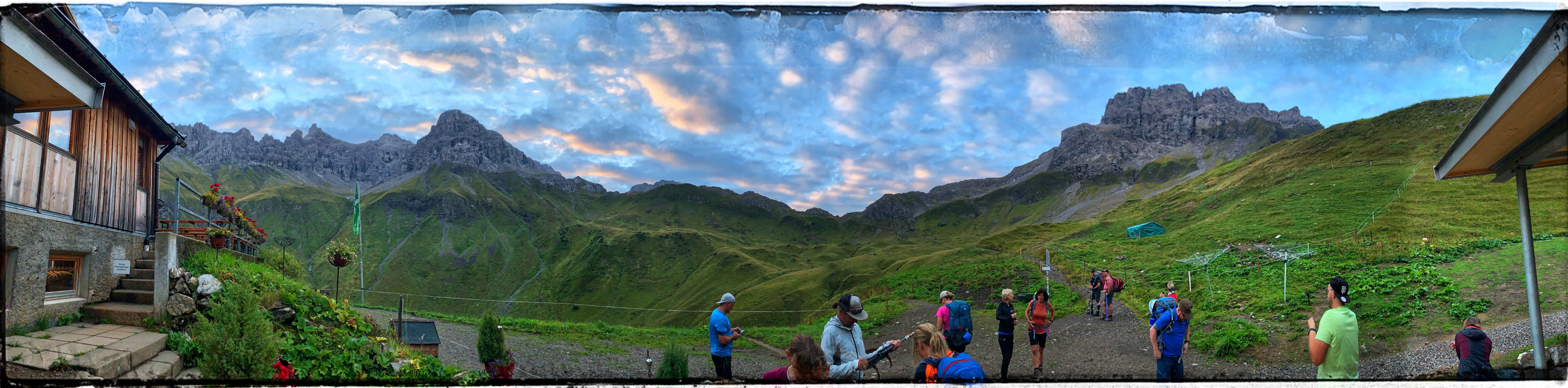
The first stage begins in Oberstdorf, passing through the mountain guesthouse Spielmannsau to the Kemptner Hütte at 1844 m. A great introduction to the following days.
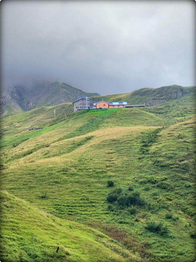
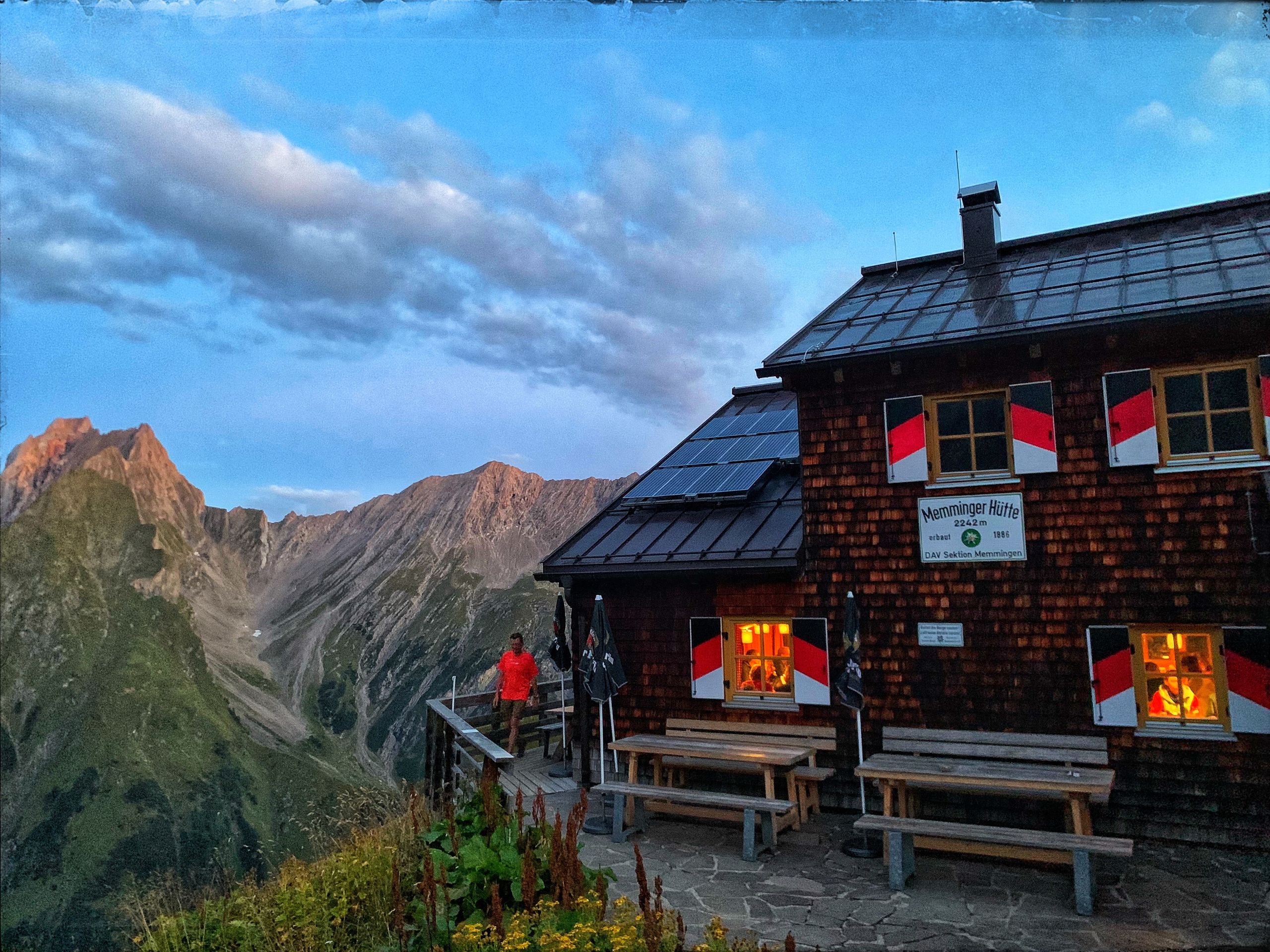
On the next morning, we set off to Memminger Hütte.
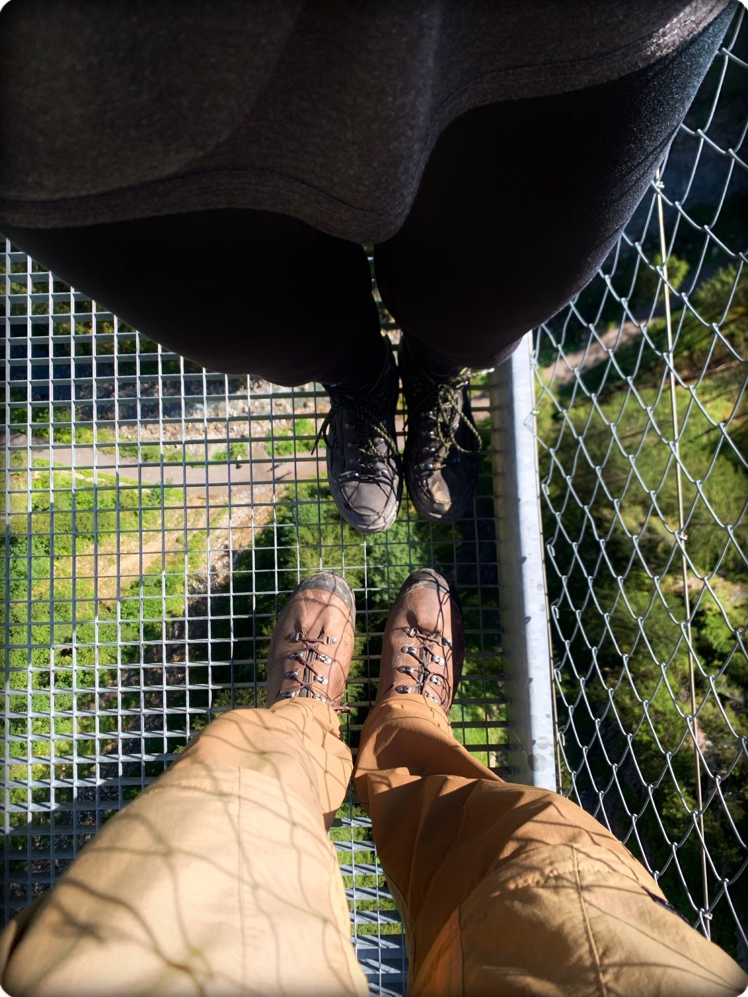
Over the Mädeljoch, Café Uta, and the Holzgauer suspension bridge, we head to the taxi bus that takes us to Madau.
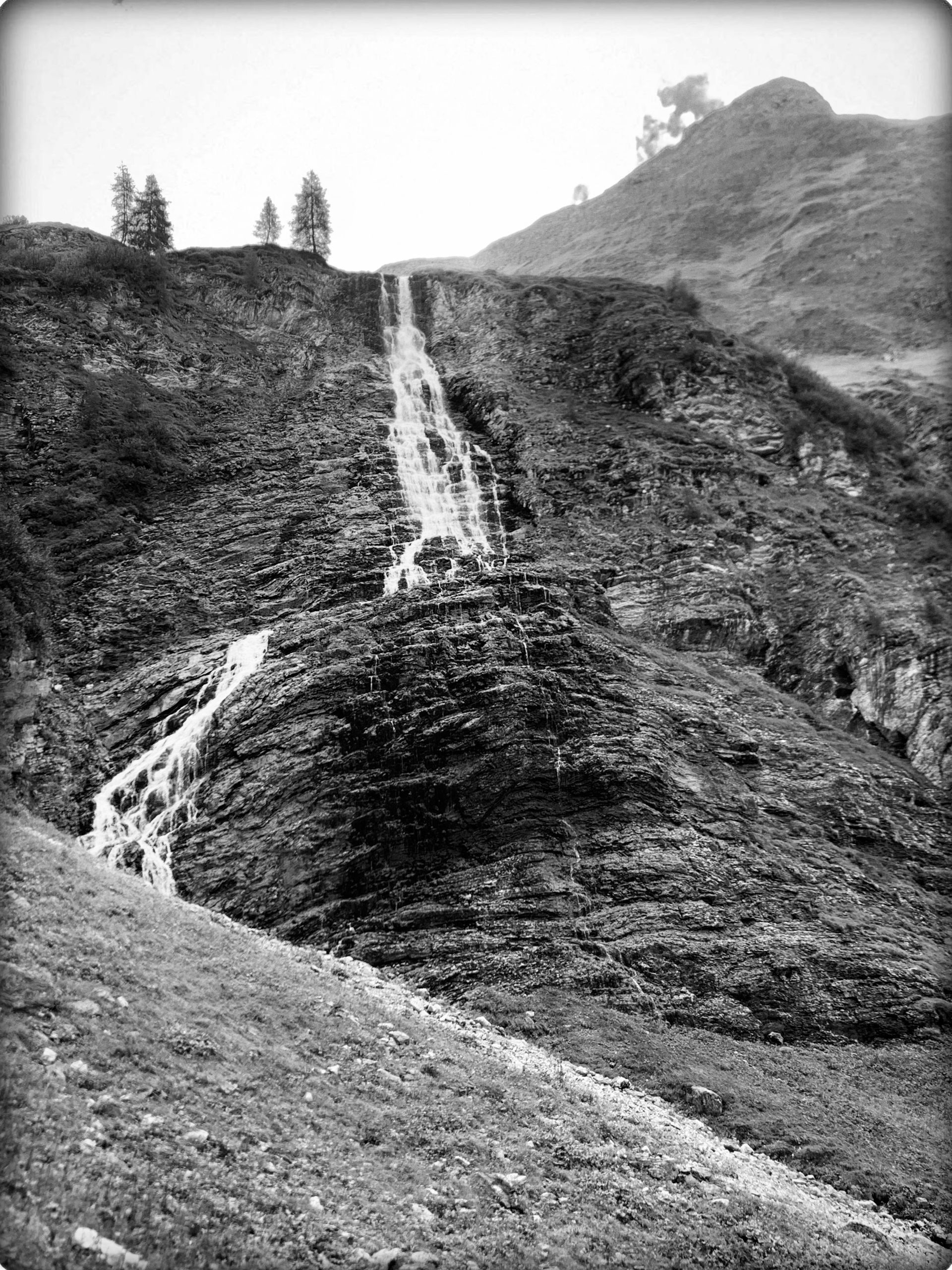
The path runs alongside the Parseierbach, passing the Parseier waterfall. Despite the warning sign, we naturally took a break there, which did have consequences.
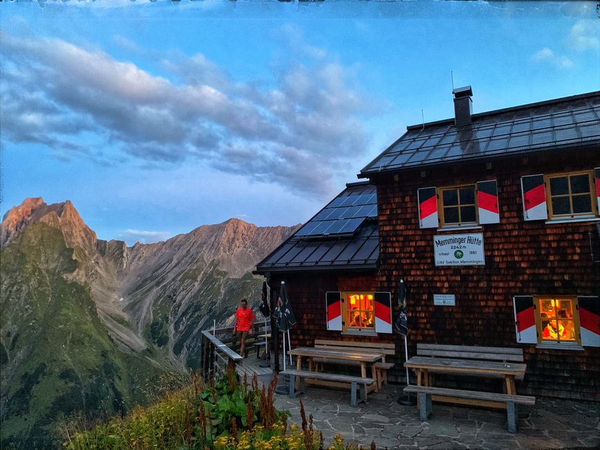
The Memminger Hütte is located at 2242 m and is surrounded by marmots near the Seekogel, Seekopf, and Seewiese.
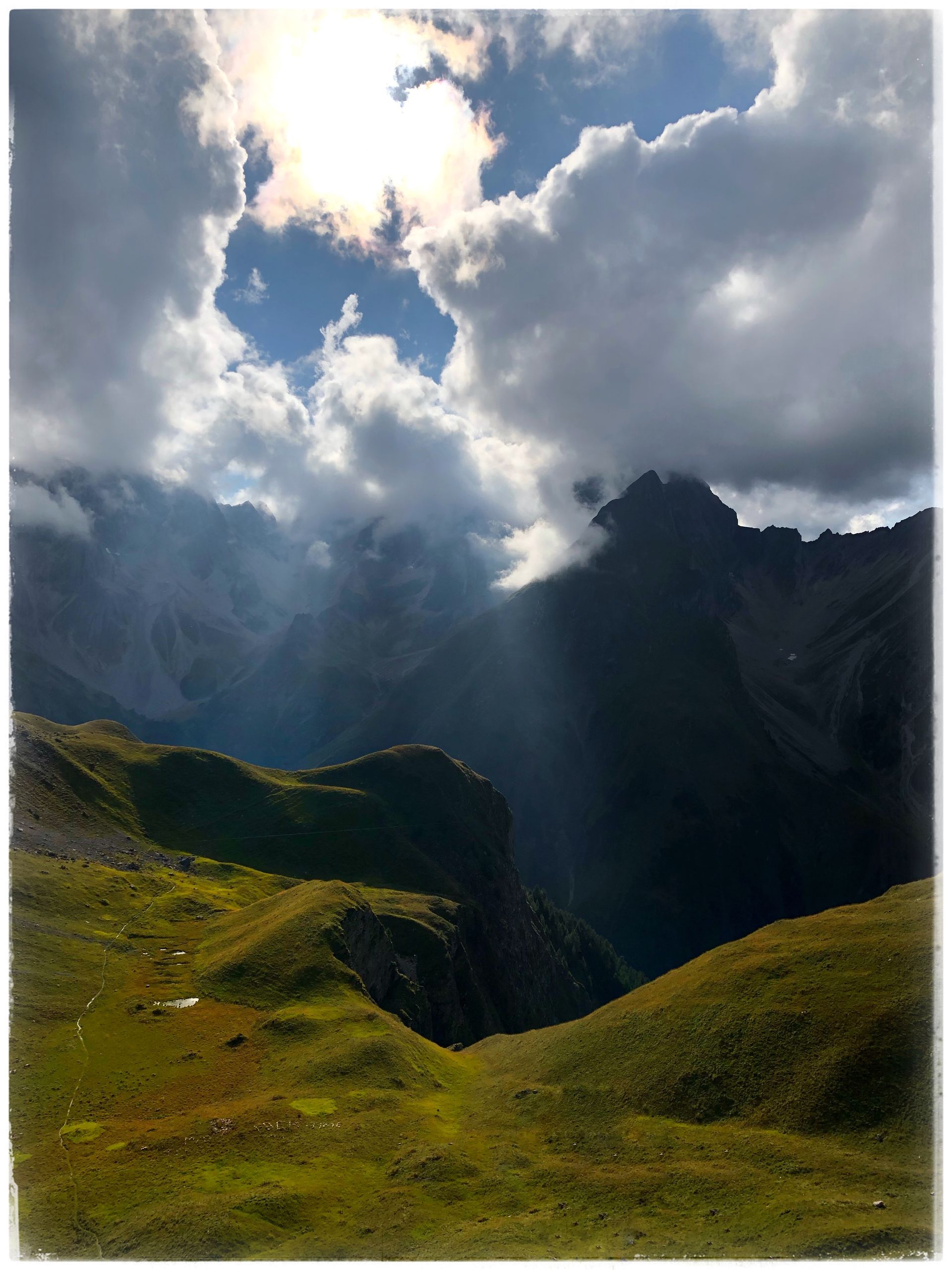
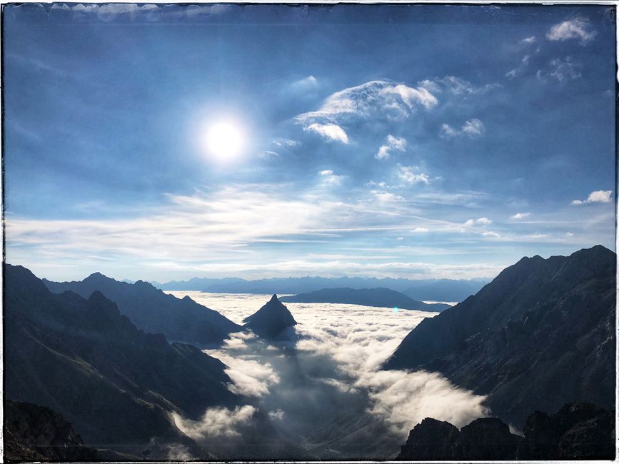
After a wonderful breakfast, the king stage begins. We ascend to the Seescharte where we are rewarded with a view into the valley.
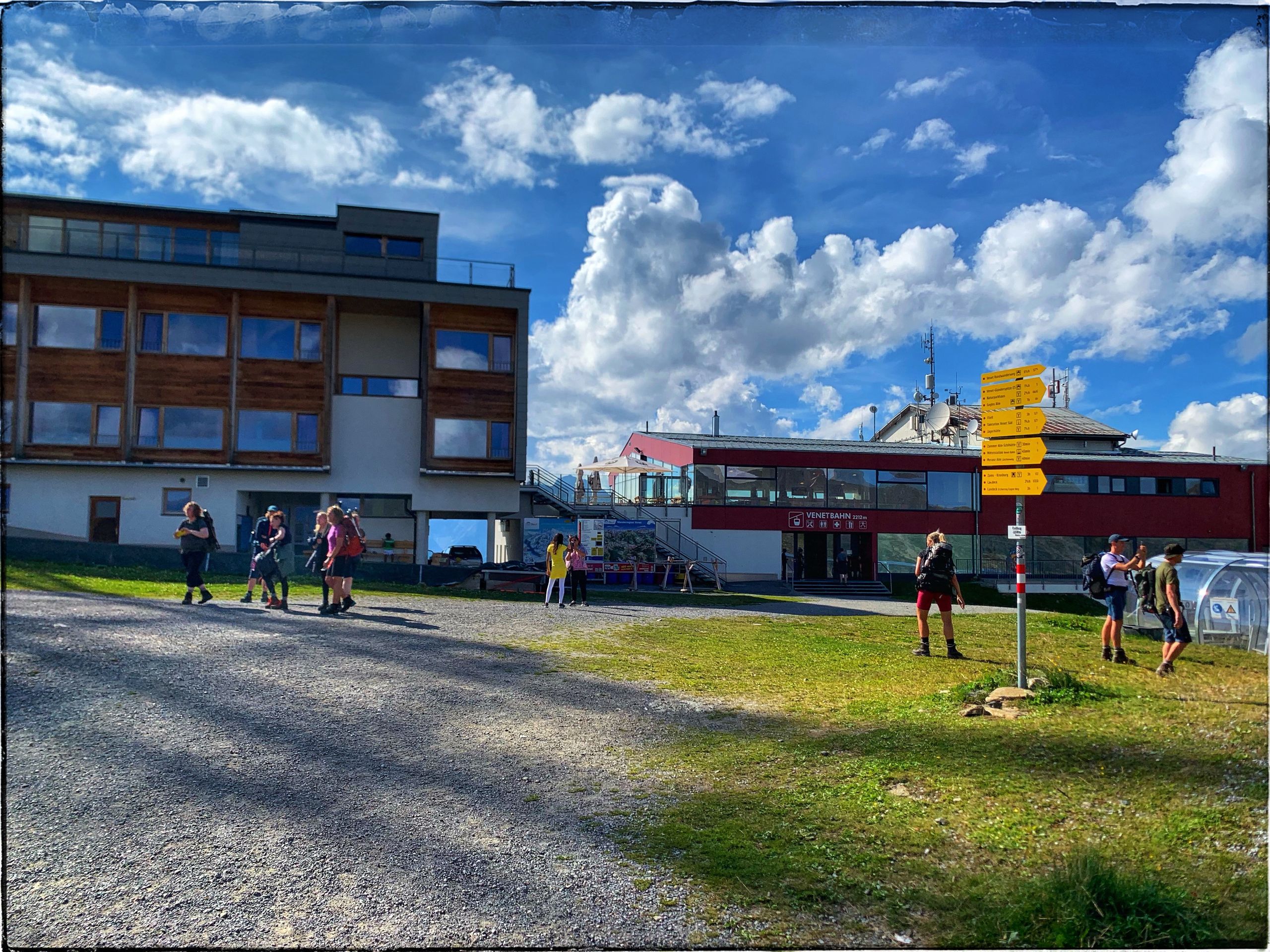
Then follows the descent, which seemingly has no end. Once in Zams, we take the Venetbahn for about 500 meters in altitude...
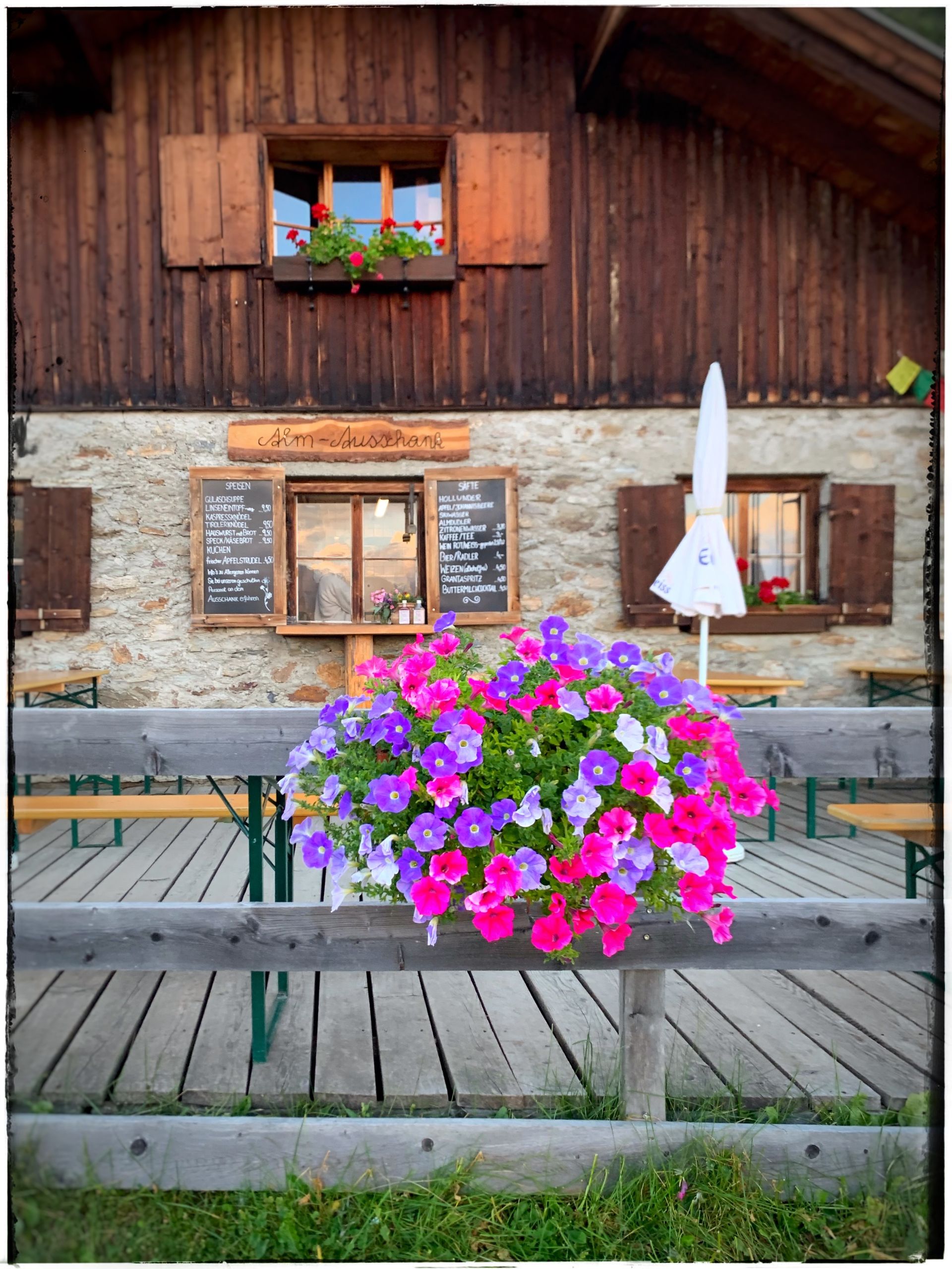
...and then walk for three hours to the cozy, family-run Larcher Alm.
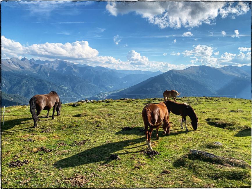
The night turned out to be relatively short since we had to deal with “No drinking water”.
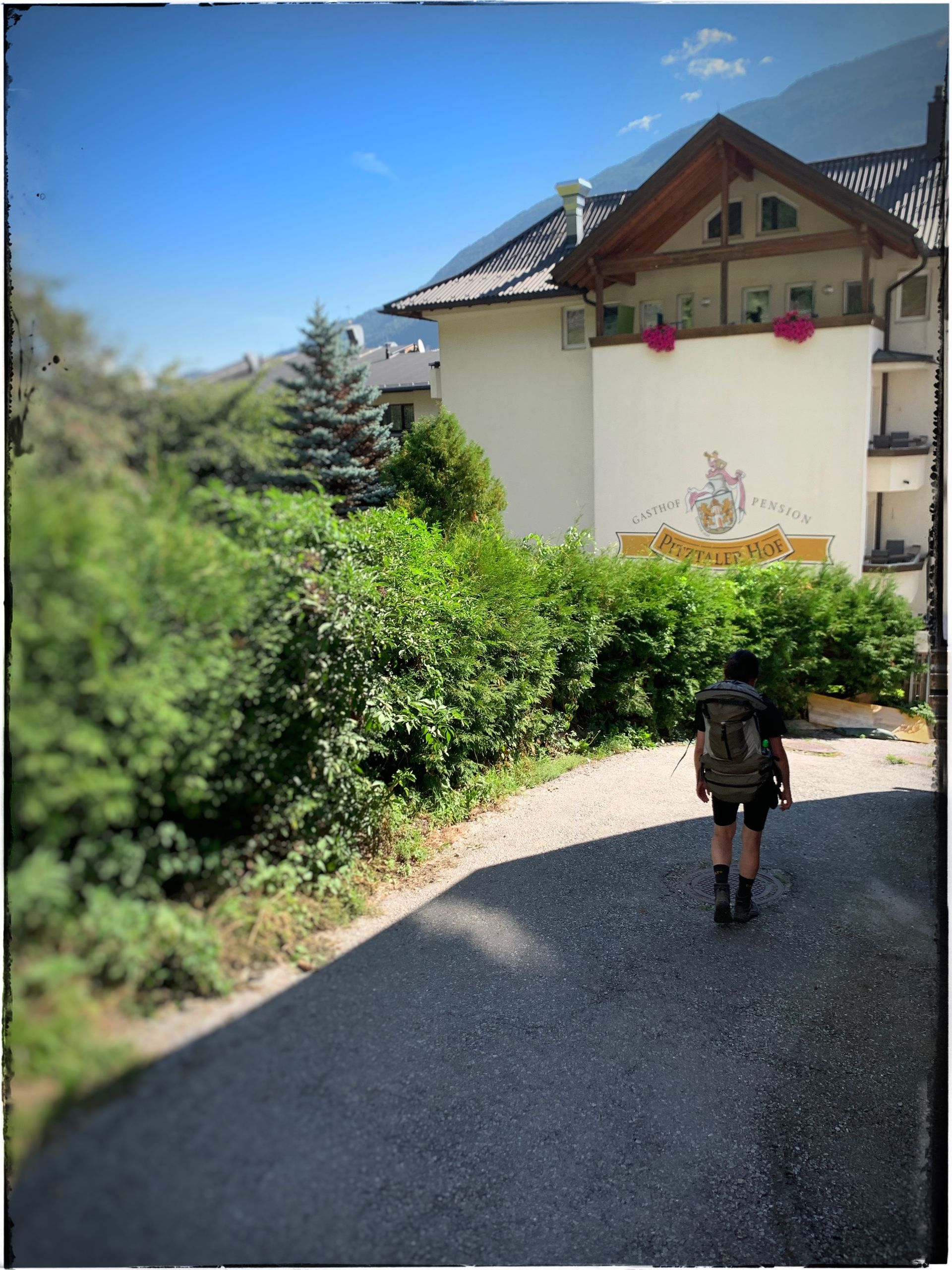
The hiking trail to Wenns takes us directly to the Pitztaler Hof, where we take the bus to Mittelberg.
After a gentle ascent, we refresh ourselves at the Gletscherstube and make a small detour to the material cable car. What a glorious invention and luxury to have the backpack transported upwards for 5,-€.
Via the Pitztaler waterfall path, we reach the Braunschweiger Hütte in about 3-4 hours.
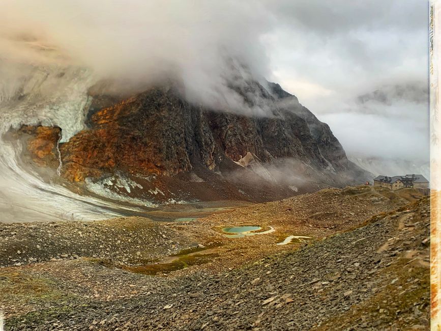
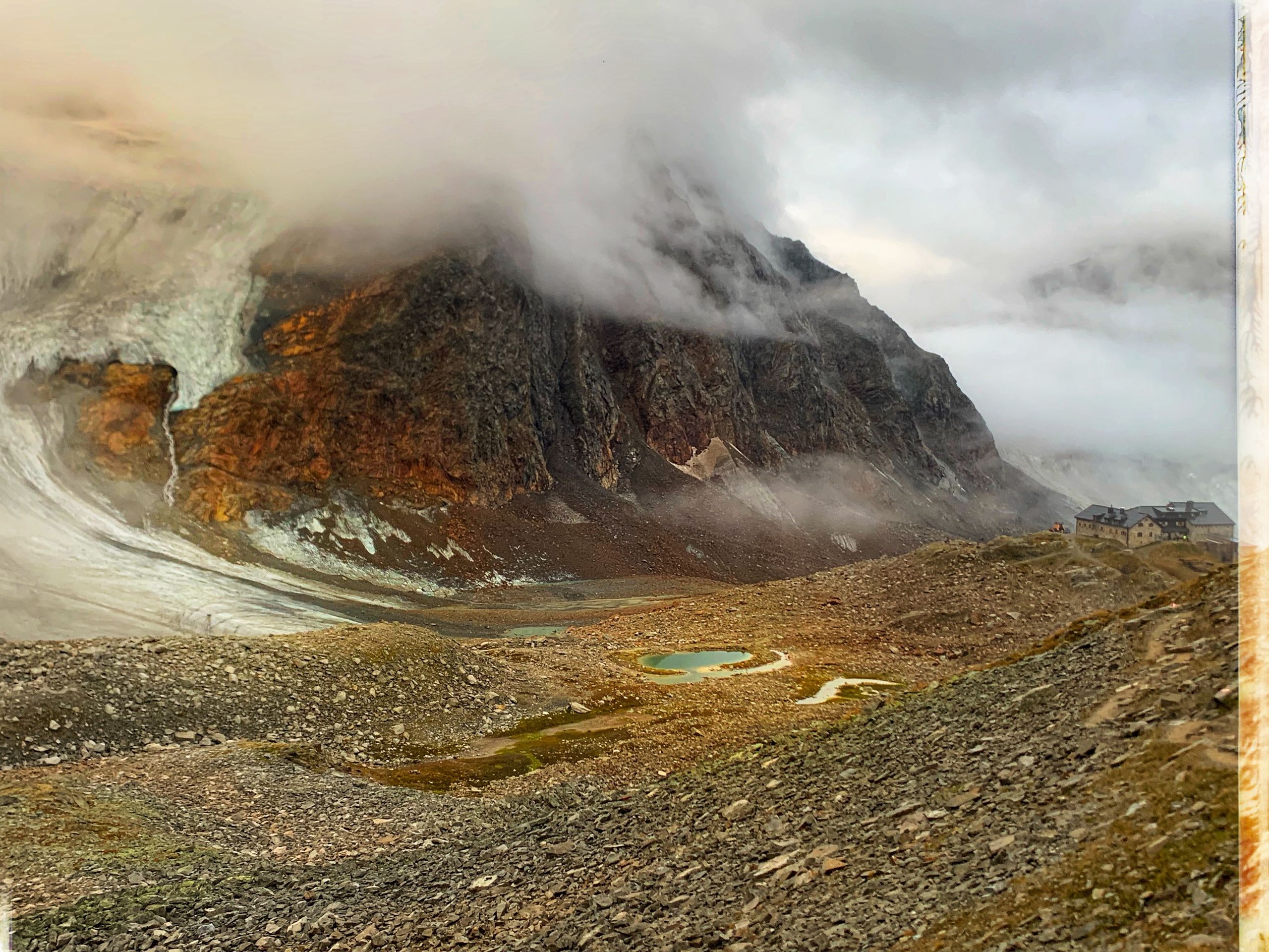
The hut was top renovated in 2010, well organized, with modern hot showers, and not least a great view of the Rettenbach glacier.
The morning unfortunately greets us relatively damp and cold, which does not make the ascent to Jöchel Spitze, nearly 3000m high, any easier as the air is already thinner here too.
But eventually, we land at the highest European dead end Ötztal Glacier Road (2830m) at Rettenbachferner and take the bus to Sölden and Vent.
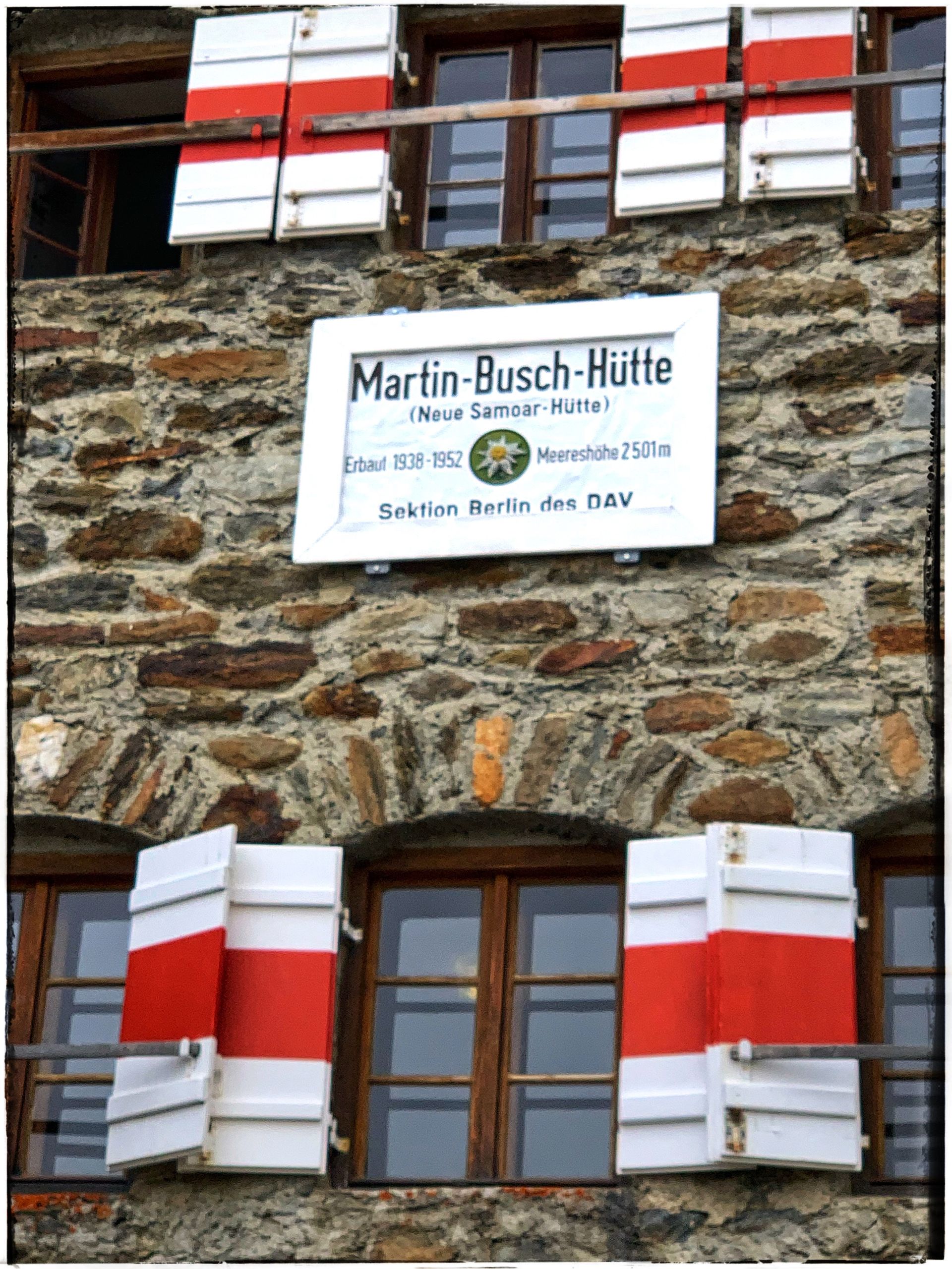
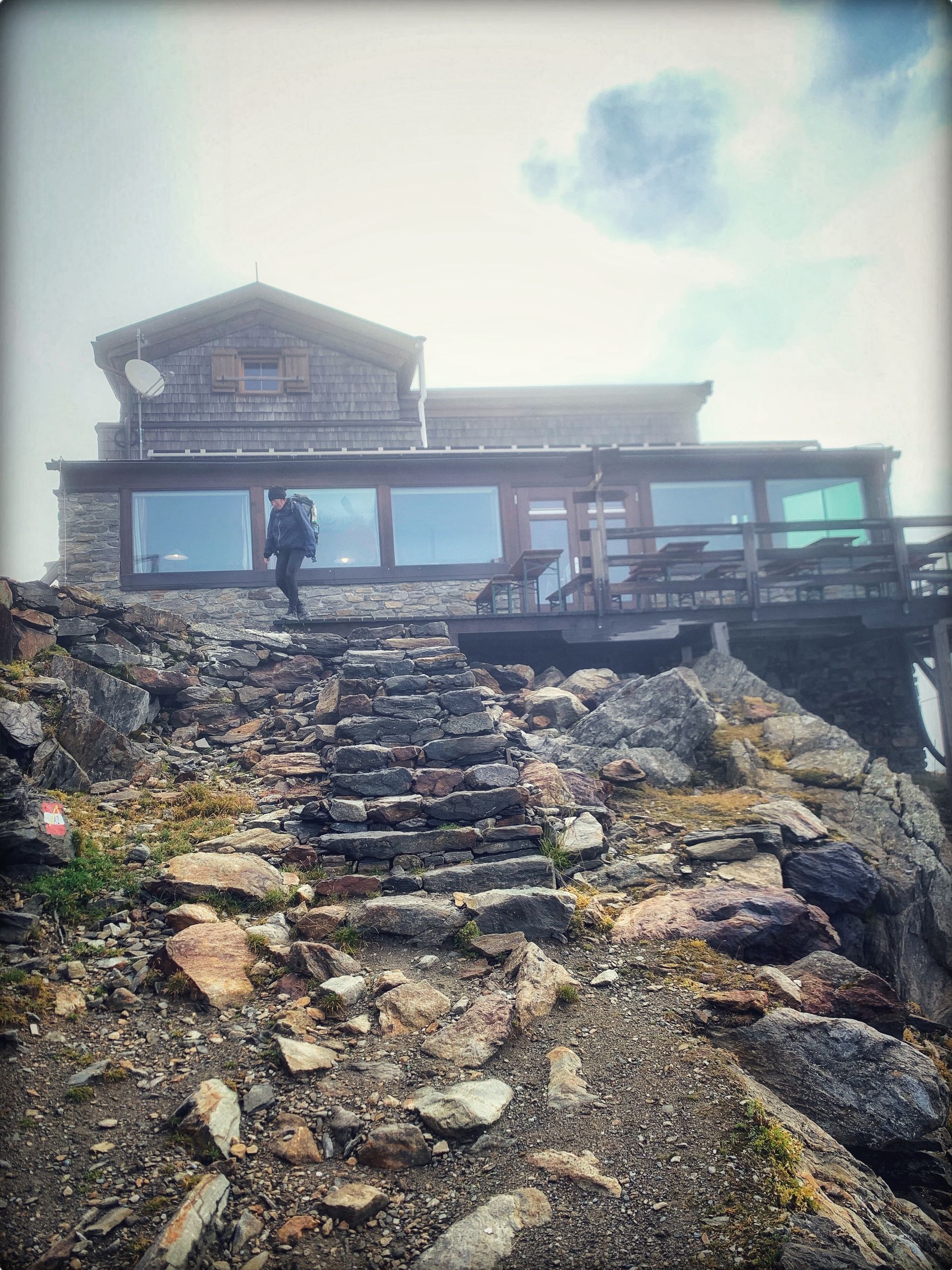
In Vent, the Martin-Busch Hütte is excellent; we follow a slow ascent that we share amicably with Tyrolean mountain sheep.
Early in the morning at 3° Celsius, saturated from breakfast, we walk towards Similauner Hütte. Nearby is the site where Ötzi was found in 1991; the body is about 5300 years old.
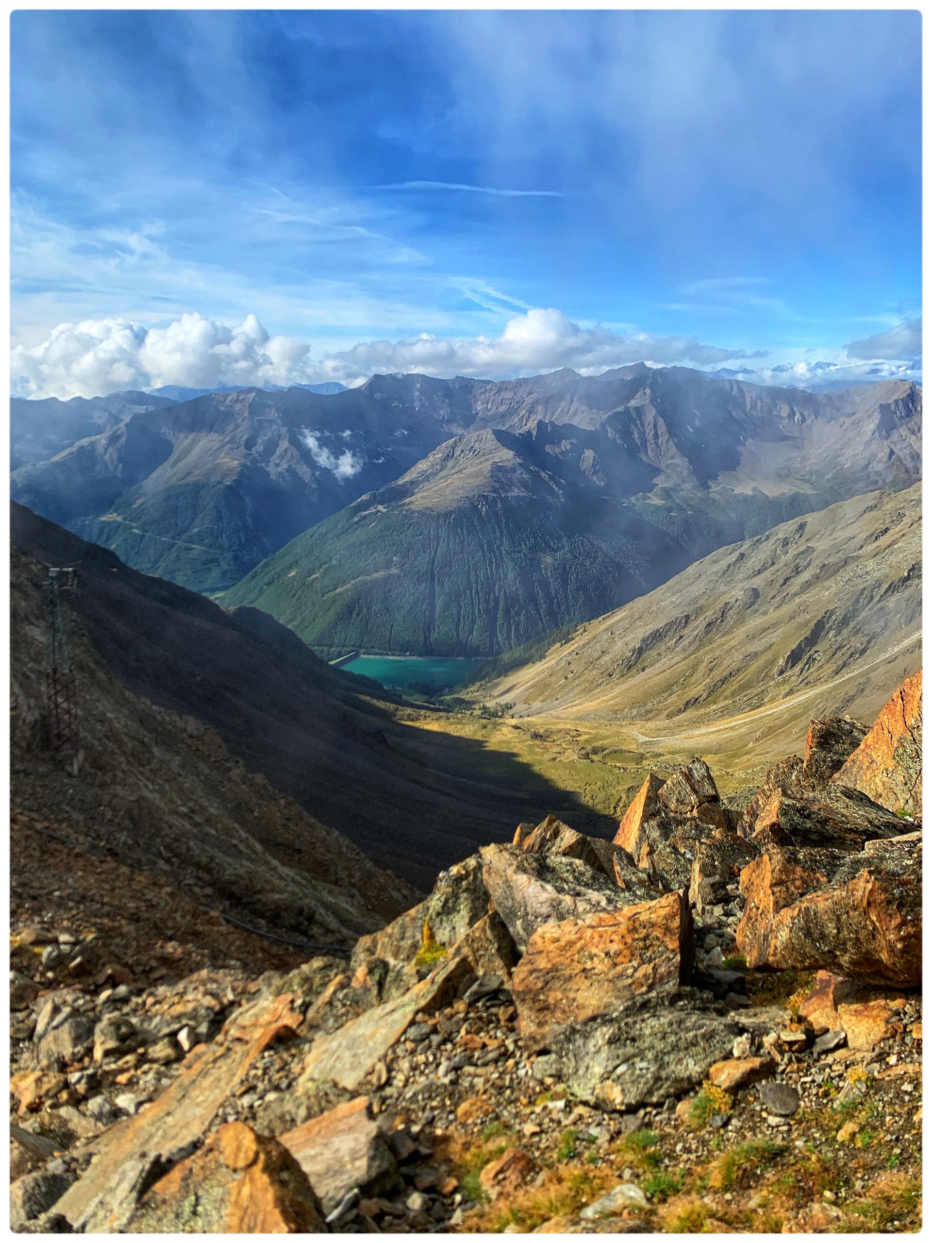
A sudden break in the clouds allowed us to look down to the Vernagt Reservoir and admire the mountain scenery of the Texel group.
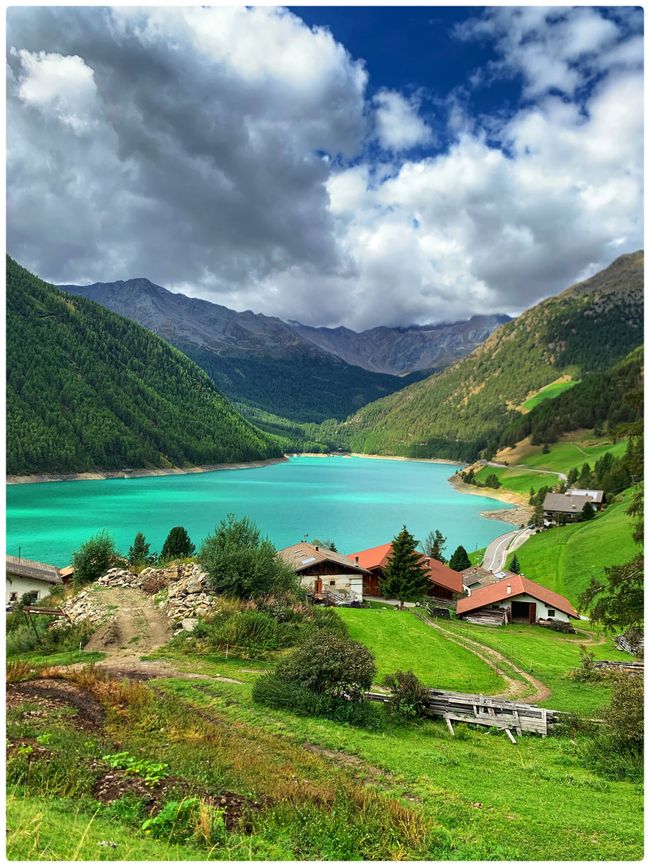
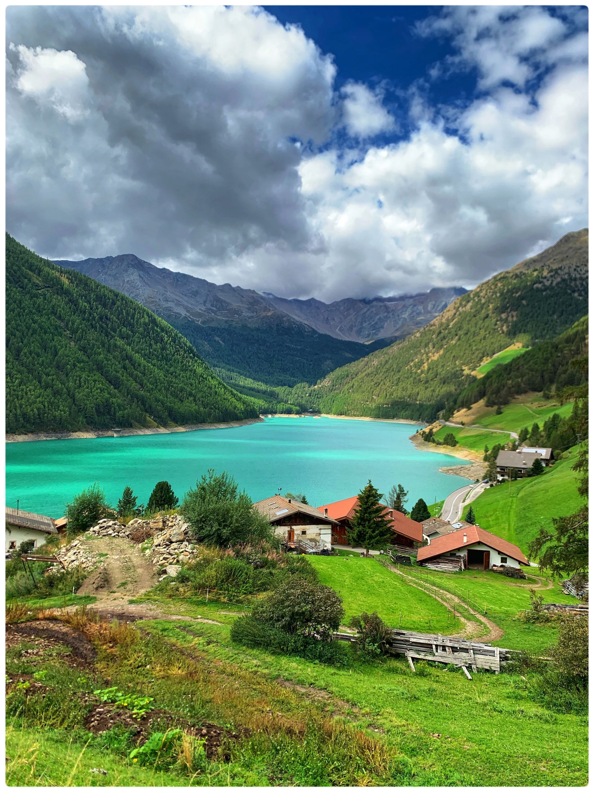
Upon arriving at the Vernagt Reservoir, we took the bus to Meran and enjoyed civilization again.
My conclusion: Book early, and also start working on physical fitness in good time. What I underestimated was the weight of the backpack, the water consumption, the thinning air, and not least the psychological burden from, for example, fear of heights. All of this, in my opinion, is absolutely compensated by the magnificent views of the mountain landscape, the sense of community in the huts, and having reached the destination.
A little thank you to our father and mom🎚