Day 3: Reykjadalur and Thingvellir National Park
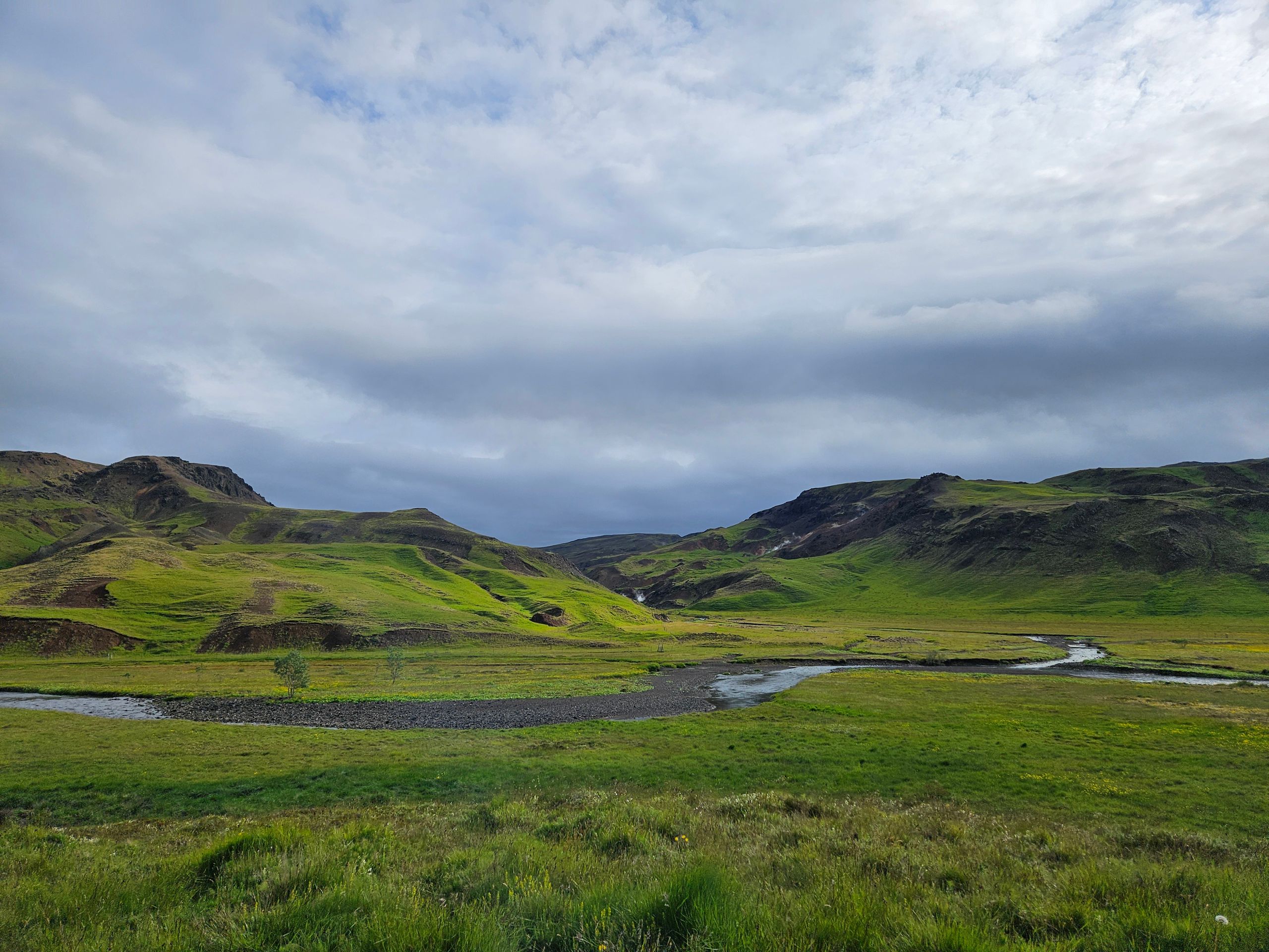
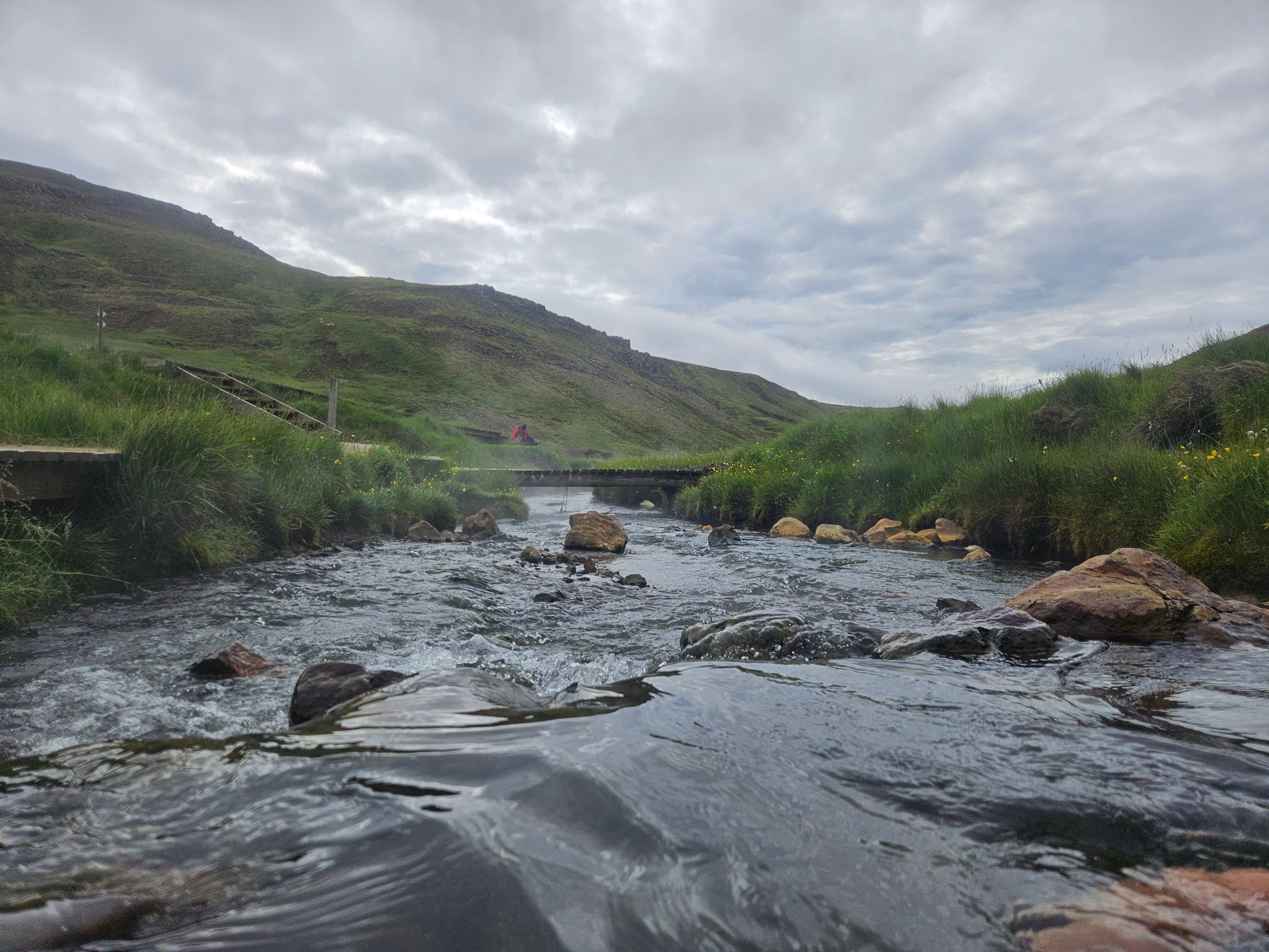
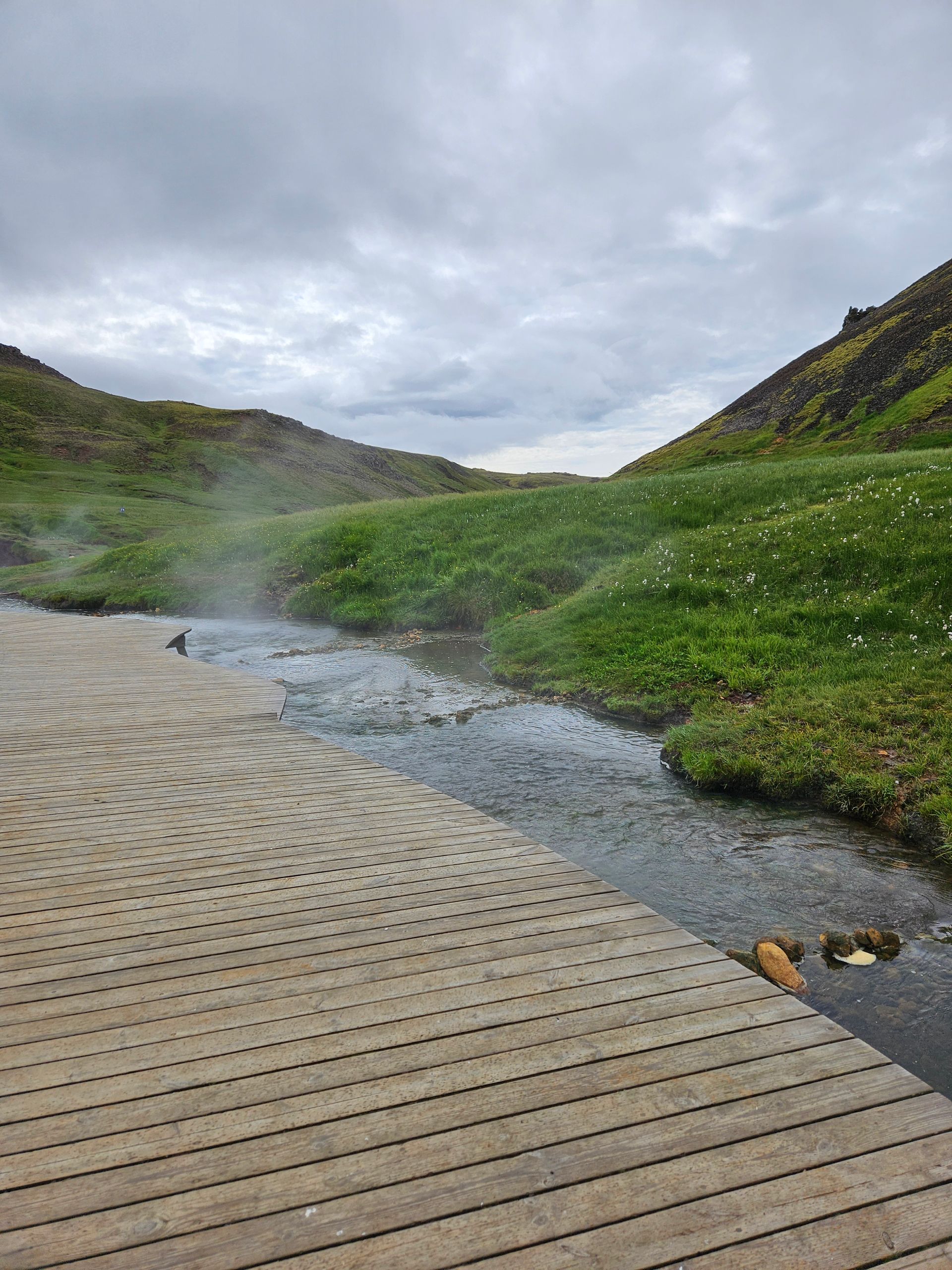
We wake up at 6 AM and leave on time after 1.5 hours. We decided not to take advantage of the time change and wake up earlier; however, we also go to bed at 9 PM. This usually means that there are only a few people around. After 45 minutes, we reach the parking lot for our hike to the Reykjadalur Thermal Hot Springs. The route is rated as moderately difficult. Right from the start, the trail goes steeply uphill with some sections at 19% incline. It is challenging and exhausting. Several times, we go downhill only to go back up again immediately. The entire area, known as the 'smoking valley,' is characterized by geothermal heat, and you can see white steam rising from colorful mountain slopes even from a distance. Particularly on calm days, the many bright columns of steam coming directly from the ground are impressive. Along the way, you encounter mud pots, waterfalls, and can repeatedly look back at the strangely beautiful mountain panorama. After 1 hour and 15 minutes, we reach the bathing area in the thermal river and enjoy a soak at about 35-37 °C water temperature. There are partitions on the platform designed for changing. We are well prepared and wear water shoes, so we can walk easily in the riverbed. Being back in the fresh air promotes quick changing. Unfortunately, there are now many mosquitoes bothering us. Fortunately, they don’t bite. After a lunch snack of filled baguettes, we make our way back. This time, it's mainly downhill. We pass many tourists who want to bathe now. We cover 10 kilometers. At the car, we pay for the parking fees and treat ourselves to two coffees. The parking for 4 hours costs €8, and the two coffees over €10.
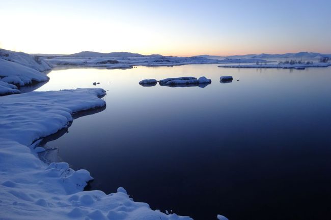
The second destination for the day is Thingvellir National Park. The drive takes about 50 minutes. First, we secure our campsite for the evening and then drive a few kilometers into the national park. It is known for the Althing, the parliament of
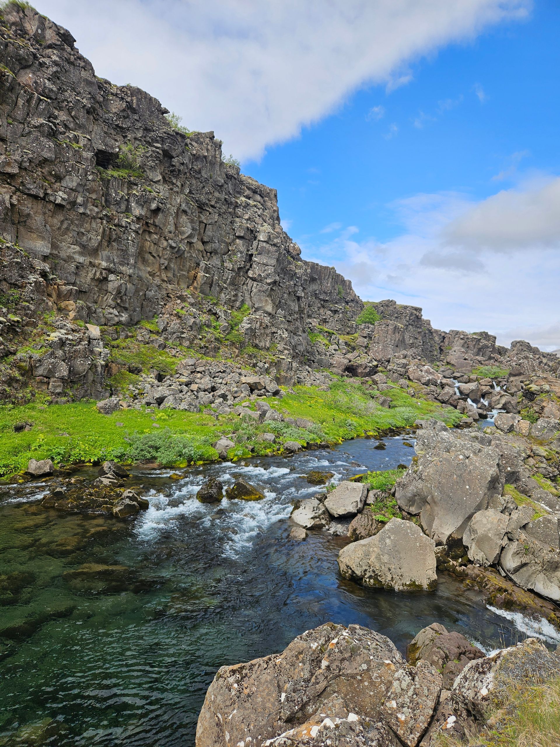
Iceland from the 10th to the 18th centuries. There is also the Thingvellir Church and remnants of old stone houses. The park is located in a rift zone formed by the drifting apart of two tectonic plates. The loop trail is about 5 kilometers long. Too much for a child. So the three of us continue walking. The trail is easy and takes us to the main points of interest. The North American tectonic plate runs along here. The European plate is about 7 kilometers east of here. In between, there is a microplate.
At the Almannagjá gorge, this is visible at the impressive rock crevices and fissures.
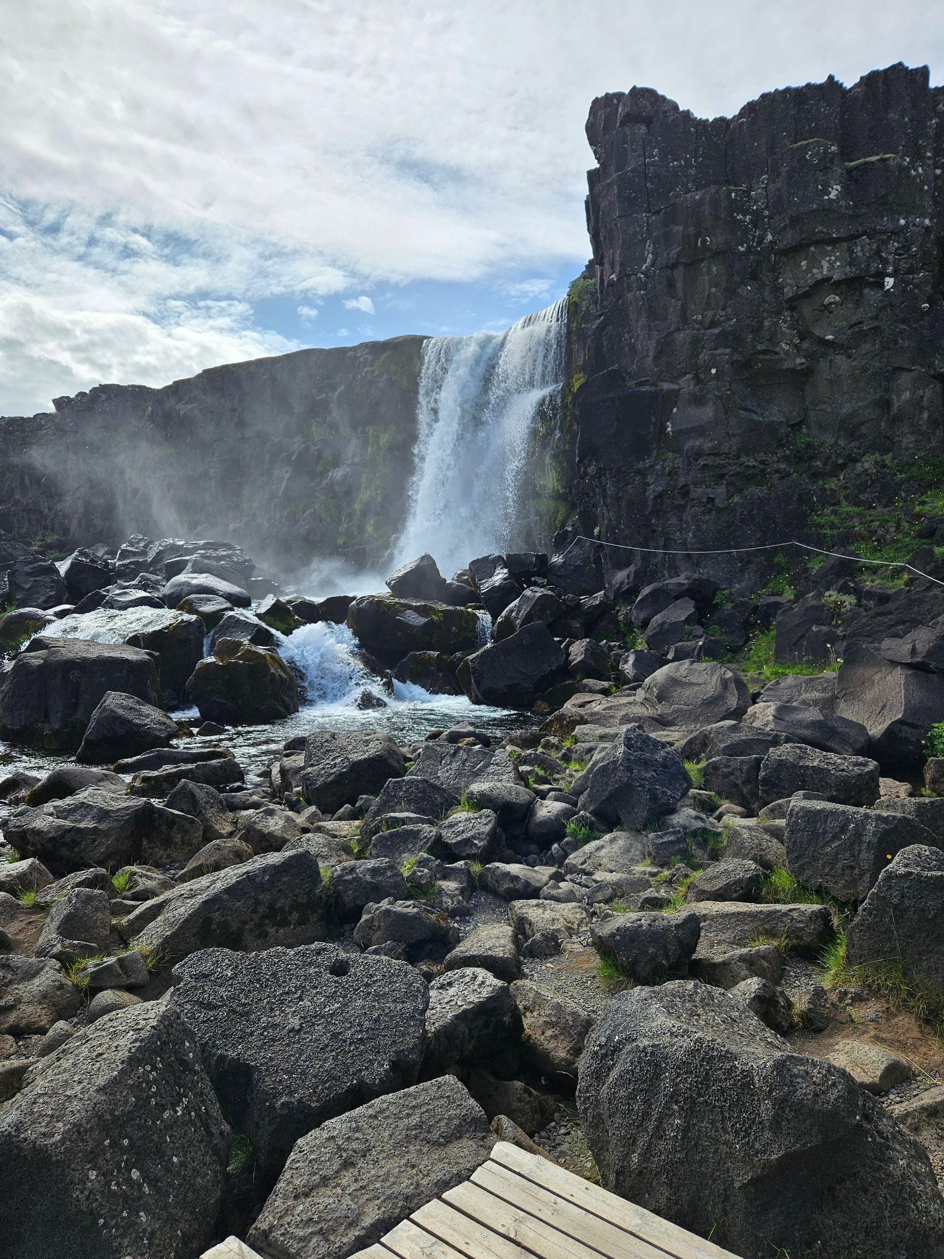
At the end, we pick up Erik, who has been waiting the whole time at the parking lot without a phone, and head to Oxarafoss, a small waterfall. Then we’ve had enough. Upon arriving at the campsite, we use the showers and the washing machine. The wind is getting stronger, so we stay in the camper today. We watch as other campers struggle with setting up their tents; fortunately, we are spared from that. Completely exhausted, we fall into bed early.