11 to Sárvár
Route: 77 kilometers, total: 941 kilometers | Elevation gain: 420 m, total elevation gain: 3,259 m, distance from home: 672 kilometers (as the crow flies) Writing the first...

Published: 13.05.2026
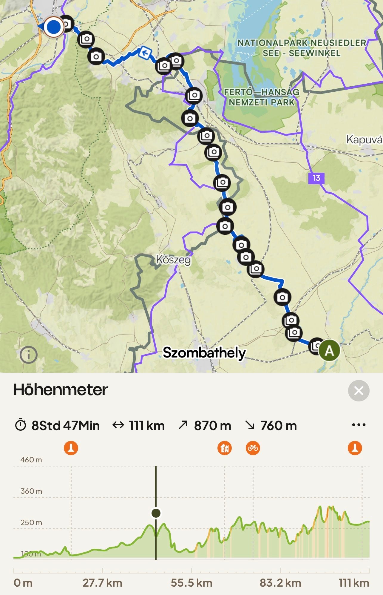
Route: 111 kilometers, cumulative: 1,053 kilometers | Elevation gain: 870 m, cumulative elevation gain: 4,129 m, distance from home: 619 kilometers (as the crow flies)
I must admit that my original plan looked different. Actually, I wanted to ride back to Vienna along the Danube. But I’ve already seen that, and a visit to Lake Balaton was very appealing to me. Additionally, I have enough of a time buffer and didn’t even lose anything by taking this ‘detour.’ On the contrary, I’ve seen and experienced so much that I wouldn’t want to miss it. But now I’m nearing the end of my circular tour; after Vienna, my journey will continue along the Danube as planned for a few more weeks. I’m happy if you continue to accompany me.
During the night, I woke up with severe pain in the middle toe of my left foot. I tried to relieve the pain by massaging it, unfortunately without success. I finally asked my friend AI. It suggested that it was probably due to my cycling shoes. To remedy the pain, it recommended elevating my foot. A bit sceptical, I did just that. And lo and behold: I slept wonderfully afterwards.
When I got up at 6 a.m., the sky was cloudless and a wonderful blue. This filled me with energy, and full of joy for today’s tour, I started shortly after 8 a.m.
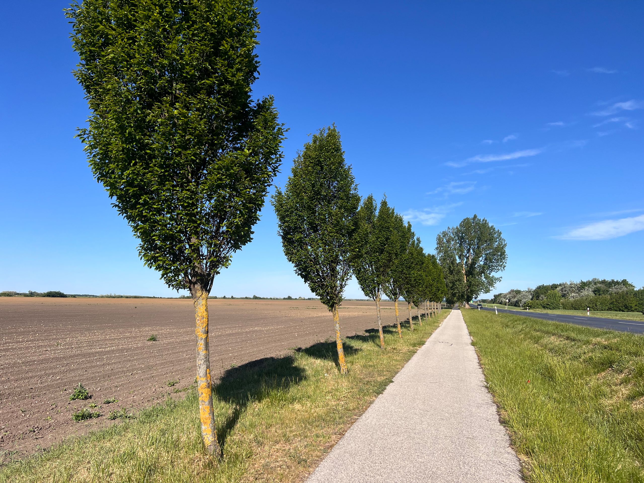
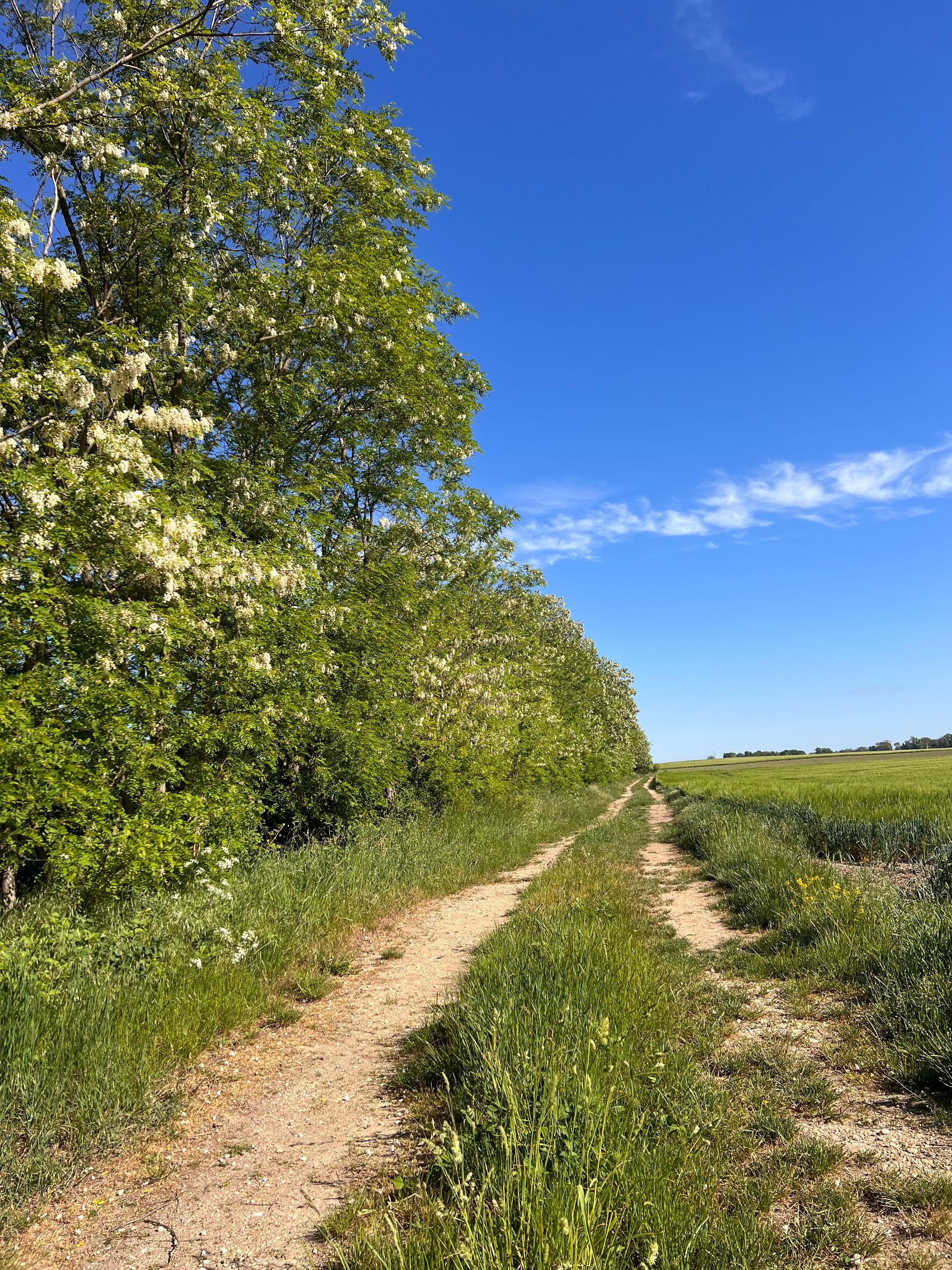
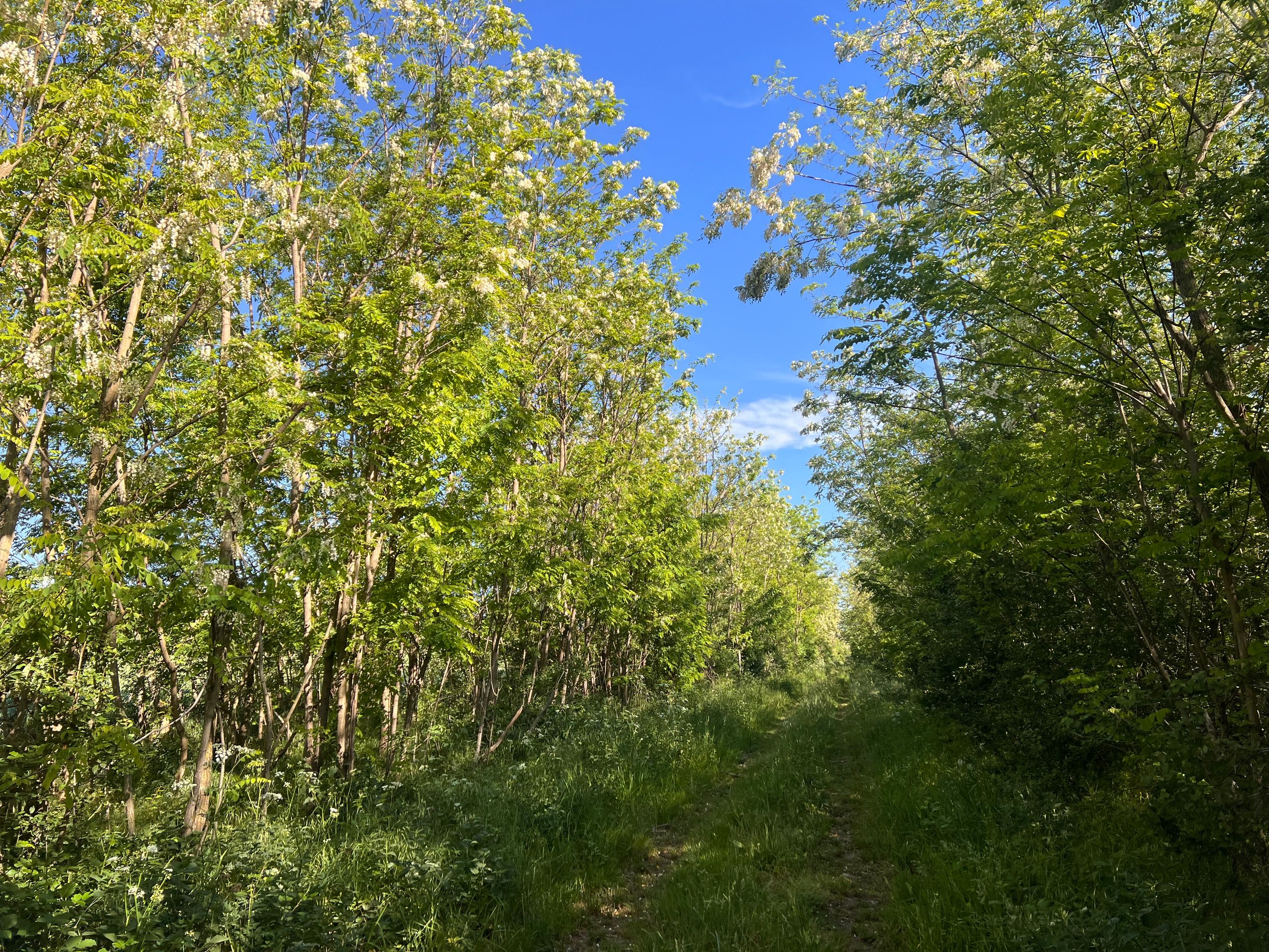
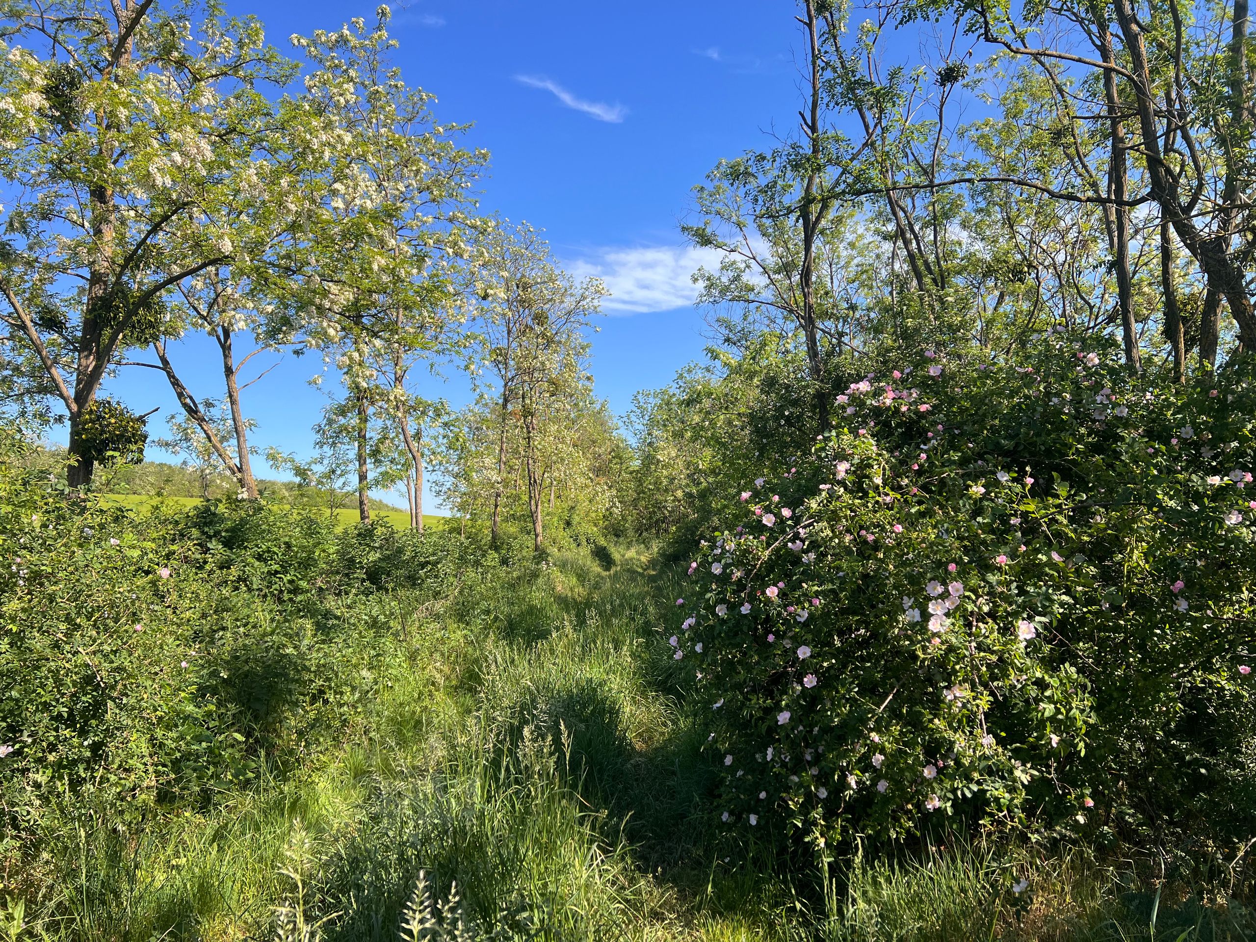
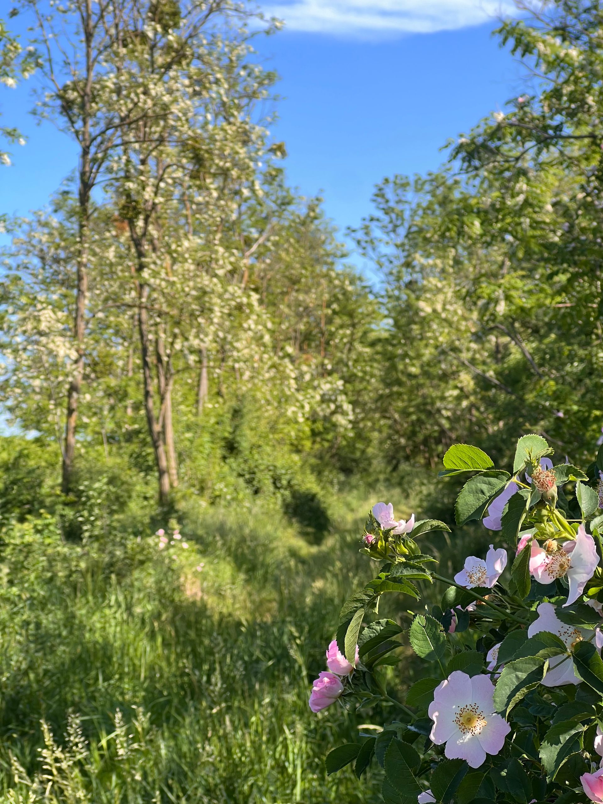
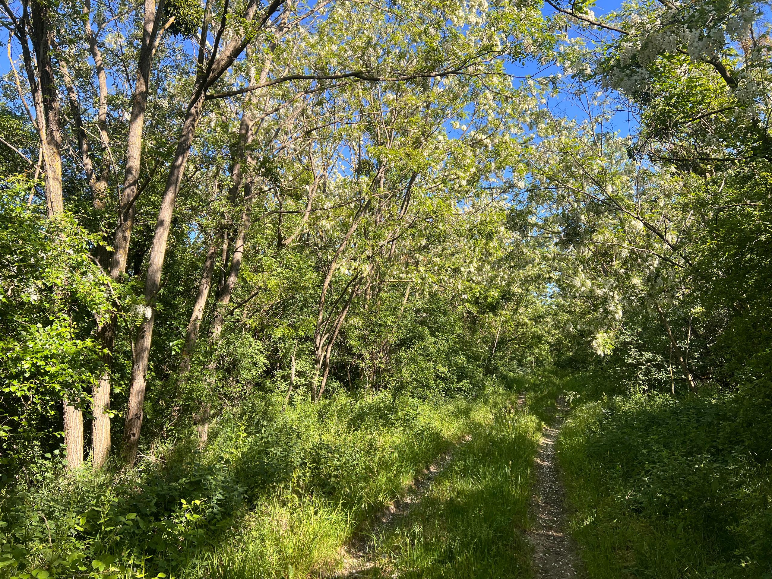
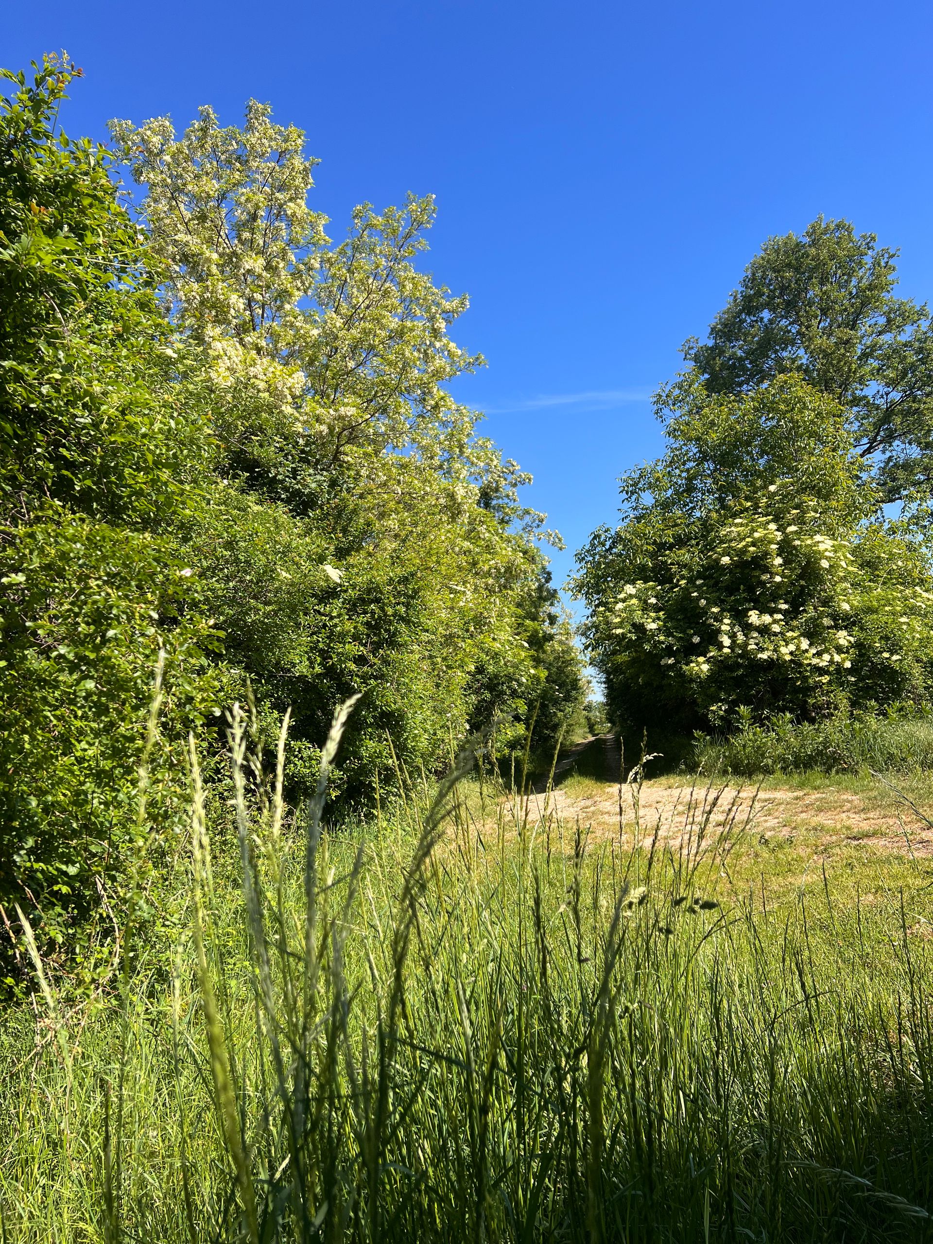
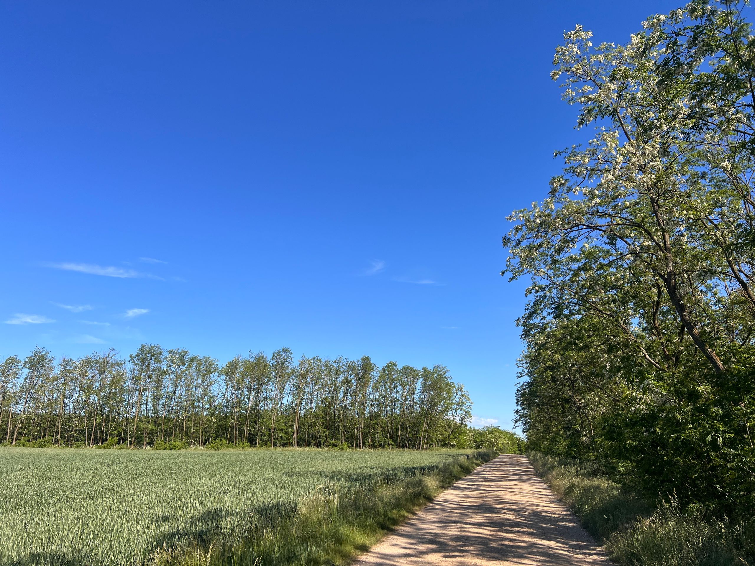
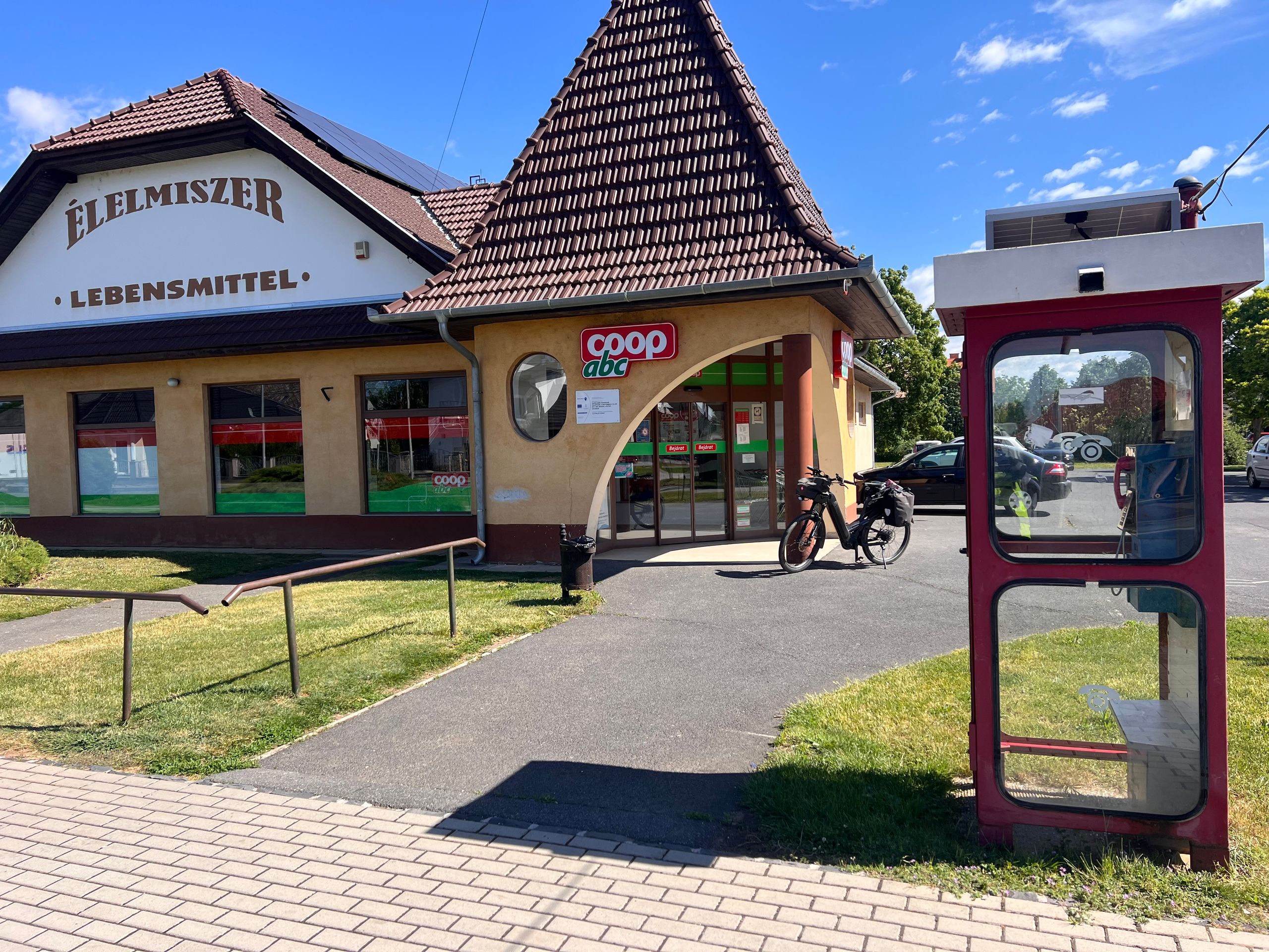
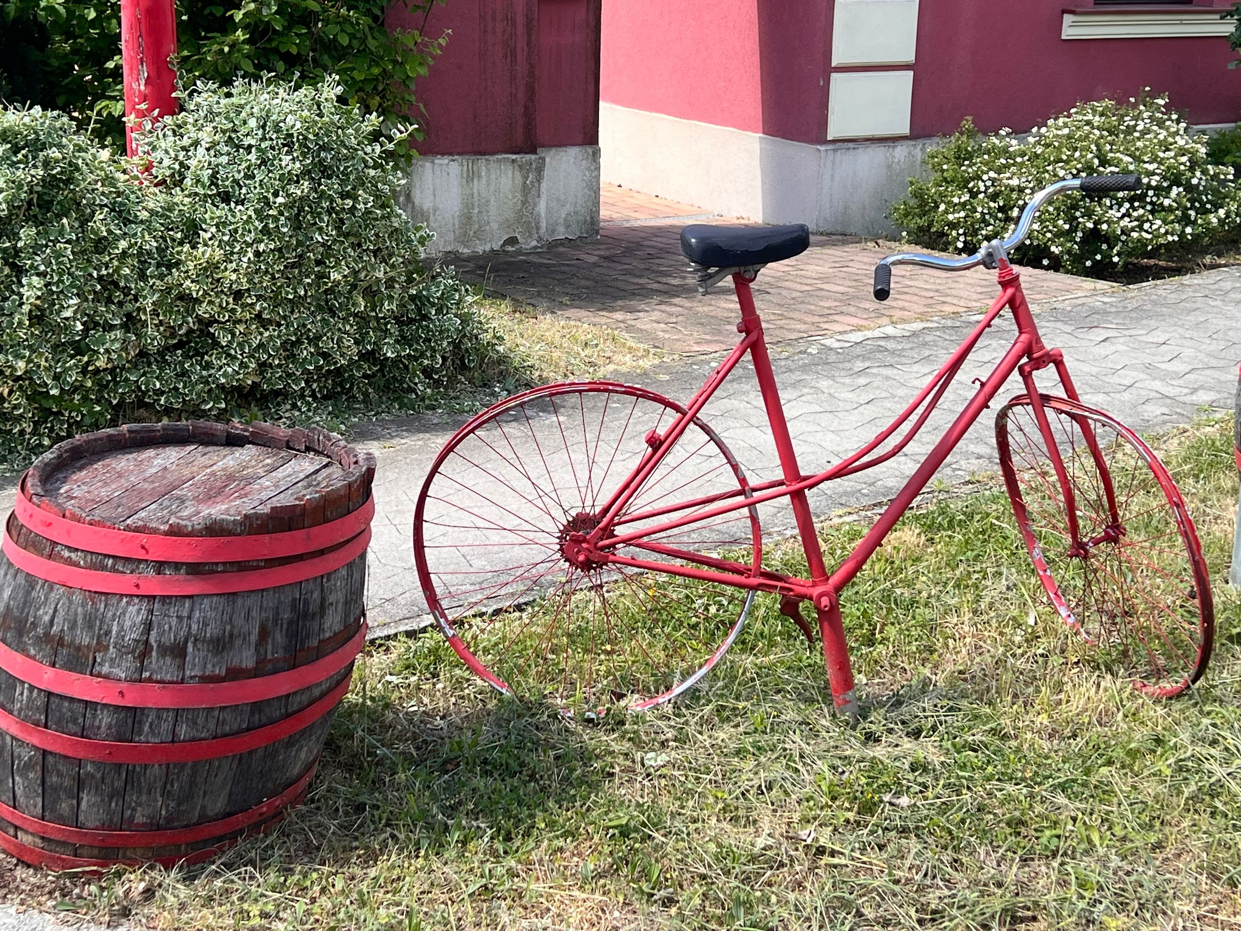
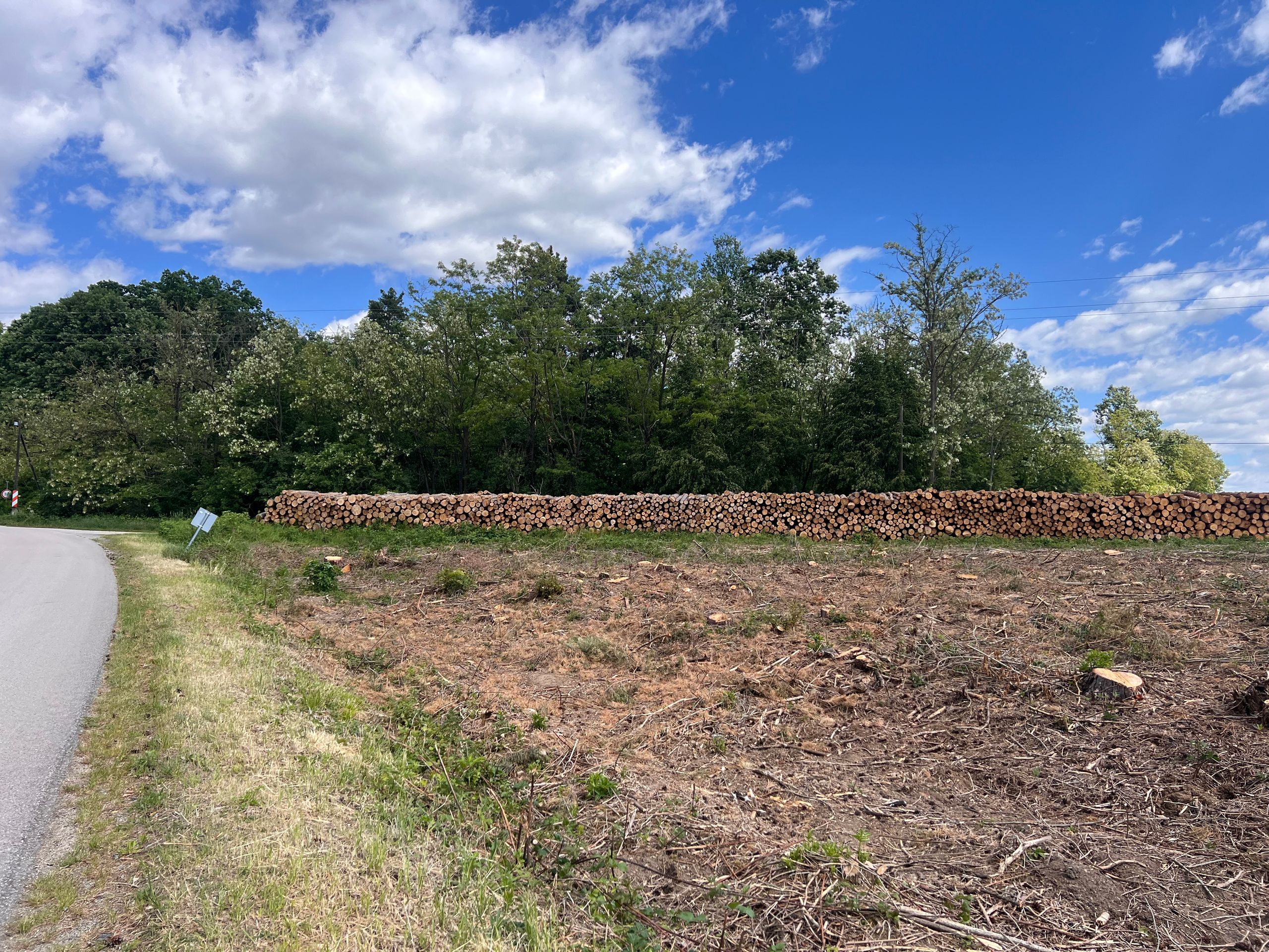
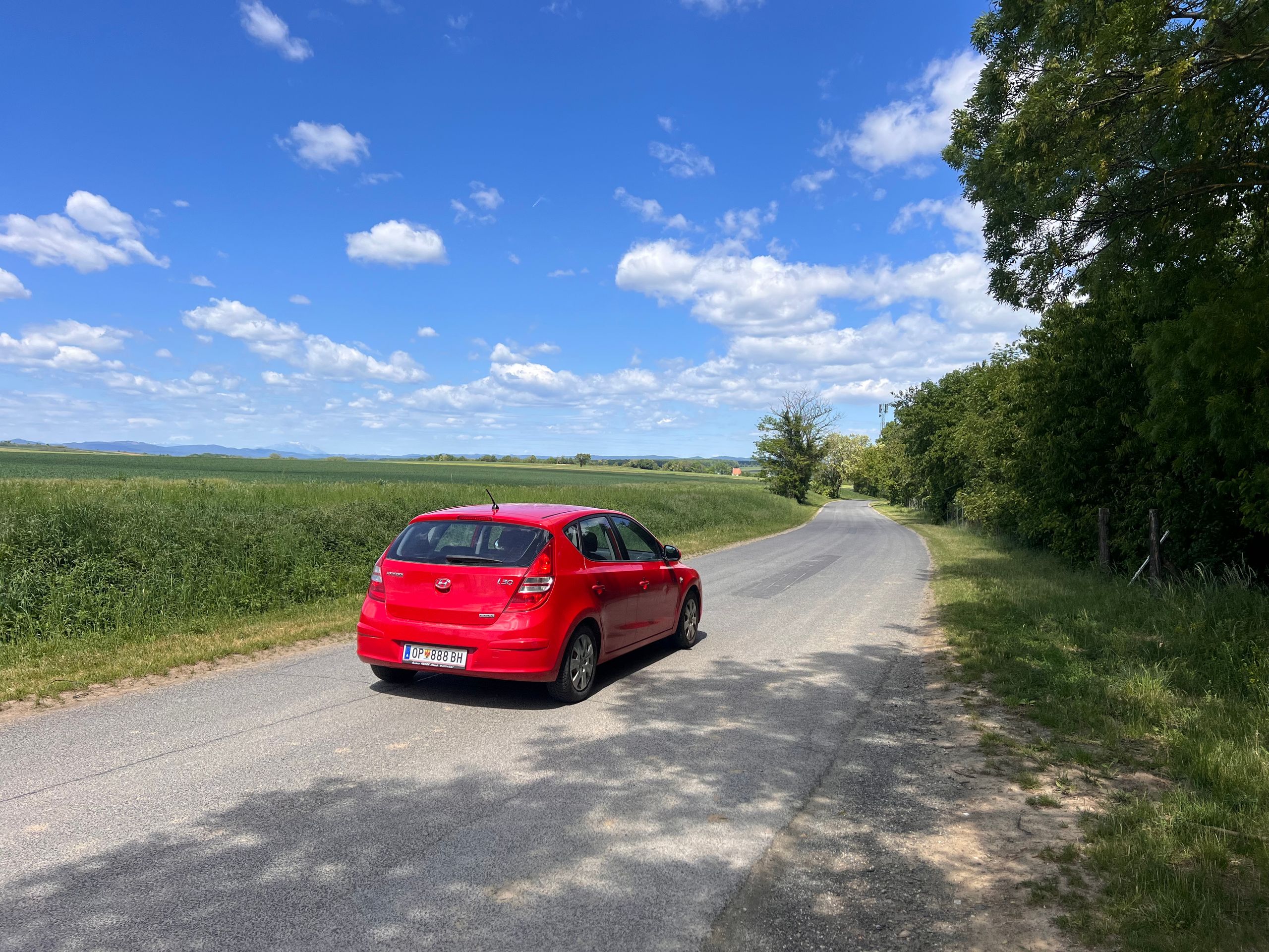
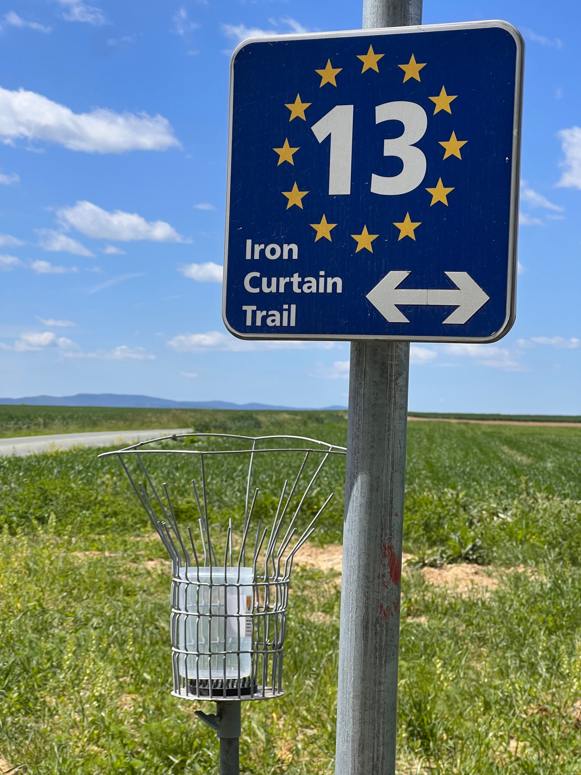
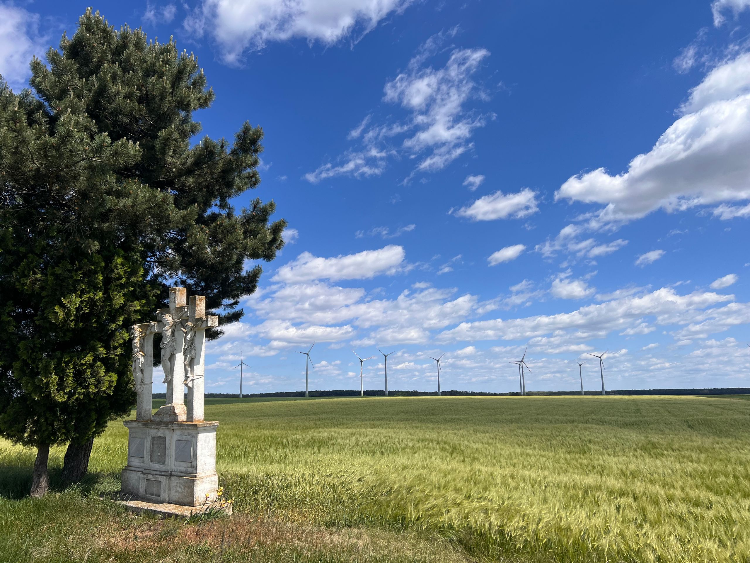
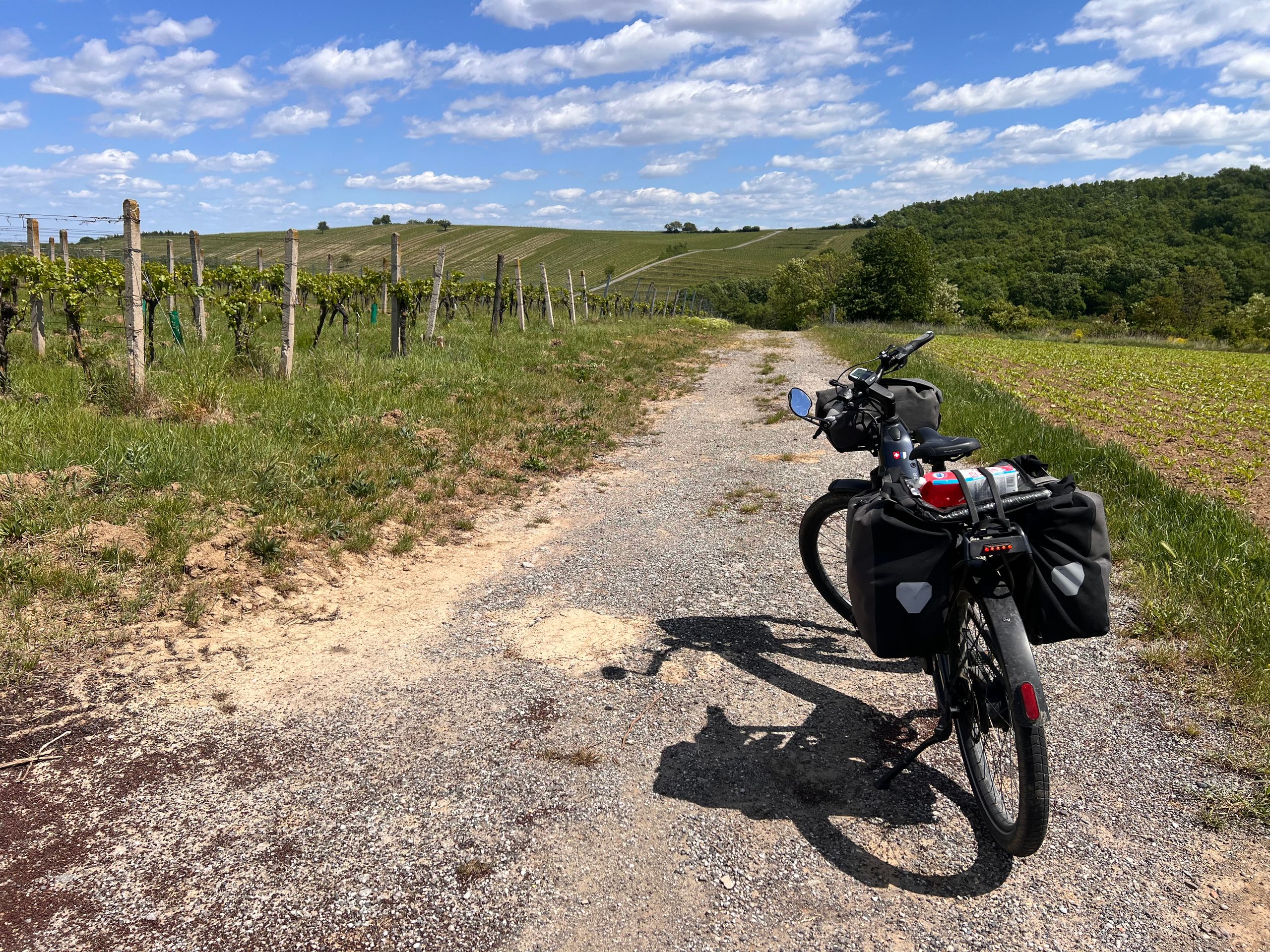
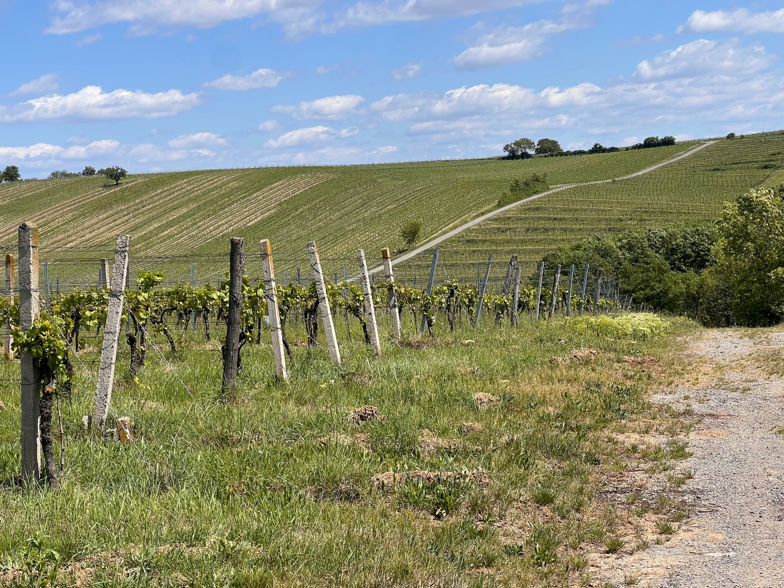
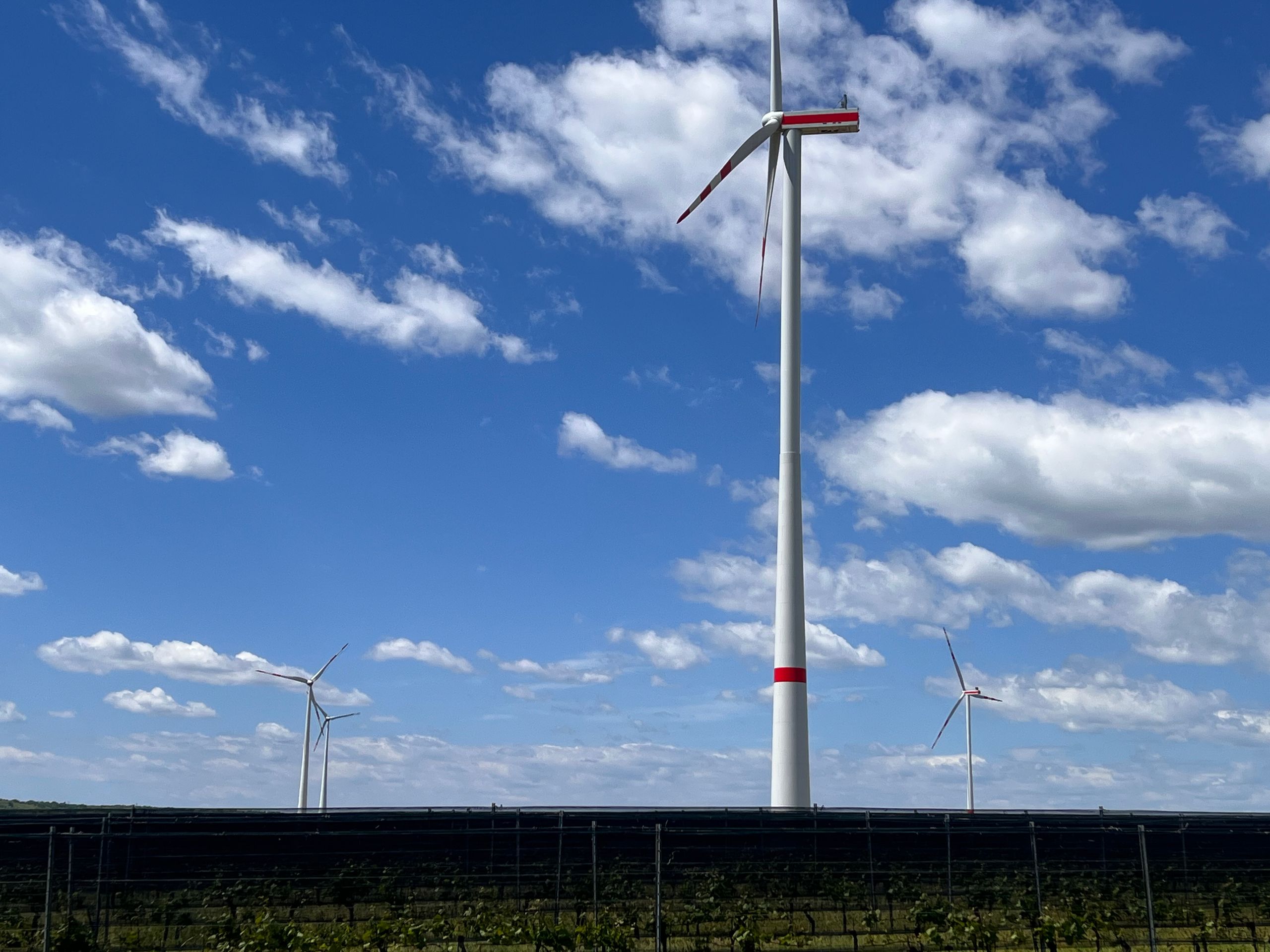
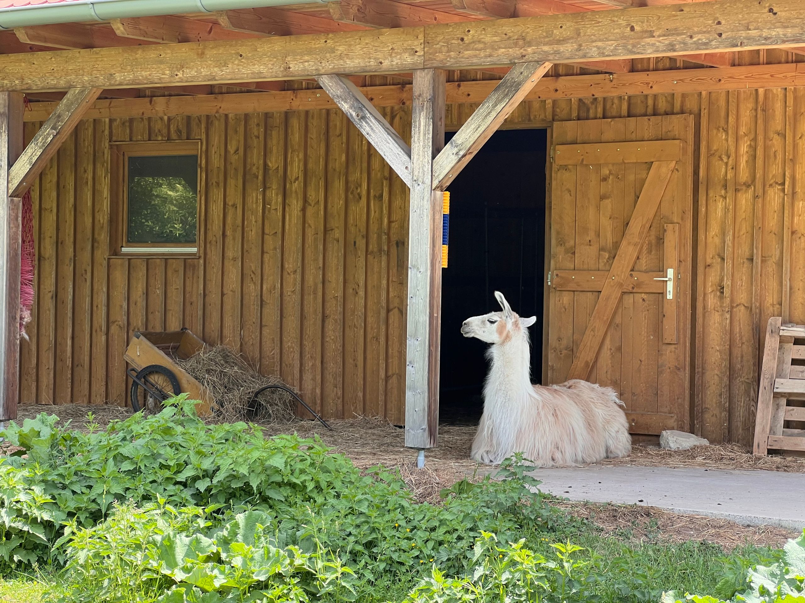
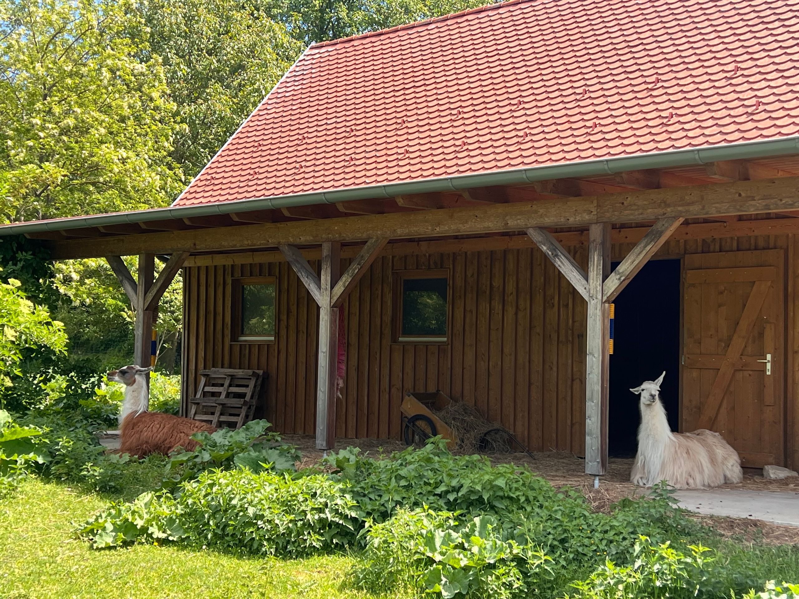
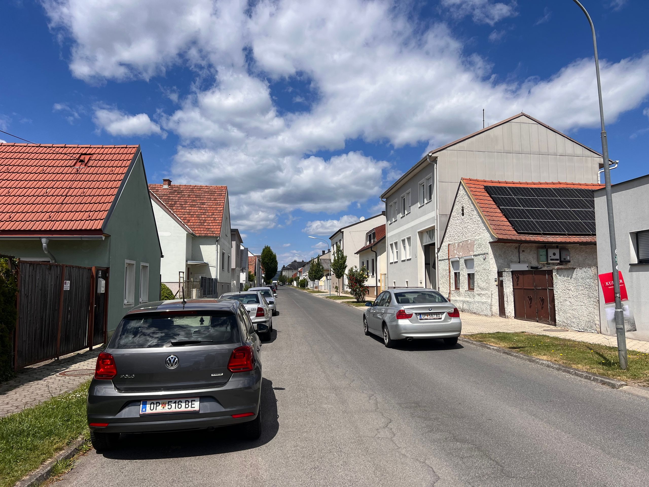
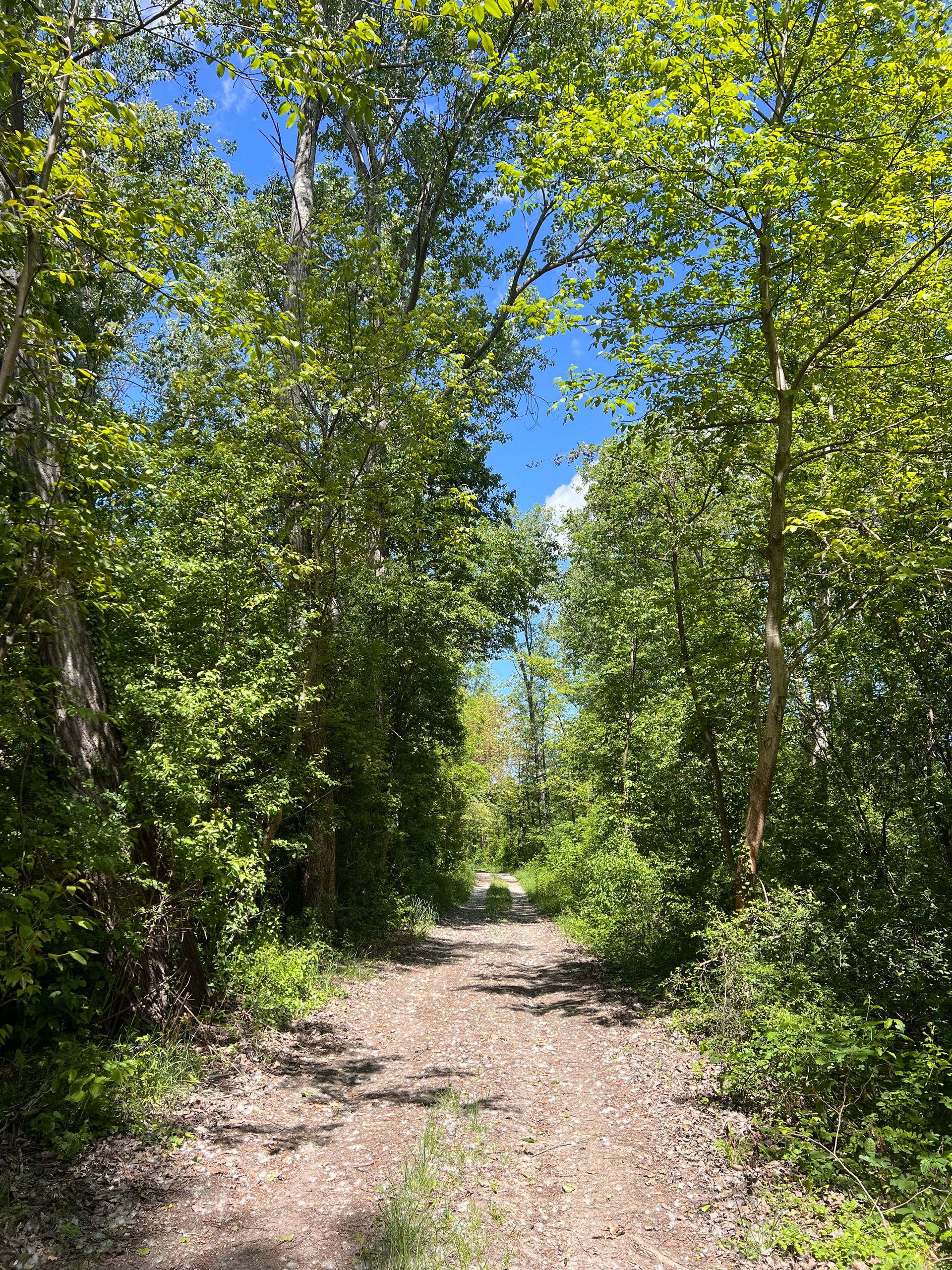
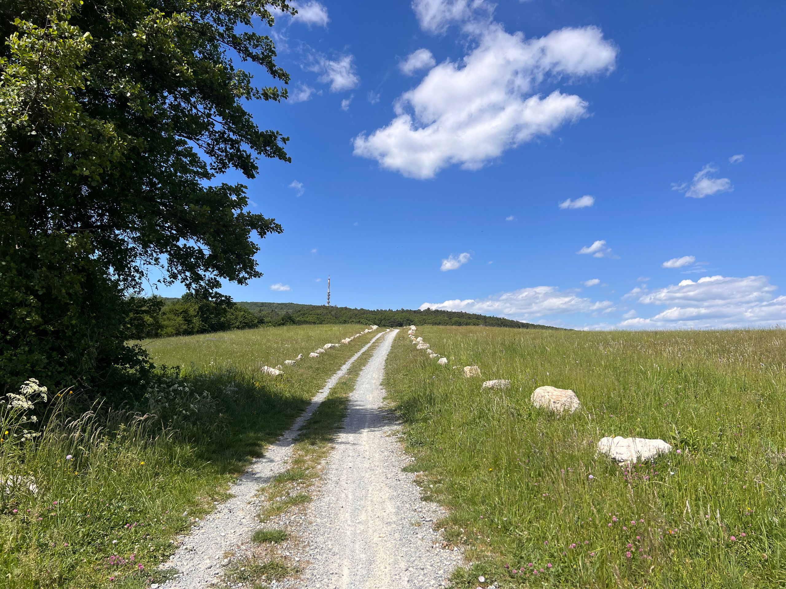
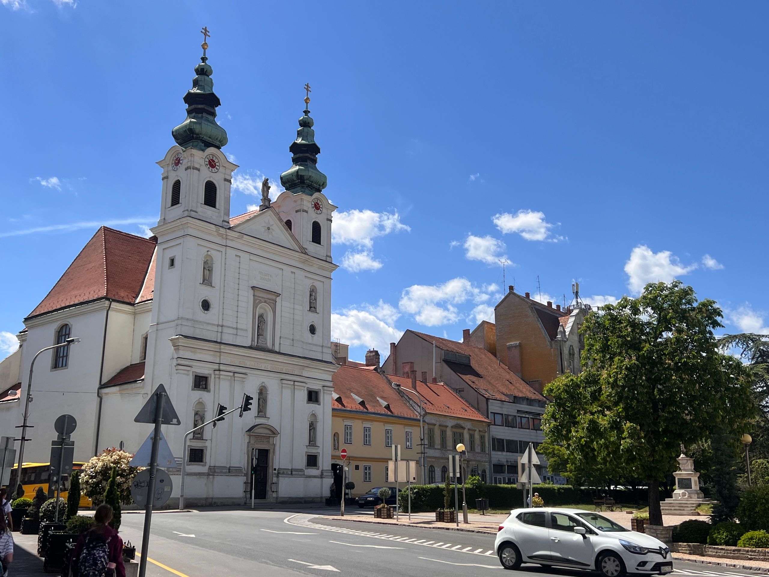
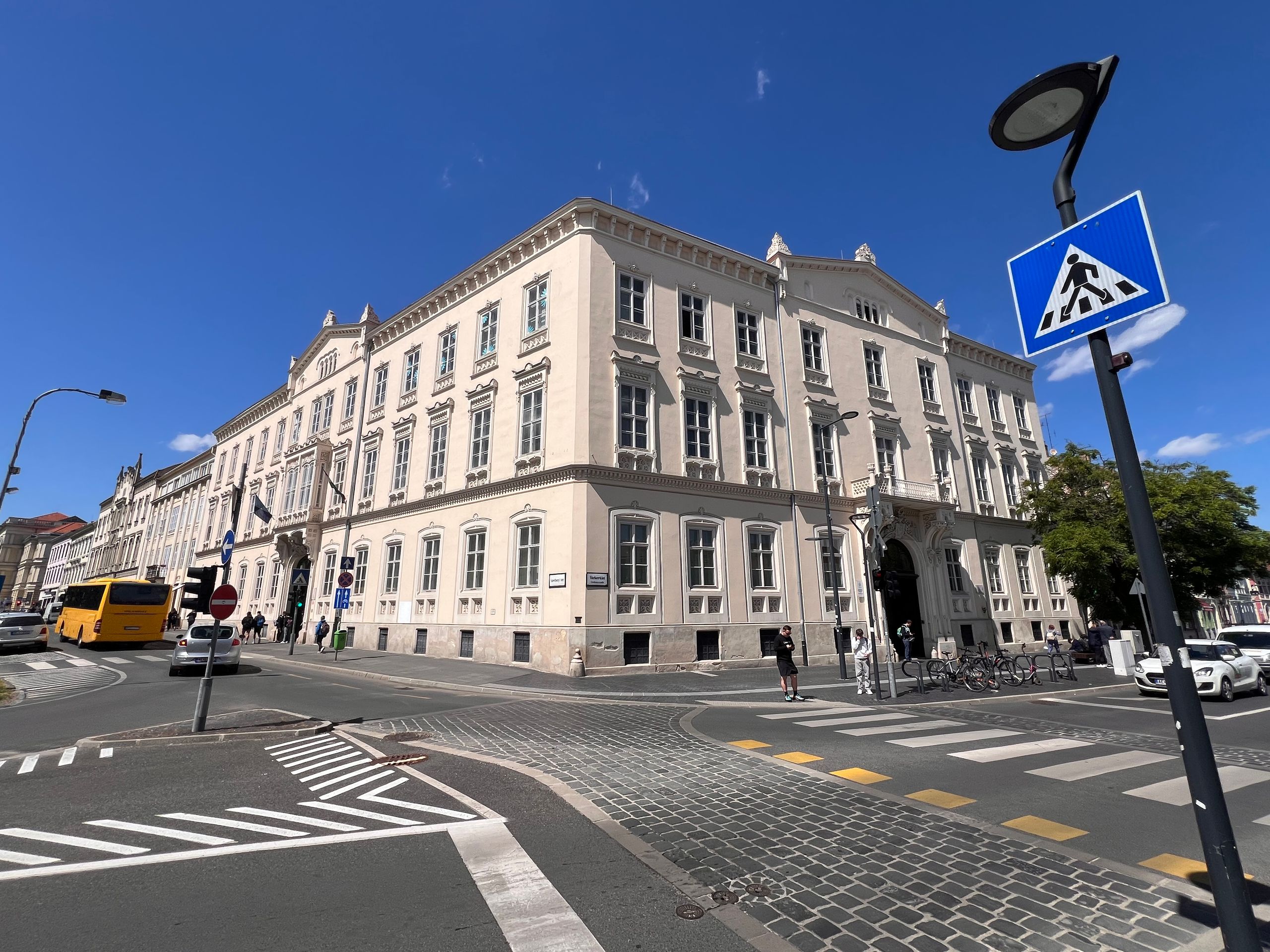
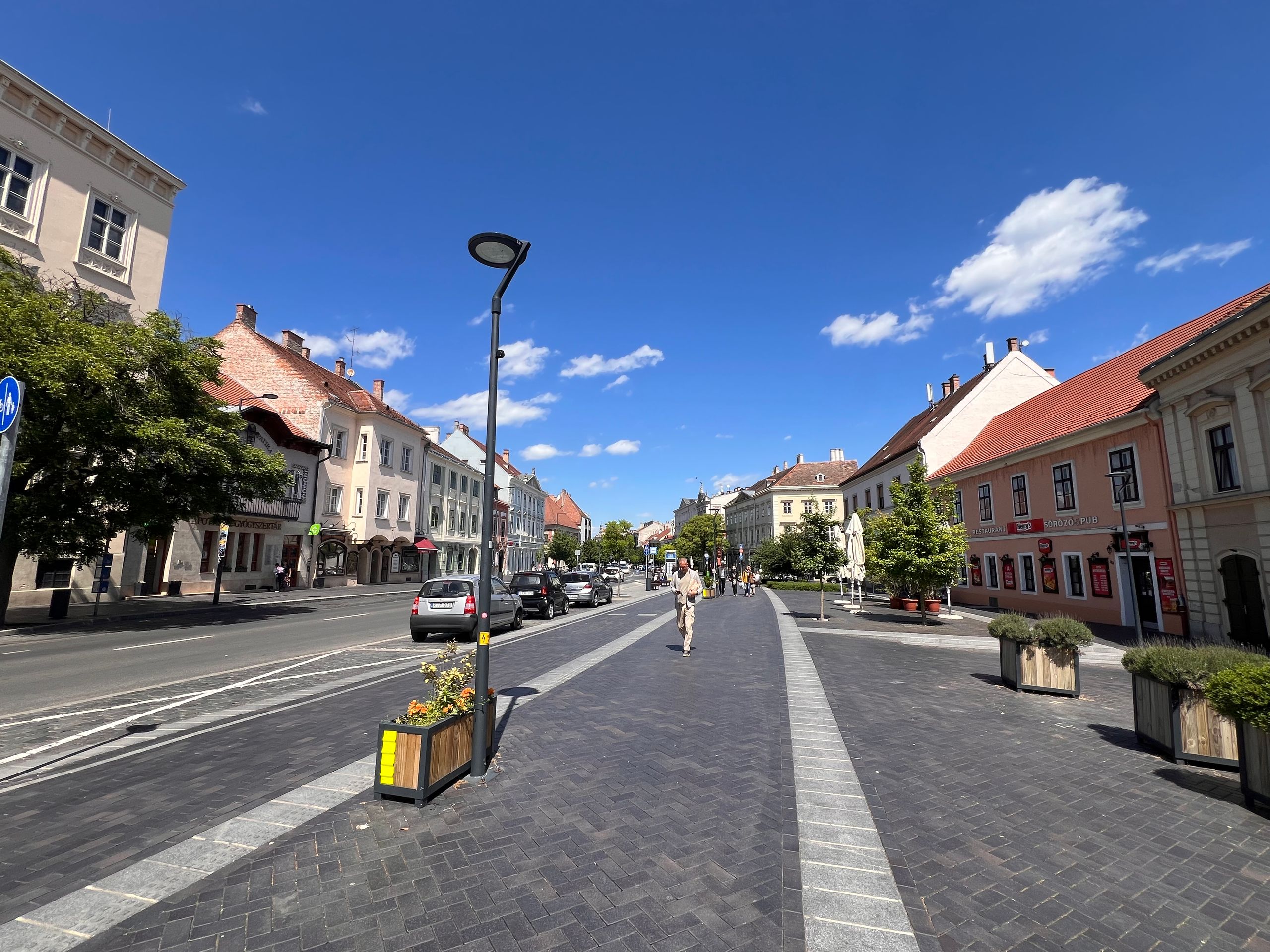
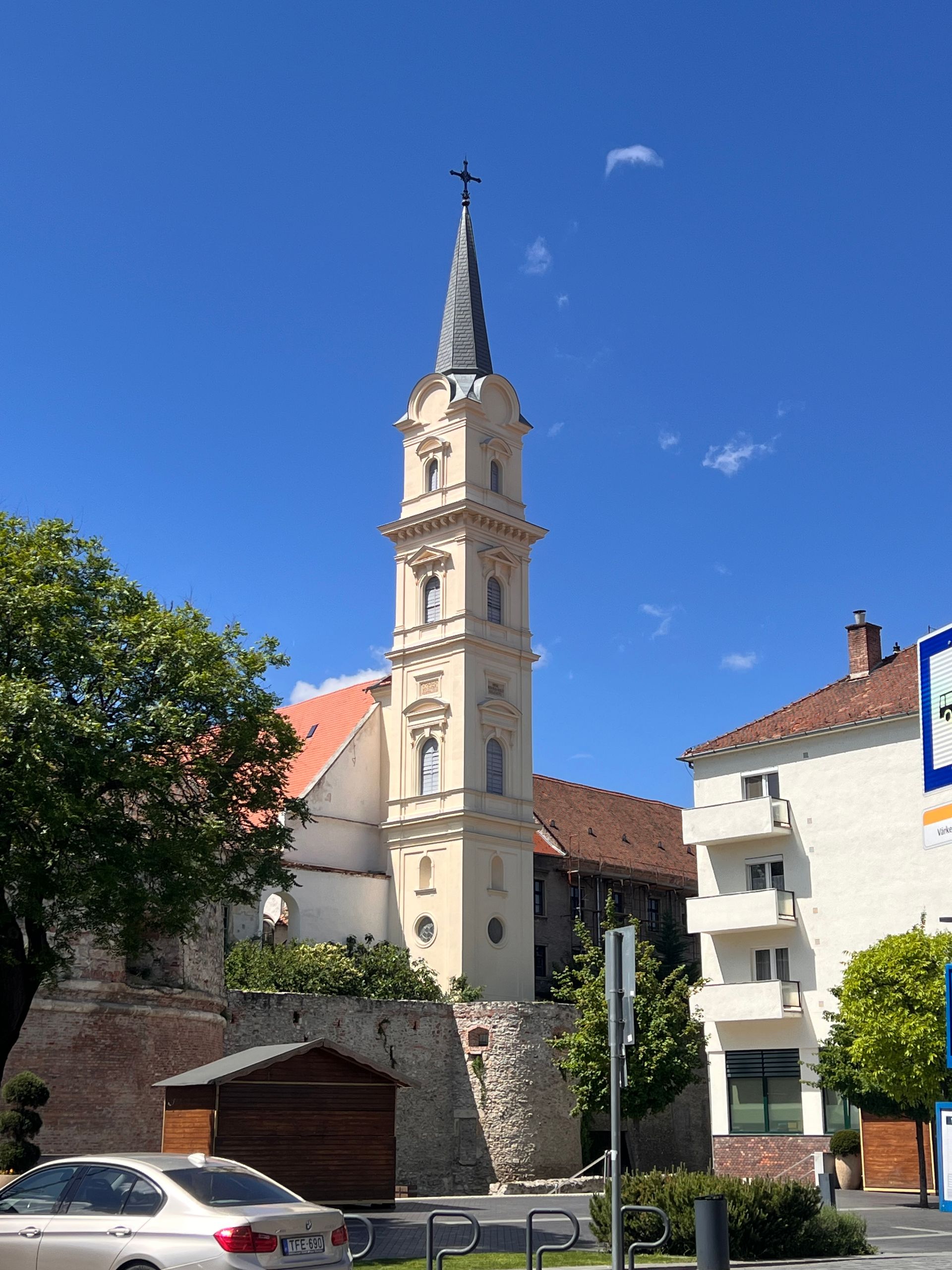
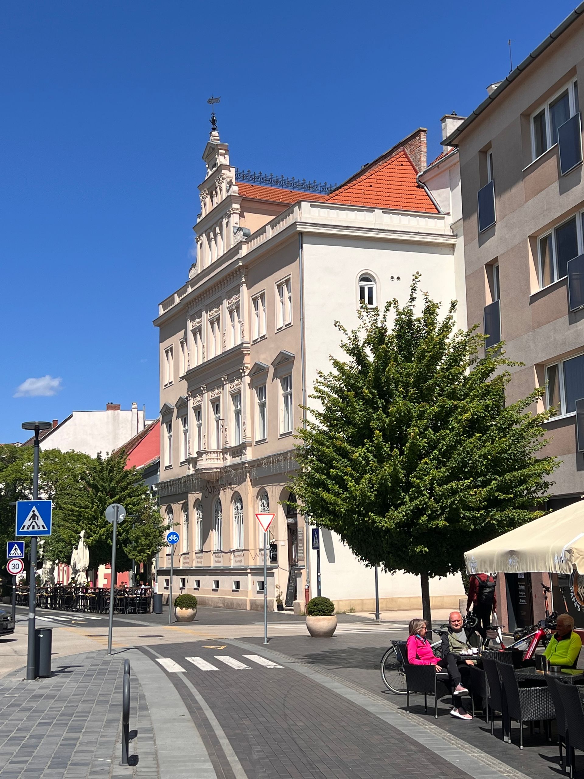
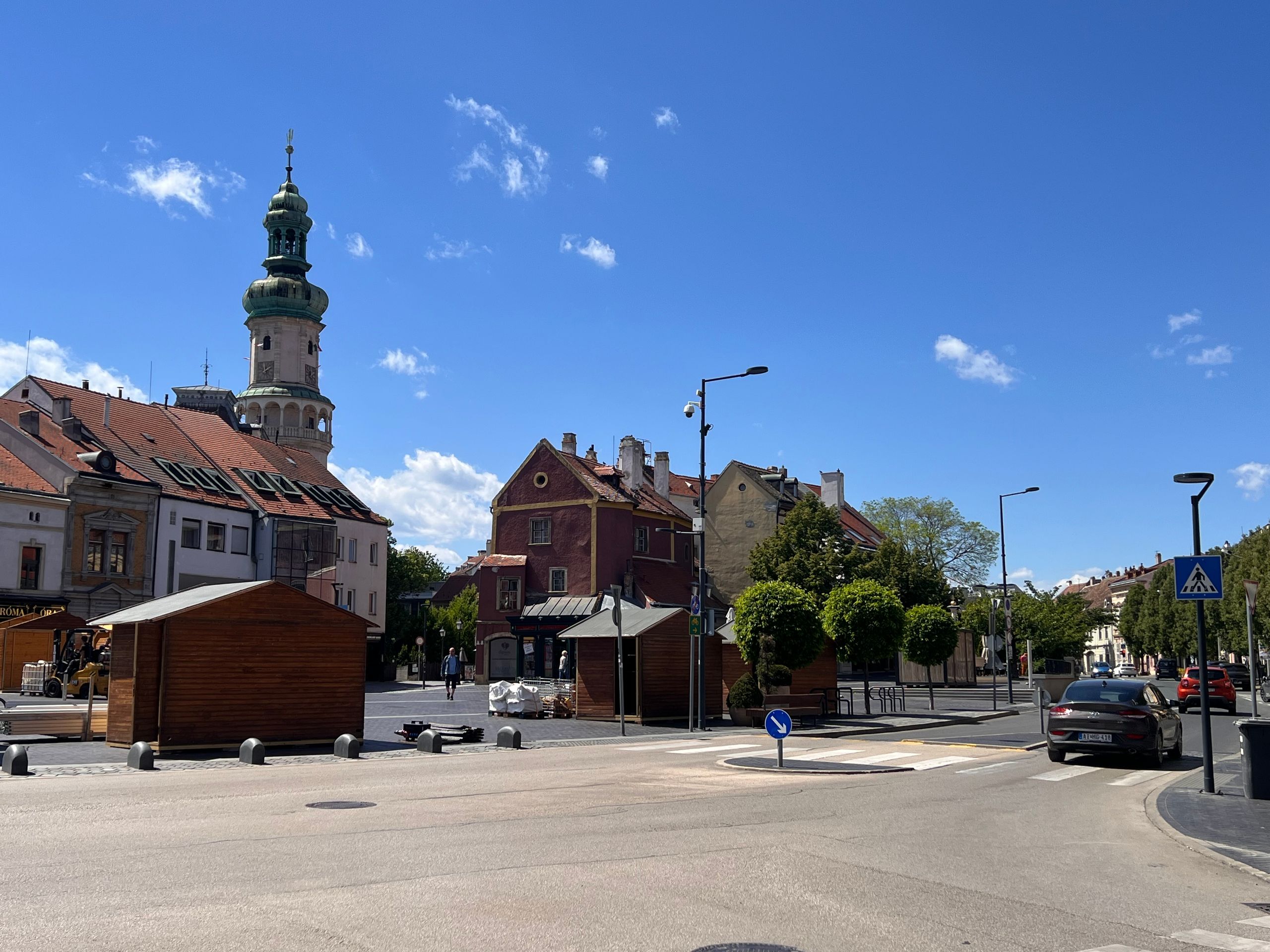
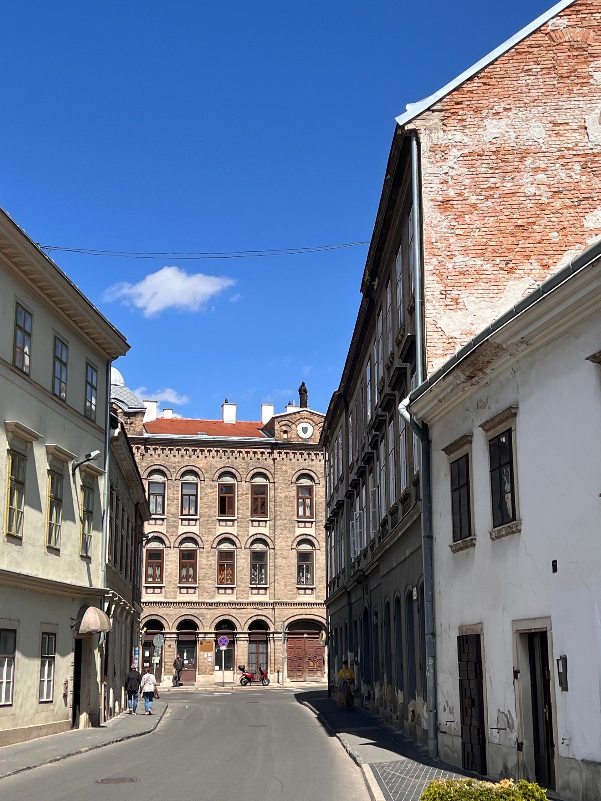
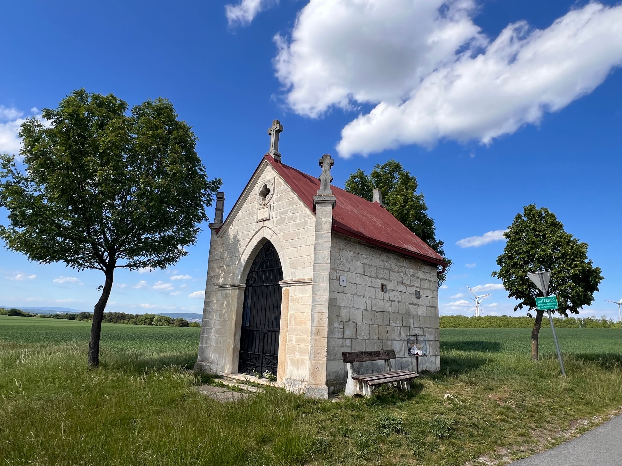
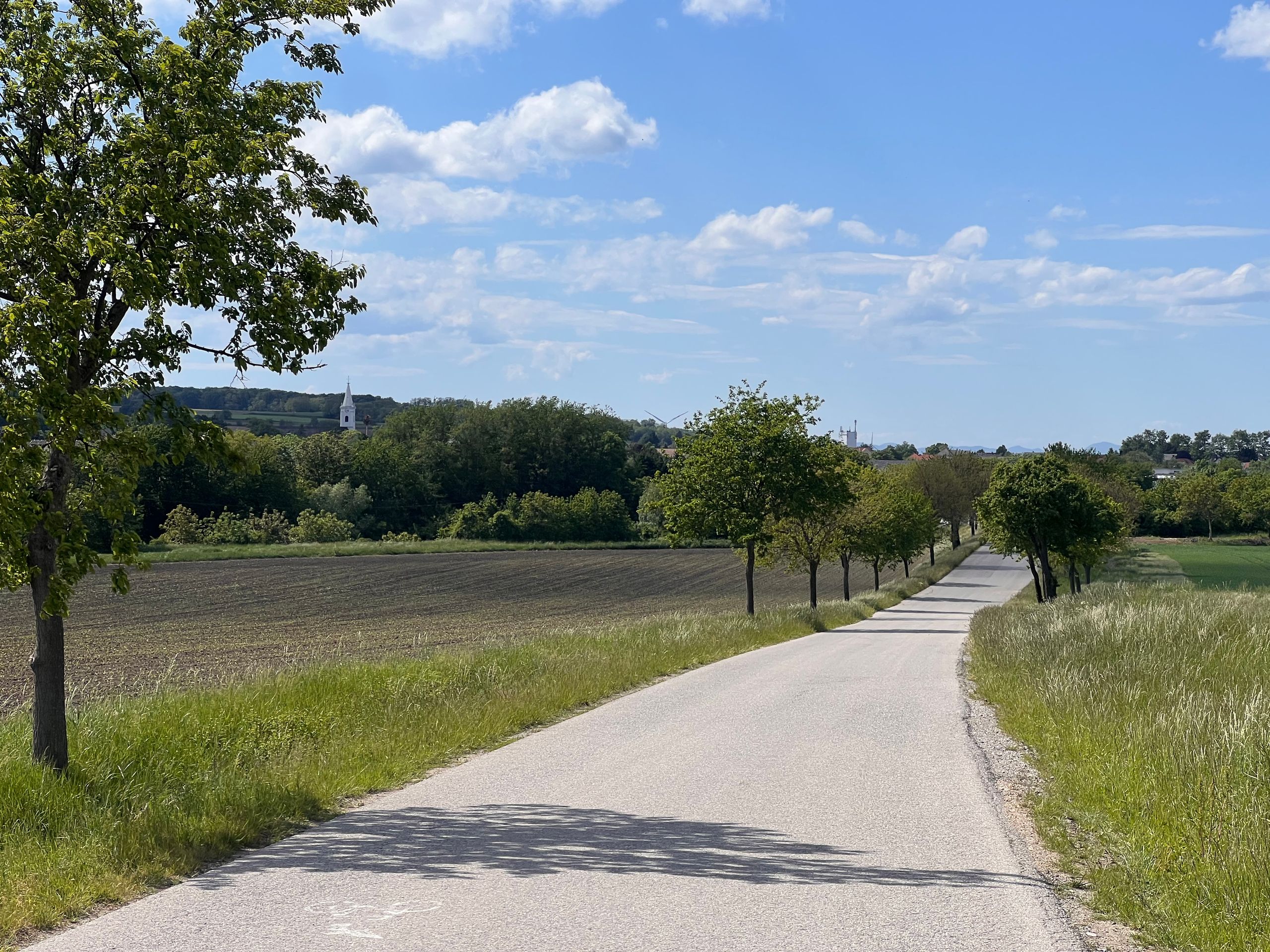
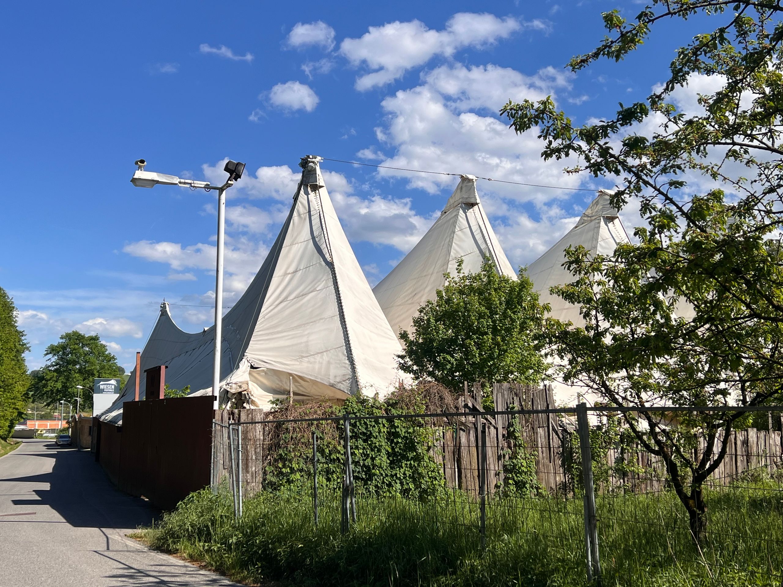
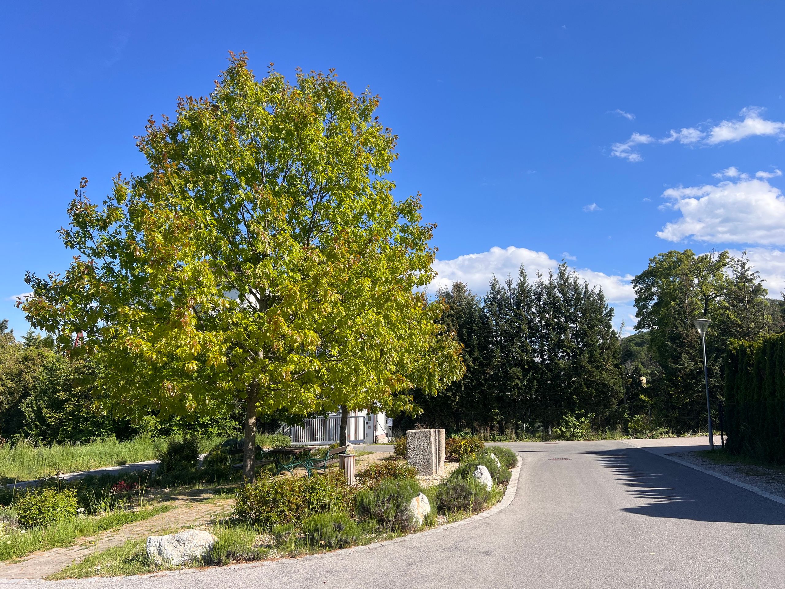
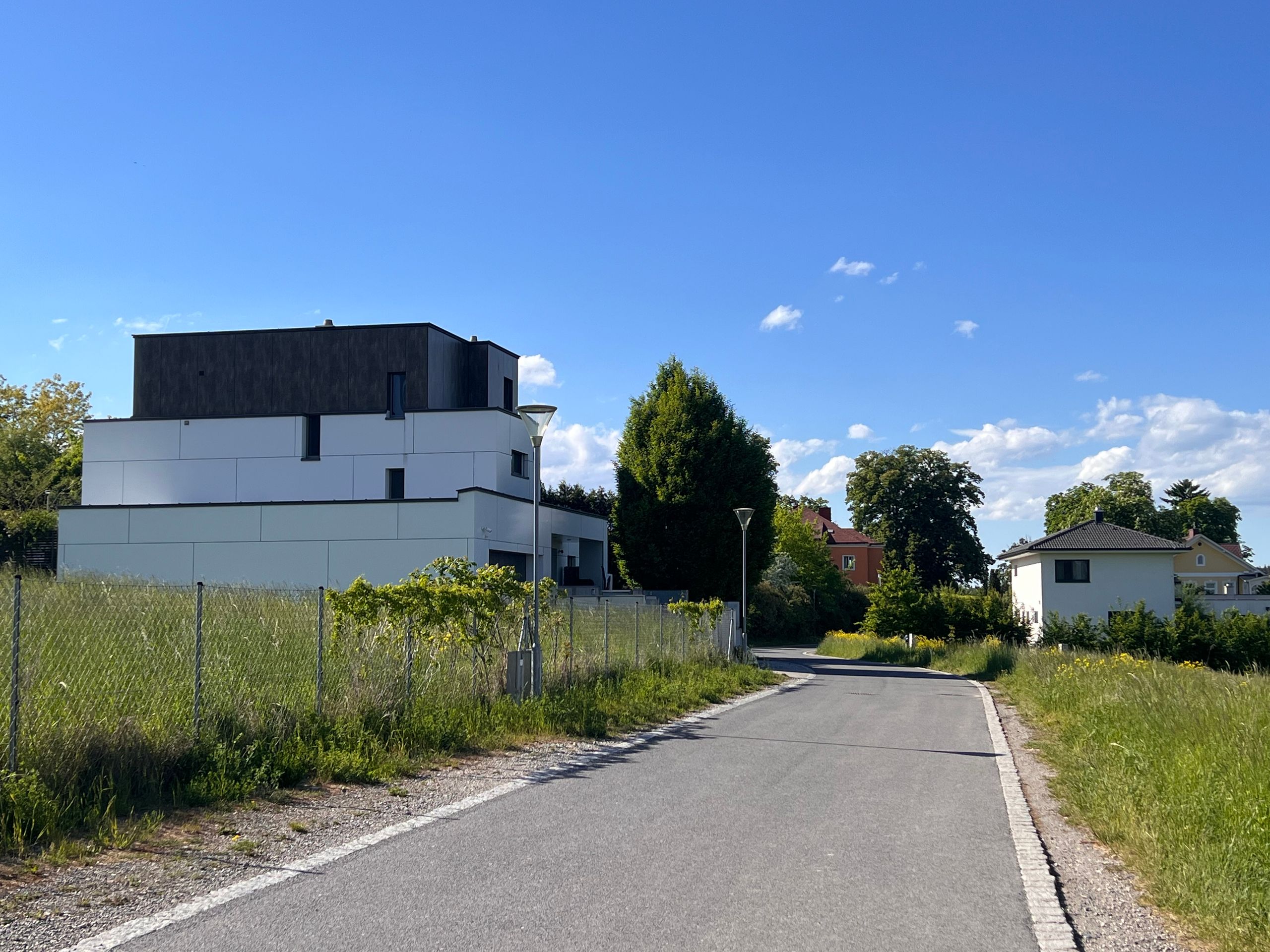
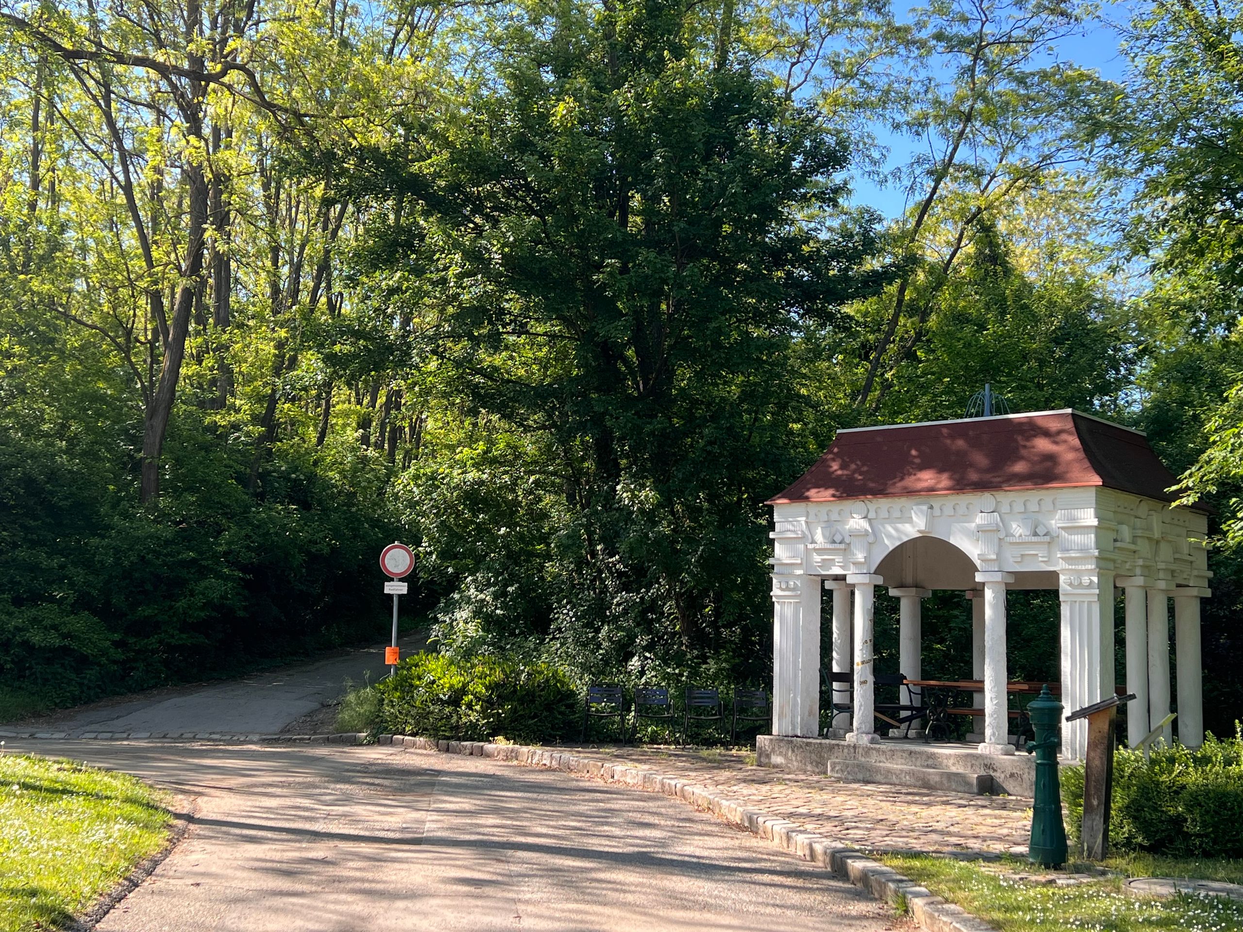
Walking through the city, I realised that a stroll the evening before would certainly have been nice. But with the strong wind, I just didn’t want to anymore. Outside the city, the route followed a path that was also labelled as such on Komoot. ‘Path’ can mean just about anything, and several times I've been stuck on a path or had to push my bike. This time it was a path that couldn’t touch me because I was so full of energy. The 3-kilometre-long path was really fun despite all sorts of adversities. You might be able to see that in the photos. This is one of the reasons why I love this way of travelling and why I prefer to be on my own. Do you understand that?
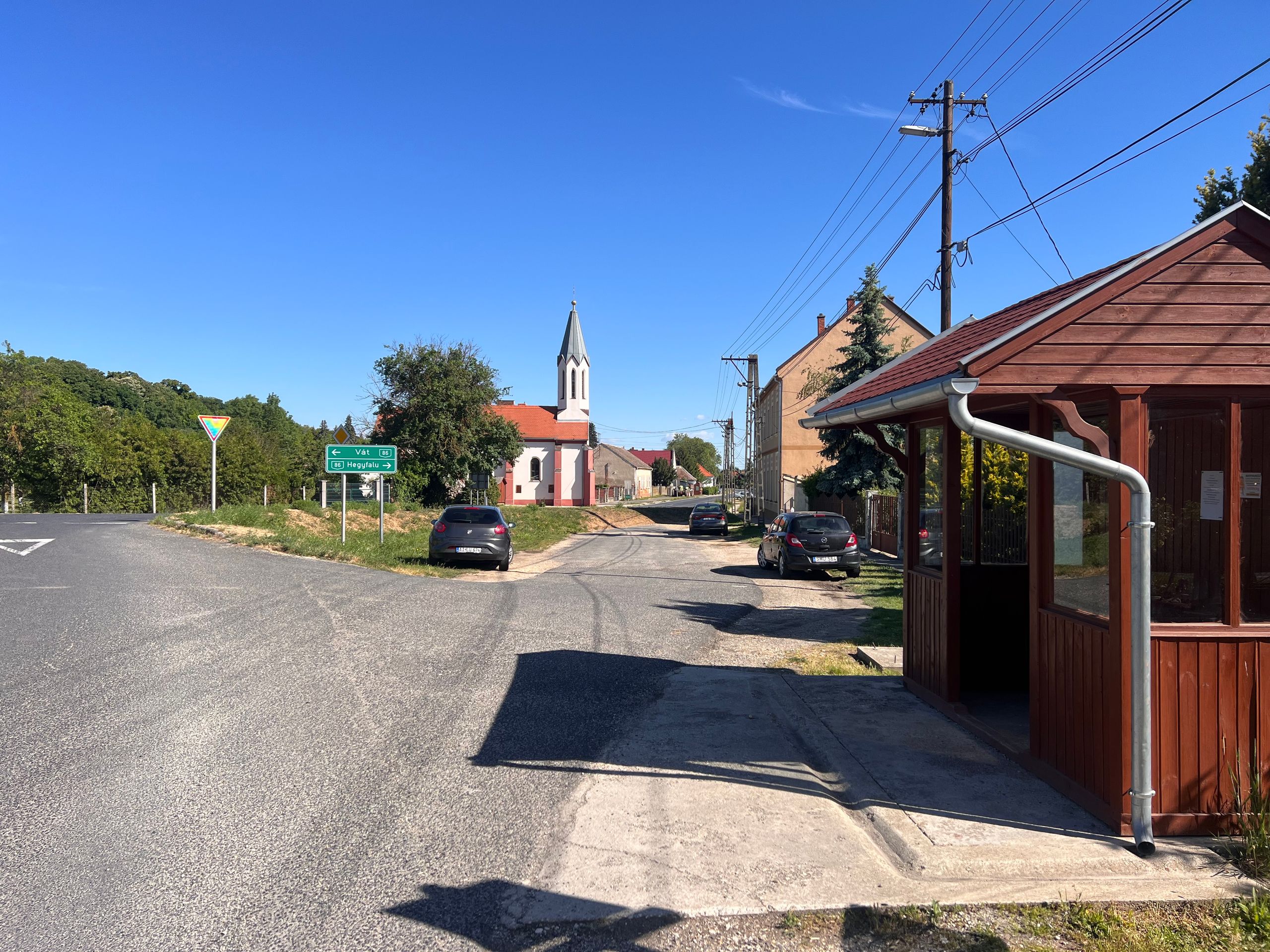
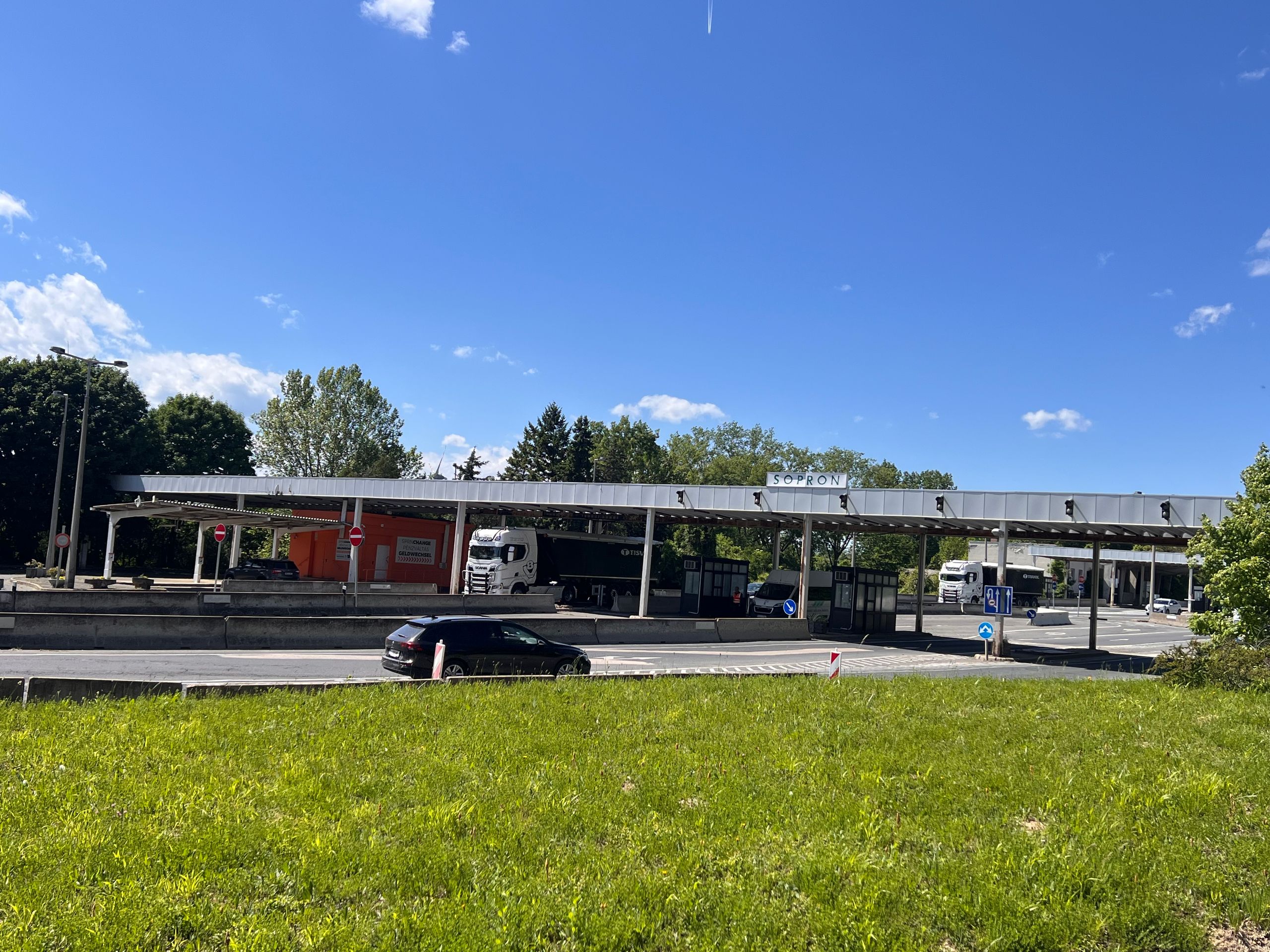
I had planned a short distance, just to the Austrian border. The last place I rode through is called Sopron. However, I didn't see this name anywhere, so I thought I wasn’t there yet. The place was called: Ödenburg. That is simply the German name for it. I never encountered this name during my preparations.
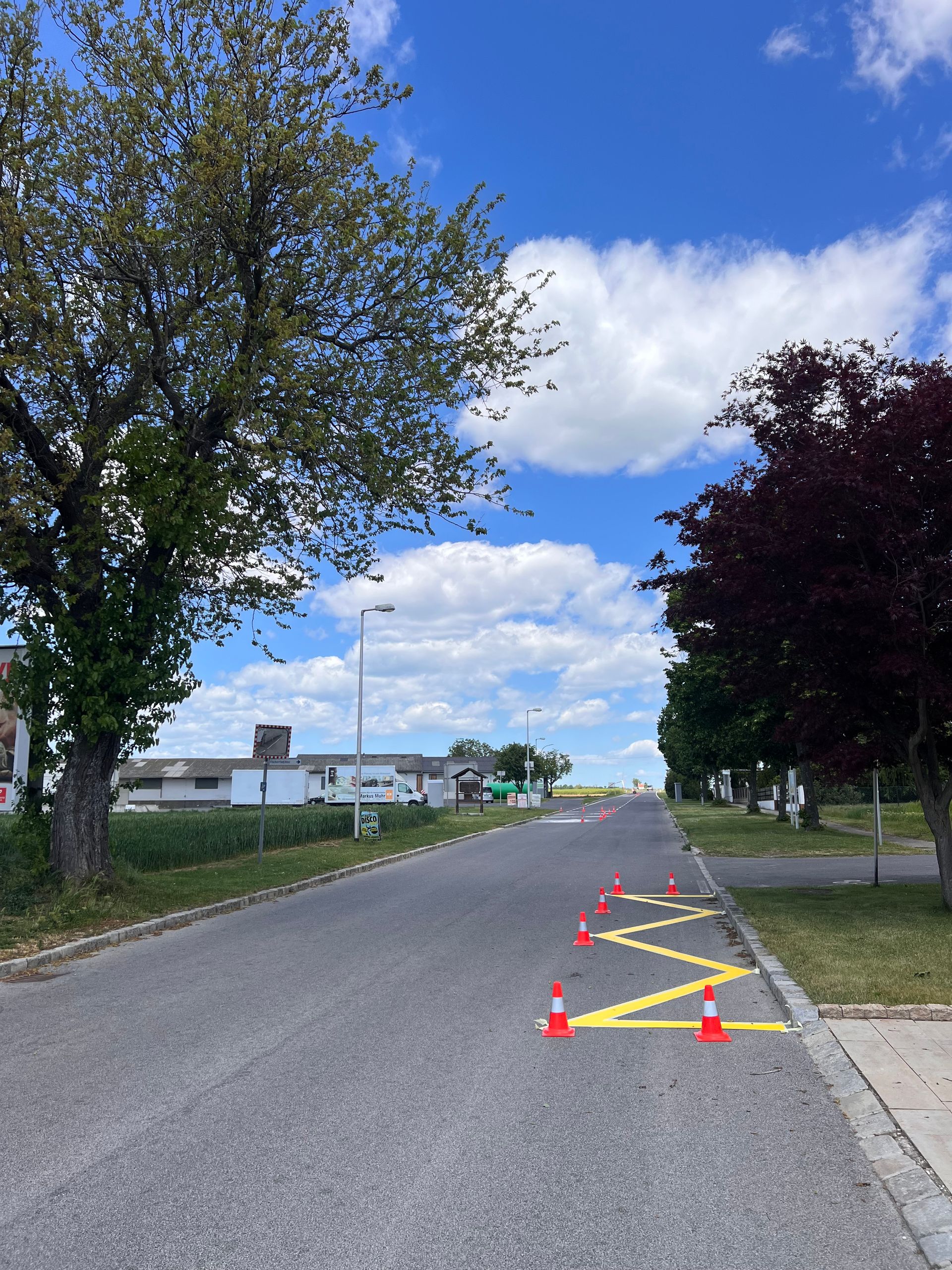
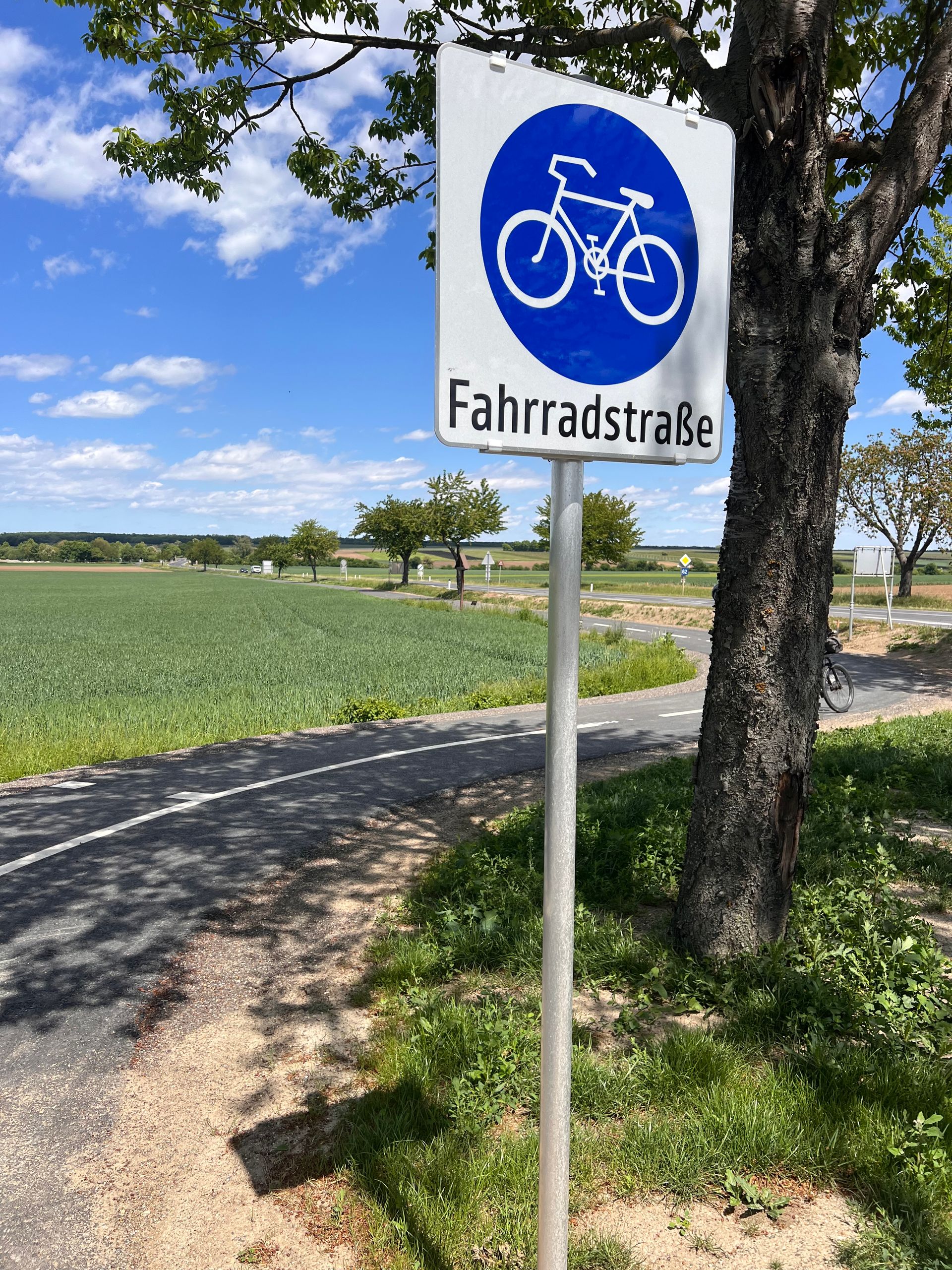
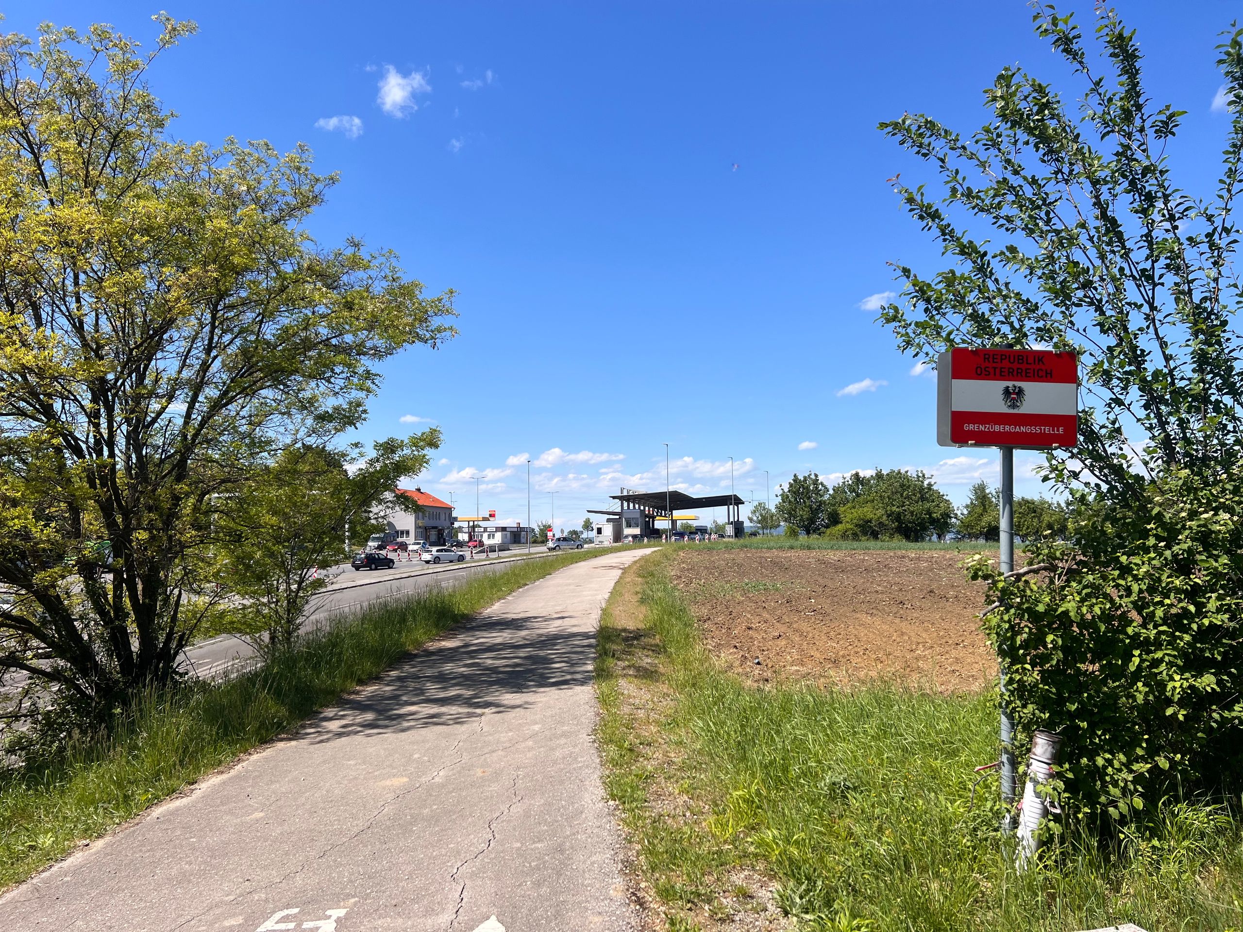
Crossing the border was easy. Getting across the streets by bike was not. Look at the route on Komoot; the path is almost impossible to find.
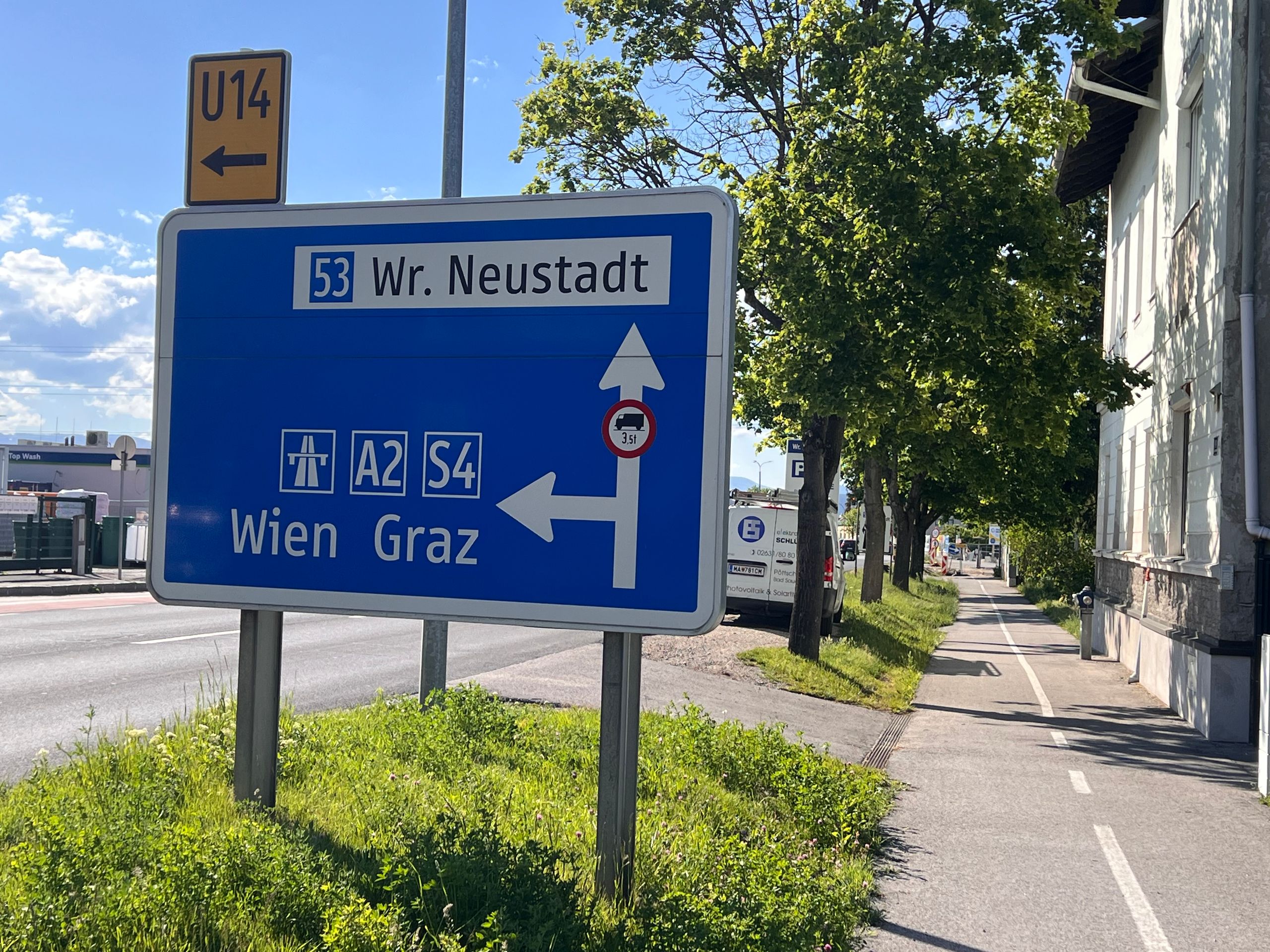
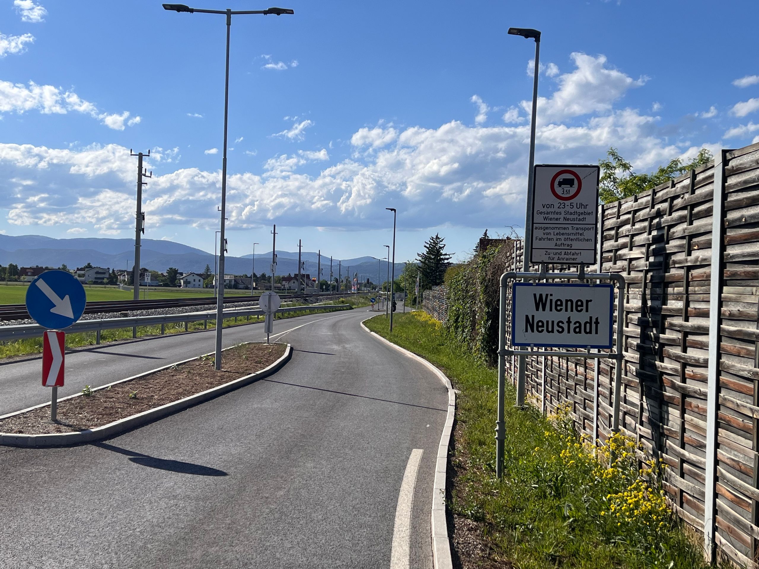
Shortly after the border, I was still full of energy and wanted to go a bit further. Finally, I found a hotel in Wiener Neustadt. But that was another 33 hilly kilometres. Unlike the last few days, the wind wasn’t so much against me; in fact, it even helped me at times. On the other hand, there was work being done on the railway line, which led to four additional diversions.
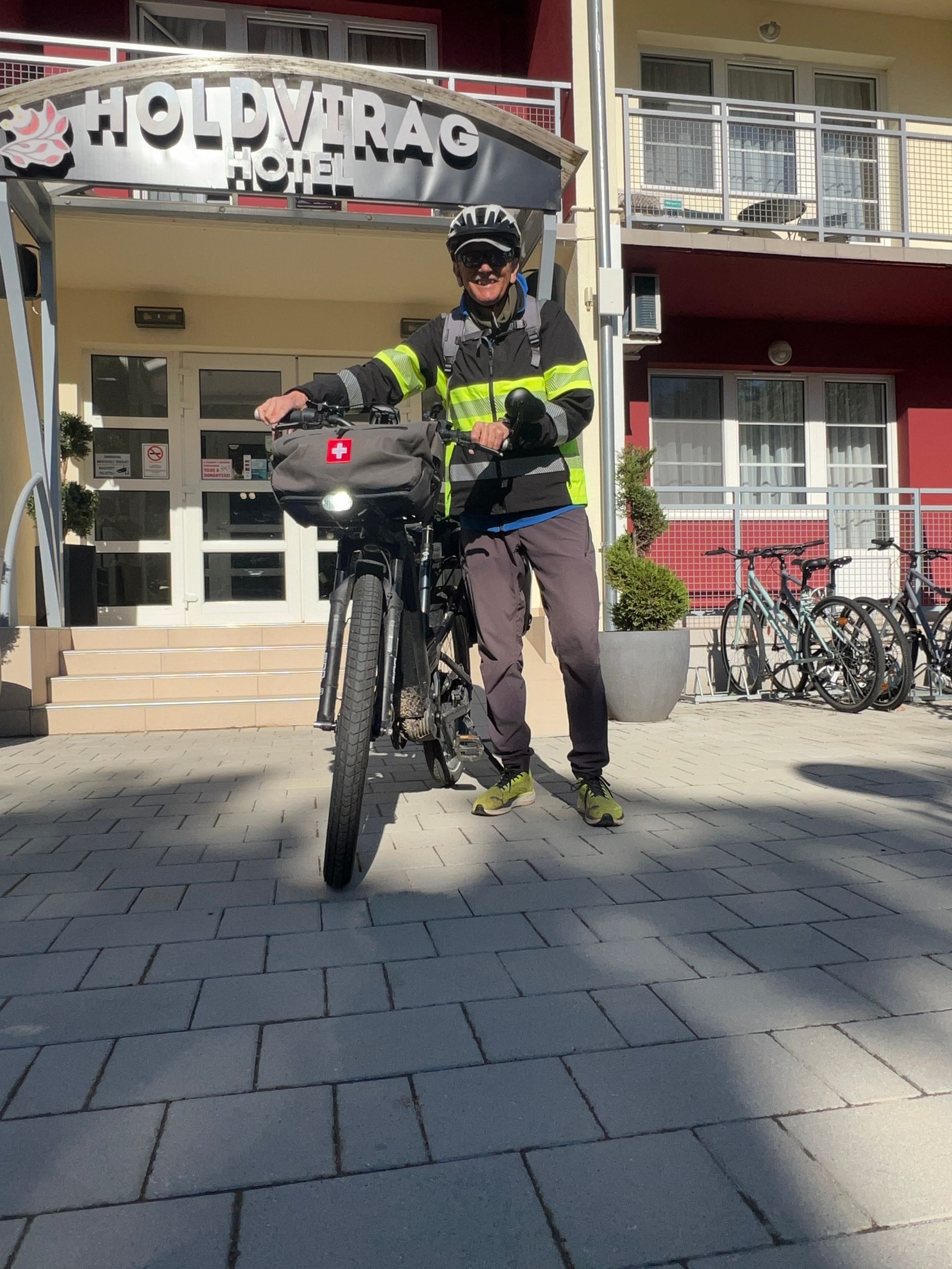
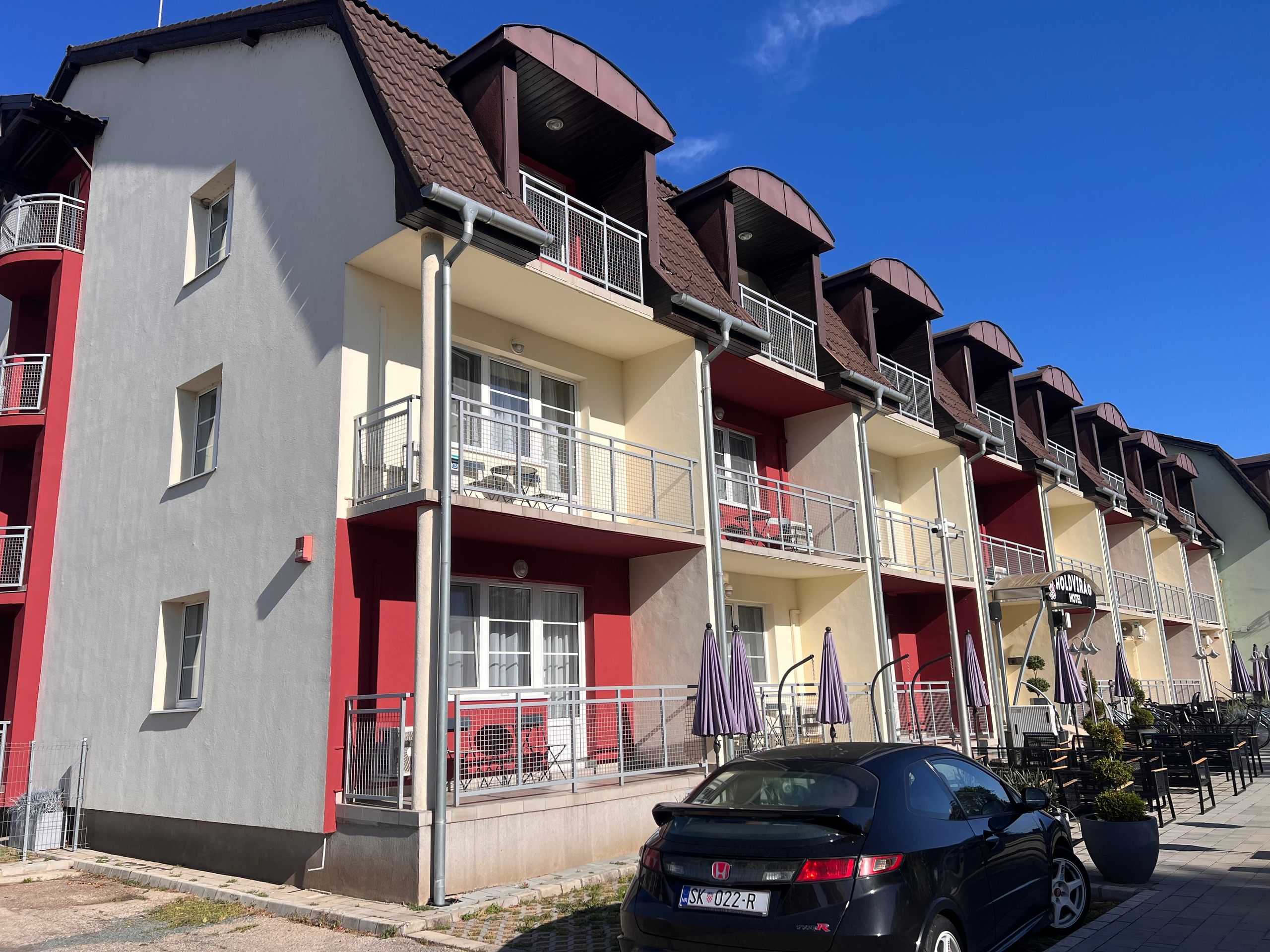
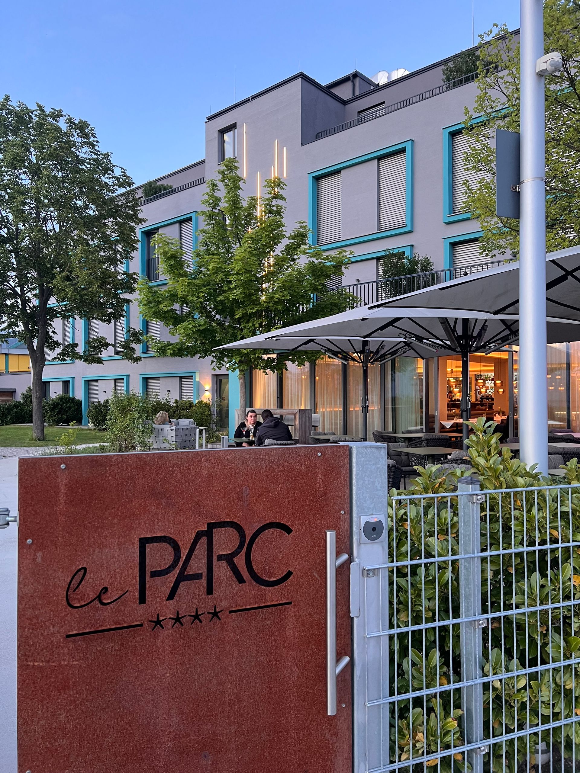
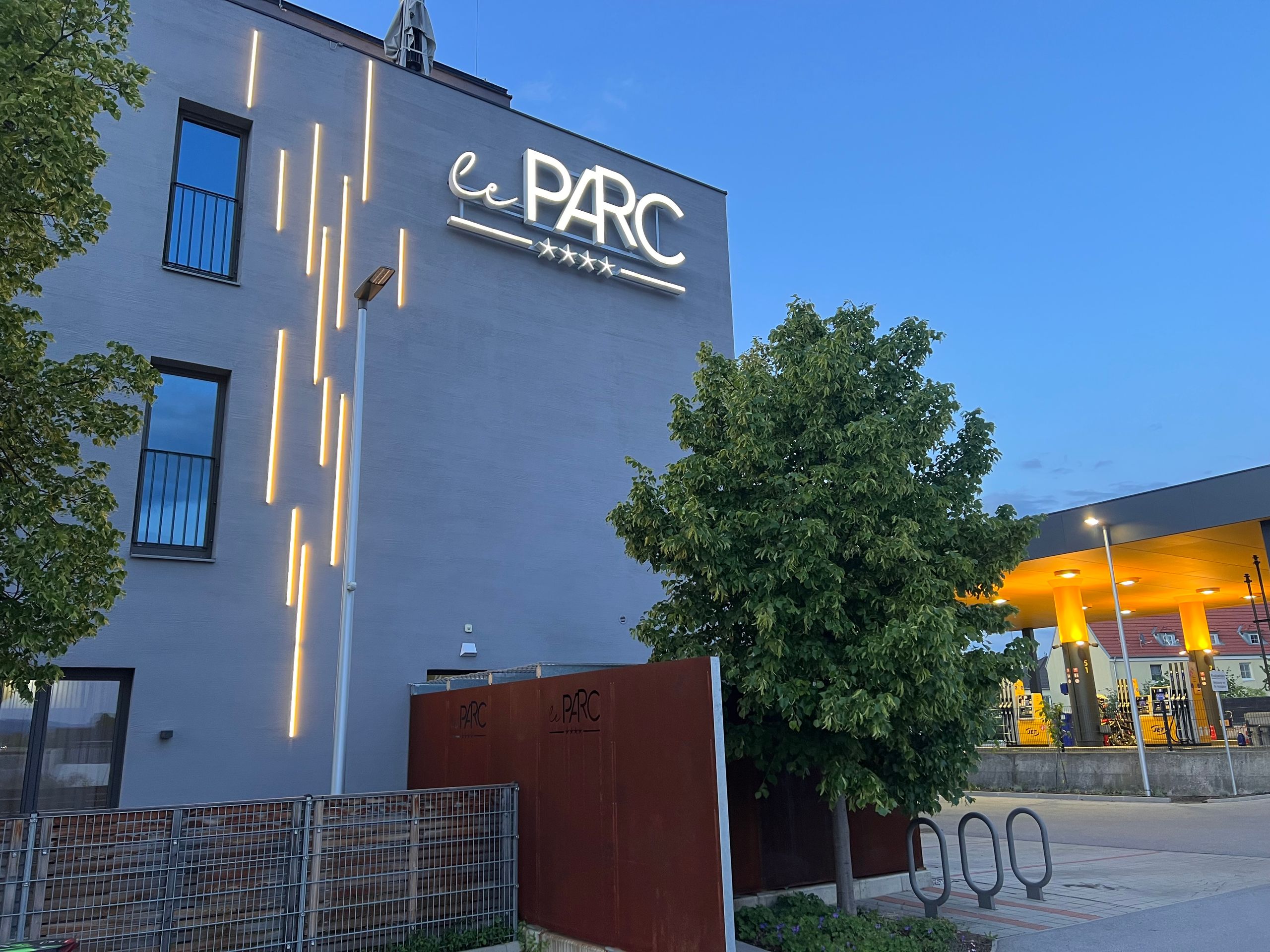
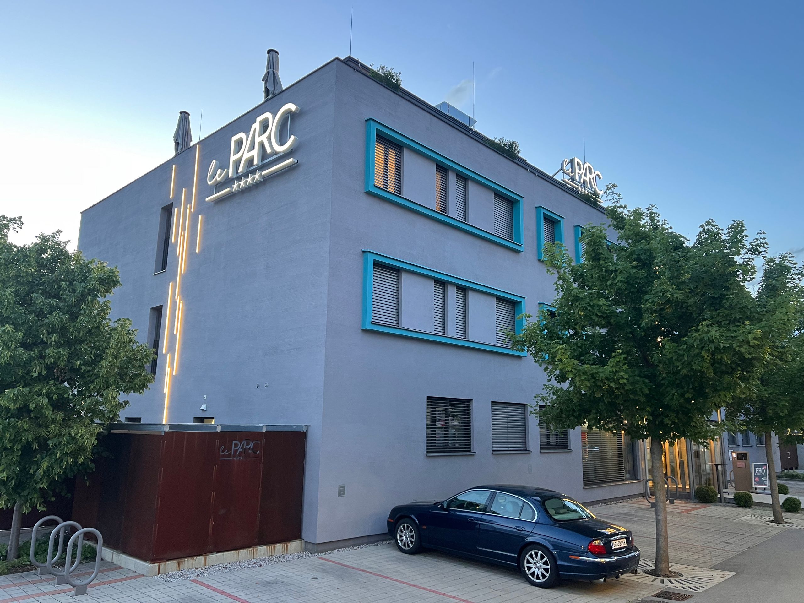
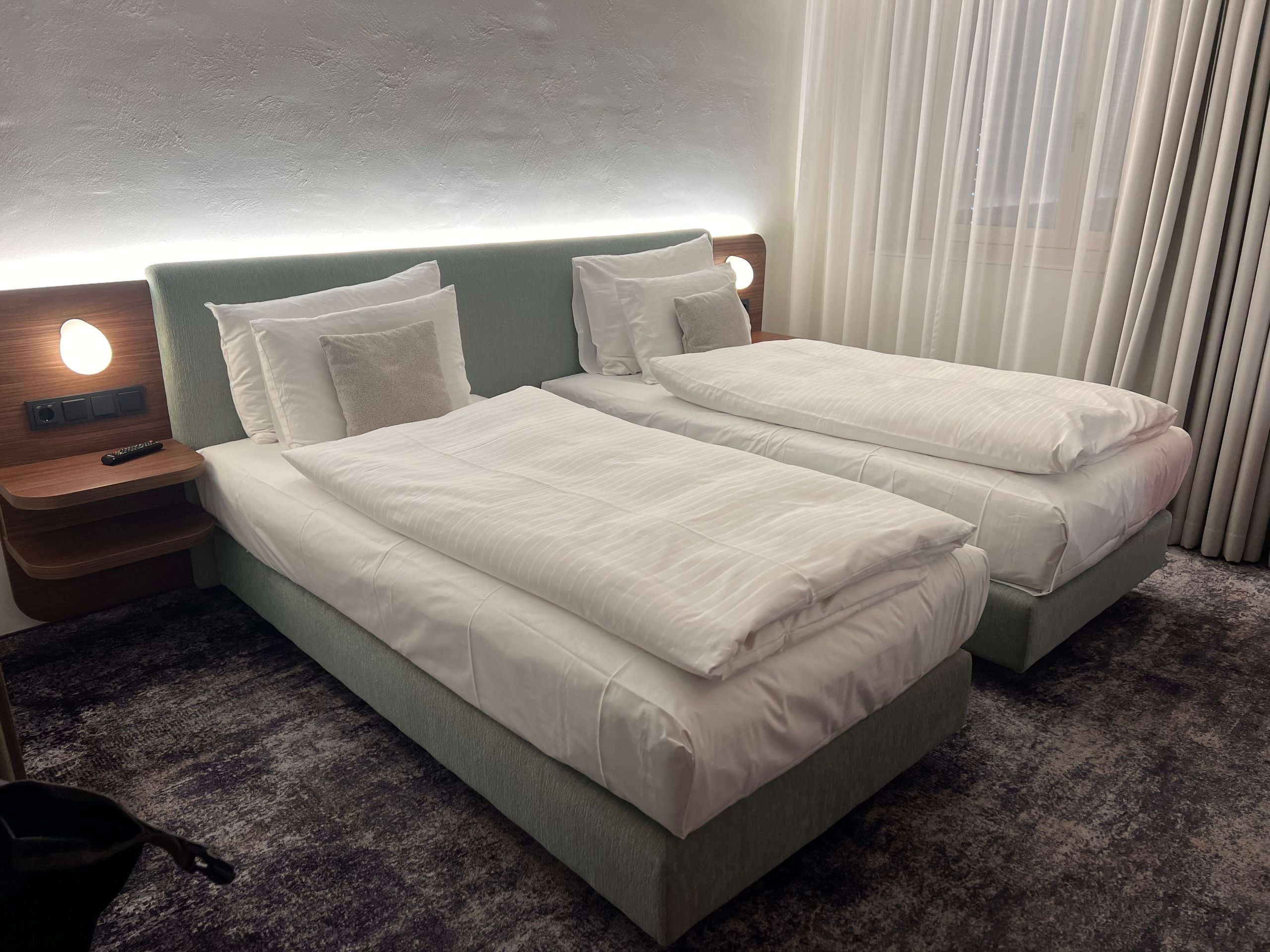
Ultimately, I arrived at the hotel in good time. To get to the hotel, I had to ride through a petrol station – an ideal opportunity to increase my tyre pressure. That’s probably the reason why my speedometer always shows a few more kilometres than the Komoot GPS.
***
English
**Route: 111 kilometers, cumulative: 1,053 kilometers | Elevation gain: 870 m, cumulative elevation gain: 4,129 m, distance from home: 619 kilometers (as the crow flies)**
I must admit that my original plan looked different. Actually, I wanted to ride all the way back to Vienna along the Danube. But I’ve already seen that, and a visit to Lake Balaton was very appealing to me. Additionally, I have enough of a time buffer and didn't even lose anything by taking this 'detour.' On the contrary, I’ve seen and experienced so much that I wouldn't want to miss it. But now I’m nearing the end of my circular tour; after Vienna, my journey will continue along the Danube as planned for a few more weeks. I’m happy if you continue to accompany me.
During the night, I woke up with severe pain in the middle toe of my left foot. I tried to relieve the pain by massaging it, unfortunately without success. I finally asked my friend AI. It suggested that it was probably due to my cycling shoes. To remedy the pain, it recommended elevating my foot. A bit sceptical, I did just that. And lo and behold: I slept wonderfully afterwards.
When I got up at 6 a.m. anyway, the sky was cloudless and a wonderful blue. This filled me with energy, and full of joy for today's tour, I started shortly after 8 a.m.
Walking through the city, I realised that a stroll the evening before would certainly have been nice. But with the strong wind, I just didn't want to anymore. Outside the city, the route followed a path that was also labelled as such on Komoot. 'Path' can mean just about anything, and several times I've been stuck on a path or had to push my bike. This time it was a path that couldn't touch me because I was so full of energy. The 3-kilometre-long path was really fun despite all sorts of adversities. You might be able to see that in the photos. This is one of the reasons why I love this way of travelling and why I prefer to be on my own. Do you understand that?
I had planned a short distance, just to the Austrian border. The last place I rode through is called Sopron. However, I didn't see this name anywhere, so I thought I wasn't there yet. The place was called: Ödenburg. That is simply the German name for it. I never encountered this name during my preparations.
Crossing the border was easy. Getting across the streets by bike was not. Look at the route on Komoot; the path is almost impossible to find.
Shortly after the border, I was still full of energy and wanted to go a bit further. Finally, I found a hotel in Wiener Neustadt. But that was another 33 hilly kilometres. Unlike the last few days, the wind wasn't so much against me; in fact, it even helped me at times. On the other hand, there was work being done on the railway line, which led to four additional diversions.
Ultimately, I arrived at the hotel in good time. To get to the hotel, I had to ride through a petrol station – an ideal opportunity to increase my tyre pressure. That’s probably the reason why my speedometer always shows a few more kilometres than the Komoot GPS.
***
Español
**Ruta: 111 kilómetros, acumulado: 1.053 kilómetros | Desnivel: 870 m, desnivel acumulado: 4.129 m, distancia desde casa: 619 kilómetros (en línea recta)**
Debo admitir que mi plan original era diferente. En realidad, quería volver a Viena siguiendo todo el camino por el Danubio. Pero eso ya lo he visto, y una visita al lago Balatón me resultaba muy atractiva. Además, tengo suficiente margen y con este «desvío» ni siquiera he perdido tiempo. Al contrario, he visto y vivido tanto que no me lo querría haber perdido. Pero ahora estoy llegando al final de mi ruta circular; después de Viena, mi viaje continuará según lo previsto por el Danubio durante unas semanas más. Me alegra que me sigas acompañando.
Durante la noche me desperté con un fuerte dolor en el dedo medio del pie izquierdo. Intenté aliviar el dolor con masajes, pero lamentablemente sin éxito. Finalmente, consulté a mi amigo IA. Me dijo que probablemente se debía a mis zapatillas de ciclismo. Para remediar el dolor, me recomendó poner el pie en alto. Un poco escéptico, lo hice. Y para mi sorpresa, después dormí de maravilla.
Cuando me levanté a las 6 de la mañana a pesar de todo, el cielo estaba despejado y de un azul maravilloso. Esto me llenó de energía y, con mucha ilusión por la etapa de hoy, me puse en marcha poco después de las 8.
Al atravesar la ciudad, me di cuenta de que un paseo la noche anterior habría sido agradable. Pero con el fuerte viento, simplemente ya no tenía ganas. Fuera de la ciudad, la ruta seguía un camino que también aparecía como tal en Komoot.