Norway-North Cape September 1-17, 2025 September 14
main church

Published: 02.10.2025
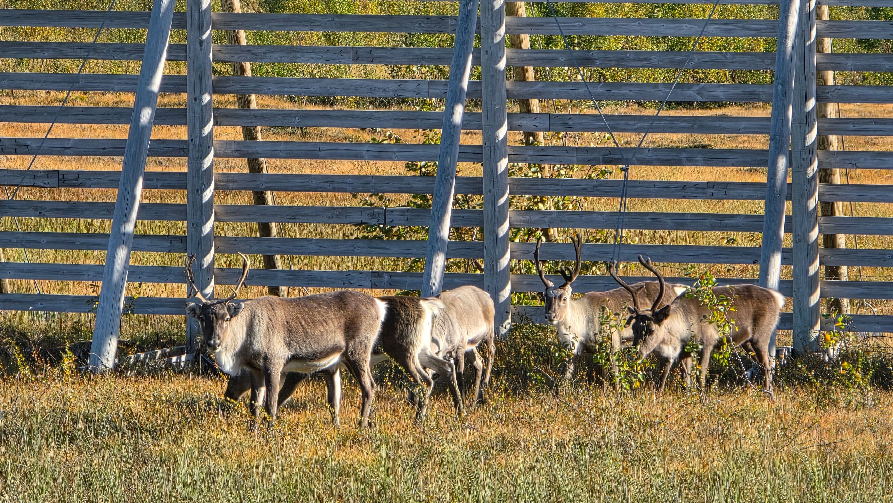
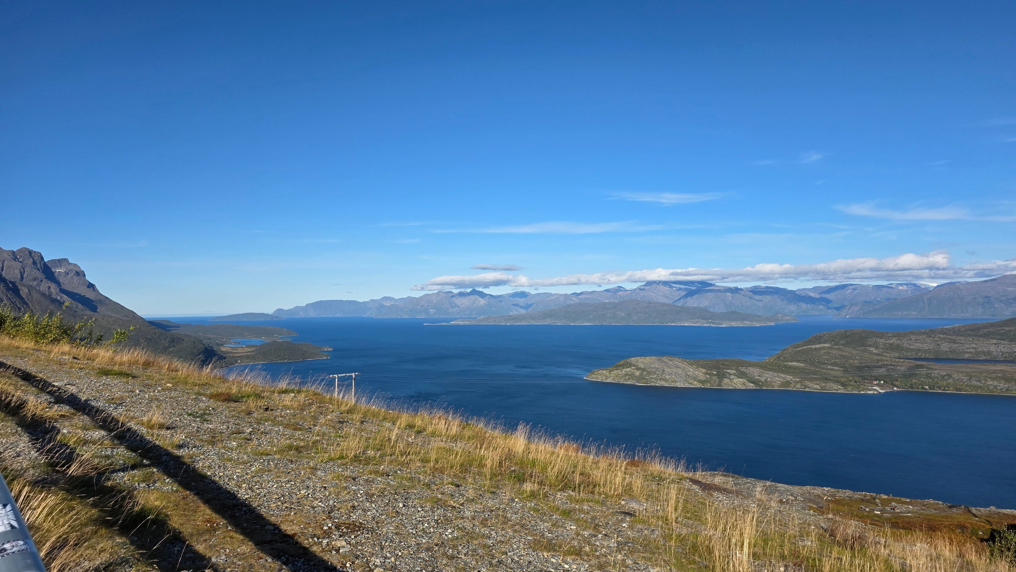
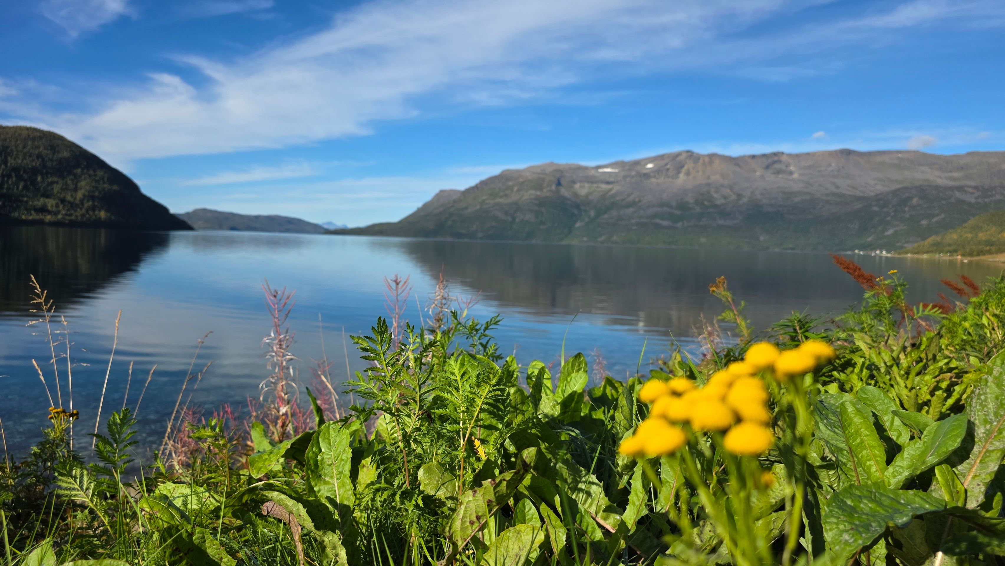
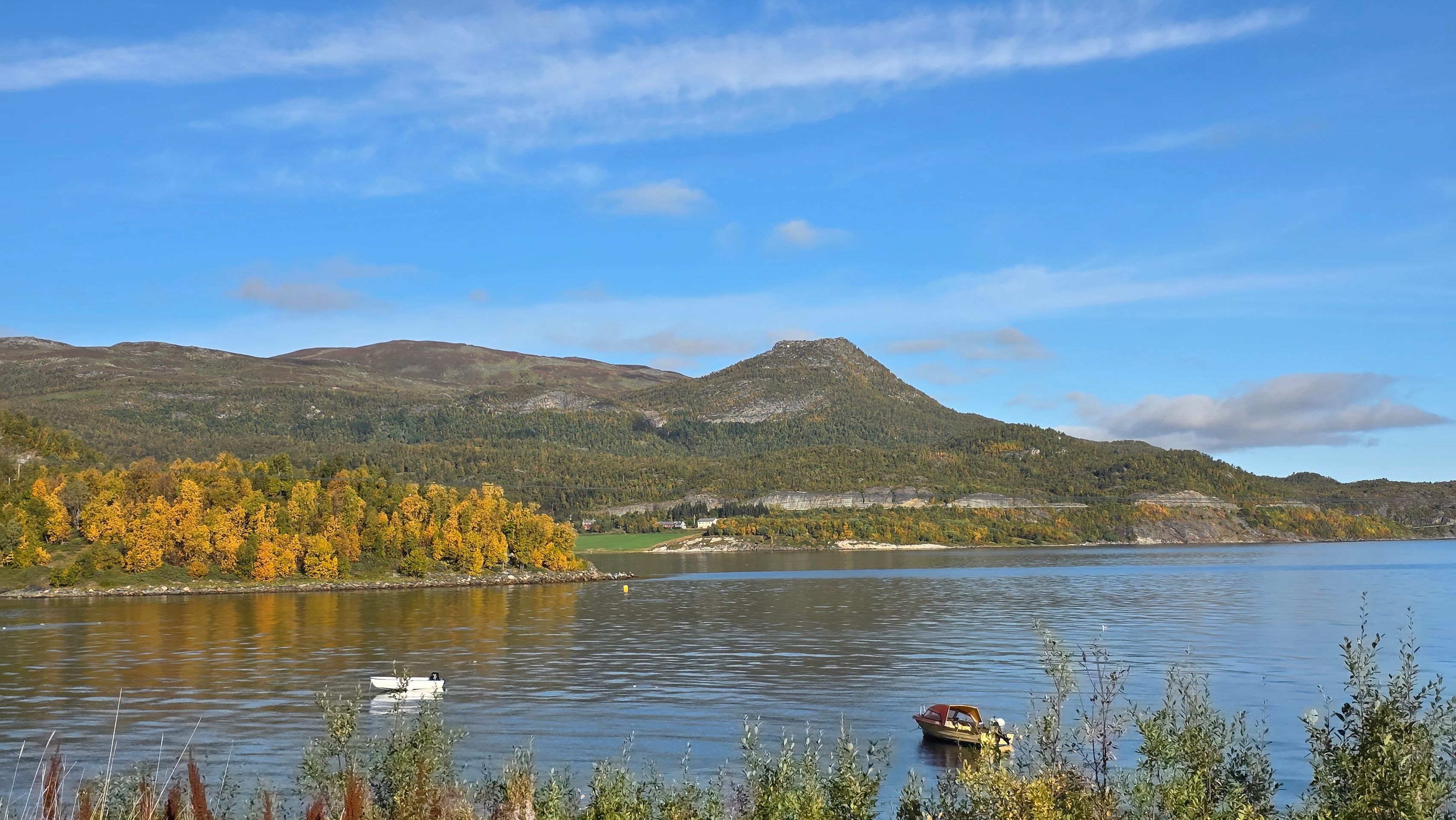
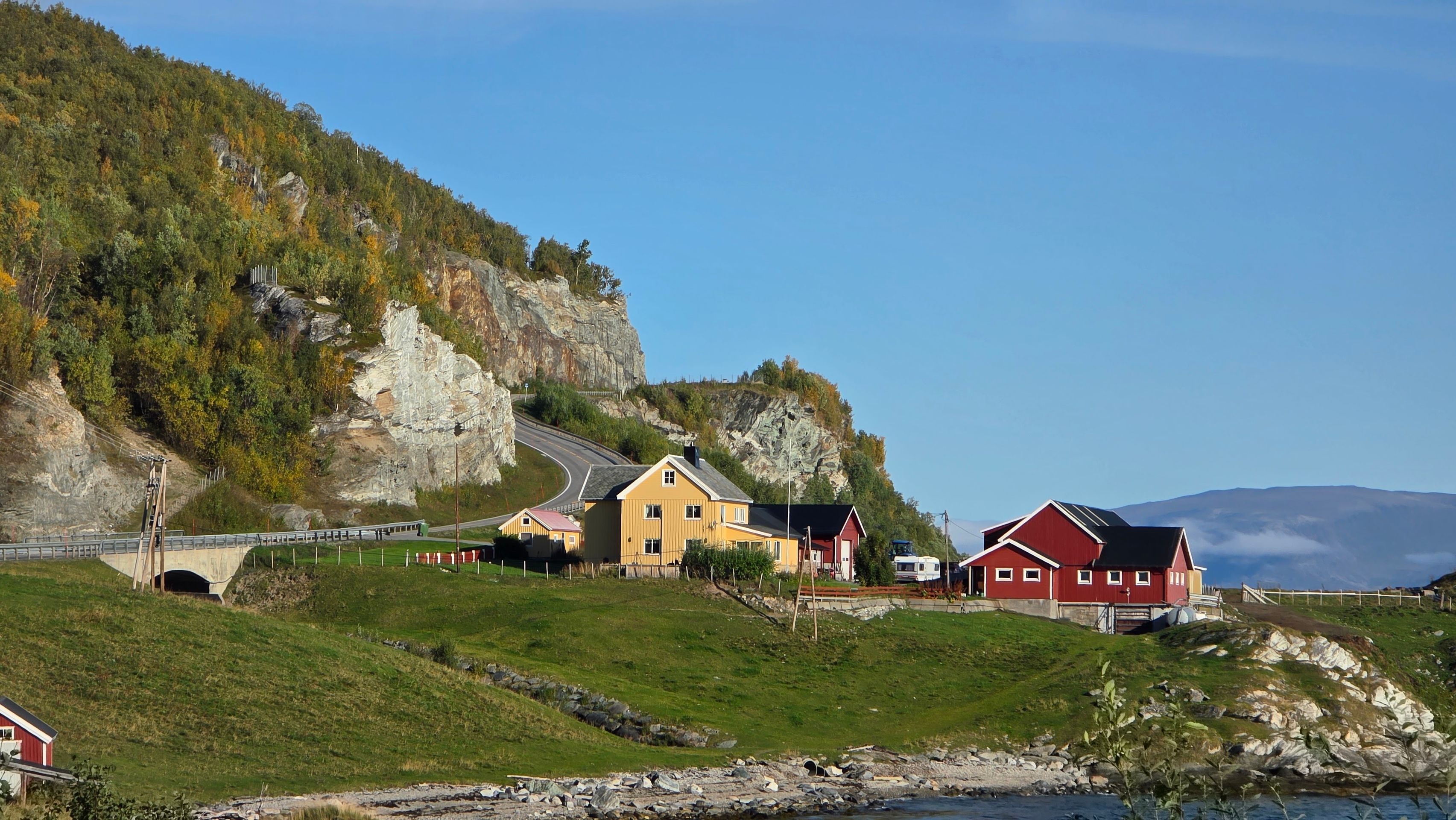
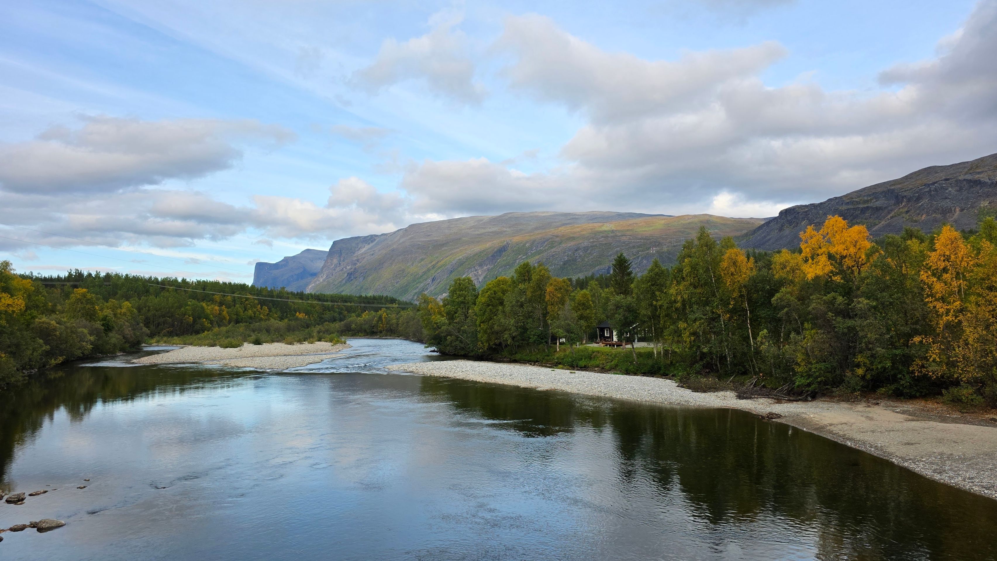
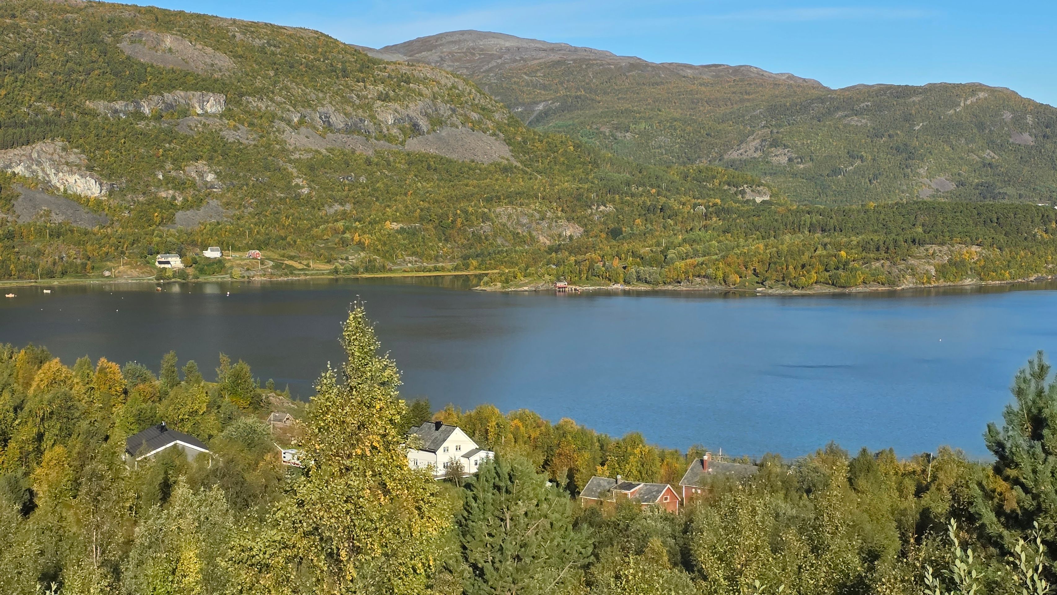
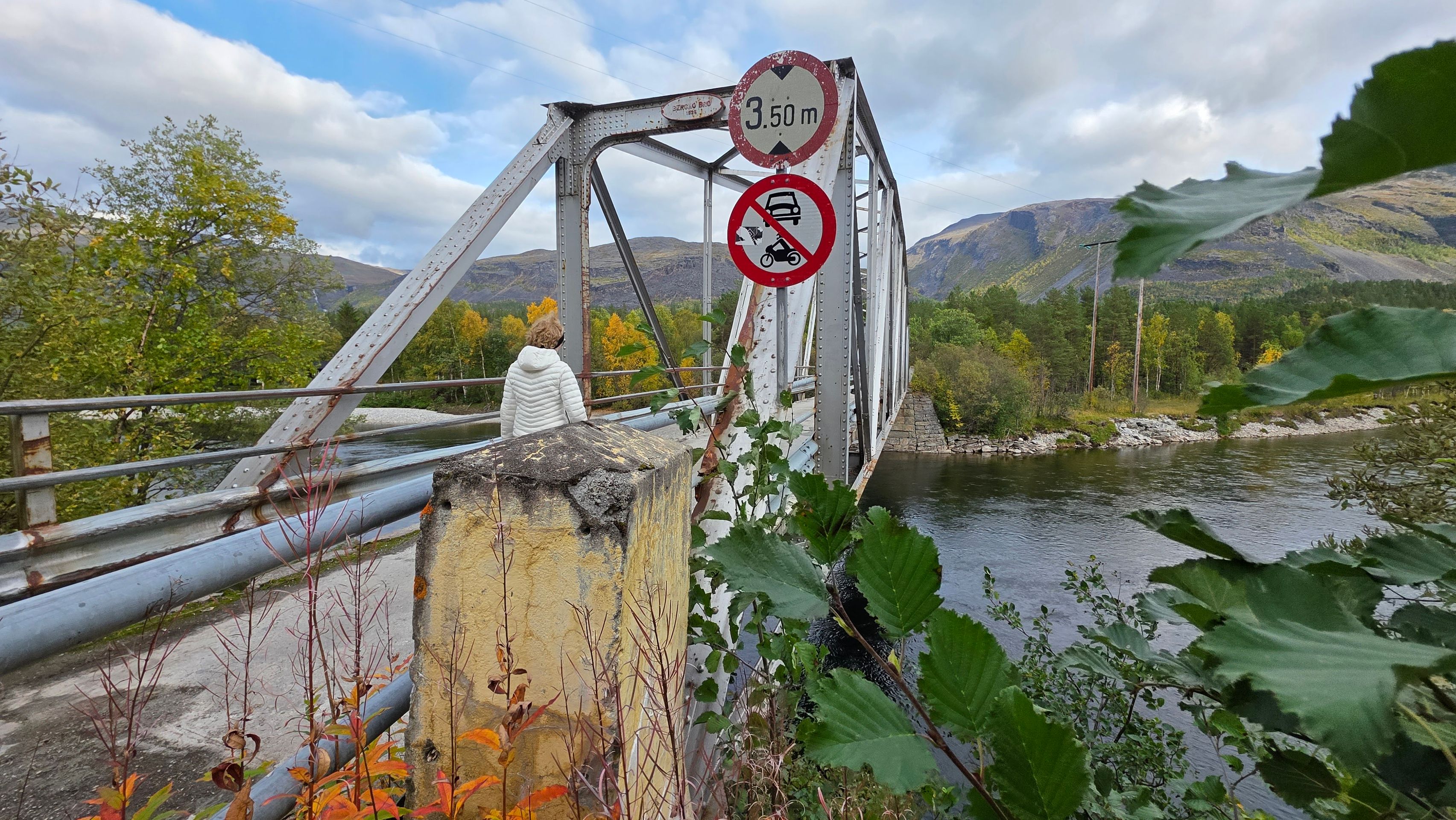
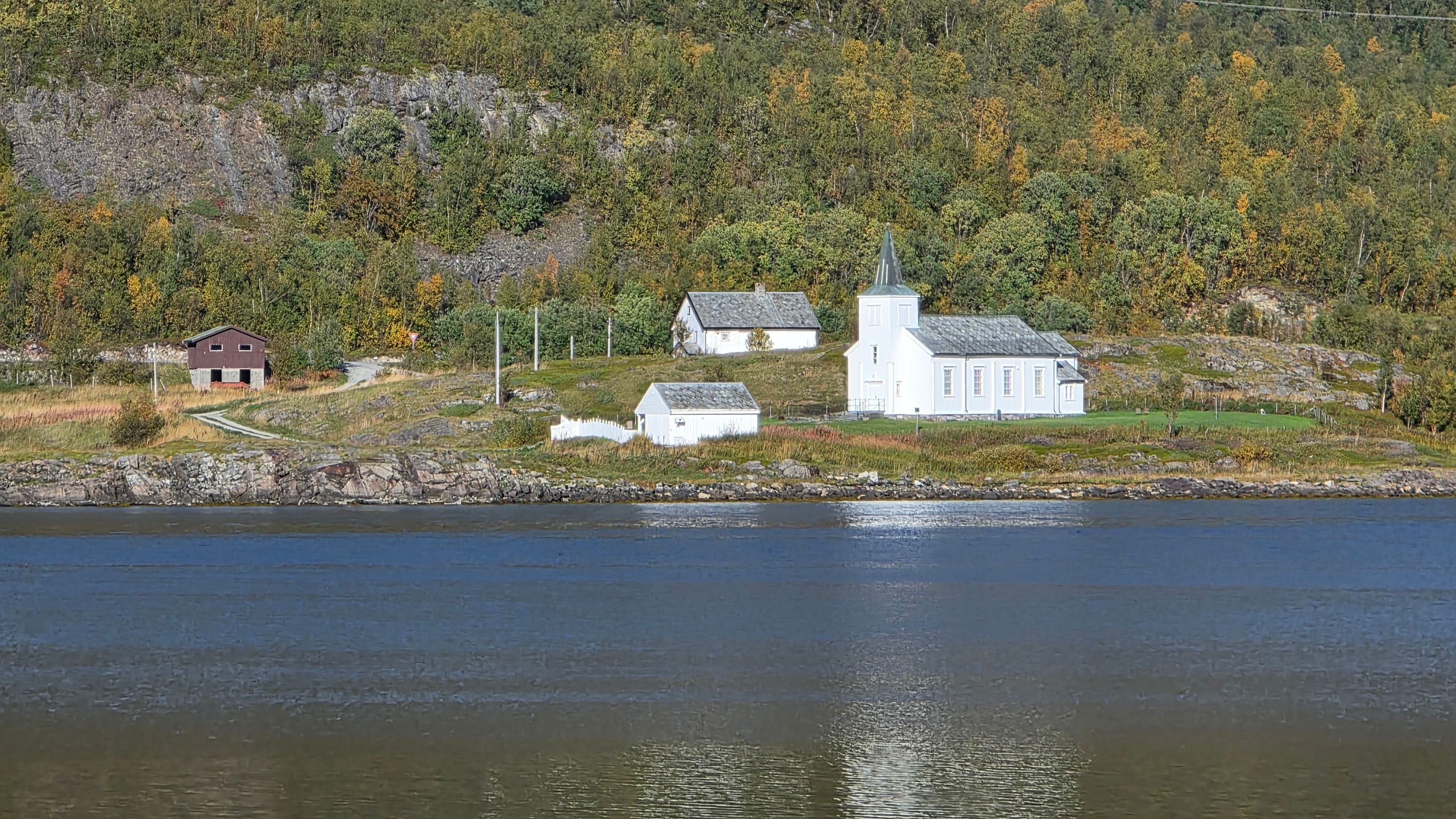
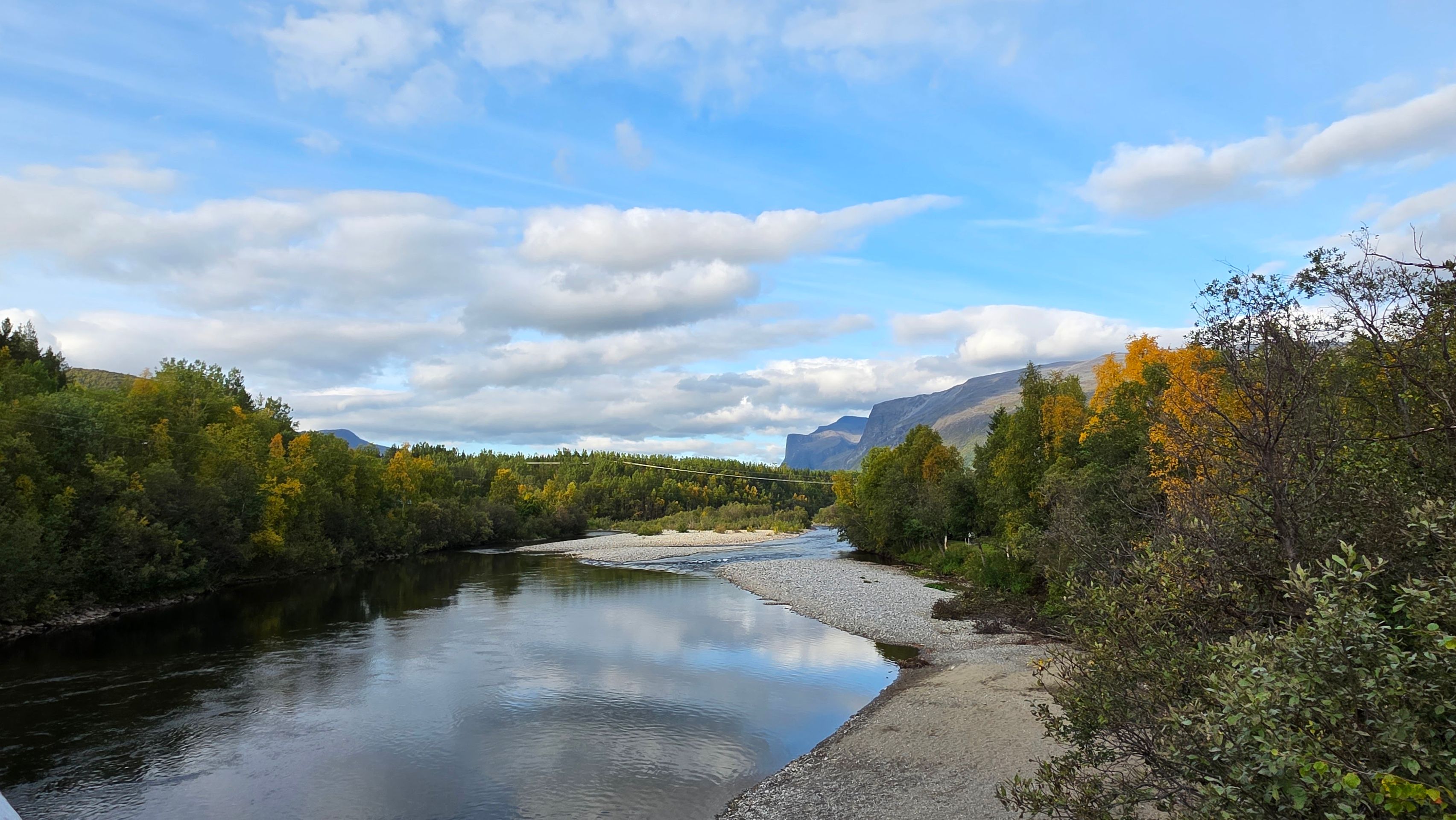
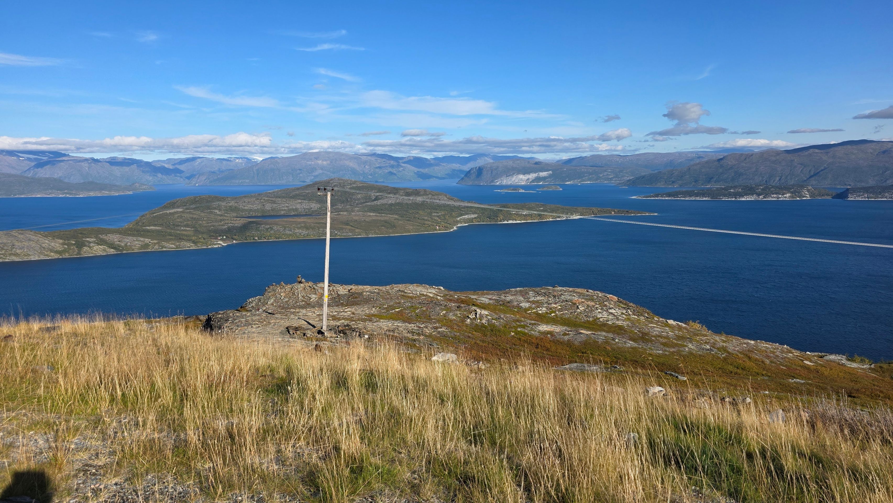
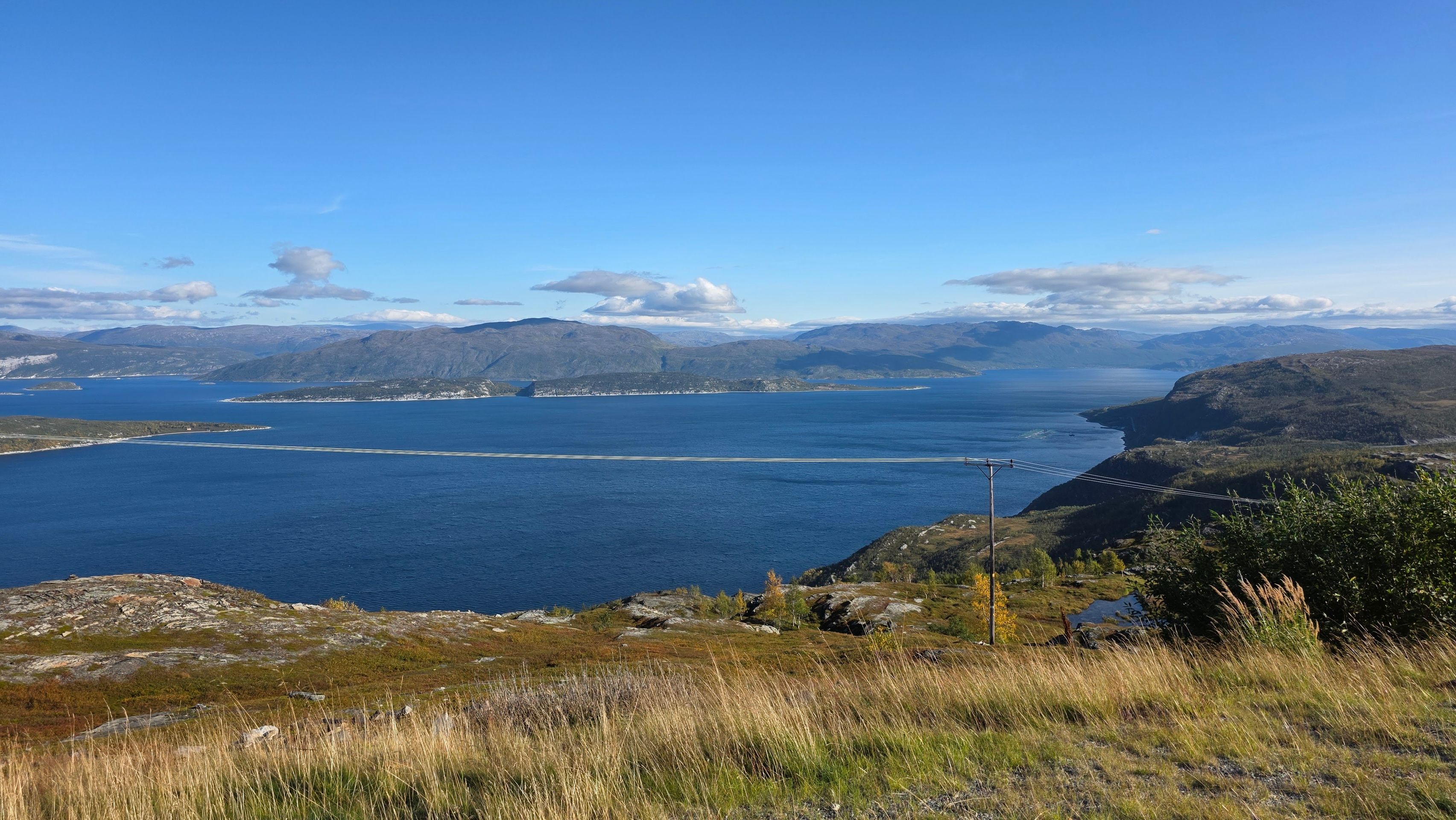
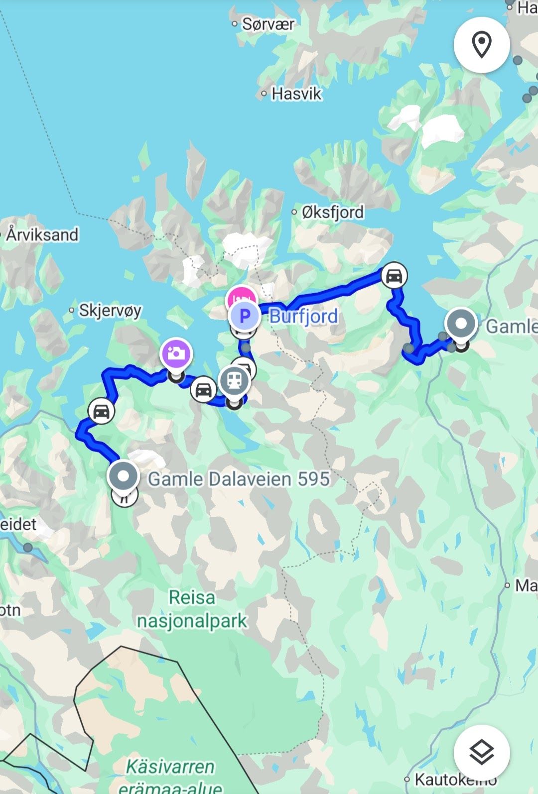
Today we continue our journey to Nordreisa, where we will spend the next night in the same cabin as on the way there. It is a magnificent ride along fjords and mountains, with wonderful autumn weather.
Nordreisa is located on the coast of Northern Norway and borders Finland to the south. In Norway, the municipality borders Kvænangen to the northeast and east, Kautokeino to the southeast, and Kåfjord to the west. Additionally, to the west, there is a border along the Lyngen Fjord leading to the municipality of Lyngen. The border with Skjervøy also runs predominantly in the sea. Only on the island of Uløya is there a shorter section running on land. Coming from the north, the fjord Reisafjorden (North Sámi Ráisavuotna) cuts into the land. In the east, it has the branch Oksfjorden, at the inner end of which is the village of Oksfjordhamn and the lake Oksfjordvatnet. Another branch of the Reisafjord is the fjord Straumfjorden.
At the southern end of the Reisafjord are the villages of Sørkjosen and Storslett. In Storslett, the river Reisaelva flows into the fjord. The Reisaelva is one of the most important salmon rivers in Northern Norway and flows from the southeast from the plateau Finnmarksvidda through the valley Reisadalen towards the village. The valley is surrounded by higher mountains on both sides, some of which reach over 1000 meters above sea level. The elevation Ráisduottarháldi on the southwestern border is the highest point in the municipality of Nordreisa at a height of 1361.38 meters above sea level. Towards the southeast of the municipality's main valley, the sides of the valley become less steep, and there are larger moors at the border with Kautokeino. The municipality also contains the lake Ráisjávri. The upper valley area transitions into the Reisa National Park, which has been protected since 1986 and has a total area of 803 km².
In terms of land area, Nordreisa is among the ten largest municipalities in Norway. The total area of the municipality is 3,437.77 km², with inland waters accounting for a total of 101.66 km².
In the evening, we try fishing again, but with no success today.