Island Runde-South Sweden June 17, 2026
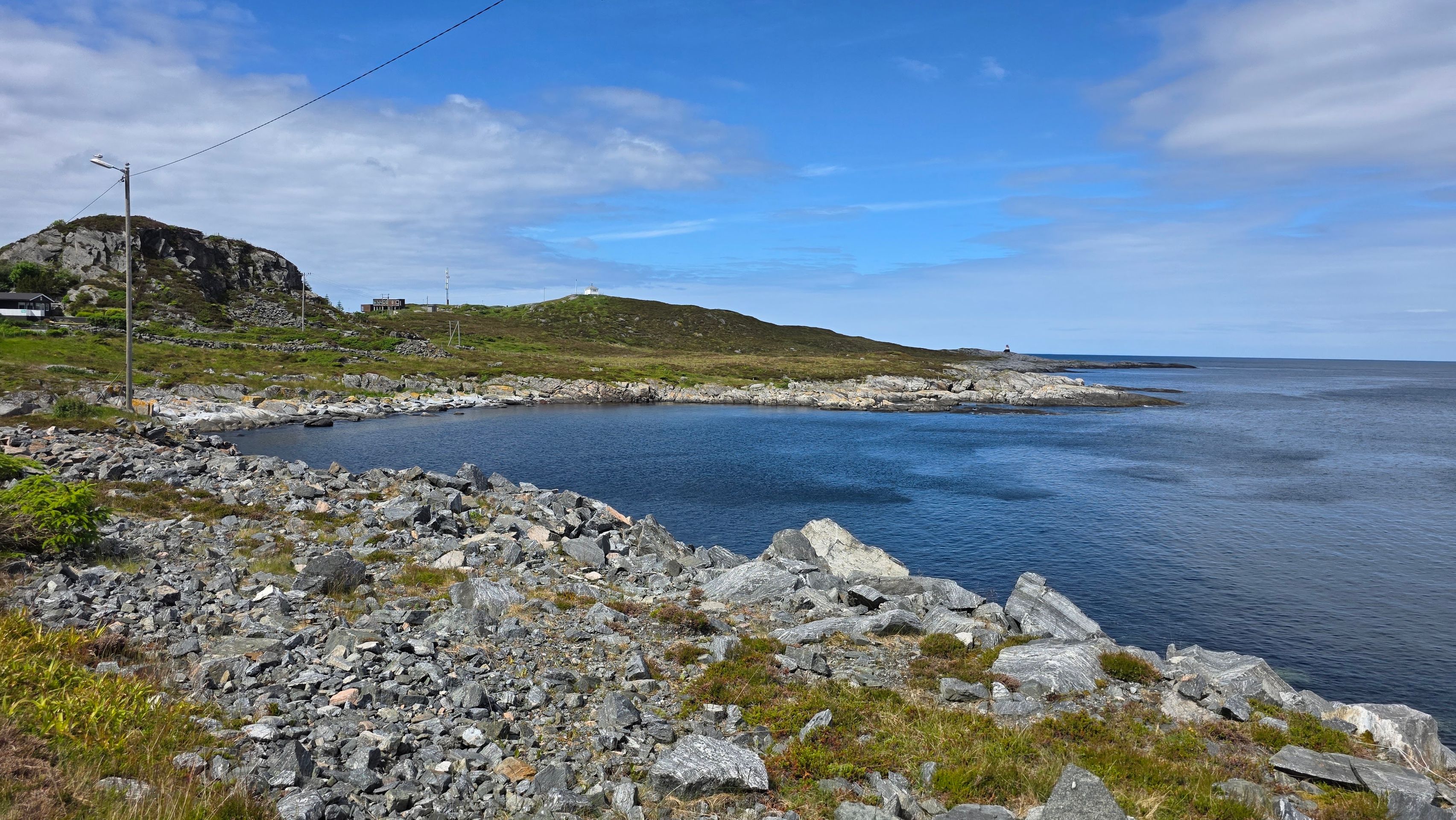
Today's schedule is to go fishing, visit the places Fosnavåg and Remoya on the island of Bergsøya. It's exciting to see what surprises a day like this brings. We observe wagtails,...

Published: 09.08.2026
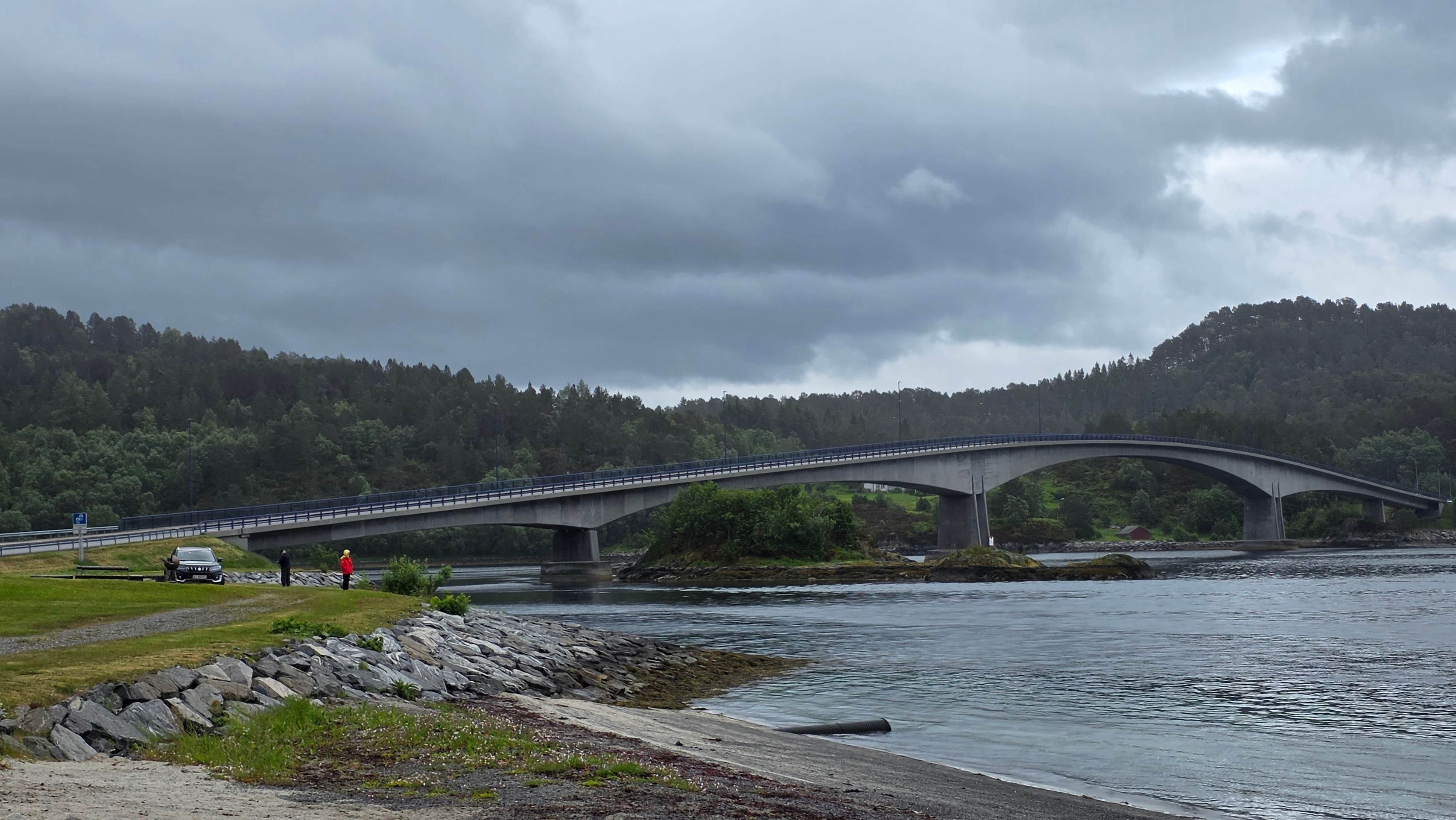
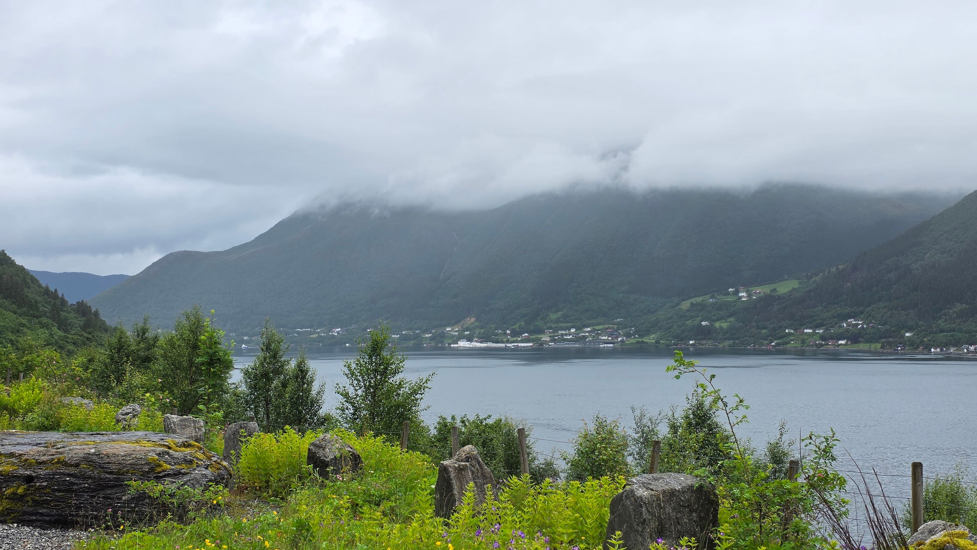
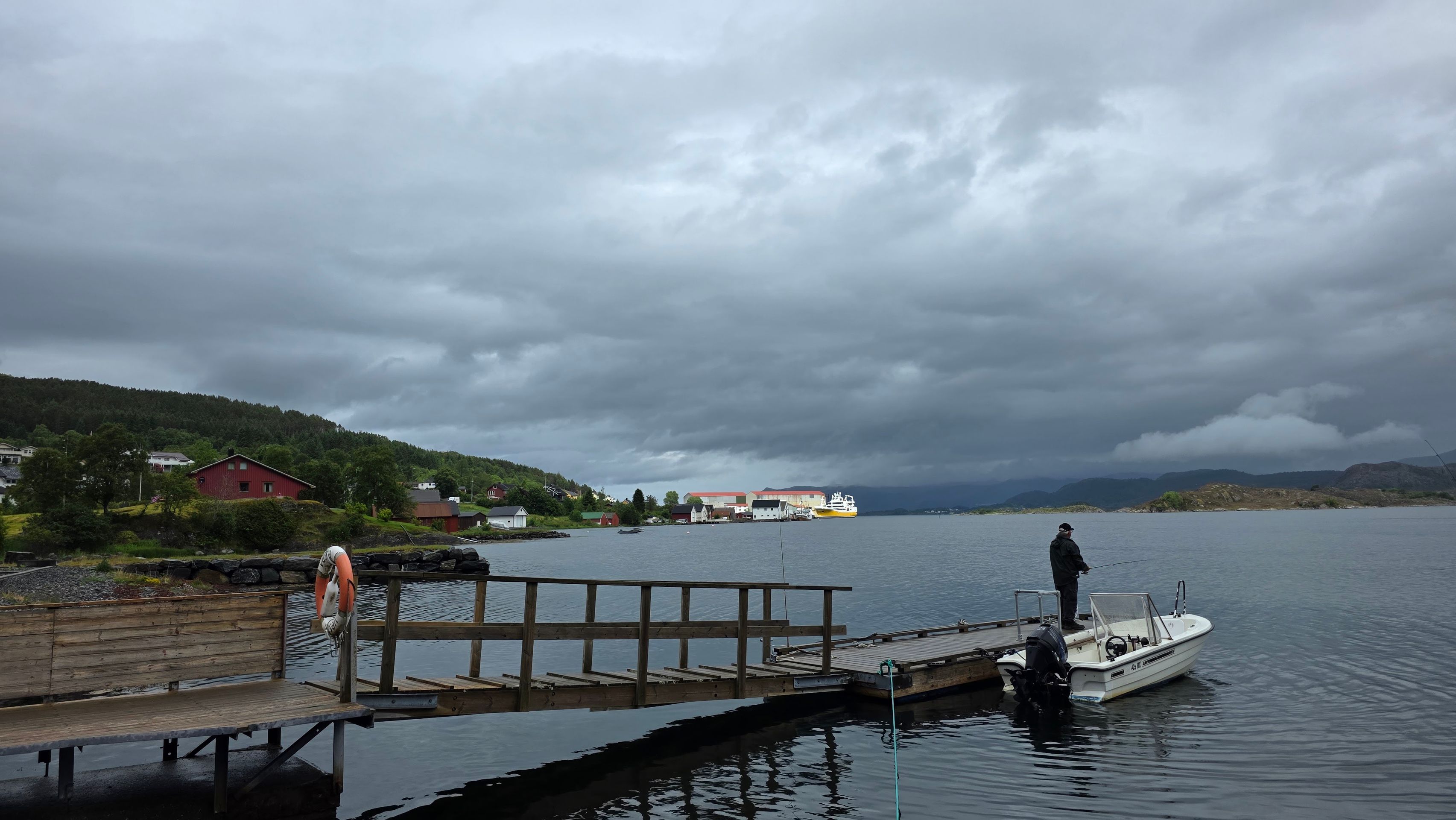
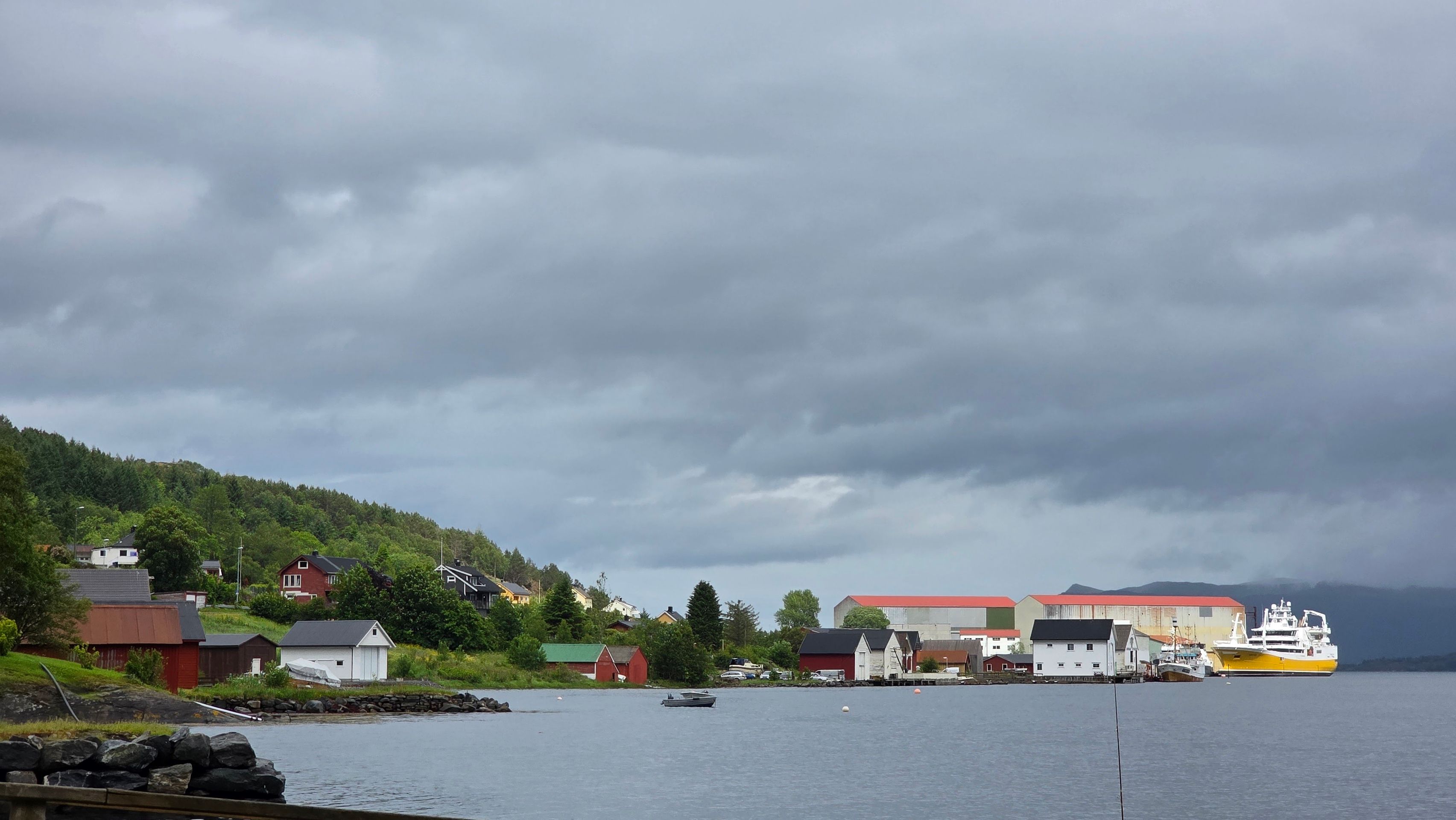
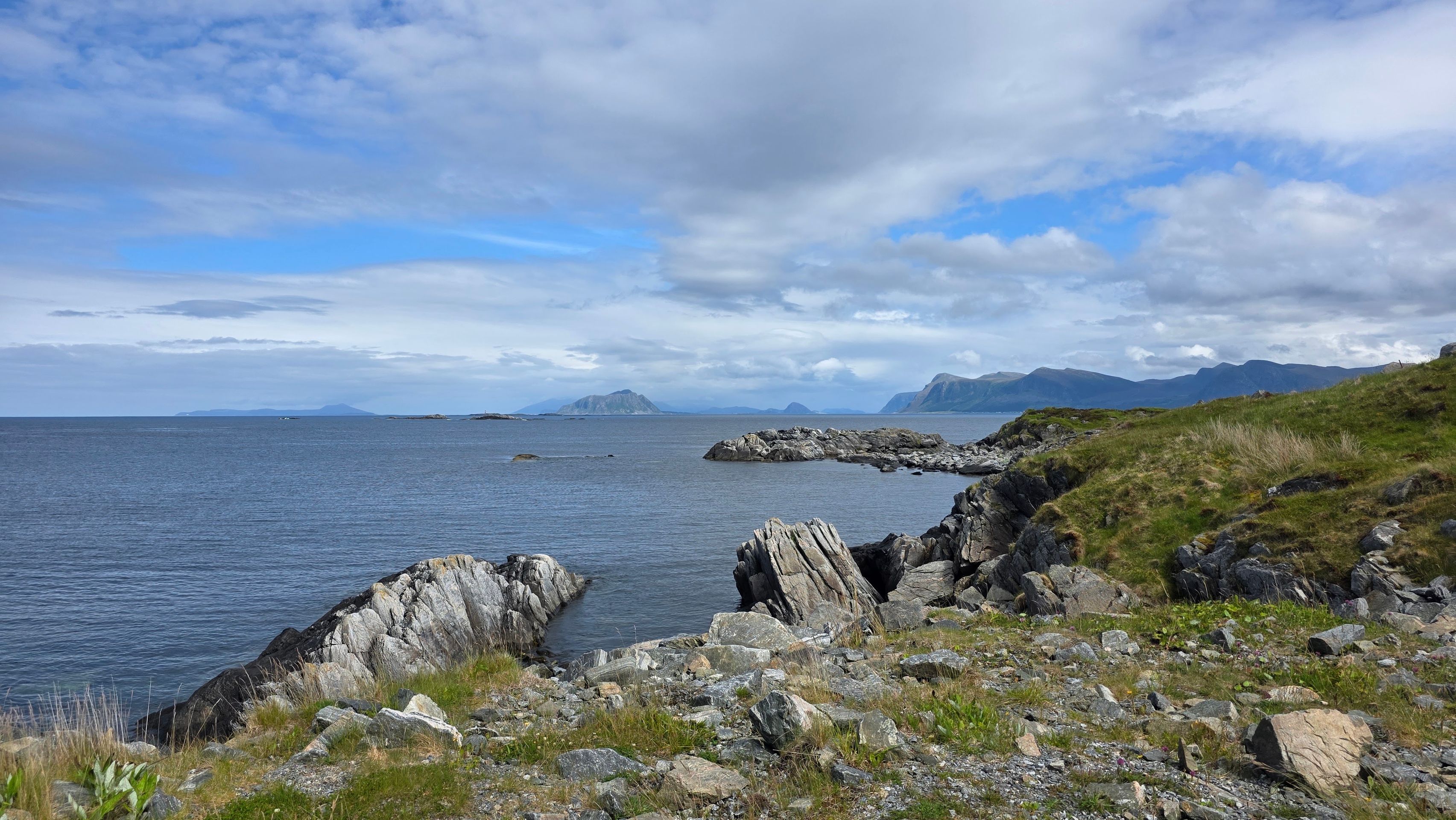
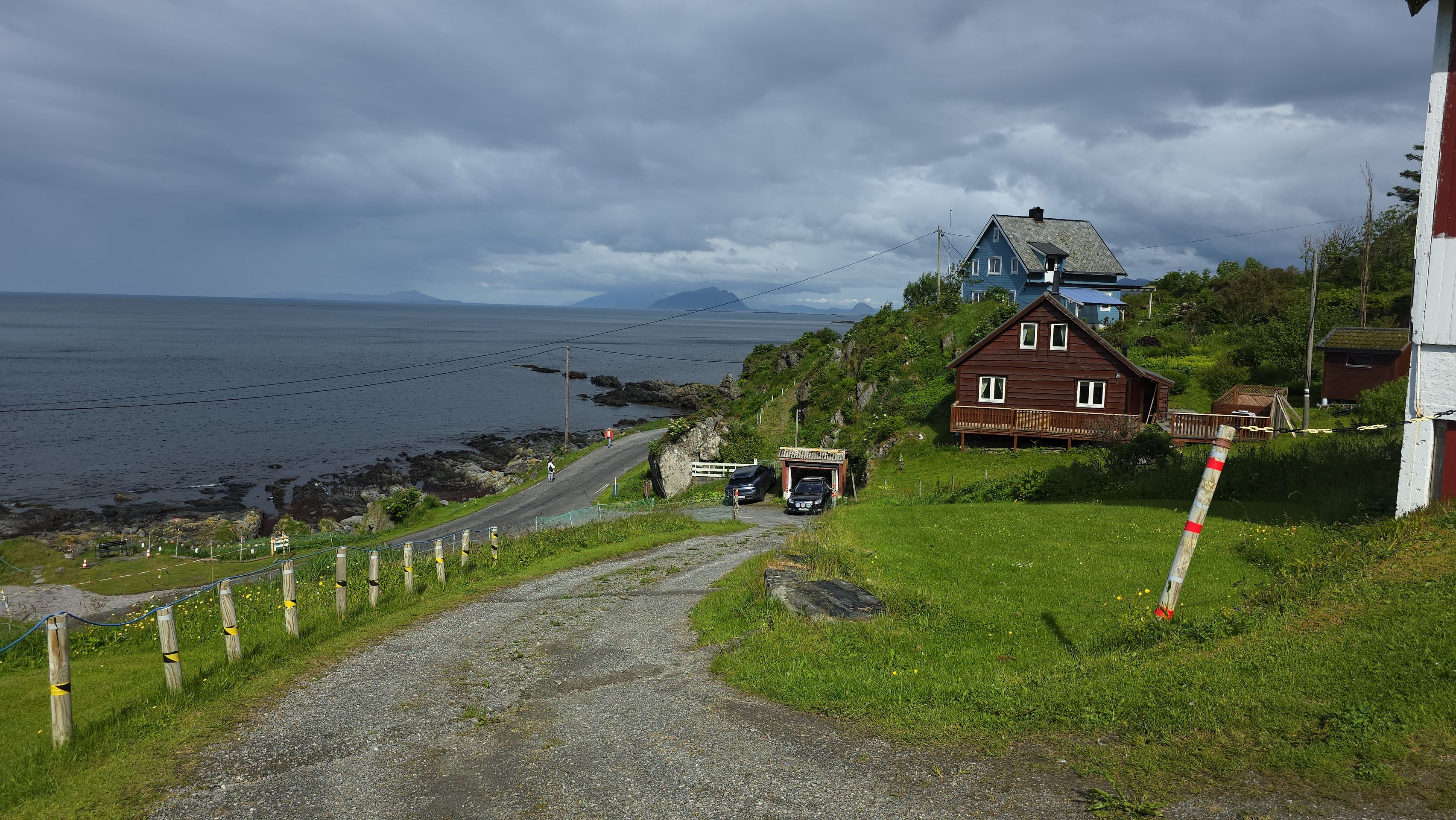
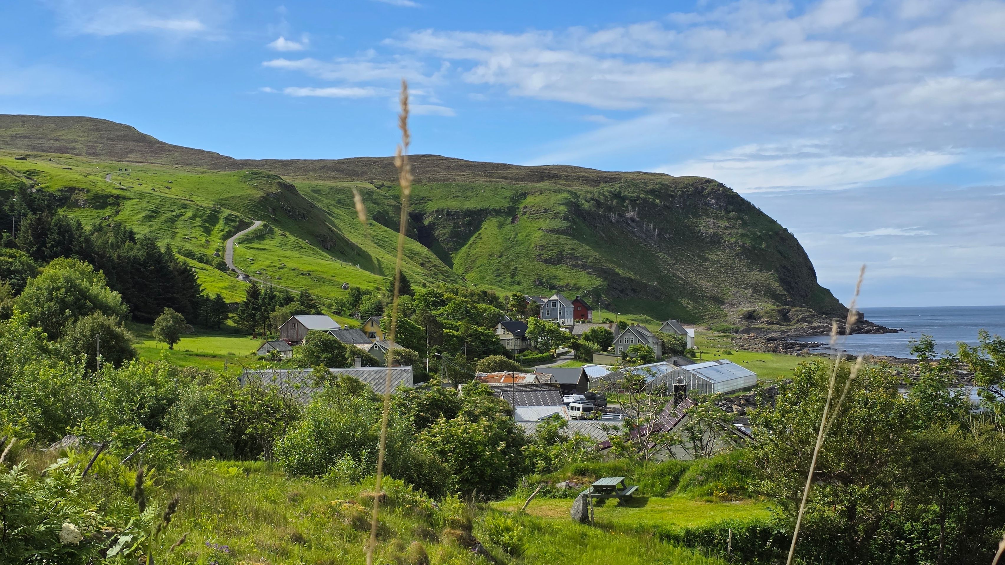
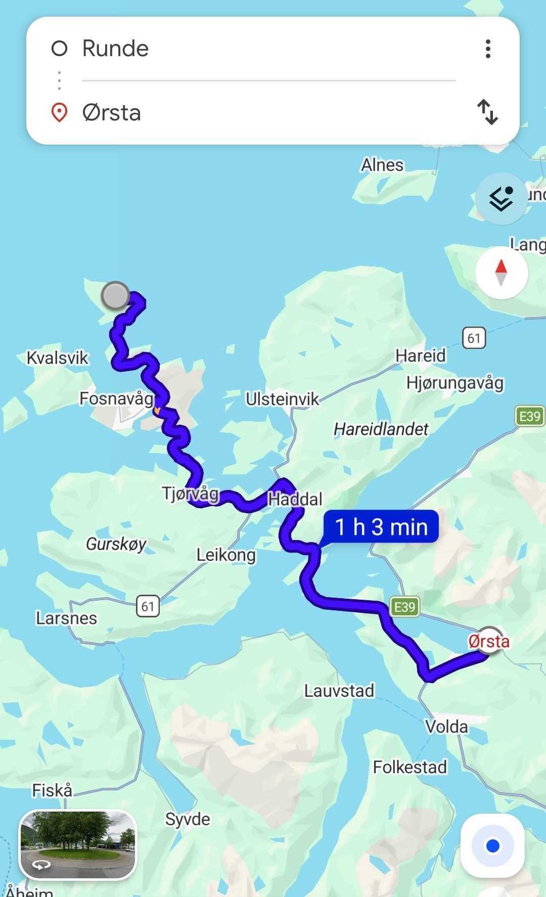
Today we are heading towards Ørsta to see where we can find good fishing spots along the fjords.
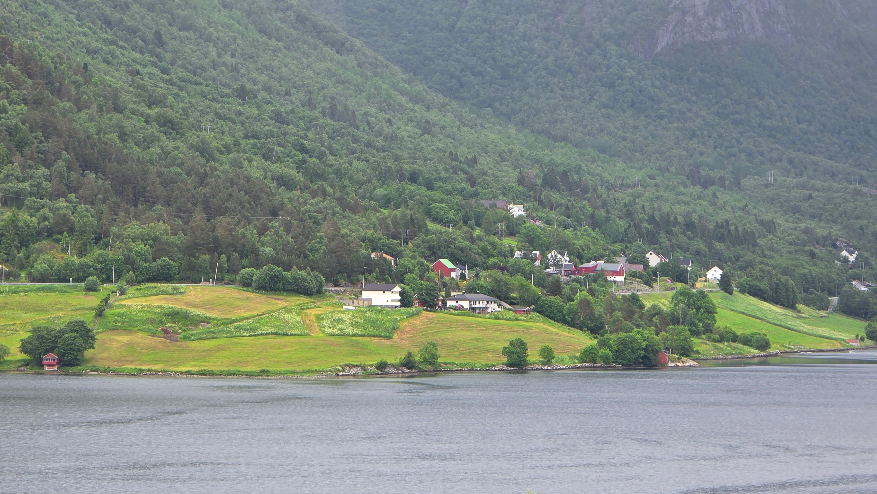
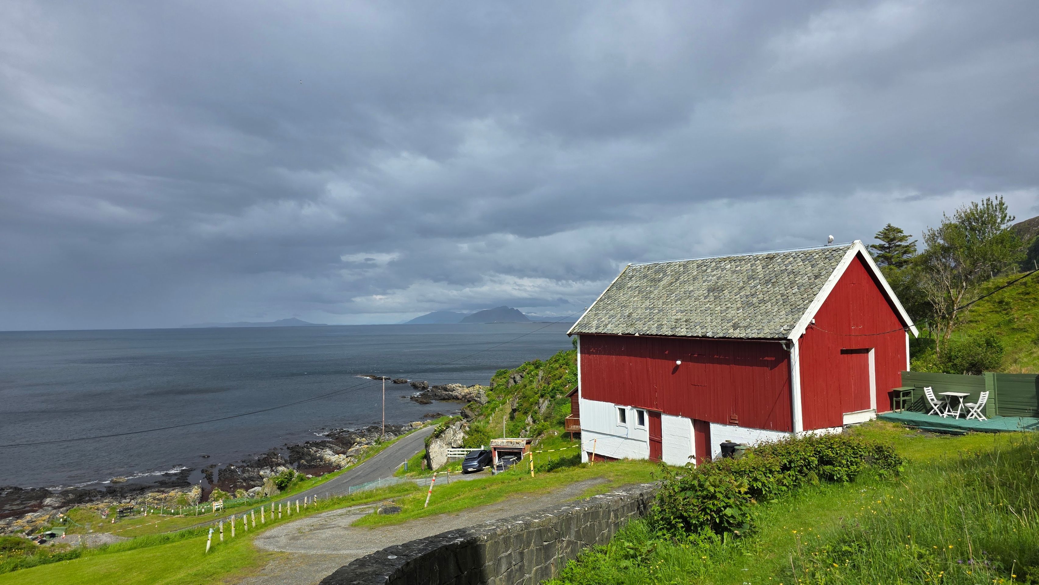
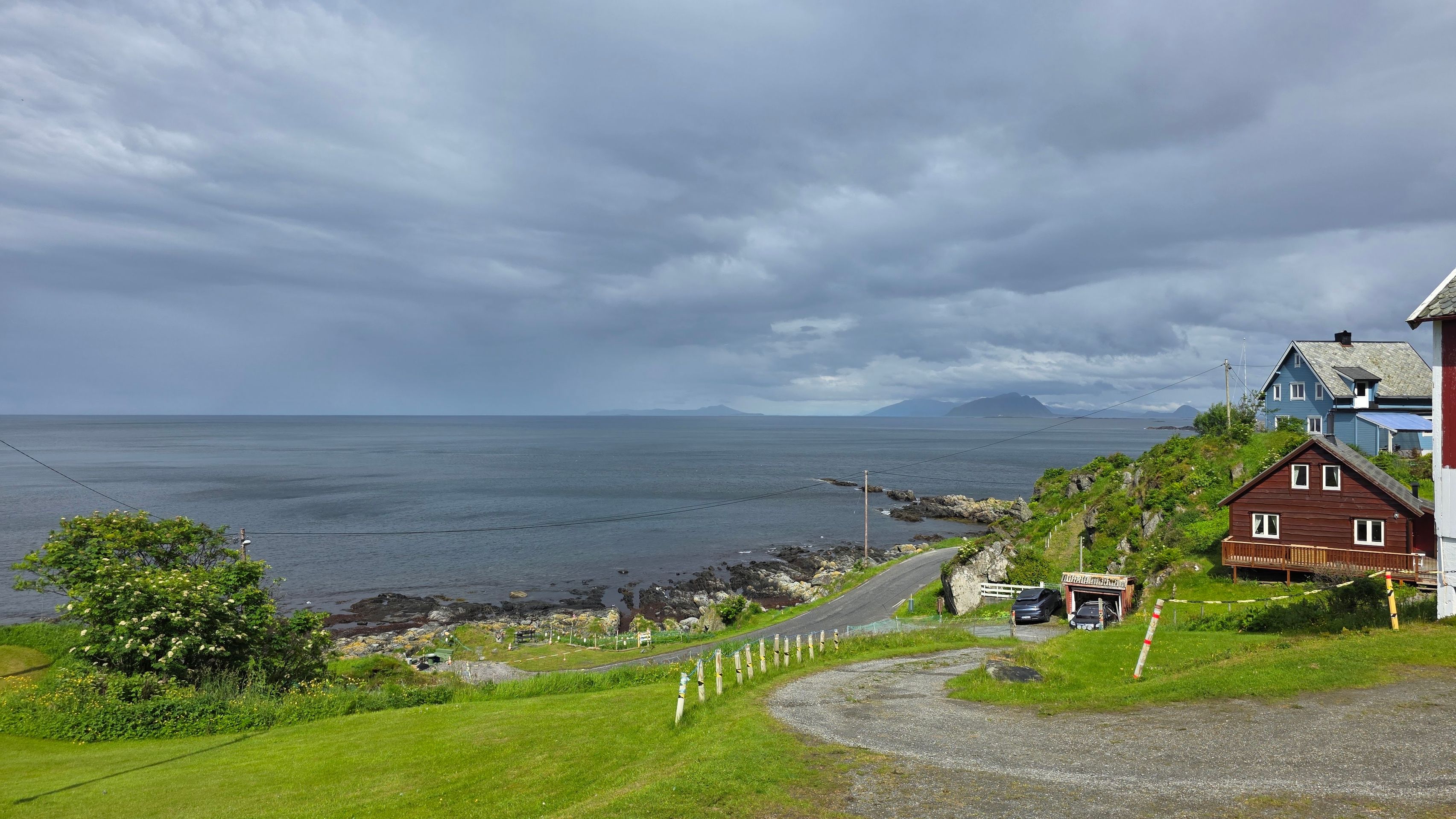
Ørsta is located on the Norwegian west coast in the region of Sunnmøre. Approaching from the northwest, Ørstafjord, a branch of Vartdalsfjord, cuts into the southwestern municipality area. Further east, the Hjørundfjord leads from the north into the land. The municipality borders Sykkylven to the east of Hjørundfjord on the mainland. The northern section of the boundary runs within the fjord. In the southeast, Ørsta borders Stranda, and to the south it borders Volda. Additionally, there are boundaries to the west and north along Vardalsfjord, where the municipalities of Ulstein, Hareid, and Sula border. There is also a boundary at one point to the northeast with the municipality of Ålesund.
The majority of the municipality's area is characterized by high mountains that are part of the Sunnmørsalpene (Sunnmøre Alps). There have been several accidents in the valleys of the municipality due to avalanches. The area typically drops steeply at the coast. The highest mountains are located in the southeastern part of the municipality, to the east of Hjørundfjord. The elevation Smørskredtindane there stands at 1630.5 m above sea level, making it the highest point in the municipality of Ørsta. In the southern part of the municipality, the river Bondalselva flows through the valley of Bondalen. At the village of Ørsta, at the end of Ørstafjord, the Storelva river flows into the sea.