Mountain Overdose in Huaraz
Közzétett: 11.10.2022

Feliratkozás a hírlevélre
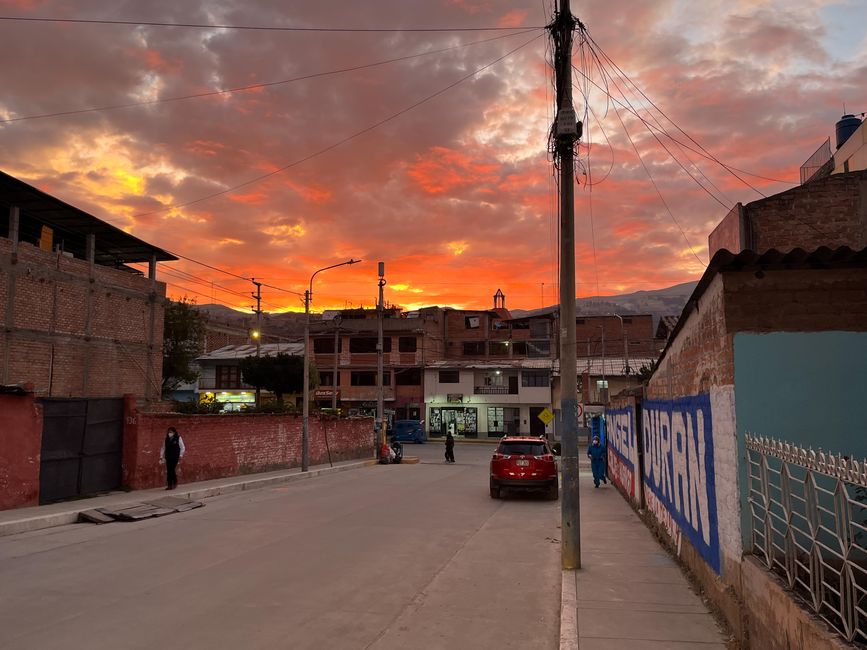
We go directly from sea level to the city of Huaraz, located at an altitude of 3000 meters, and the way there is characterized by spectacular views. Just before we arrive in the city, the sun sets behind the mountains, coloring the sky in the most beautiful tones. What a wonderful welcome!
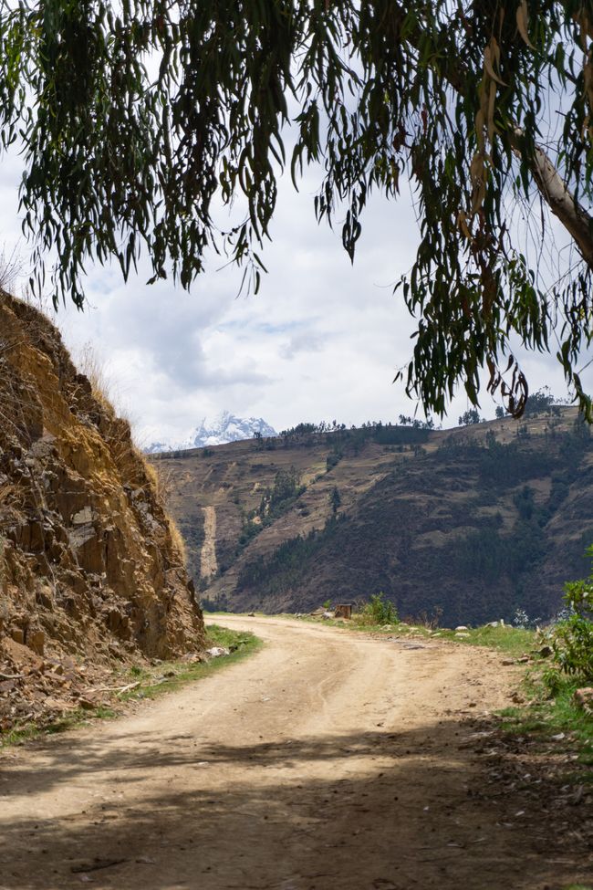
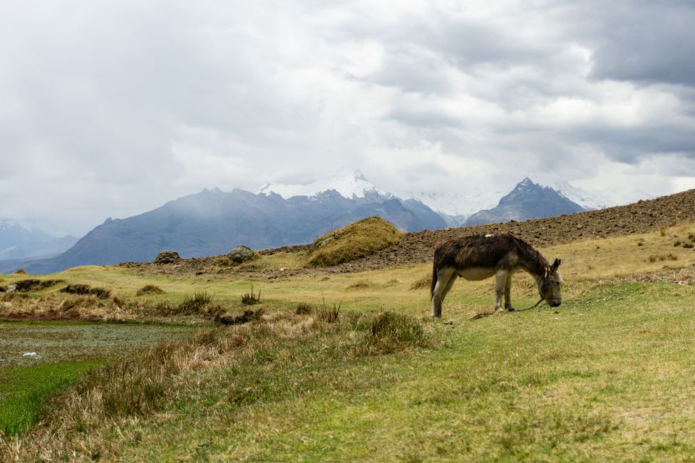
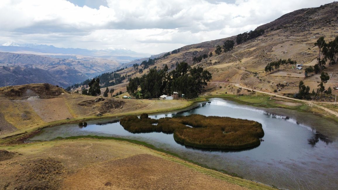
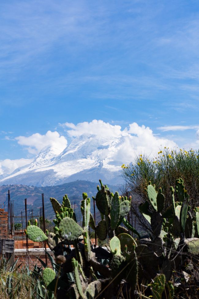
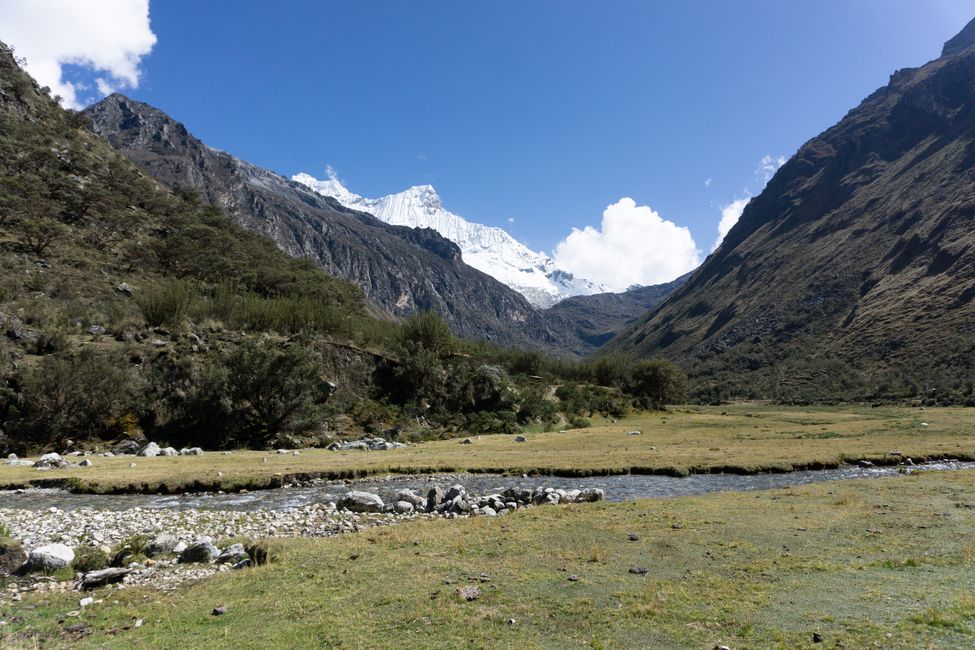
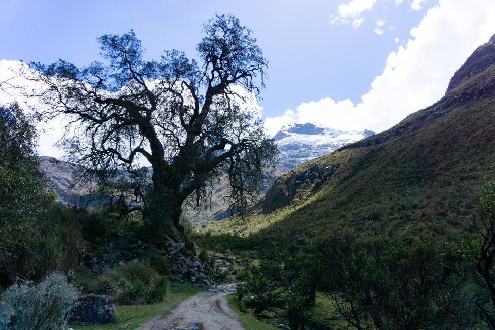
To acclimatize to the altitude, the owners of our small hotel recommend a tour to Laguna Wilcacocha for tomorrow. Done. We take the small collectivo minivan (the public transportation here) to the starting point of the hike, 15 minutes away from Huaraz. We have about 600 meters of altitude to climb to almost 3800 meters and a 9km hike ahead of us. The sun is scorching, the paths are dusty, and there is a smell of eucalyptus, which thrives here. When we arrive at the lagoon, we have a great panorama of the surrounding mountains - and there are many! On one side of the valley, the Cordillera Negra stretches (free of snow and ice) and on the other side, the Cordillera Blanca (hundreds of snow-covered peaks).

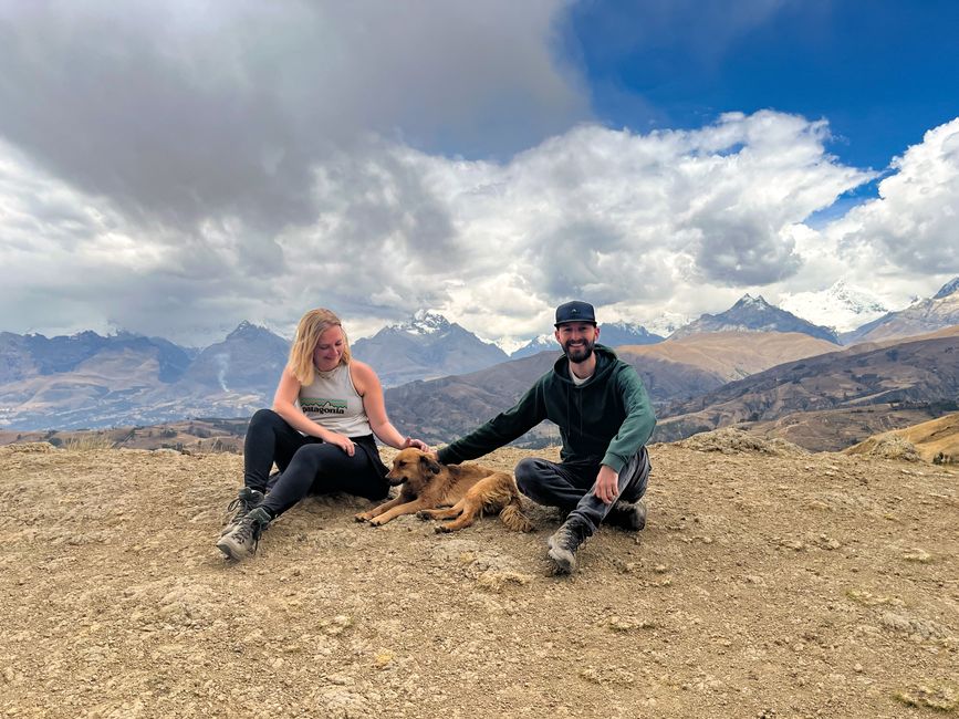
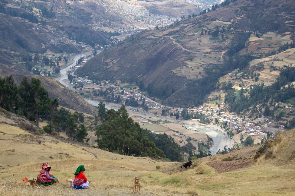
The lagoon itself is rather a small pond, but the ascent was definitely worth it for the view. Apart from us, the farmers, and a few cute dogs, hardly anyone finds their way here. However, a Peruvian woman takes hundreds of photos of us and with us, and doesn't let us get rid of her on the way back either. She shows us another descent, which is much more difficult, and explains some things about the local flora and fauna. Despite increasing wind, we are just lucky enough to avoid the rain and jump back into the minibus to Huaraz.
There we meet Lucas again for dinner, and Tanja and Robert from Germany, whom we met on the drive to Huaraz, join us.
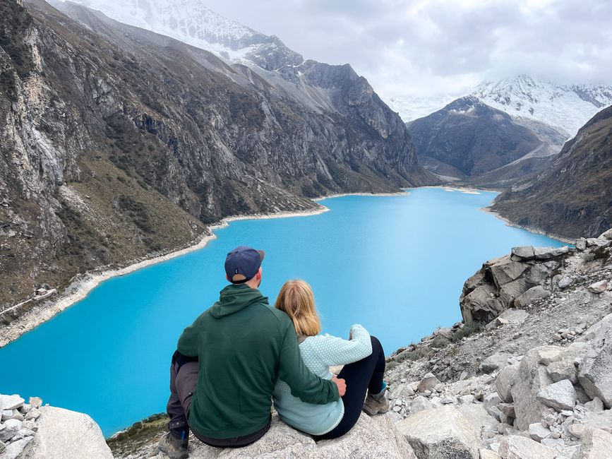
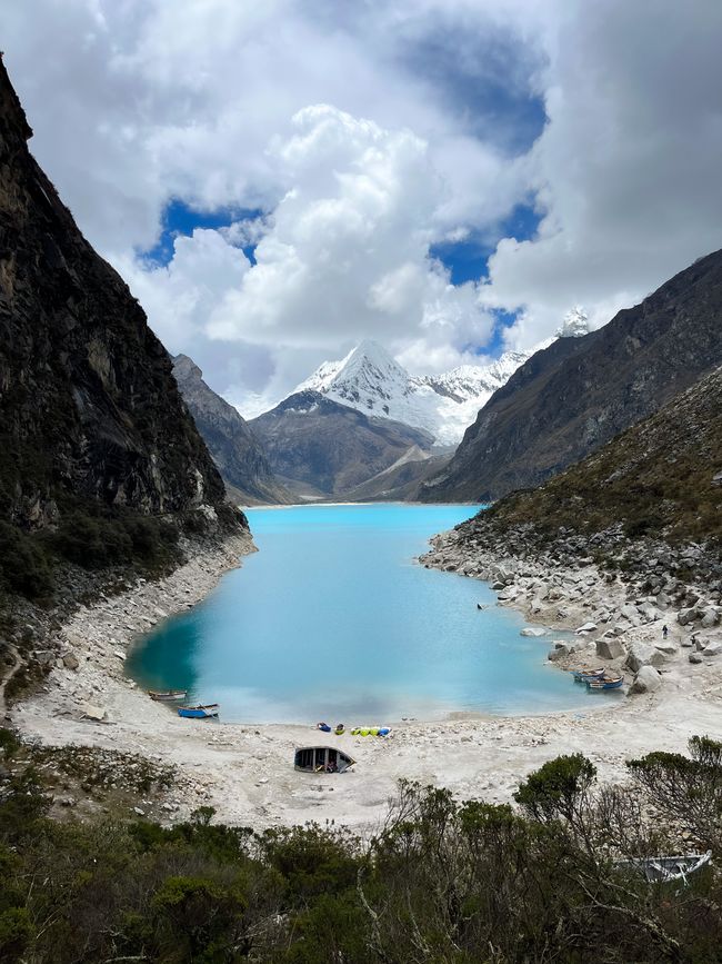
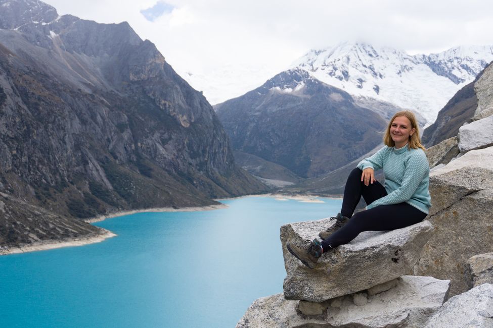
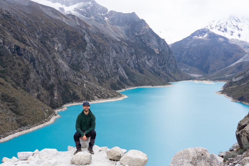
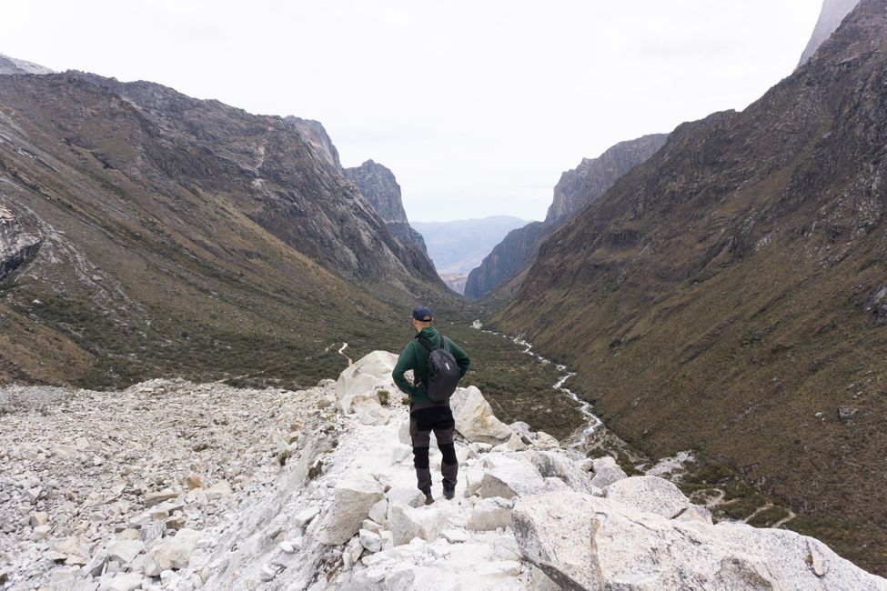
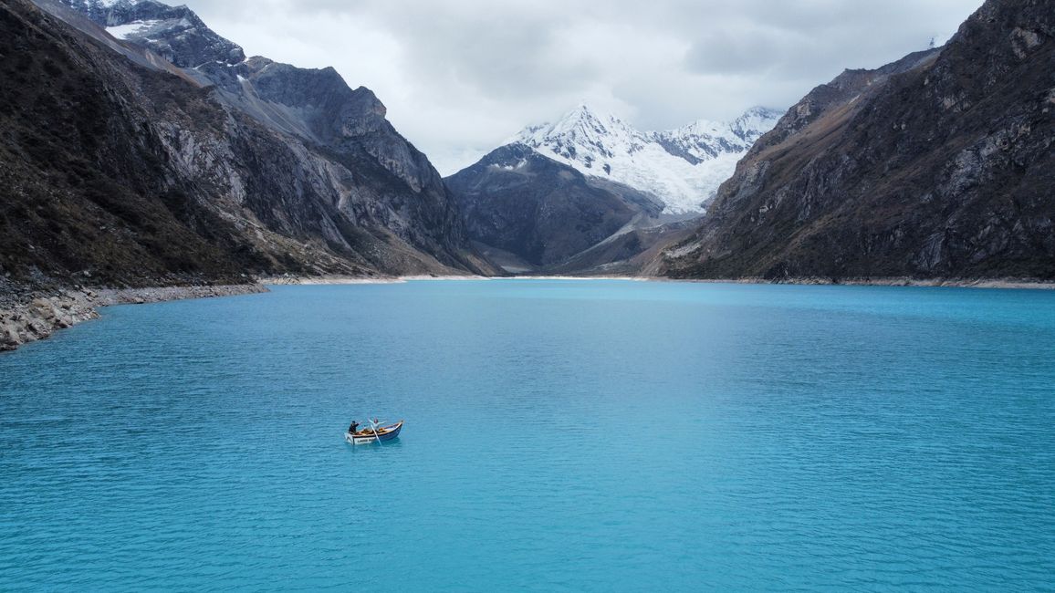
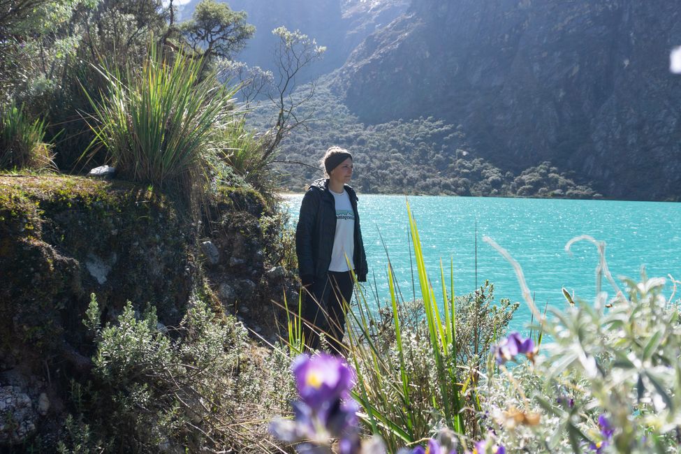
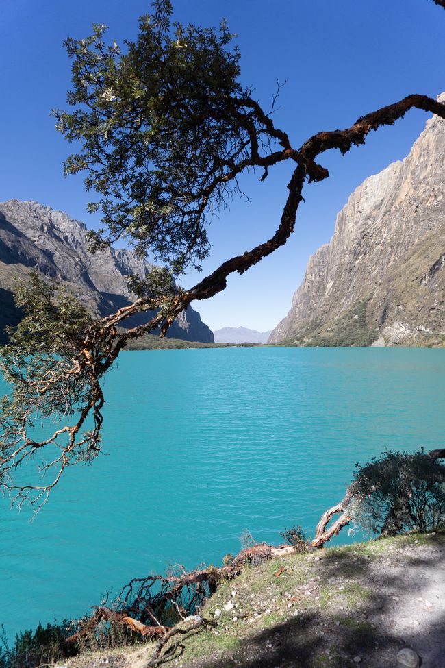
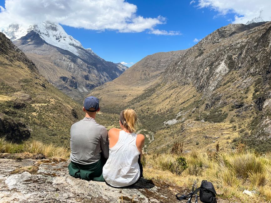
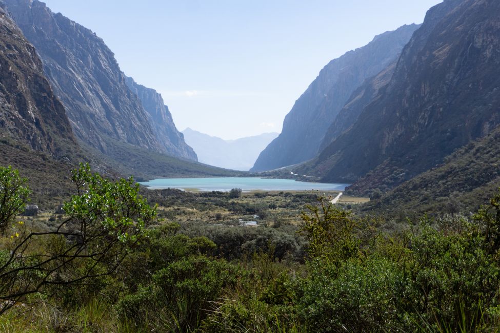
On October 5th, 2022, we have an organized tour to Laguna Parón. We want to acclimatize step by step, and the largest lake in the Cordillera Blanca is perfect for that. The lagoon is located at 4200 meters, and within three hours, you can get there by bus (also suitable for lazy hikers). We are already coping well with the altitude and ascend to 4400 meters in about 25 minutes. From there, we enjoy the fantastic view of turquoise blue water, beautiful snow-covered mountains, and the steep valley we came from.

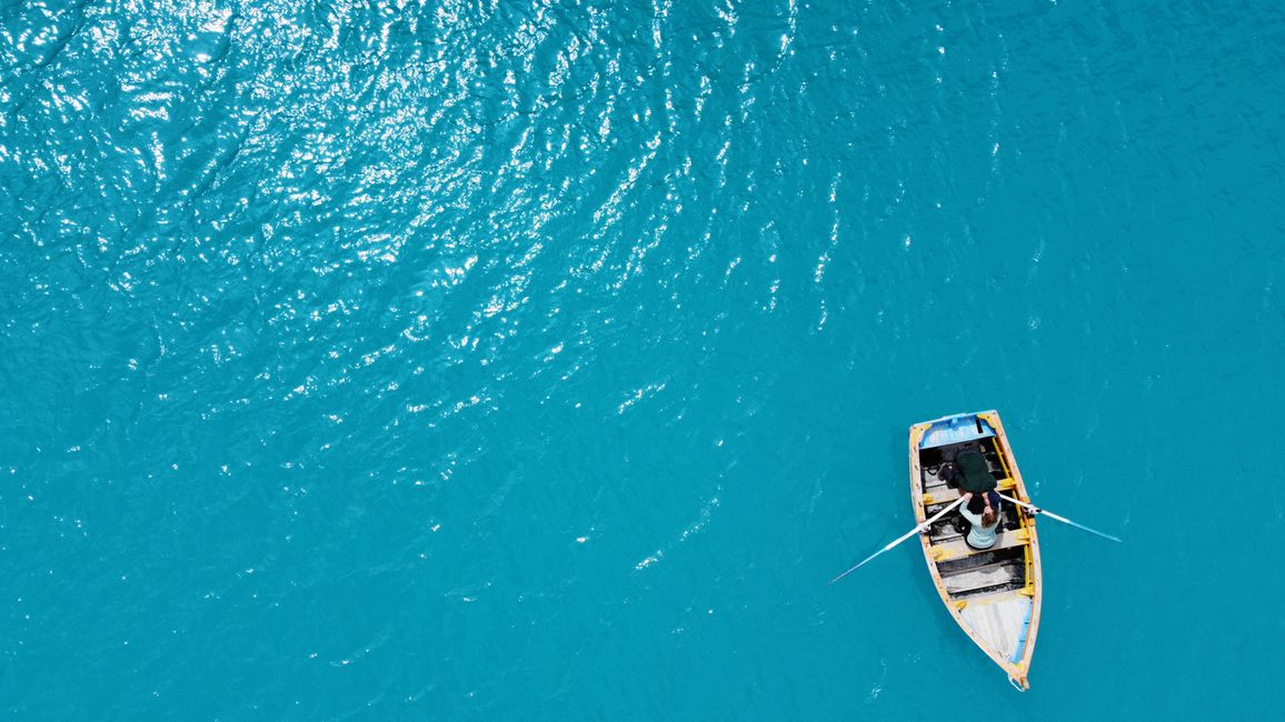
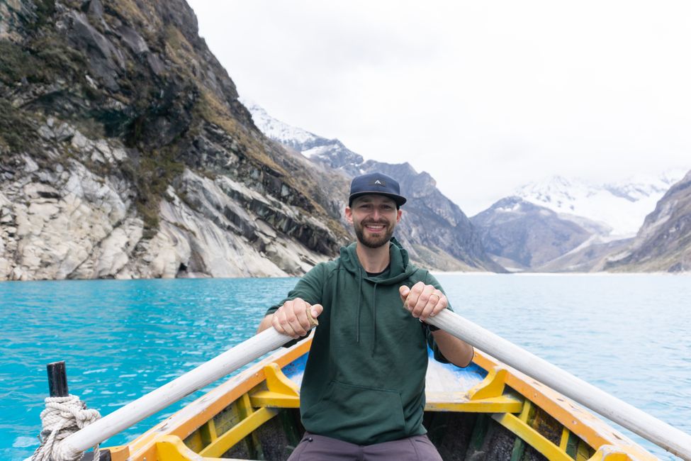
At the shore of the lagoon, you can rent a rowing boat for about €5 and paddle out onto the lake - something we don't want to miss! However, things don't go as planned with the wind... It is extremely difficult to land the drone back in the boat (2 propellers have to suffer) and paddle back against the wind. With a slight delay, we reach the bus and finally drive back.

Now we consider ourselves well prepared for the next highlight: hiking to Laguna 69. Early in the morning at 5 o'clock, we are picked up from our new hostel, where we changed the day before. Tanja and Robert are also joining us. On the lengthy way of three hours, we stop in the middle of nowhere for breakfast and then again at Laguna Llanganuco. Everyone gets off the bus to take a photo by the lake that looks as if someone dissolved ice candies in it.

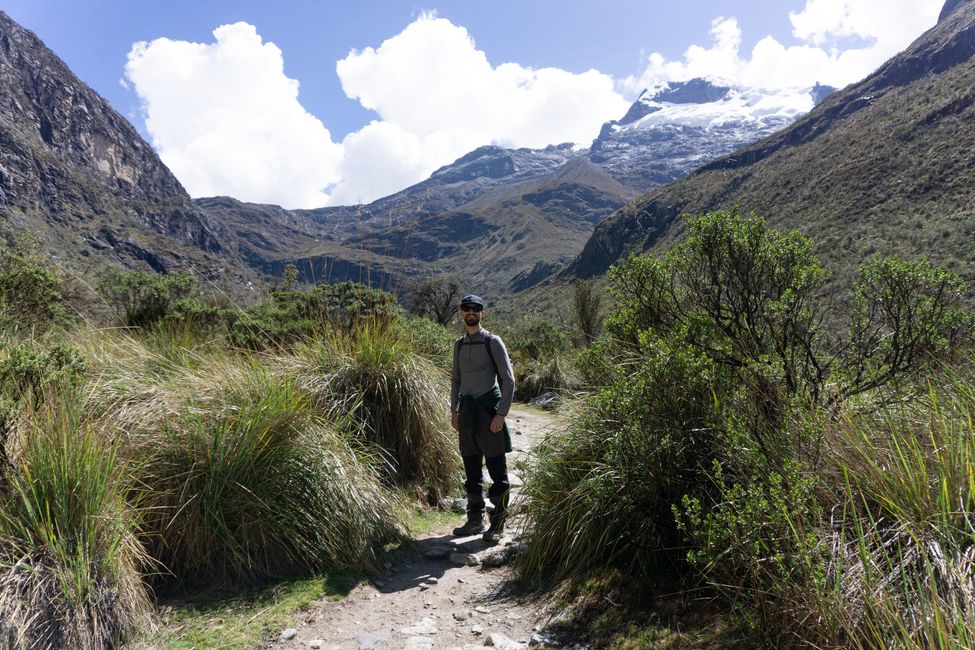
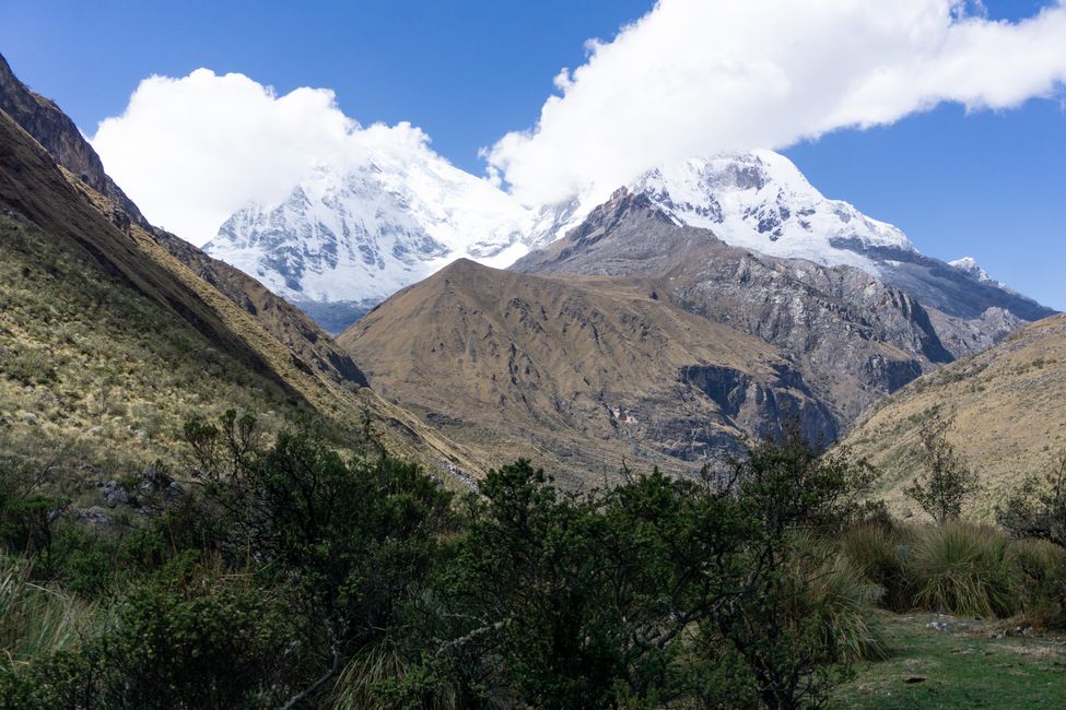
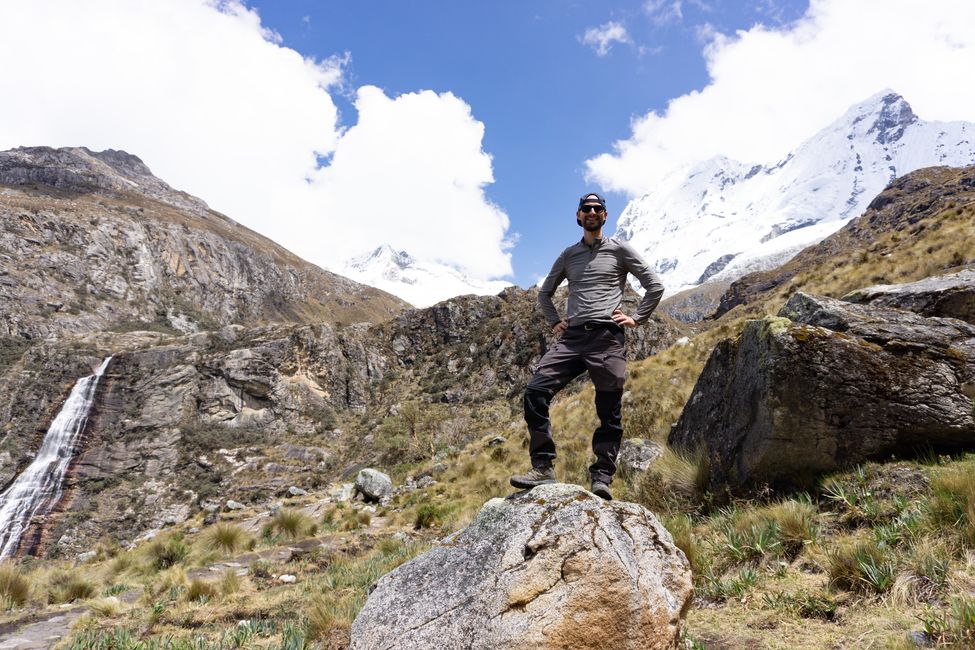
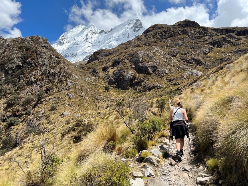
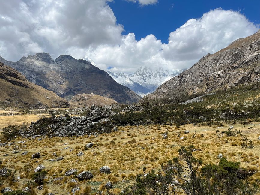
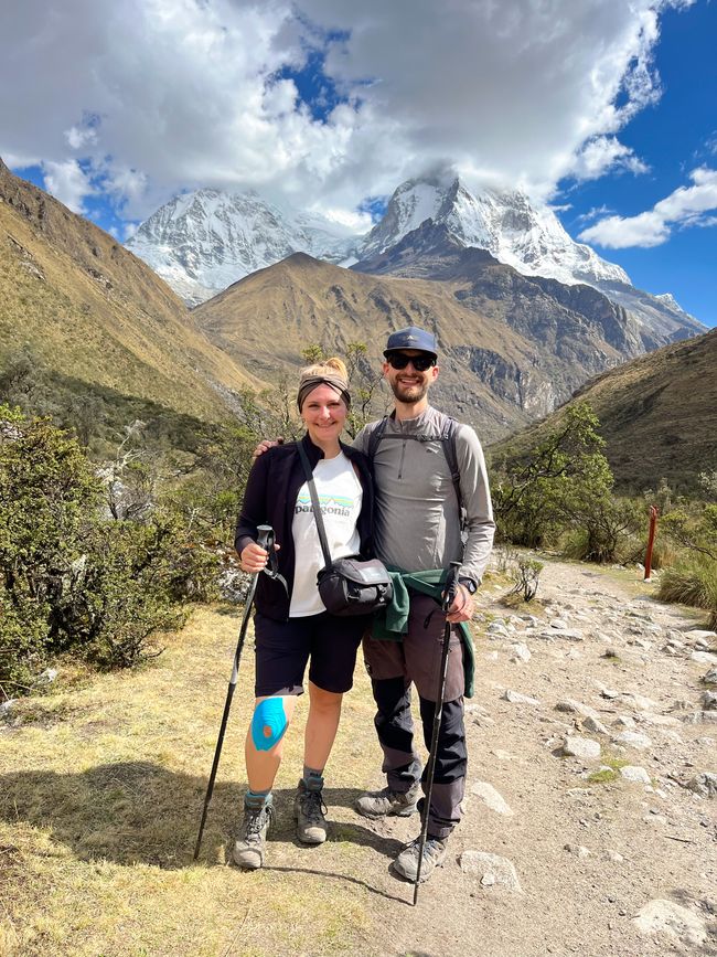
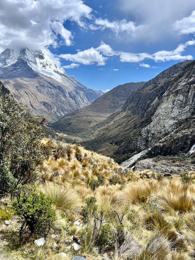
Then we continue on narrow roads to the starting point of the hike to Laguna 69. The 14km hike is one of the most beautiful we have ever done! First, we walk through an idyllic valley along a crystal-clear river, with Peru's highest mountain, Huascarán, on our right side, towering at 6768m, and high waterfalls on our left side, which flow into the river. It is sunny, we are in a good mood, the path is dry, and the conditions are perfect. Curve after curve, with a few other people, we make our way up the mountain and enjoy every second in this beautiful setting.

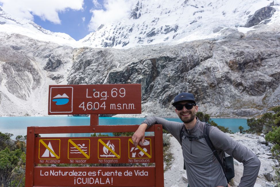
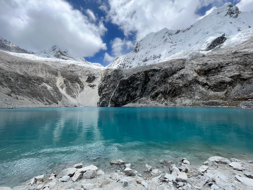
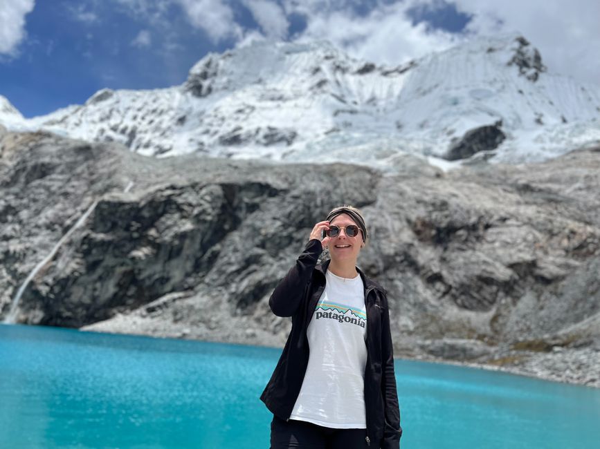
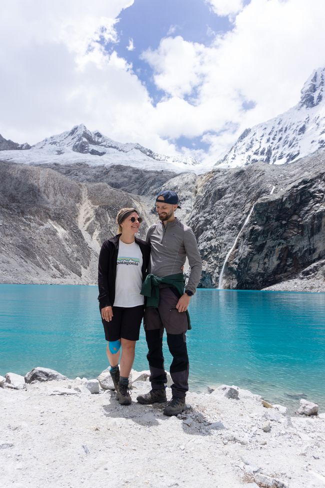
With Laguna 69 at 4600m, another incredibly blue lagoon awaits us amidst high mountains and lots of gray scree. Great contrasts that we want to capture with the drone - but unfortunately, the gray drone doesn't stand out from the surroundings, we lose sight of it, and the inevitable happens... it crashes somewhere into a huge gray scree mound. The rescue mission initiated by Carsten has to be aborted due to the risk of falling, and our dear little drone will now remain in the drone heaven of the Cordillera Blanca forever. We will miss you! Frustrated, we head back, slightly overshadowing an otherwise perfect day.

Now we take a break from hiking for a day. We use the day to make phone calls home, have an interview with a Spanish language school, enjoy a delicious lunch, and think about tomorrow's hike.
After much back and forth, we decide to venture onto Nevado Mateo. To have the best chances of good weather, we are picked up at 3 o'clock in the morning to start the hike at sunrise. However, we are too excited to sleep, so we start the hike very unrested. Not the best conditions to climb our first 5000-meter peak.
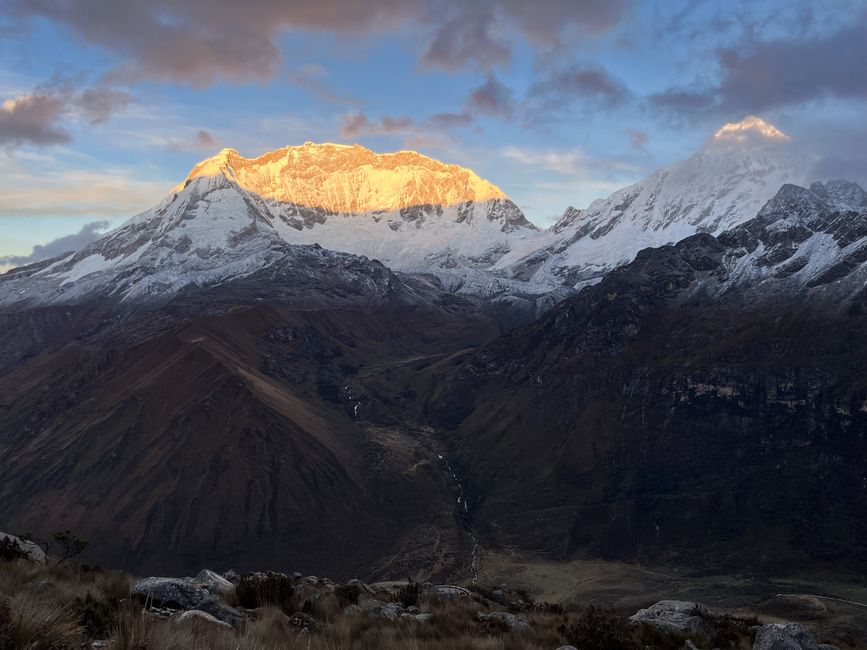
On the drive, the white mountains are bathed in the most beautiful first rays of sunshine, but when we arrive, everything is shrouded in dense fog. We are at the second-highest tunnel in the world, the Túnel Punta Olímpica.

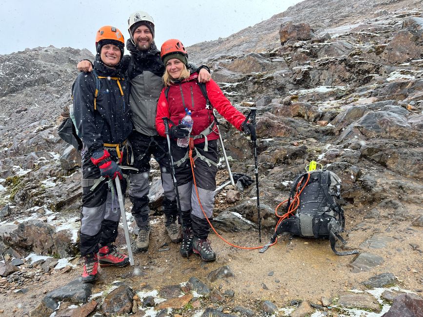
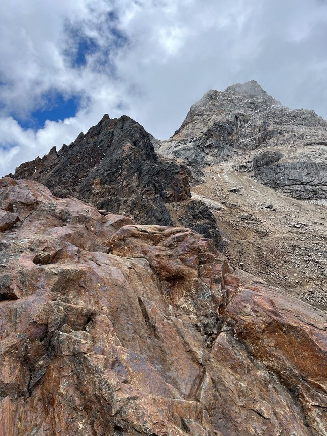
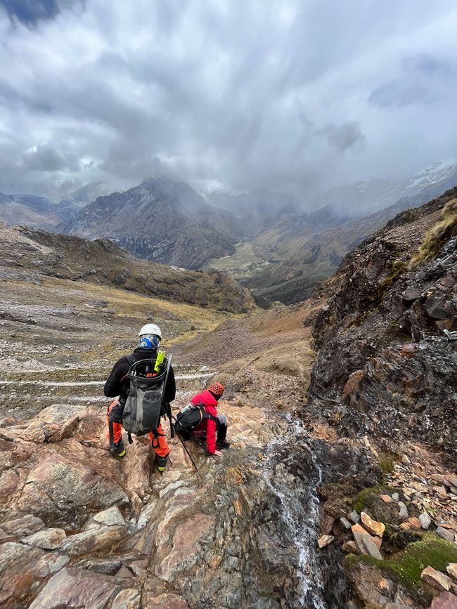
Without breakfast and at this altitude (starting point: 4700m), Tina's circulation collapses, but determination is stronger, and now we are already here, so we push through. First of all, we are equipped with the equipment that was adjusted to us yesterday: waterproof heavy hiking boots, waterproof pants, helmets, ice axes, crampons, and climbing harnesses. Fortunately, our group of three, together with Robert, teams up with an English-speaking and experienced guide. However, from the beginning, he has his hands full with us, as we directly tackle steep and rocky paths, half climbing, to the edge of the glacier at 5000m. It starts snowing shortly after a short time; so much for good weather if you get up early enough...

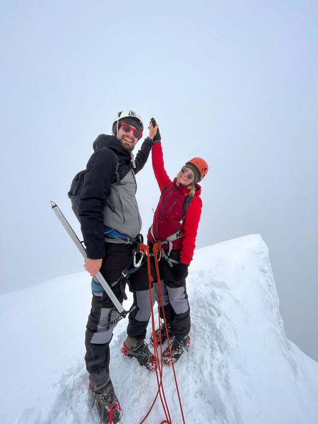
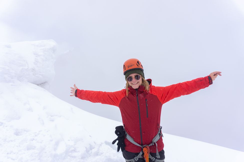
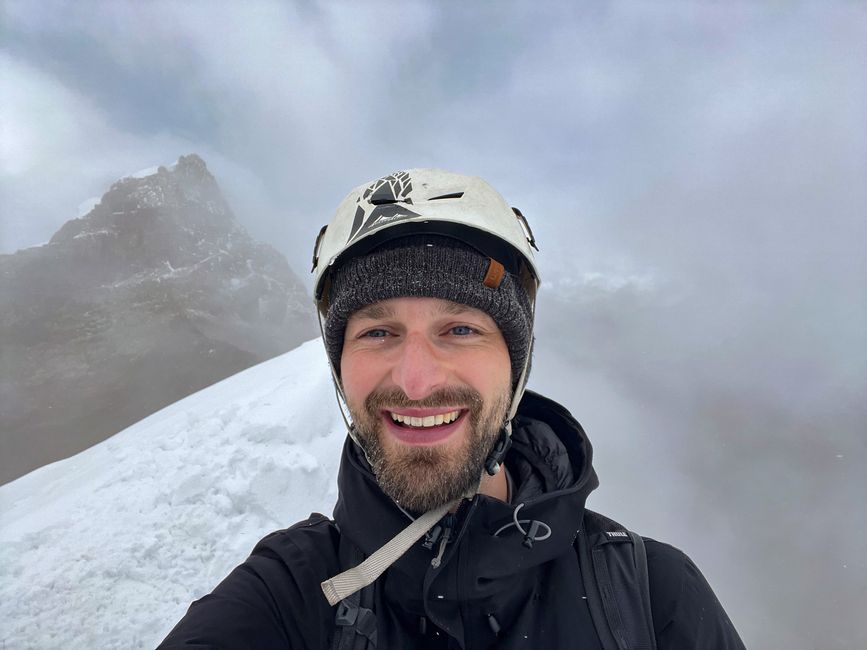
When we reach the foot of the glacier, we put on the crampons and secure ourselves with a rope in a row behind the guide. Actually, it's not far anymore, but the snowy glacier is slippery, and the steep sections are dangerous. When Tina can't find any grip in the fresh snow with her feet or ice ax, she panics. After some attempts to calm down and overcoming her fears, she still manages to get over the steep section, and we are only a few meters away from the summit. Upon reaching the top, the relief is great, even though we unfortunately can't see anything - we made it, and that's all that matters right now!

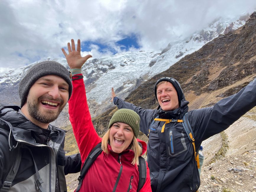
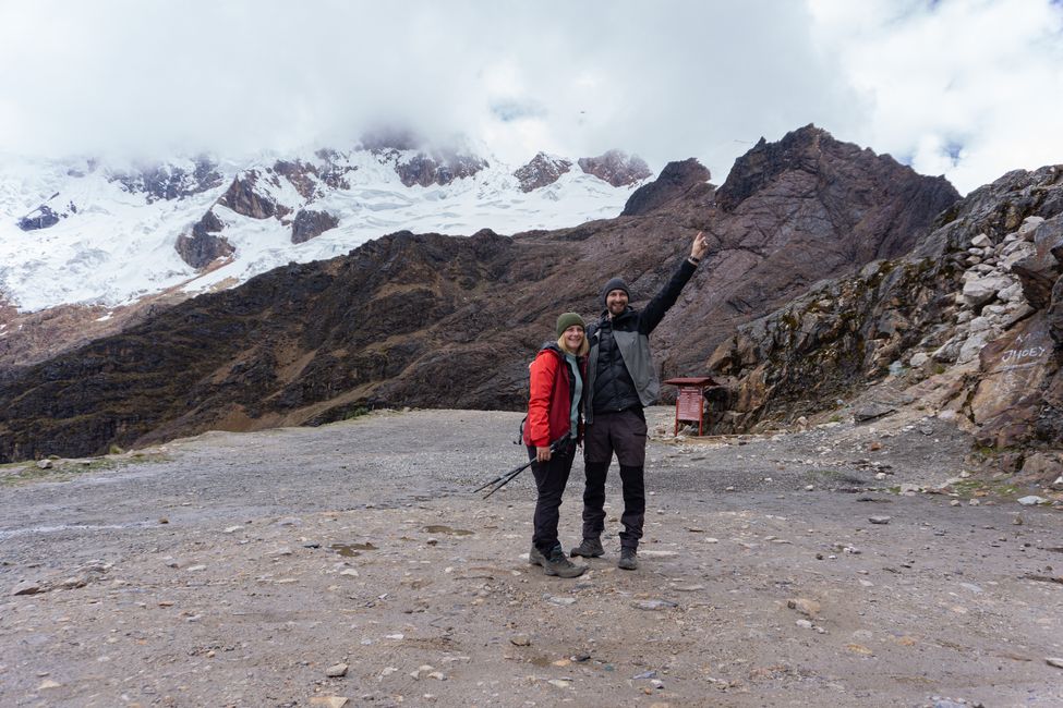
On the descent, we slide down the snow more or less controlled step by step until we reach the difficult part again. With additional anchors and carabiners in the ice, we lower ourselves meter by meter along the side of the glacier. But Tina loses her grip again and ends up hanging on her ice axe with just one arm... This situation takes away her last strength. On the other side, Robert loses one of his crampons and slides further down the mountain. Carsten somehow keeps calm in the middle, and with the help of the guide, we are all guided safely to the end of the glacier. With almost no reserves of strength, we drag ourselves down the path at a snail's pace. At least the weather clears up a bit, giving us a view of the valley and the destination; the minibuses. We arrive there completely exhausted as the last ones. For a victory photo, we put on a smile again before falling asleep on the way back...

Our verdict: Never again Nevado Mateo (at least not in bad weather), but we are incredibly proud to have made it to 5150m!!! We treat ourselves to a delicious ramen soup in the evening and blissfully fall into bed.
But now it's enough with this overdose of mountains... It's time to say goodbye to the highest tropical mountain range in the world, which has impressed us without exception. Please copy ;)
Feliratkozás a hírlevélre
Válasz
Peru utazási jelentések
