
The flight route to Taiwan
The plan is this: On May 2 (2026) from Vienna (VIE) via Beijing (PEK) - see cover photo - continuing to Taipei (TPE) and returning on the same route on May 16/17. On the globe at...


Published: 04.05.2026
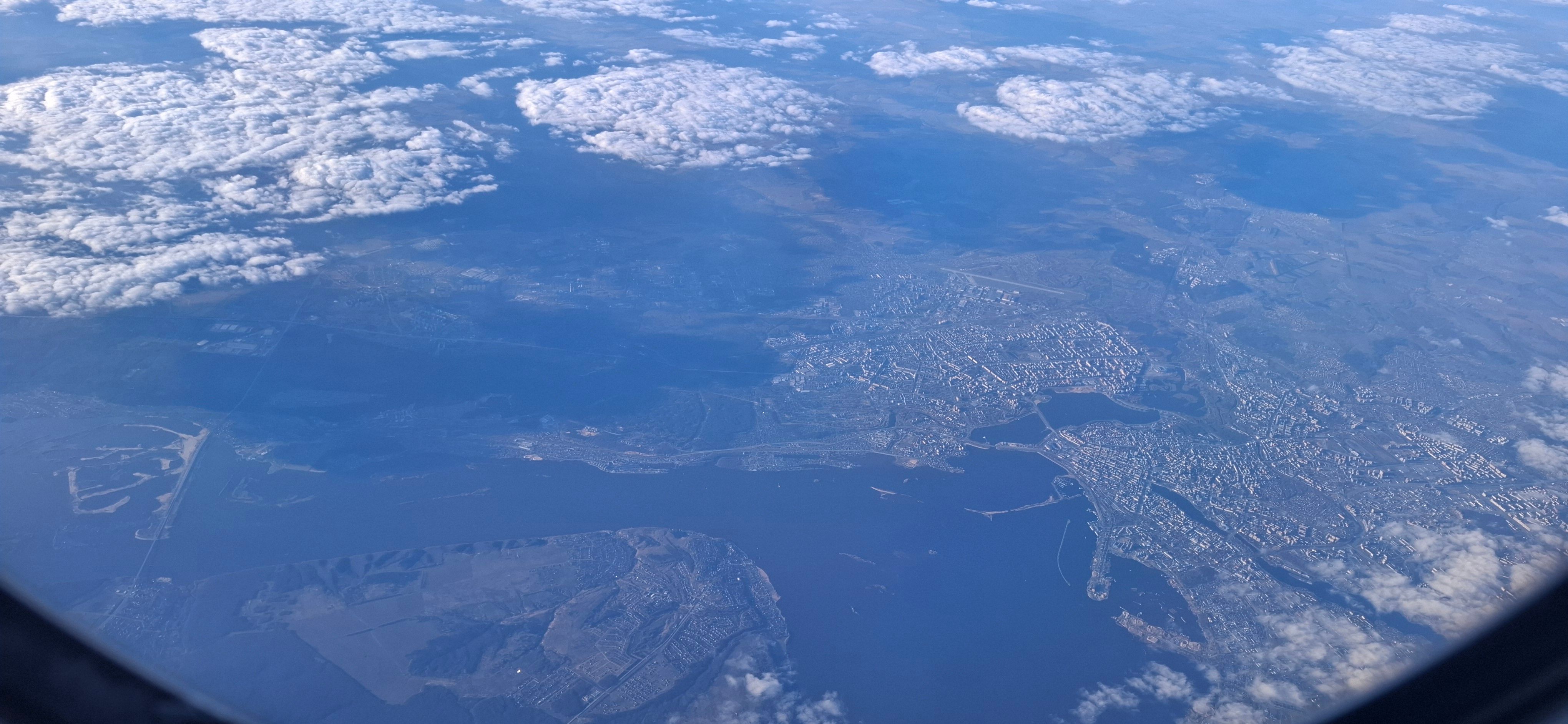
The surprise of the flight from Vienna to Beijing was the beautiful view of Kazan' and the Volga River, where the cloud cover broke open. The photo for this is at the top of the image series.
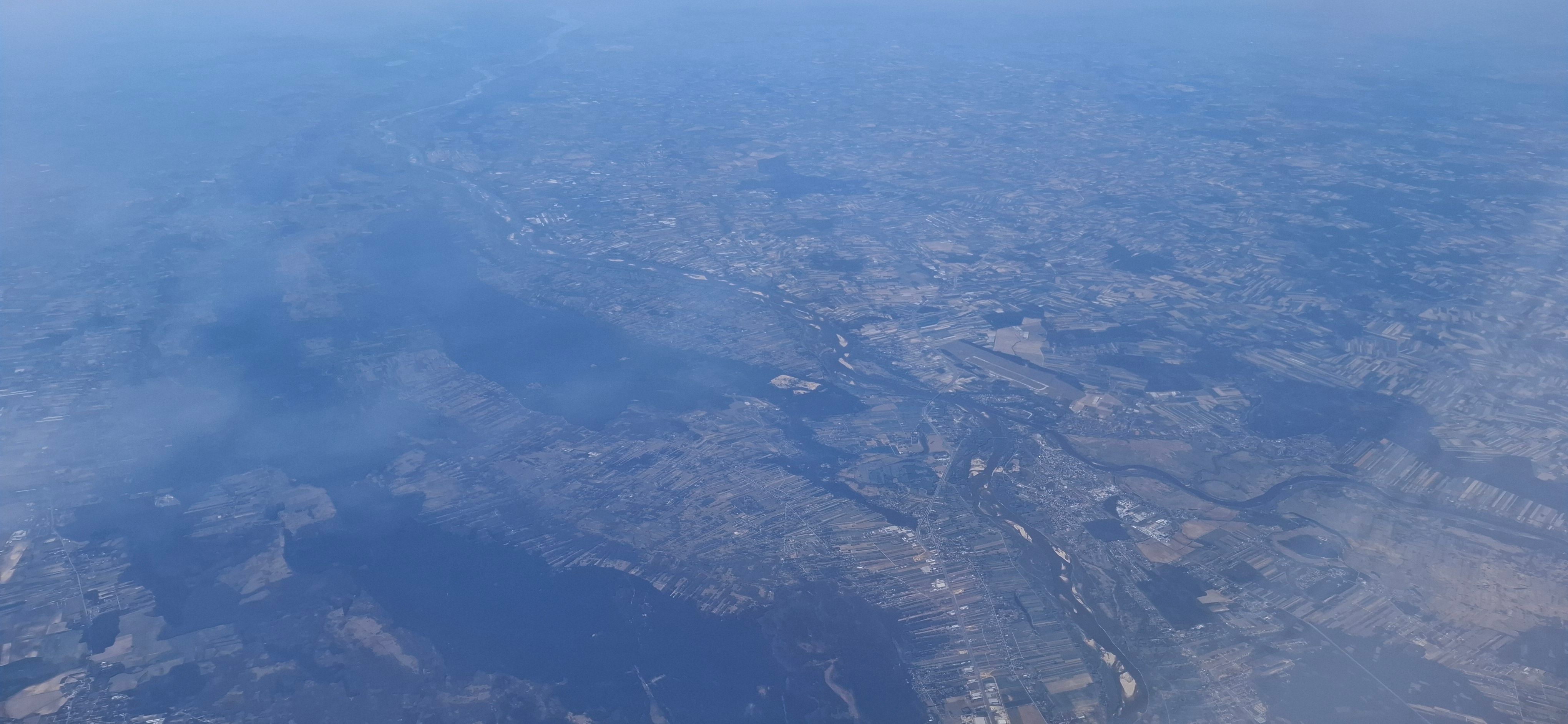
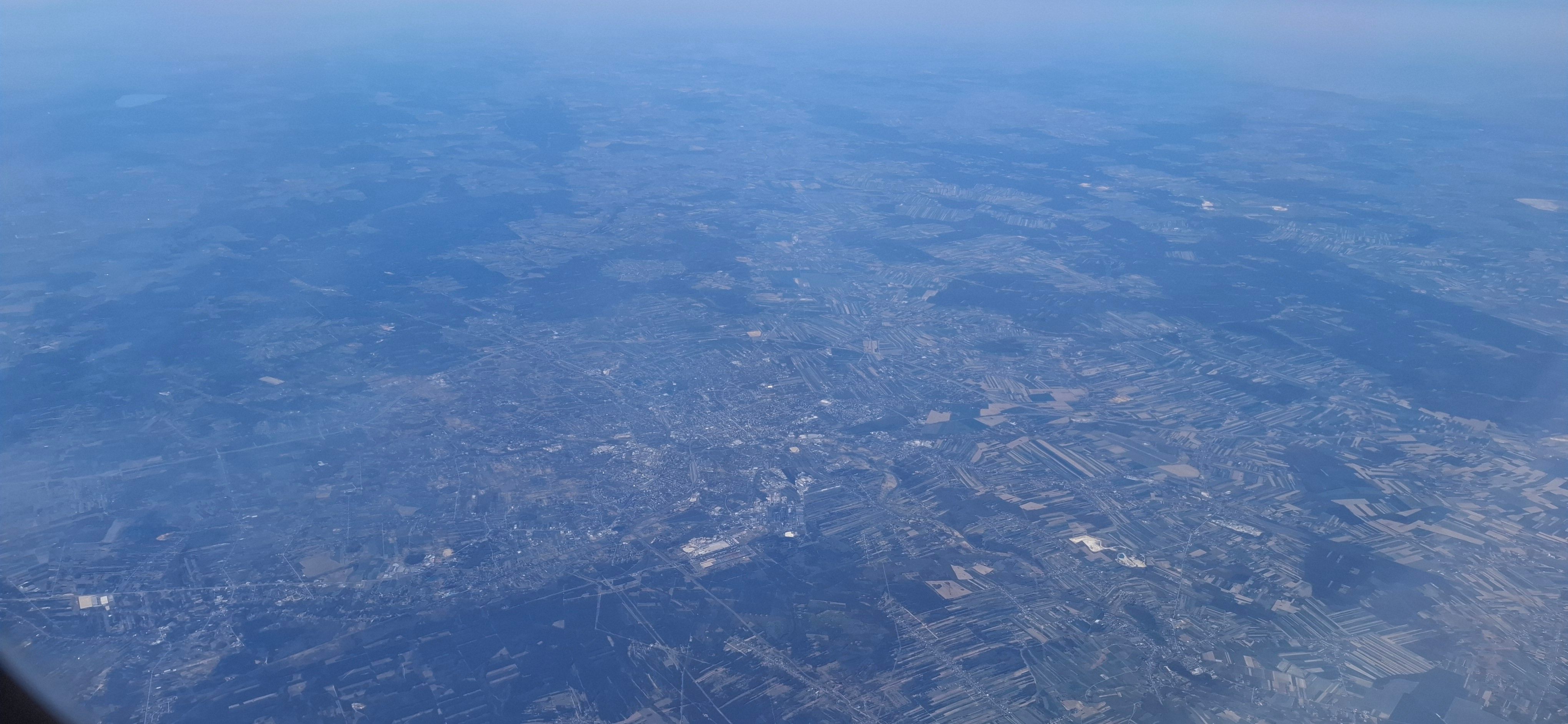
Previously, from Vienna to the Belarusian-Russian border, visibility was ideal. Rivers for orientation are always helpful, like the Vistula near Warsaw, for example, which is shown in the second photo.
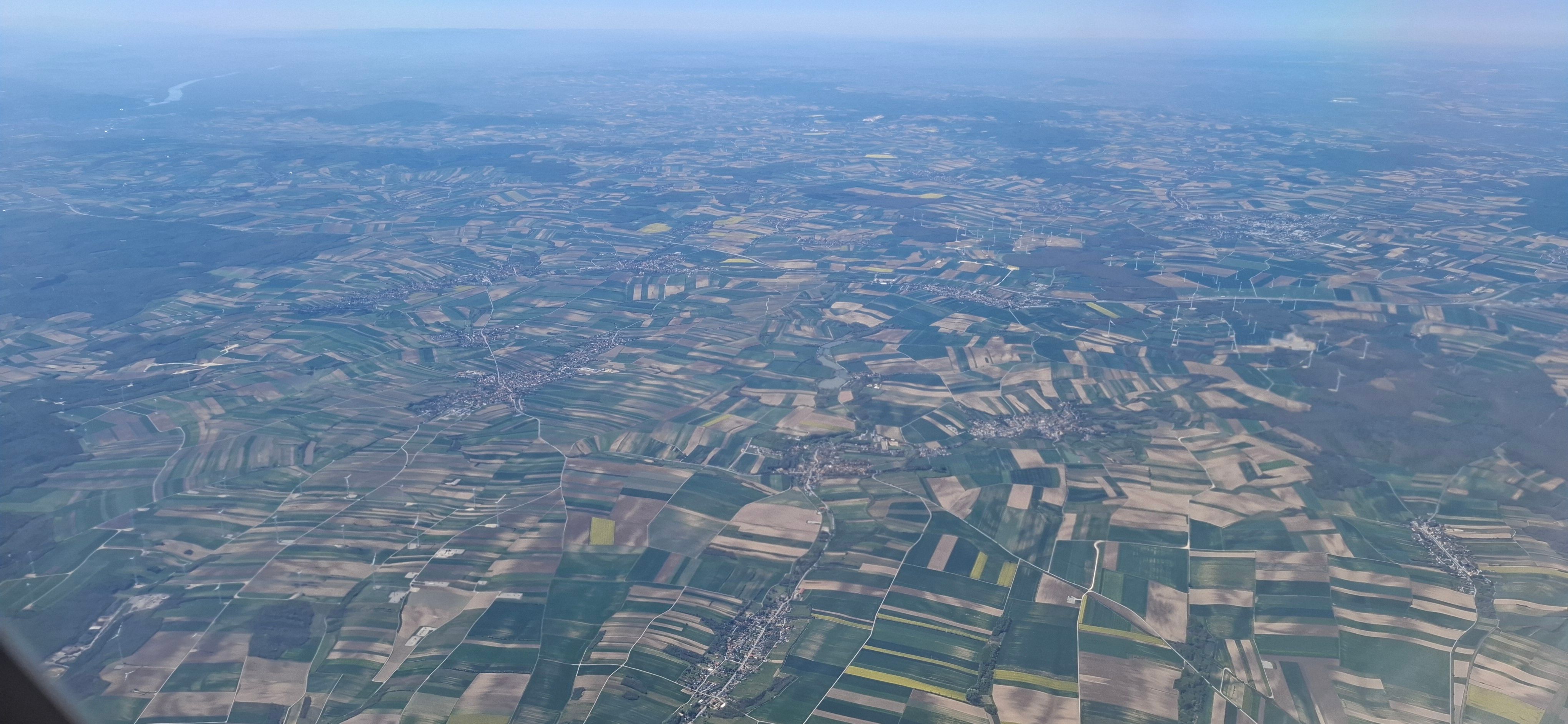
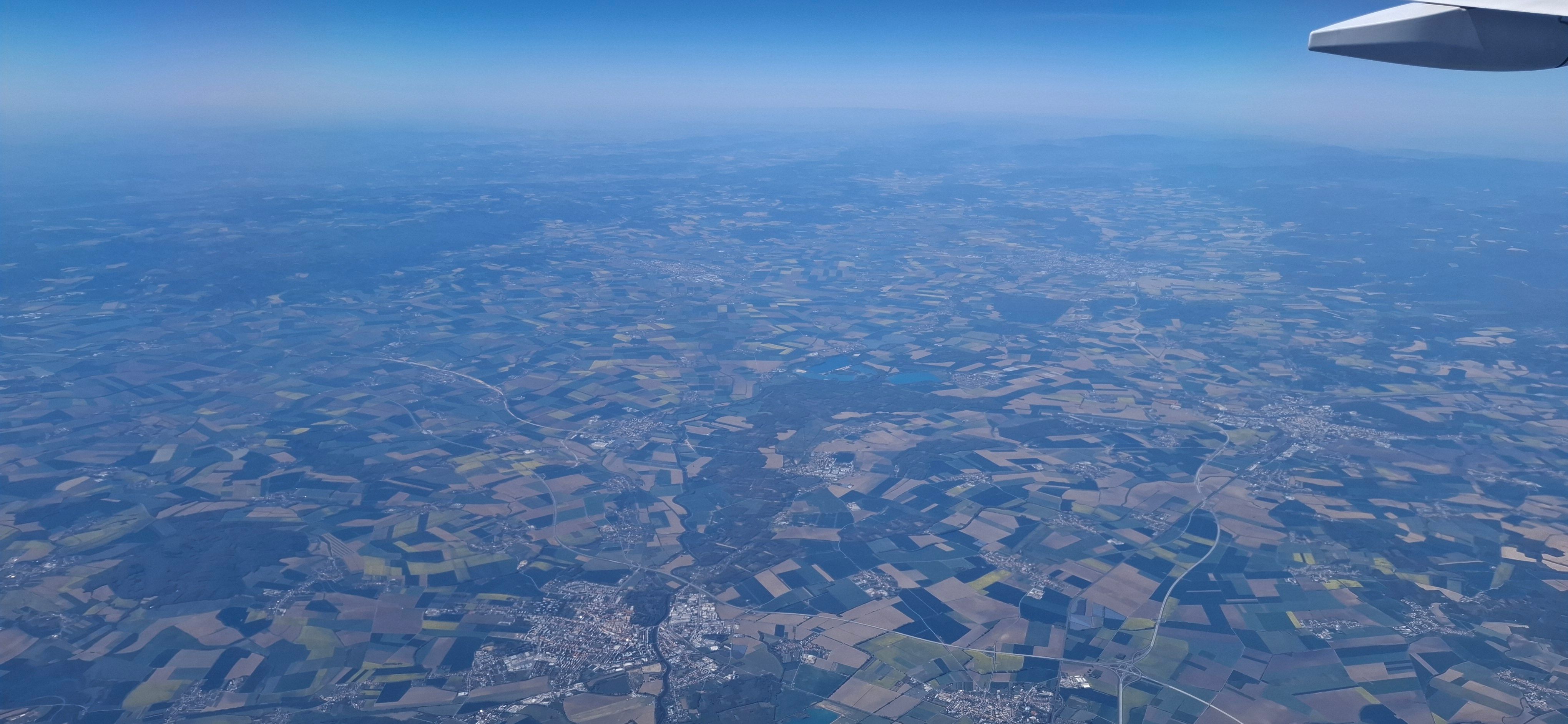
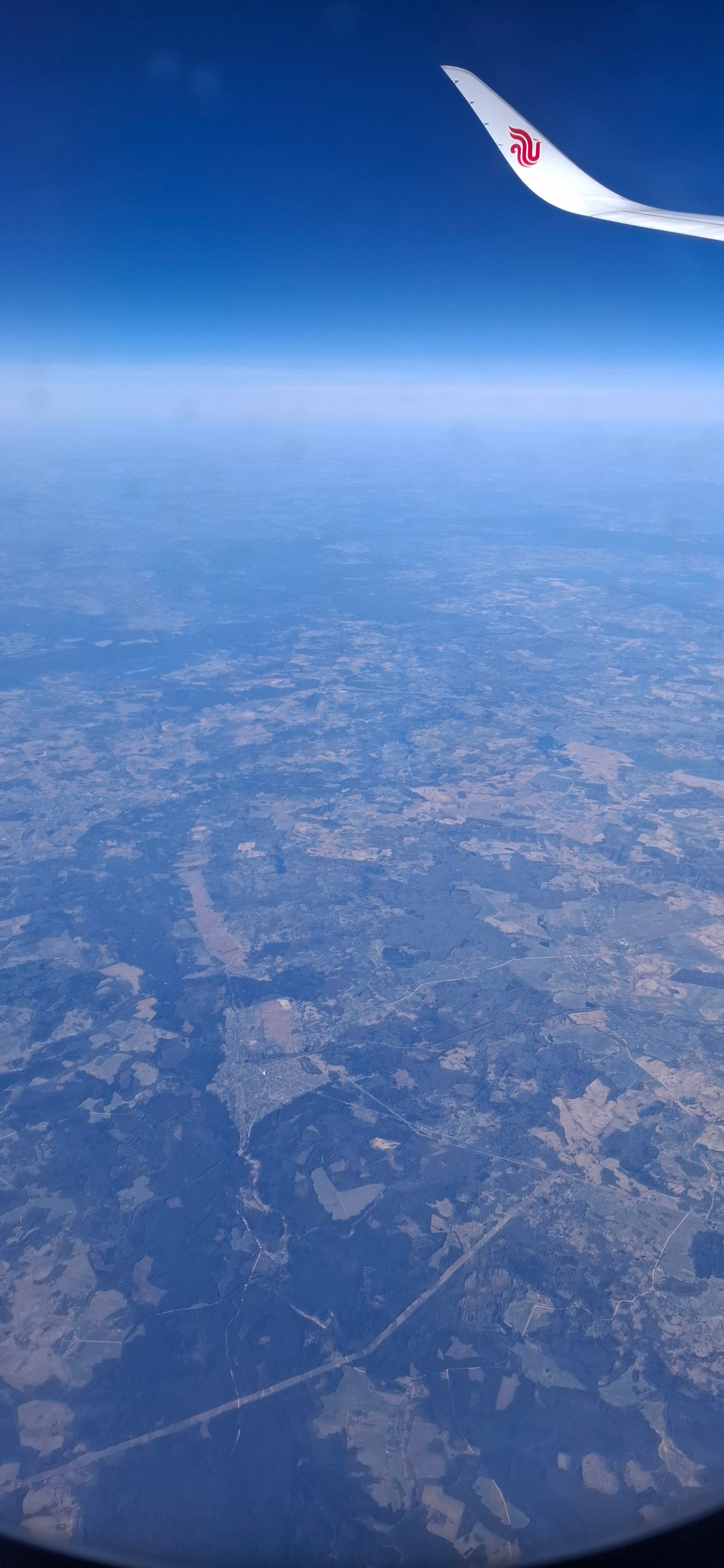
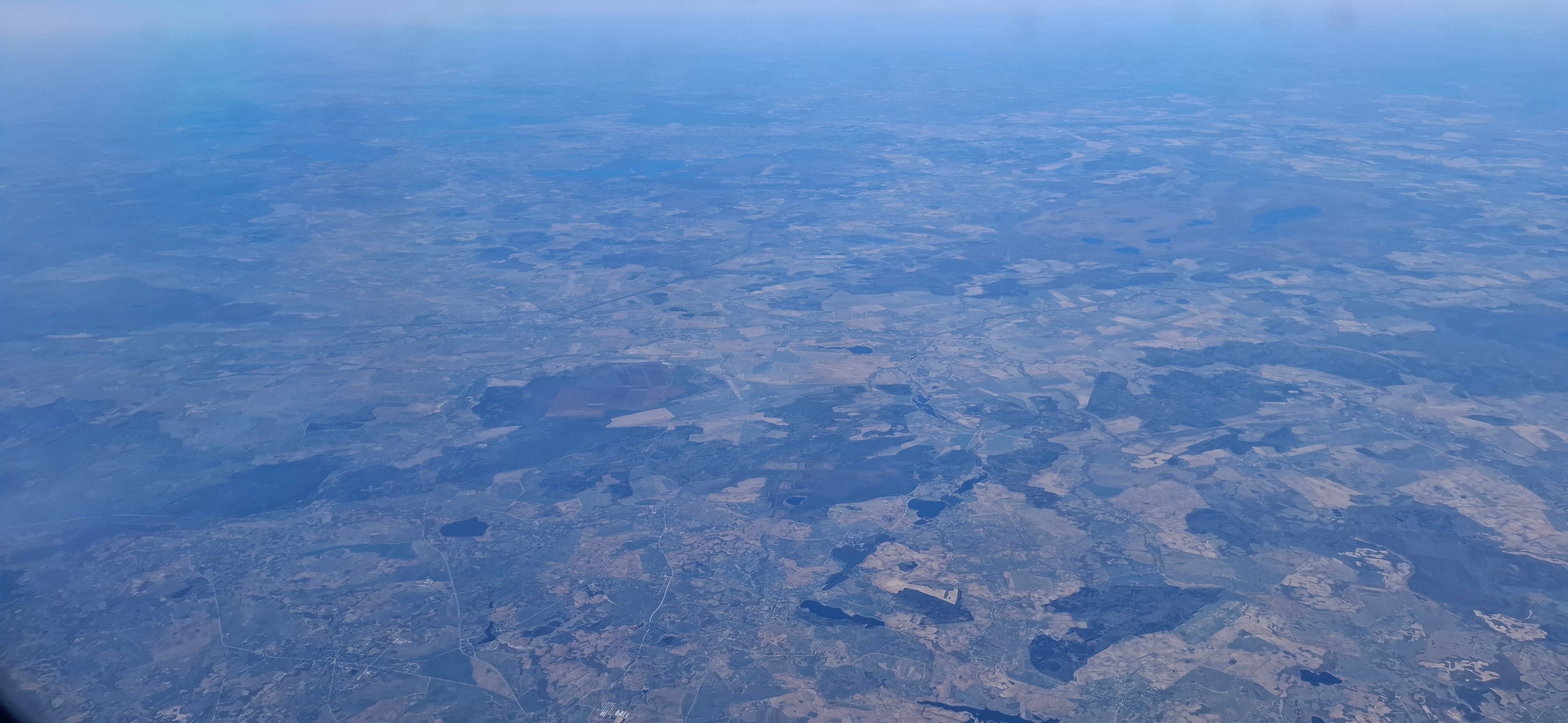
The type of fields also tells something about the landscapes below, as seen in the next four photos: Austria with its patchwork of small fields. Moravia with areas that originated from the communist collectivization and have not been newly divided (Babisch's Agrofert!) along with the small private plots along the village roads. Poland with its almost pointillistic small fields compared to the square fields in Austria. In Lithuania, it looks similar to Moravia again. Then come the forests and marshlands of Belarus and finally the remarkable desolation of Russia. Without any noticeable effort to extract much from the land, it is romanticized as the endless Russian expanse and the mysterious Russian soul.
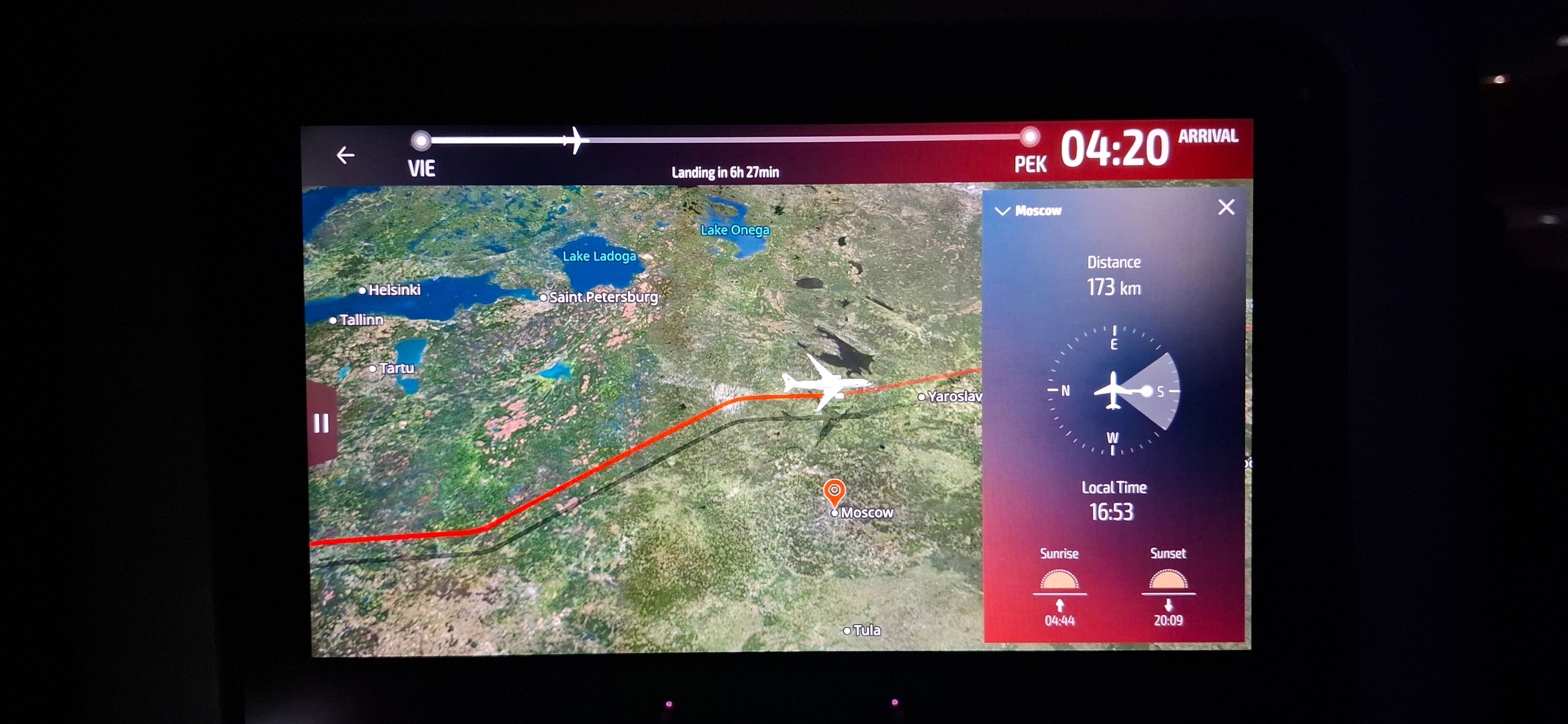
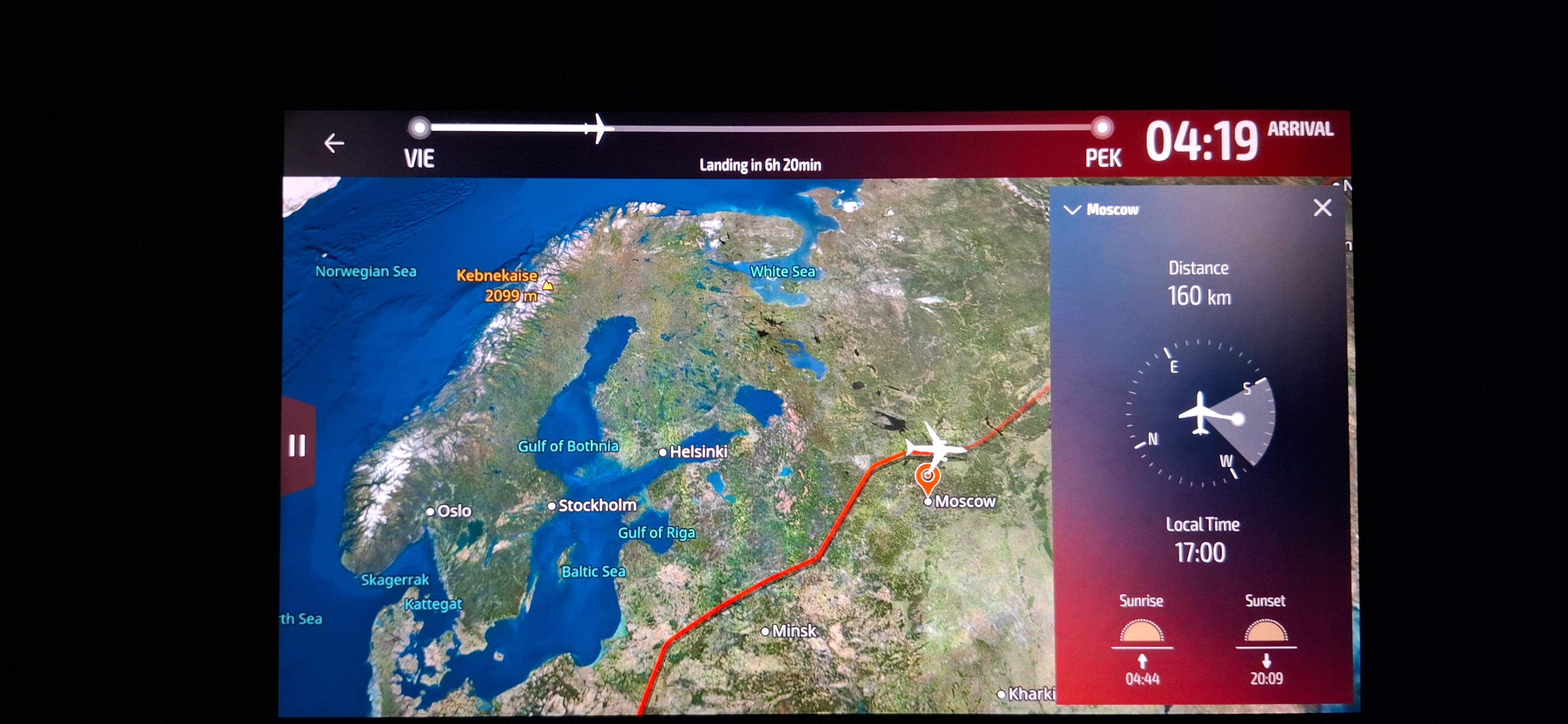
We flew north of Moscow, maintaining a distance of between 173 km and 160 km.
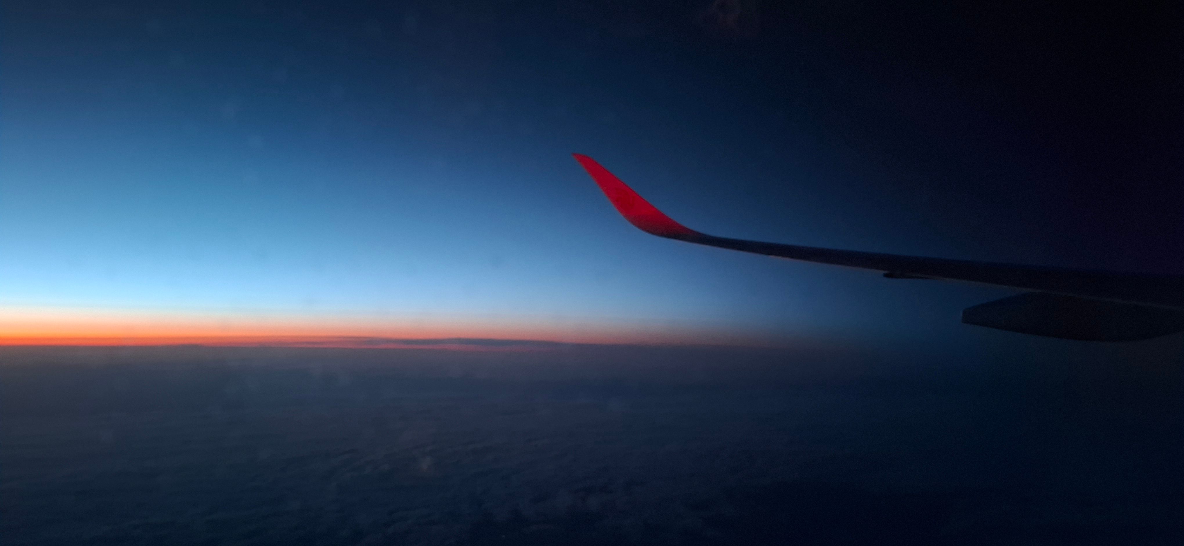
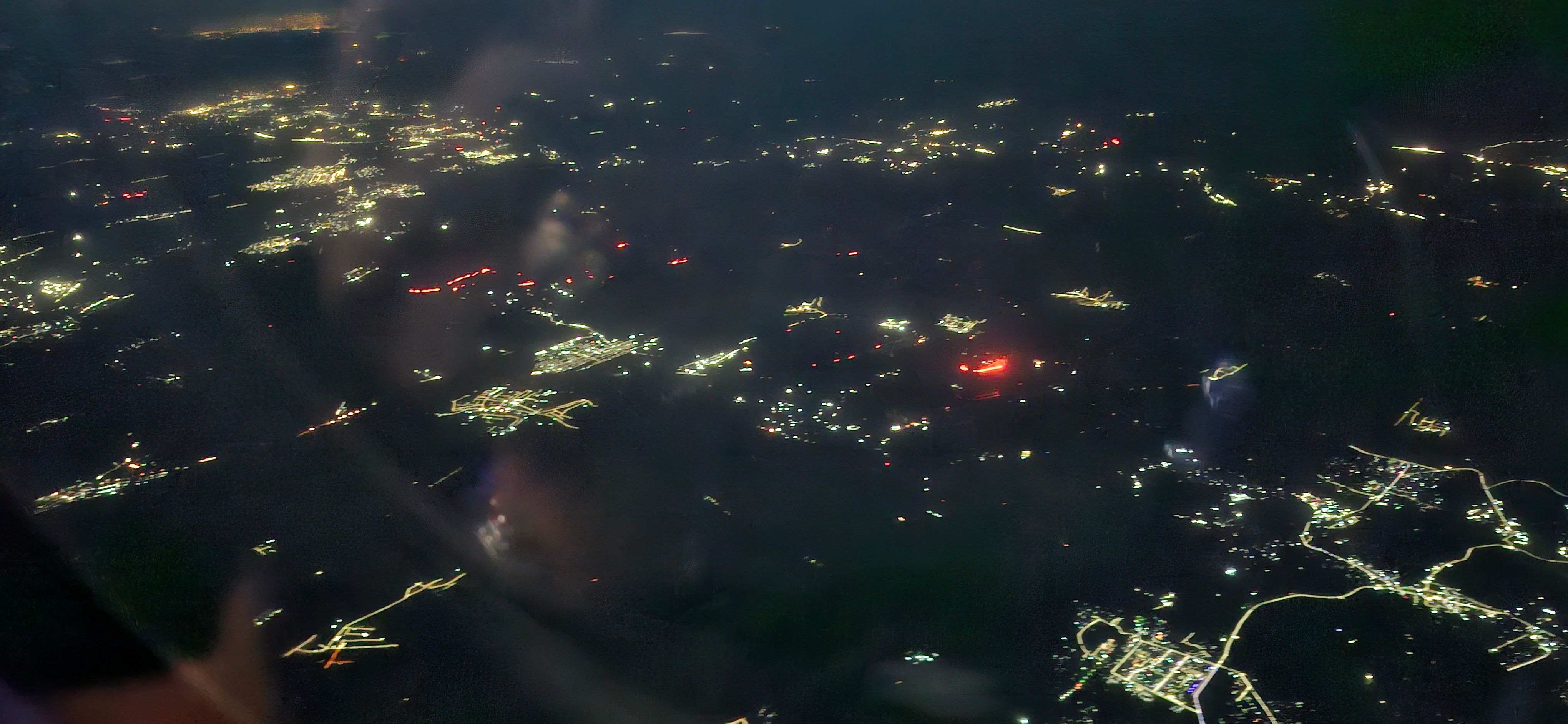
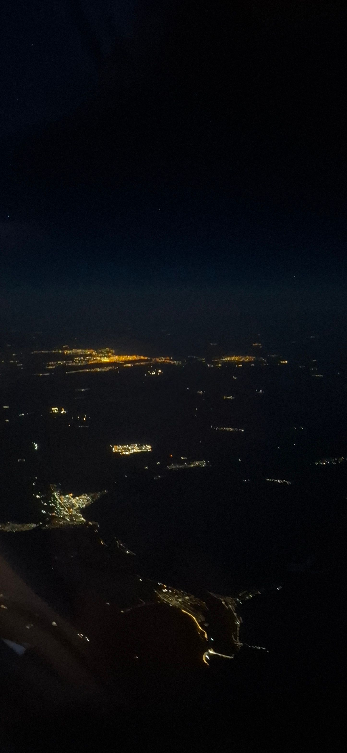
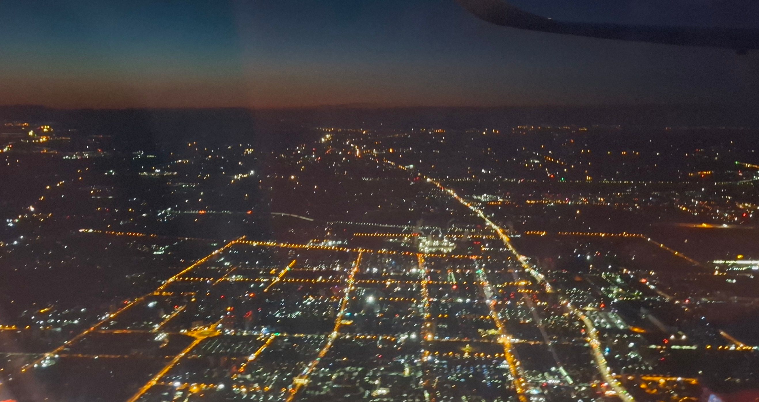
After Sunset Over Siberia, I did not expect many lights on the ground, but I was mistaken: We flew directly over Kuzbas, Novokuznetsk to be precise, and then passed south of the Krasnoyarsk Reservoir with the city of Abakan. Mr. Ulyanov's legendary place of exile, Shushenskoe, is also located there.
But then it was over with lights, right in the local night, with only a few places in Mongolia shining through. With not even a weak dawn and almost no sleep - Beijing, 4 hours to change to Taipei, it is already Sunday here in the east.
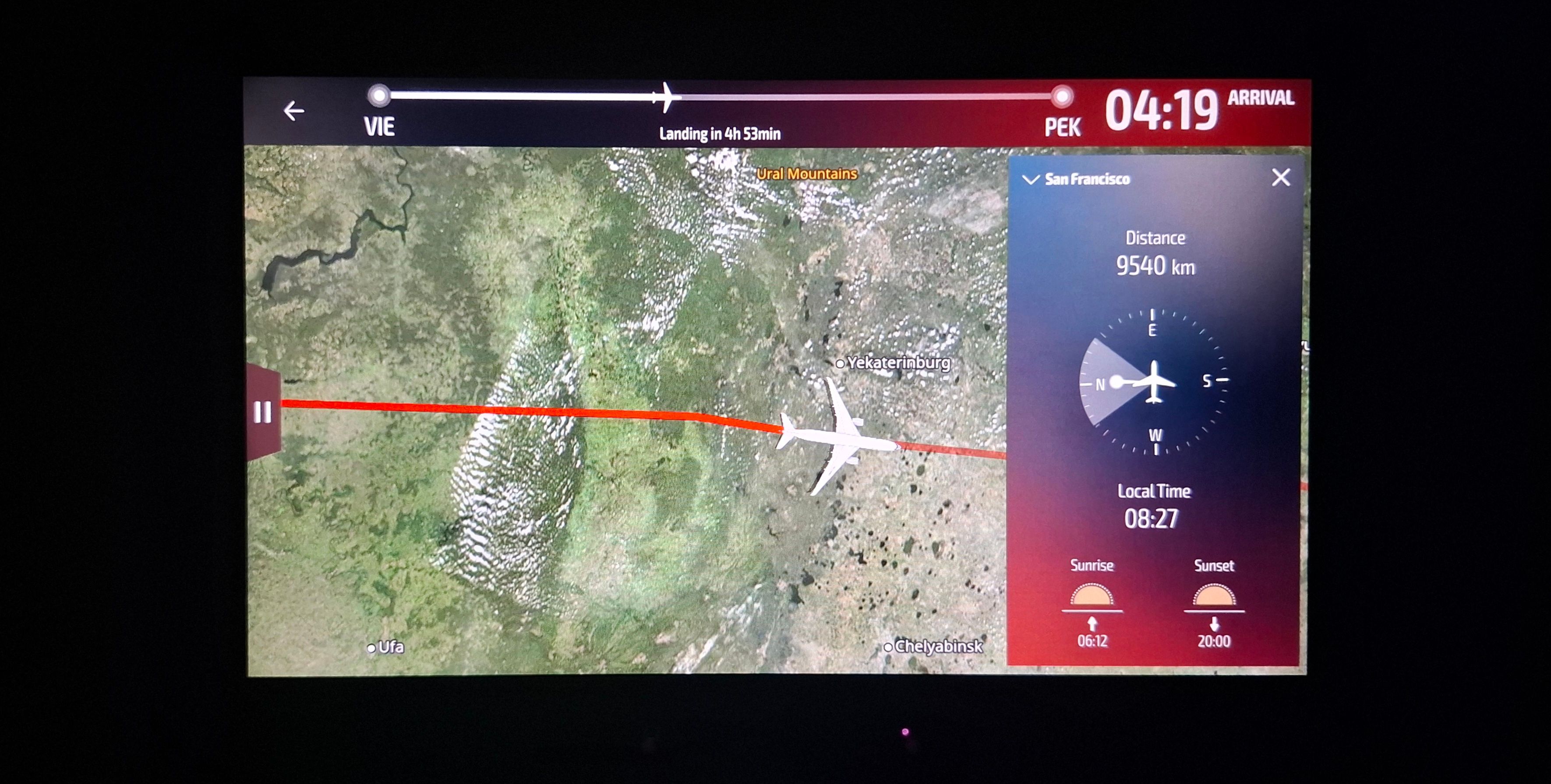
PS: On the way, I also had something to play with – the functions of the seat monitor of Air China, including the distance measurement to certain locations along with cardinal directions. What appears on the screen is already noteworthy (San Francisco in the north, due to the shortest route to it).