Voyage to Agats, West New Guinea, Indonesia, Day 1 at Sea
We are sailing from the Conflicts Islands, located in the far east of Papua New Guinea, to Agats. This city is on the island of New Guinea but belongs to the western part, thus...

Published: 30.04.2025
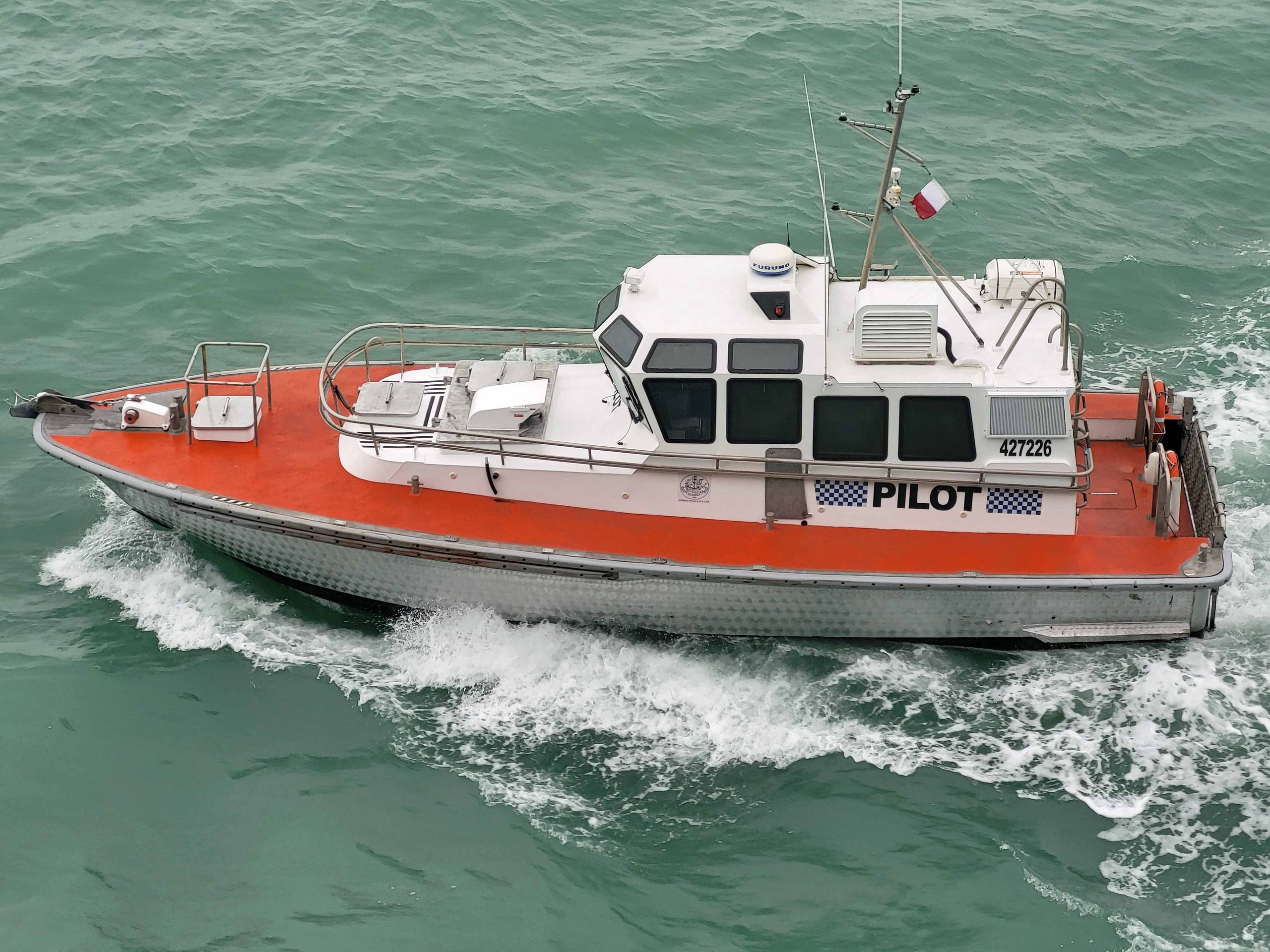
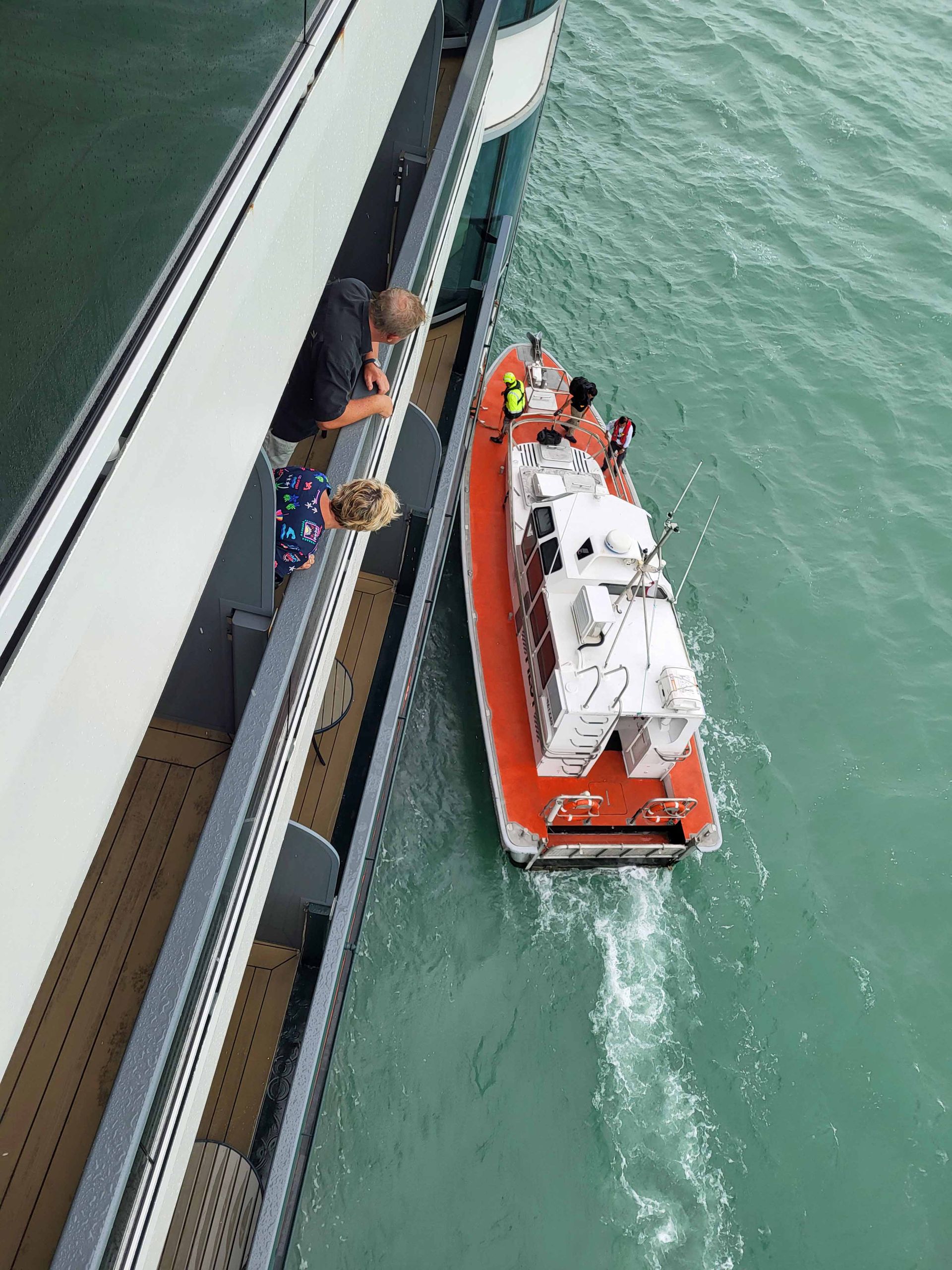
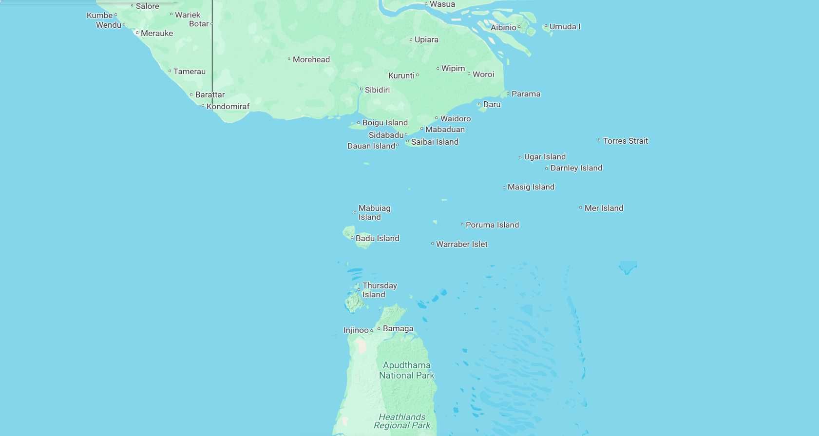
Yesterday, we experienced the second of three days at sea on our well over 2,000 km journey to Agats. We passed through the Torres Strait, a body of water characterized by strong currents and shallow areas. Given that there have been shipping accidents here, including incidents involving oil tankers, pilotage is mandatory.
This was the first time we encountered consistently poor weather. It basically rained heavily and thundered the entire time.
As always, we had some intriguing presentations. One presenter showcased a website that allows you to correct the display of countries' sizes (https://thetruesize.com/). Due to the projection of the Earth onto a flat surface (usually via Mercator projection), countries near the poles appear relatively larger, while countries near the equator appear relatively smaller. On the website, you can drag a country across various latitudes to compare its size accurately. You can see that New Guinea is quite large.