
Farewell to Finland – Between Rain, Sauna, and Sámi Culture
Step at the Camp
Published: 25.08.2025
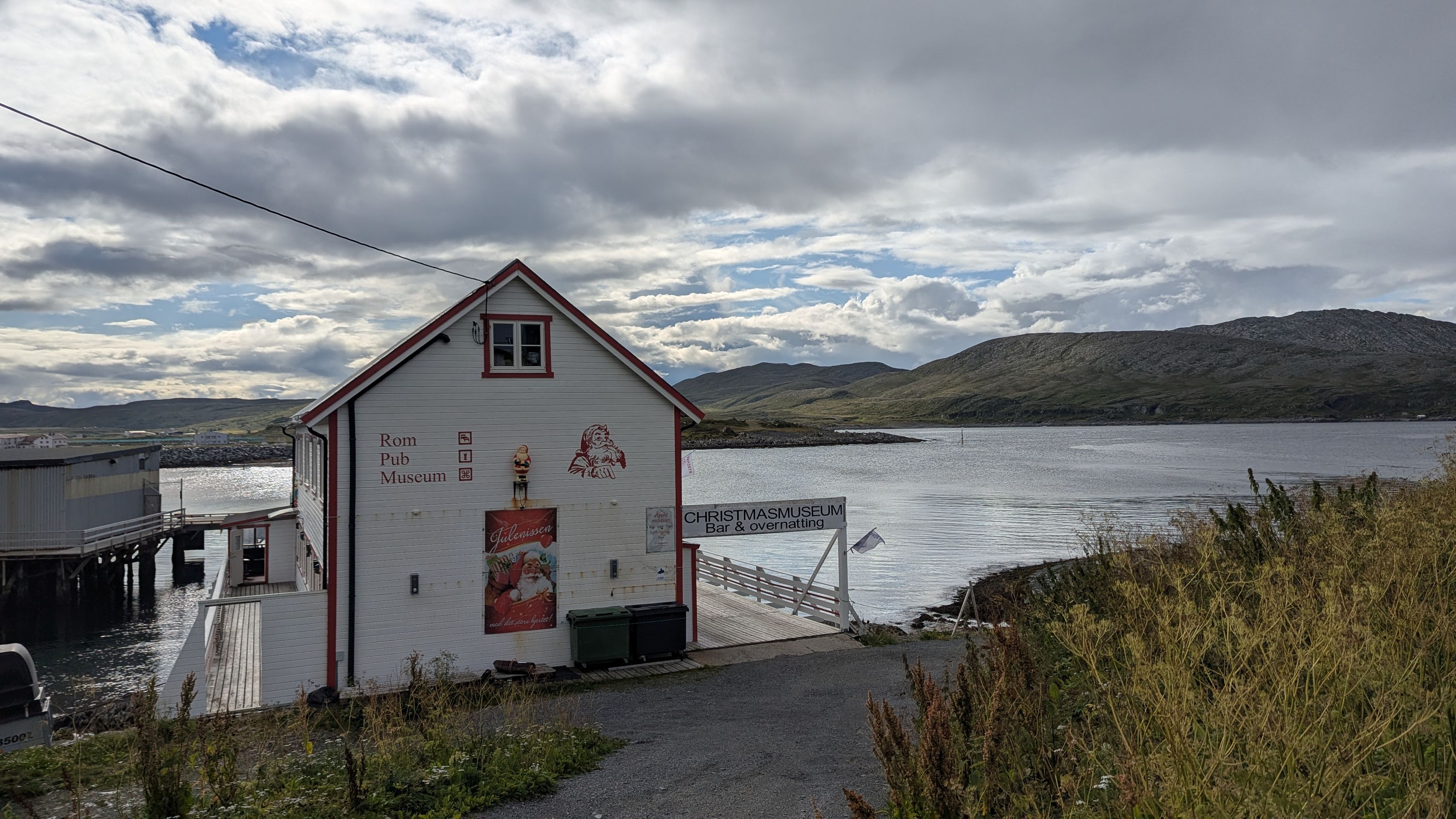
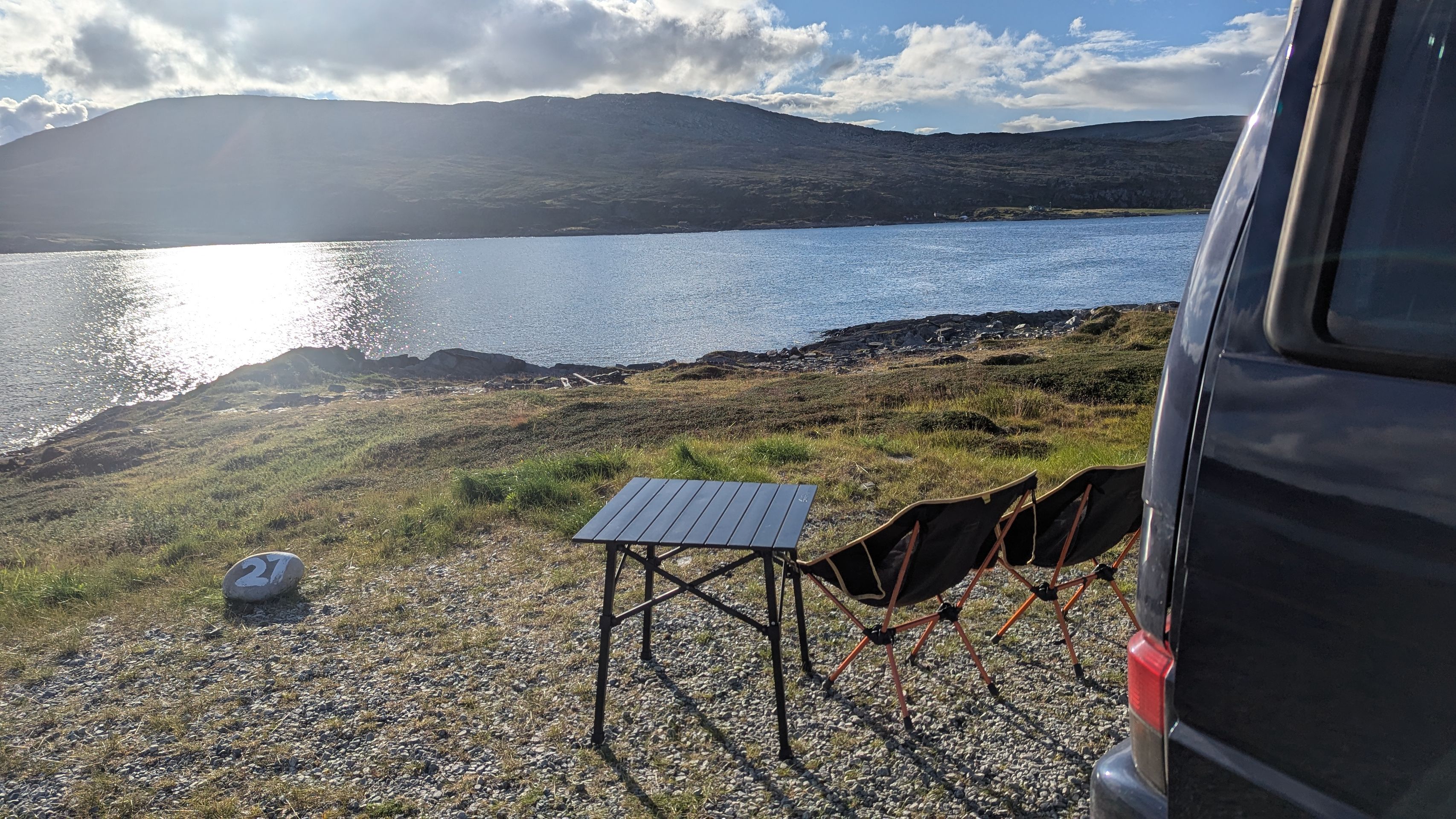
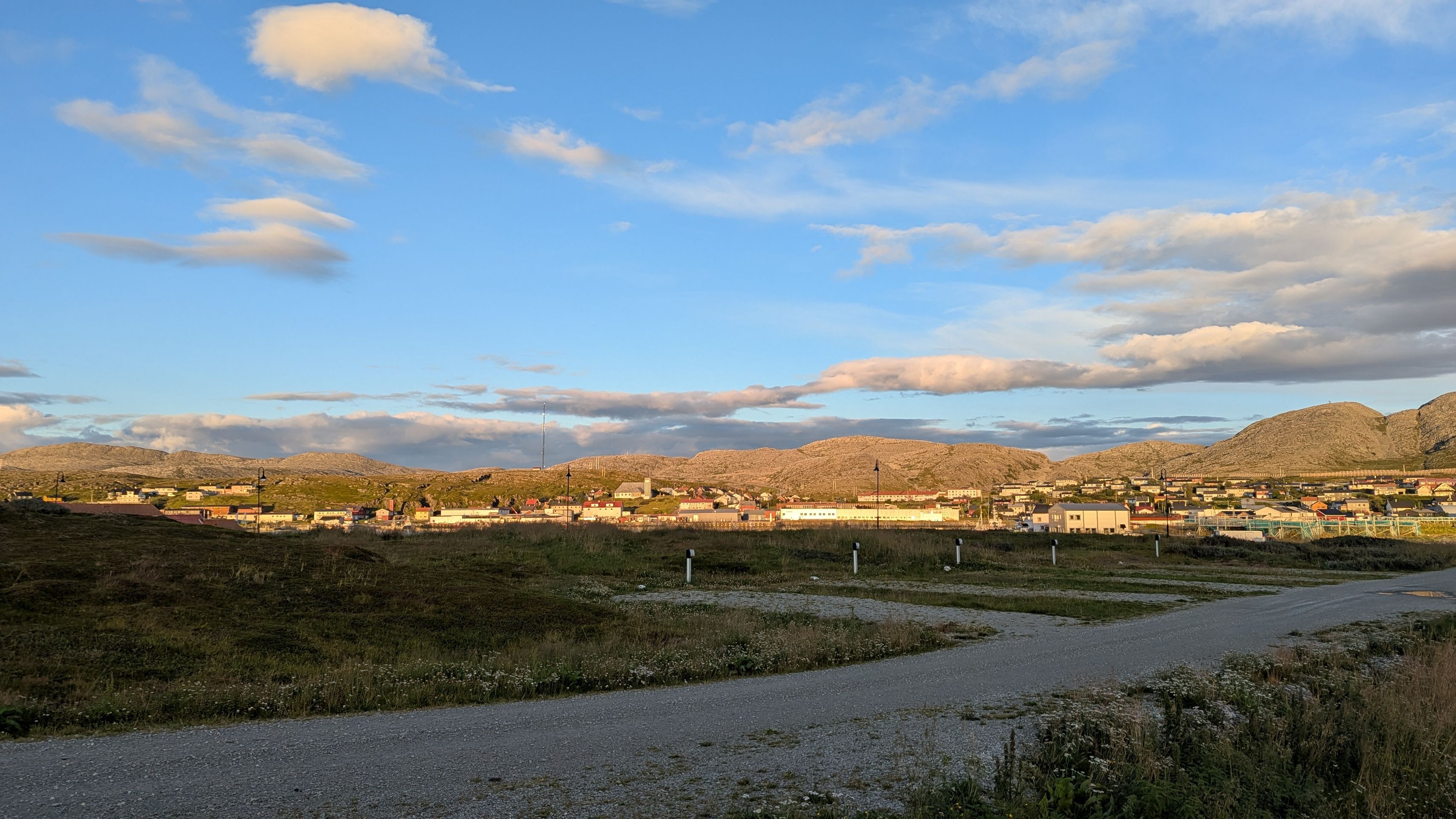
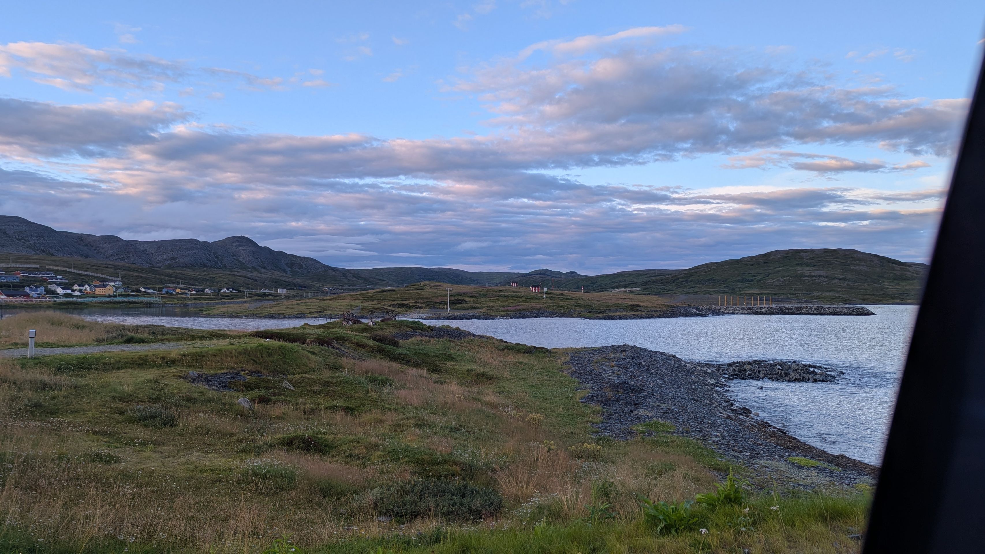
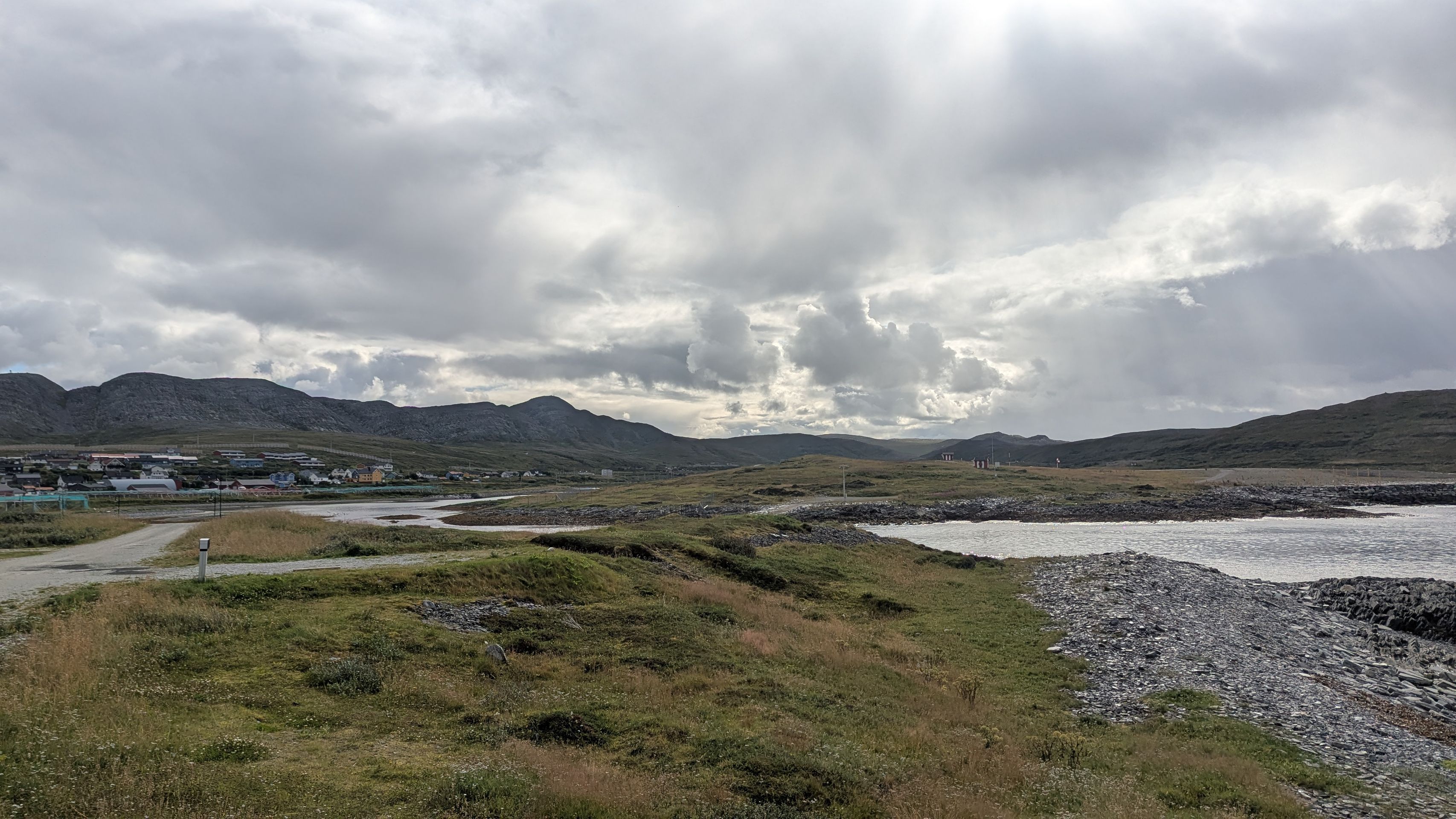
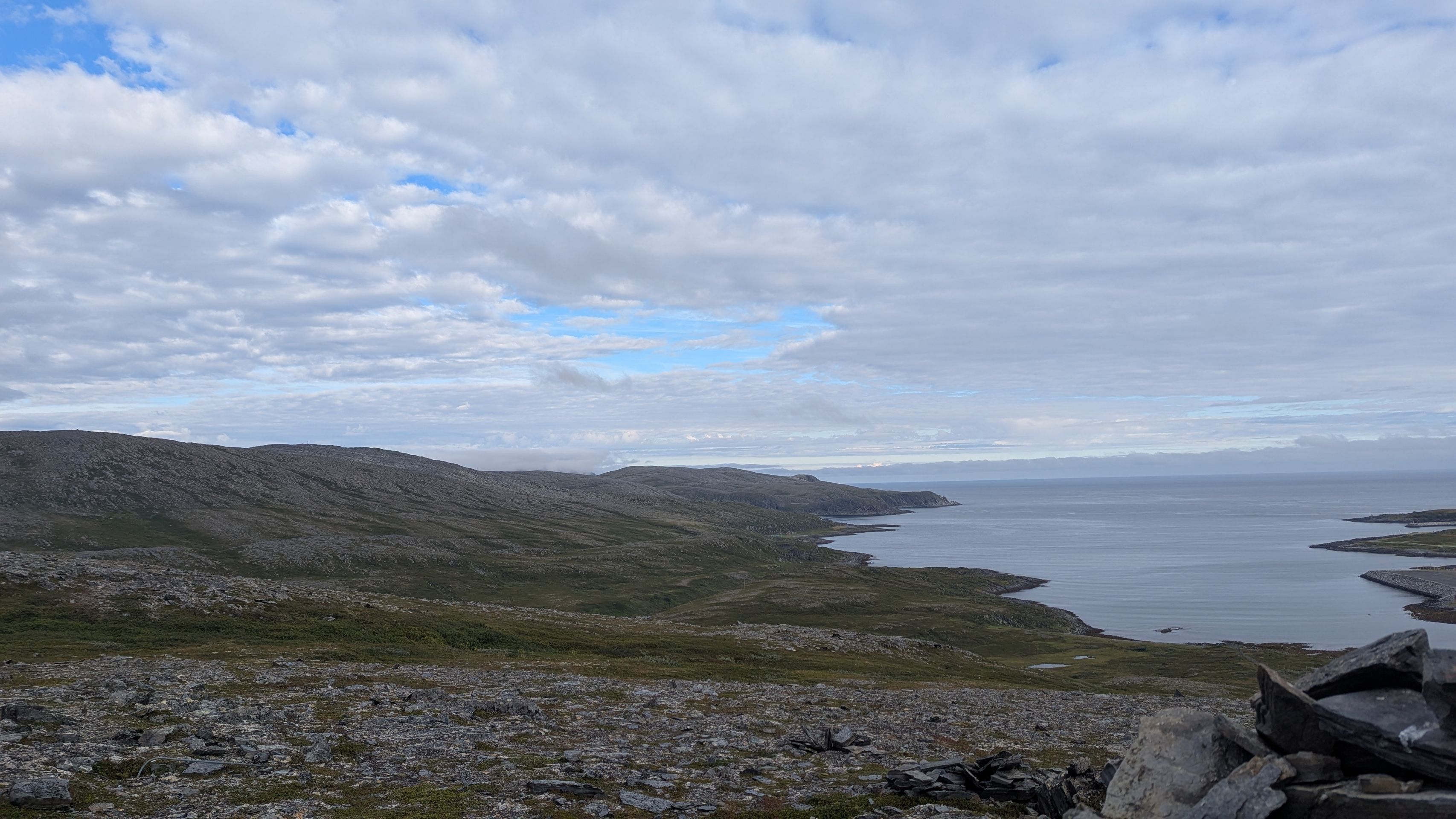
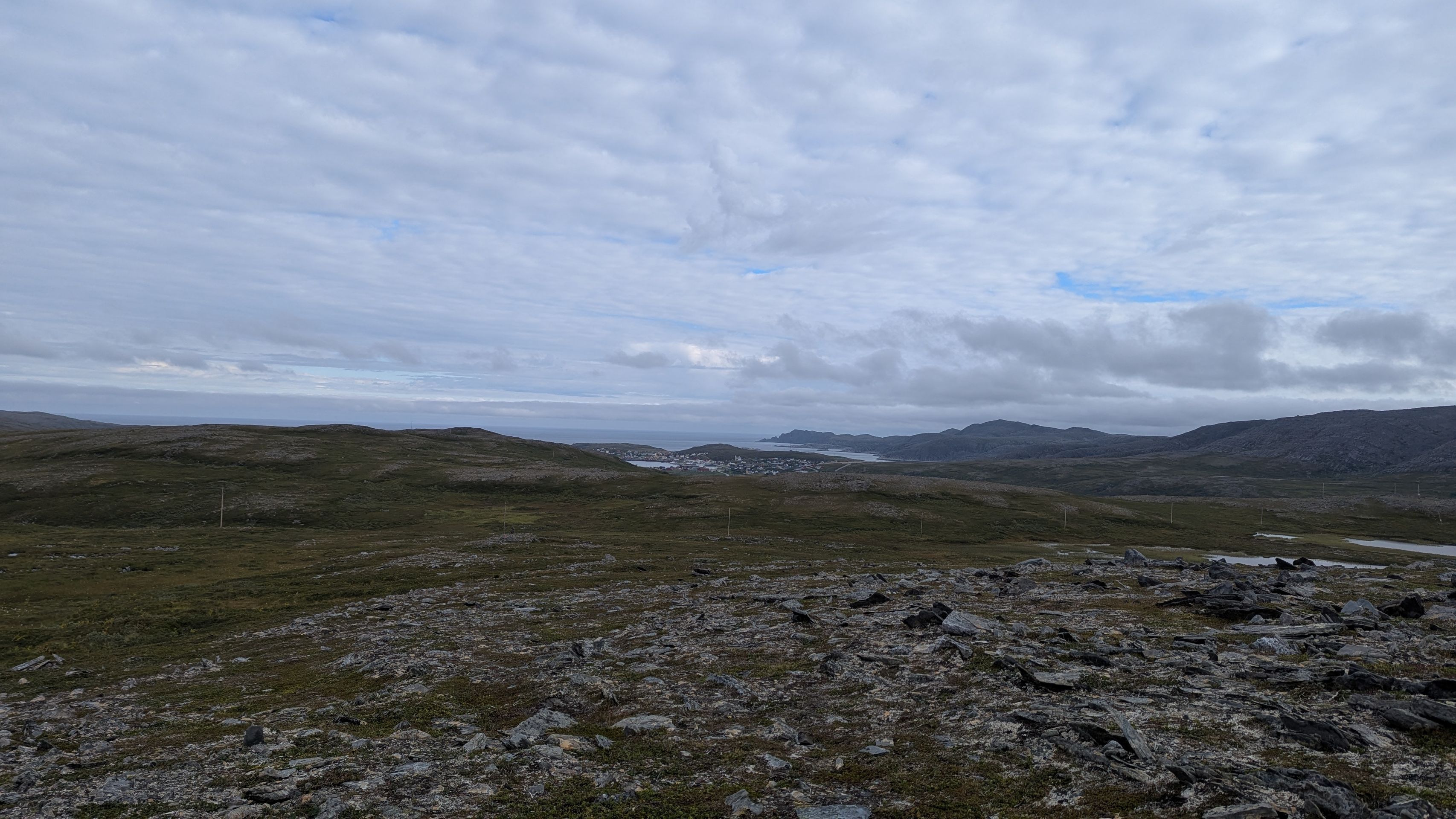
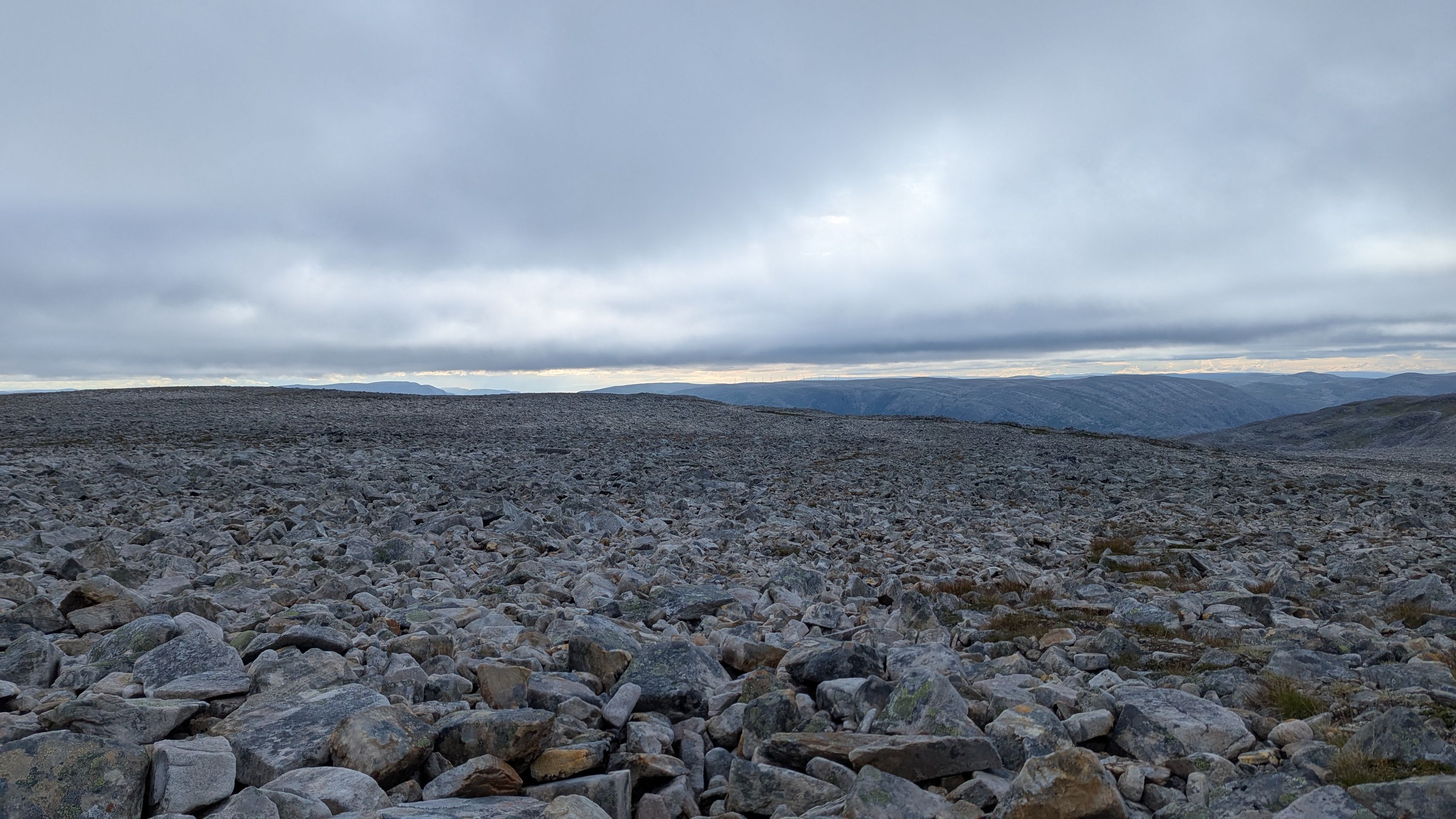
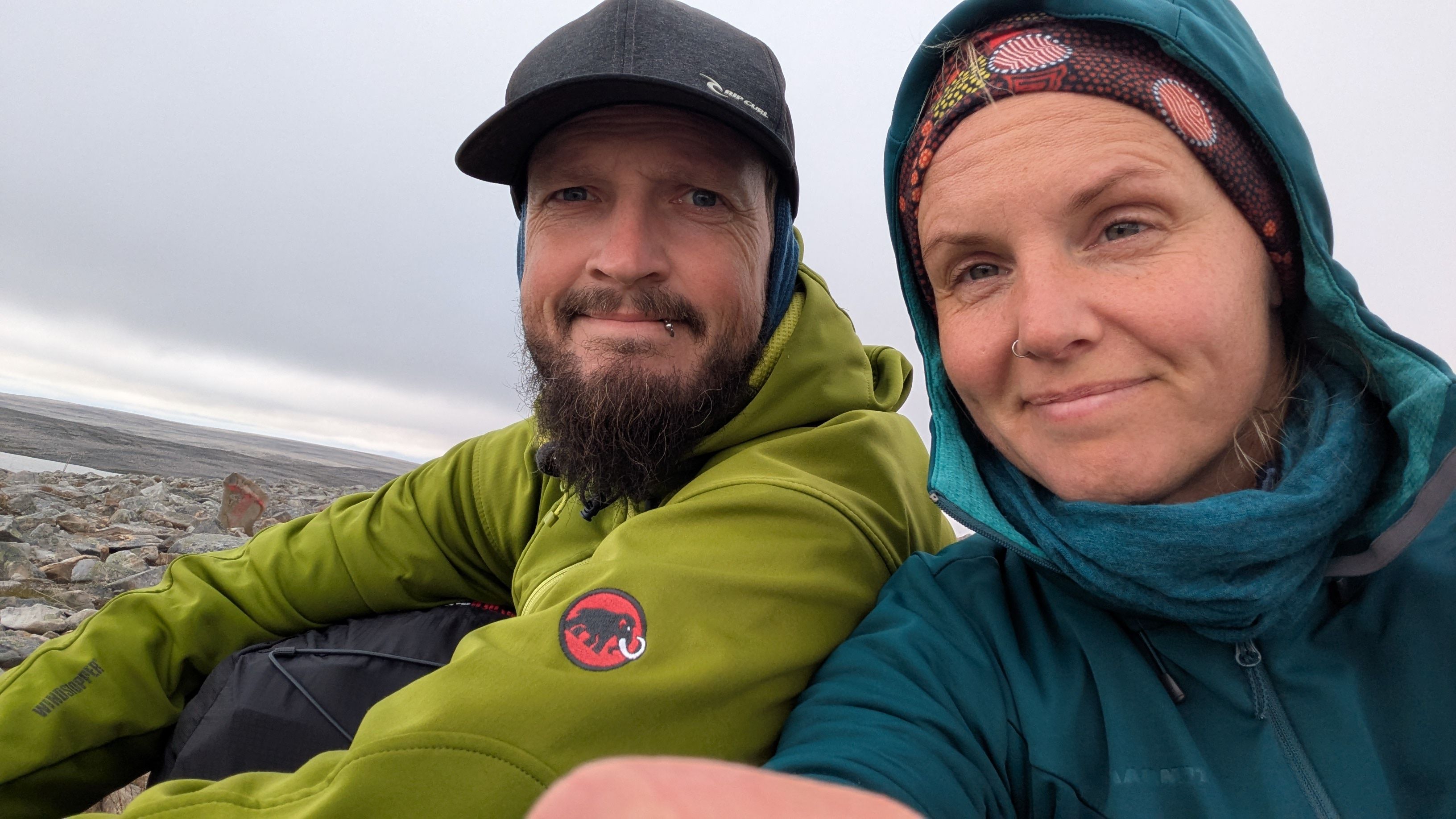
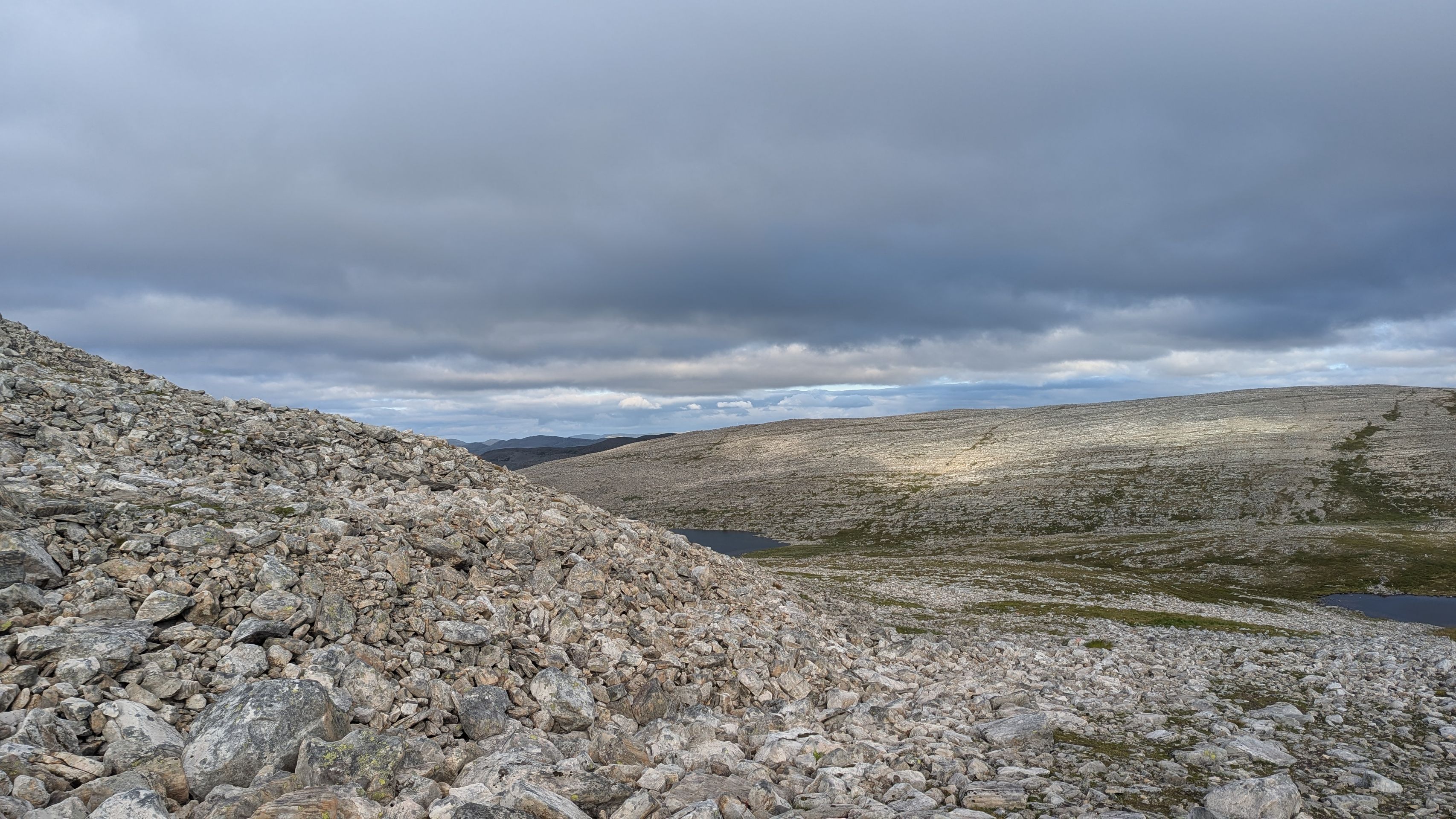
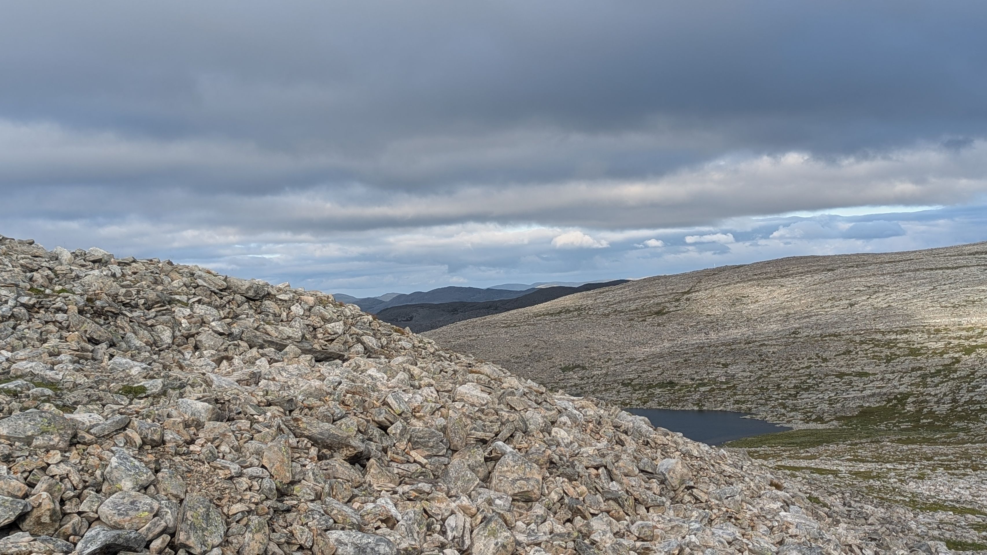
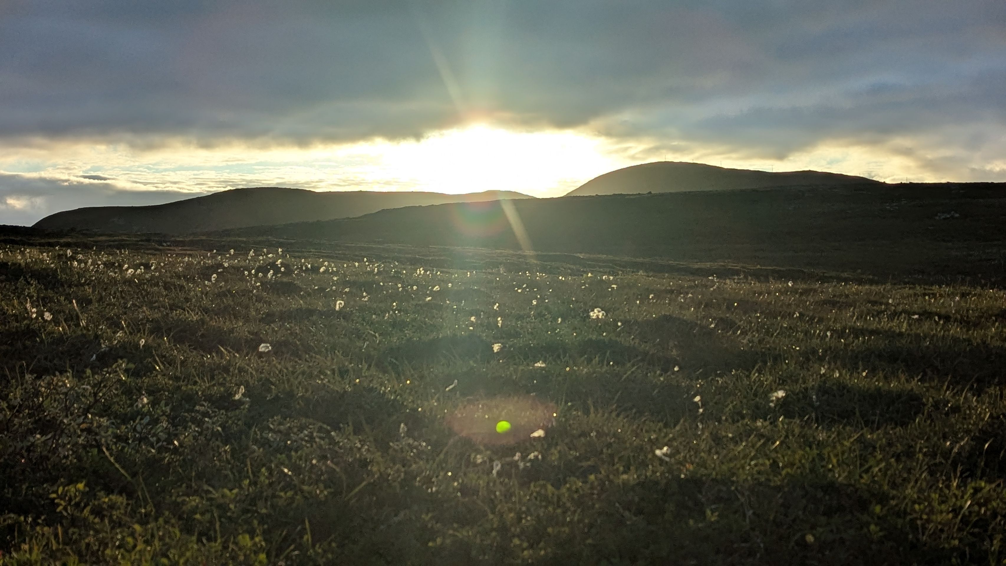
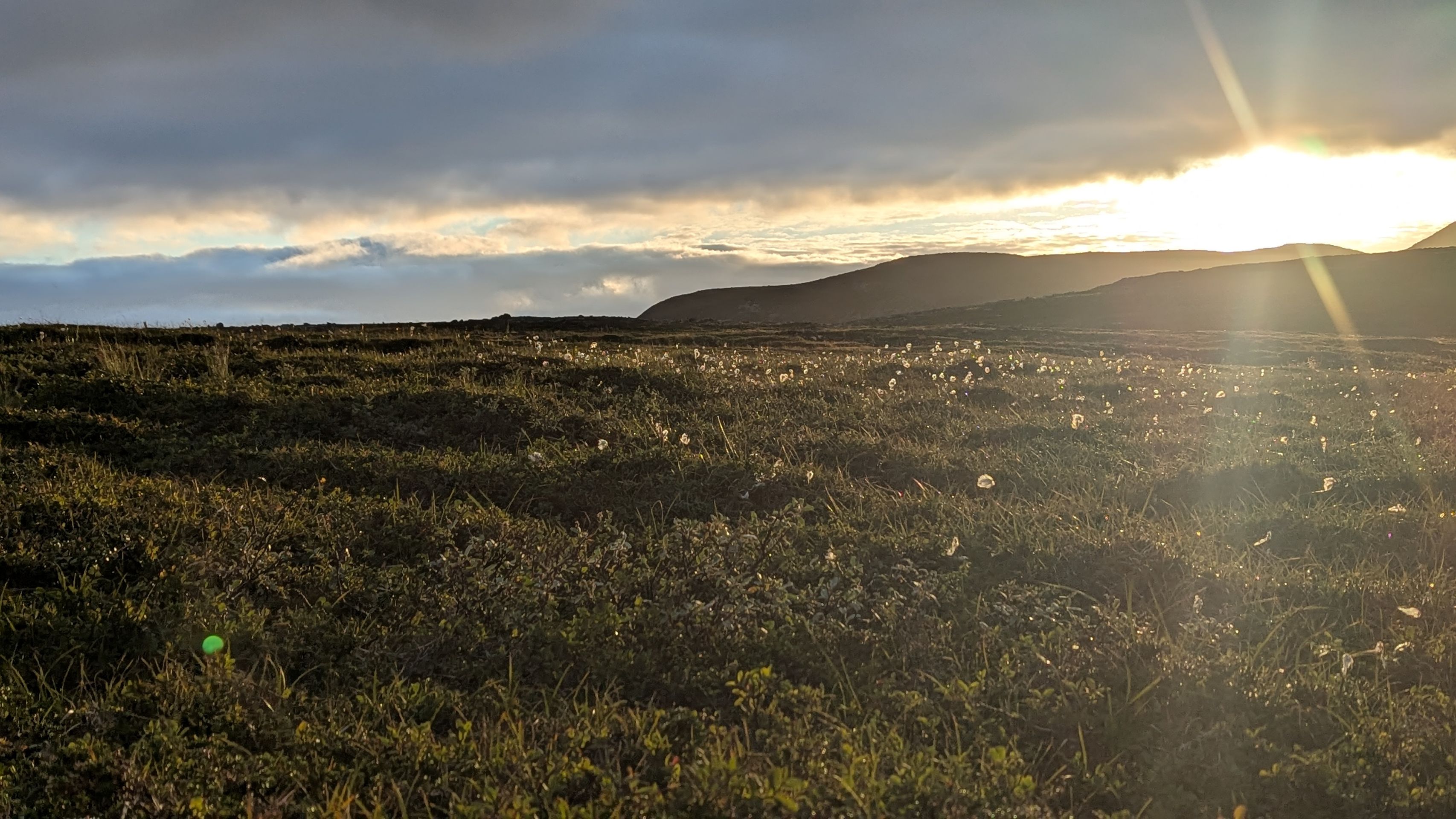
We’re almost at the top. Arriving in Mehamn, we immediately fall in love with this little fishing village at the end of the world – or rather, at the end of the European mainland. At least there’s a small airport here, and the Hurtigruten ship calls at the harbor every evening at 7 p.m. Colorful wooden houses and fishing boats line the shore, and as we arrive, the sun even comes out – something we’ve really missed in the past few days. What must it be like here in the middle of winter?
But the real reason we came all the way up to this peninsula is another one.
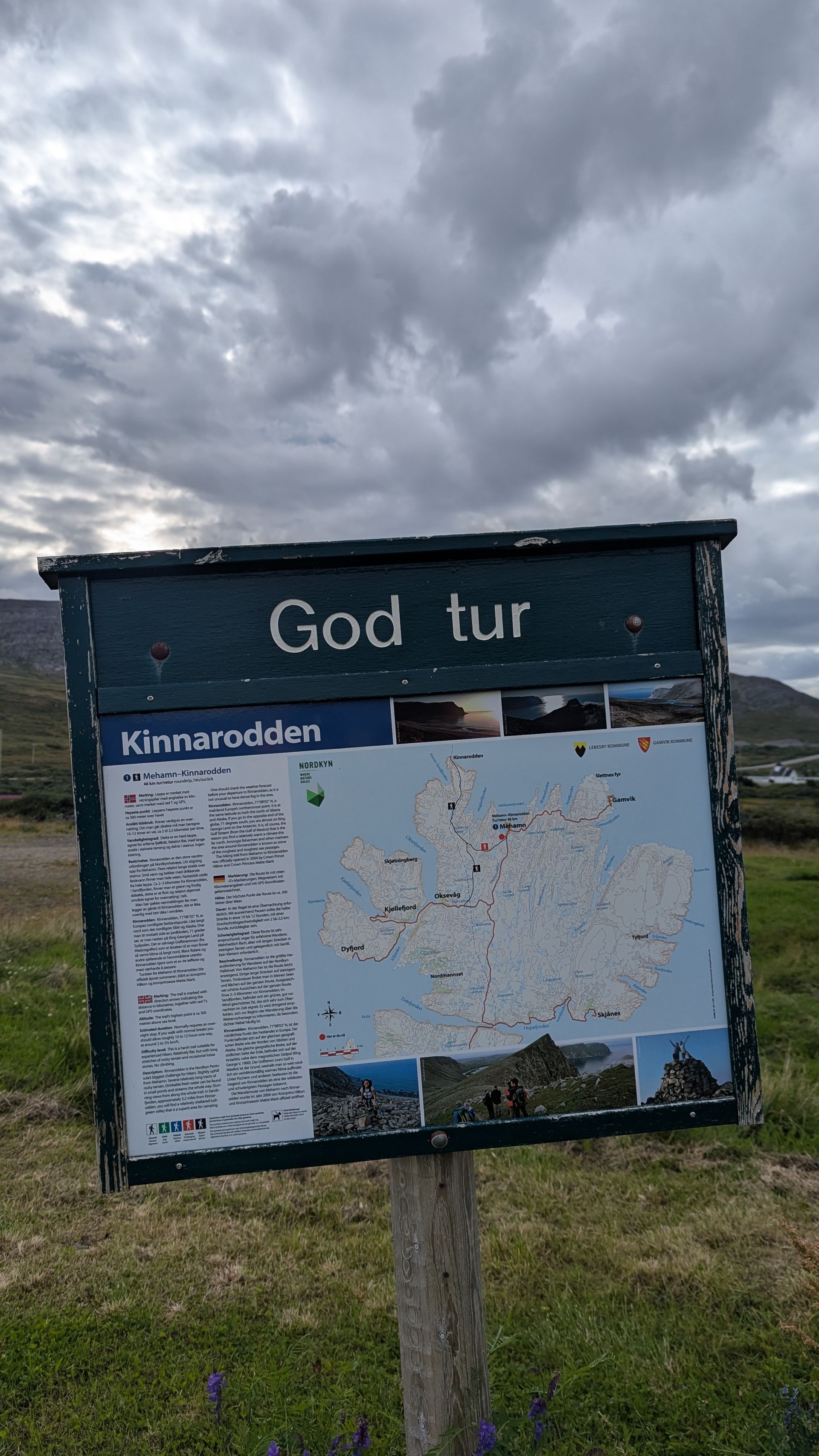
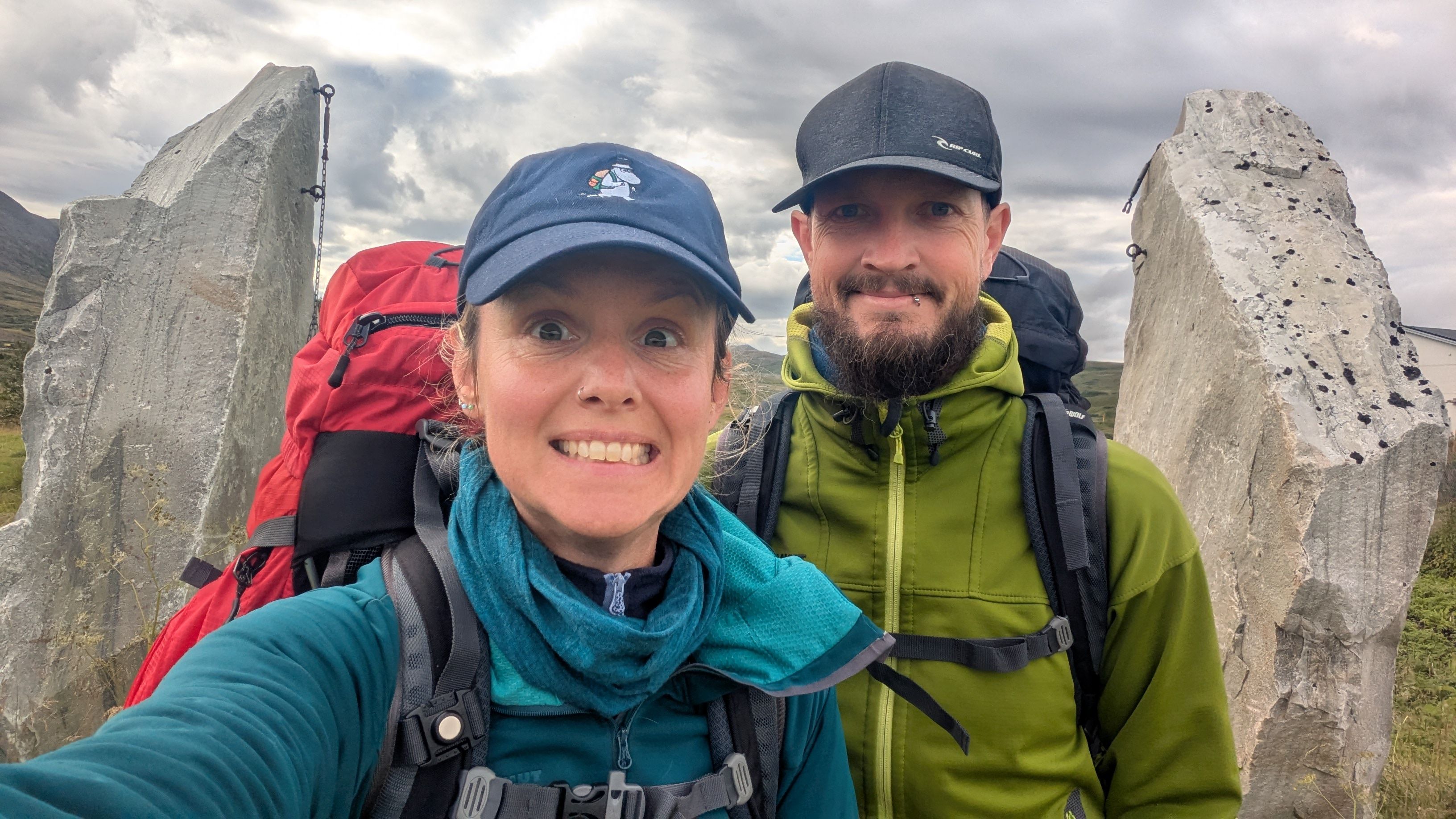
Since February we’ve had the plan to hike to Kinnarodden – Nordkinn, the true northernmost point of the European mainland. The trail is said to be tough and not for the faint-hearted… at least that’s what we’ve read. On our hiking app, some people even claim to have done the almost 50 km route in a single day – impossible for us! But still, we want to give it a try.
On Sunday, August 24, we set out. With light gear: tent, sleeping bags, warm clothes, and food for three days. Maybe we’ll need more time.
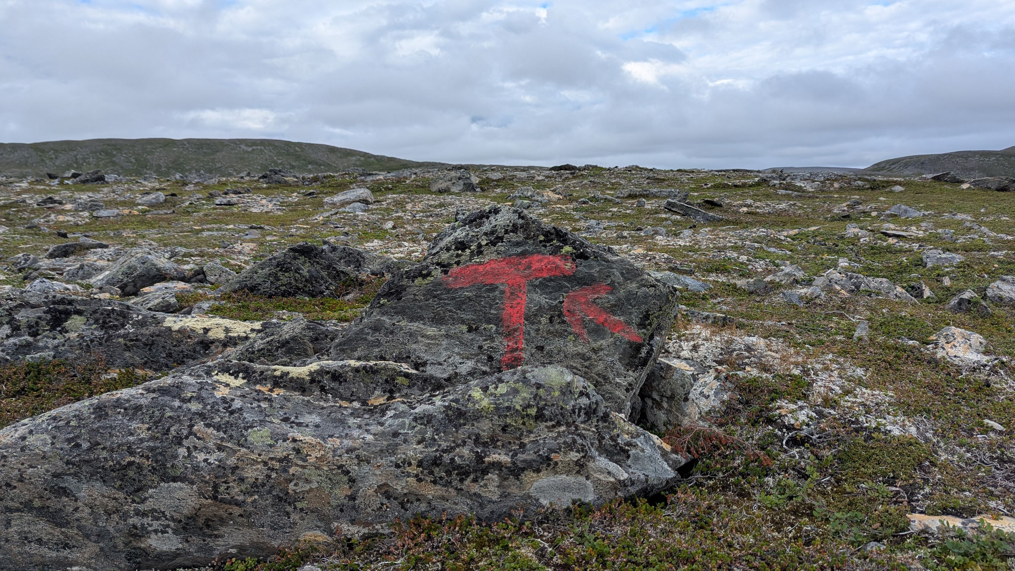
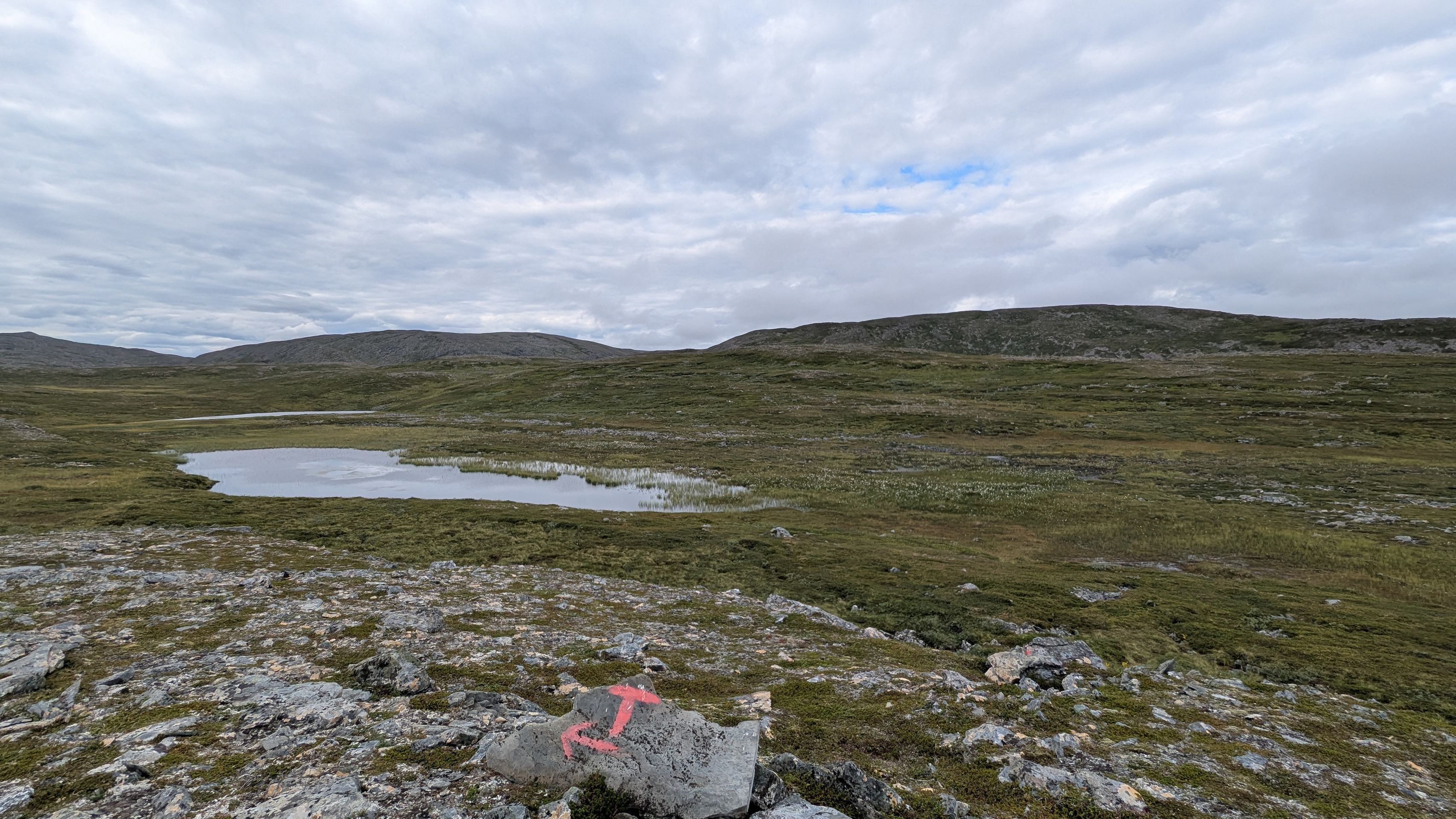
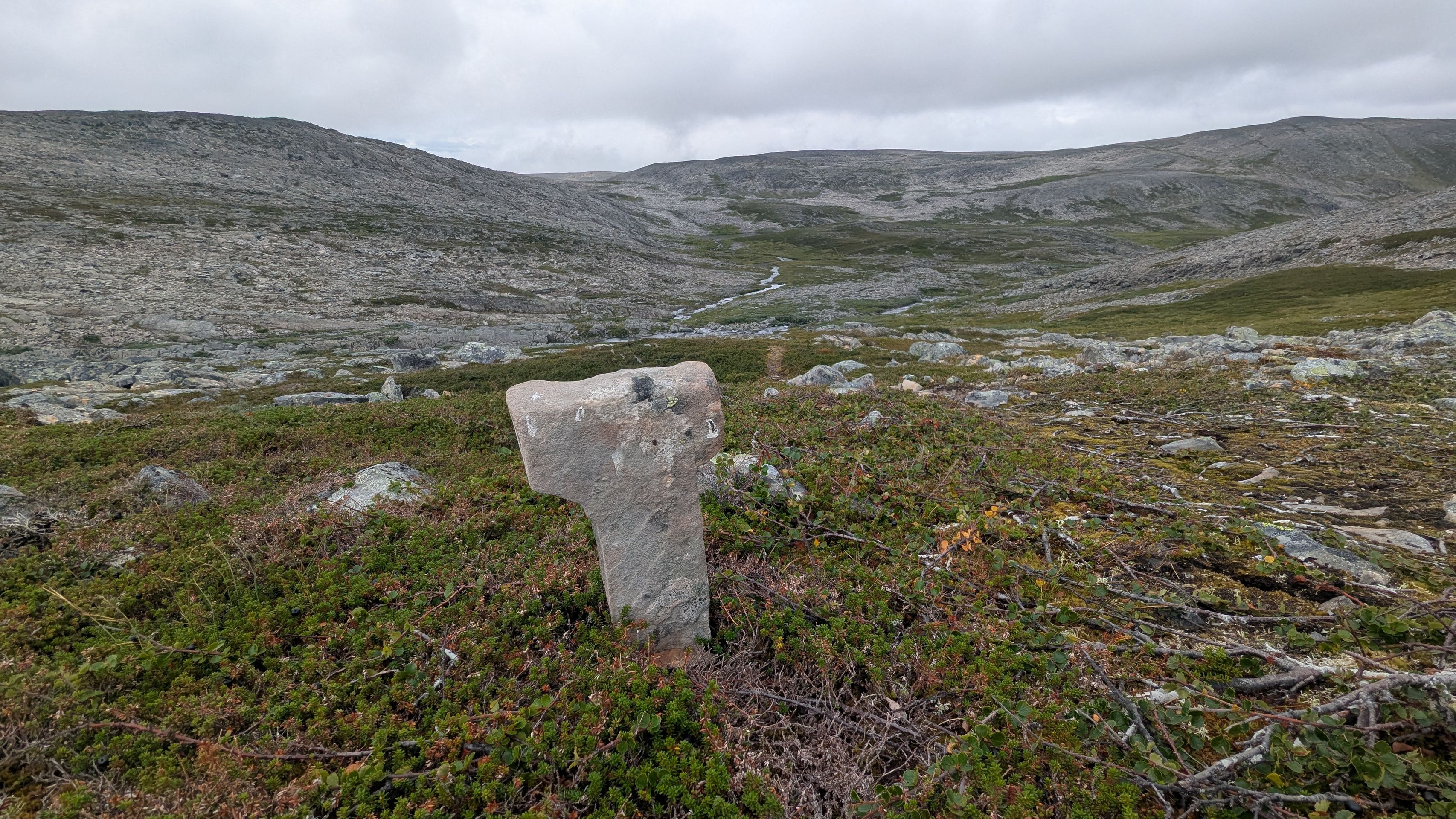
We leave the van at the airport, where the trail begins. The waymarks are red T’s, which you first have to spot. After only the second T, we already take a wrong turn – adding a detour and a steep climb. Well, at least we’re warmed up quickly.
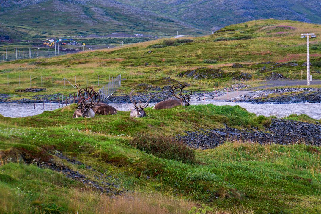
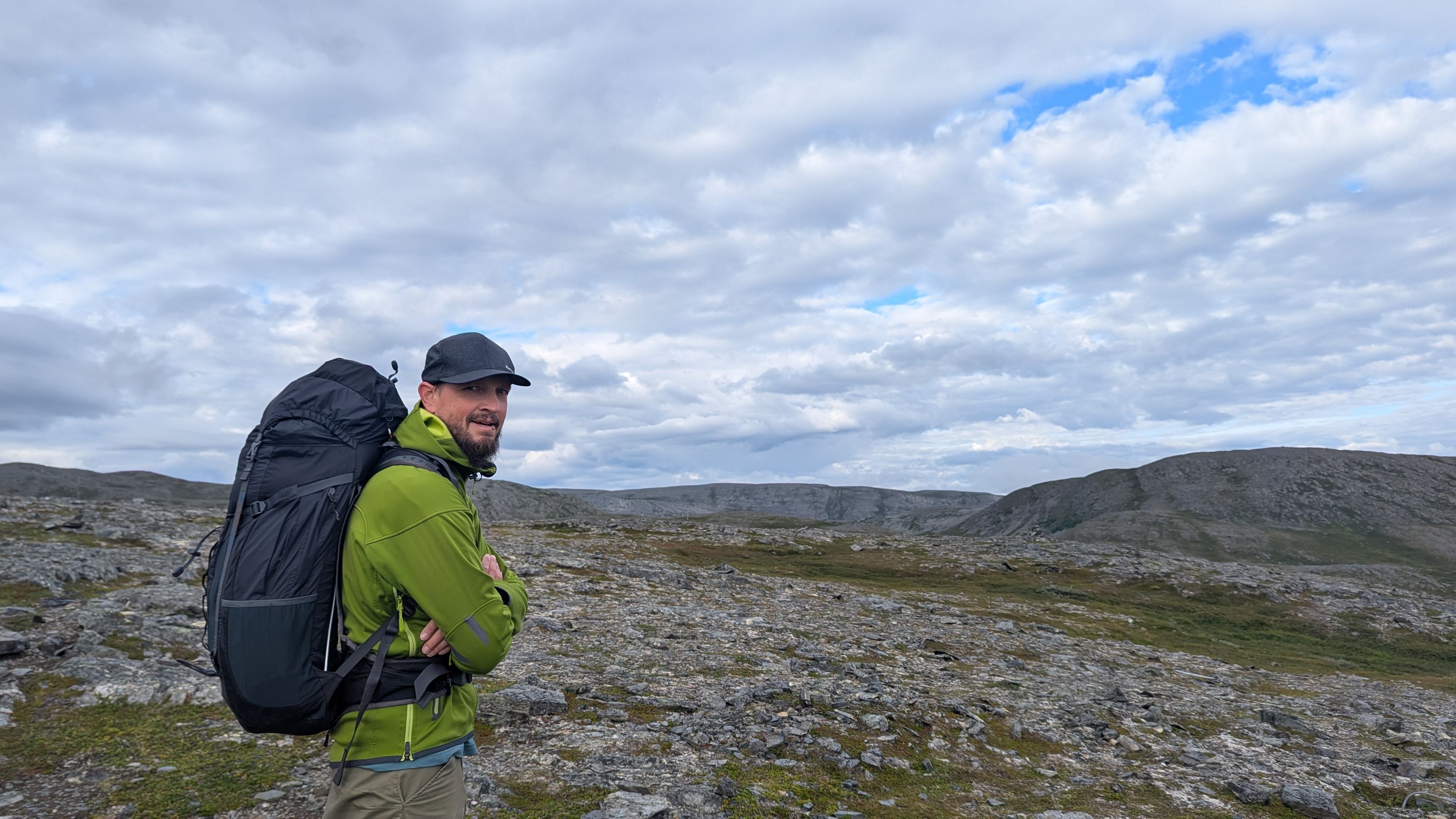
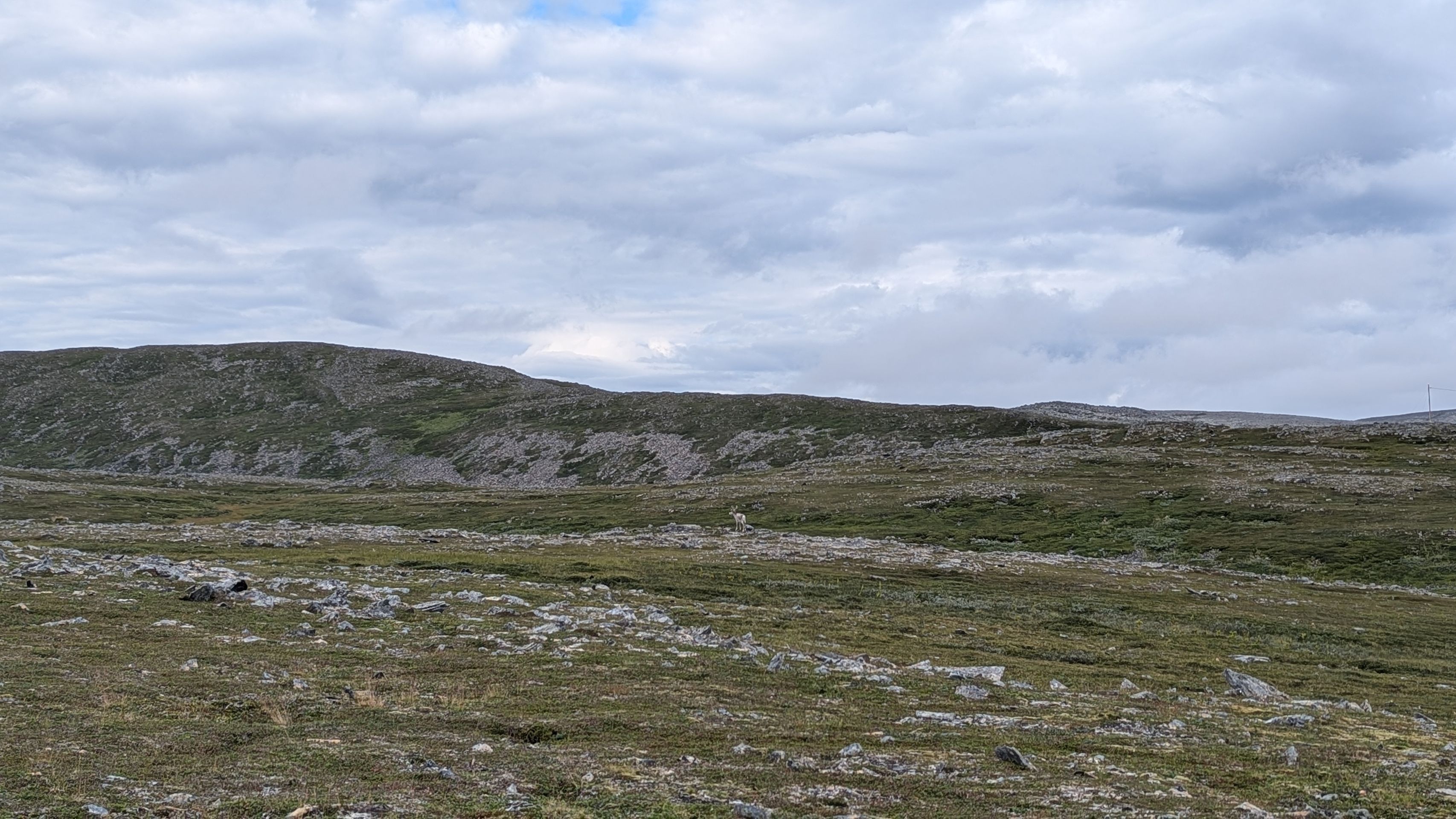
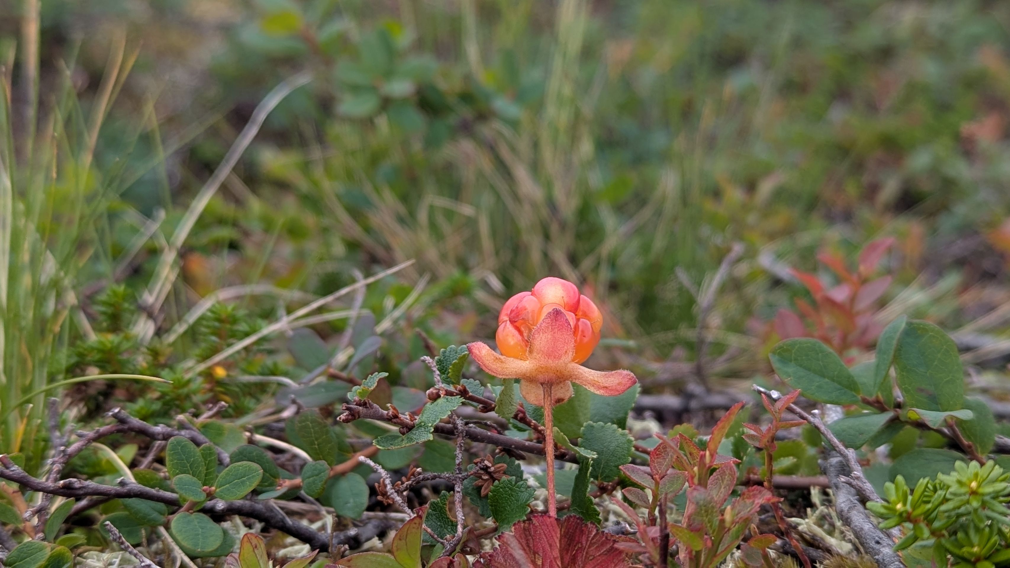
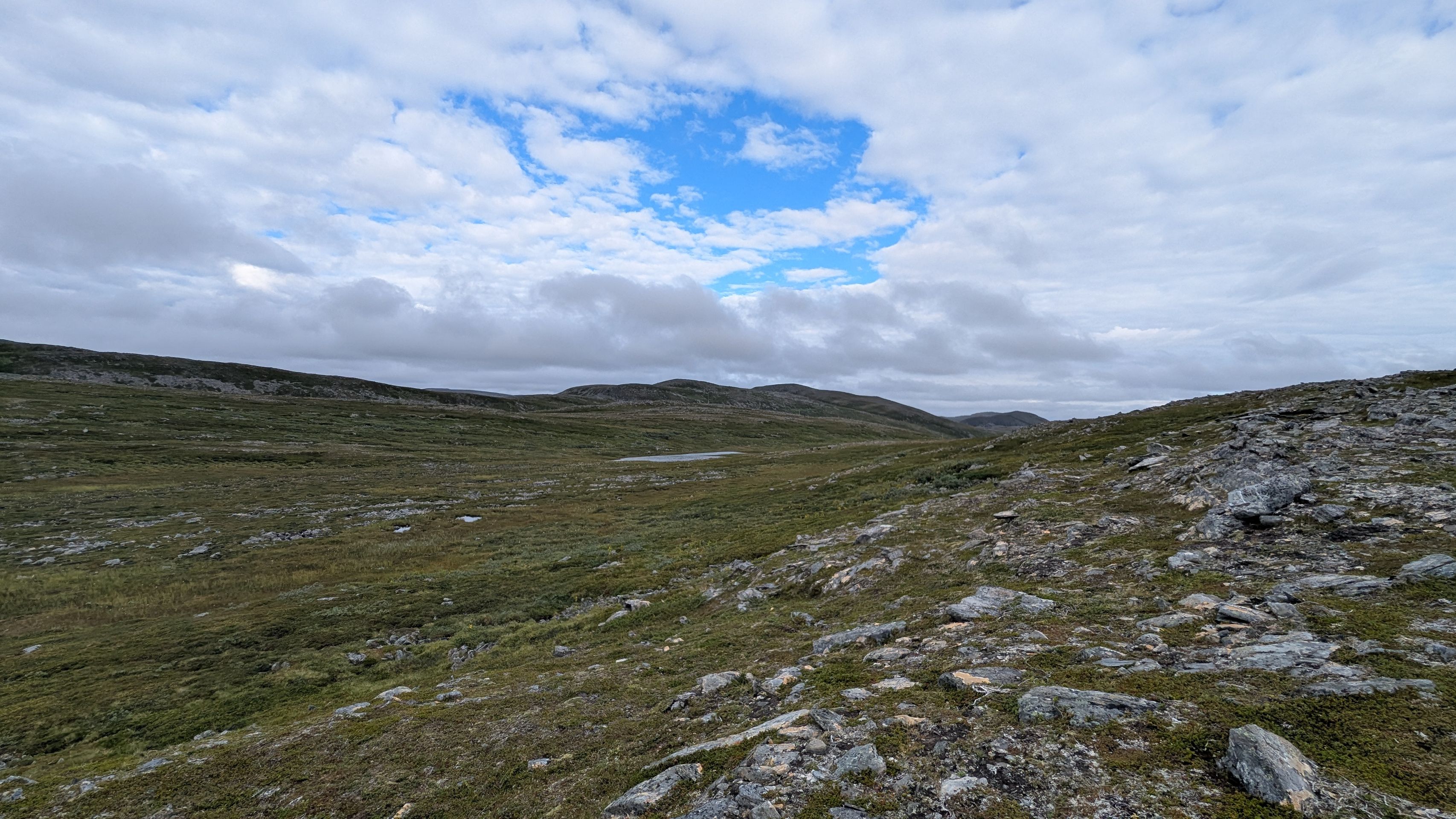
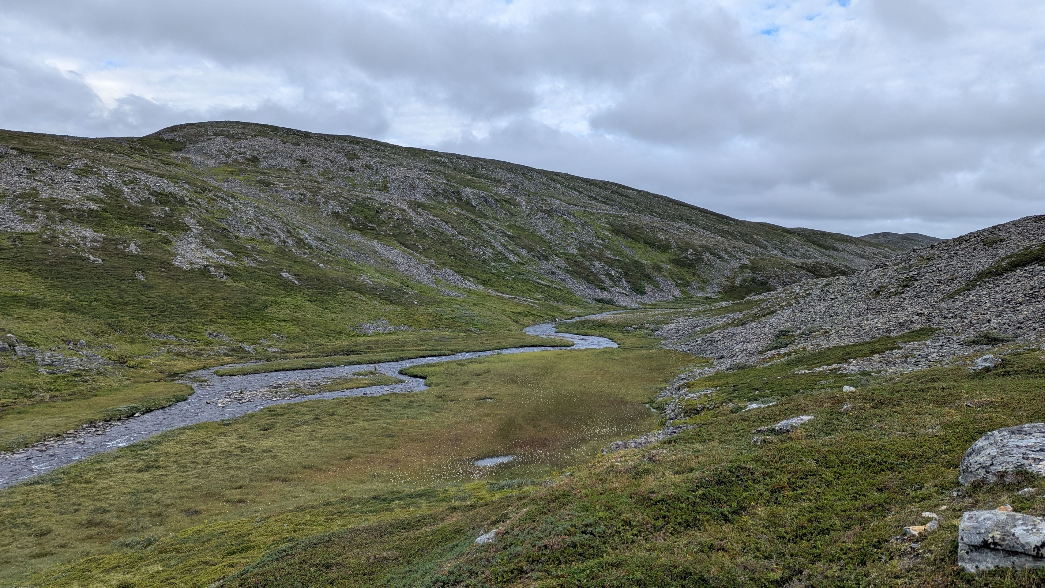
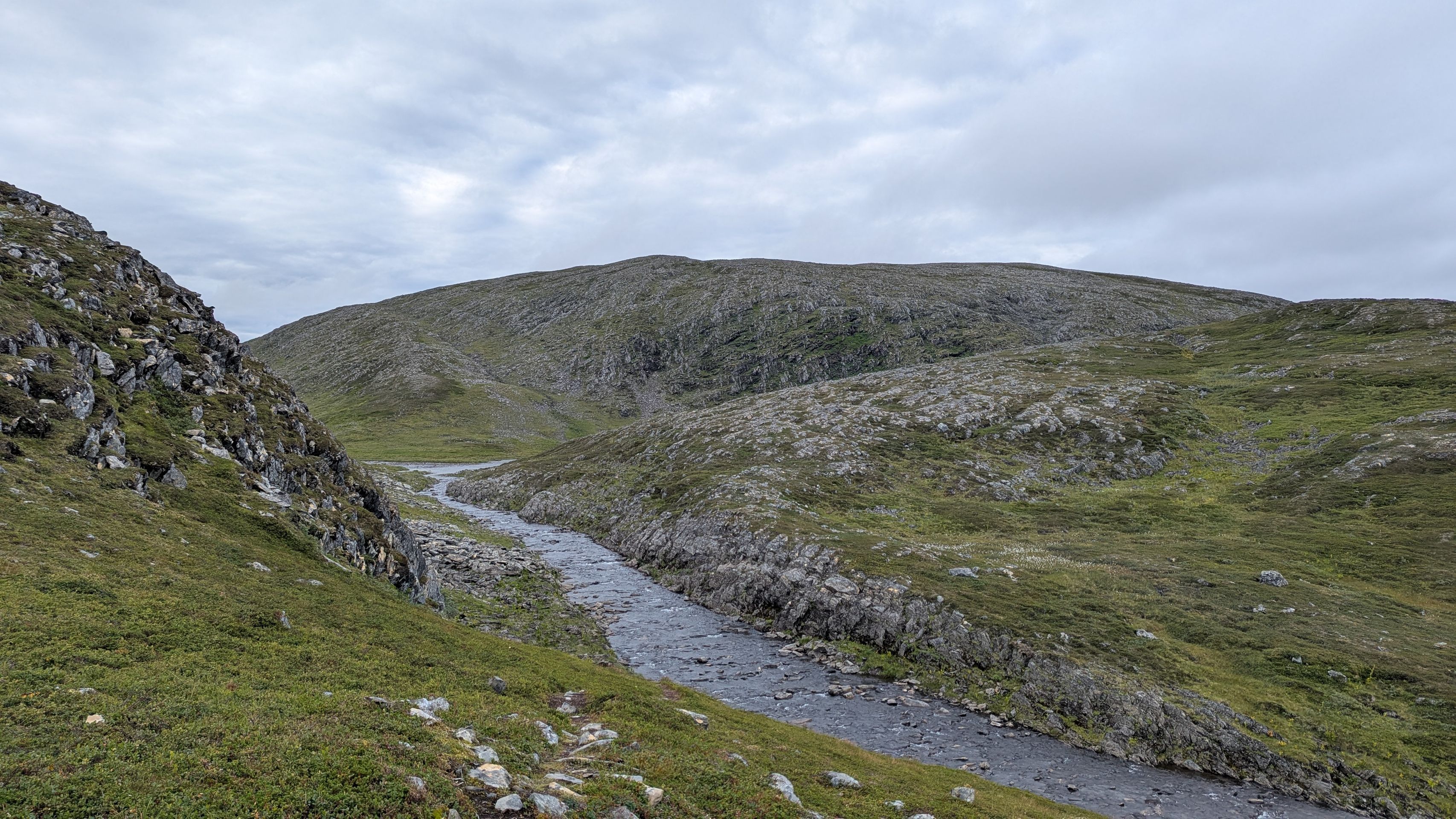
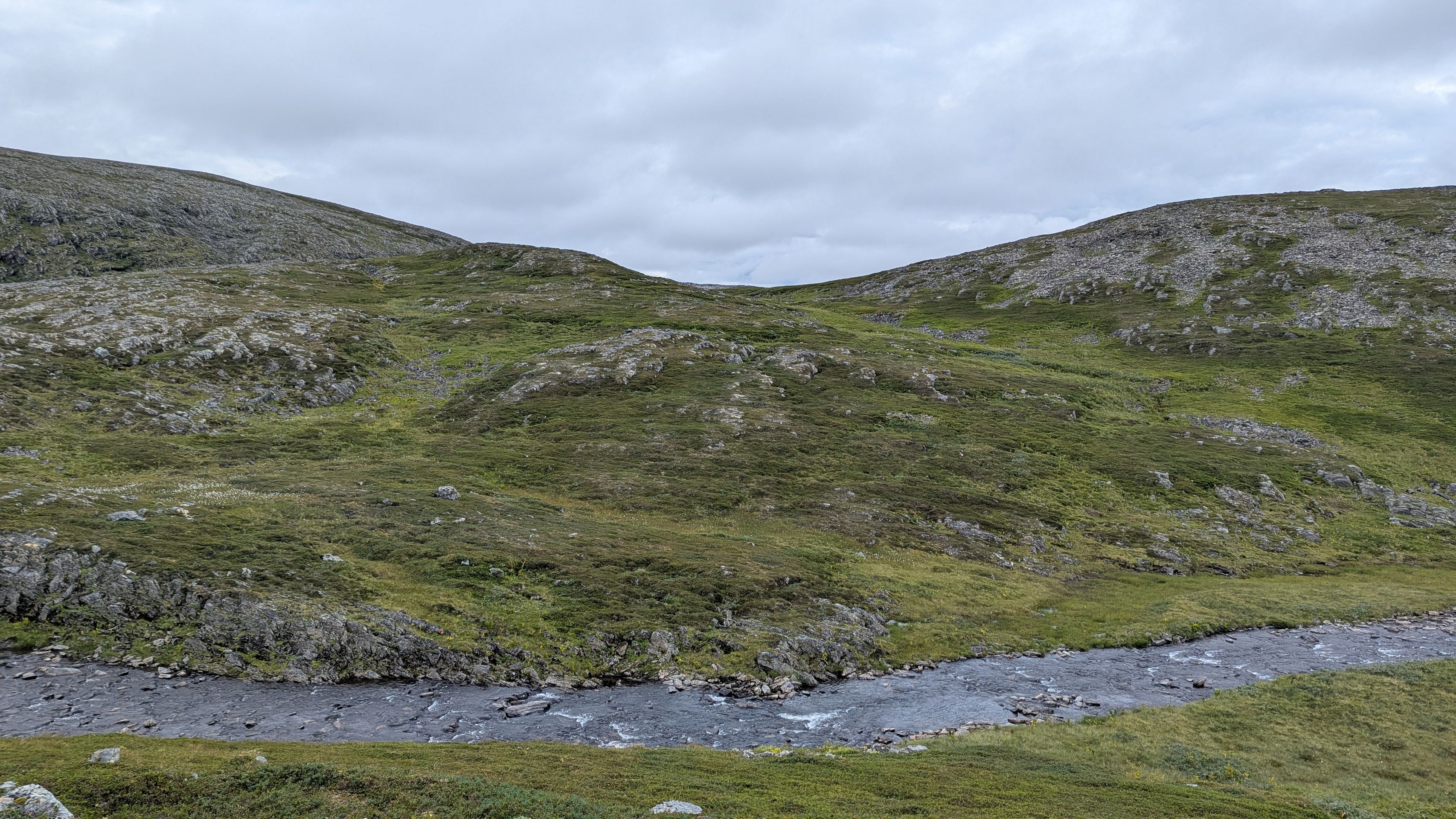
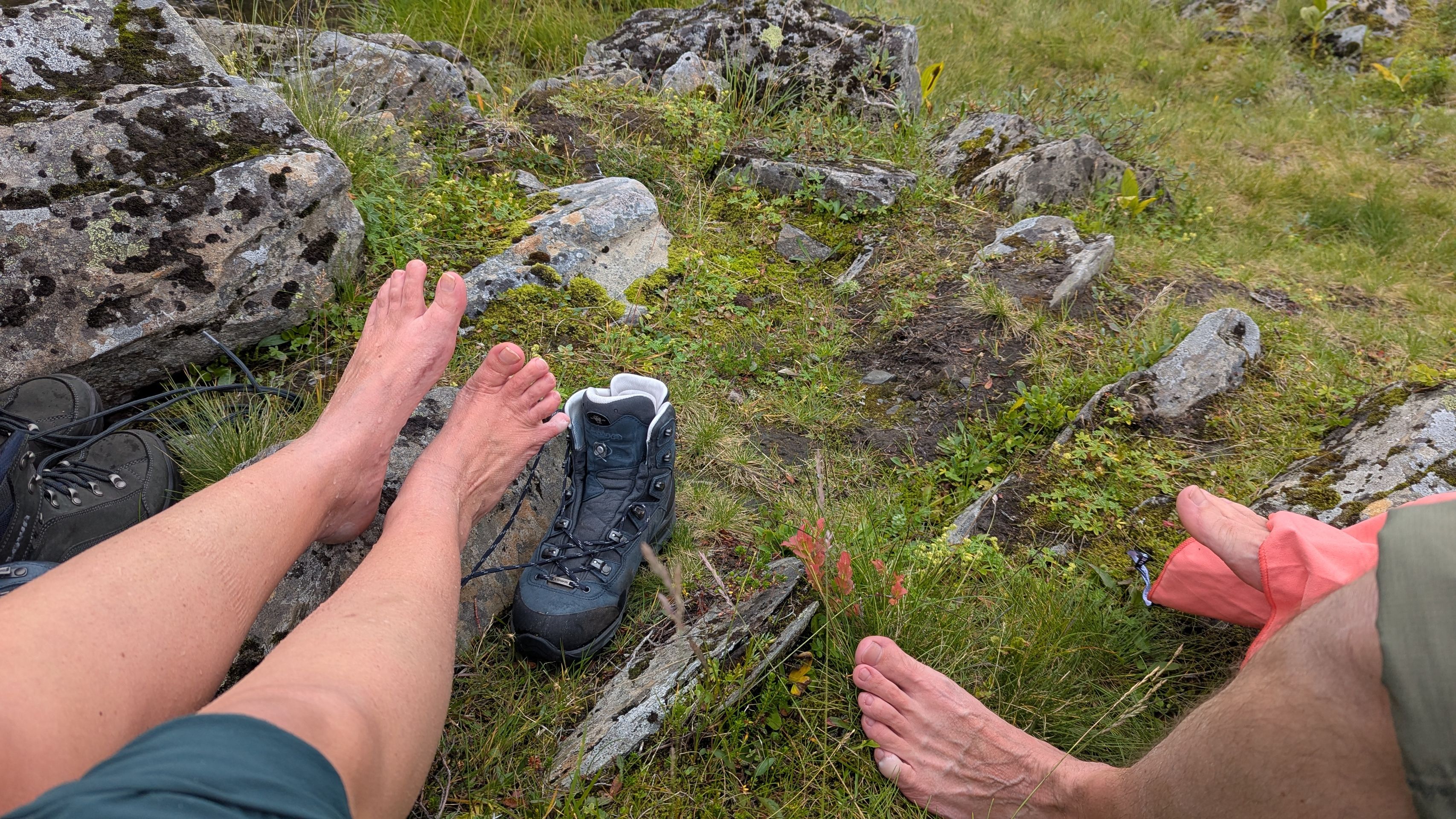
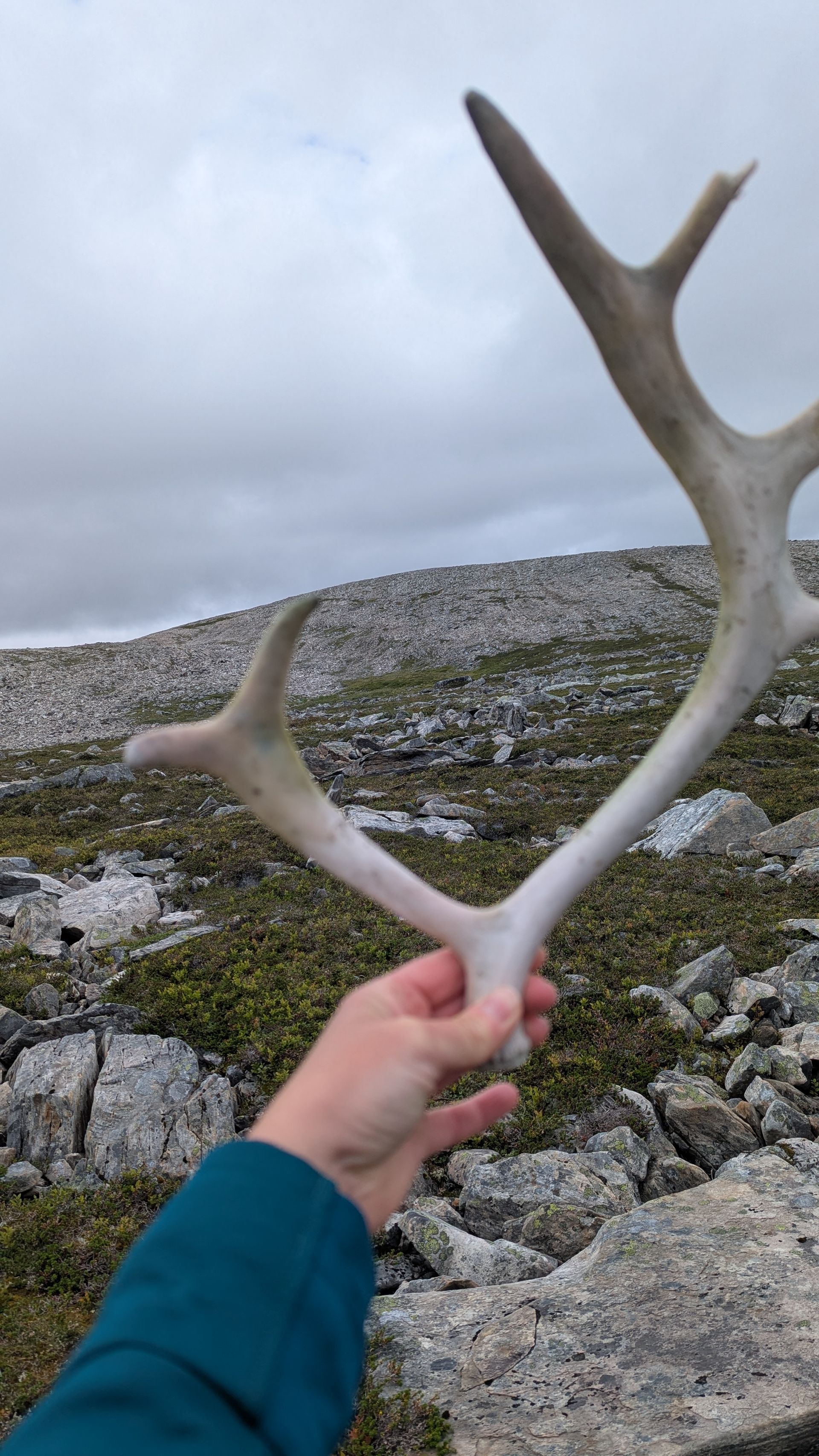
The trail takes us through blueberry-covered valleys, across the first rocky passages, and past reindeer and scolding ducks. Eventually, we reach a river and have no choice but to take off our boots and wade through the icy water. “It’s all part of the adventure,” a dear friend of ours would have said.
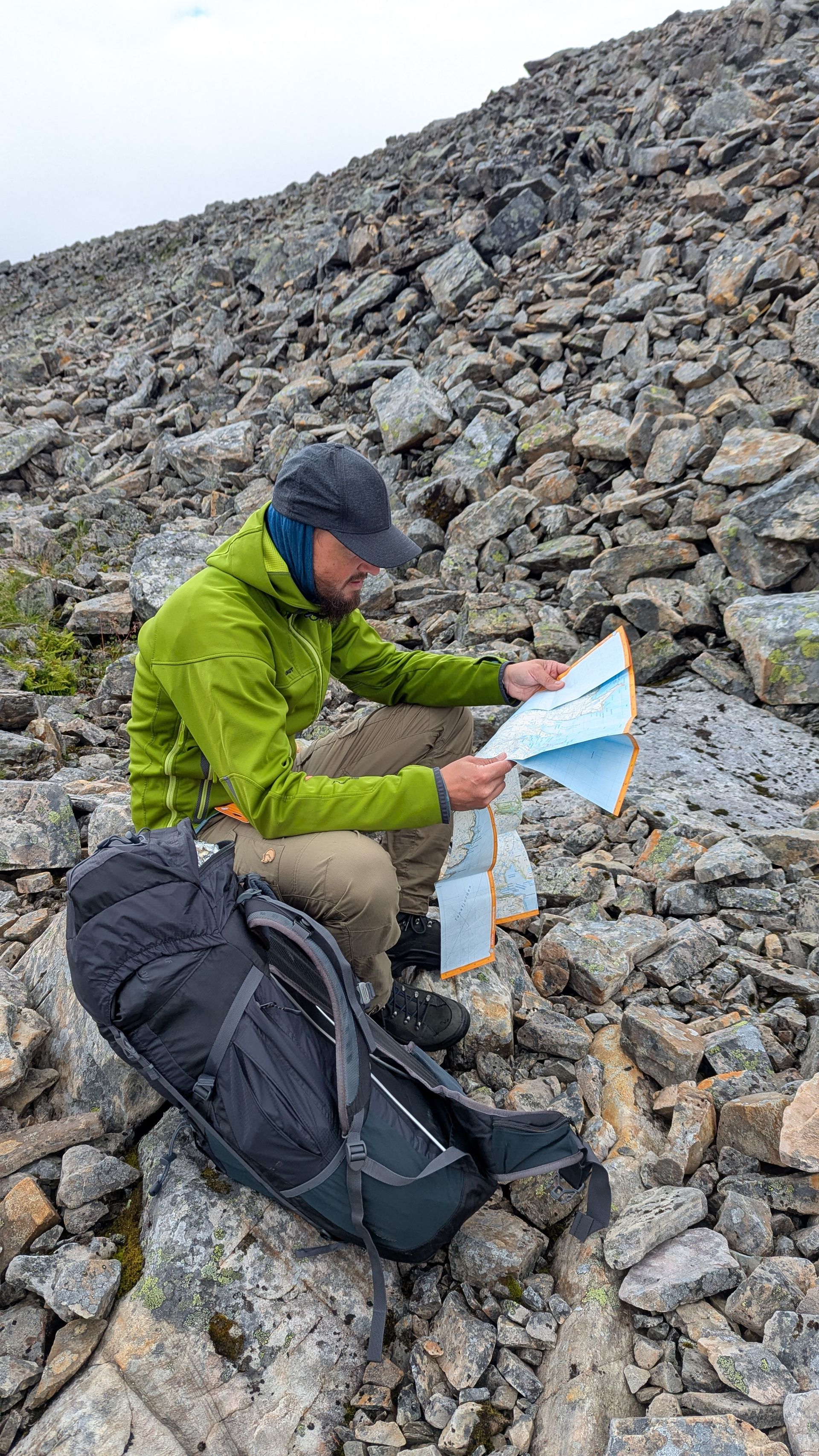
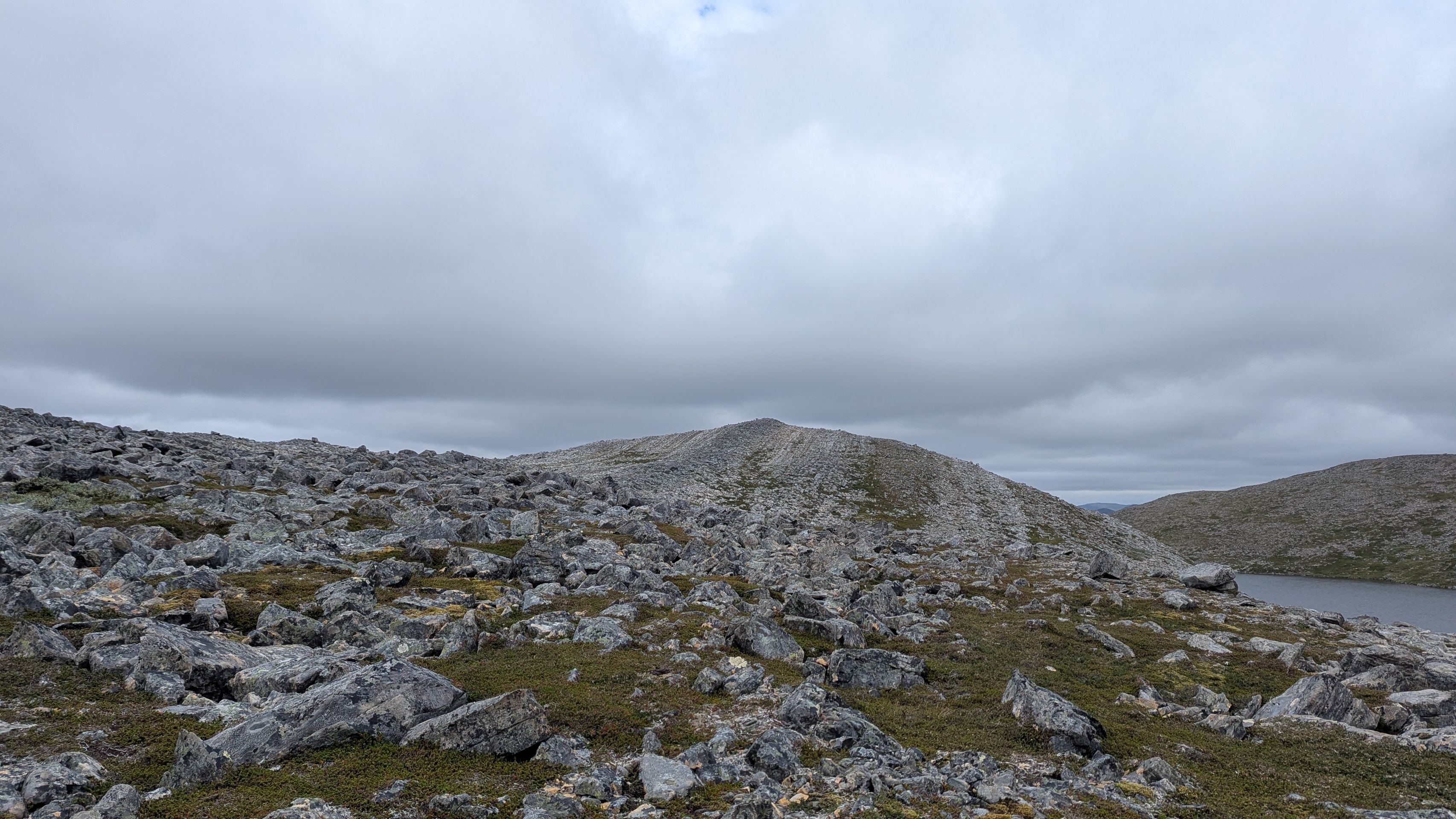
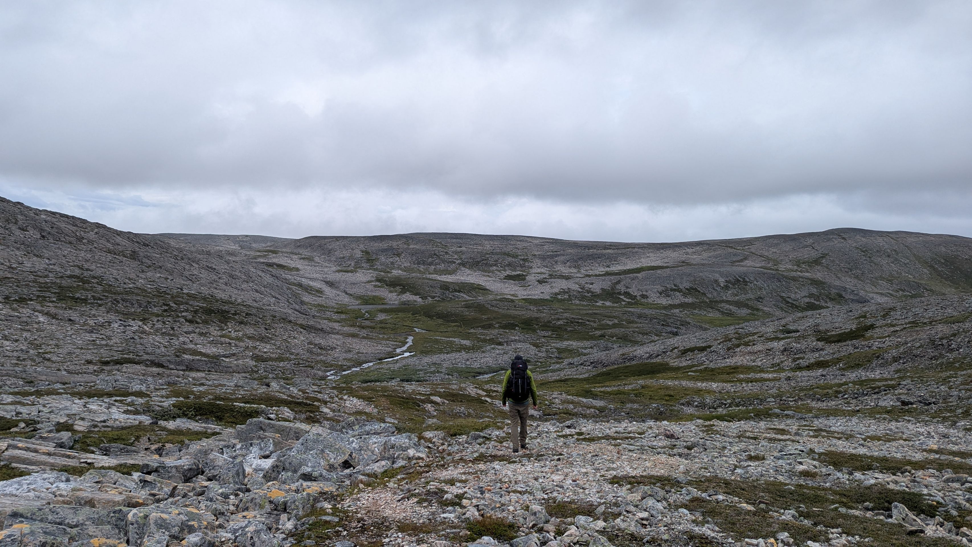
Shoes back on, the trail gets steeper, rockier – and rockier still. Again and again, we cross streams and small rivers. Sometimes we lose sight of the T’s and are grateful we invested in a proper hiking map. Searching for the markers costs us much more time and energy than expected.
Even before the hike, it wasn’t clear if Steffi’s foot would hold up. And eventually, it happens: at the highest point of the route, halfway along, comes the tough decision. In tears, with aching feet and dwindling energy, we turn back. Hard, but the only sensible choice – this way we still have a real chance of reaching the van before dark.
The way back drains the last of our strength, but at least we remember where we crossed the rivers and found the T’s. Near the end, we stumble through a flooded meadow, having once again missed a marker. Whatever – now all that matters is getting back.
Finally, with the last bit of energy, we reach the van, head back to camp, grab dinner, a hot shower – and collapse straight into bed.
From 4 a.m. onwards, the rain drums against the van roof, and we’re relieved about our decision. The rocks on the way to Kinnarodden are often covered with a thin layer of moss, which becomes dangerously slippery when wet. Sleeping in! Everything’s fine!