Day 4
Day 4 (31.05) starts off much too early! During the night, the wind shifts to the north. While it is weak, the swell is coming directly into the supposedly sheltered bay. Sleeping...

Published: 01.06.2026
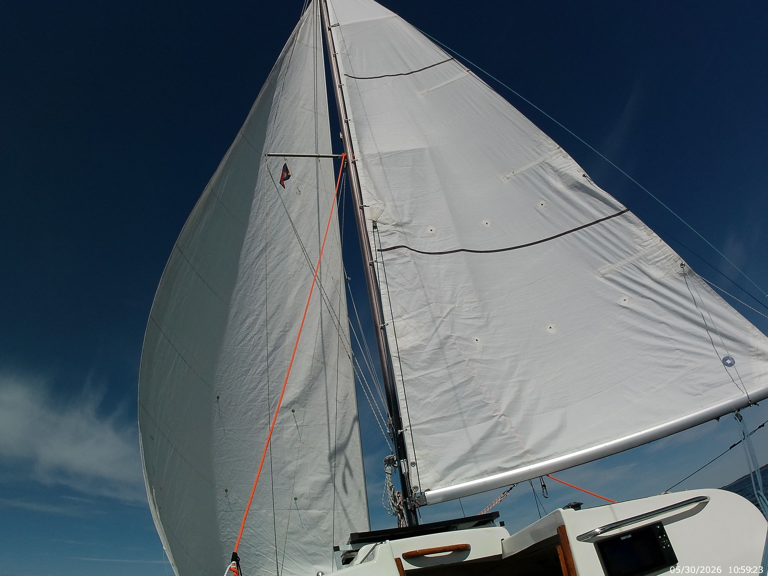
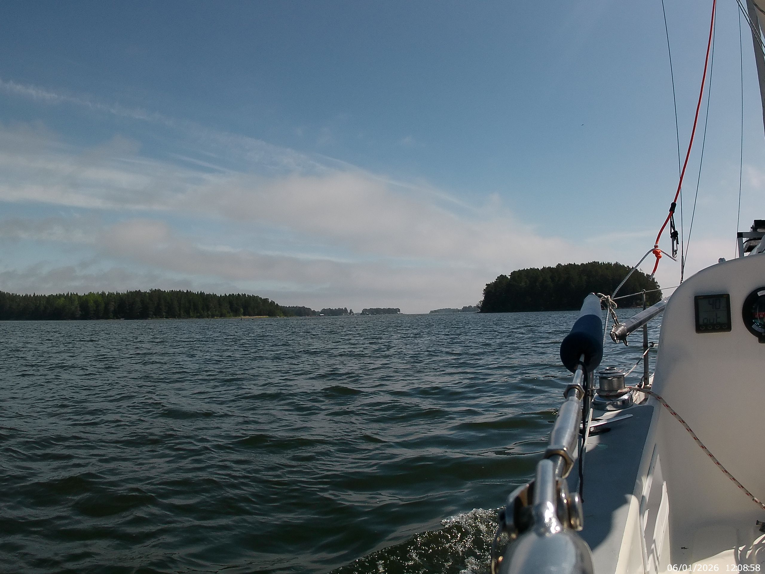
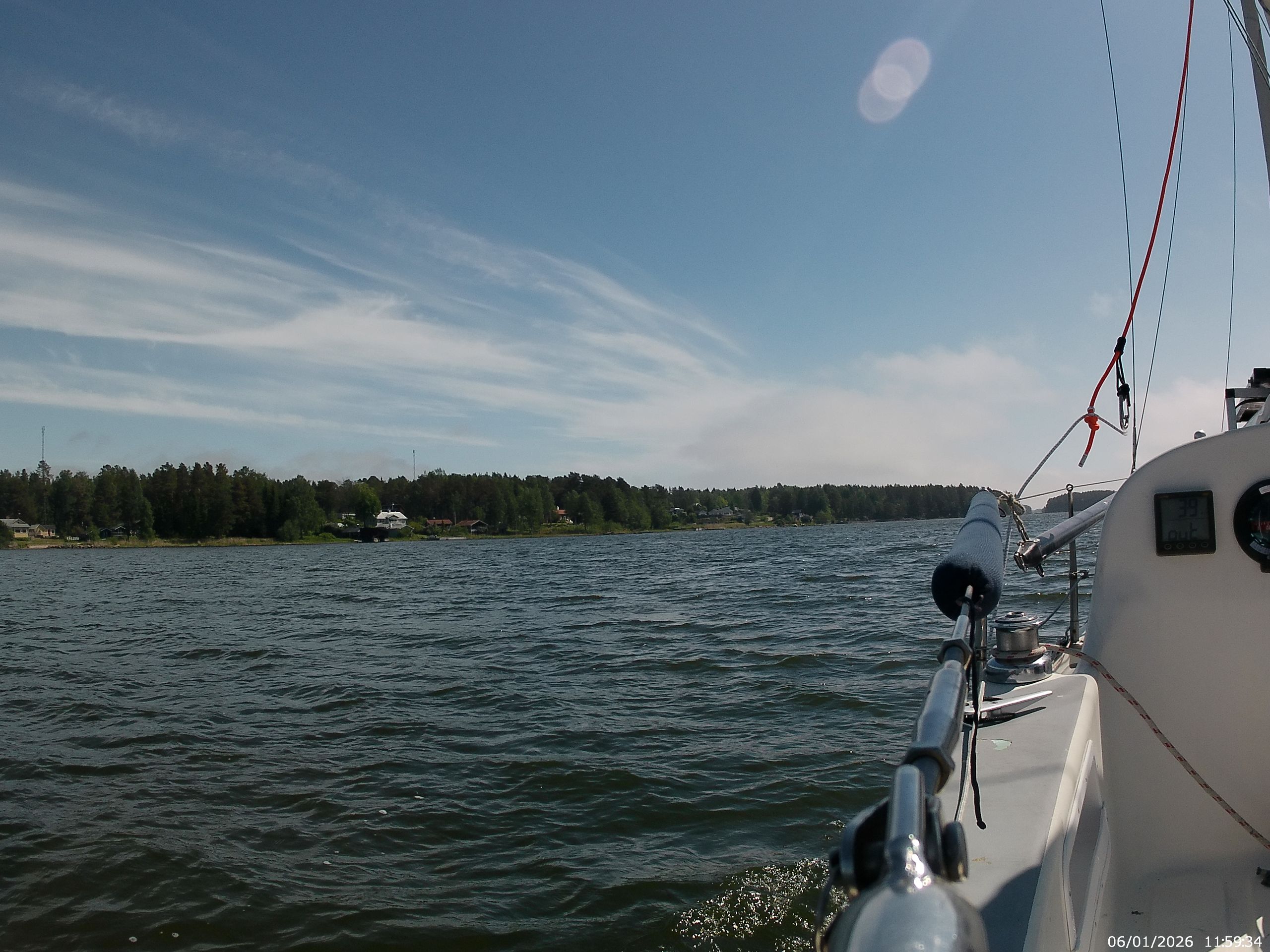
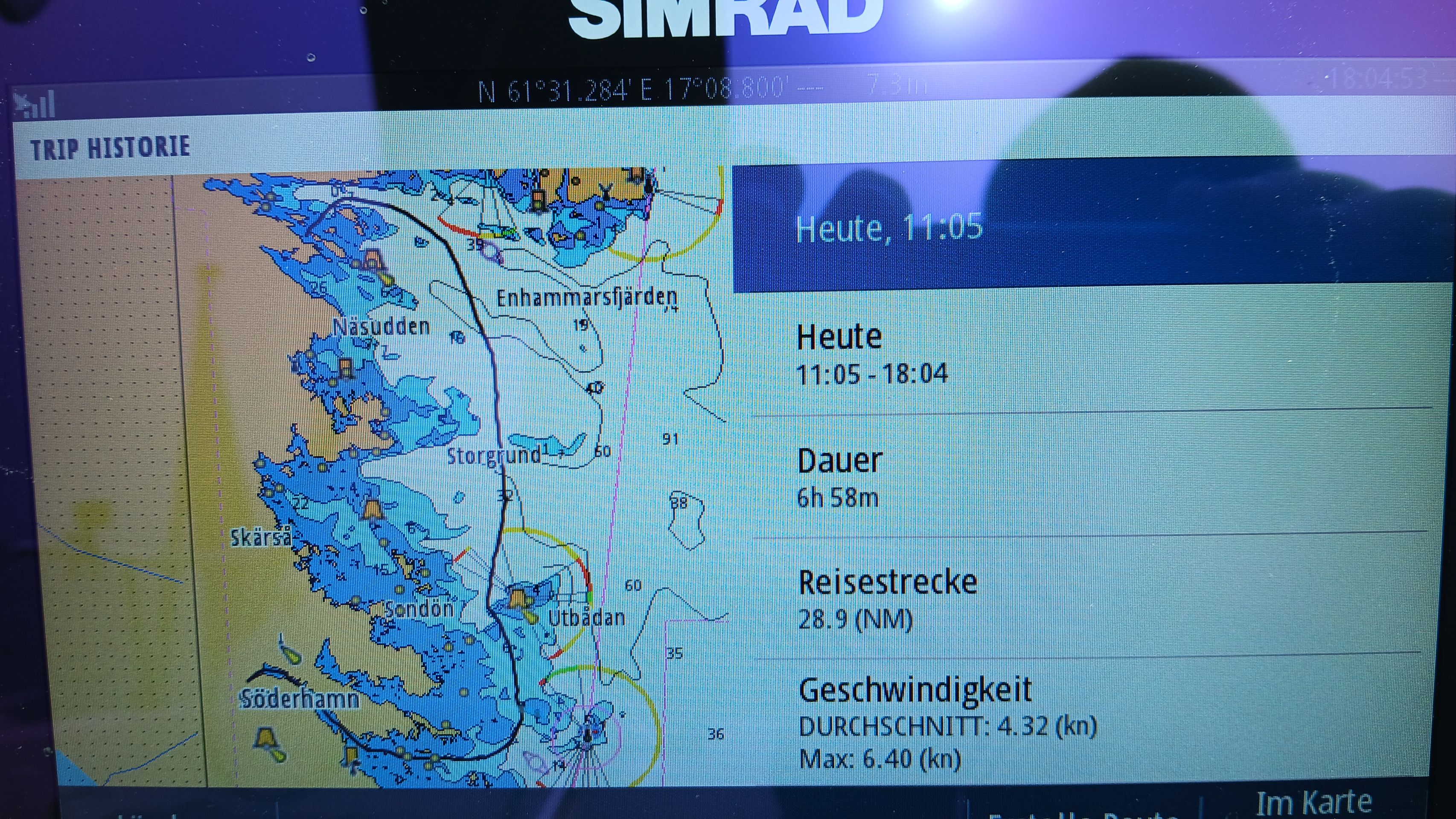
(06.01.) After replenishing the supplies of food, water, and gasoline, we head out under motor against the light easterly wind from Söderhamn into the bay. There, we set sail and steer northwards.
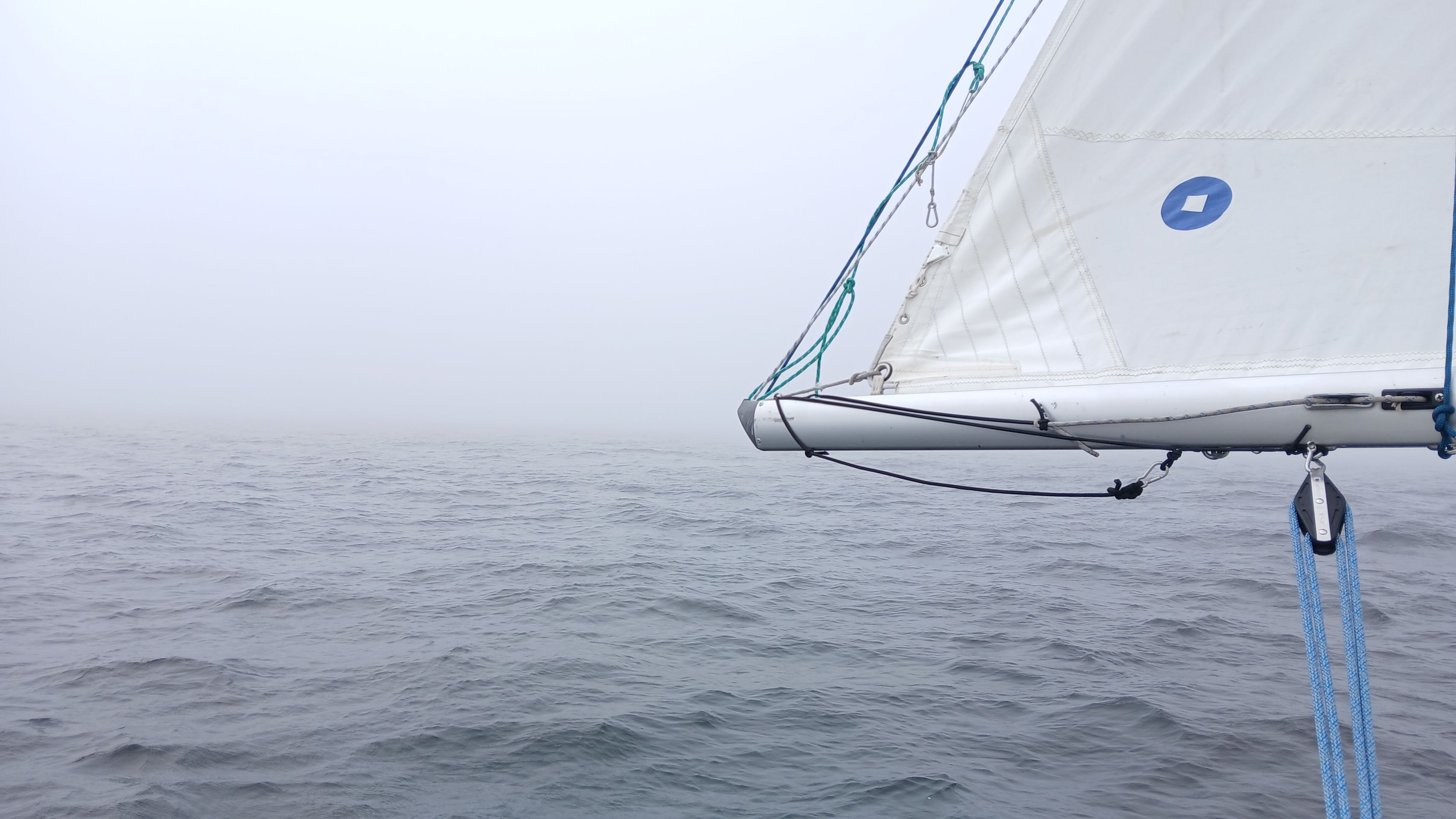
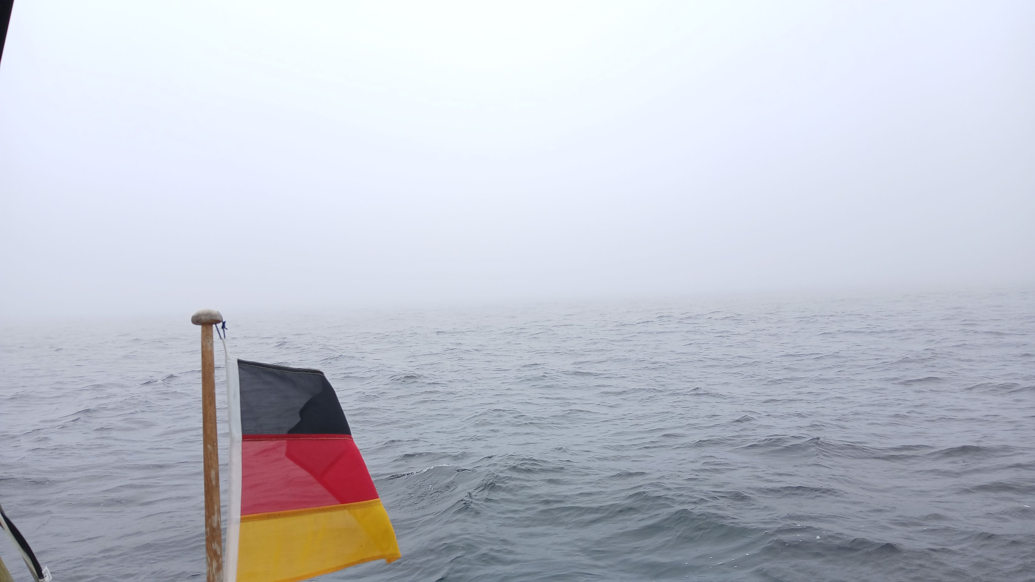
After about 2 hours, fog rolls in again, forcing us to rely entirely on the chart plotter as visibility becomes extremely poor. By the way, this fog is damp and uncomfortably cold.
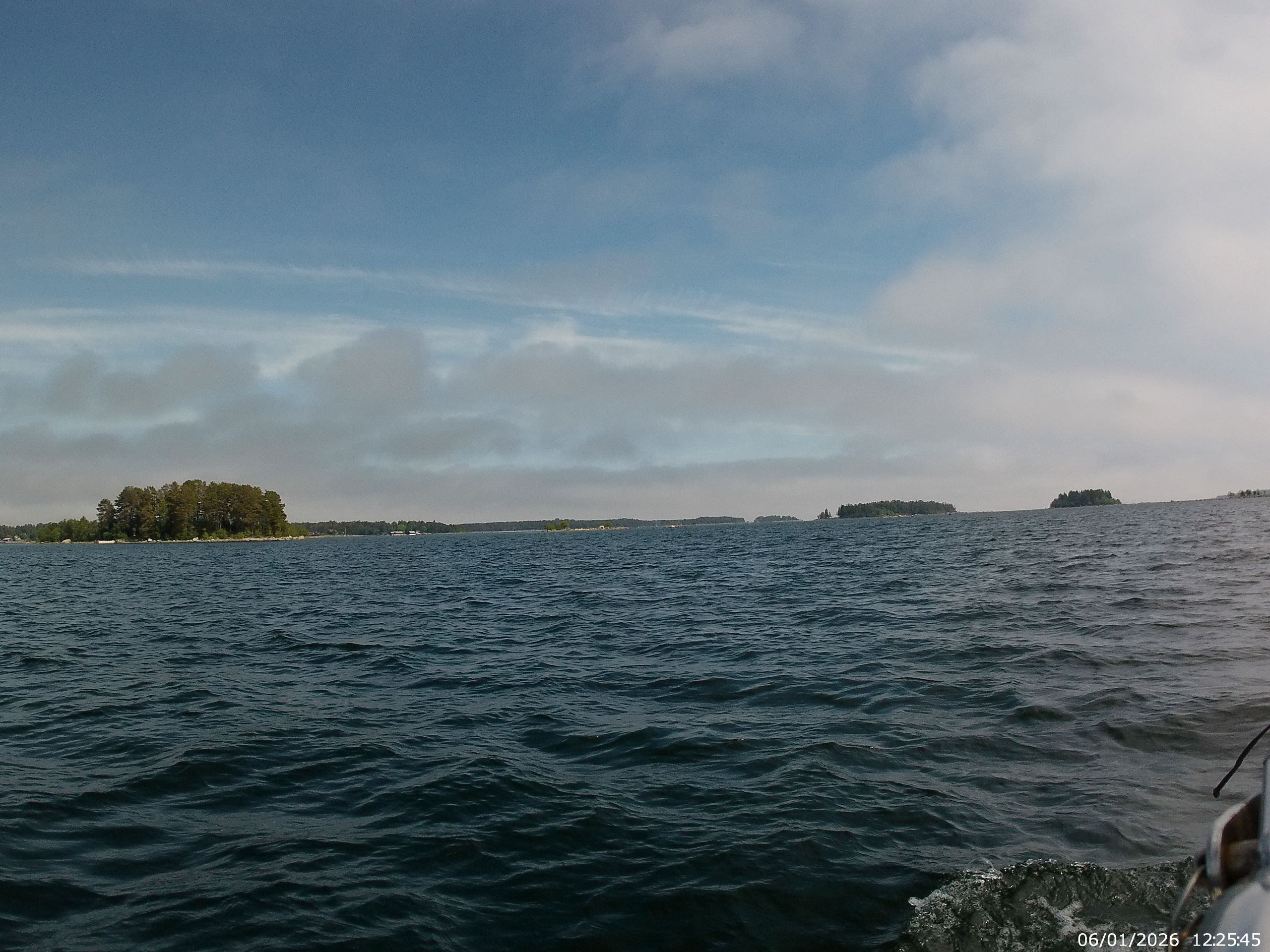
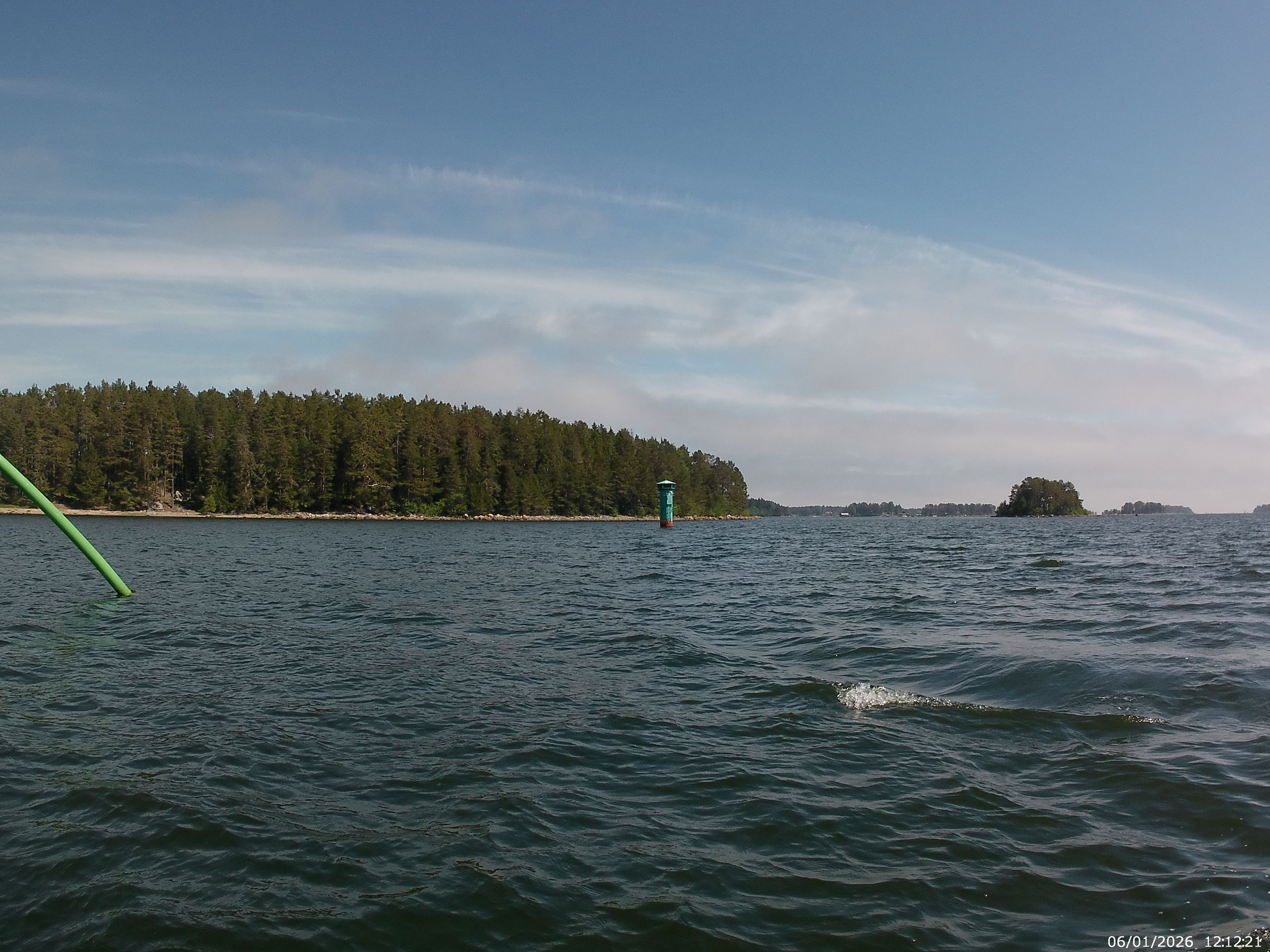
The entrance into the archipelago to find a suitable anchorage is also done solely based on the readings on the chart plotter.
(Here, your position is displayed on an electronic nautical chart.) When the chart is accurate and the GPS signal is strong, this display is also precise. However, when the possibility of visually verifying the displayed position is lacking, it can get a bit unnerving.
But we are lucky, and the chart and GPS signal work perfectly, bringing us safely to our anchorage between Rävelsön and Enhamna.
As we enter the bay, the fog begins to lift; one hour after anchoring, the fog has completely cleared.