
24a Walk to Donaueschingen
Route: 0 kilometers, cumulative: 2,026 kilometers | Elevation gain: 0 m, cumulative elevation gain: 8,139 m, distance from home: 92 kilometers (as the crow flies) Today at...

Published: 01.06.2026
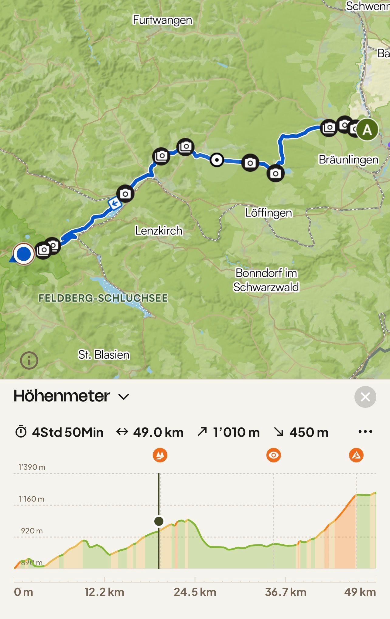
Route: 49 kilometers, cumulative: 2,075 kilometers | Elevation gain: 1,010 meters, cumulative elevation gain: 9,149 meters, distance from home: 75 kilometers (as the crow flies)
Should I really split a tour of less than 50 kilometers into two stages? Sure, there were over a thousand meters of elevation gain, which is equivalent to what usually takes me several days. On the other hand, I have often completed stages with significantly greater climbs. So, I just started riding and arrived at my final destination after just three hours, not counting the journey home.
Consequently, despite a few rest days, I arrived at the hotel three days early, where I will meet my club friends from Pro Wolermoos on Thursday. I want to use this time to get to know the area a bit—without a bike, but using public transport, which I can use for free with the guest card.
In the last hotel, breakfast wasn't served until 7:30 AM. I used the time before that to pack and put my e-bike in front of the hotel. This way, I was ready for departure quickly after breakfast.
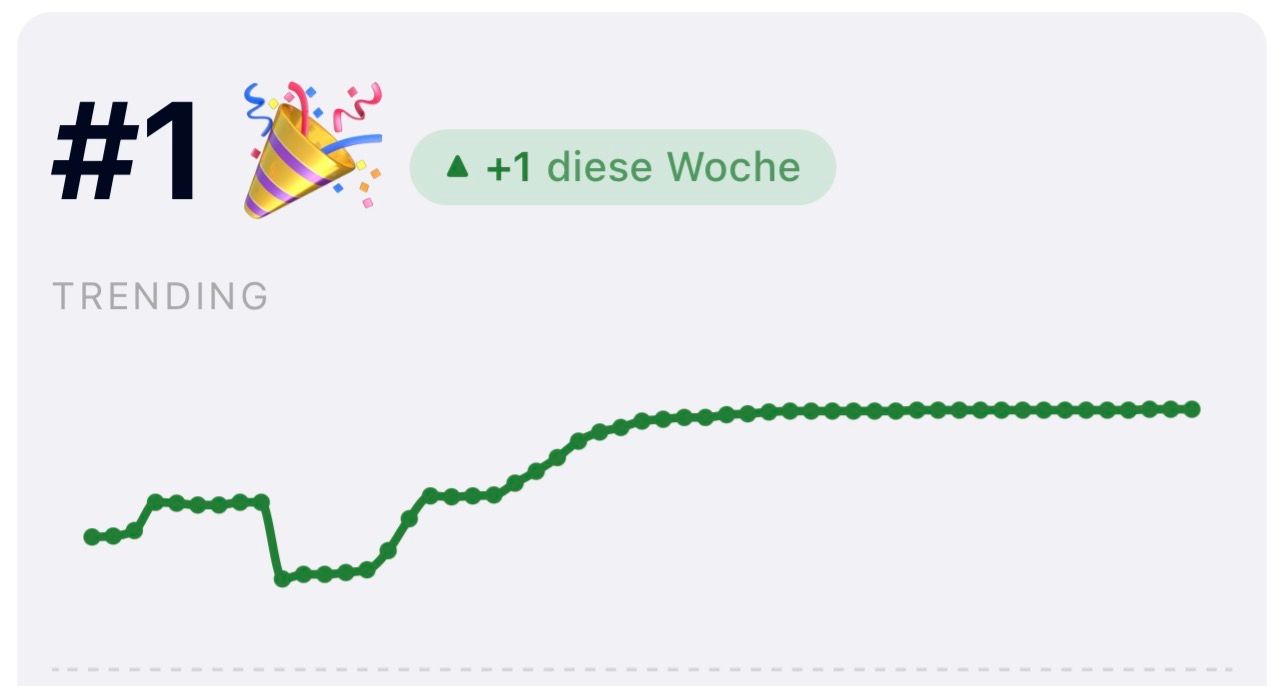
The first incline started right after the hotel. That's when I noticed for the first time that Komoot now also displays the gradients. I don't know if this feature was launched exactly on June 1st or if I only noticed it today. In any case, I think it's a great enhancement.
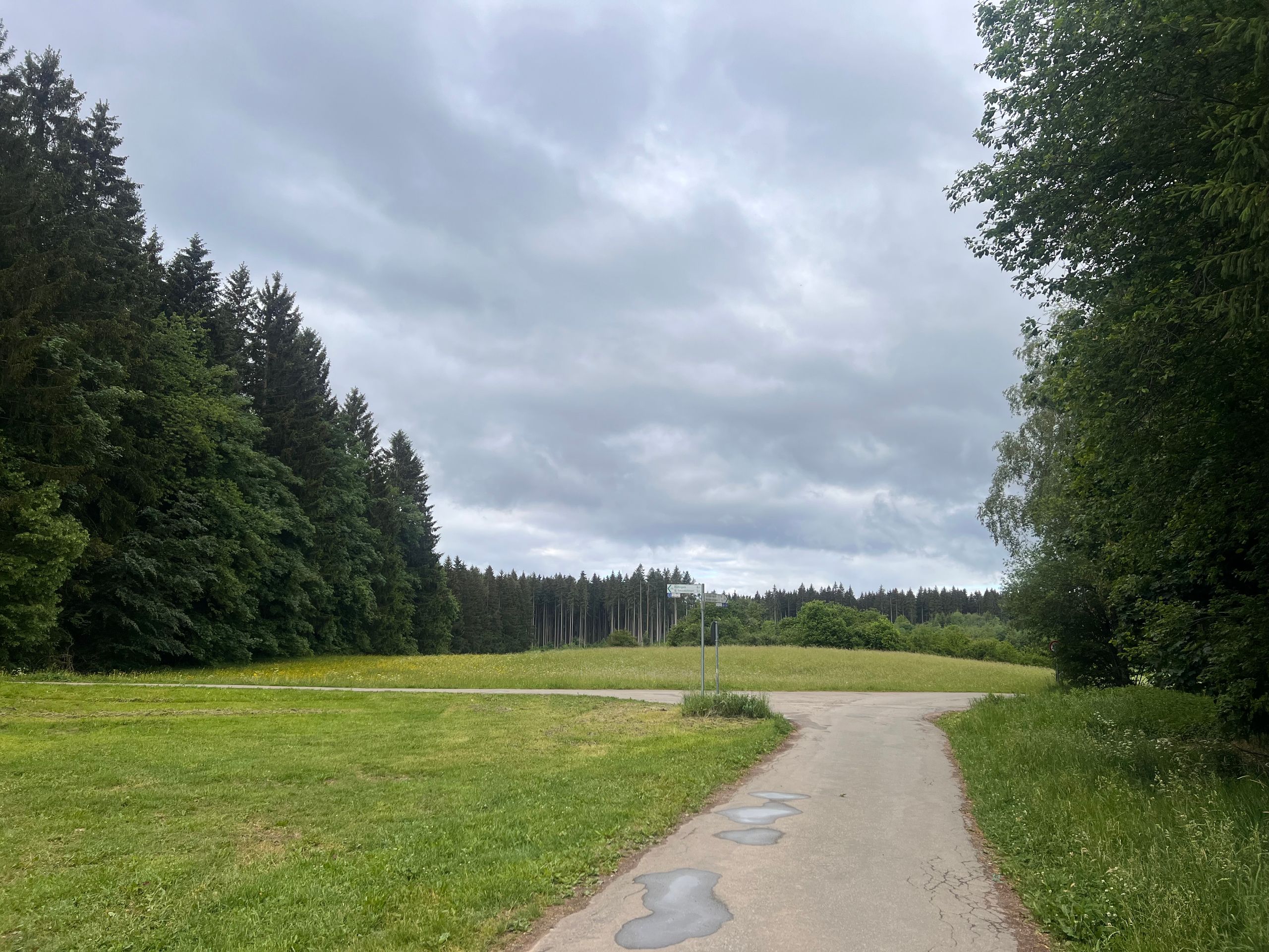
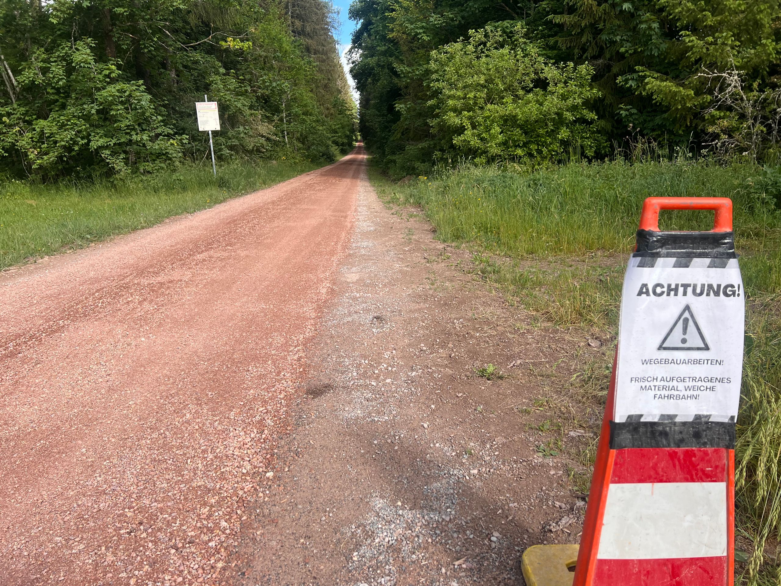
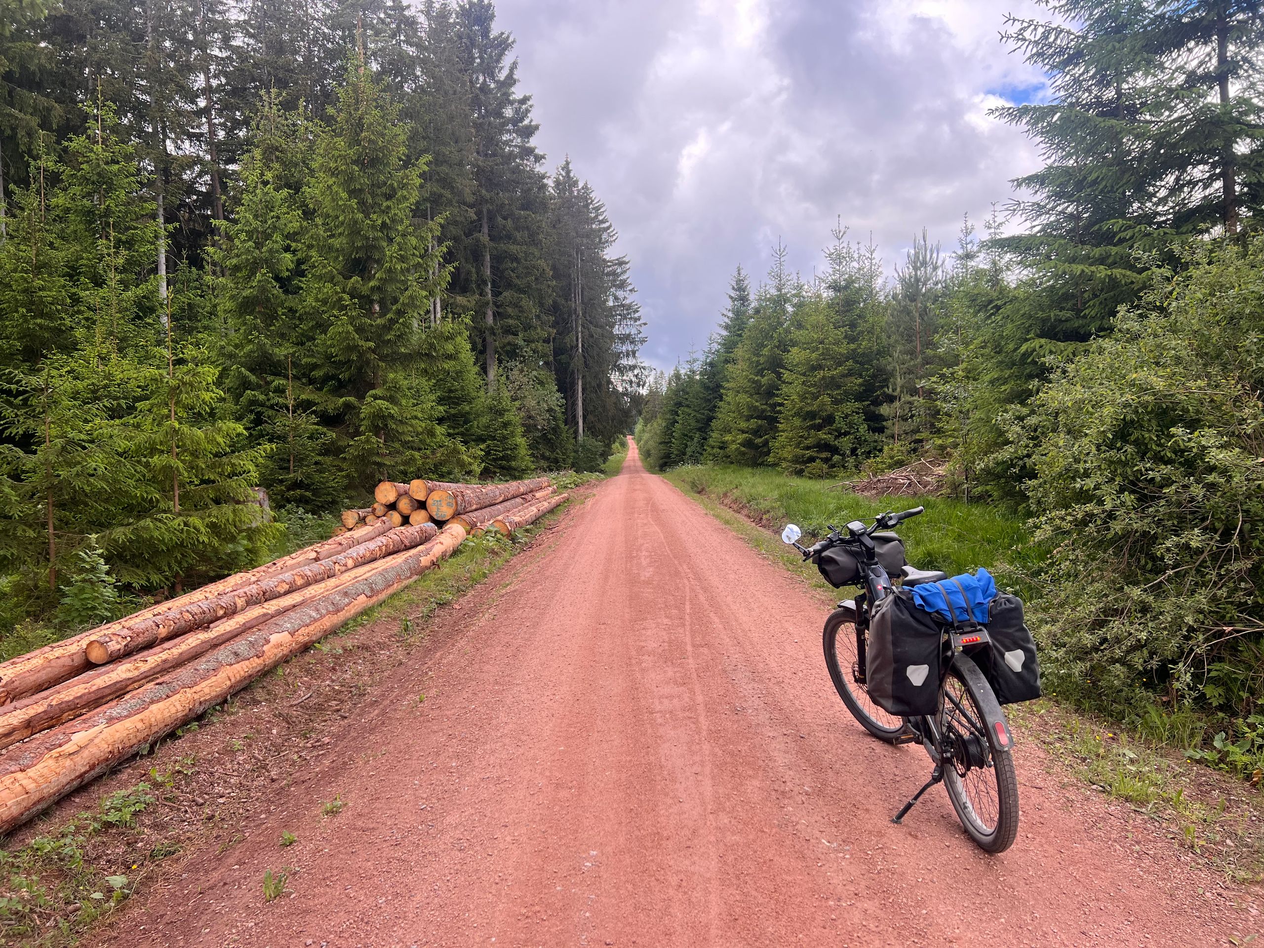
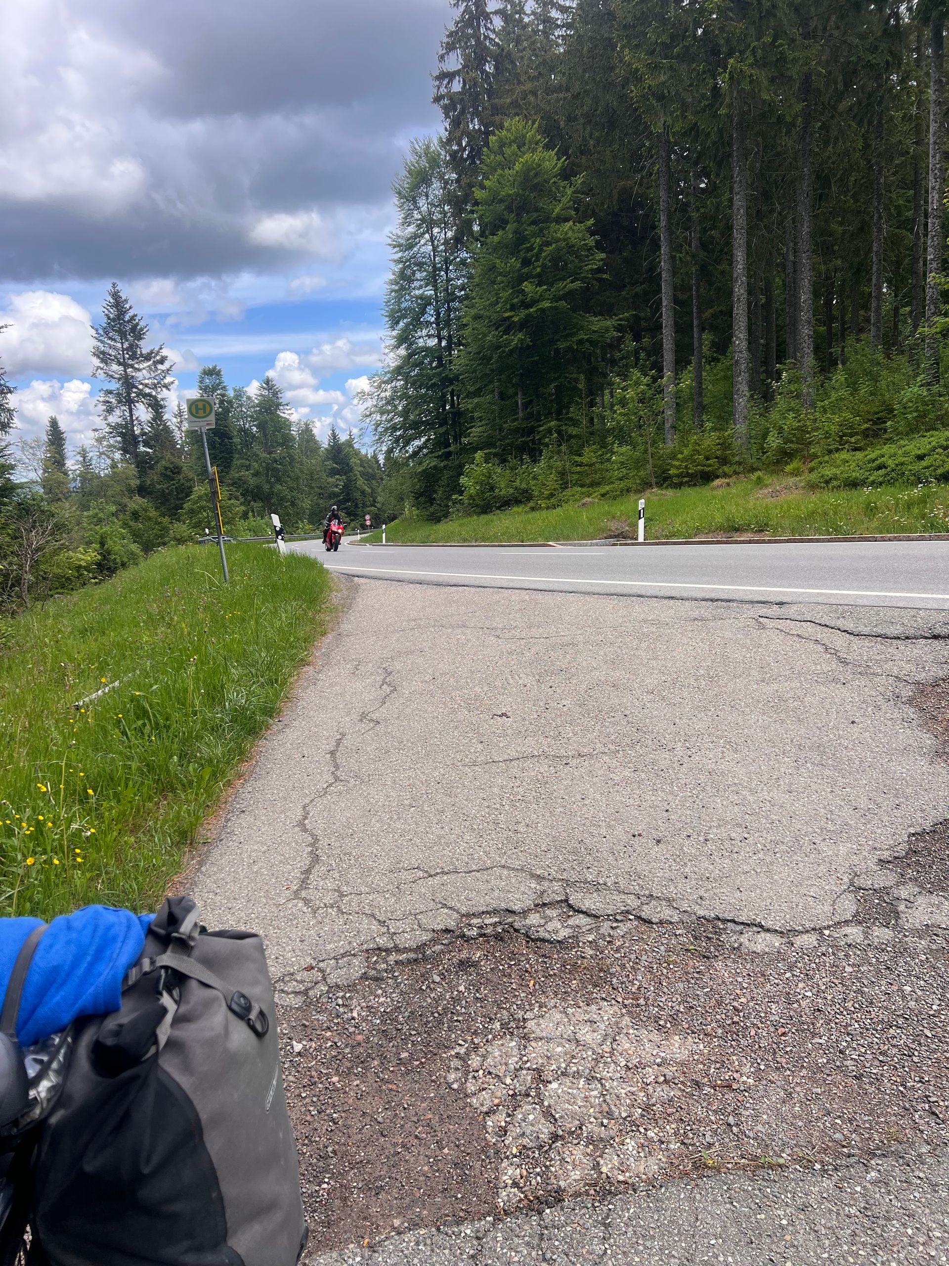
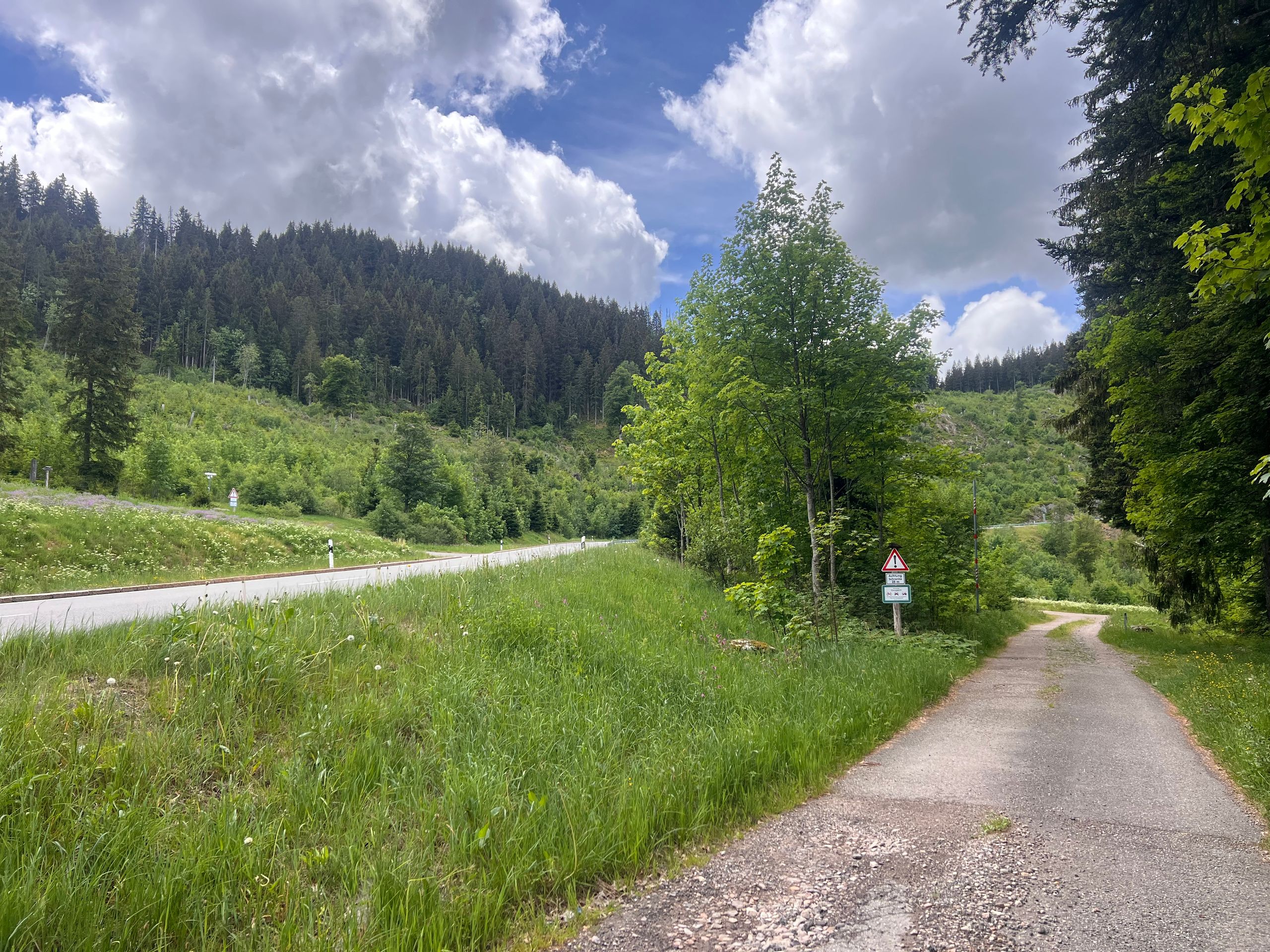
At the point marked as the watershed between the Rhine and the Danube, a very long path began through a forest which, typical of the Black Forest, consists only of fir trees. I actually love such secluded paths; they are quiet and free of traffic. Unfortunately, this forest path was recently covered with new gravel, making the ground very soft and difficult to ride on. Komoot told me the path was over six kilometers long. When someone called me, I took the opportunity to get off and talk on the phone while walking. And lo and behold, suddenly the ground became firm and riding went well again.
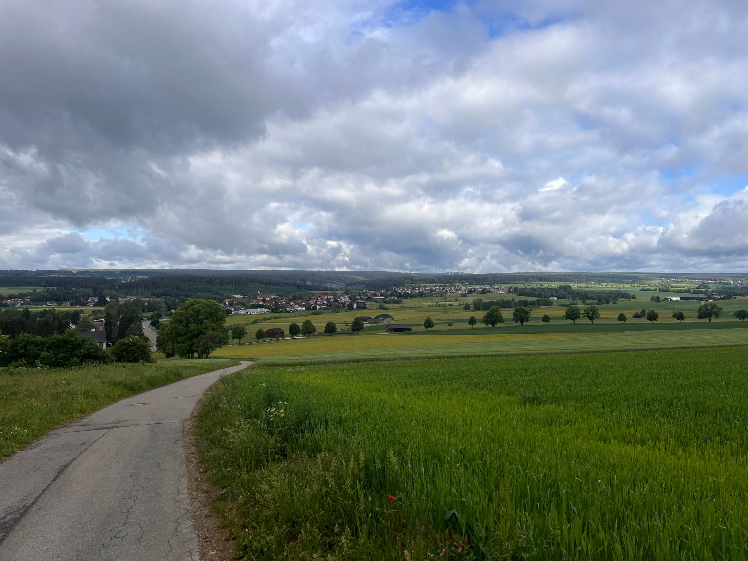
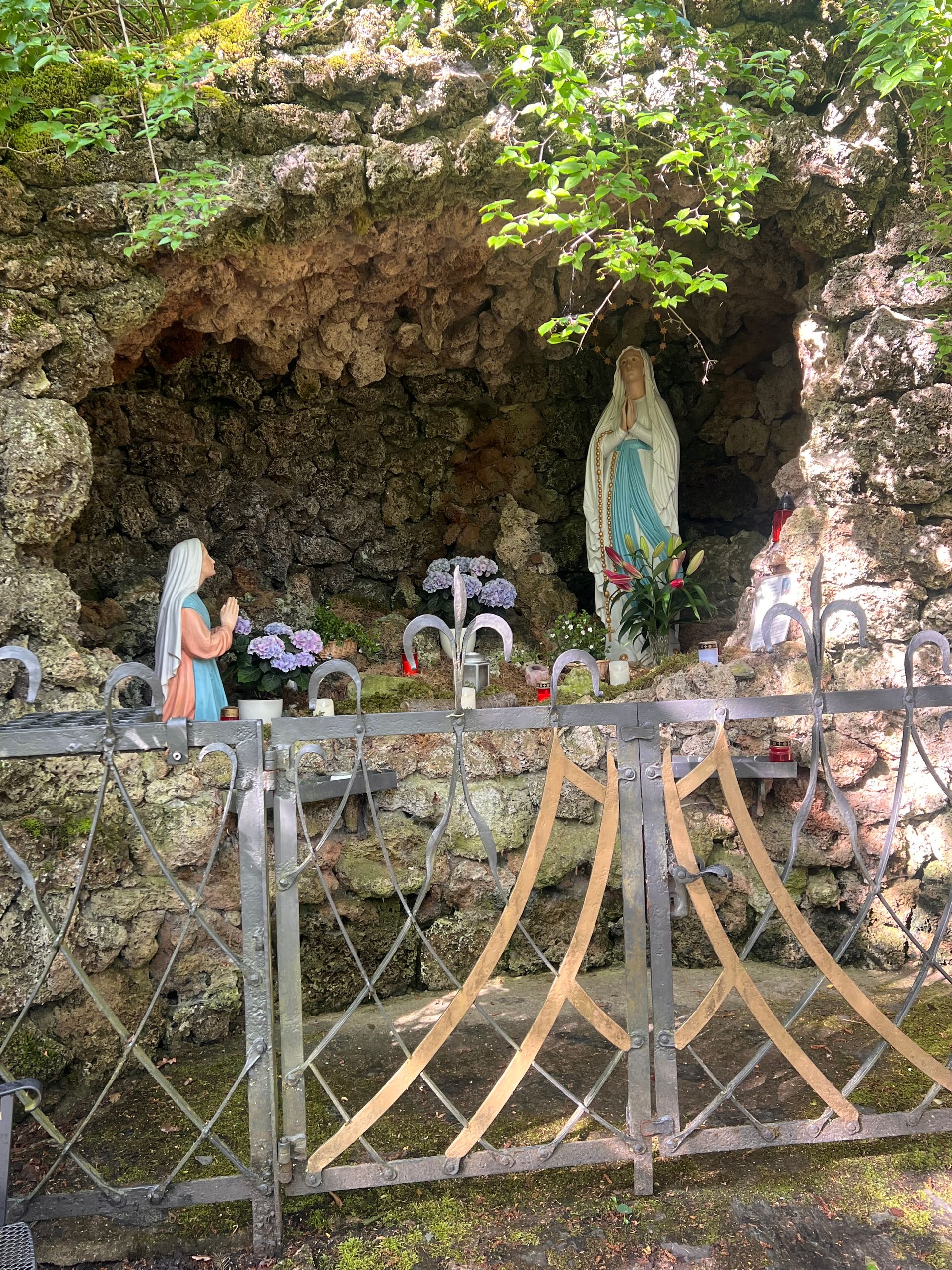
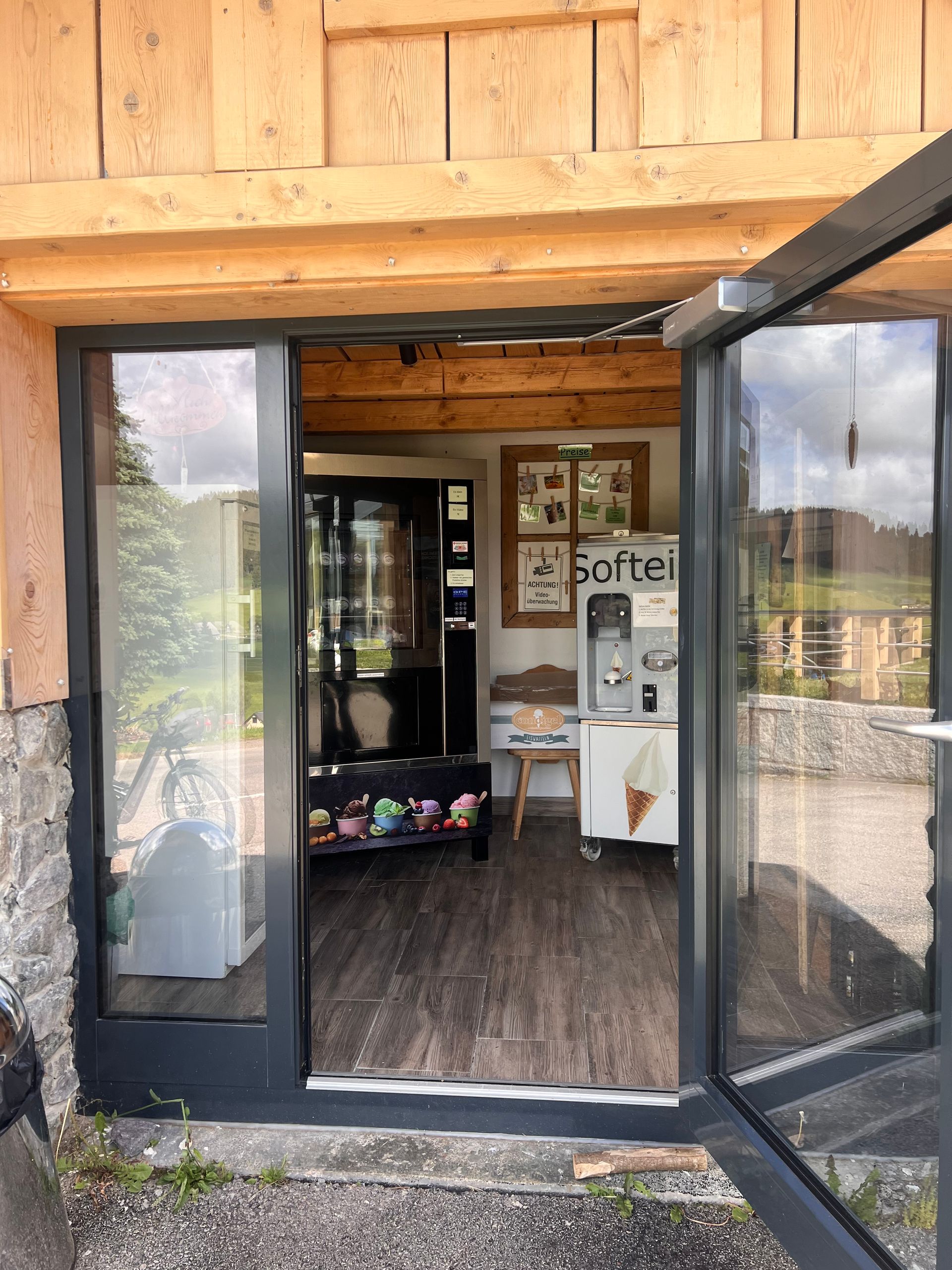
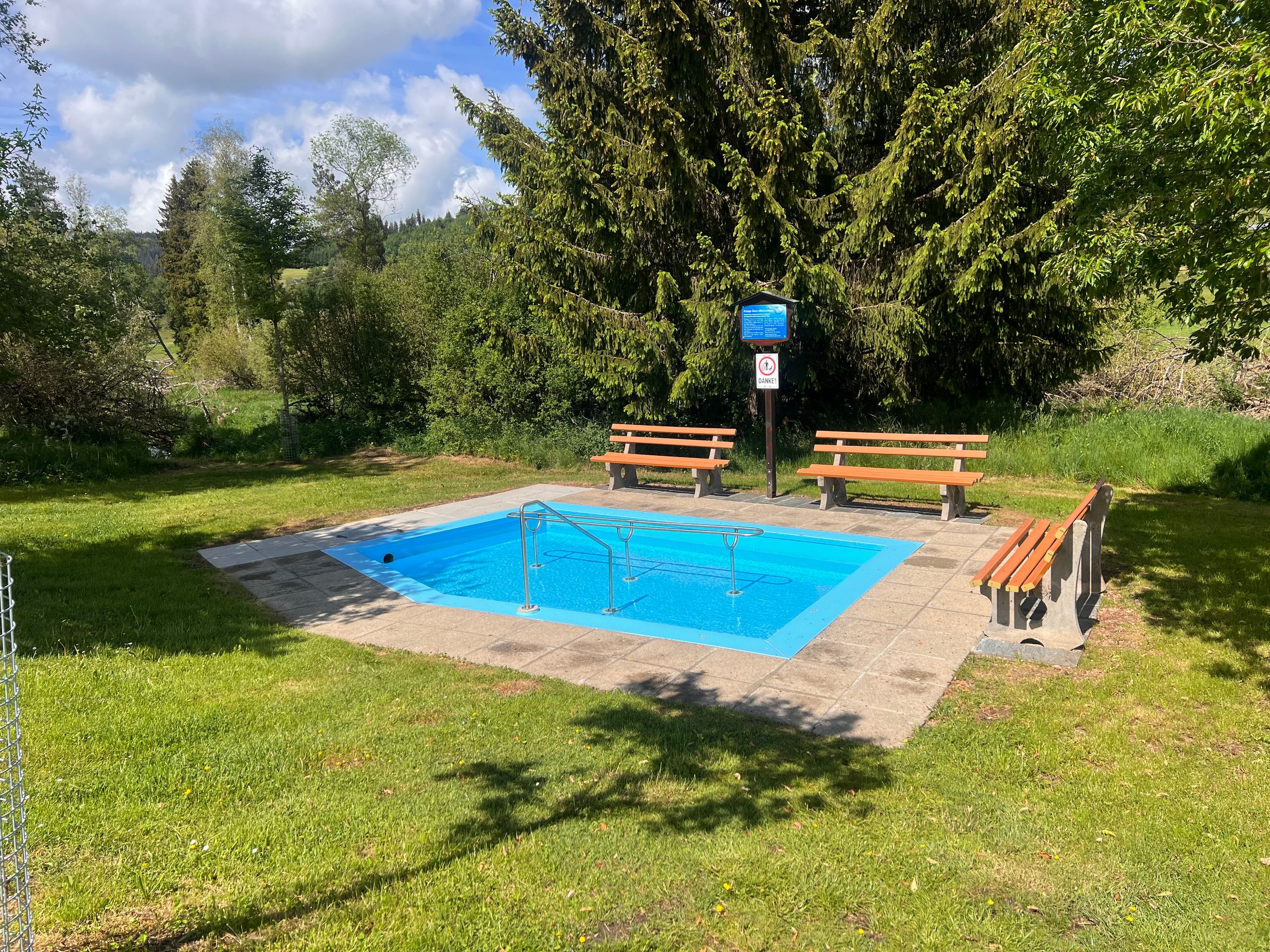
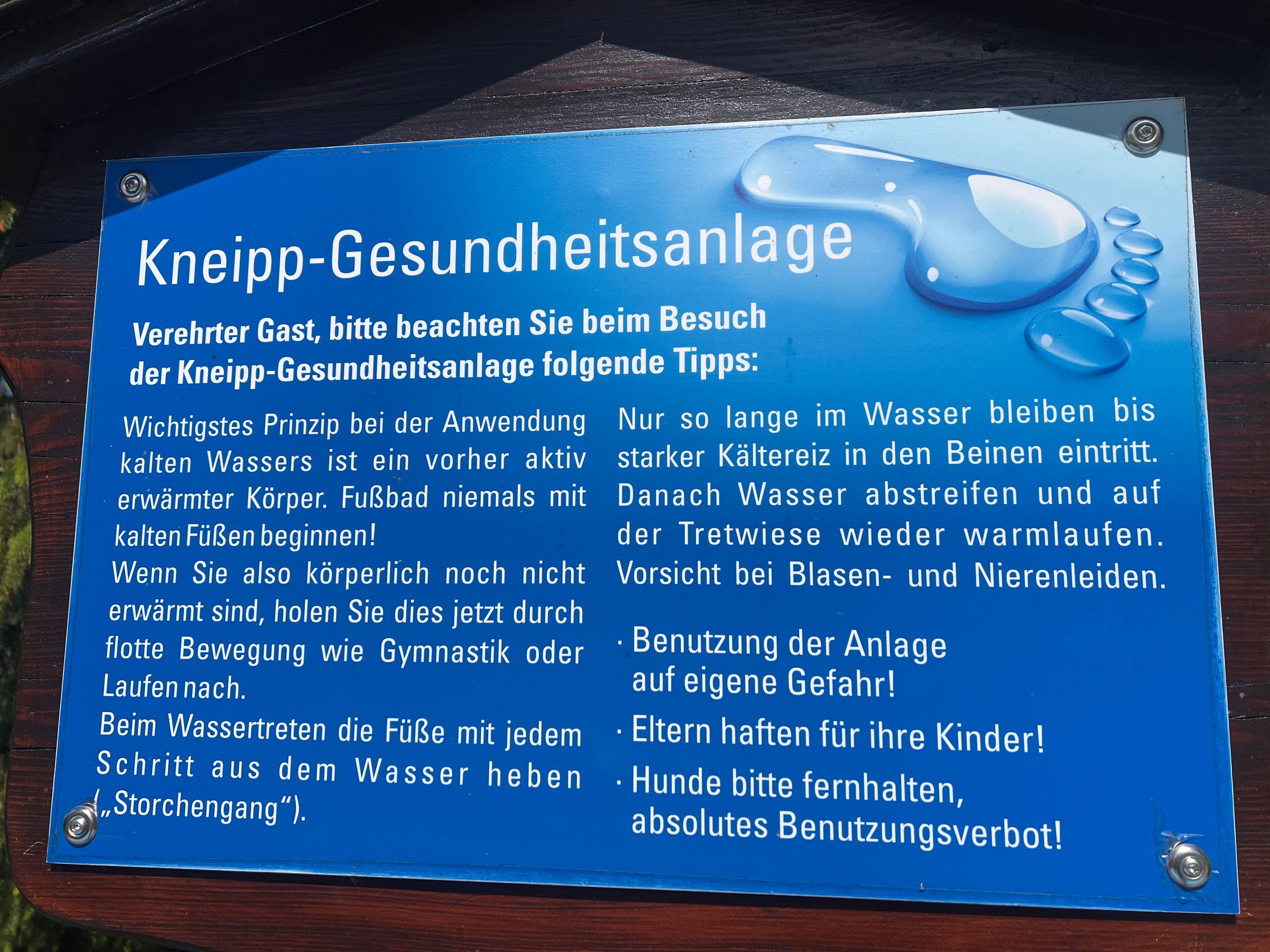
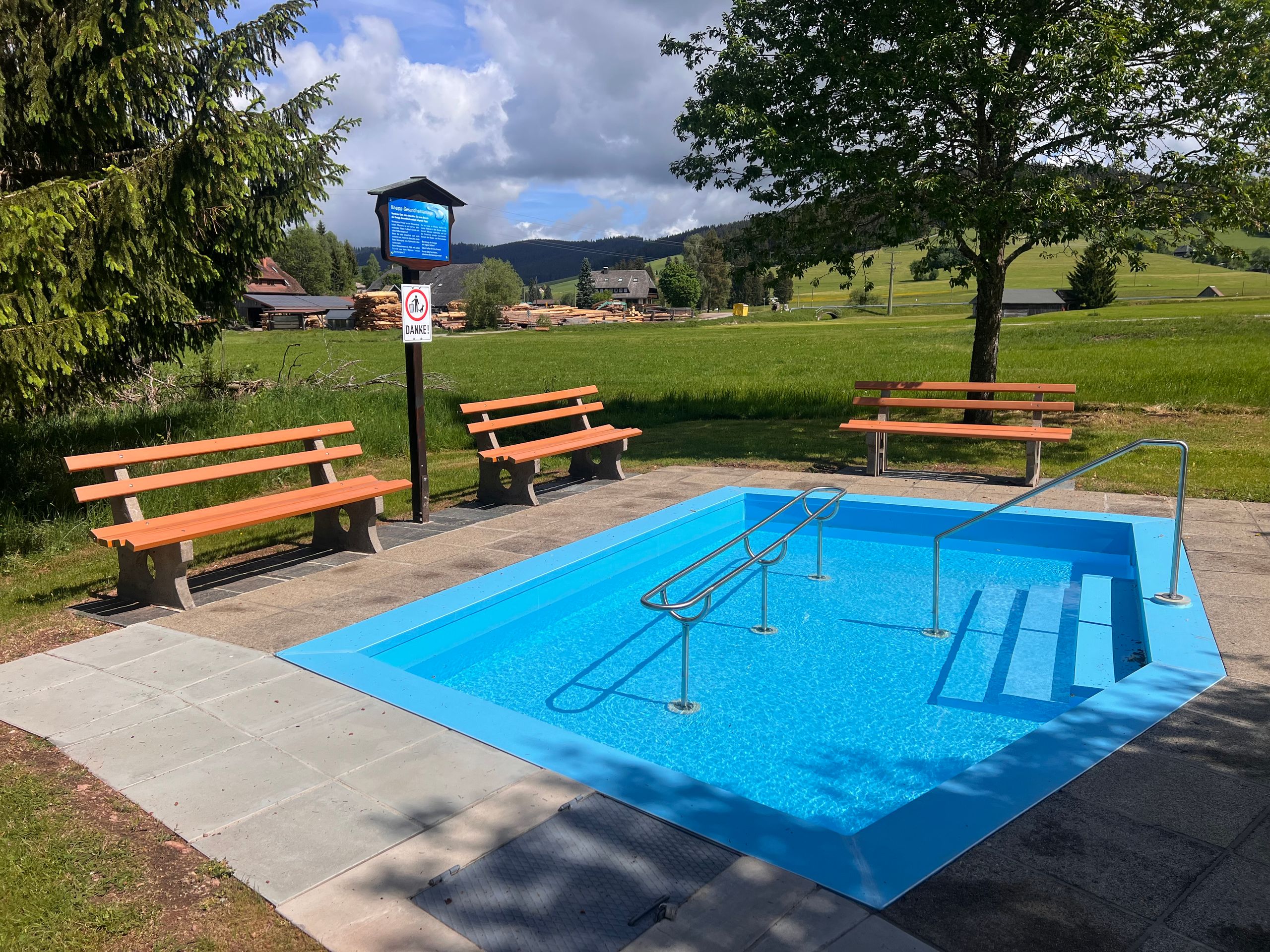
This was followed by a steep descent to a farm that offered ice cream. Shortly after, I passed another beautiful Kneipp facility that I would have loved to use. But is that really fun on your own? I wasn't allowed to take my bike into the water, even though it needed a 'spa treatment' even more than I did.
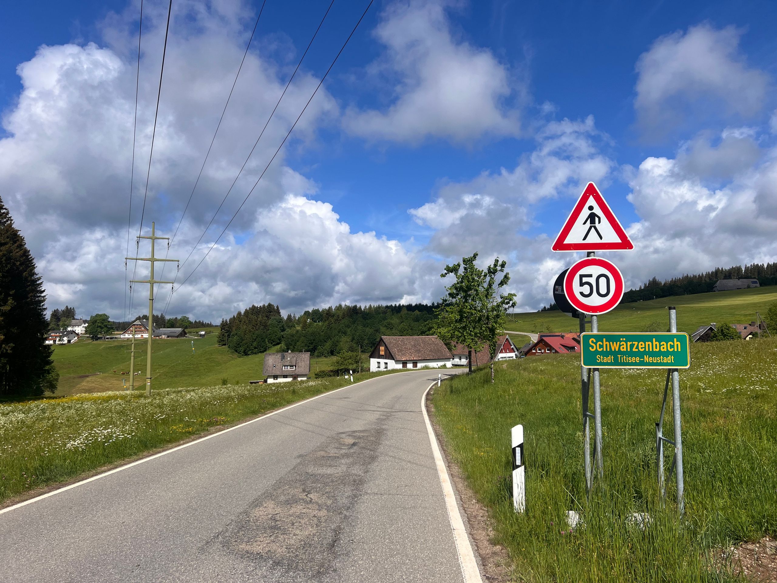
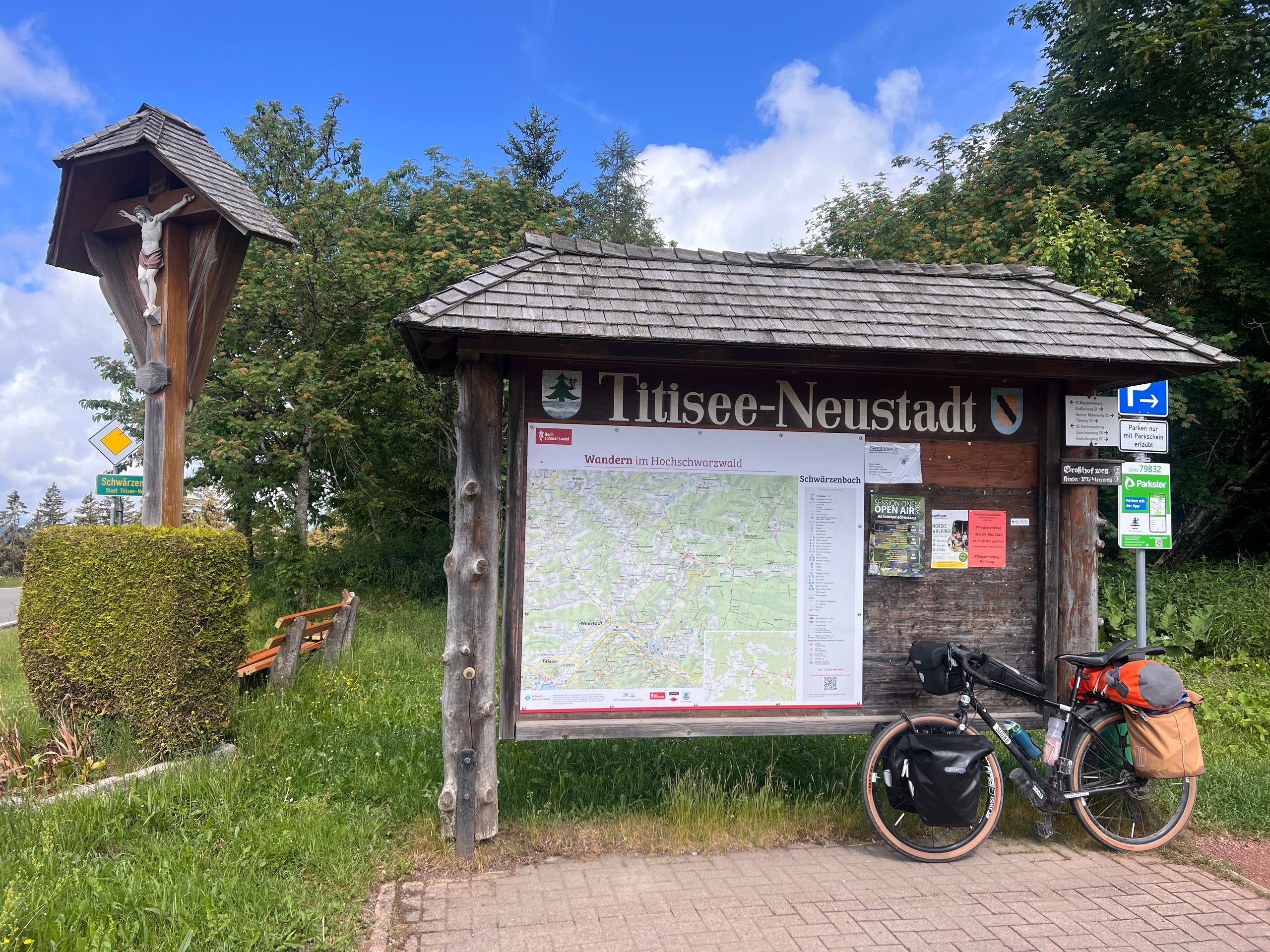
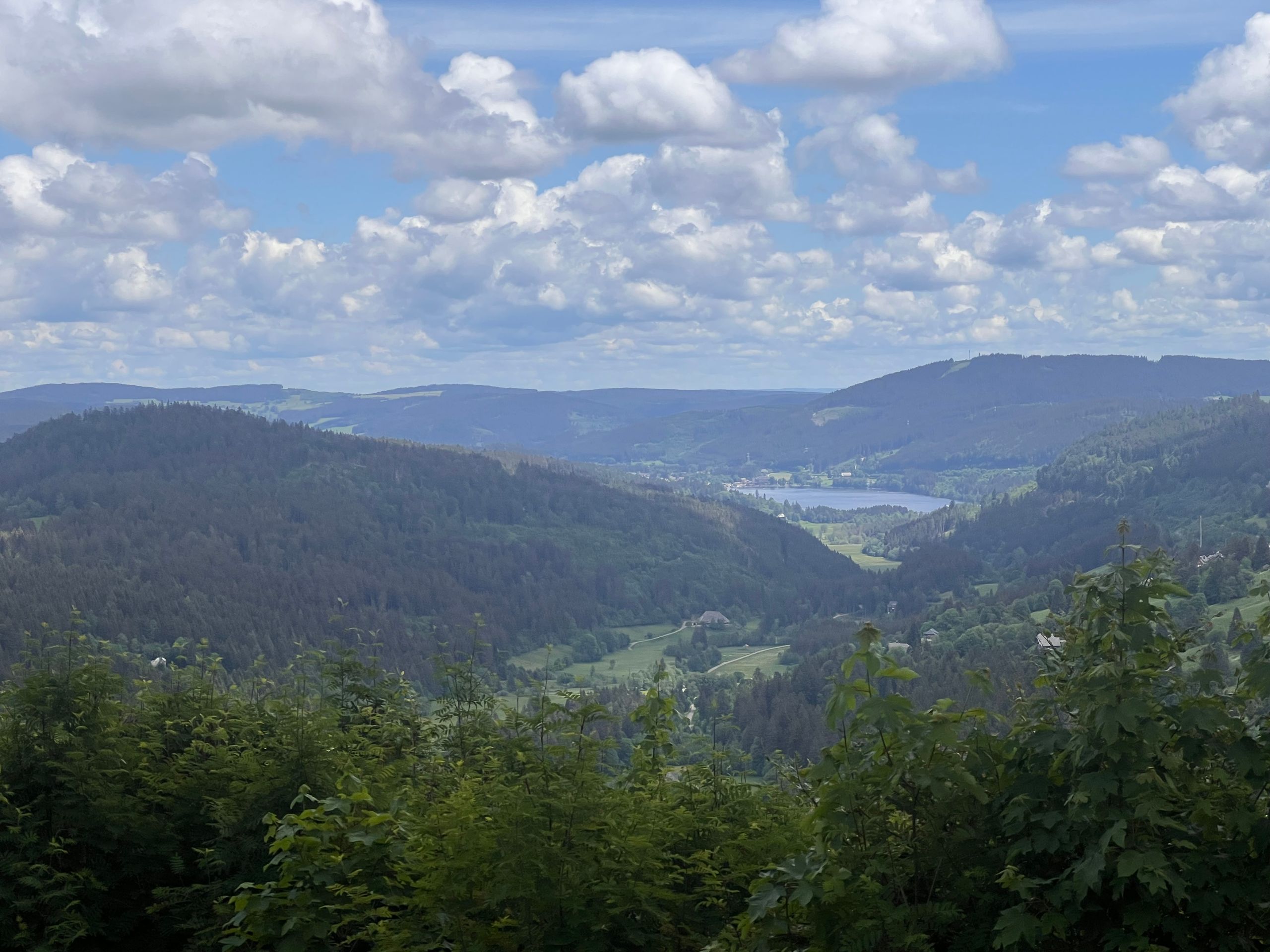
So I rode on, and soon Titisee was in front of me. I actually remembered the road going right along the lake, but that wasn't the case. The town was behind me before I even realized I was there. Now I will take the bus back to get a closer look at the place and take some photos.
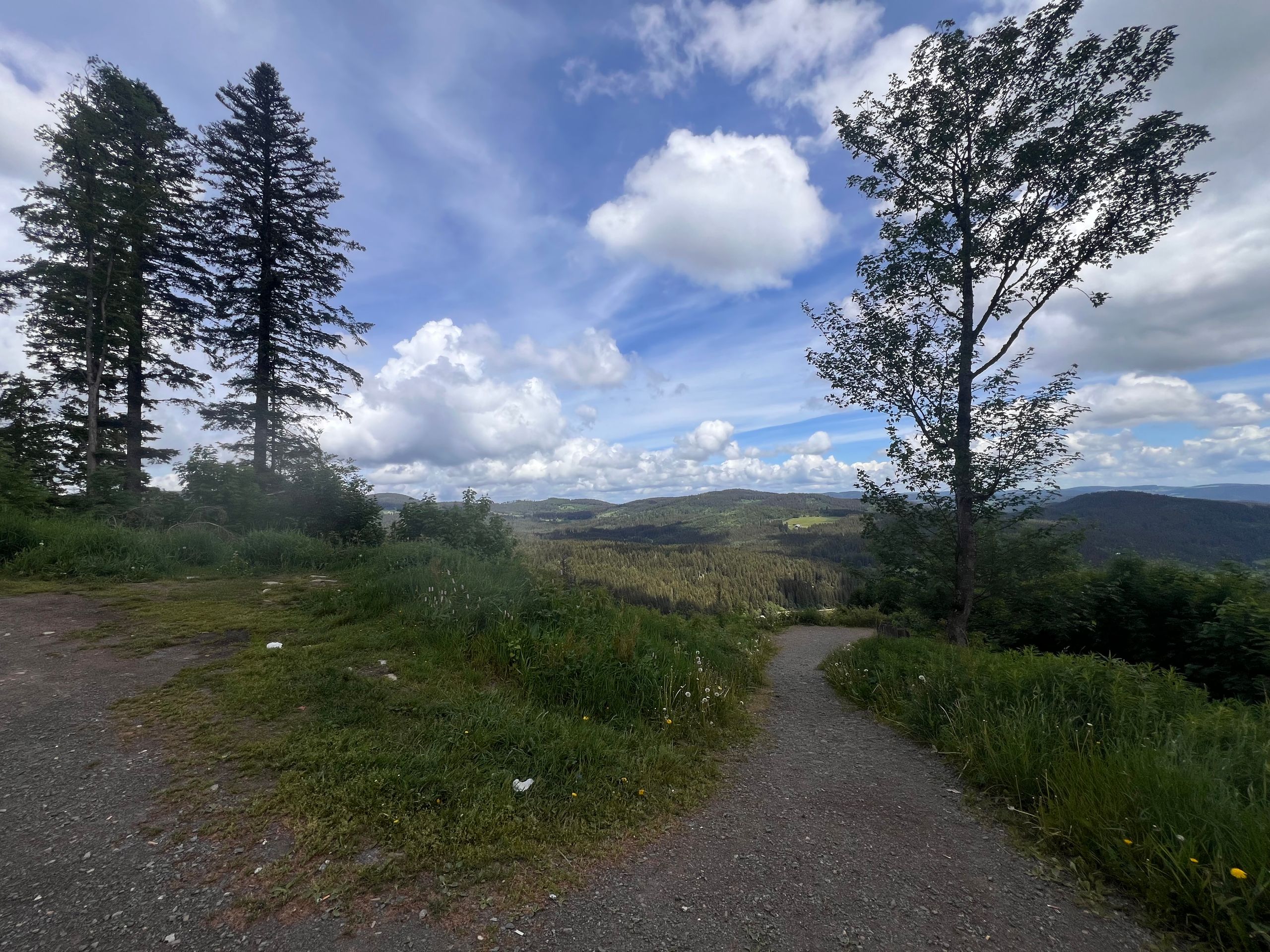
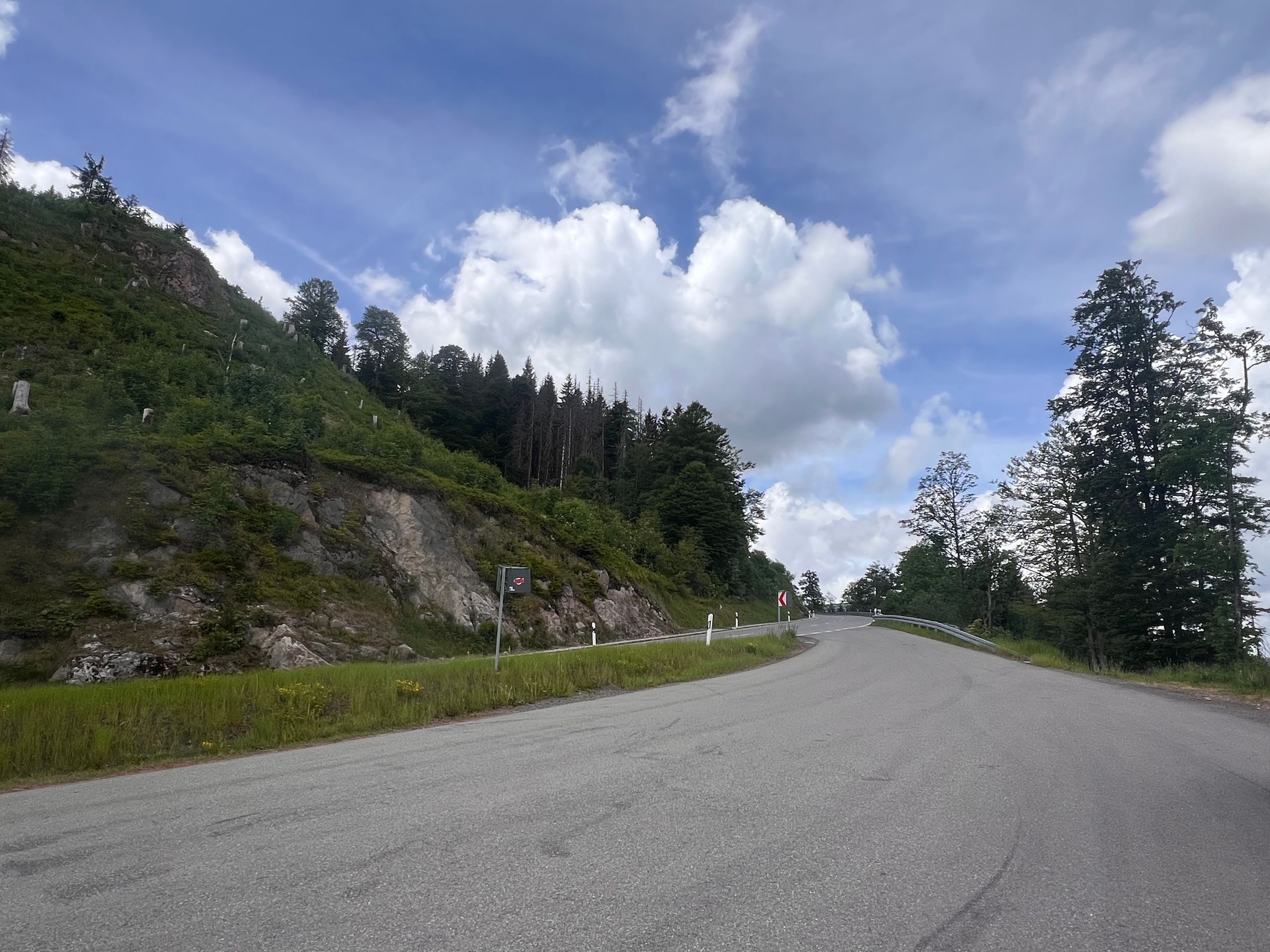
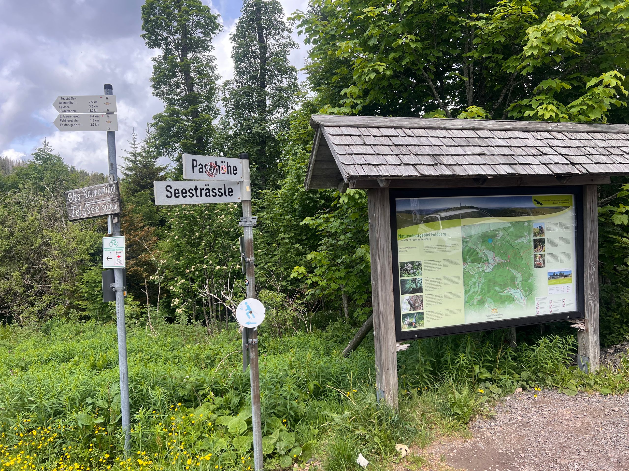
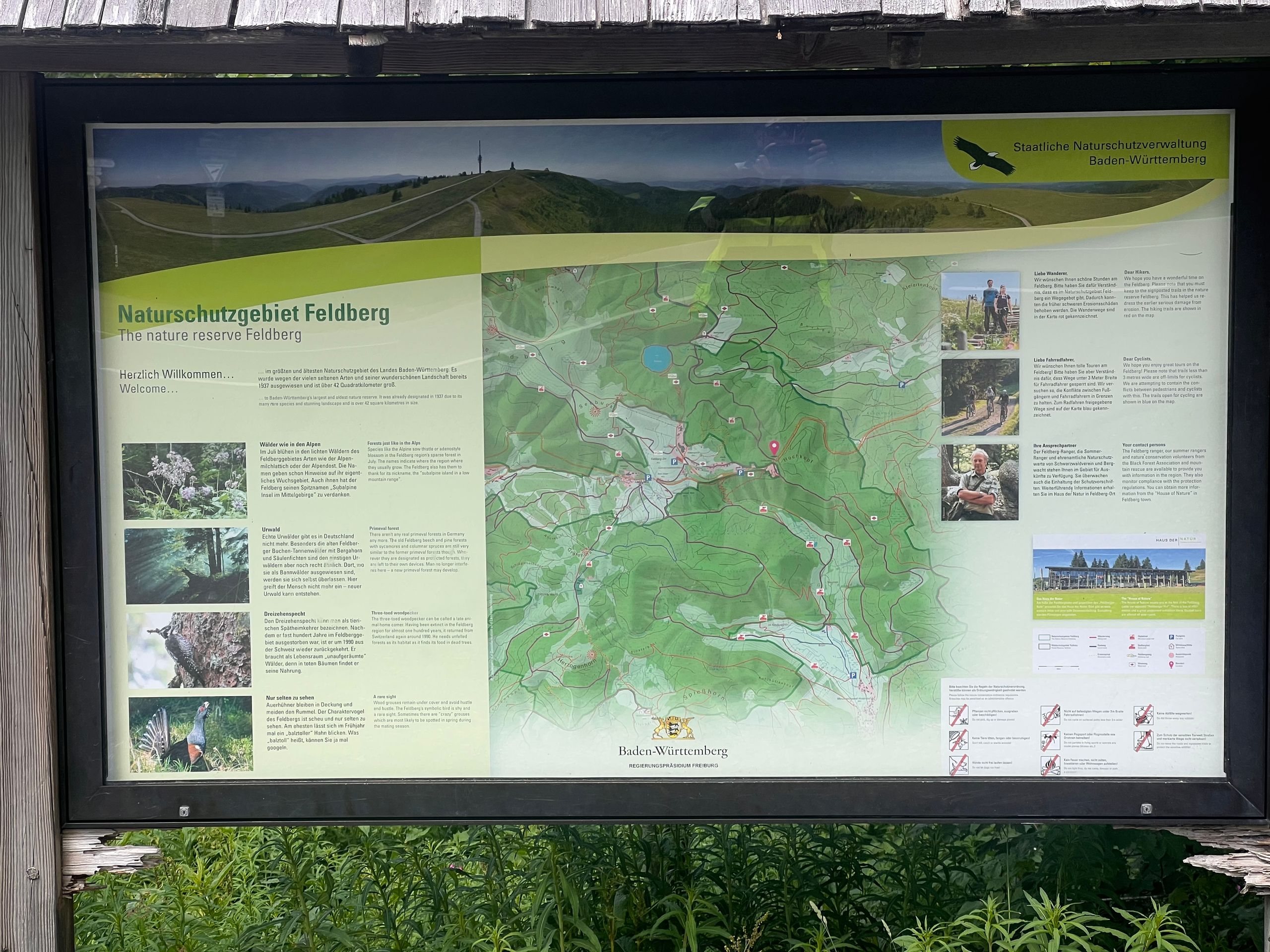
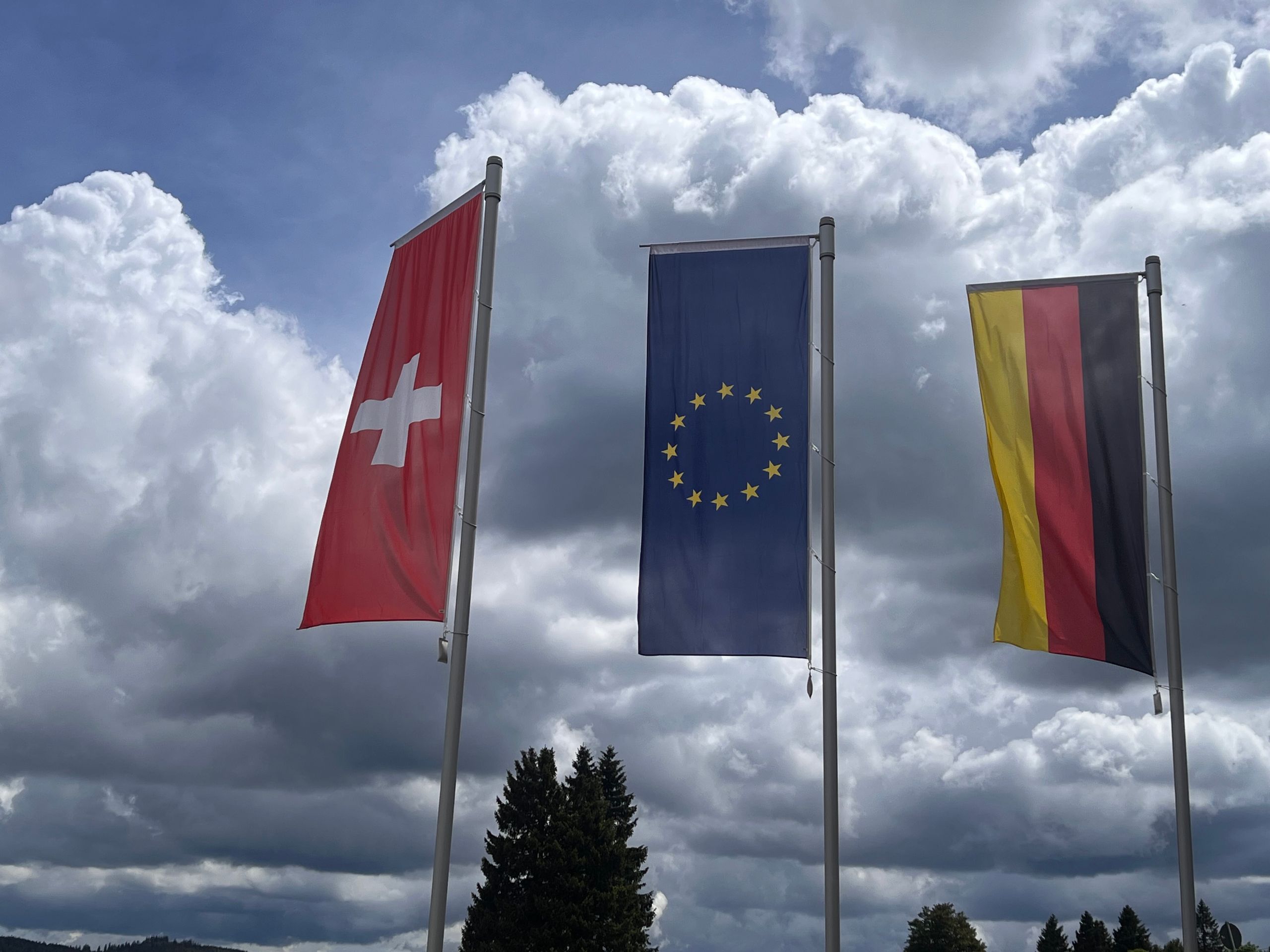
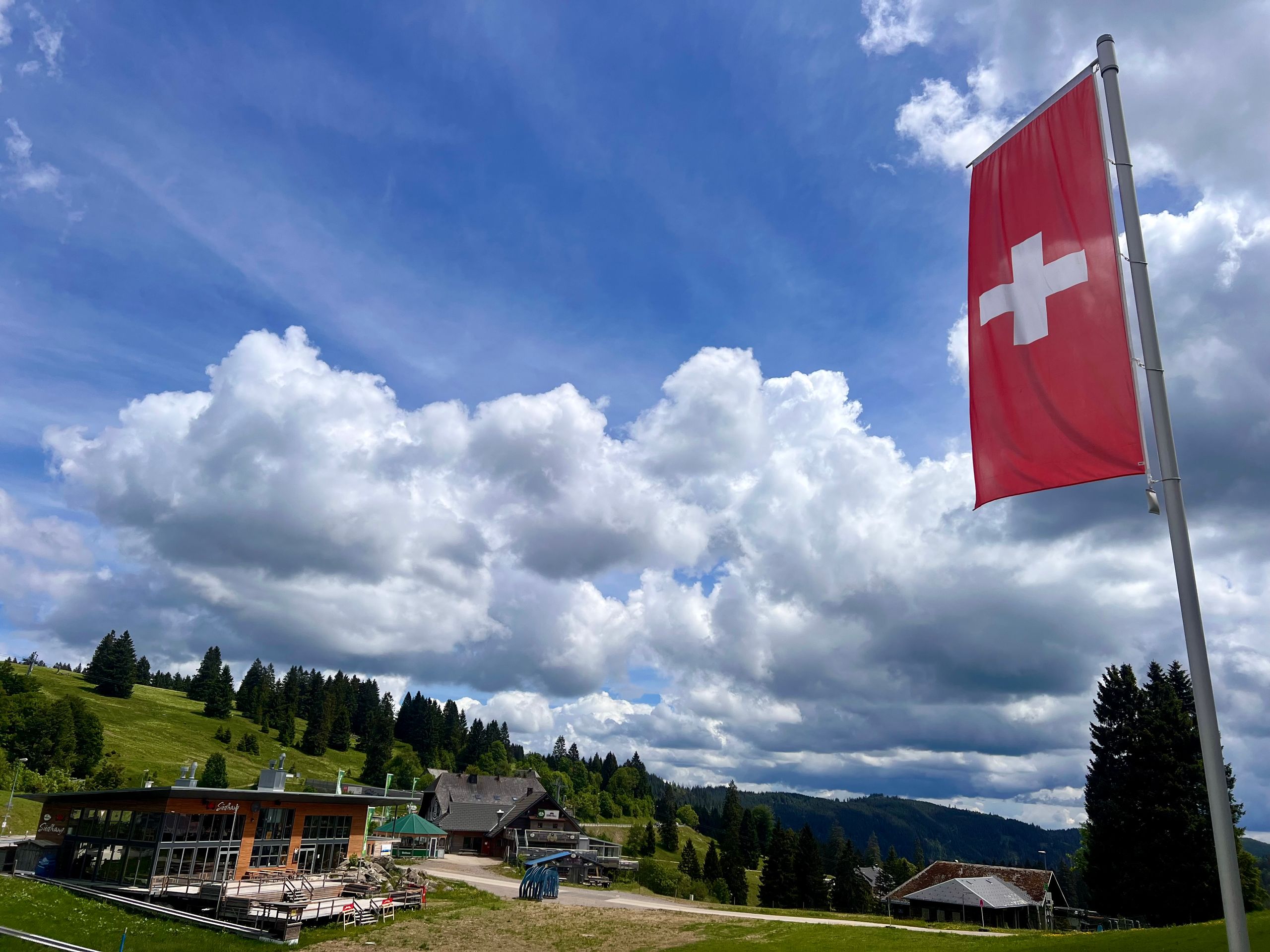
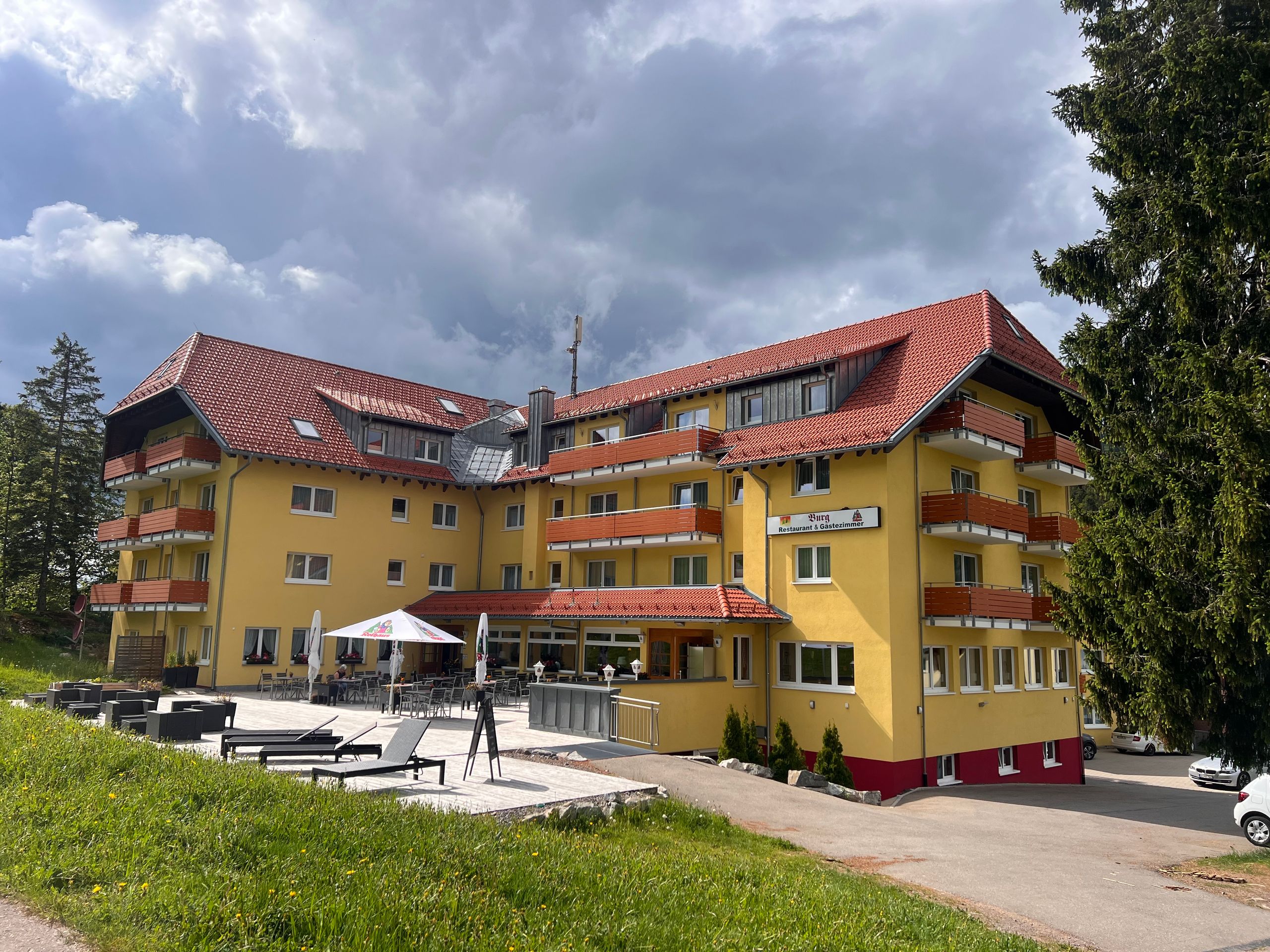
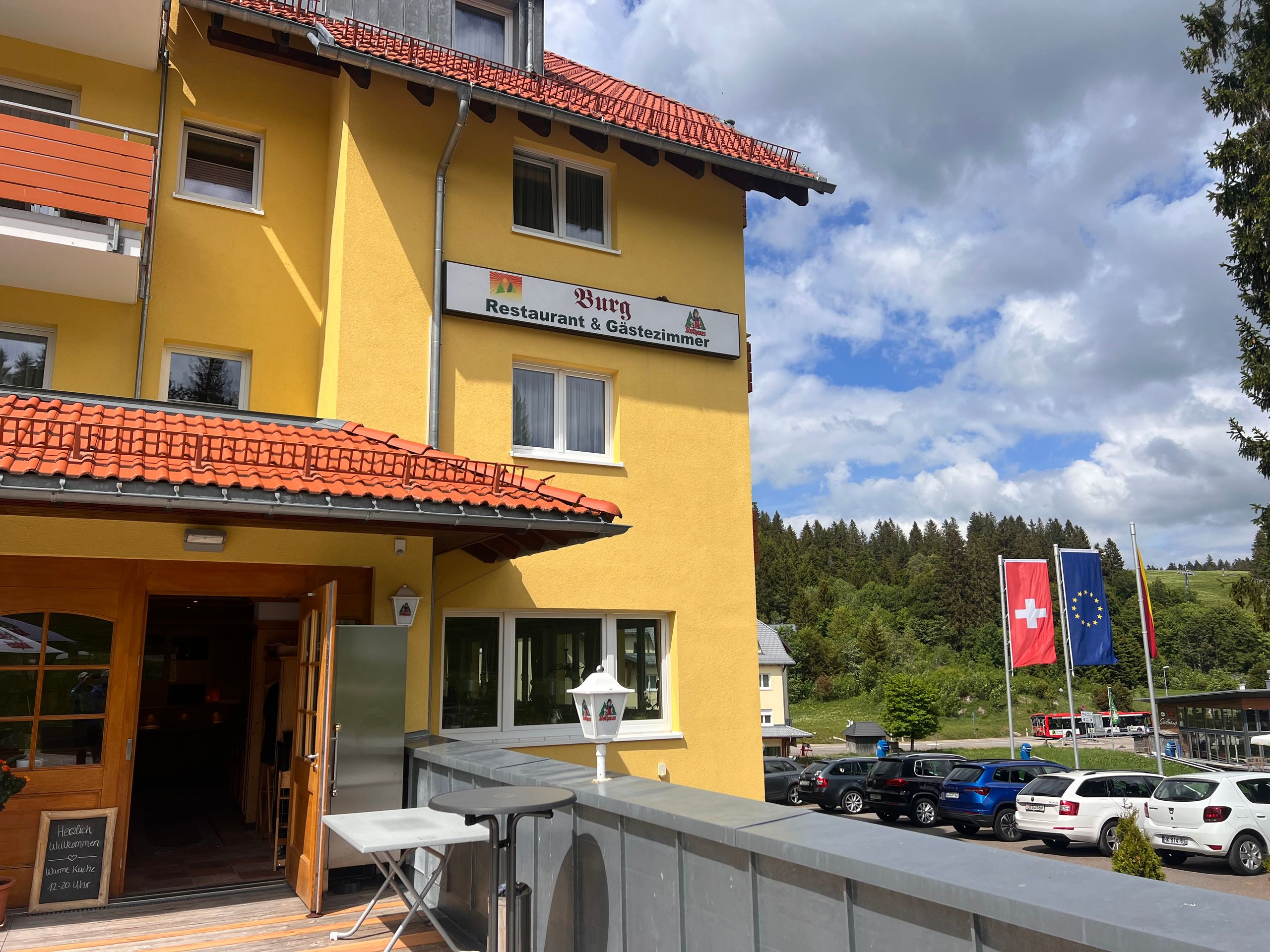
And then suddenly the Feldberg was in front of me, and it was uphill until the summit of the pass. Then followed a short downhill stretch, and I was already at my destination: my hotel in Feldberg. 🚴♂️😊
***
#
English
Route: 49 kilometers, cumulative: 2,075 kilometers | Elevation gain: 1,010 meters, cumulative elevation gain: 9,149 meters, distance from home: 75 kilometers (as the crow flies)
Should I really split a tour of less than 50 kilometers into two stages? Sure, there were over a thousand meters of elevation gain, which is equivalent to what usually takes me several days. On the other hand, I have often completed stages with significantly greater climbs. So, I just started riding and arrived at my final destination after only three hours, not counting the journey home.
Consequently, despite a few rest days, I arrived at the hotel three days early, where I will meet my club friends from Pro Wolermoos on Thursday. I want to use this time to get to know the area a bit—without a bike, but using public transport, which I can use for free with the guest card.
In the last hotel, breakfast wasn't served until 7:30 AM. I used the time before that to pack and put my e-bike in front of the hotel. This way, I was ready for departure quickly after breakfast.
The first incline started right after the hotel. That's when I noticed for the first time that Komoot now also displays the gradients. I don't know if this feature was launched exactly on June 1st or if I only noticed it today. In any case, I think it's a great update.
At the point marked as the watershed between the Rhine and the Danube, a very long path began through a forest which, typical of the Black Forest, consists only of fir trees. I actually love such secluded paths; they are quiet and free of traffic. Unfortunately, this forest path was recently covered with new gravel, making the ground very soft and difficult to ride on. Komoot told me the path was over six kilometers long. When someone called me, I took the opportunity to get off and talk on the phone while walking. And lo and behold, suddenly the ground became firm and riding went well again.
This was followed by a steep descent to a farm that offered ice cream. Shortly after, I passed another beautiful Kneipp facility that I would have loved to use. But is that really fun on your own? I wasn't allowed to take my bike into the water, even though it needed a 'spa treatment' even more than I did.
So I rode on, and soon Titisee was before me. I actually remembered the road going right along the lake, but that wasn't the case. The town was behind me before I even realized I was there. Now I will take the bus back to take a closer look at the place and take some photos.
And then suddenly the Feldberg was in front of me, and it was uphill until the summit of the pass. Then followed a short downhill stretch, and I was already at my destination: my hotel in Feldberg. 🚴♂️😊
***
Español
Ruta: 49 kilómetros, acumulados: 2.075 kilómetros | Desnivel: 1.010 metros, desnivel acumulado: 9.149 metros, distancia desde casa: 75 kilómetros (en línea recta)
¿Debería realmente dividir un recorrido de menos de 50 kilómetros en dos etapas? Es cierto que hubo más de mil metros de desnivel, lo que equivale a lo que normalmente me toma varios días. Por otro lado, a menudo he completado etapas con ascensos mucho mayores. Así que simplemente me puse en marcha y llegué a mi destino final después de solo tres horas, sin contar el viaje de vuelta a casa.
Por lo tanto, a pesar de algunos días de descanso, llegué al hotel tres días antes de lo previsto, donde el jueves me reuniré con mis amigos del club Pro Wolermoos. Quiero aprovechar este tiempo para conocer un poco los alrededores, pero sin la bicicleta, sino utilizando el transporte público, que puedo usar de forma gratuita con la tarjeta de invitado.
En el último hotel, el desayuno no empezaba hasta las 07:30. Aproveché el tiempo previo para hacer la maleta y dejar mi e-bike frente al hotel. Así, después del desayuno, estuve listo para partir rápidamente.
Justo después del hotel comenzó la primera subida. Fue entonces cuando me di cuenta por primera vez de que Komoot ahora también muestra las pendientes. No sé si esta función se activó exactamente el 1 de junio o si recién me percaté hoy. En cualquier caso, me parece una excelente mejora.
En el punto señalado como la divisoria de aguas entre el Rin y el Danubio, comenzó un camino muy largo a través de un bosque que, típico de la Selva Negra, consiste solo en abetos. En realidad, me encantan estos caminos aislados; son tranquilos y sin tráfico. Lamentablemente, a este camino forestal le habían echado grava nueva hace poco, por lo que el suelo estaba muy blando y era difícil de transitar. Komoot me indicó que el camino tenía más de seis kilómetros de largo. Cuando alguien me llamó, aproveché la oportunidad para bajarme y hablar por teléfono mientras caminaba. Y para mi sorpresa, de repente el terreno se volvió firme y se podía pedalear bien.
Después vino un descenso pronunciado hasta una granja que ofrecía helados. Poco después pasé de nuevo por una hermosa instalación Kneipp que me hubiera gustado utilizar. Pero, ¿realmente es divertido hacerlo solo? No me permitieron meter mi bicicleta al agua, aunque ella necesitaba un 'tratamiento de balneario' más que yo.
Así que seguí adelante y pronto tuve el Titisee frente a mí. Tenía el recuerdo de que la carretera pasaba justo al lado del lago, pero no fue así. El pueblo ya había quedado atrás antes de que me diera cuenta de que estaba allí. Ahora volveré en autobús para ver el lugar más de cerca y también para tomar algunas fotos.
Y de repente apareció el Feldberg ante mí y el camino fue cuesta arriba hasta la cima del puerto. Luego siguió un breve tramo de bajada y ya estaba en mi destino: mi hotel en Feldberg. 🚴♂️😊