
24 to Donaueschingen
Route: 93 kilometers, cumulative: 2,026 kilometers | Altitude gain: 490 m, cumulative altitude gain: 8,139 m, distance from home: 92 kilometers (as the crow flies) Am I sad now,...

Published: 31.05.2026
Route: 0 kilometers, cumulative: 2,026 kilometers | Elevation gain: 0 m, cumulative elevation gain: 8,139 m, distance from home: 92 kilometers (as the crow flies)
Today at breakfast, I met two friendly men: Herbert and Patrick, father and son. They rode their e-bikes here from Schaffhausen and are starting their first stage on the Danube Cycle Path towards Vienna today. From there, they will take the train back home in two weeks.
So today they are cycling my route from yesterday in the opposite direction. I'm almost a little envious and would have loved to have joined them. 🤣 I wish them both a safe journey and a pleasant return home.
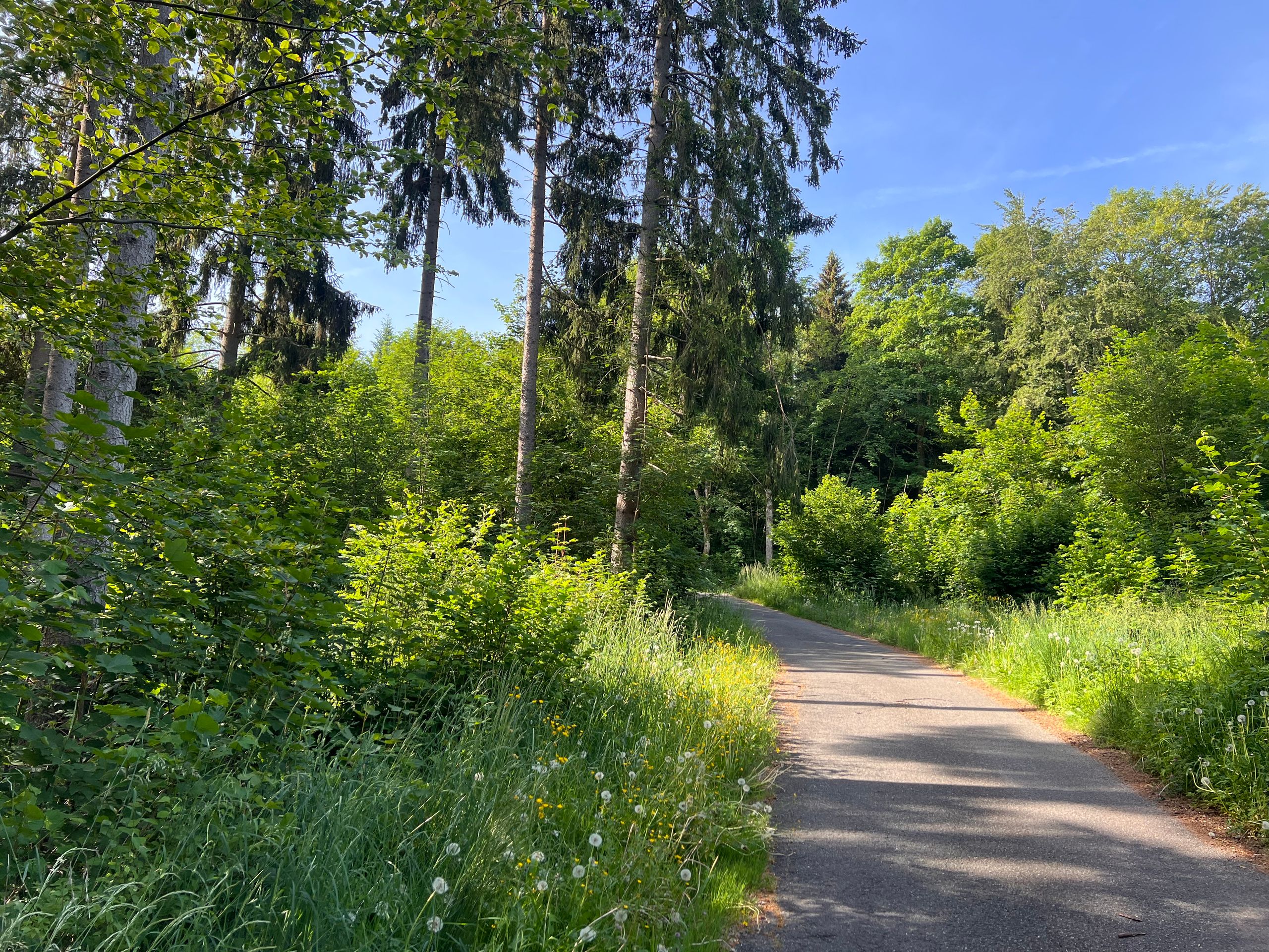
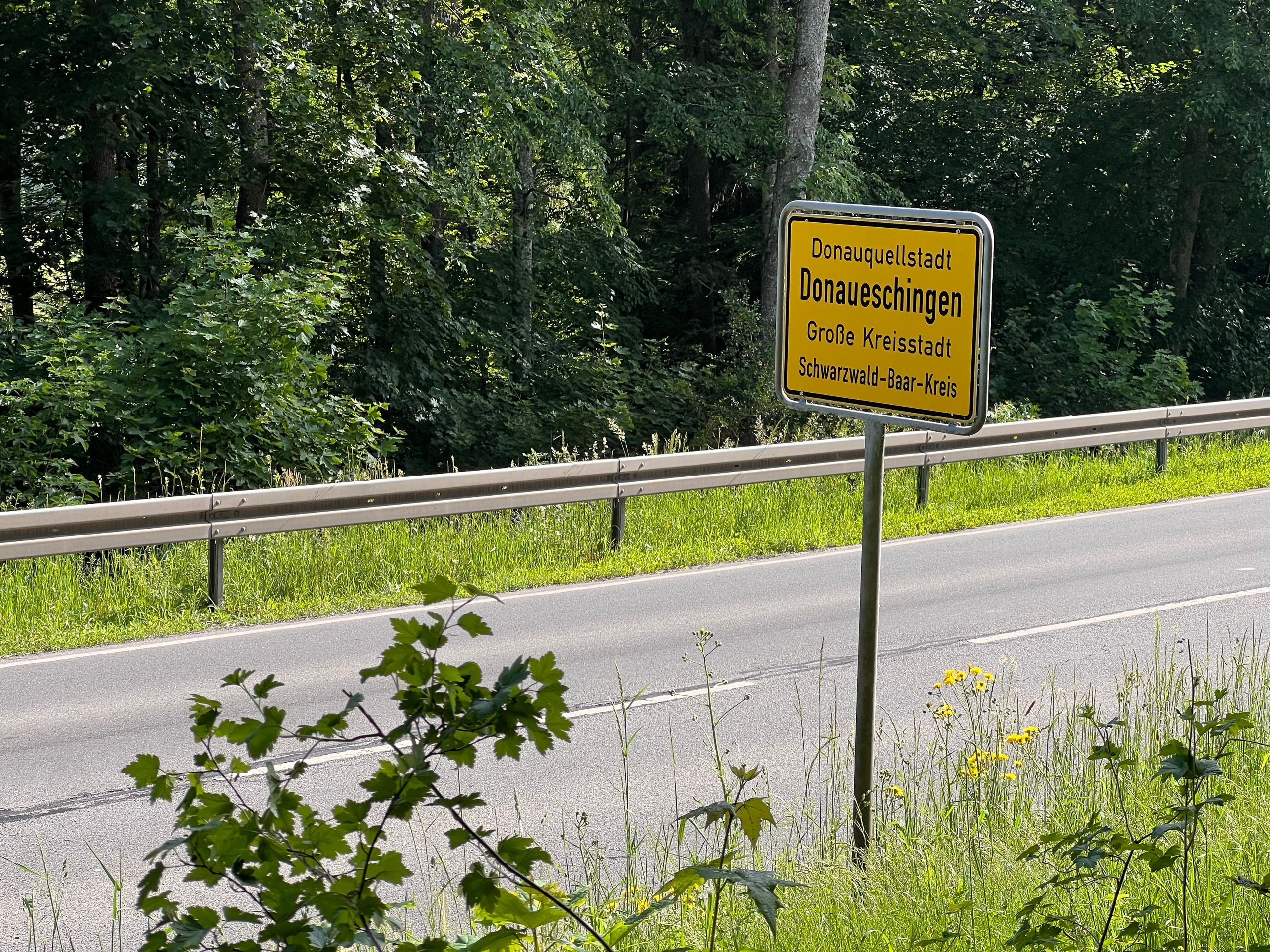
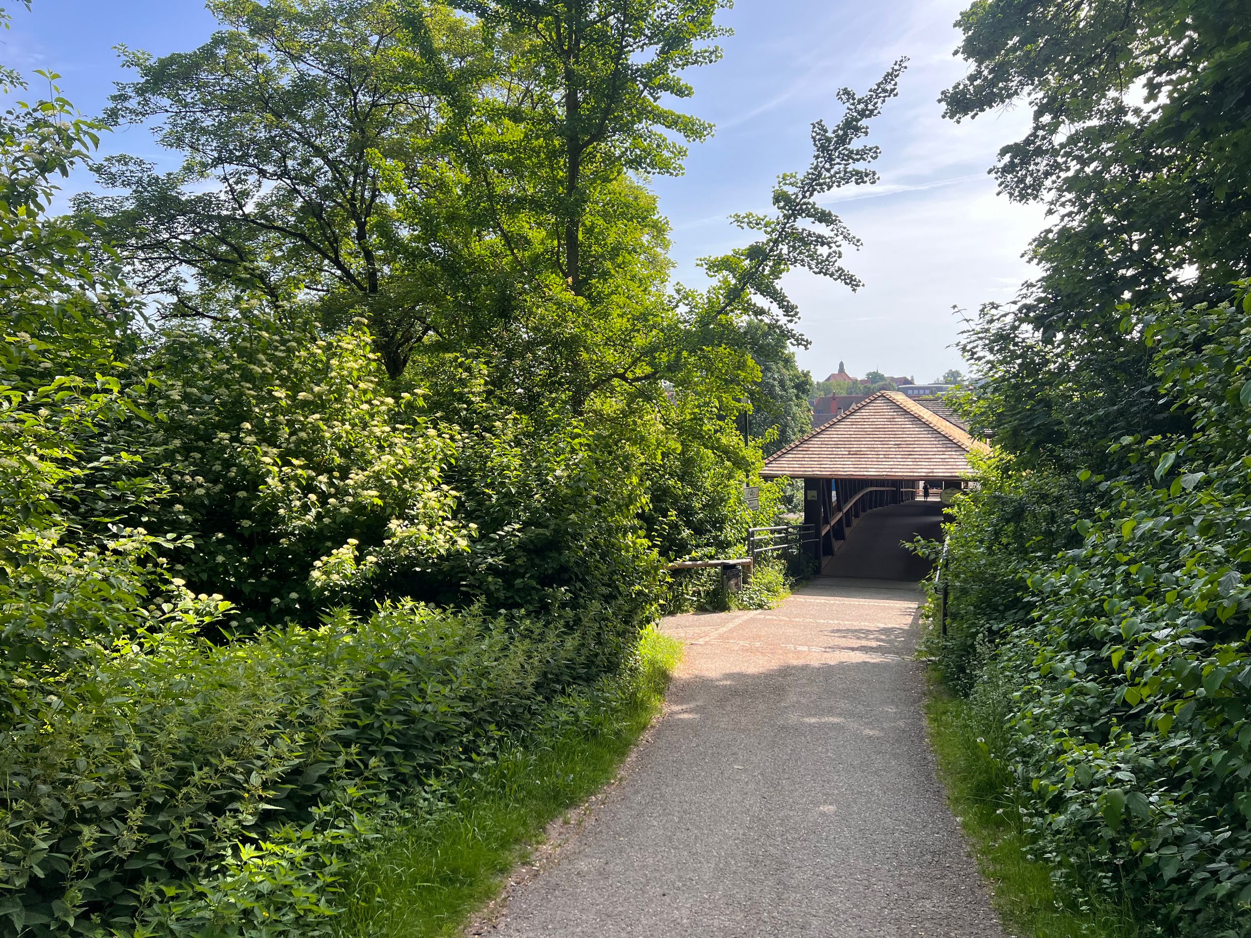
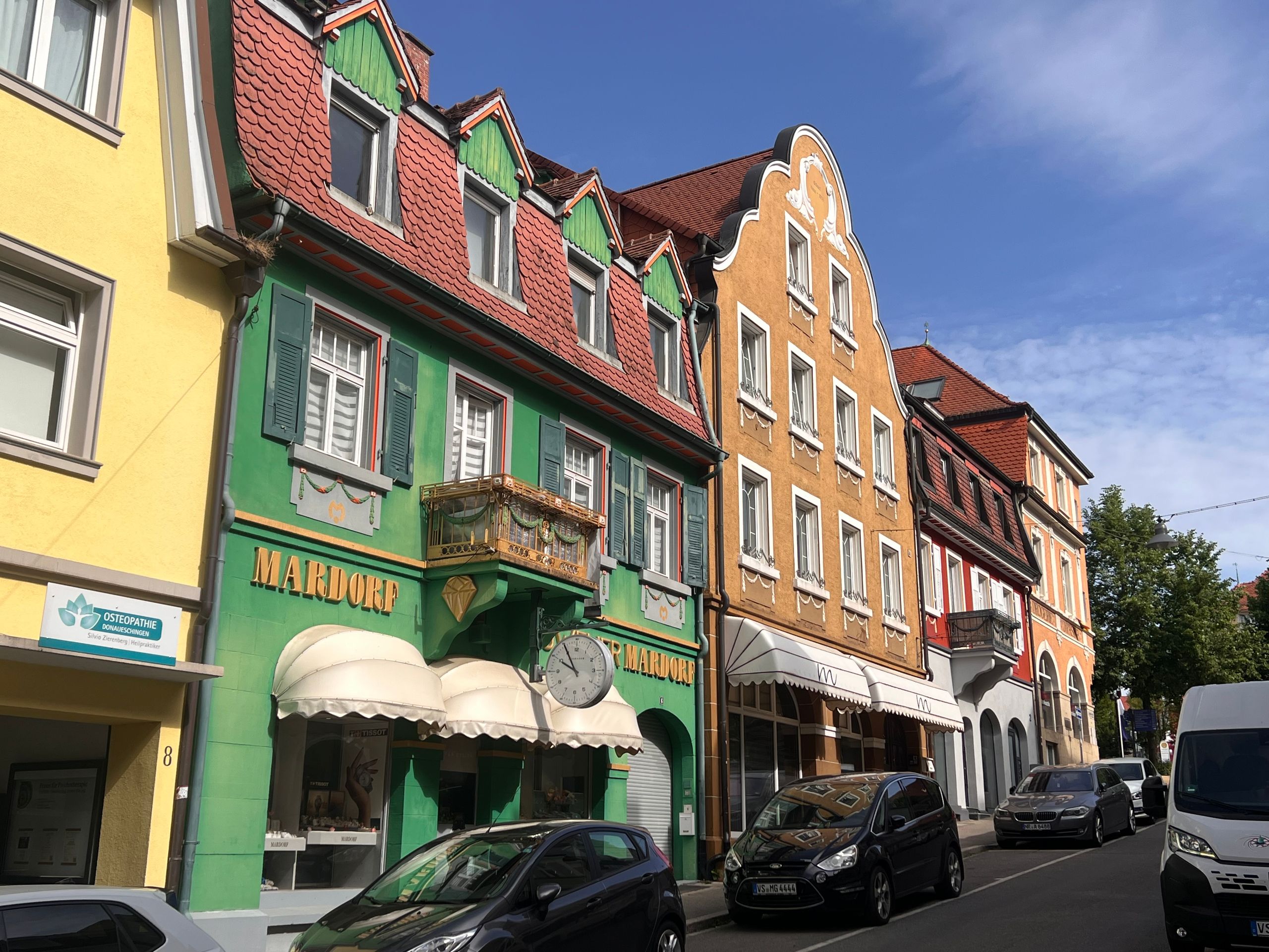
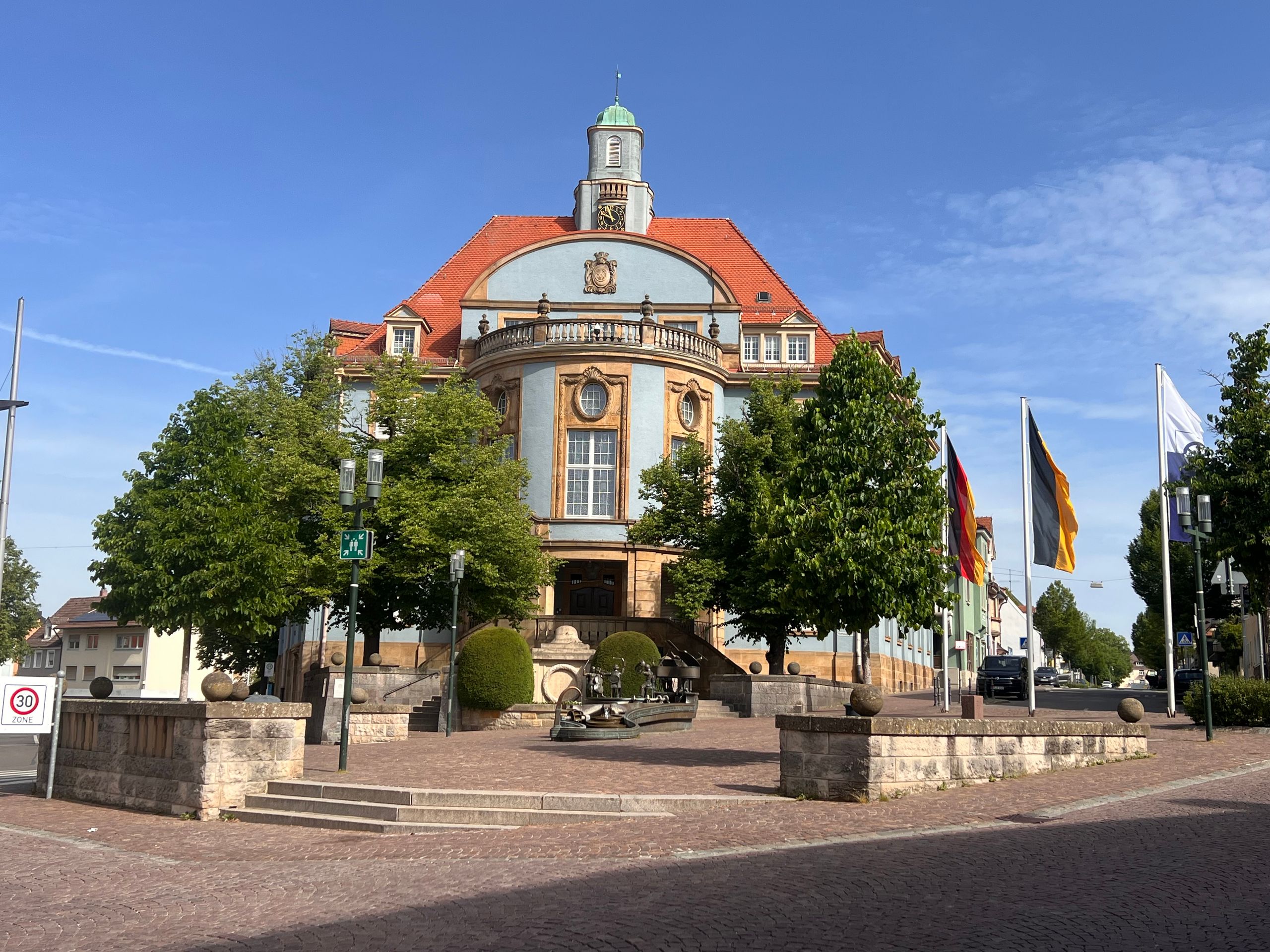
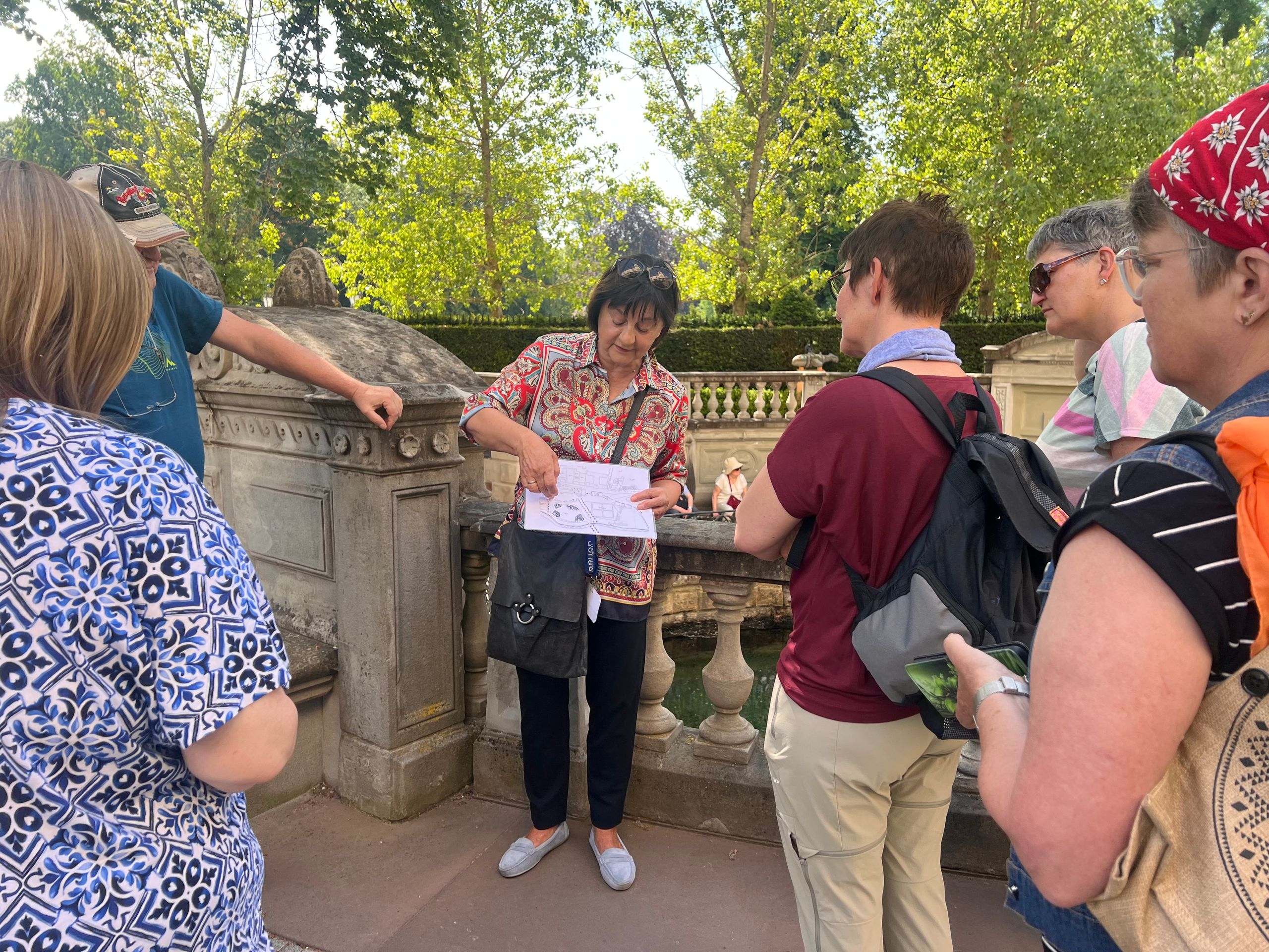
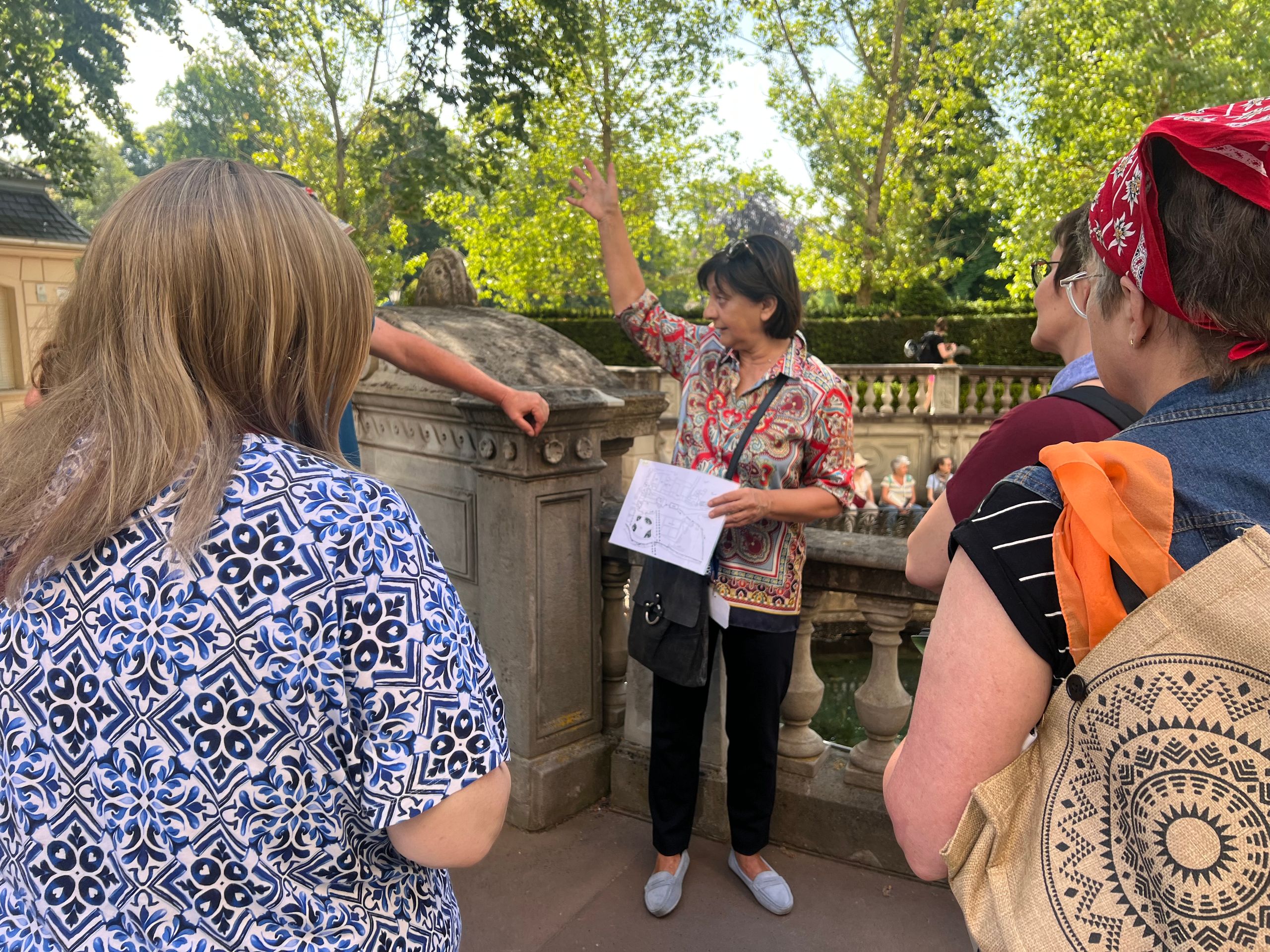
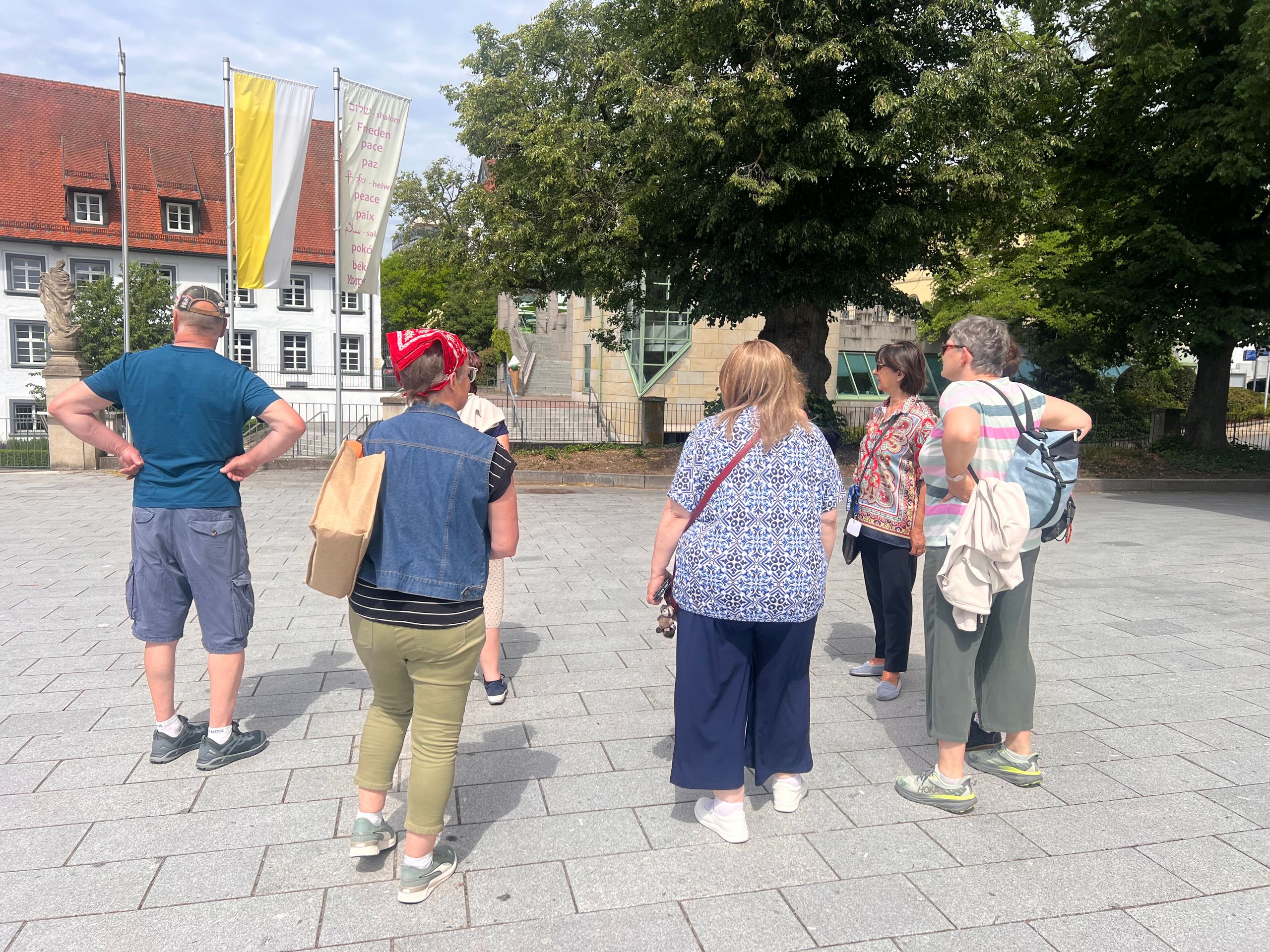
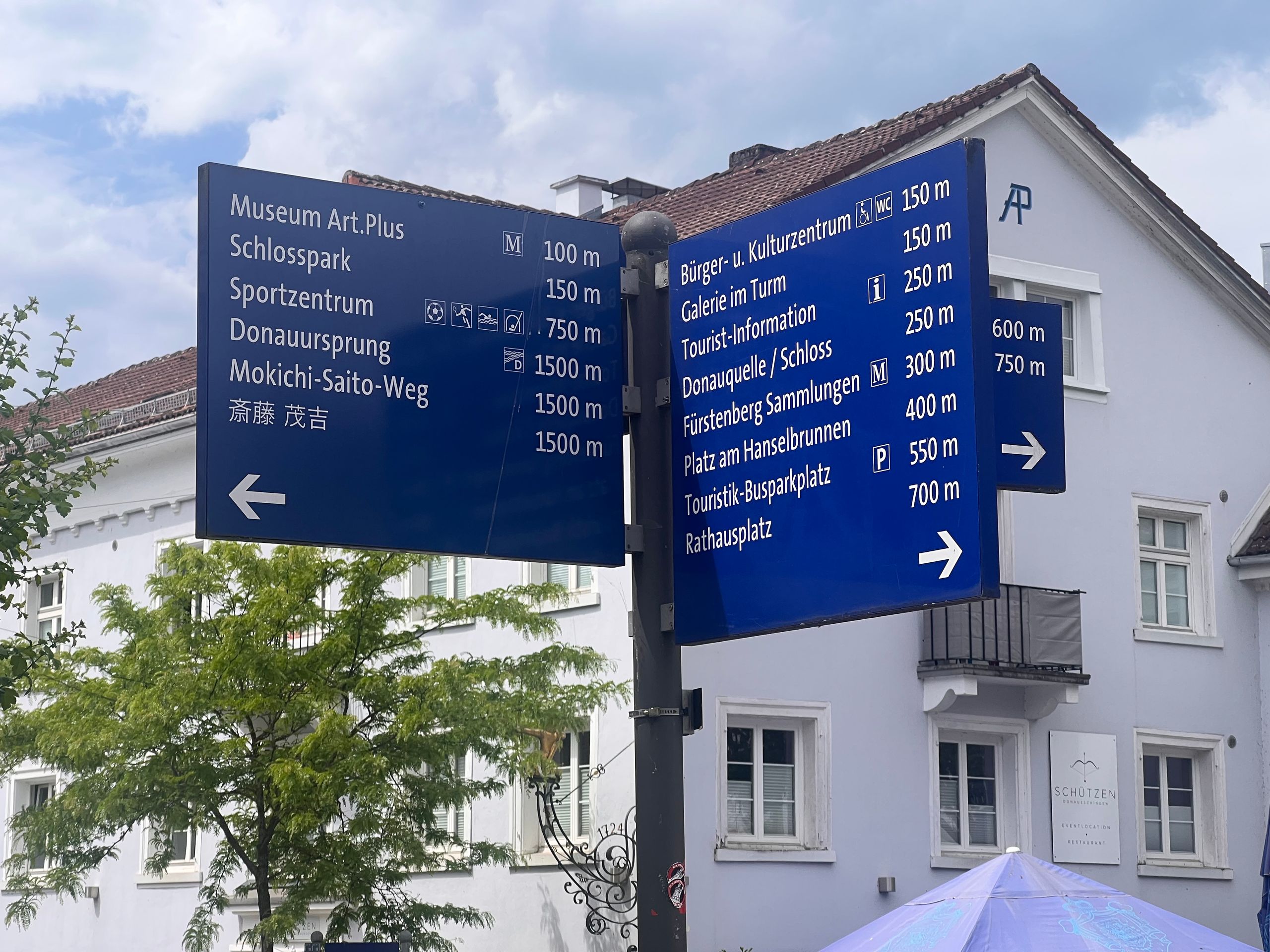
I then hiked to Donaueschingen myself. I really wanted to visit the source again, for which a guided tour was offered at 10:30 am.
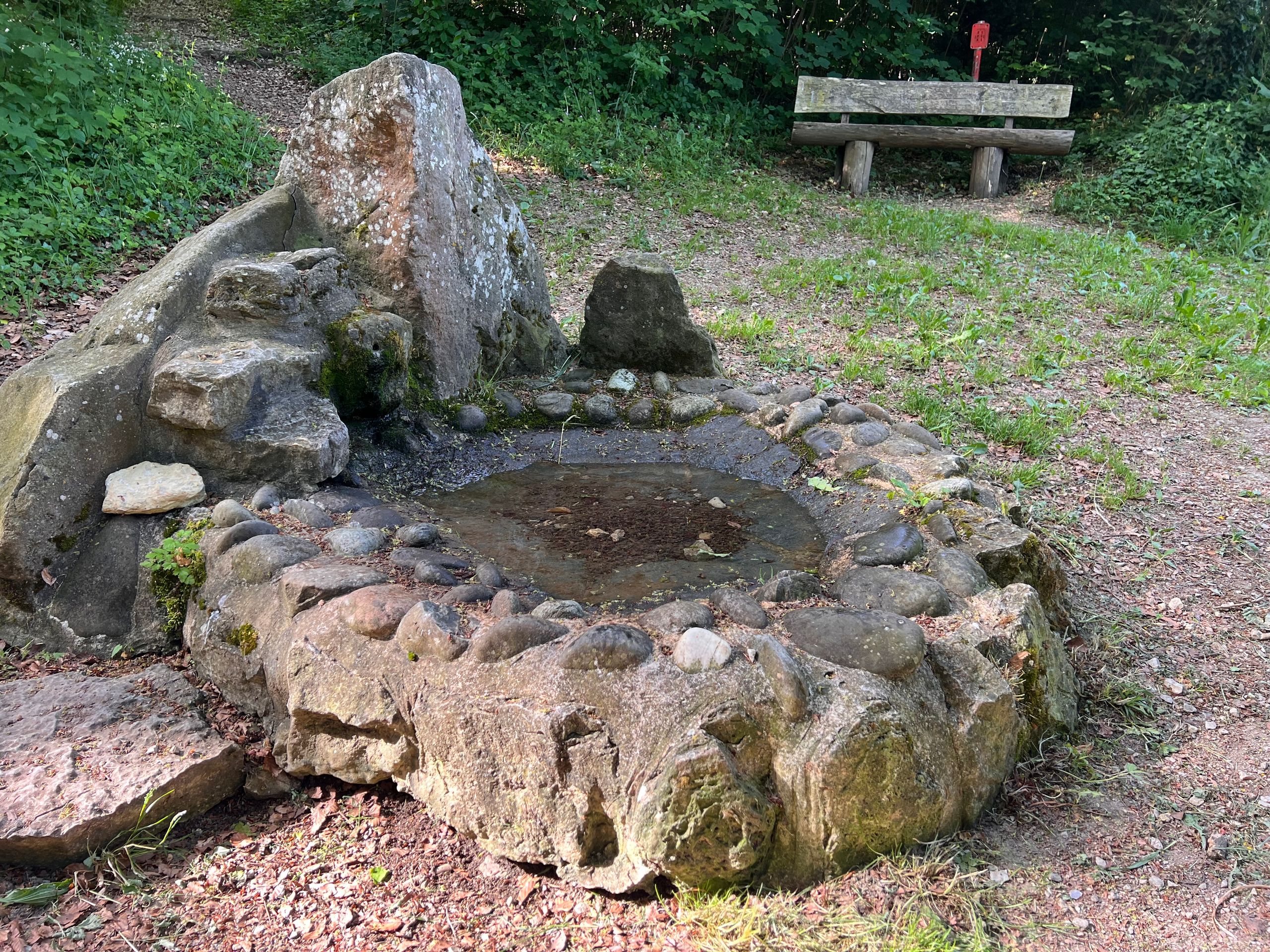
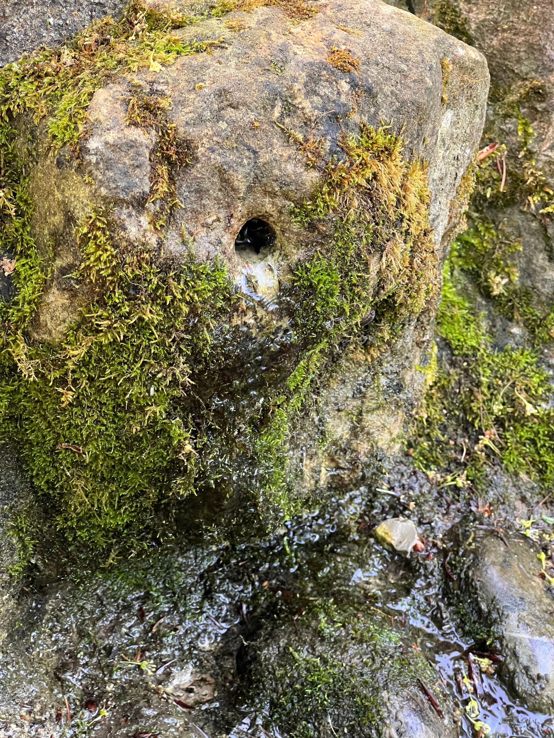
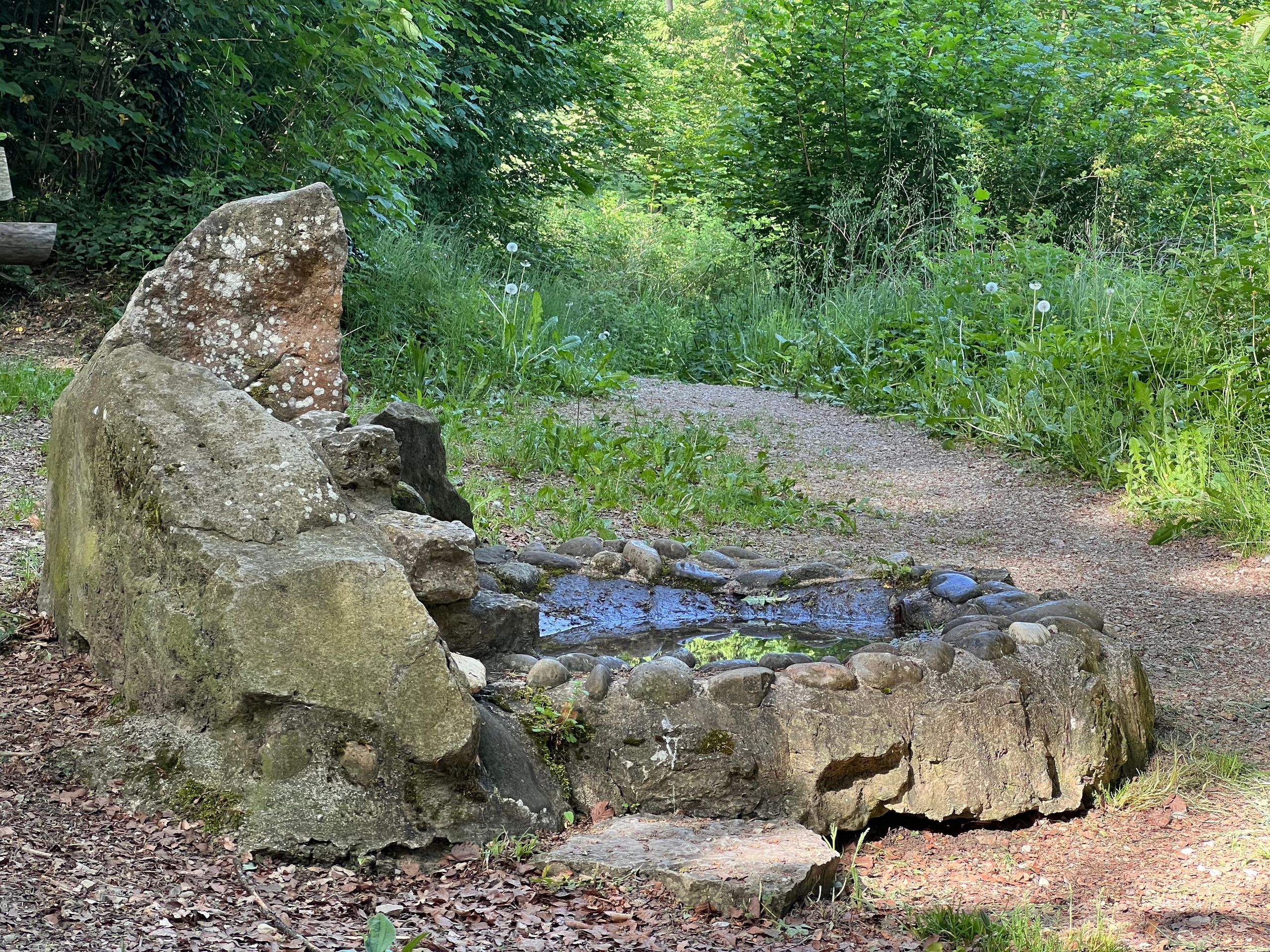
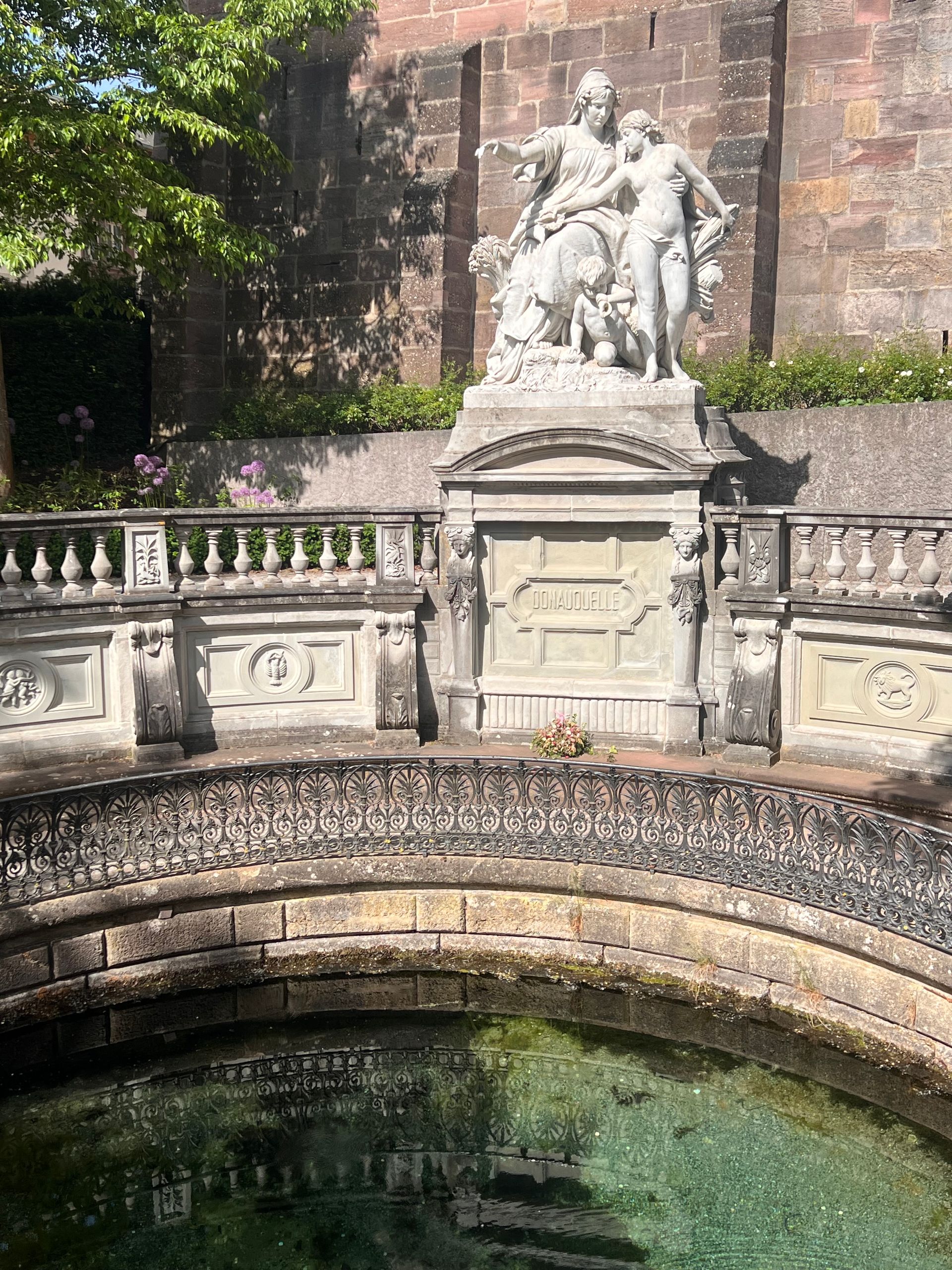
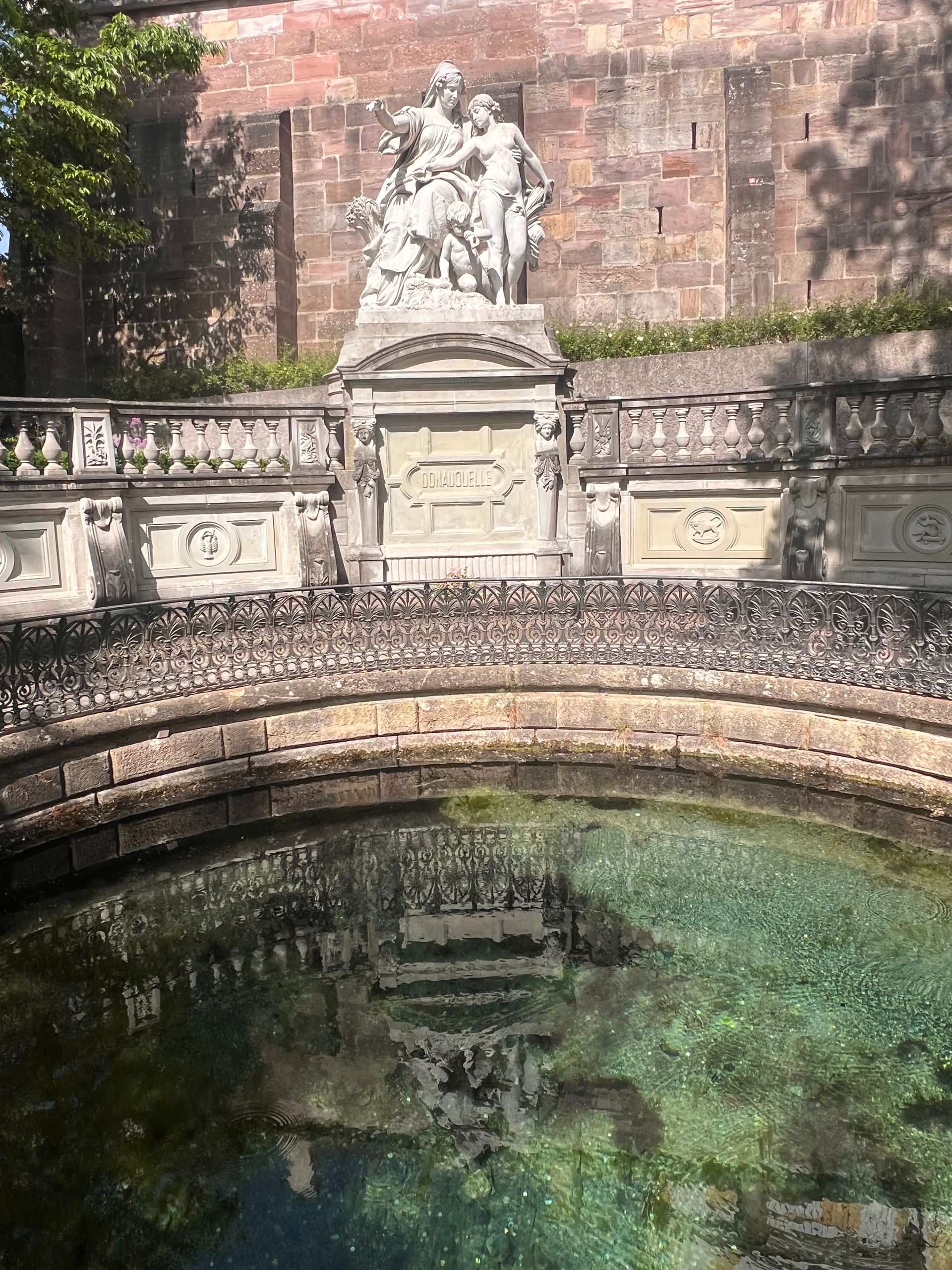
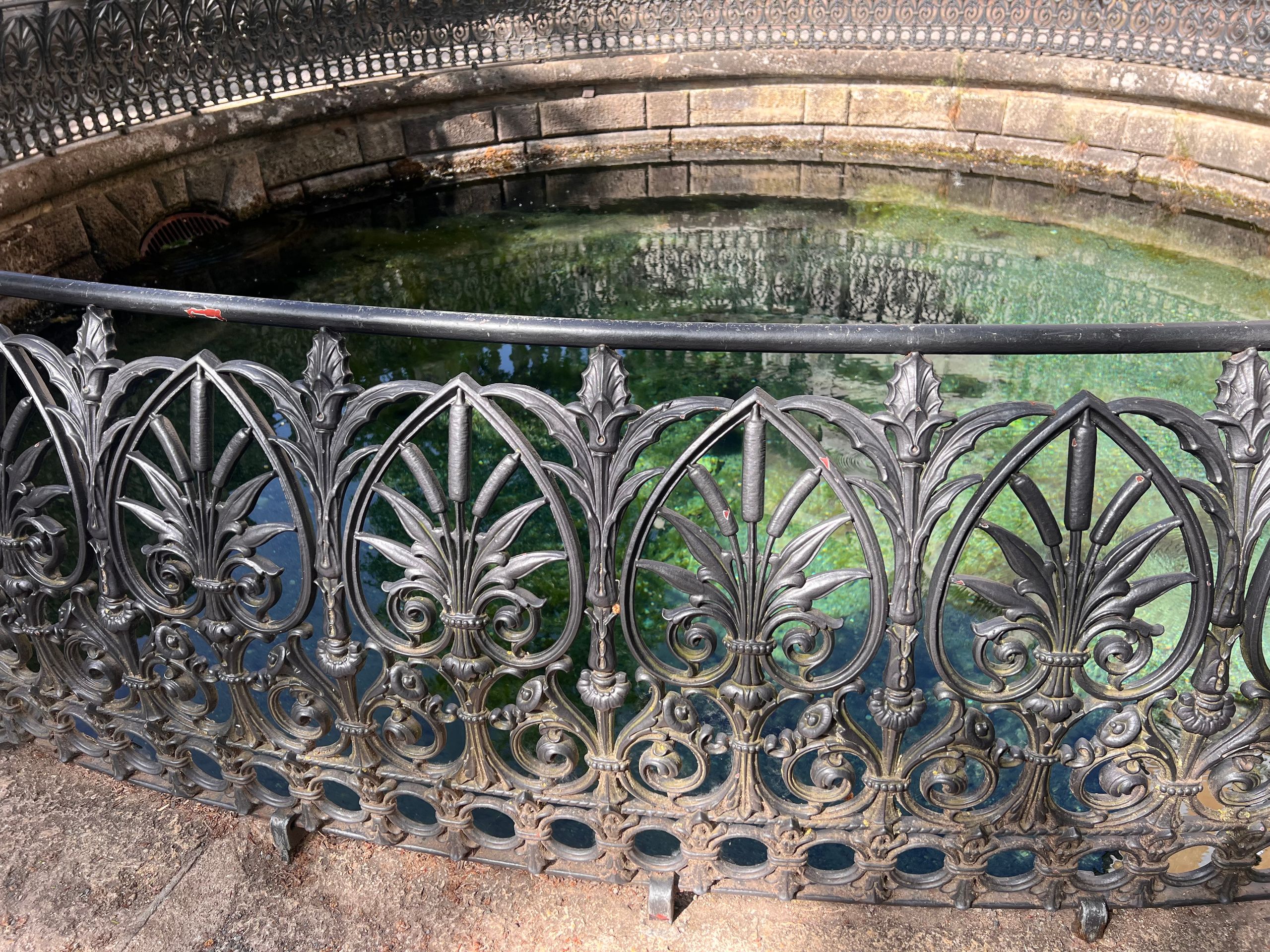
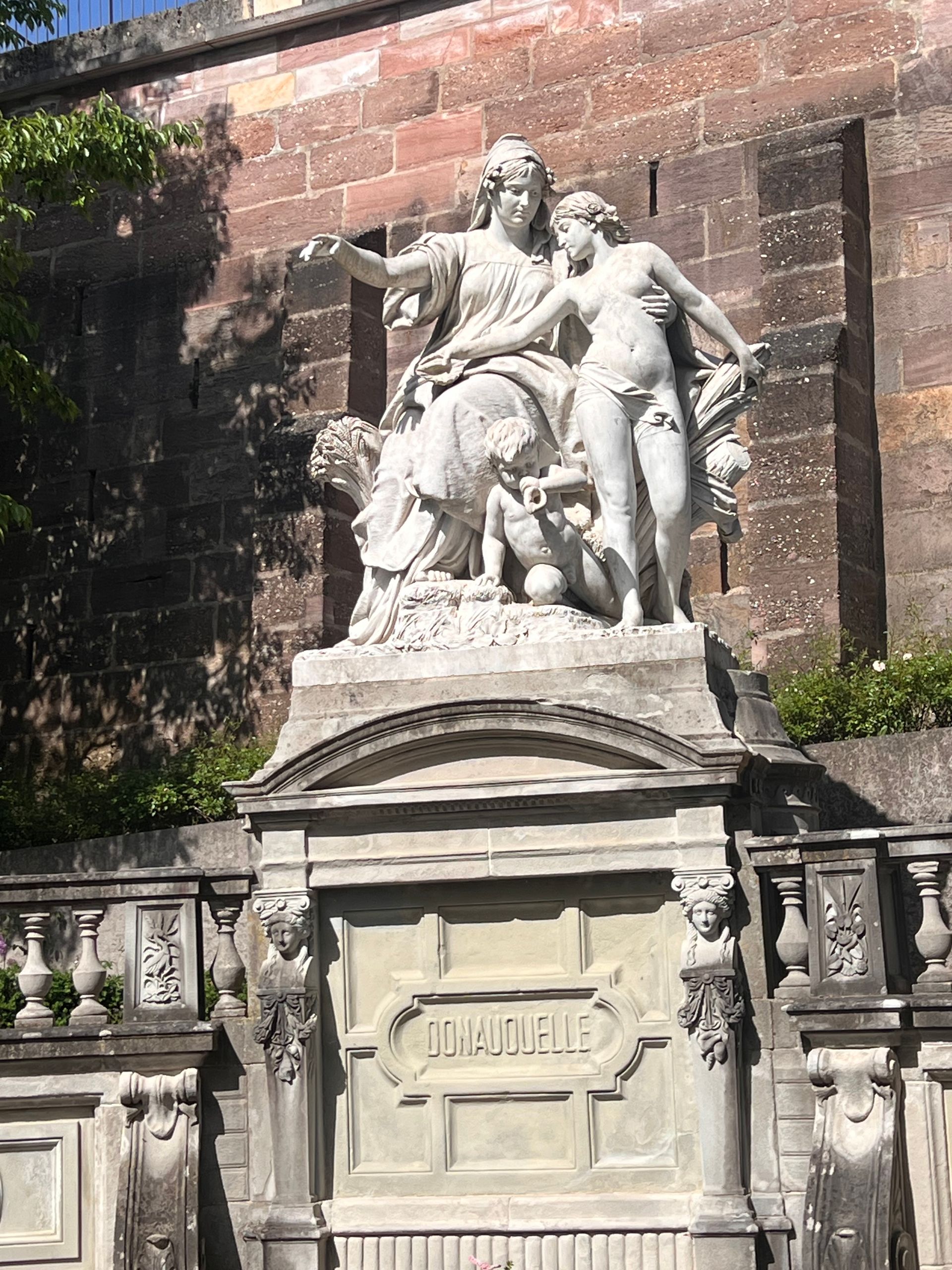
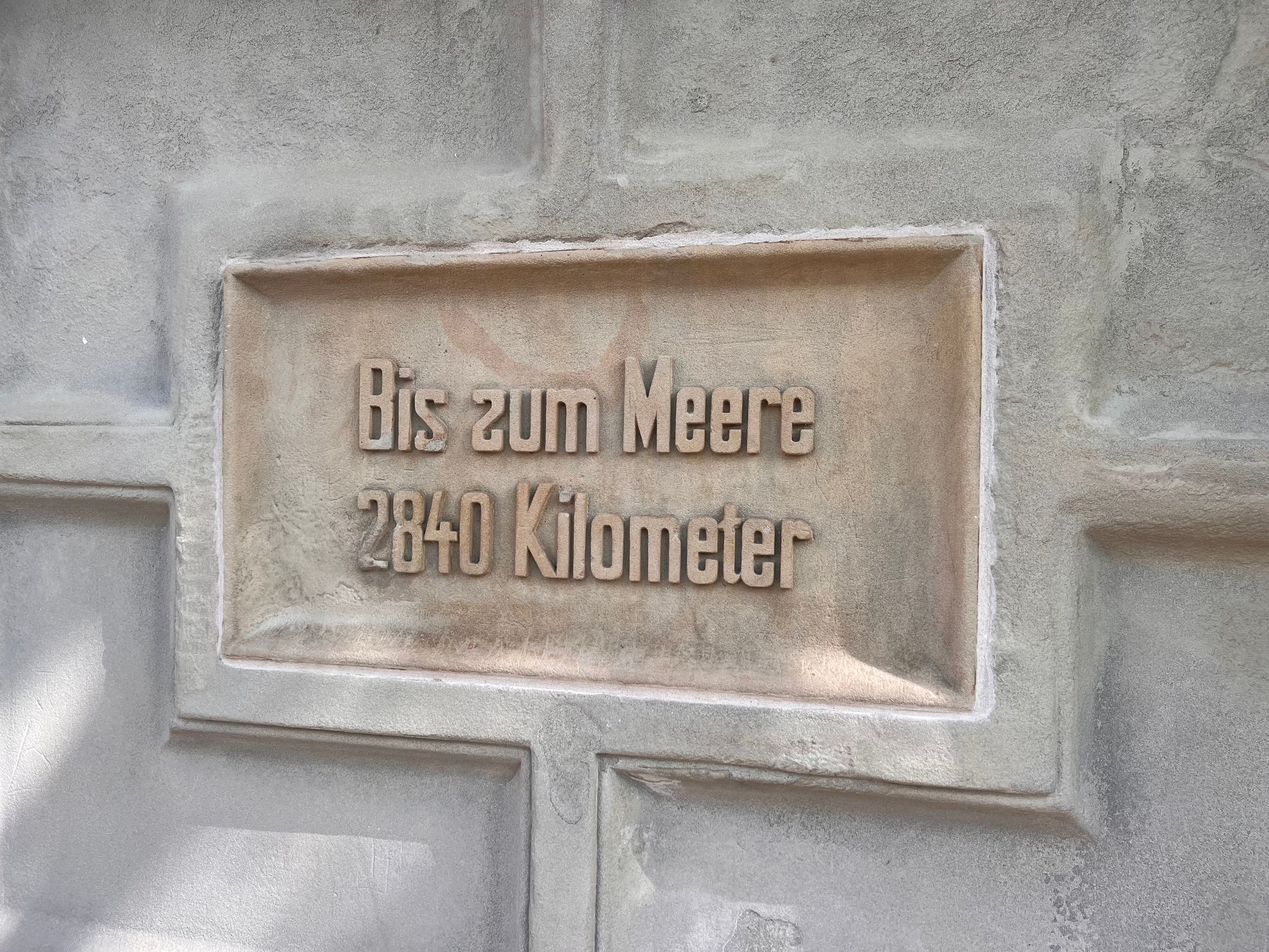
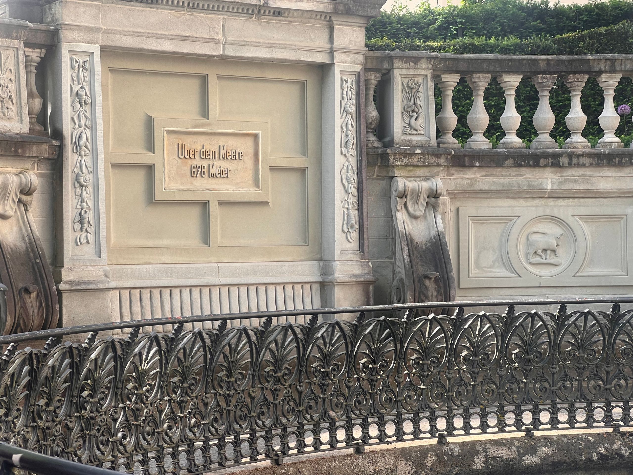
Given that there have already been many disputes and scientific discussions regarding the actual source of the Danube, I was curious as to why this particular location is considered to be it. The source is actually quite inconspicuous when you think about what it eventually becomes.
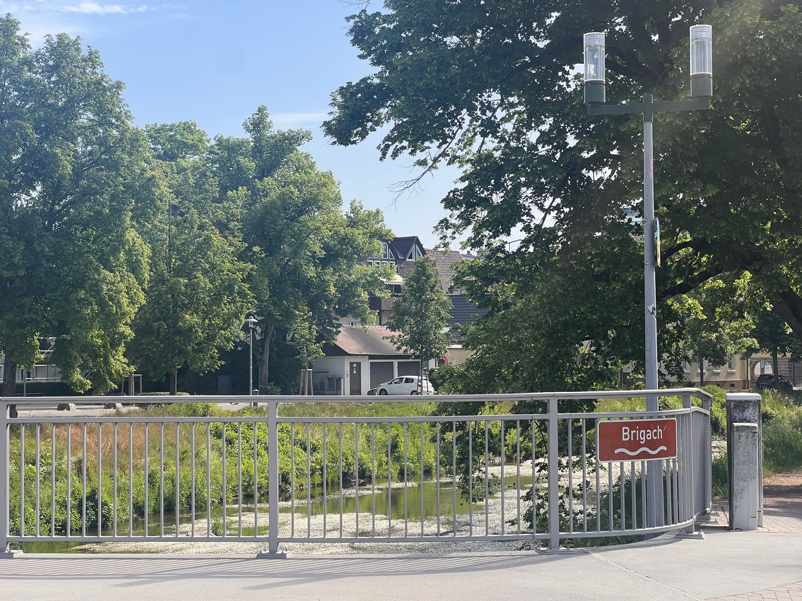
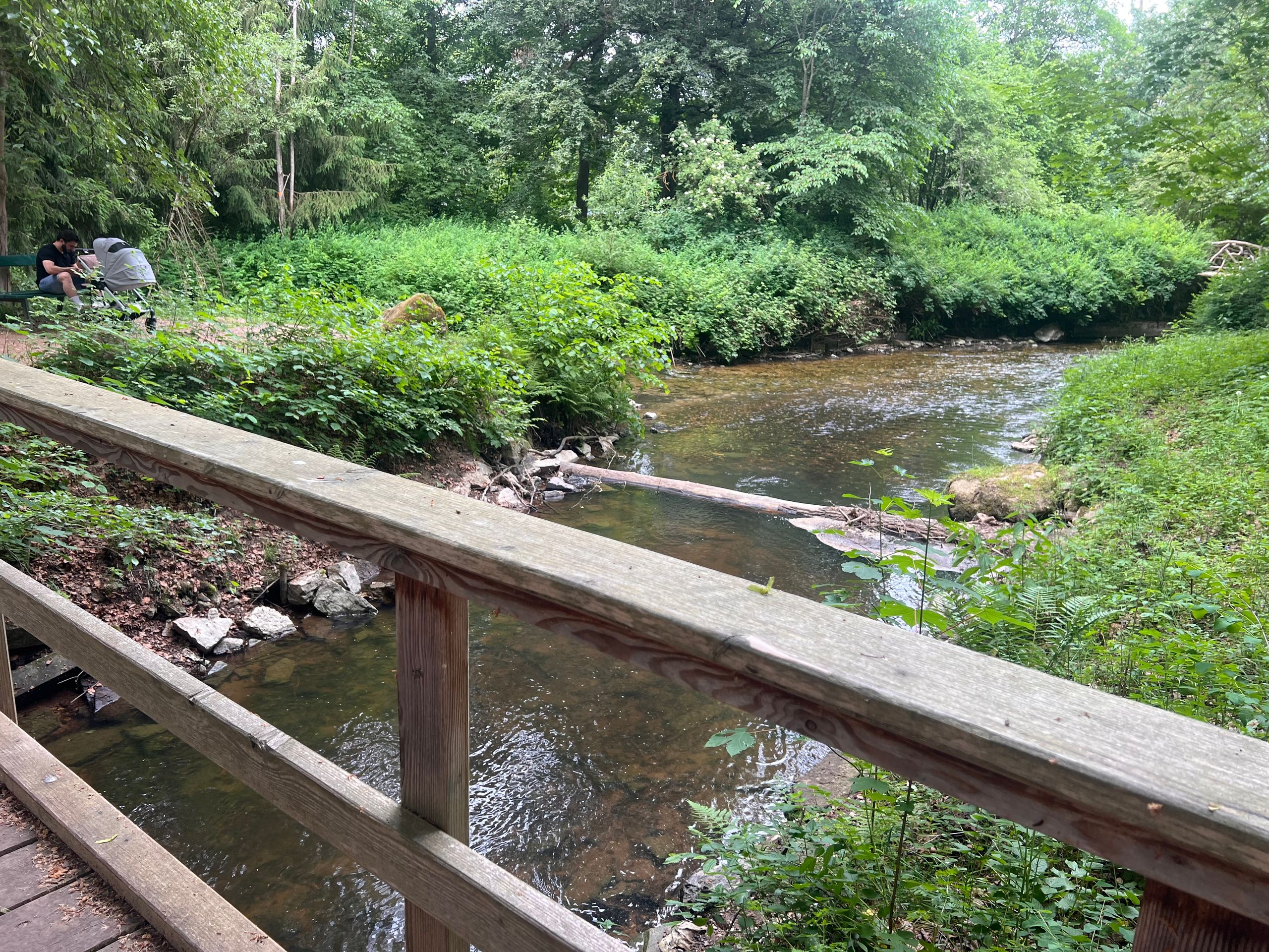
The water from this spring flows underground through the Fürstenpark, where the (truly small) Danube merges with the Brigach. Shortly thereafter, the Breg also joins in. From this point onward, the stream officially becomes the Danube. I was also curious about the origin of the name Danube: essentially, 'Danube' is said to simply mean 'river'. It’s as simple as that! I just wonder: shouldn’t more bodies of water be called Danube? 🤣
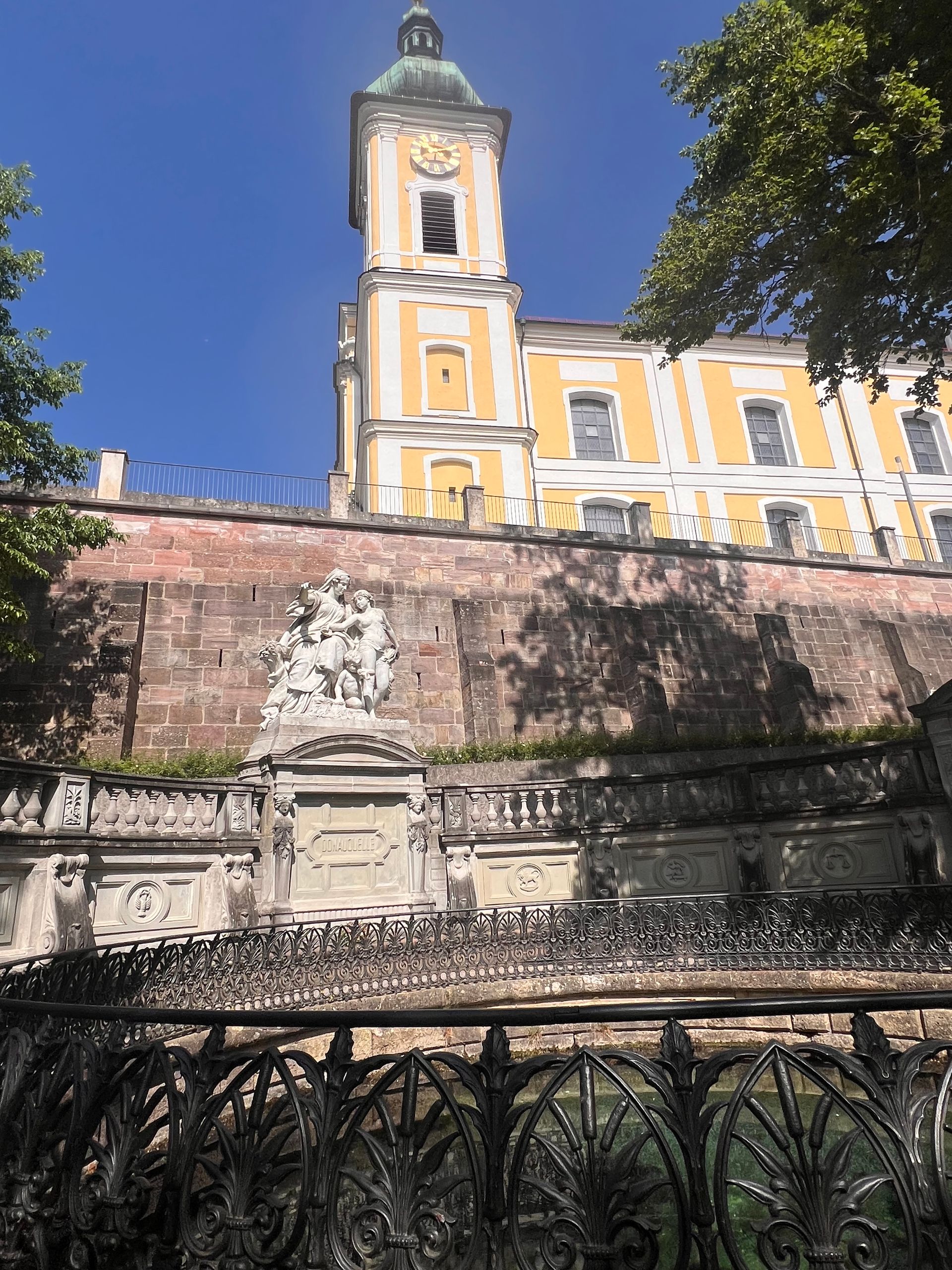
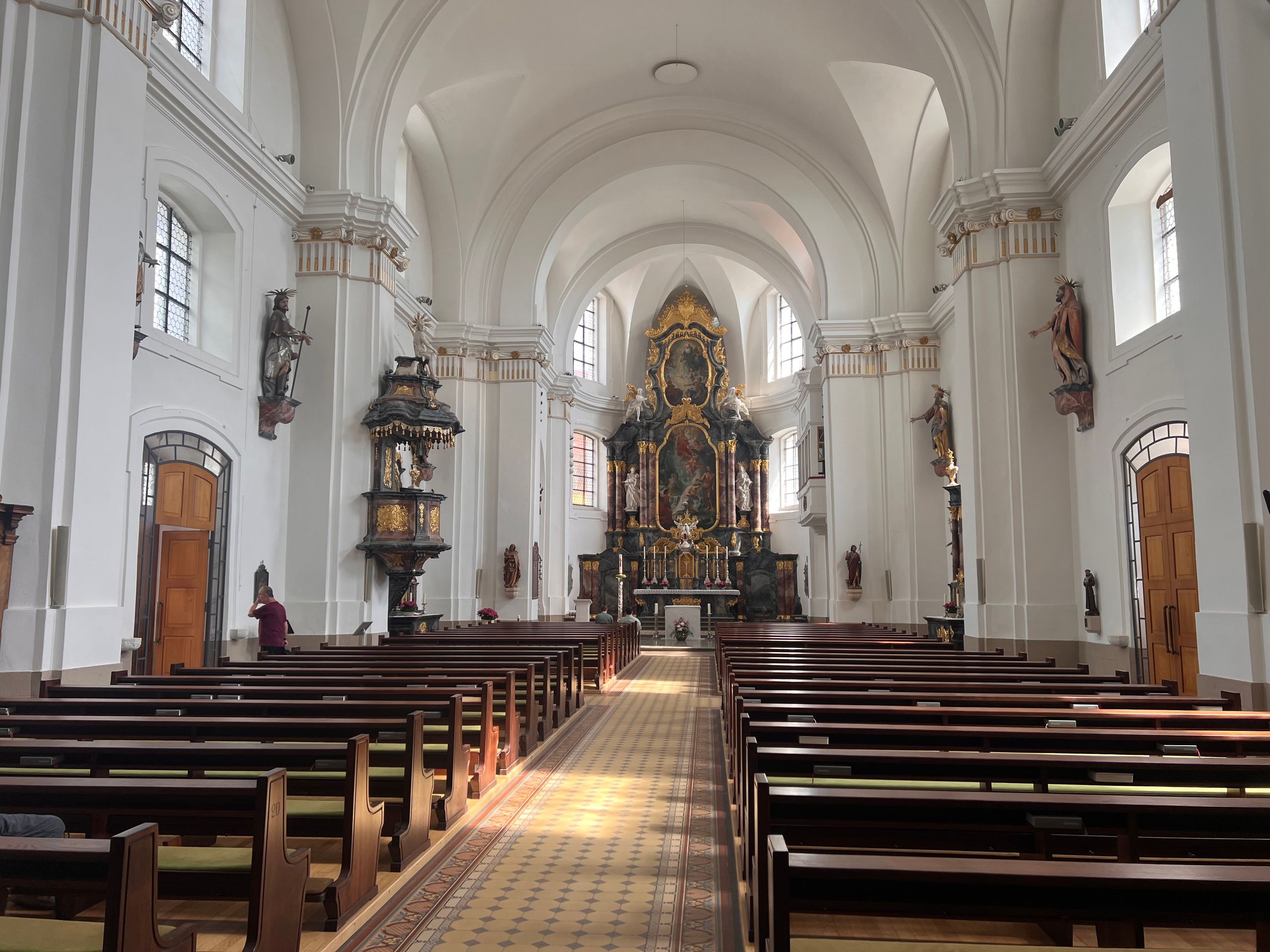
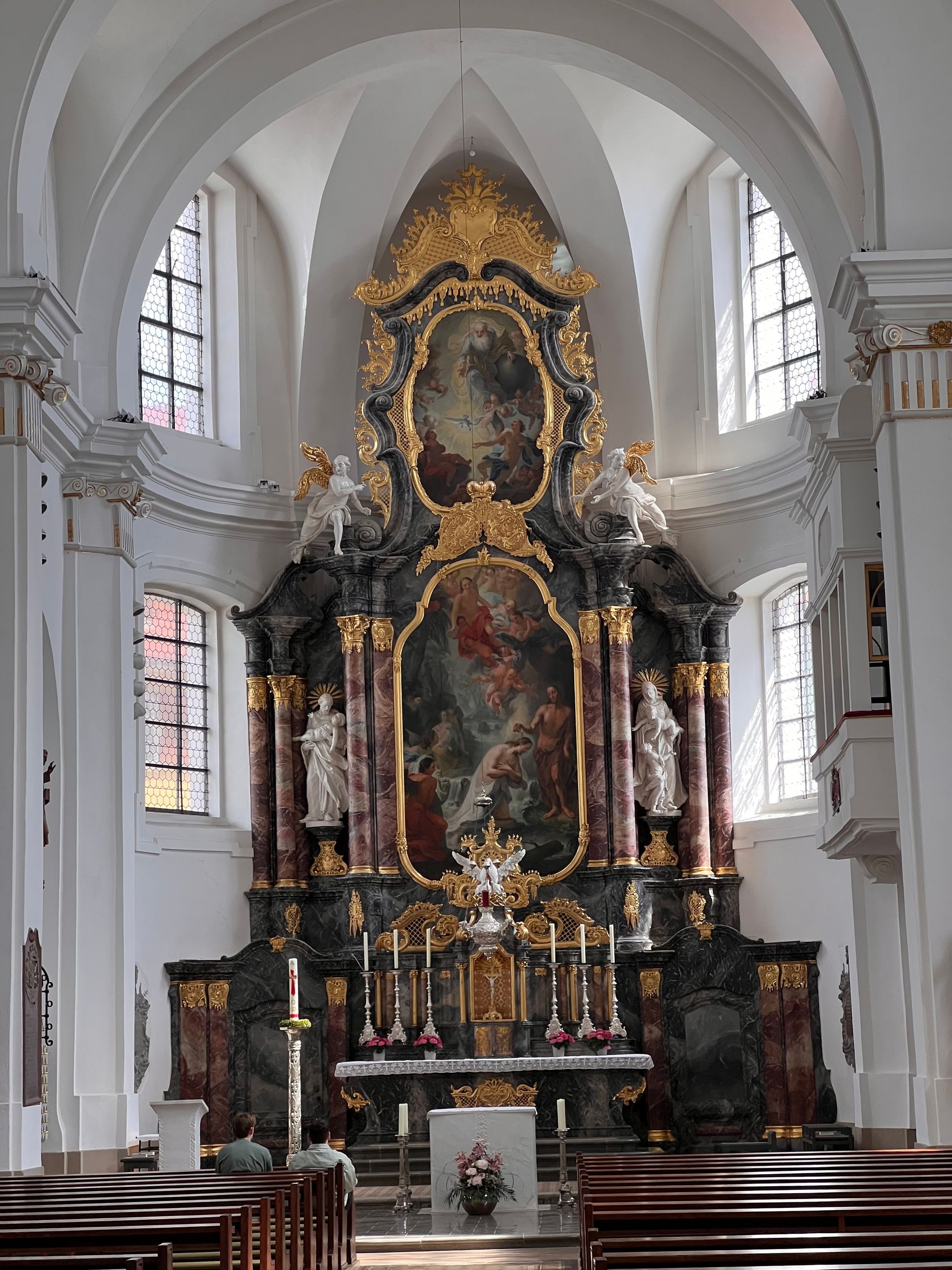
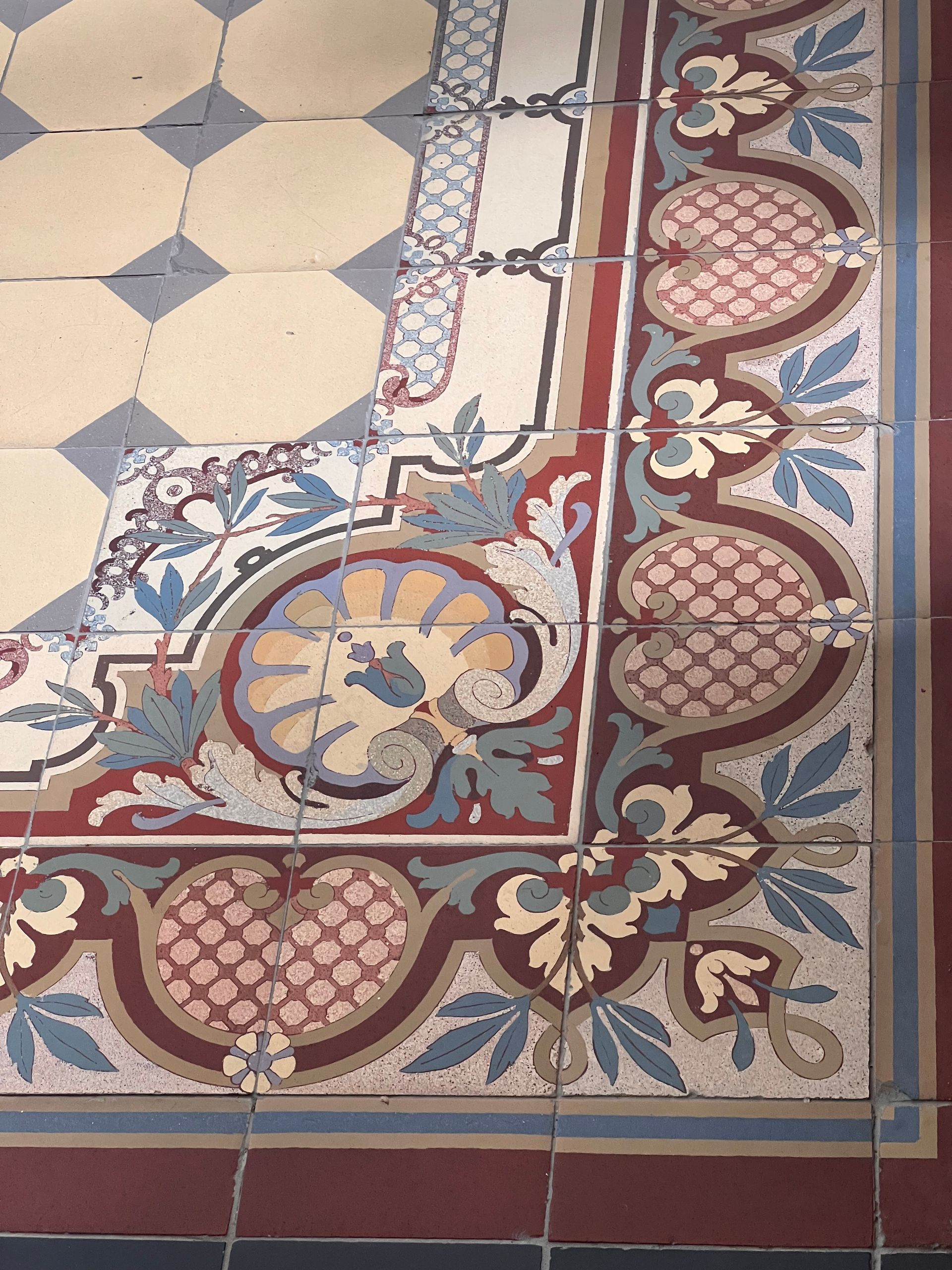
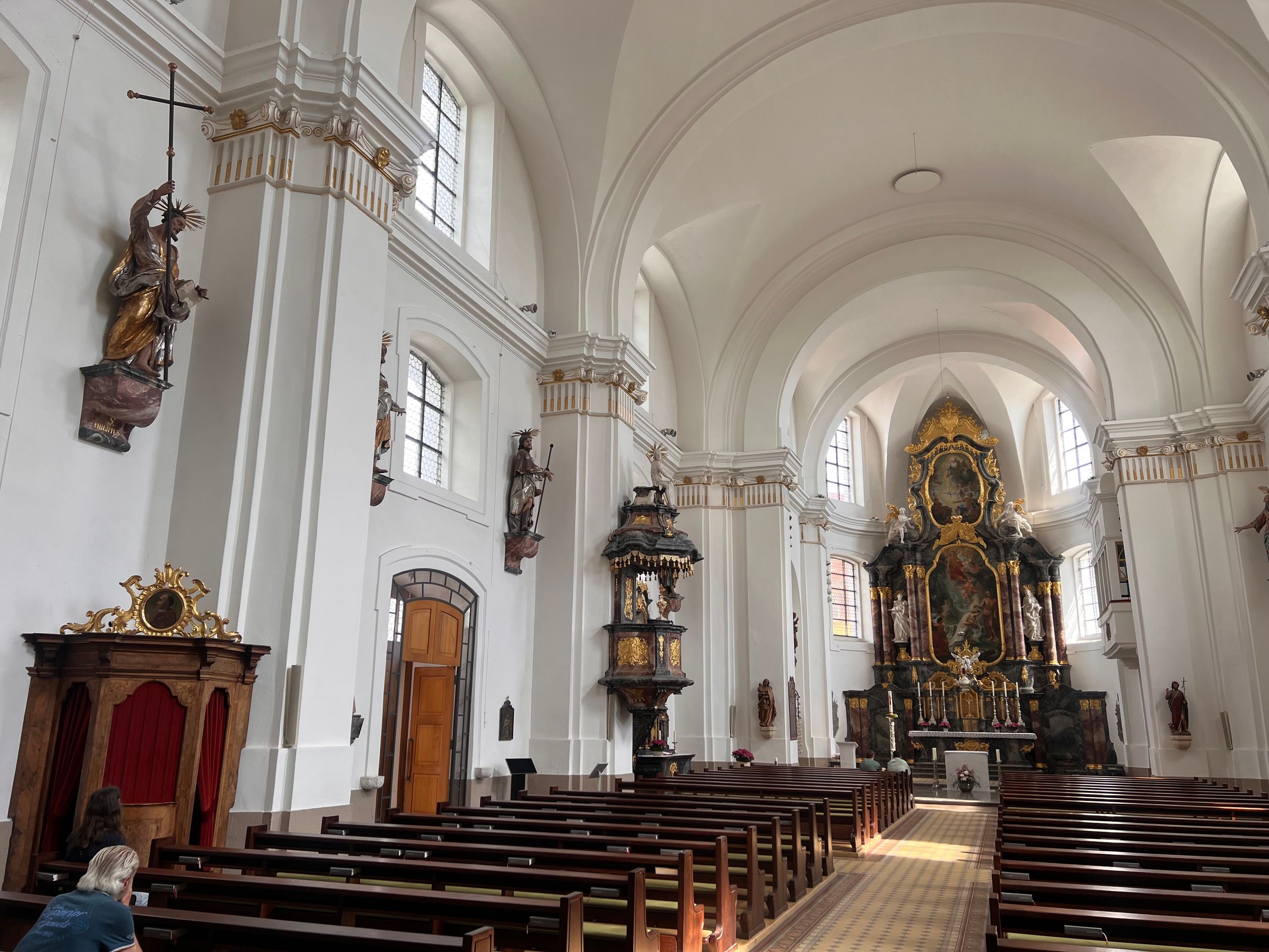
The tour was very entertaining and interesting. Afterwards, we visited the church, where I took a few photos.
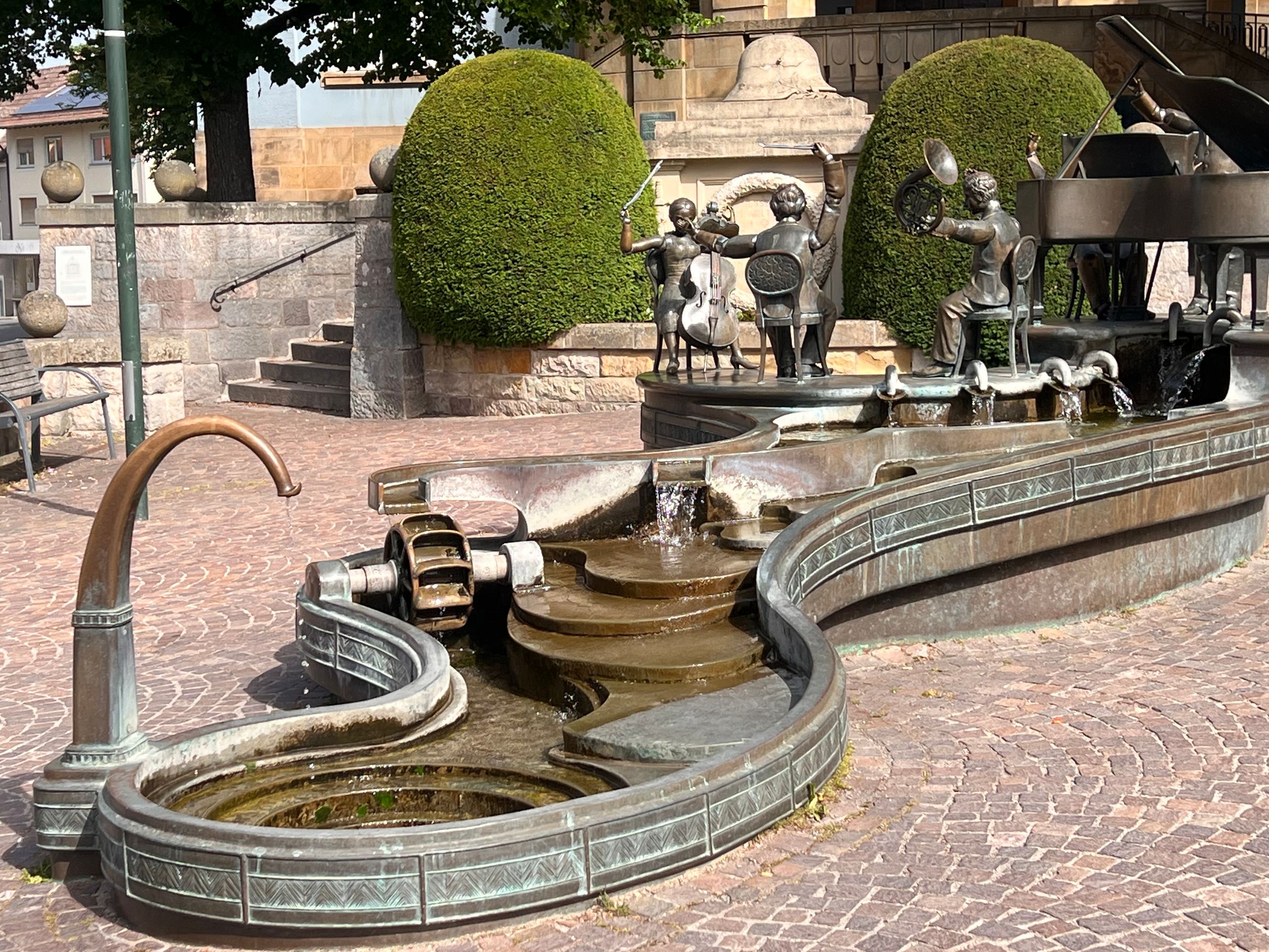
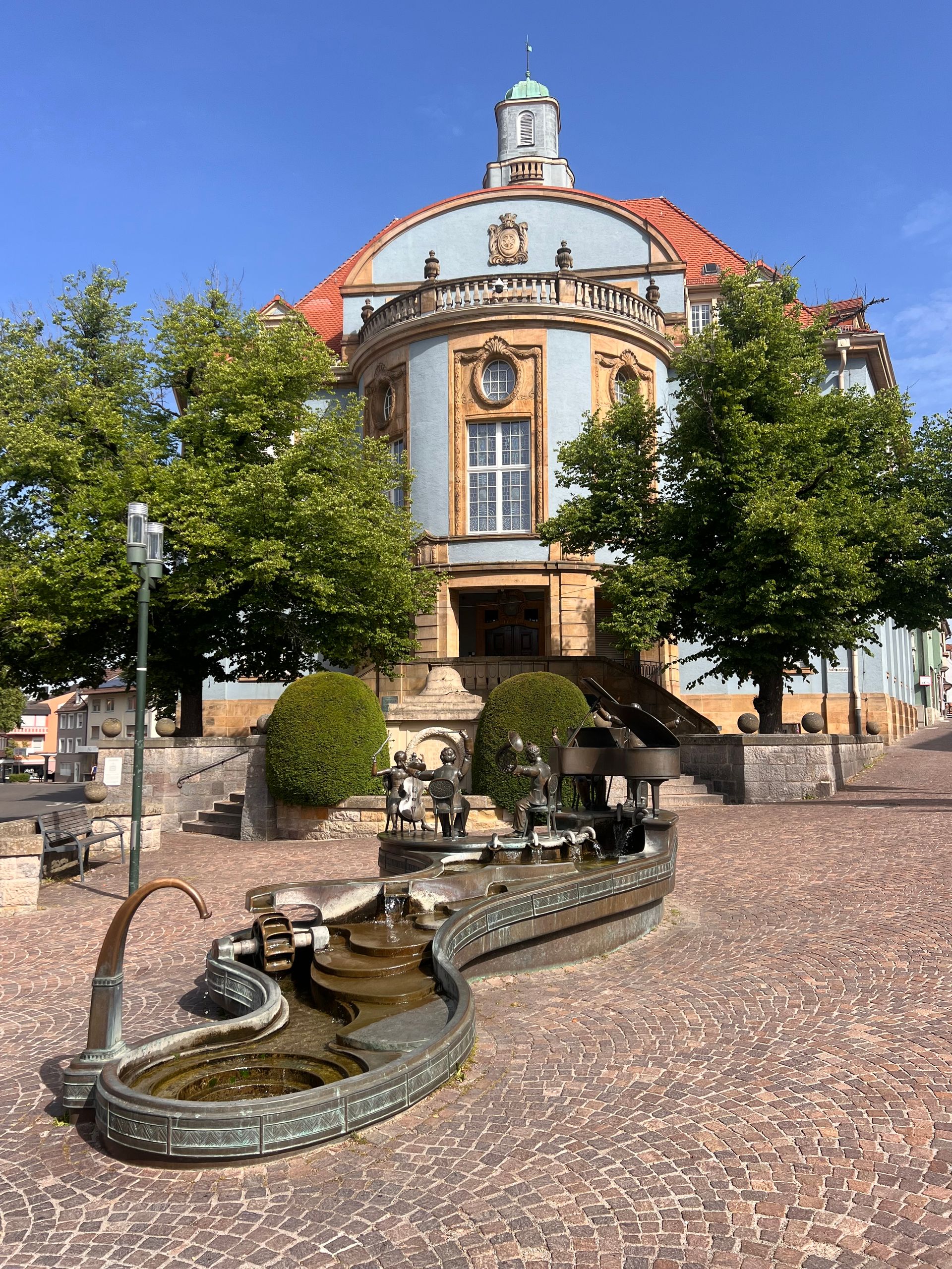
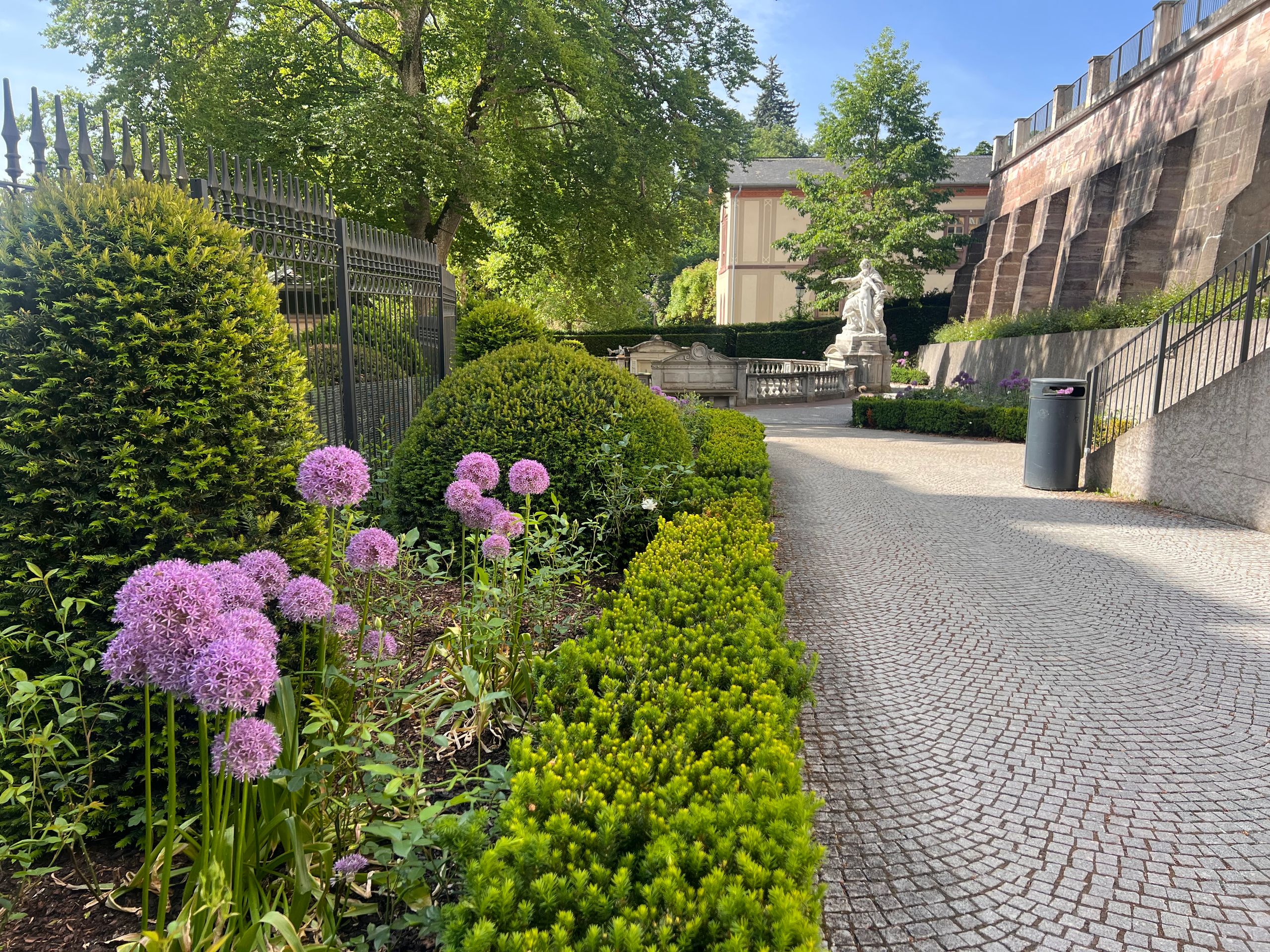
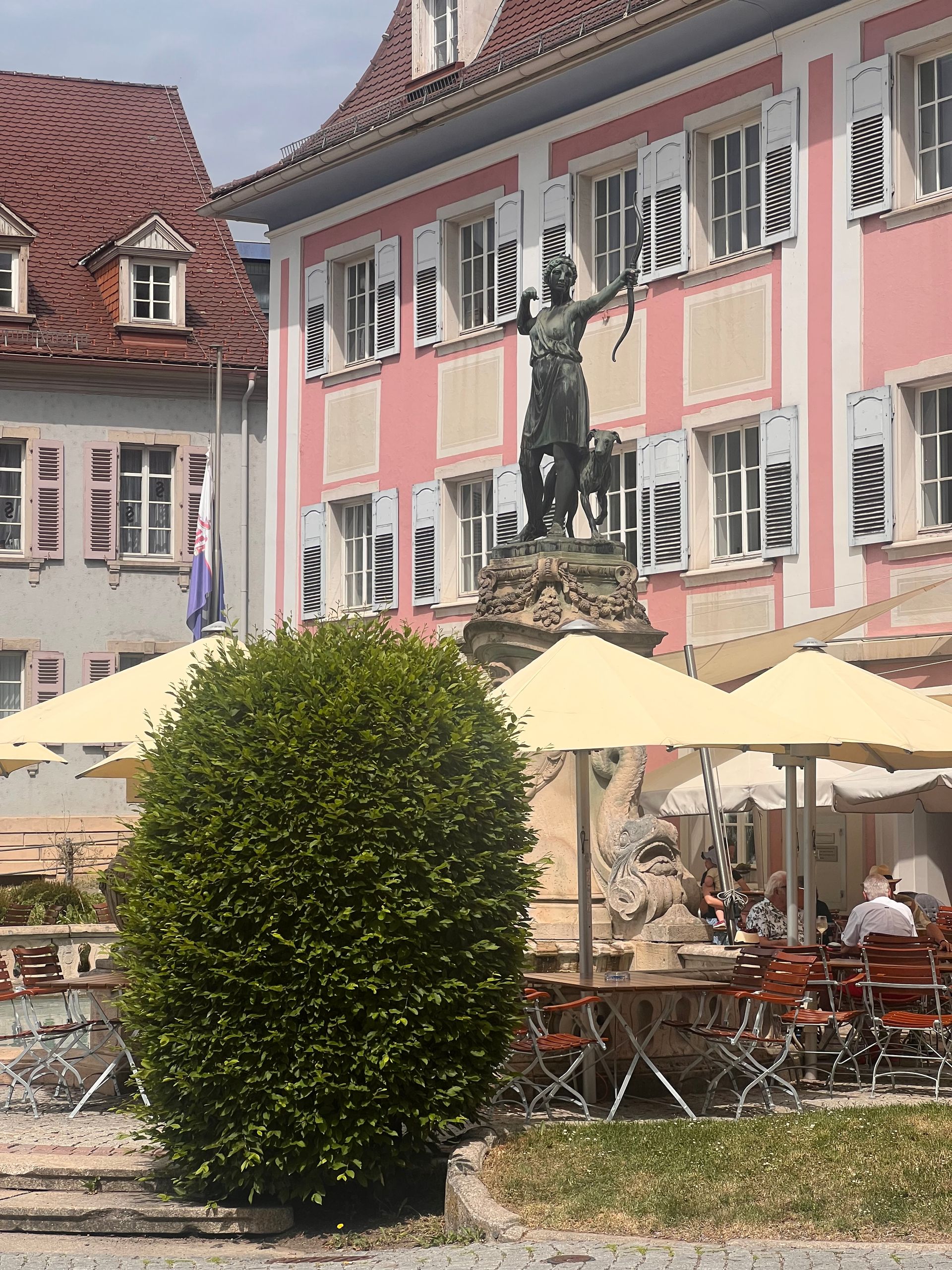
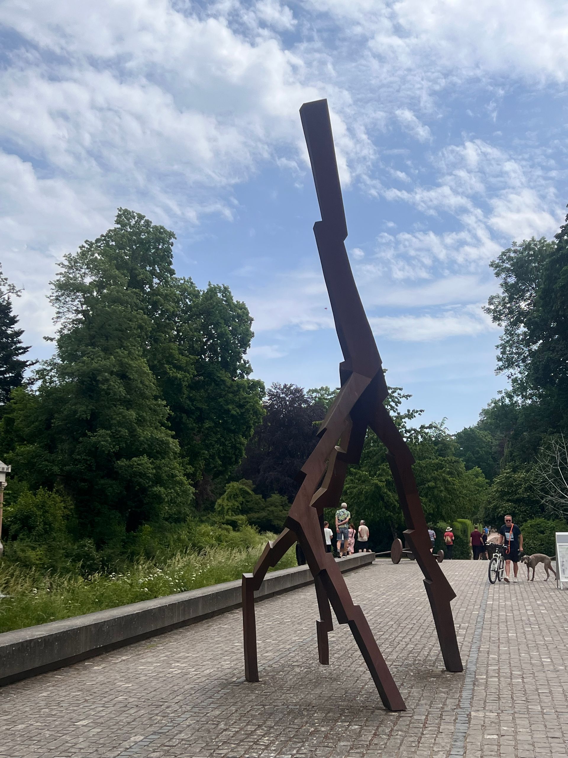
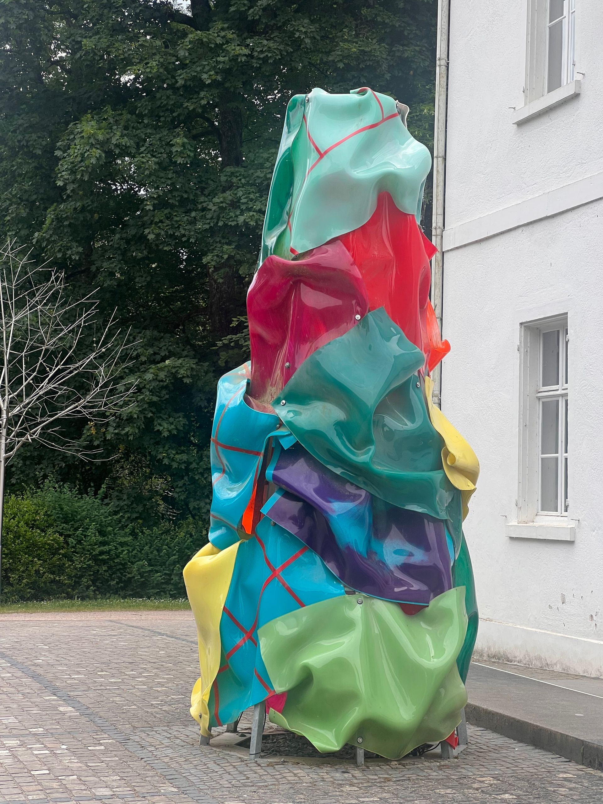
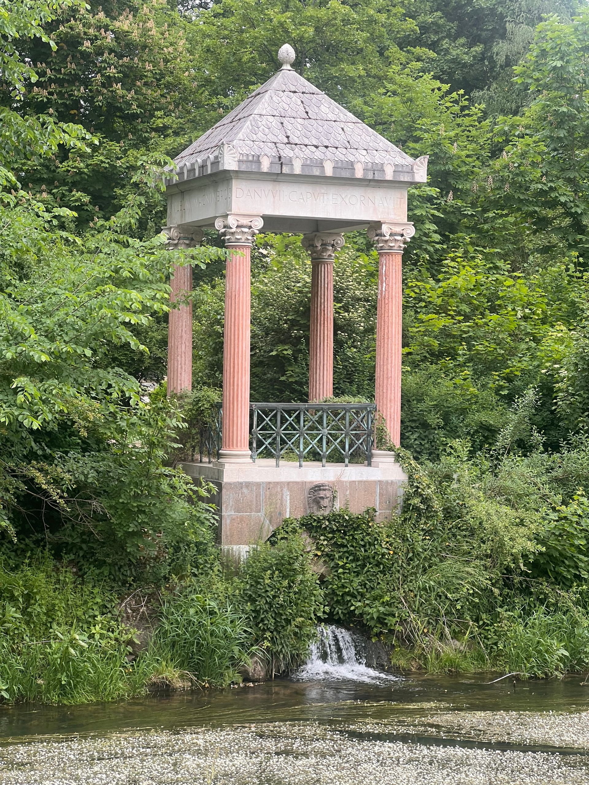
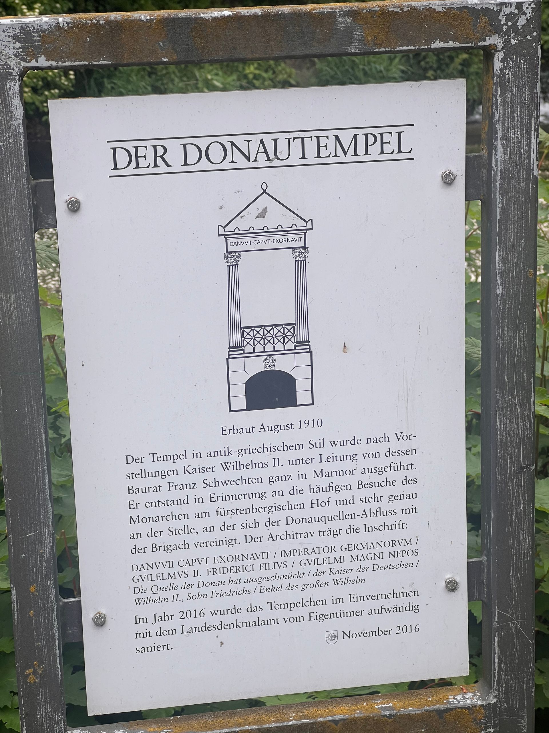
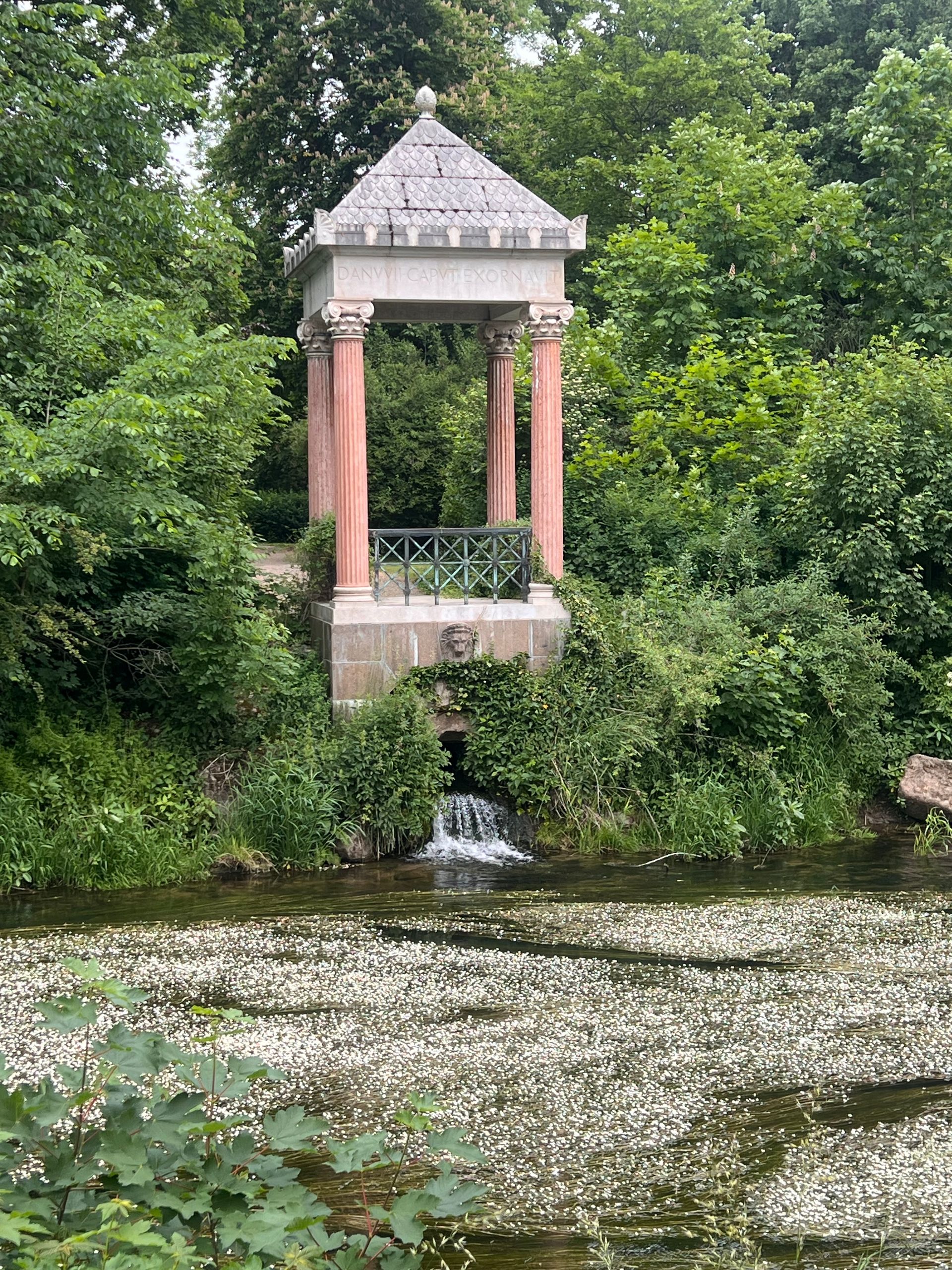
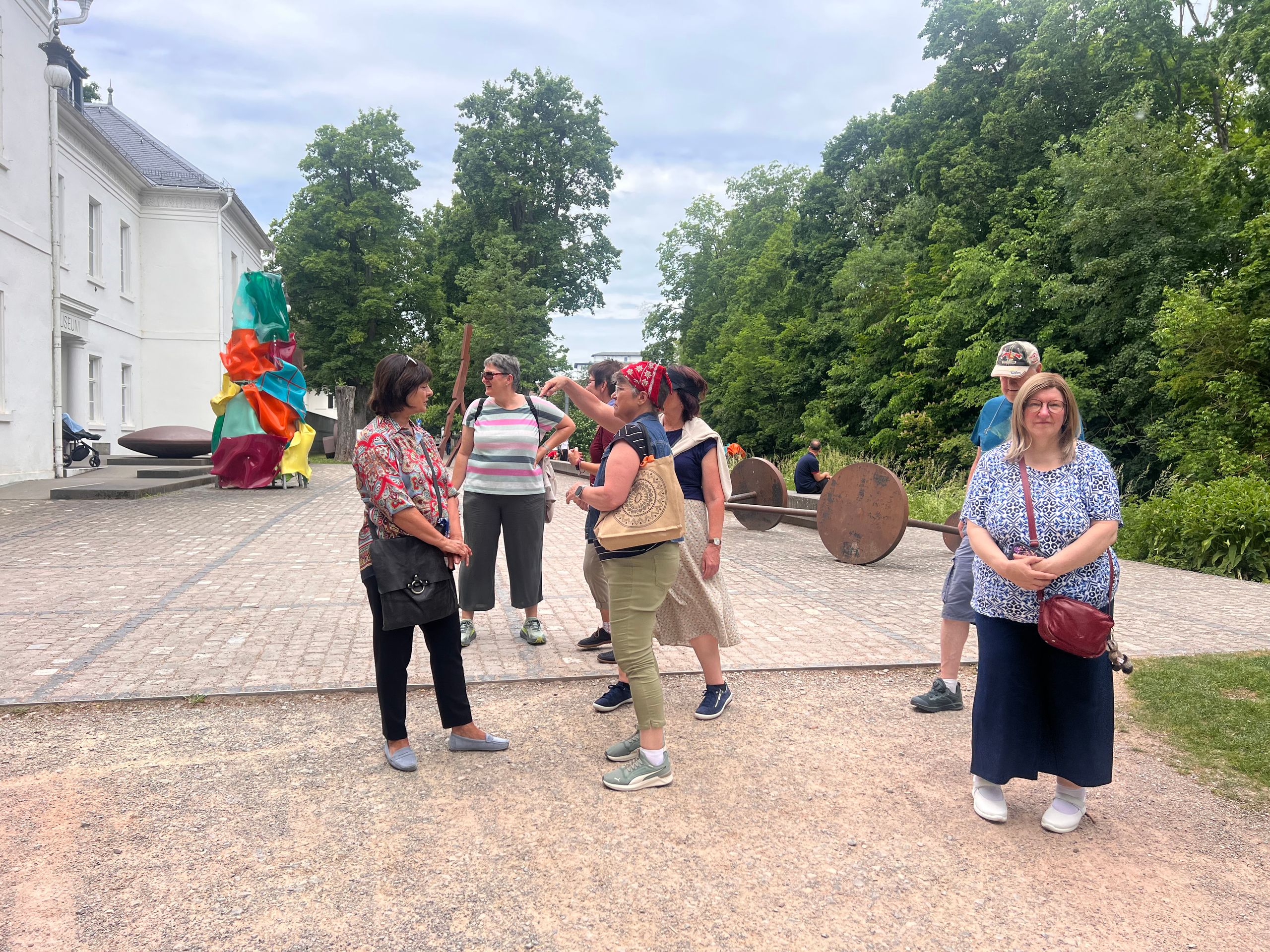
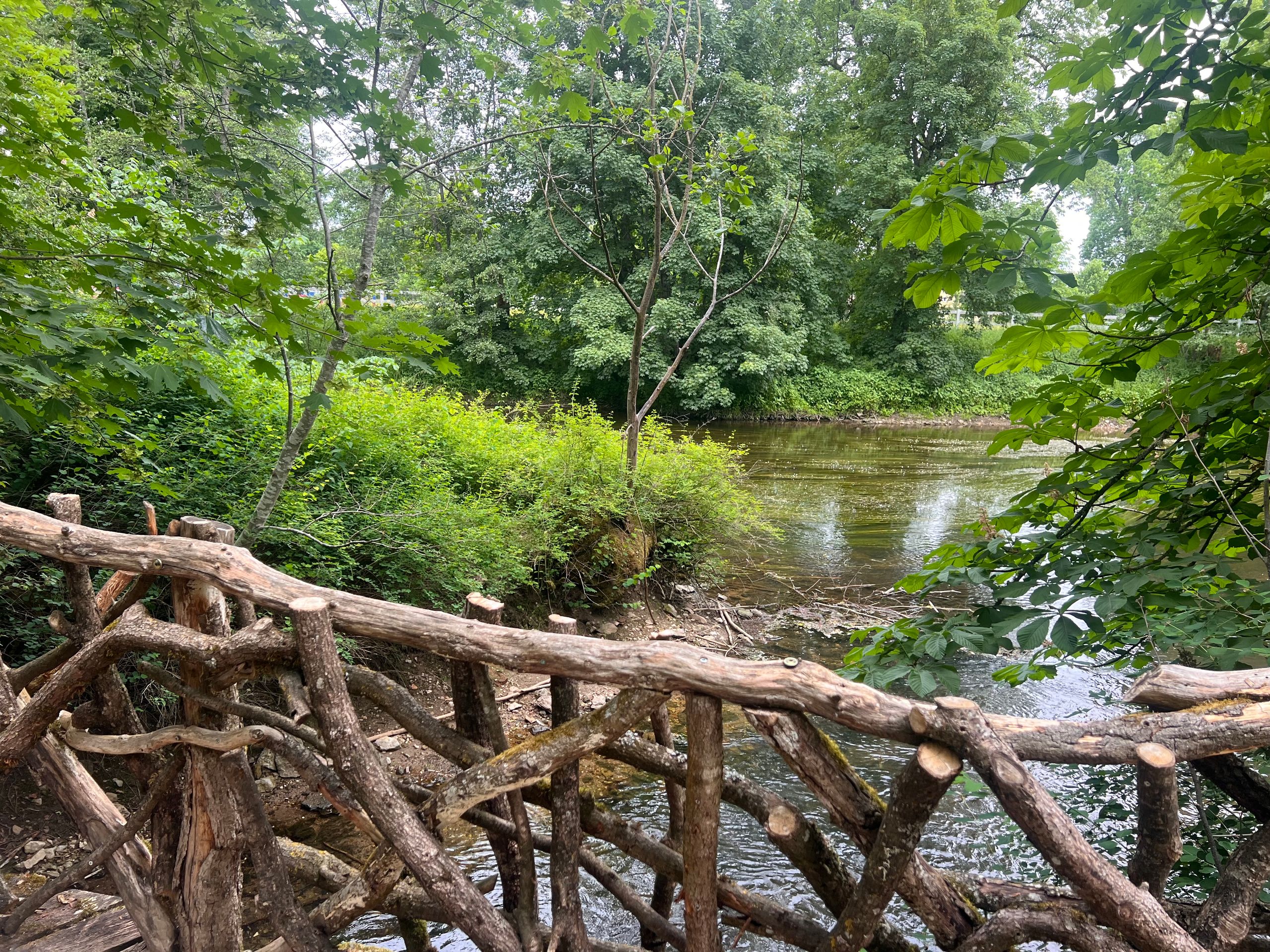
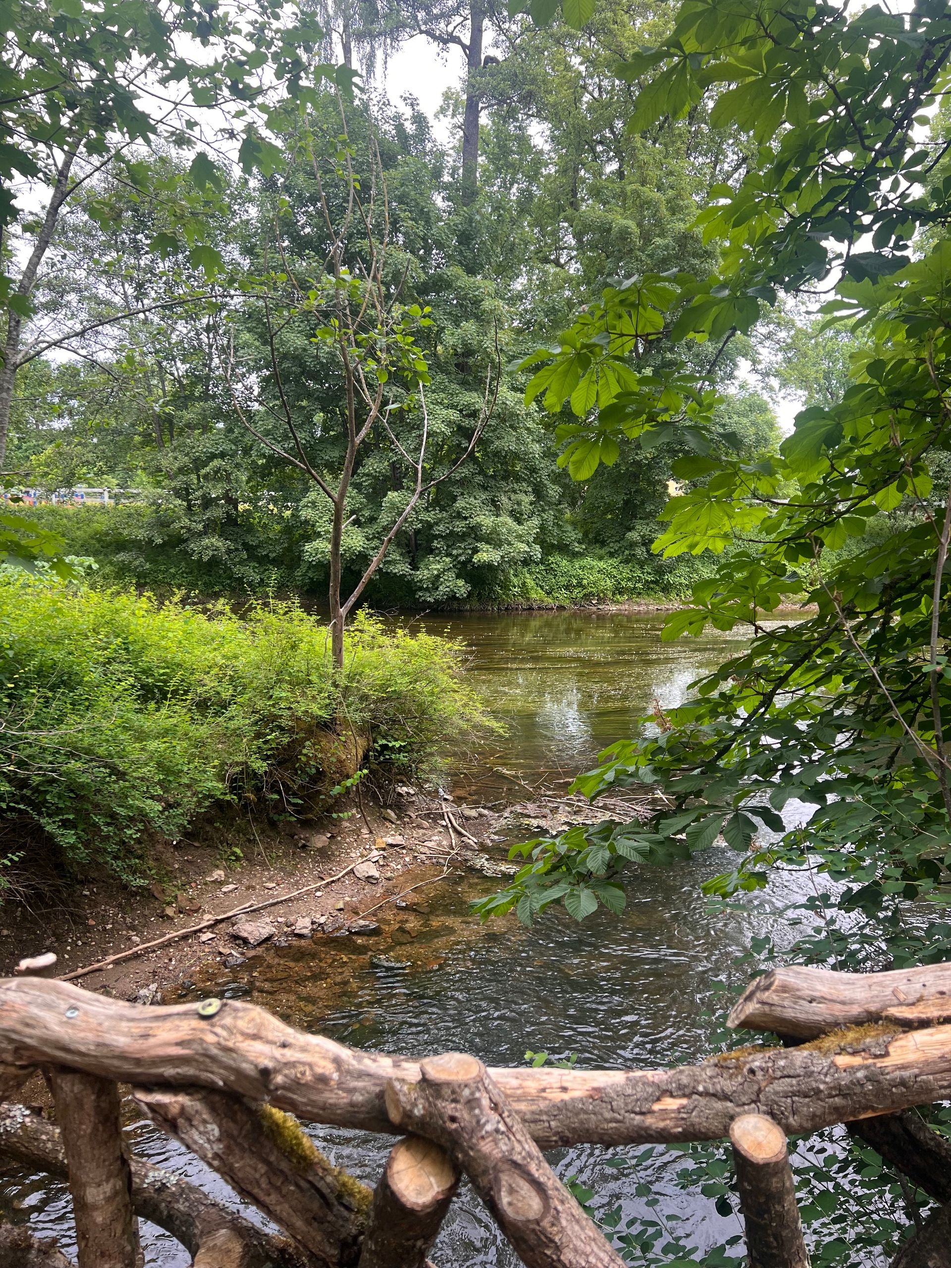
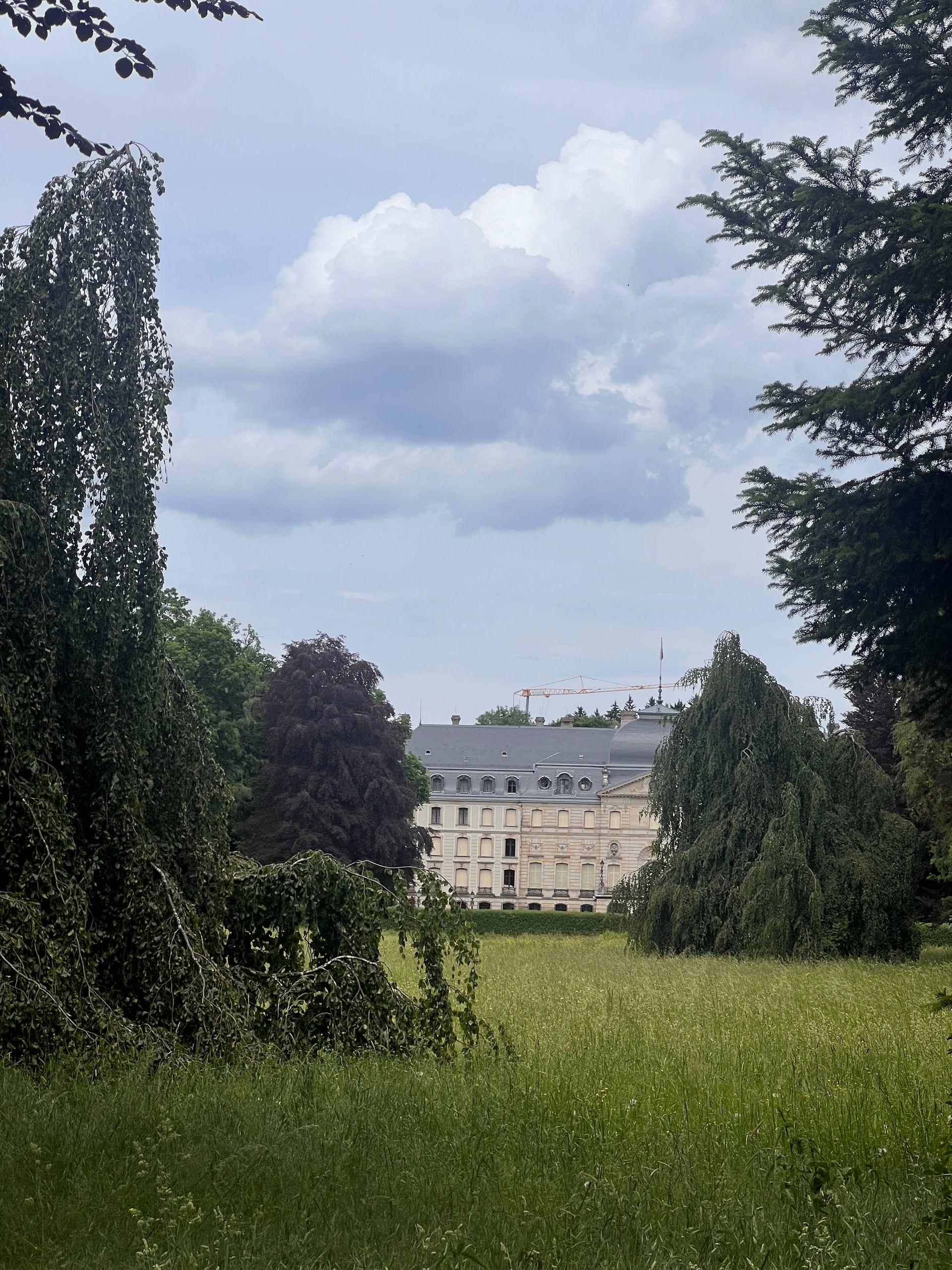
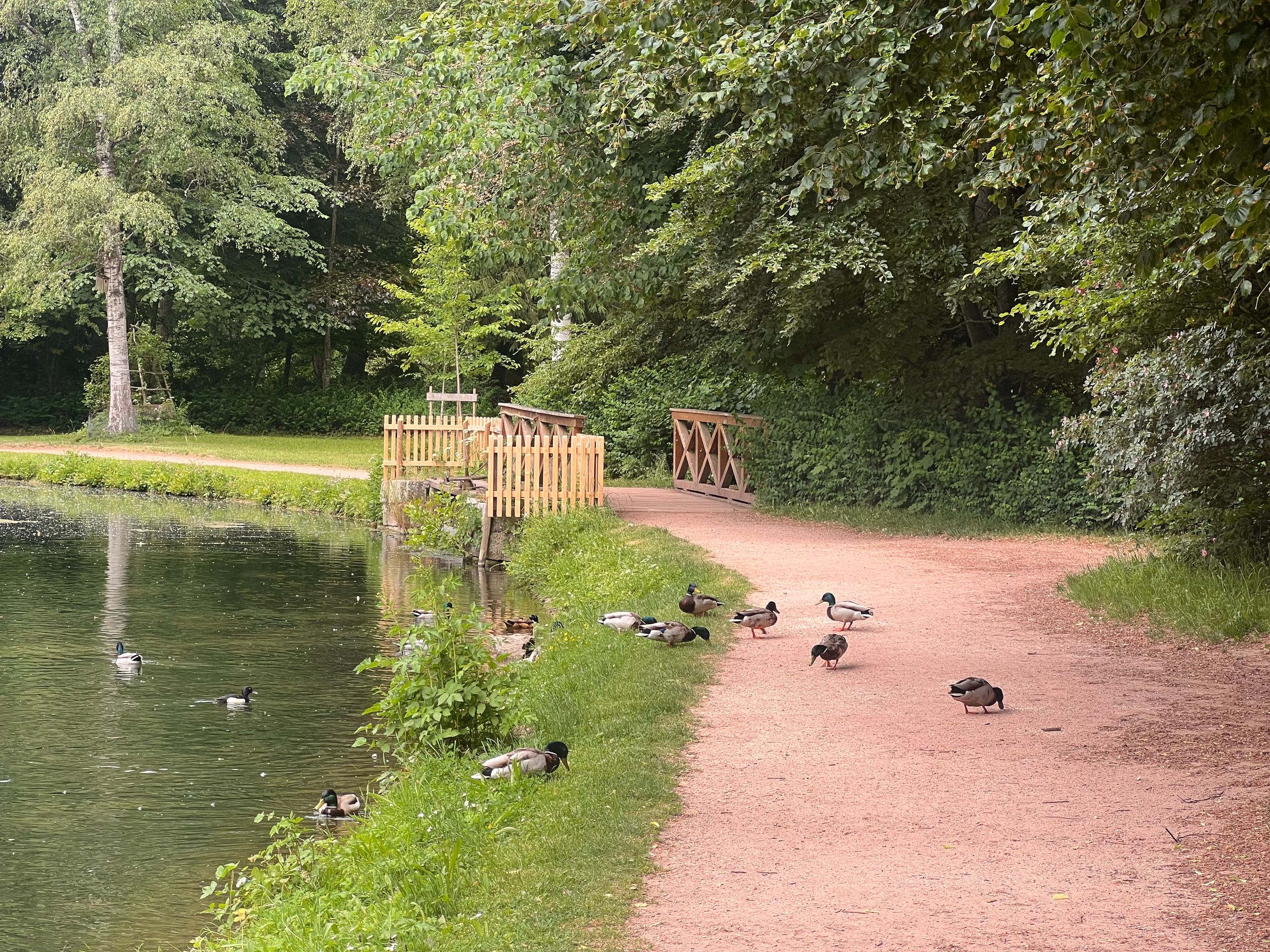
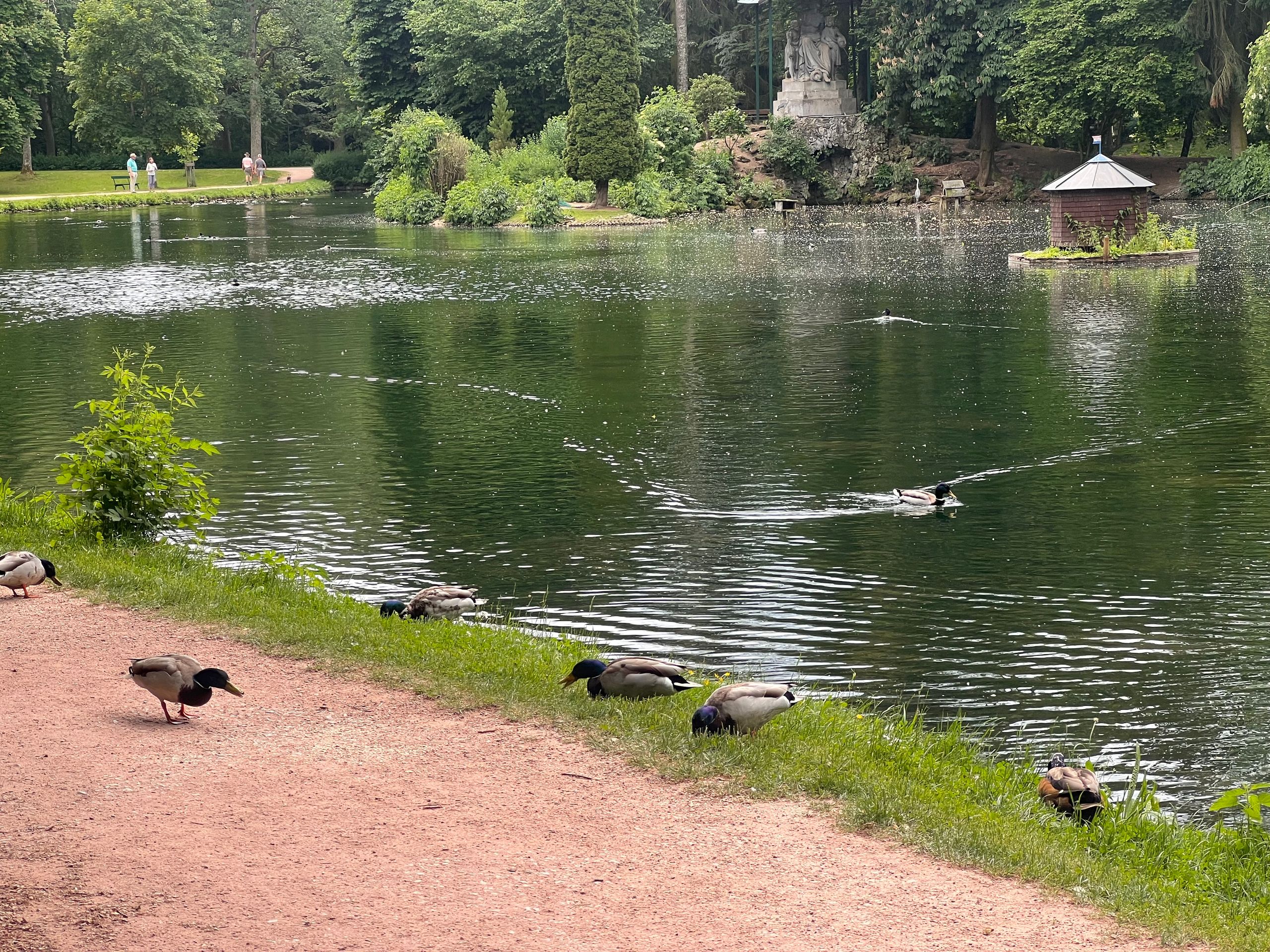
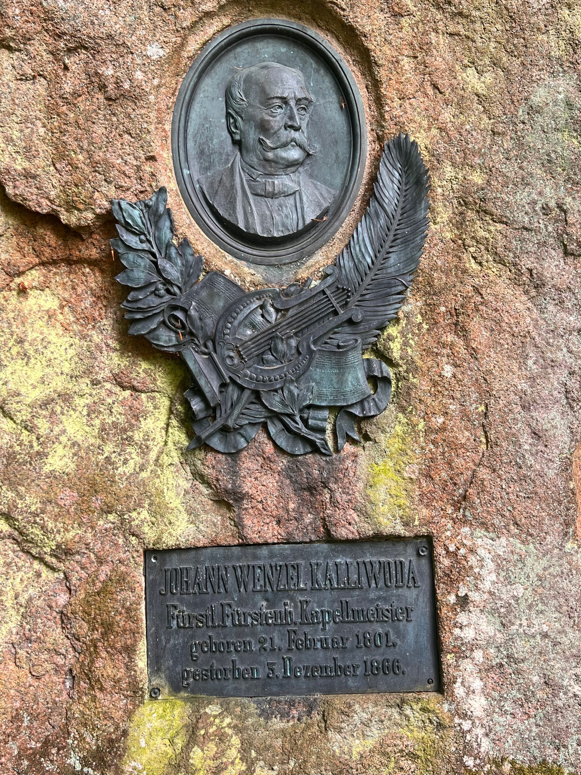
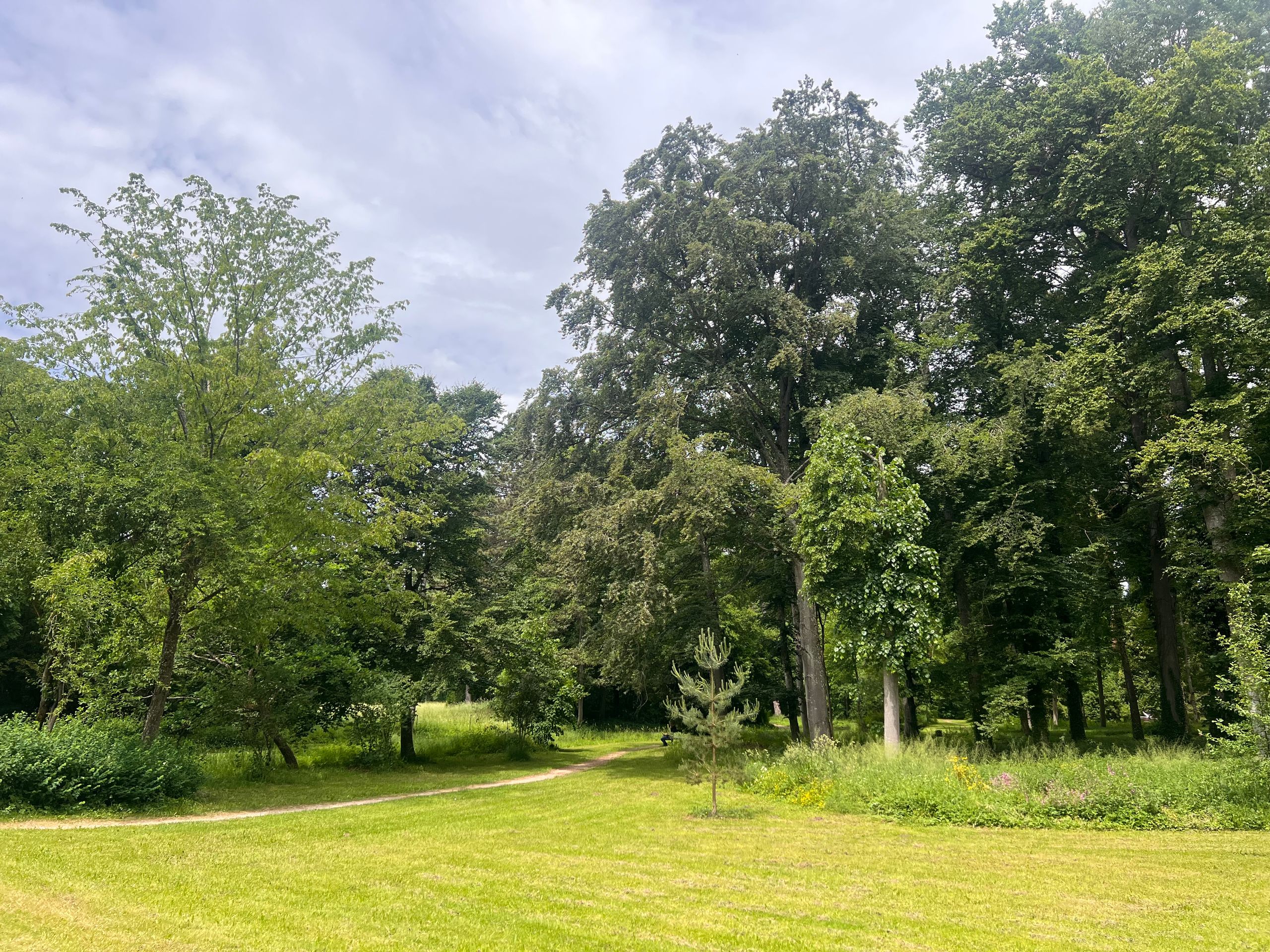
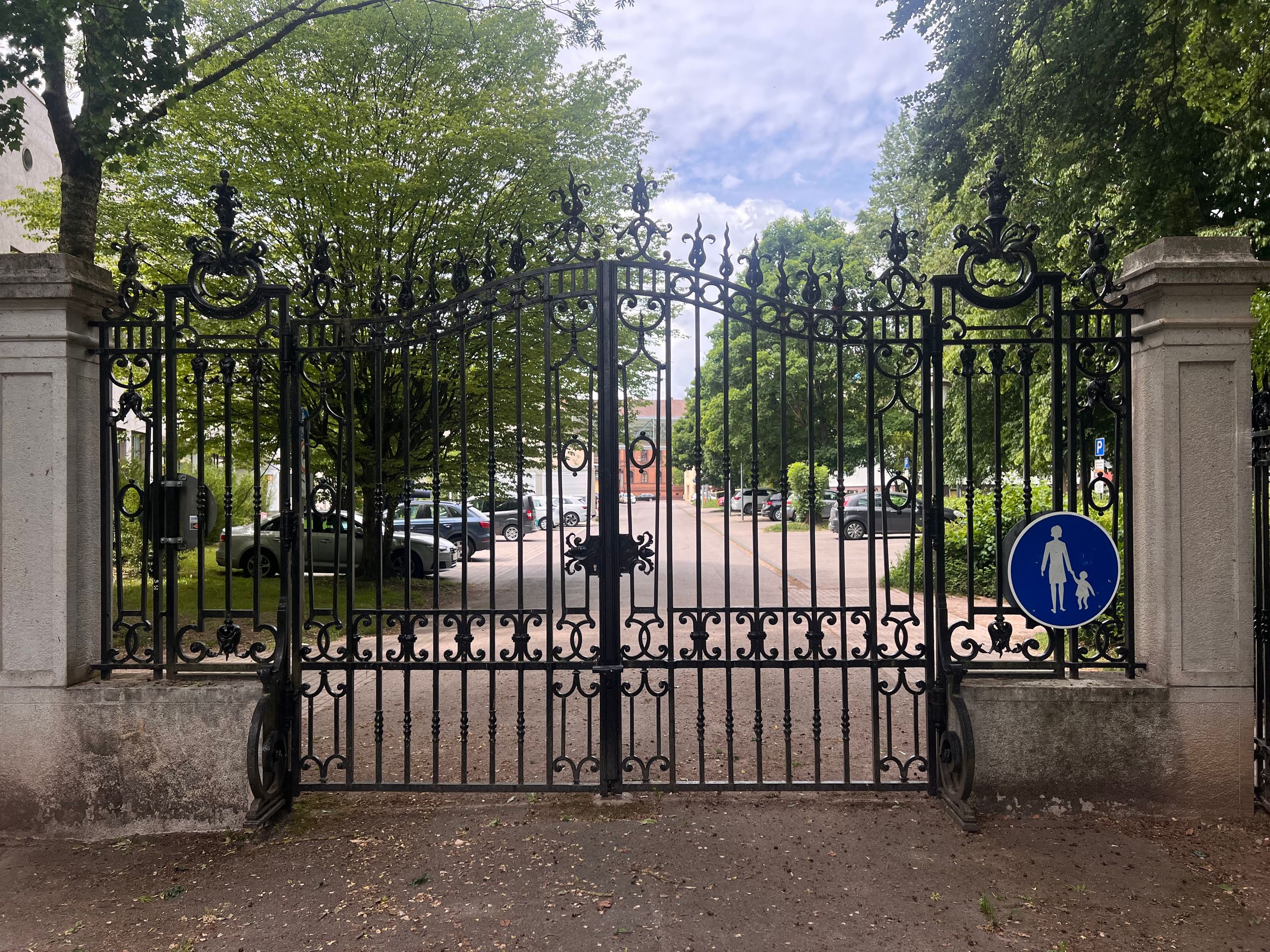
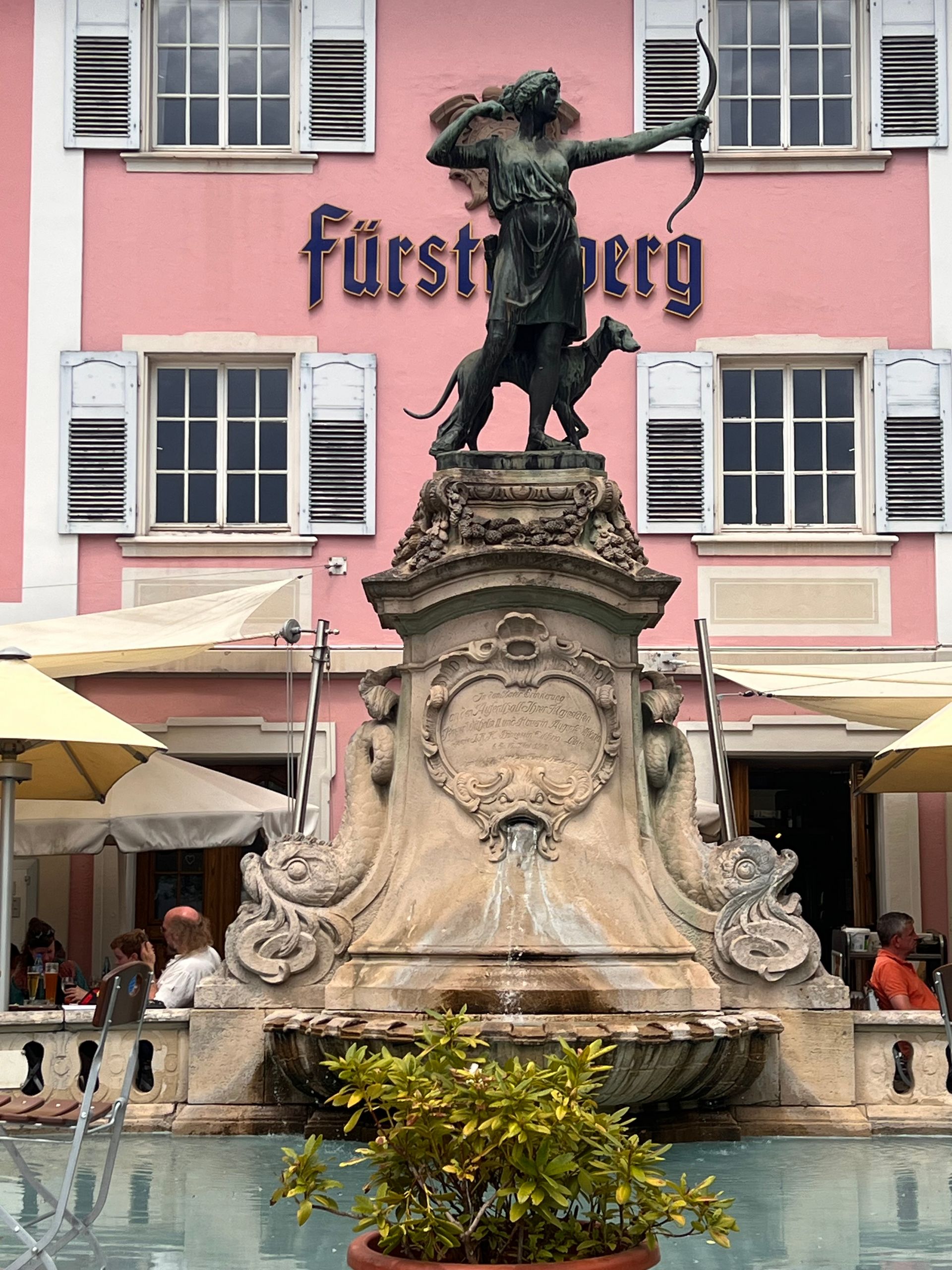
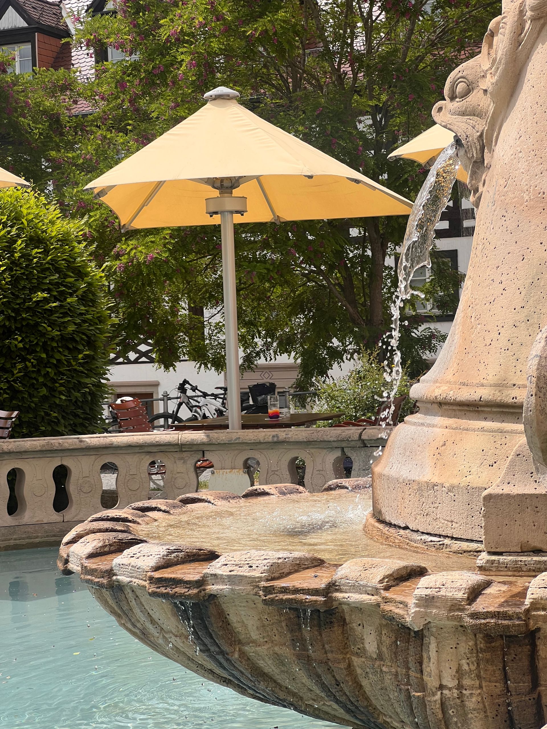
This was followed by a stroll through the Fürstenberg park. Besides several works of art, on the other side of the Brigach, there is a small temple that marks the point where the spring water flows into the Brigach. It is quite amazing how this little bit of water gives the entire river its name.
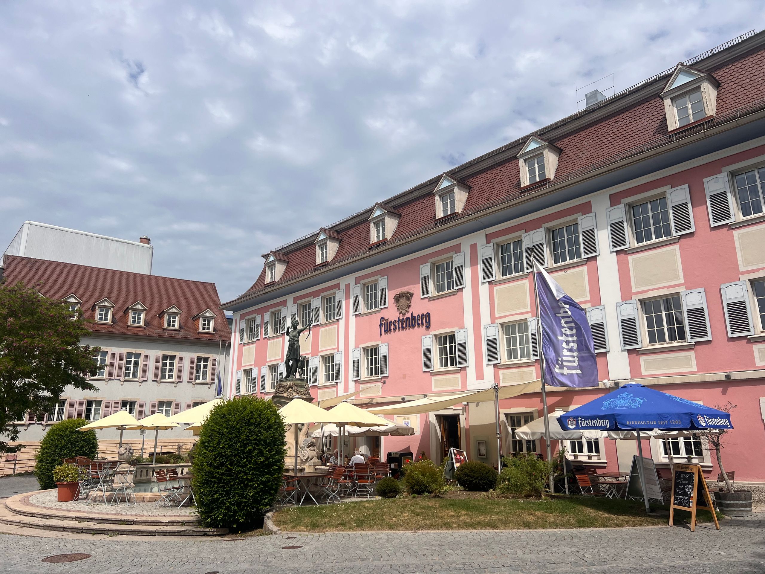
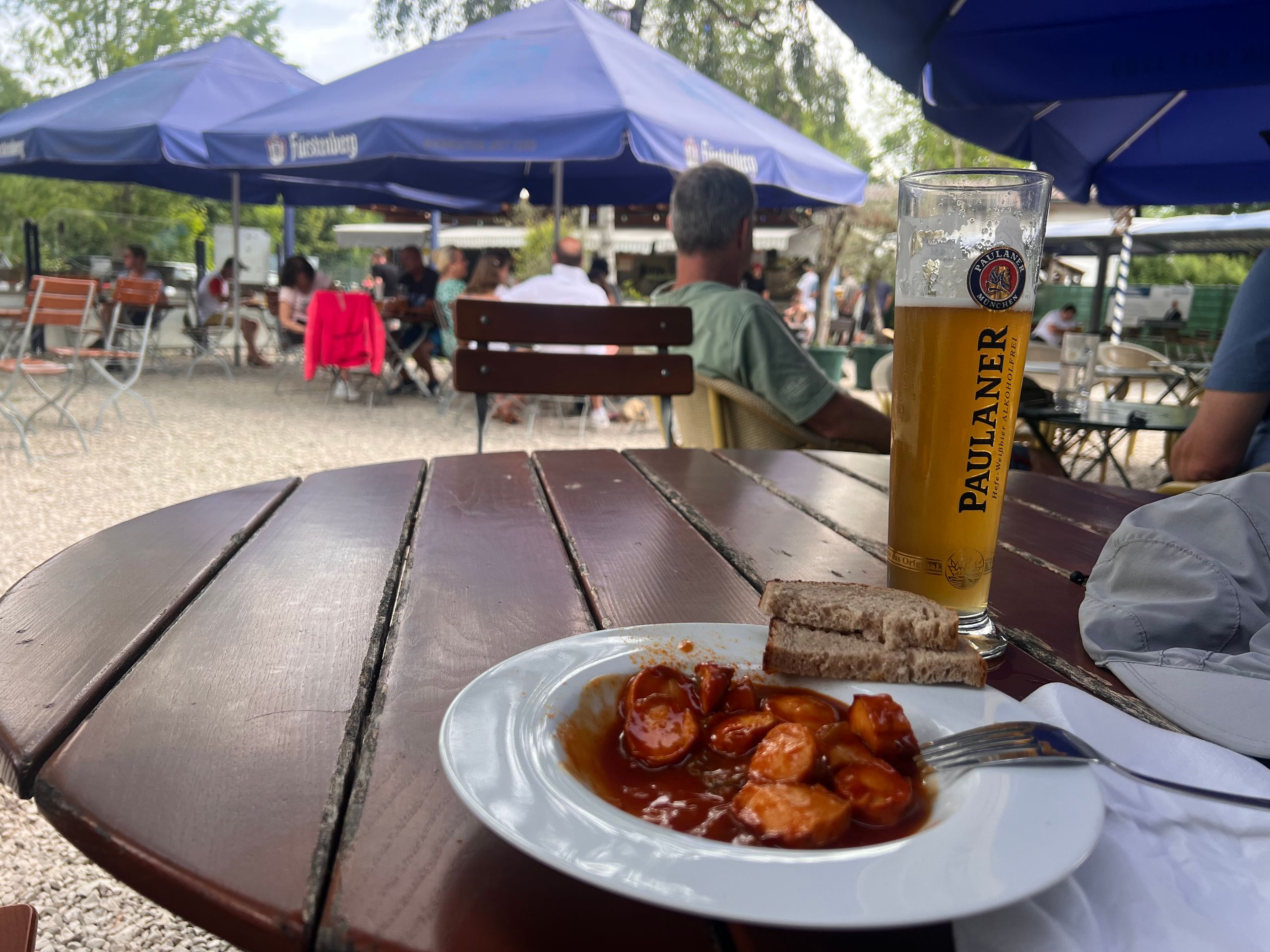
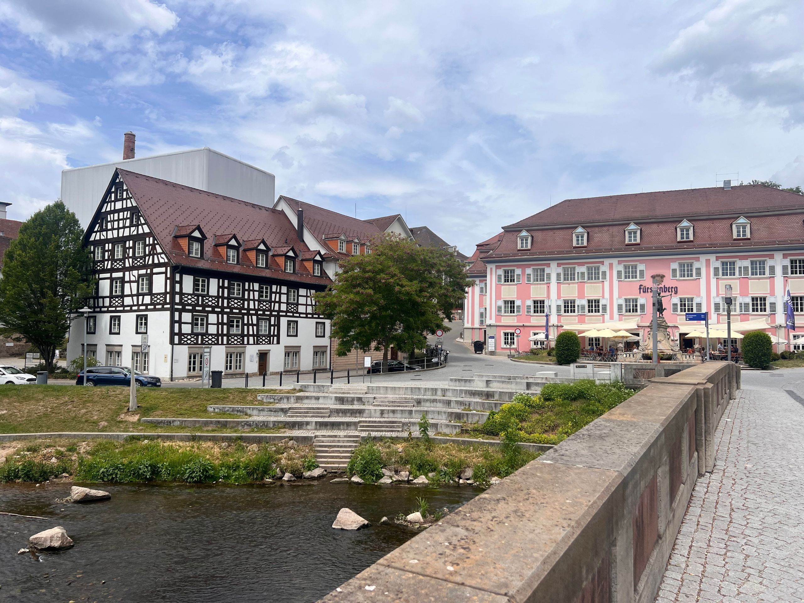
The hike and the walk with the small group made me thirsty, which is why my next destination was the beer garden before I walked back to the hotel. In total, I hiked and strolled over 10 kilometers with an elevation difference of about 80 meters.
***
English
Route: 0 kilometers, cumulative: 2,026 kilometers | Elevation gain: 0 m, cumulative elevation gain: 8,139 m, distance from home: 92 kilometers (as the crow flies)
I met two likeable men at breakfast today: Herbert and Patrick, father and son. They rode their e-bikes here from Schaffhausen and are starting their first stage on the Danube Cycle Path towards Vienna today. From there, they will take the train back home in two weeks.
So today they are riding my route from yesterday in the opposite direction. I'm almost a little envious and would have loved to go with them. 🤣 I wish them both a good trip and a safe return home.
I then walked to Donaueschingen myself. I really wanted to go to the source again, for which a guided tour was offered at 10:30 am.
Since there have already been many disputes and scientific discussions about the actual source of the Danube, I was interested to know why exactly this place is considered such. The source is actually very inconspicuous when you consider what it eventually becomes.
The water from this spring flows underground through the Fürstenpark, where the (truly small) Danube flows into the Brigach. Shortly afterwards, the Breg also joins. From this point on, the stream officially becomes the Danube. I was also interested in where the name Danube comes from: basically, 'Danube' is said to simply mean 'river'. It's as simple as that! I just wonder: shouldn't even more bodies of water be called Danube? 🤣
The tour was very entertaining and interesting. Afterwards, we went to the church, where I took a few photos.
This was followed by a stroll through the Fürstenberg park. In addition to several works of art, on the other side of the Brigach, you can find a small temple that marks the spot where the spring water flows into the Brigach. It is quite amazing how this little bit of water gives the entire river its name.
The hike and the walk with the small group made me thirsty, which is why my next stop was the beer garden before I walked back to the hotel. In total, I hiked and strolled over 10 kilometres with an elevation gain of about 80 metres.
***
Español
Ruta: 0 kilómetros, acumulado: 2.026 kilómetros | Desnivel: 0 m, desnivel acumulado: 8.139 m, distancia desde casa: 92 kilómetros (en línea recta)
Hoy, durante el desayuno, he conocido a dos hombres muy simpáticos: Herbert y Patrick, padre e hijo. Han venido hasta aquí en sus bicicletas eléctricas desde Schaffhausen y hoy comienzan su primera etapa en la ruta ciclista del Danubio en dirección a Viena. Desde allí, volverán a casa en tren dentro de dos semanas.
Así que hoy recorren mi ruta de ayer en sentido contrario. Casi me da un poco de envidia y me hubiera encantado unirme a ellos. 🤣 Les deseo a ambos un buen viaje y un feliz regreso a casa.
Después, me fui caminando hasta Donaueschingen. Tenía muchas ganas de volver a ver el manantial, para el cual se ofrecía una visita guiada a las 10:30 horas.
Como ya ha habido muchos pleitos y discusiones científicas sobre el verdadero nacimiento del Danubio, me interesaba saber por qué se considera exactamente este lugar como tal. El manantial es, de hecho, muy modesto si se tiene en cuenta en lo que se convierte después.
El agua de este manantial fluye bajo tierra por el parque Fürstenpark, donde el (realmente pequeño) Danubio desemboca en el Brigach. Poco después se une también el Breg. A partir de este punto, el arroyo se convierte oficialmente en el Danubio. También me interesaba saber de dónde viene el nombre de Danubio: básicamente, se dice que «Danubio» significa simplemente «río». ¡Así de sencillo! Lo que me pregunto es: ¿no deberían llamarse Danubio muchos más cauces de agua? 🤣
La visita fue muy amena e interesante. Después estuvimos en la iglesia, donde hice algunas fotos.
A continuación, dimos un paseo por el parque de los Fürstenberg. Además de algunas obras de arte, al otro lado del Brigach se encuentra un pequeño templo que marca el lugar donde el agua del manantial fluye hacia el Brigach. Es asombroso cómo este poco de agua da nombre a todo el río.
La caminata y el paseo con el grupo pequeño me dieron sed, por lo que mi siguiente parada fue el jardín de cerveza (Biergarten), antes de volver caminando al hotel. En total, caminé y paseé más de 10 kilómetros con un desnivel de unos 80 metros.