
Cuenca
door

Published: 17.01.2025
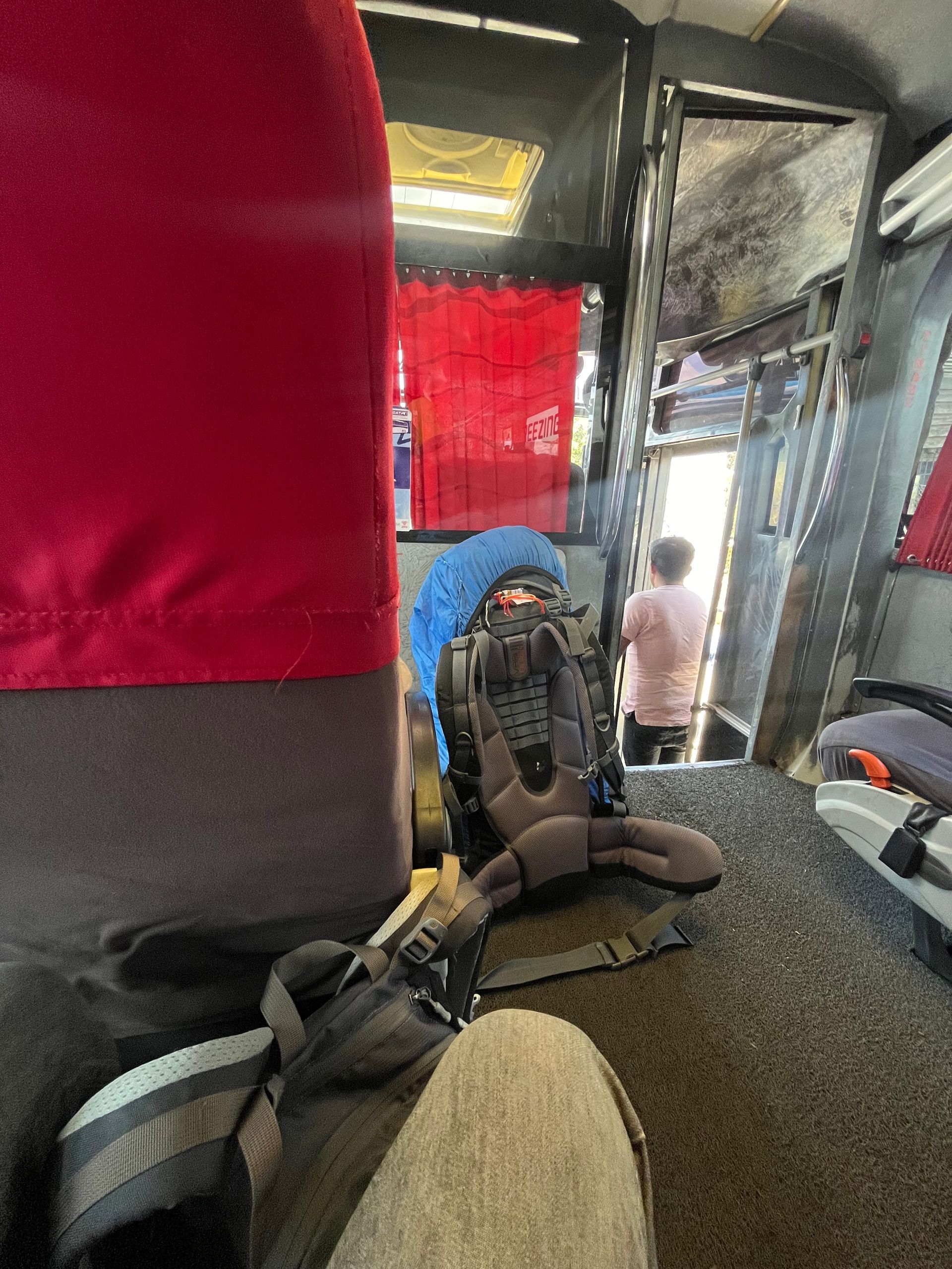
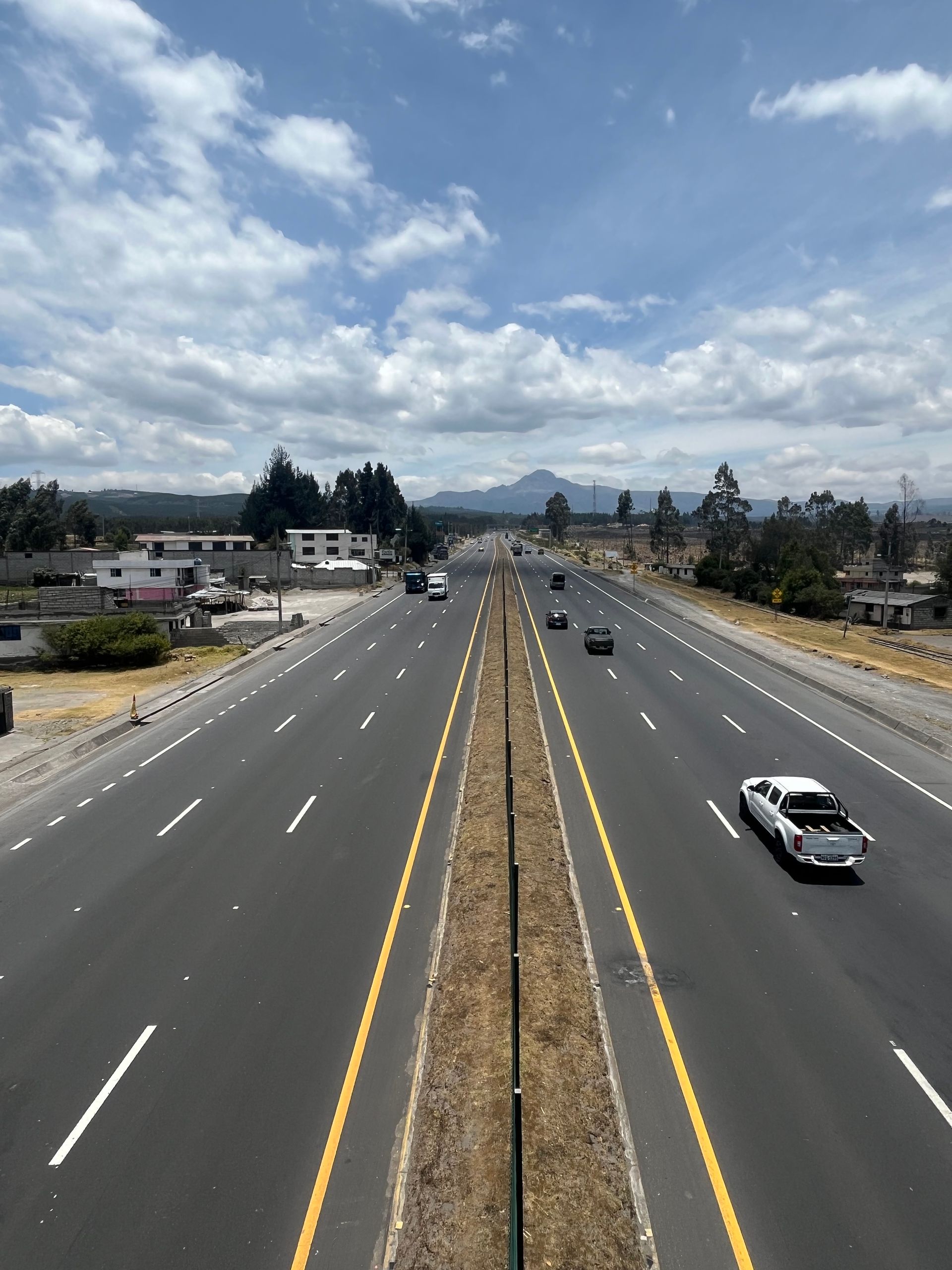
The journey through the central highlands of Ecuador from Cuenca to Cotopaxi National Park takes a fast 10 hours (for 360 km) because the bus stopped at every little village to pick up or drop off people. Essentially nothing new in South America, but the frequency of the stops was something new for me.
I actually wanted to stay at the Secret Garden near the national park with a view of the volcano, but after endless back-and-forth over WhatsApp and constantly different and overly high prices, I lost interest in that place and decided to look for another accommodation. Unfortunately, I had already booked a night in Machachi, a small town in the middle of nowhere, to be shuttled to the Secret Garden the next morning. So after the long bus ride, I got dropped off there and after a quick snack, checked out what else was around, only to head back 35 km to Chasqui the next day, as I had found a cozy accommodation there, in the greenery and not far from the entrance of the national park. The really nice thing about South America is that no matter where you are, you just stand by the road and it never takes long for some vehicle to stop and pick you up for a small fee. You can get on and off wherever you like; the bus practically stops everywhere. That has its charm, but it can also be annoying if you finally want to reach your destination and the bus seems to stop every 3 minutes to drop someone off (as perfected on the way there).
Upon arriving at the hostel, I was almost alone again. A girl from Costa Rica had also checked in here, while the rest of the room was empty. Unfortunately, tourism in Ecuador seems to have completely collapsed after all the bad news from the last few months. On the one hand, this is quite pleasant as a guest, but for the people here who live from tourism, it is an absolute catastrophe. One can only hope that this normalizes again quickly or that the government manages to get the problems with the cartels under control somehow.
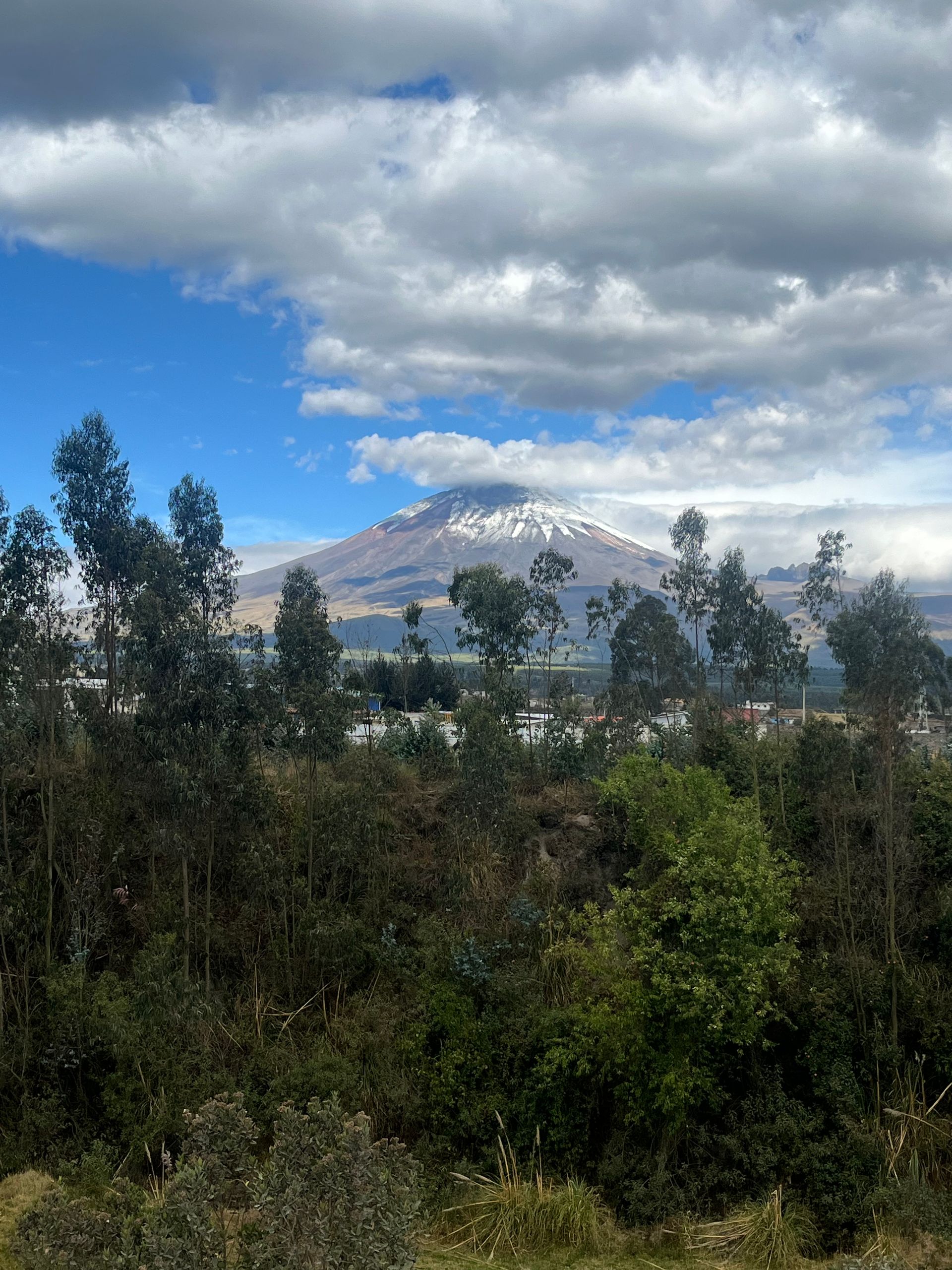
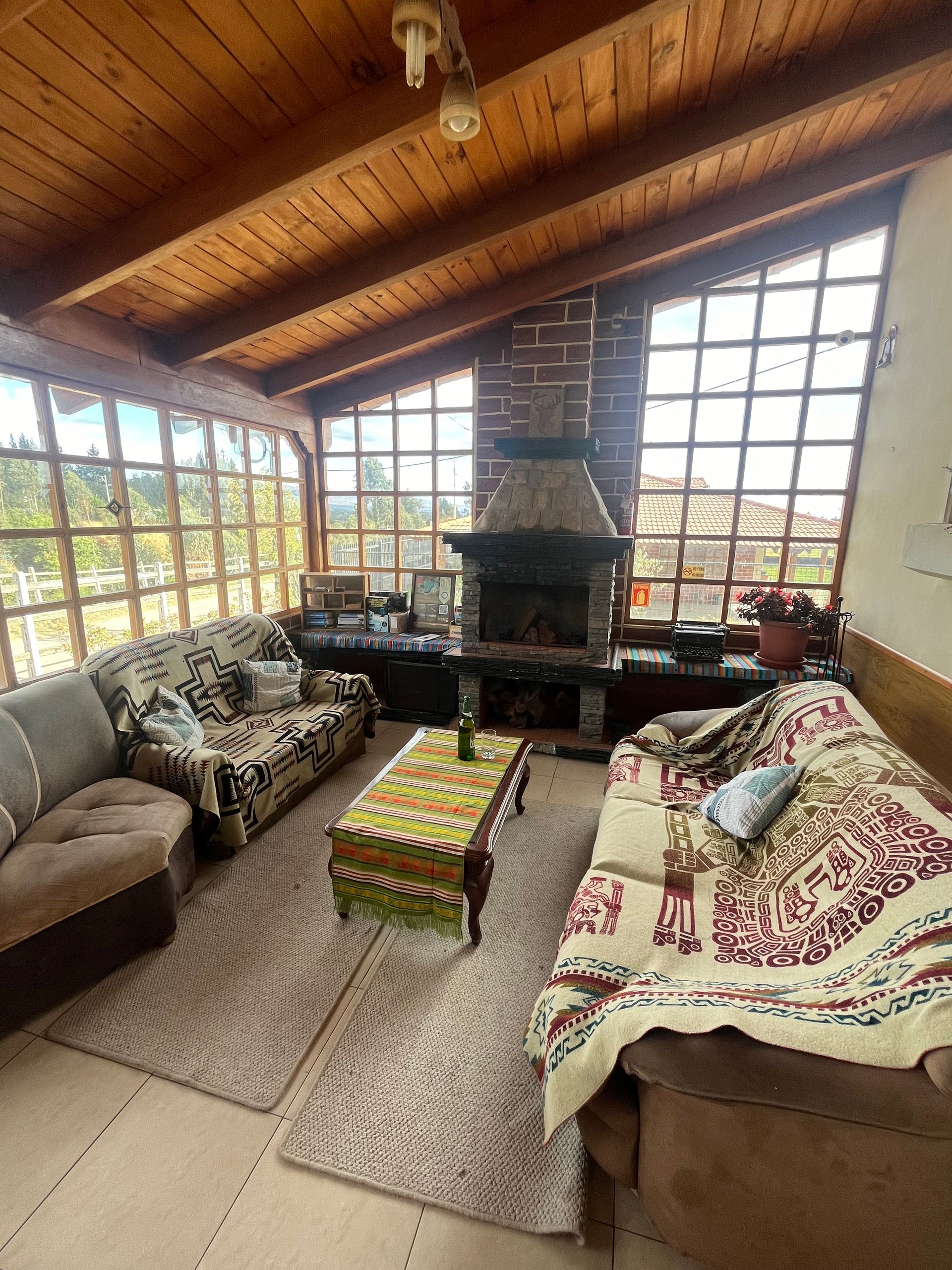
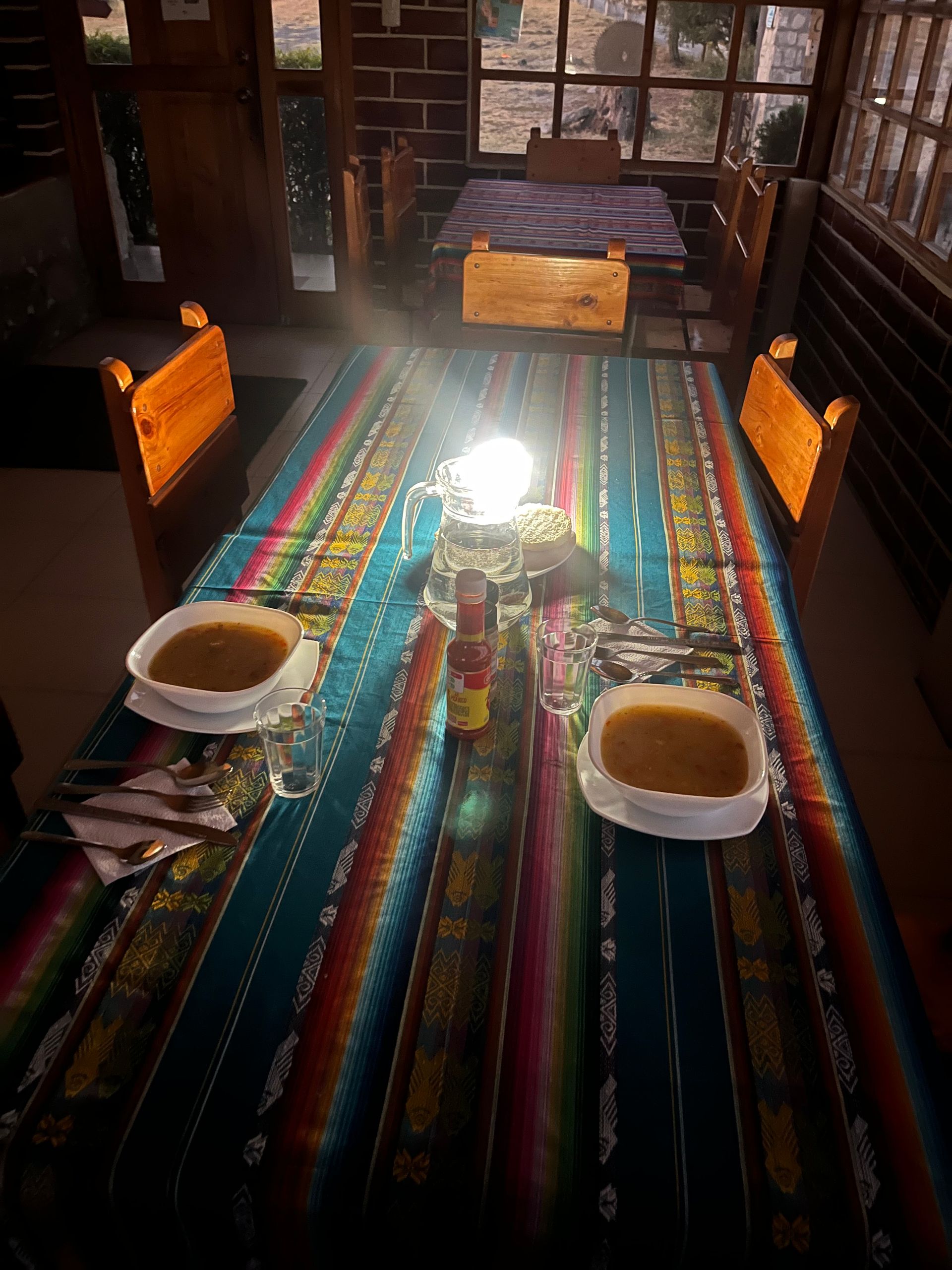
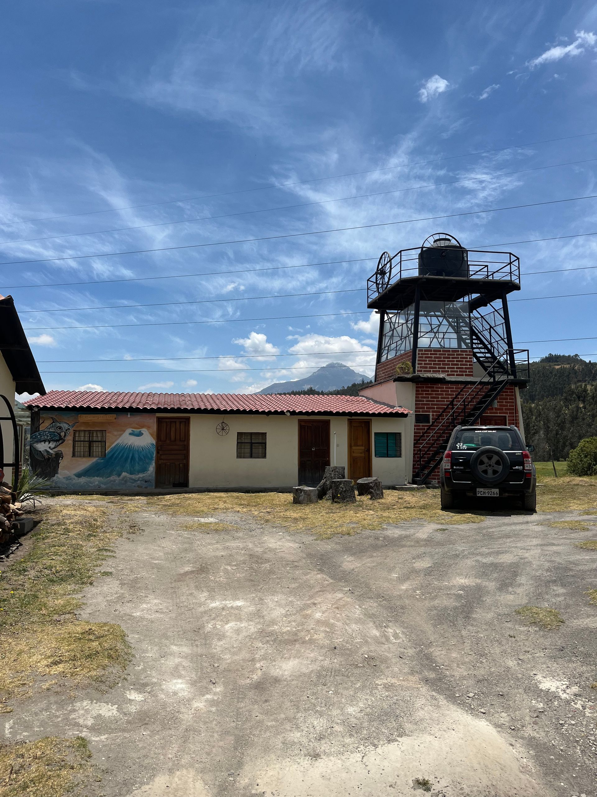
The accommodation is definitely very cozy and the hosts are super nice and relaxed. There’s even a lookout tower with almost unobstructed views of Cotopaxi. Unfortunately, it was almost completely shrouded in clouds on the day I arrived. But that was no big deal as the trip to this nearly 6,000 m high volcano was to take place the next day. The rest of the day was meant for lounging around, strolling through the area, and settling into the cozy lodge by the fireplace. That’s how I had envisioned it. And since the power was out for practically the entire rest of the day, it was a wonderful way to pass the time. Due to the ongoing drought and the issue with the power supply (Ecuador generates most of its electricity through hydropower), the responsible authority decided to cut off electricity for about 12 hours a day until the end of the month. It’s not a big deal for a few hours, but it can be quite annoying in the long run. The dinner served at the hostel was enjoyed by candlelight and the only two guests chatted about their plans for the next day. In total, it’s nearly 50 km to the foot of the path up to Cotopaxi in the middle of the national park. Since the Costa Rican girl had already been to Cotopaxi but wanted to go back to the park for birdwatching, she offered to share the transportation. A driver I had met the day before was set to provide the entire service, including round-trip transport and entry to the national park for $20 per person. My original plan was to hitchhike to the park entrance and then figure out how to get from there. However, the all-inclusive package for a twenty seemed like quite a fair deal, and I agreed.
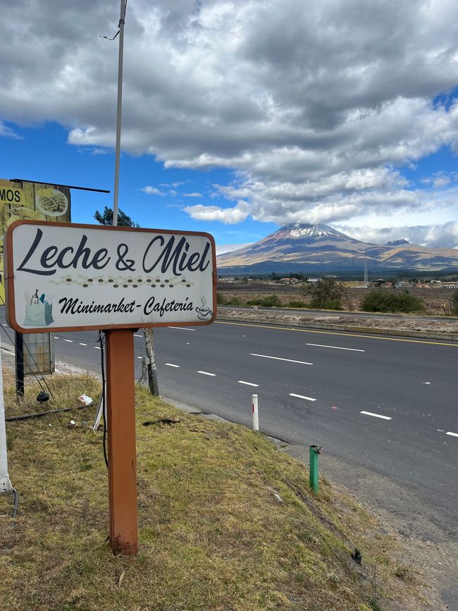
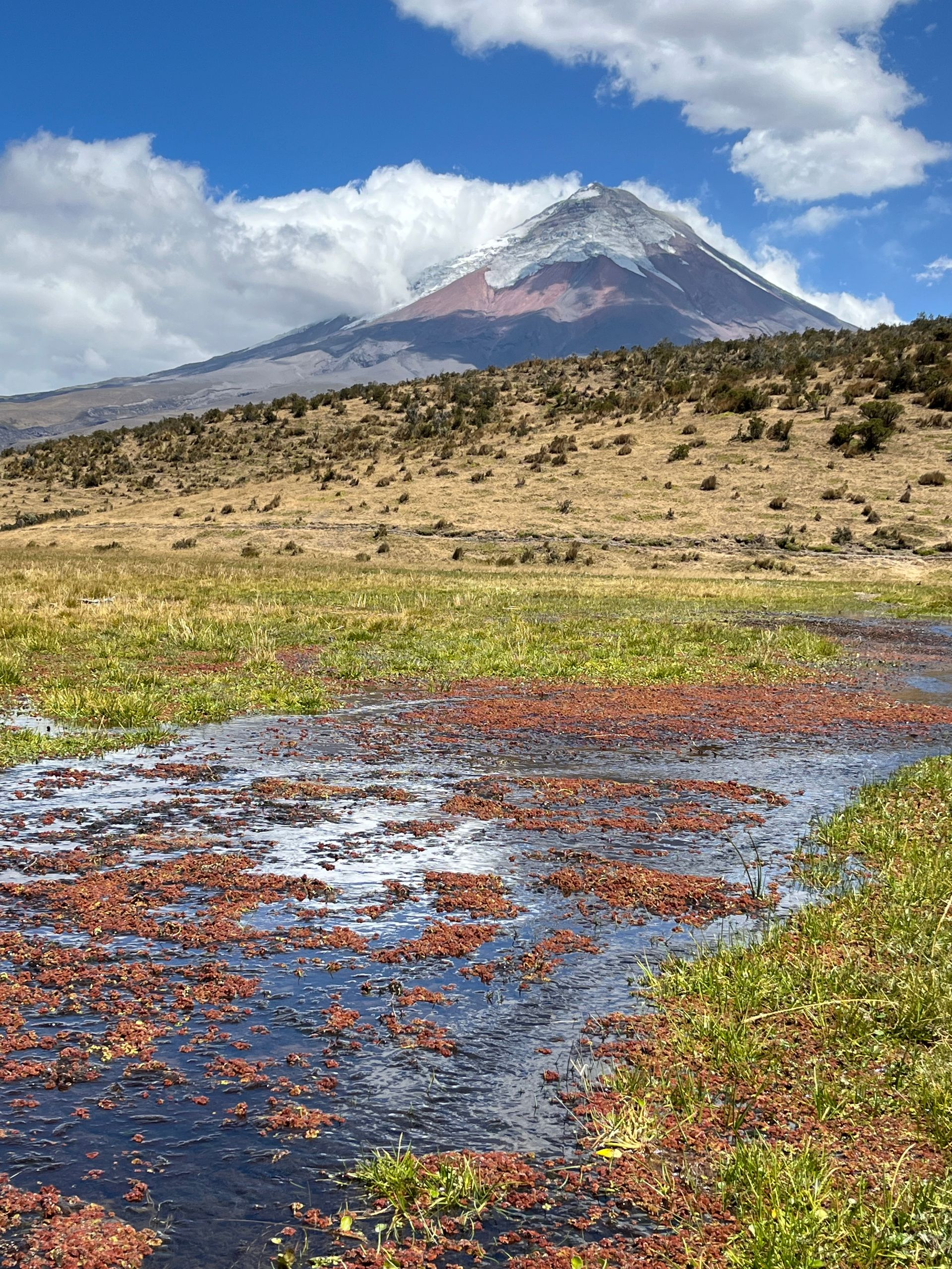
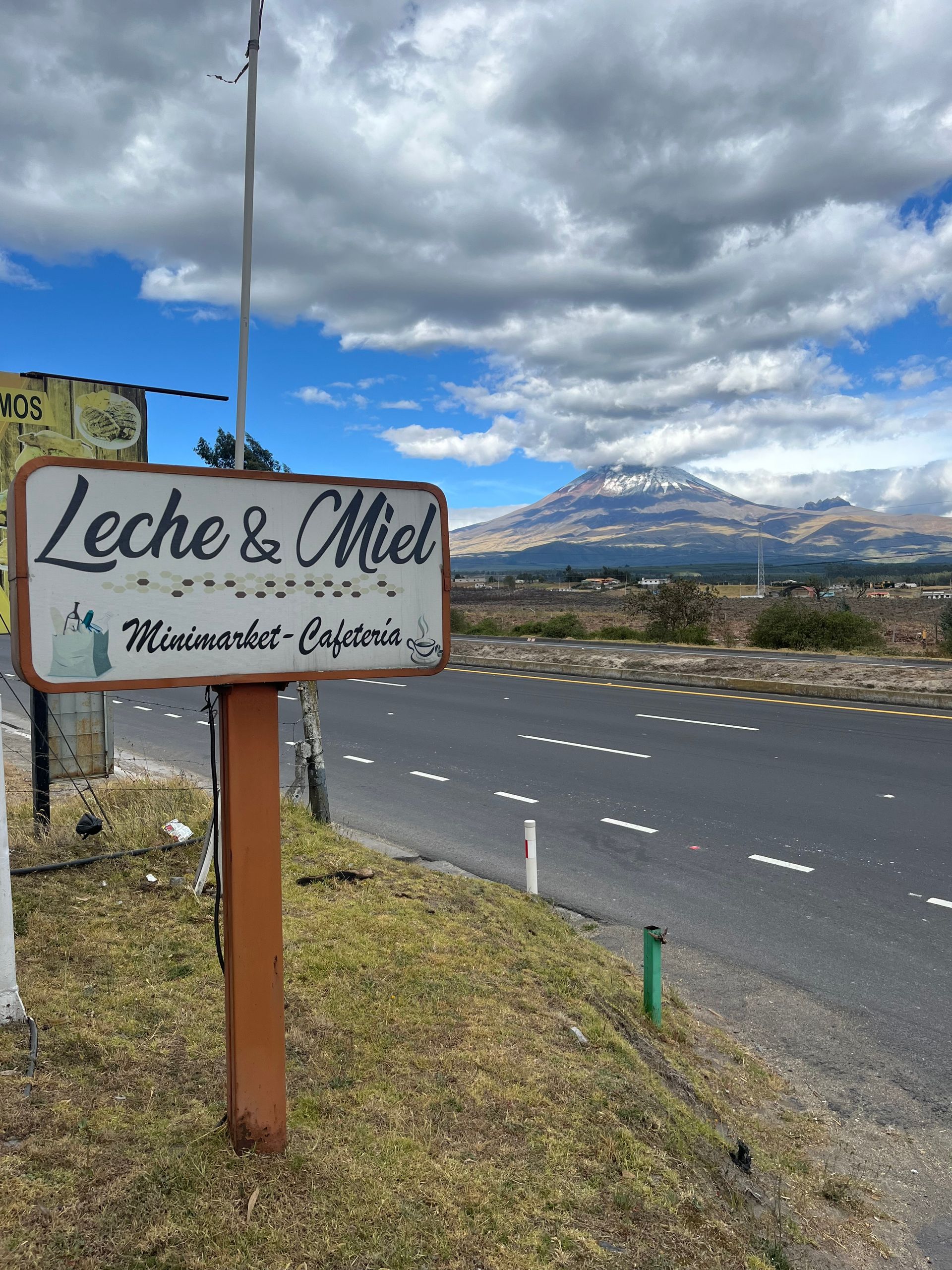
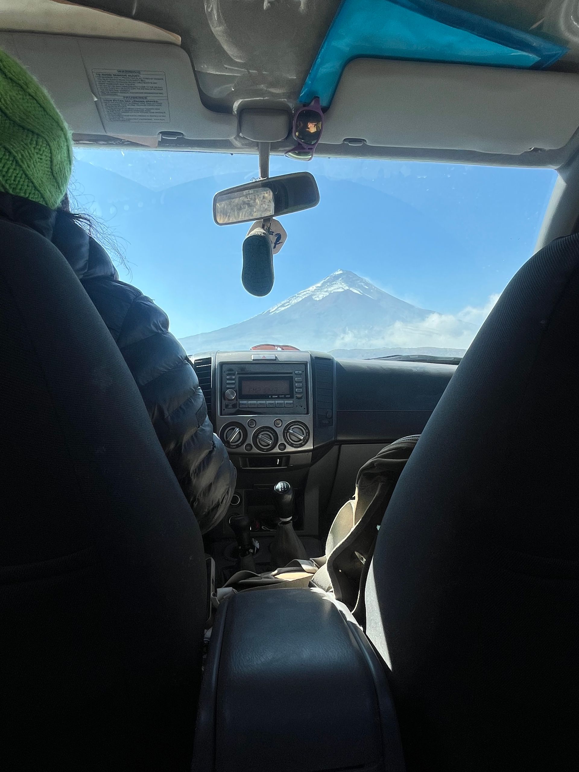
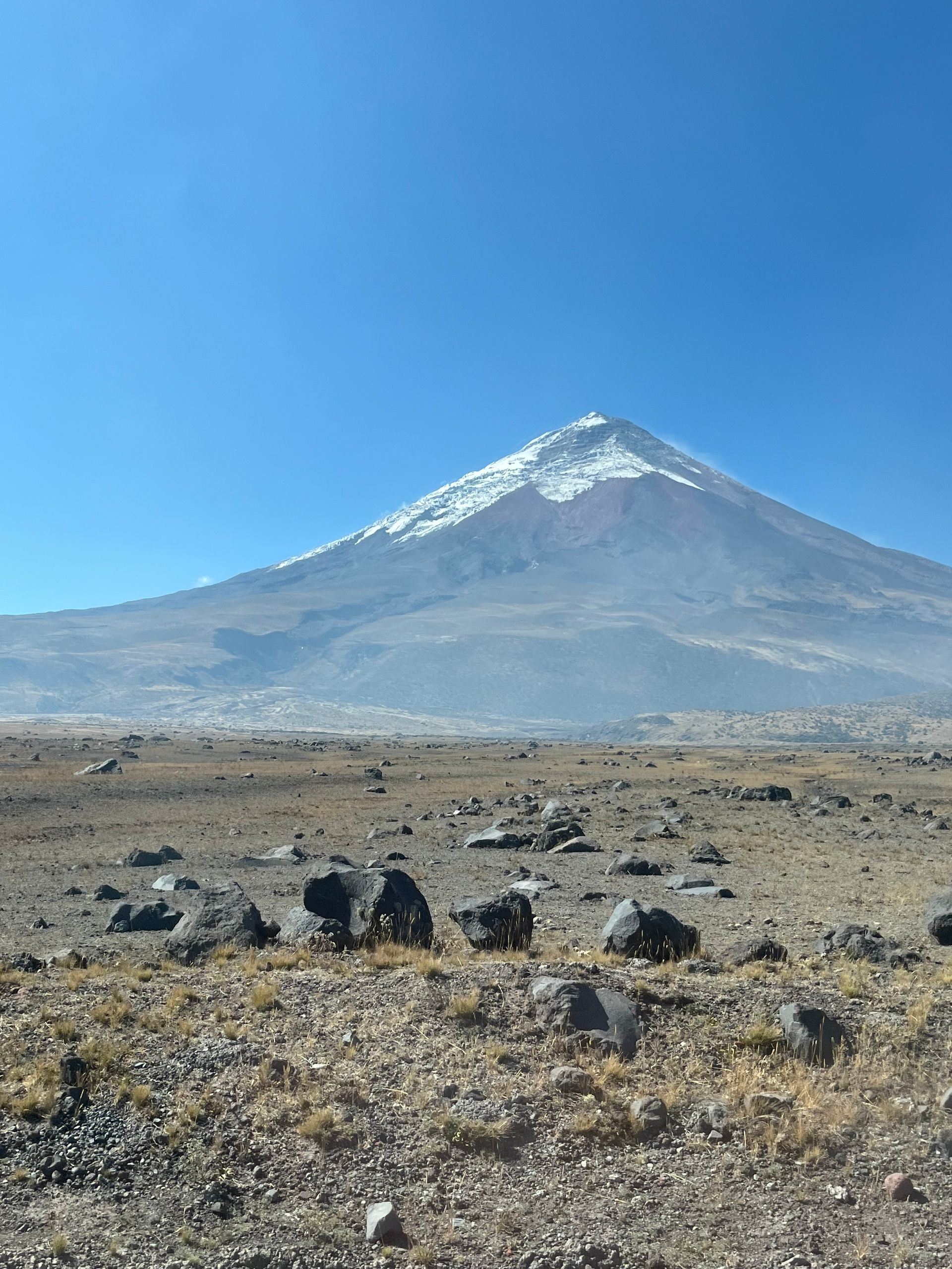
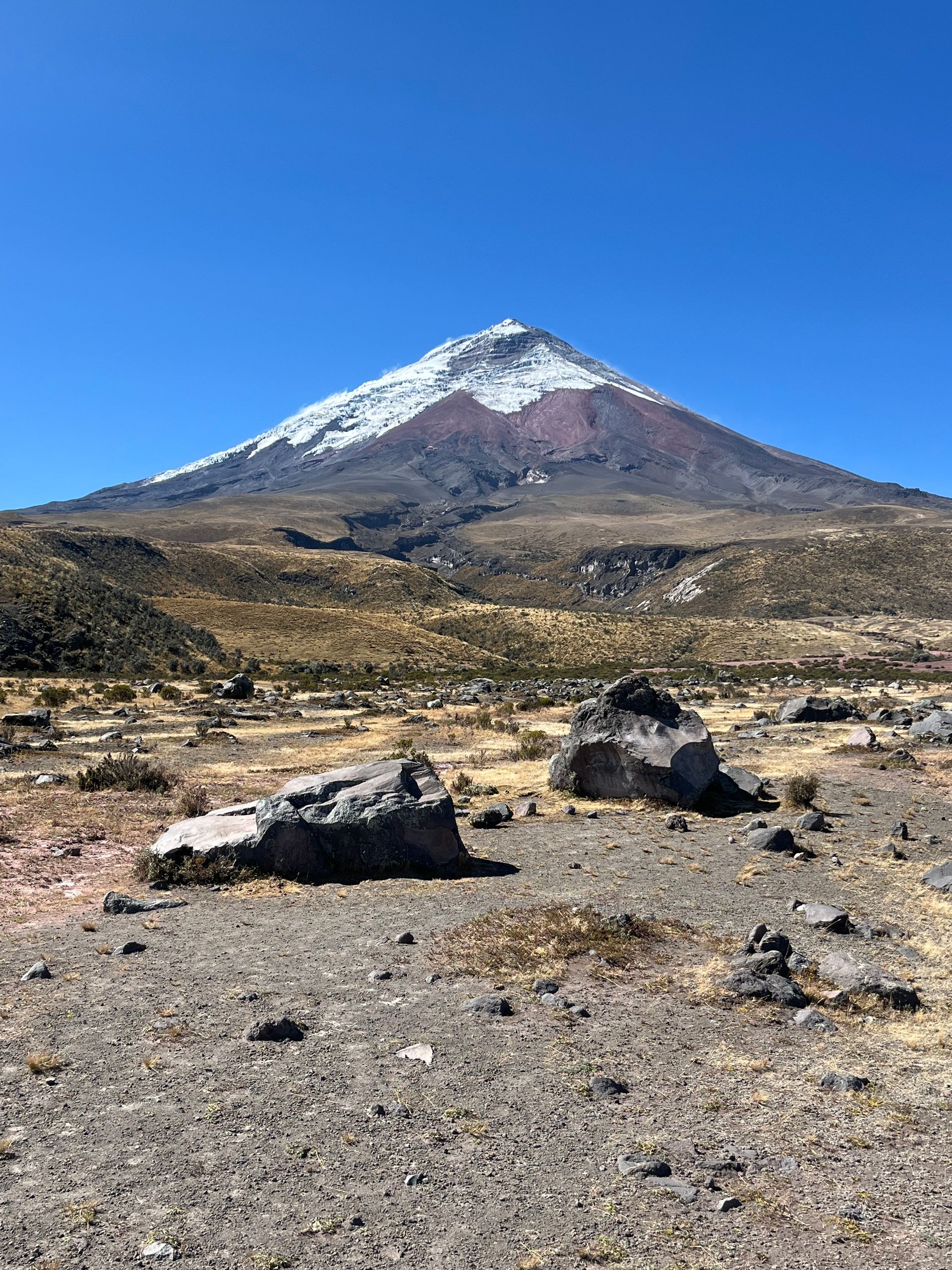
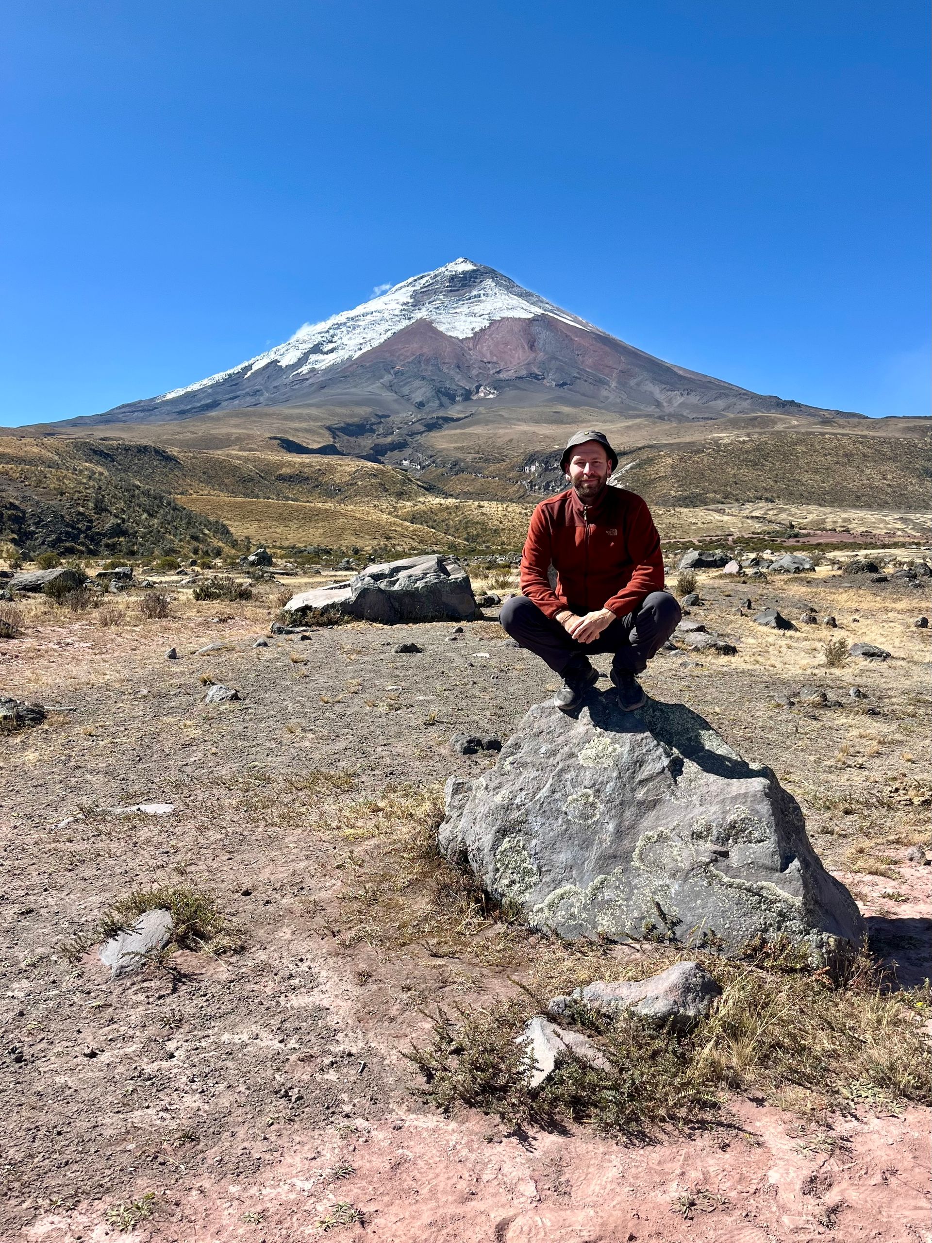
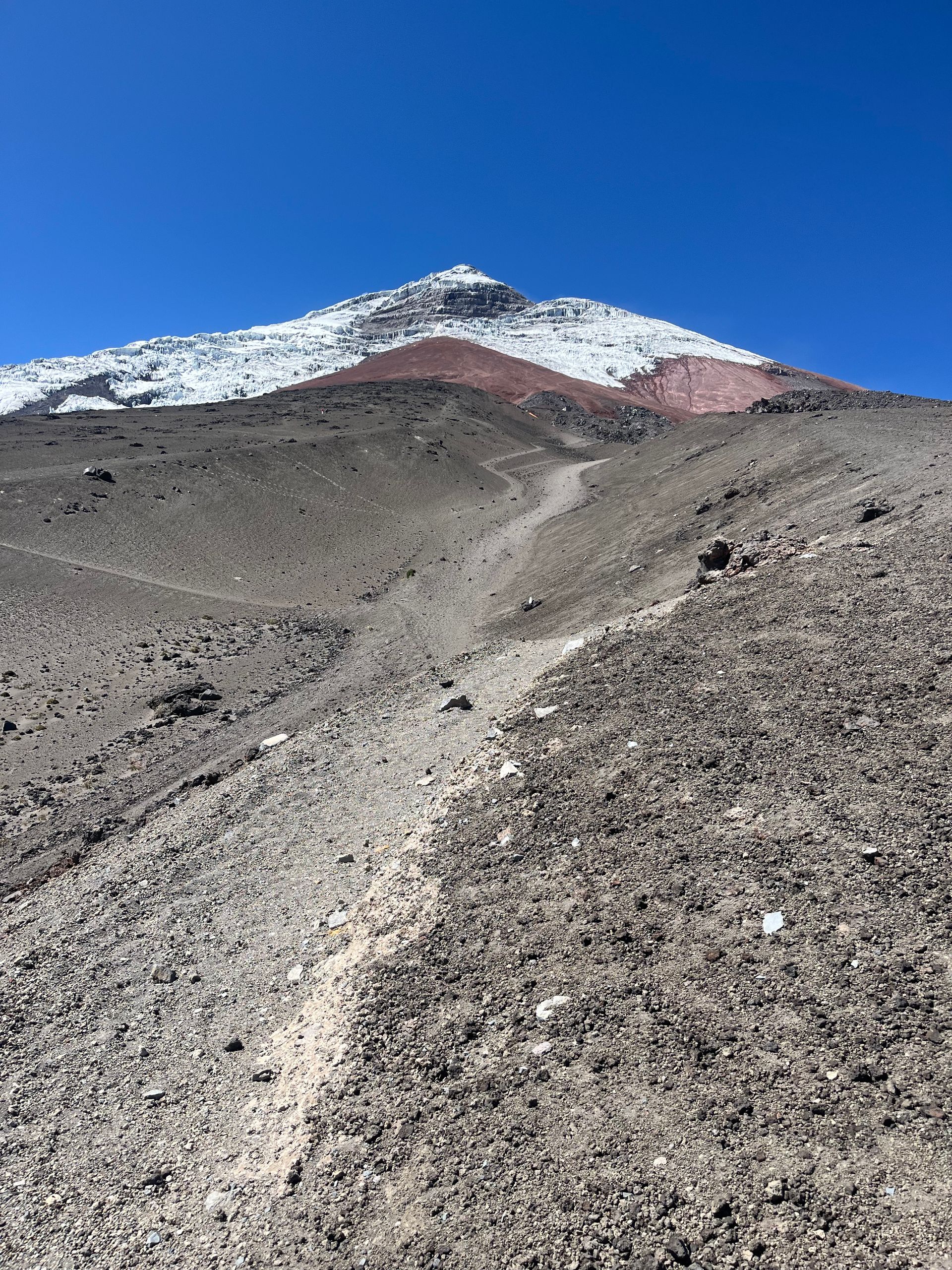
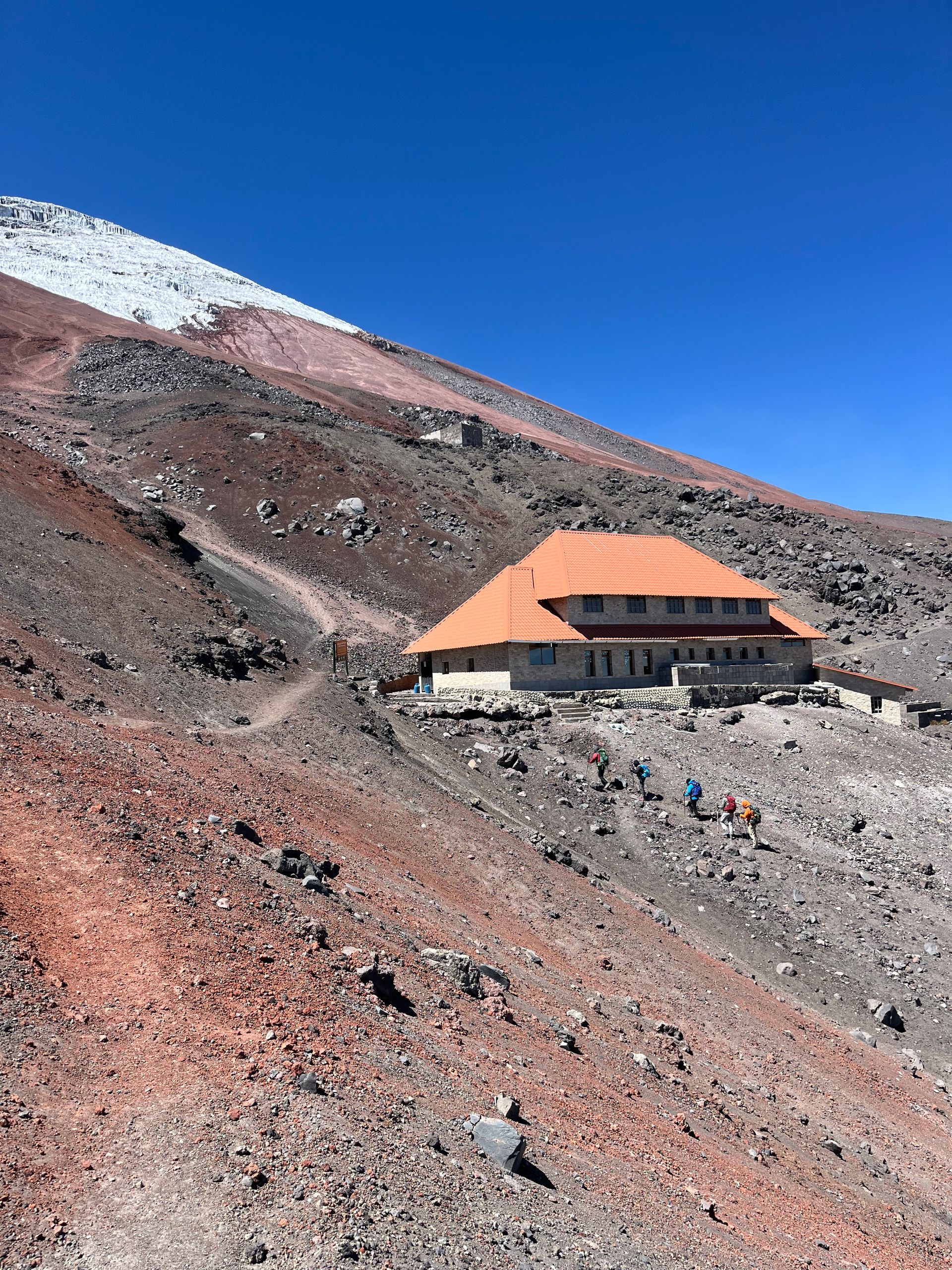
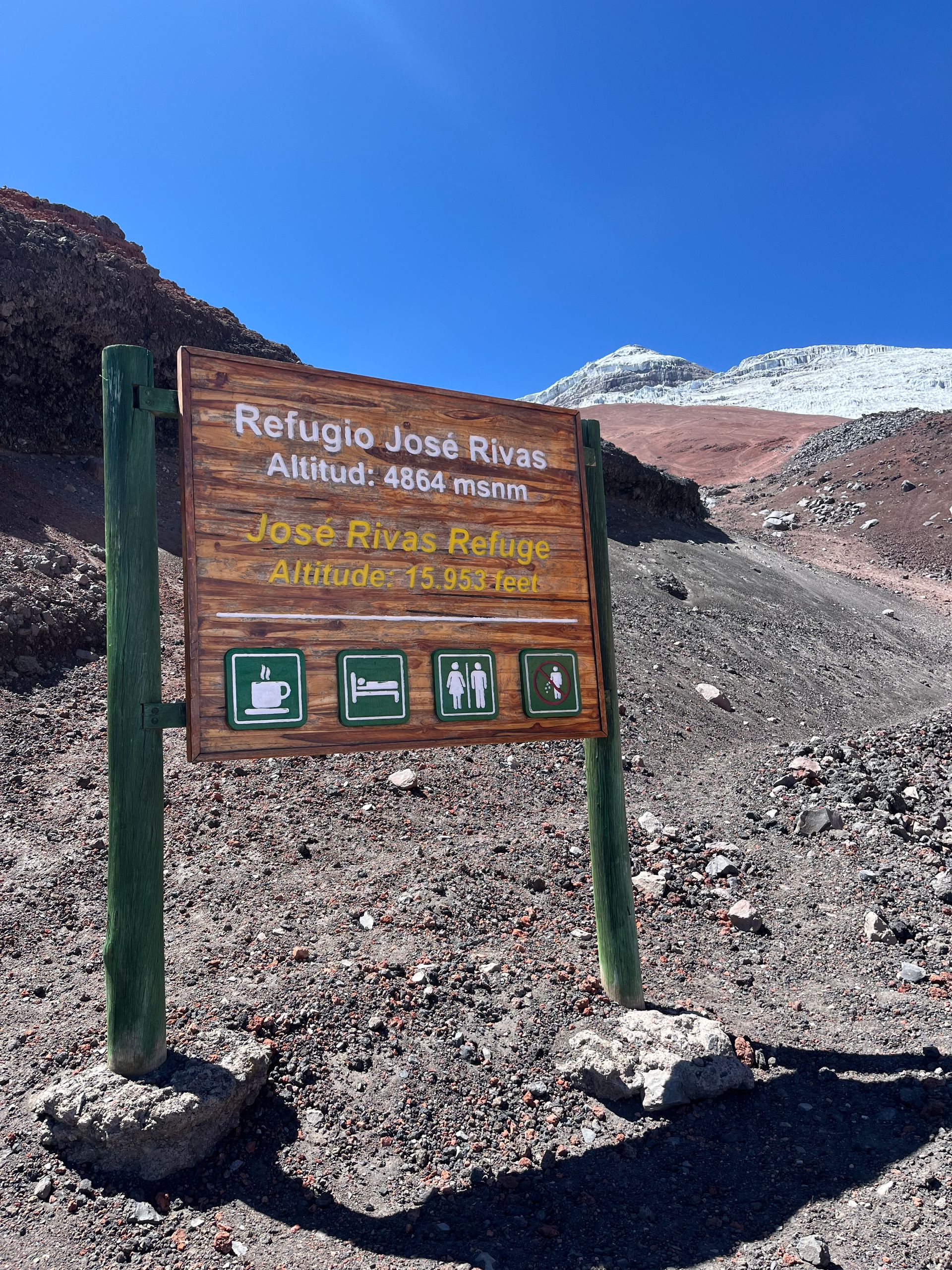
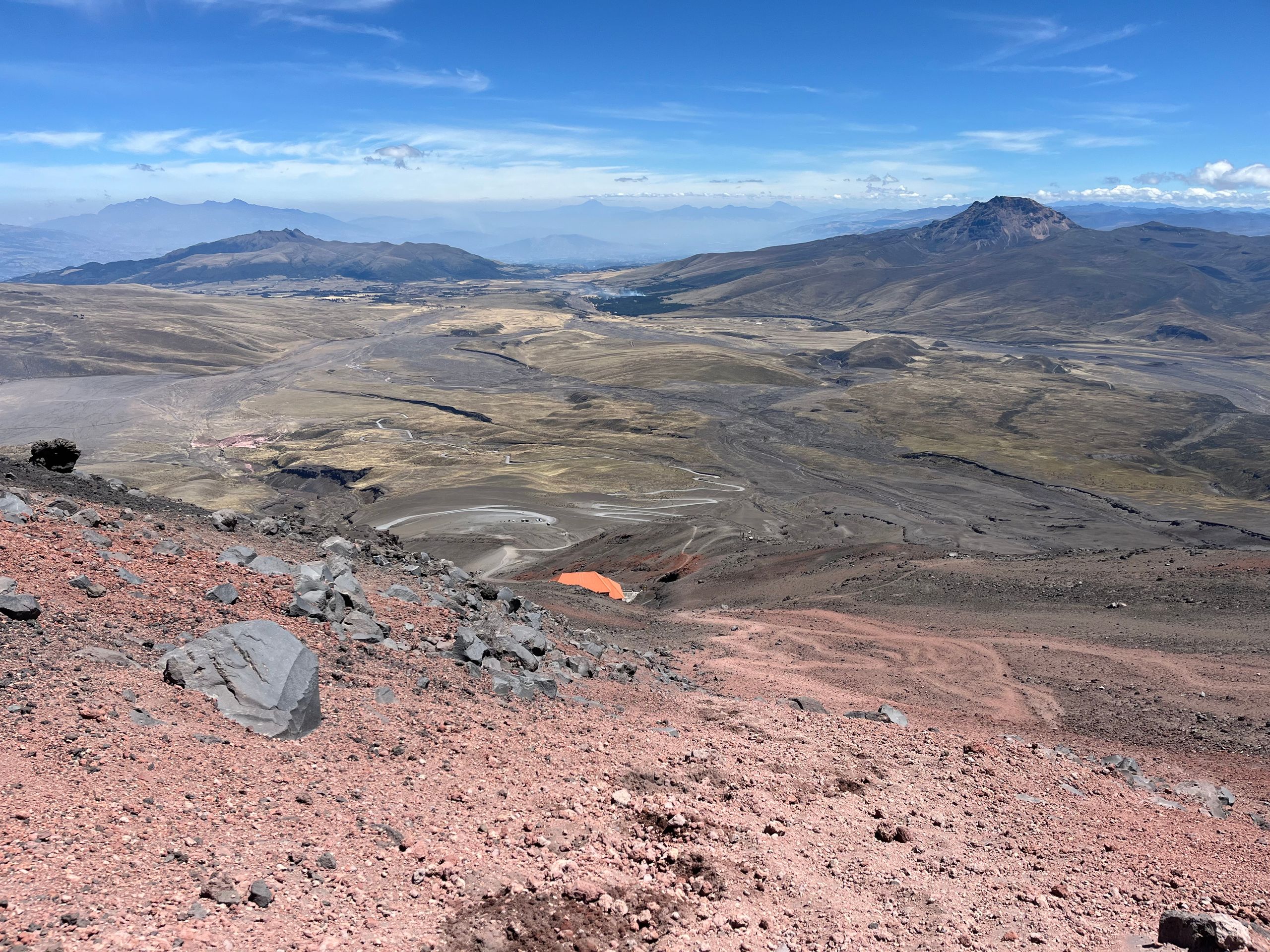
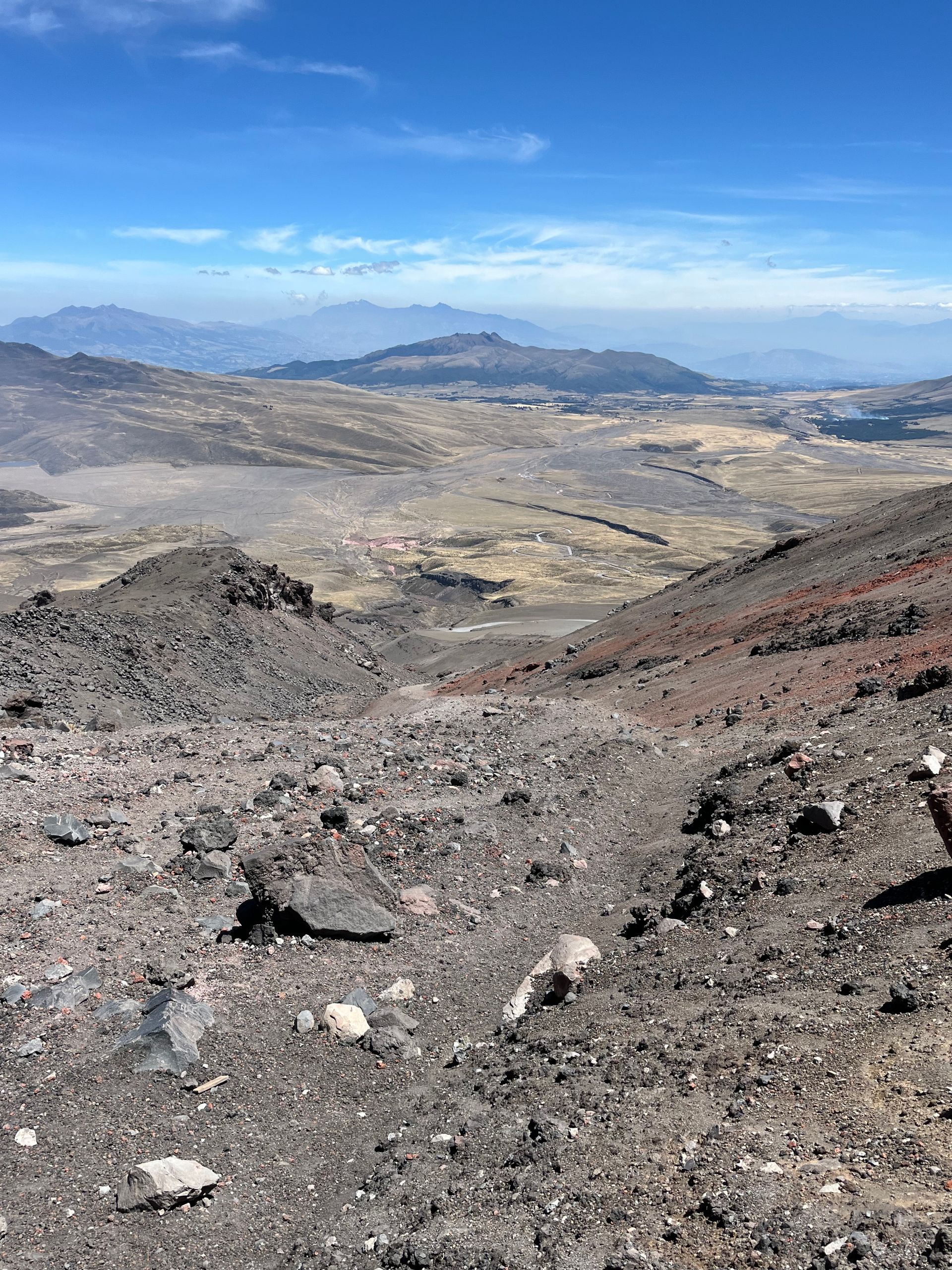
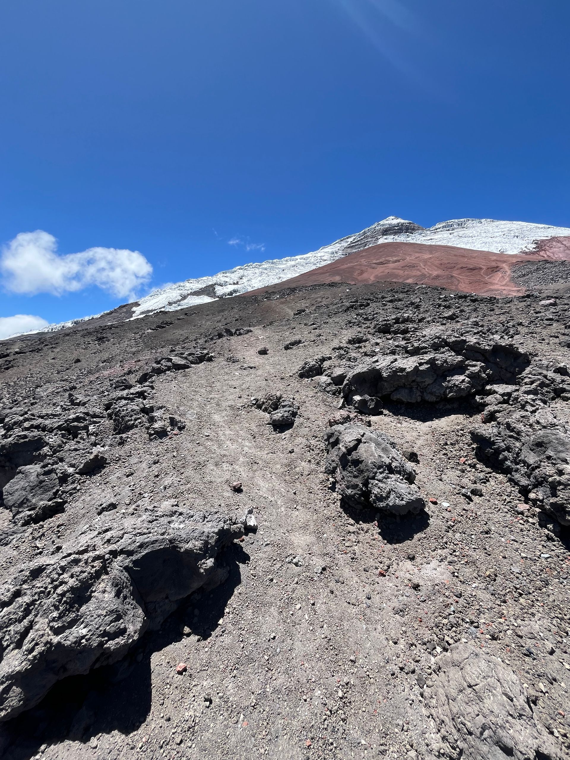
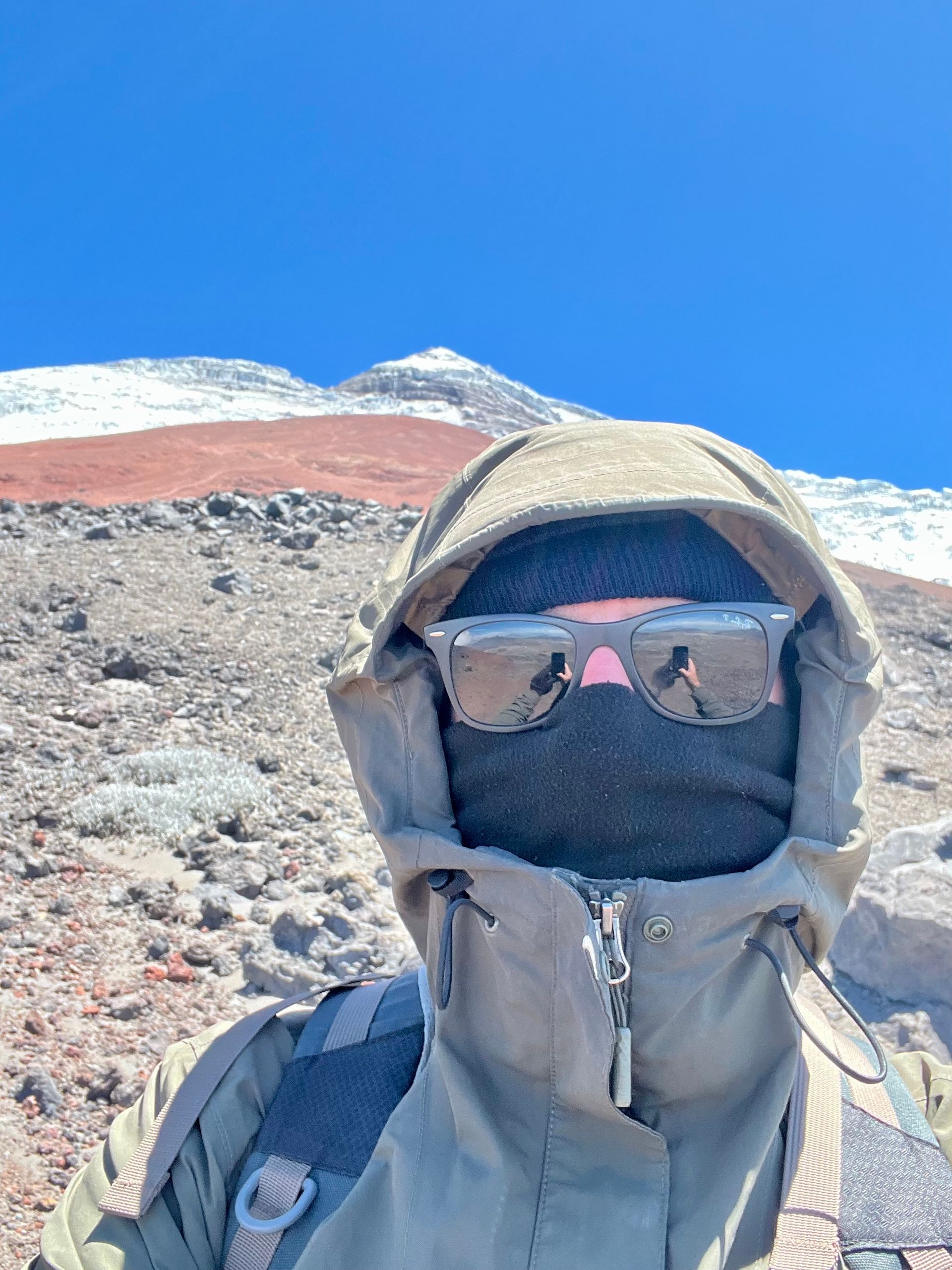
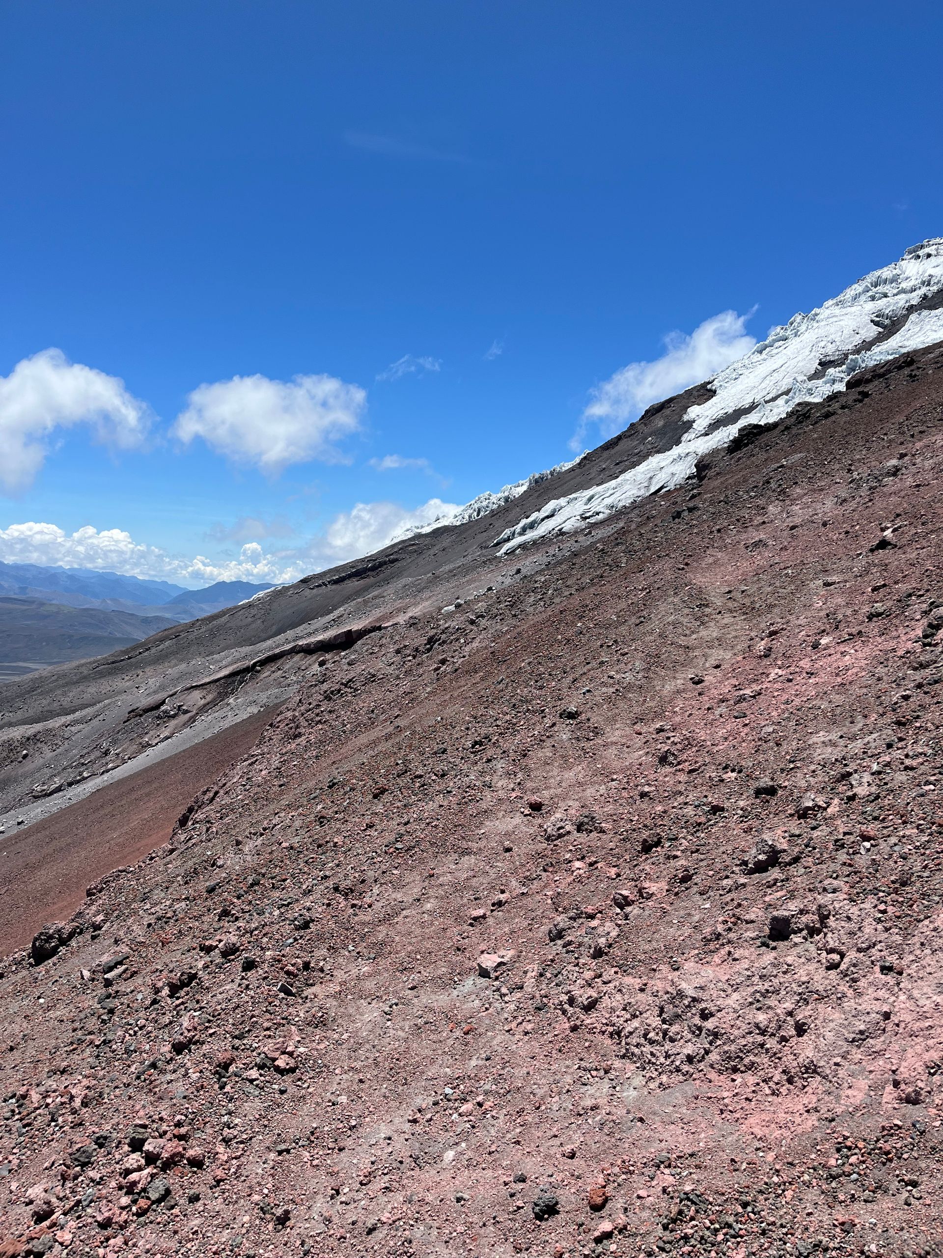
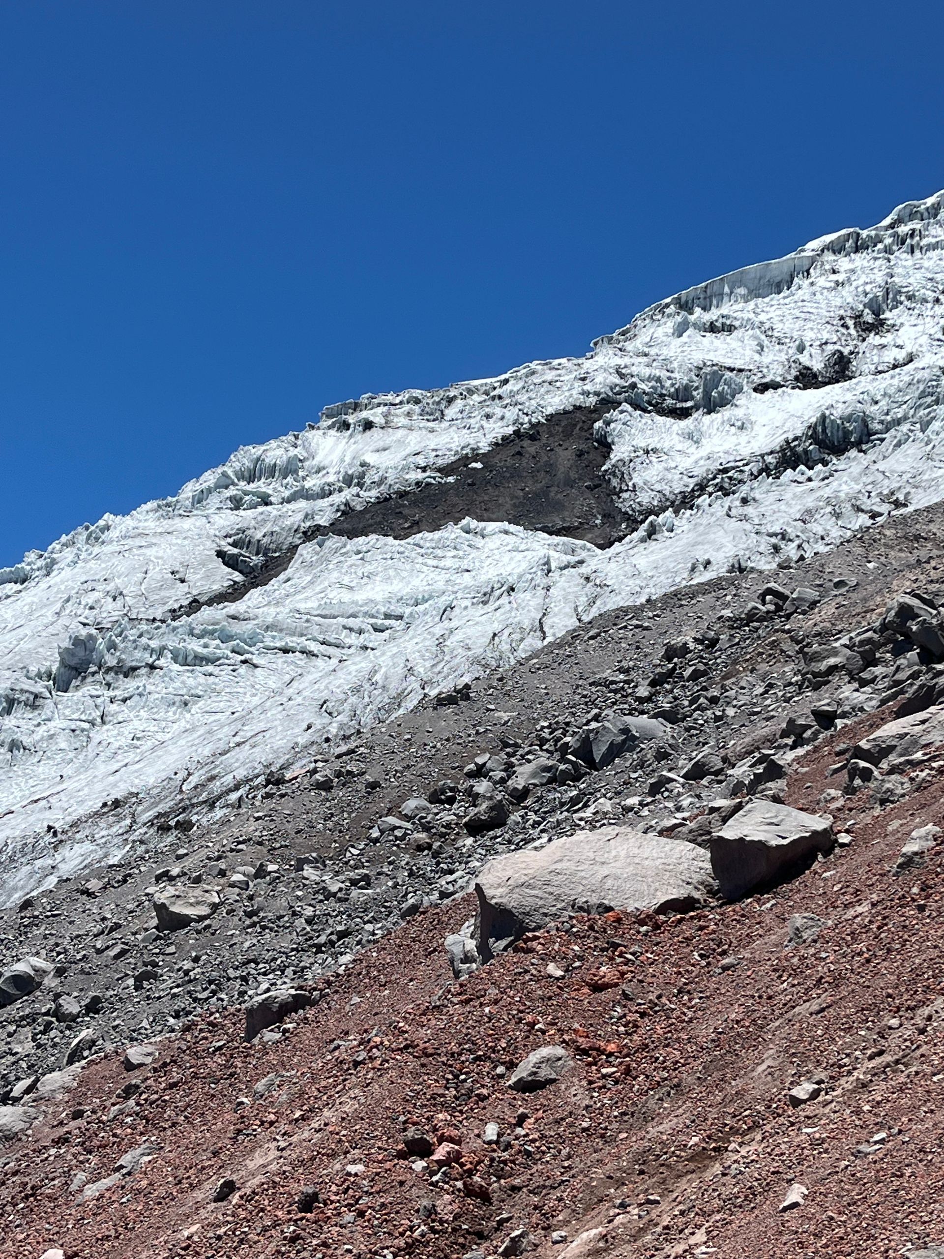
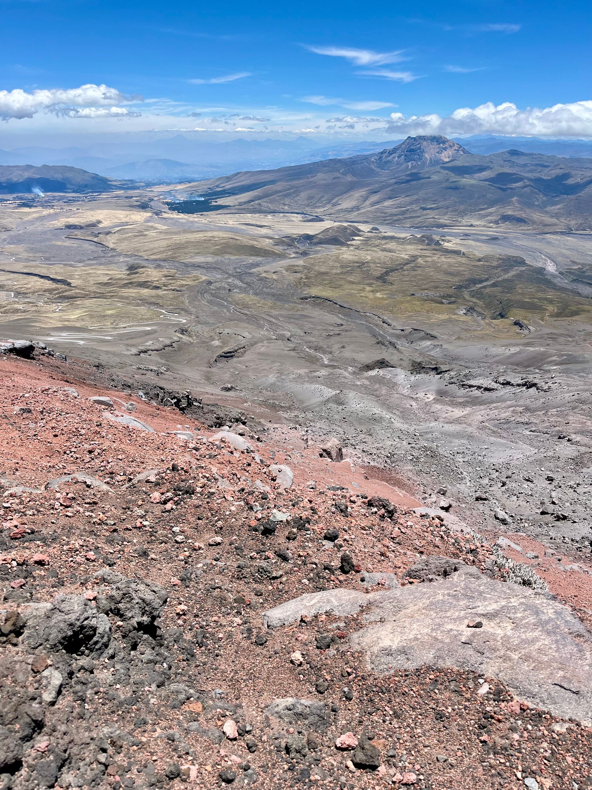
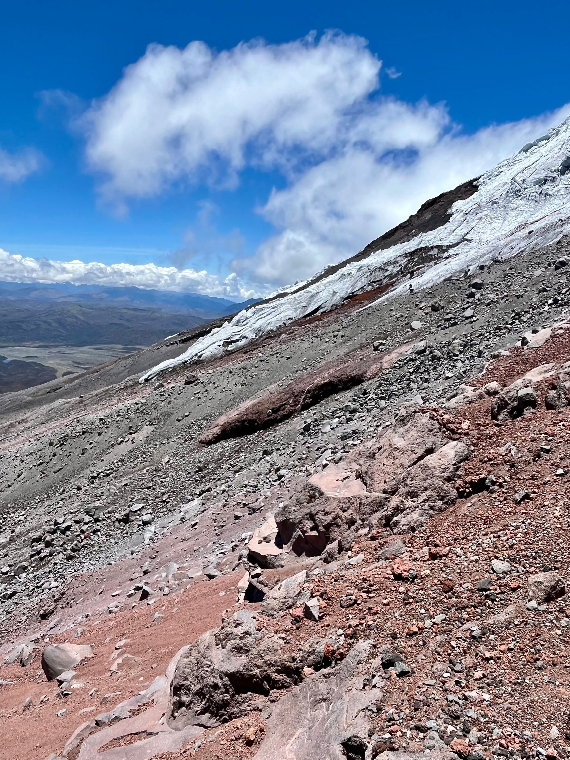
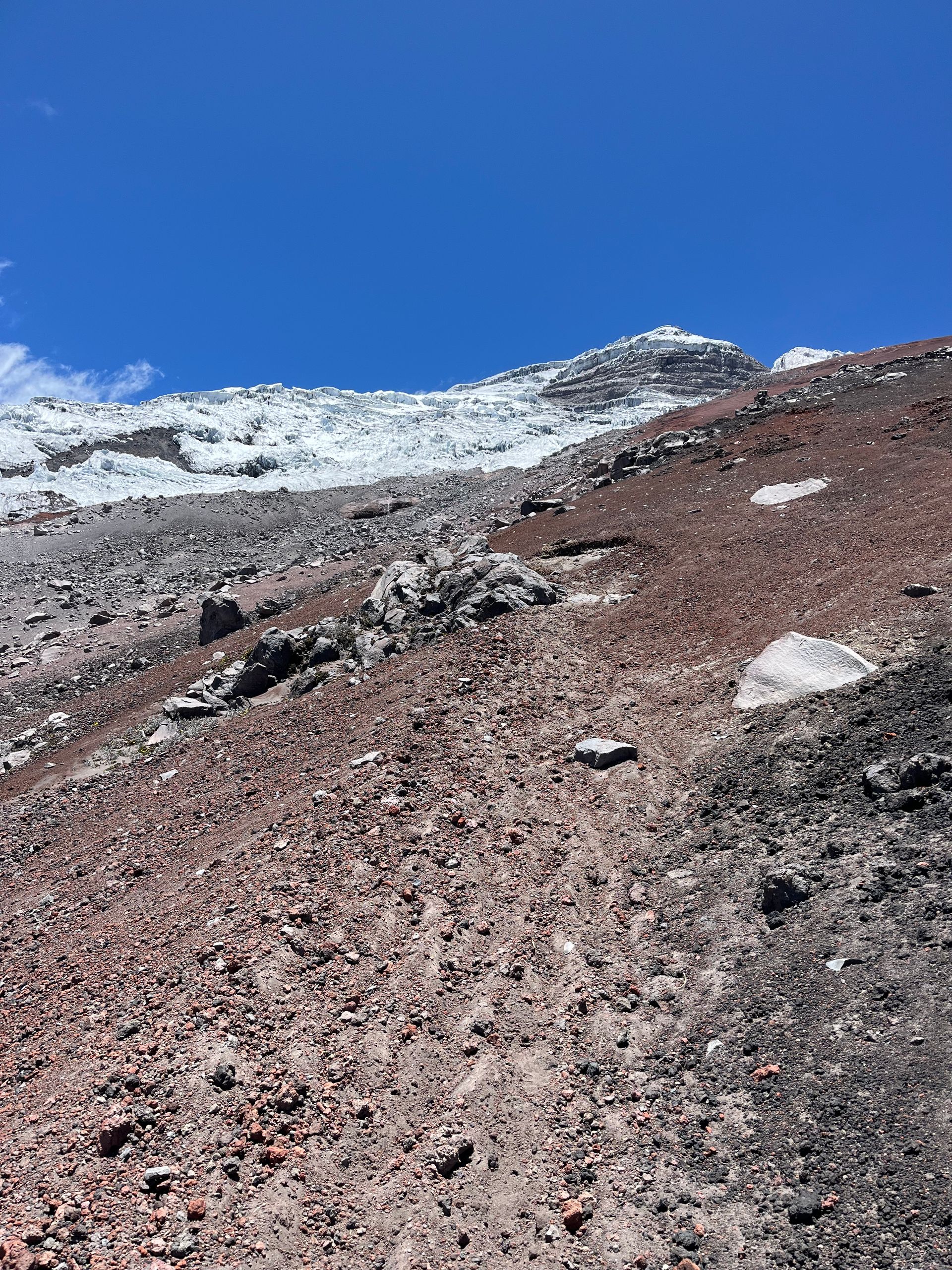
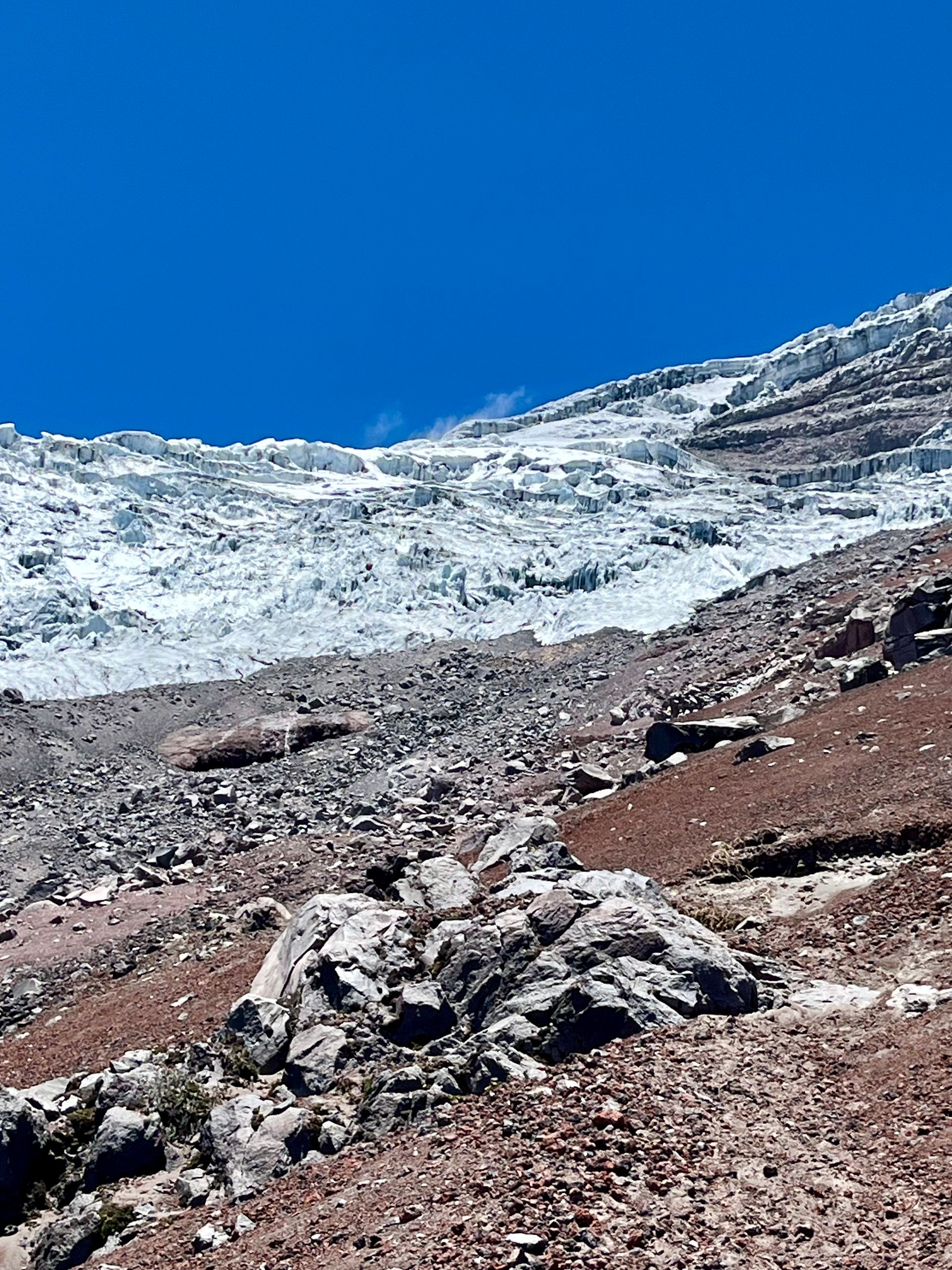
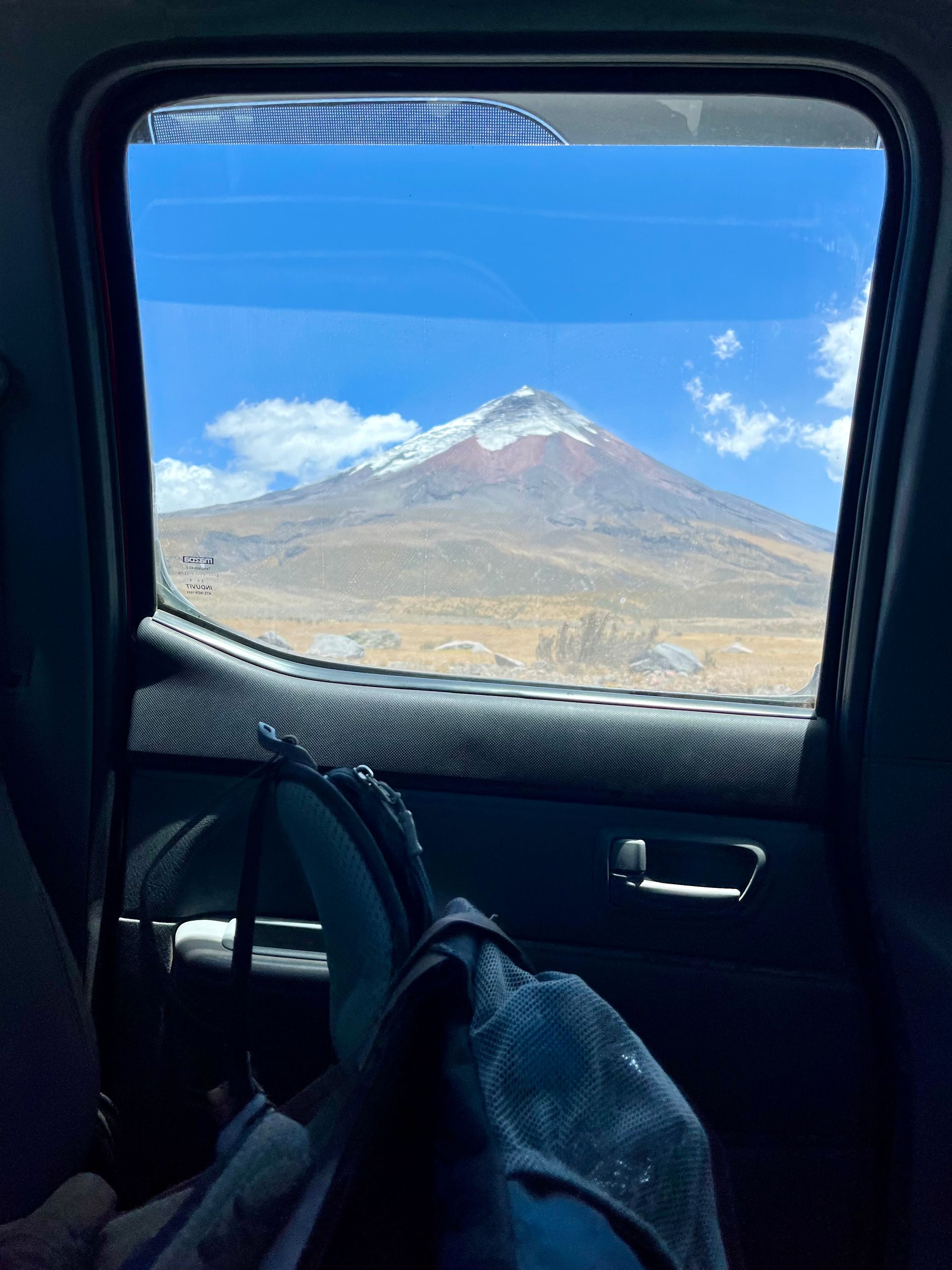
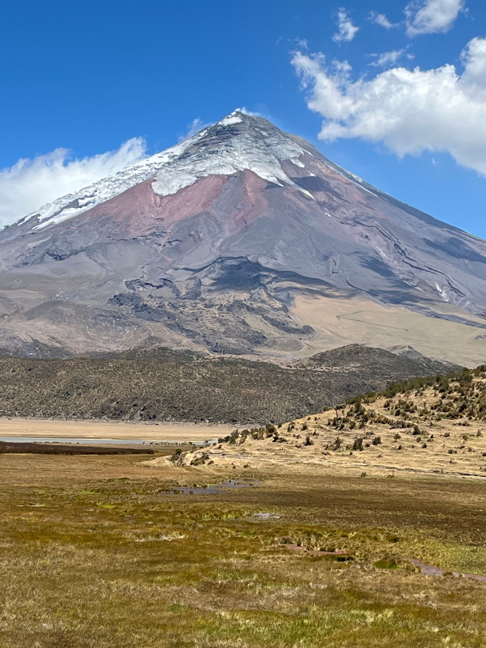
At 8 am the next morning, we were picked up by our driver and headed toward the national park. Our bird expert (by the way, wearing a fitting parrot shirt) was dropped off halfway, and I continued my ascent. Already along the way, Cotopaxi offered breathtaking views, and the clouds from the previous day had almost completely cleared. From the window of the car, I could hardly take my eyes off the beautifully shaped volcano, and we stopped a few times to enjoy the view in peace. We were almost the only vehicle on the gravel road, and as we climbed higher, the road conditions became increasingly challenging. Lucy, our driver, and the somewhat older pickup managed this excellently, and after about 1.5 hours, we arrived at the last drivable point of the road at 4,600 m. I grabbed my backpack and set off towards the summit. Already upon exiting, an incredibly strong wind hit my face, and the ascent on the still clearly recognizable path was only possible tightly bundled up with a hood over my head. The first 45 minutes towards the refuge I managed reasonably well; the path wound steeply but was relatively passable up to over 4,800 m. Although I felt the altitude every now and then, it was all within a relaxed framework; the only challenge was the wind. Upon arriving at the refuge (the last hut before the summit), I took a short break before the plan was to push on to the edge of the glacier. Climbing to the summit of Cotopaxi is generally possible, but one should be well prepared, and have experience in mountaineering. Parts of the trail further up are reportedly only navigable with icy climbing and are described as extremely strenuous. In principle, I would be tempted to make such a climb; however, for today, the glacier edge lower down would suffice. At the hut, I met a group of Canadians with a mountain guide, whom I asked about the way to the glacier. According to him, there were two options: one that goes above 5,300 m, which is more of a long route, and the other to just below 5,200 m. I chose the path that rises directly behind the hut with the longer variant, and the mountain guide wished me well with the words “be careful.” So off I went, and shortly after starting my ascent, I realized that the path was extremely steep and challenging. It was basically just a gravel slope up, and a constant march was impossible. I was going up 3 steps and down 2, and the height of about 5,000 m was noticeably taxing my endurance. After about 40 minutes of battling with the mountain and the view upwards, which offered no improvement, I decided to turn back. It was simply too steep, and I wasn’t equipped with the right gear to reach the glacier in a reasonable time. So, it was back down to the refuge. There, I took a short break before taking the shorter way up. The first part was similar to the way to the hut; however, after a short while, the visible path branched off into several forks, and I could only vaguely guess where I should go. Since no other people were walking in this part of the mountain, navigating became pretty tricky. I thought I was on the right track and followed the seemingly visible path until at some point, I could only vaguely guess where I should be moving. The terrain became steeper, and I “climbed” up the slope on all fours, as walking upright was no longer feasible due to the conditions. To make matters worse, rocks appeared to my left with a steep drop behind them. I continued climbing up the edge, but I didn’t feel very comfortable in that terrain. With each upward movement, parts of the ground, stones, and boulders would slide down the slope, then lead directly over the edge to tumble down. Okay, this couldn’t possibly be the right way; in fact, it was no longer any path but rather I was moving through free terrain, and it had become very, very steep. Since there were a few larger boulders just above me, I resolved to climb a little further up to somehow get a somewhat stable foothold and come up with a plan for how to proceed. Unfortunately, that wasn’t a very good idea, as the loose stones and the incline made it hardly possible for me to stabilize myself, and I kept slipping back a few meters down, always with a view of the cliff that would mean an uncontrolled fall. This situation was very uncomfortable, especially since the medium-sized rocks to my left and right, that I wanted to lean on, were partly loose and would tumble down the slope the moment I attempted to grab them. Moving safely on the steep slope was quite stressful and not manageable at all, and what truly worried me was the drop that was not far below me, and I had to concentrate hard not to lose my grip and slide down. Finally, I reached one of the rocks and pulled myself up, maneuvering my body onto the stone. All the loose stones beneath my feet slipped down, the altimeter showed 5,180 m, and it was quite clear that I was off the path and in a section that was no longer simply “walkable.” I took a quick breath and scanned the area. An estimated 200 m below, I saw 3 people on a kind of path, completely off the path I had taken. Okay, that must be the right way to the glacier edge, the lower end of which was now to my right but quite a bit below my position. While it was relatively close to the glacier, the part further down was probably the actual goal for the day. It didn’t matter; the main thing was to somehow safely get back to one of the paths leading back to the refuge. I decided that the most logical goal would be to head towards the path I had seen further down, and to do that while keeping as much distance from the edge as possible. Unfortunately, that wasn’t easily possible, so I let myself slide more or less controlled towards the edge (that was a real adrenaline kick - not in a positive way, as it was truly not controlled at all) and then moved further sideways and somewhat down on the slightly flatter part directly at the cliff. Since the edge didn’t run parallel but sloped down along the ridge of the relief, I had to constantly shift a bit sideways and downwards, which could only be done sitting on my backside or lying down with my feet as brakes. It somehow reminded me of the quality of the braking systems of Bolivian buses. But it worked somehow. Eventually, I reached the part of the slope where I could no longer fall and let myself slide down until I finally arrived back on the flatter part of the slope, allowing me to descend upright. Phew, what a situation; all in all, it wasn’t exactly a pleasant feeling moving along an edge and the terrain being so unpredictable that you didn’t know whether you would slip down 20 centimeters or 2 meters with the next movement.
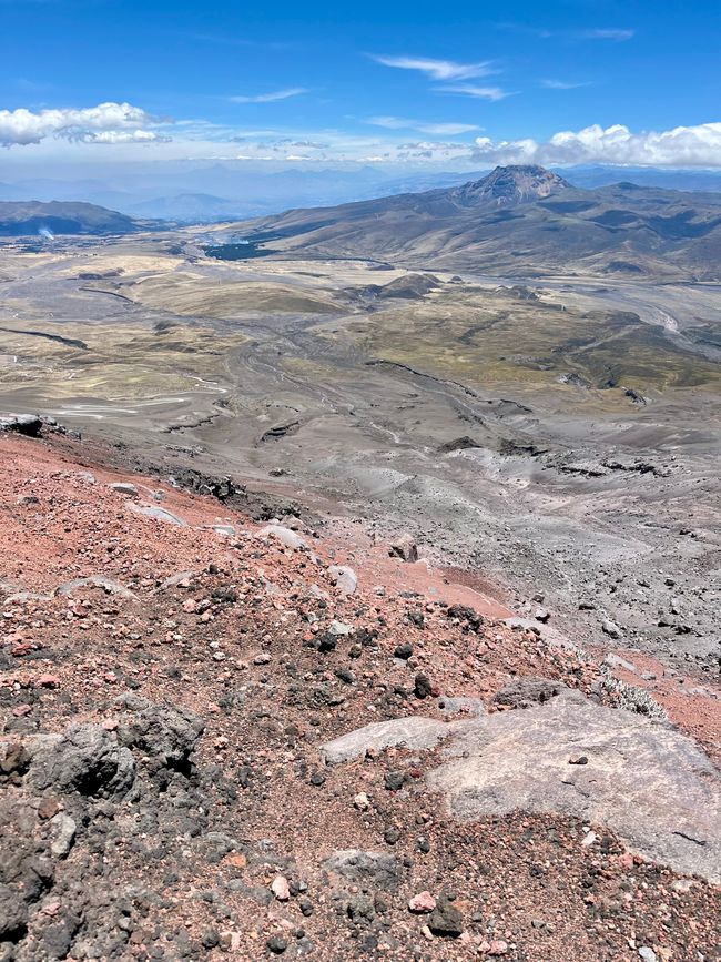
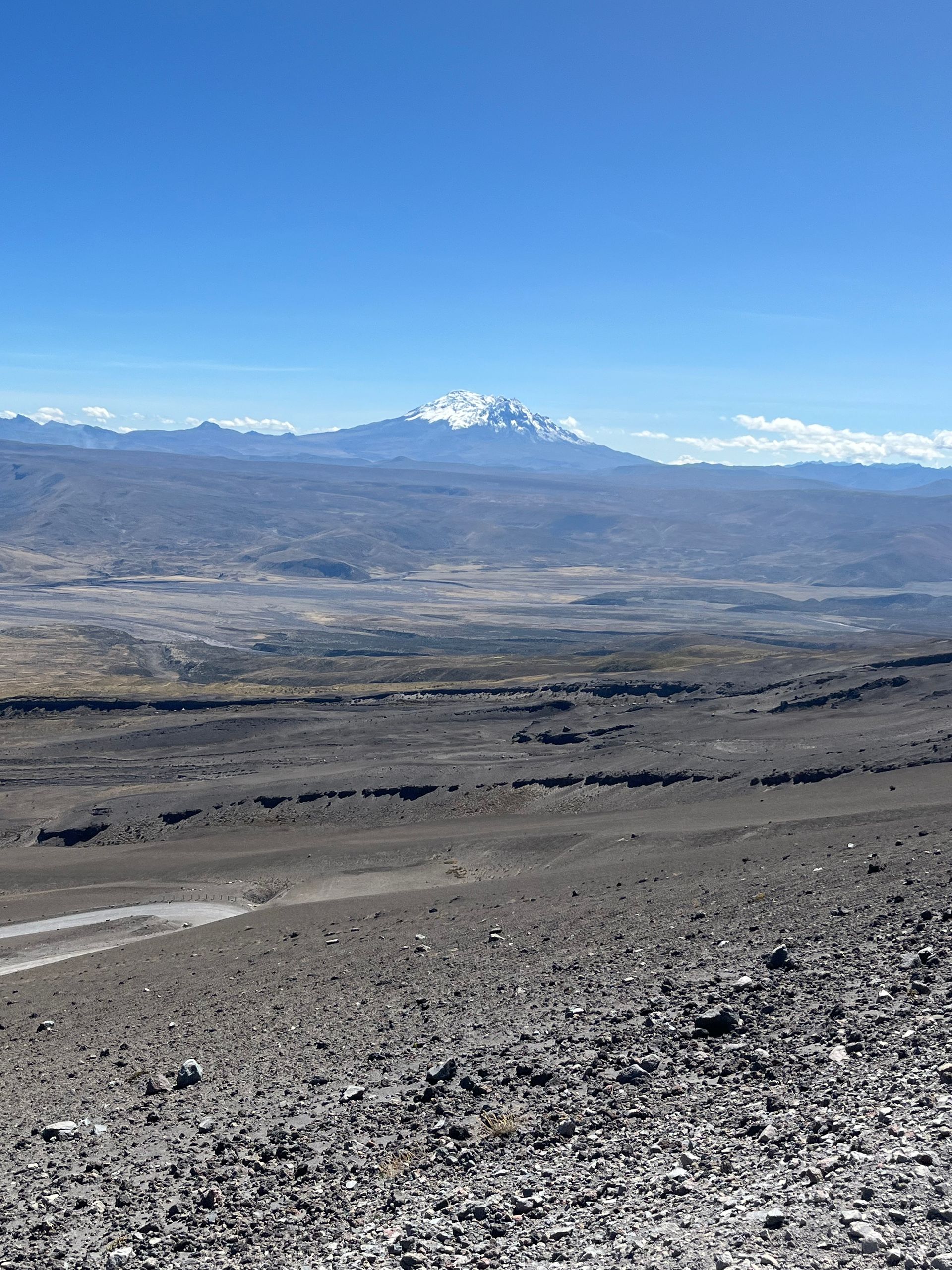
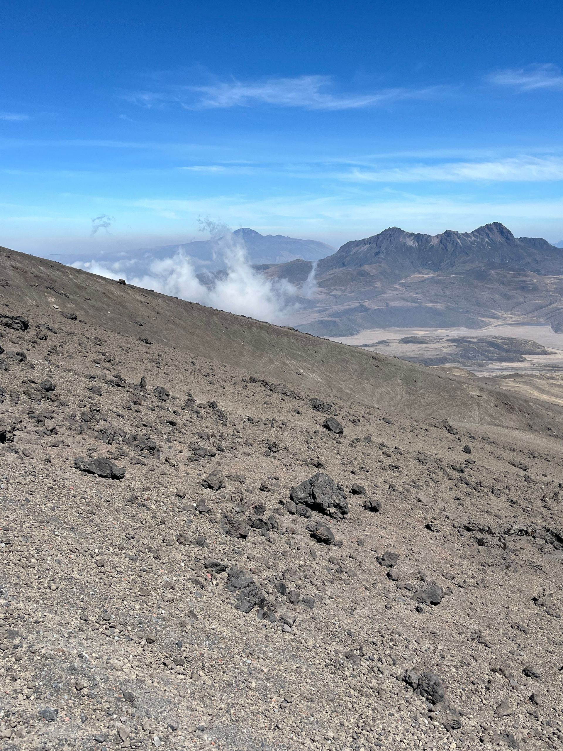
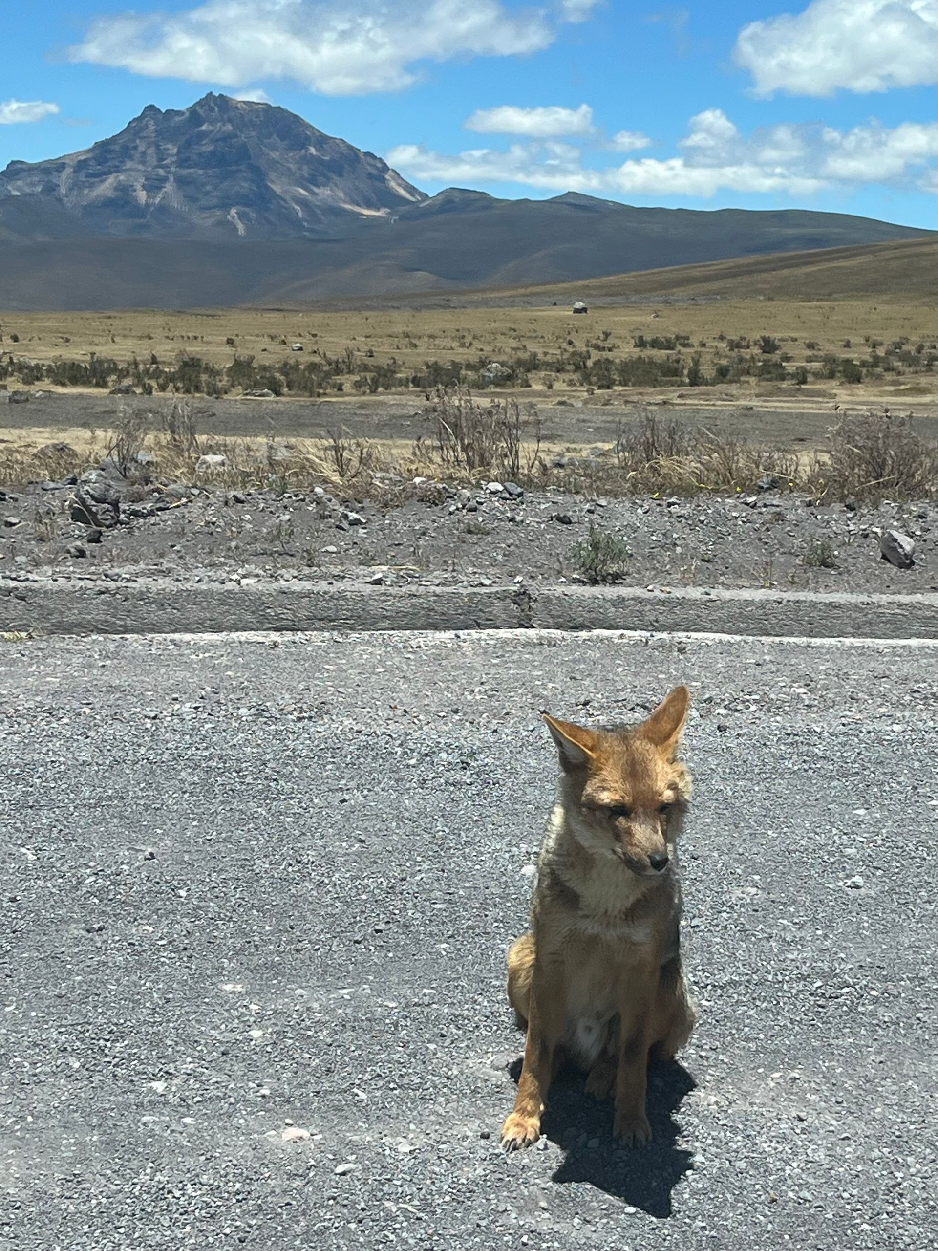
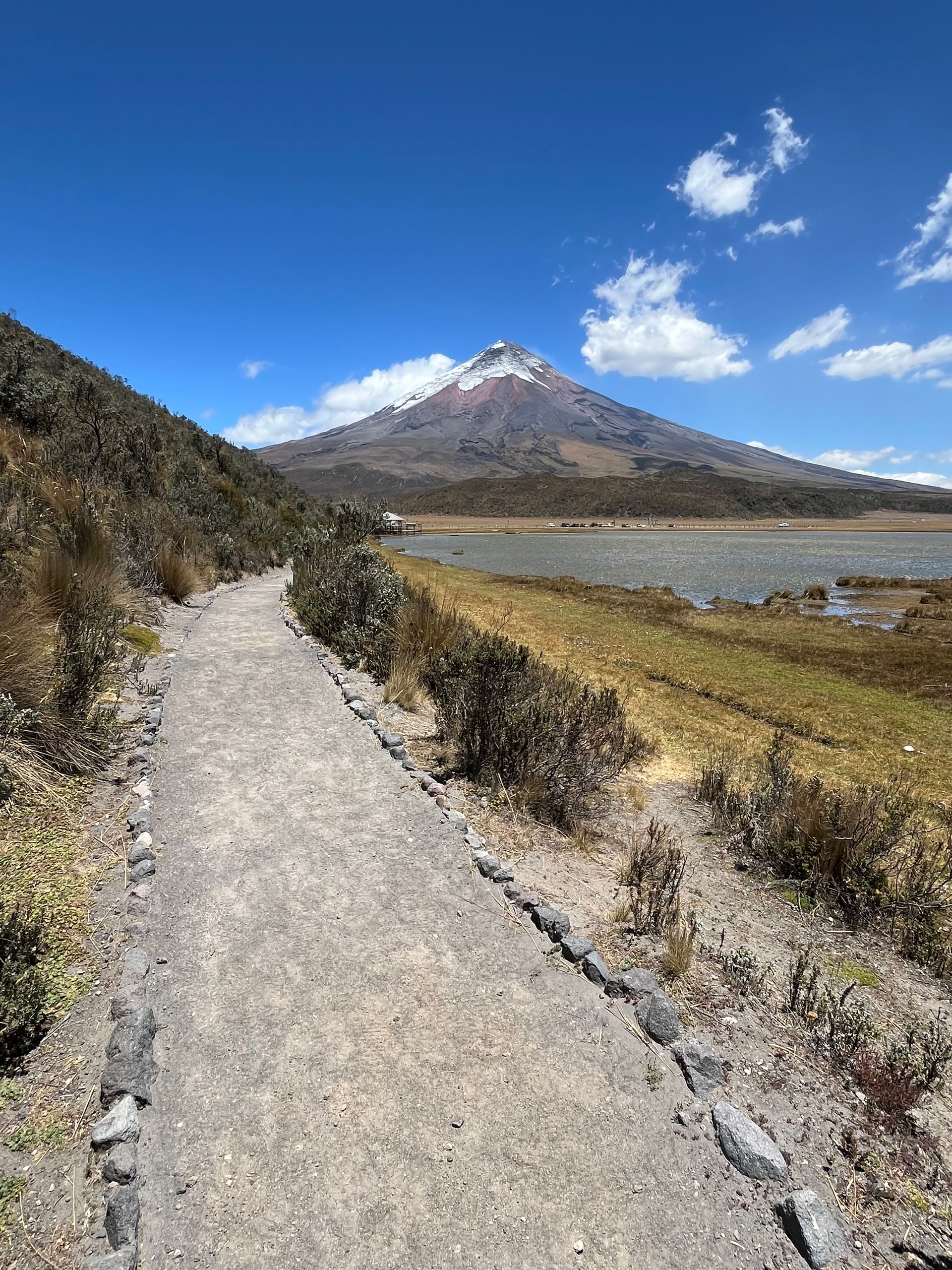
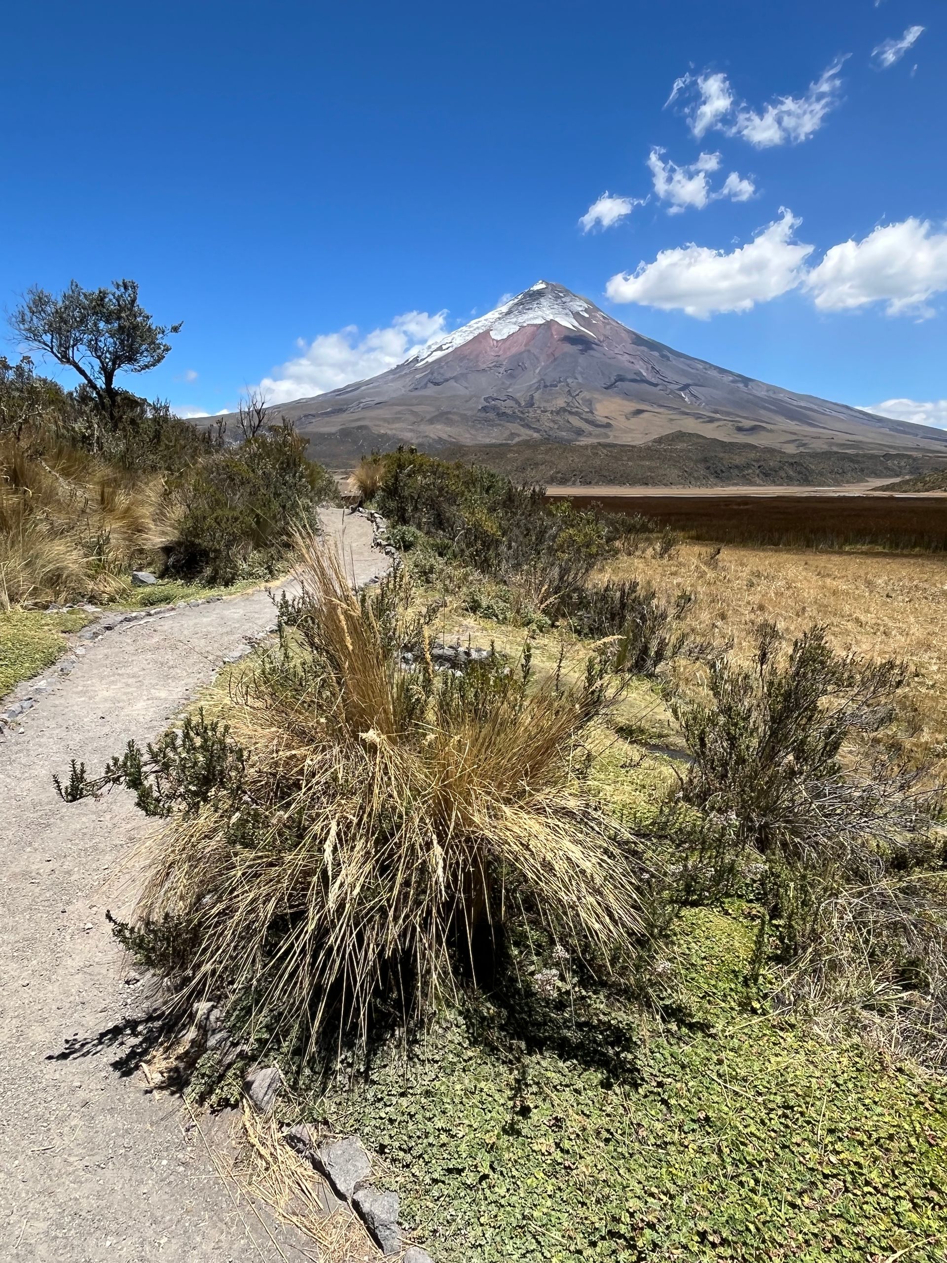
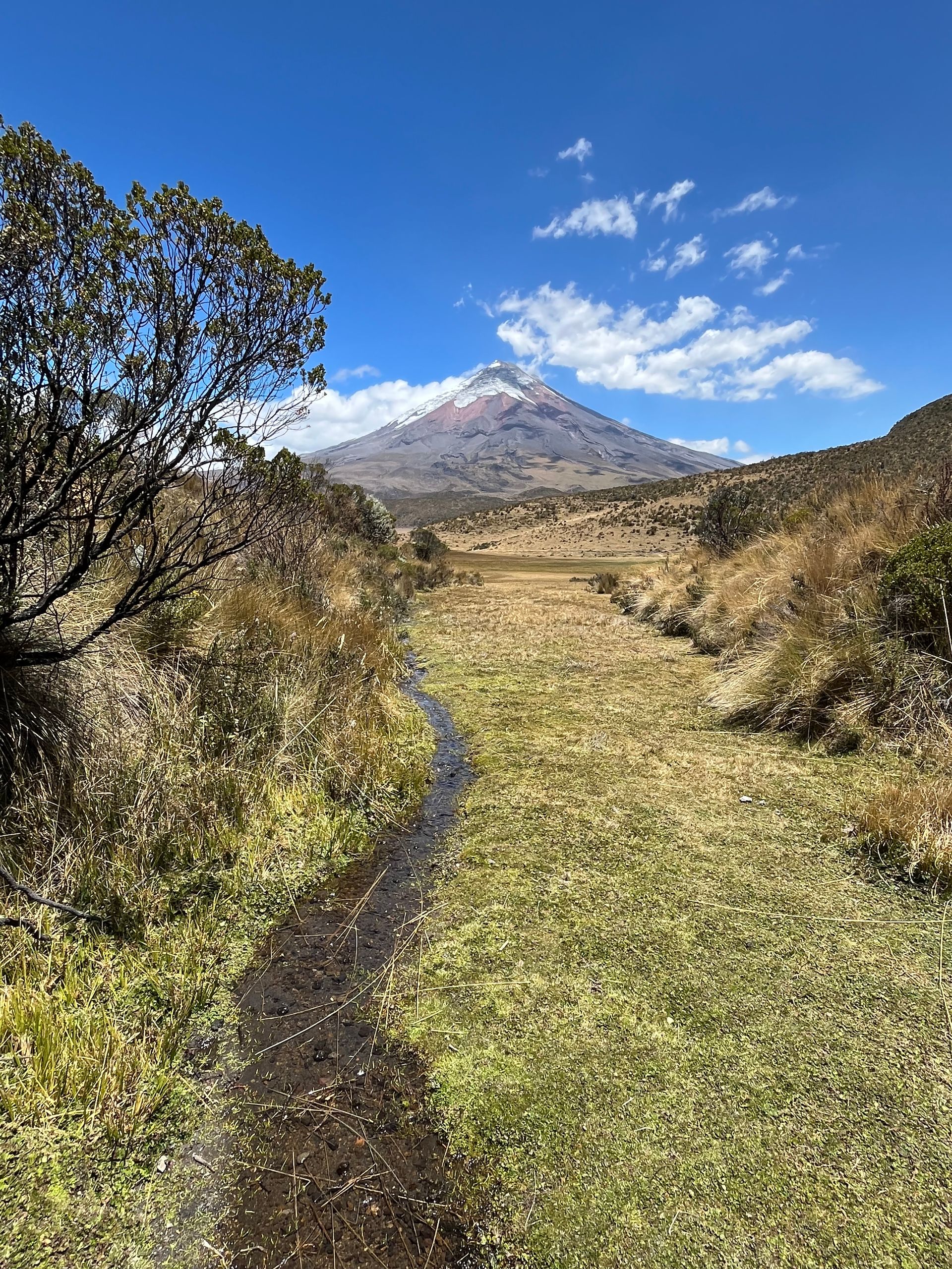
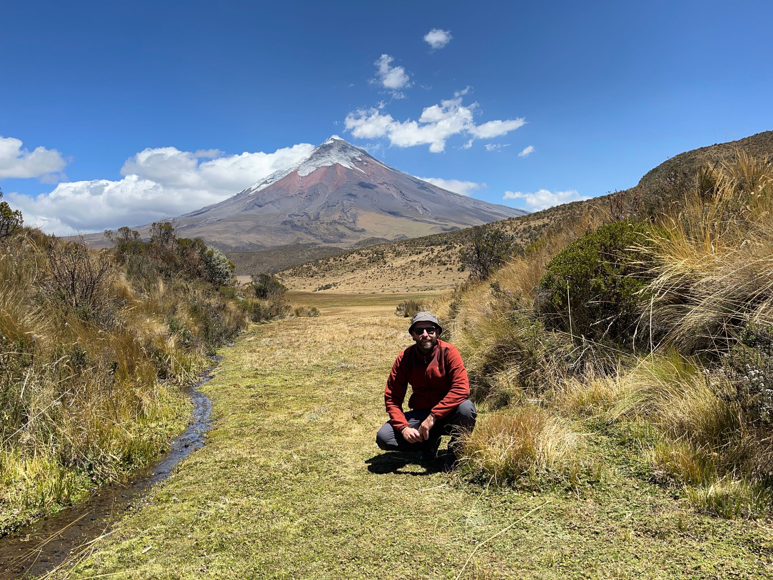
After all the excitement, I descended the rest of the way down to the parking lot and enjoyed the views of the other three volcanoes in the area, Ruminahui, Sincholagua, and Antisana. We then drove back to the valley and made a stop at Laguna de Limpiopunga, which I peacefully walked around for a hike. During the 2 hours, I enjoyed the wonderful view of Cotopaxi in the best weather conditions. While yesterday everything had been cloudy, only a few scattered clouds clouded the sky today. One could almost call it royal weather, and it’s hard to get tired of such a dreamlike backdrop. For me, Cotopaxi is perhaps the most beautiful volcano I have had the pleasure of enjoying live so far.
Despite the little mishap, it was a really wonderful day, and I fully enjoyed the hike; also, the adrenaline from the ascent of Cotopaxi was slowly leaving my body.
The rest of the day was spent in the accommodation by the fireplace and with another dinner by candlelight, as the power went out again for several hours. Tomorrow, we should head towards Quito, and I was quite curious about the conditions I would find there.