
37 to Domažlice
Route: 112 kilometers, cumulative: 3,345 kilometers | Elevation: 1,060, cumulative elevation: 13,870 meters, distance from home: 439 kilometers (as the crow flies) ...

Published: 18.05.2025
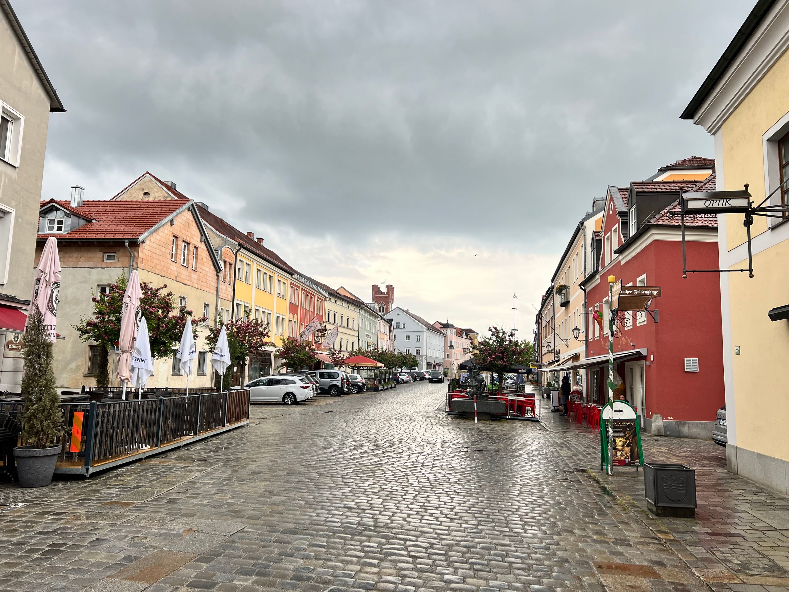
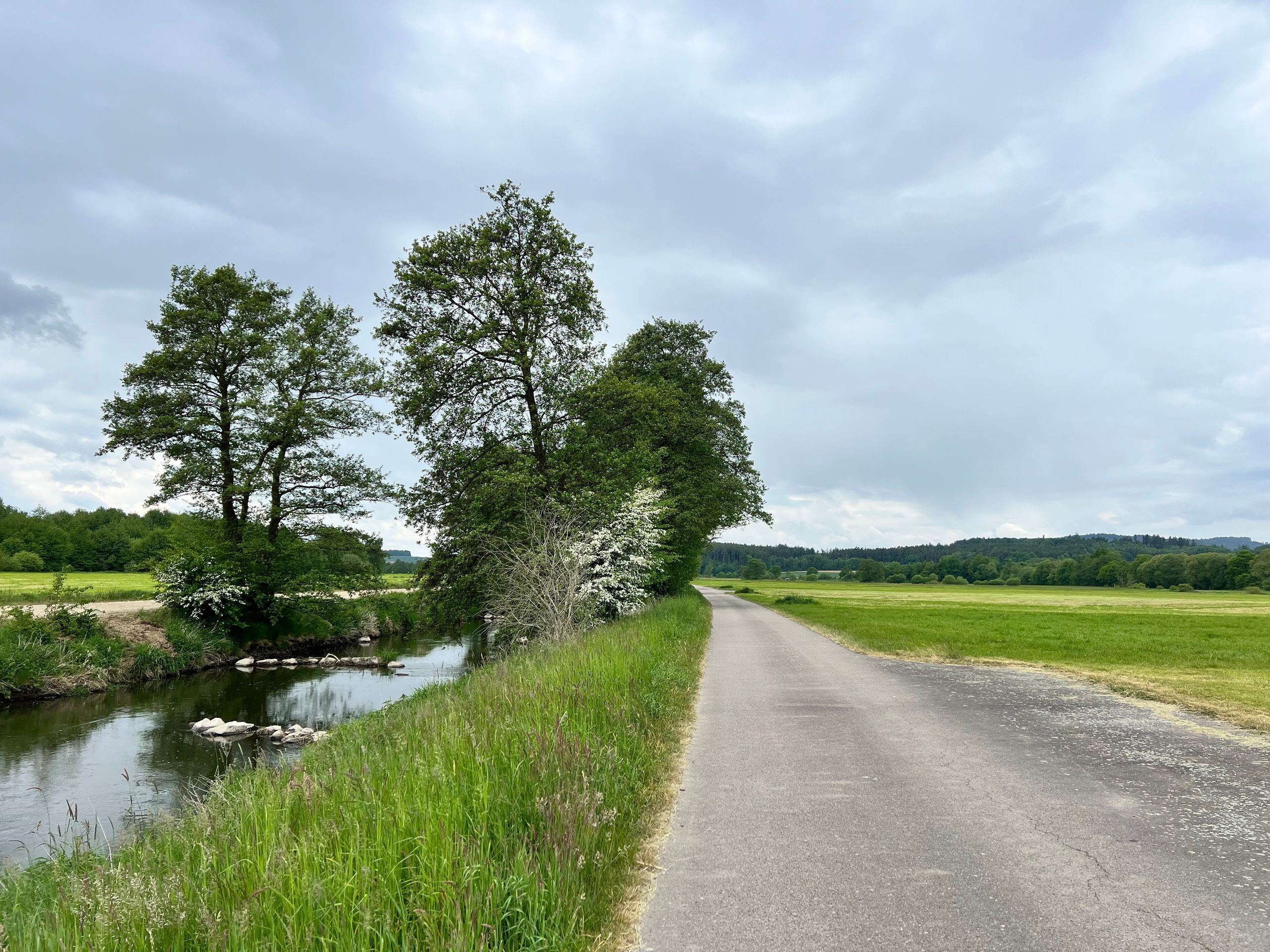
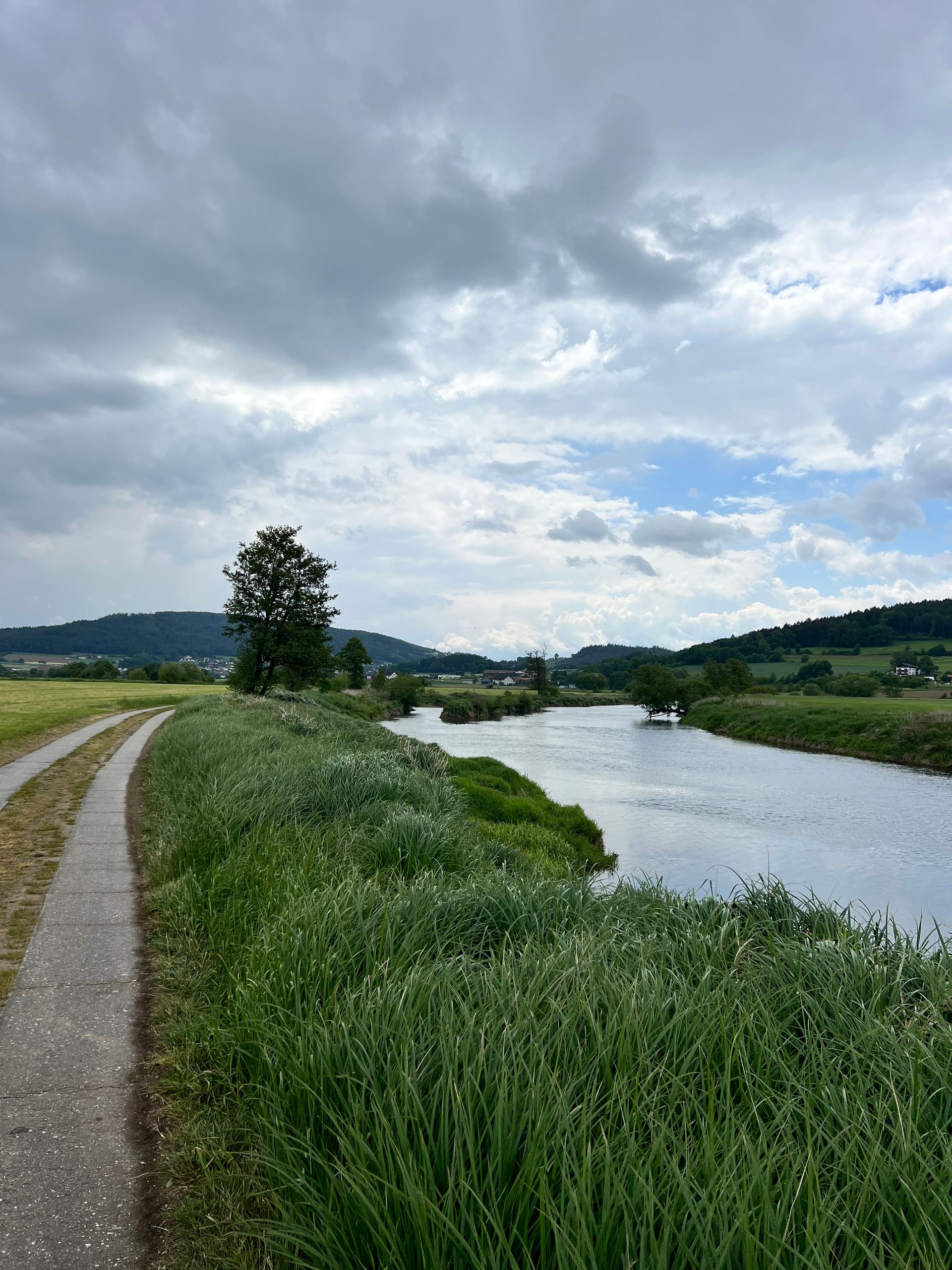
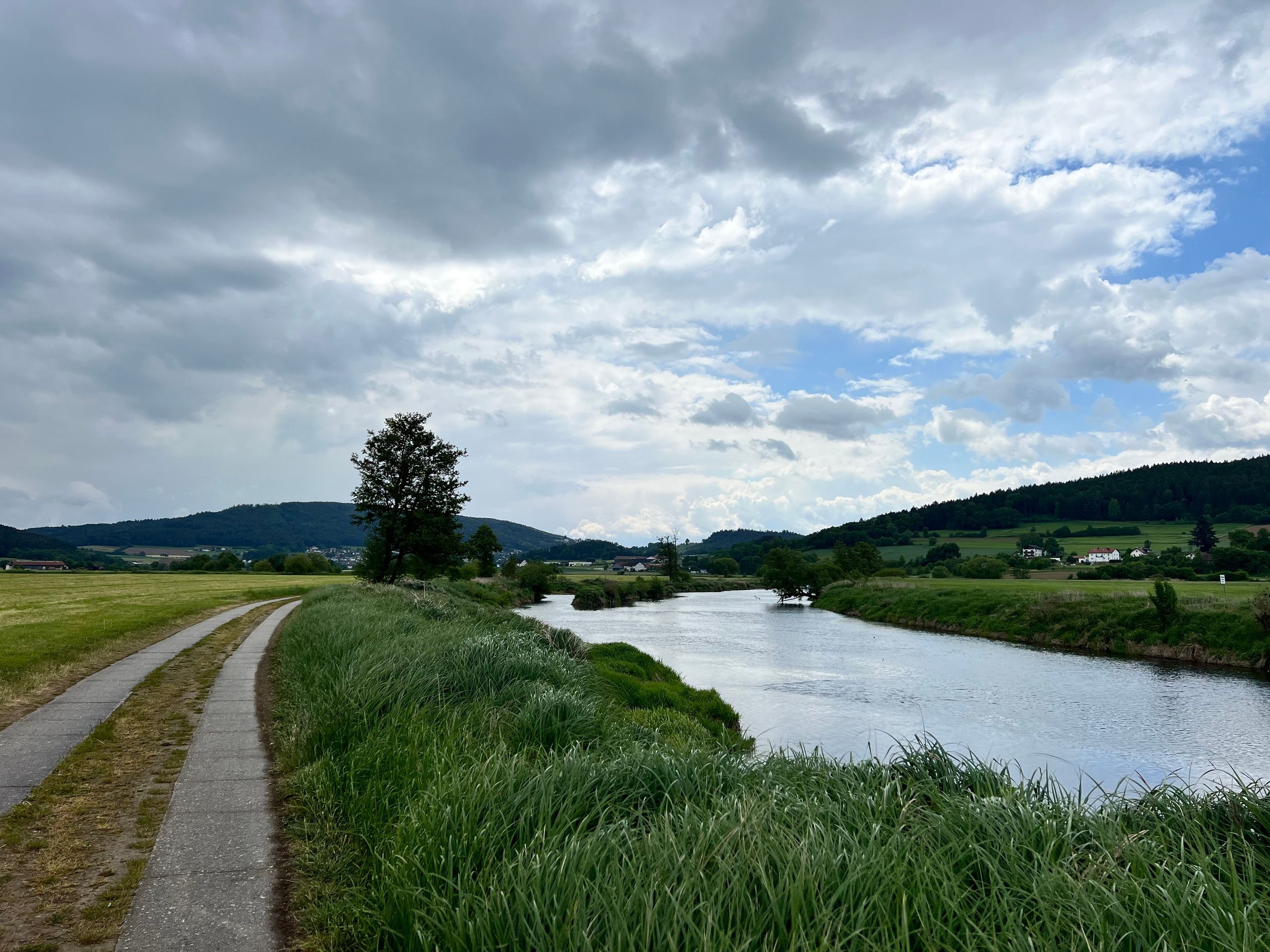
Route: 103 kilometers, total: 3,448 kilometers | Elevation: 580, cumulative elevation 14,450 meters, distance from home: 384 kilometers (as the crow flies)
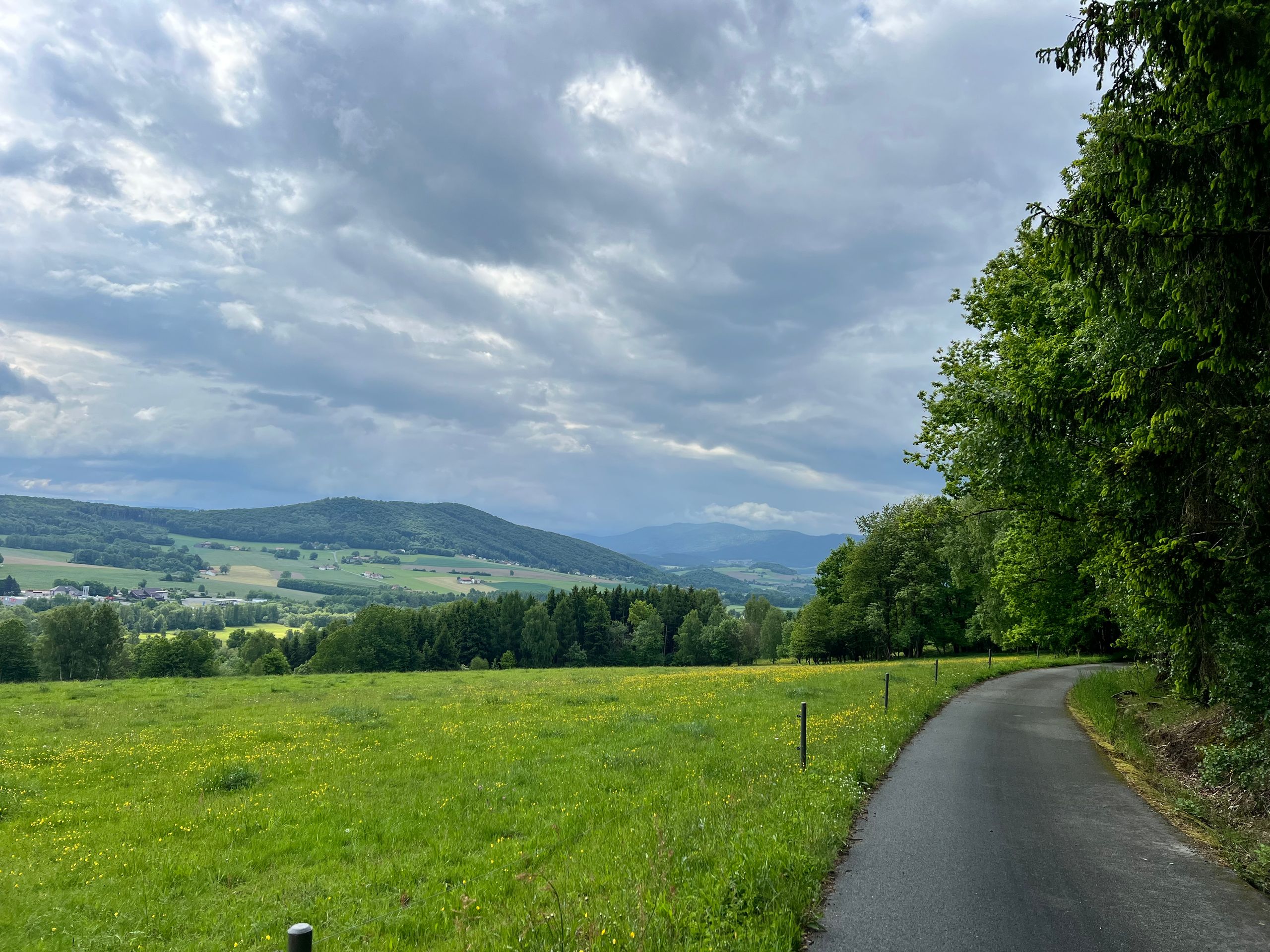
Today's stage could have the subtitle: variable. This applies to both the weather and the experiences.
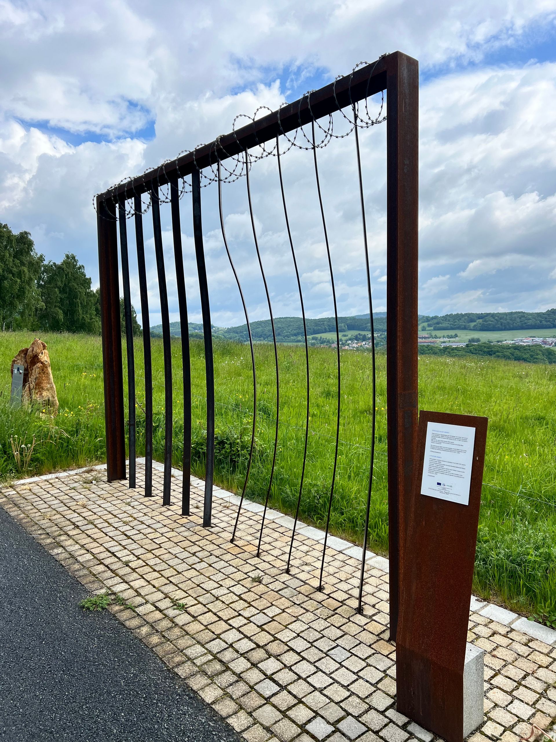
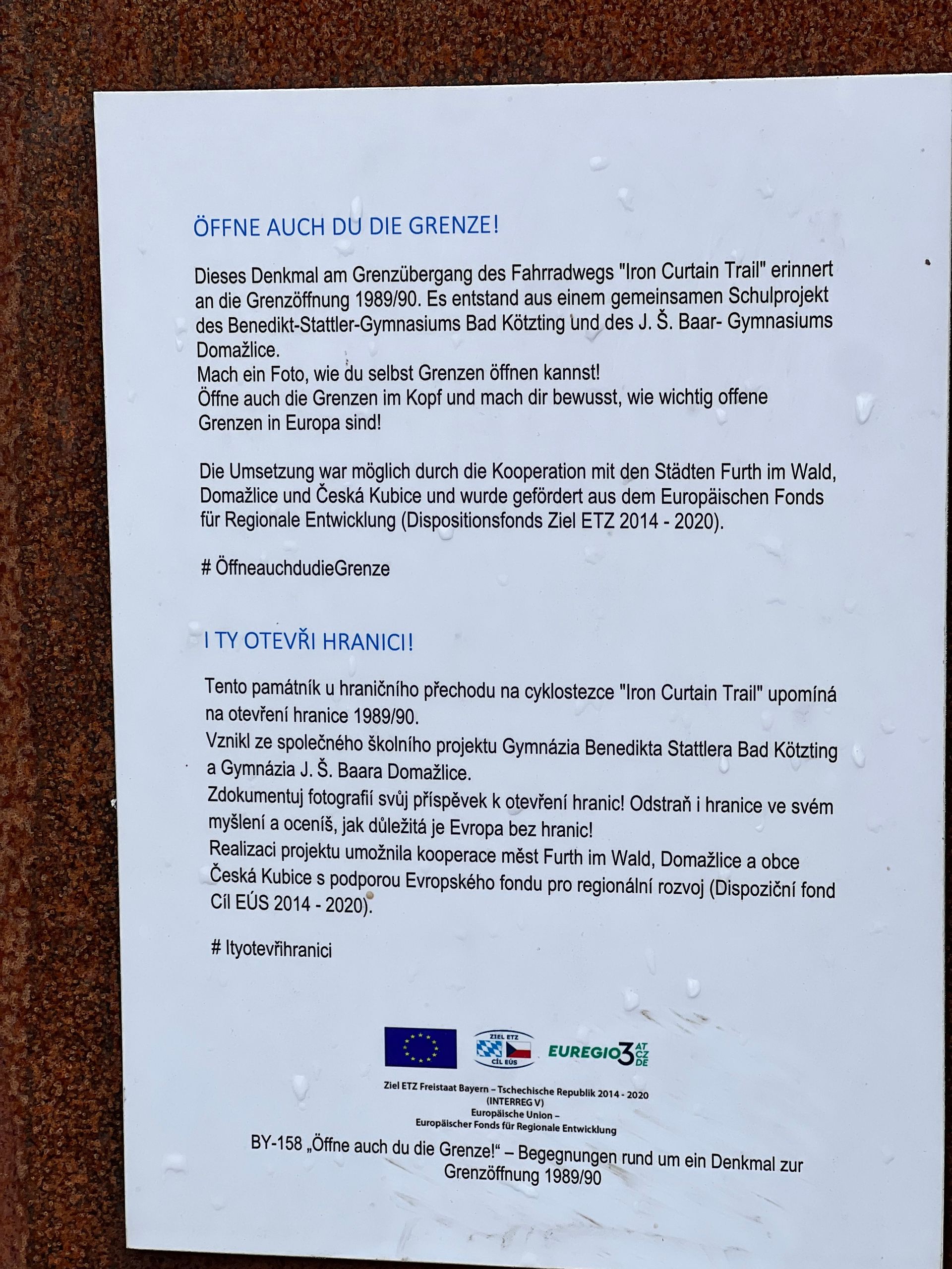
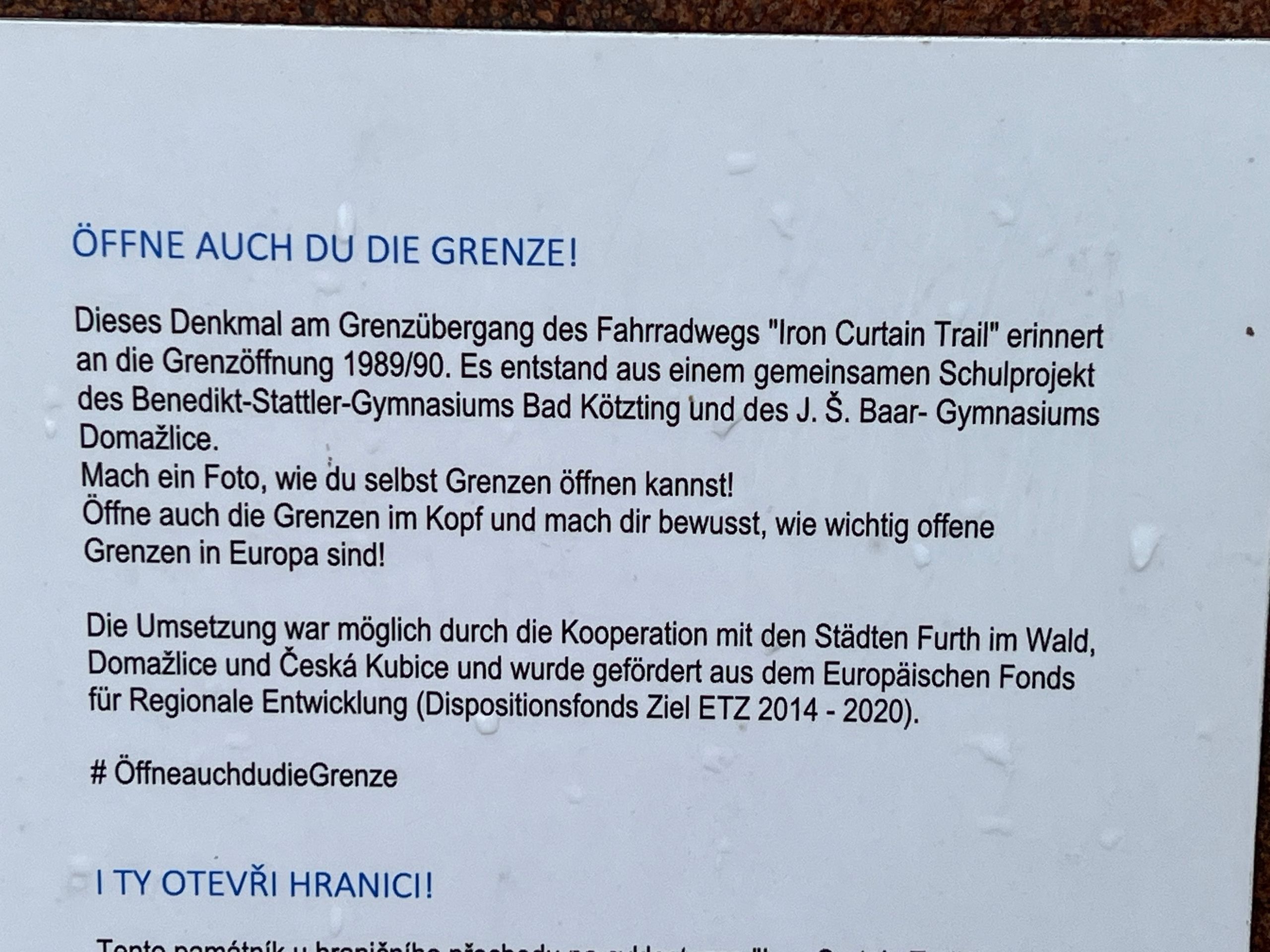
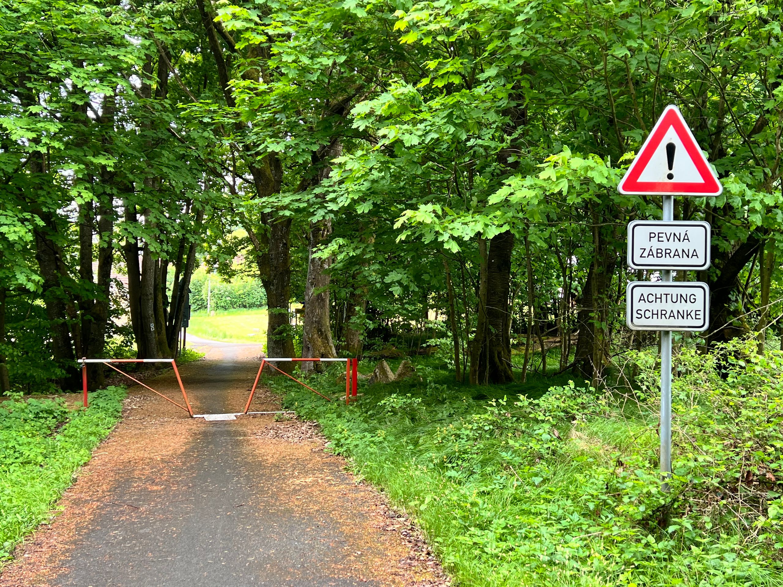
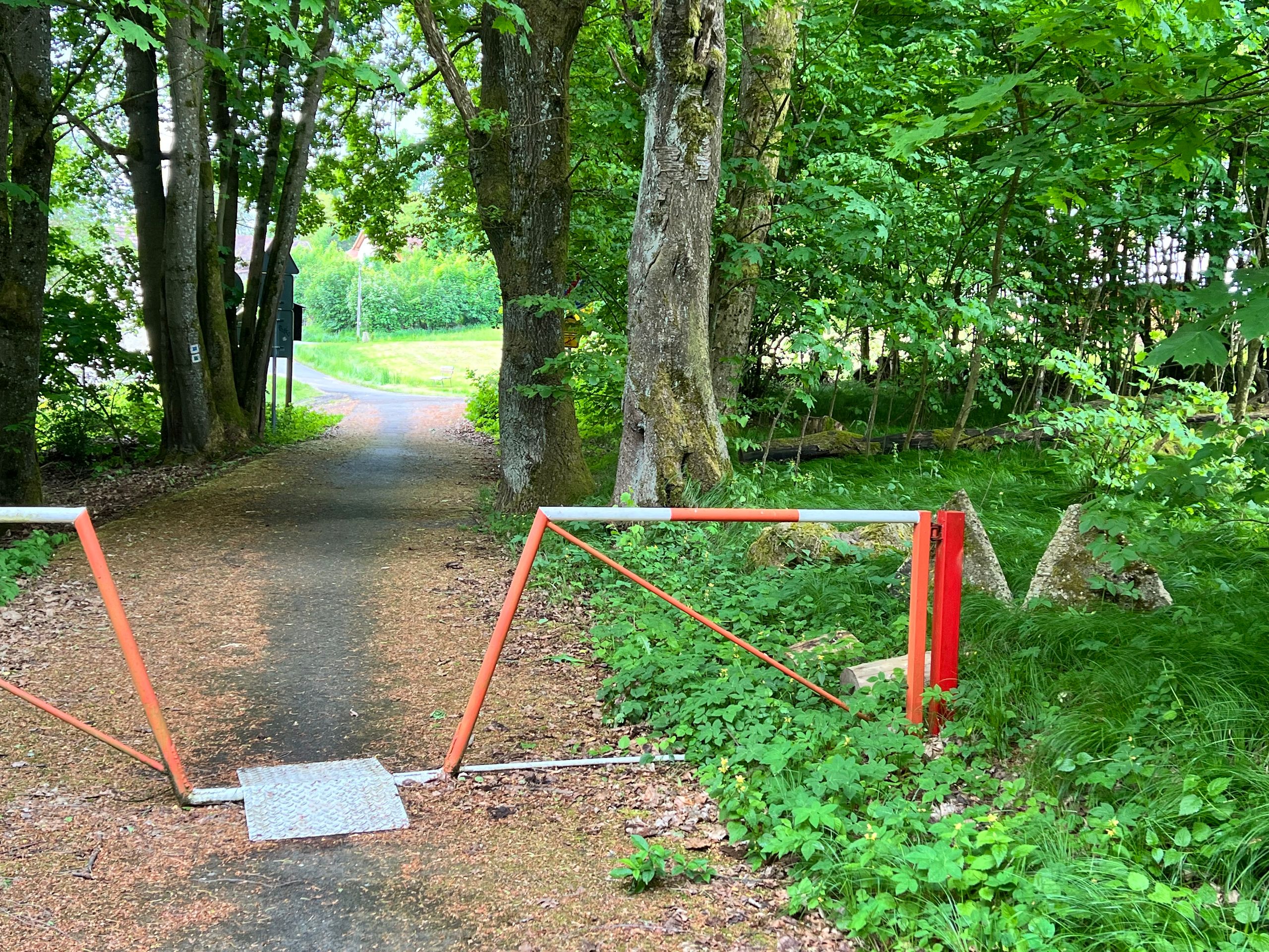
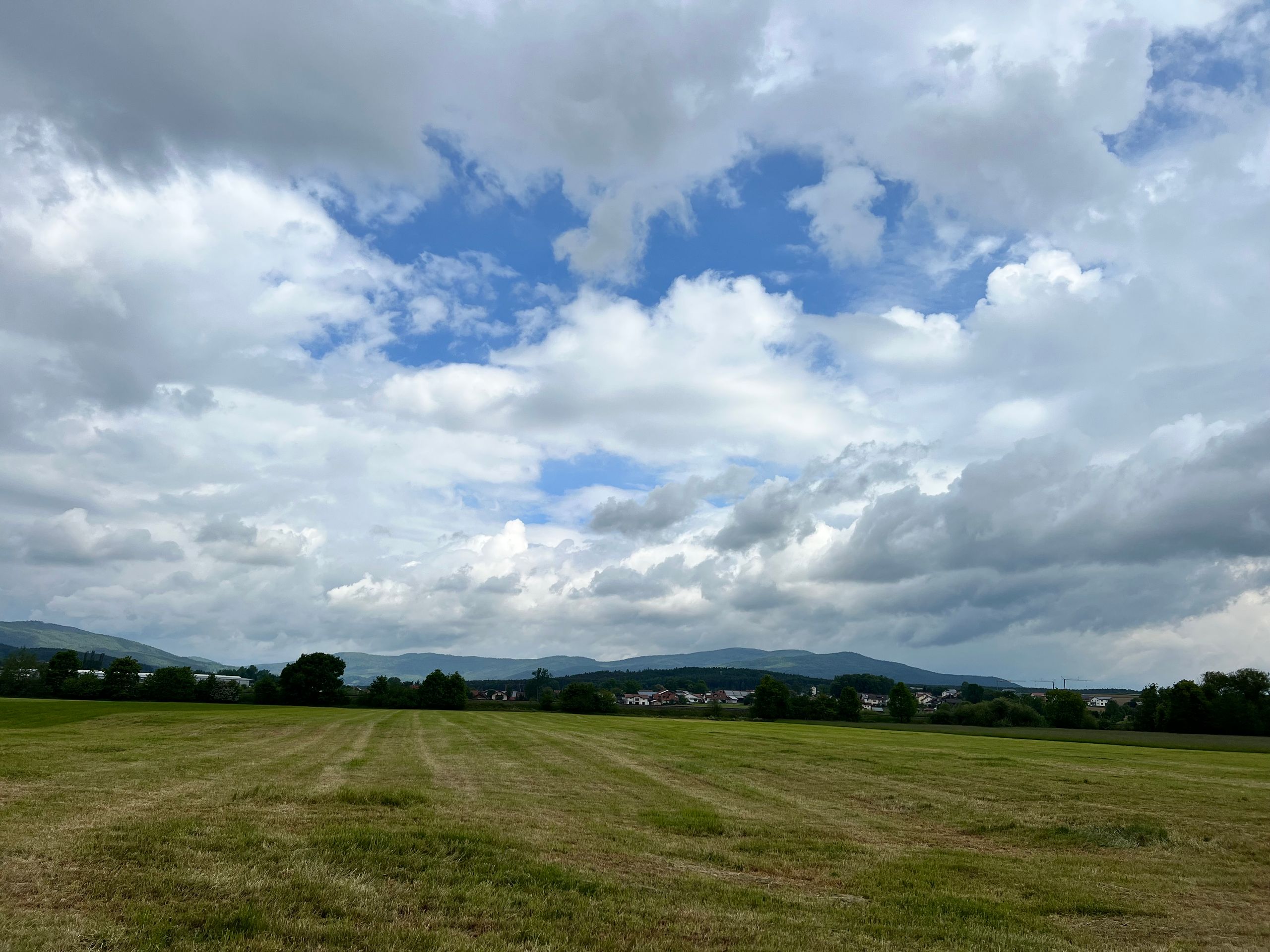
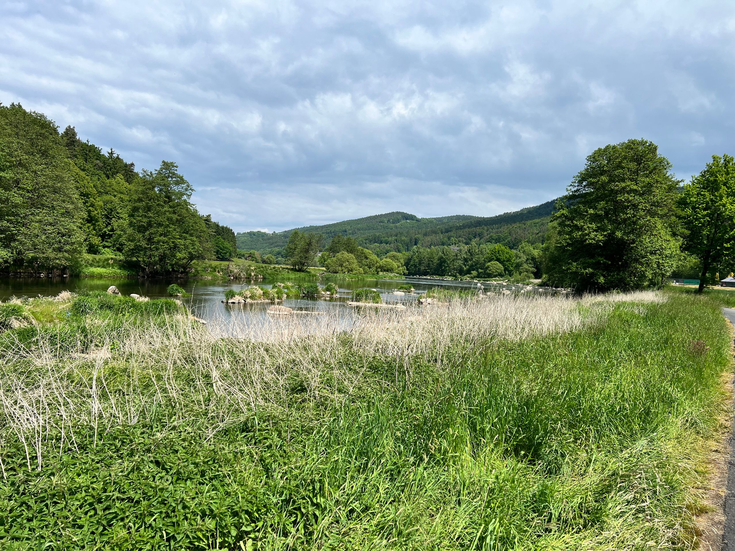
Let me start with the simple part: the weather! For my route, there was a 20% chance of light rain. It rained during breakfast, but then it stopped very quickly. So, I hurried along, and the weather became more pleasant. I left Domazlice dry, and just after a few kilometers and some elevation, I reached the former Iron Curtain and shortly afterward the border crossing, which is also only for cyclists and pedestrians.
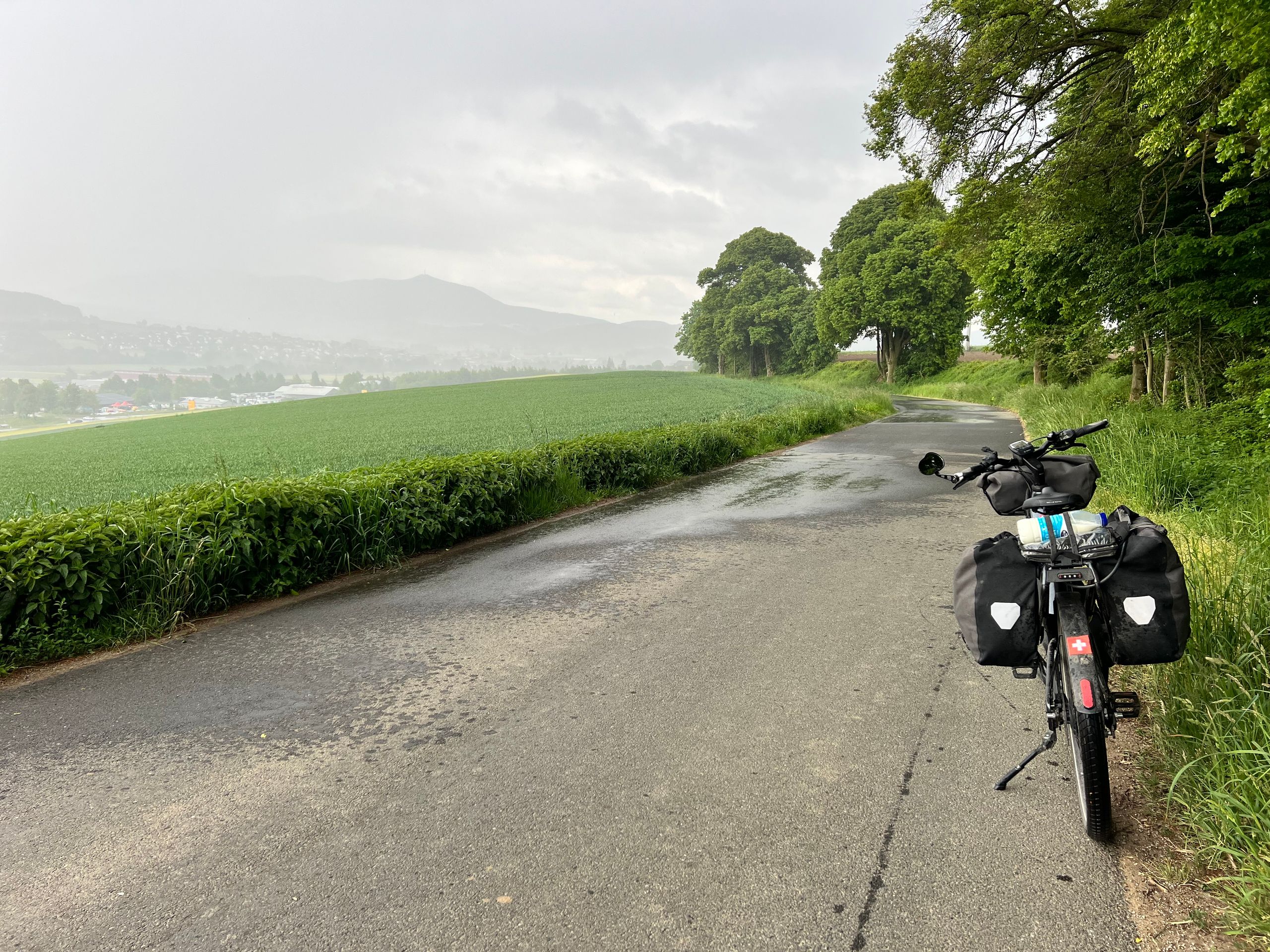
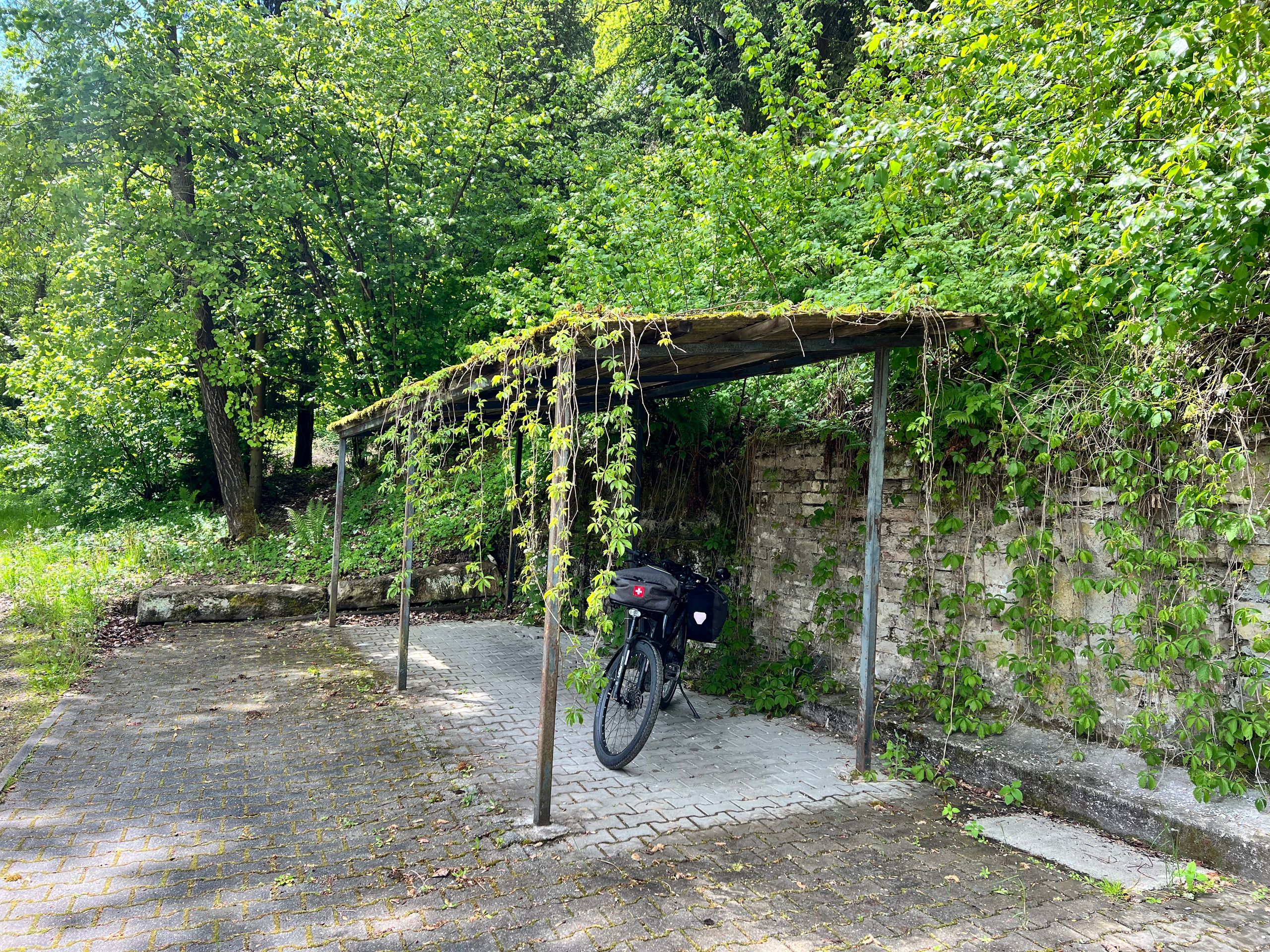
But then it started to rain, first lightly and then increasingly heavier. I found a large tree with bushes where I wanted to wait in the dry. After about 20 minutes, it was over, and I set off down to Furth im Wald and continued right away. Then it stayed dry for a long time, and I made good progress. Just in time for the long break after 50 kilometers, it started to rain again. An ideal shelter presented itself, and I positioned myself and my bicycle underneath. However, as soon as I started eating, the rain stopped again.
That was the end of rain for me. However, I had the impression that I was always a little faster, since a glance back often showed dark clouds and falling rain.
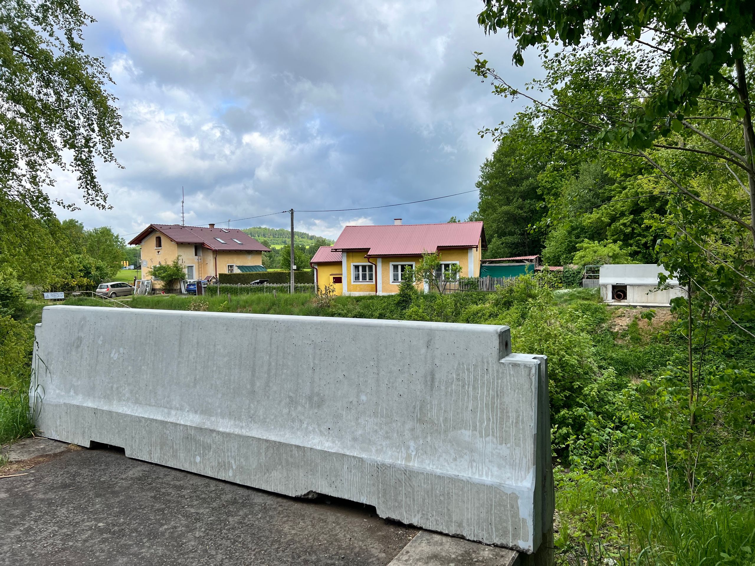
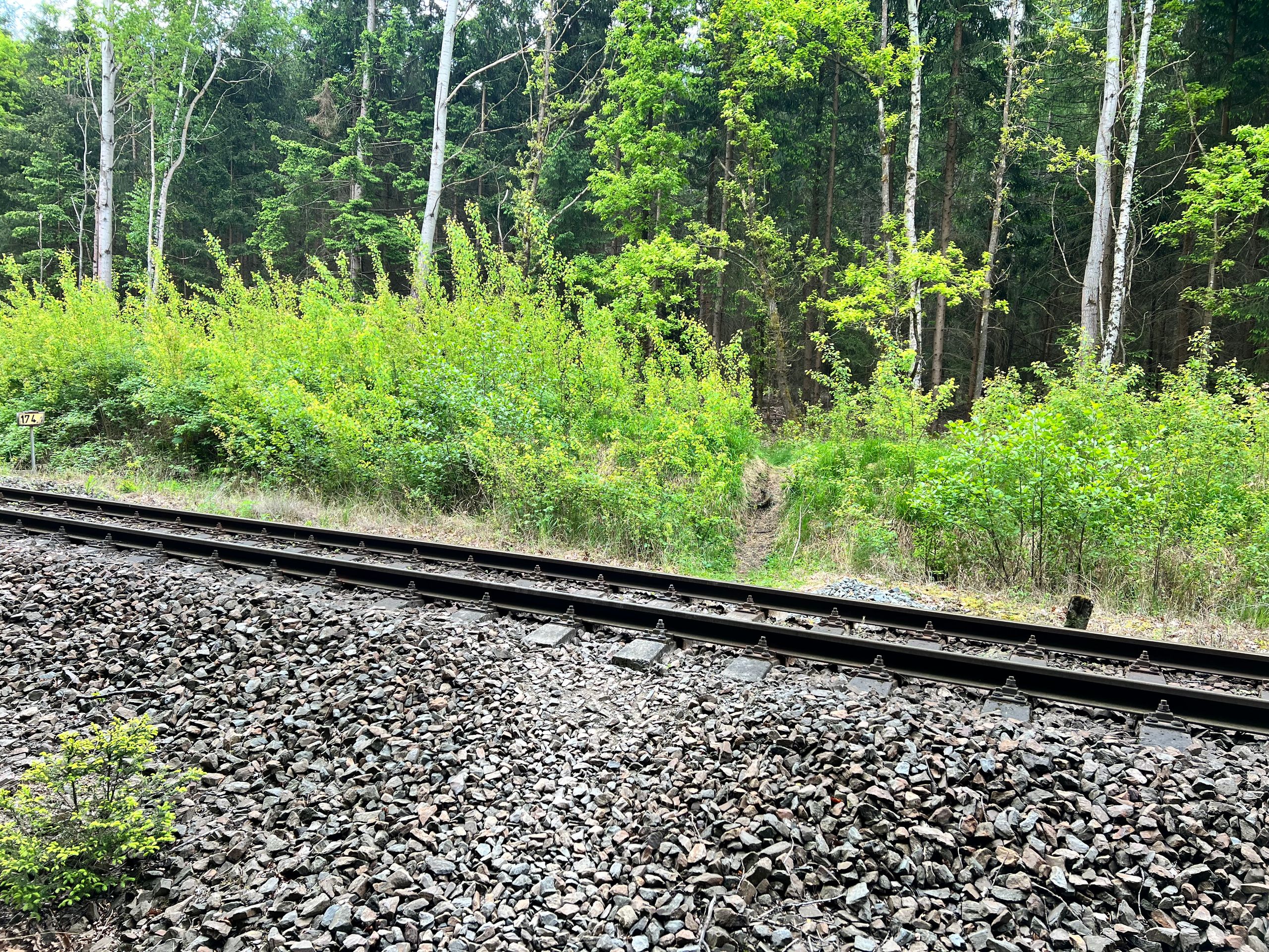
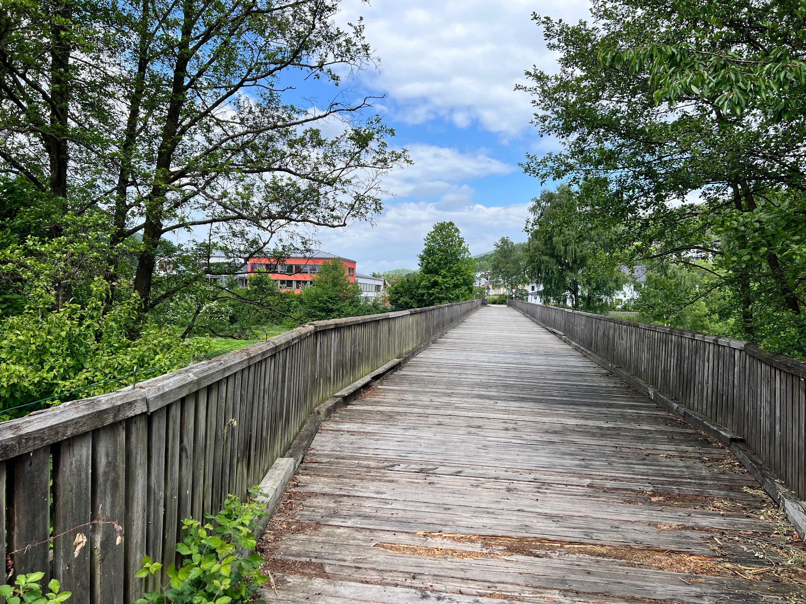
It became adventurous after just a few kilometers. I rode along a stream that I soon was to cross on a wooden bridge. I had seen a picture of this in Komoot, so the bridge had to exist, but reality looked different. There was only a large concrete block blocking the way. So, I turned back to study the map. And lo and behold, there was an alternative because crossing the stream was not absolutely necessary. It was not clear that, once again, an unprotected railway line had to be crossed in a confusing curve. Do I need to say more about that?
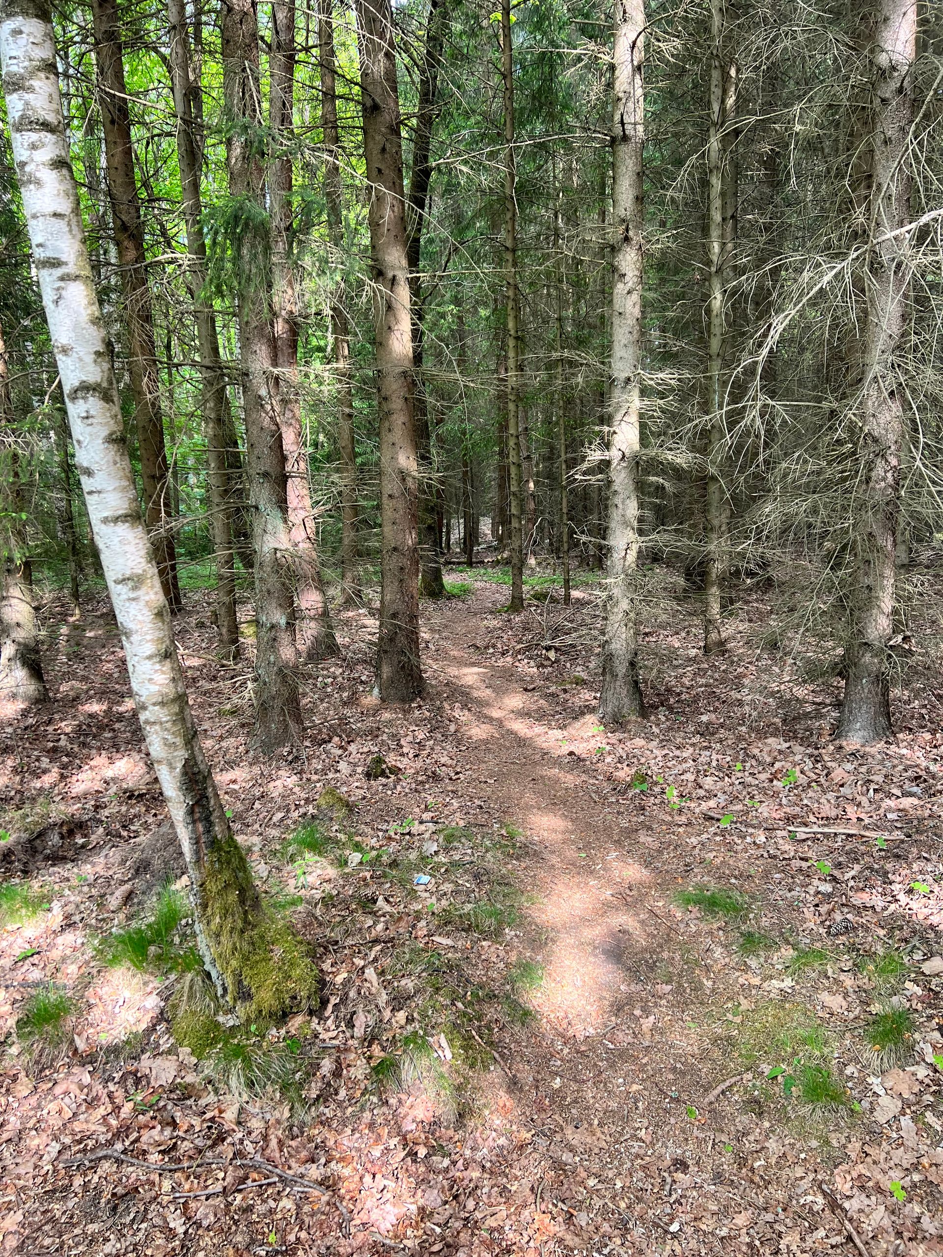
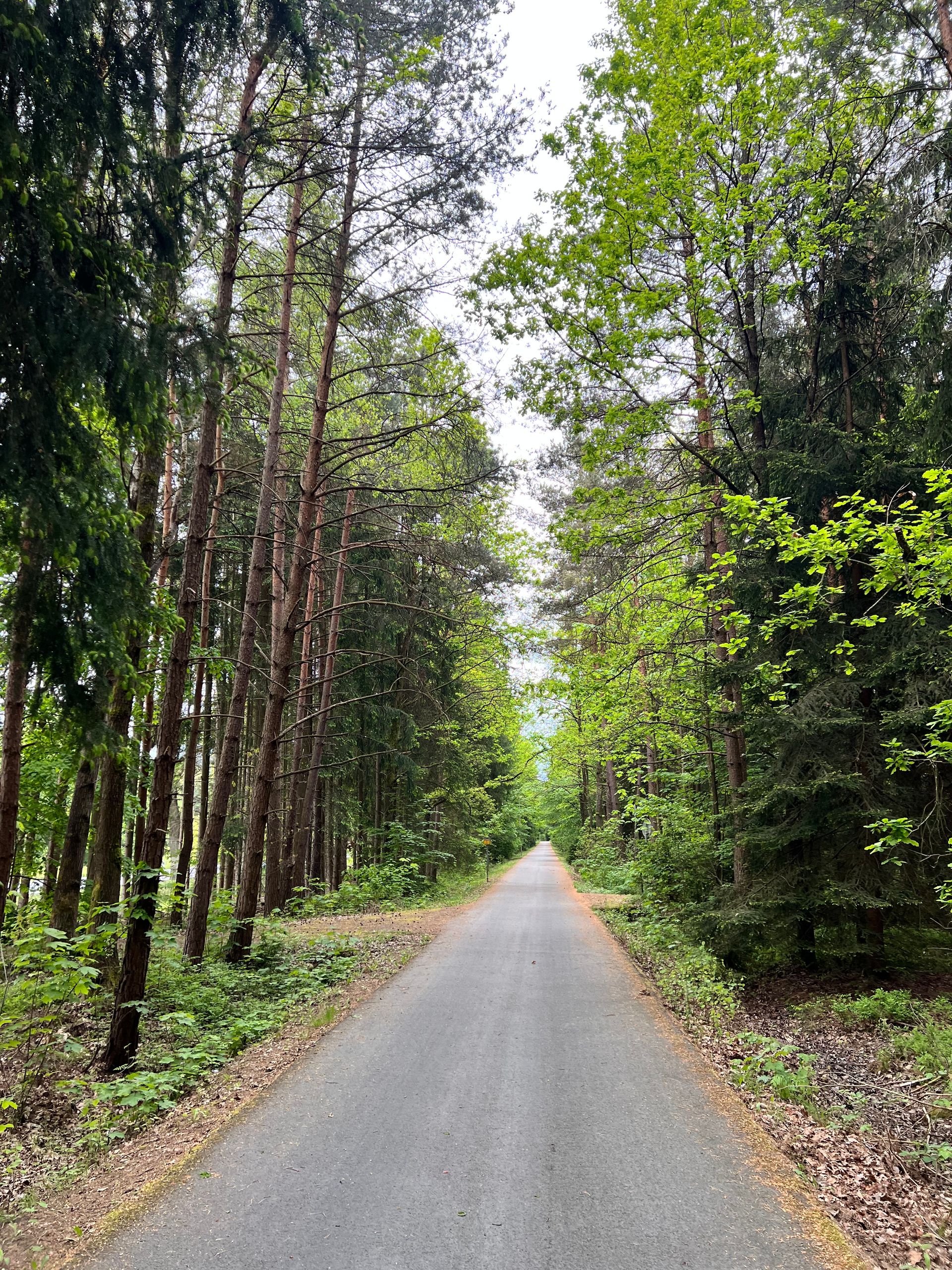
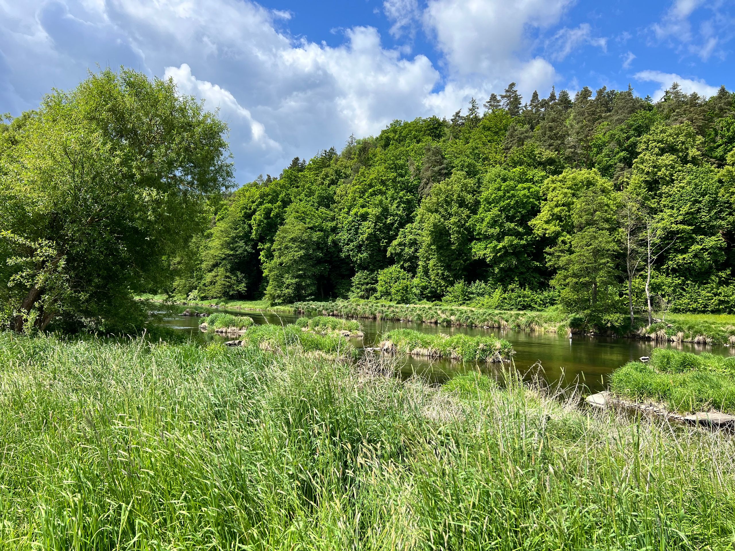
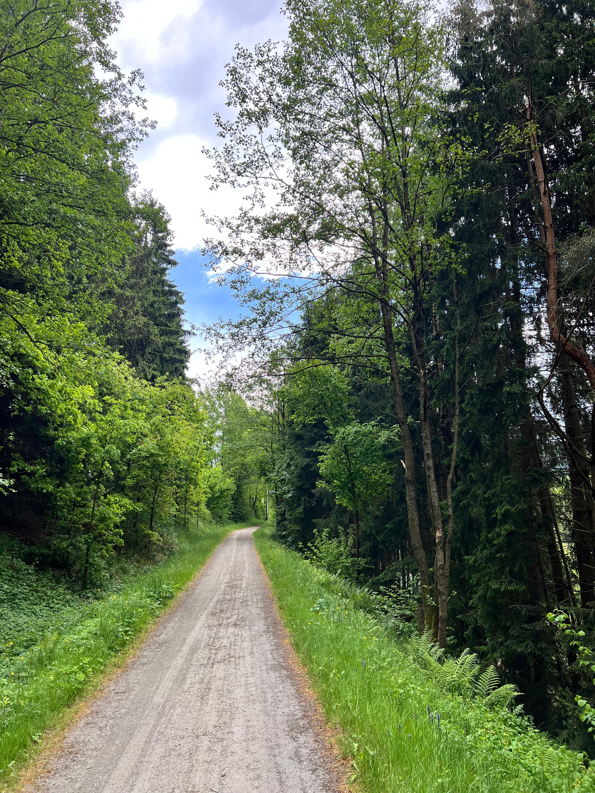
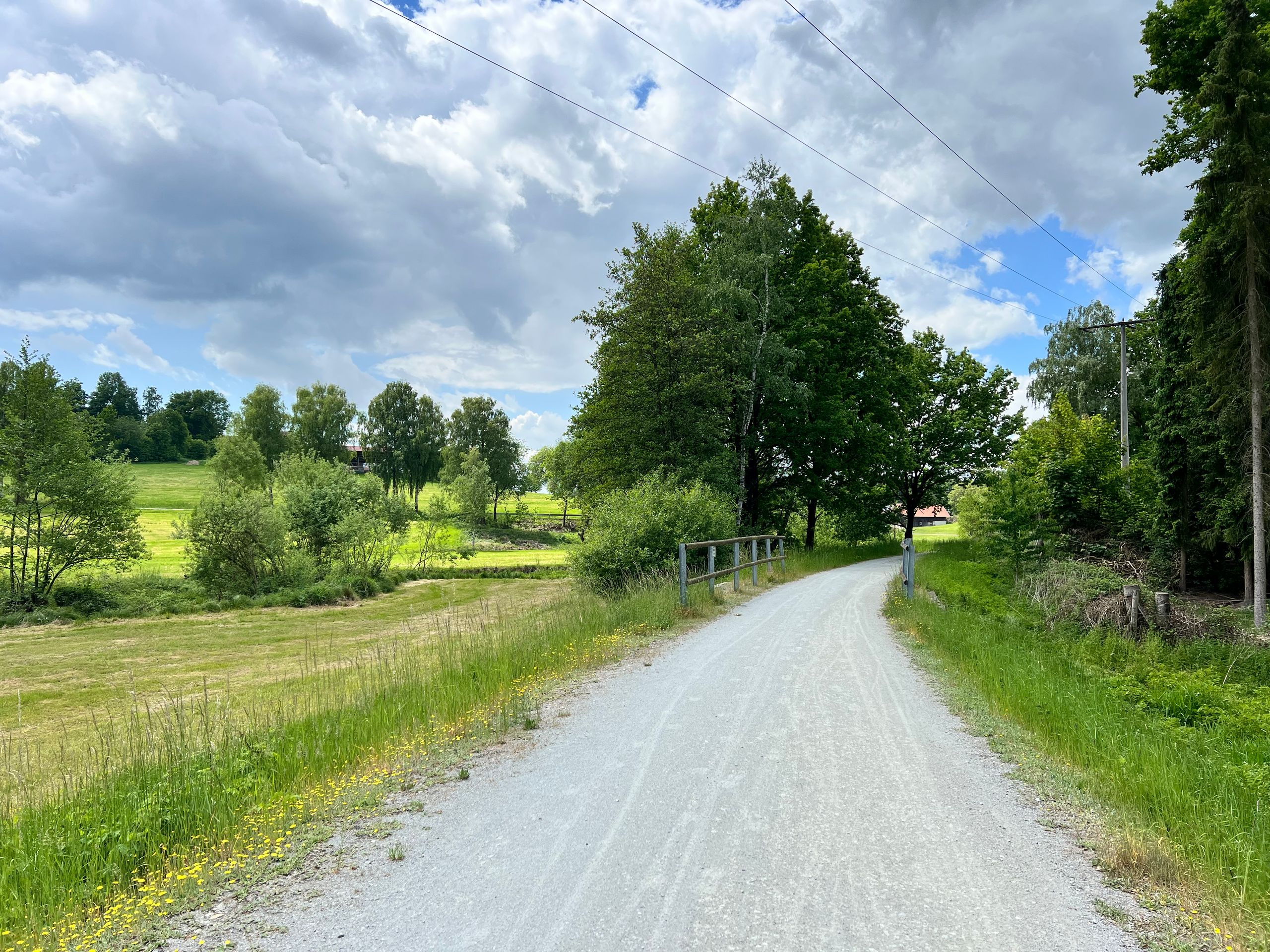
Shortly after, the ride continued through a large forest on beautiful paths, and the journey was truly enjoyable.
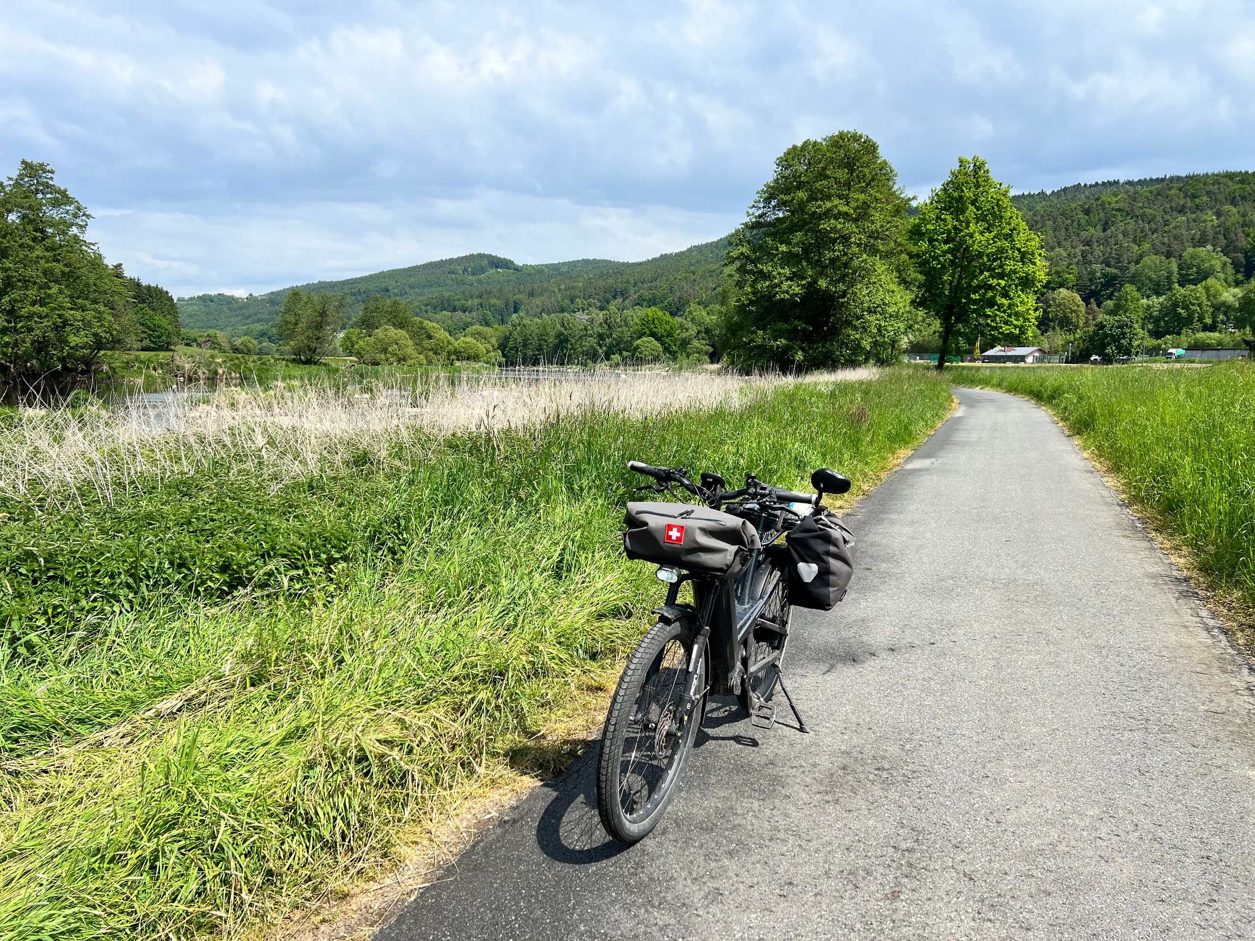
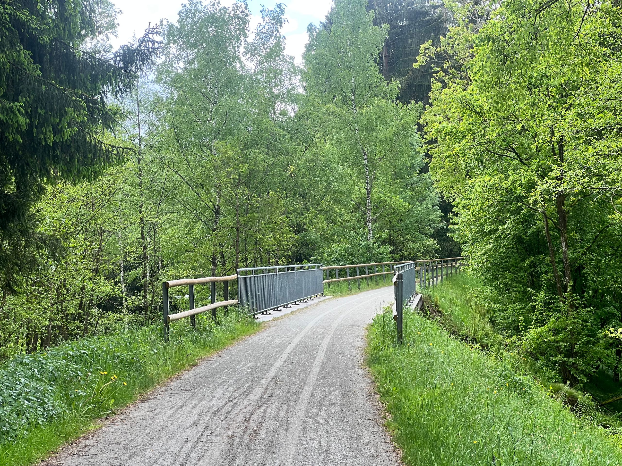
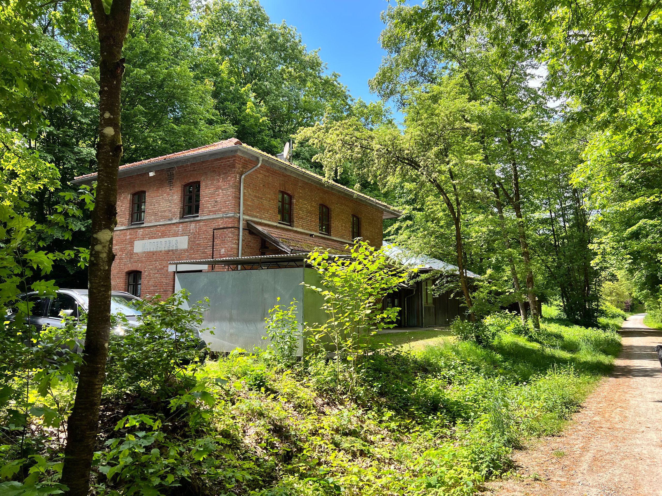
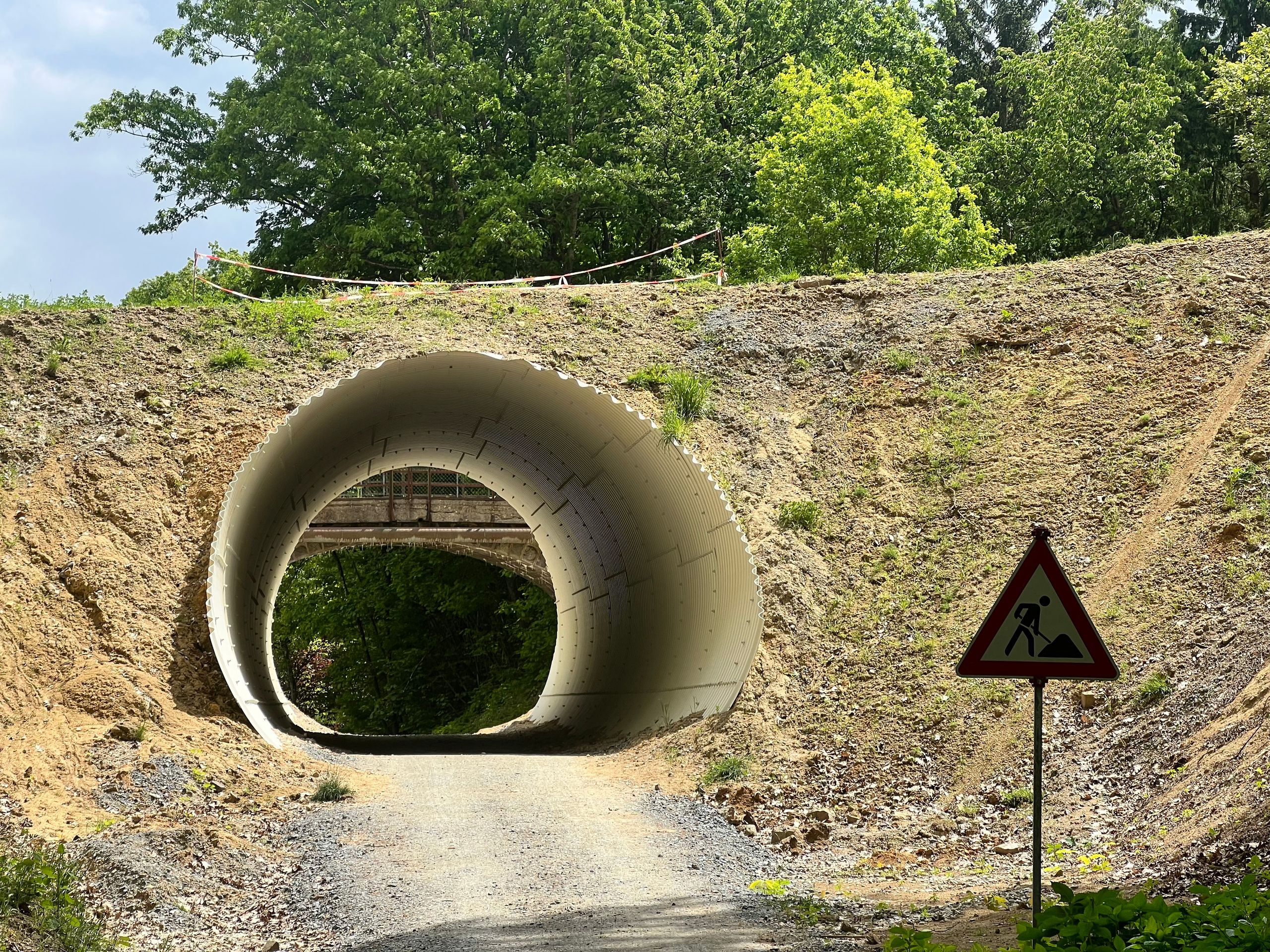
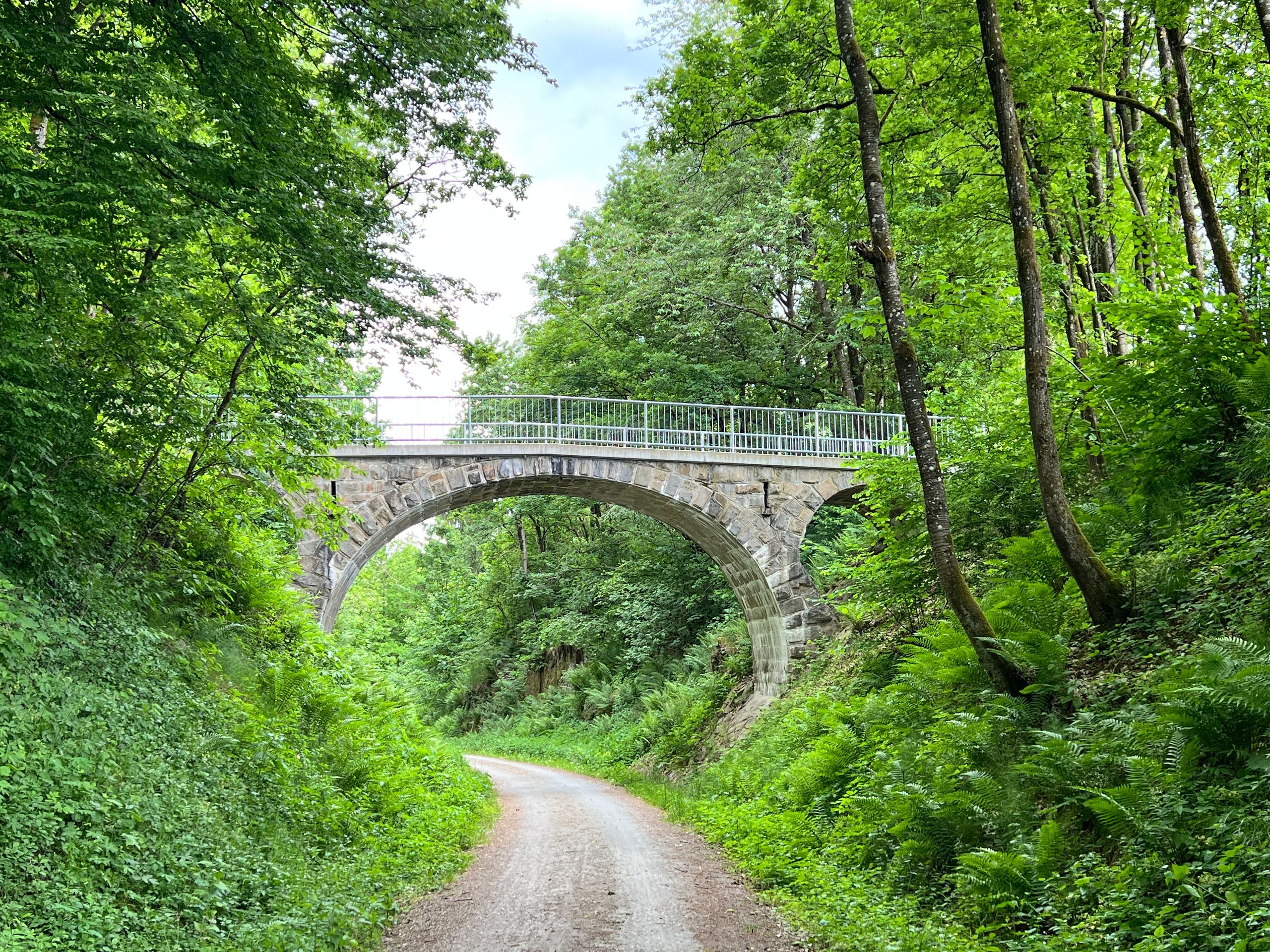
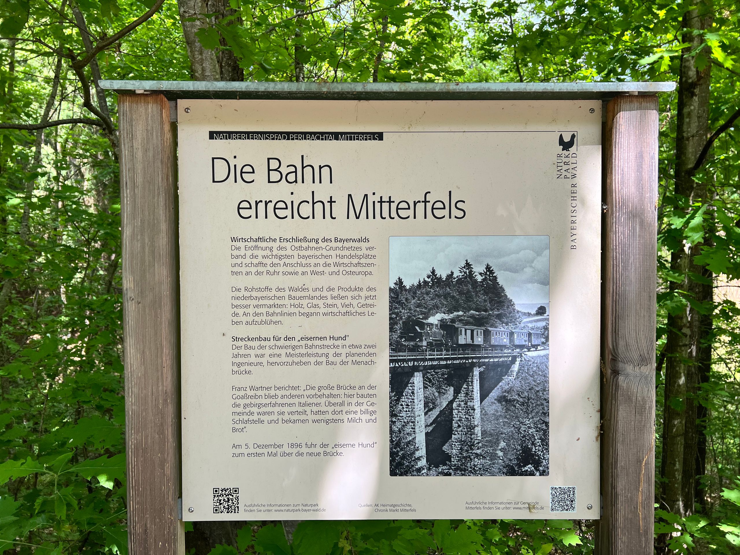
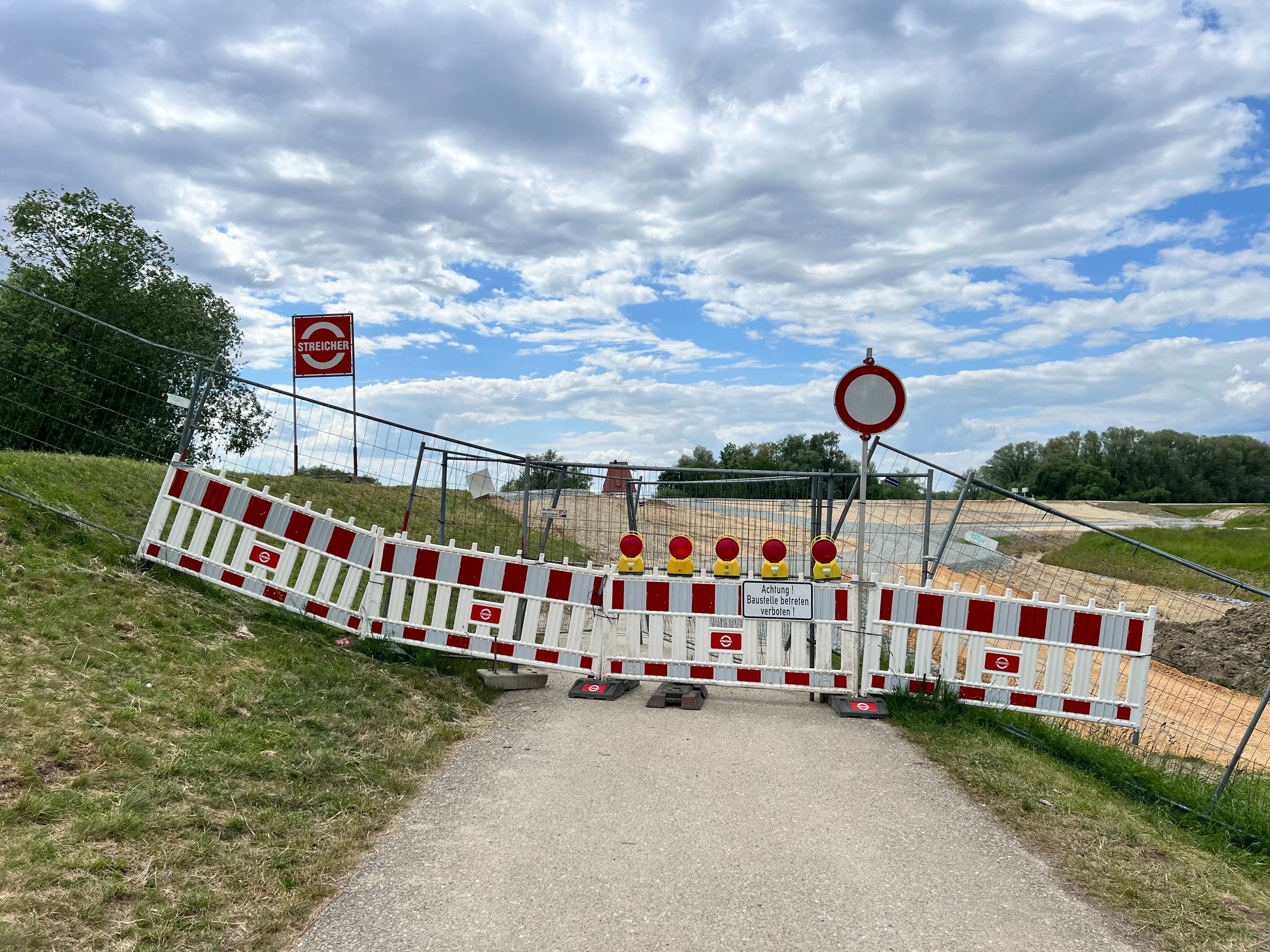
Shortly thereafter, already in Germany, I came upon a bike path that was built with a solid surface. It remained the same width and went gently uphill. Suddenly, I thought it could be an old railway line. Later, I received confirmation of this. Overall, I could cover about 30 kilometers on it in peace and tranquility. I even stayed on it longer than necessary. With this detour, I saved myself some kilometers on a federal road, or at least that was my hope. Unfortunately, that hope was dashed as a large construction site blocked the bike path, forcing me onto the federal road. And so it happened that what was planned as 89 kilometers suddenly became 103.
https://www.komoot.com/de-DE/tour/2253584409?ref=itd
---
**Español:**
La etapa de hoy podría tener el subtítulo: variable. Esto se aplica tanto al clima como a lo vivido.
Déjame comenzar con lo sencillo: ¡el clima! Para mi ruta había un 20% de probabilidad de lluvia ligera. Llovió durante el desayuno, pero luego se detuvo rápidamente. Así que me apresuré, y el clima se volvió cada vez más agradable. Salí seco de Domazlice, y tras unos pocos kilómetros y algunos metros de altitud, llegué a la antigua cortina de hierro y poco después al paso fronterizo, que también es solo para ciclistas y peatones.
Pero entonces empezó a llover, primero ligeramente y luego más fuerte. Encontré un gran árbol con arbustos donde quería esperar en seco. Después de unos 20 minutos, la lluvia se detuvo y continué hacia abajo a Furth im Wald y de inmediato seguí. Luego permaneció seco durante mucho tiempo y avancé rápidamente. Justo a tiempo para la gran pausa después de 50 kilómetros, volvió a empezar la lluvia. Se me presentó un refugio ideal y me puse a mí mismo y a mi bicicleta debajo. Pero apenas había comenzado a comer, la lluvia se detuvo de nuevo.
Así que para mí la lluvia había terminado. Sin embargo, tenía la impresión de que siempre iba un poco más rápido, ya que al mirar hacia atrás a menudo veía nubes oscuras y lluvia cayendo.
Se volvió aventurero después de unos pocos kilómetros. Seguí el curso de un arroyo que pronto debería cruzar sobre un puente de madera. Había visto una imagen de esto en Komoot, así que esta puente debería existir, pero la realidad era diferente. Solo había un gran bloque de hormigón que obstruía el camino. Así que volví y estudié el mapa. Y ahí estaba, había una alternativa, ya que el arroyo no era absolutamente necesario de cruzar. No era evidente que, una vez más, había que cruzar una línea de tren sin garantizarlo en una curva poco clara. ¿Debo decir más al respecto?
Poco después, el viaje continuó a través de un gran bosque por hermosos caminos y la experiencia fue realmente divertida.
Poco tiempo después, ya en Alemania, llegué a un carril bici construido con una superficie firme. Se mantuvo del mismo ancho y subió suavemente. De repente, pensé que podría ser una antigua vía de tren. Más tarde obtuve la confirmación de esto. En total, pude recorrer unos 30 kilómetros en paz y tranquilidad. Me quedé allí más tiempo del necesario. Con este desvío me ahorré algunos kilómetros en una carretera federal, o al menos eso era lo que esperaba. Desafortunadamente, esa esperanza se desvaneció, ya que una gran obra en construcción bloqueó el carril bici y, por lo tanto, me vi obligado a utilizar la carretera federal. Y así sucedió que de los planeados 89 kilómetros de repente se convirtieron en 103.
---
**English:••
Today's stage could have the subtitle: variable. This applies to both the weather and the experiences.
Let me start with the simple part: the weather! For my route, there was a 20% chance of light rain. It rained while I was having breakfast, but then it stopped very quickly. So, I hurried along, and the weather became more pleasant. I left Domazlice dry, and just after a few kilometers and some elevation, I reached the former Iron Curtain and shortly afterward the border crossing, which is also only for cyclists and pedestrians.
But then it started to rain, first lightly and then increasingly stronger. I found a large tree with bushes where I wanted to wait in the dry. After about 20 minutes, it was over, and I set off down to Furth im Wald and continued right away. Then it stayed dry for a long time, and I made good progress. Just in time for the long break after 50 kilometers, it started to rain again. An ideal shelter presented itself, and I positioned myself and my bicycle underneath. However, as soon as I started eating, the rain stopped again.
That was the end of rain for me. However, I had the impression that I was always a little faster since a glance back often showed dark clouds and falling rain.
It became adventurous after just a few kilometers. I rode along a stream that I soon was to cross on a wooden bridge. I had seen a picture of this in Komoot, so the bridge had to exist, but reality looked different. There was only a large concrete block blocking the way. So, I turned back to study the map. And lo and behold, there was an alternative because crossing the stream was not absolutely necessary. It was not clear that, once again, an unprotected railway line had to be crossed in a confusing curve. Do I need to say more about that?
Shortly after, the ride continued through a large forest on beautiful paths, and the journey was truly enjoyable.
Shortly thereafter, already in Germany, I came upon a bike path that was built with a solid surface. It remained the same width and went gently uphill. Suddenly, I thought it could be an old railway line. Later, I received confirmation of this. Overall, I could cover about 30 kilometers on it in peace and tranquility. I even stayed on it longer than necessary. With this detour, I saved myself some kilometers on a federal road, or at least that was my hope. Unfortunately, that hope was dashed as a large construction site blocked the bike path, forcing me onto the federal road. And so it happened that what was planned as 89 kilometers suddenly became 103.