Week 65 - it's all about wildlife
This week we experienced a lot again, starting on Sunday with a highlight. Under bright sunshine, we ventured out on a boat to cruise for 6 hours in the fjords of Kenai Fjords...

Published: 09.08.2026
In the middle of the night, we heard noises around our camper. Julian carefully unzipped his window and peered outside. Only a few meters from the camper stood a cow moose, happily munching on fresh grasses and leaves.
Franzi was instantly wide awake and grabbed the camera to capture the special moment. Since it was still quite dark (as dark as it gets here), she could only film videos of the shy animal.
After we managed to sleep a bit more, we set off for Denali National Park again.
On the hike along the Savage Alpine Trail, we finally spotted a Pika. This little creature looks more like a mouse and often lives on steep slopes with rocky fields.
We left the national park and started our journey back to Canada.
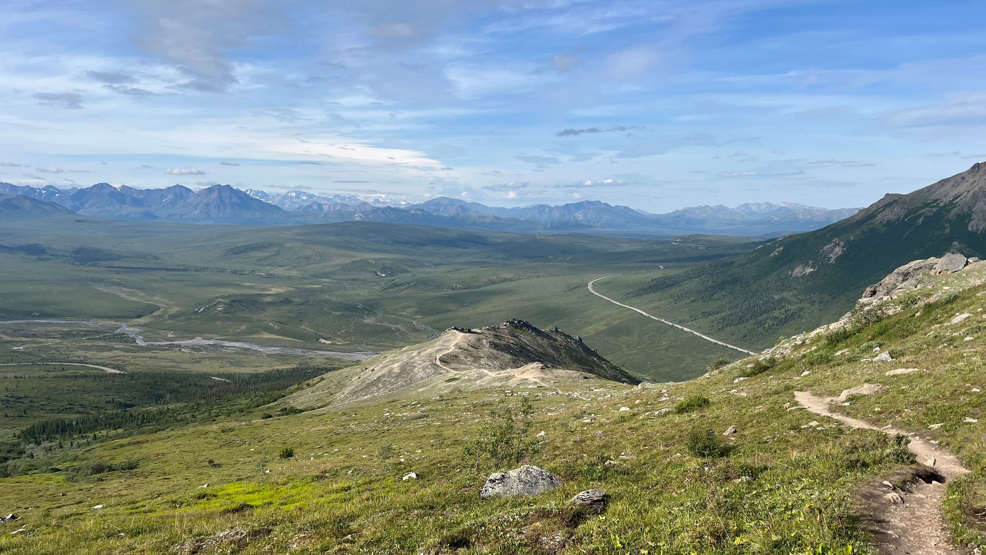
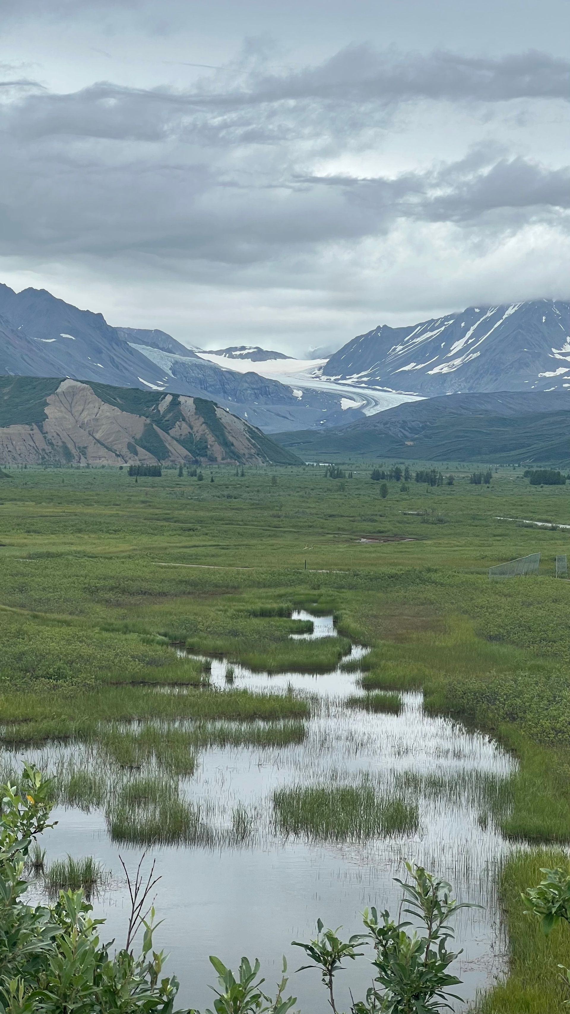
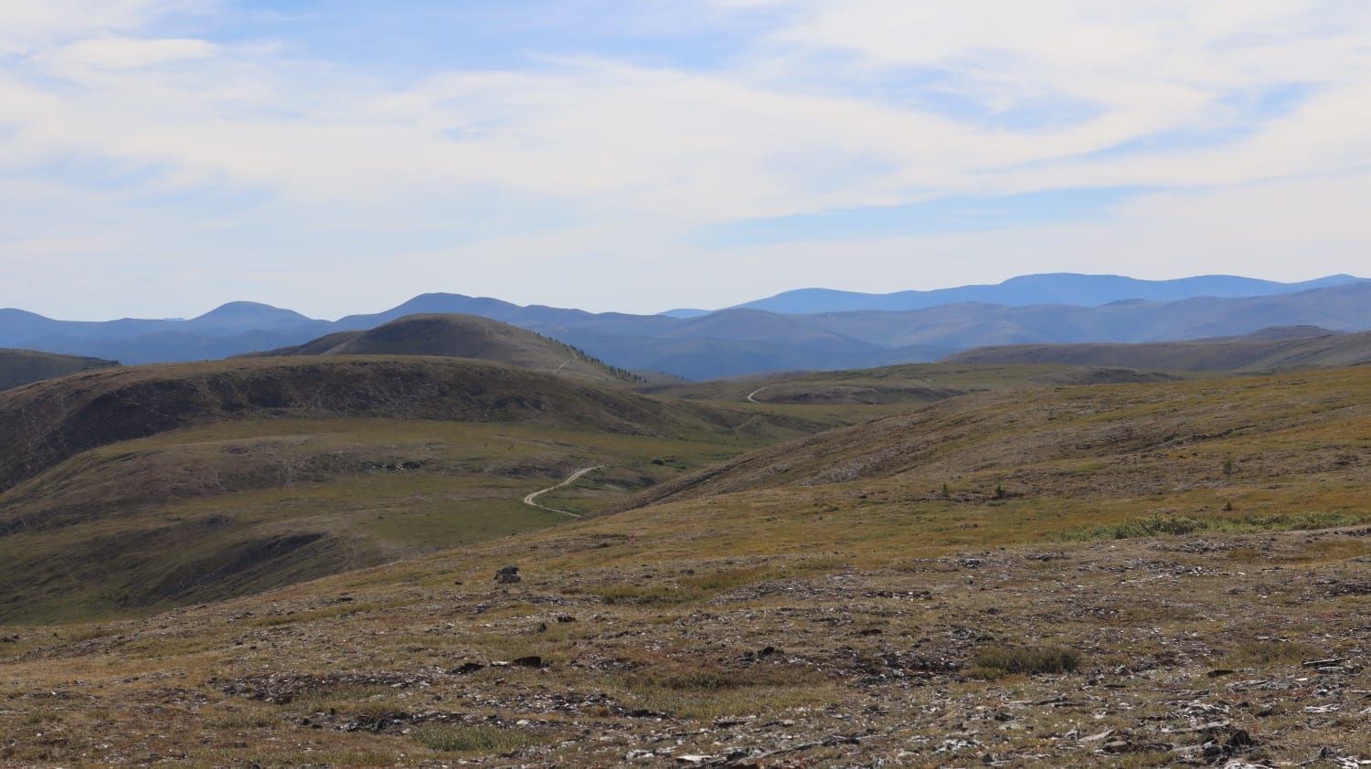
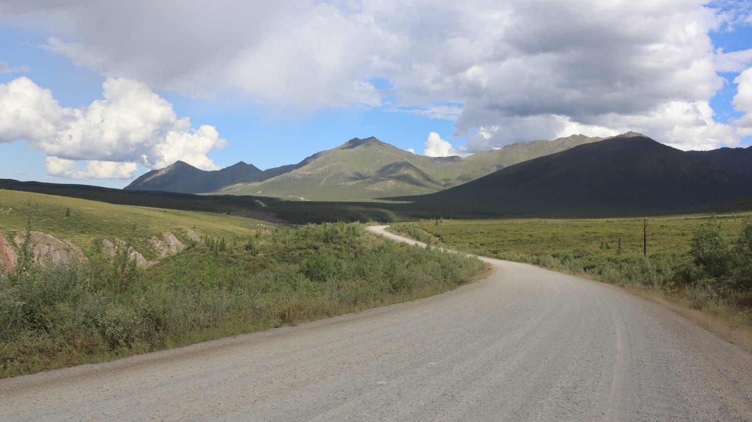
For the next three days, we had a lot of driving ahead. The start took us along the Denali Highway, where we easily covered the 135 kilometers of gravel road in one day. Unfortunately, there were no wildlife sightings along the highway, but the views over the seemingly endless landscapes were still beautiful.
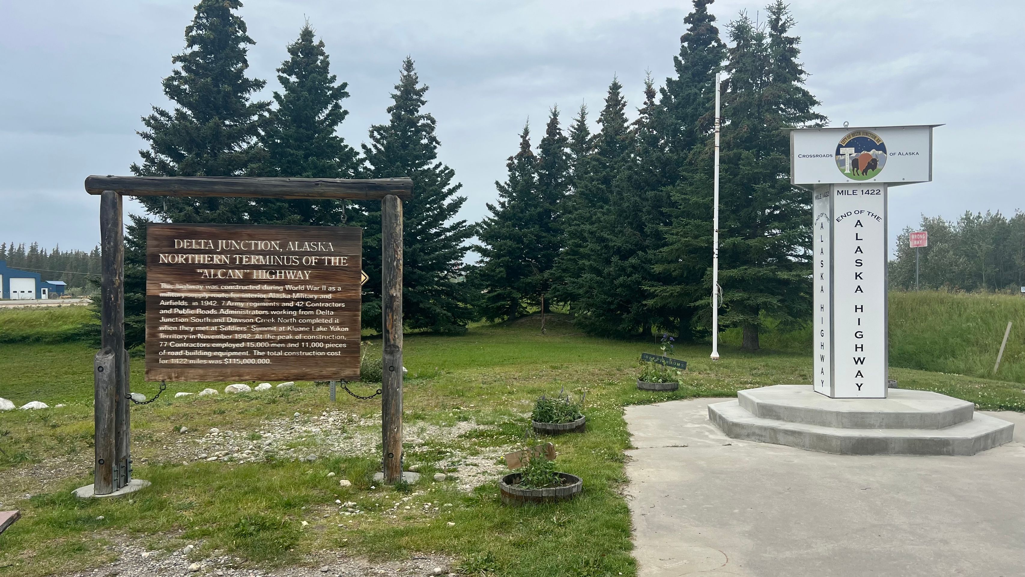
Next, we took the Alaska Highway again. This time, we drove the section we had skipped last time. So we actually completed the entire stretch of this highway.
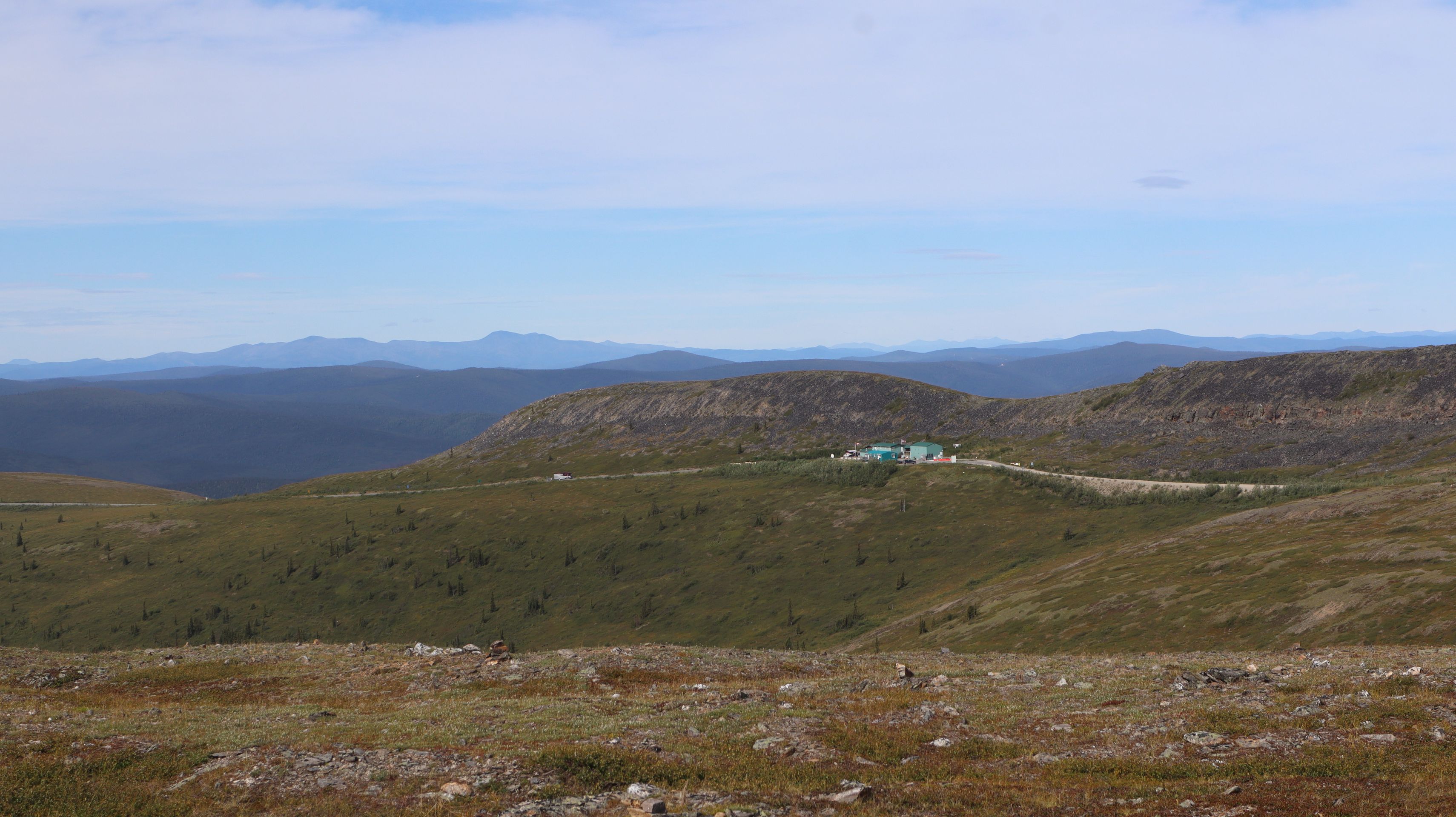
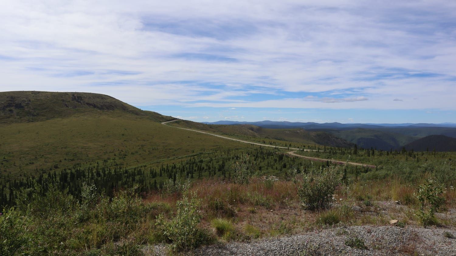
And because we usually enjoy driving here, we tacked on the Top of the World Highway right afterwards.
This highway is special because it runs along a mountain ridge, providing views in all directions of the surrounding valleys and other mountain ranges.
With so much driving, breaks are, of course, a must. We took one in the small settlement of Chicken. Here, we had coffee and a cinnamon roll to refuel.
By the way, coffee is generally very cheap. You can usually get a filter coffee for only 1 USD, at most for 3 USD.
Shortly after, we crossed the border into Canada. The entry process went smoothly at the northernmost border post in North America.
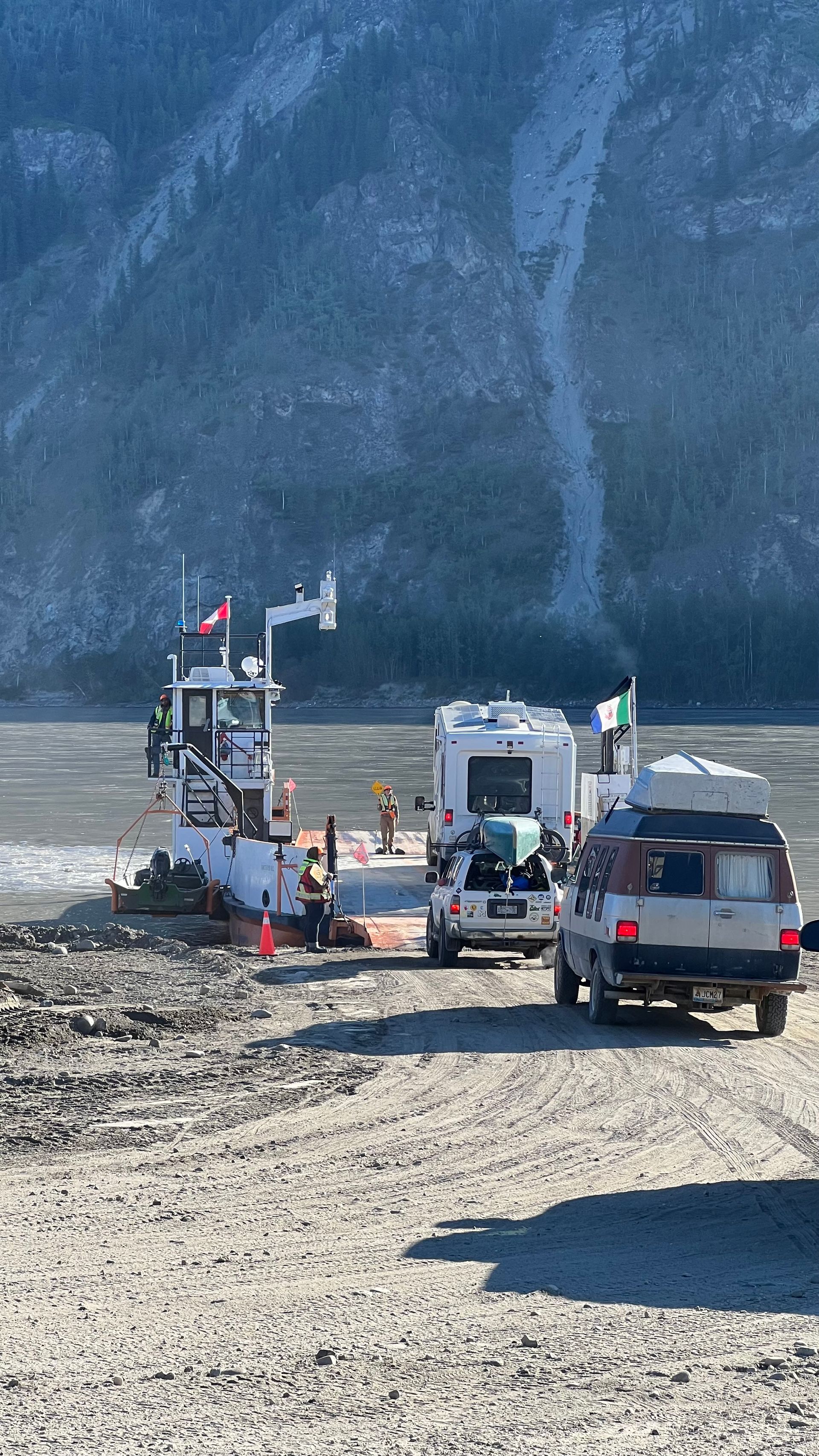
The next day, we reached the city of Dawson City. Here, you have to take a small ferry across the river. There is no bridge, and the ferry is free.
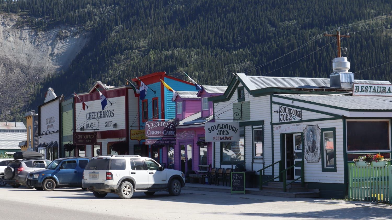
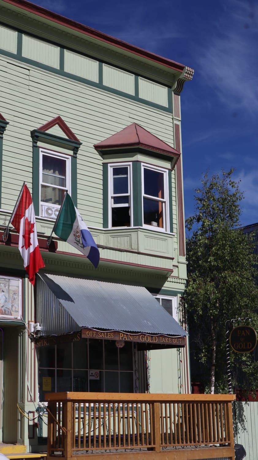
We had a cozy day in Dawson City, took care of important camper tasks, and strolled through the streets. Dawson City, like many towns during the Gold Rush, emerged in this area. The facades of the houses remind us of a Western town.
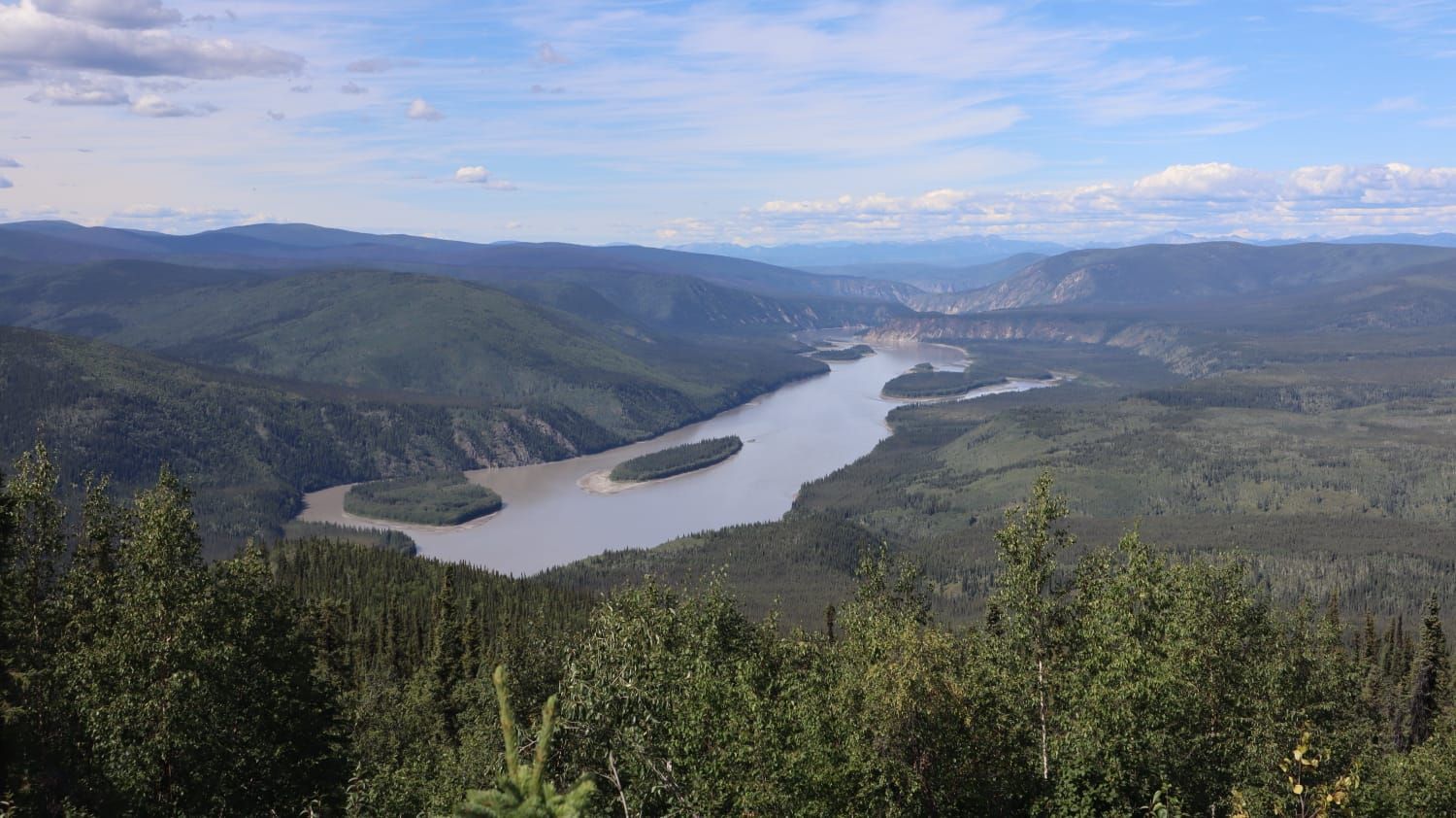
As our overnight spot, we chose a lovely location near a viewpoint. Here, we had a nice view over the Yukon River and Dawson City.
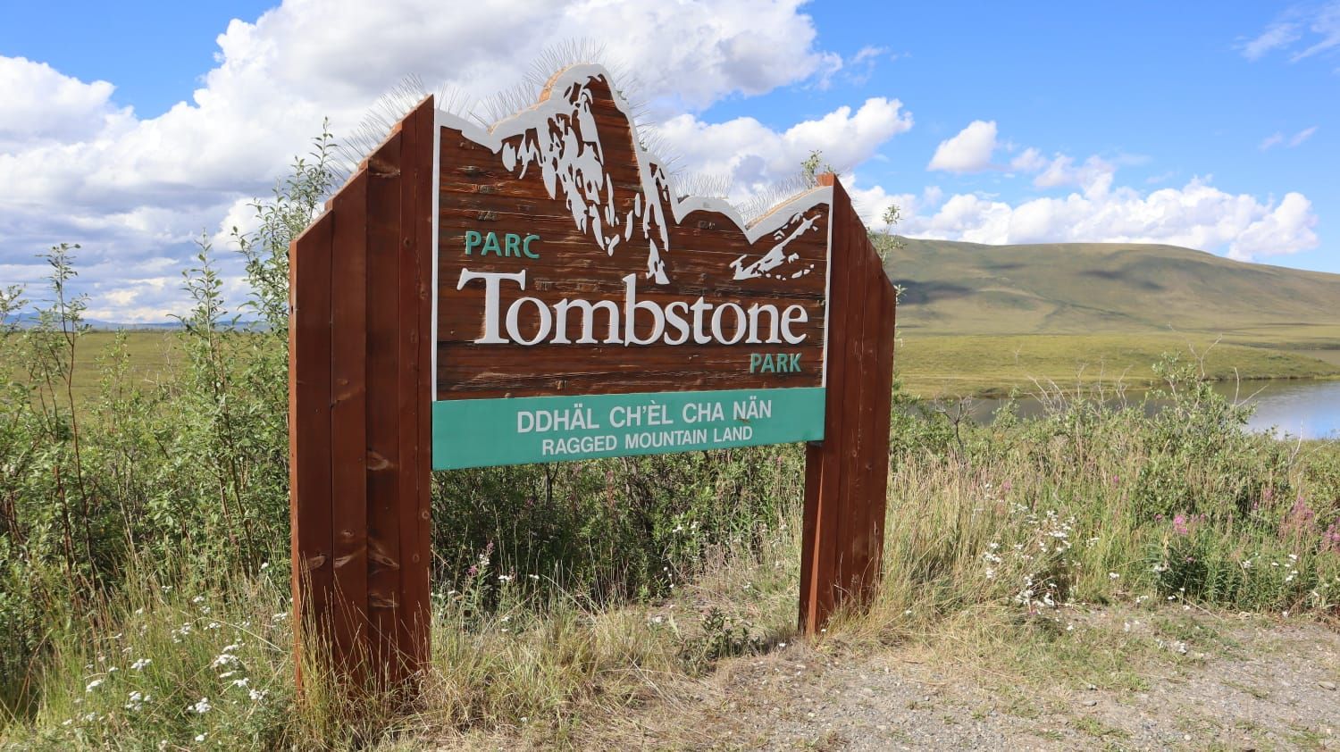
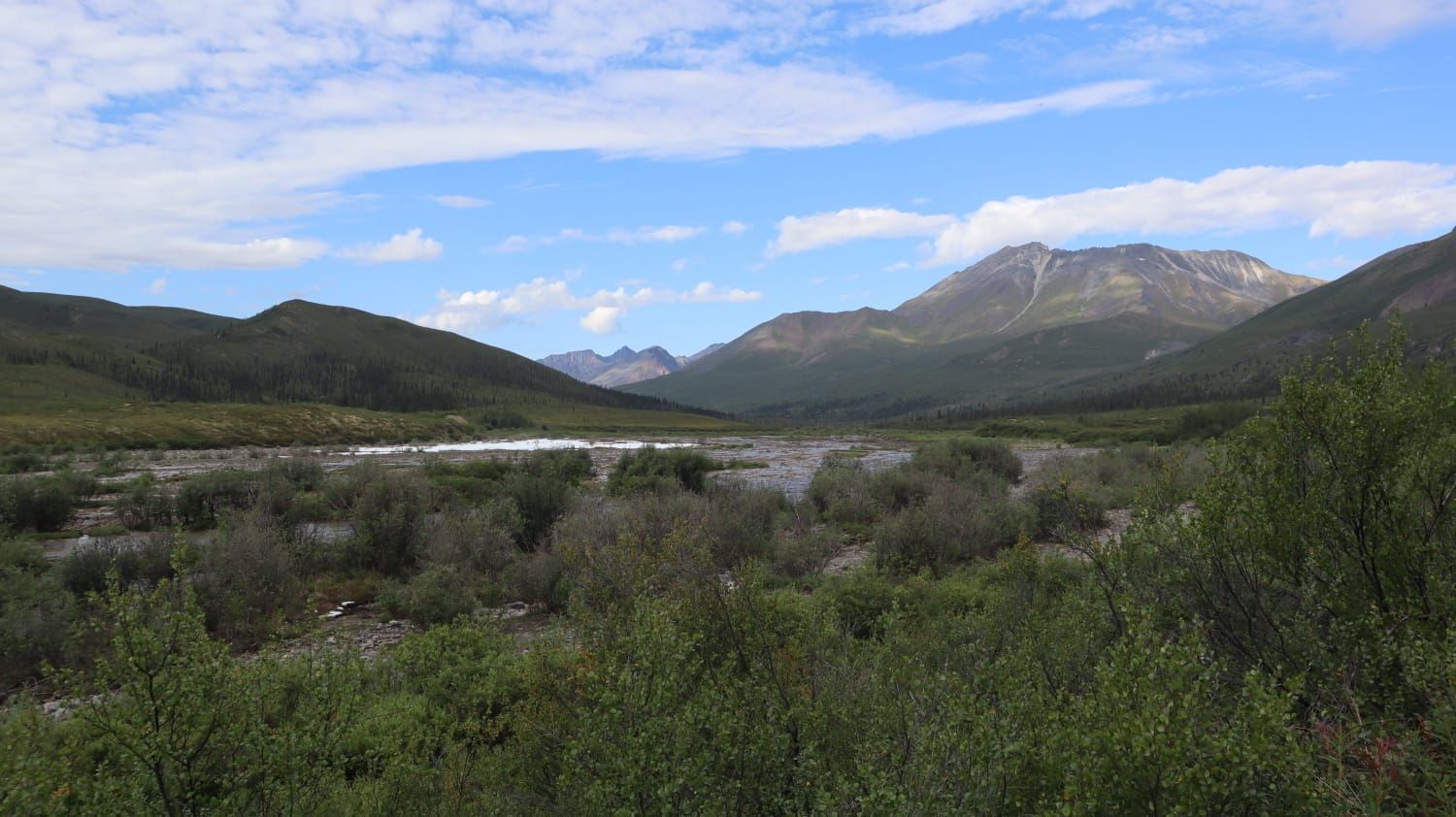
The next day, we set off for Tombstone Provincial Park. This park lies at the Dempster Highway. Here again, it was time to head onto the gravel road for 80 kilometers.
The existence of this highway is not a given, as Tombstone Provincial Park is already in the permafrost area. This means that parts of the ground here are permanently frozen. In the Arctic summer, only the topmost approximately 100 cm thaw.
To maintain the gravel road here, it had to be built on a type of dam where several layers of gravel isolate the road from the permafrost ground. The highway stretches up to the Arctic Ocean - nearly 900 kilometers of gravel road. It has only been passable year-round for 10 years, as the upper section used to be an ice road and only accessible in winter.
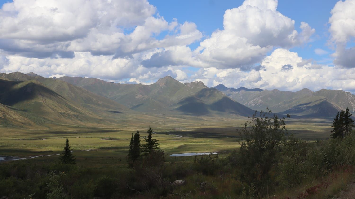
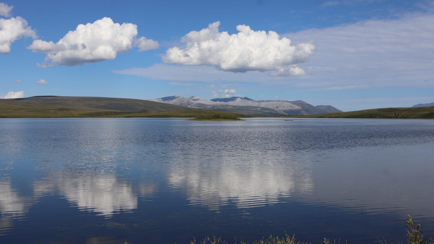
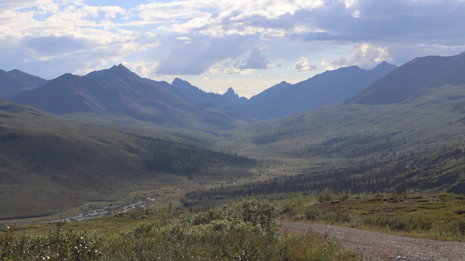
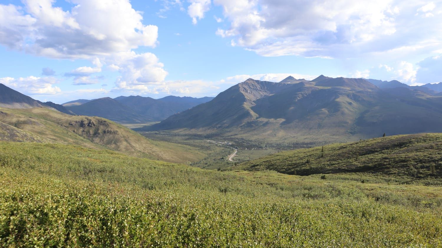
Generally, the landscape in this park is heavily influenced by the adjacent Arctic. While the beginning is still characterized by boreal forest, as you drive further north, this gradually gives way to the taiga, until the expansive tundra landscape takes over.
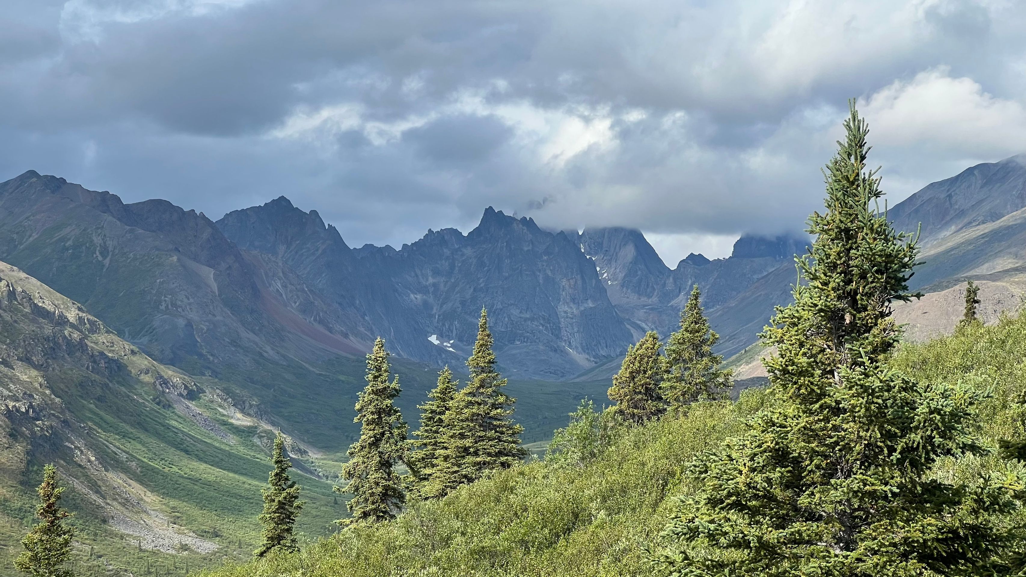
The mountains here remind us somewhat of the Dolomites, as the peaks are often just bare and steep rock.
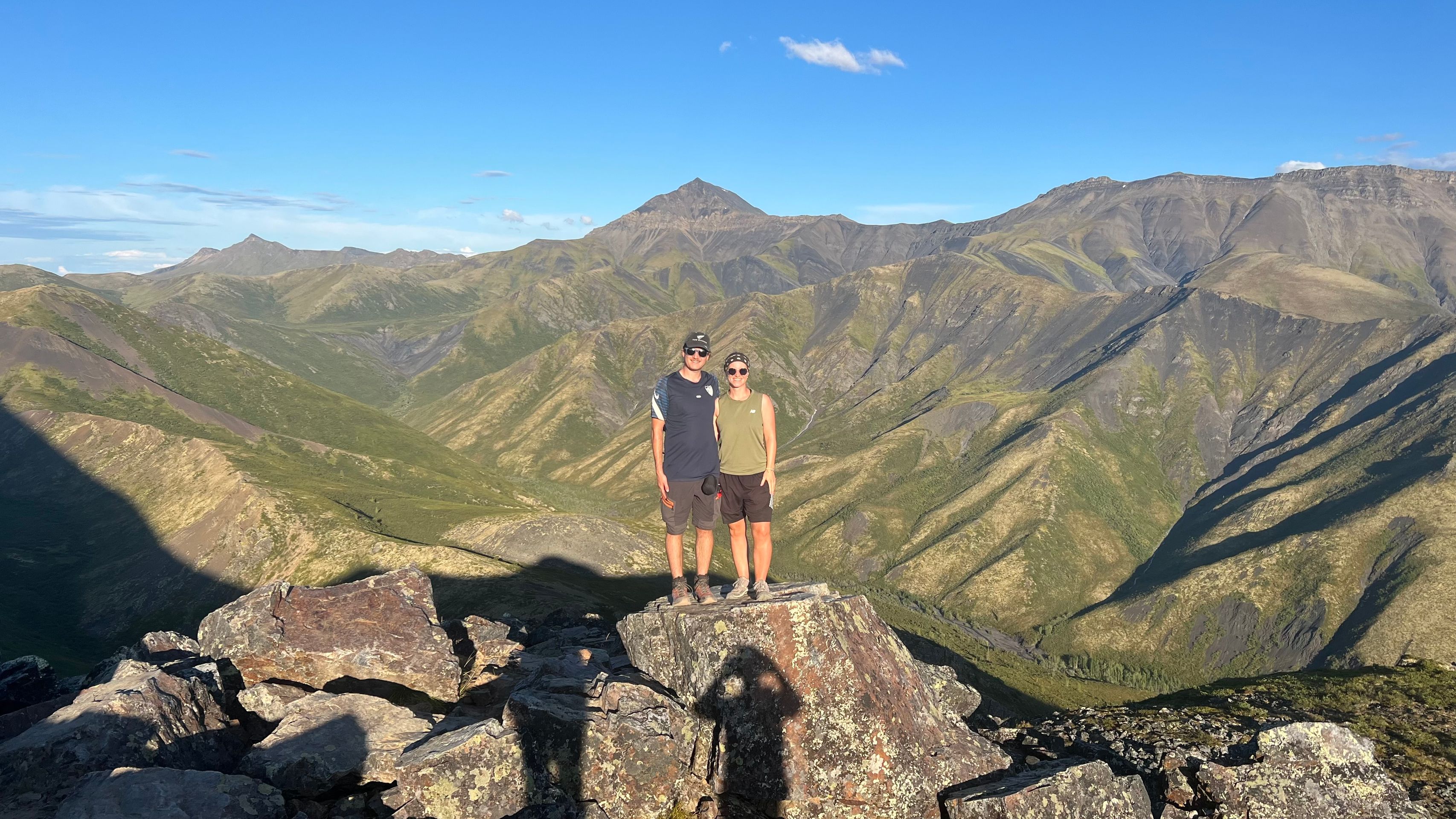
On our first evening in the park, we participated in a guided hike to the Goldensides Range. On the way to the viewpoint, we learned a lot about the exact formation of the entire area and its special features.
We took the next day quite leisurely. On a small hike along the North Klondike Rivers, we diligently picked blueberries and crowberries that were ripe here.
The small berries were used as an addition to muesli and porridge.
Today we also took a hike along the Grizzly Lake Trail. However, we only walked to a viewpoint of Mount Monolith, which unfortunately hid behind dense clouds.
A further stroll on the Beaver Trail and a cozy afternoon in the camper completed this week perfectly.