Swinging Bridge over turquoise waters of the Hokitika River
Over Greymouth, continuing along the West Coast, we eventually reach Hokitika. Here, we want to take a look at the bay, where the river flowing through, the Hokitika River, is...

Published: 26.11.2024


Actually, we just wanted to do “just one' activity today. Not more of a bam! – bam! – bam! … and yet another attraction, like on so many days before, but to focus on just one goal ... Since we hadn't really planned for an extended stay in Queenstown from the beginning, we weren't really well prepared for free days. Thorsten quickly contacted Christian, who had been here on the South Island a few years ago, and asked what could be explored in a day without rope, pickaxe, and oxygen tent. The path should also be free of vertigo. So, it should be easy to find something suitable here ... ;-)
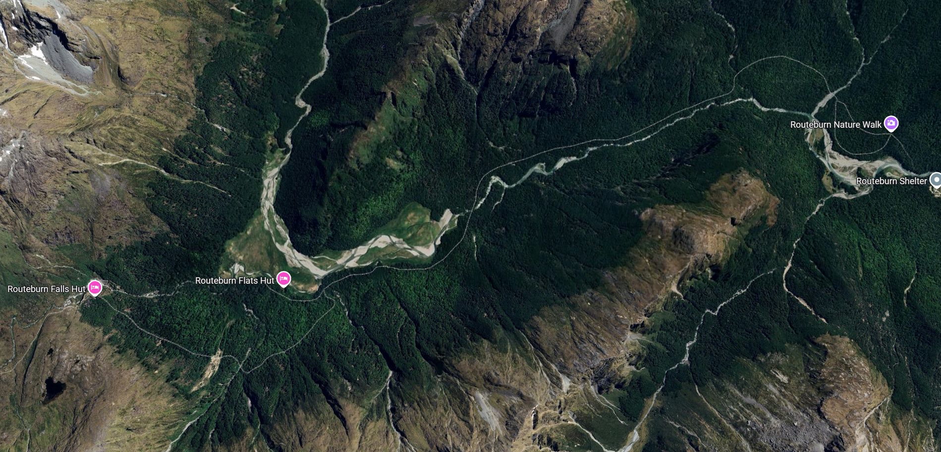
Christian recommends and we decide on the Routeburn Track, which starts north of Glenorchy at the northern end of Lake Wakatipu. The track can be divided depending on interest and ability. If you walk the whole way from the Routeburn Shelter over the Flats Hut to the higher located Falls Hut, you can expect about 9 km of easy walking. Along the way, about 600 meters of elevation gain is covered. Our wish, or Thorsten's wish, is to reach the Falls Hut because from there you get especially beautiful views of the mountains. This means those 9 km one way and the corresponding elevation difference.
We drive about 80 kilometers from Queenstown along Lake Wakatipu to Glenorchy or to the Routeburn Shelter. From there, the path leads to the Flats Hut on the Routeburn Track. The distance to this first station is about 6.5 km, and you have to cover about 300 meters of elevation. 300 meters over 6.5 kilometers – that sounds easy. No steep ascent to worry about.
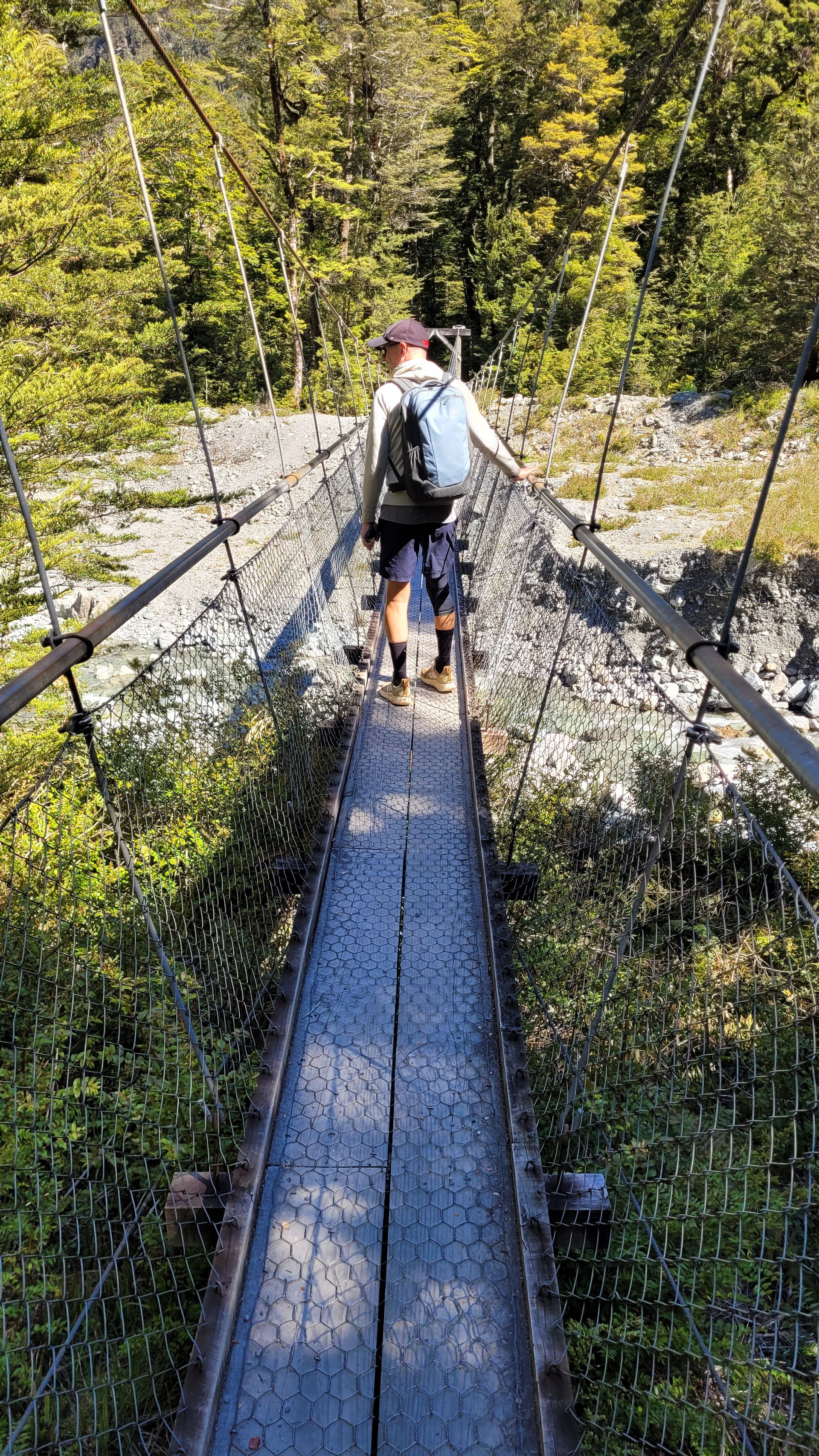
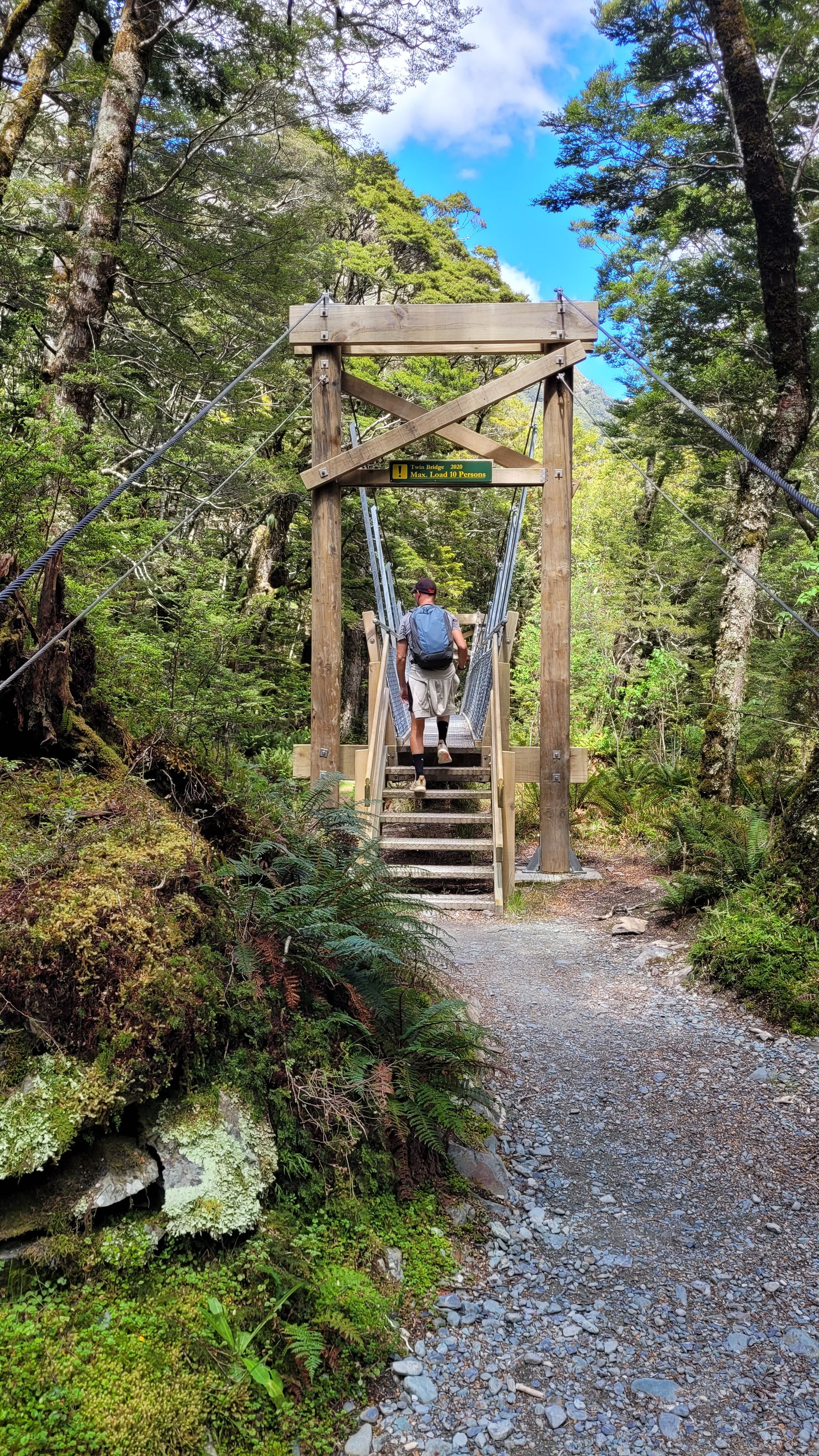
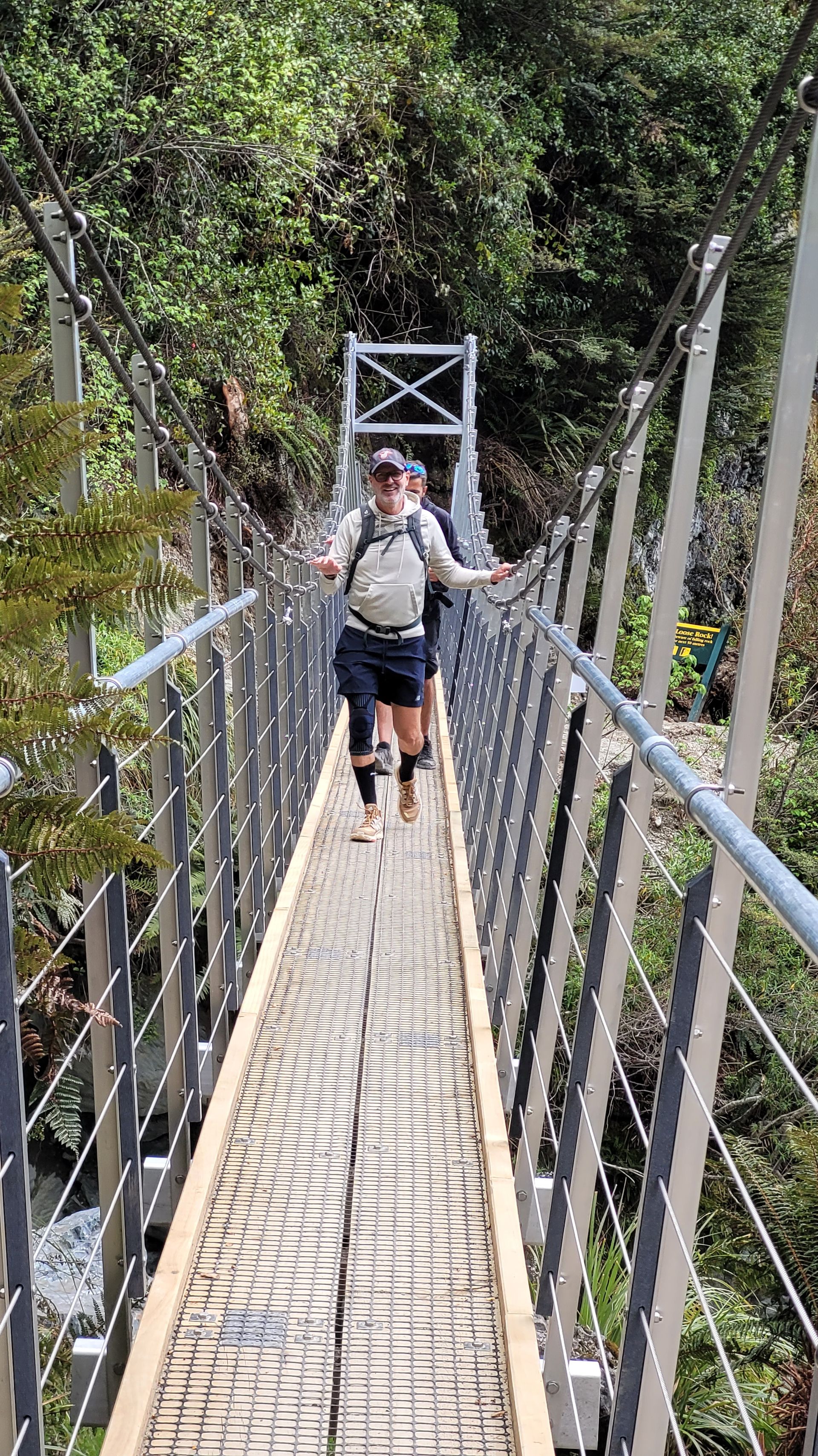
For a while, it goes through wooded areas and soon offers the first swing bridge. Christian had already mentioned these, but also classified them as feasible. Indeed, I can manage this. The bridge isn't very high, and we are alone on the bridge. Great for acclimatization.
We wander effortlessly through the terrain. We cross more swing bridges, all functioning well for me. Sometimes I don’t even need to hold on and can take pictures or operate the video camera – totally hands-free ... ;-)
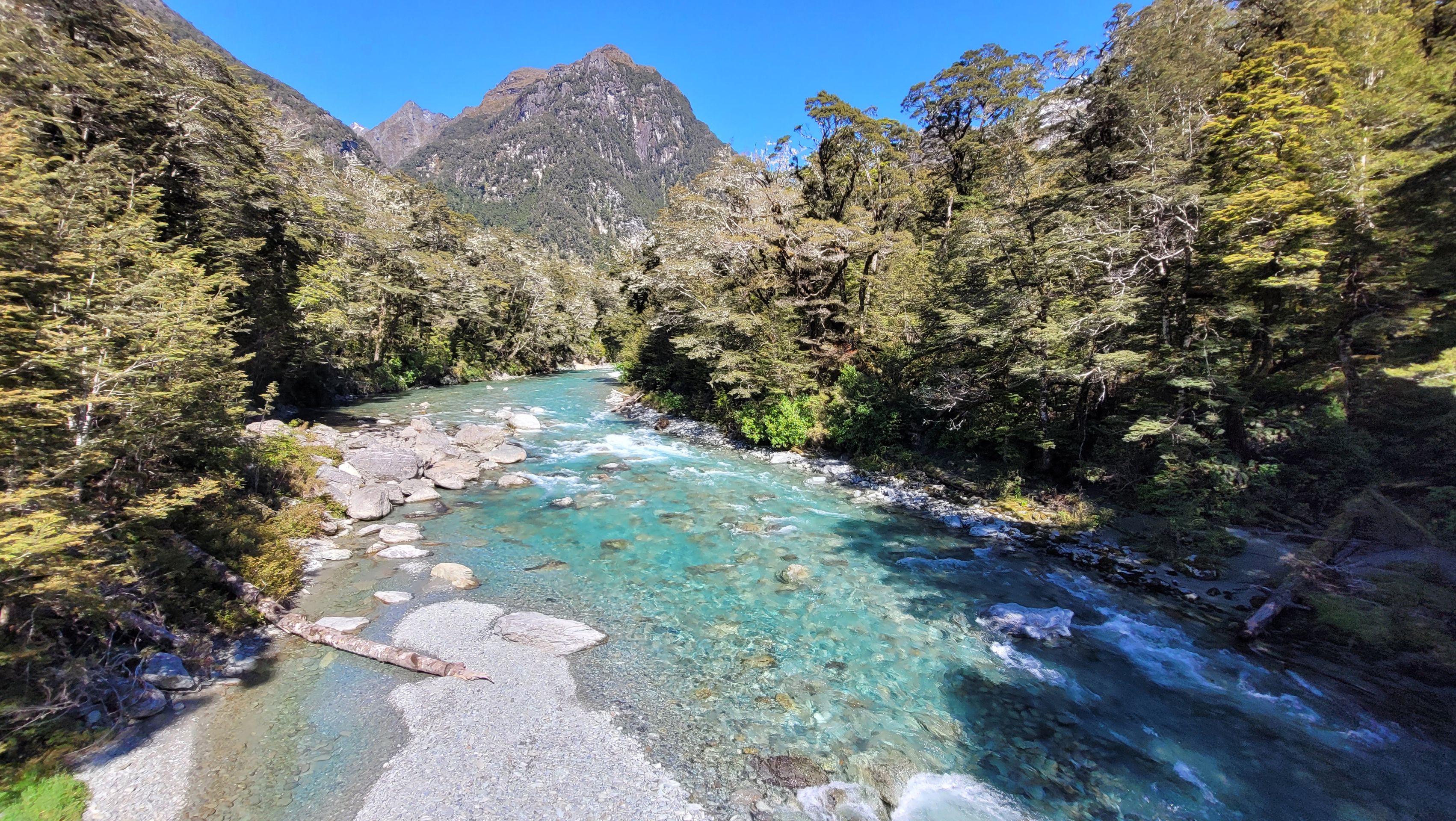
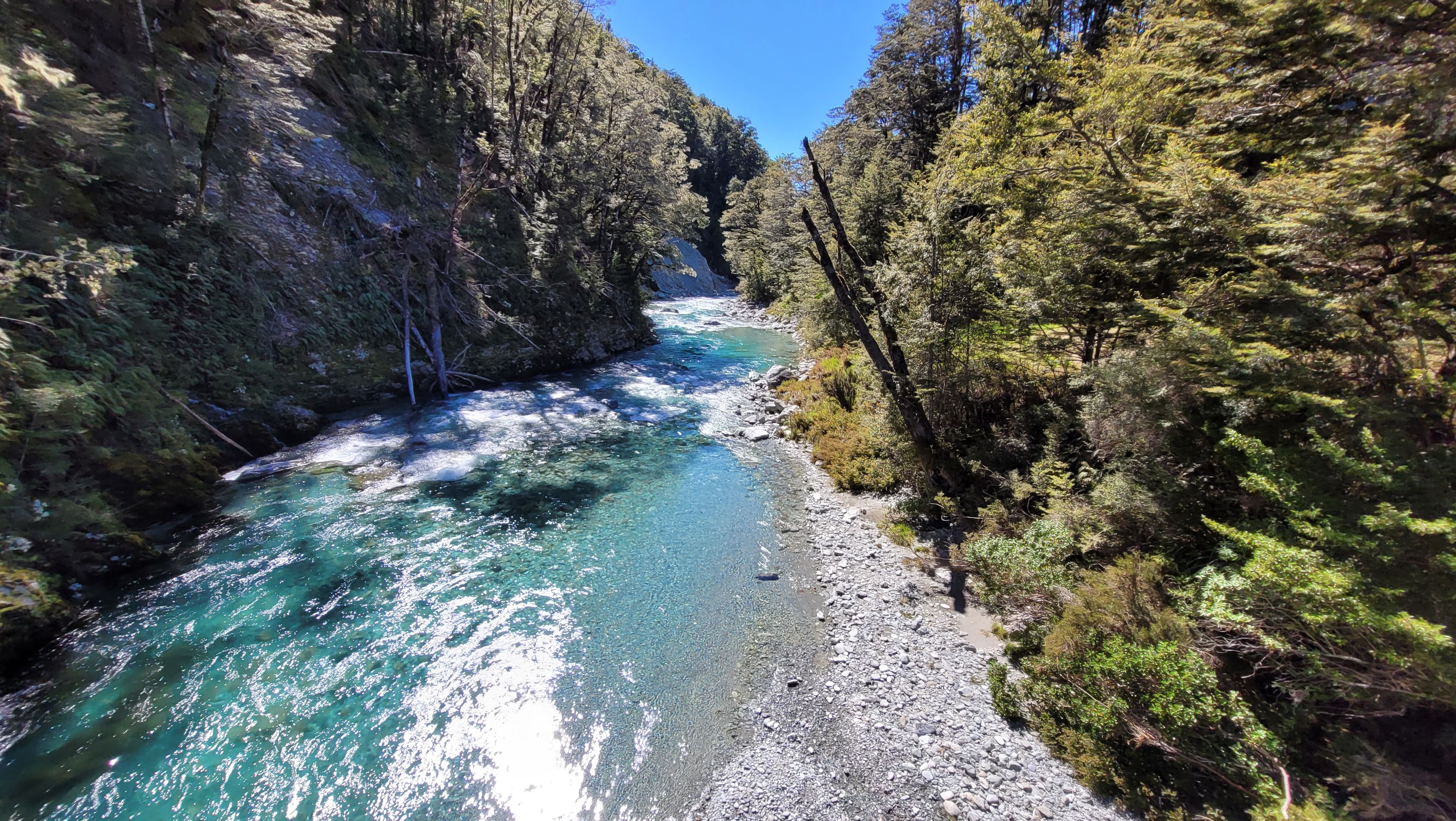
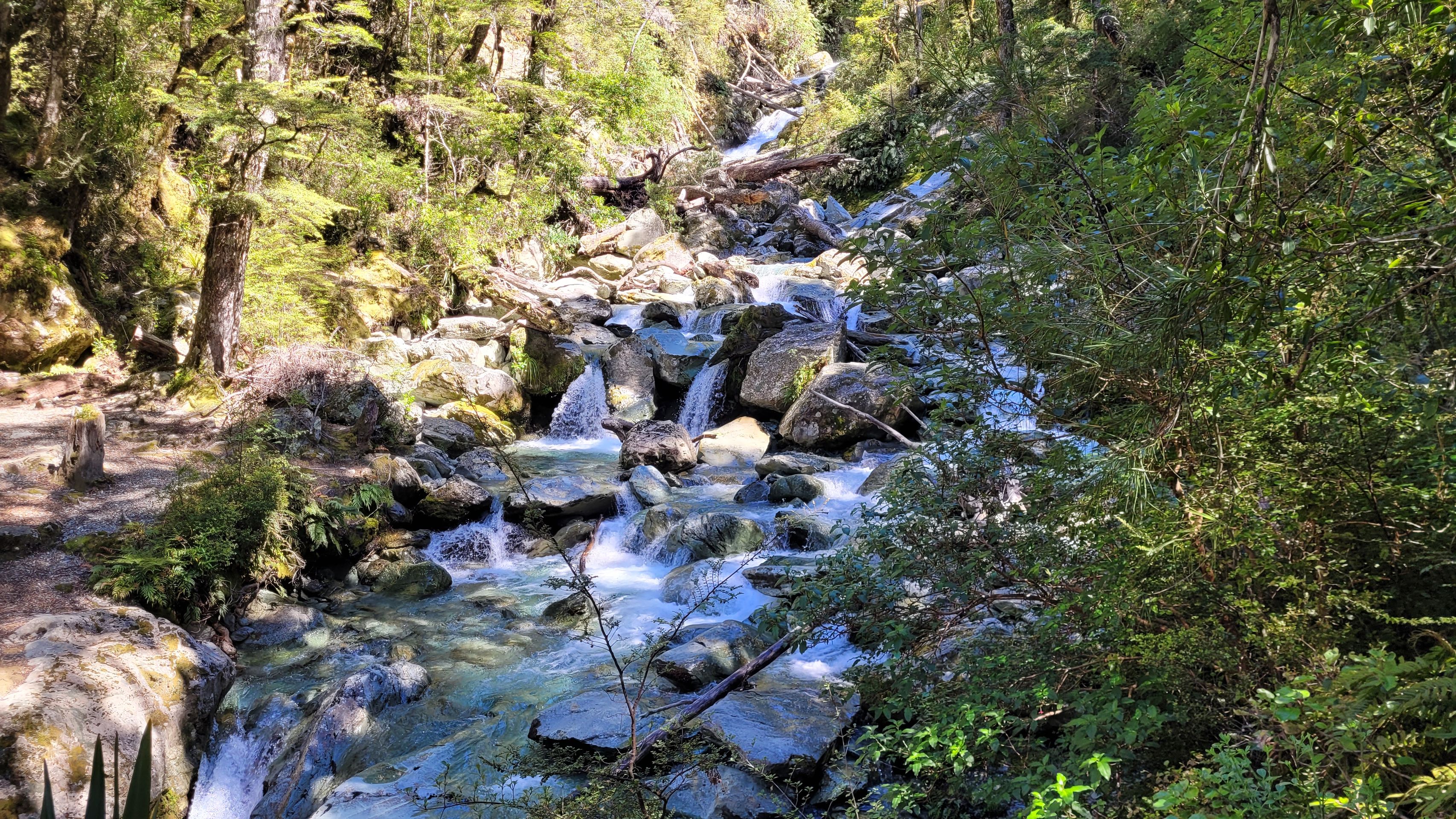
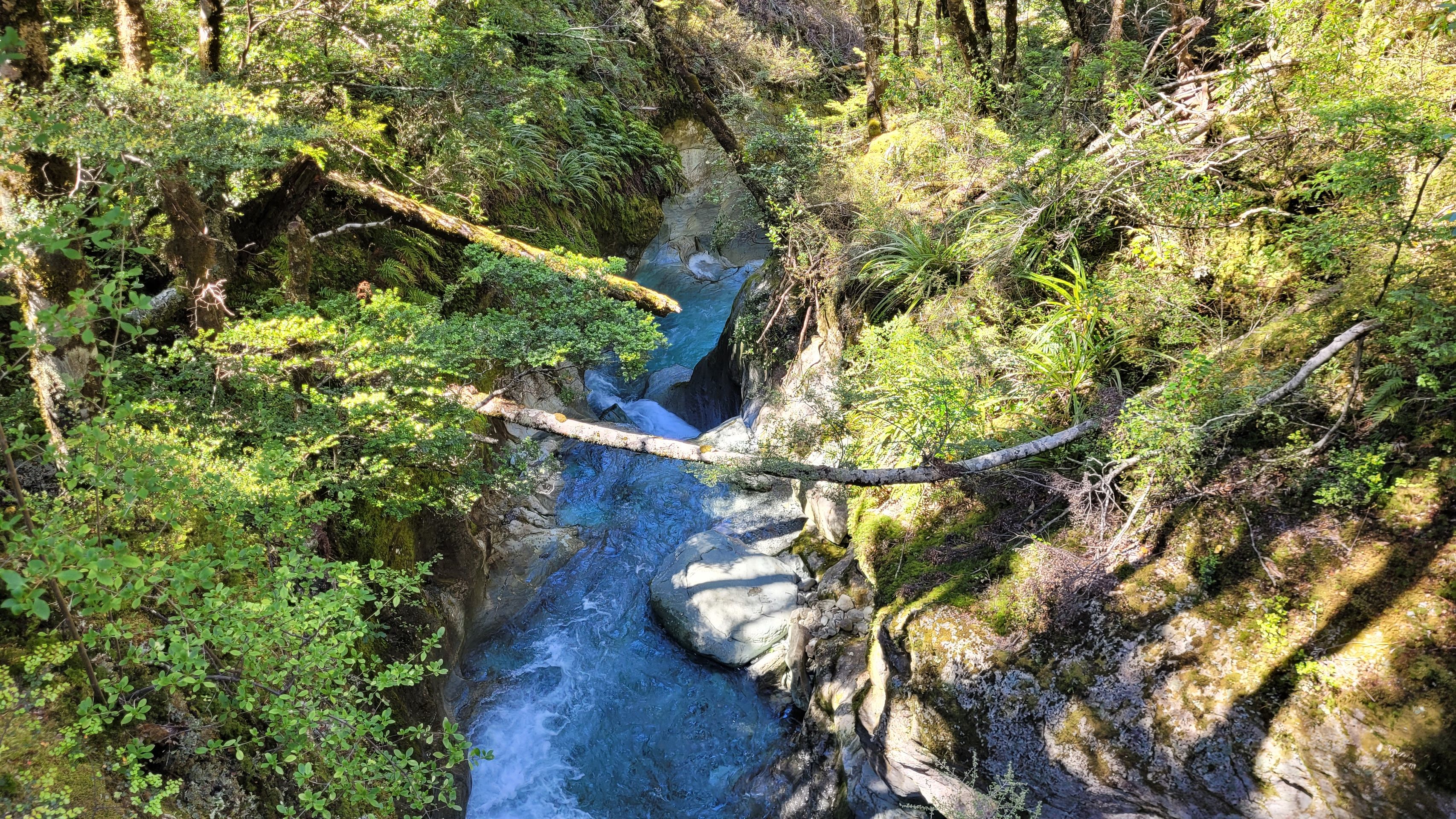
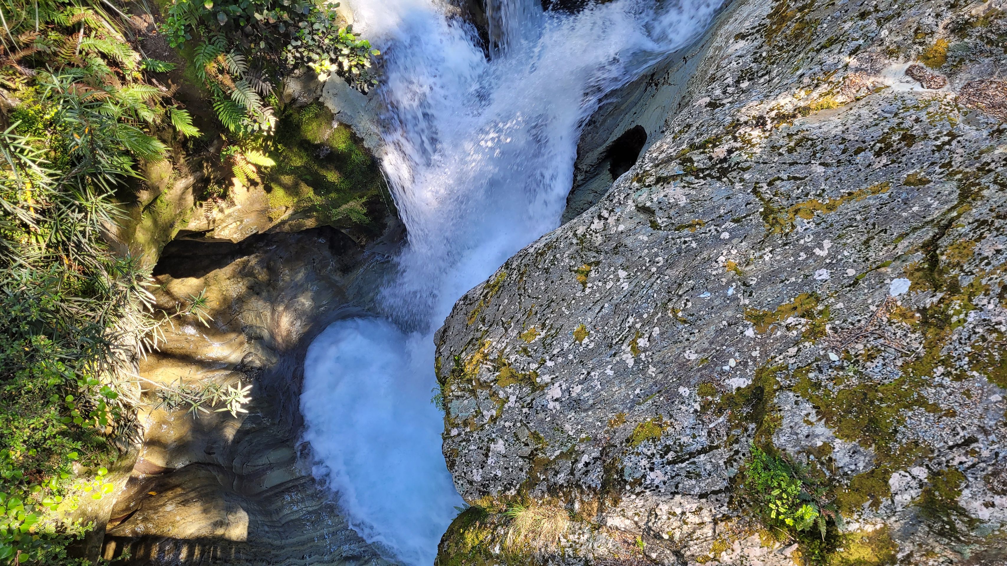
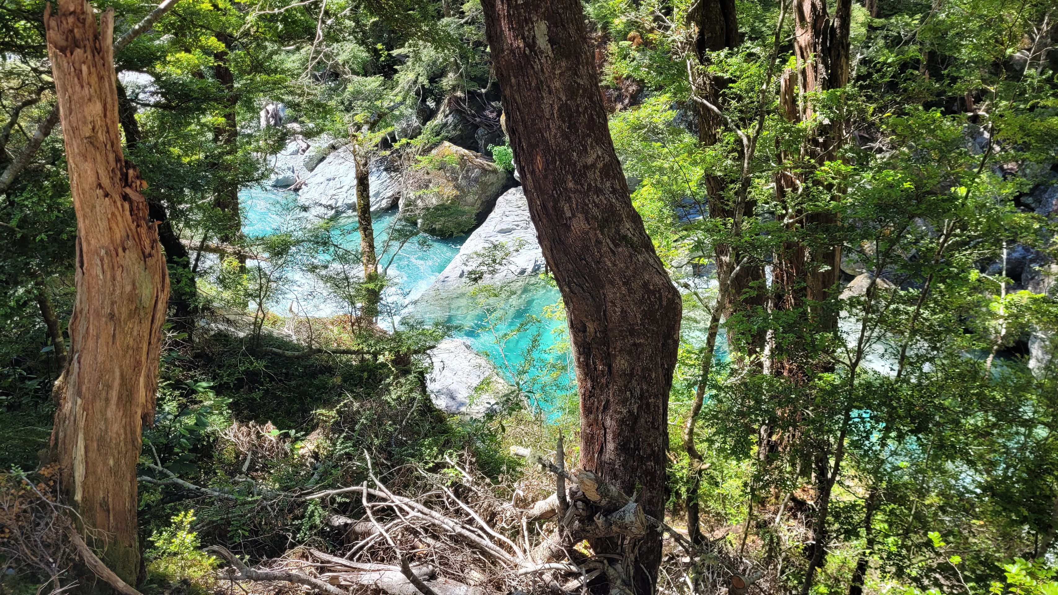
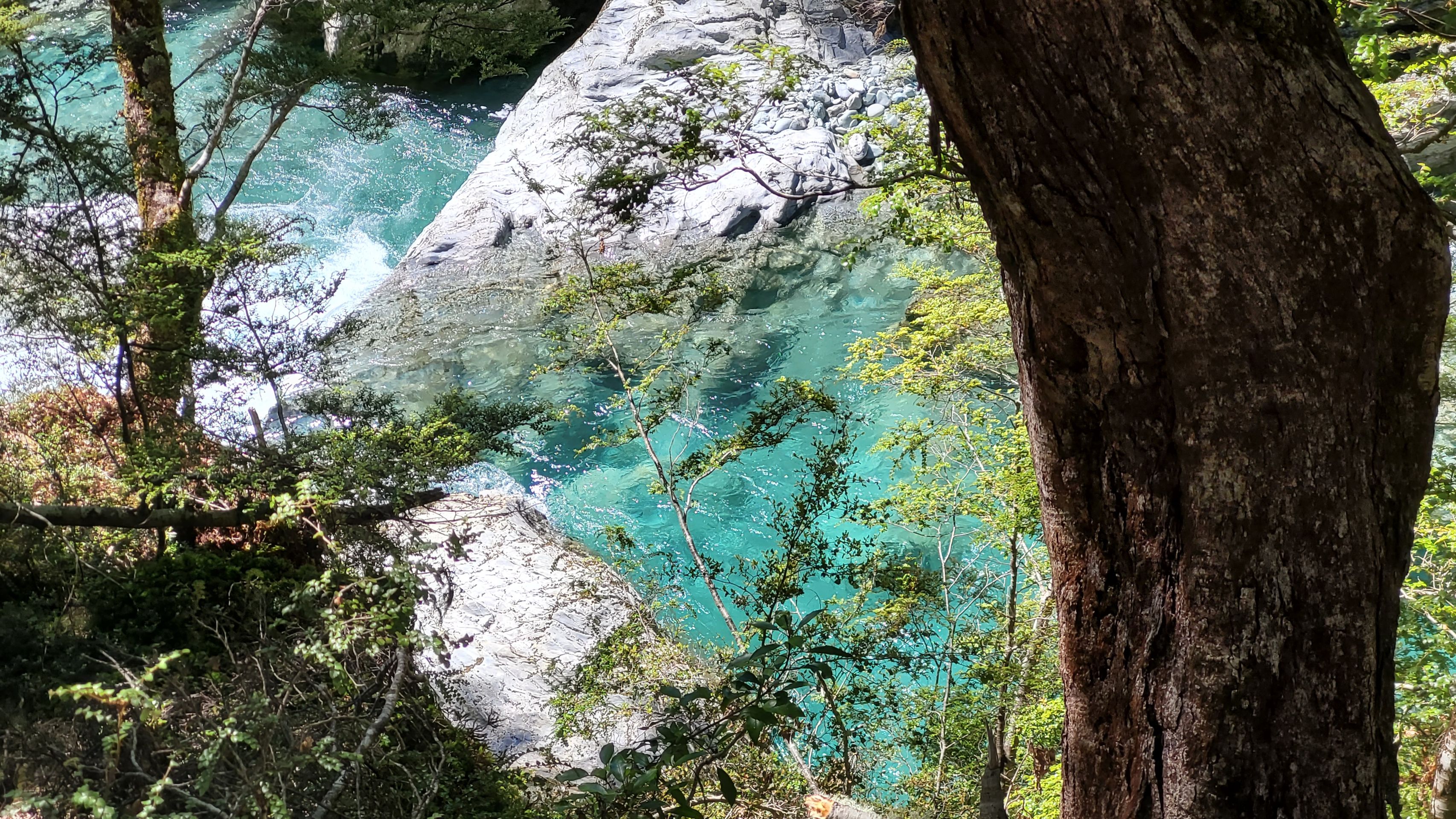
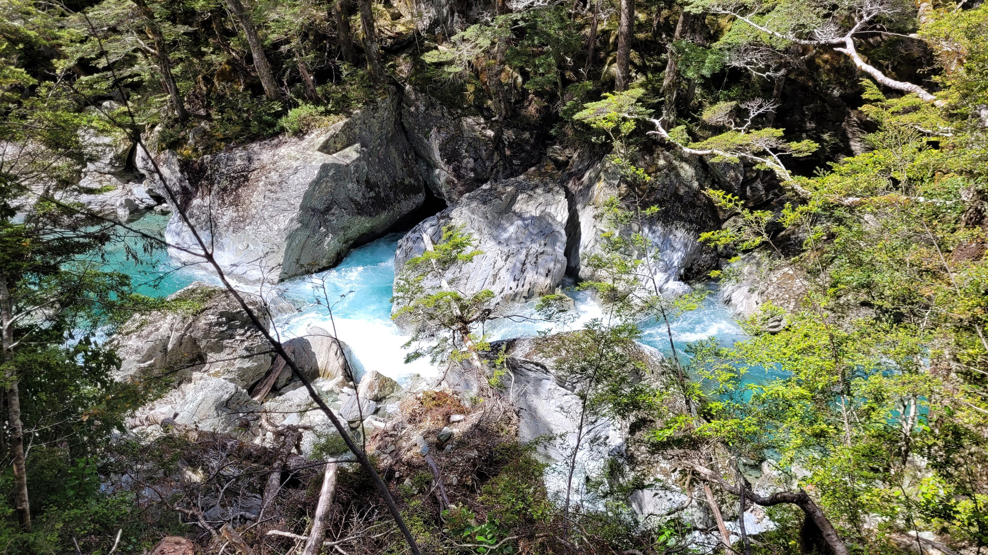
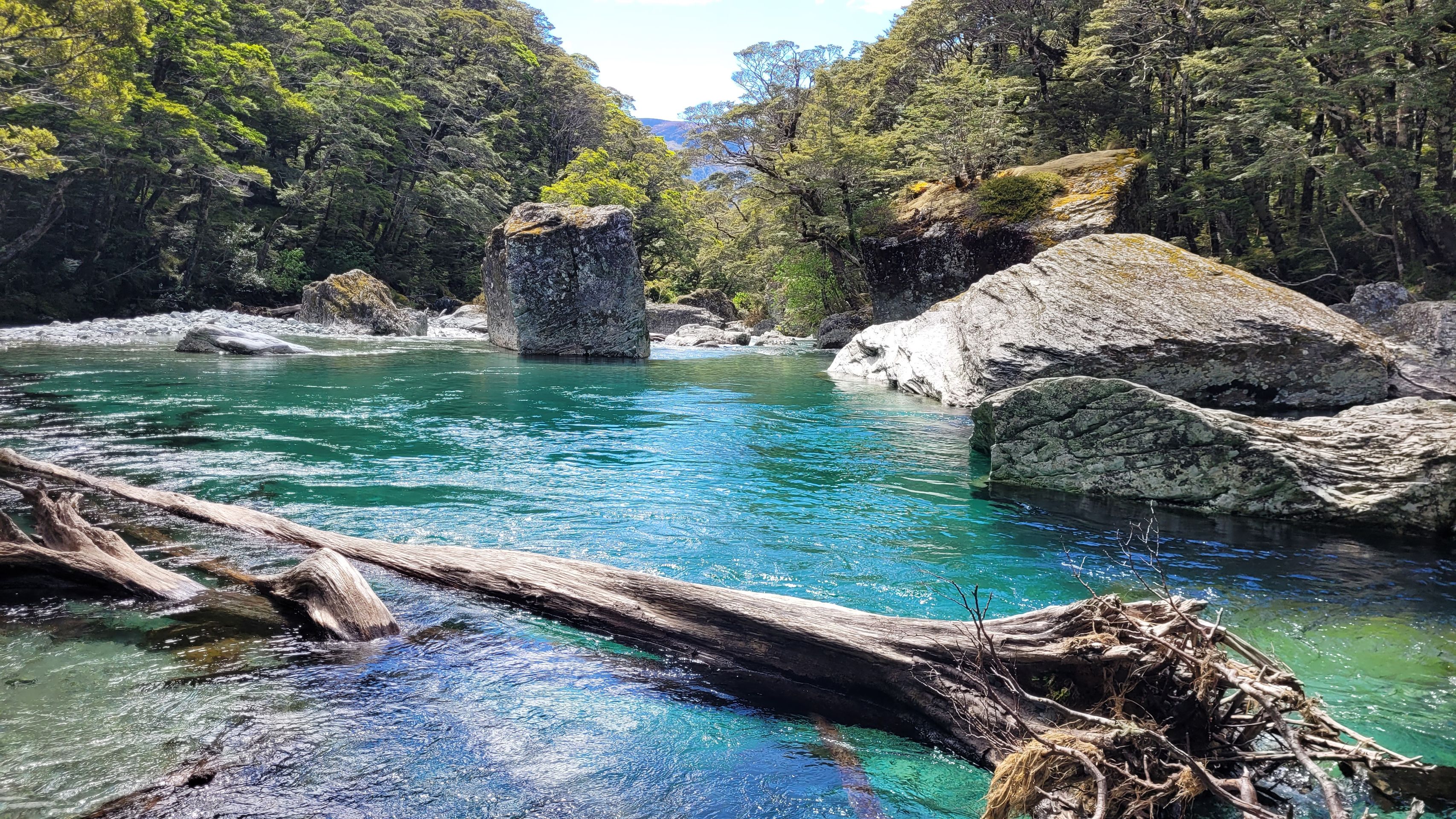
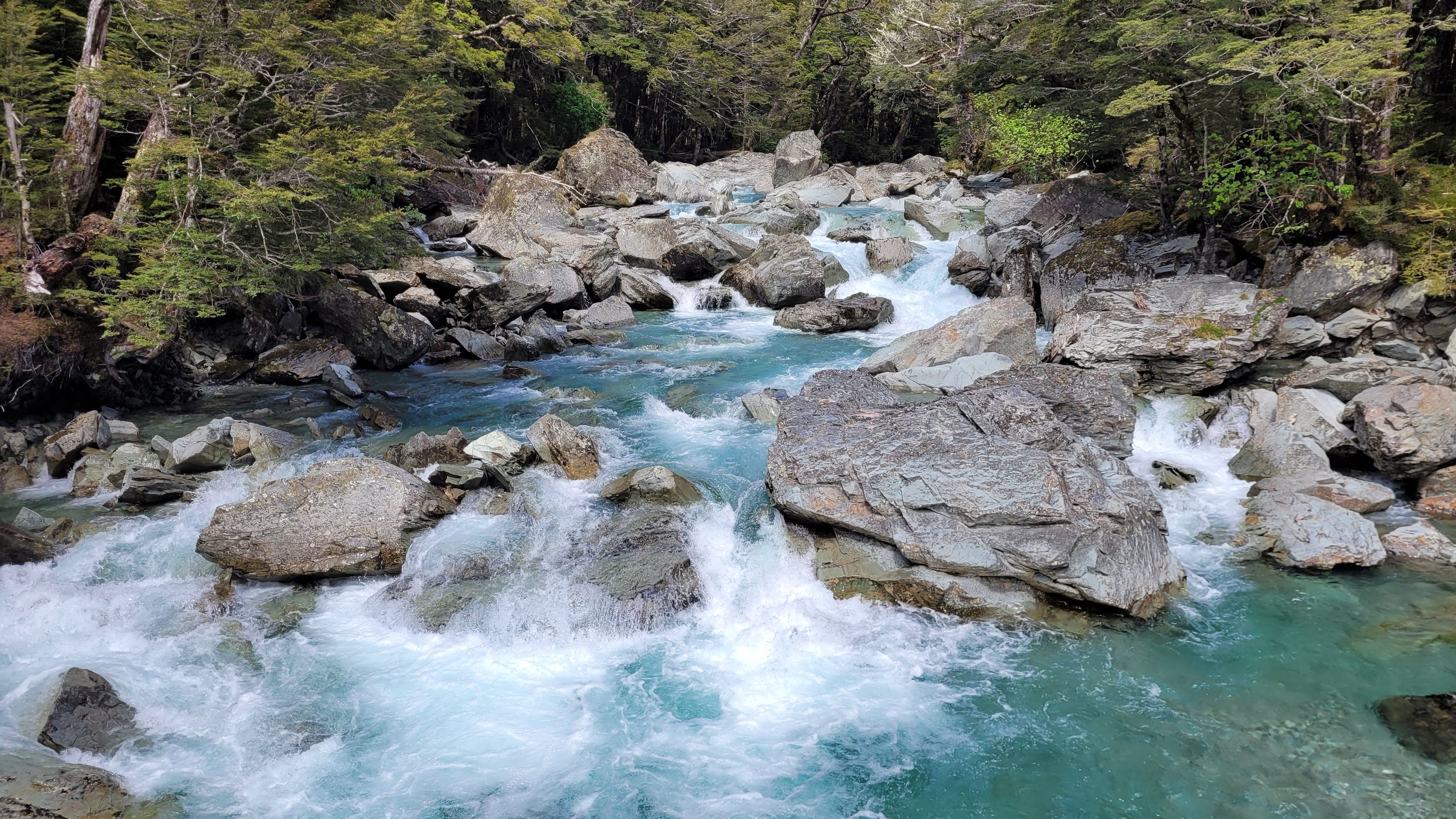
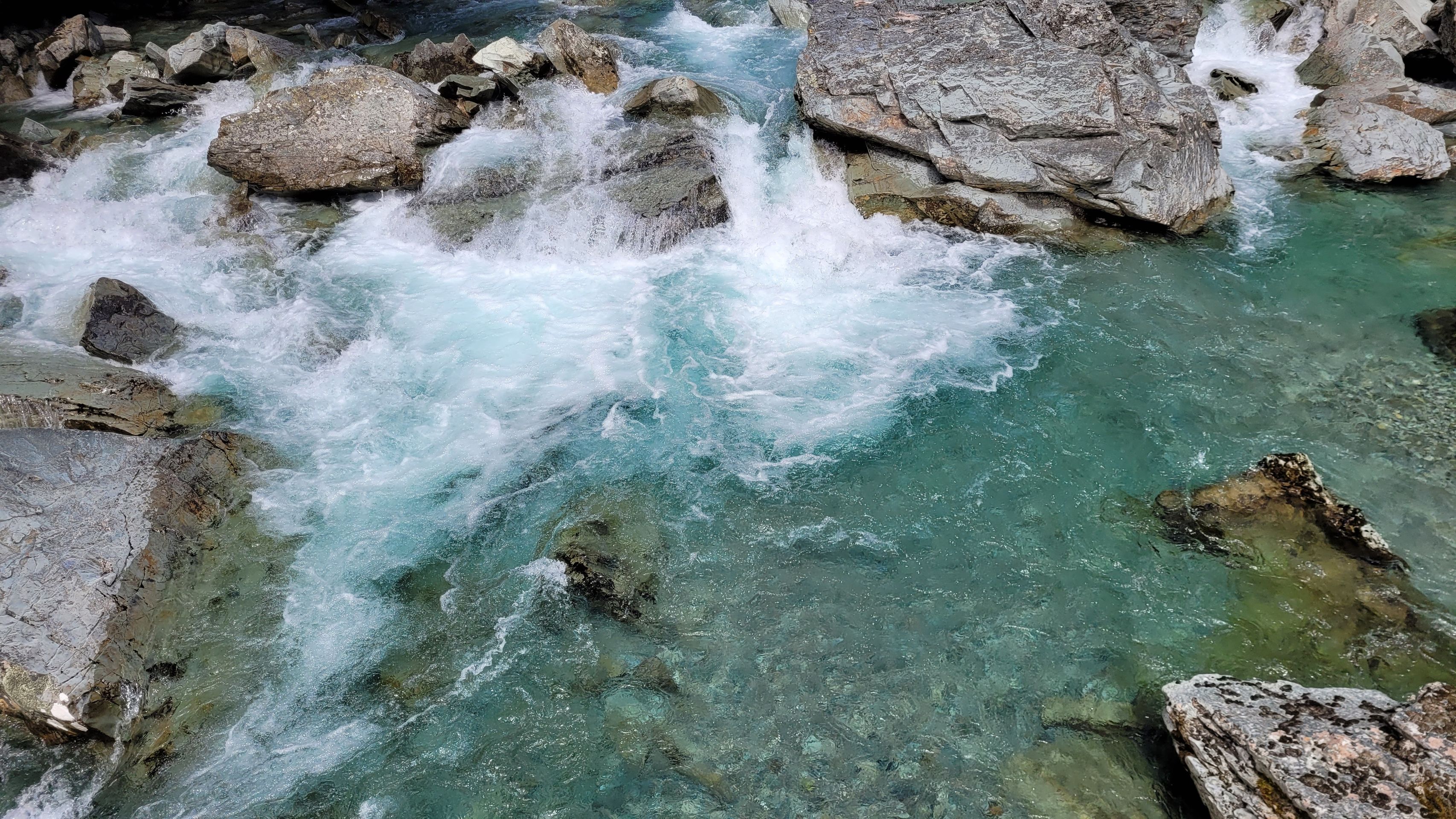
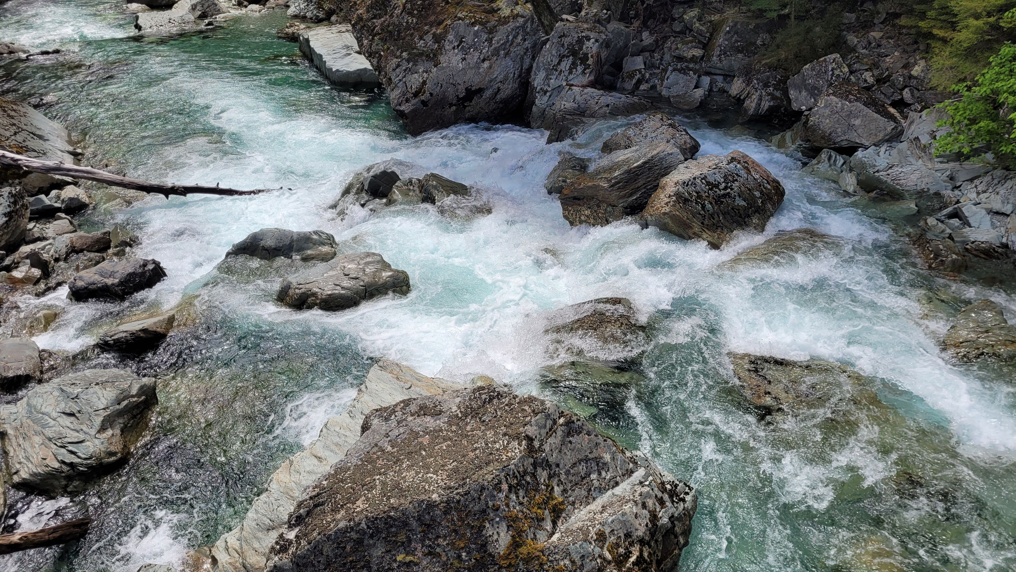
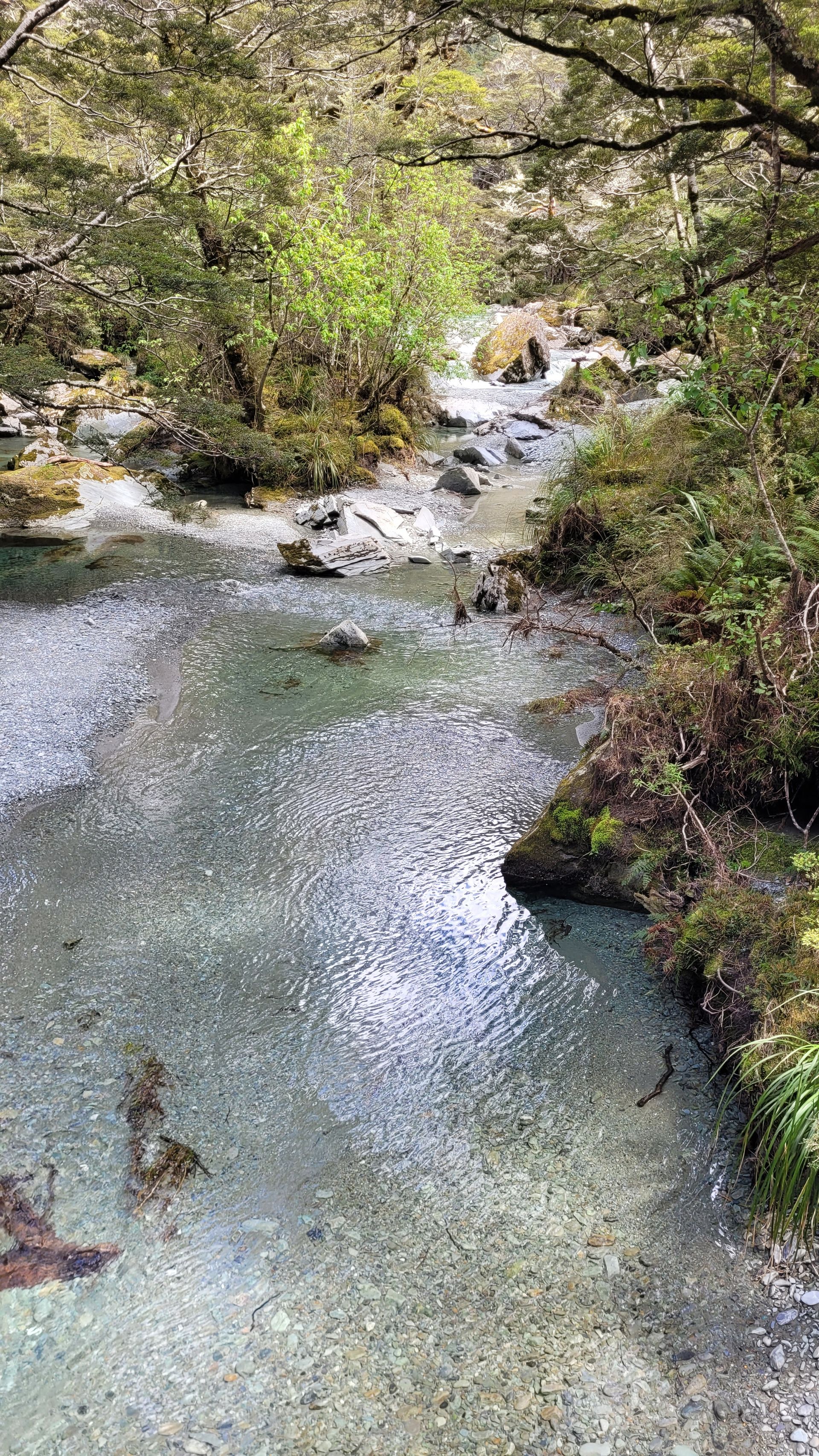
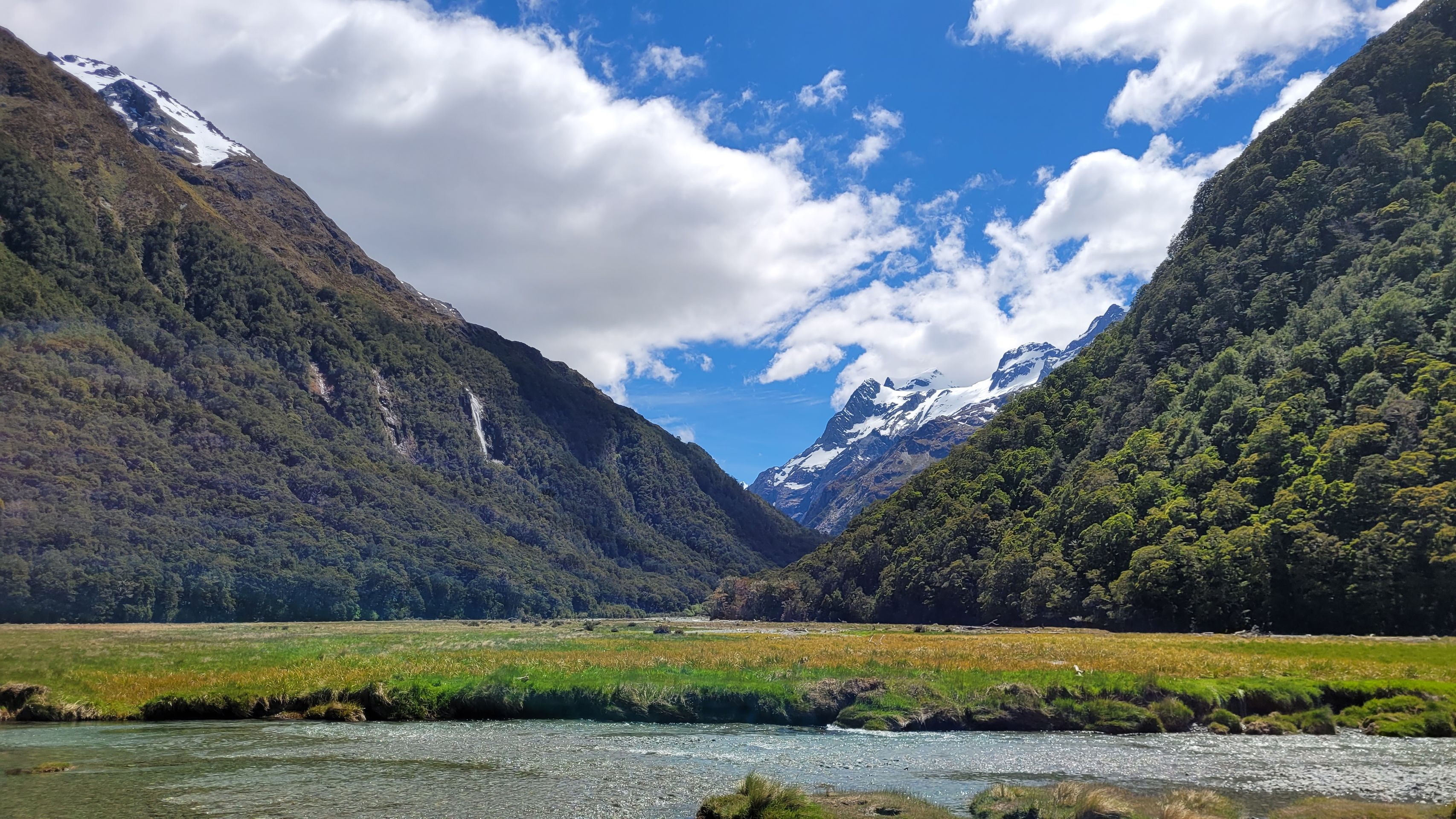
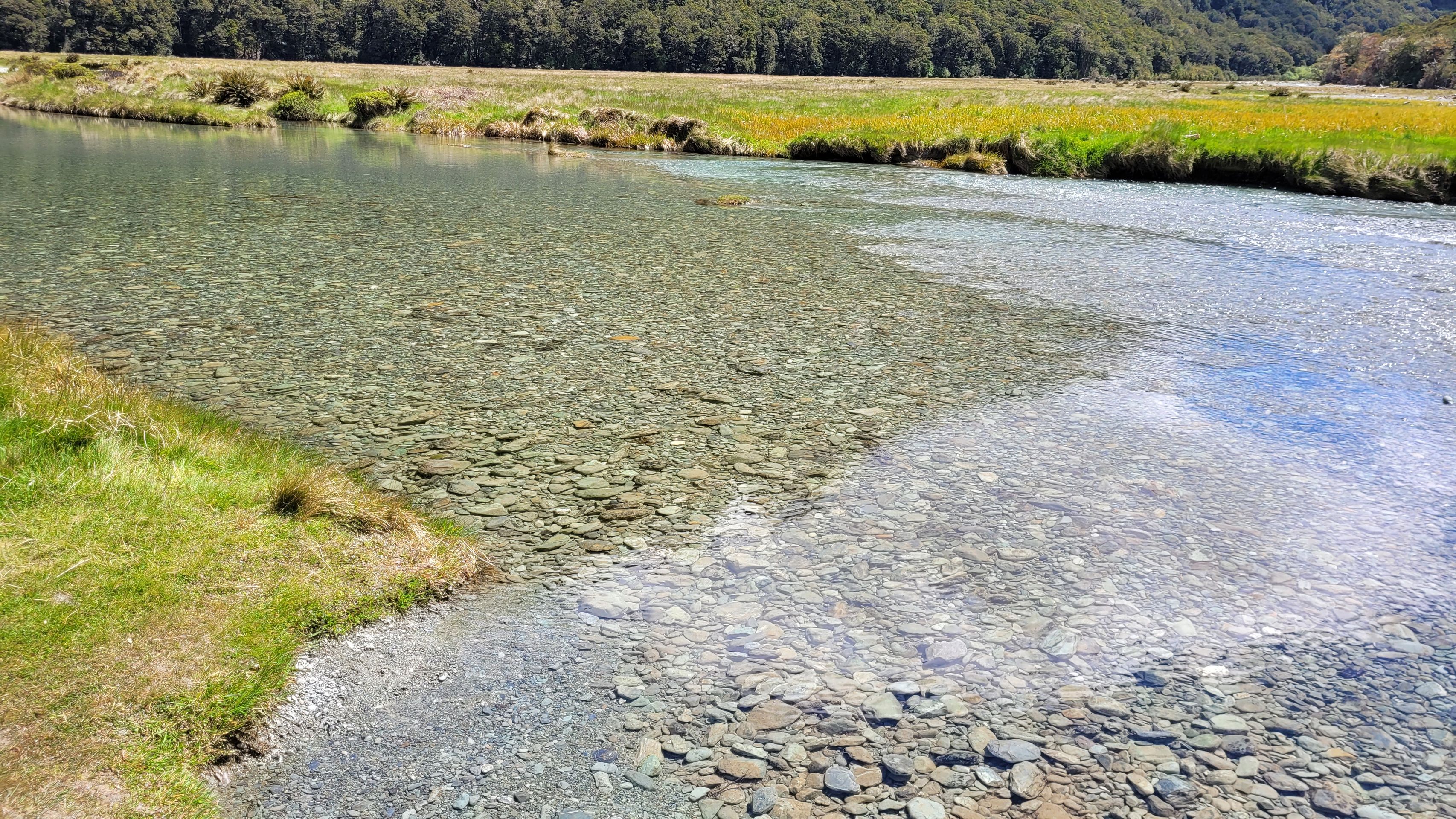
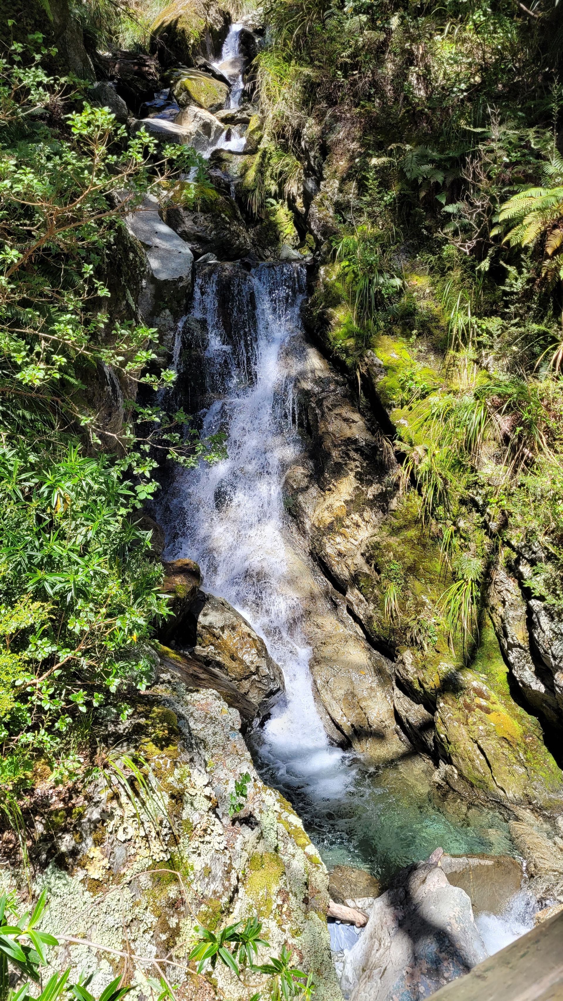
As we walk over swing bridges, we also need to cross valleys. In rare cases, it's just rubble down there. Most of the time, a clear mountain stream flows, or better, cascades down over large boulders. Crystal-clear water, usually with a greenish hue. Beautiful!
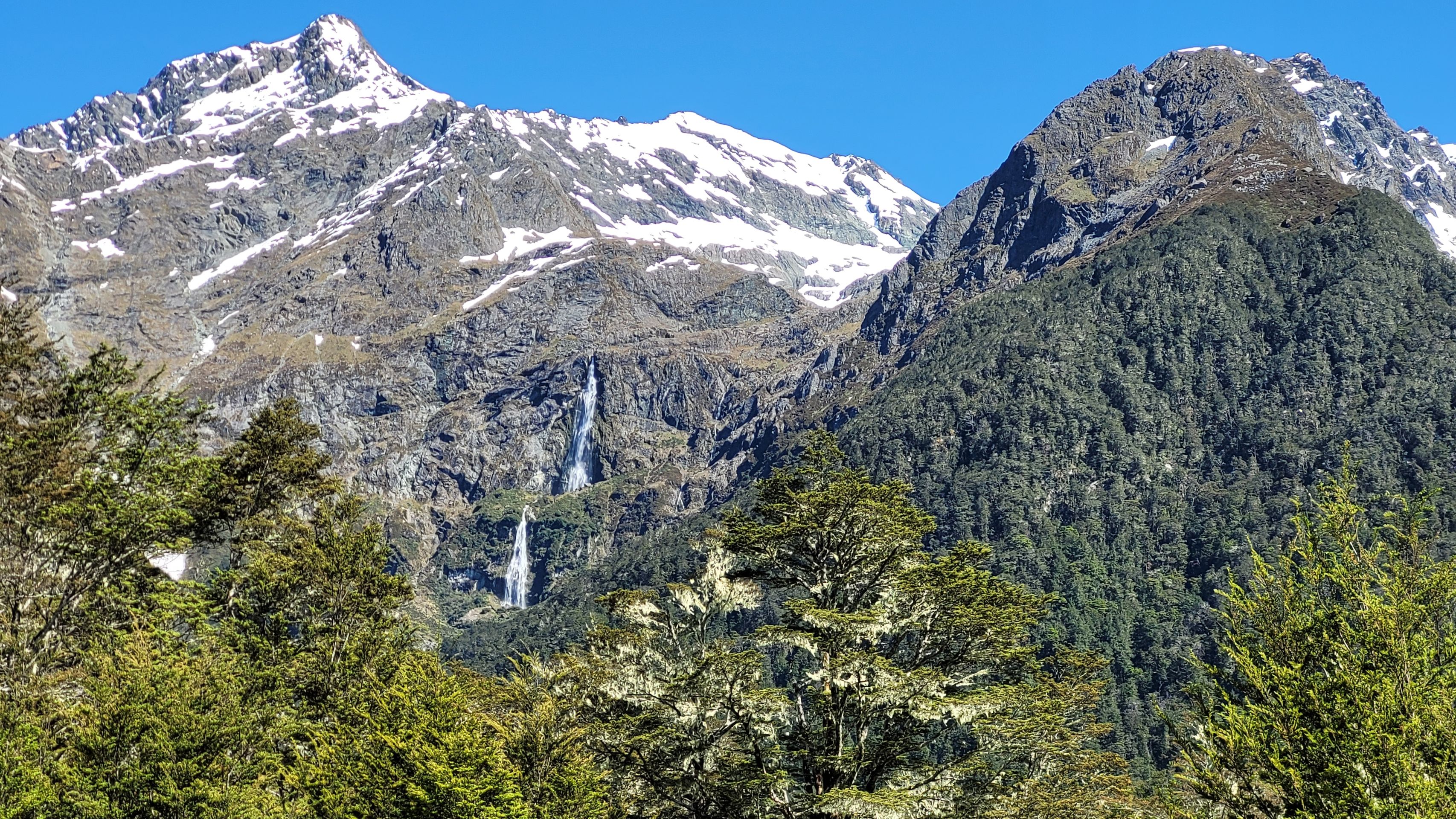
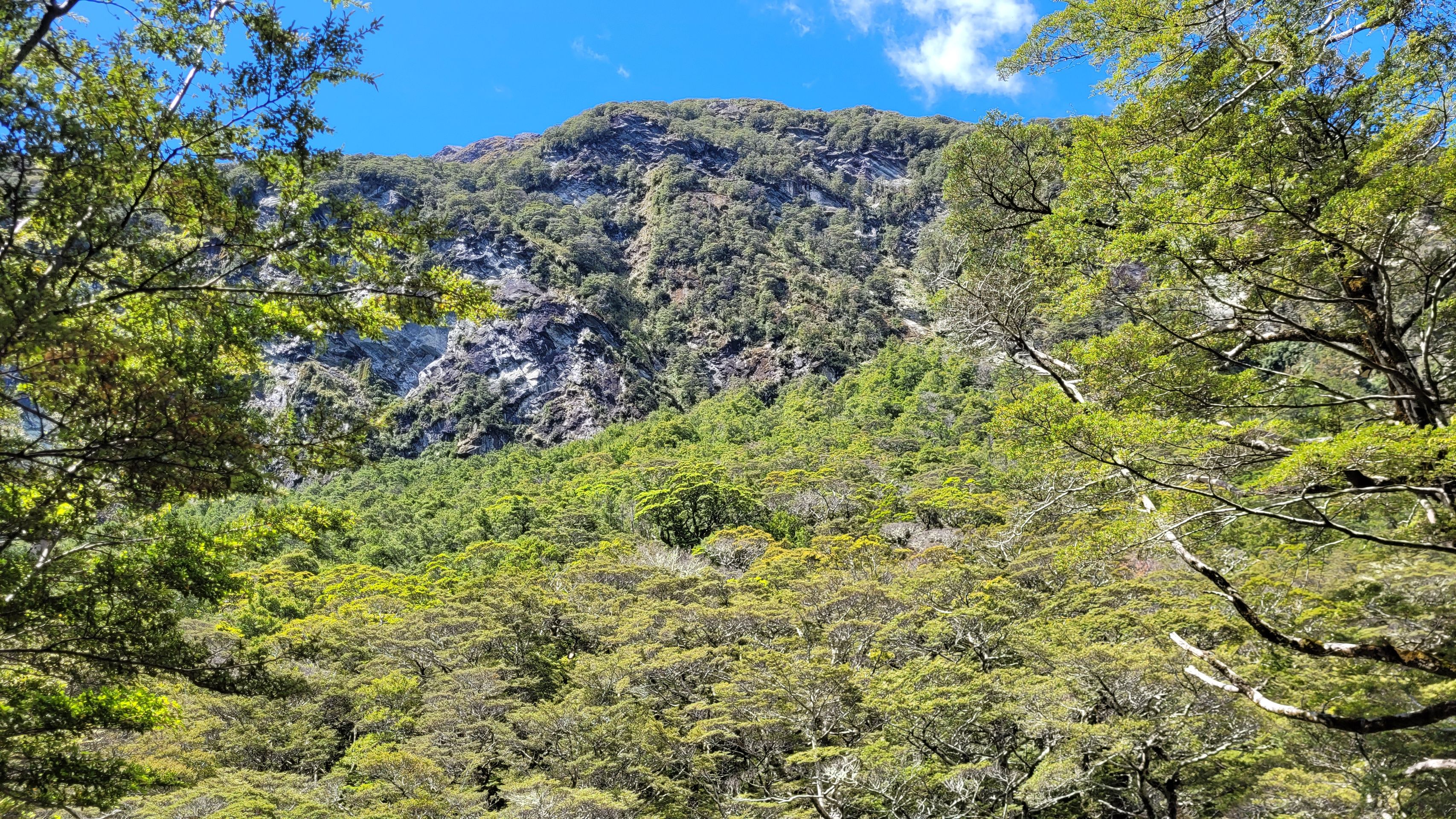
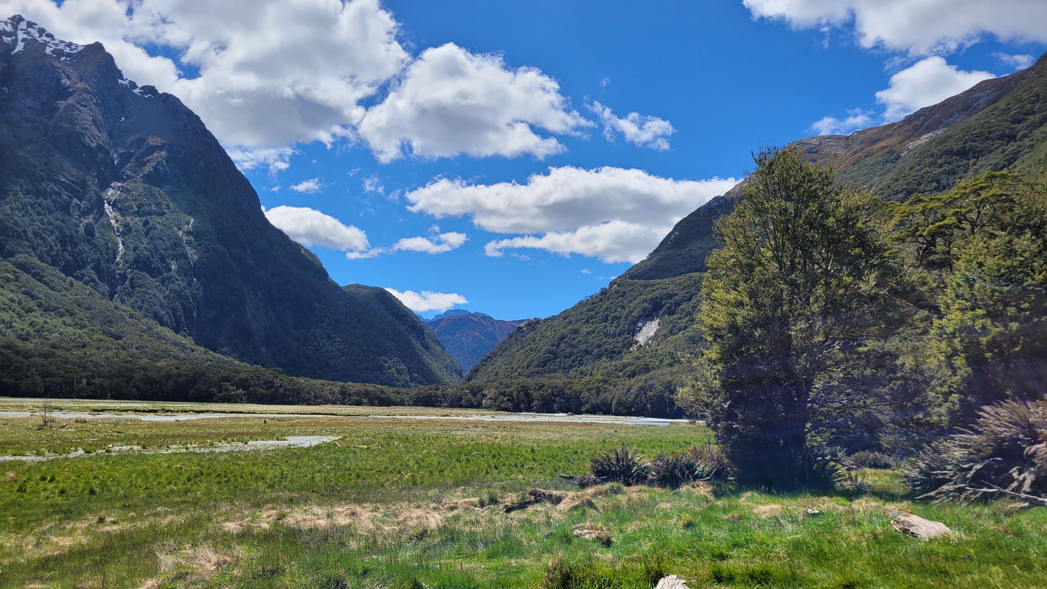
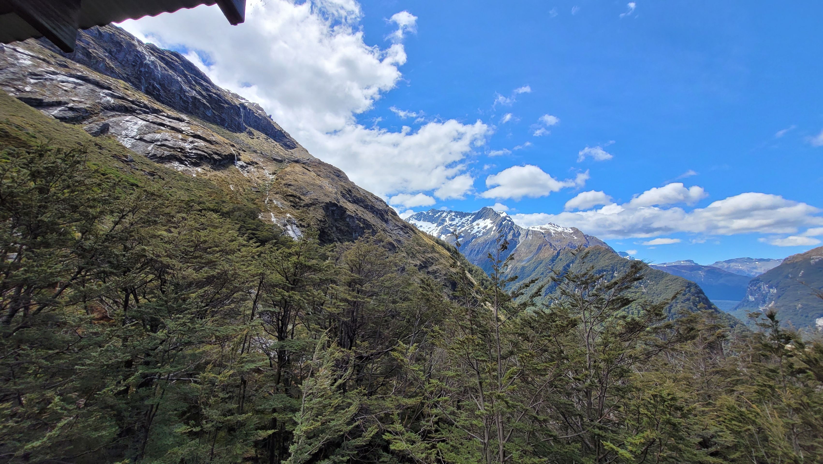
We can also spot many waterfalls in the mountain walls. Somewhere the water must come from ... and it indeed comes from very high up ...
After almost 2 hours, we reach the Flats Hut. Despite photo stops, we made good time. The sign indicated a duration of 1.5 to 2.5 hours. We are satisfied ...
We don't allow ourselves a long break since we want to rest at the Falls Hut. According to the signs, it should take 1 to 1.5 hours from the Flats Hut to the Falls Hut.
We know that we will now have more elevation gain to climb. After all, we have 300 meters of elevation difference to overcome again. We have now been given a time of 1 to 1.5 hours for a distance of 2.3 km.
And we feel that right after the first meters on the way up to 1000 meters where the Falls Hut is located. We feel like we have been walking uphill for half an hour just ... and on a narrow path with lots of rubble. For me, it's fine since there's no direct abyss on the valley side. So if I fall, I fall behind the spruce ... ;-)
On our way from the Shelter to the Falls Hut, we encounter not many but some hikers. A group of Asians stands out. We didn’t expect them here because this type of person tends to go only where you can get there directly by bus. Hiking isn't really their thing. They also don’t have time for it. They make world trips in five days.
But we also meet older hikers who take on the path and leisurely hike the distance. We also come across two young Asian women (we think they're Japanese) fully geared up, that is, dressed with everything the autumn wardrobe has to offer. Thick wind and rain jackets, buttoned up to the neck with scarves, sun hats, long pants, gloves, and a face mask ... and a hefty backpack on their backs (do they have everything for four weeks in there ...???) Meanwhile, we are wearing shorts and a sports shirt. In our backpacks, we have a hoodie in case it gets chilly. And with all we carry, we are sweating. What must be the temperature under the outer layer of the two Japanese women, who hardly walk any slower than we do???
After 50 minutes, we then reach the Falls Hut. We had to cross a large rubble field on the last stretch. This had been dislodged from the slope during a heavy rain in 1994 and flooded the normal path. Along the way, there have been sections that one should walk quickly through because there might be falling rocks ... or piles of rocks that have been made passable with a railing hammered into the rock ...
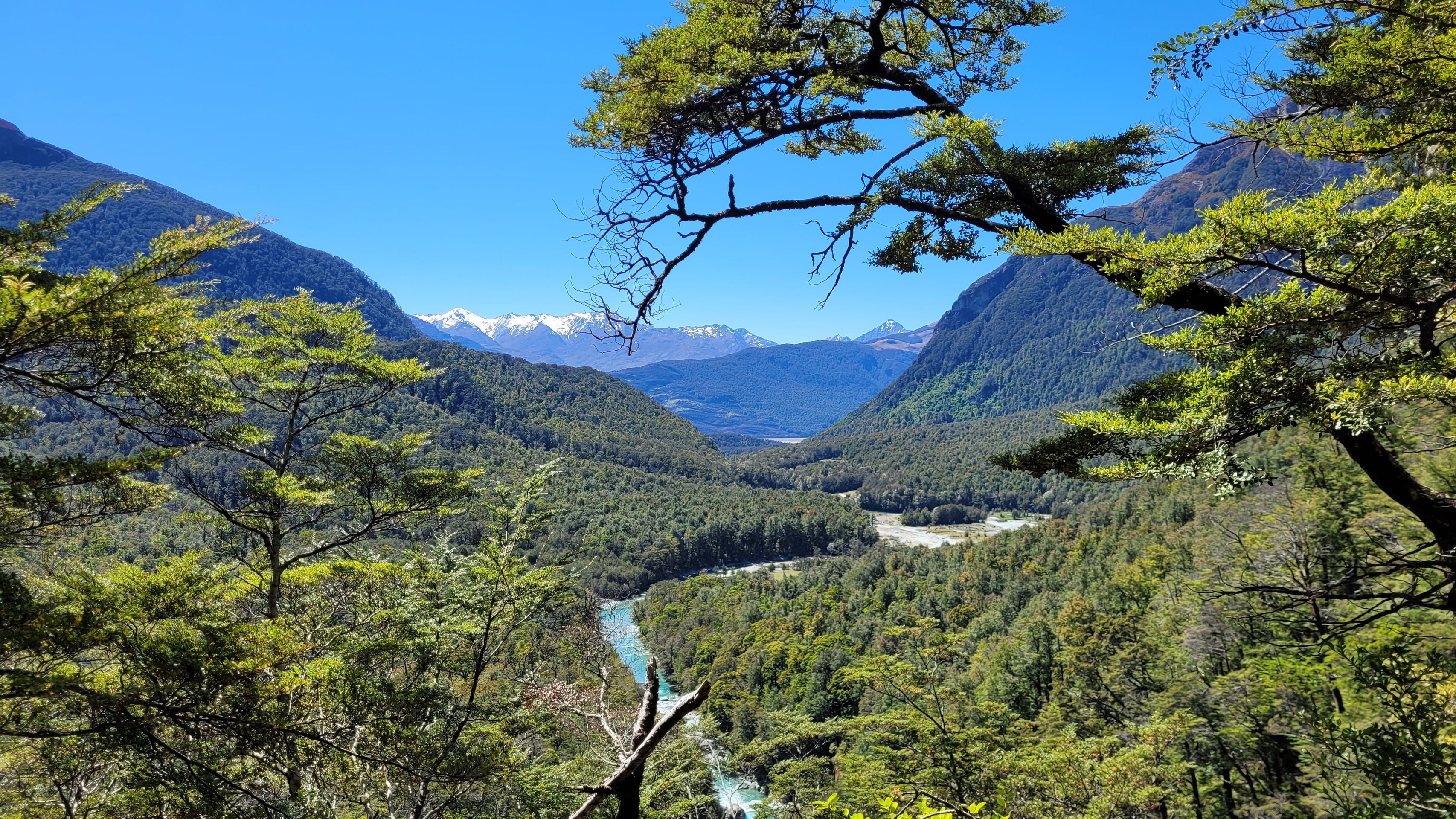
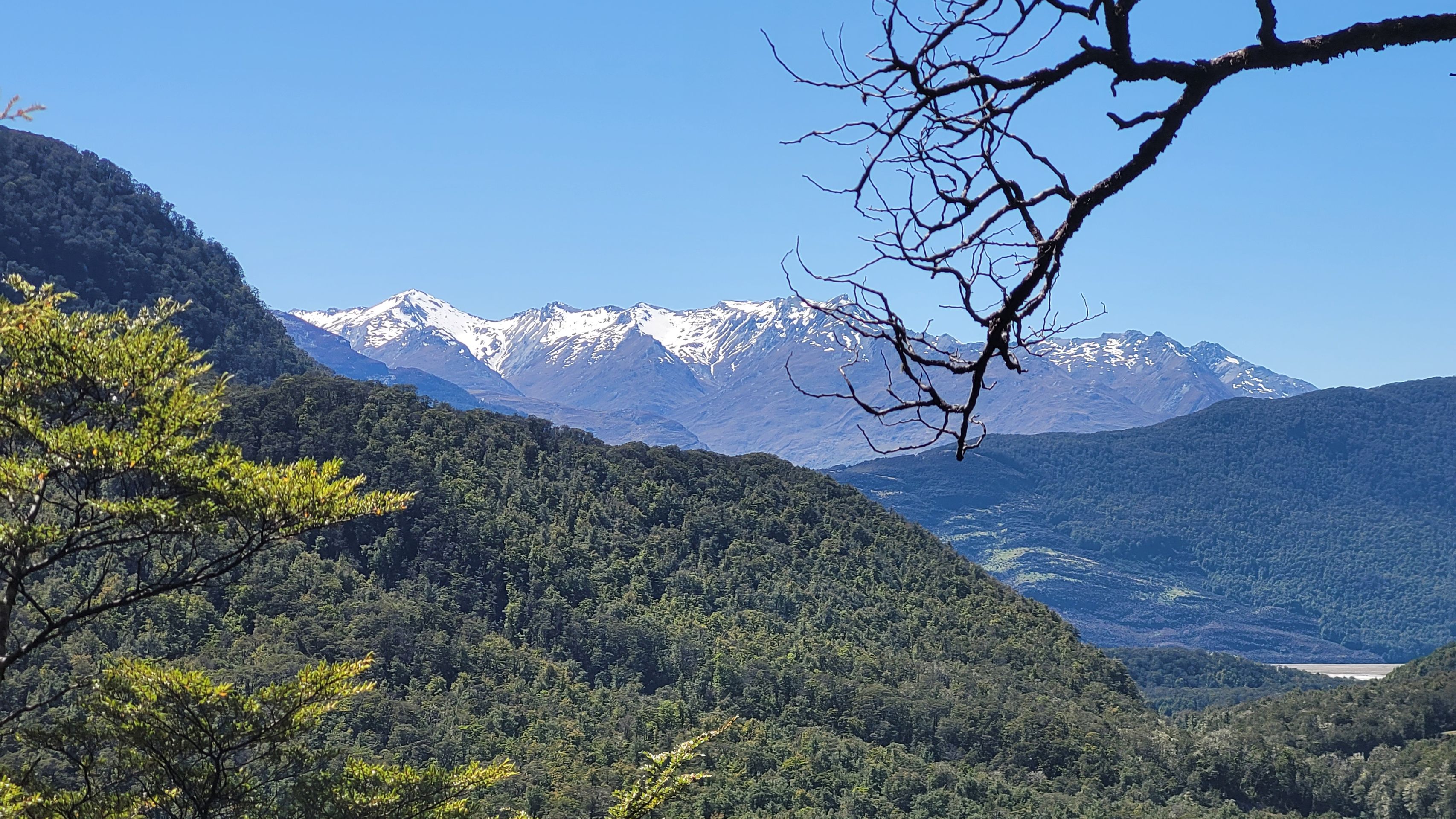
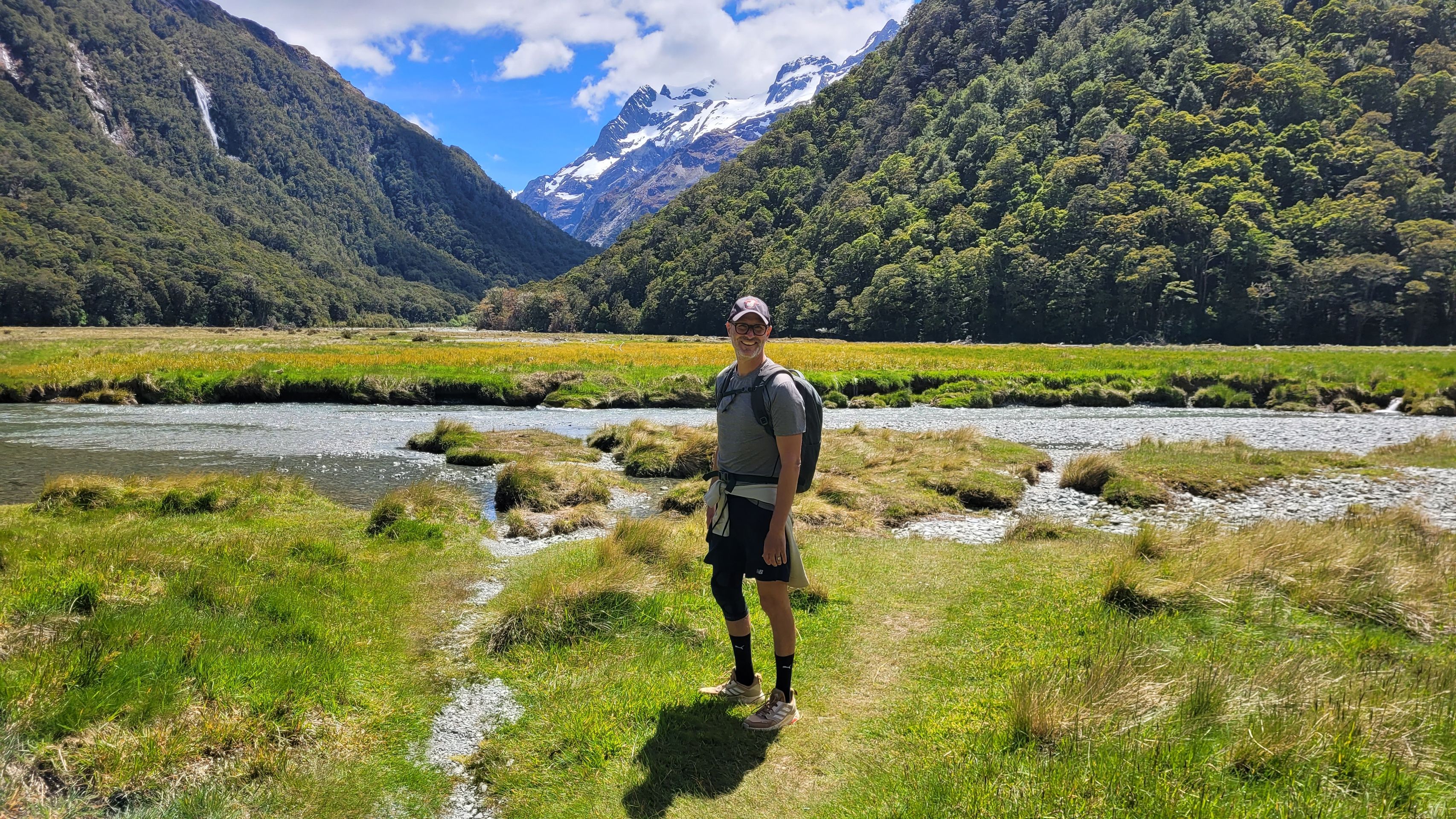
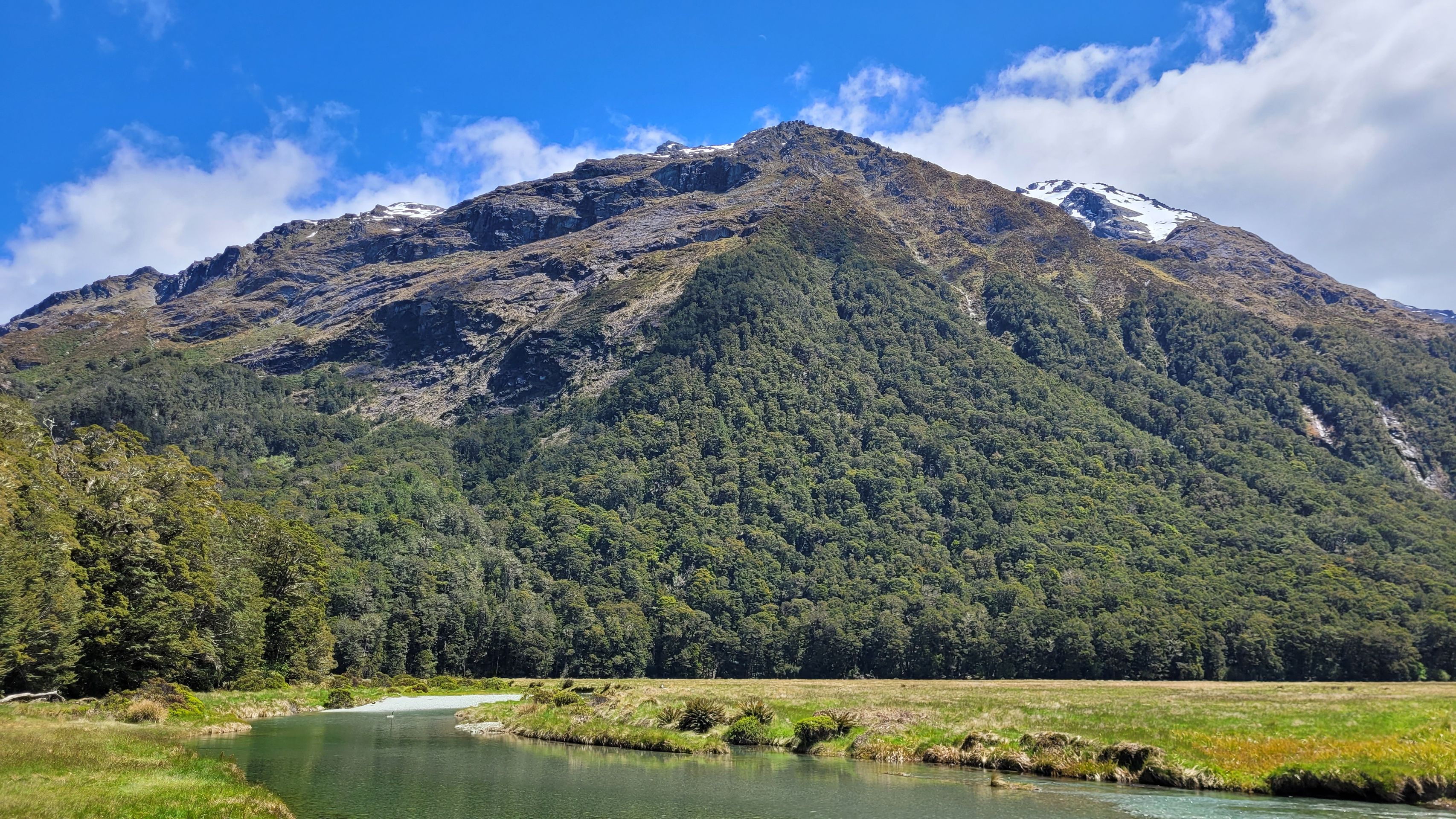
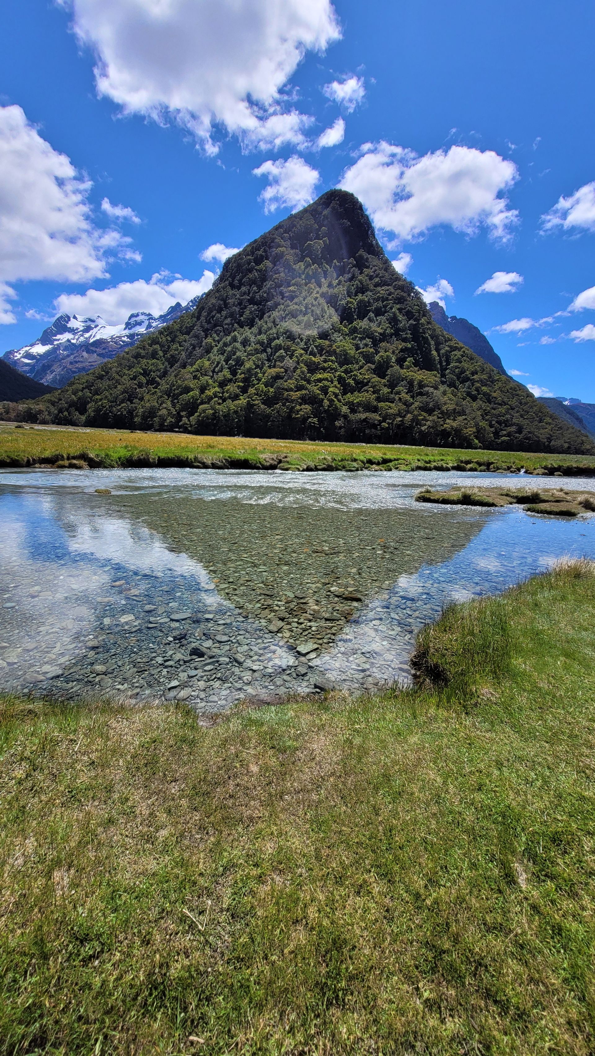
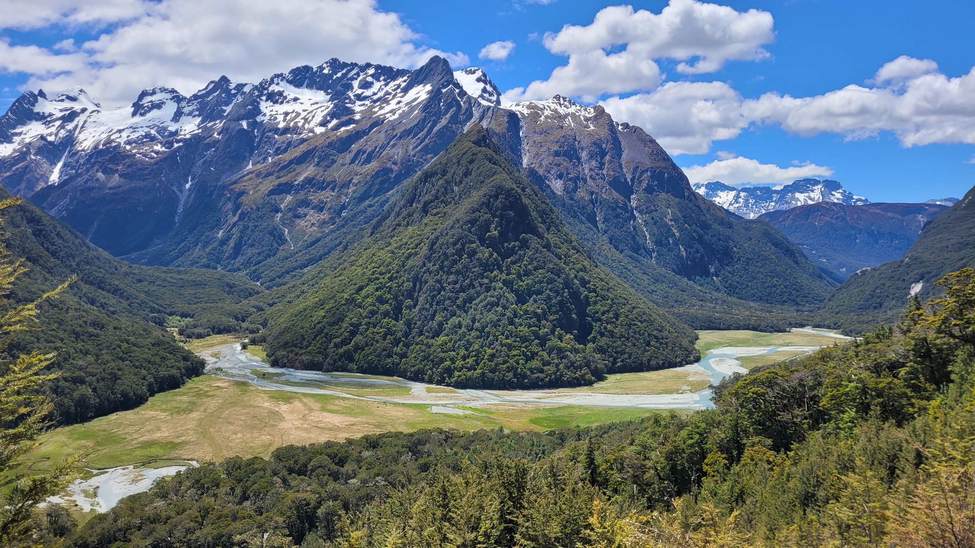
On the last swing bridge on the way, we also got a view of the mountain opposite, which can be circled by a river in front of the Humboldt mountains in the background. Thorsten especially wanted this view.
We have survived everything, and we have reached the last hut on our trail alive. Here came the reward: a pack of our companion cookies, namely Coconutty-Crunch ... Hmmmh ...
The path from the Falls Hut back to the Shelter took us in total less than three hours. The sky had also become a bit overcast, and some clouds rolled in. Without the sun, the view isn't that nice after all. We were lucky again to have started our journey this morning. By the end on the sports watch, we had over 30,000 steps. World record for us. We had never taken so many steps in a day before.
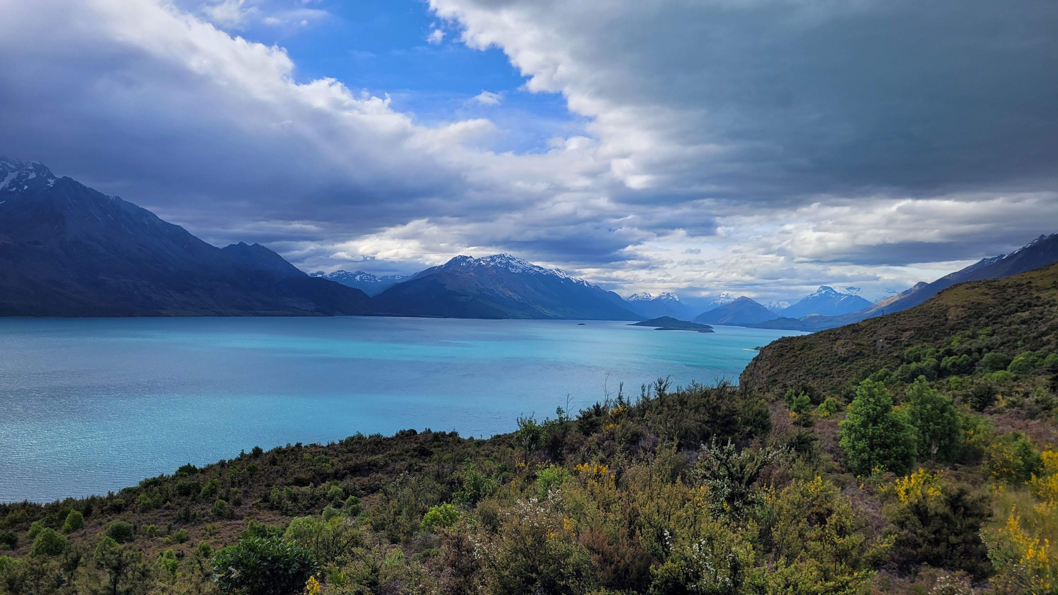
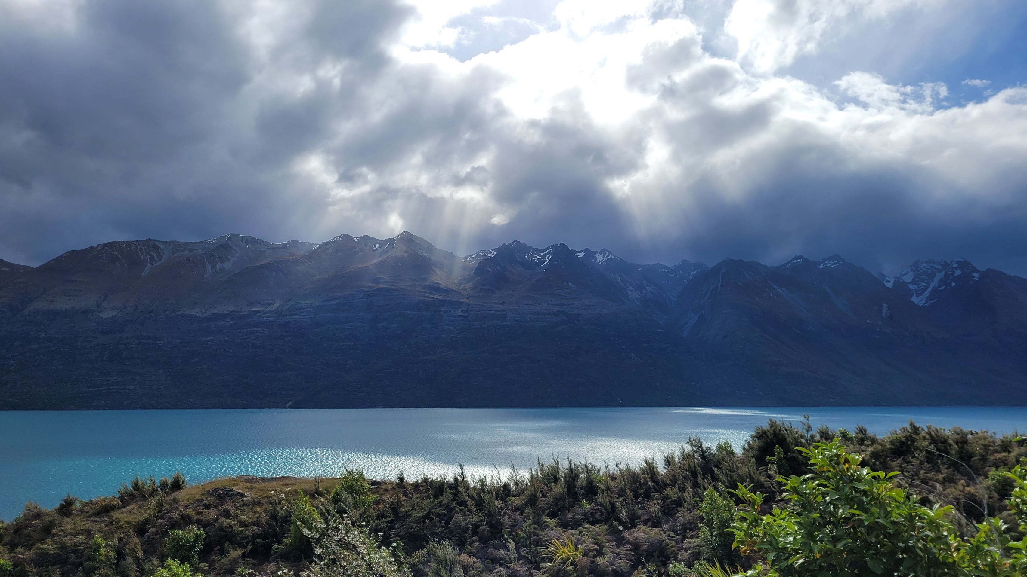
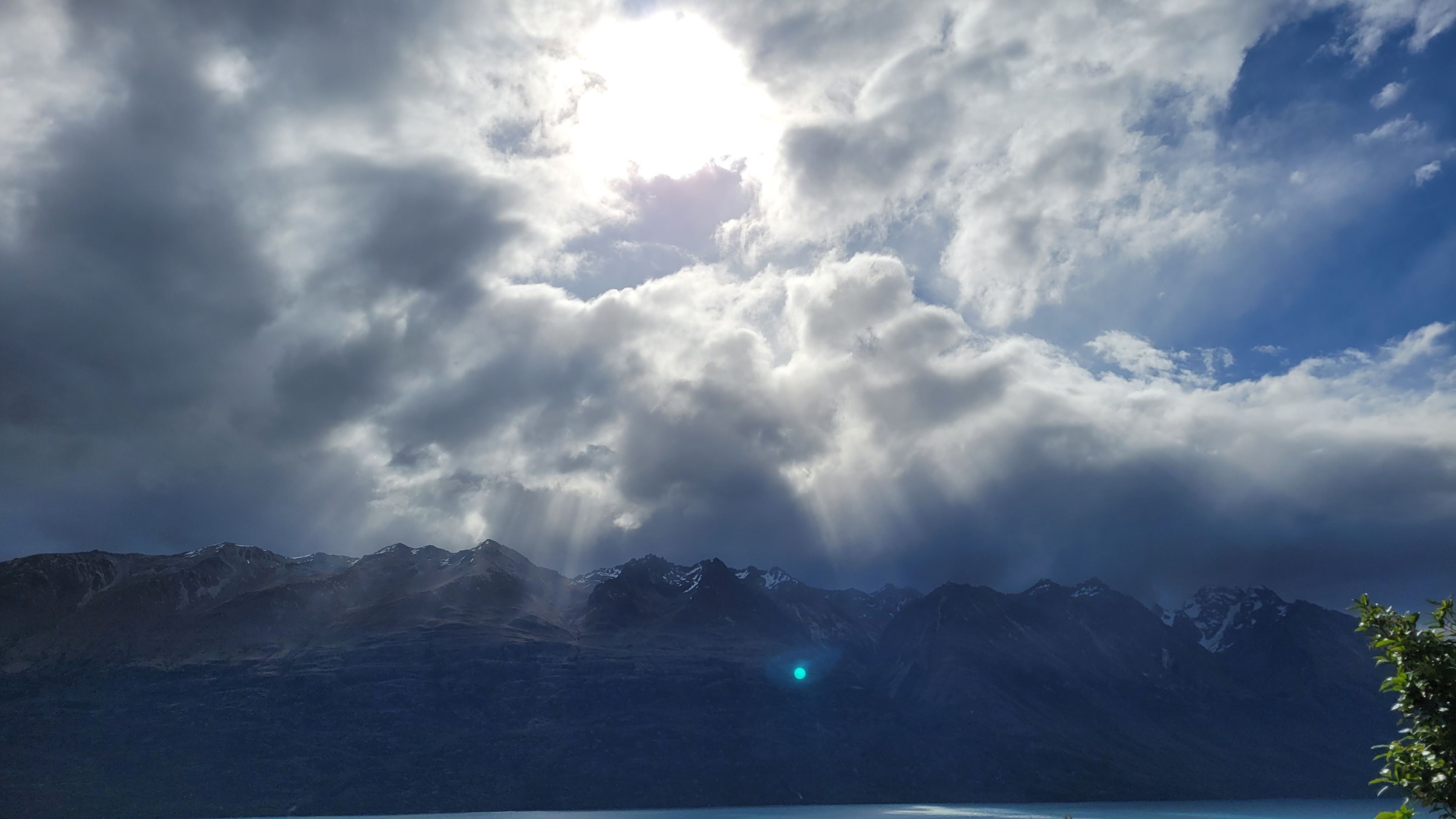
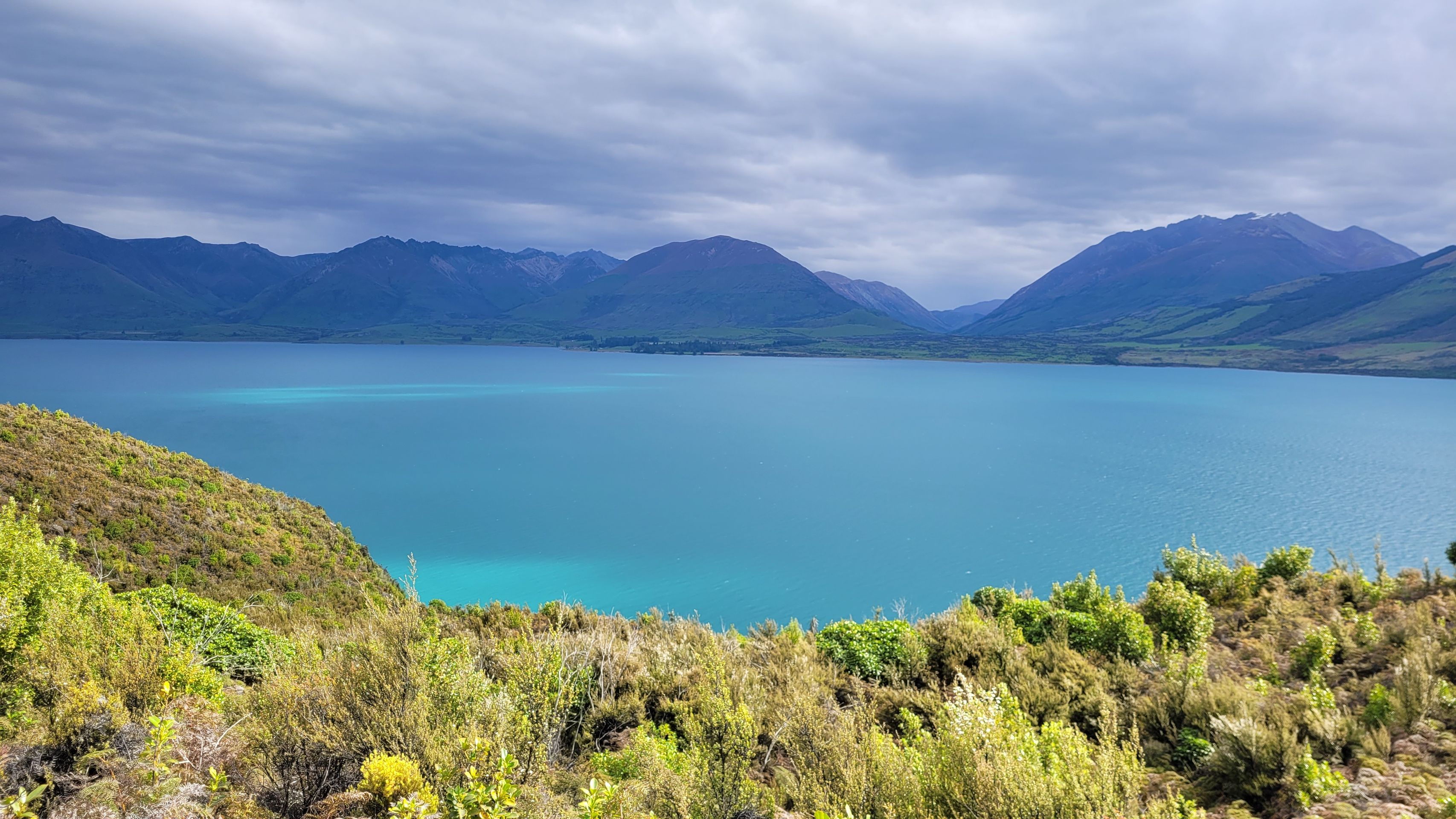
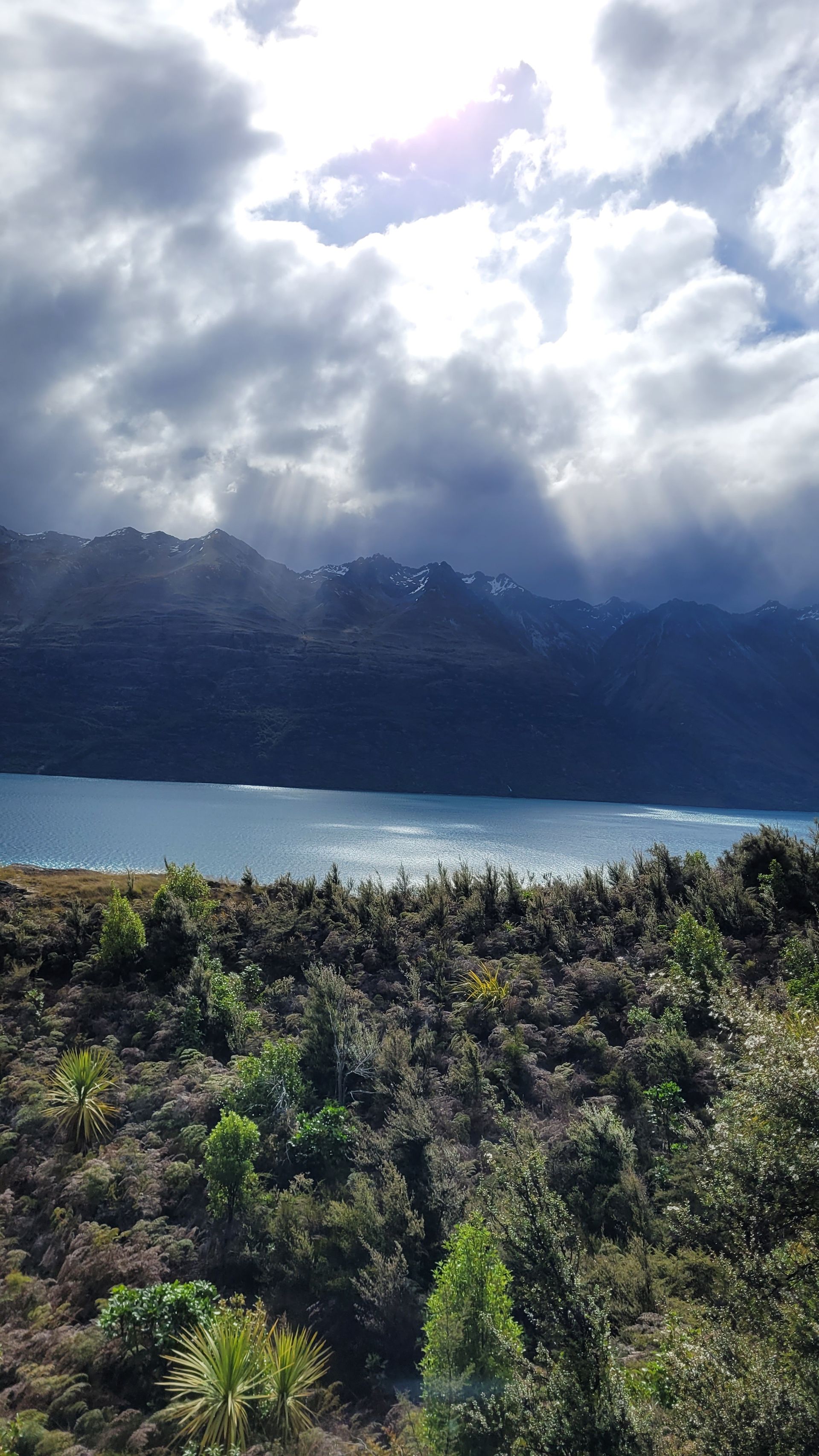
On the way home, we make some small stops at lookouts at Lake Wakatipu. However, the weather no longer cooperates, so no more beautiful panoramic pictures. The sun is just missing ...