Island Round-Southern Norway June 7-23, 2026
After a smooth flight, we land in Oslo at noon. We pick up our rental car at the airport terminal and head to Ruth, Kurt's godchild. After enjoying some delicious waffles with...

Published: 06.08.2026
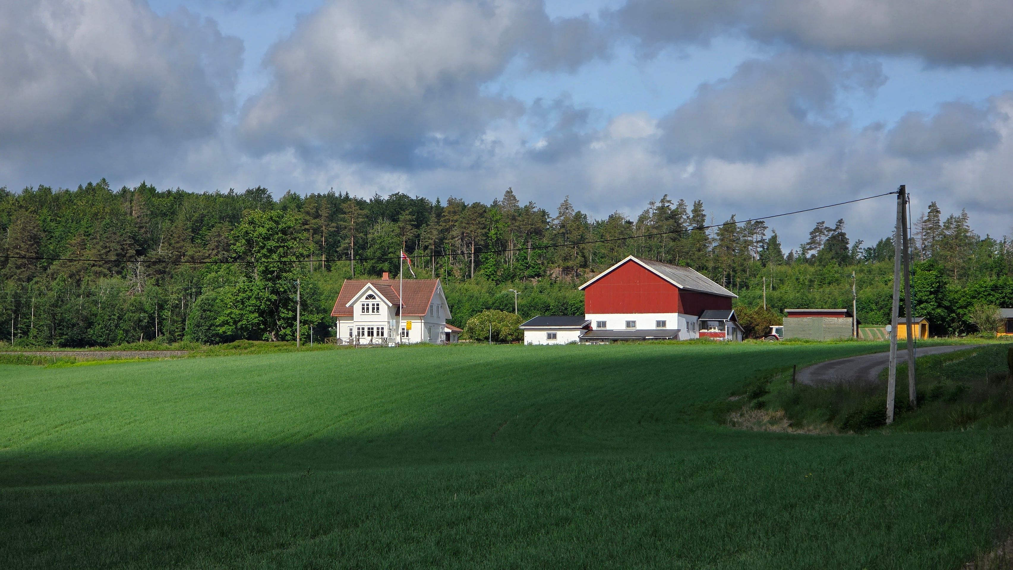
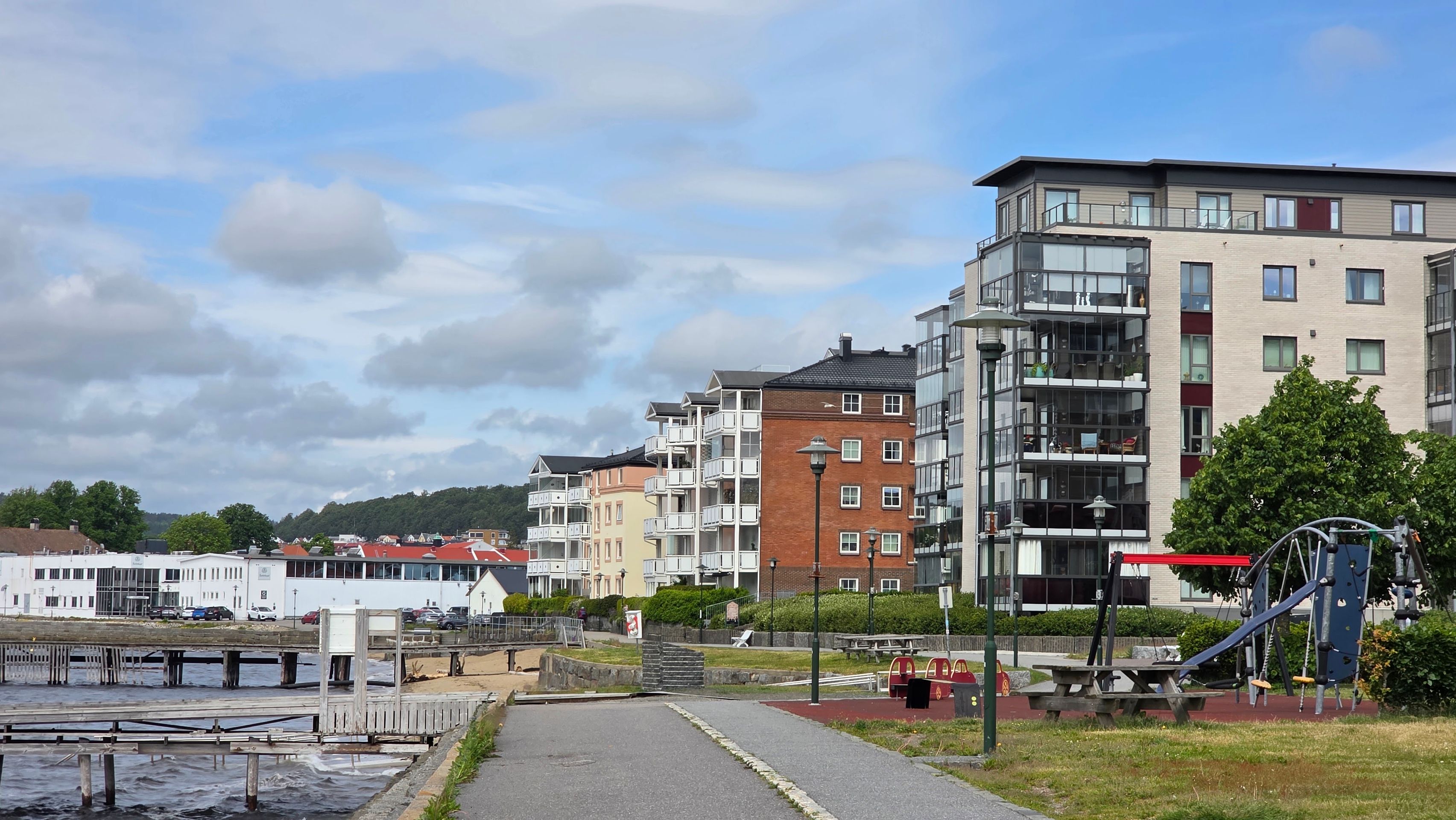
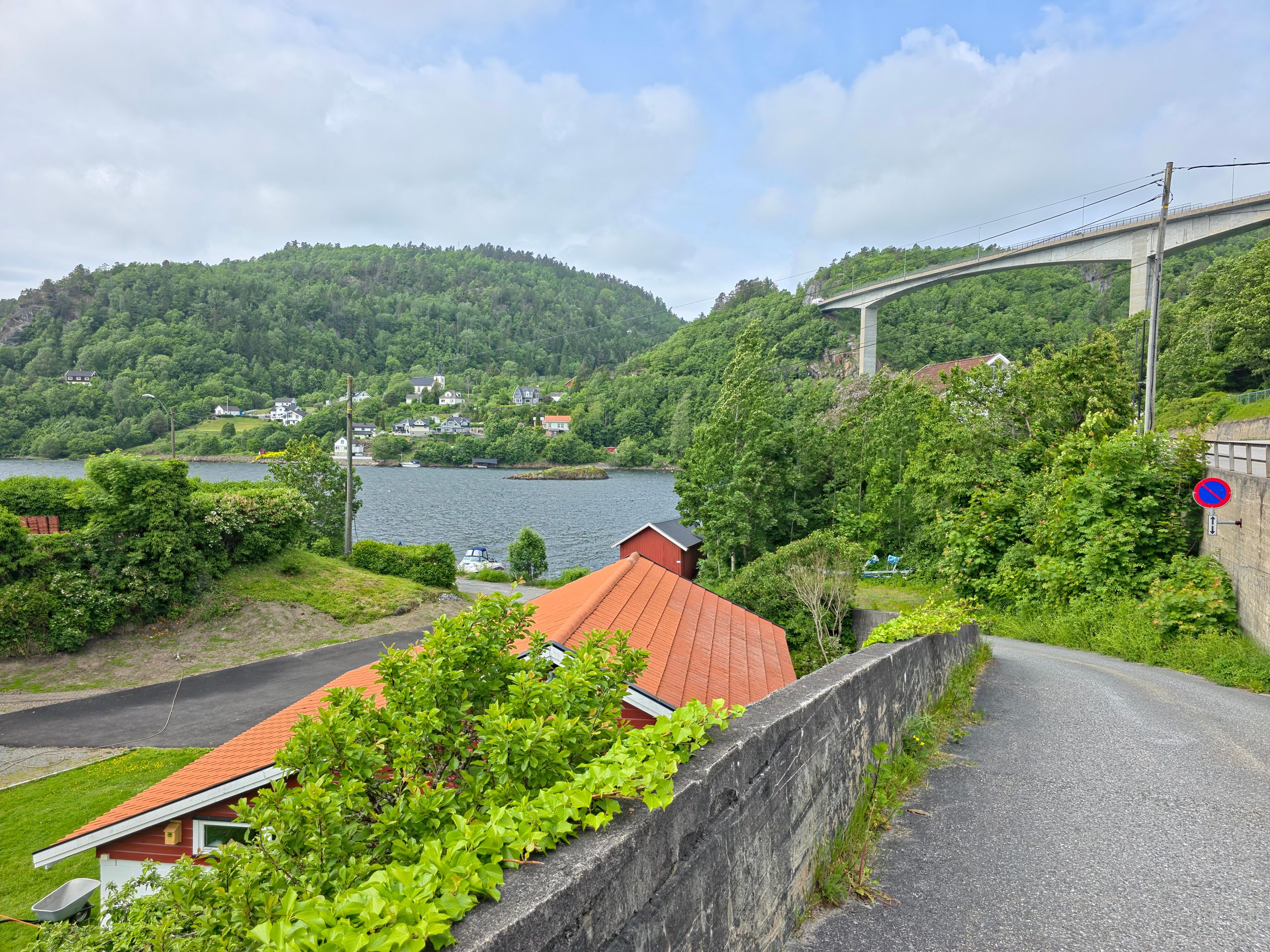
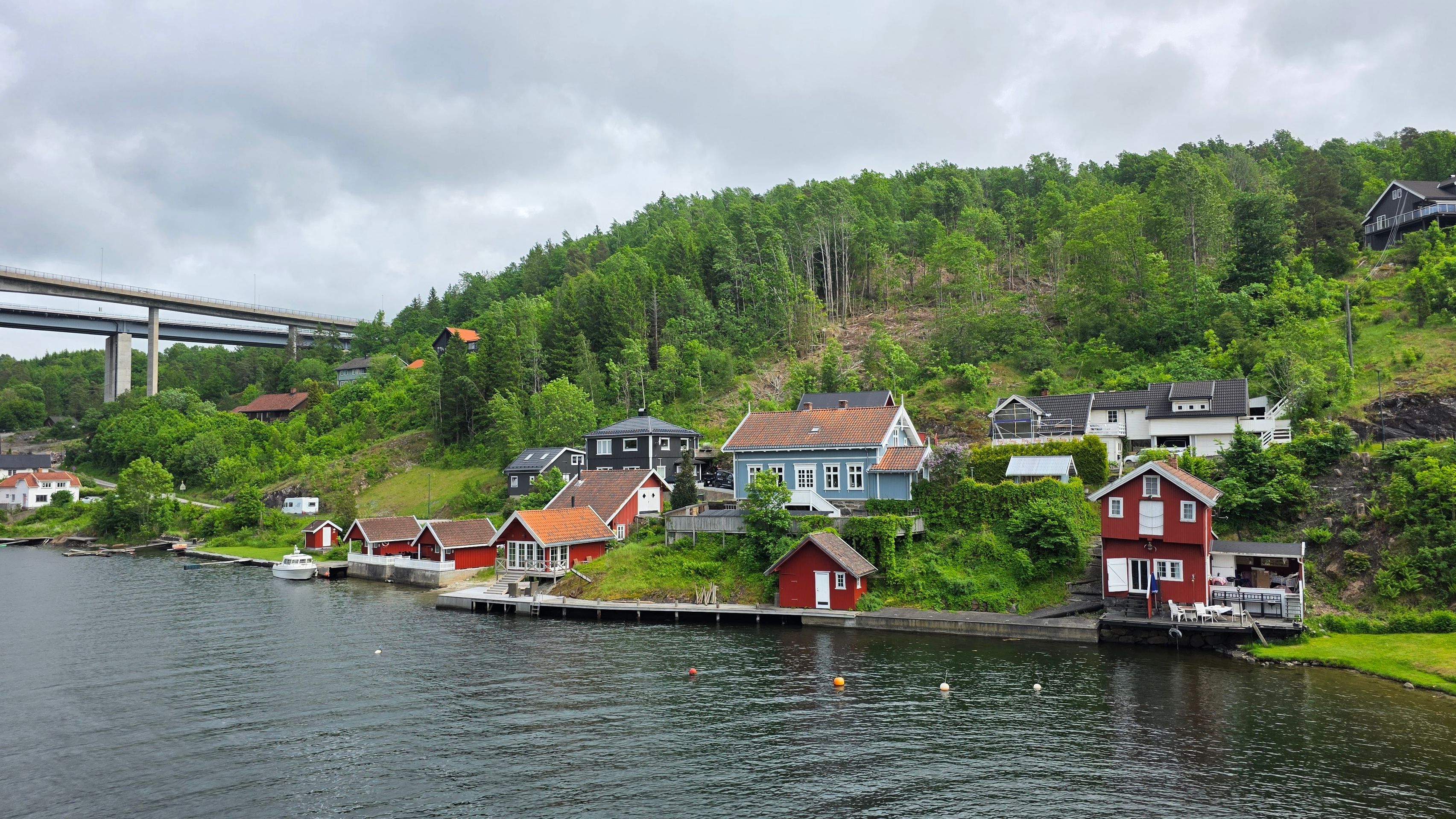
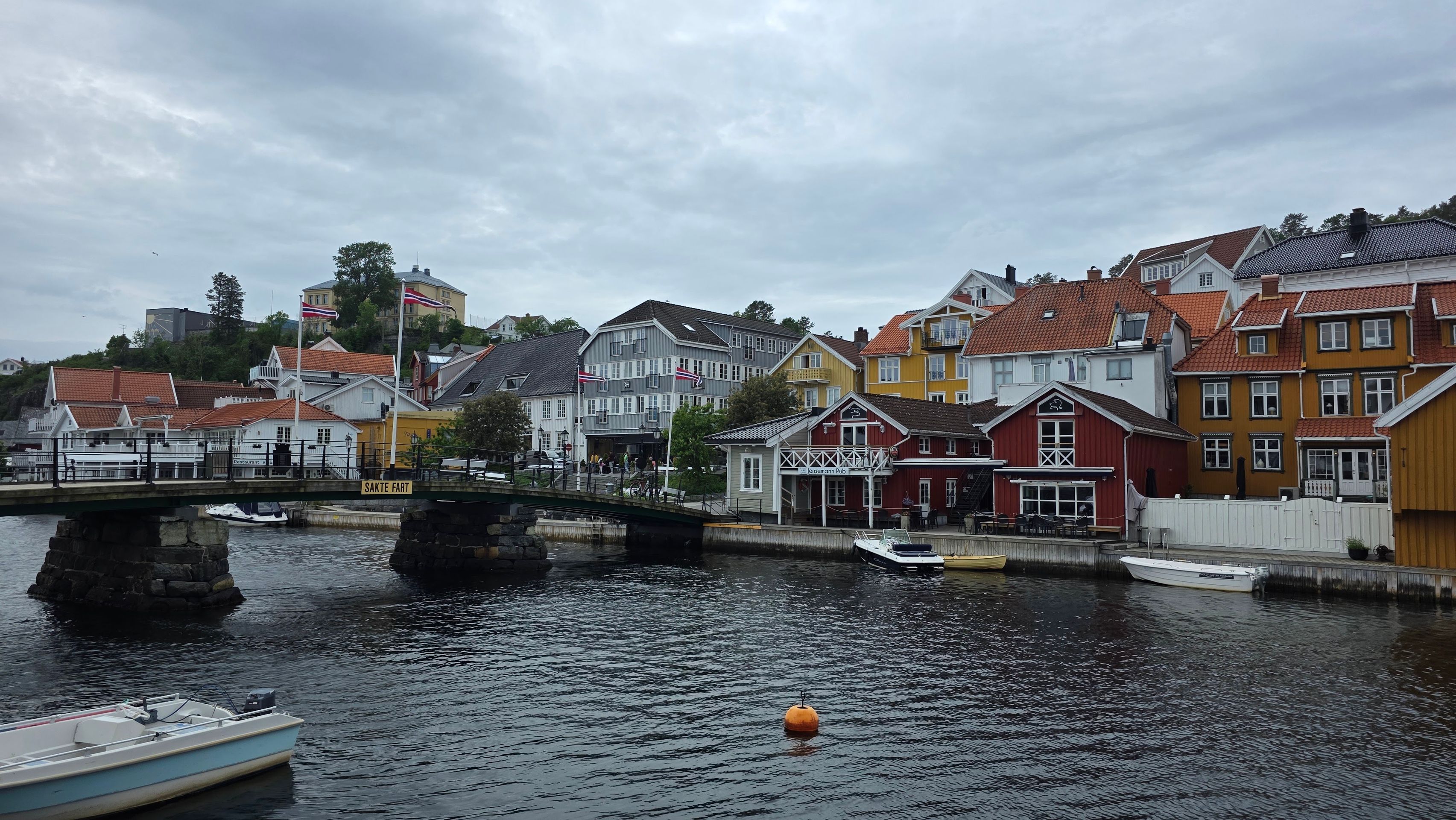
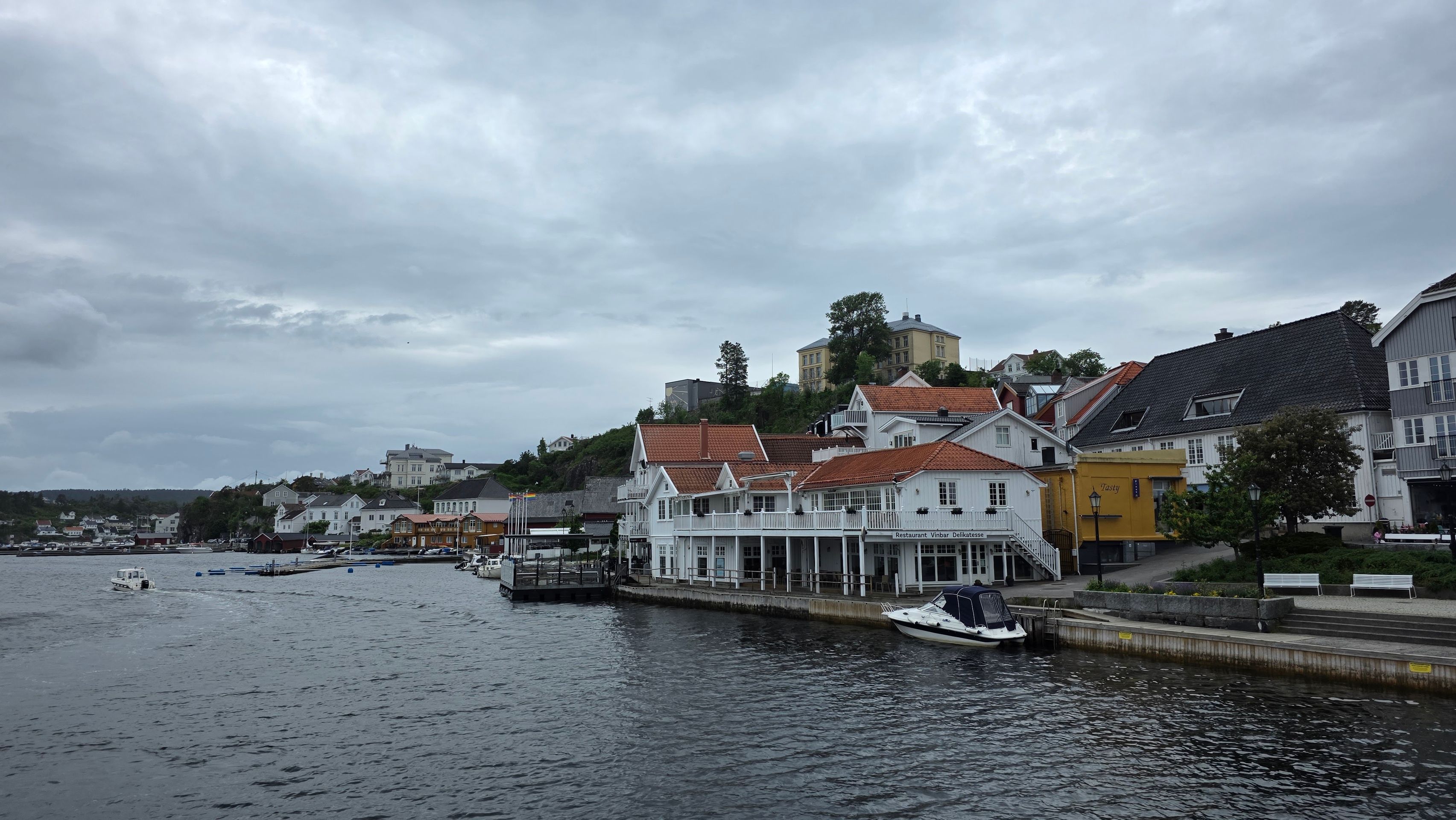
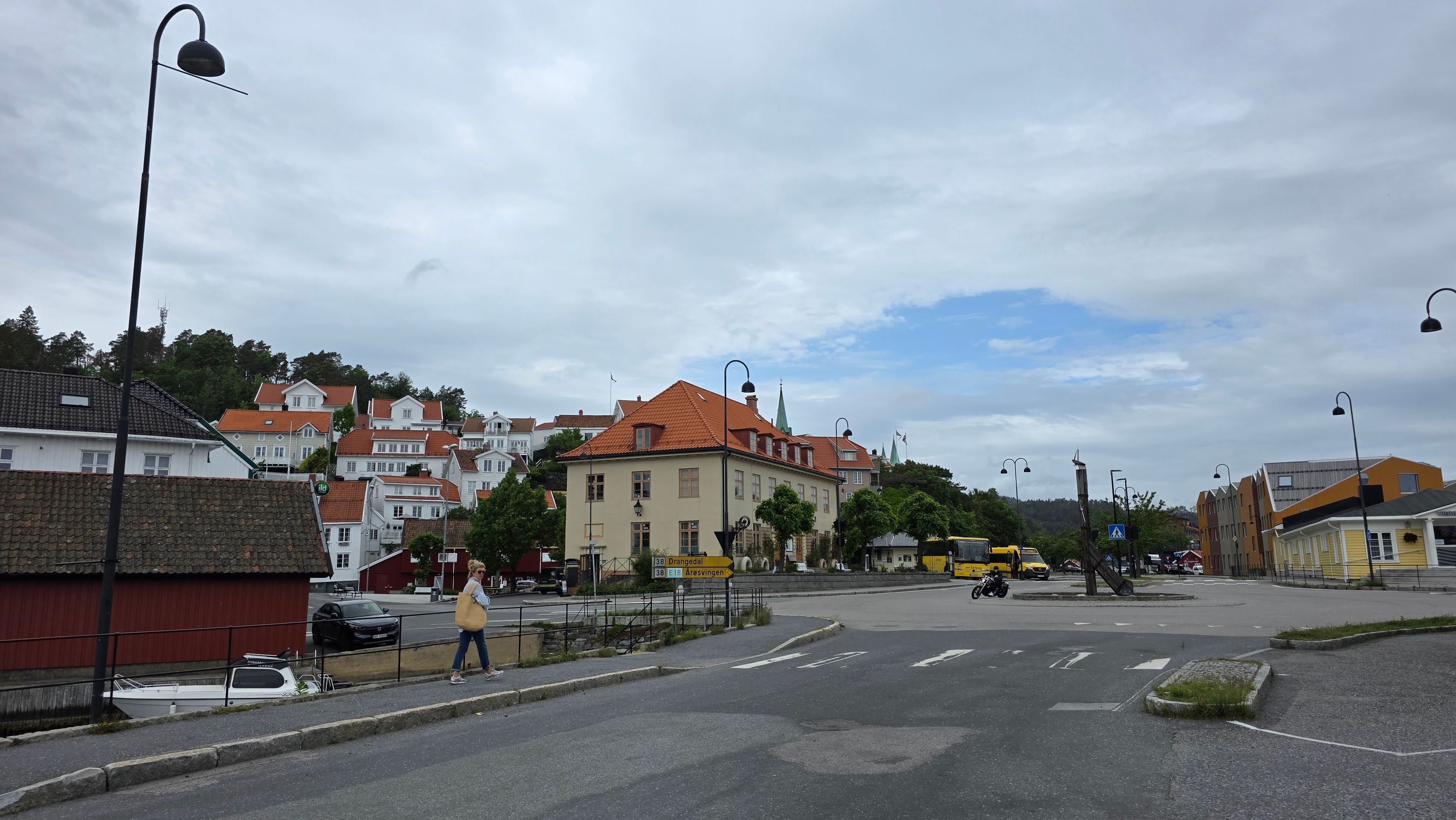
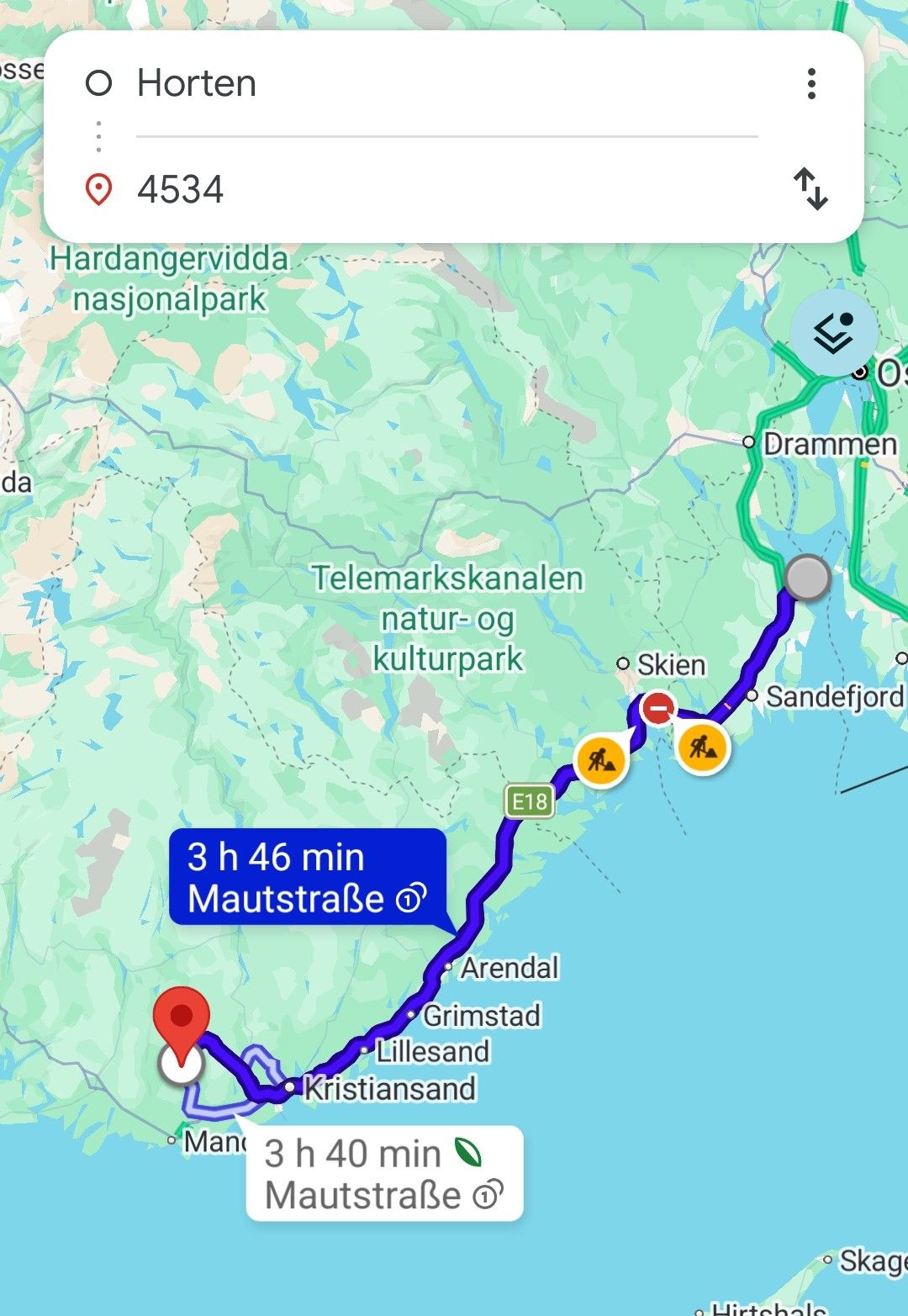
Today we drive along the coast to our next overnight stay in Mardardal. In Larvik, we make our first stop at the beautiful harbor, then continue along the scenic coastal landscape over Langangen to Kragerø. Kragerø is situated in the typical hilly coastal landscape of southern Norway. The Storkollen is the highest elevation in the city area at 153.8 m. The Steinmann behind the old town reaches a height of 68 m. The highest point of the island Øya, located offshore to the south and whose name simply means island, is Veten at 51 m. At Øya, the Bærøy- and Kragerøfjords come together. To the northeast and northwest of the city lies the Karlstadkilen, which divides into the bays Ytre Kalstadkilen and Indre Kalstadkilen.
The city of Kragerø is mostly located on a peninsula in the archipelago. The Holm Gunnarsholmen, like Øya, belongs to the city area. The center of Kragerø is located on the southeast coast of the peninsula. To the north lies the district of Lona, to the southwest Bjønebyen and far west Karlstad,
South of the district of Lona is the wetland Holmmyra with the lake Kalstadtjenna. It is part of the 12.5 ha large animal and plant conservation area Frydensborg. On the southern slopes of Storkollen lies a 4.7 ha nature reserve, established in June 2006. It mainly consists of coniferous and mixed forest. Soon we will leave the coast and head a bit inland to our accommodation for the next two nights.