
January 29 - February 27, 2025, New Zealand February 14
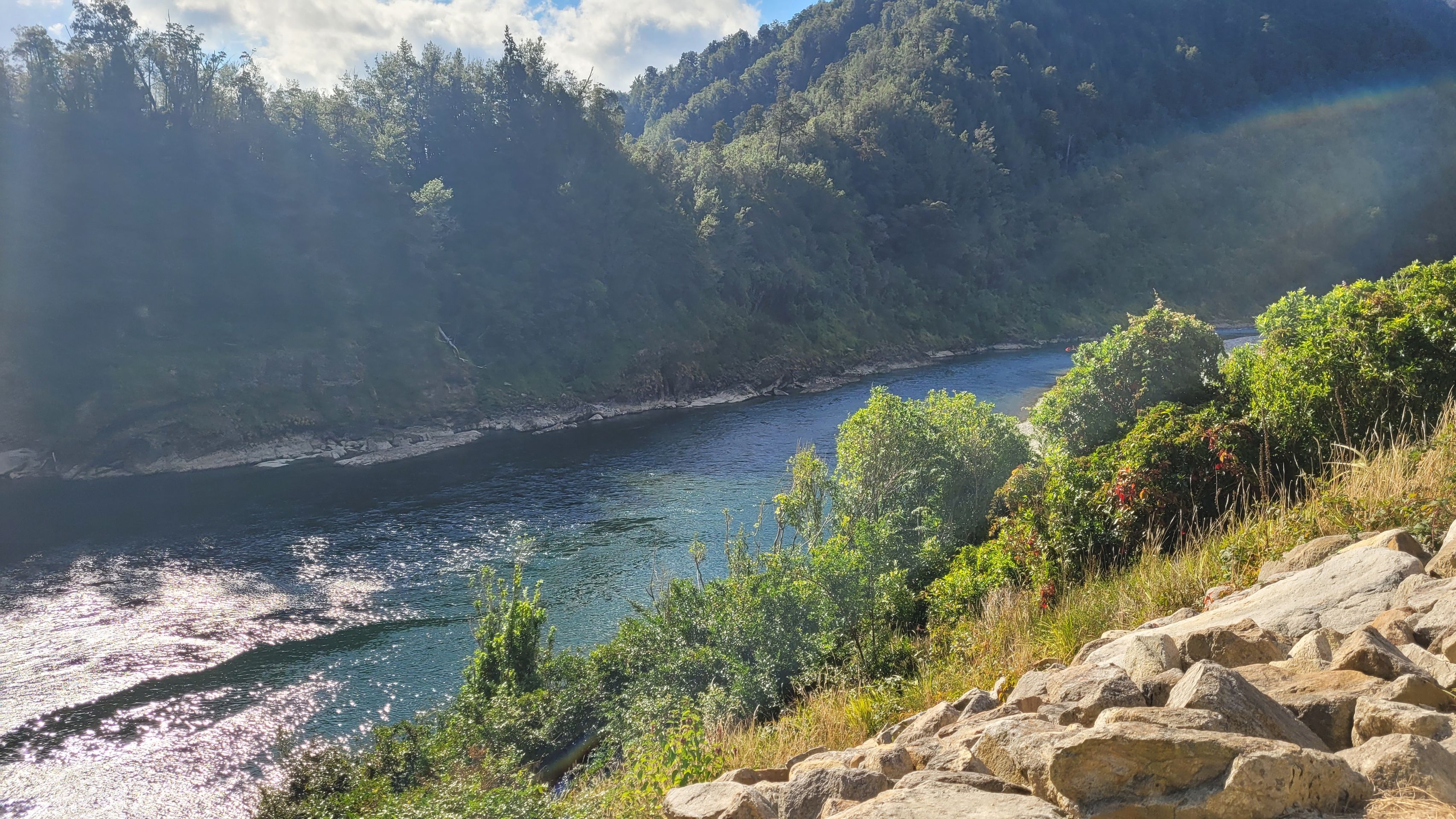
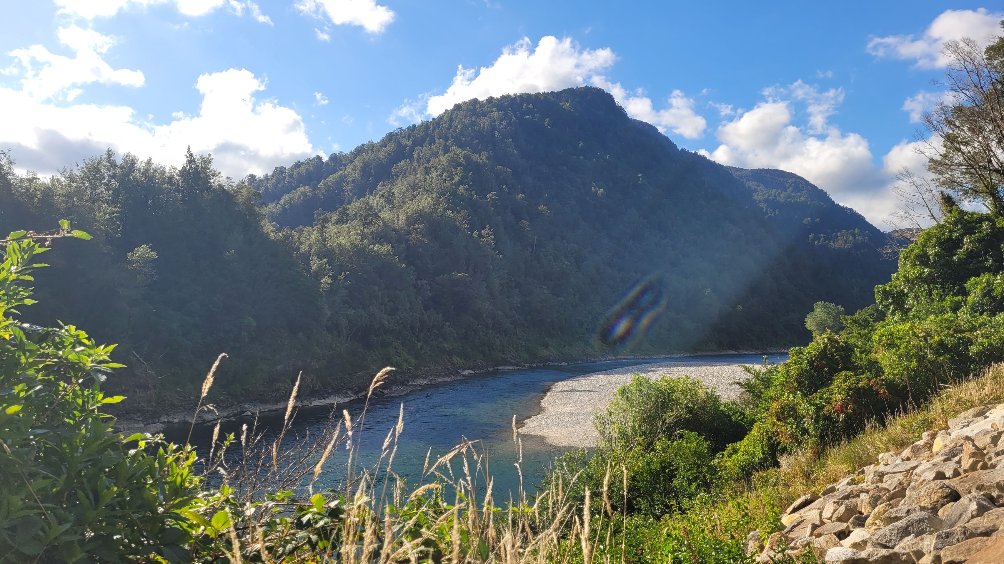
Today, we travel through Whataroa, Ross, along Lake Mapourika to Hokitika Beach and Hokitika Gorge, heading to Arahura Valley. The enchanting Hokitika Gorge with its radiant...

Published: 30.06.2025
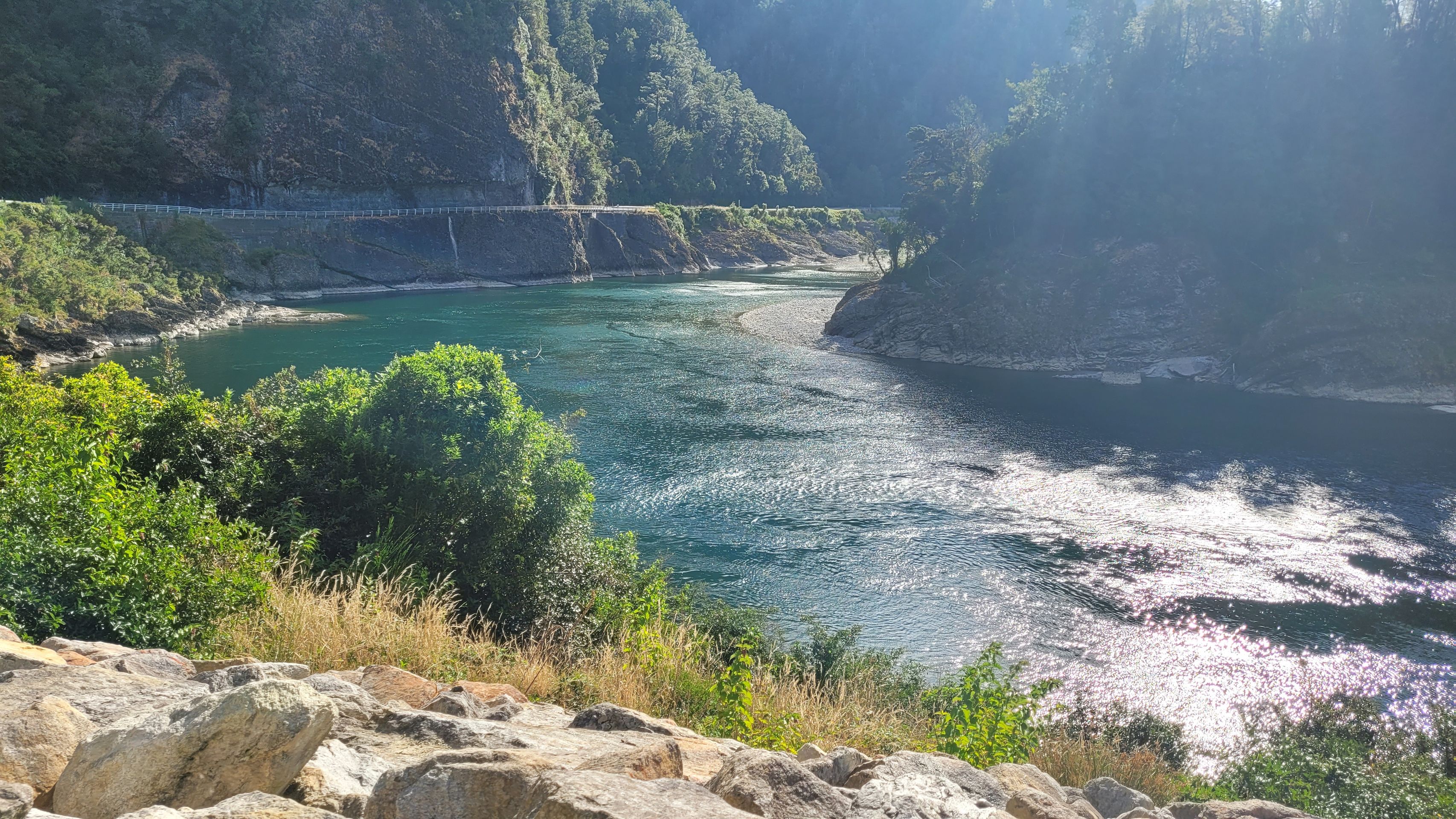
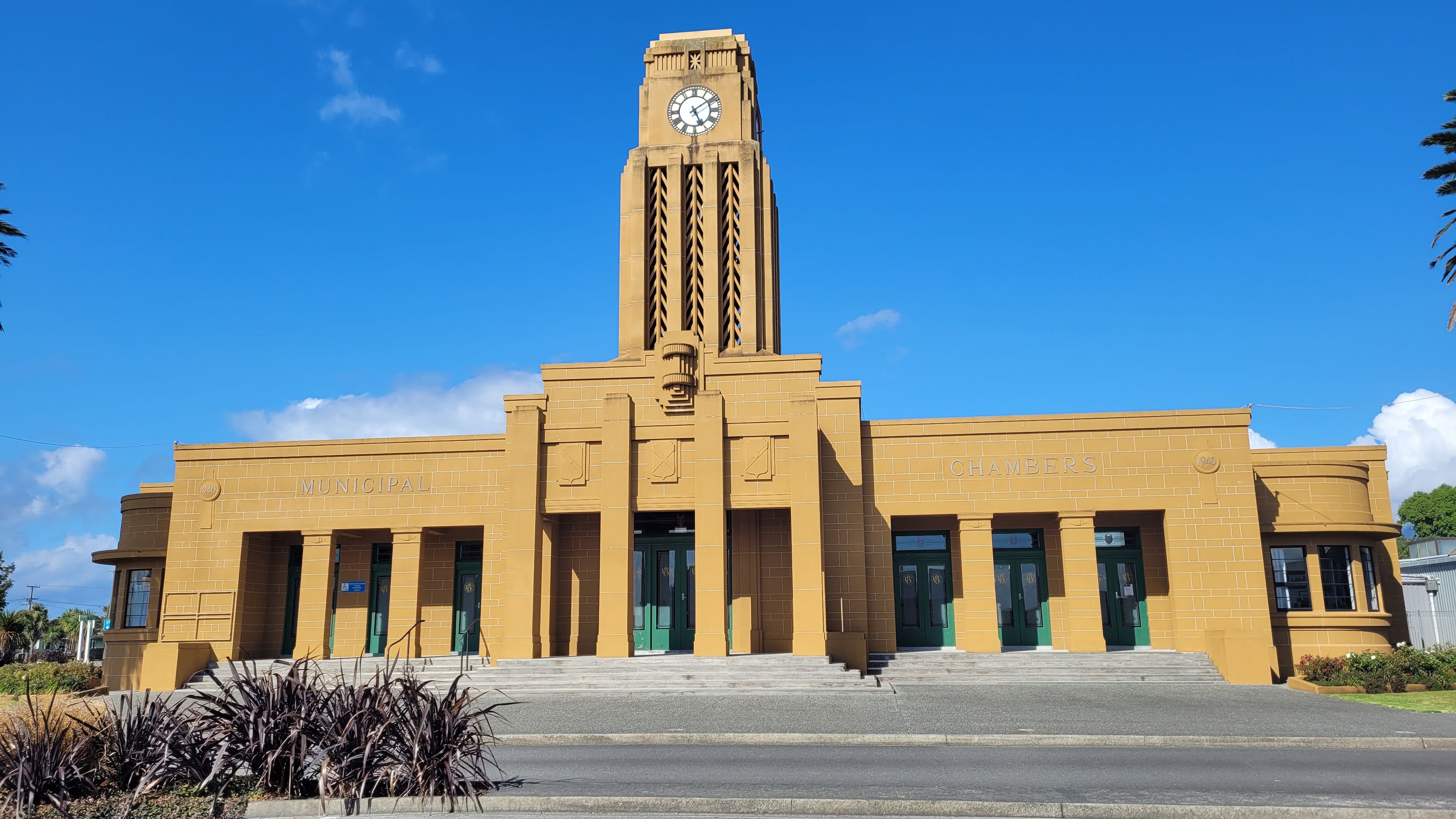
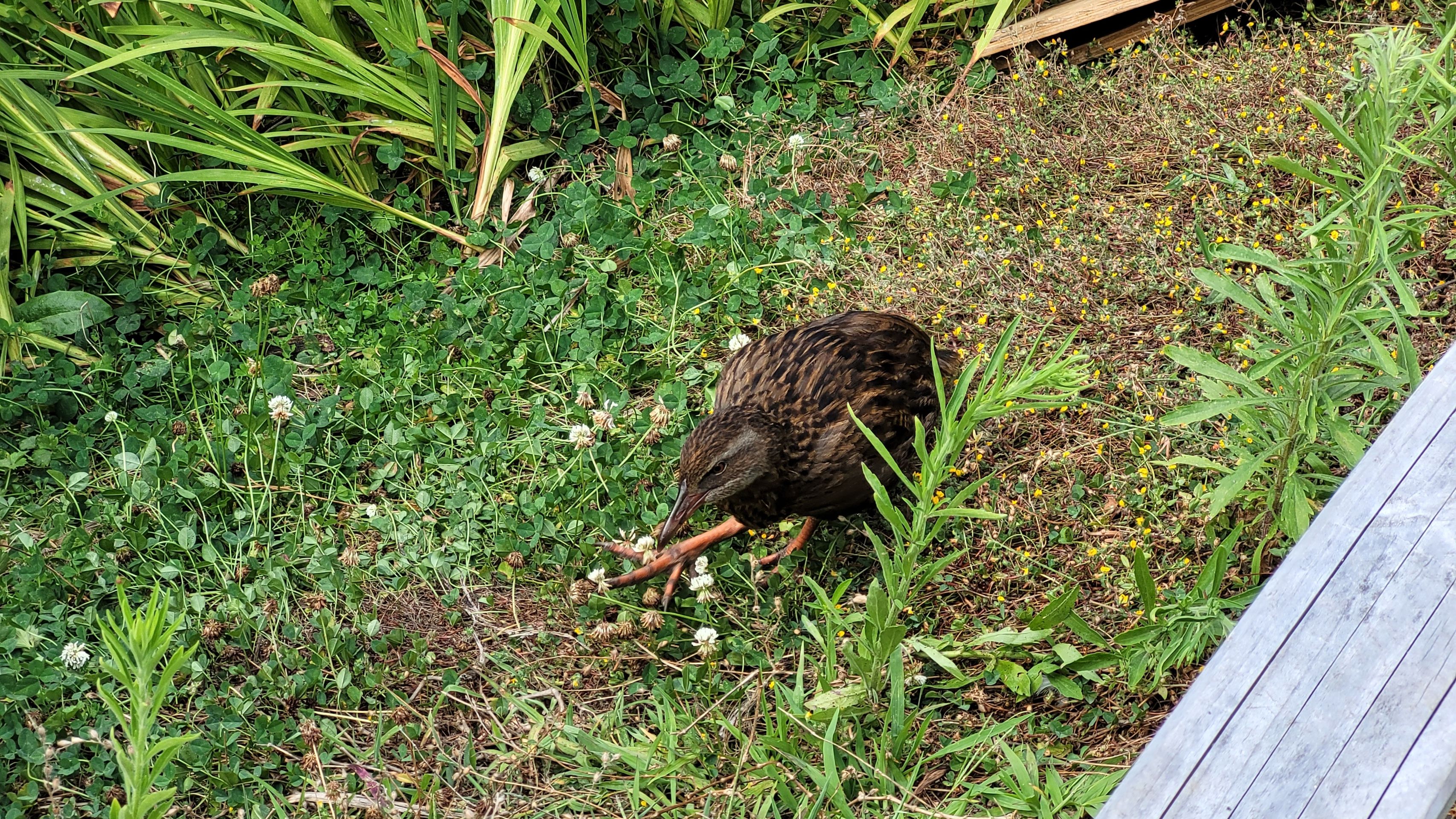
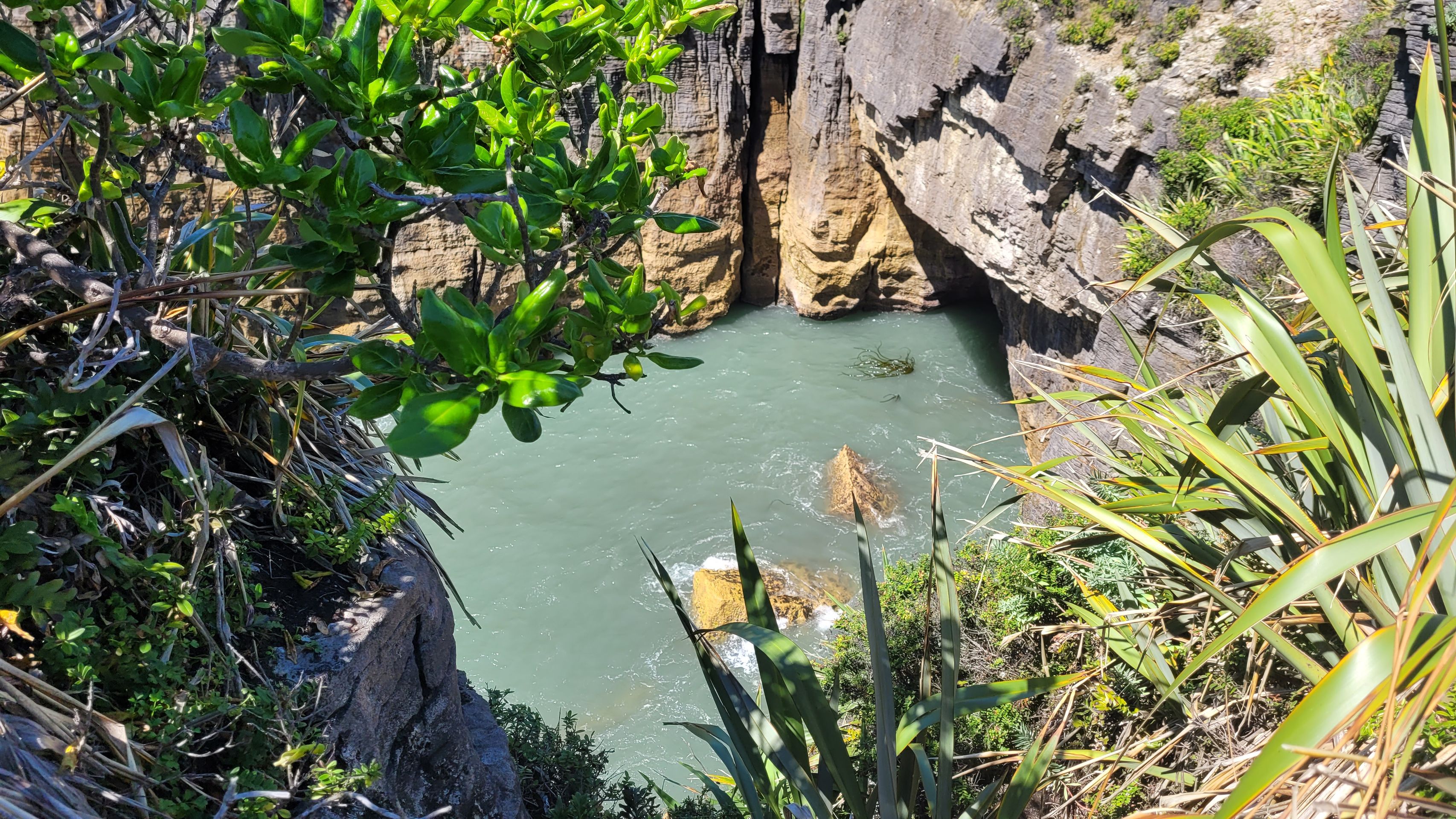
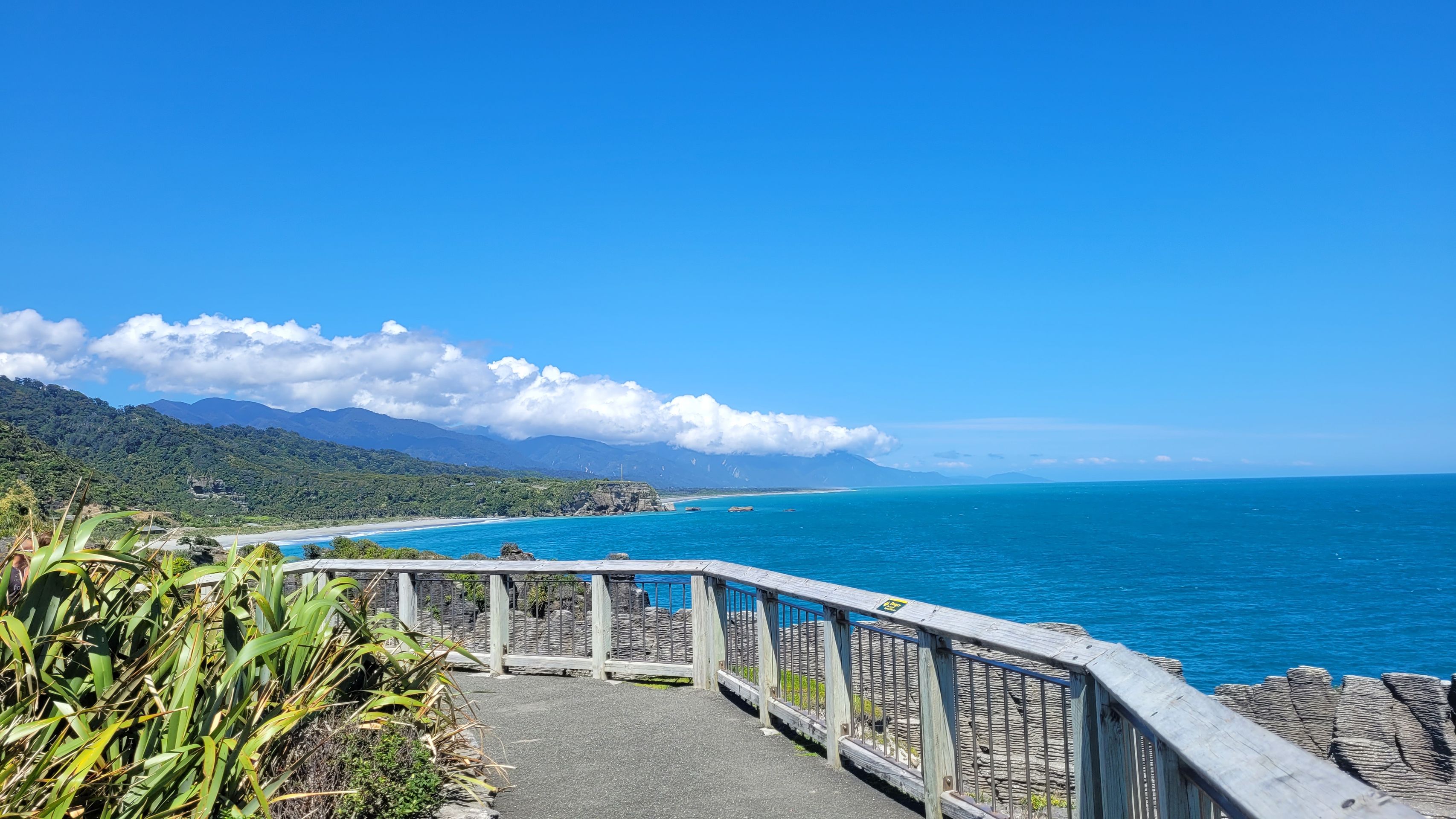
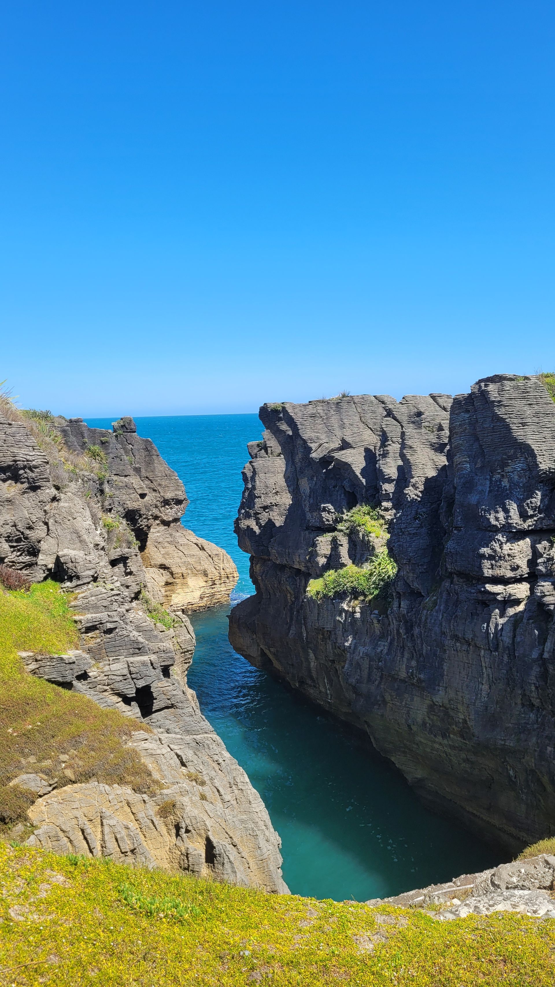
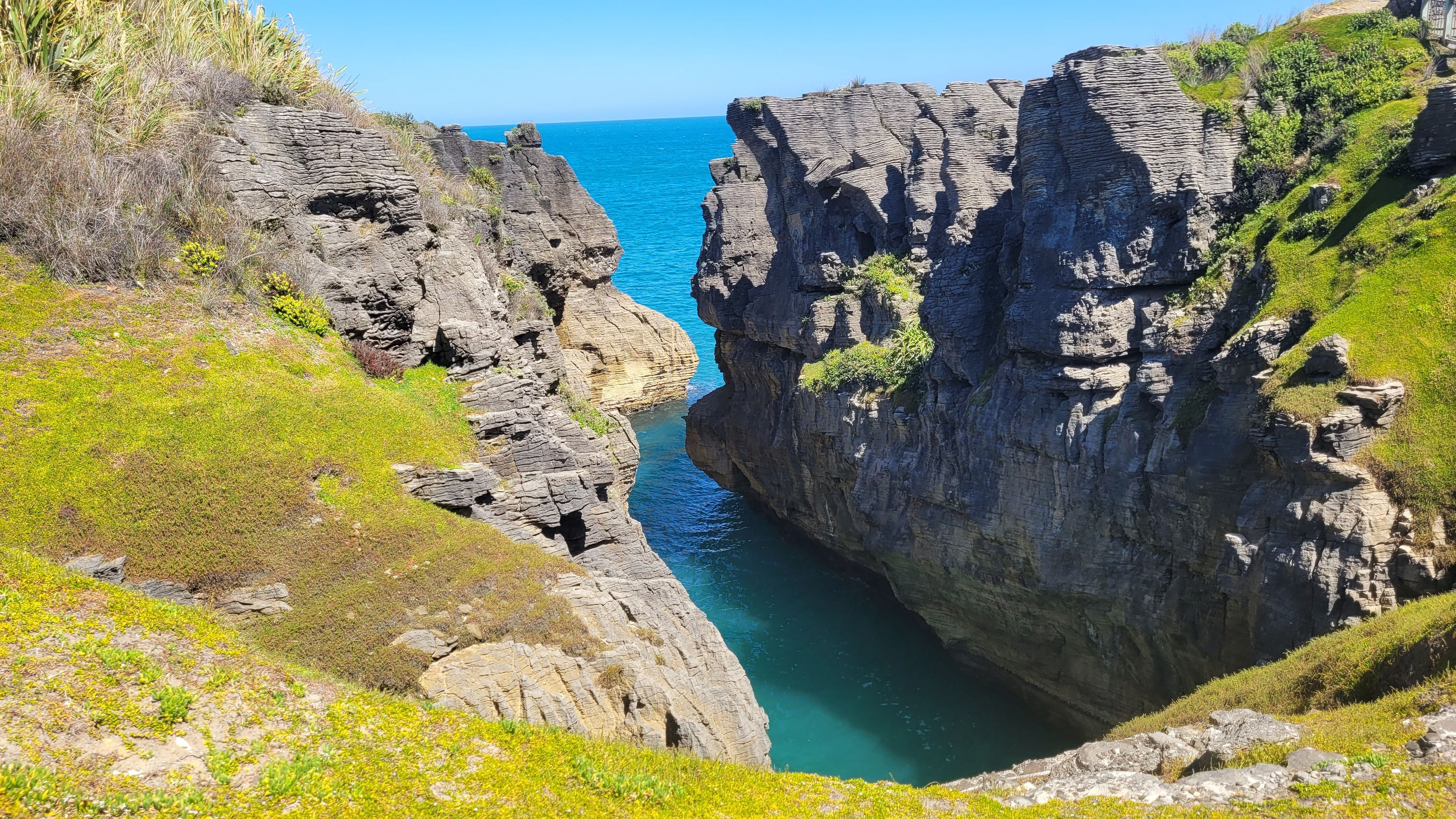
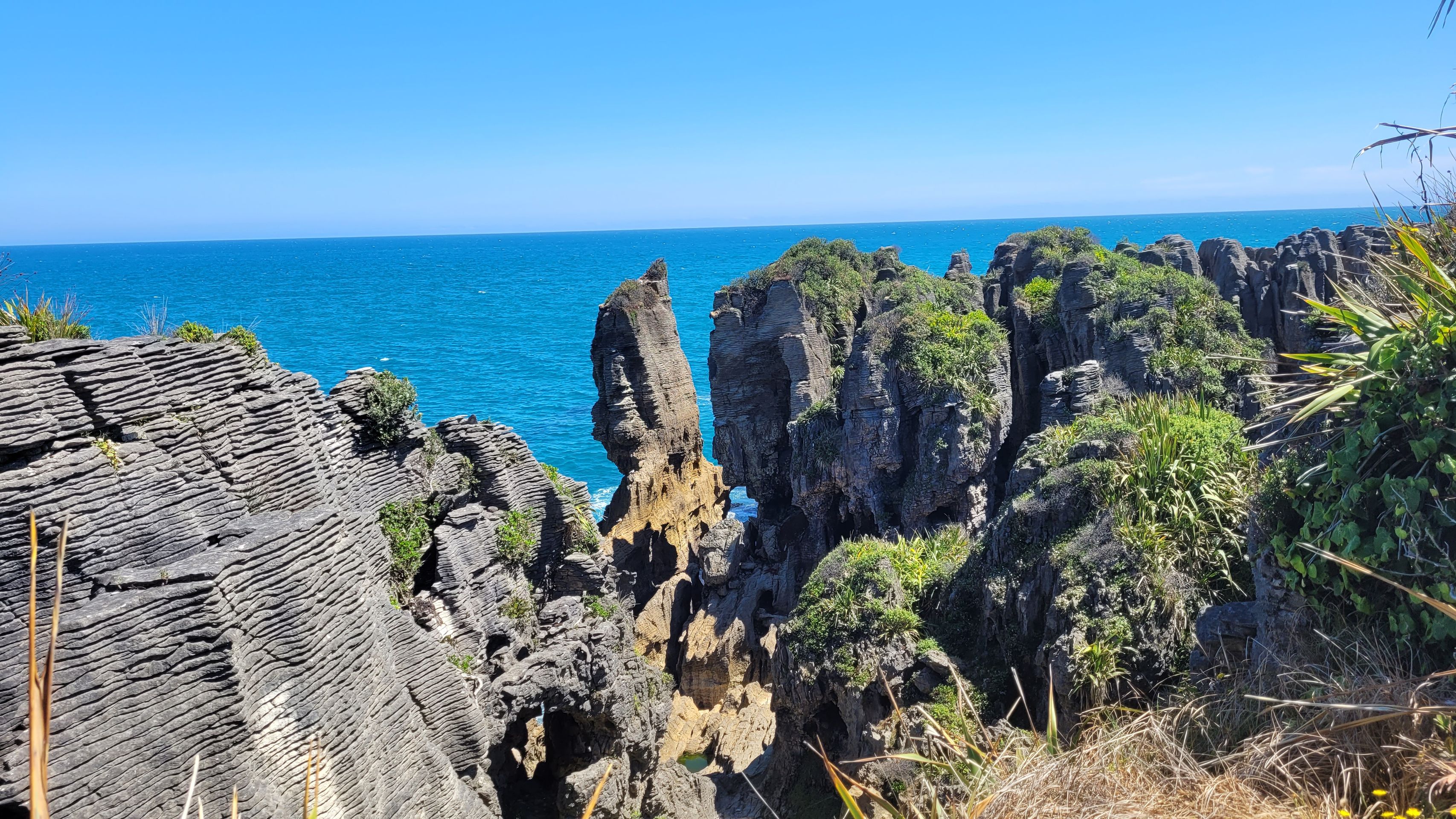
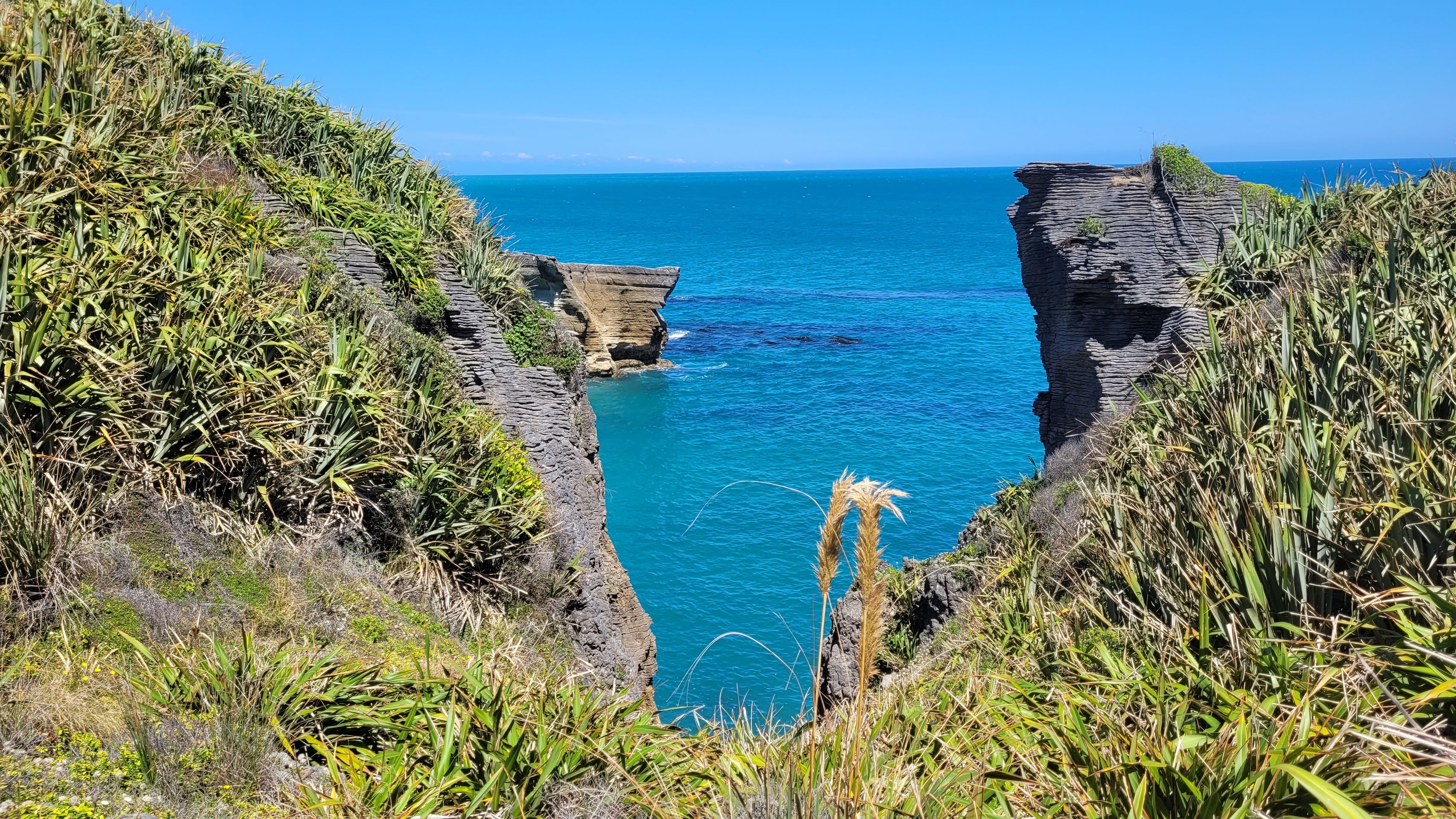
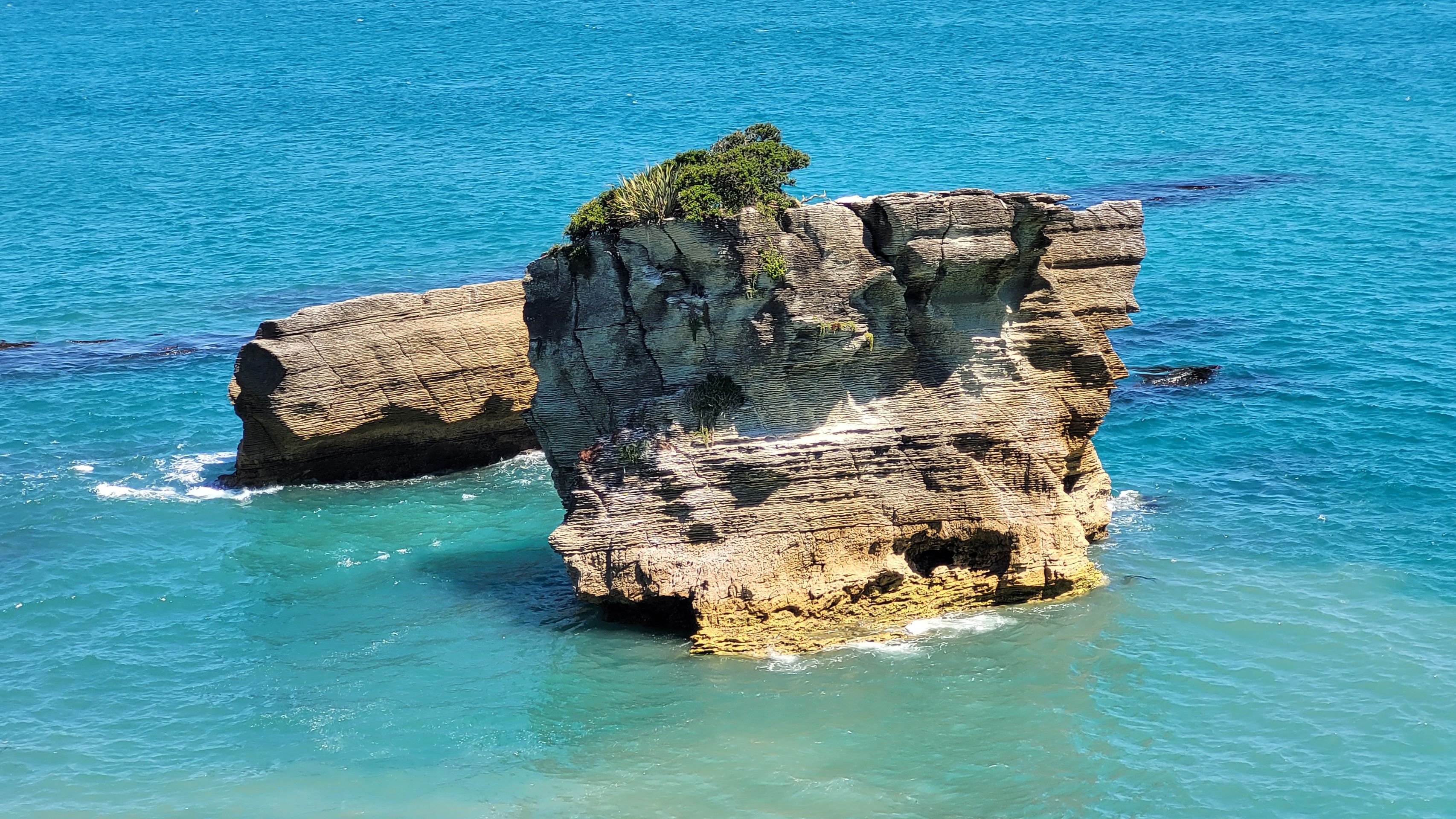
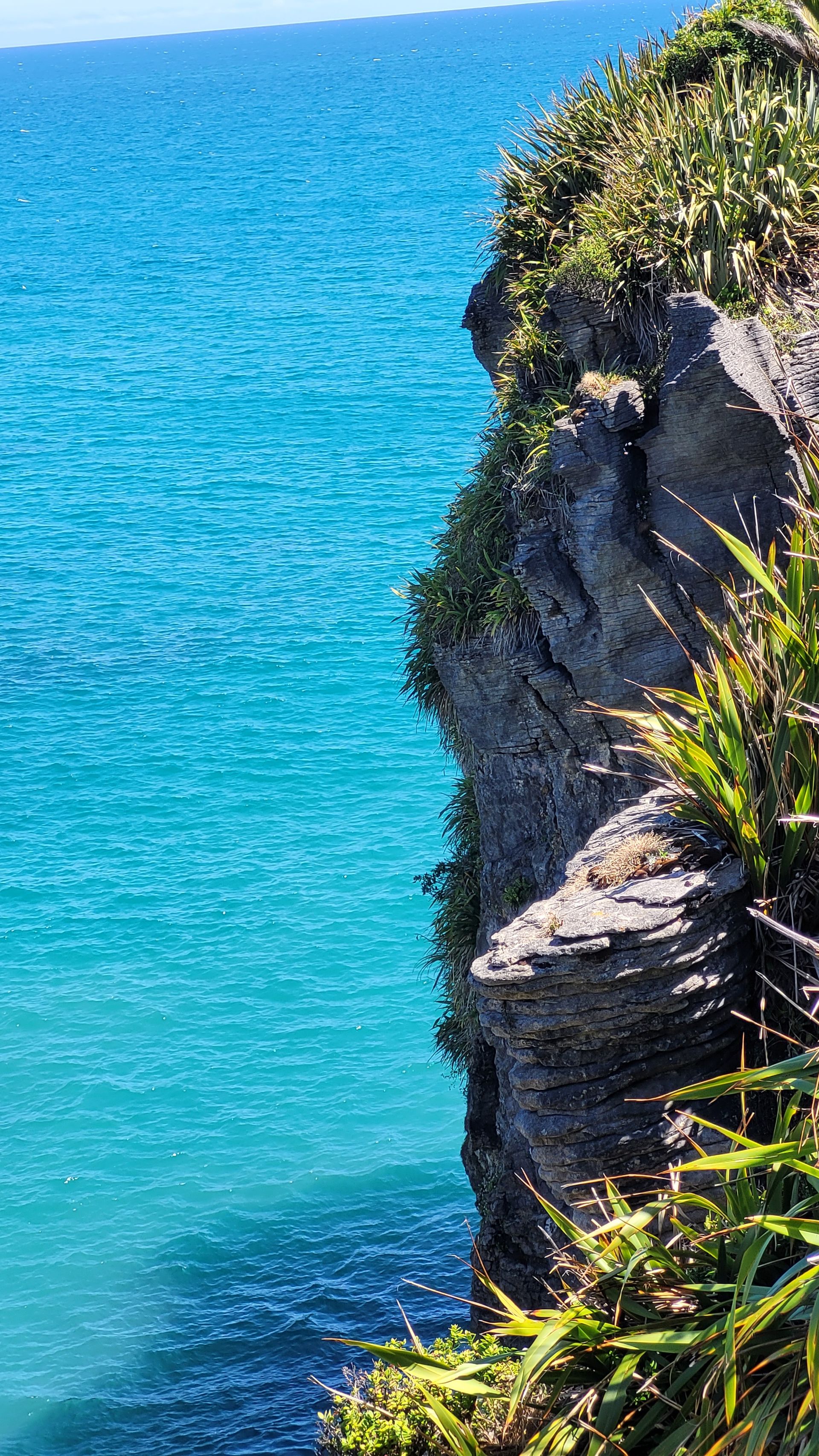
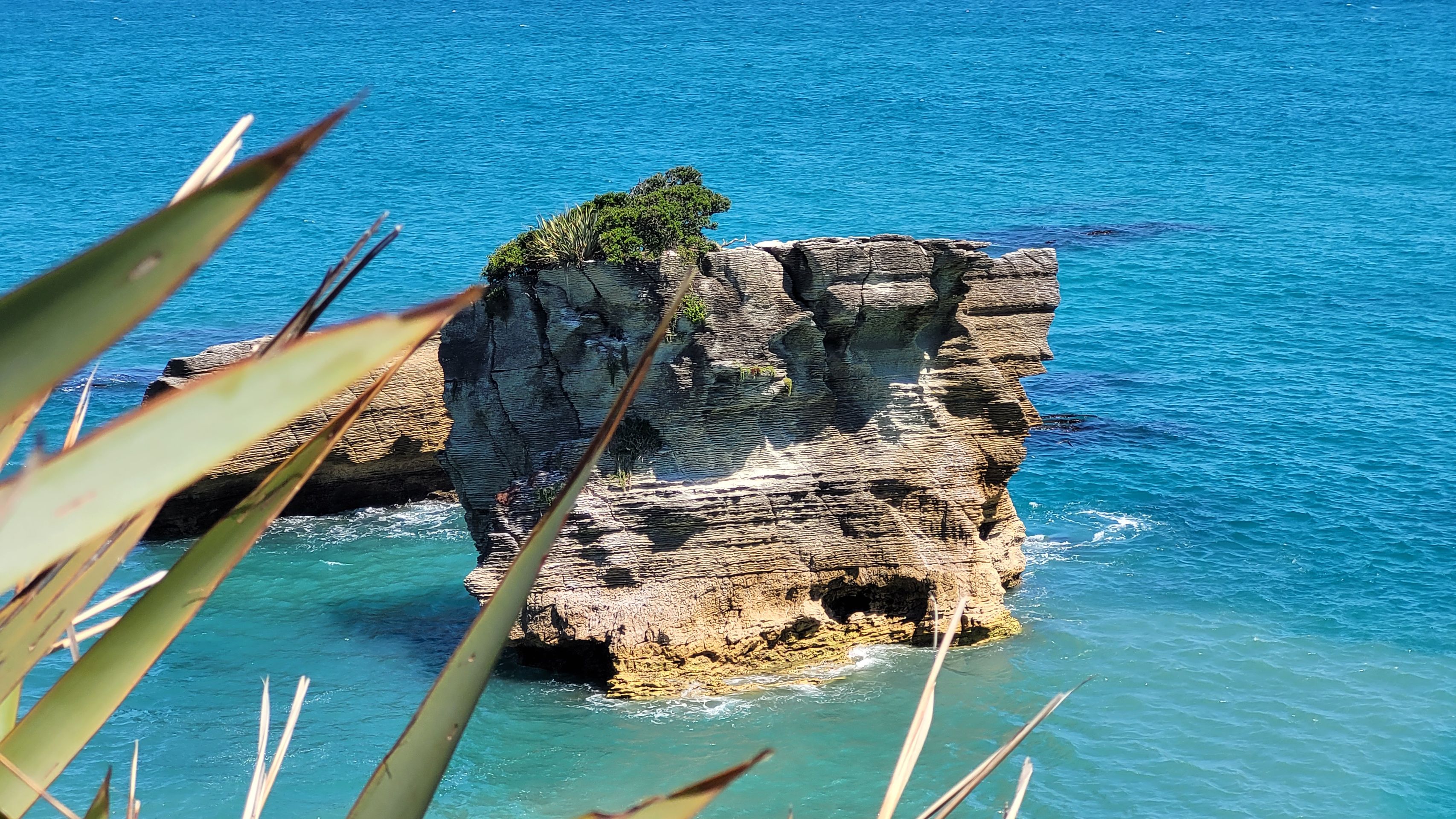
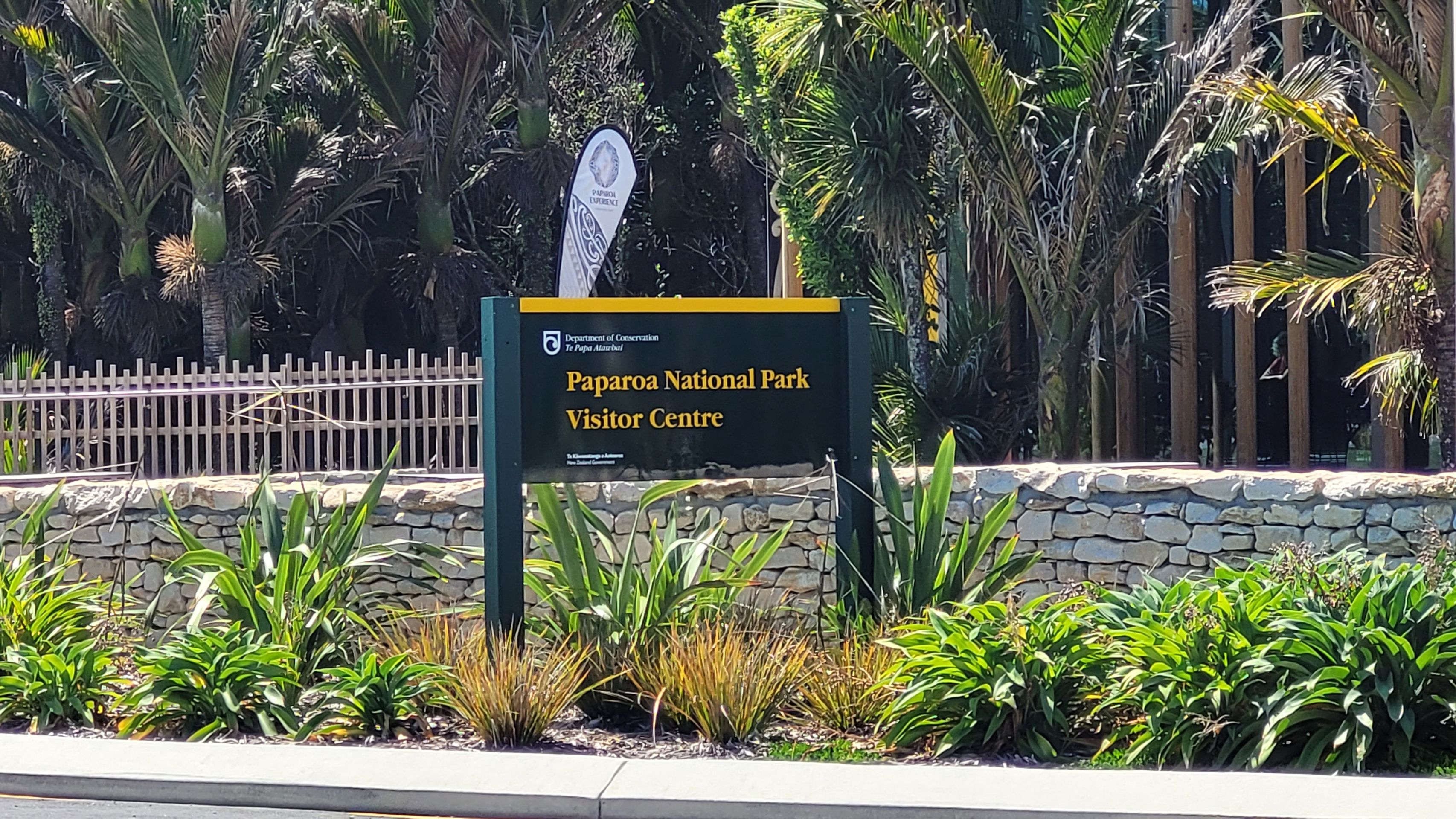
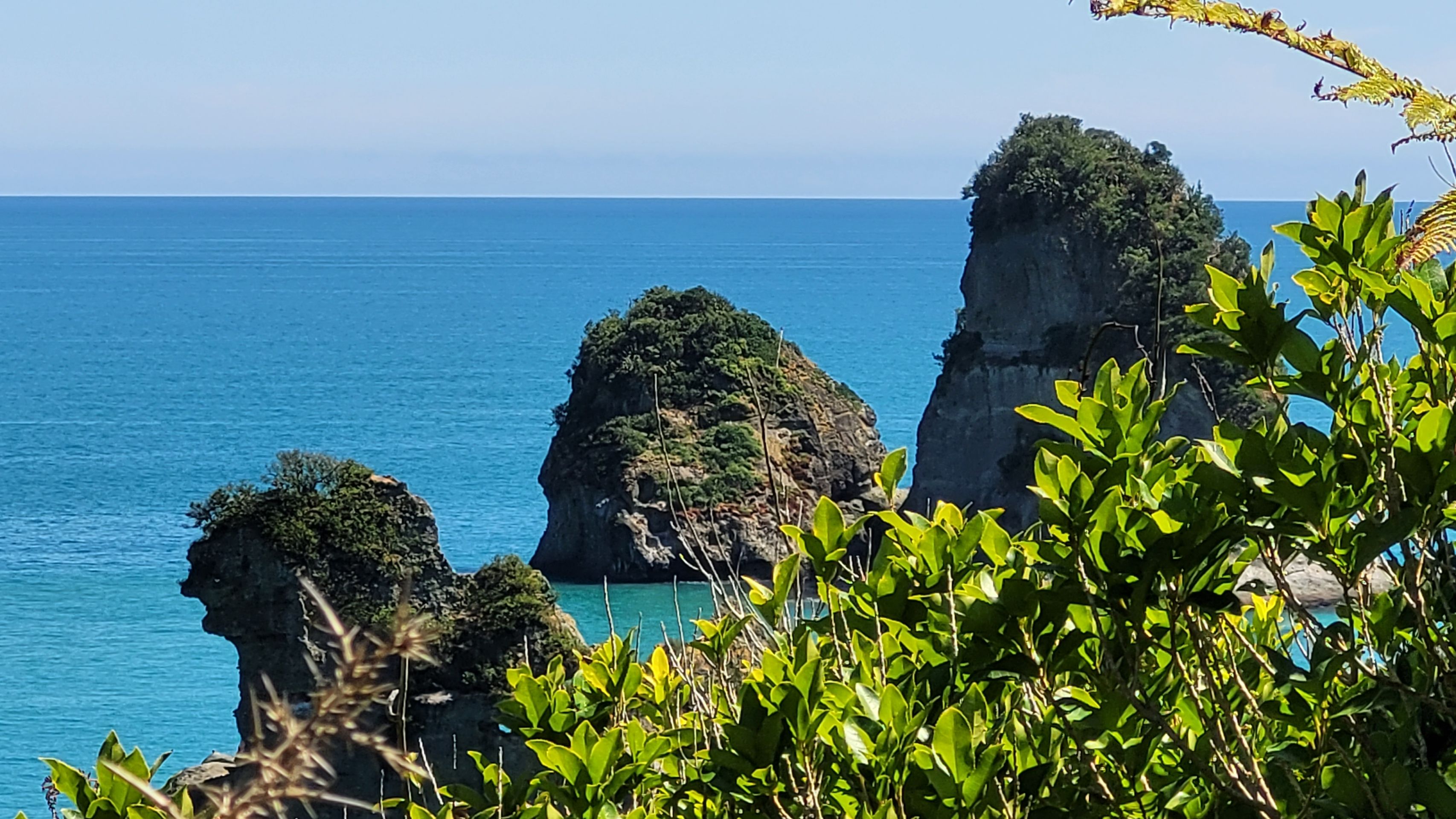
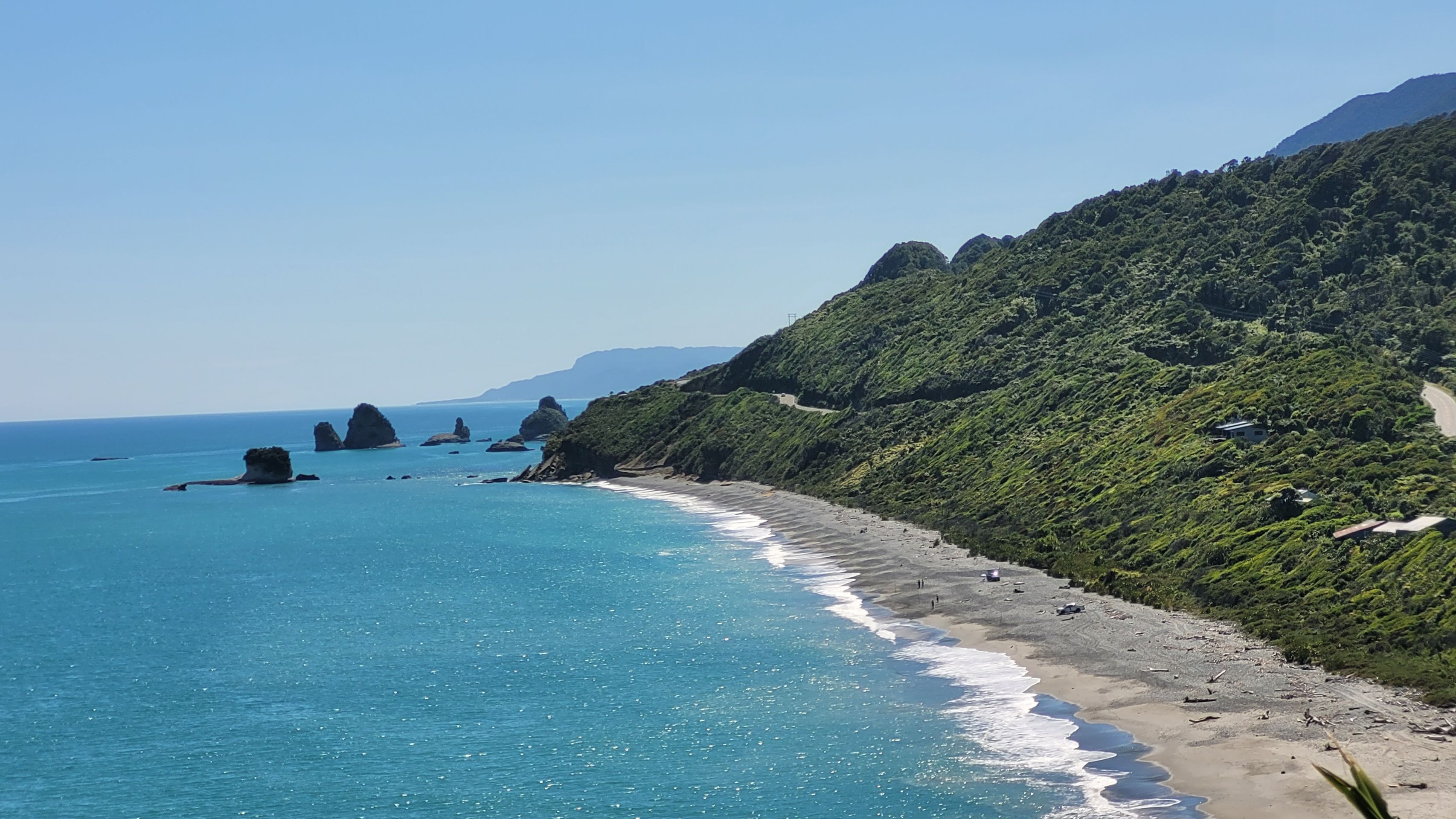
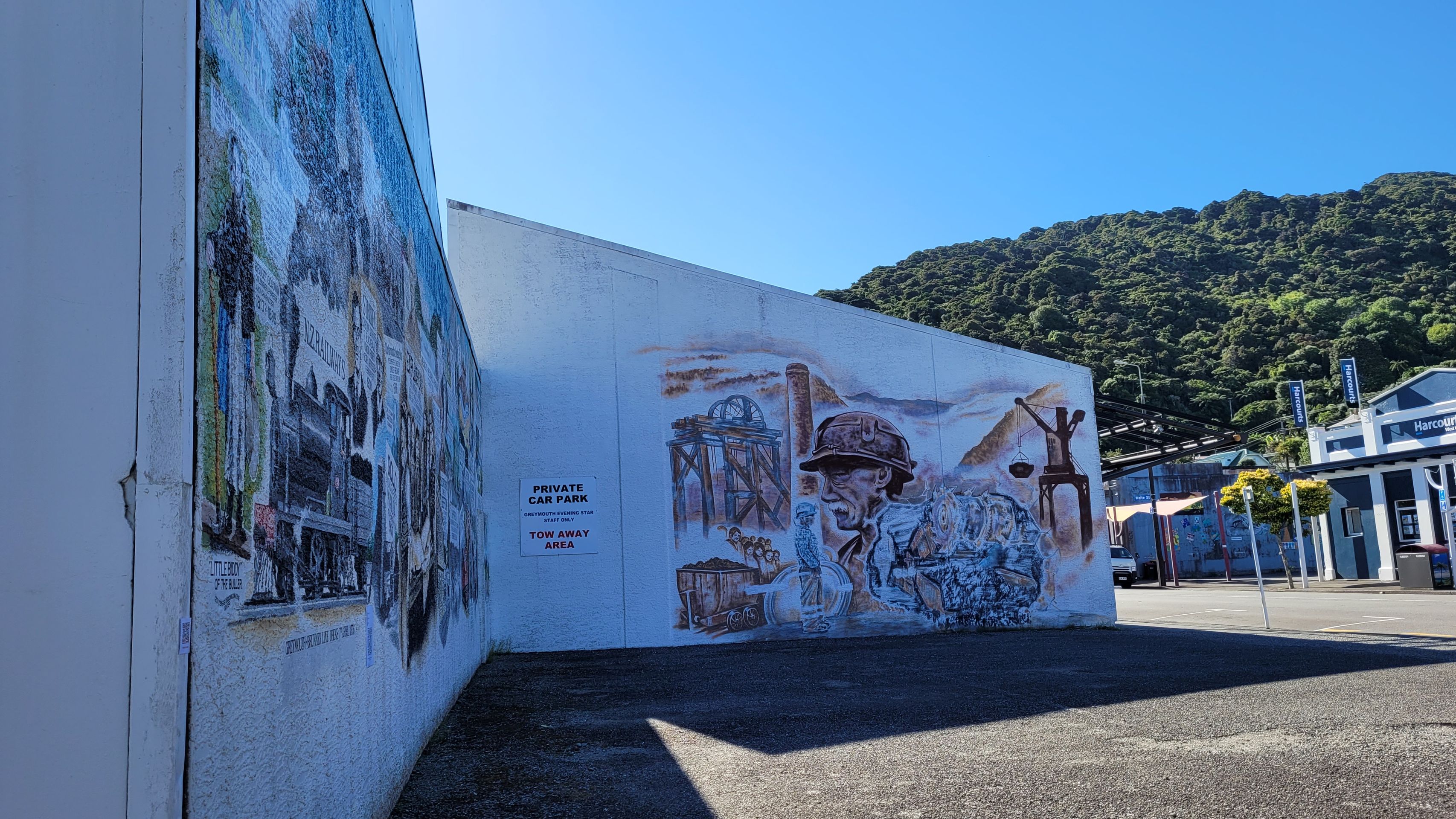
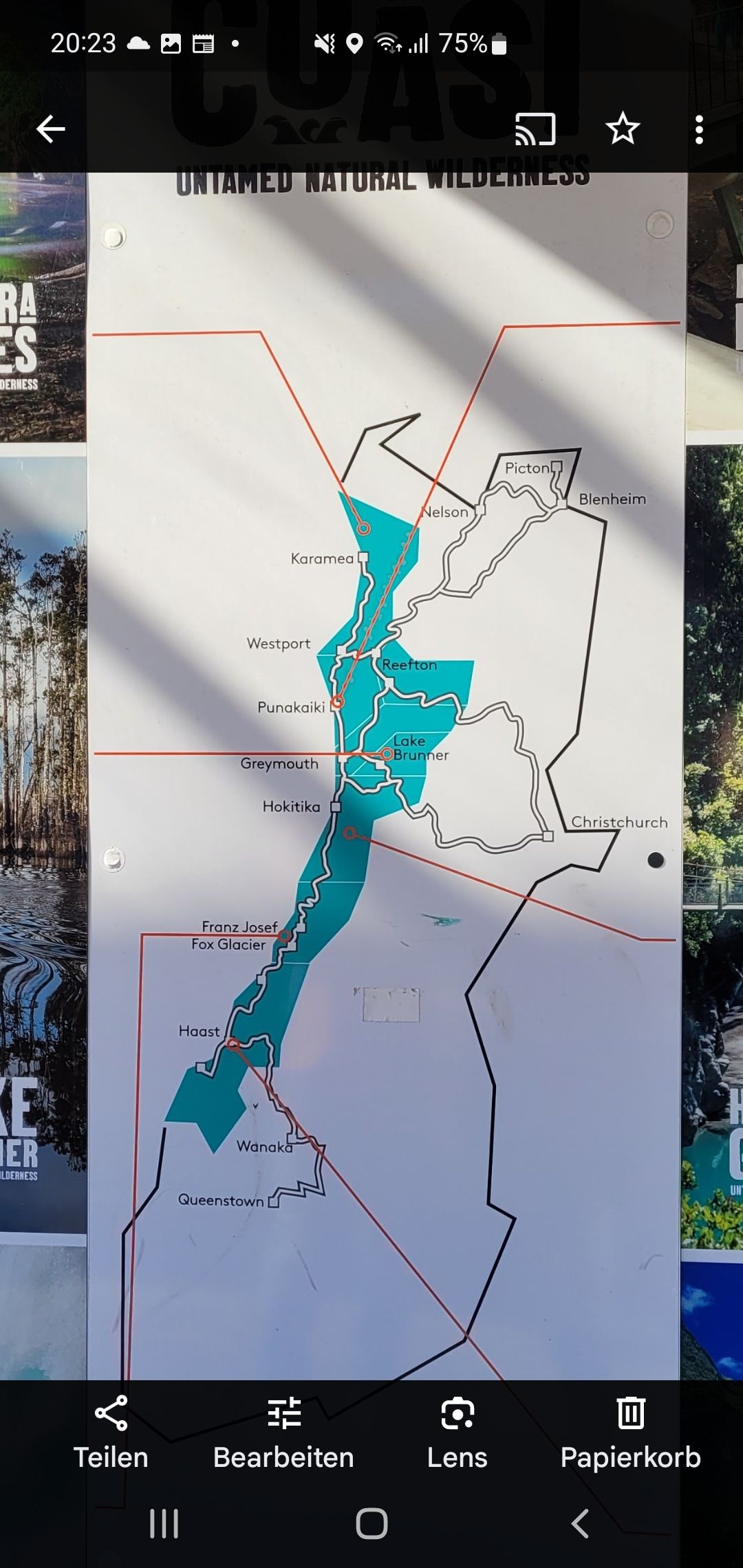
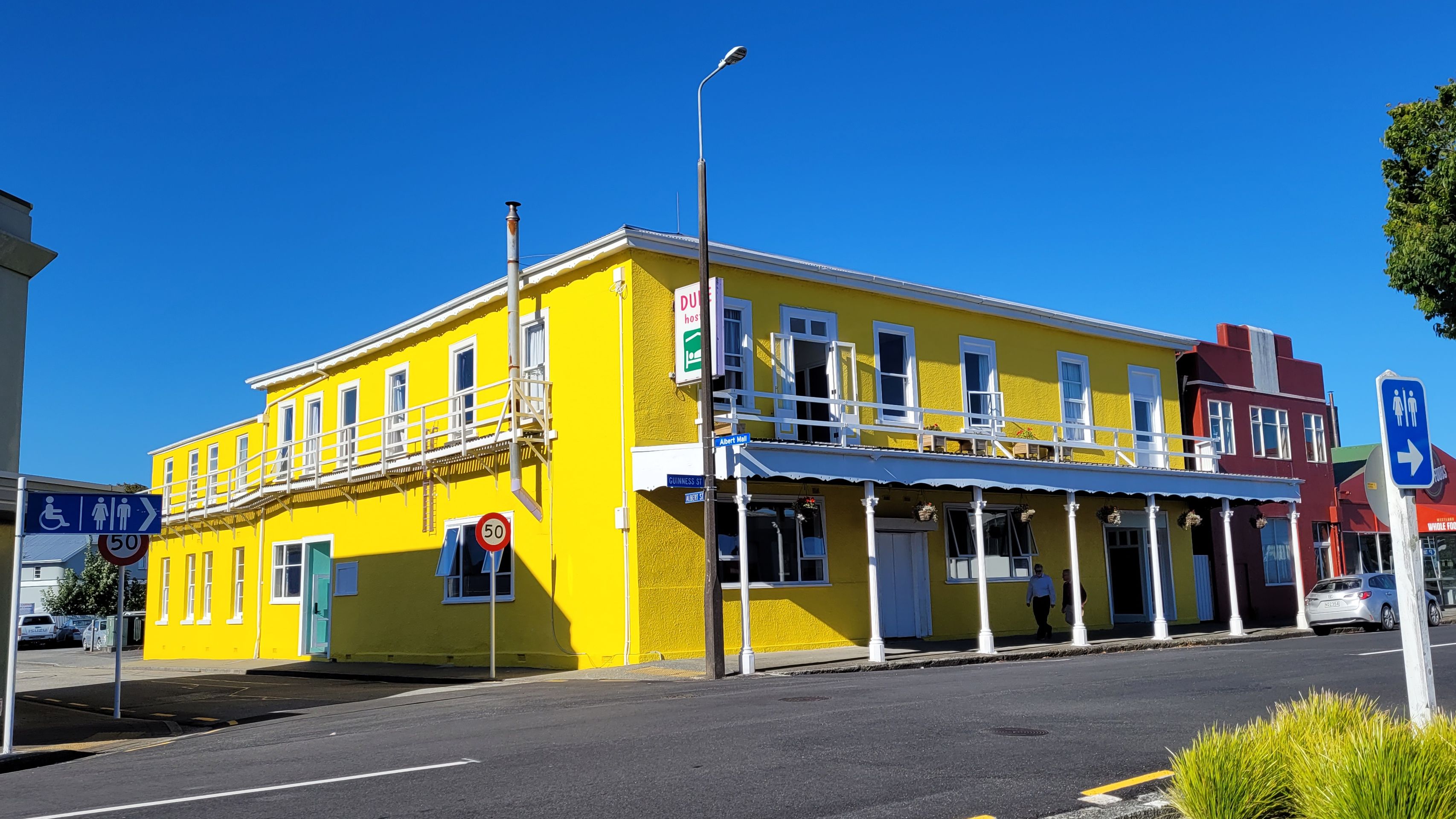
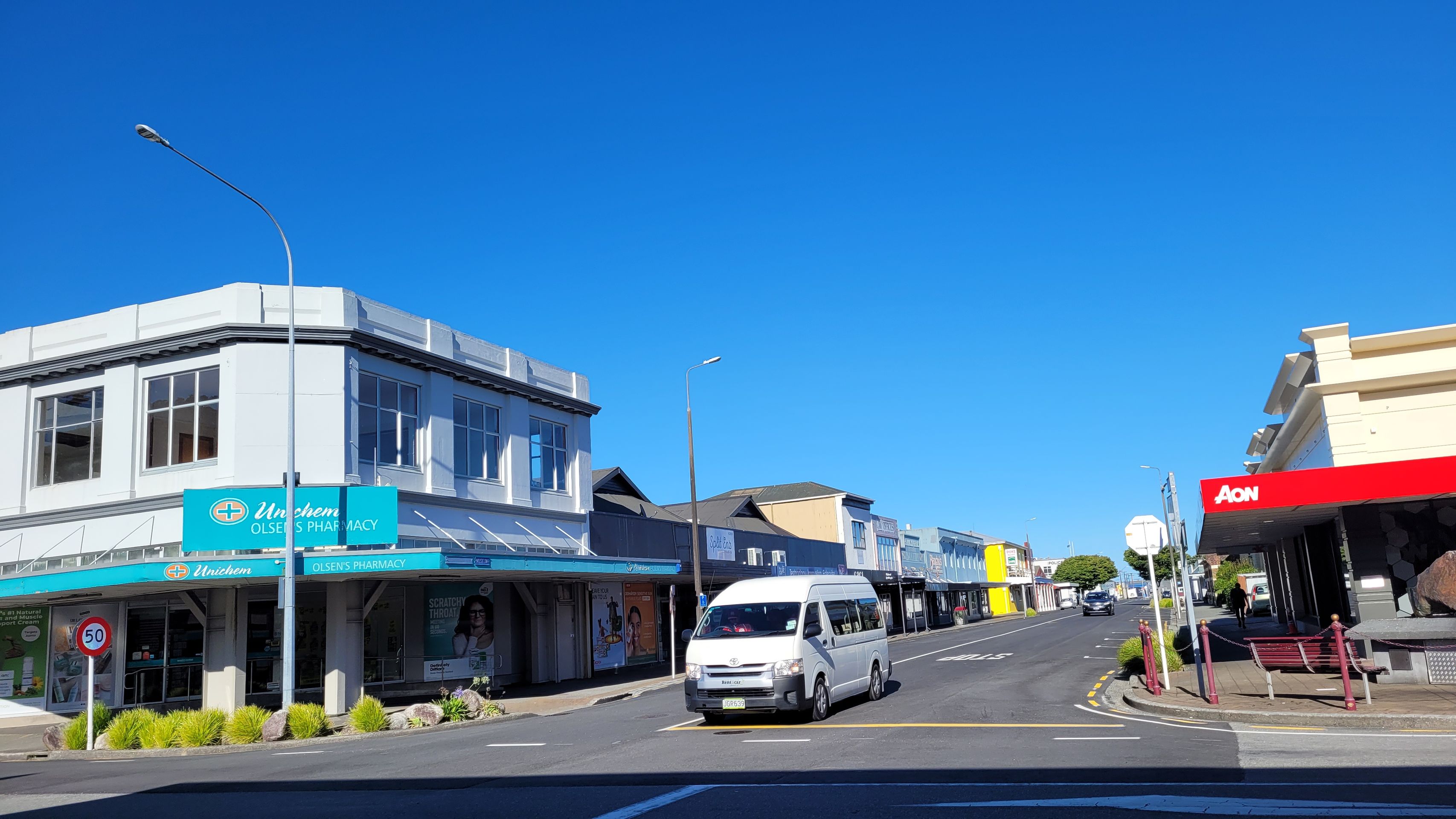
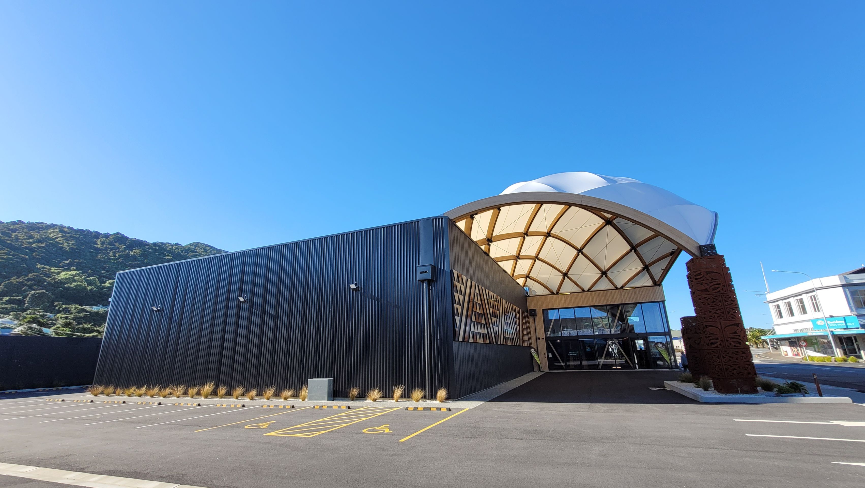
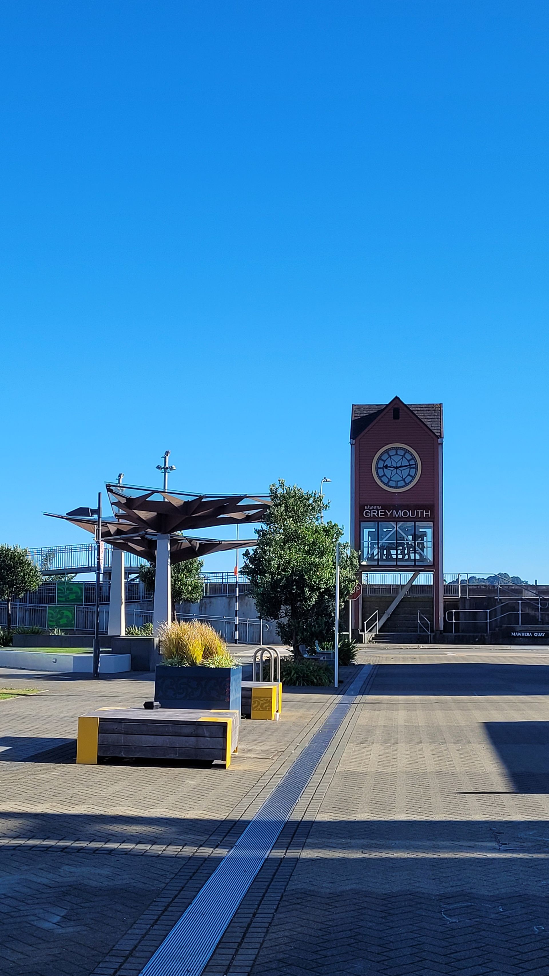
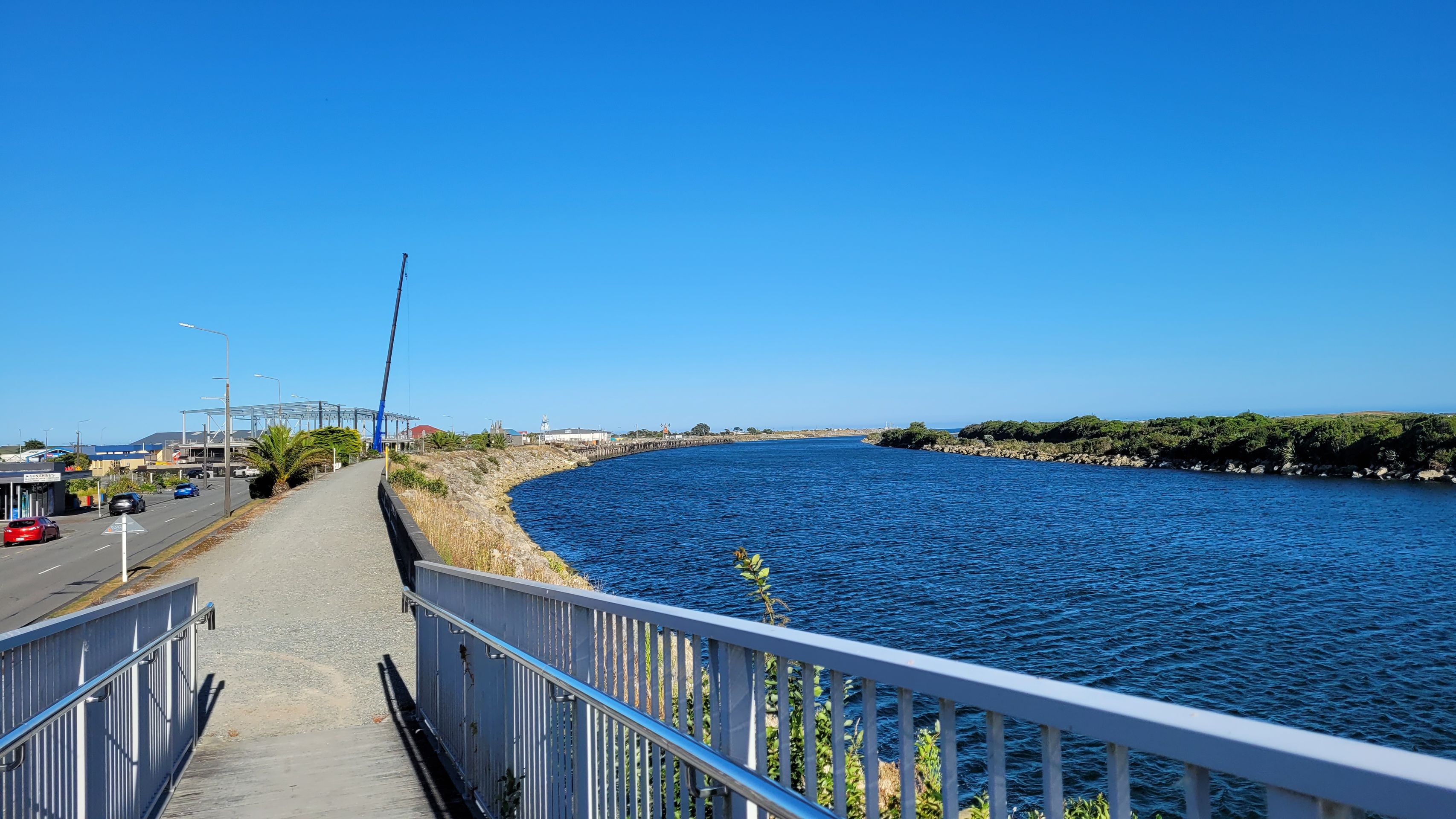
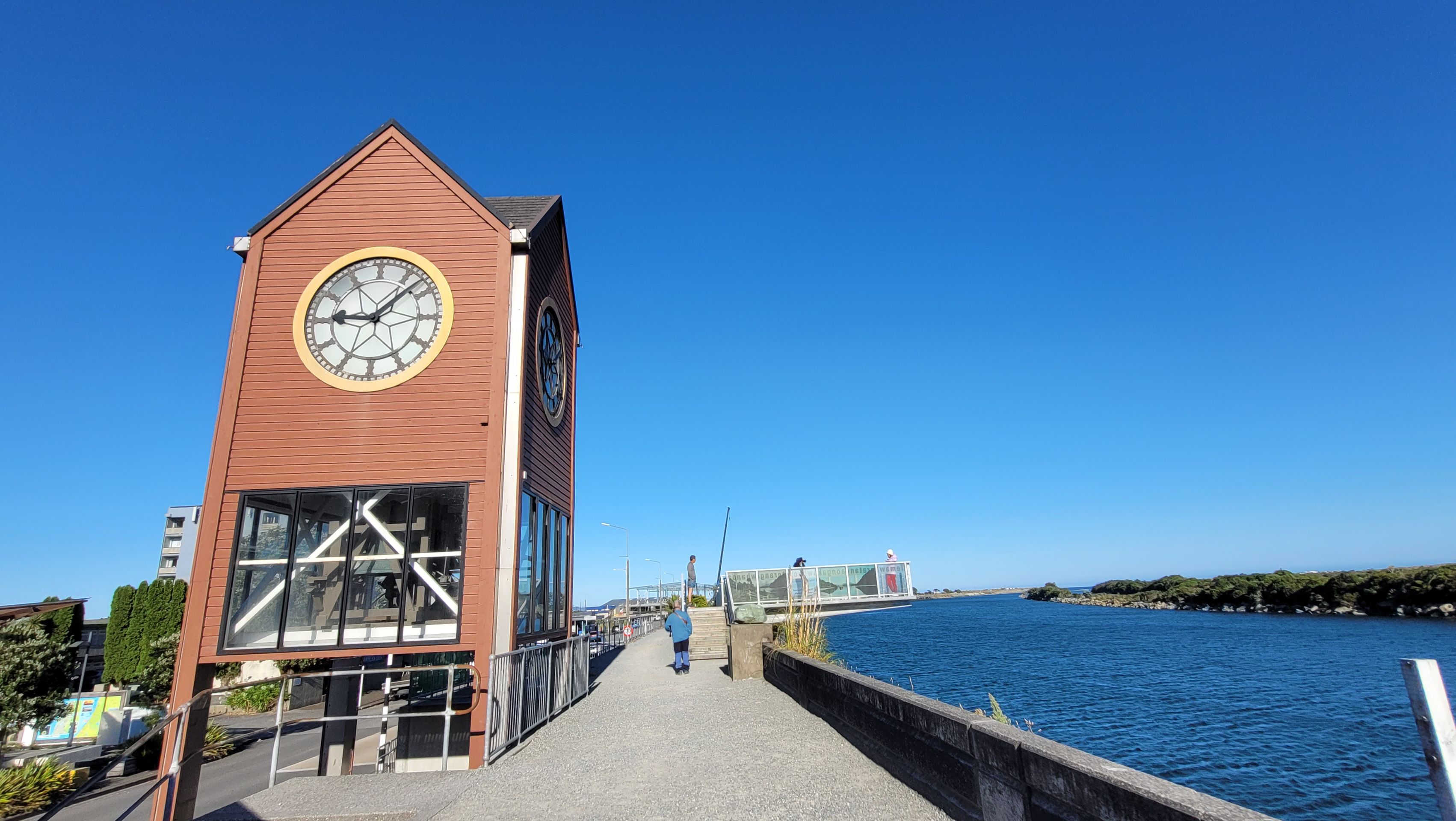
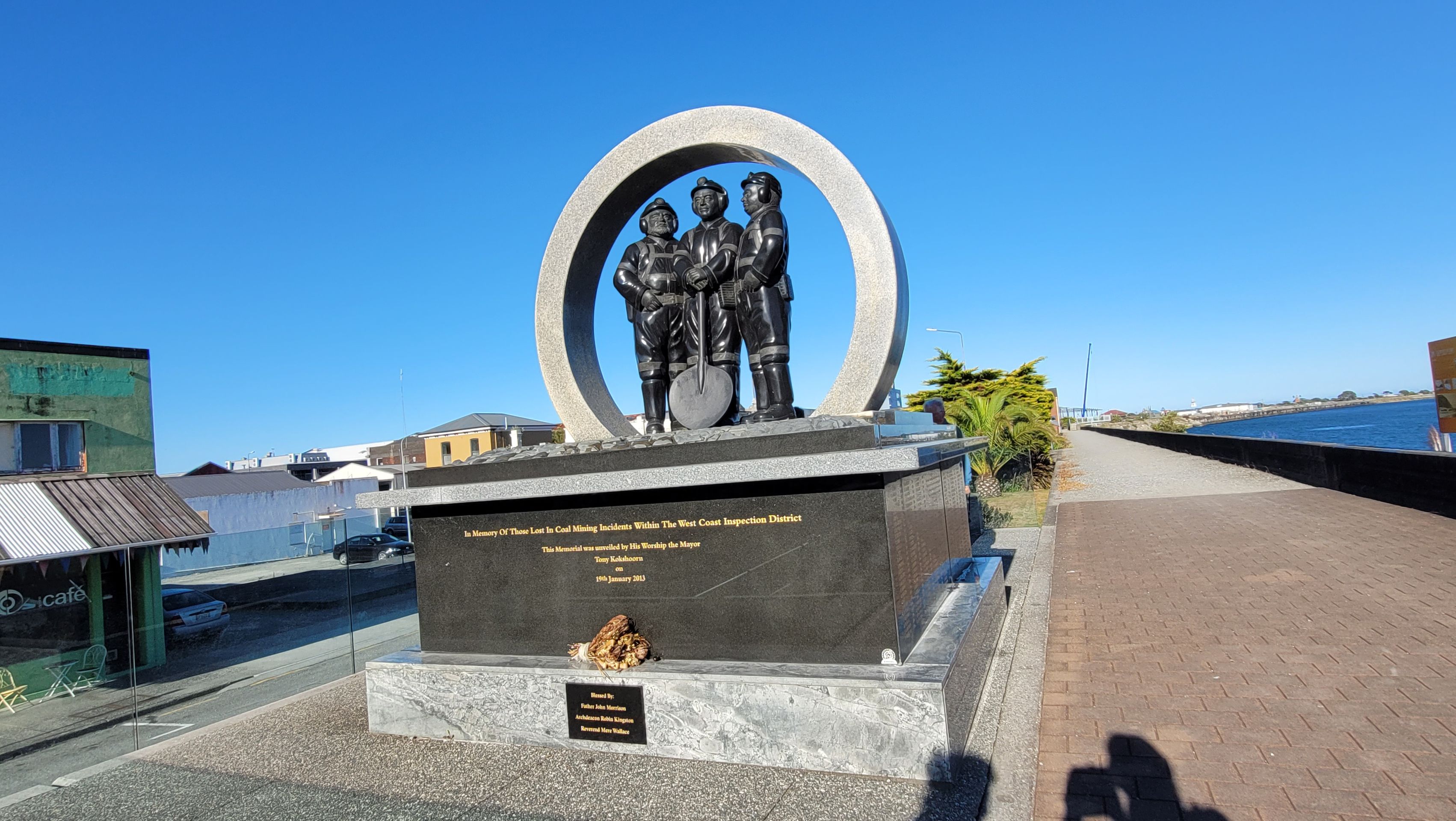
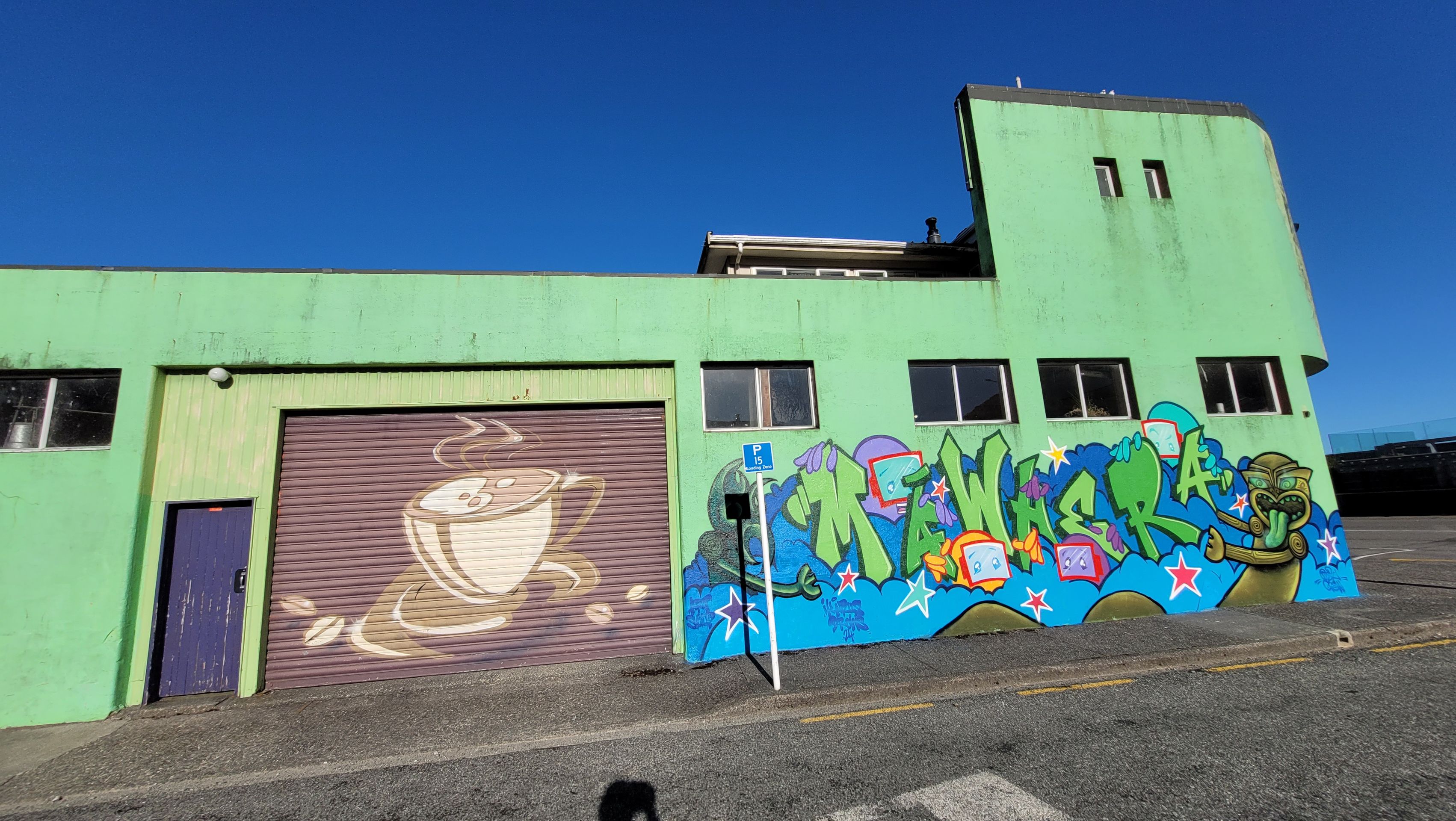
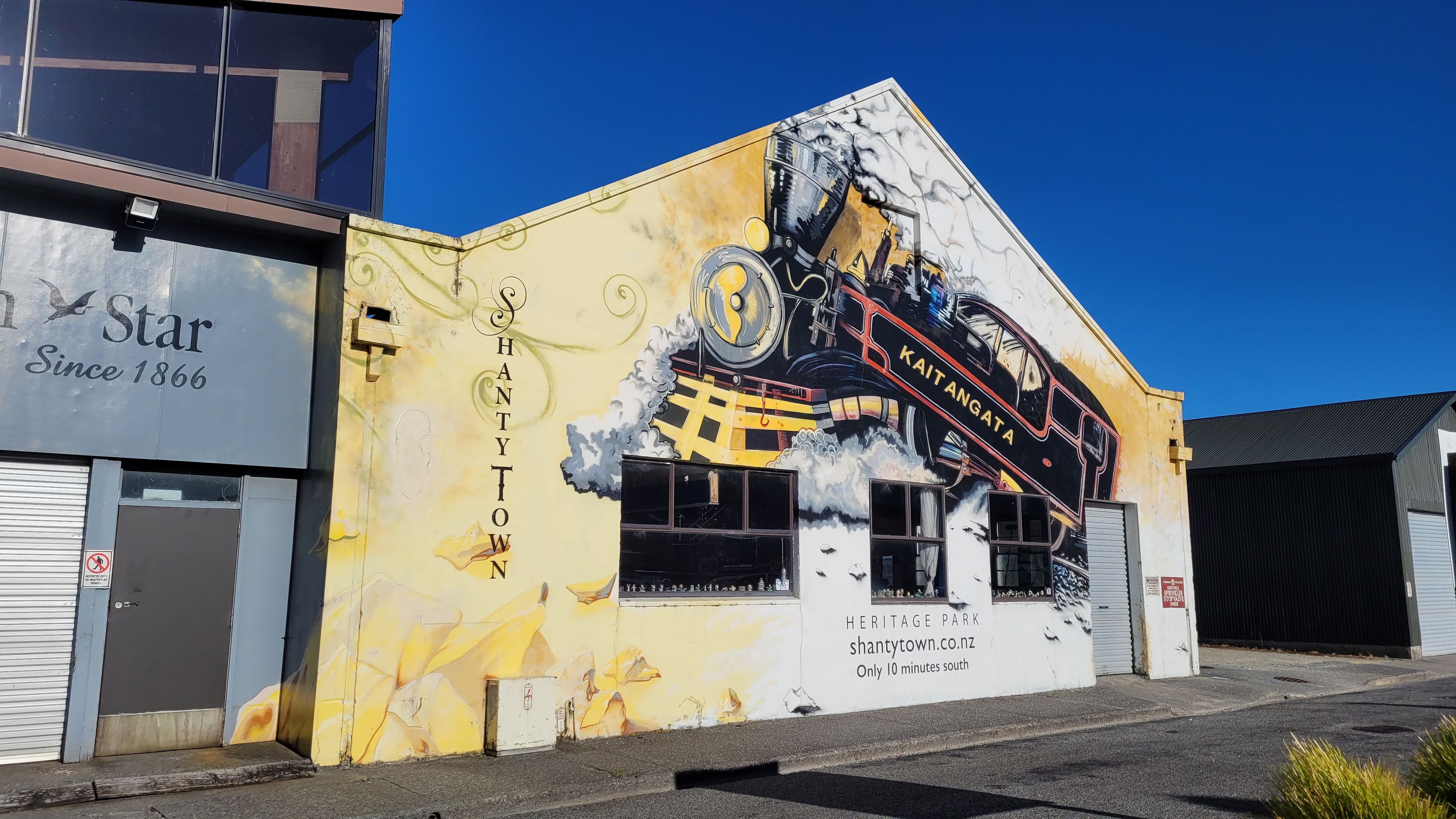
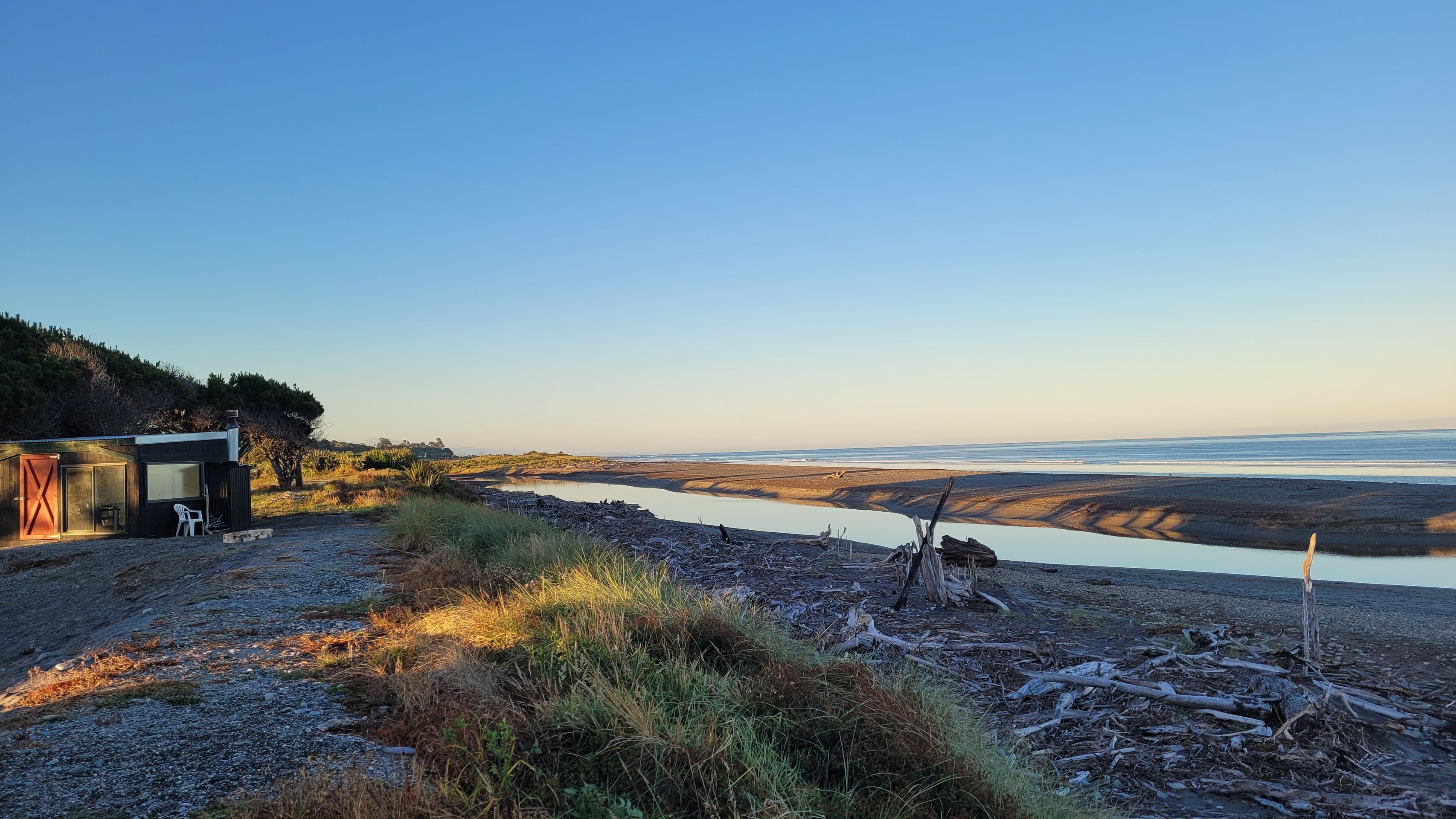
Today we continue our journey through Greymouth, Barrytown, to the Pancake Rocks in Paparoa National Park.
Punakaiki is a small village on the West Coast of the South Island of New Zealand. It is located between Westport and Greymouth on State Highway 6, the only main road of the West Coast. Punakaiki is directly adjacent to Paparoa National Park and serves as access to a popular visitor attraction, the Pancake Rocks and blowholes.
The coastal caves and overhangs of the area show signs of seasonal habitation by the Māori, and when Europeans arrived, the area was home to the Ngāti Waewae, a hapū of Kāi Tahu, who traded in the highly valued Pounamu.
Early European explorers sailing along the coast encountered steep cliffs at Te Miko, which could only be accessed by climbing a total of 46-foot-high (as estimated by Haast) ladders made of Harakeke and decaying Rātā vines. Charles Heaphy noted in 1846: “... as several of the rotting steps gave way beneath our feet, our situation was anything but pleasant. Numerous cormorants and other sea birds, which had their nests in the rock crevices, screamed and circled us as we intruded.” During the gold rush of the 1860s, these were replaced by chain ladders, which soon became known as Jacob's Ladder, but the wooden rungs were destroyed by overuse, and travelers slipped down the chains or wedged sticks in the links instead.
However, there was an inland path that led over a higher terrace through the Rātā forest. The gold miner William Smart was guided through this by local Māori to avoid the “rotten” ladders. By October 1866, the authorities had cleared a path to avoid the ladders, but this soon degenerated into a bog. In 1867, underemployed gold diggers were used to clear the “Razorback Road,” now known as Inland Pack Track. It completely bypassed the coast, continued up the Fox River, south through rugged hill country, and ended at the mouth of the Punakaiki River. The route, which connected Cobden north of Greymouth to the goldfields at Brighton at the mouth of the Fox River, cost perhaps £10,000 and was completed by October 1867. However, it was not a success: it required too many river crossings that were difficult during high water, and after the gold rush ended and the gold diggers moved on, it fell into disrepair. In January 1873, the Grey River Argus referred to the road as “completely useless” and after the 1870s it was seldom used.
Travelers crossing the Te Miko plateau would stop at the lagoon of the Pororari River and wait for low tide to cross the flat (thus avoiding quicksand). A dry limestone overhang on the north side of the lagoon was a suitable waiting place and became known as the “Post Office” because the diggers left messages and carved their names into the walls. As late as 1931, graffiti like “Sandy 1866” and “Hamilton 20/65” were still visible.
After the path traversed what is now Punakaiki, it continued over the headland Dolomite Point and down to the Punakaiki River. Early travelers did not document or comment on the Pancake Rock formations, which are just 15 minutes off the path, and it seems the Māori did not show them to early European explorers either. Those traveling south to the excavations at Canoe Creek still had to traverse the Razorback and navigate a narrow path between a deep gorge on one side and a steep bank dropping to the beach on the other. It was not until 1929 that a drivable road was established here, finally connecting Greymouth and Westport.
In 2018, the remnants of Cyclone Fehi caused significant damage to the road just north of Dolomite Point. Waka Kotahi NZ Transport Agency carried out $7.8 million worth of improvements to make this section of State Highway 6 more resilient.
We continue on to Westport, along the Buller River to Murchison.