
Northwest Ireland
Dunlewey Lough

Published: 22.06.2025
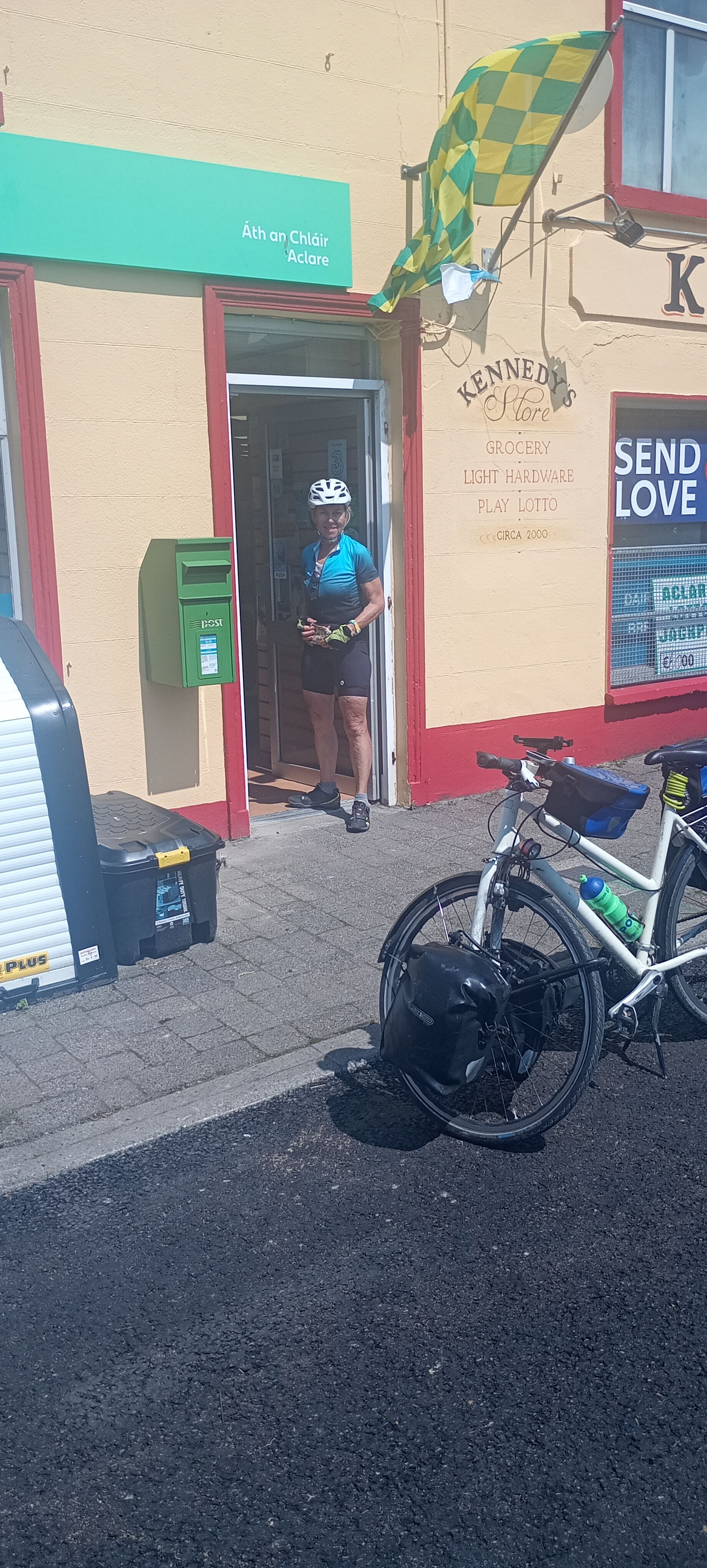
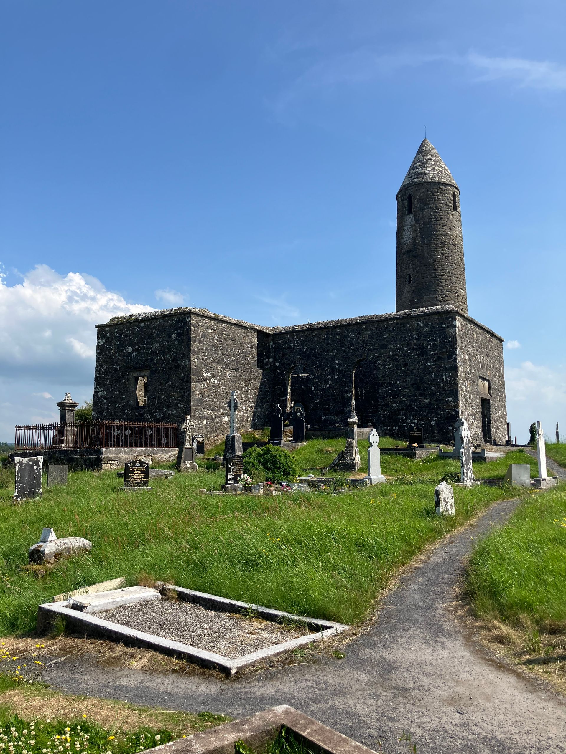
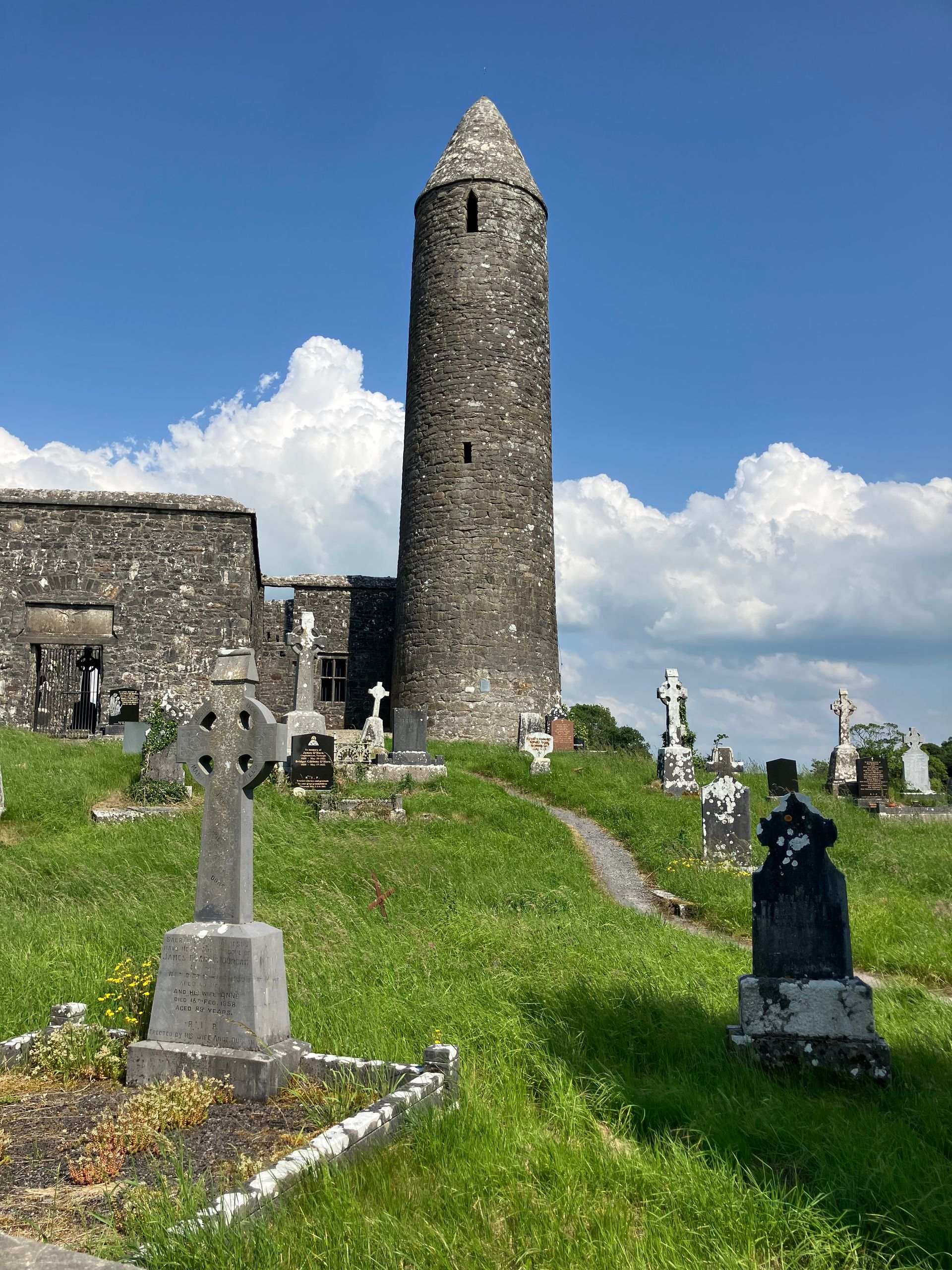
From Sligo, we head south, not very spectacularly. Then through Colloney back to the west. Along the way, we meet three young Frenchmen on their way from Cork to Derry, a brief exchange among experts. The next 25 km take us again through a very lonely area. The question is what the people here live on. Presumably, EU subsidies and government grants from Dublin are the livelihood for many. To the north, we see the mountain range of the Ox Mountains with peaks reaching up to 600 m (are these Swiss mountains or rather hills?). Today it is very hot by Irish standards - up to 30 degrees. The shopkeeper in a small store along the route says that her refrigeration machines can no longer adequately cool drinks in this weather. Just before Foxford, a black dog suddenly barks on my left side. Before it can snap at me, it gets pushed into the ditch by the heavy panniers and disappears whimpering. After 60 km, we arrive in Foxford, a larger settlement with a café for a well-deserved coffee break. Aside from the café and two main streets, the place has nothing to offer. We are quickly back on lonely roads, cycling around Lough Cullin. Then we turn left and continue steadily upward. It is hot and exhausting. At the pass, we find Turlough with remnants of a monastery, the tower dates back to 900. Shortly afterwards, we reach Castlebar, where, as almost always in Irish towns along the coast, there is heavy traffic. Over the next 20 km, we face several more climbs that don't seem to end. In Westport, we have found a Warmshowers host who is willing to take us in. However, it turns out to be somewhat difficult on-site, as we cannot stay in the apartment due to his roommate but in the wine bar he runs. We have to wait until the last guests have left and then find a corner. There is also no shower possibility. Everything but ideal! We look online for accommodation. It is the weekend, sunny, nearly everything is booked, and the rest is outrageously expensive. A call to the campsite helps, we can set up our tent in the well-filled site and spend a quiet night.
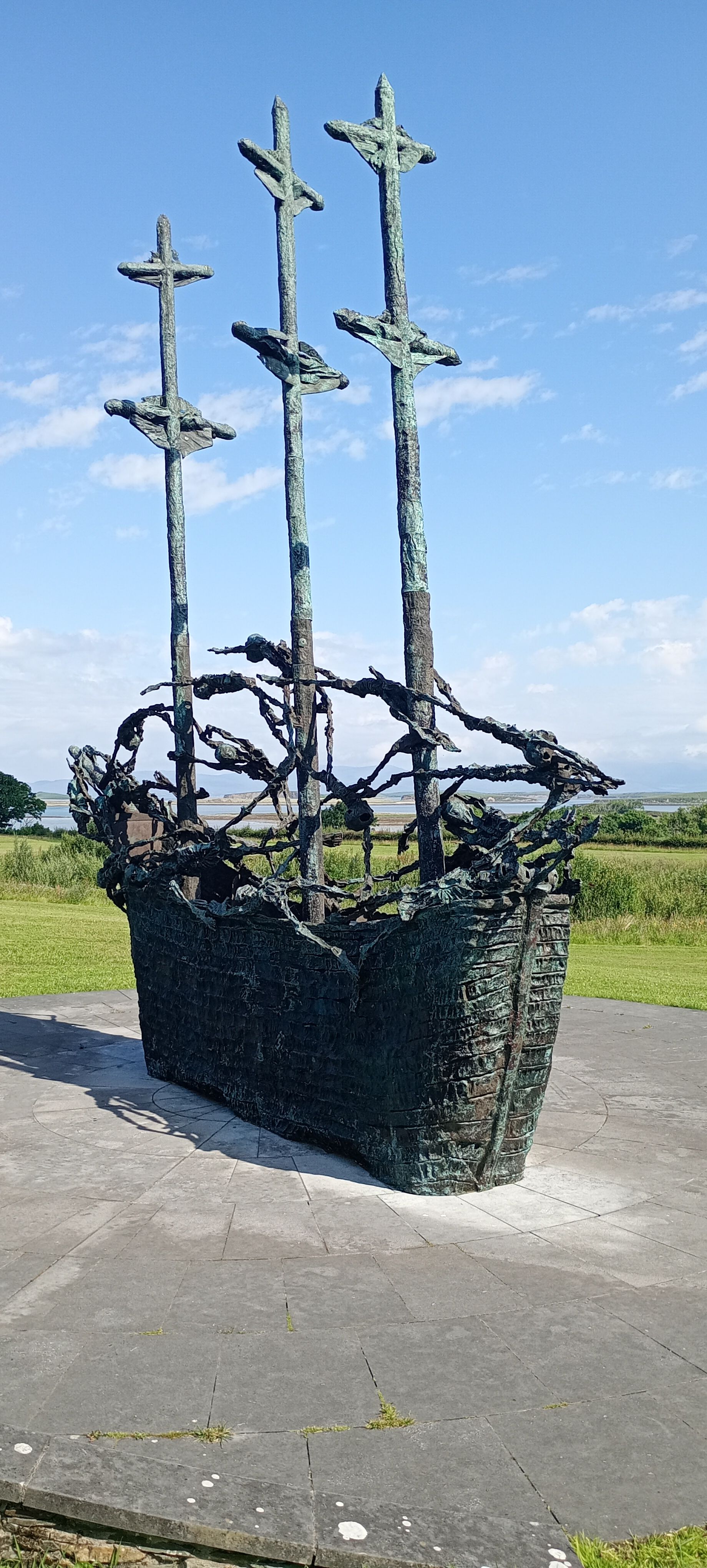
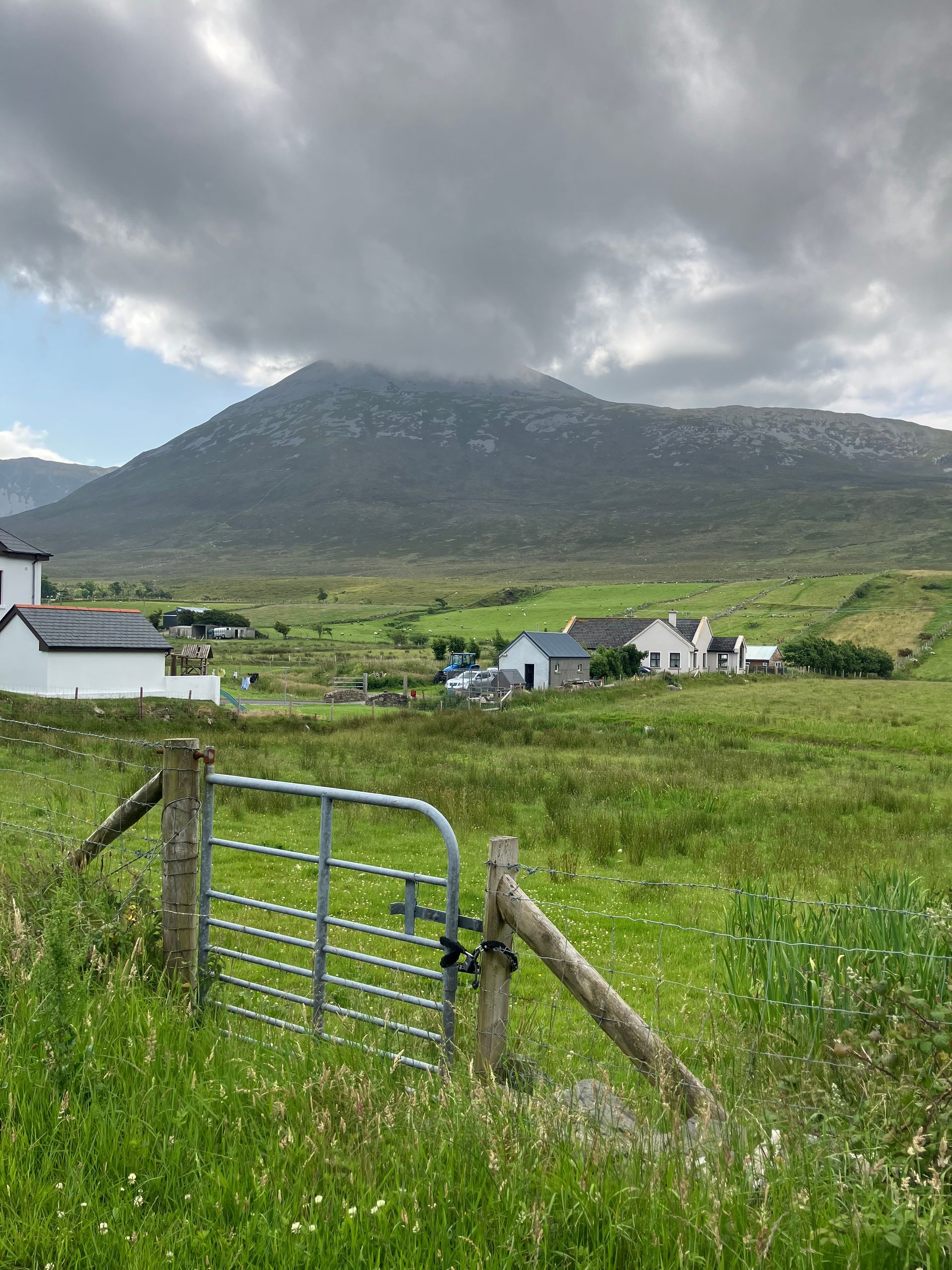
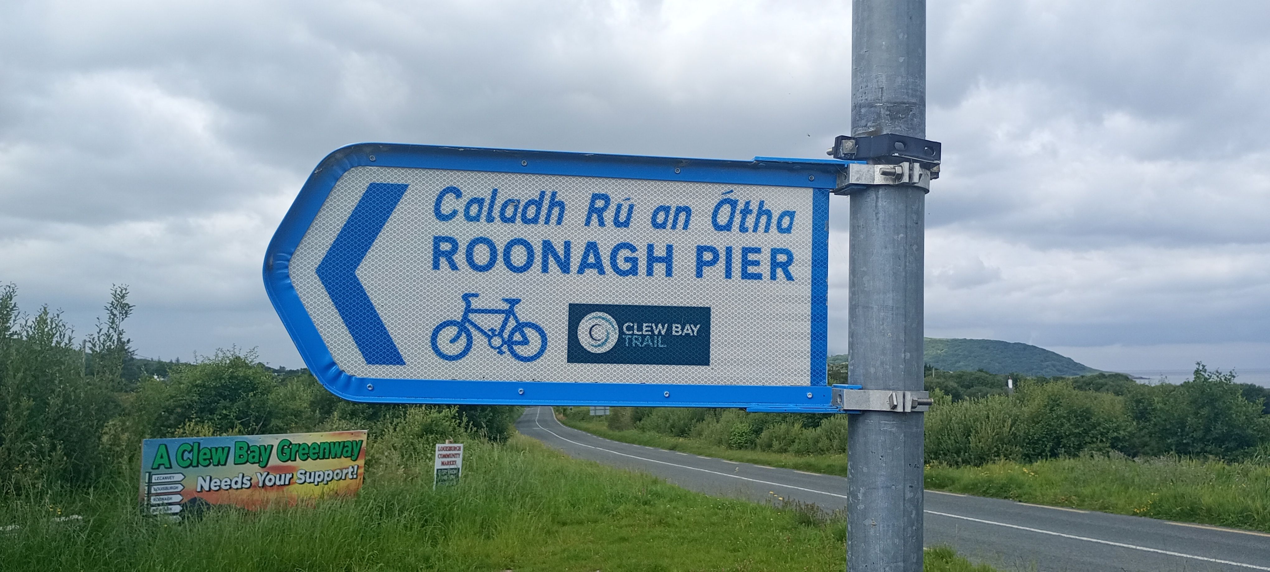
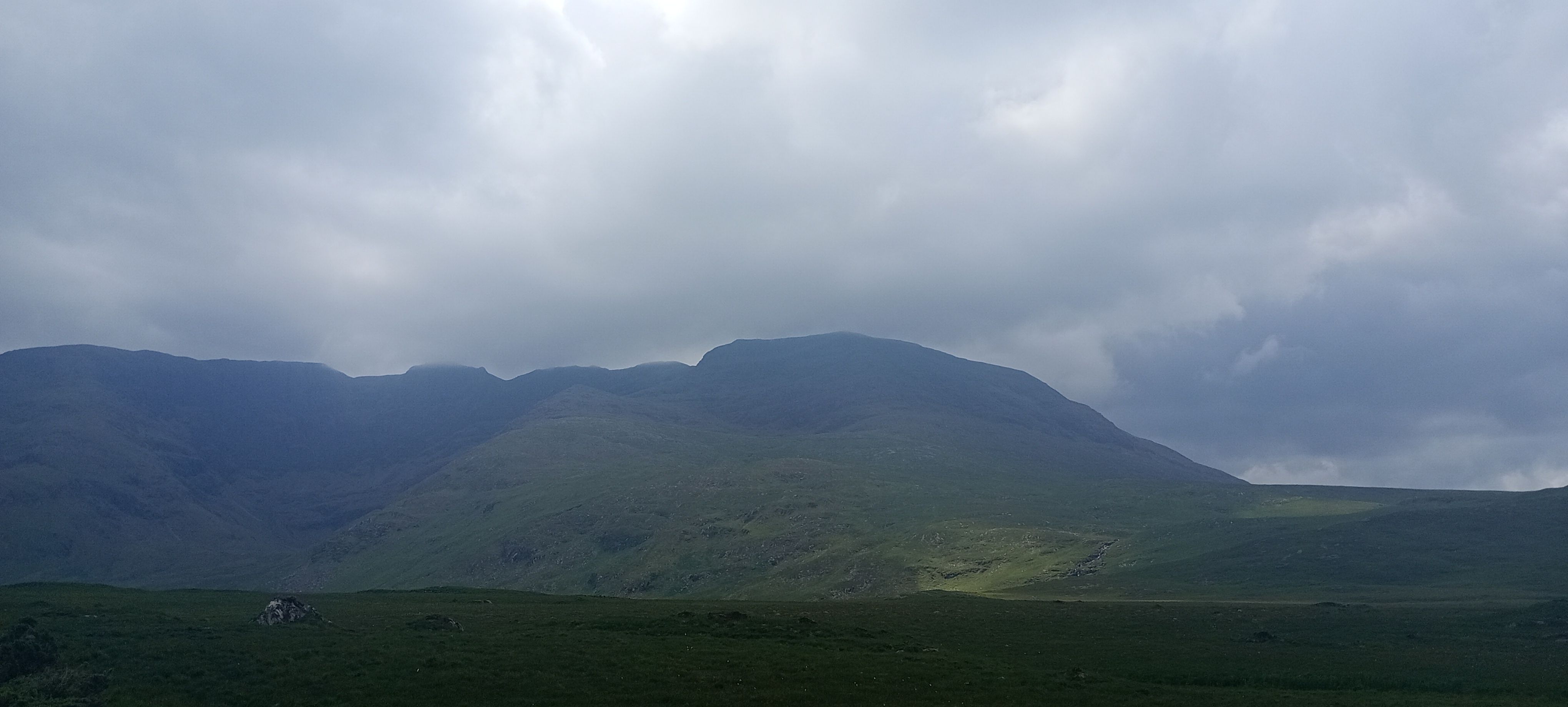
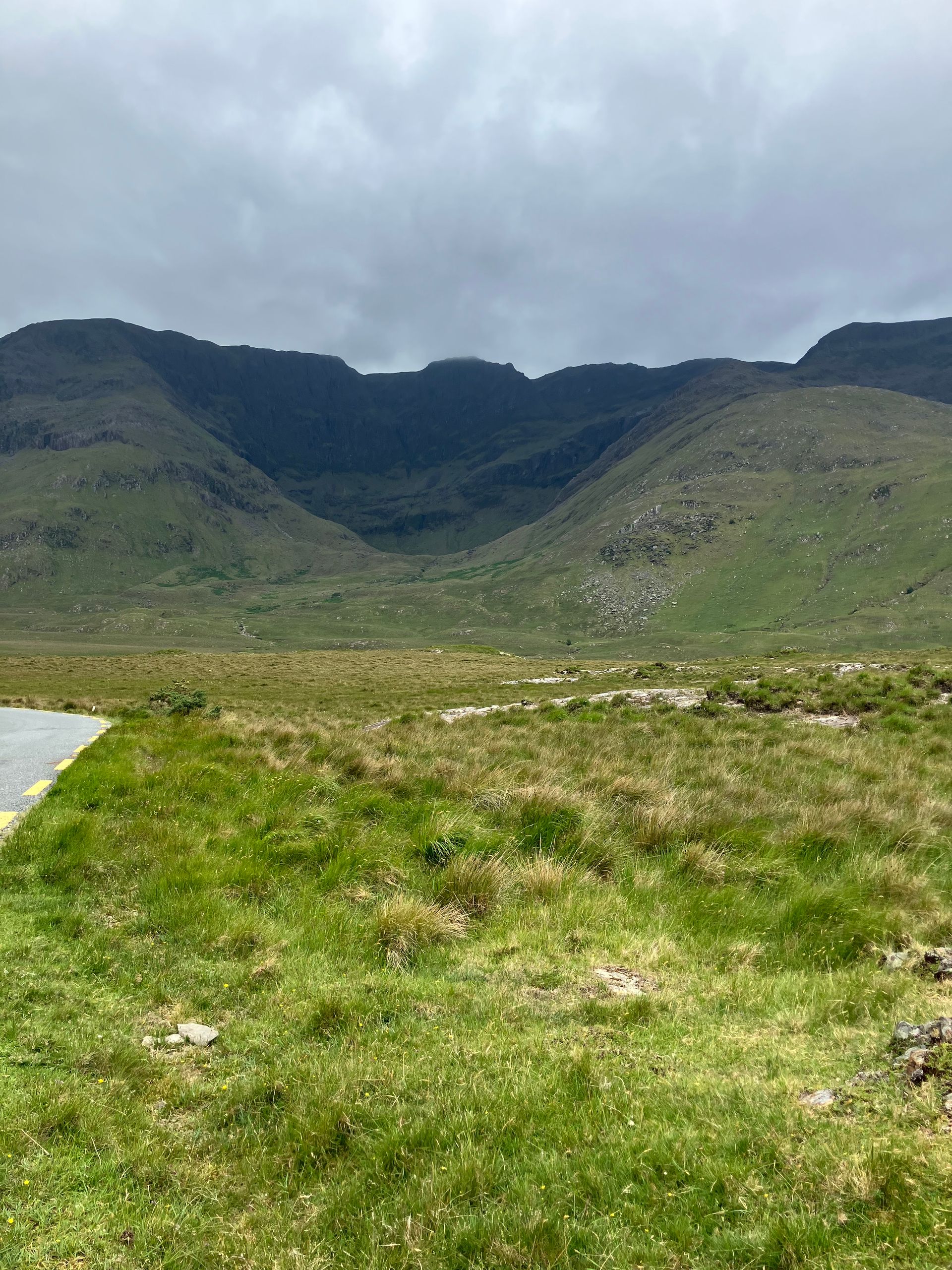
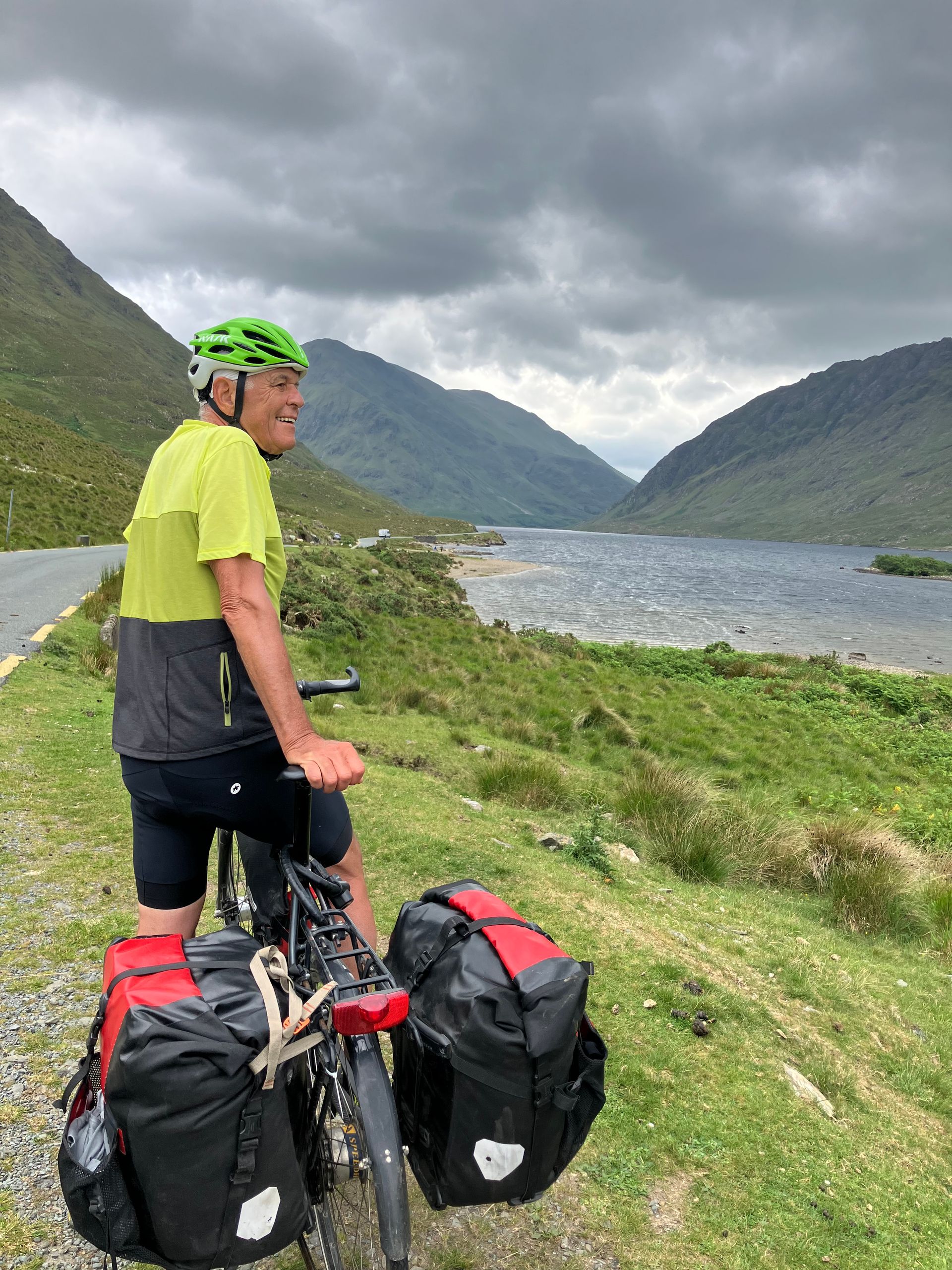
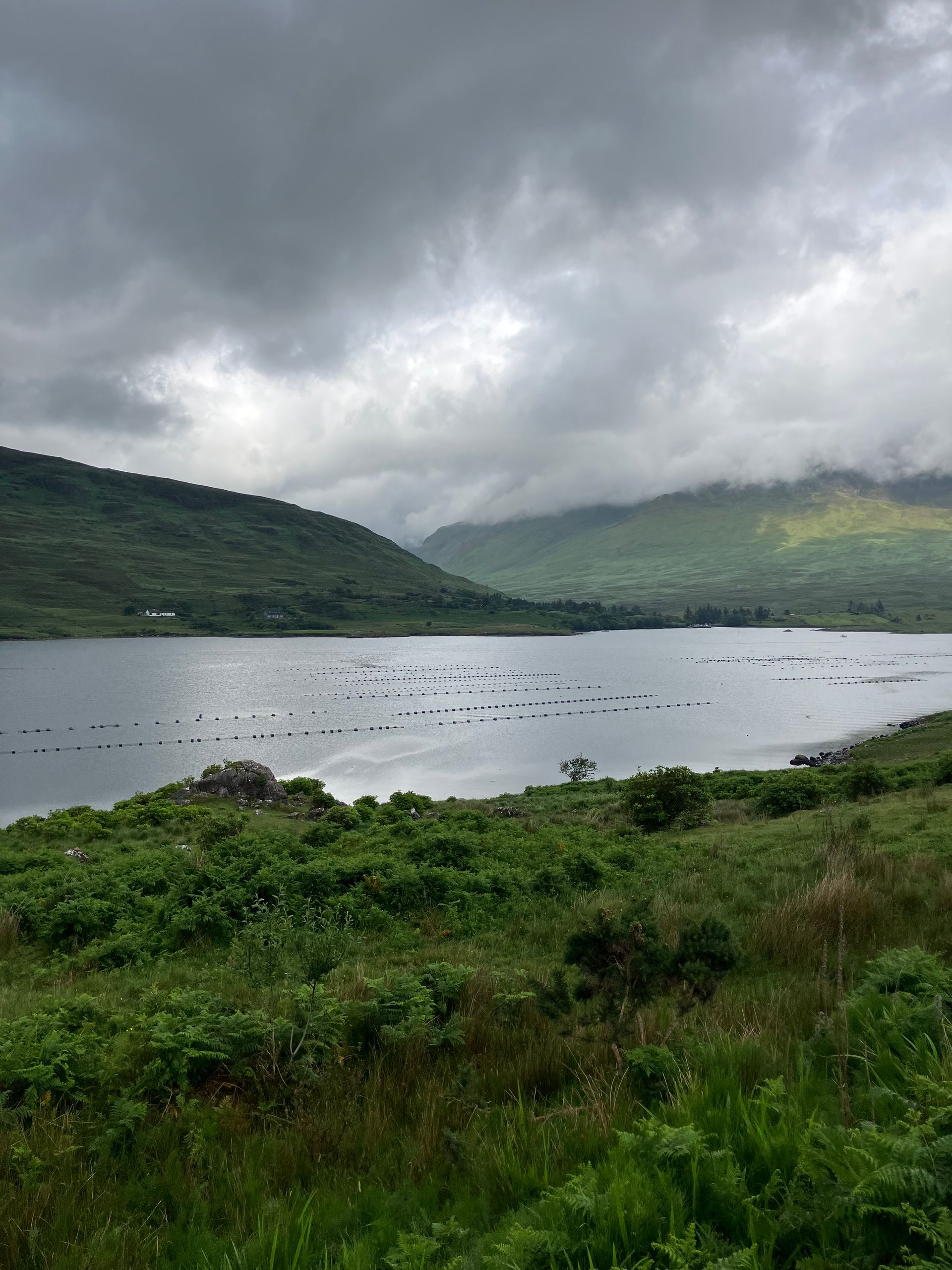
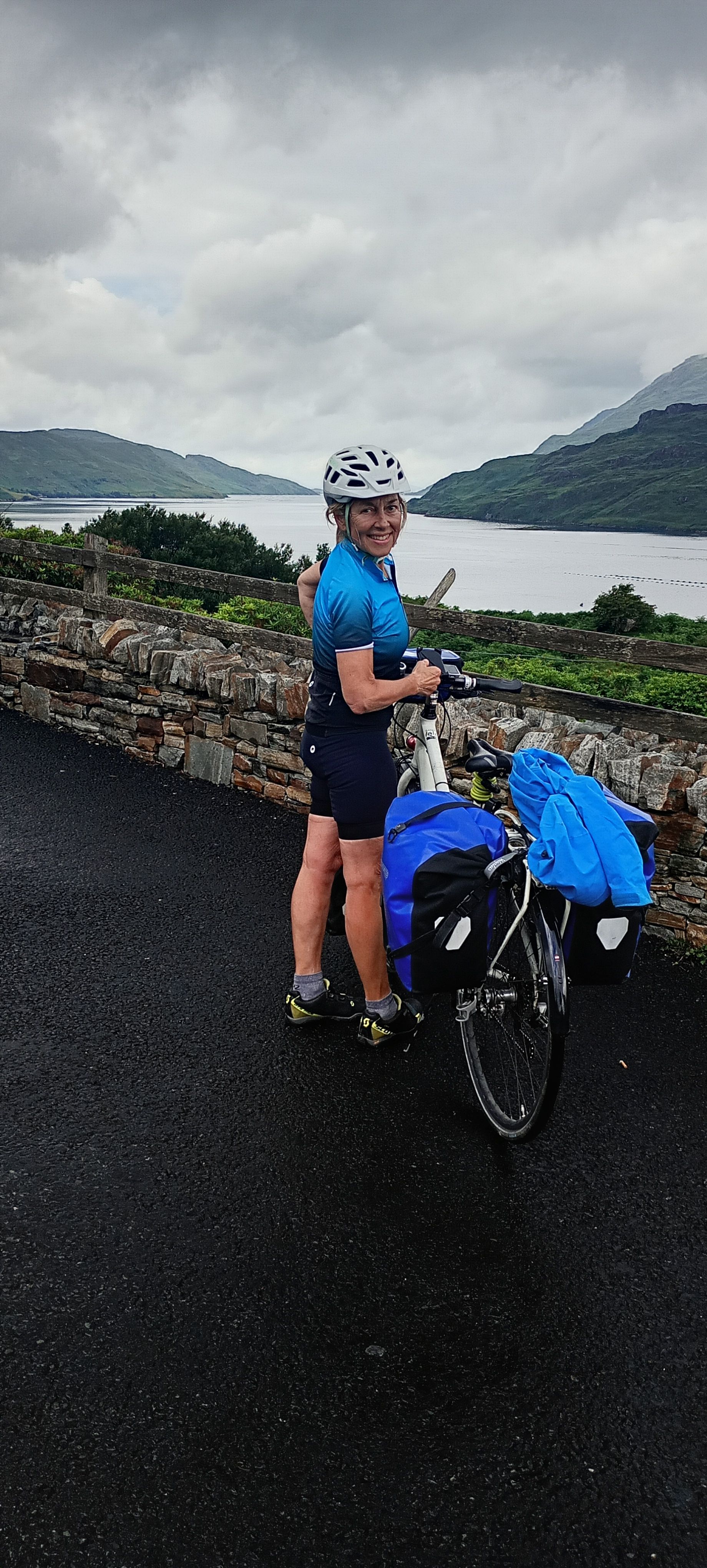
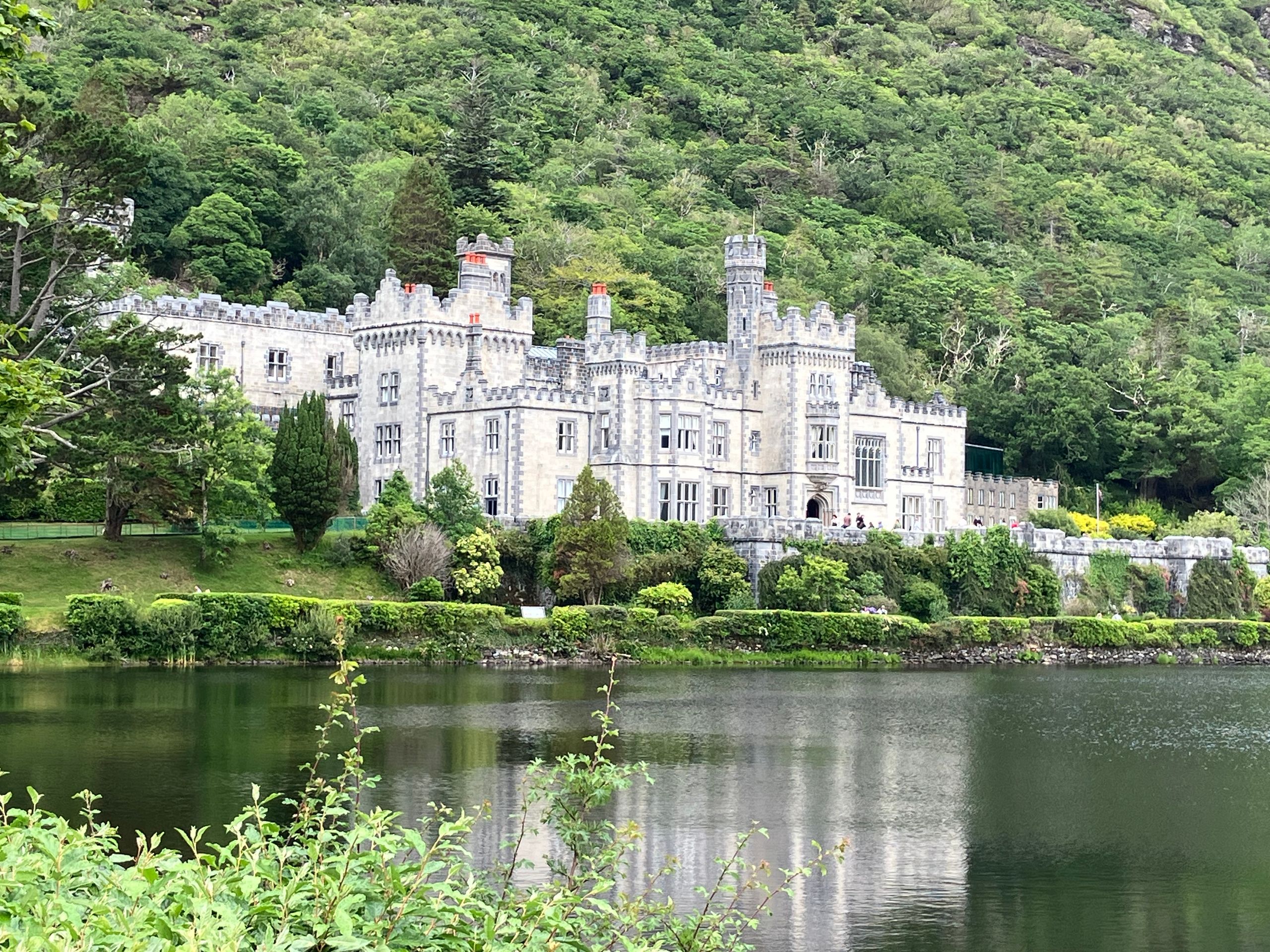
After breakfast, we cycle along the coast with a view of Achill Island to the right, while Croagh Patrick towers to the left. For hundreds of years, the 753 m tall Croagh Patrick has been a pilgrimage site in honor of Saint Patrick. According to legend, in the year 441, Ireland's patron saint climbed this mountain, fasted there for 40 days, and built a chapel. We look up respectfully and make a stop at the National Famine Memorial, which commemorates the one million dead and two million refugees during the Great Famine between 1845 and 1850. In Louisbourgh, we turn south onto the R335 into an increasingly narrow valley. The mountain panorama becomes more impressive with almost every pedal stroke. The bare mountains rise steeply in the narrow valley. The impression is heightened by our effort against the headwind. At the summit of 75 meters at a lake (DooLogh), there is a memorial plaque honoring the people who lost their lives during the Great Famine while searching for food over the mountains and froze to death here in a snowstorm. The valley widens again and descends to Killary Harbour, a narrow fjord surrounded by 800-meter-high mountains, where we reach the village of Leenaun, where there is finally a coffee. Along the way, we encounter many free-ranging sheep on the road, unfazed by traffic. Now we continue on the N 59, with more traffic for 15 km up to Kylemore Abbey. This Benedictine abbey was built in 1867 by a wealthy textile manufacturer from Manchester and was acquired in 1920 by the Benedictine order as a refuge for the nuns from Ypres in Belgium, whose abbey was destroyed in World War I. Today, the site is a tourist attraction. It is not far to Clifden, but that doesn't mean the late climbs won't challenge us. Again, we camp at a campsite. And once again, we are hit by a rain front at night with strong winds that passes through late in the morning.
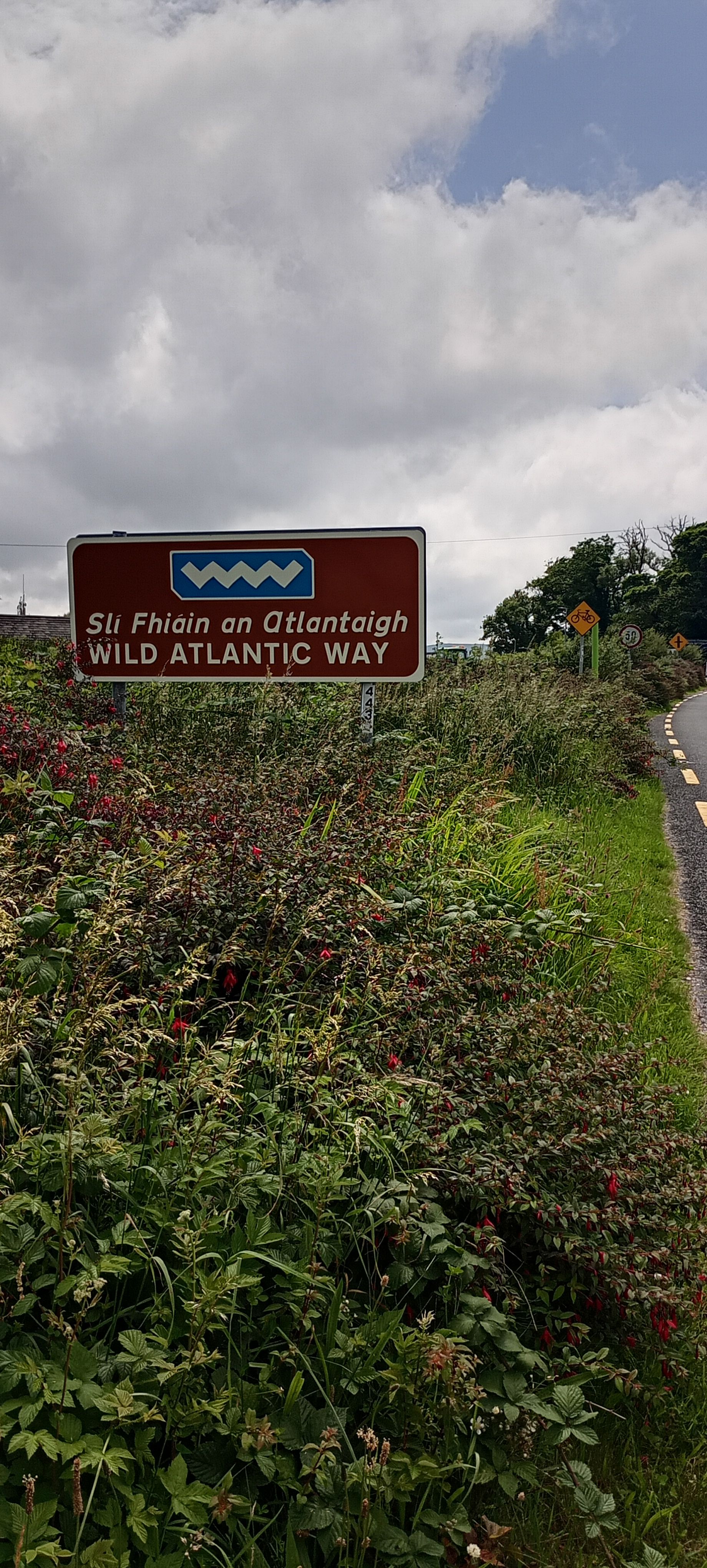
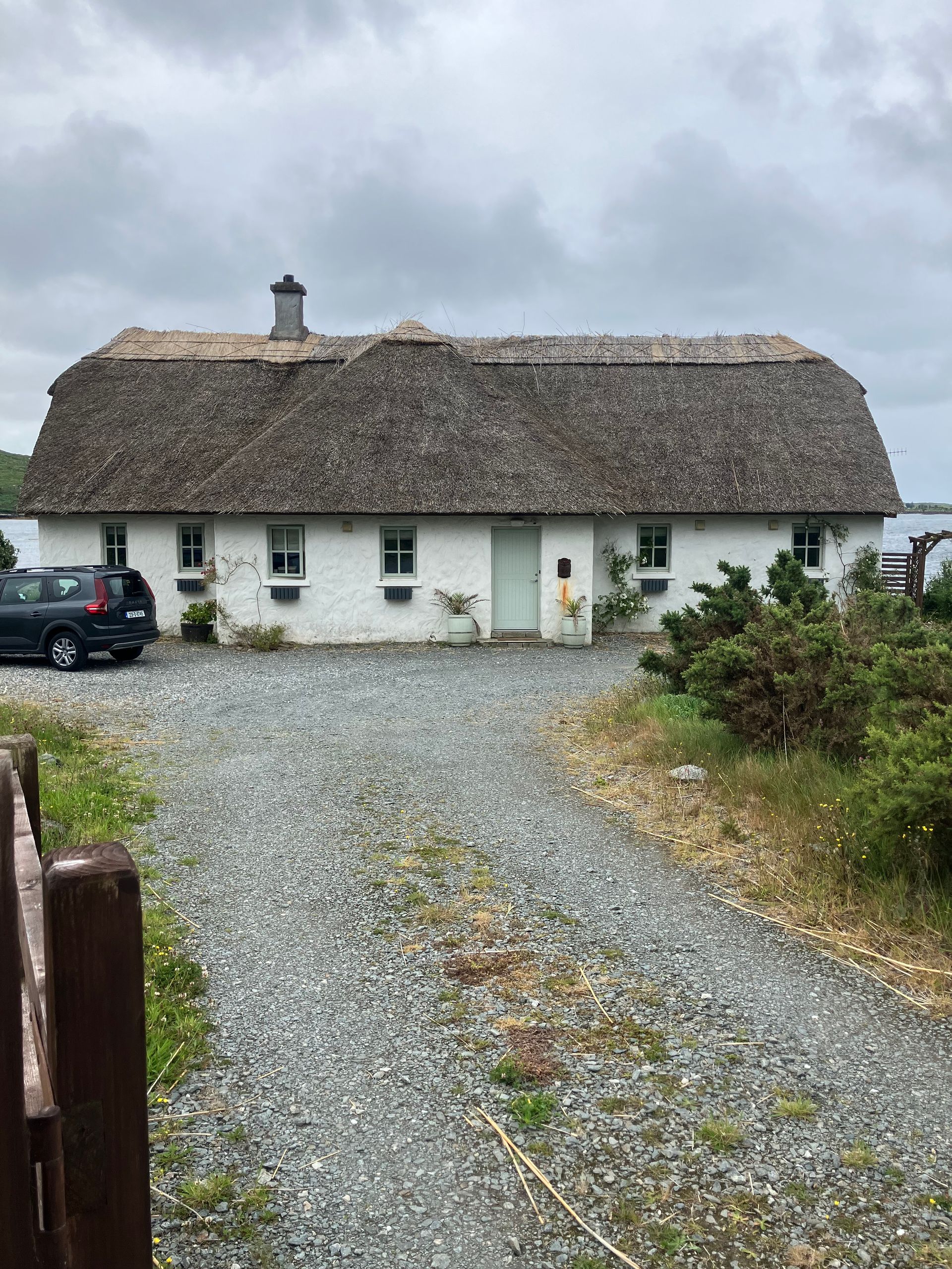
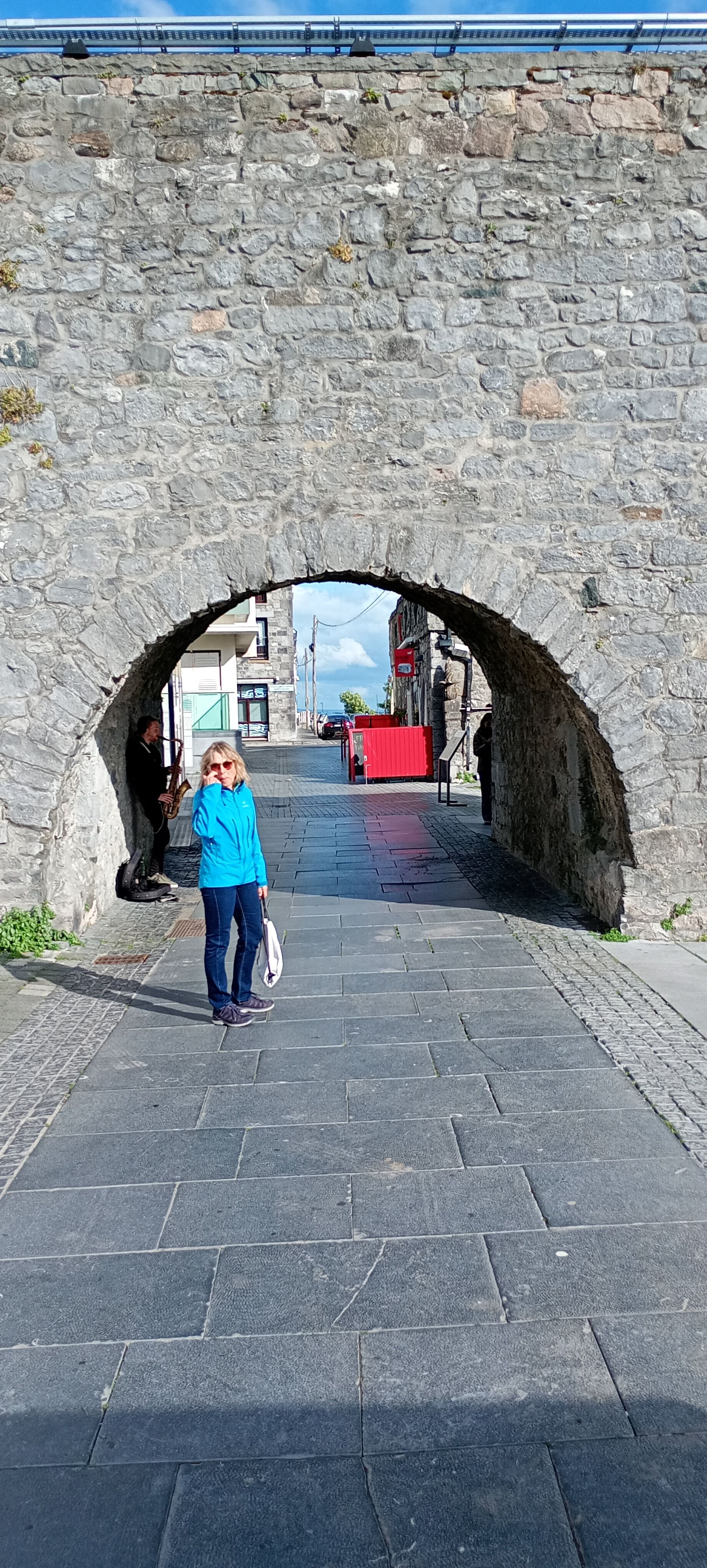
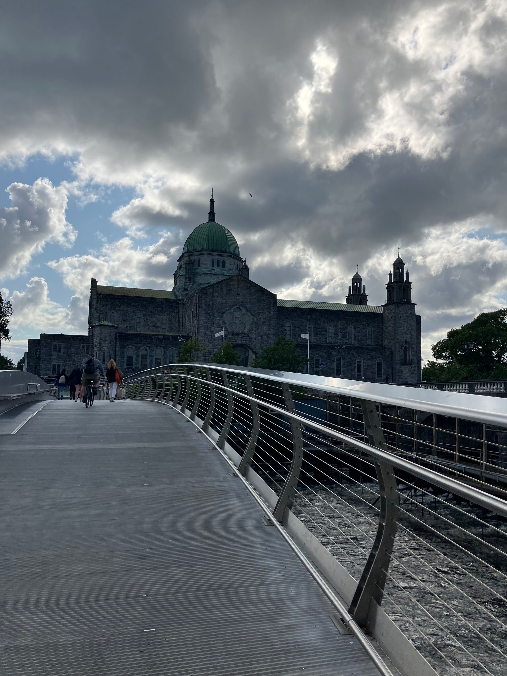
We manage to fold up the tent somewhat dry, which is good since we have already booked fixed accommodations for the next three days. We are quickly back in the barren, desolate landscape of Ireland. The first 20 km match our visions of Ireland: plenty of green, bare mountains, small lakes, bogs, scattered sheep, and light rain. The rain then becomes heavier at times, so we use our full rain gear. Nevertheless, we are captivated by this interplay of weather and landscape combined with the steady pedaling on the bike: Fully in the flow! We are surprised that a well-paved road runs through this area, who maintains it? Shortly afterwards, we reach the Atlantic coast again; it is low tide, so we see and smell the abundant seaweed. Historically, seaweed has been used in Ireland for a variety of purposes, including roofing, insulation, padding material, and even as a remedy. We continue cycling through peat bogs and see people stacking large peat bricks in front of their homes. It is a traditional fuel and has been used for heating for centuries. However, peat extraction and burning are harmful to the climate because they release large amounts of CO2. Although commercial peat harvesting in Ireland has been banned since 2022, extraction for private use continues. We are back on the Wild Atlantic Way, which means more cars are once again on the road. Only after 55 km is there an opportunity for a coffee break, which we gladly take. Then it’s still 40 km on the coastal road to Galway. Now, the Irish weather shows its better side with sunshine and tailwind. Galway, with its more than 80,000 inhabitants, is a hub on the west coast. Sights include the cathedral, the church of the college, the Spanish Arch, and Eyre Square. We visit all these places during our evening stroll in the wind and light rain.
Thank you for all your comments, it's nice to hear from you. We are doing well and are happy that we can experience this together and that our strength and health allow it.