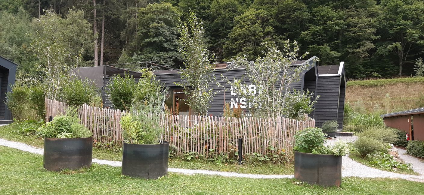
Lying frog!
Last night we could still sit outside for a long time until it started raining. Since we didn't have a TV or a couch, we did some fun things, as you surely saw 😂 The Instagram...

Published: 24.07.2022
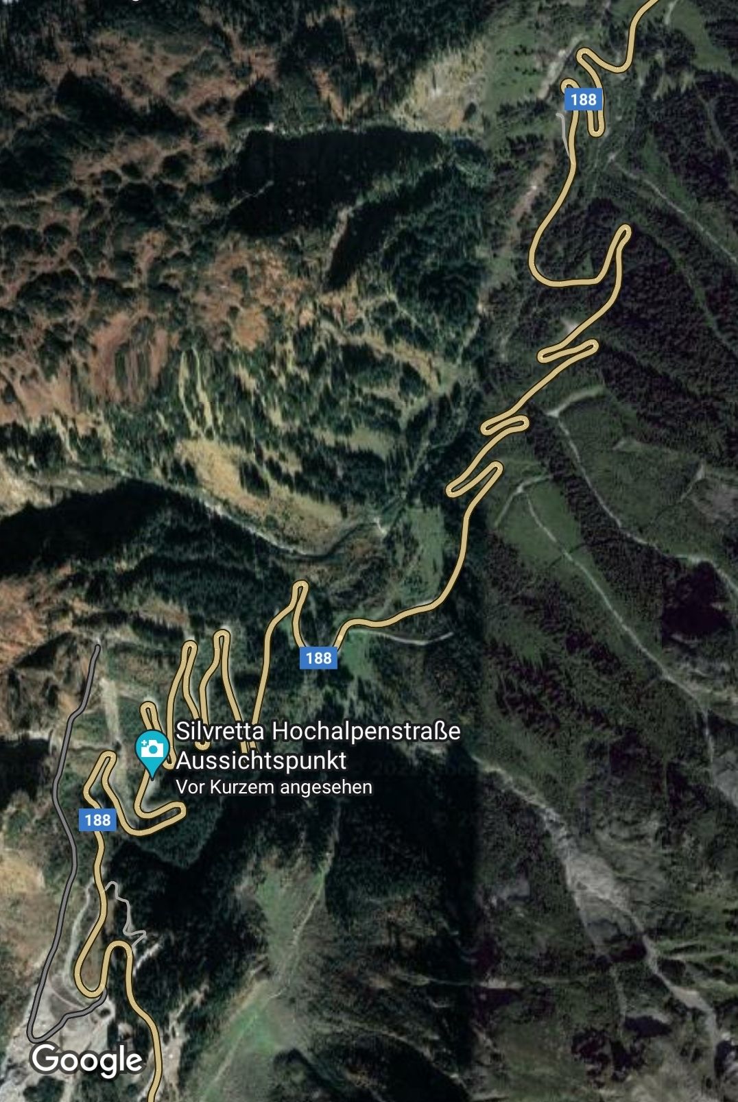
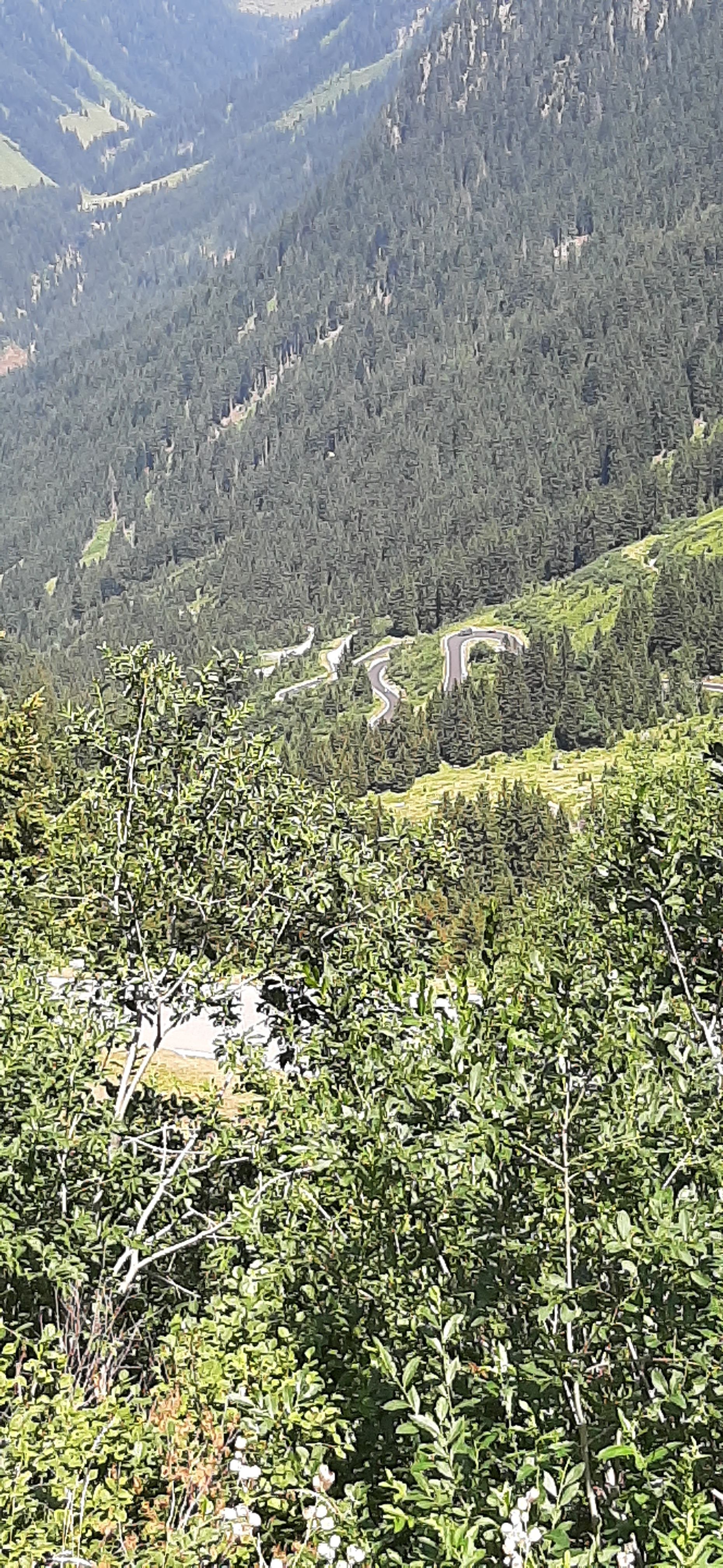
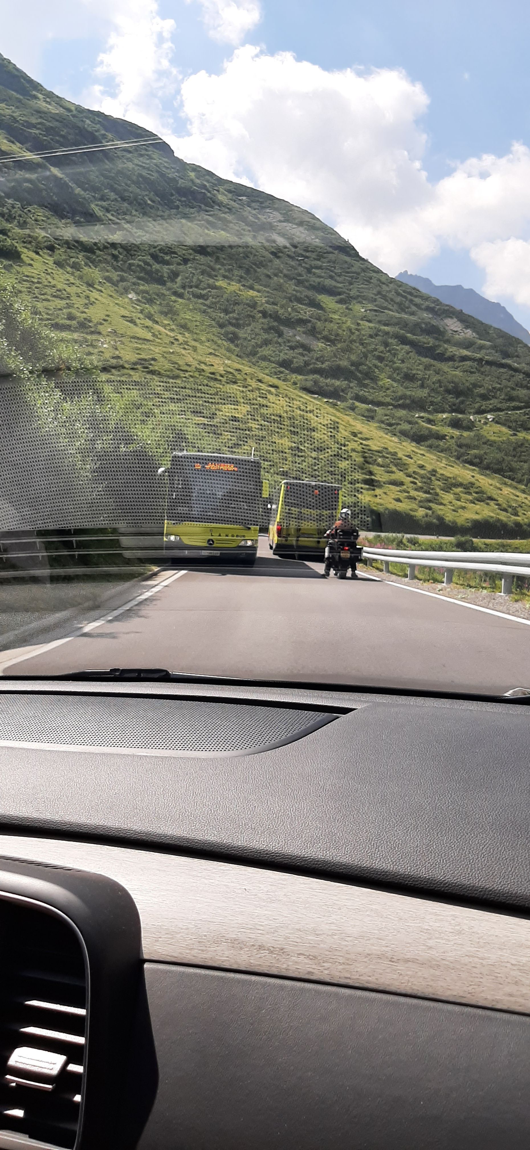
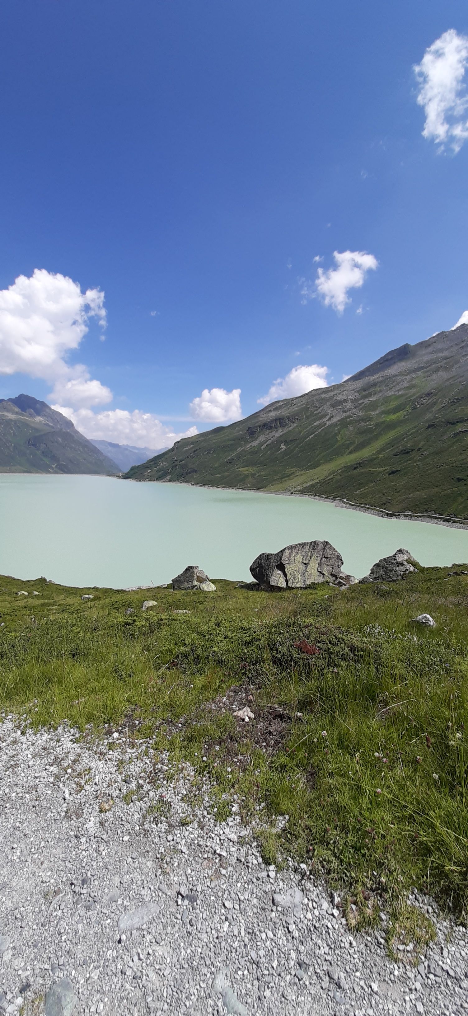
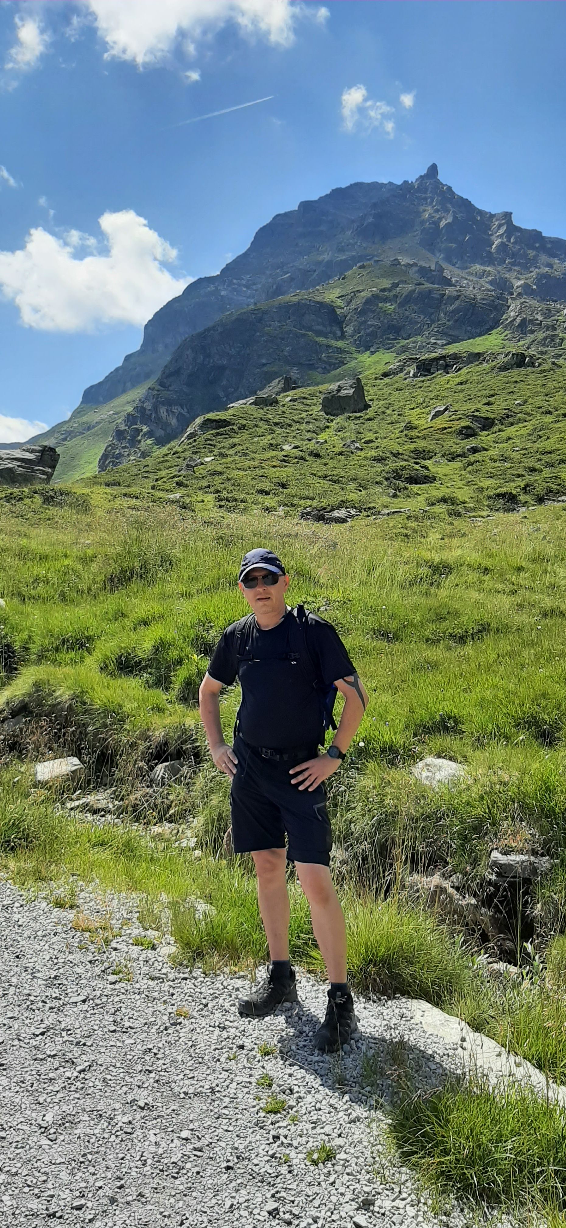
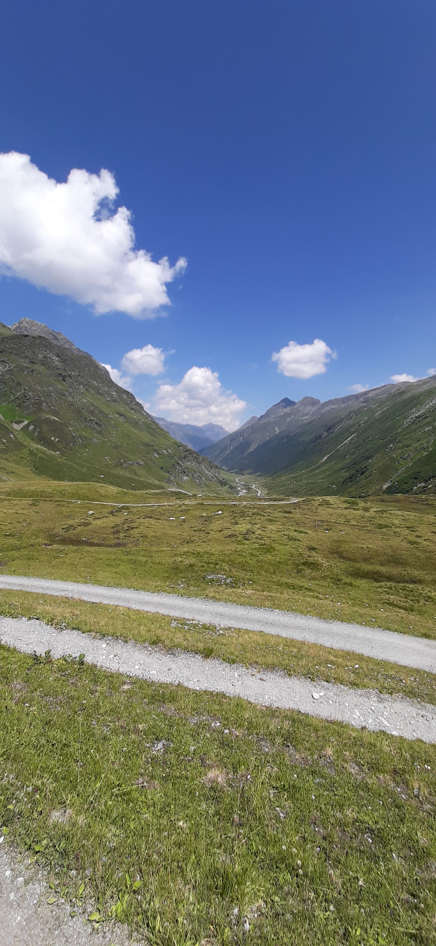
The winner of yesterday's game of Yahtzee has chosen today's excursion: André wished for a circular hiking trail around the Silvretta Reservoir. So after breakfast, we headed southeast on the road until we reached the toll station in Partenen. Thanks to the leisure passes, we didn't have to pay anything. In winter, the Silvretta High Alpine Road is completely closed, and when you look at the map, you can see why. Curve after curve after curve, and always higher... I have to admit, I was a bit nervous! When two buses meet, you can't help but hold your breath...
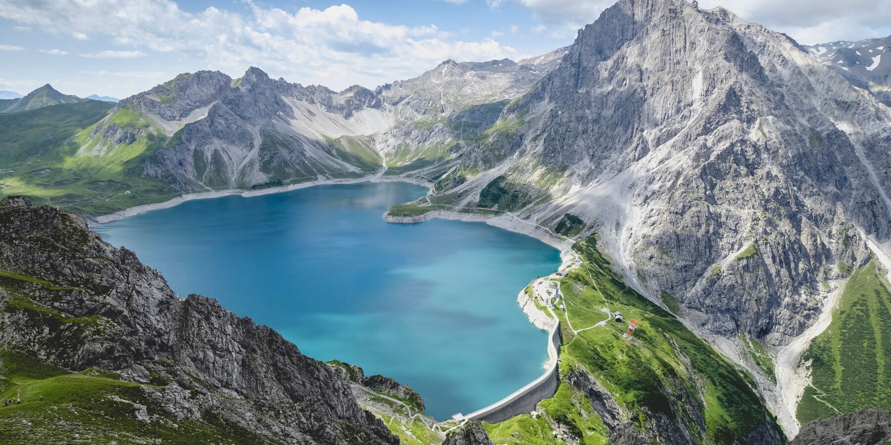
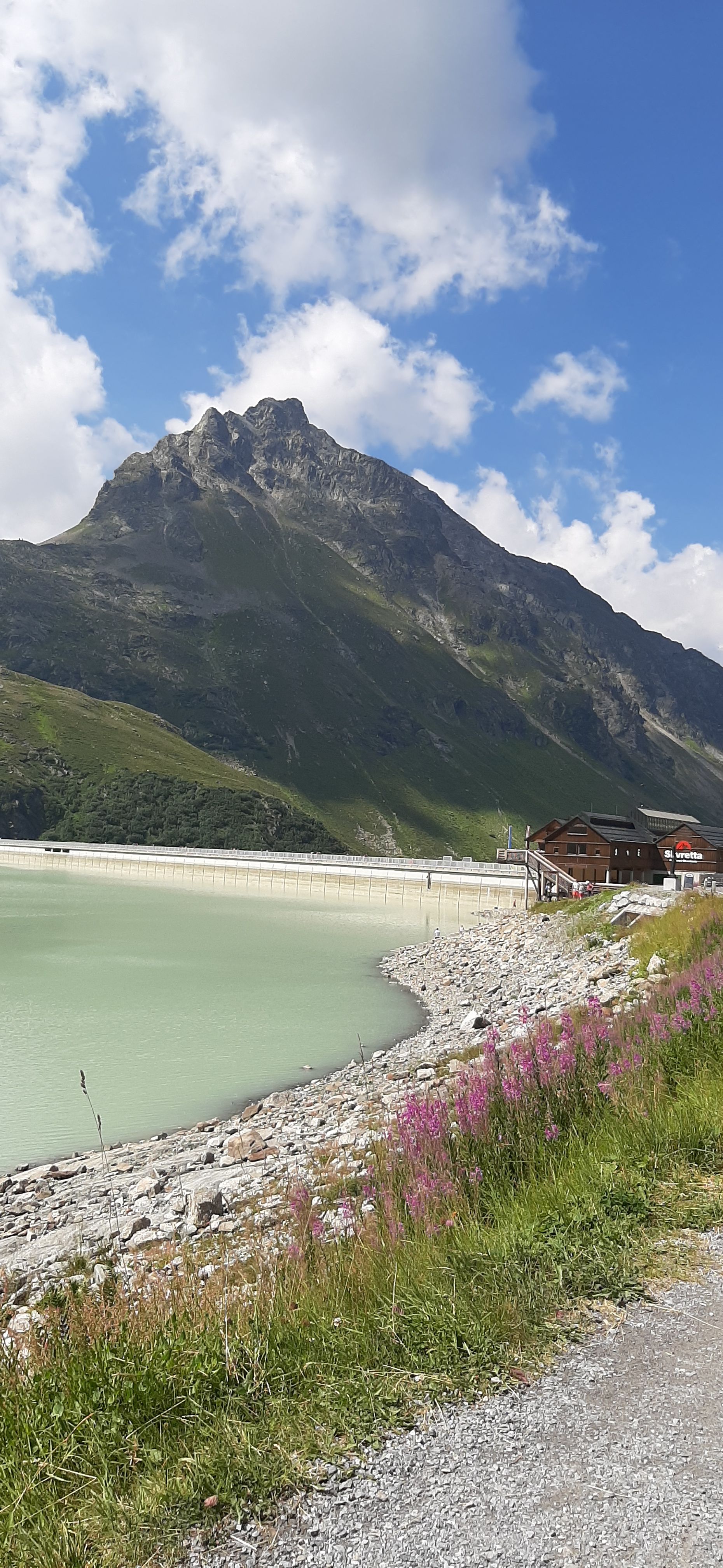
After a good half hour, we reached the lake, just like many others on this hot, sunny summer Sunday. We parked the car in an empty spot on the side of the road, put on our backpacks, and off we went.
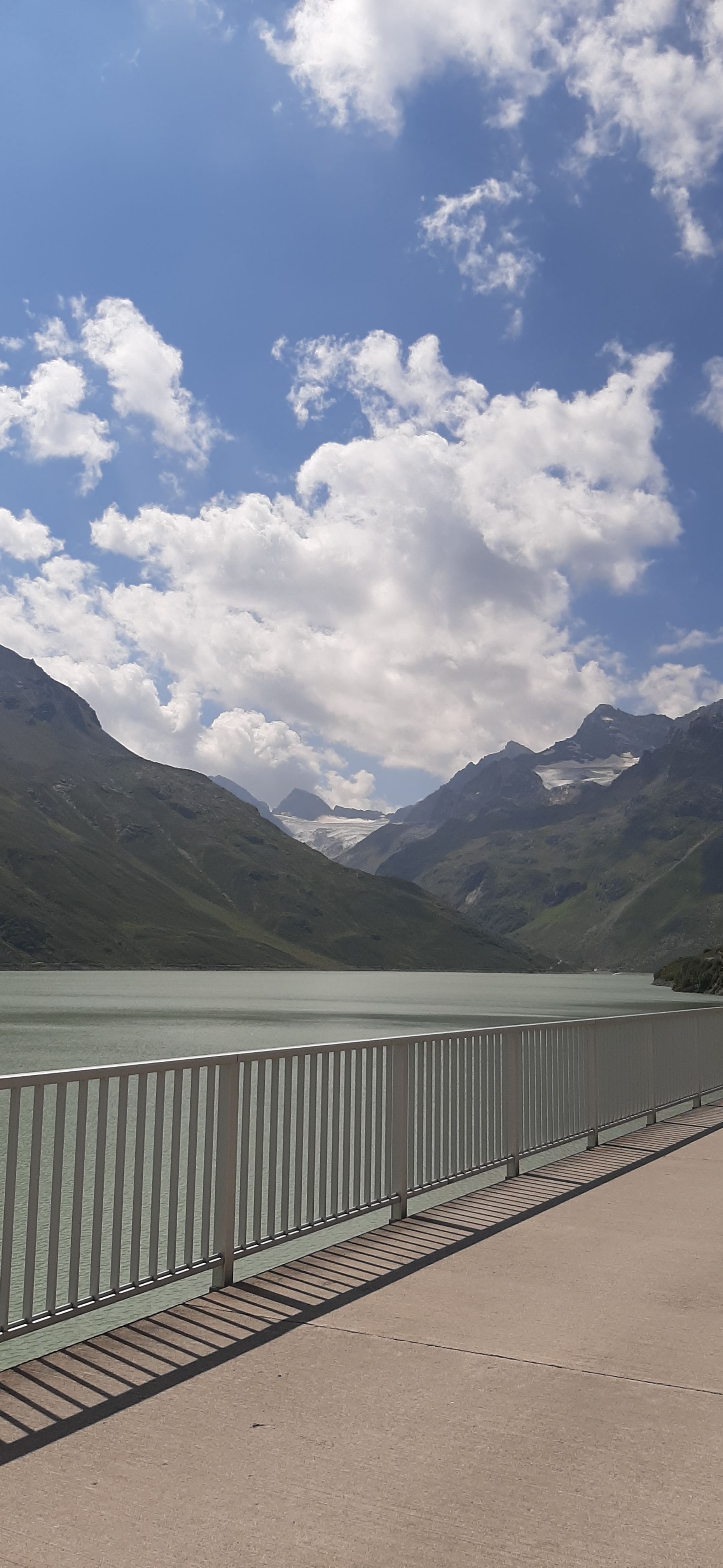
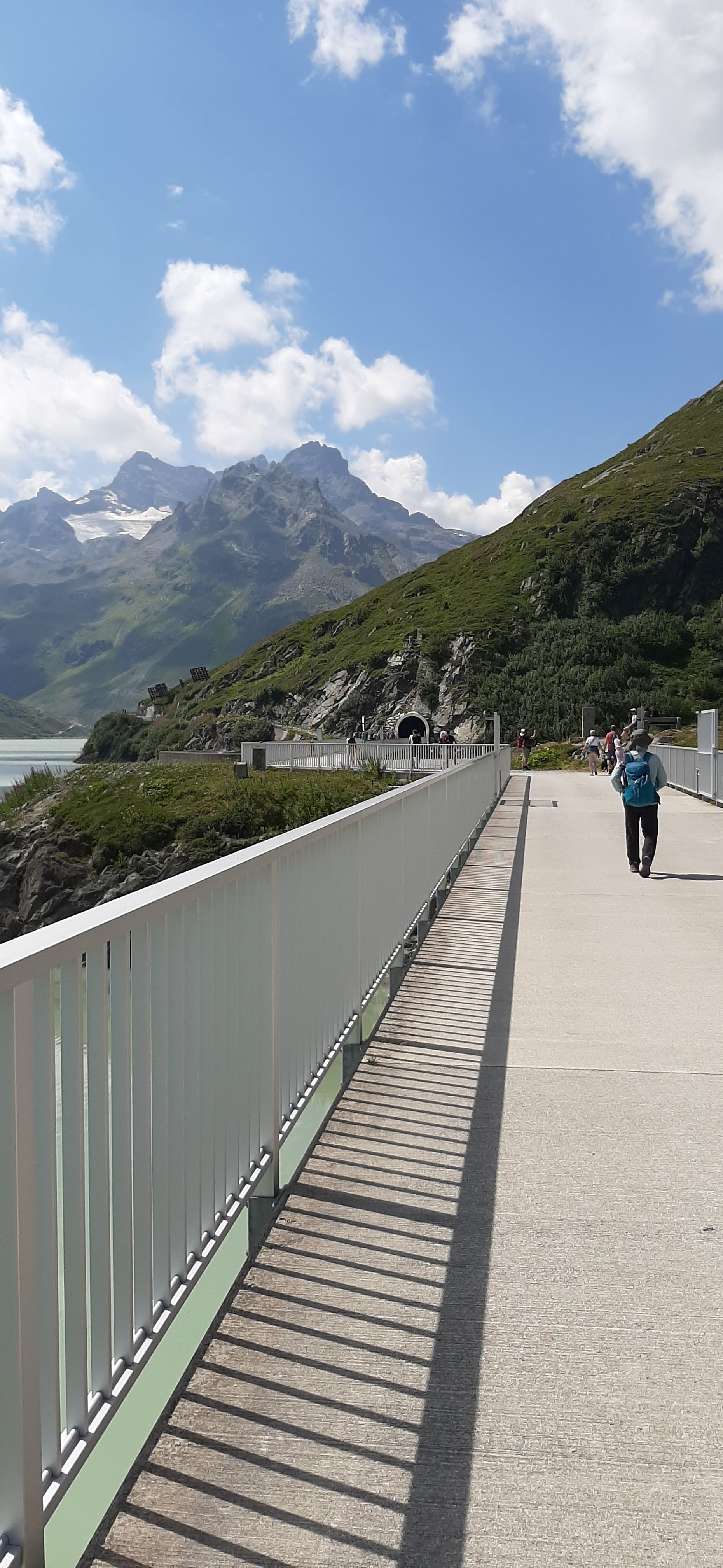
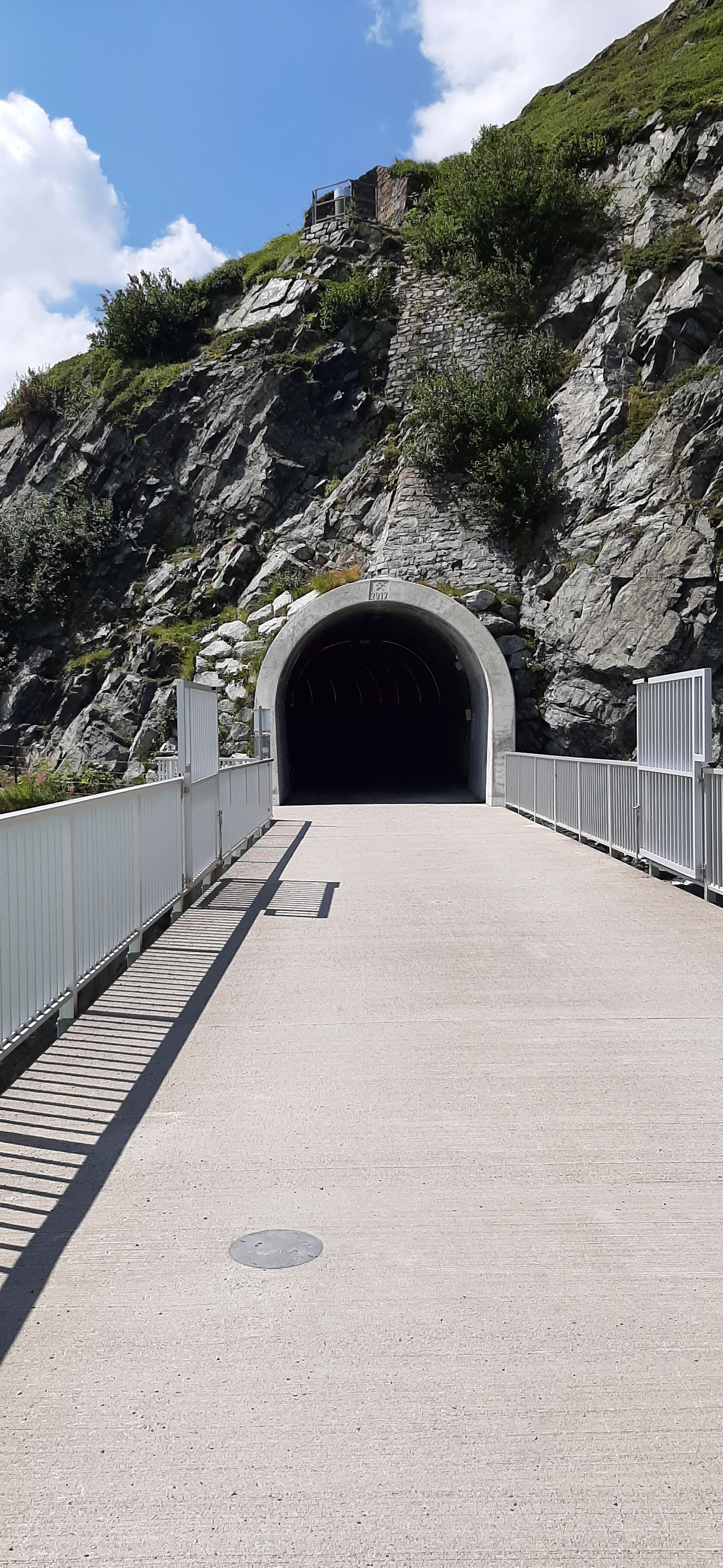
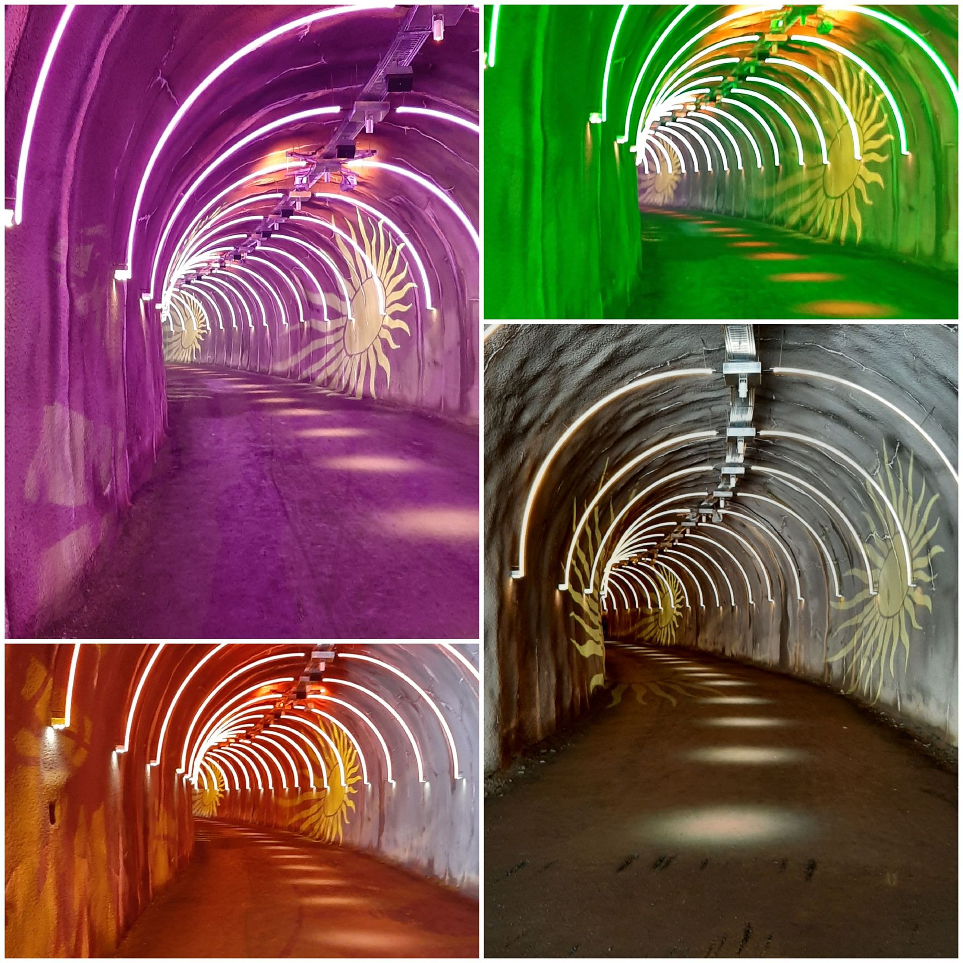
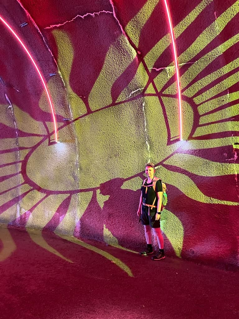
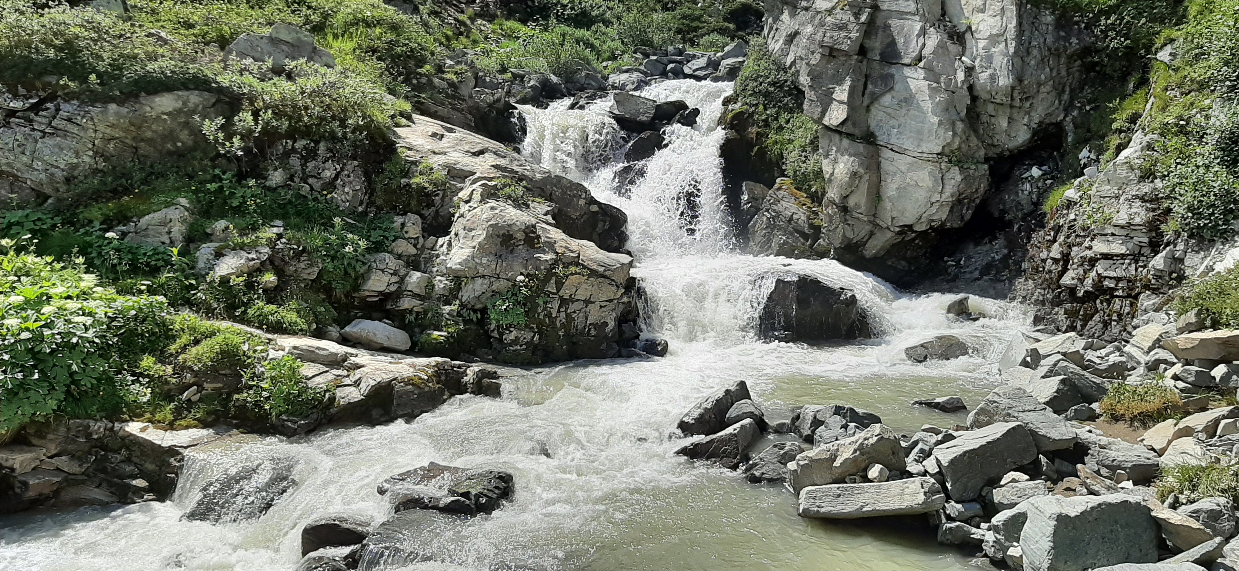
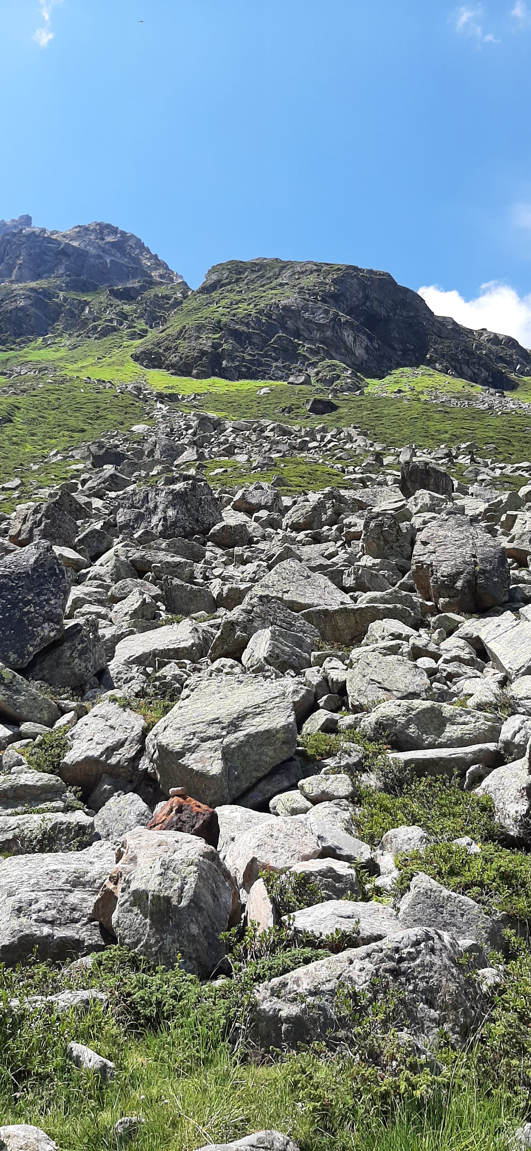
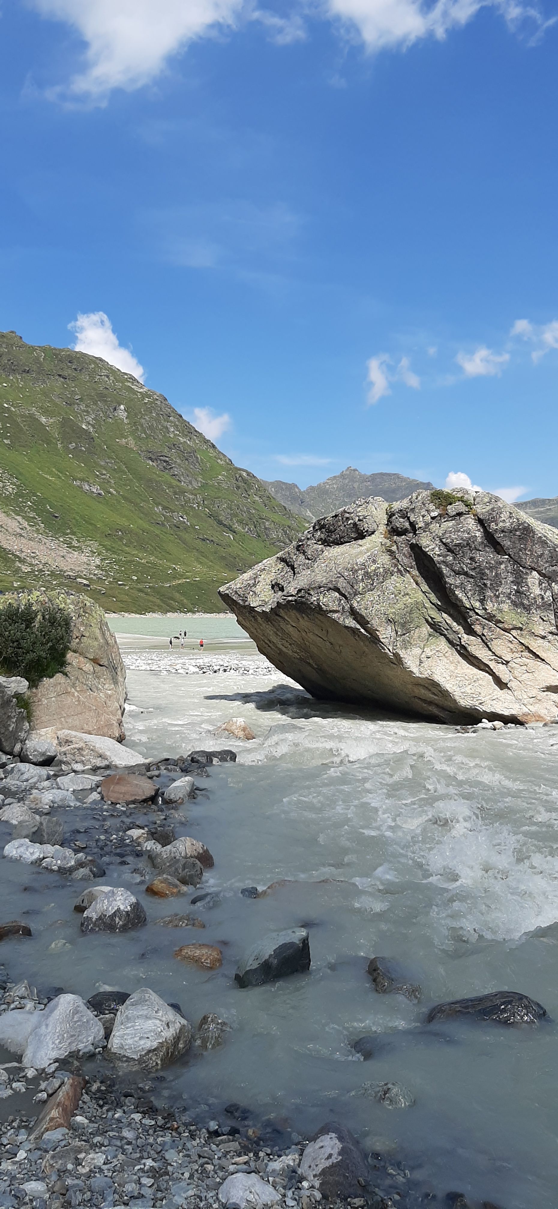
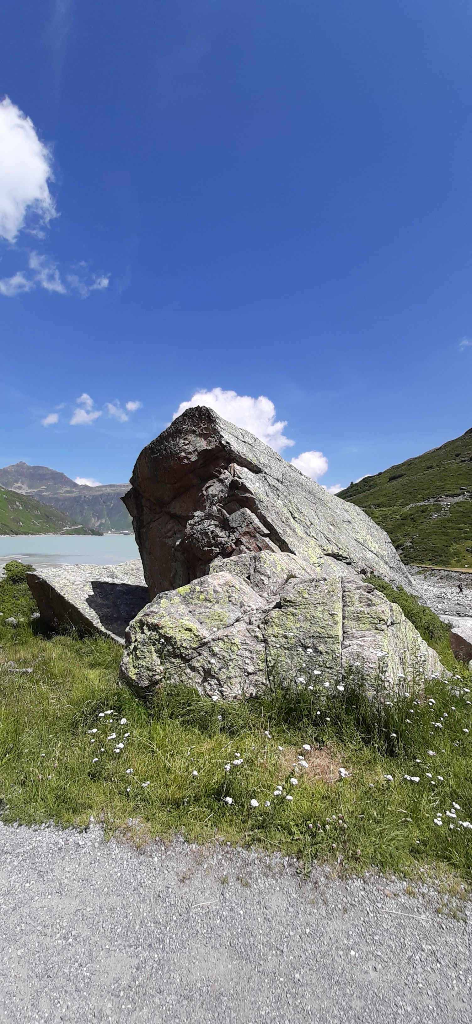
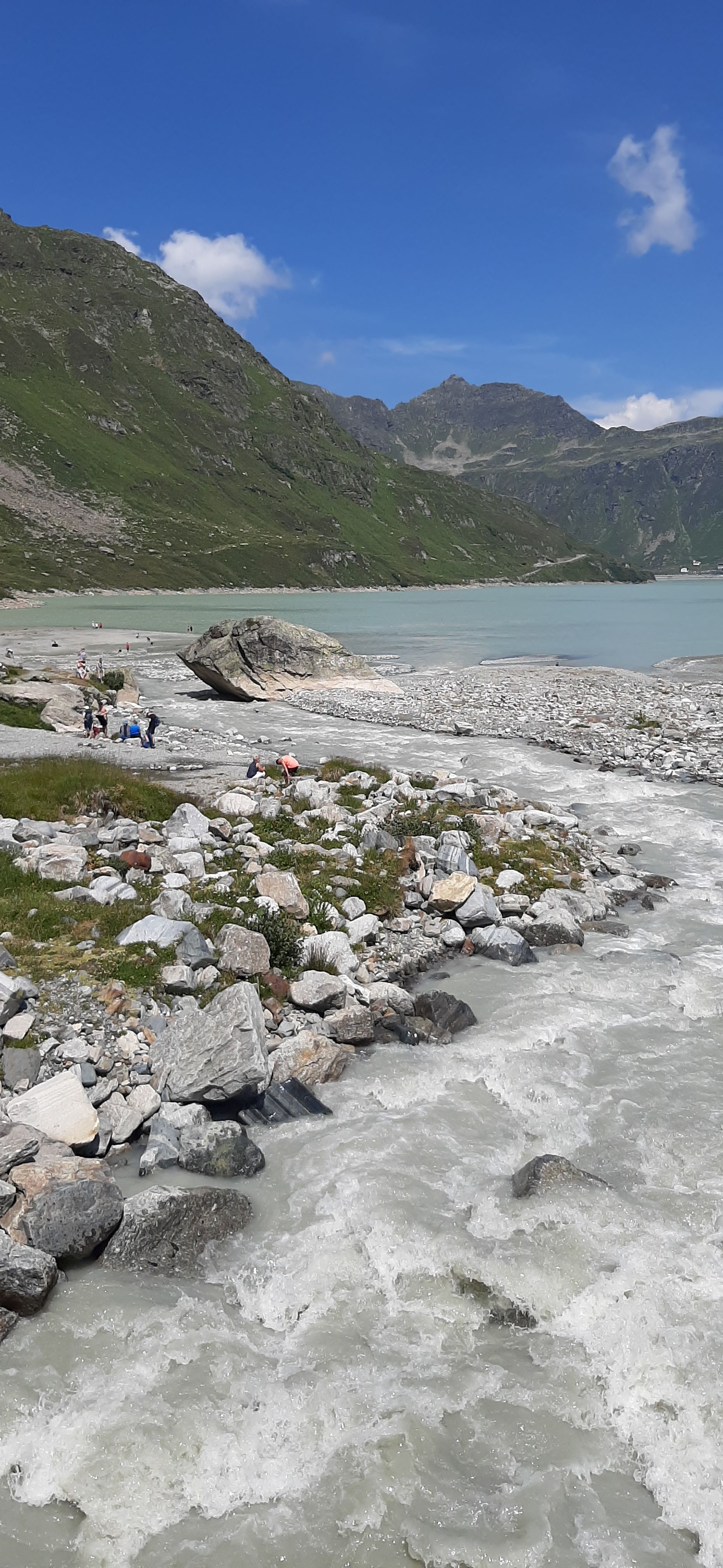
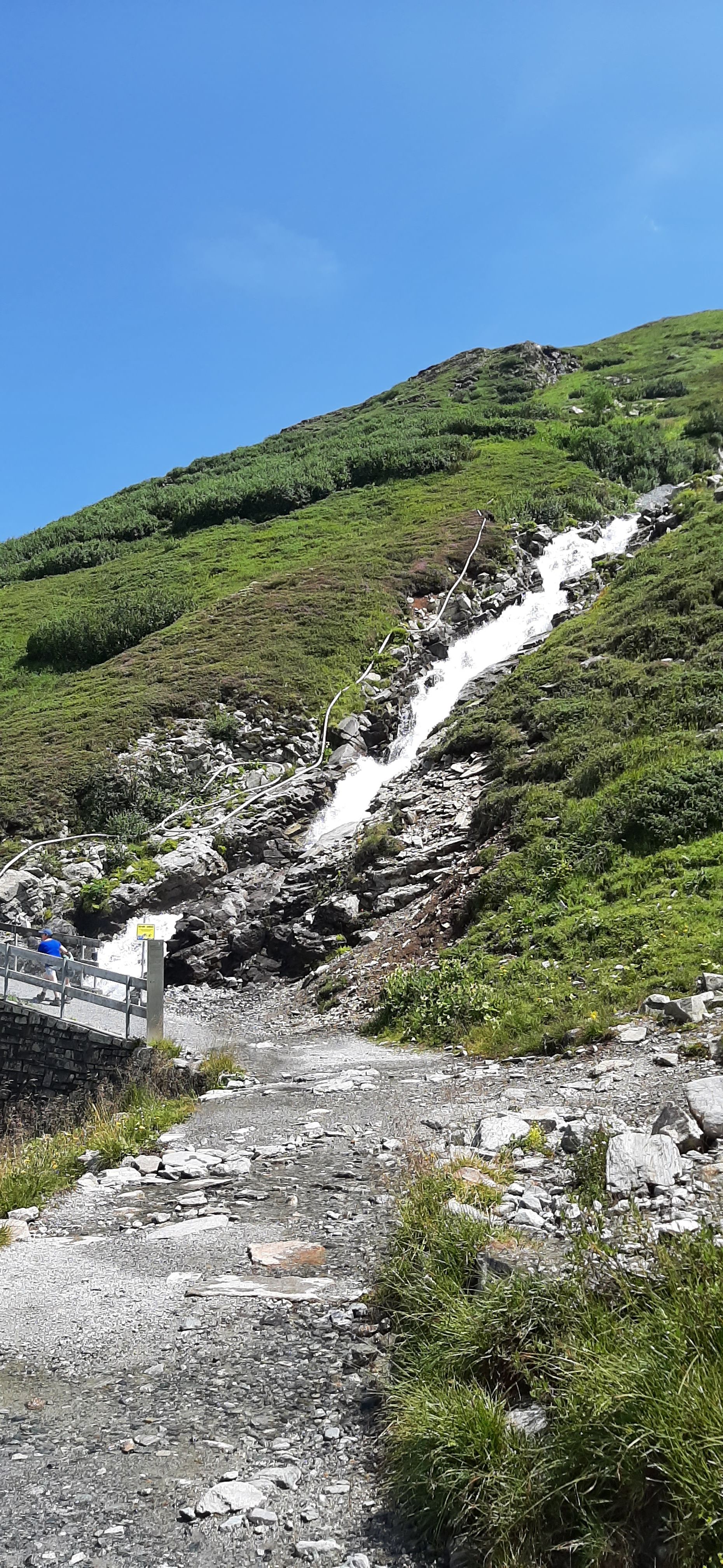
The circular trail of the reservoir, located at an altitude of 2030m, started at the main dam until we reached the light tunnel. There, a light and audio installation shows the current weather with changing colors. The hiking trail led us further over gravel, past small stones, larger rocks, and huge boulders. Streams of mountain water trickled down from the slopes. On the southern side of the lake, there was a huge waterfall on one side, leading into the lake, and on the other side, a few meters away, you could walk down to the water at a shallow spot. But swimming is naturally prohibited there.
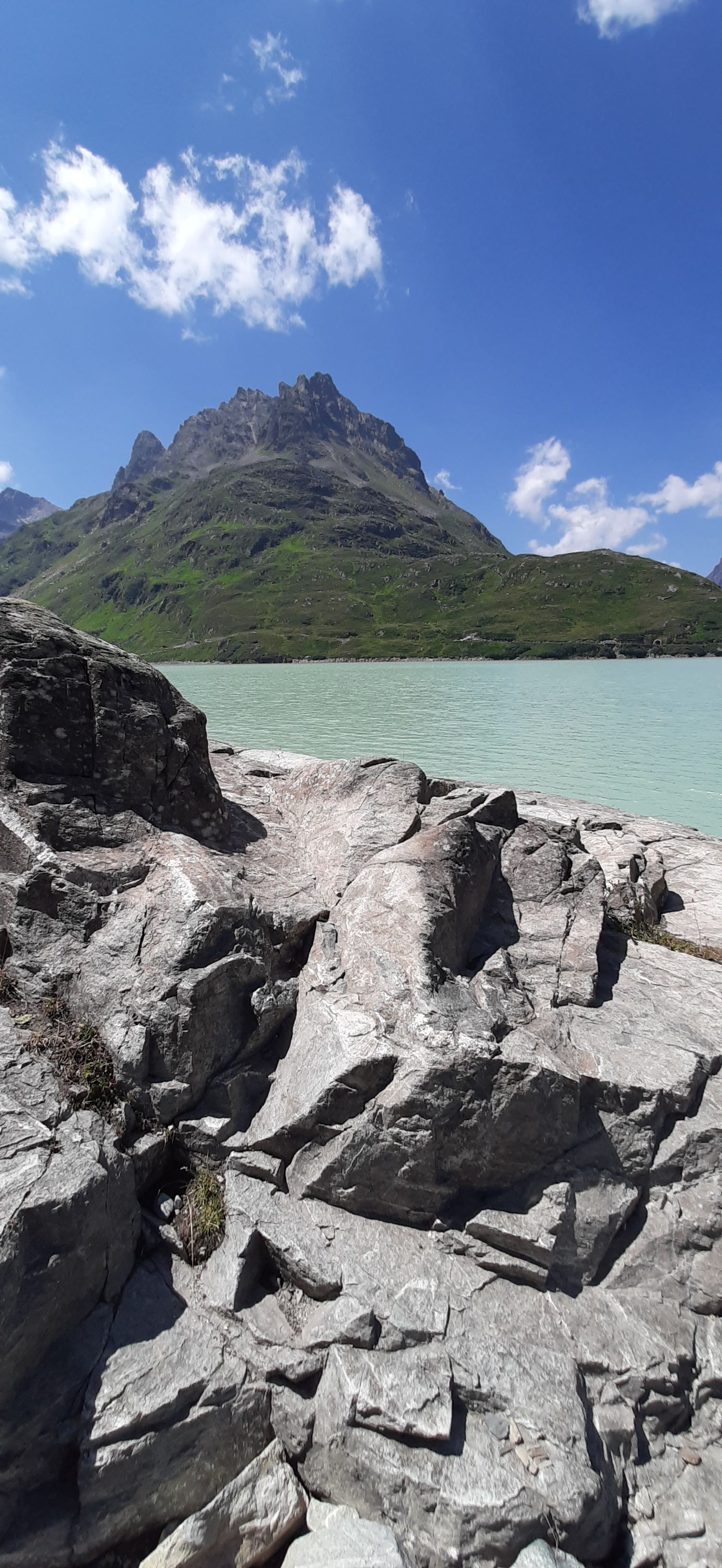
We took photos like crazy, what you see here is just a small selection of them.
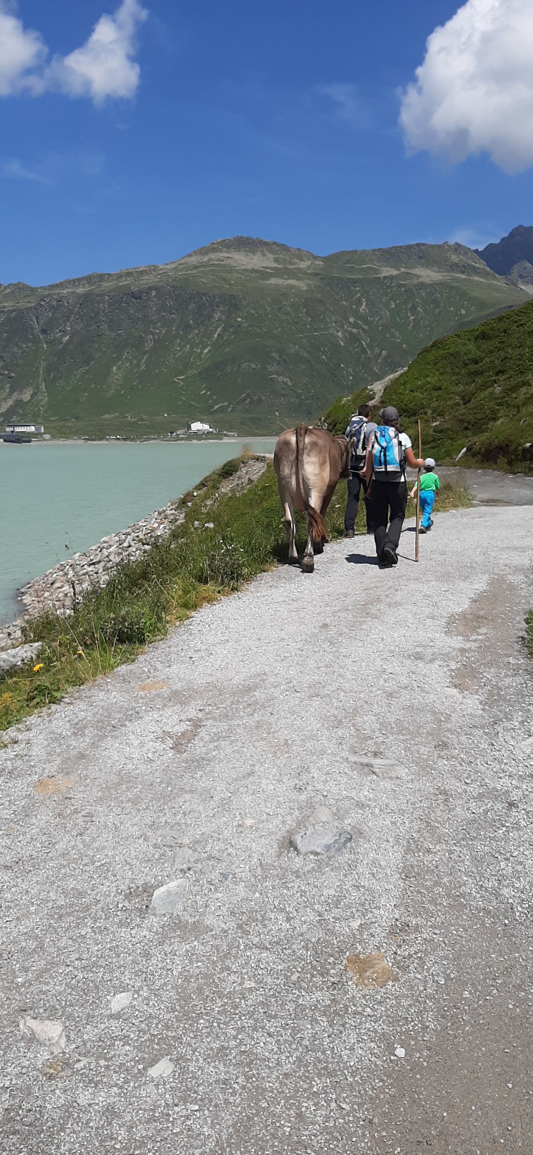
We continued along the eastern side of the lake, past numerous waterfalls and streams that made their way from the mountains into the lake. At some point, a family with a cow walked in front of us, apparently bought from the local farmer.
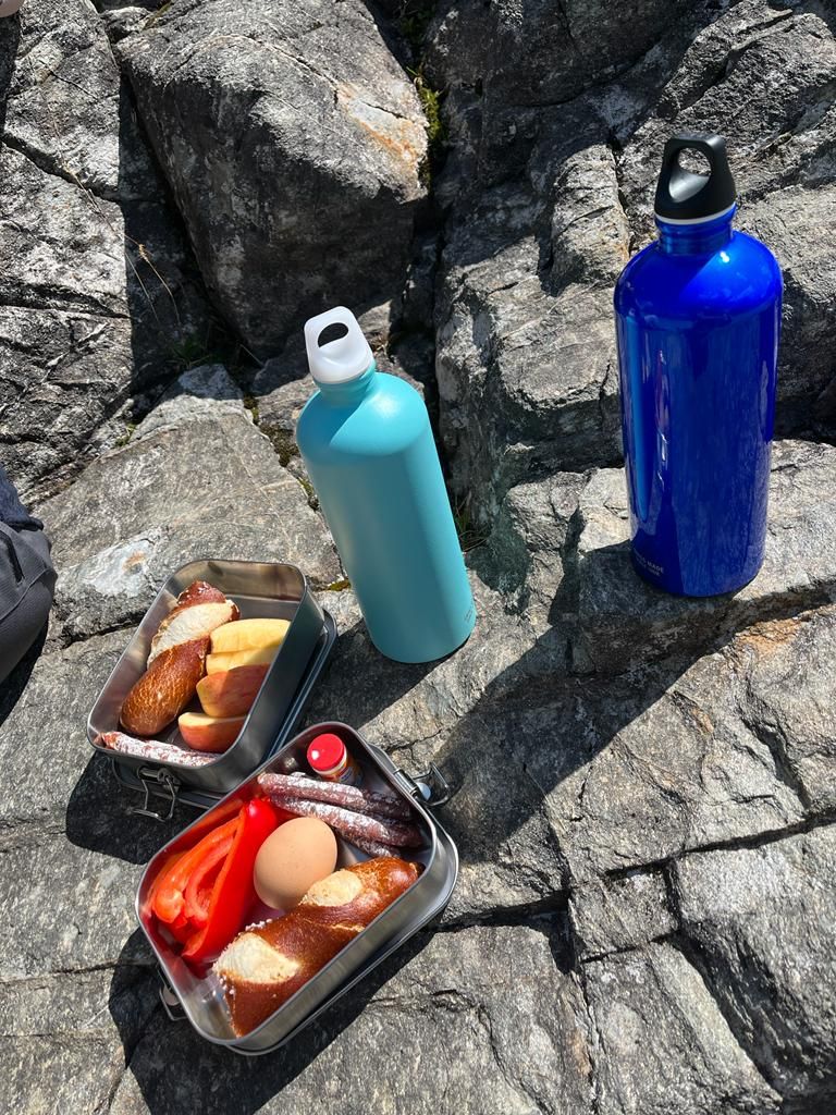
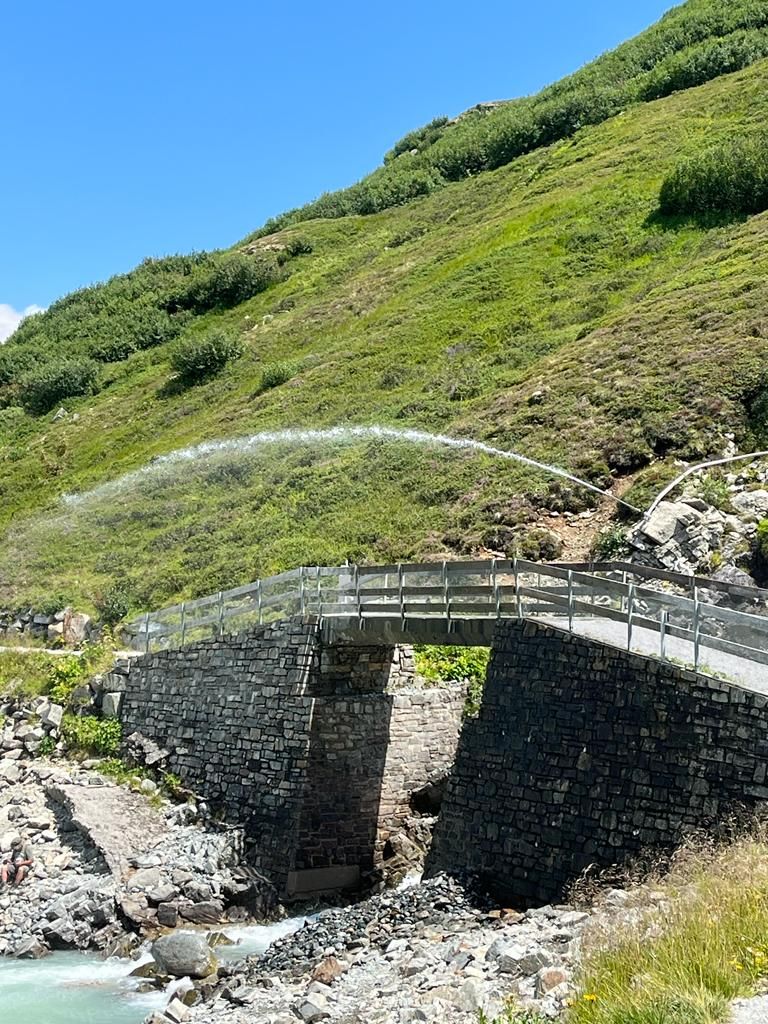
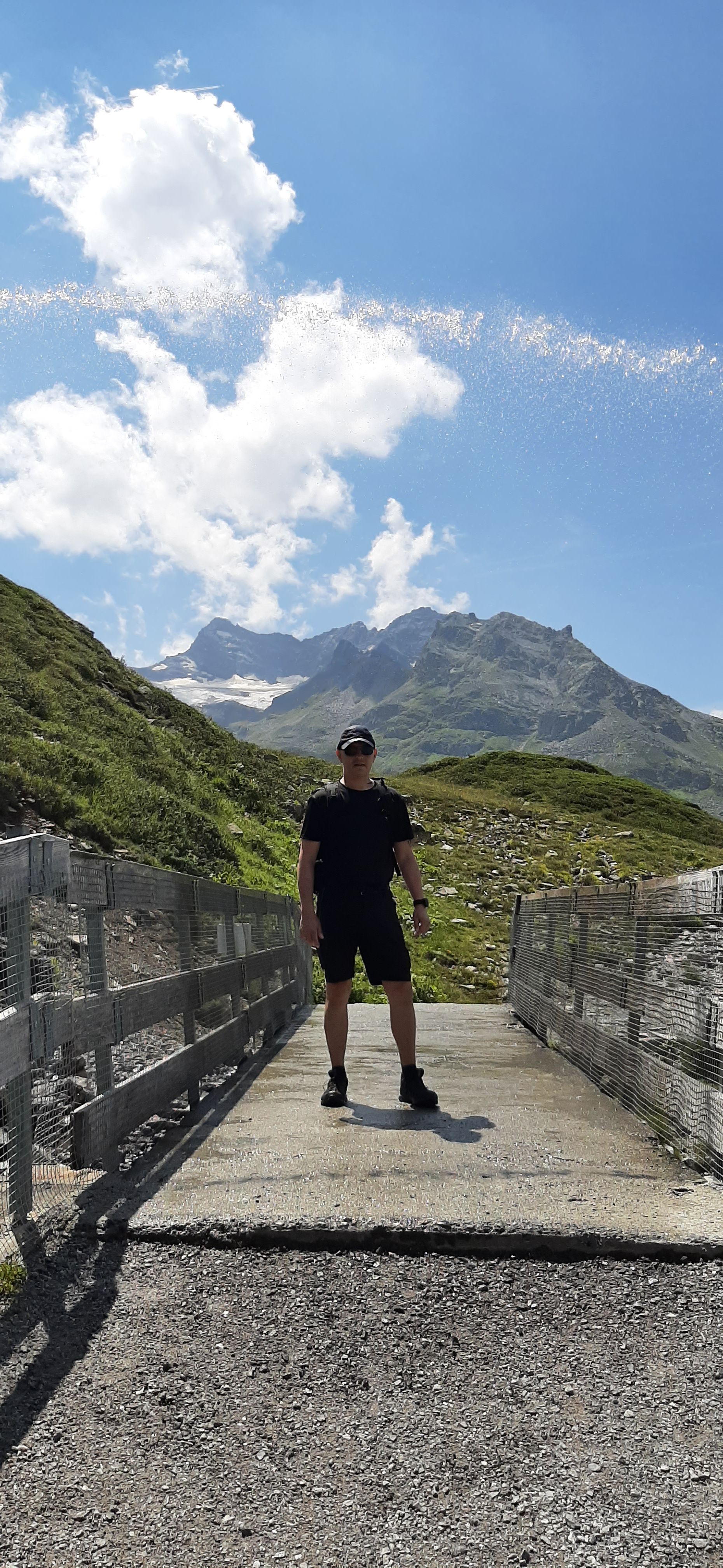
A rocky promontory on the shore then invited us as an ideal picnic spot. After being refreshed, we walked the last meters of the circular trail over a bridge, right past the largest waterfall, which jumps into the lake from the Tyrolean side through the mountain ridge. An artist came up with an installation there, diverting water from it through a fire hose and spitting it out over the bridge, so that you get a little wet when you walk underneath (you have to, there is no other option).
We then returned to the parking lot via the second dam. After about 2 hours, we had completed the approximately 6.5 km long circular trail, constantly surrounded by the mountains of Vorarlberg and Tyrol - because that's exactly where the border between the two states runs. There are said to be 18 mountains over 3000m high, but we didn't count them.
It was once again a very nice tour, not too challenging (yet), but still incredibly impressive and breathtaking.
We drove back to St. Gallenkirch via the incredible Silvretta High Alpine Road, where André now wonders about his sunburn on his arms and neck. It's not like we didn't bring sunscreen 🤷♀️ Anyway, I was so disciplined (and only have sore muscles in my legs...)
Tomorrow it's my turn to plan the excursion. I already have an idea...
Stay cheerful
Tina & André