Glacier hike at Nigardsbreen
已发表: 14.07.2022
订阅时事通讯
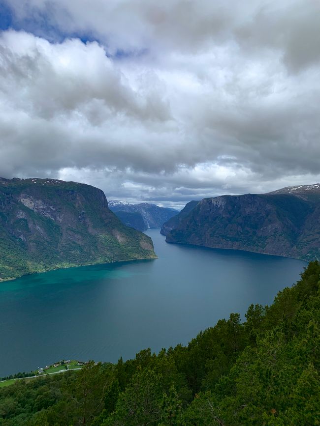
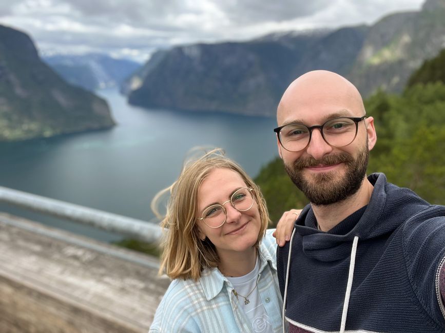
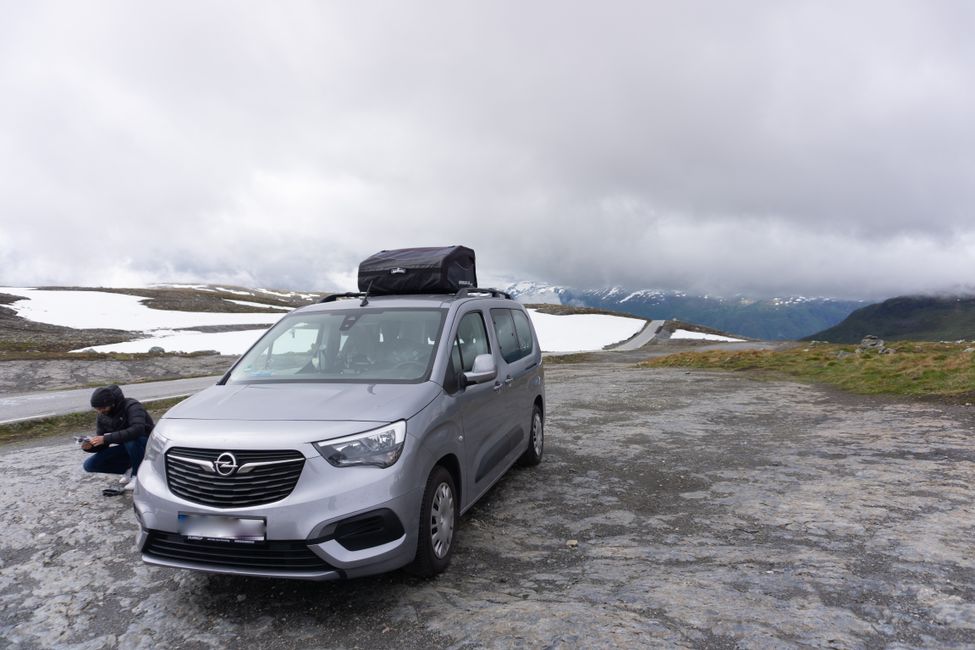
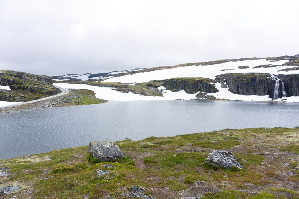
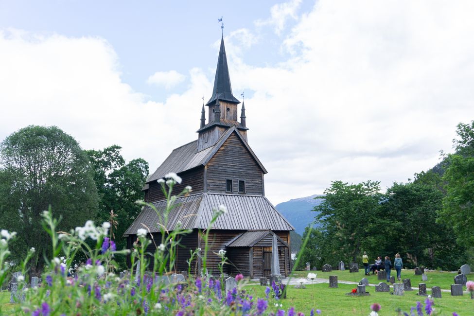
On 7.7.22 we set off from Flåm to Jostedalsbreen National Park. The path initially leads us up a winding road to the Stegastein viewpoint, where we have a great view of the Aurlandsfjord. We continue on the beautiful scenic route of Aurlandsfjellet over a pass, where we experience icy winds and snow (it's only 5°C in some parts). We briefly stop at the Kaupanger Stave Church in the valley.
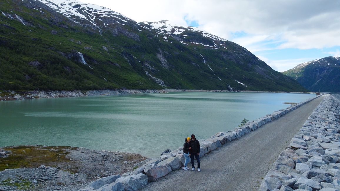
The sky clears up a bit as we slowly approach Jostedalsbreen. We turn off to a reservoir about 30 minutes before Gjerde and once again fly the drone.
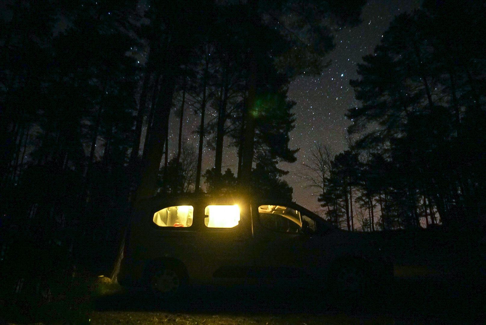
We spend the night at a milky turquoise river all alone at a picnic area, where we quickly cook something and prepare our things for tomorrow's glacier tour.
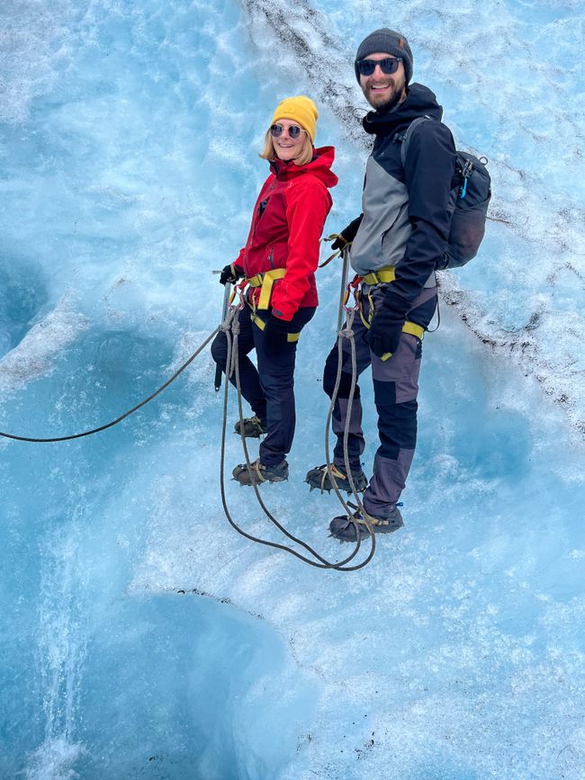
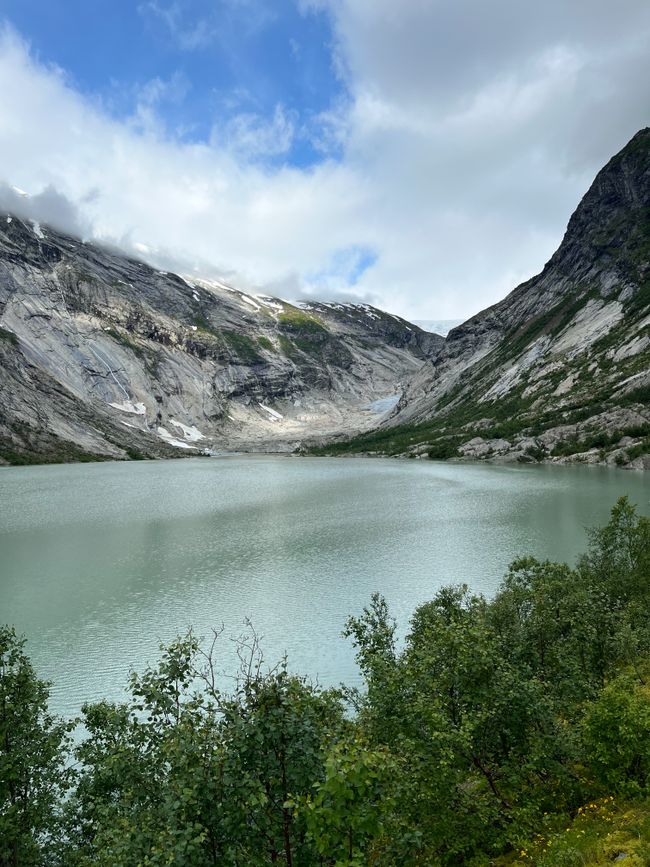
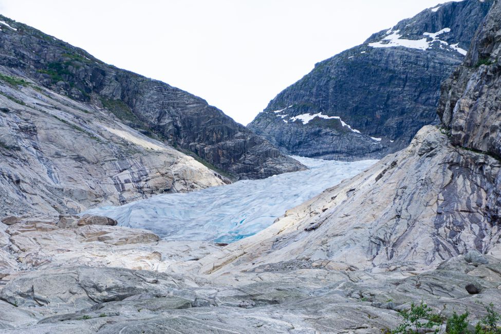
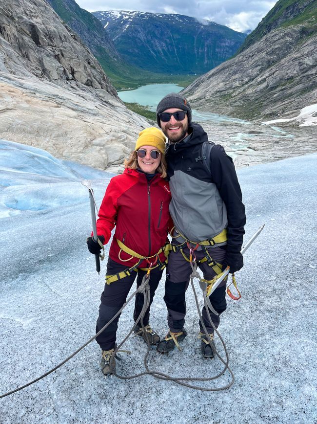
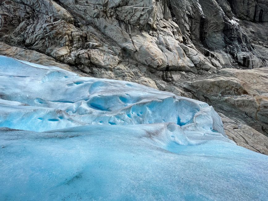
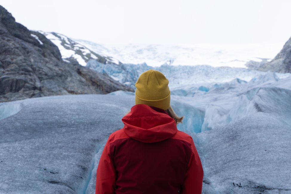
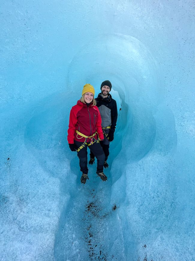
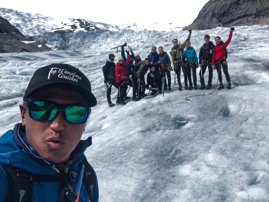
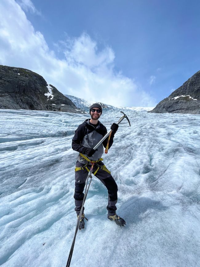
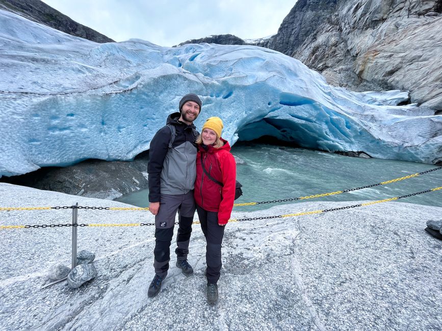
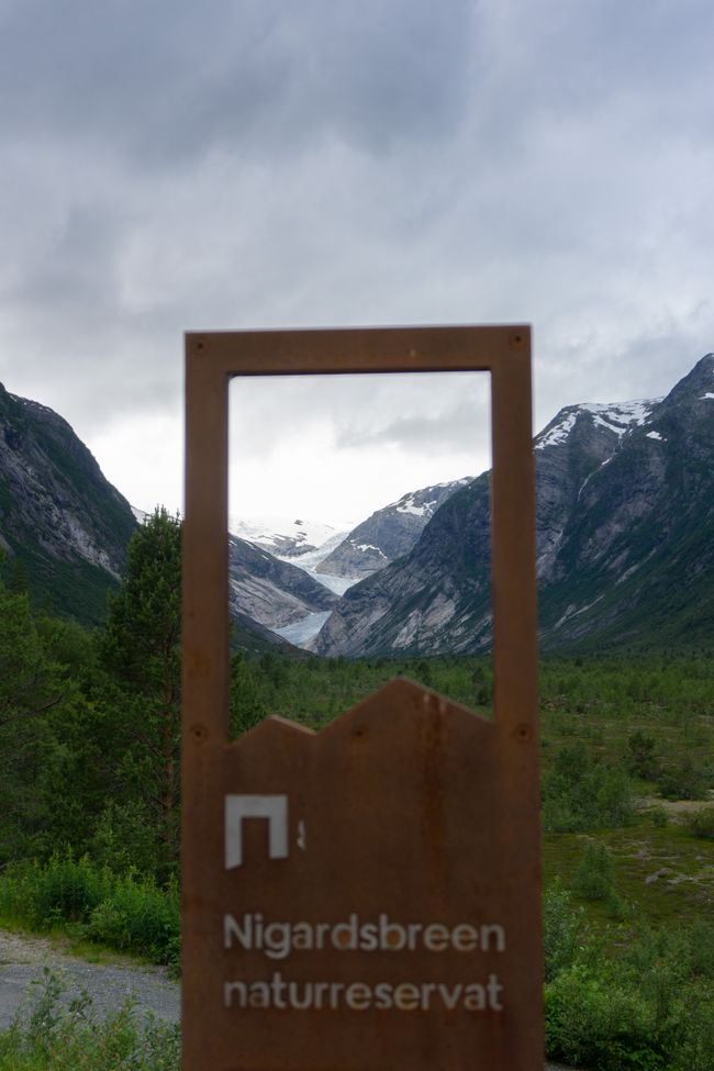
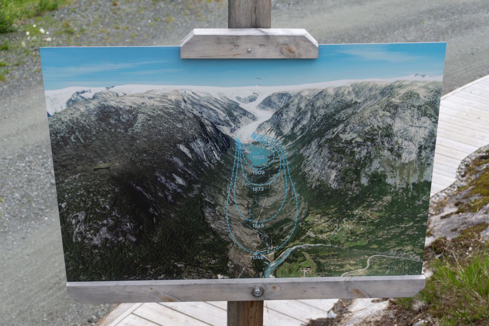
In the morning of 8.7.22, we drive through Gjerde to the parking lot of Nigardsbreen, a branch of the largest mainland glacier in Europe, Jostedalsbreen. Important side note: It's not raining! After everyone receives their crampons and ice axes from the guide, our group trudges to a small motorboat that takes us across a lake to the foot of the glacier. As the glacier has receded further with climate change in recent decades, we walk for another half an hour until we reach the ice. Then we are tied together in a row with climbing harnesses and ropes, and we take our first steps on the glacier with crampons. We can already see the first ice blue crevasses. Water flows in front of us, behind us, beside us, beneath us - everywhere. It's a somewhat uneasy yet incredibly impressive feeling... We are led further up the glacier and finally take a break at a small glacier cave. Its walls are incredibly smooth and filled with small air bubbles. According to the guide, not every group makes it this far, and because we are so fast, we still have time to go a little further and even take a detour, but in the end, we can't go any further. The group practically runs back down the glacier, and we are relieved that once we reach the bottom, we can move around freely instead of being tied to the group. On the way back to the boat, we pass by a very large ice cave from which the glacier river, where we camped yesterday, flows into the valley. This glacier hike was truly a unique experience! (PS: We didn't get a single raindrop during the hike!)
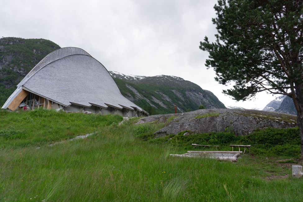
We meet the Dutch people from our hiking group again at the Glacier Information Centre, where we have a coffee and exchange travel tips. They give us some cool tips for camping spots on our next journey.
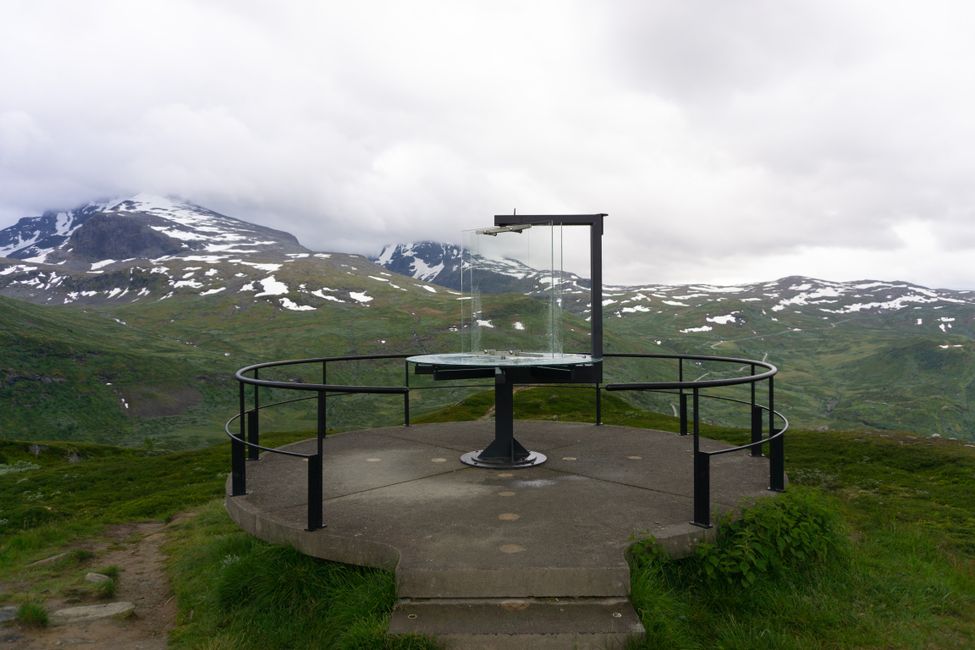
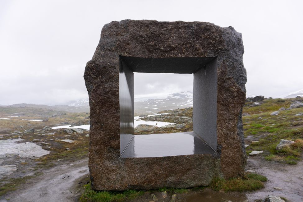
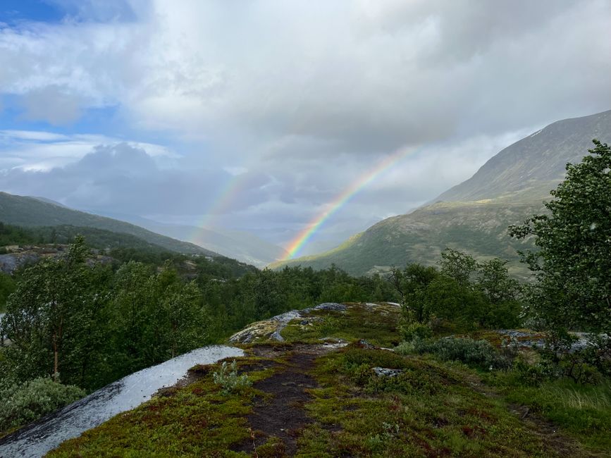
Despite the strenuous hike, our destination for today is still a 5-hour drive to Geiranger Fjord. We take the scenic route Sognefjellet, which once again leads us through snow, high mountains, rain, and rainbows. When we reach the Geiranger Trollstigen, the fog is so thick that we can hardly catch a glimpse of the fjord. At the Vinje Campsite above Geiranger, we warm up with delicious food and a hot shower.
订阅时事通讯
回答
旅行报告挪威
