Bolivia - Copacabana, Lake Titicaca, Isla del Sol
E phatlaladitšwe: 03.07.2018


Ingwadiše go Lengwalo la Ditaba
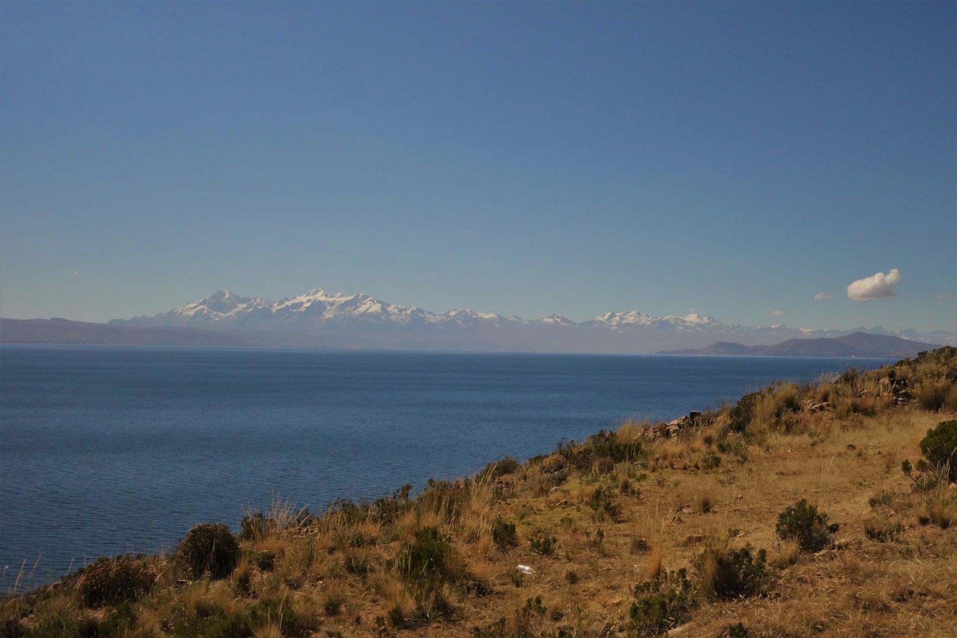
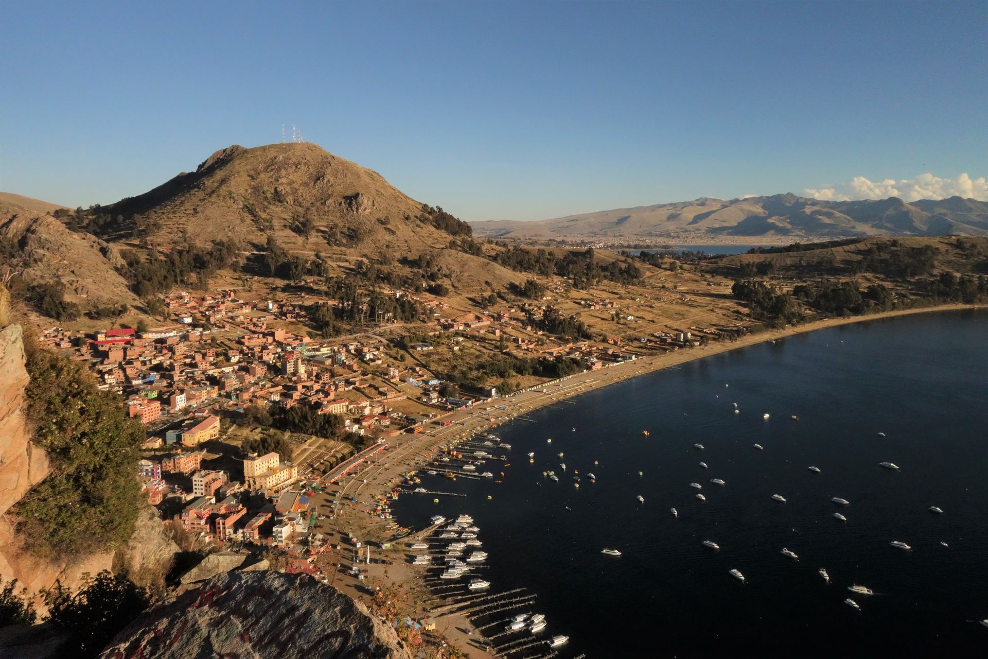
First stop in Bolivia: Copacabana, right on Lake Titicaca.
The left tip is the observation mountain Calvario.
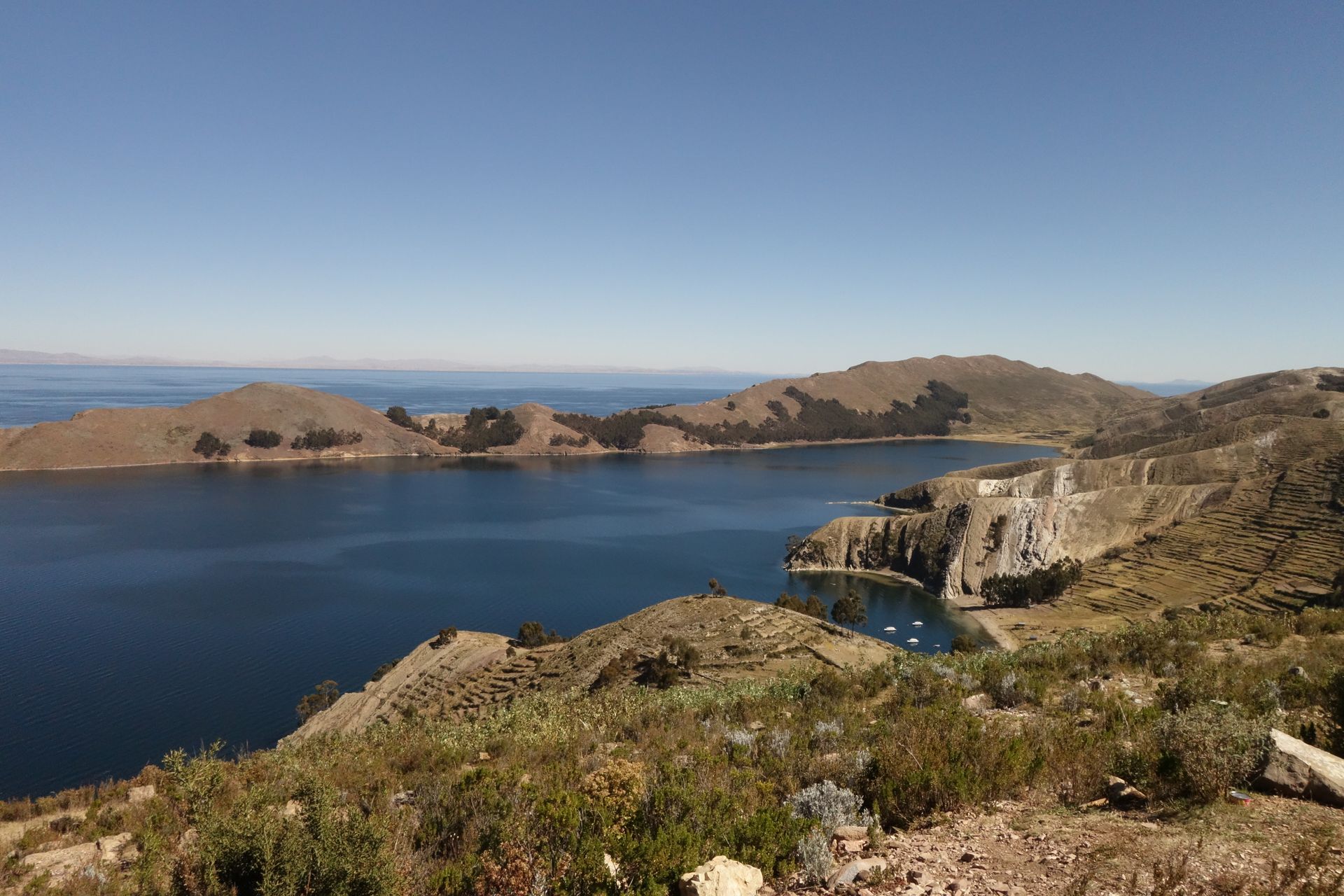
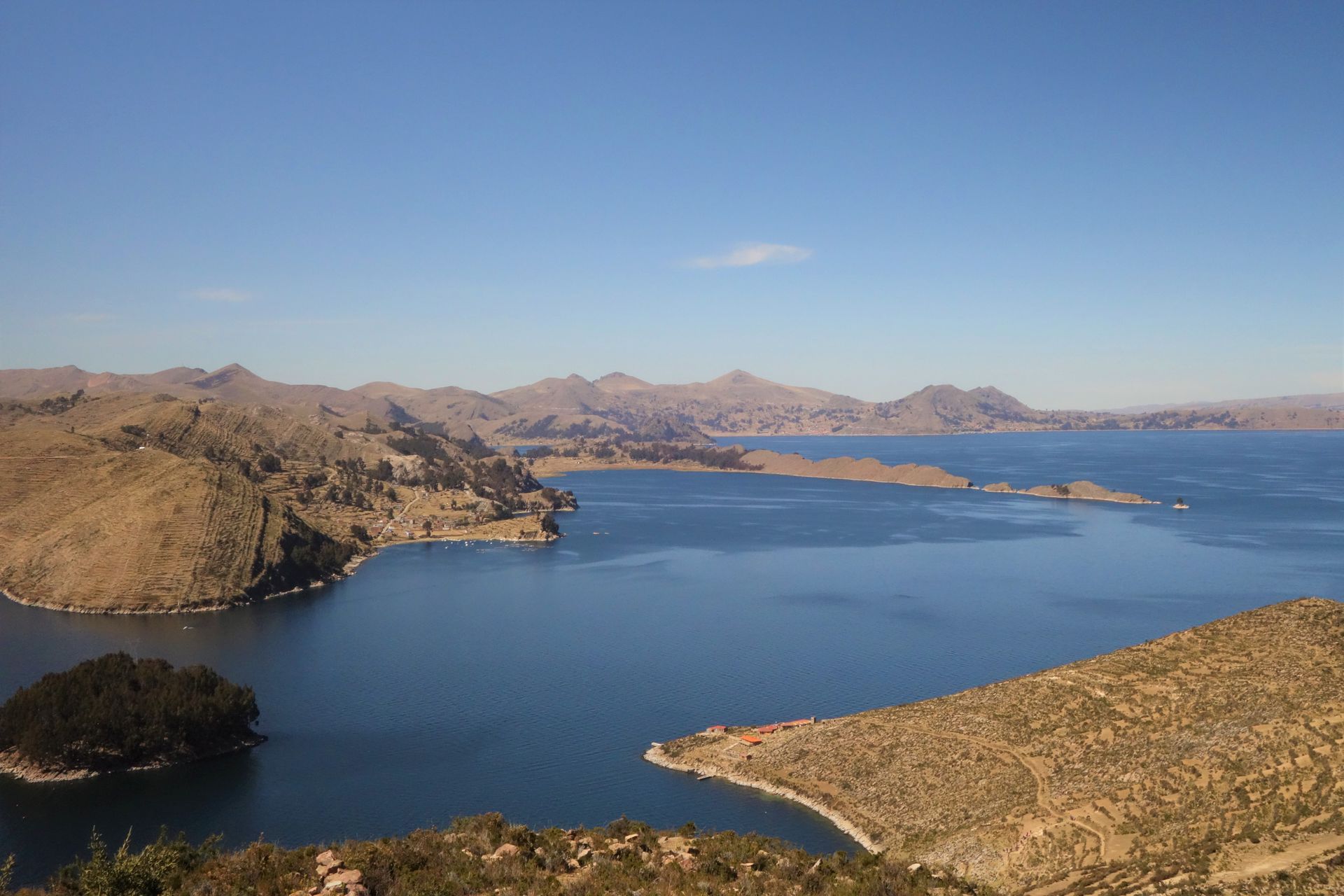
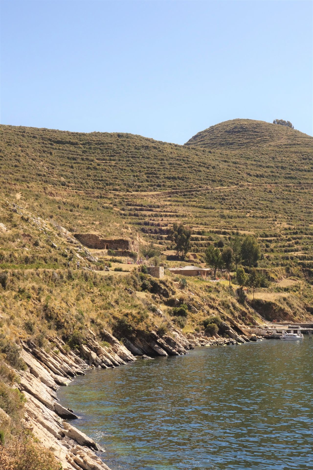
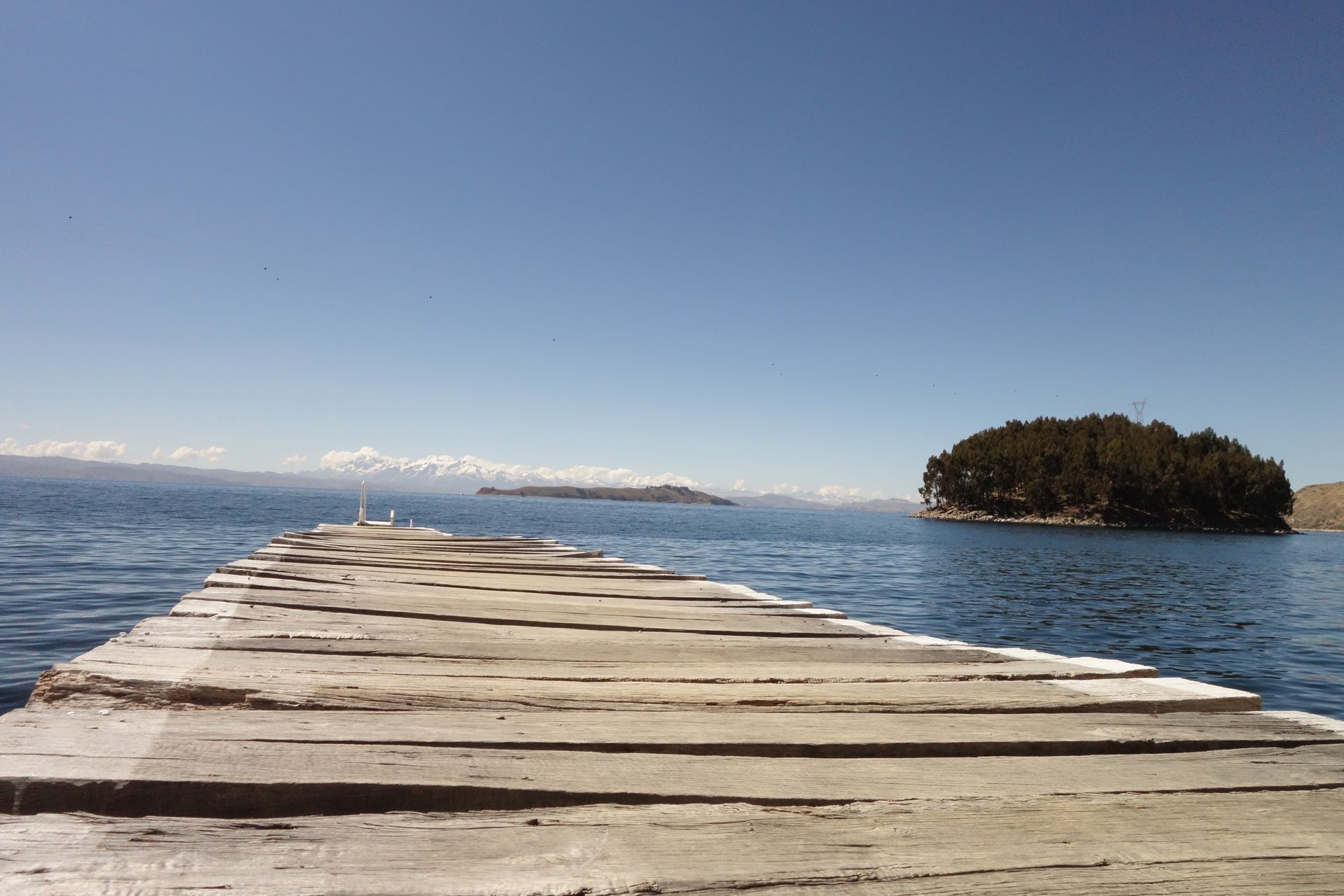
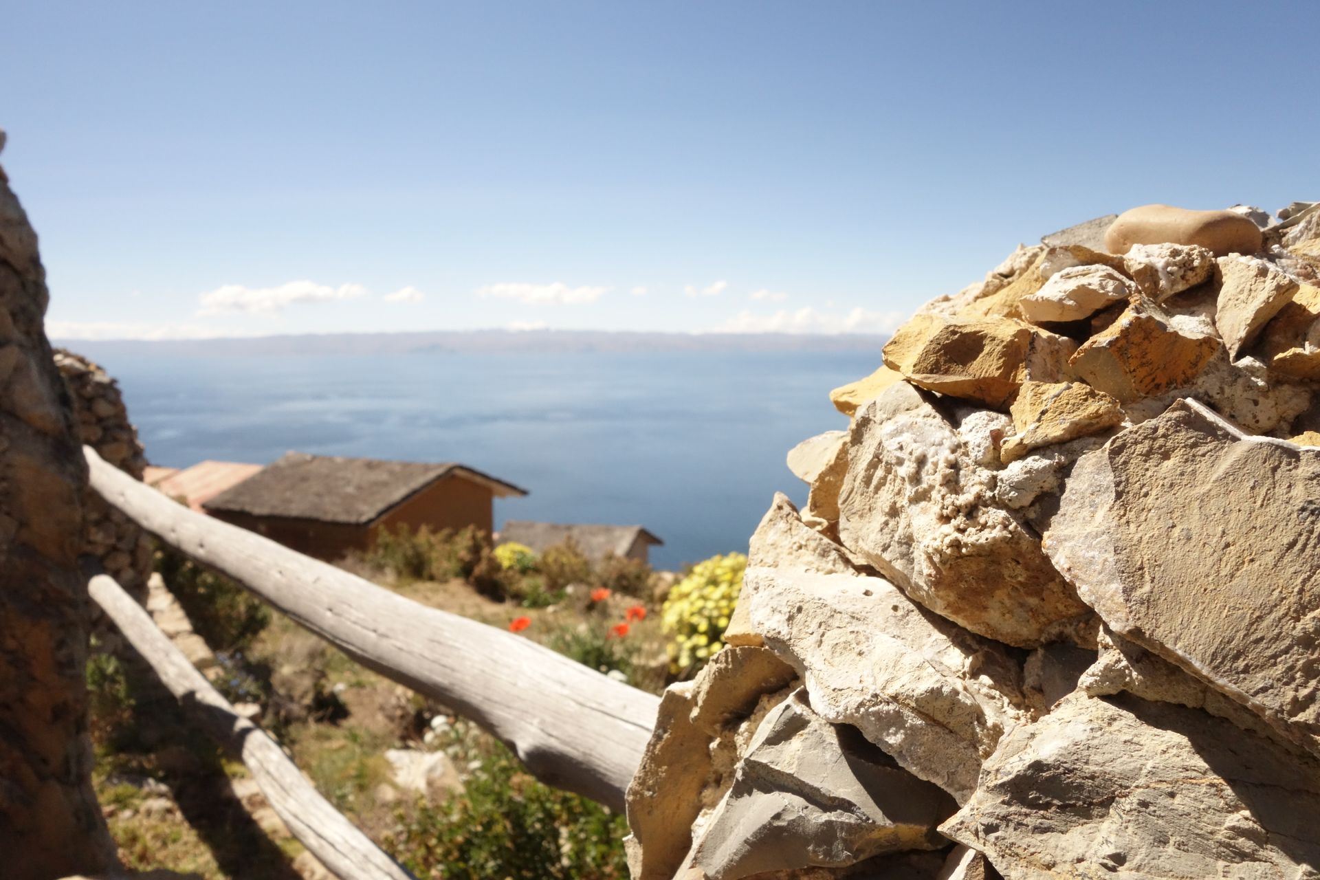
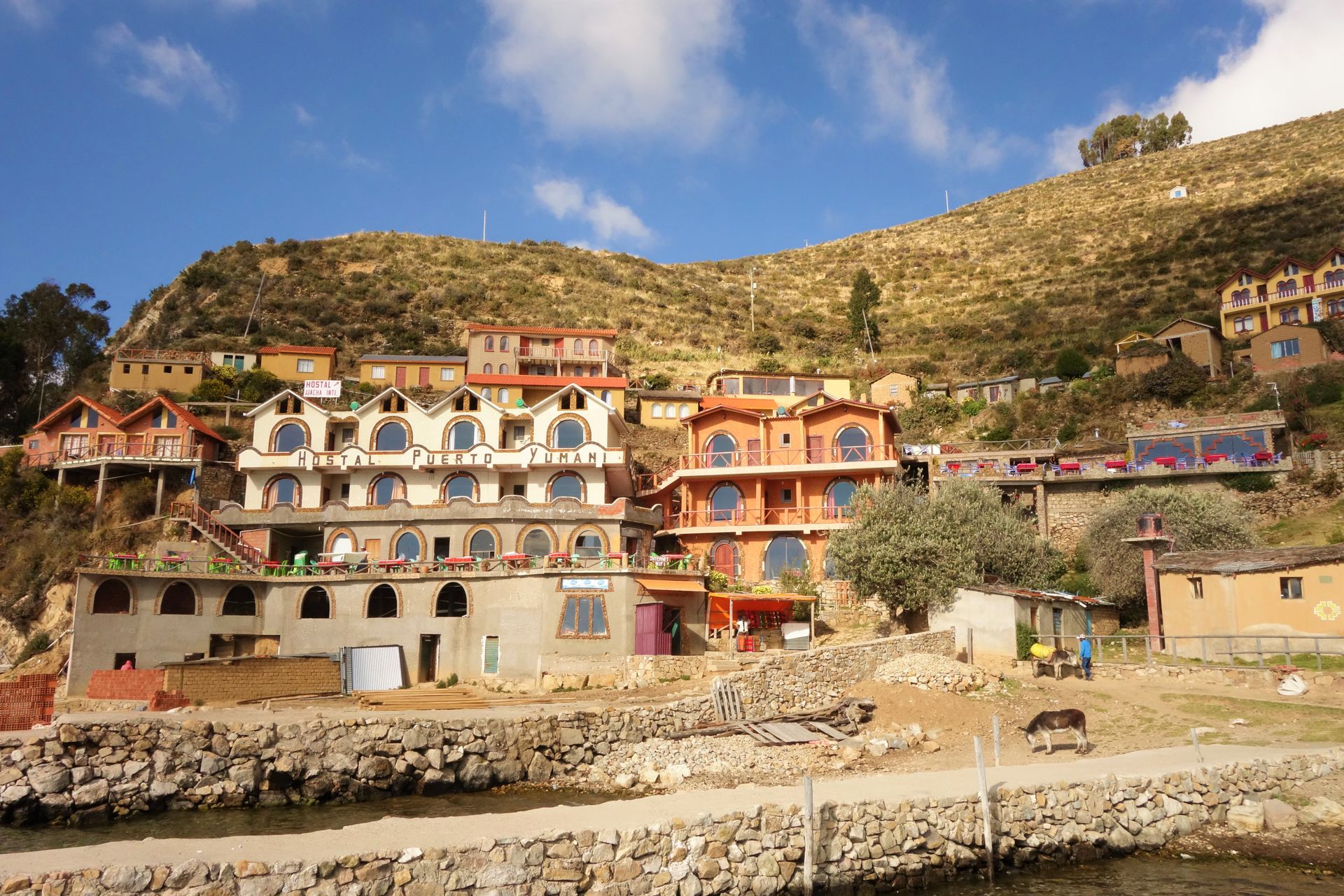
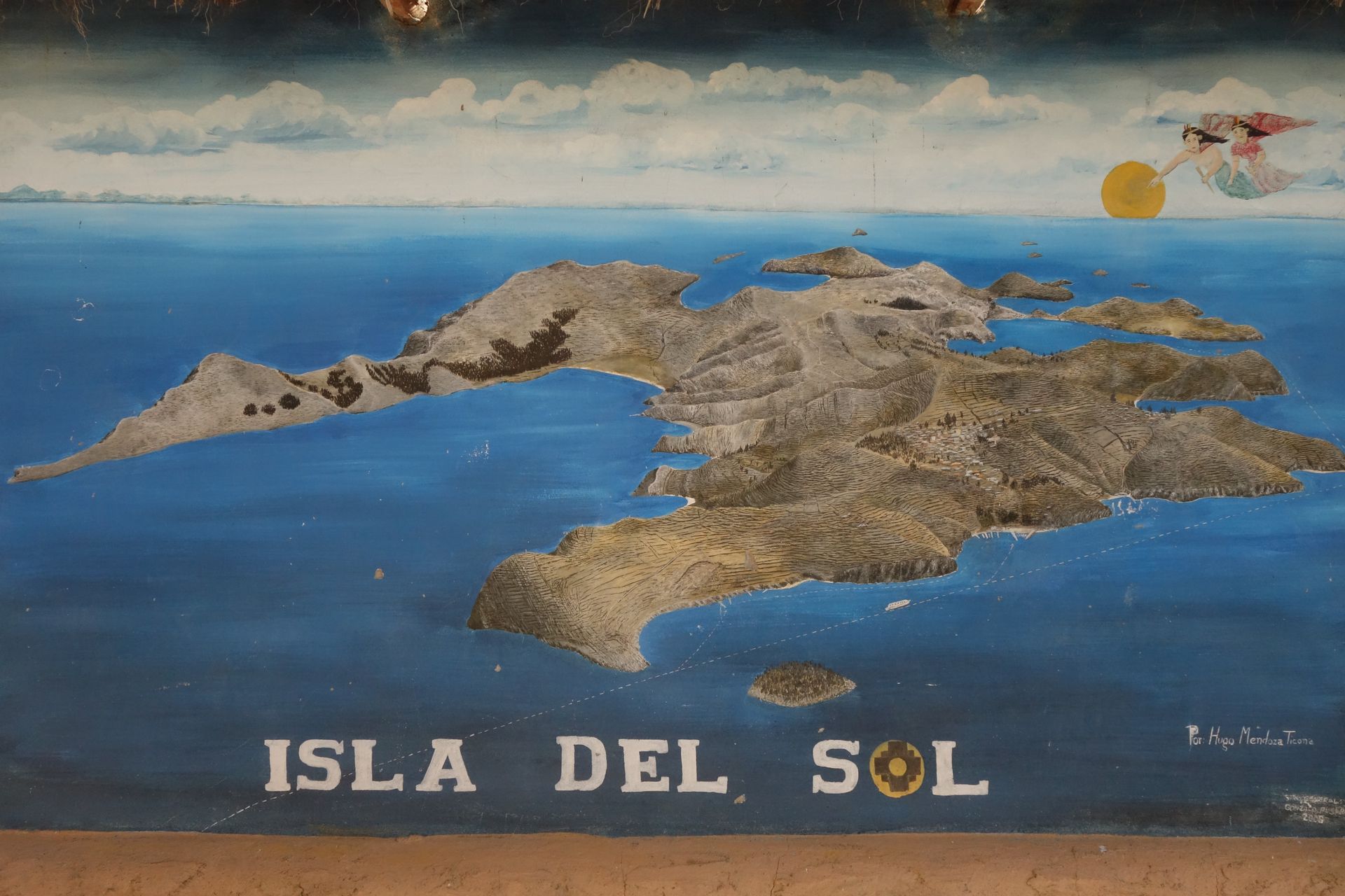
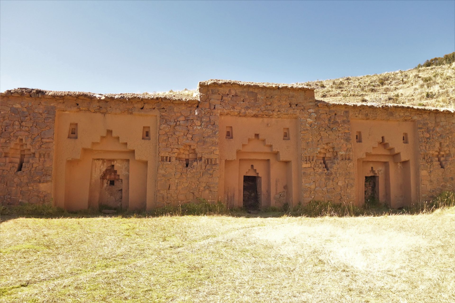
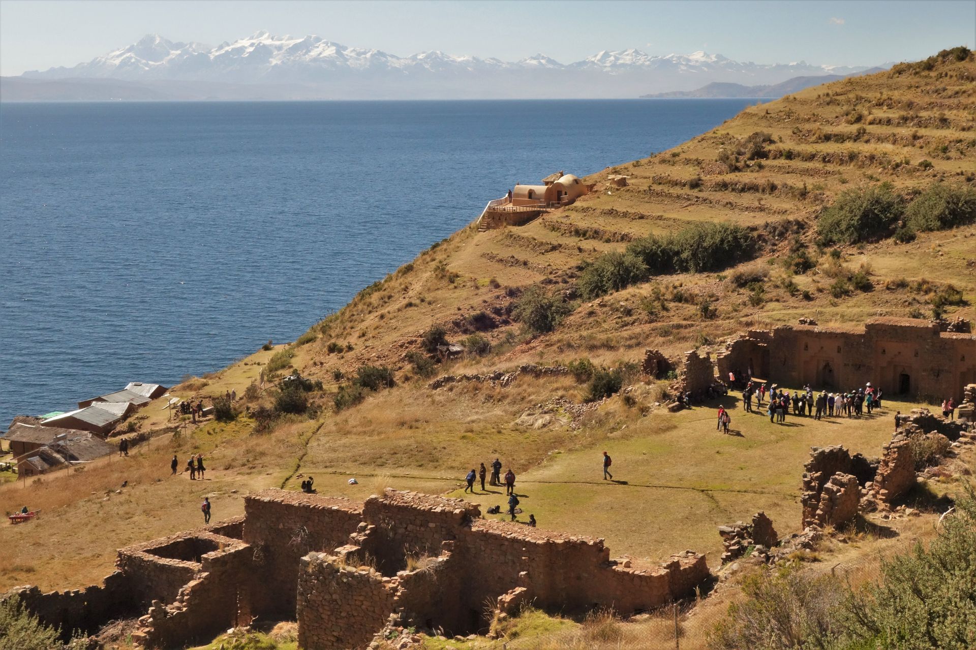
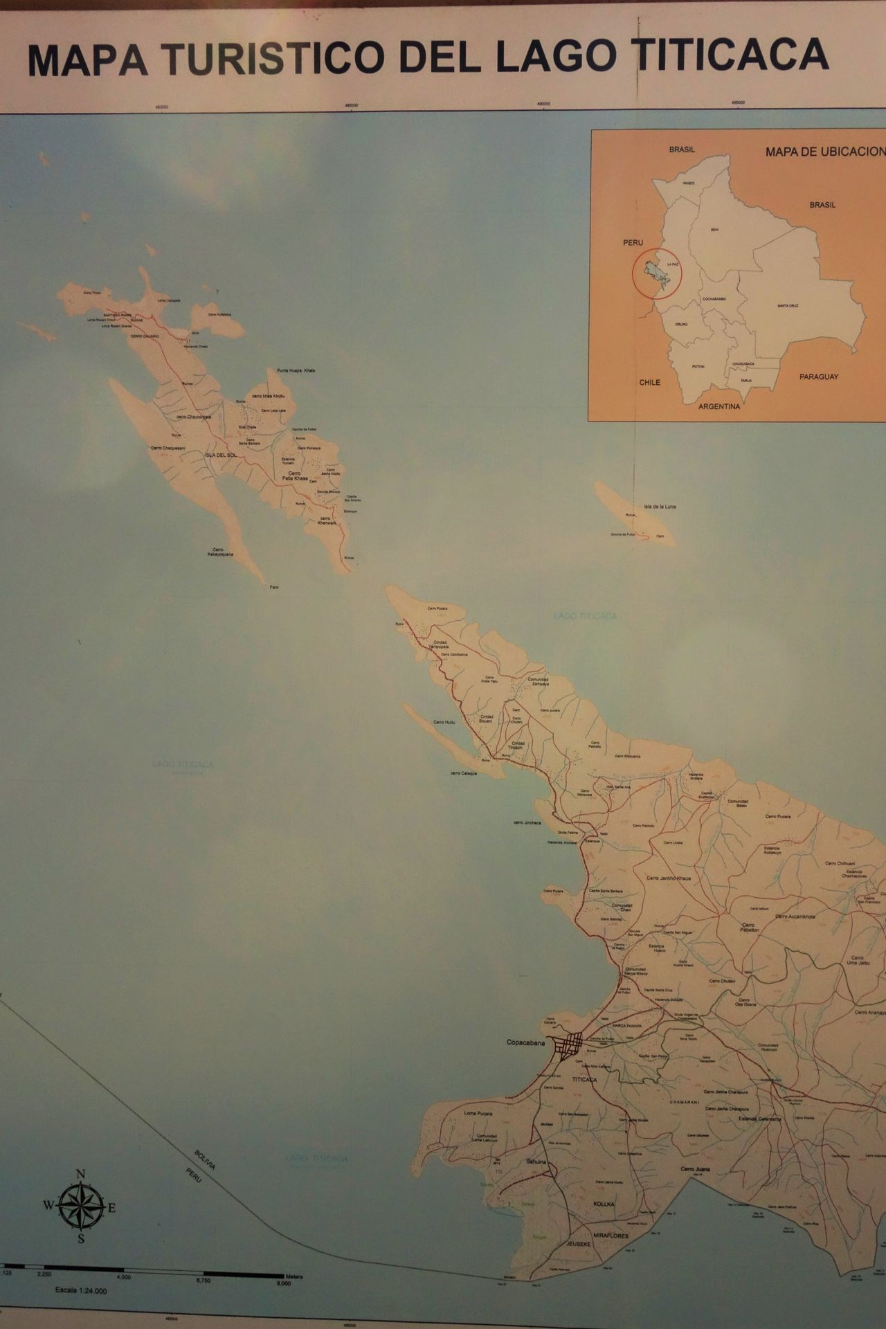
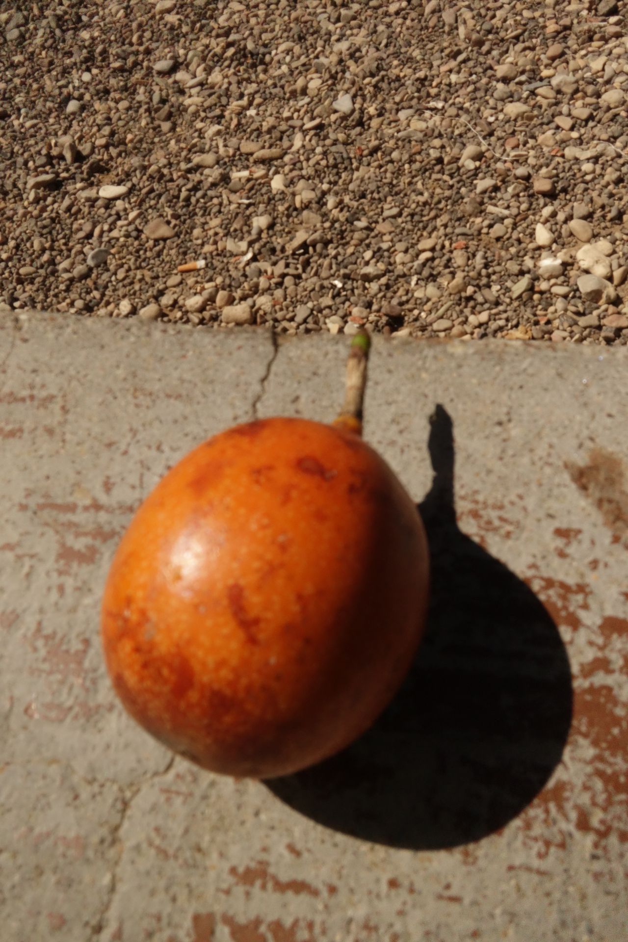
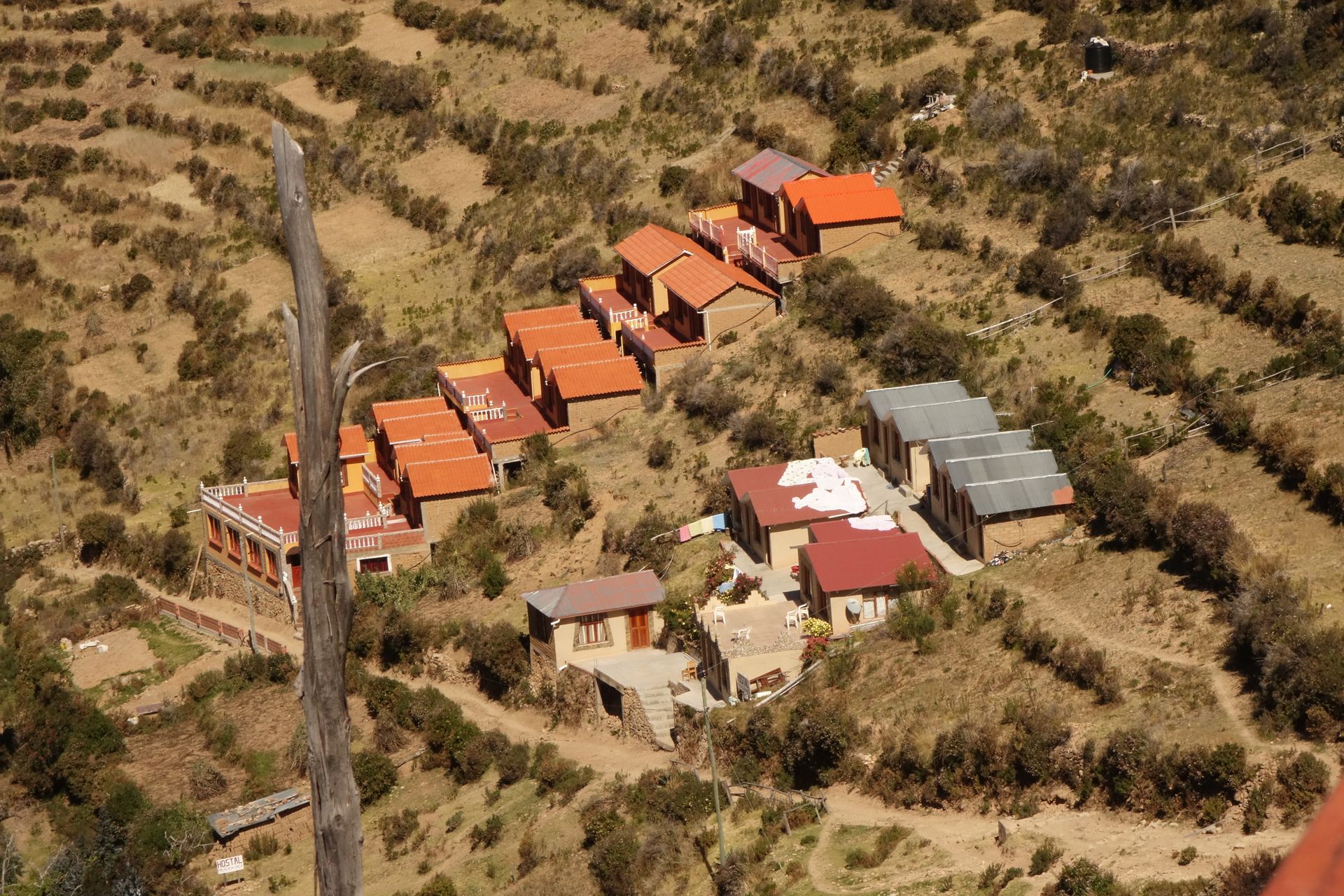
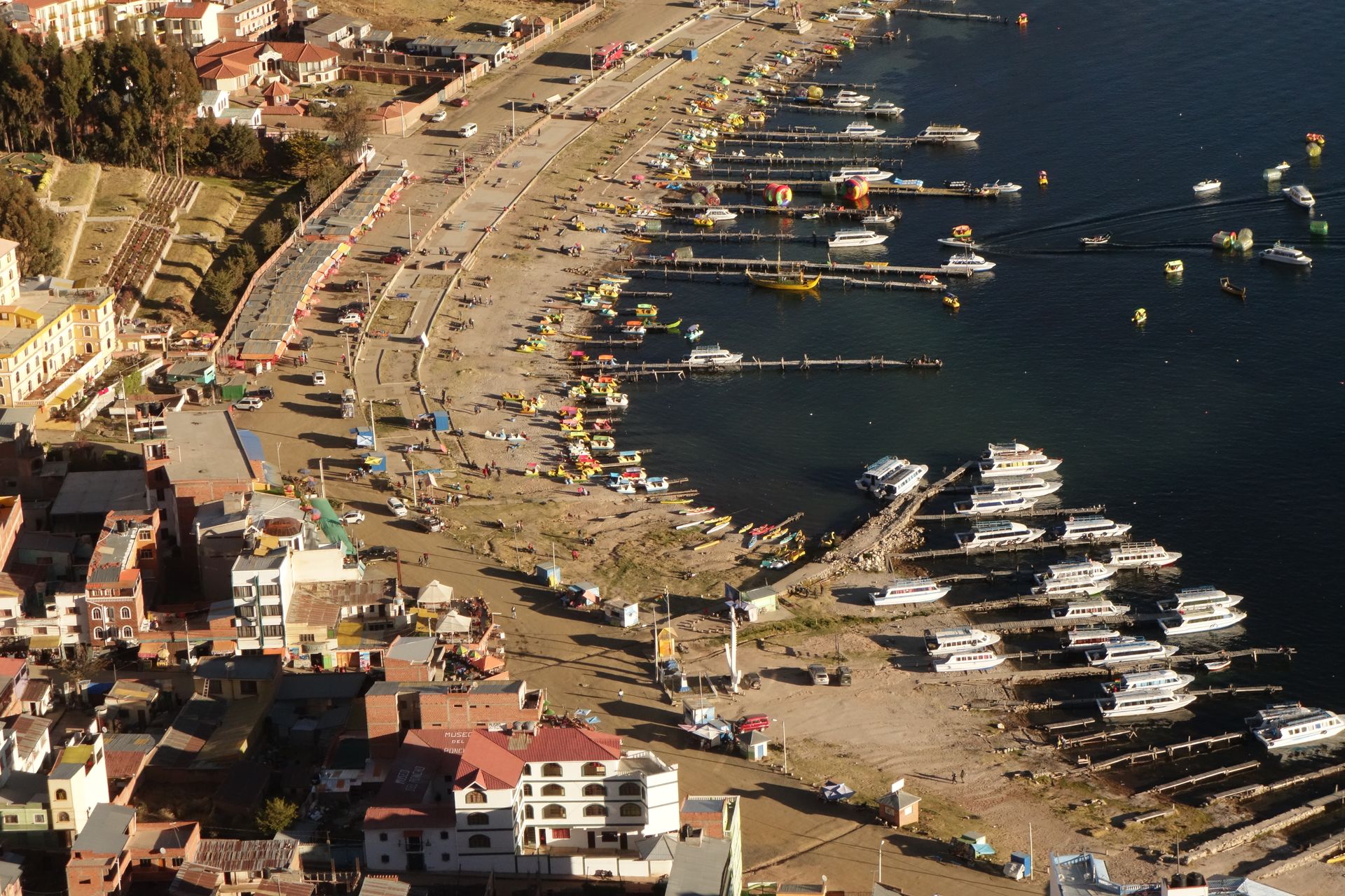
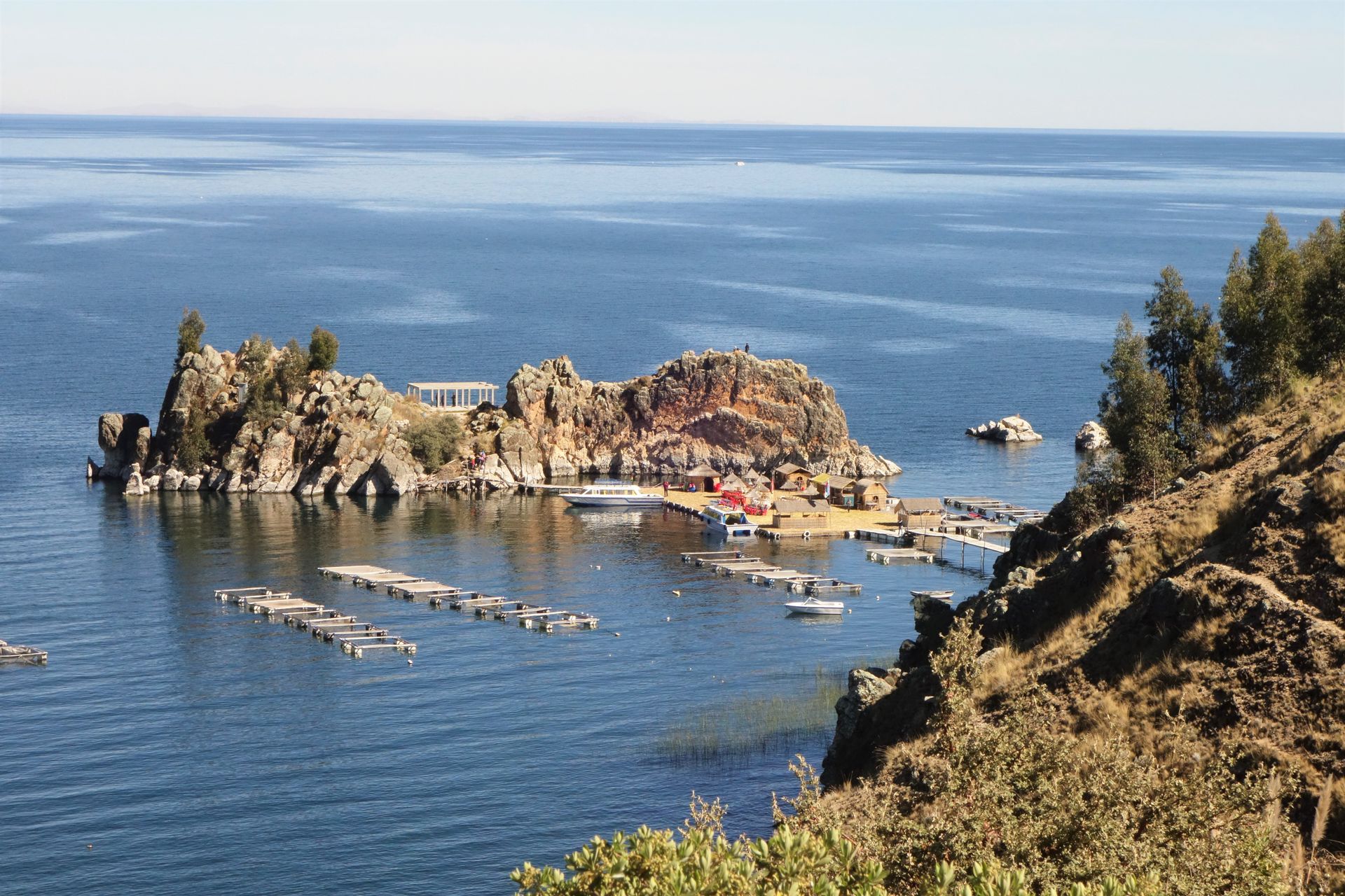
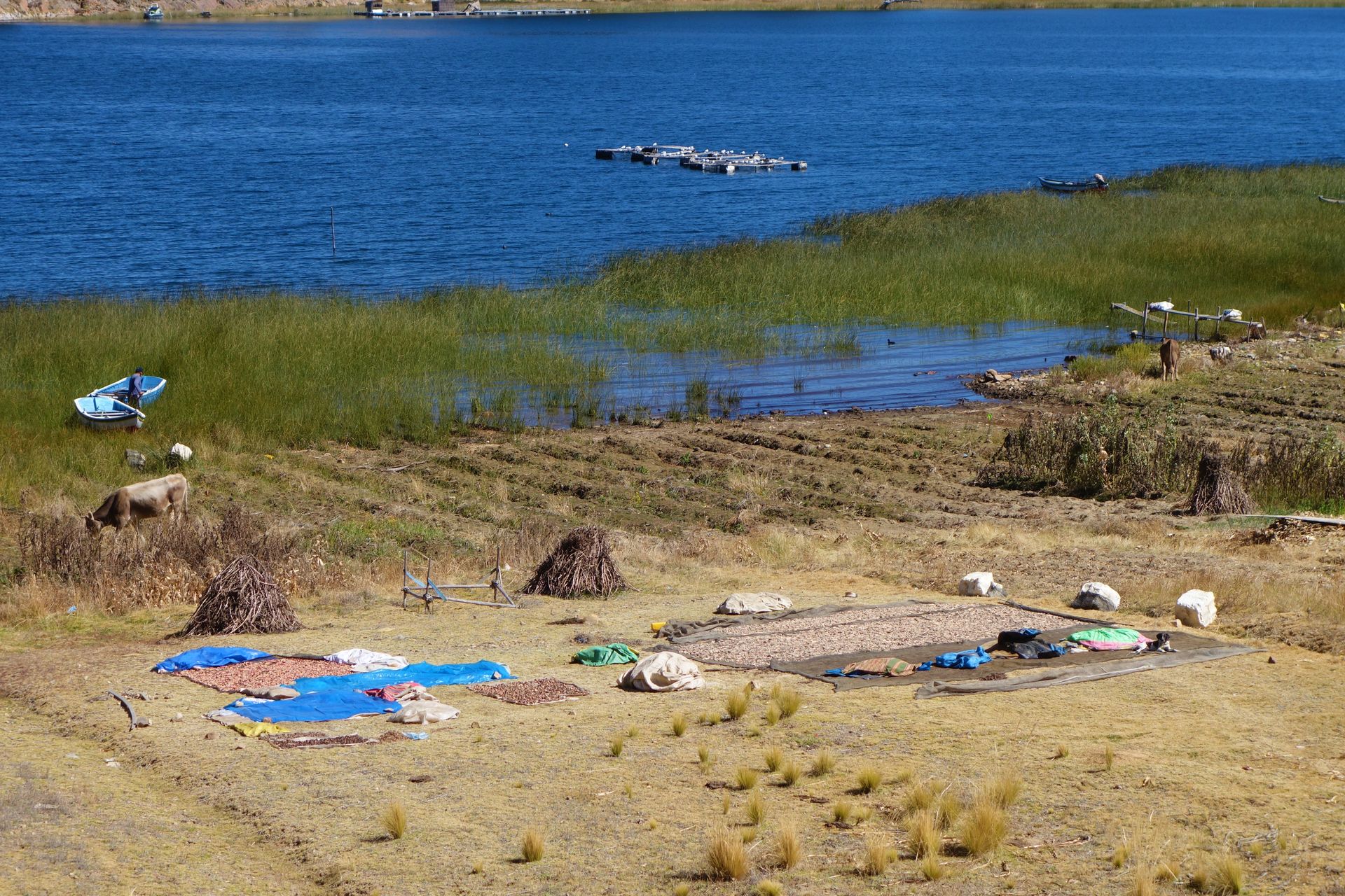
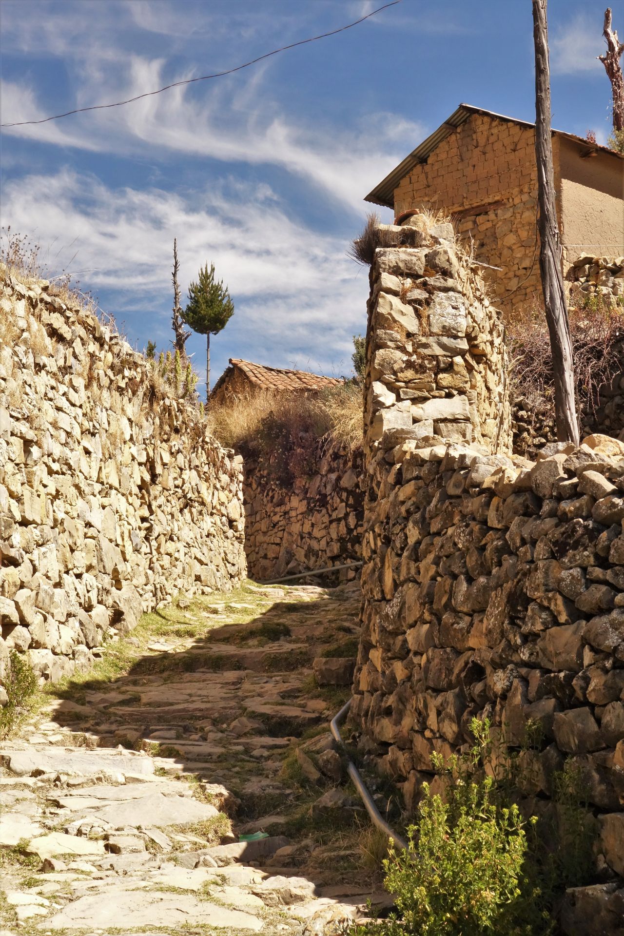
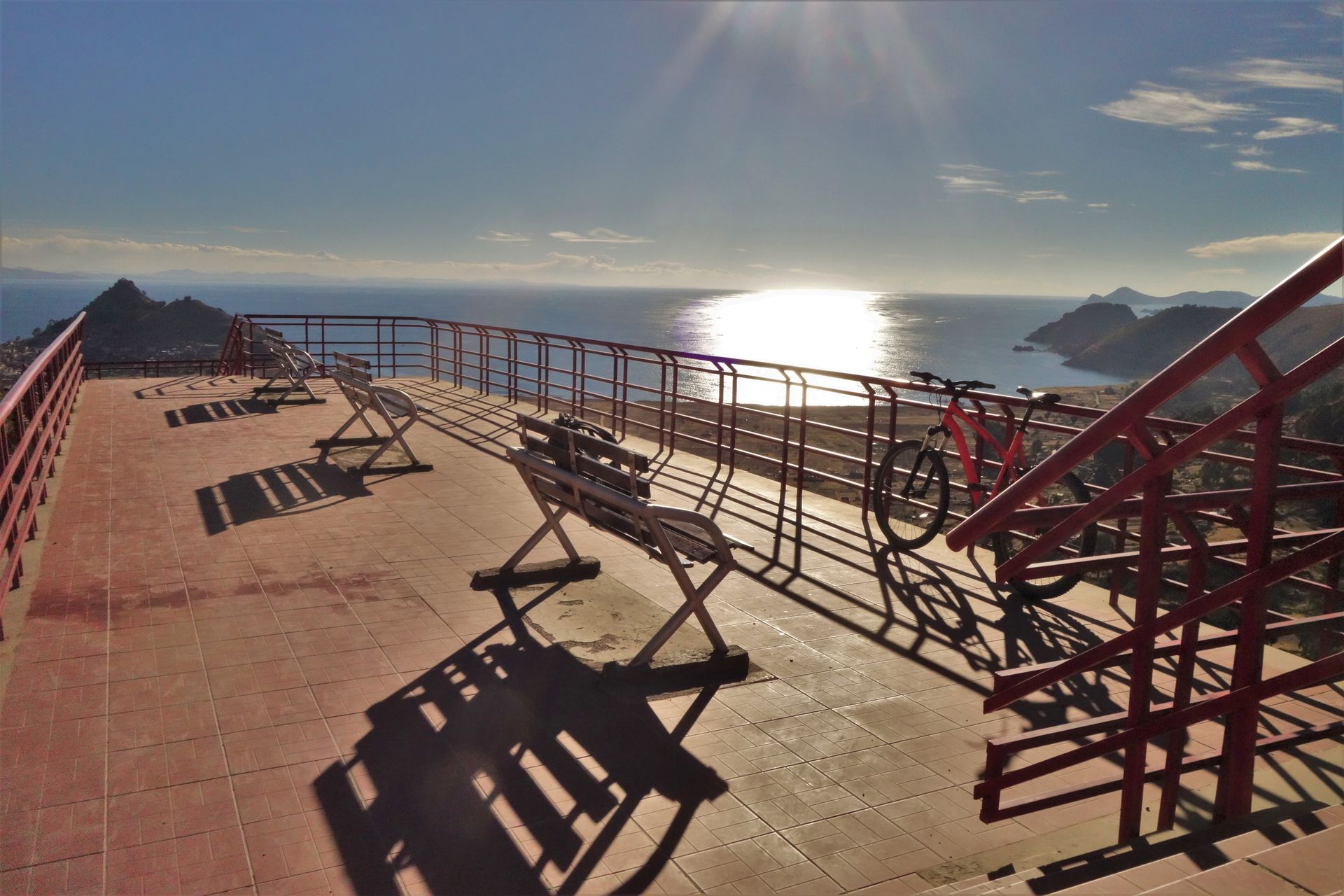
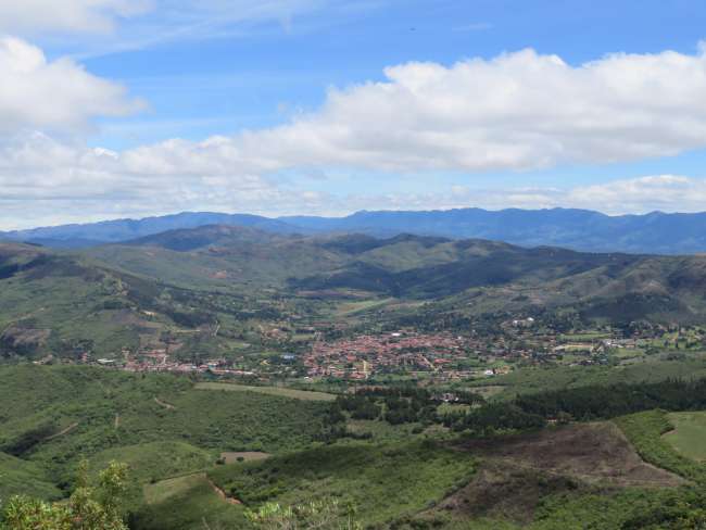
A manageable place that mainly serves as a starting point for visiting the Isla del Sol and Isla de la Luna. The lake itself is located at an altitude of 3810m. After all, it is the highest navigable lake on earth. One side borders Peru, the other Bolivia. First little problem. My credit card, which has worked everywhere so far, is not accepted. But here, everything is cash only! I have a few dollars and euros to exchange, but that won't get me far. My backup card, which I have never used before, works without any problems. Good thing I thought ahead. So, let's get started with Bolivianos. The city itself doesn't offer much besides a nice church and a beautiful viewpoint hill. Full of tourist restaurants, souvenir shops, and bars. So, the next morning we head to the Sun Island. We go at snail's pace and always in the diesel fumes, and after 1.5 hours, we arrive. First, we have to climb stairs to gain some altitude. I notice for the first time that we are actually very high again. The sun is blazing, the sightseeing begins. Signs and maps seem overrated. The island can't be that big. Everyone else is running around in a similar clueless manner. Once you're at the top, a path will surely appear. And that's exactly what happened. Panoramic view of the mainland, the Moon Island, and the ruins that can be visited. In the afternoon, I reached the starting point again and after having lunch on the sun terrace, I found a nice accommodation. Tomorrow morning, we will go to the Moon Island, where there is even less going on. There are said to be 70 people living there. On the Sun Island, there are already quite a few more, but due to an ongoing dispute among the islanders, you can only visit the small southern part. The northern part is off-limits! And they take it seriously. I didn't try it, but apparently, they would aggressively reject anyone. It's about some fees that tourists are supposed to pay and their use. I haven't had it explained in more detail. But over a year ago, a South Korean apparently 'died' as a result, if I understood correctly. Dangerous half-knowledge! After an extremely peaceful night, I visit the Moon Island and drive back to Copacabana.
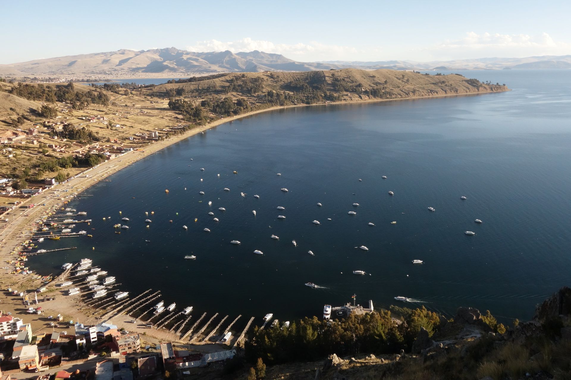
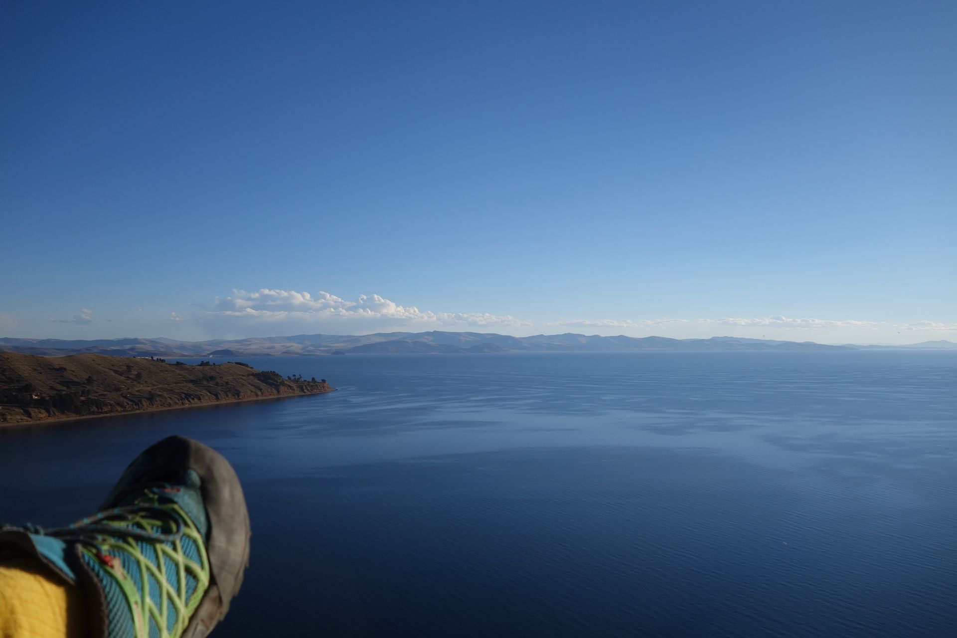
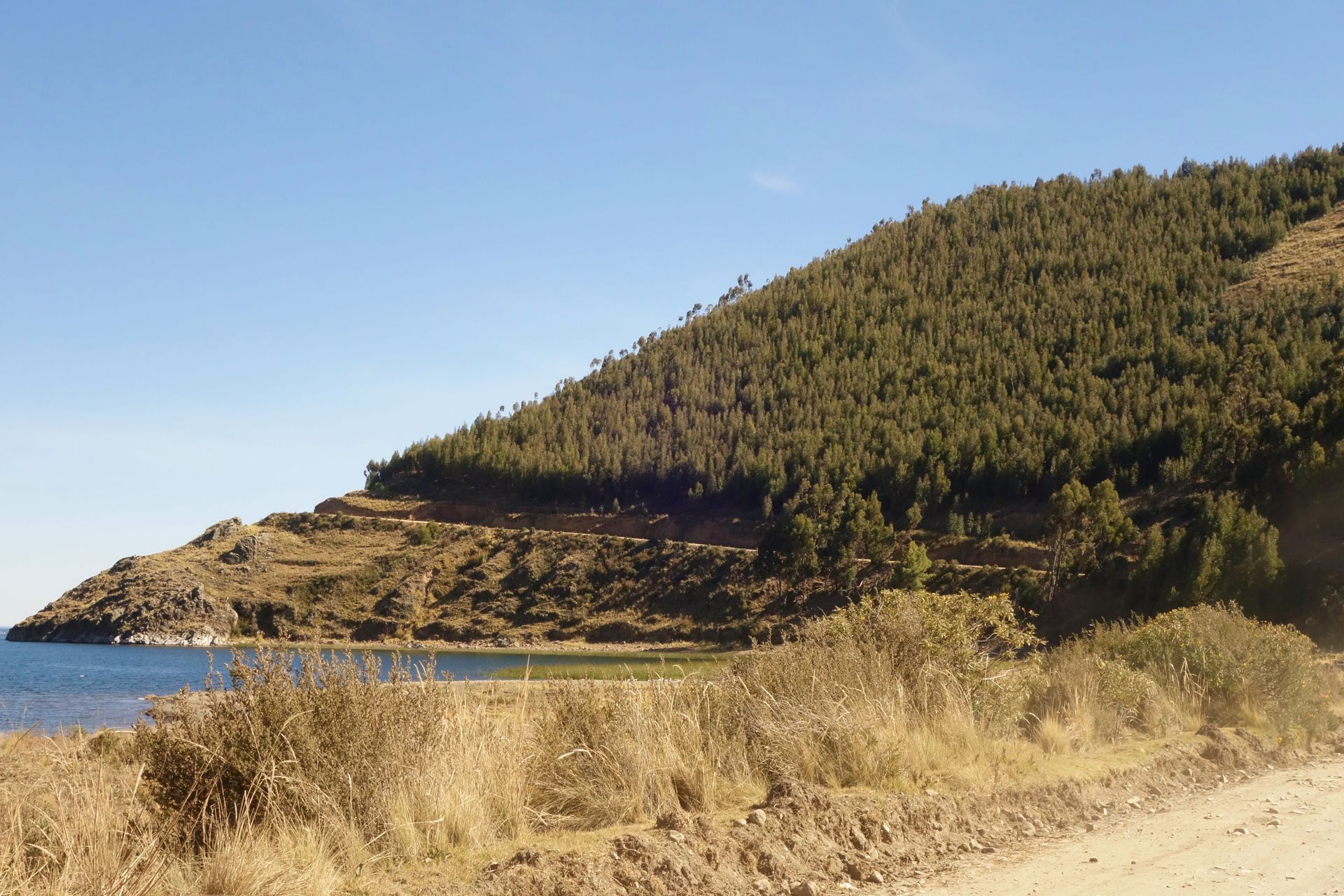
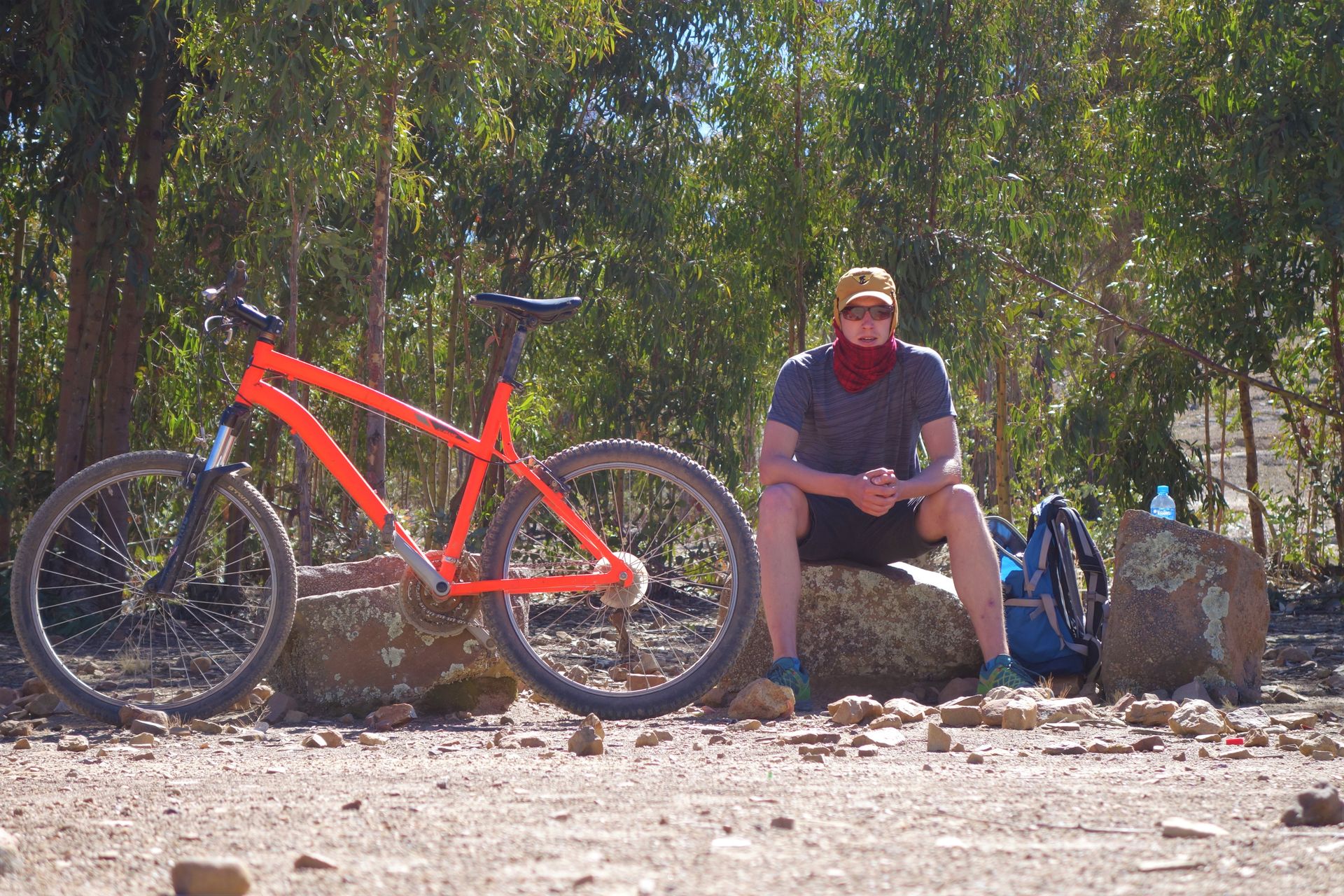
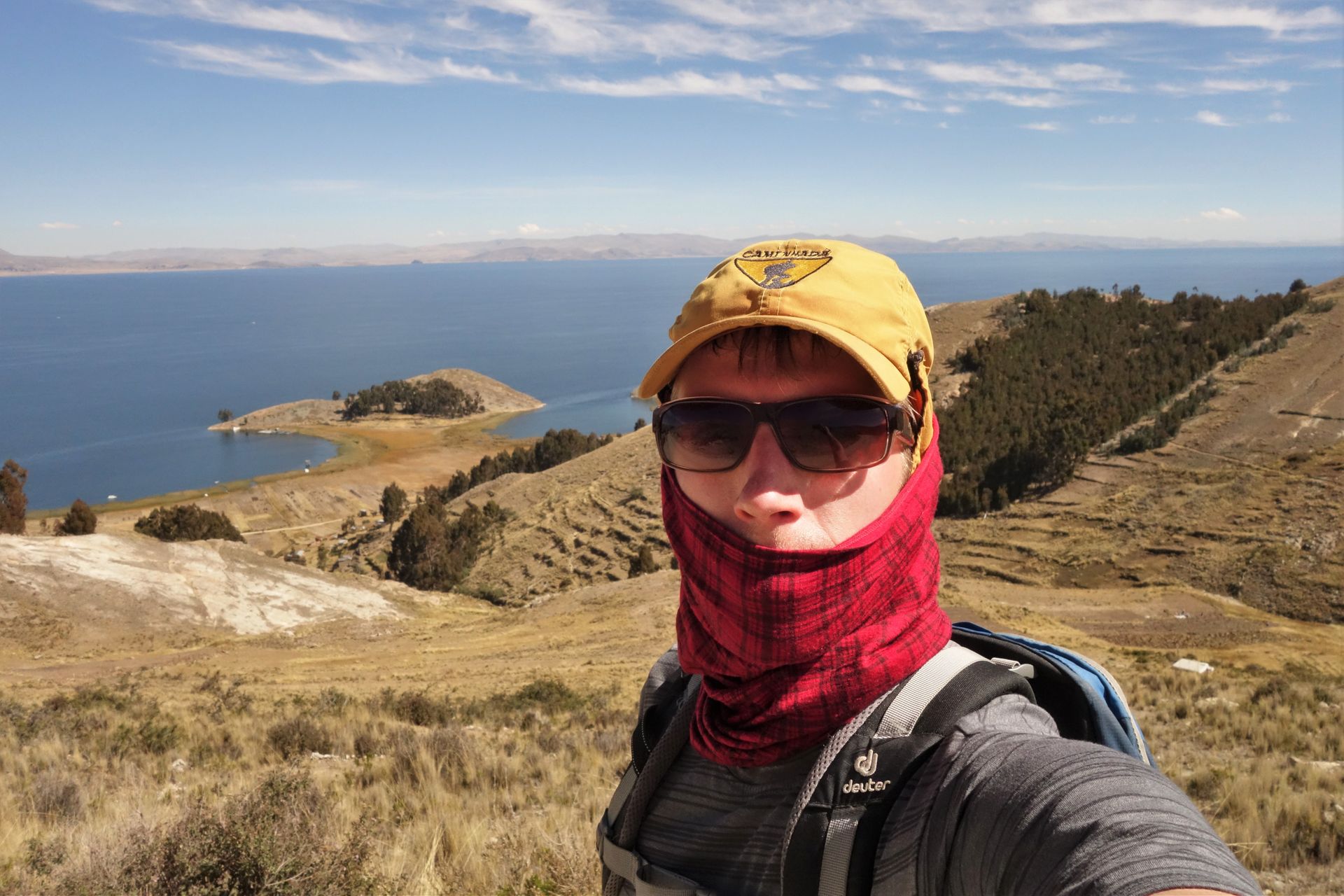
I had 2 days to take a closer look at the coastal profile of the mainland from a distance. That's what I wanted to do on the last day with the bike.
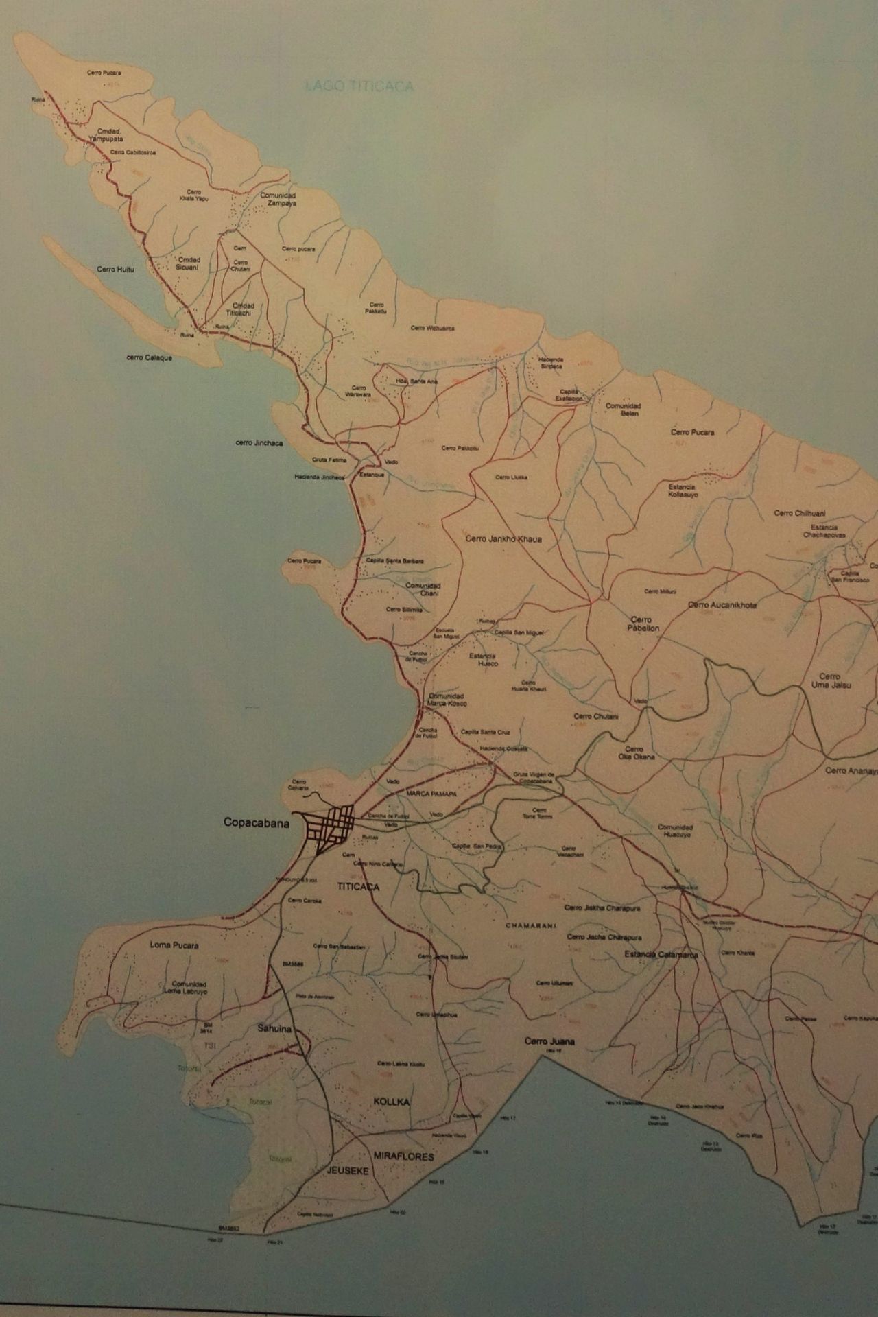
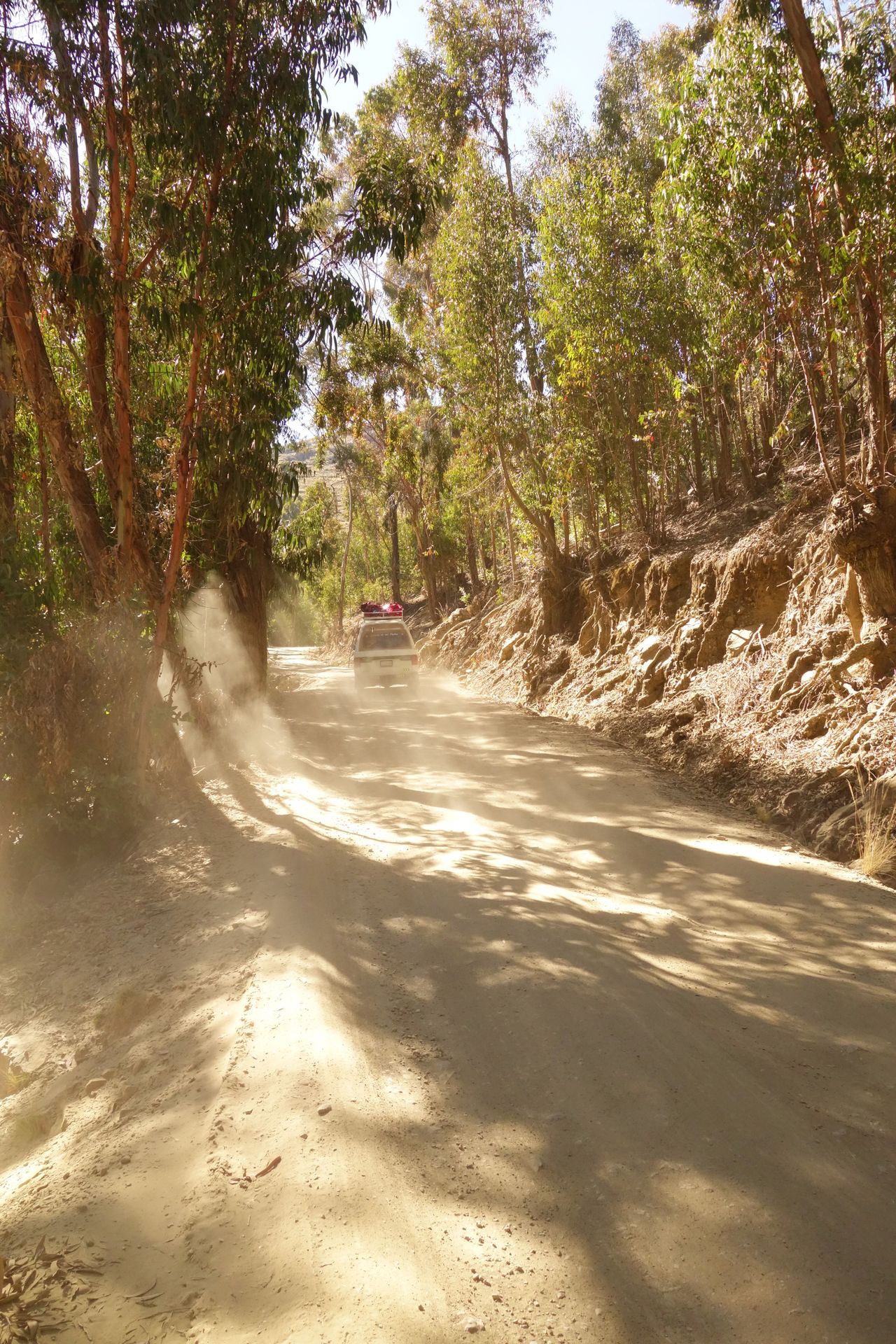
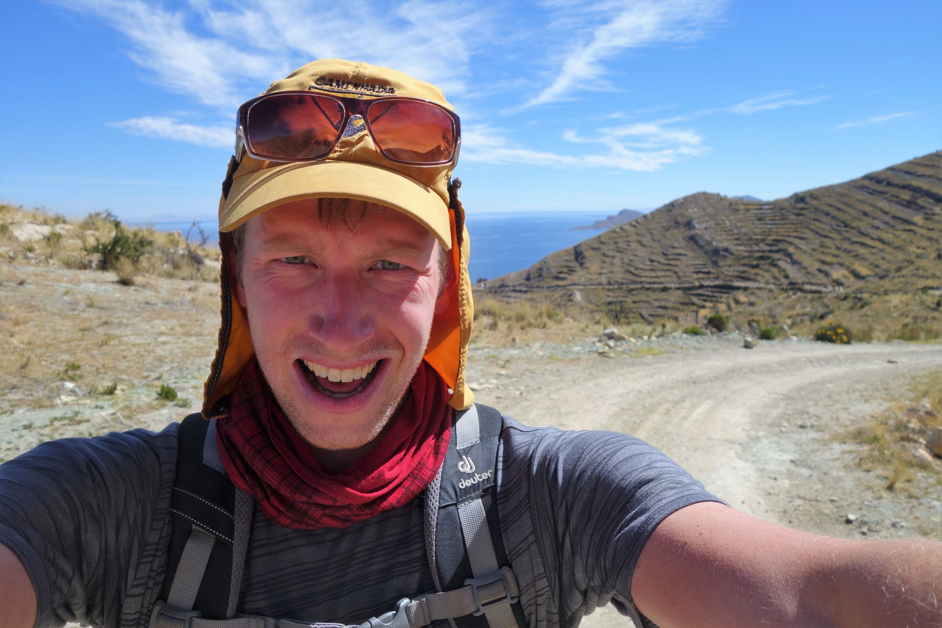
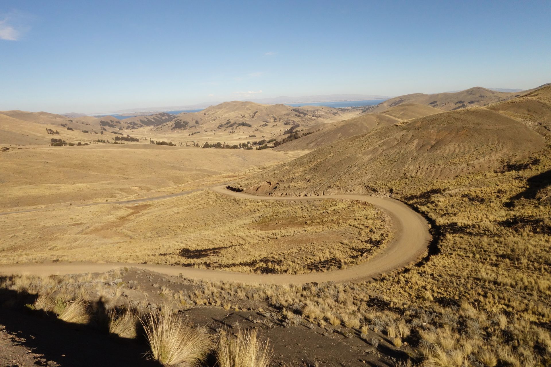
I left Copacabana heading towards Yampupata on the northern tip. The plan was to find a cozy restaurant there to watch a round of 16 match and then return comfortably. And as it always goes with plans...
The first climb didn't take long to come. The altitude hit hard again. From then on, I only needed the smallest 3 gears. Because from now on, it went either uphill, steep uphill, very steep uphill, or downhill. Well, I managed to get to Yampupata quite well. The views were also wonderful. Unfortunately, there were no restaurants or anything else to buy there. Just like for the rest of the day. I was prepared, so I could bridge the first break. But during the day, it became increasingly difficult.
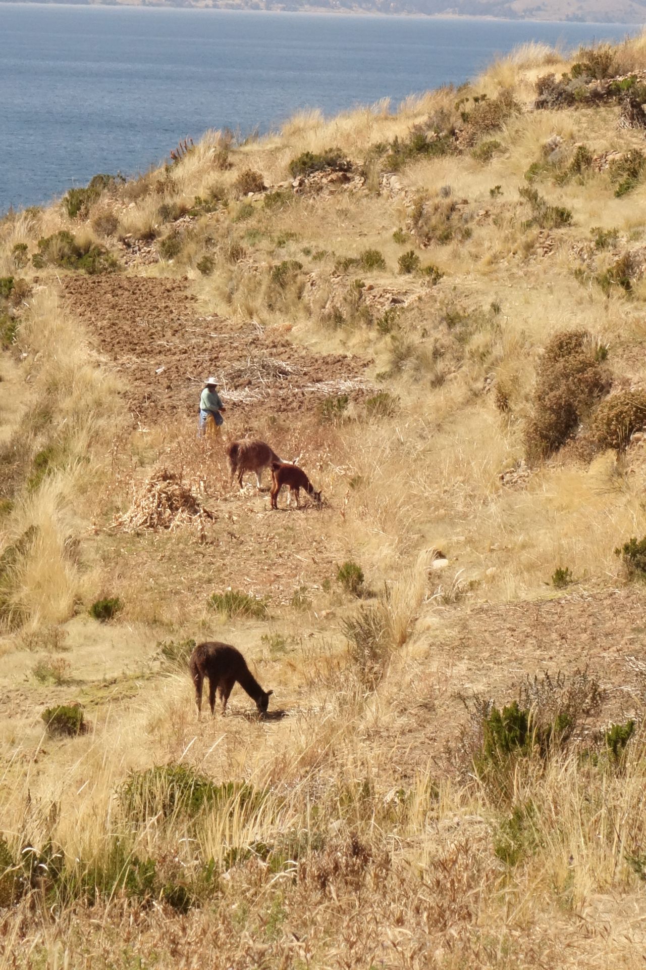
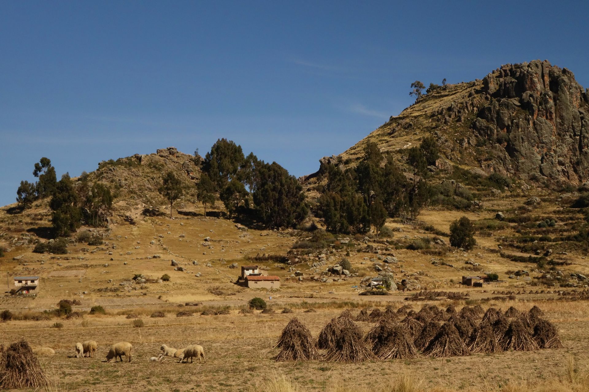
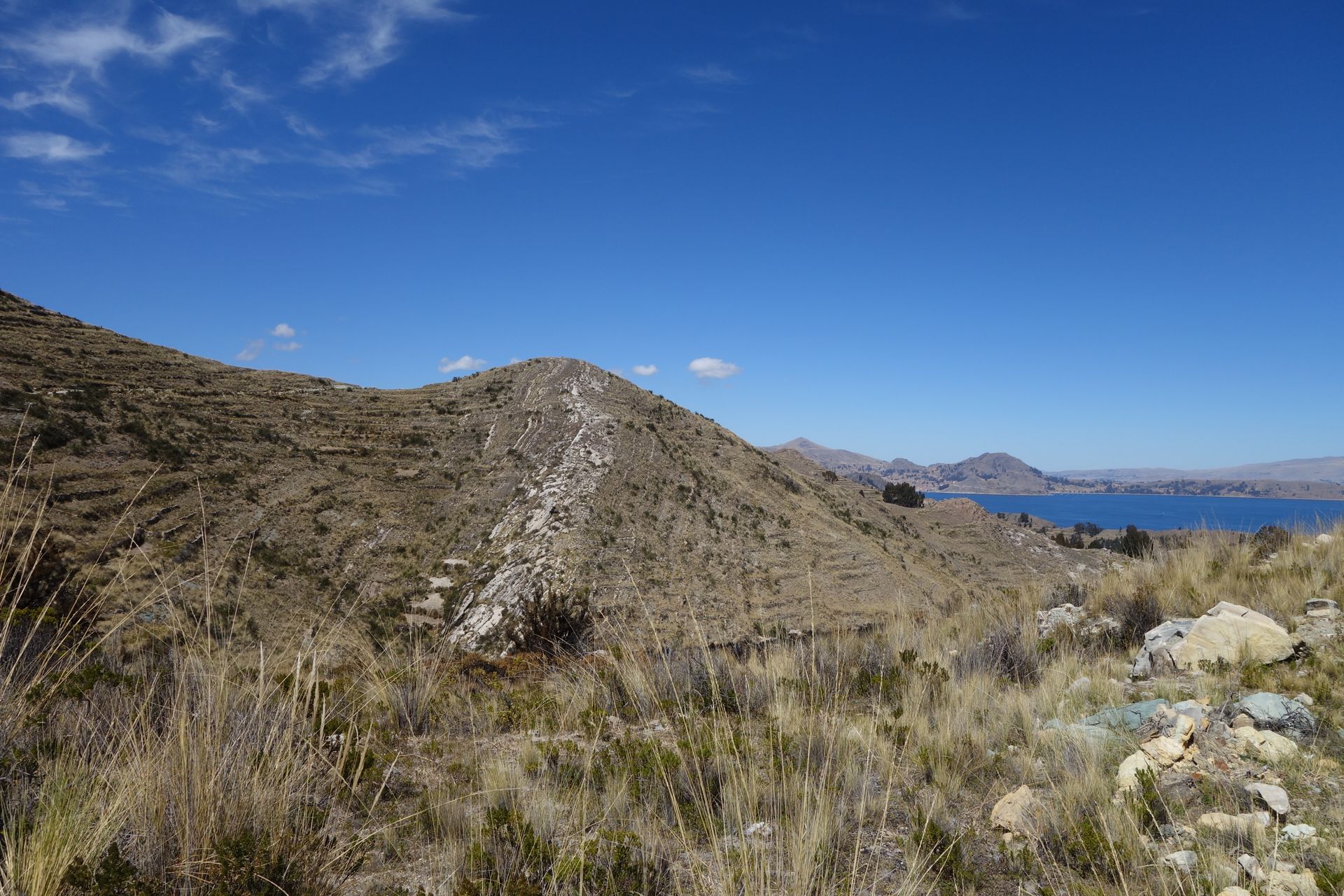
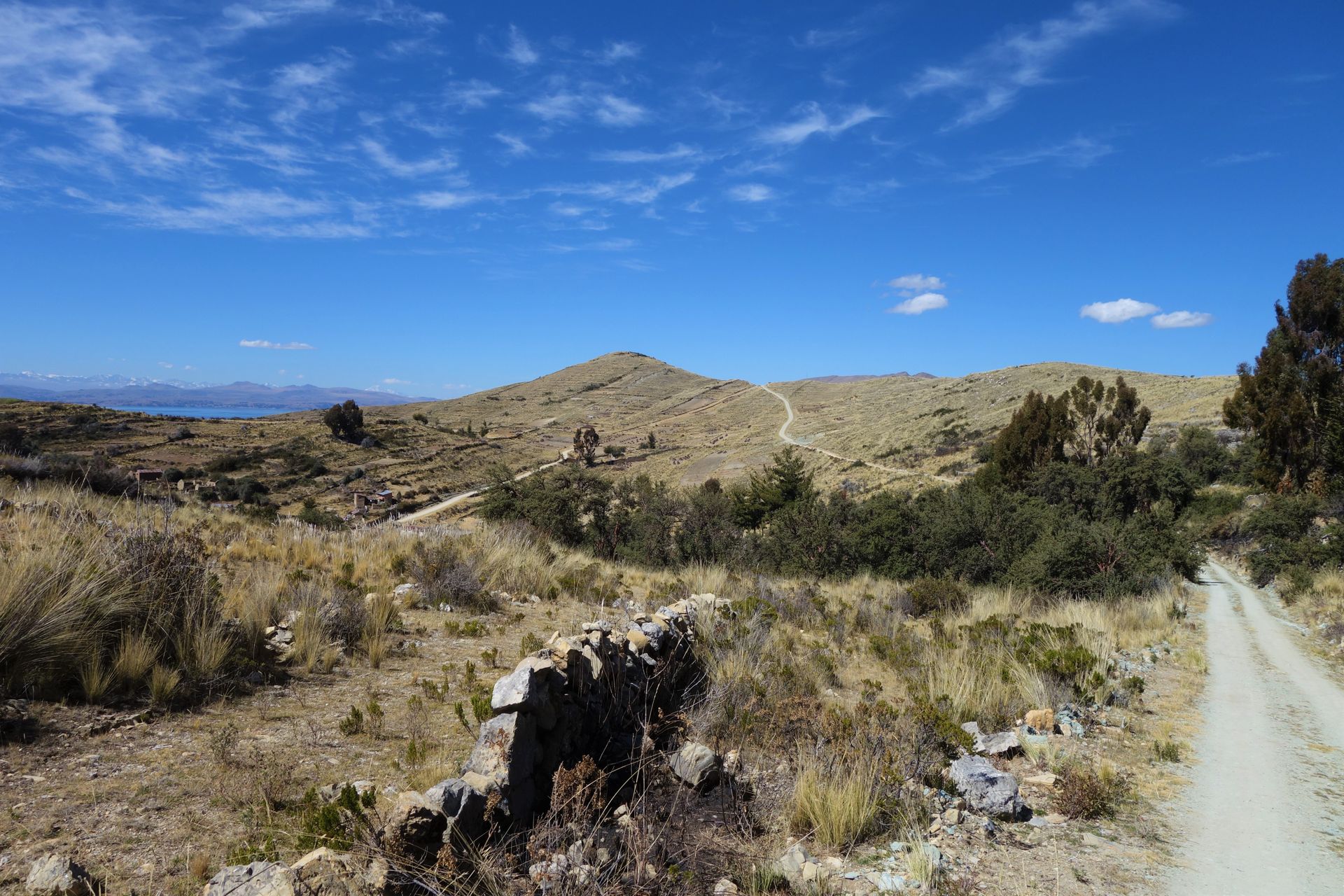
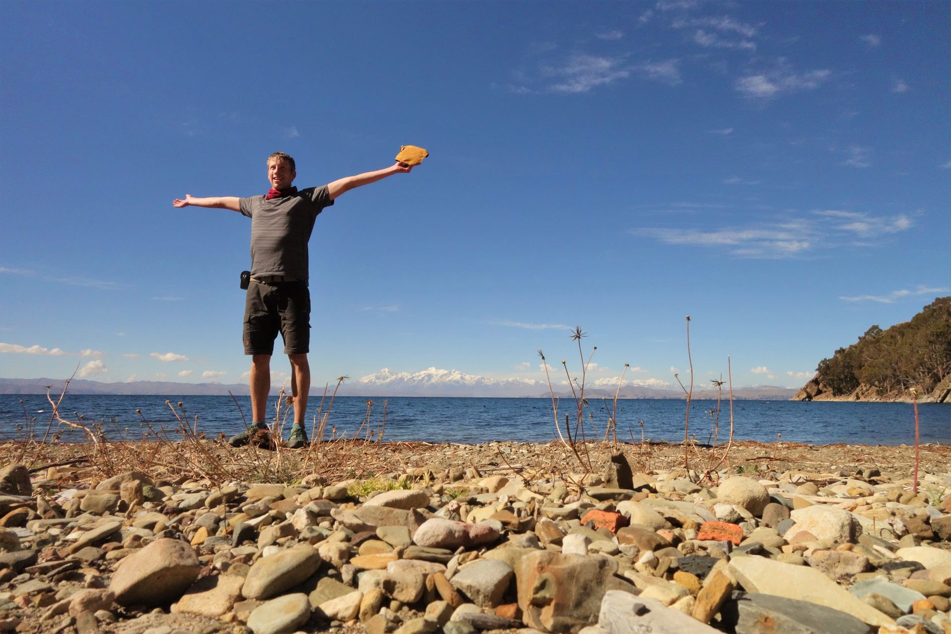
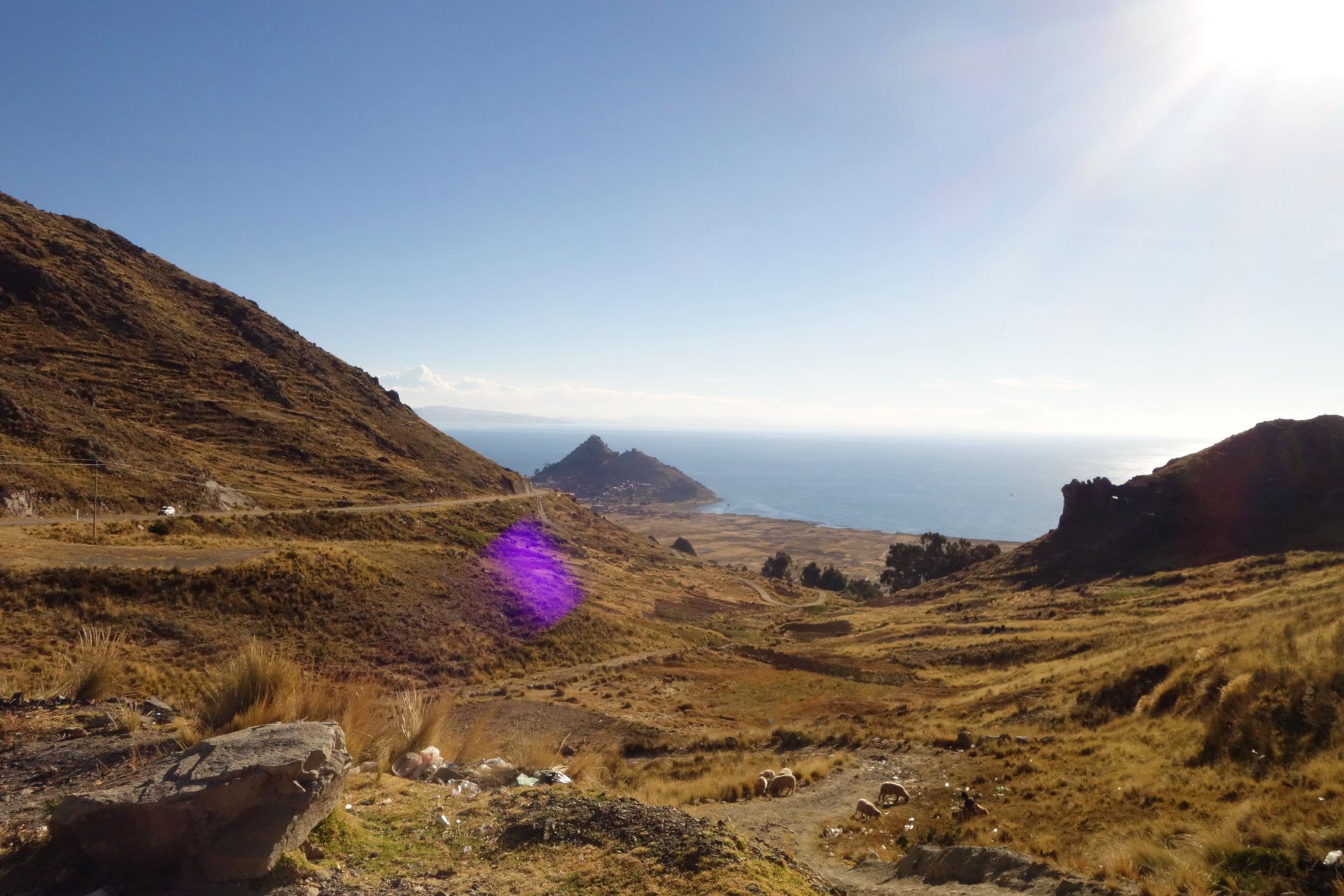
The return journey starts on the other side of the coast. After all, you don't want to ride the same route twice. At least I managed THAT! To the next town, Sampaya, I had to go even higher and then directly downhill again. The towns are usually right on the lake, at an altitude of 3810m. However, the passes in between are often at 4000m and higher. So, I've been shuttling back and forth the whole time. Doesn't sound that spectacular, but every meter of altitude hurts at this altitude. And after every half-hour ascent, it went downhill within 5 minutes. A real Sisyphean task. I don't understand how cyclists can enjoy it.
Just eat grass and look clueless. It could be that easy.
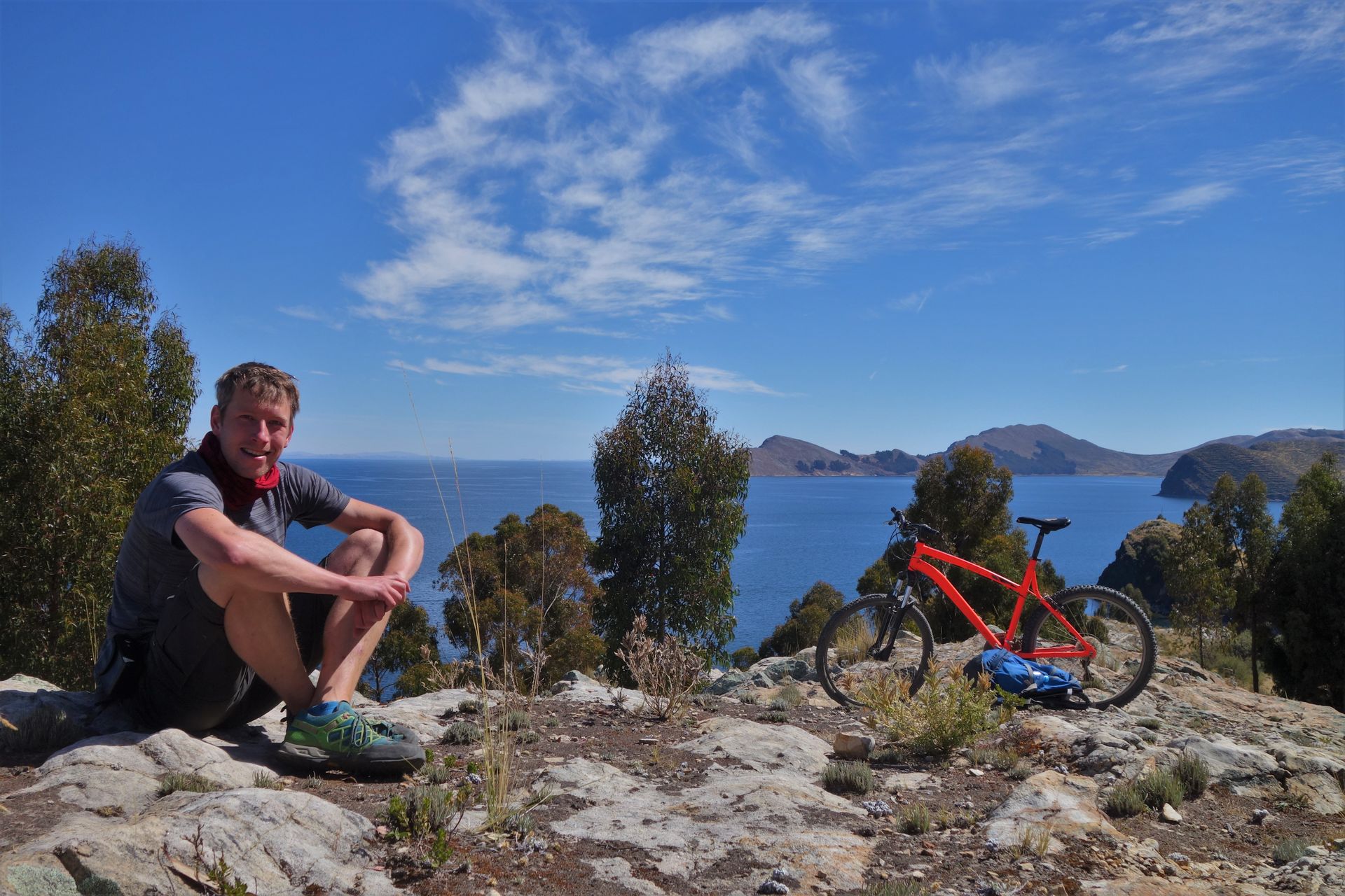
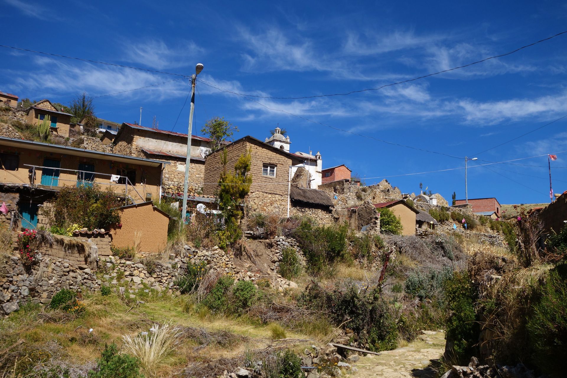
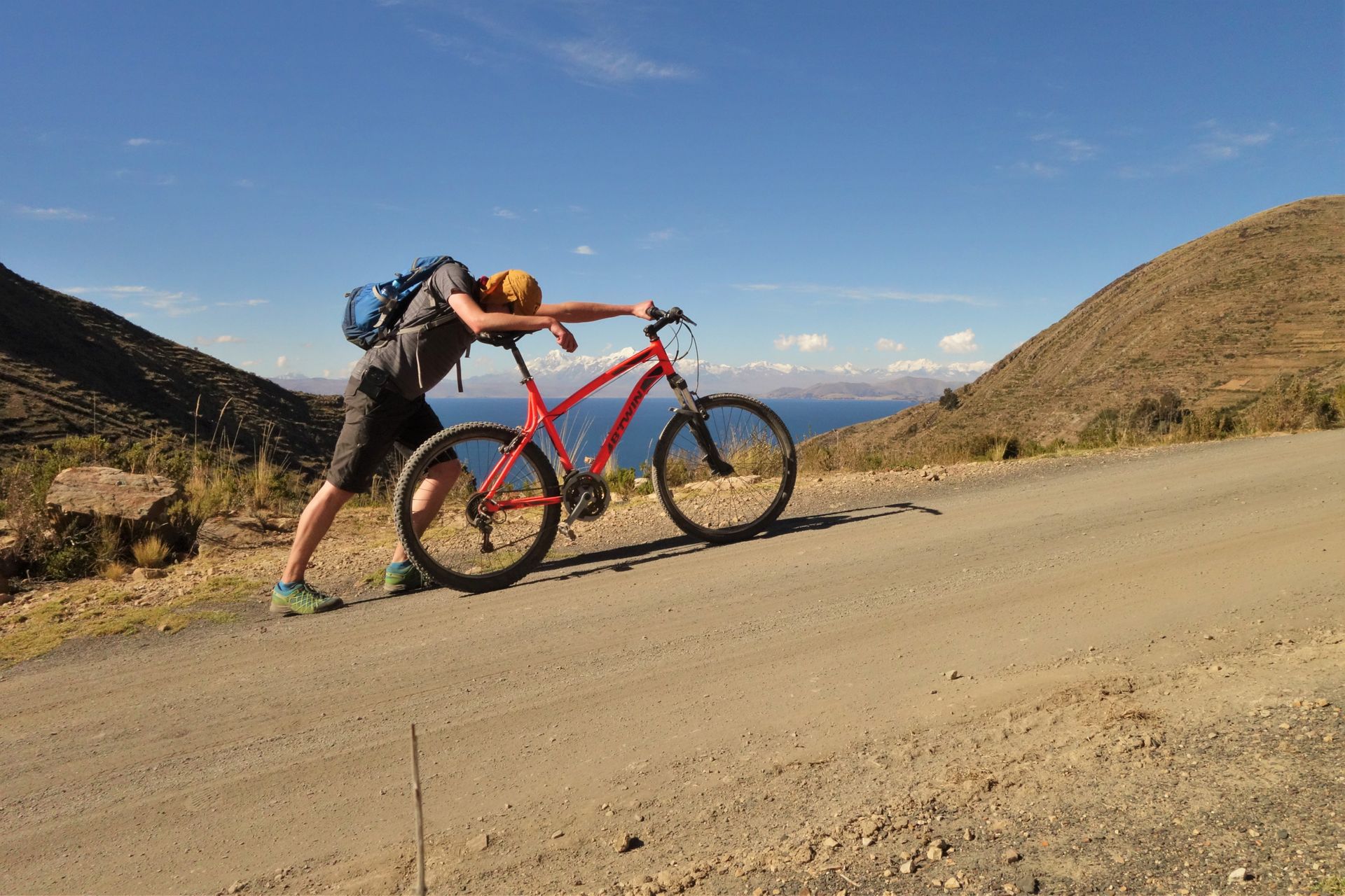
Then came the grand finale. A nice woman in Siripaca told me I just had to go up to the antenna and then it's all downhill from there. In principle, she was right. But the damn antenna was actually another 600m higher! And I was already completely exhausted. Unaware, I cheerfully took on the final ascent. After 10 minutes, I had to get off. Too steep and even less strength than before. Luckily, I had received 2 mandarins in the village. Together with the last chocolate, it was my last meal.
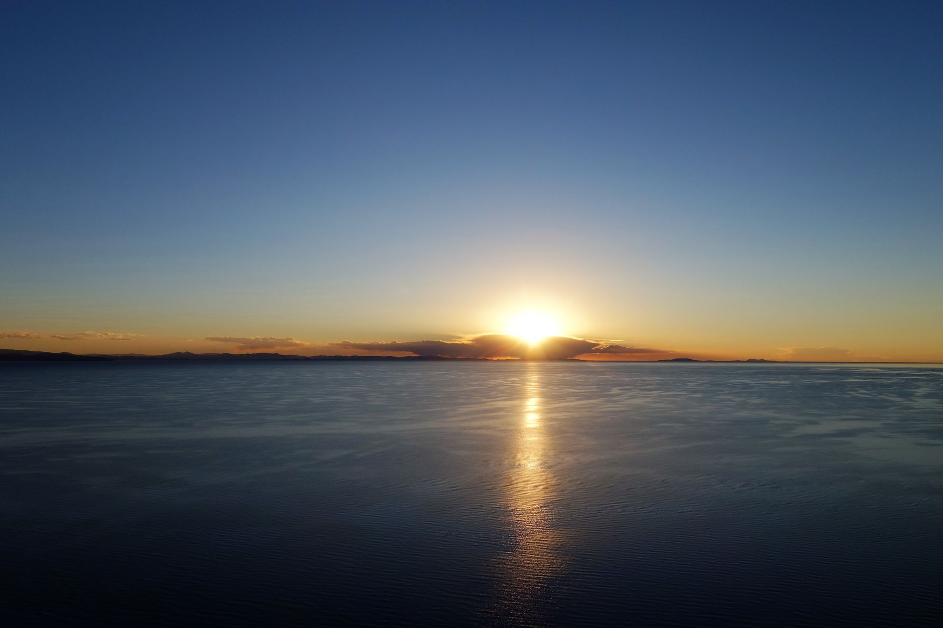
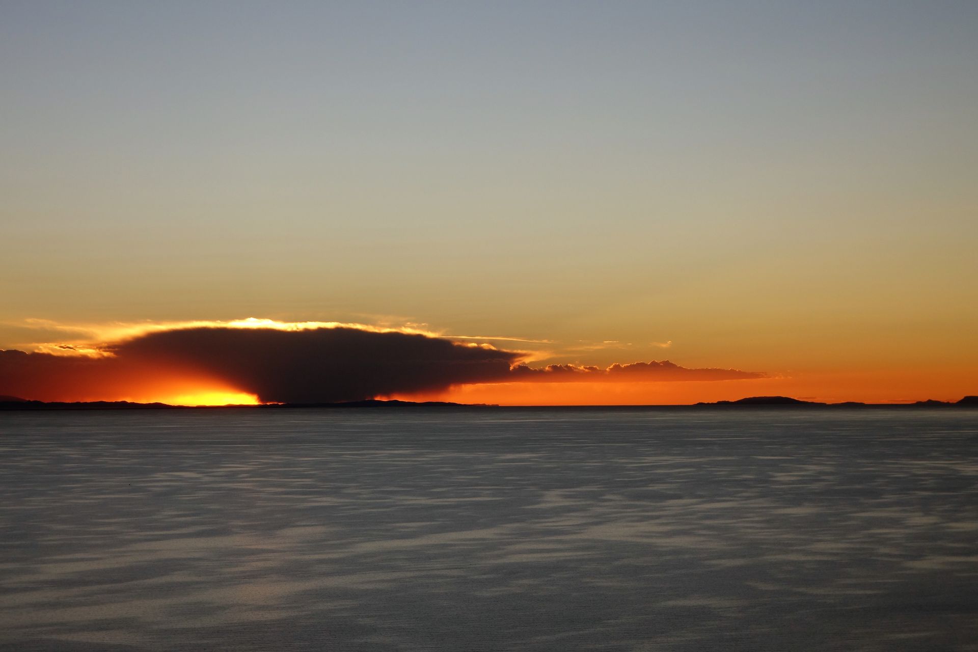
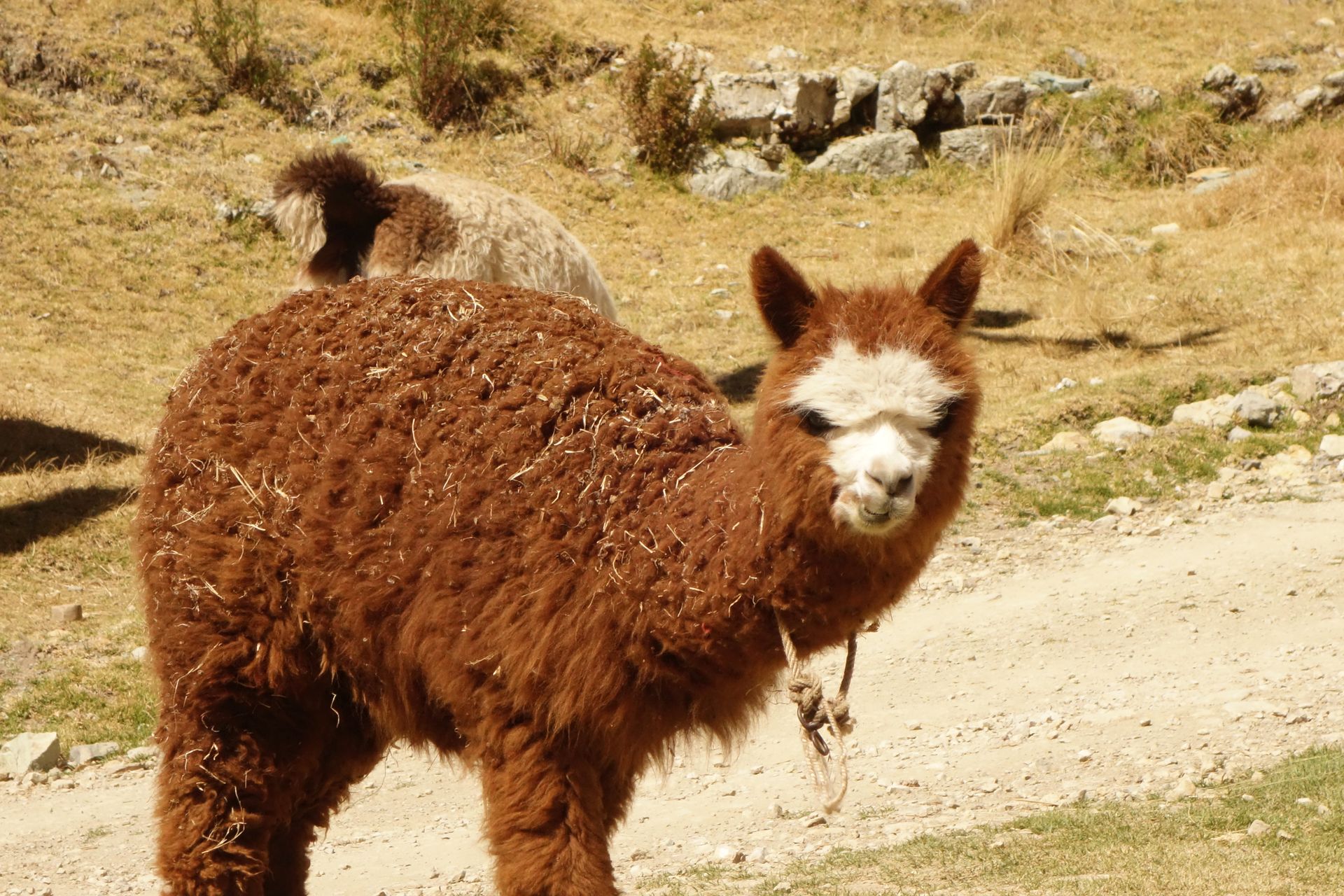
People in the countryside were all very nice - as always! Two people, three opinions, and unfortunately, I chose the wrong one. Maybe for the Bolivians, it was just a little ascent. Anyway, I pushed my bike uphill for 2 hours. Not a single car, not a single person crossed my path. There were a few sheep and llamas by the roadside. Nothing else. Just me and the mountain. And above all, the end - the antenna - was never in sight. I didn't know how much longer it would take. Occasionally, I calculated how much daylight I had left until it gets really cold and dark. But I wouldn't have lasted that long anyway. My personal death road is coming to an end. Suddenly, the antenna is actually within sight but still far away. And when I reach the top, I even meet two Czech hikers who are doing my tour in 6 days. From there it was truly all downhill and I had half an hour of downhill ride into the sunset and arrived in the city from a completely different side.
In retrospect, of course, it was a great tour. But I wouldn't do it like that again. Maybe rely on one of the other two opinions. Maps and information are simply scarce. Although I wanted to confront the guy from the tourist information again about the tip with the 'bike tour'. Anyway, I didn't notice anything about the soccer game. As a consolation, I had a family pizza and the certainty that I was in places where not many tourists had ended up before. I got the pizza in a family restaurant (from a family, not for families) where I had already been twice. This time I had to pay for the pizza in advance. Then the boy went to buy cheese and then there was a pizza, which the kid even made himself.
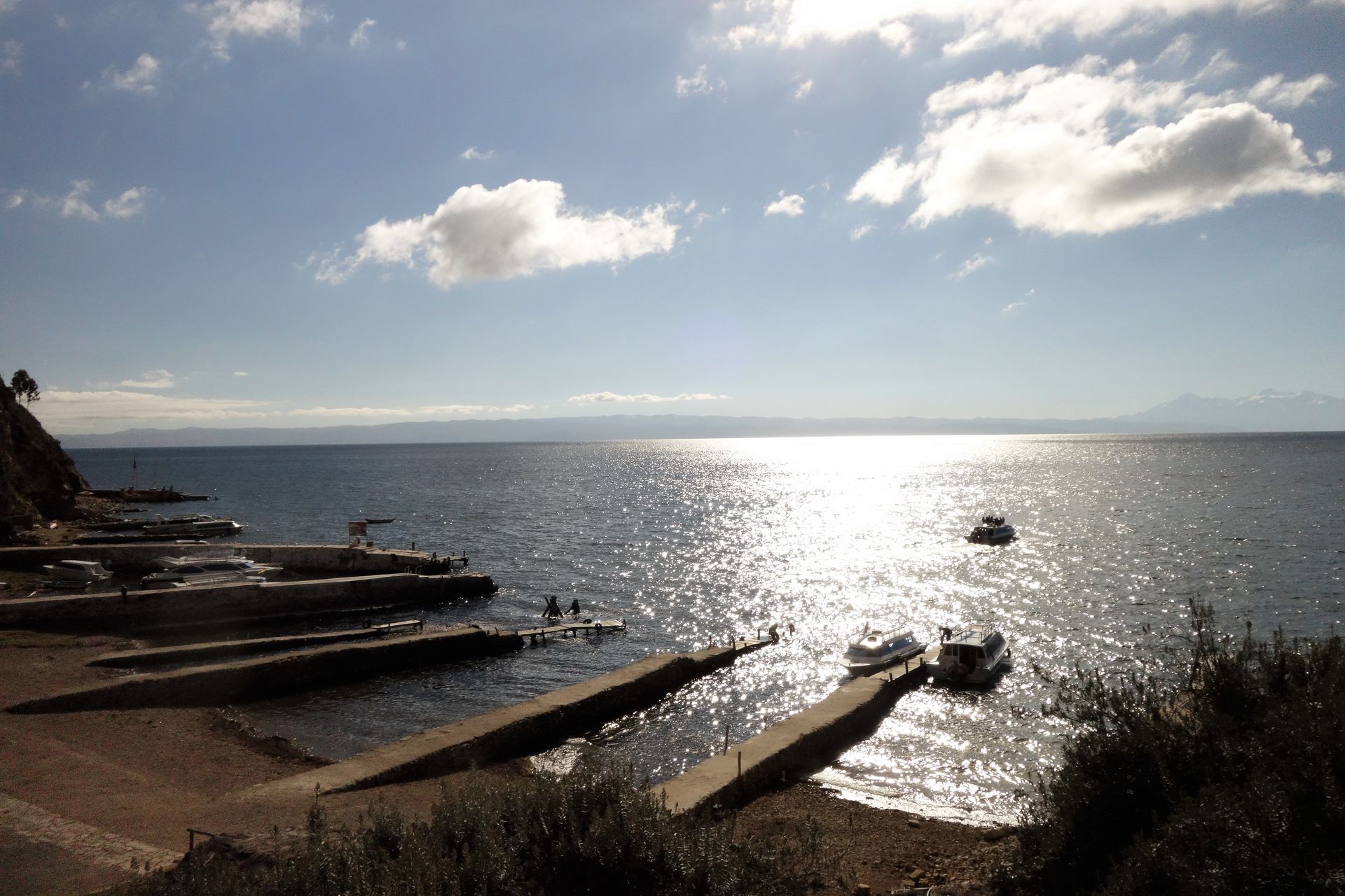
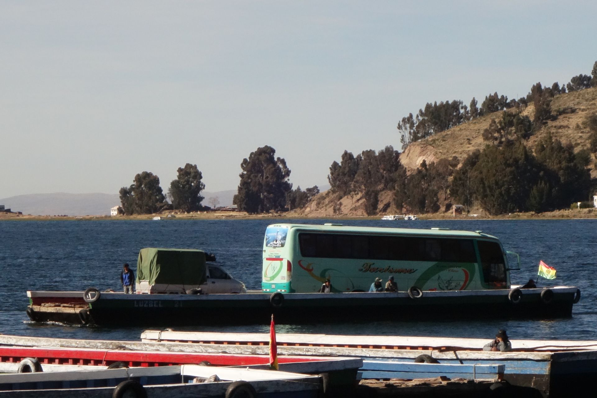
The next morning, we continued to La Paz! For that, we had to cross part of the lake again. We were dropped off and the bus got its own boat.
Ingwadiše go Lengwalo la Ditaba
Karabo
Dipego tša maeto Bolivia