From our campsite in Le Tilleul, we set off in the morning towards the coast.
 Coastal hike
Today, a 15-kilometer hike was planned, leading us along the white chalk cliffs to Étretat and back to our starting point.
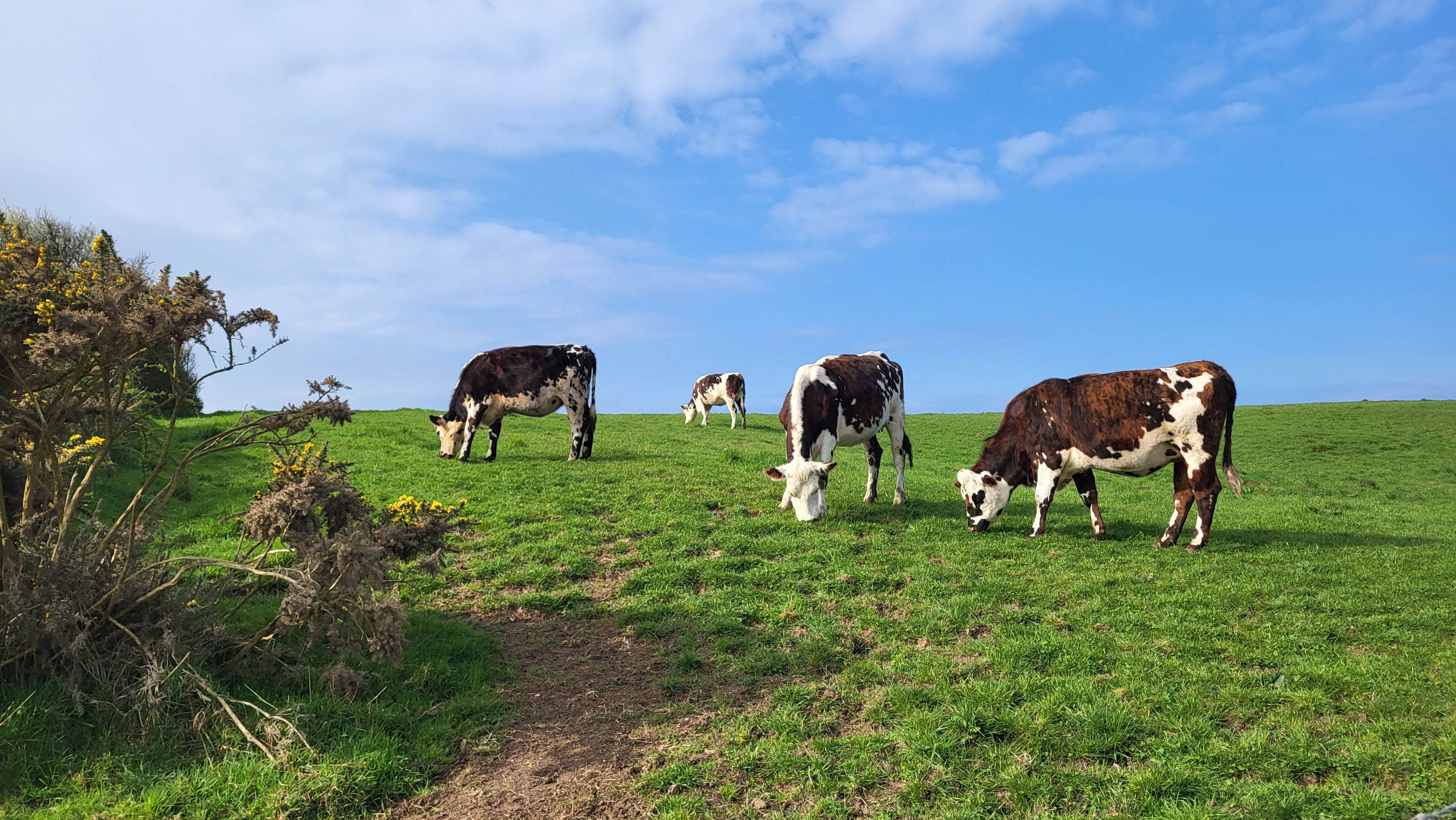 Norman cows
At the “Phare d'Antifer,” a lighthouse on the coast, we reached the water.
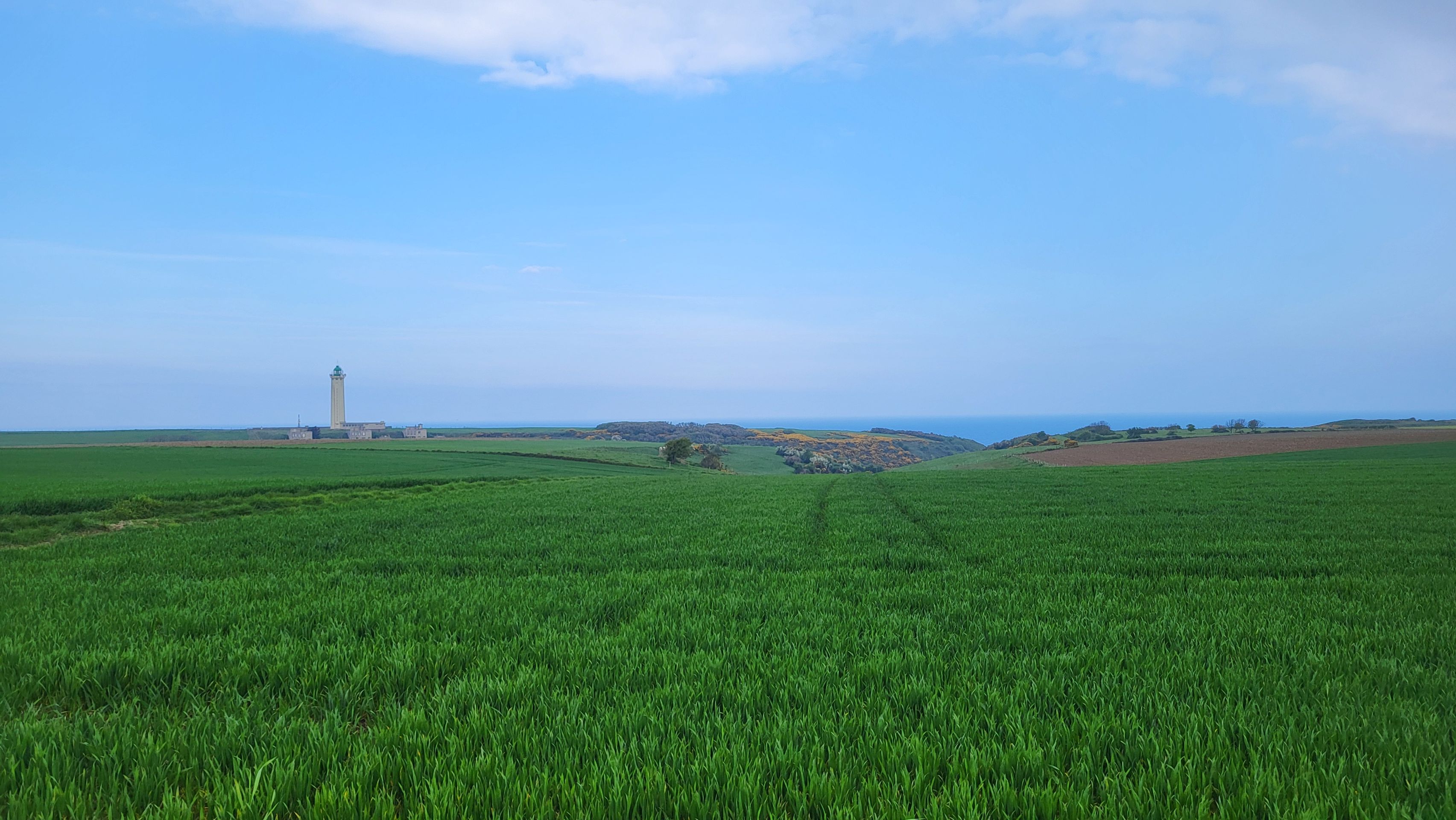 Phare d'Antifer
The predecessor of the lighthouse was destroyed by German troops in 1944, and the current structure was rebuilt in the 1950s.
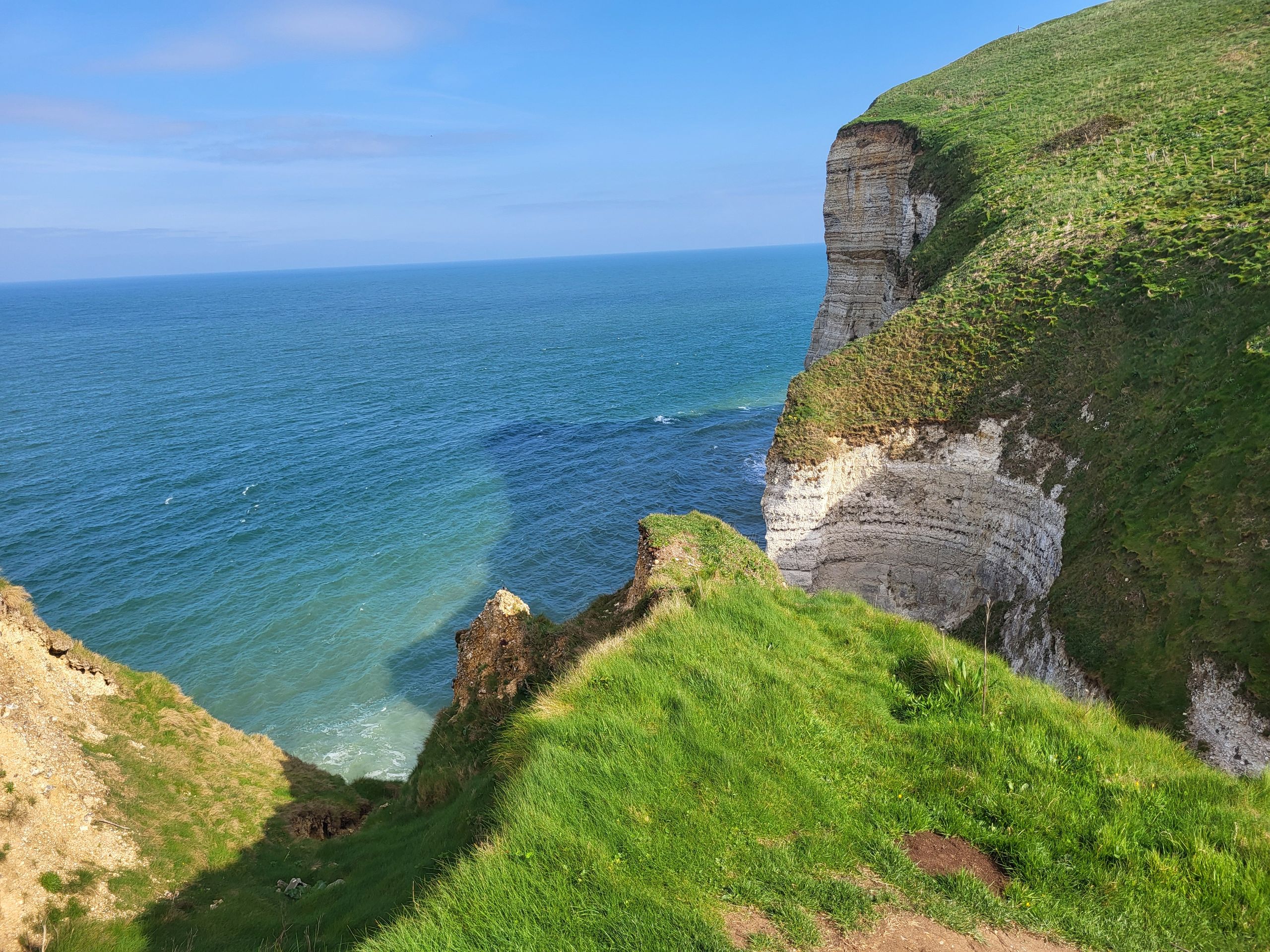 Chalk cliffs
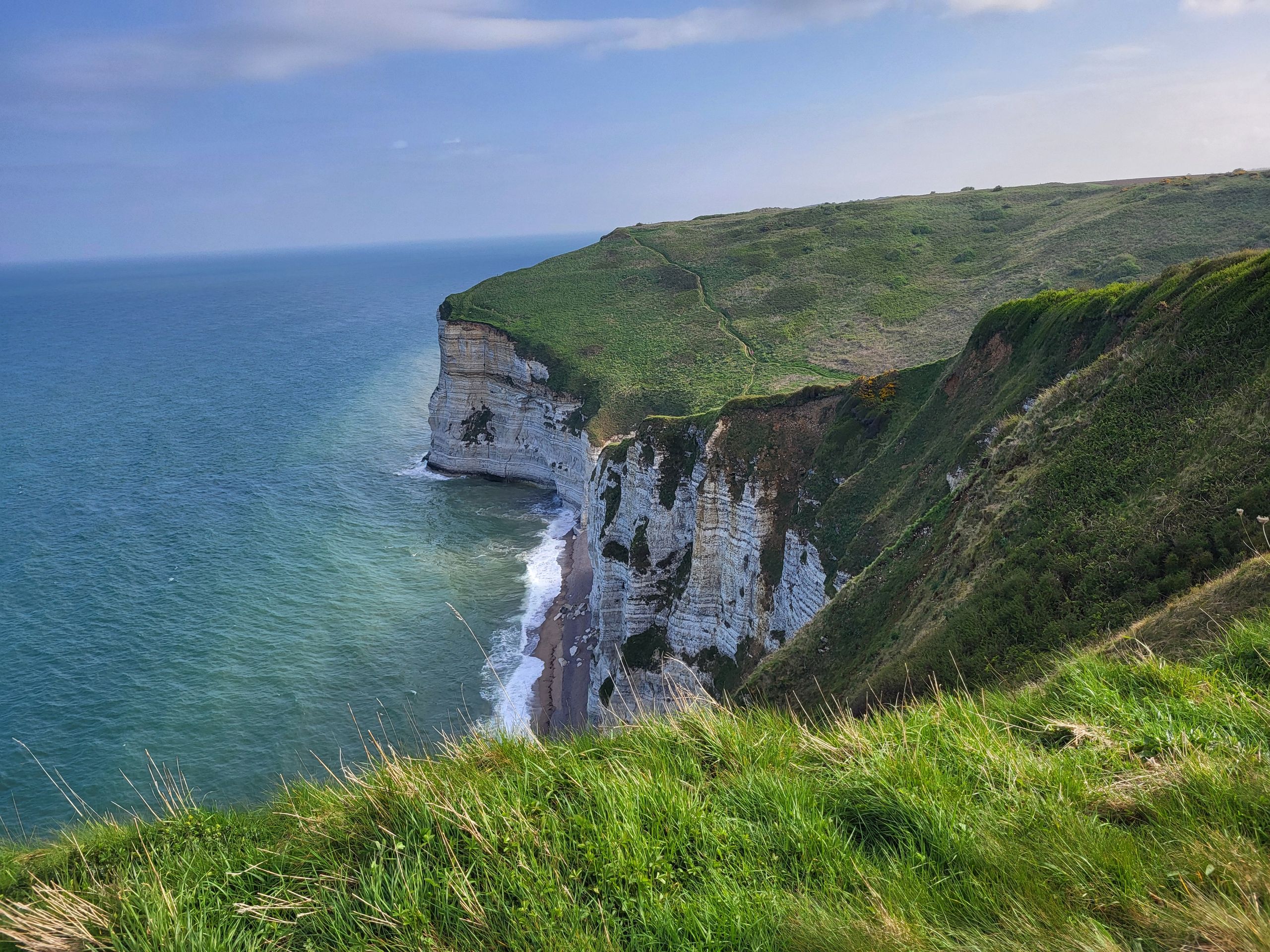
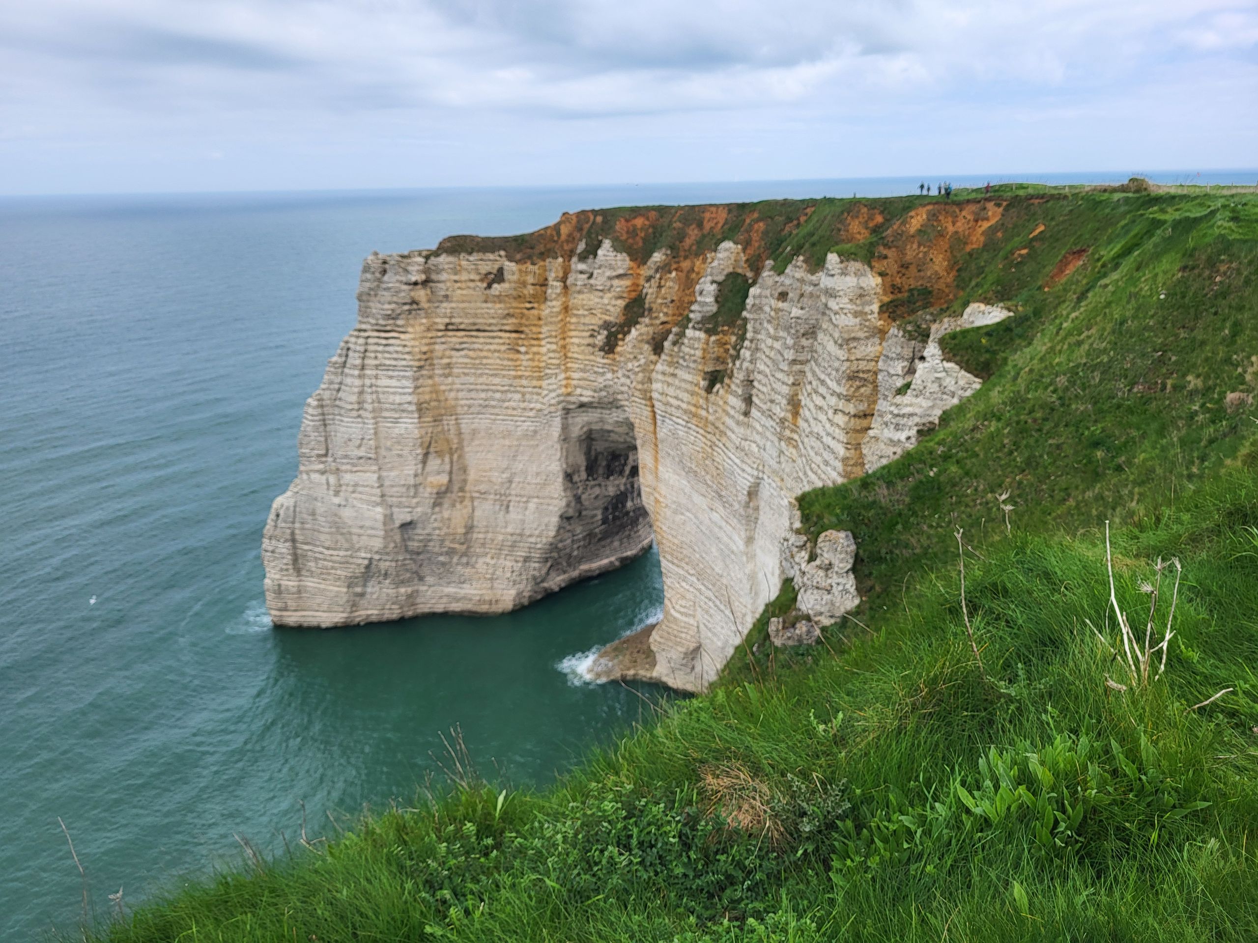
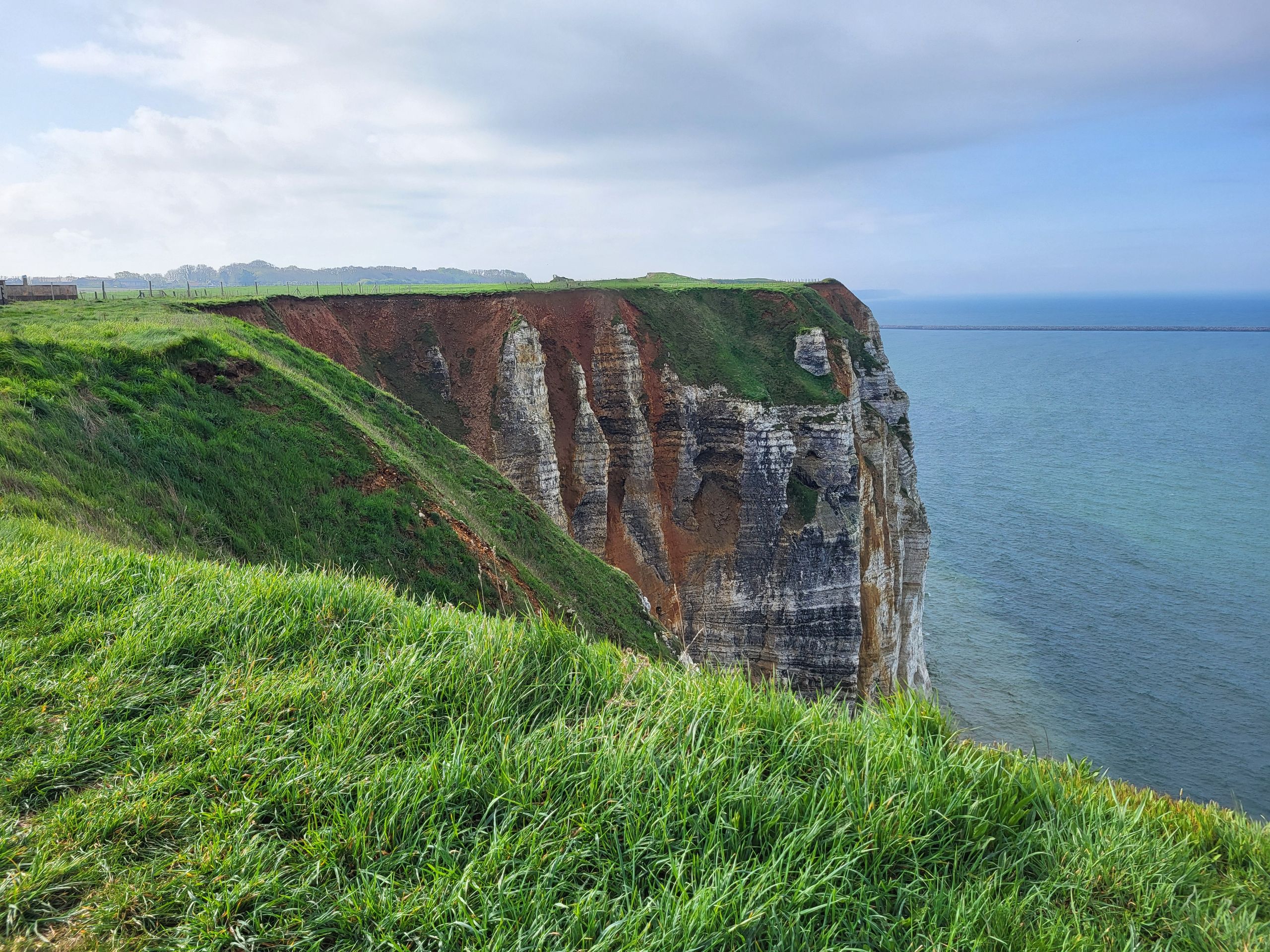
We saw the first chalk cliffs of the steep coast, which glowed white in the light of the sun now peeking out from behind the clouds.
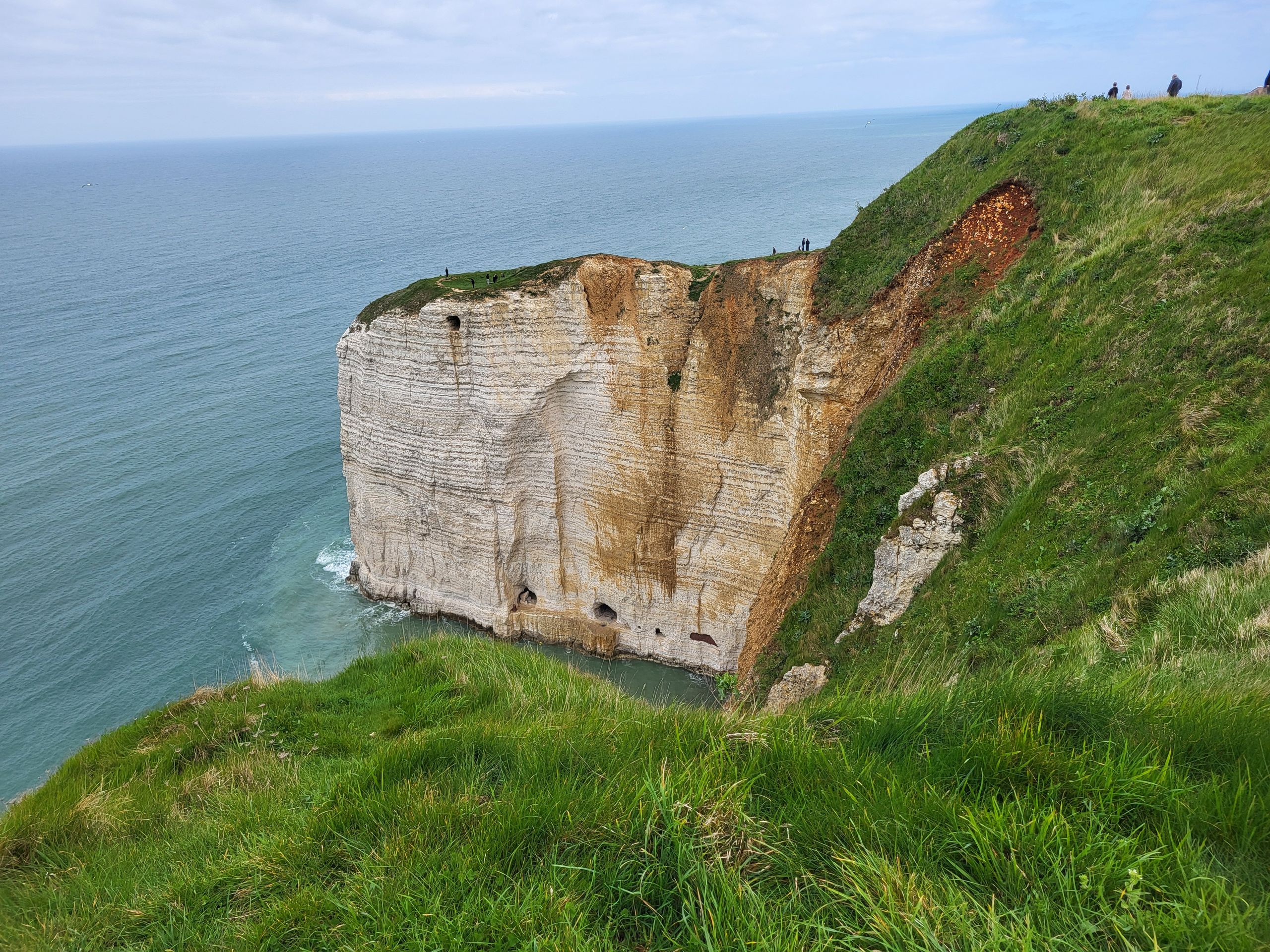 Chalk cliffs
Due to the white color of the cliffs, the coast is also known as the “Alabaster Coast.”
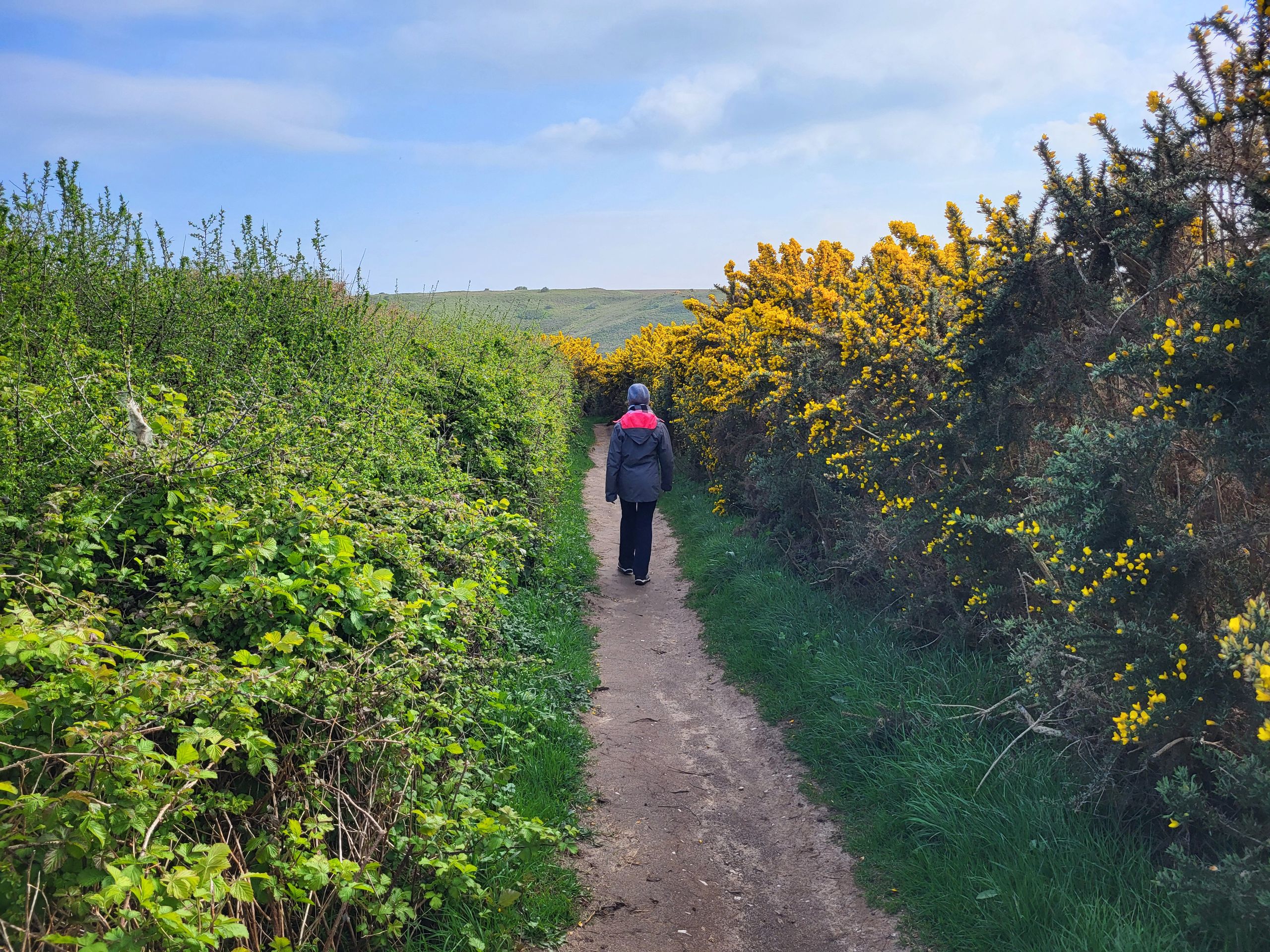
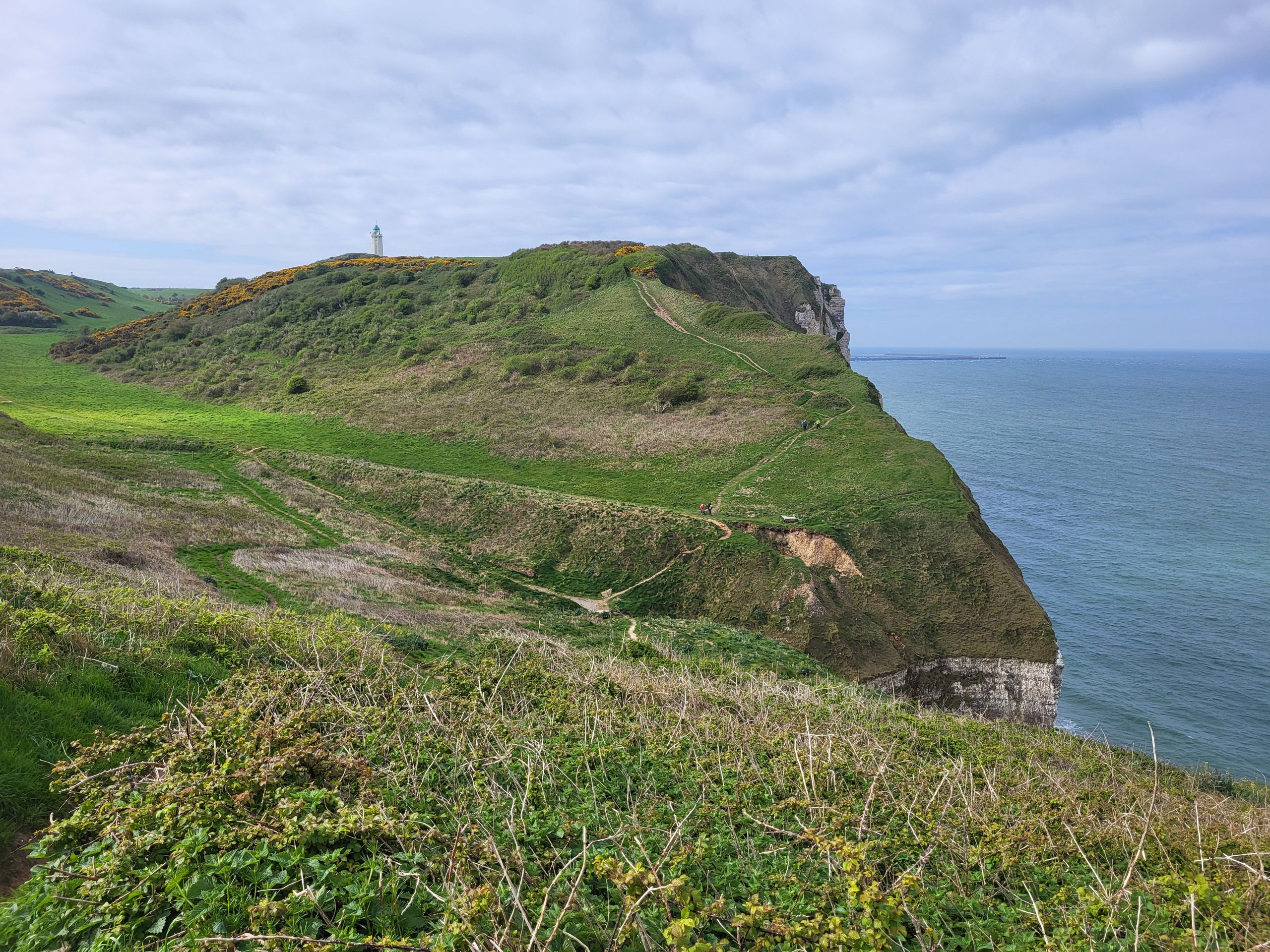 Trail along the coast
Occasionally, valleys (valleuses) interrupt the steep coast.
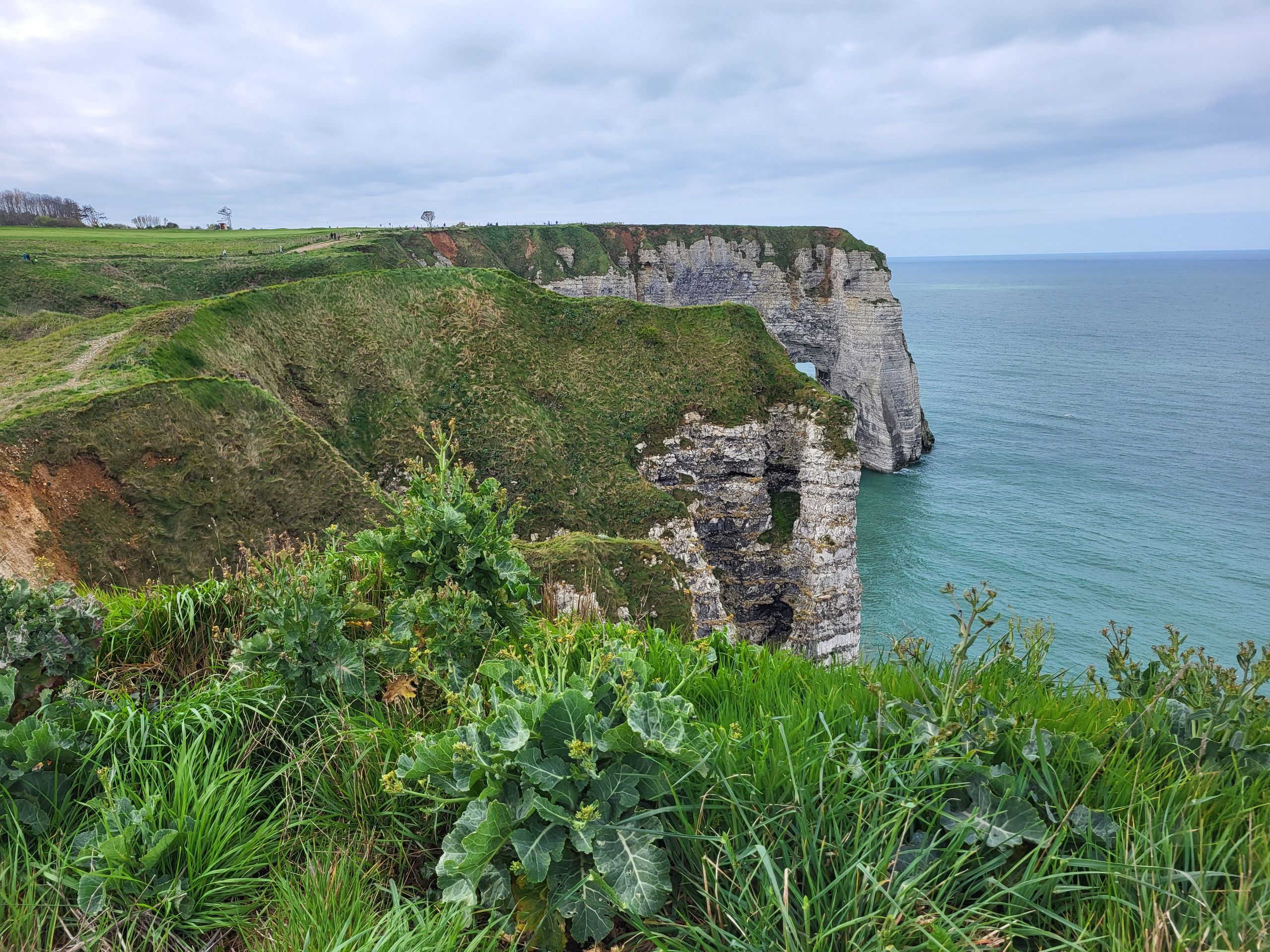 Chalk cliffs
At the first valley, we went down to the stony beach and looked at the cliffs from below.
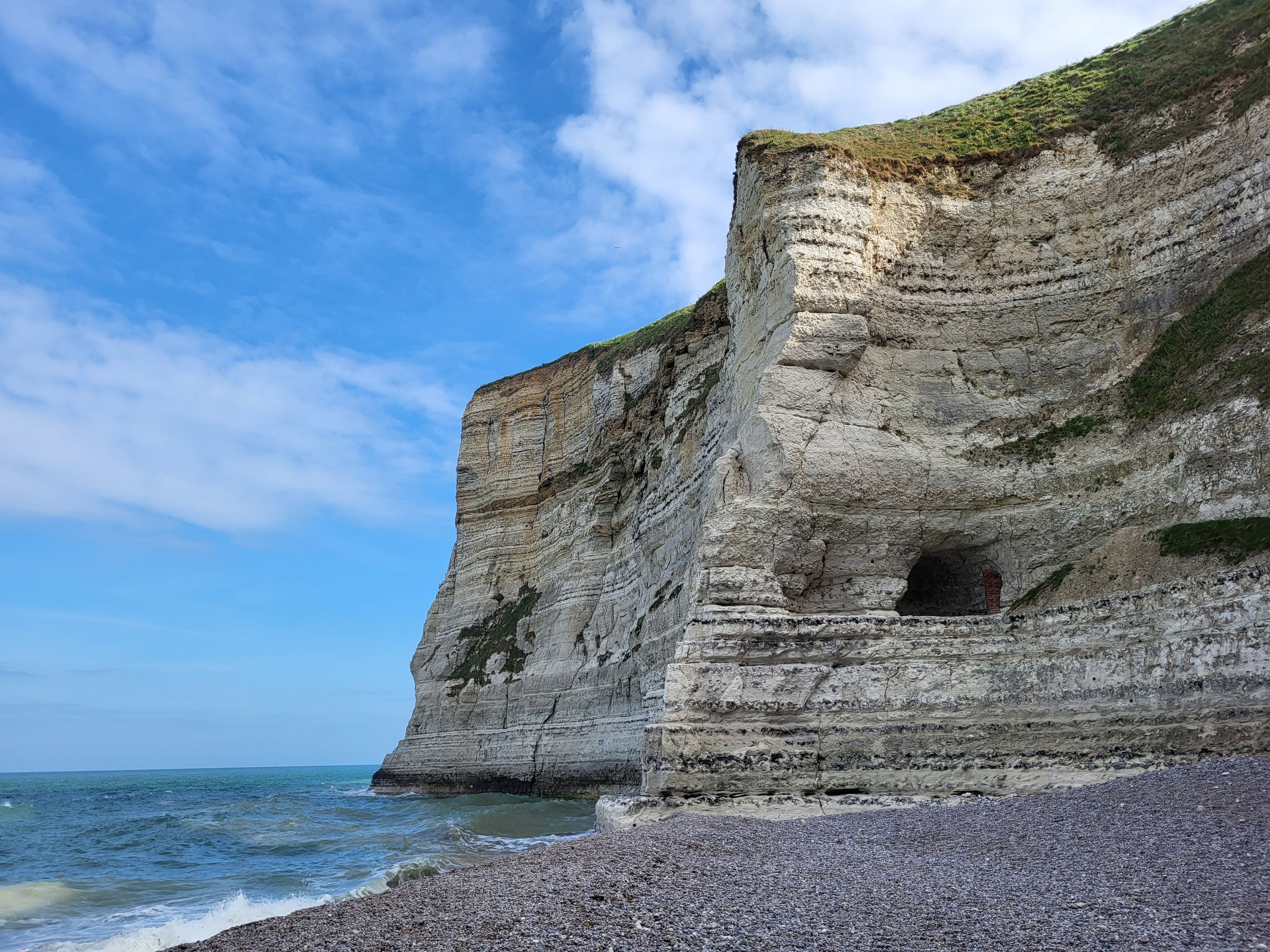 At the beach
After a tea break with a view of the sea, we began the ascent again.
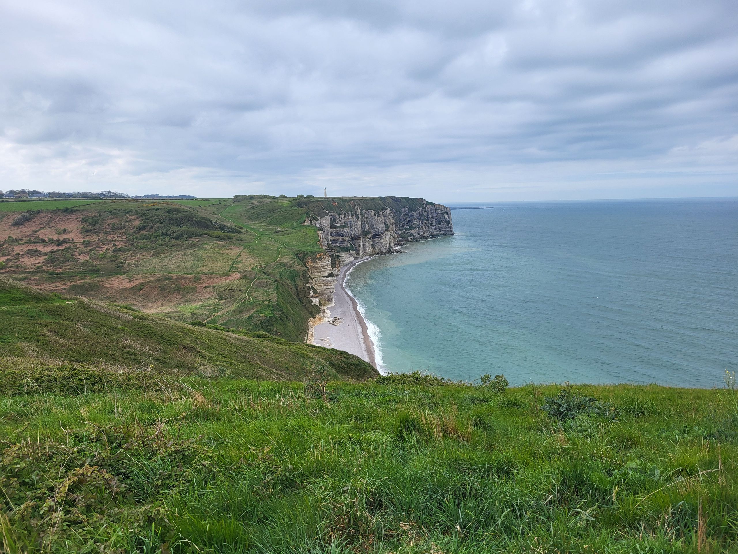 Chalk cliffs
On our way, we repeatedly went up and down as we had to overcome the valleys.
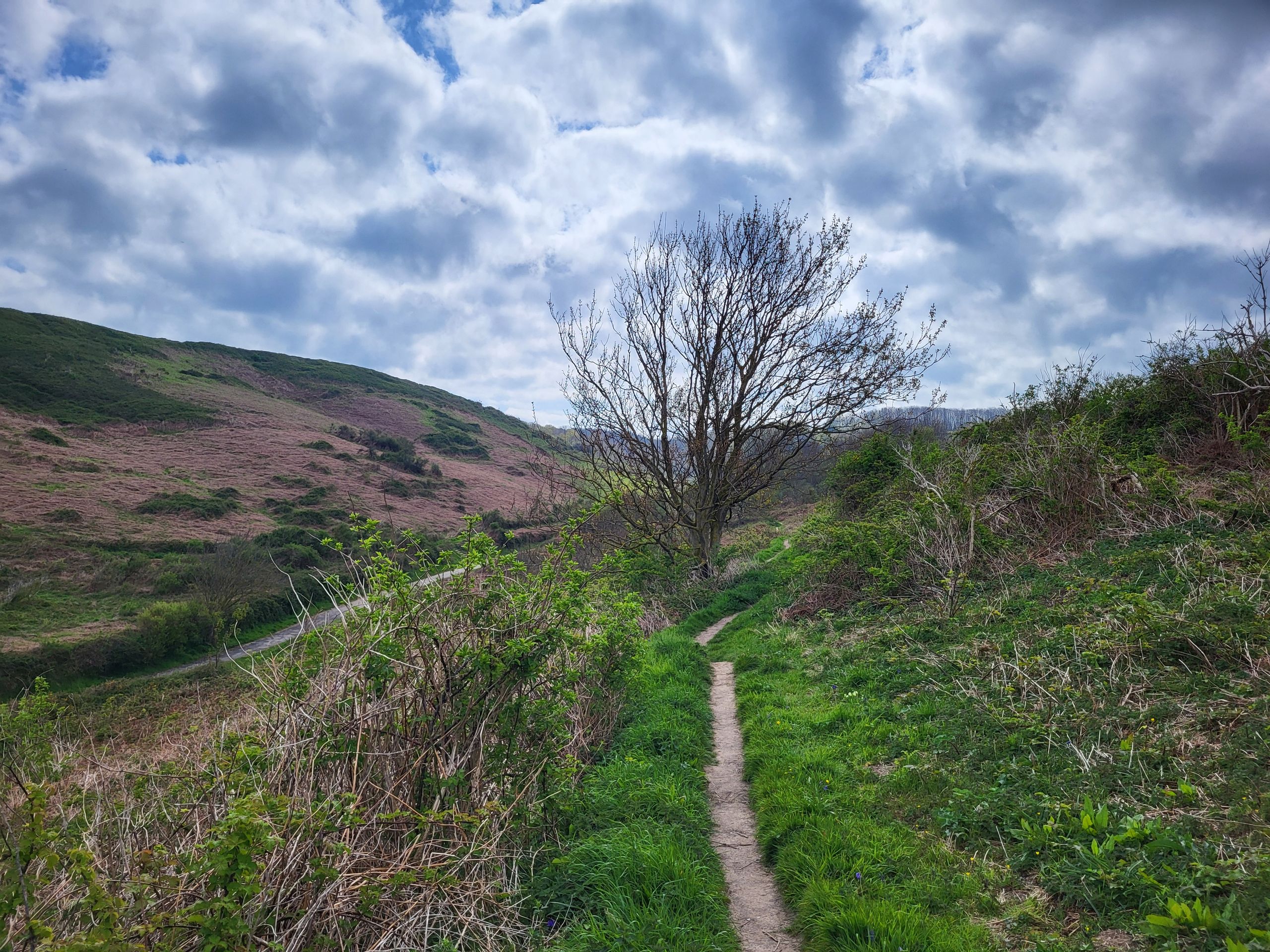 Trail
TrailThe closer we got to the famous resort of Étretat, the more people we encountered.
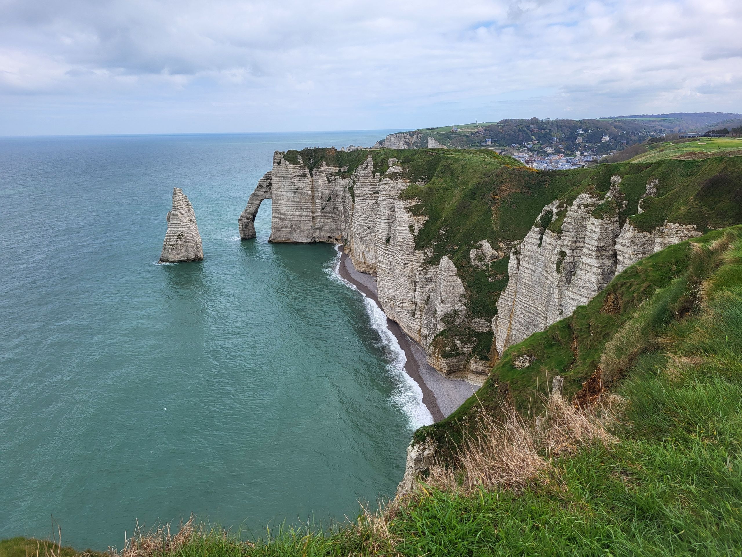 'Elephant trunk'
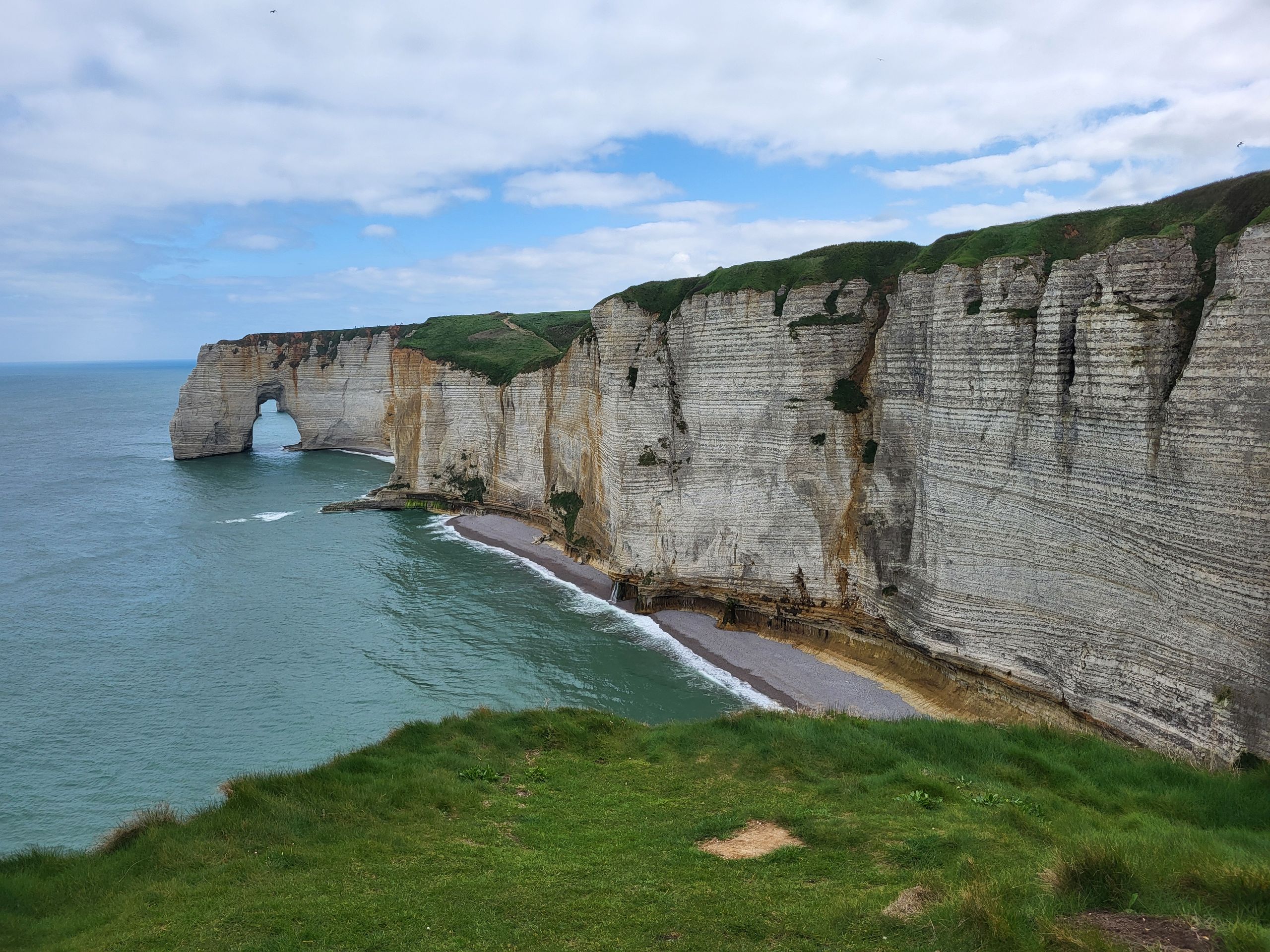
At the last viewpoints, there were particularly beautiful formations to see - although this was also where most visitors were found.
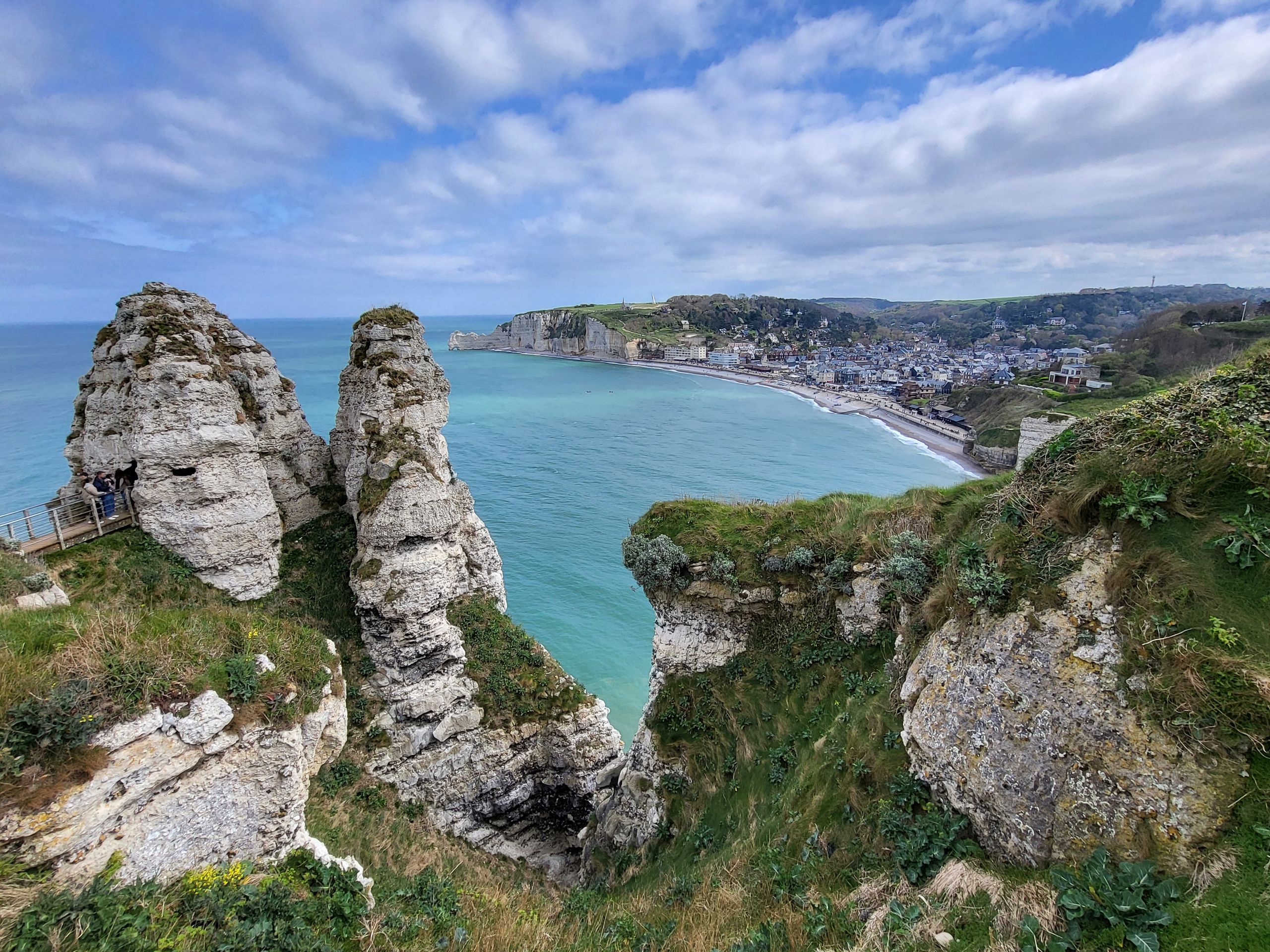 Chalk cliffs
The path to Étretat went down again, as the town is located in a valley.
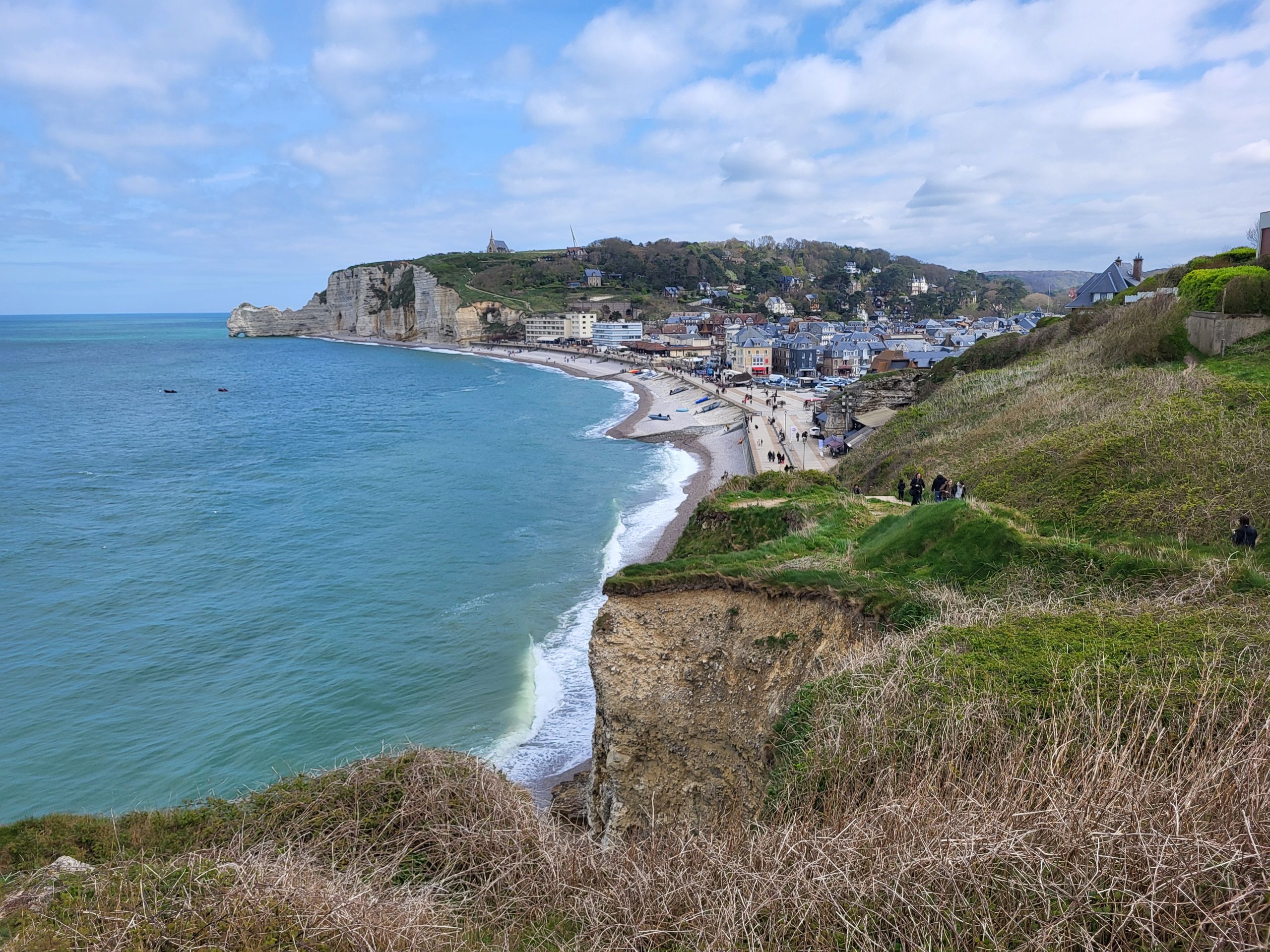 Étretat
 From the wide promenade, there is also a good view of the chalk cliffs.
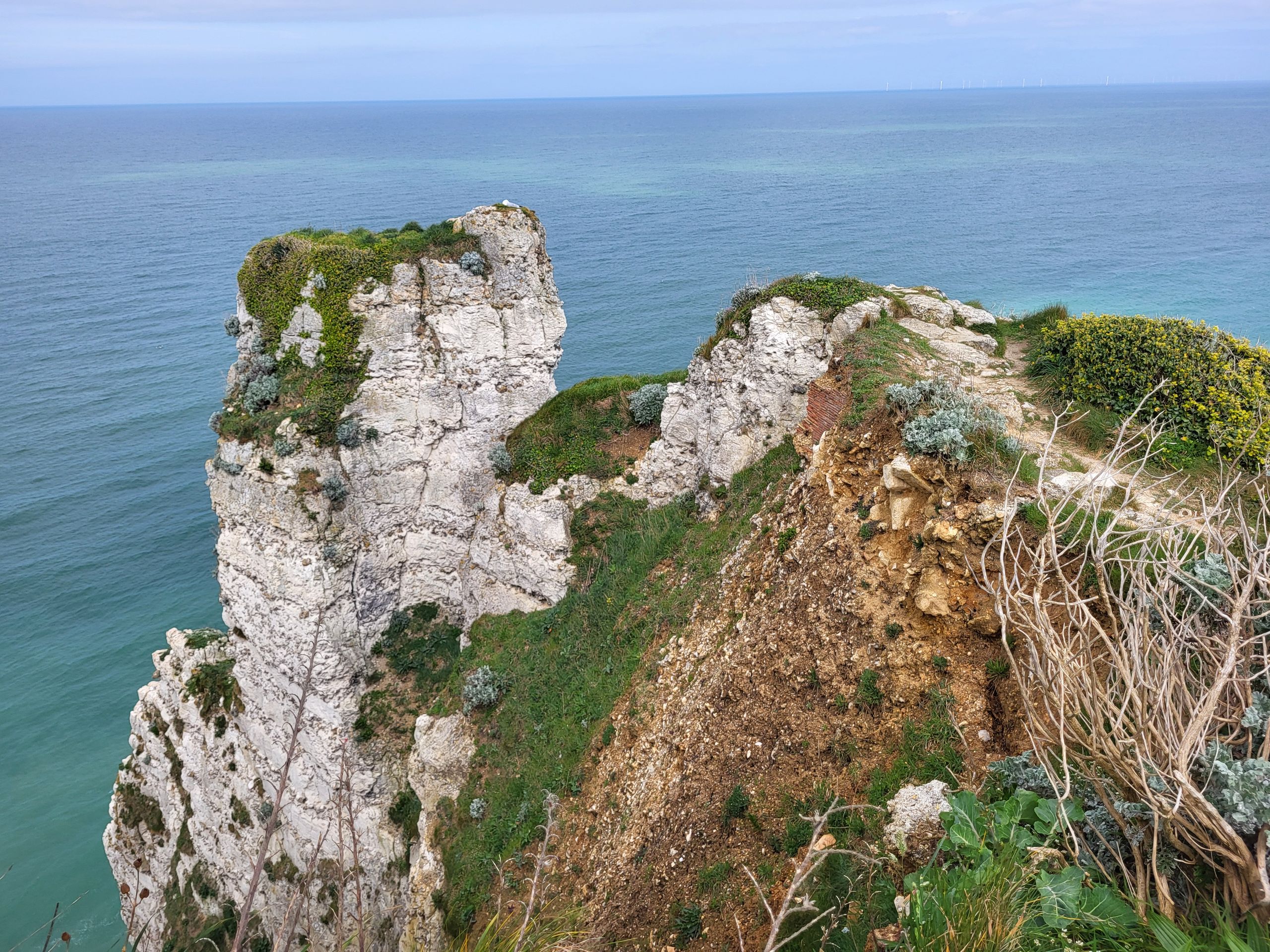 Chalk cliffs
Monet painted several of his pictures here, as indicated by information panels along the promenade with a “right here” marker.
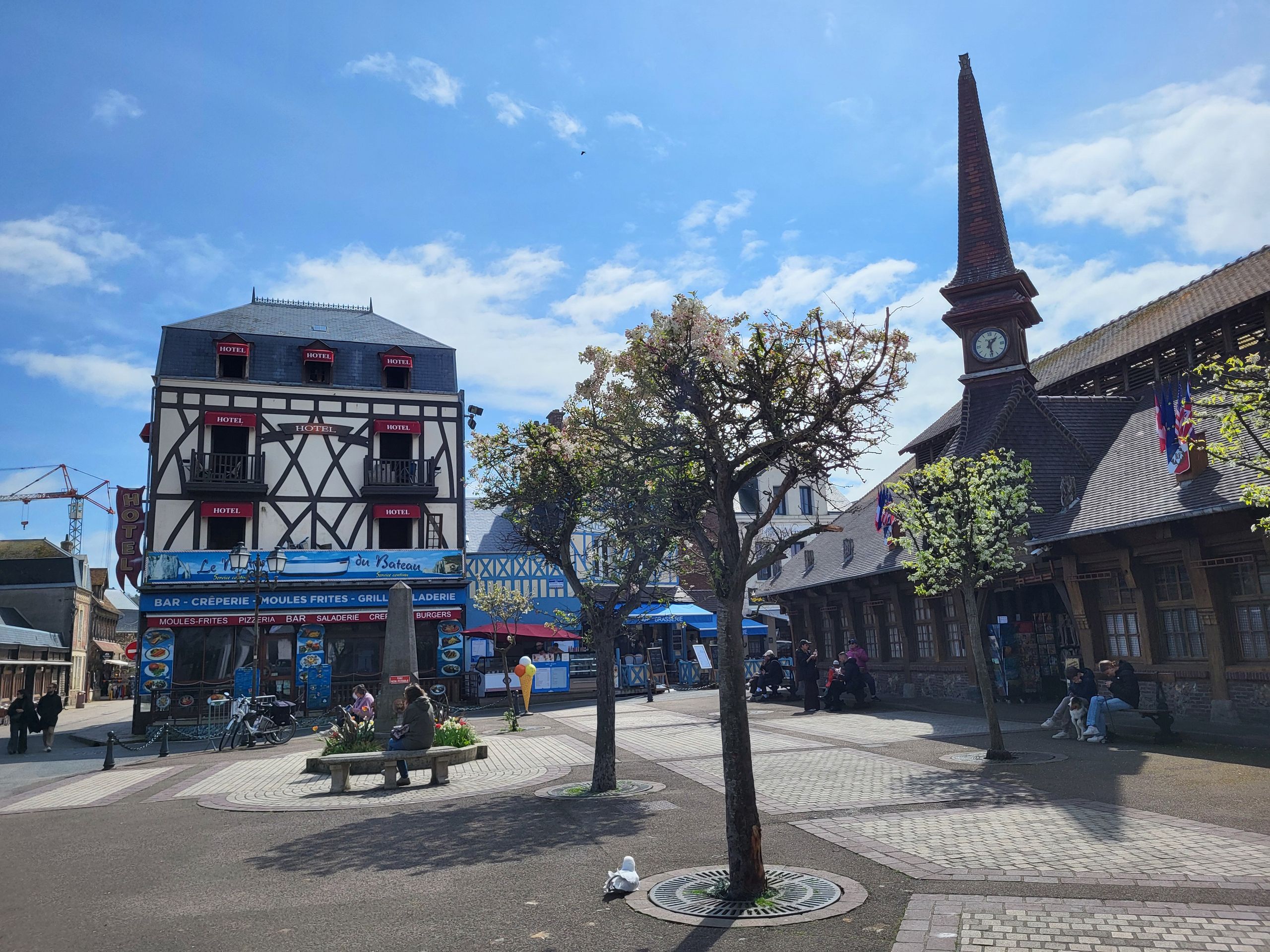 Étretat
We strolled a bit through the town, which largely consists of older houses that testify to the history of the seaside resort.
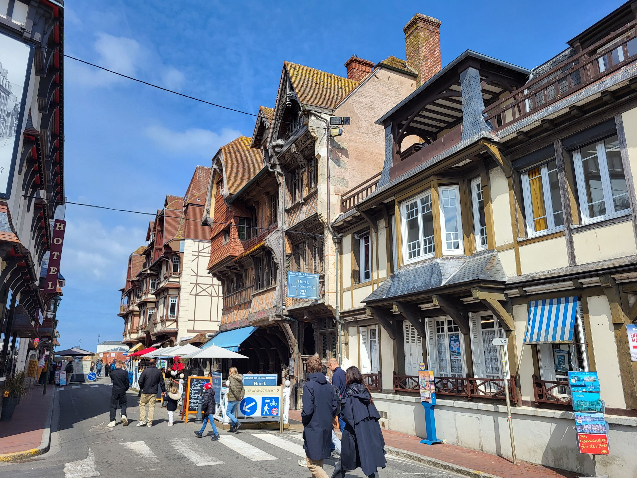 Étretat
After a little refreshment, we walked along Rue Offenbach with its villas and palaces before making our way back.
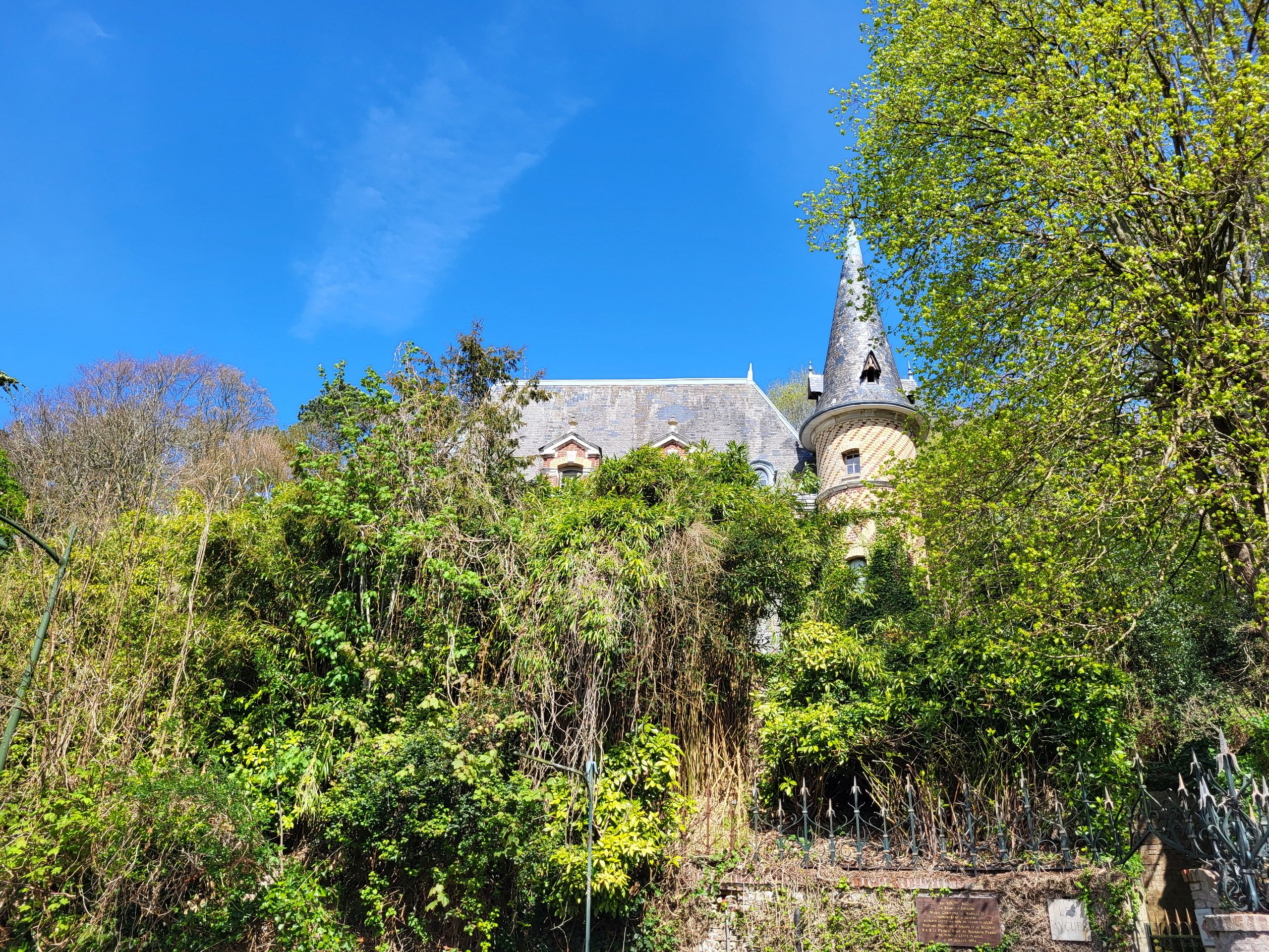 Rue Offenbach