Neuseeland: 8000km solo durch das schönste Ende der Welt
vakantio.de/8000km_durch_neuseeland
Day 13 - Black Beach in Kawhia & first glimpse of volcanoes
Pubblicato: 08.08.2019


Iscriviti alla Newsletter
27th December 2014
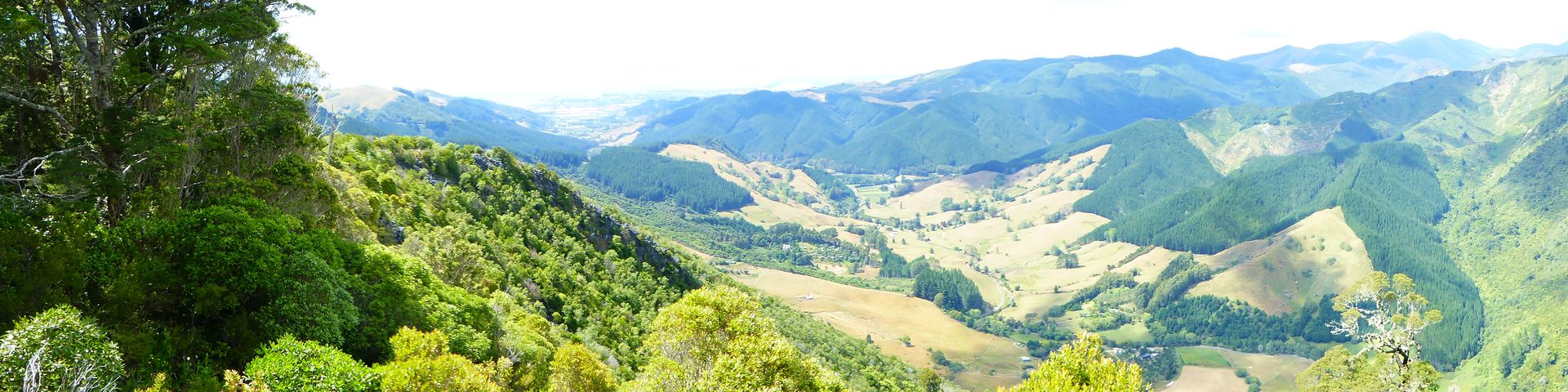
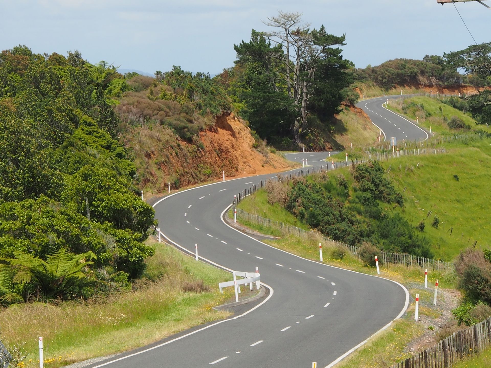
After the somewhat long tour yesterday, I sleep until just before 9 o'clock. And since I bought bread rolls, Camembert, and yogurt at the supermarket yesterday, I have a royal breakfast. Coffee fails because the milk is sour. So, I have orange juice instead, which I had for dinner yesterday. I don't leave until 10:15 and I have in mind to go as far south as possible, but skipping the caves in Waitomo with stalactites and glowworms, they charge $75 for admission, that's tourist rip-off and not for me. So, I take Highway 3 south and then Highway 31 west. The road is fantastic, through the typical hilly landscape of New Zealand, which is called Hobbiton. I feel reminded of that as I drive curve after curve on this road. Eventually, I am on one of the many hills and now I can see the Tasman Sea. Or it's one of the two huge natural harbors, which are more like bays: Aotea Harbour or Kawhia Harbour. Sheep are bleating beside me, otherwise it's peaceful and beautiful. The weather is fine, with clouds and sun in the mix, and the usual 21-22 degrees.
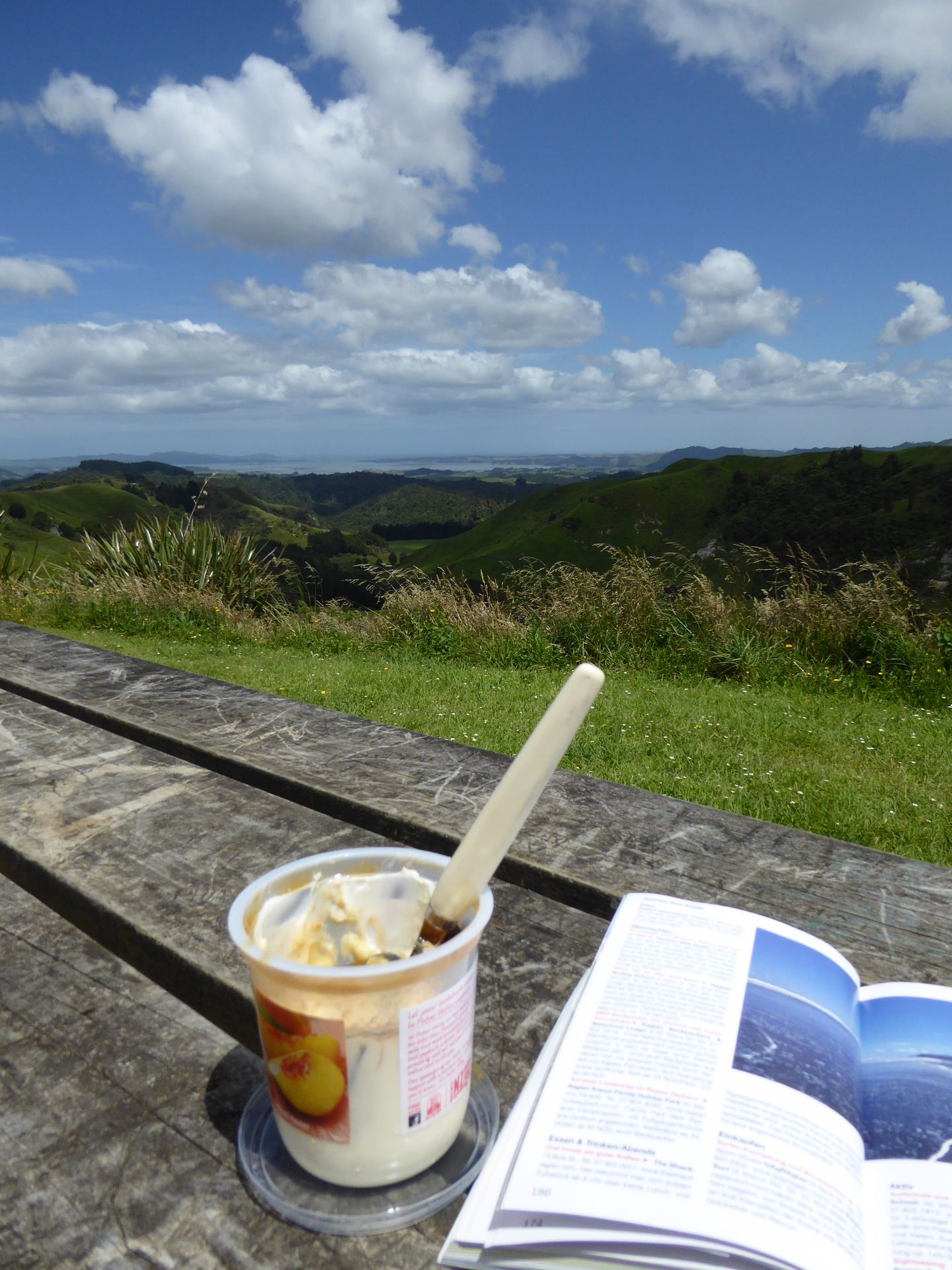
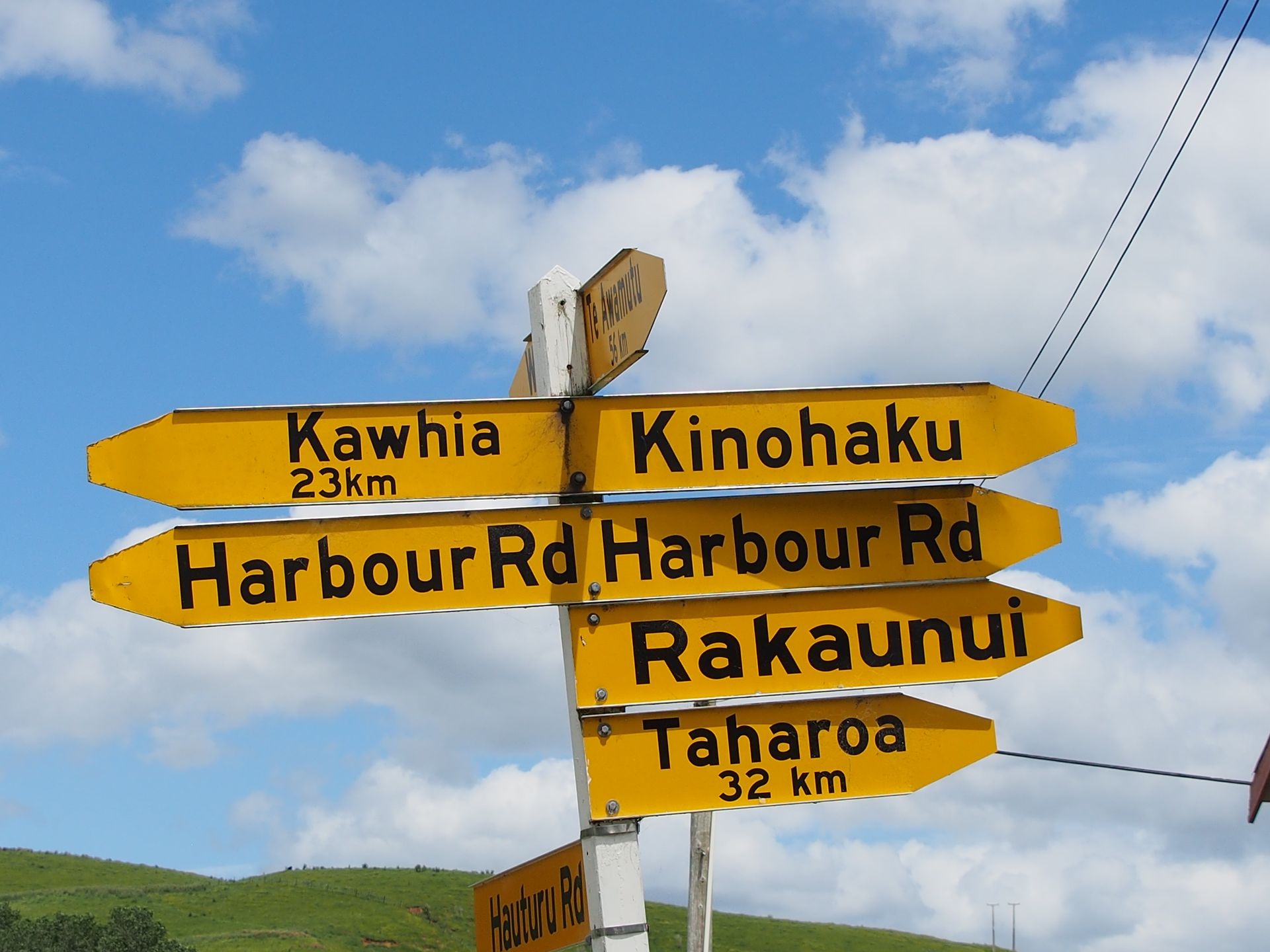
I take a short break here with my remaining yogurt and then continue winding down the road. The journey to Kawhia is dragging on. This is another important Maori place, which is why I'm heading there now. Besides, the beaches in this coastal area are black.
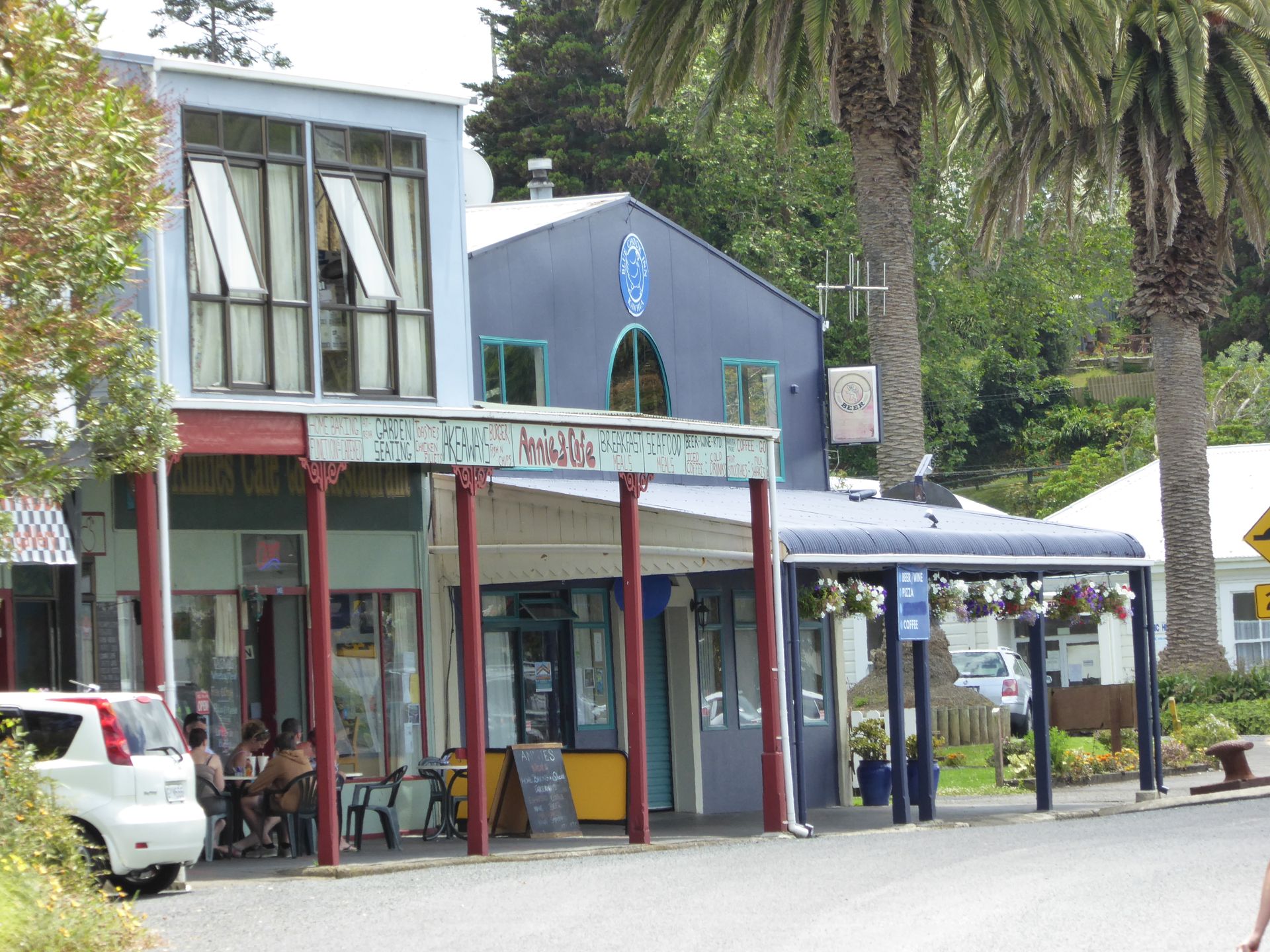
I reach Kawhia around 11:30. It's a sleepy nest where a few tourists sit in the town's two cafés.
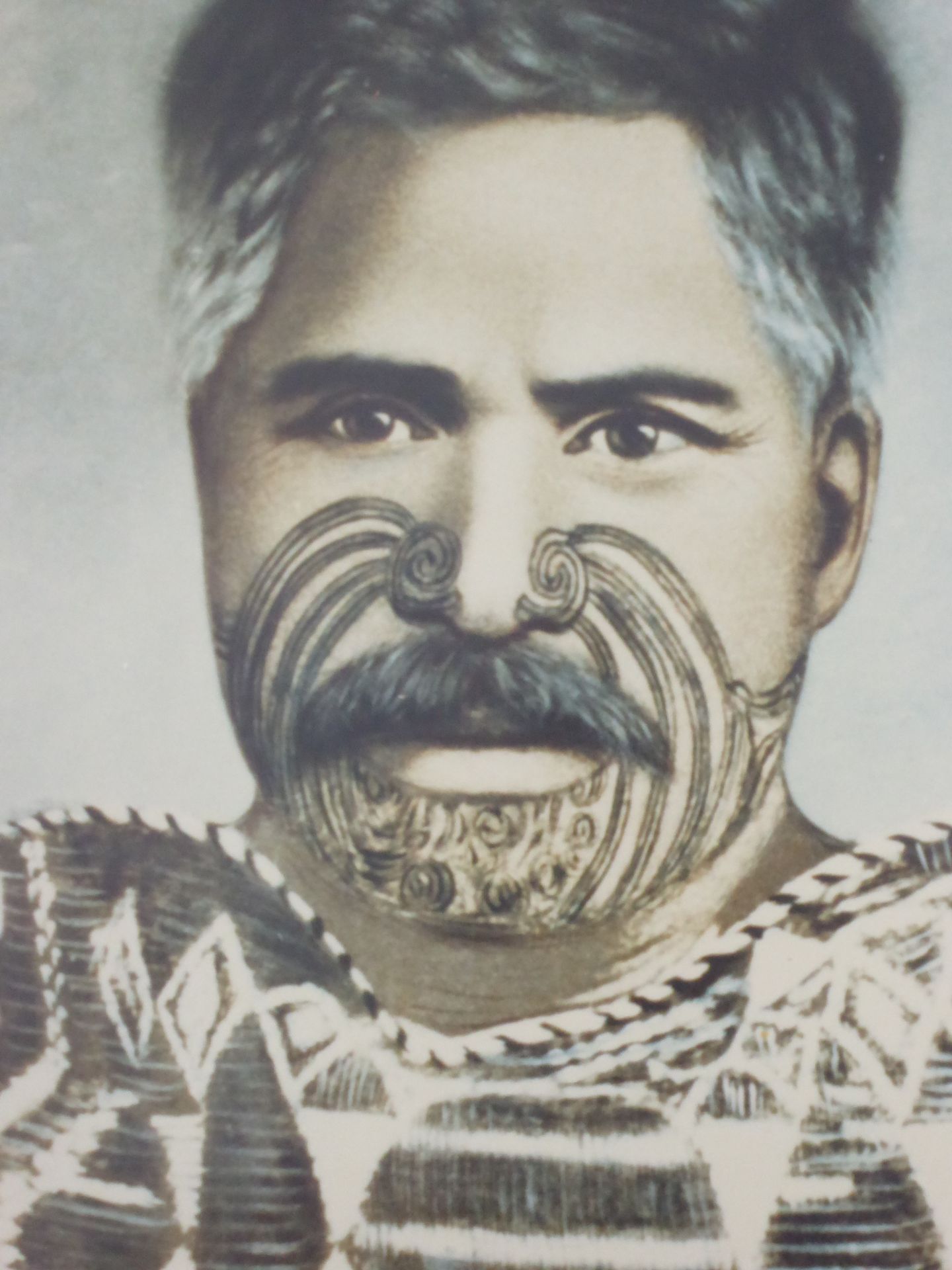
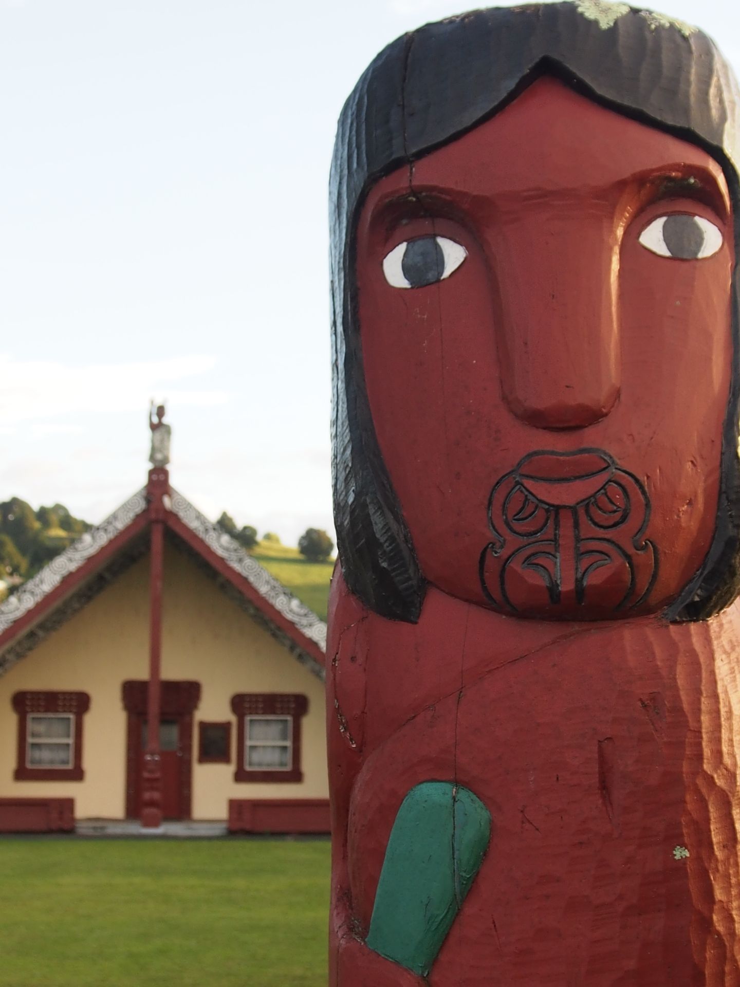
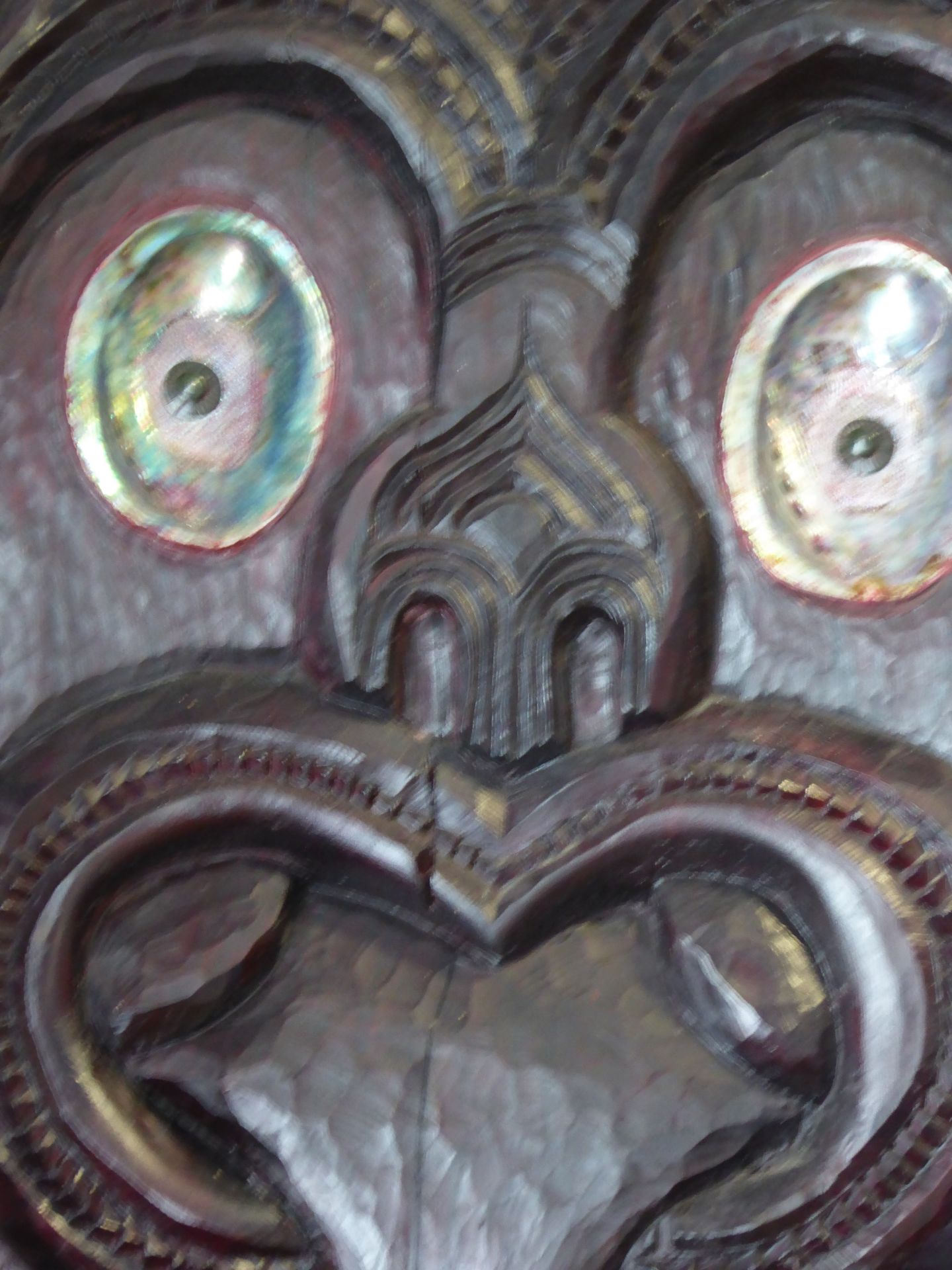
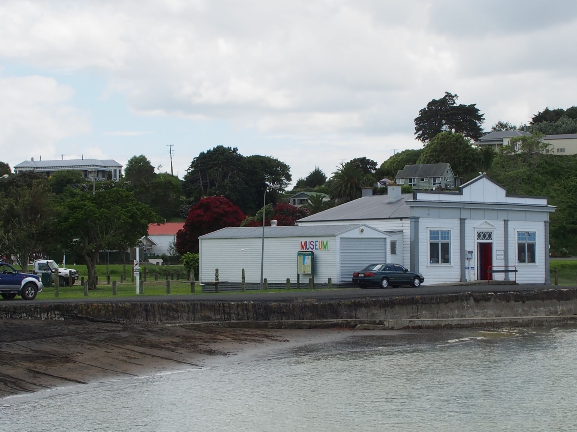
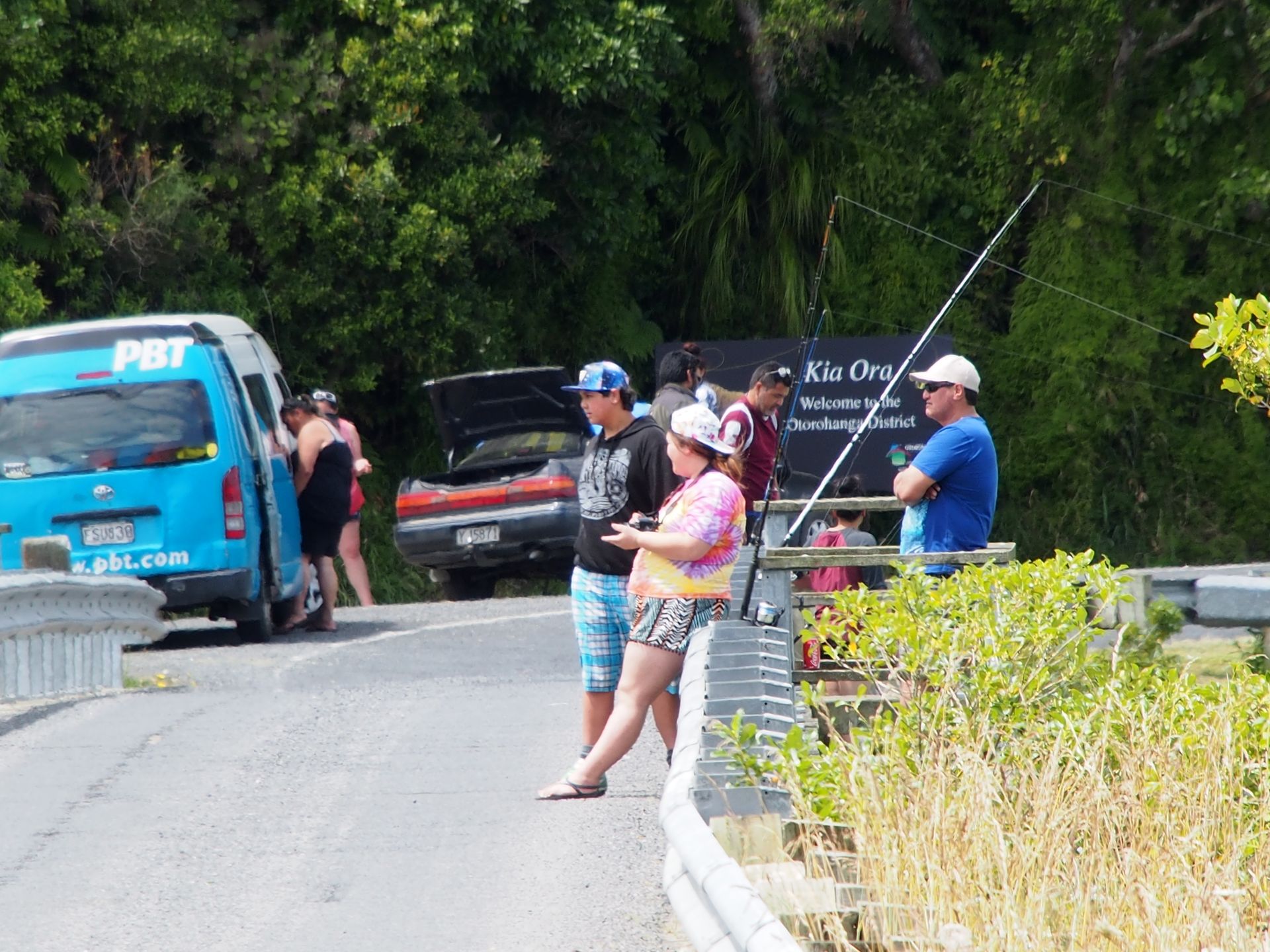
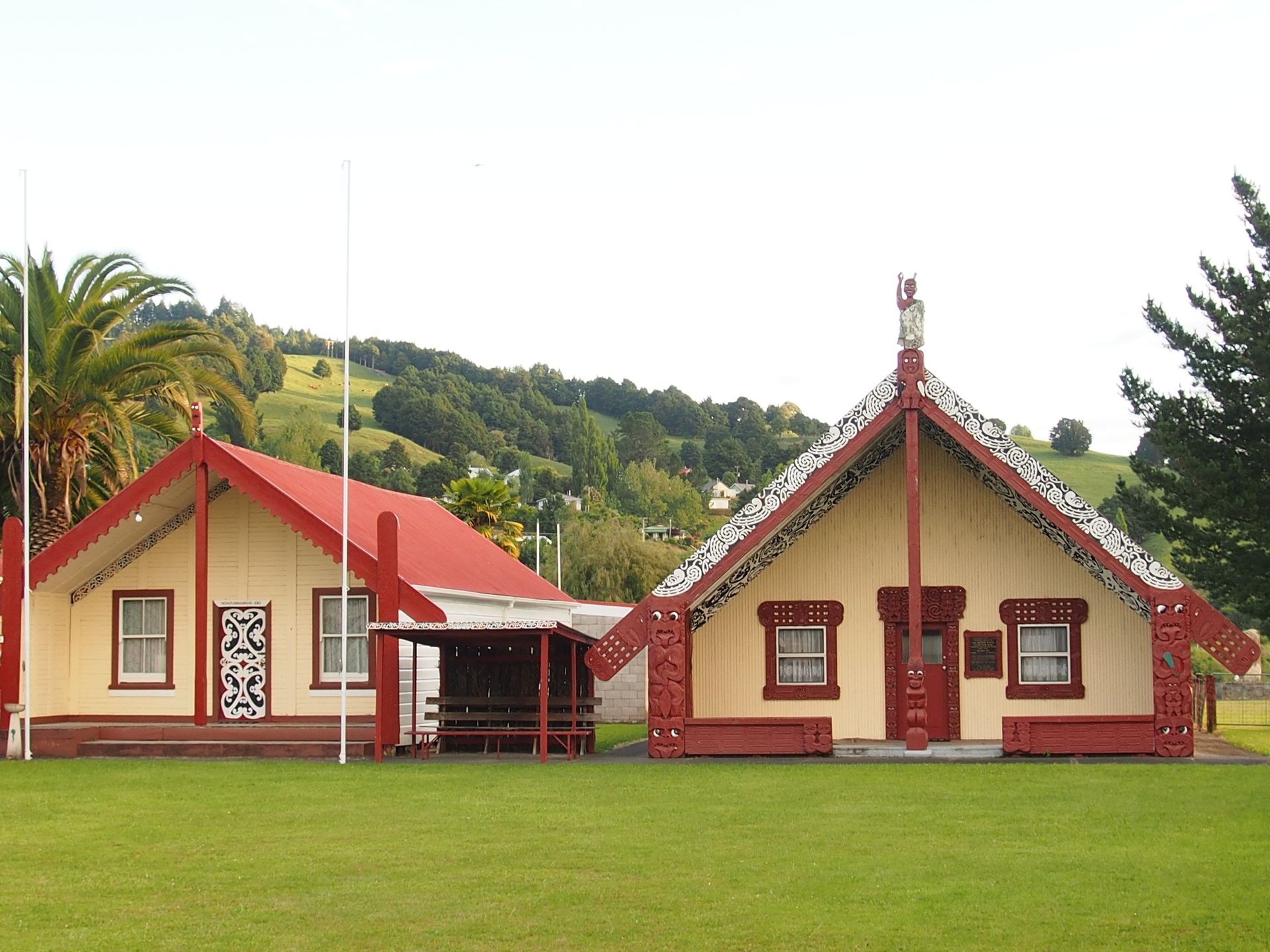
Otherwise, people sit on the small pier and fish or play on the lawn in front of the Kawhia Museum. Here in Kawhia - pronounced Kaff-ia (with emphasis on the first syllable) - the Waka (canoe) Tainu with its crew landed. The Tainu Maori tribe has its spiritual center here. Unfortunately, I am unable to visit the Marae (meeting house), it's only possible with an invitation anyway, but sometimes you can catch a glimpse from the outside. Not here though. Because there, the two ends of the old Waka are marked with two stones - thus marking a kind of birthplace of the Tainu. I would have liked to see that, but oh well, it's not possible now.
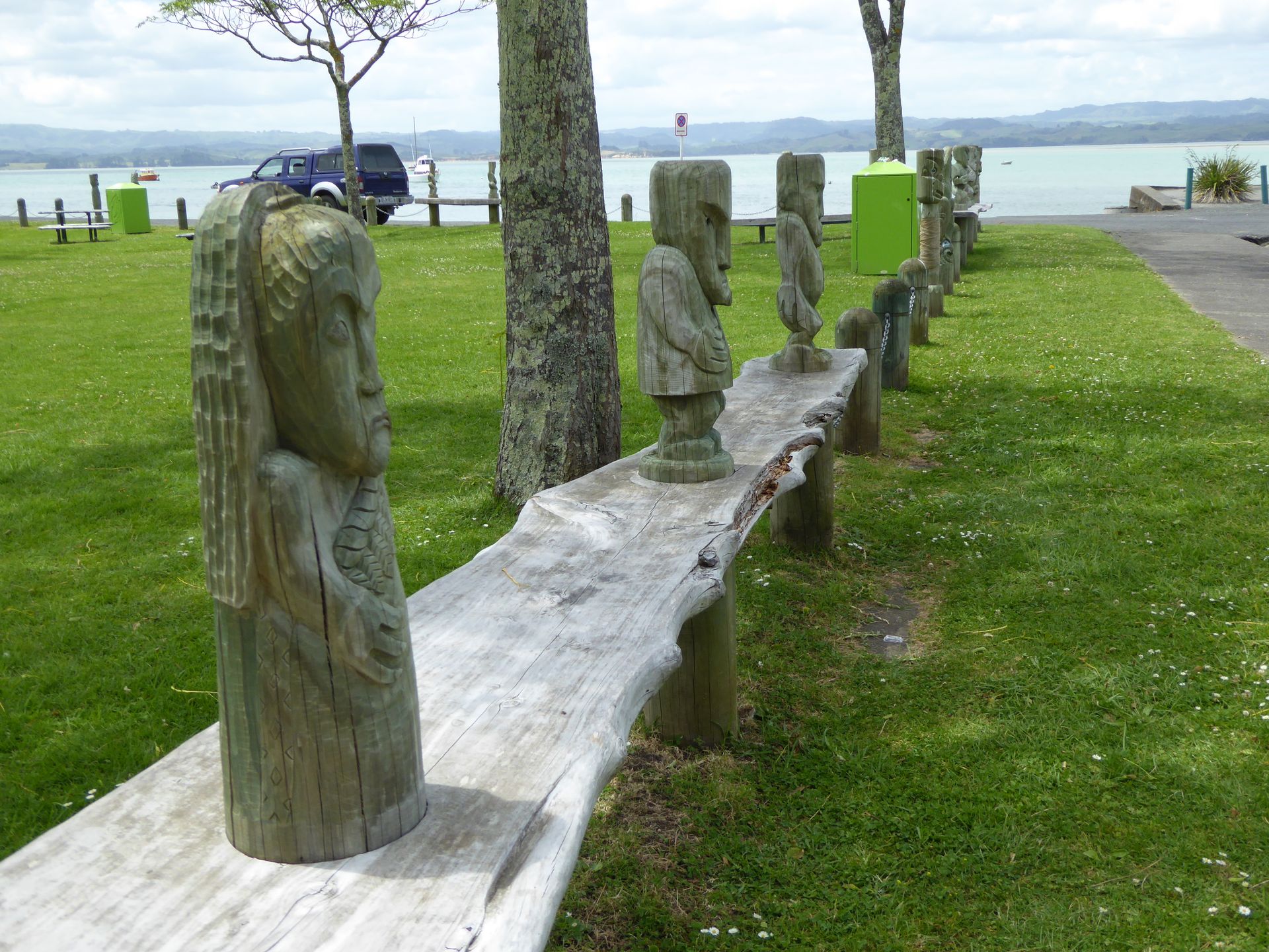
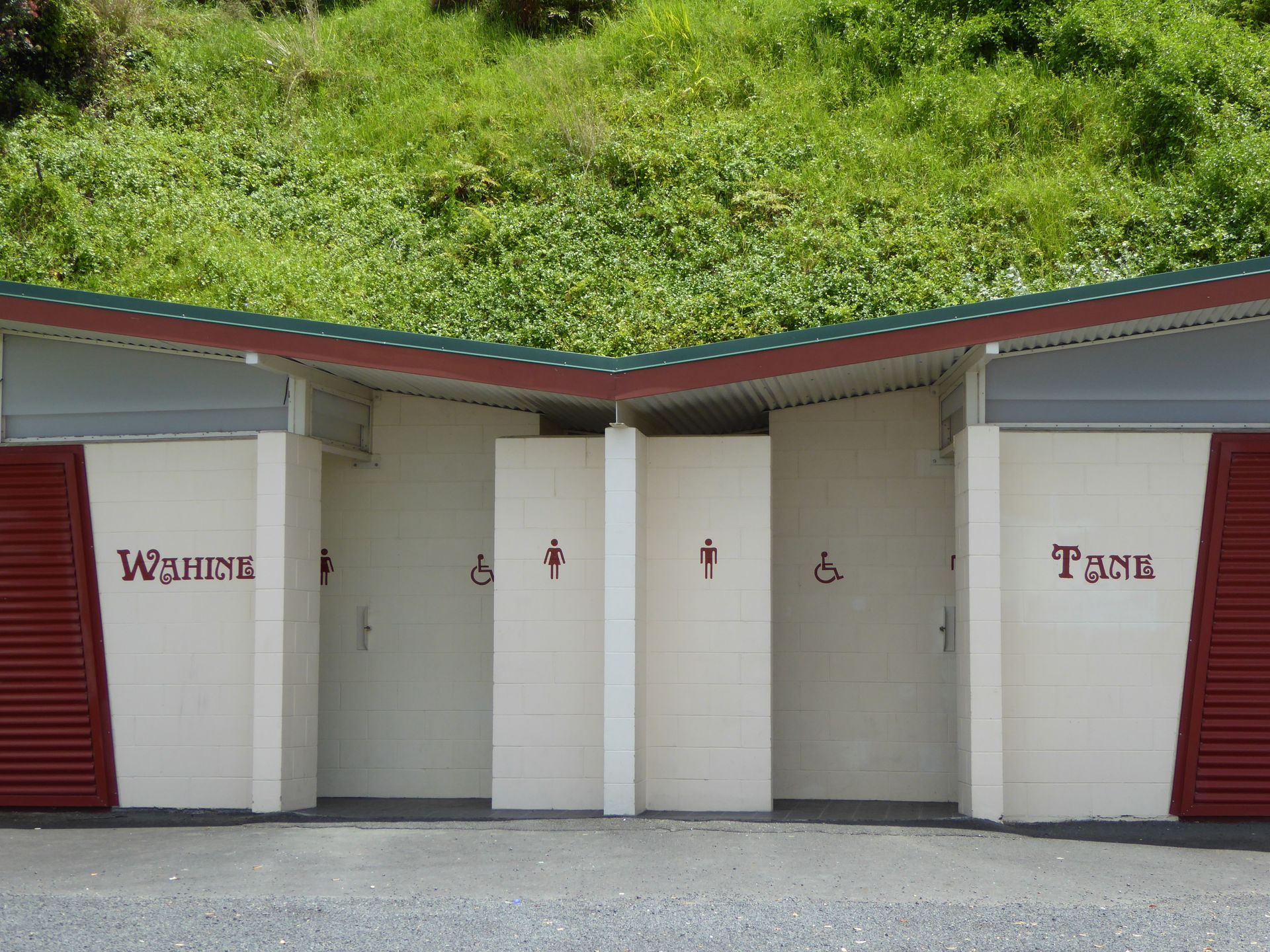
I walk a few meters, delighted to find photo motives like toilets labeled in Maori and many carvings on the benches around the lawn next to the small museum.
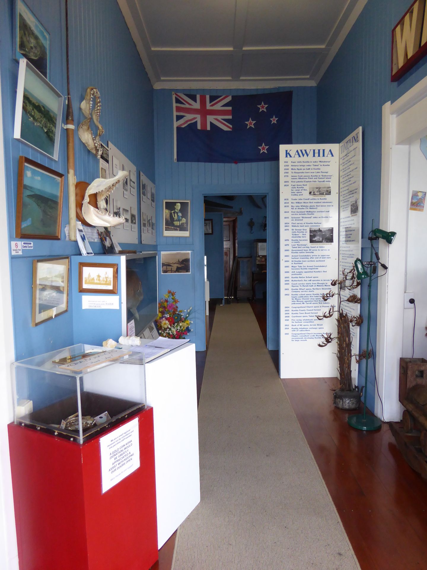
It houses a wild mix of exhibits. Children's toys, office books, clothing, furniture, a telephone switching system from the beginning of the 20th century, and photos of Kawhia from all decades of the last century. A whaling canoe is also on display. These almost 12-meter-long canoes were actually used by the Maori for whaling. With a crew of 5, one of whom was the helmsman and one who set the rhythm. So ultimately, only 3 people worked and the boat is quite long.
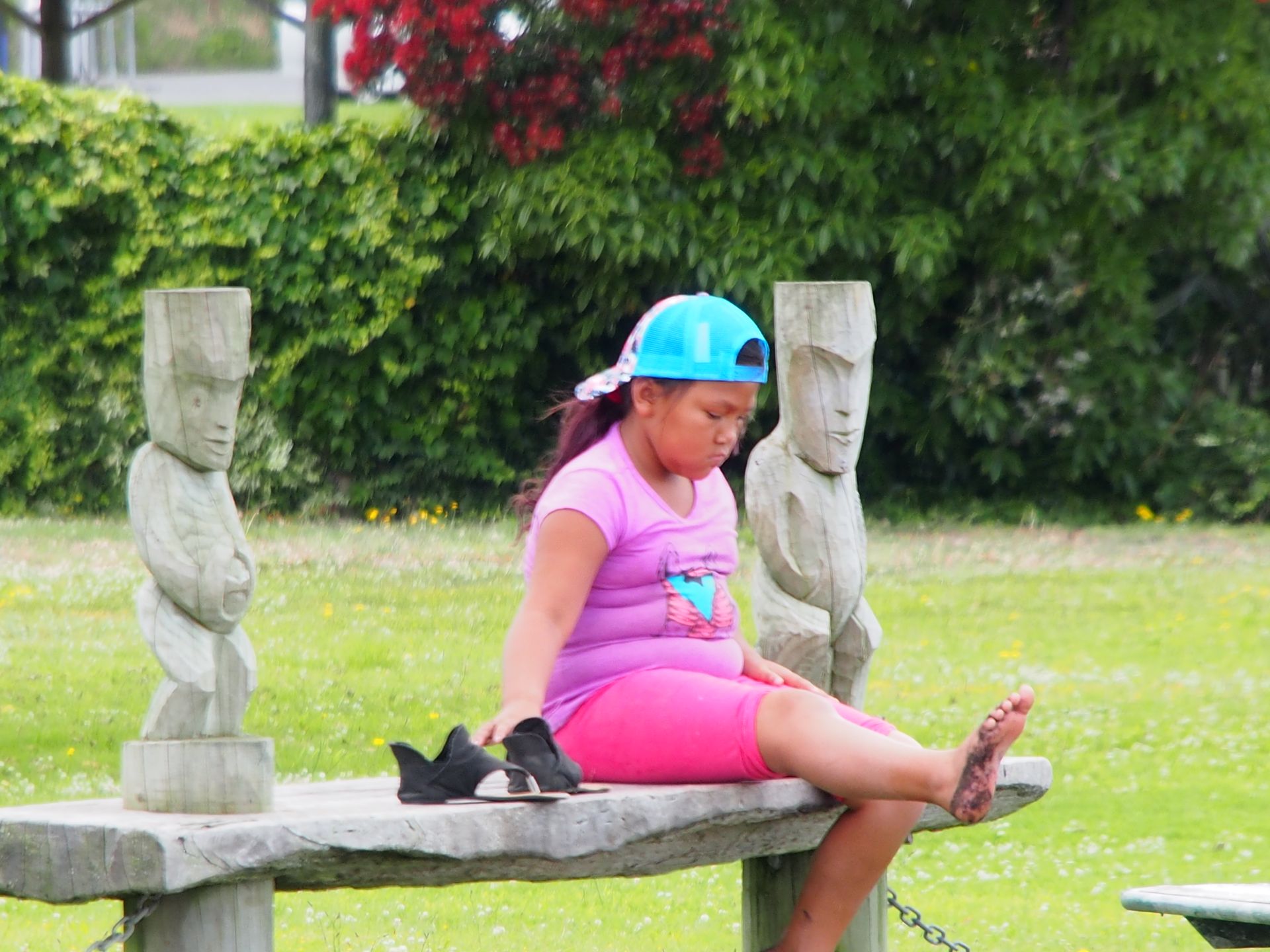
Outside, the sun is shining and a few children are playing on the small black beach.
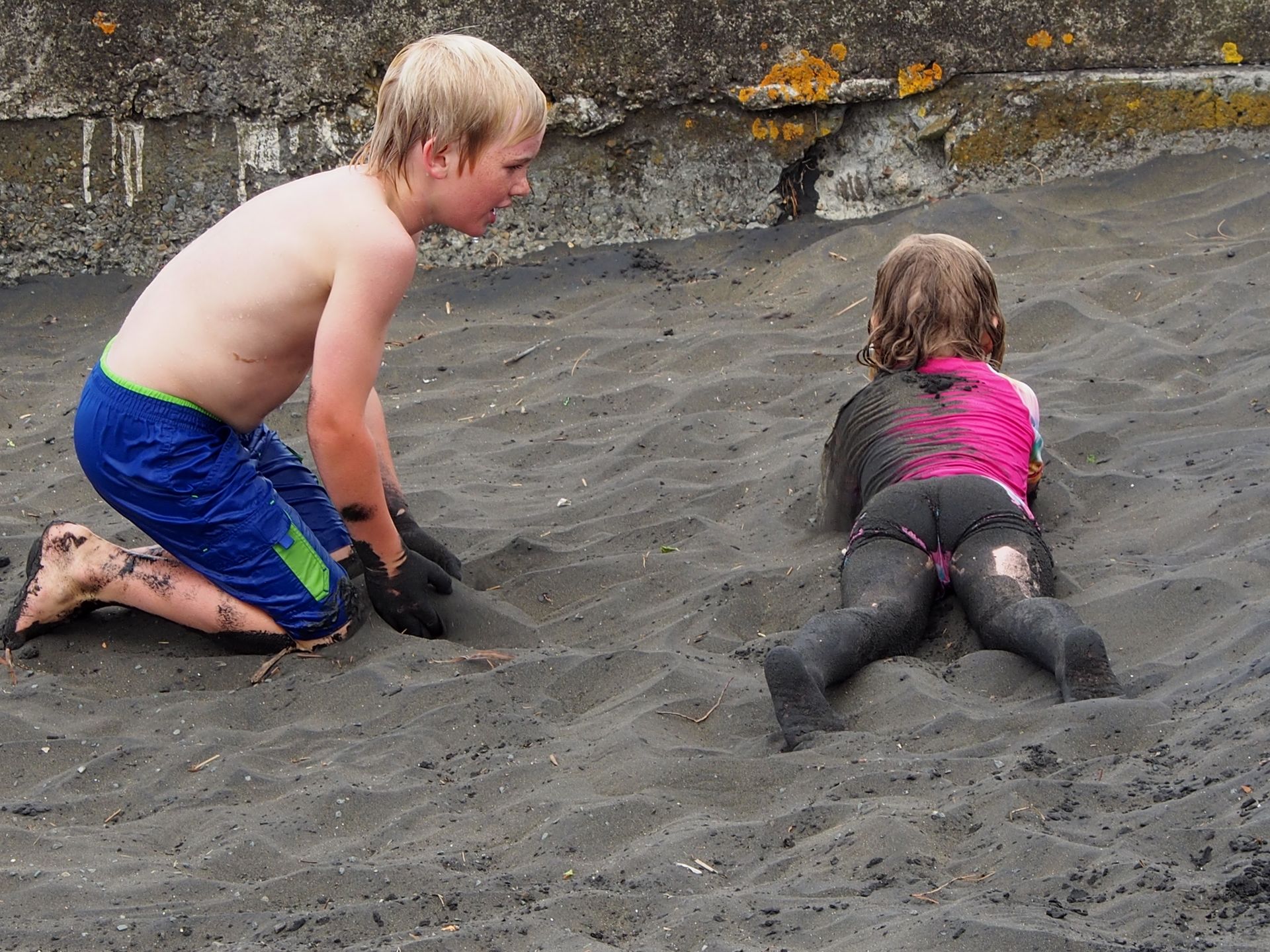
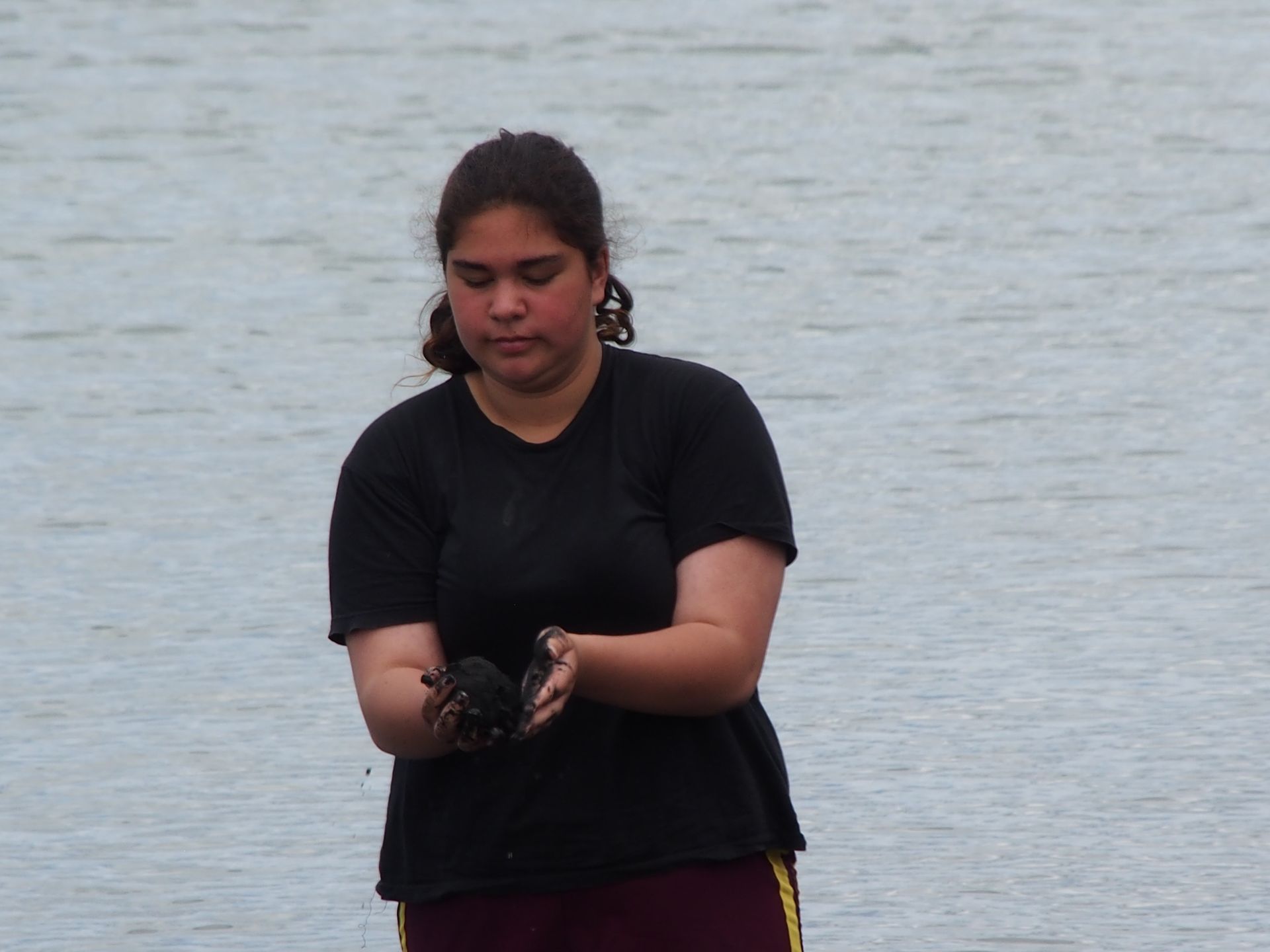
By the way, the sand here is so rich in iron that one can't help but consider processing it, which has recently prompted some environmentalists to take action. No wonder. Mining this beach would be unbelievable. I go to Ocean Beach, which is dark but not as black, where one can dig pools in the sand during low tide and pamper themselves with warm water from the underground springs. It would surely be good for my back. But the tide is already rising. When I climb the high dune, I see people coming back on the wide beach below. So, I continue driving because I want to take a somewhat remote route.
First, I follow Highway 31 again for about 14km and then turn right onto the so-called Harbour Road, which runs through hills and beneath very rugged cliffs until it leads to the water after a few kilometers. Now it's clear to me that I'm still driving along Kawhia Harbour, this huge bay, of which a small part was visible in Kawhia. Forested islands lie in front of me now, and some Maori are fishing from a small bridge. I continue through this curvy idyll. Now the name Harbour Road also makes sense because I'm following the water for kilometers, which is not a lake but rather a kind of huge lagoon.
By the time I reach Te Anga, over an hour has passed and I feel like I've only gotten 40km. I turn onto Highway 37, which leads east again because I've now decided that I still want to drive on Highway 3 to Taumarunui. I'll have to decide tomorrow whether to head towards Tongariro National Park or west to Mount Taranaki.
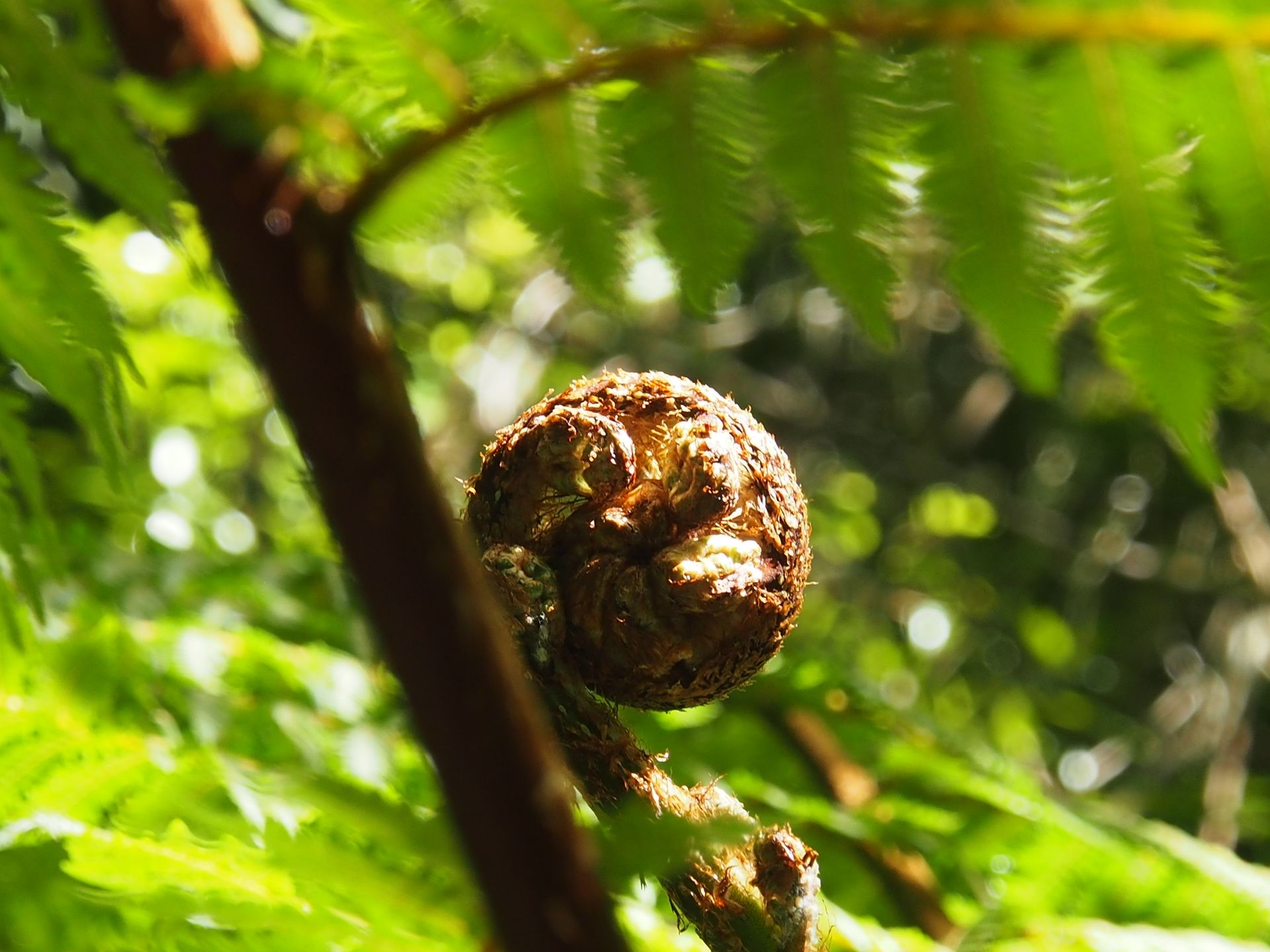
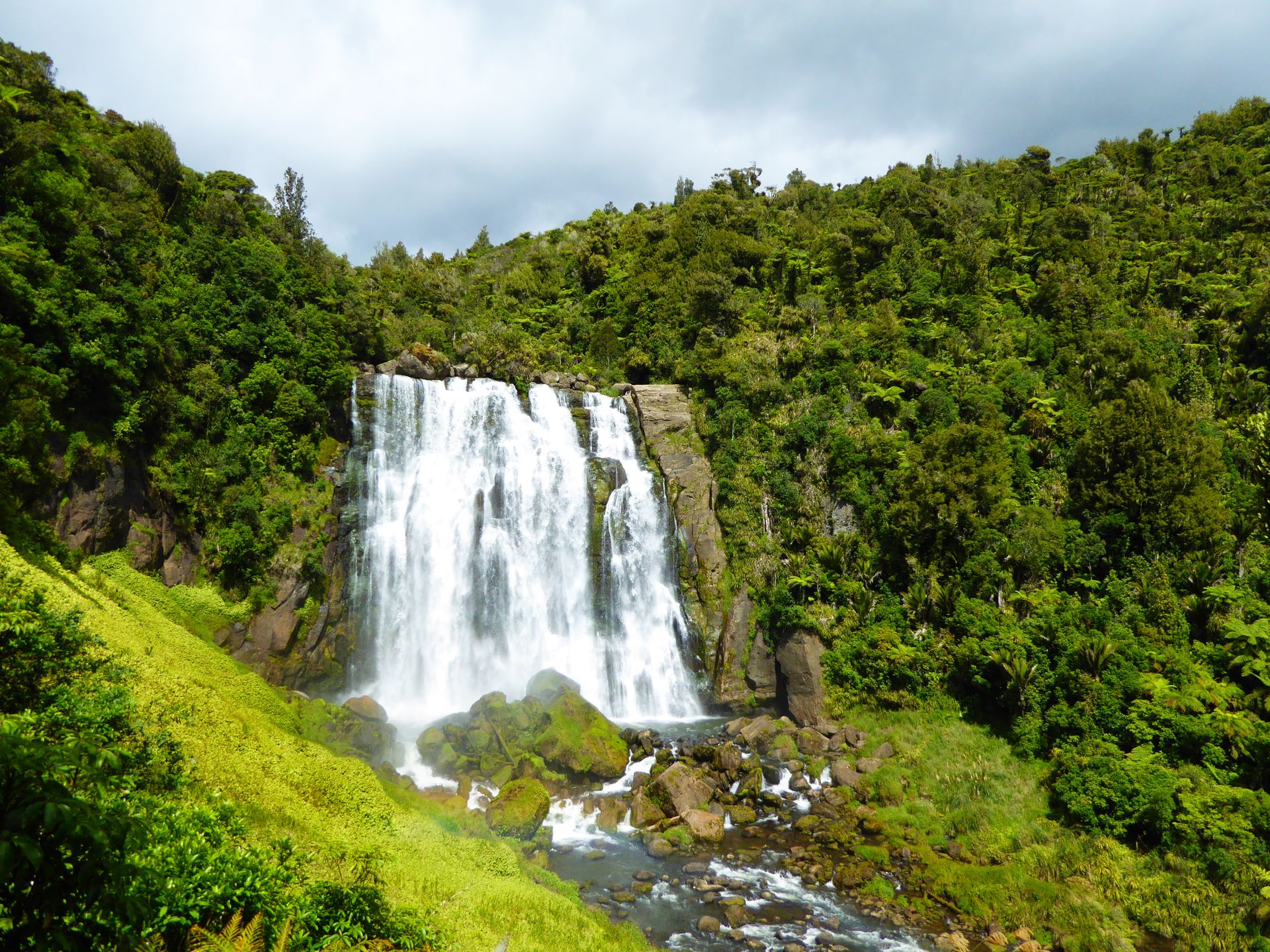
After a few kilometers on Highway 37, Marokopa Falls are signposted and I follow the jungle path on foot for half a kilometer downhill. The waterfalls are beautiful, bathed in sunlight, and the rocks below them are bright green with moss. A nice color contrast.
I hike the 500 meters back up and continue driving. I skip a trip to a natural bridge shortly after because it's already 4:30 pm and I'm not exactly sure how far my destination is. I pass the Waitomo Caves, the famous glowworm/stalactite caves, the parking lot is packed, and it's like Disneyland.
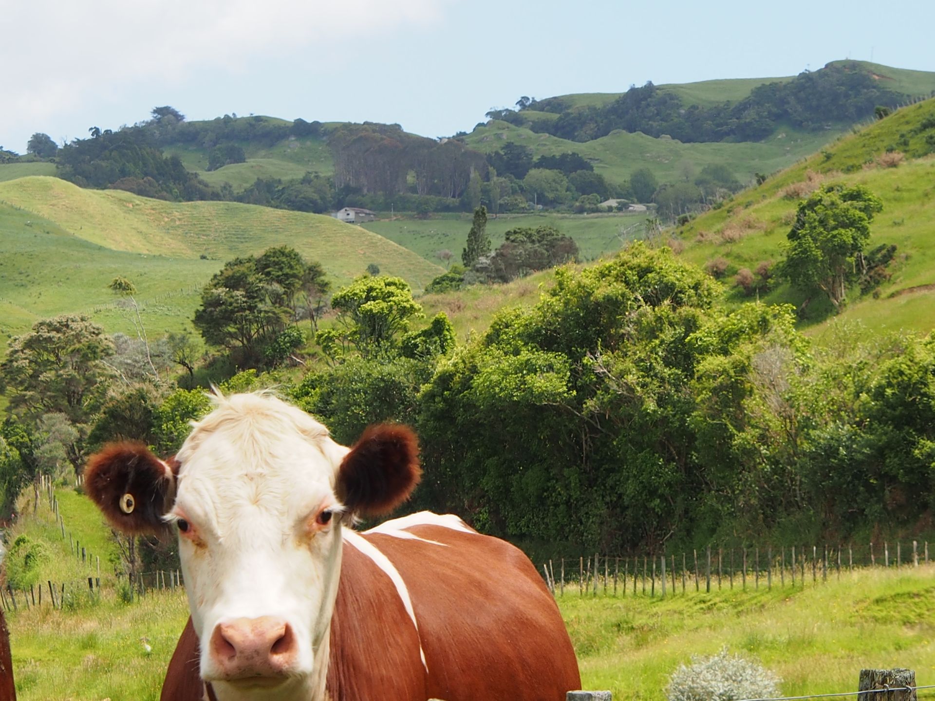
When I reach Highway 3, I see that I still have almost 80 km to go, and the winding road doesn't seem to end. But the landscape constantly compensates for it because it's still beautiful. A herd of cattle beside the road curiously eyes me as I take a photo and when I approach them, the bulls panic and run away!
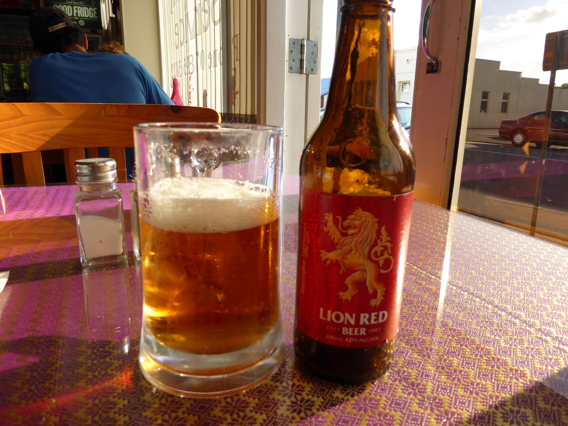
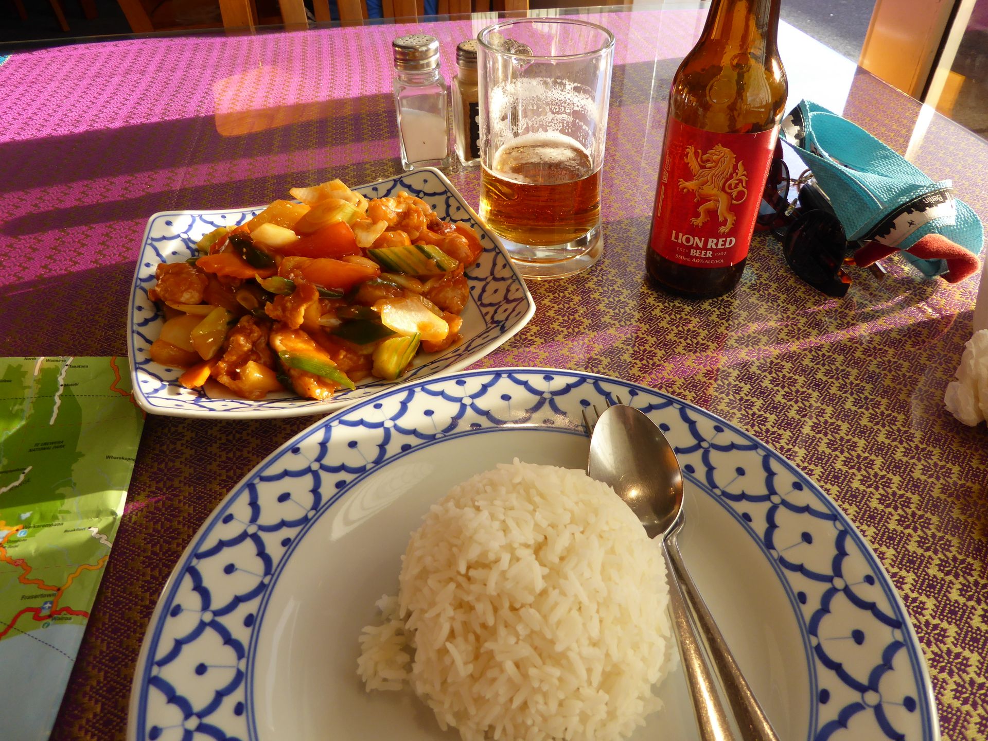
I arrive in Taumarunui at 6:30 pm, a name that I will never remember. At the Forgotten World Motel at the entrance of the town, I get the last room for $90, walk 100m further to the only restaurant in town (except for a McDonald's, which actually surprises me in this village). Today, on my 10th day in New Zealand, I eat in a restaurant at a table with a knife, fork, and dish for the first time. I didn't miss it, but today I needed it.
I take a walk through the town, see the Marae, but of course, it's closed.
In the room, I work on my journal because given today's winding drive, I won't be able to do it tomorrow.
It was a really nice day, with a lot of New Zealand feeling and temperatures up to 26 degrees. However, I didn't realize that the route would take so long, I didn't intend to spend almost the whole day in the car. But here, you definitely need an hour or more to cover 50km.
Distance traveled today: 301km
Iscriviti alla Newsletter
Risposta

Rapporti di viaggio Nuova Zelanda