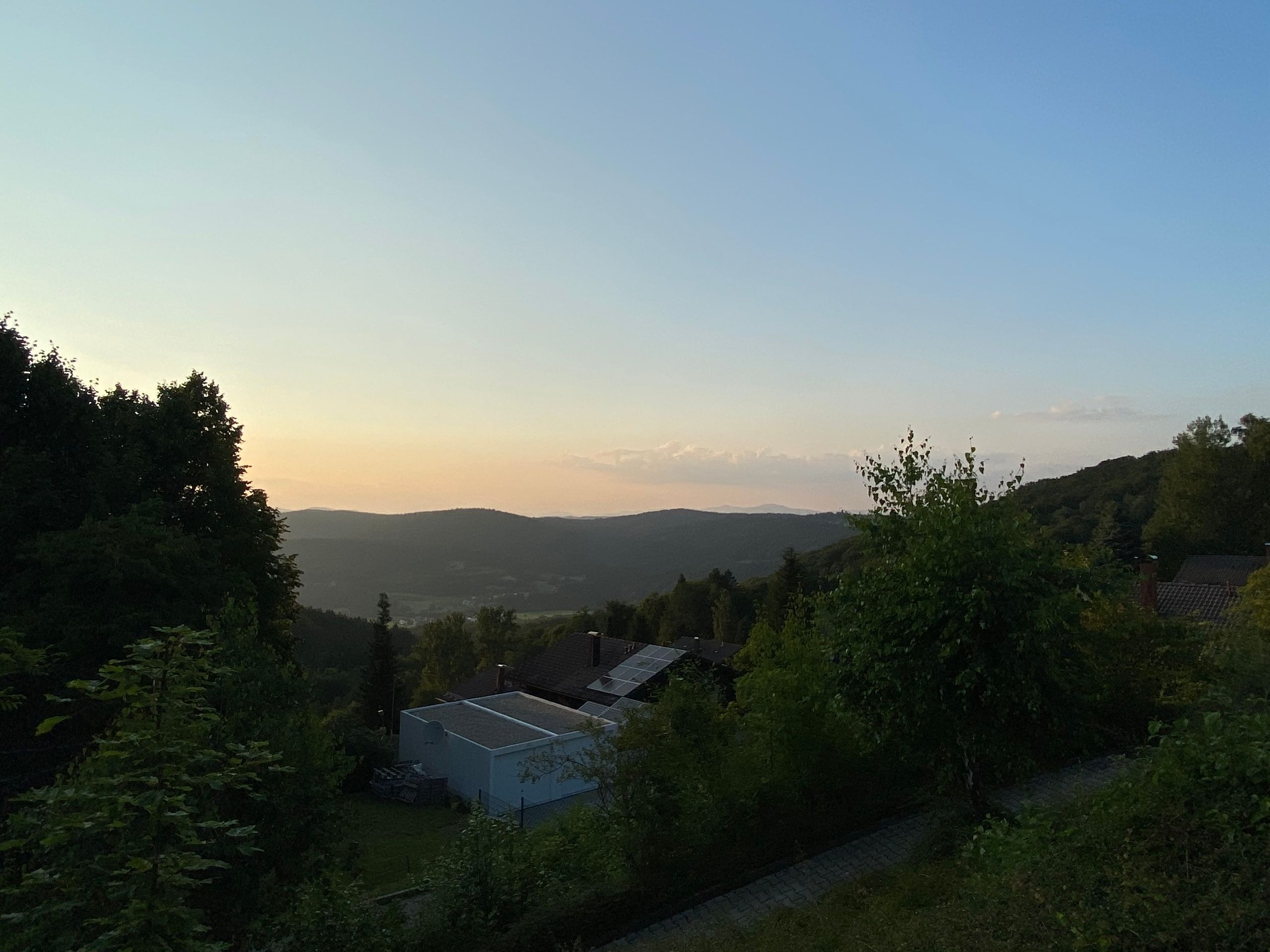
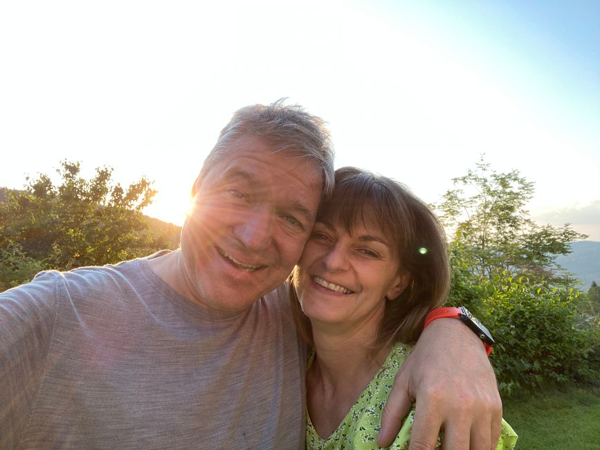
8-thousanders, sneakers and summit schnapps
Buga: 03.08.2021

Biyan kuɗi zuwa Newsletter
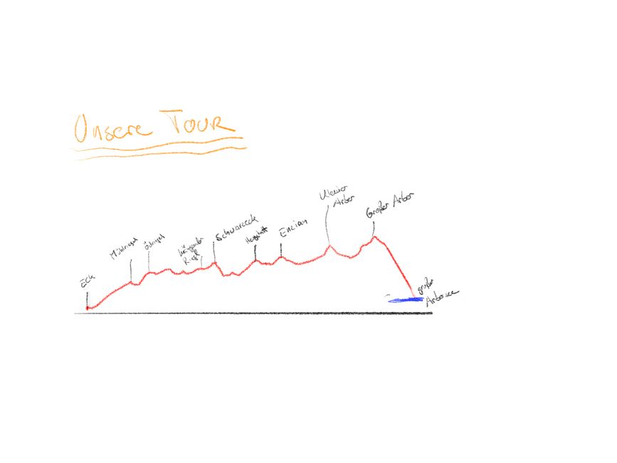
Eight-thousanders in a day. Mario discovered this tour at the beginning of our vacation when he was researching what we wanted to do. Approximately 16 kilometers and over 1000 meters of elevation gain, difficulty level: difficult.
I (Petra) couldn't judge it and hoped the whole time that Mario would change his mind. But that's just how he is, always looking for challenges and not easily swayed from his goal. So I agreed. Mario encouraged me and said it wouldn't be a problem if we took longer than the estimated 7 hours.
He has no idea, I thought to myself. Problems upon problems, because I didn't want to pack more than 1.5 liters of water in my backpack, since my back was hurting during our last big hike. But now my question was, what does it mean to have enough water with you? On a normal day, I already drink 3 liters. And hunger! When I'm hungry, the fun stops. So how much food do I need to pack? It shouldn't be heavy, but it should be a lot, who knows how long the hike will take?
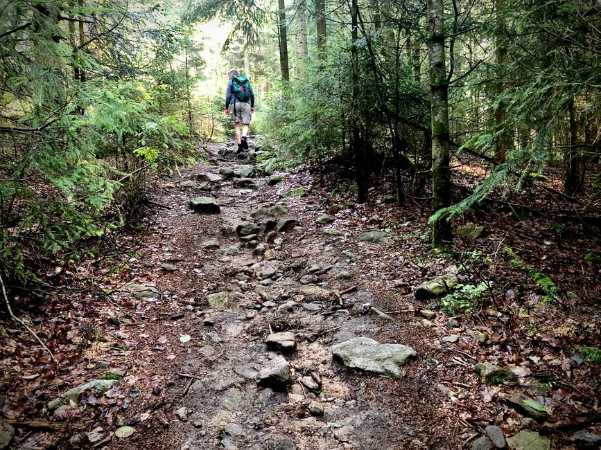
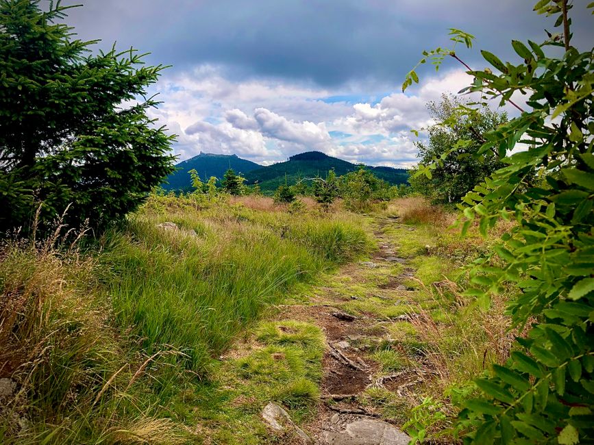
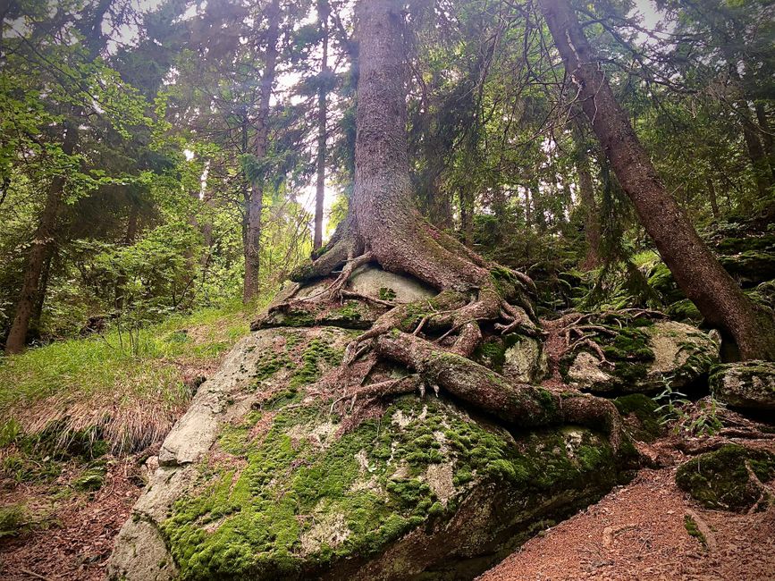
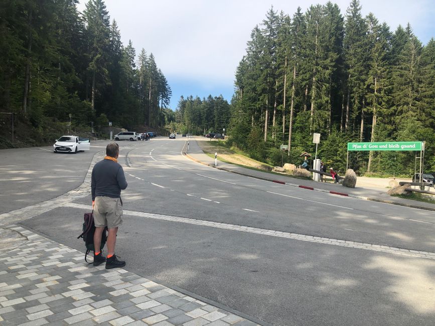
So we start early in the morning, because even the drive to the starting point takes almost an hour. A little drama in the parking lot: you need a parking ticket and we don't have any change, the machine doesn't accept bills, and there is no one in sight. So we park illegally, because we can't change it, and finally start hiking. It's not raining today, but it's cold. The hike is mostly uphill, even with long-sleeved shirts. In the first hour, it's so cold that you can see your breath in the shade of the forest. We quickly find our pace and rhythm, and it's fun, really fun. When we reach the first peak, the Mühlriegel, Petra's concerns are gone. Step by step, we continue along the trail, it's challenging, the path is mostly rocky, muddy, or full of roots, sometimes all at once. Soon we switch to short-sleeved shirts, because the sun is getting warmer and we're working hard. Just a few meters on flat terrain, then it's steep uphill or steep downhill again. We climb up rocks on one side and down on the other side. Sometimes we see other hikers, hardly anyone walks like us without hiking poles, but most are slower than us. After 3 hours, we still have enough water and hardly any hunger, but we take a short break to have a snack.
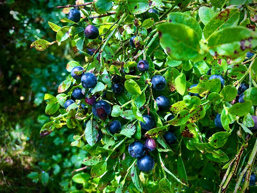
Along the trail, there are endless blueberries. At our 6th summit, the Enzian, many blueberry pickers come up from a side entrance with buckets to pick berries up there. A lady coming towards us talks about paradise-like conditions up there. And indeed, it's full of blueberries, an area as big as - we've been thinking for ages how to describe it - it's impossible! Blueberries as far as the eye can see, every bush is full, even though people are picking berries by the bucketload. We eat while hiking, until our lips turn blue.
Occasionally, the trail goes through an area that is permanently muddy, so a boardwalk has been built for hikers. In general, you're not allowed to leave the hiking trails, as you're in a nature reserve where plants and animals are protected.
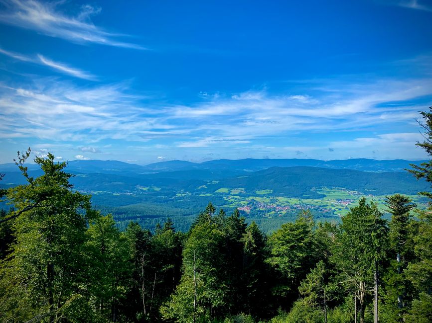
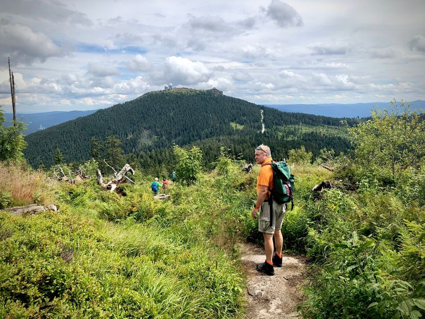
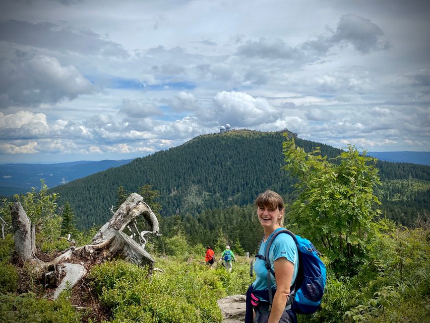
Time flies and we've already reached the foot of the small Arber. Wow, the ascent is tough, some group with children is somewhere ahead and above us, a sign says "steep path to the youth hostel" and indeed, the path is very steep. But somehow, we manage, one foot in front of the other. When we reach the top, the entire cliff is full of teenagers - we think, respect to the leaders of this group, but they have the horde under control.
A quick photo, and we want to continue the final leg to the big Arber. Of course, first we have to descend from the "small" Arber to catch our breath before climbing up to the big Arber again. Steps have been laid in the rocky path, which are so high that it's impossible to walk slowly and evenly. So we walk quickly, unevenly, and just survive. And we succeed, we've reached the goal.
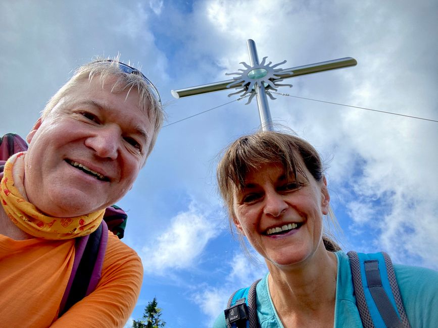
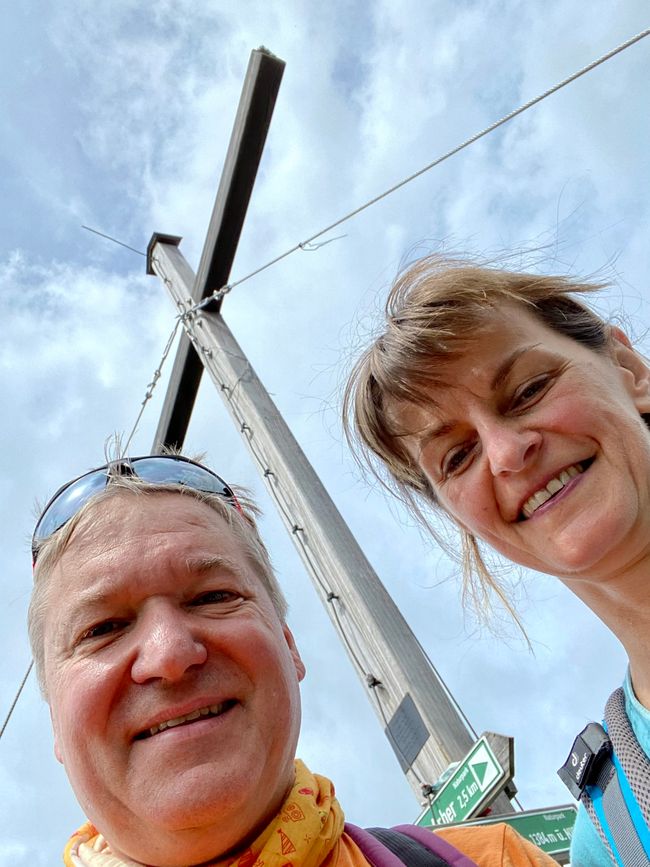
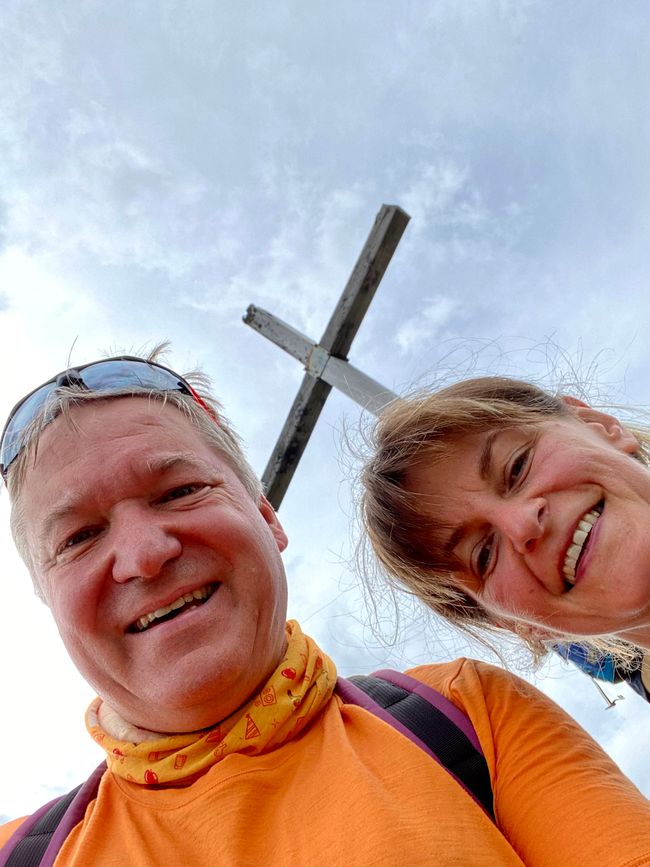
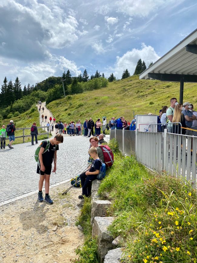
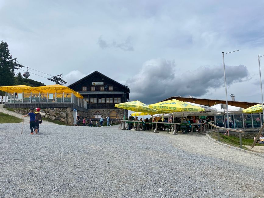
You can also take the cable car up to the big Arber, and all the lowland Tyroleans take advantage of this opportunity. Of course, we want to take a photo at the summit cross, but it's occupied by the cable car users with their designer white sneakers and gold sandals. We are definitely in favor of a law that prohibits taking photos at the summit cross if you arrived by cable car.
Oh yeah, the cable car, our plan was to take the cable car to the valley station and then take the bus back to the car. When we see the line at the cable car, we decide to walk. So far, we only took almost five and a half hours, so we still have plenty of time and energy for the last 4 kilometers to the big Arbersee.
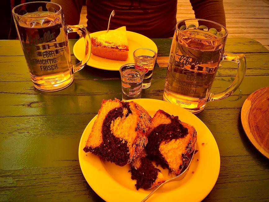
But first, we have a summit schnapps and a piece of cake up here, which we definitely deserve after conquering 8 peaks.
The descent to the lake is more challenging than expected, as it goes downhill for a long distance on extremely large stones. When we finally reach the bottom, we've had enough, because by now it's become 22.5 kilometers with 1044 meters of elevation gain and then almost 500 meters of descent to the lake.
Normally, we would continue by bus from here. Unfortunately, the bus is currently not running due to construction work. It's a frustrating feeling when you depend on means of transportation that are not available. There is hardly any reception for our phones here, but with great effort, we manage to find the number of a taxi. The taxi driver, whom we reach after several attempts, is far away and can only come to pick us up in 2 hours. Fortunately, he tries to organize a colleague for us. After what feels like an eternity (and the song "I'm standing in the cold waiting for a taxi, but it's not coming" comes to mind), the taxi arrives. The taxi driver is really nice, so the ride back to the Knecht inn is quite entertaining. When we arrive there, Mario goes straight to the parking ticket machine and puts in the extra 2 euros he got changed and pays for parking afterwards.
We end the eventful day, in which we are so proud and have collected so many beautiful impressions, with a good meal, a shower, and our daily report.
Biyan kuɗi zuwa Newsletter
Amsa
Rahoton balaguro Jamus
