Week 6 - Diving and First Impressions of the Maori
This week featured an experience that Julian has been looking forward to for several months. We went on a diving trip to the Poor Knights Islands. We had to be at the meeting...

Published: 22.06.2025
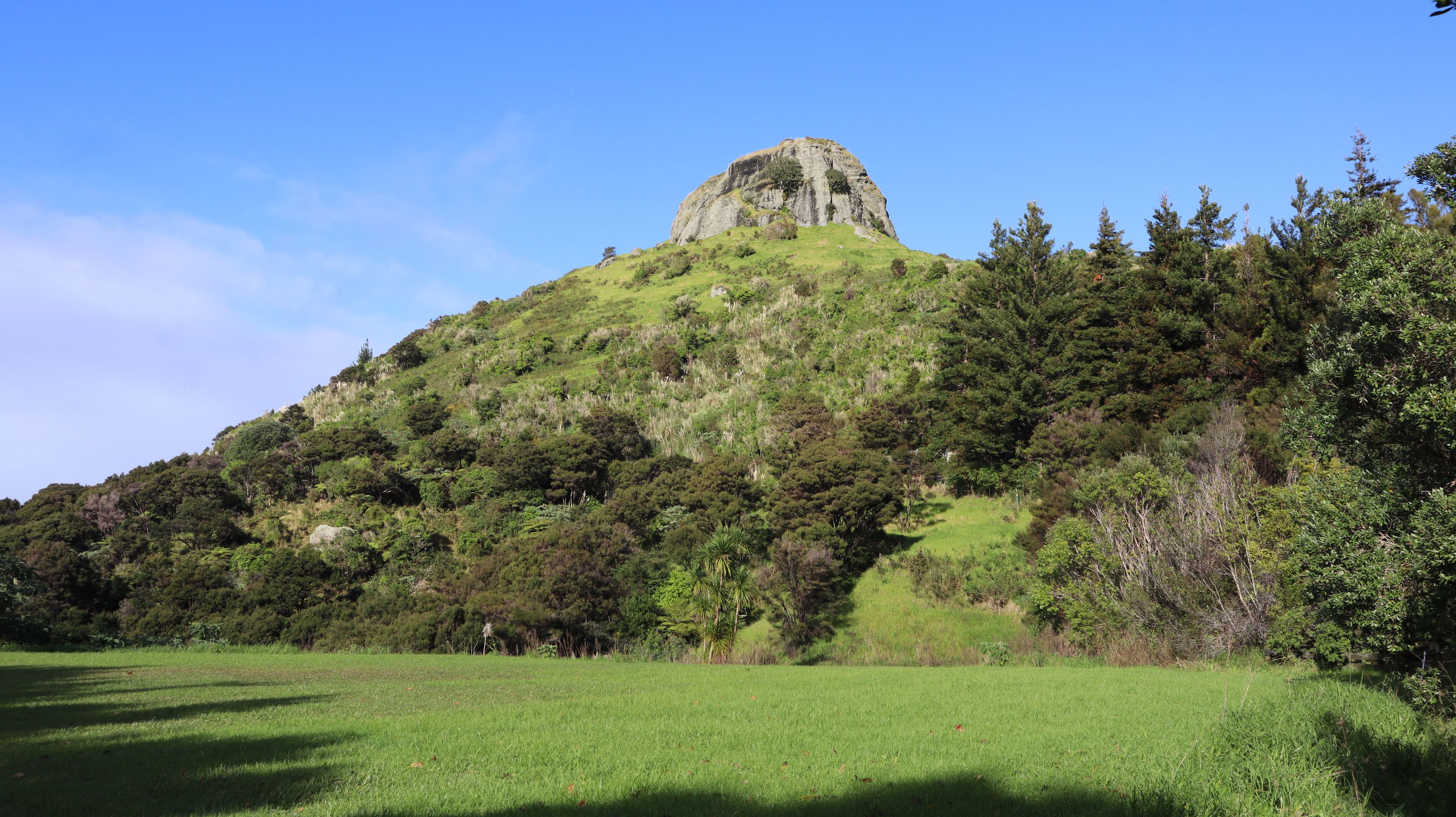
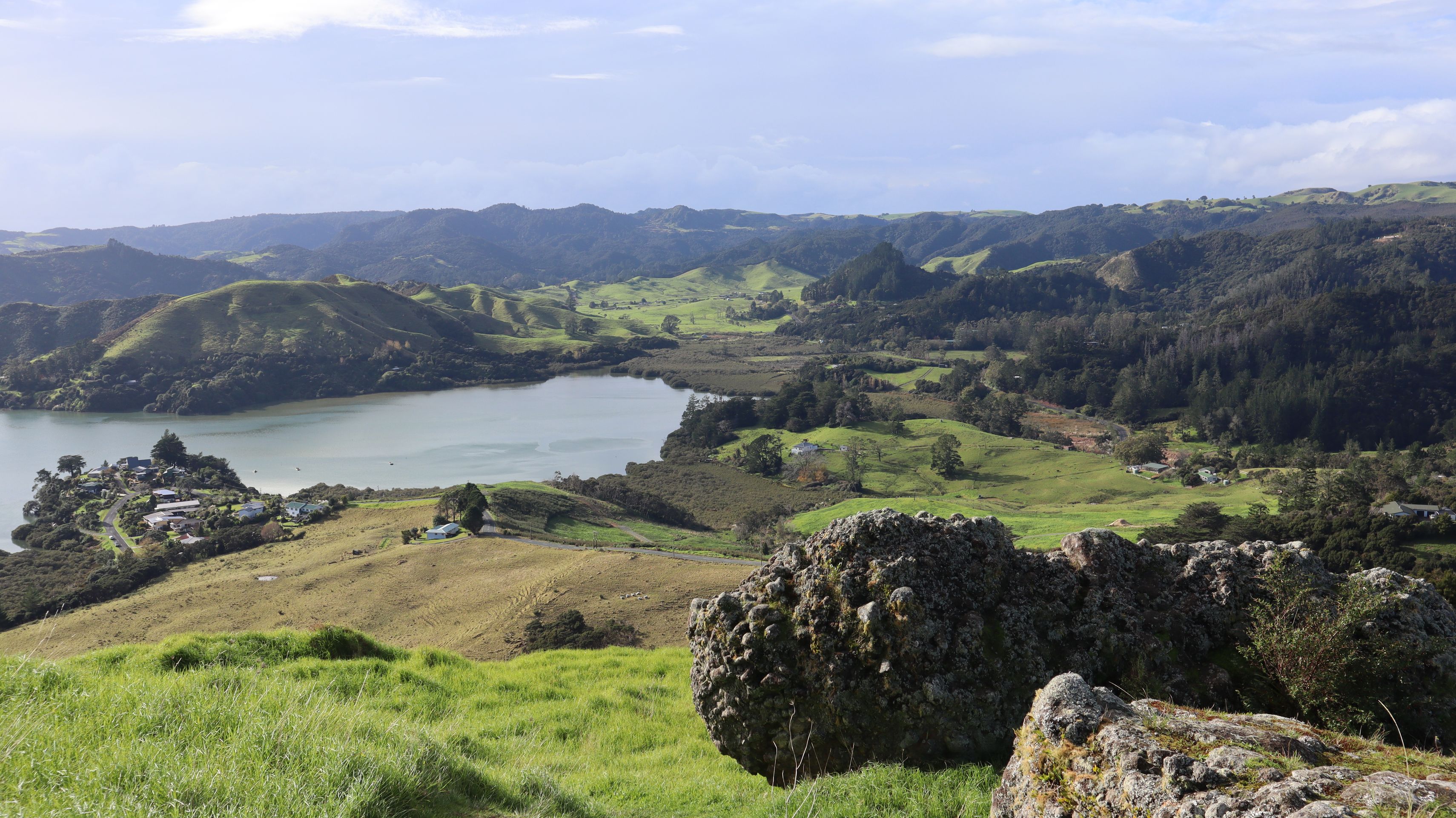

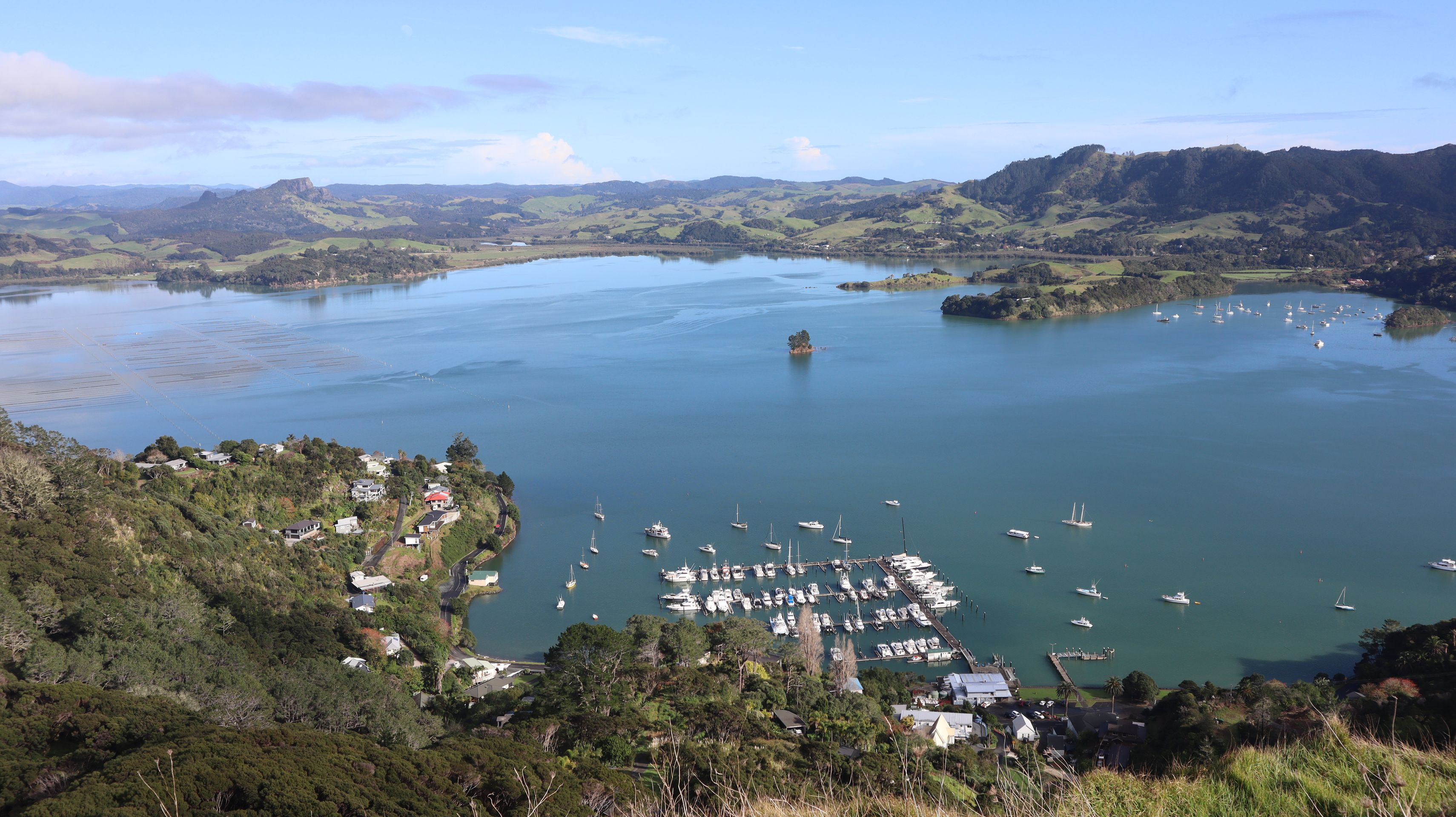






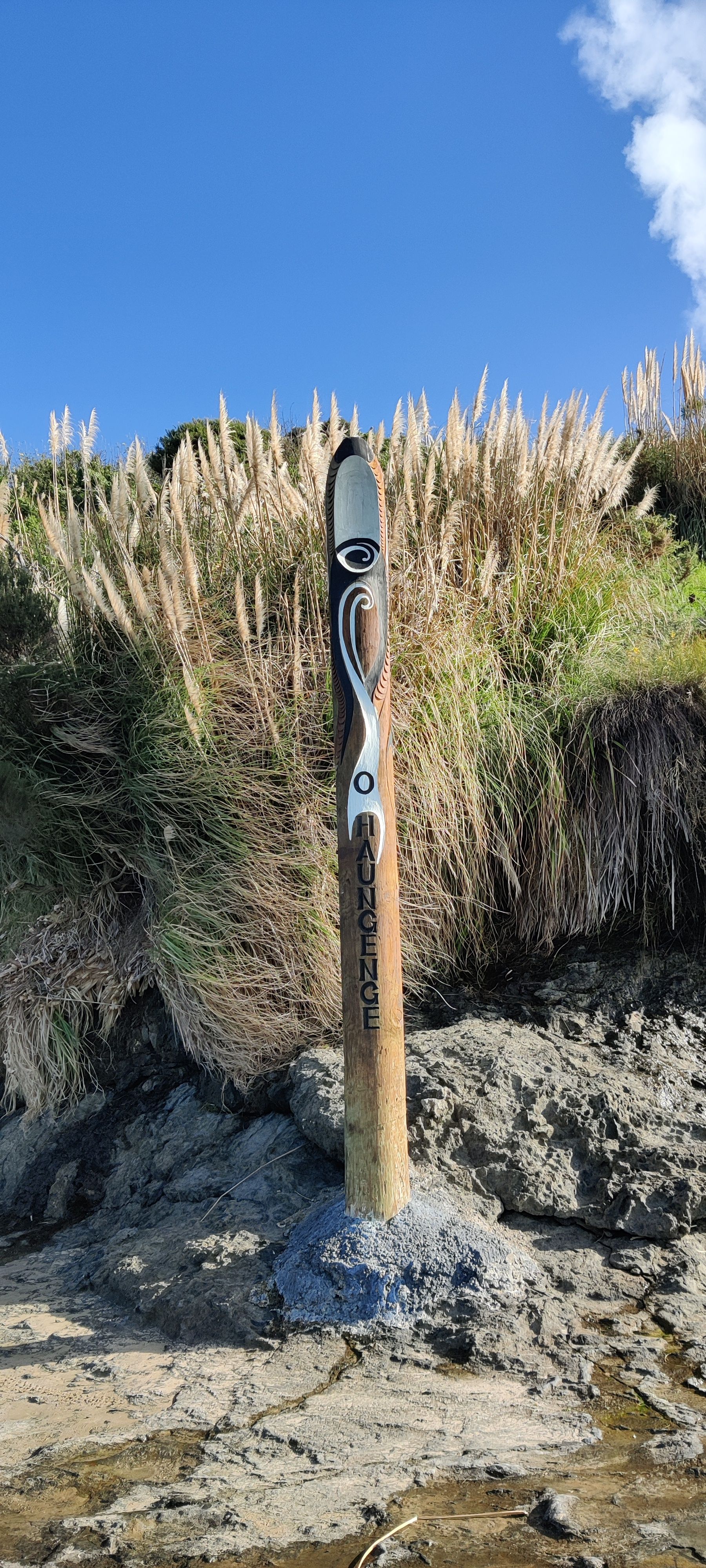

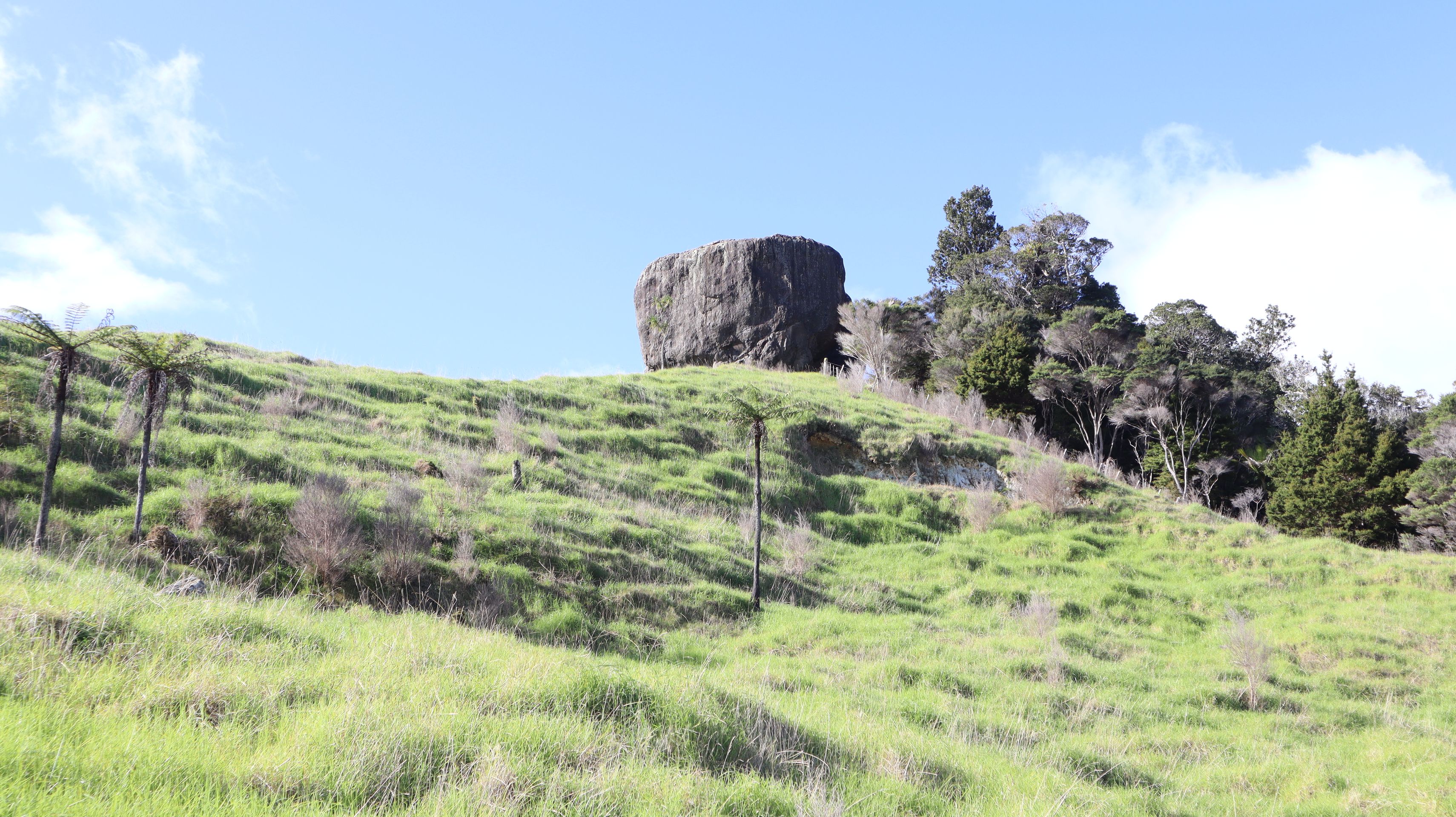

The new week started with a short hike to St. Pauls Rock. The short ascent, which included a small climbing section with a steel cable, was definitely worth the effort. We were rewarded with a beautiful 360° view of the surroundings.
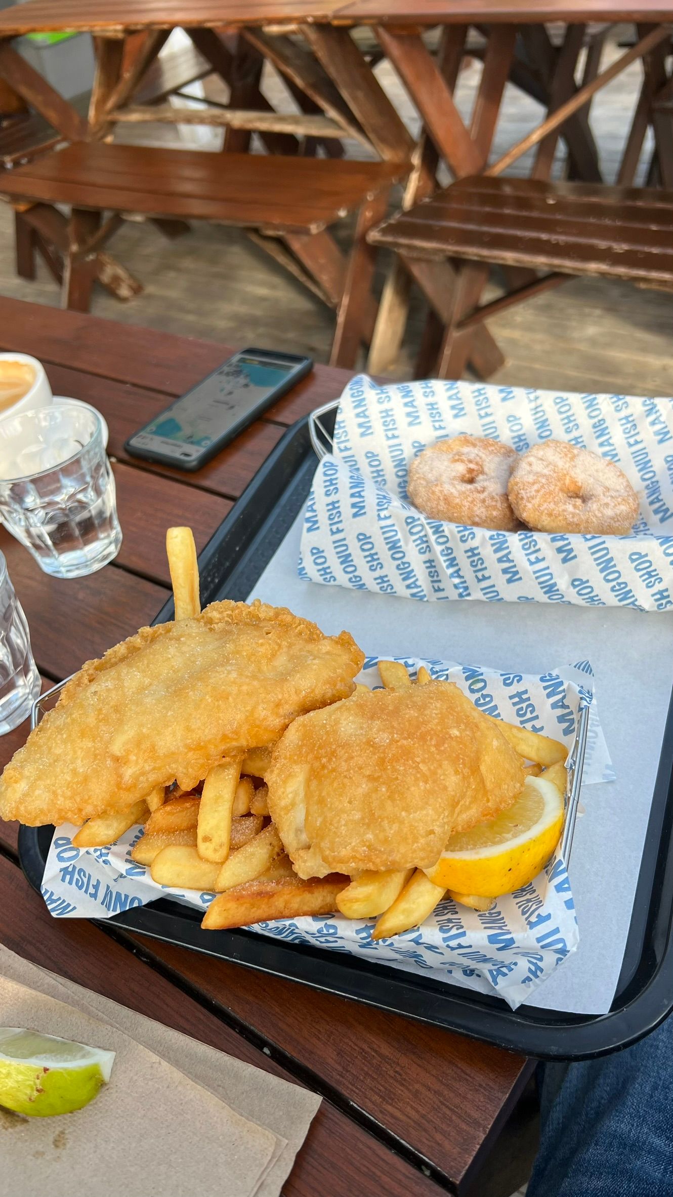
After that, we continued on to Mangonui. We took another short walk through the coastal town, and Julian treated himself to a portion of fish and chips from the local fish shop.
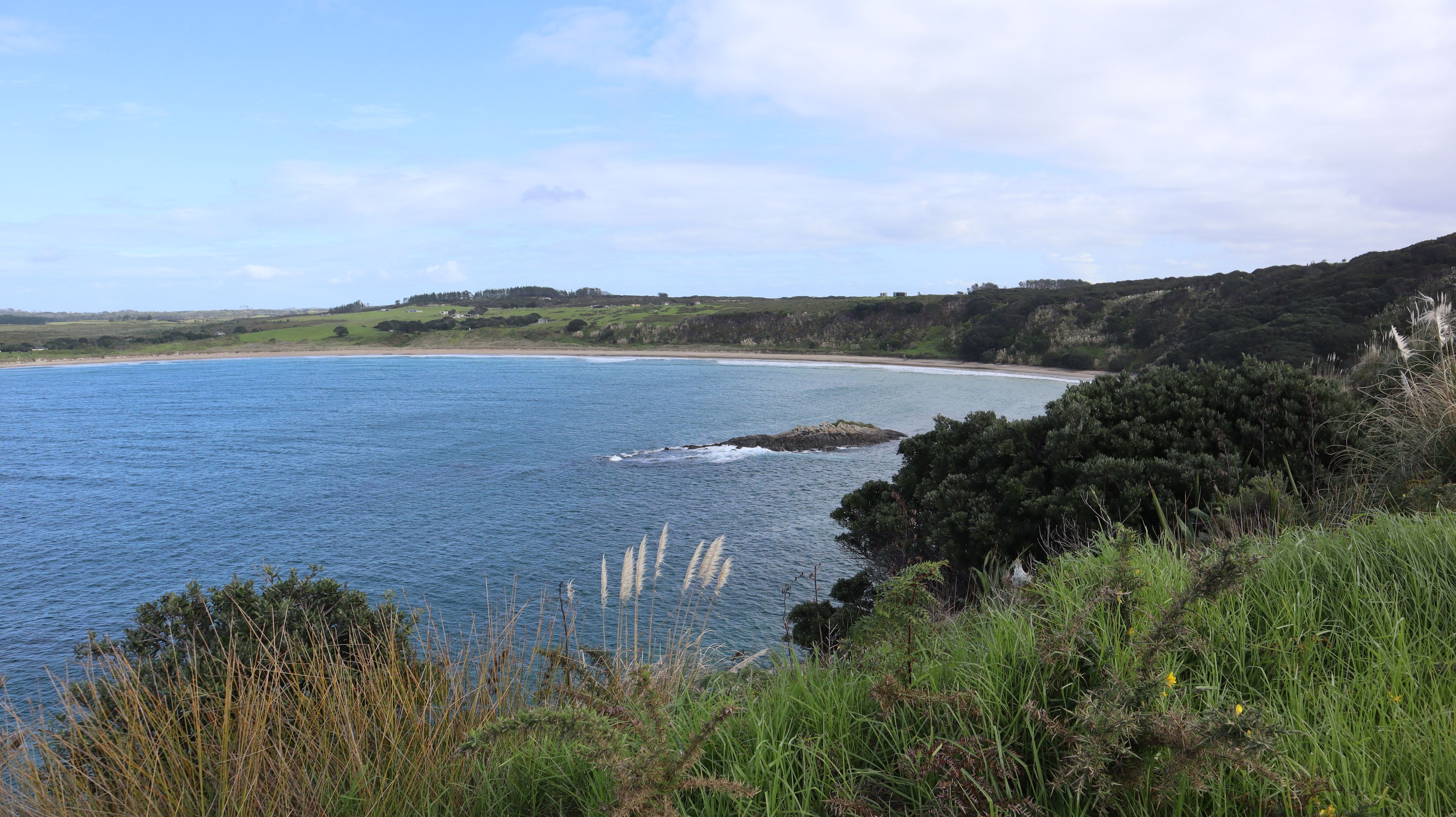
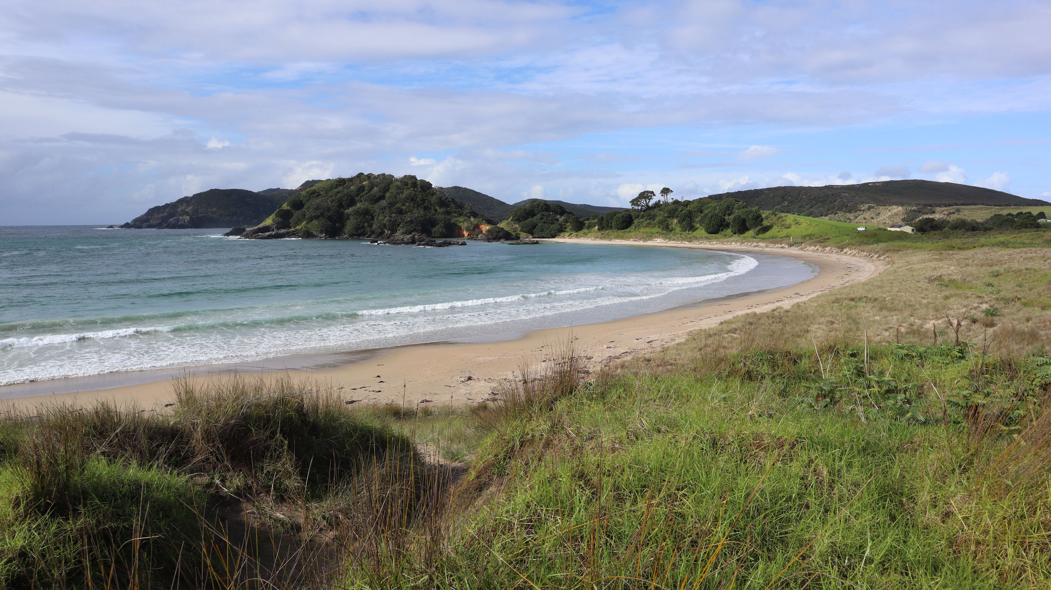
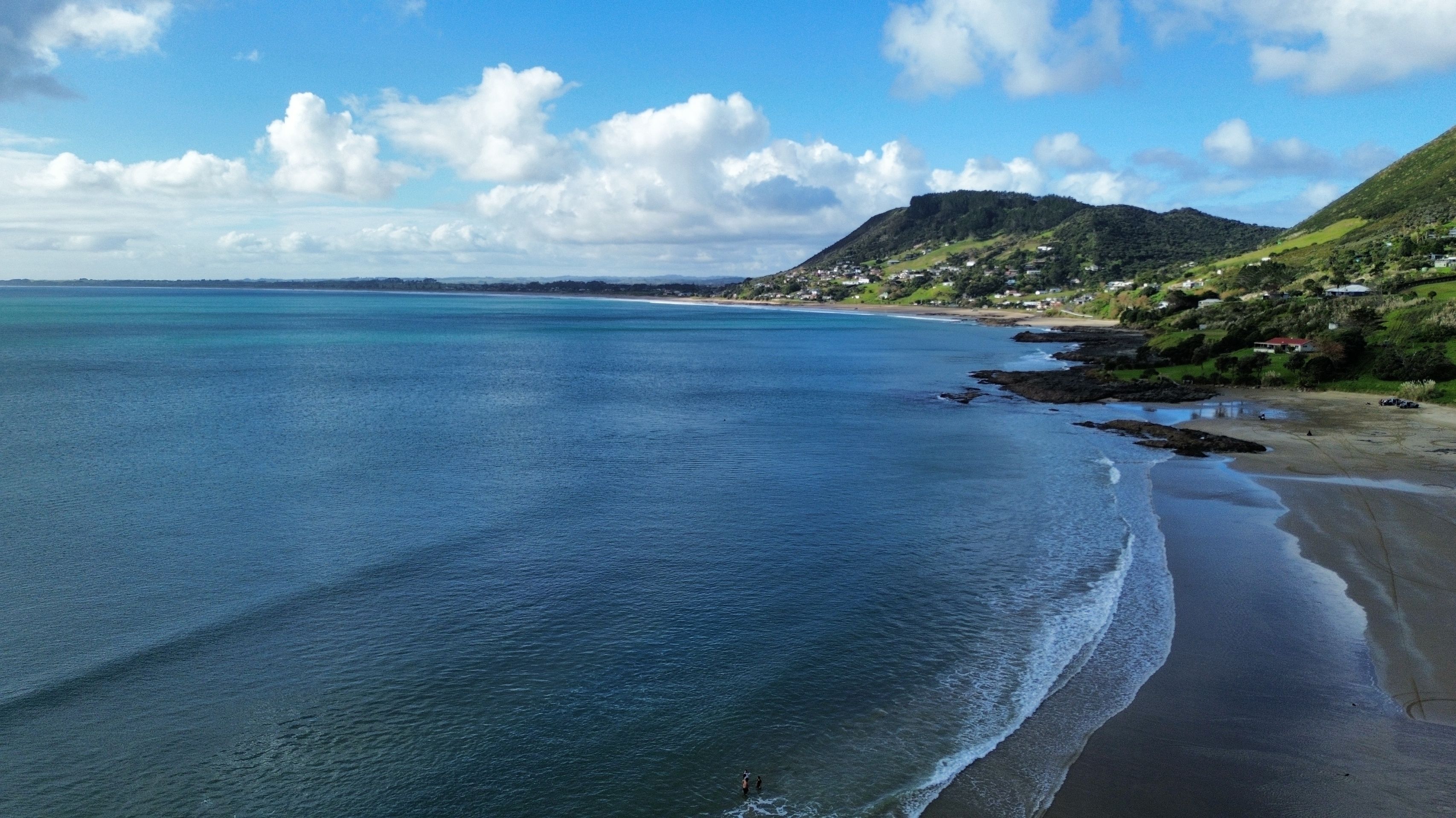
Our next hike took us to Maitai Bay. A beautiful and picturesque bay, just like many we have seen here on the North Island, and yet we still enjoy it every time.
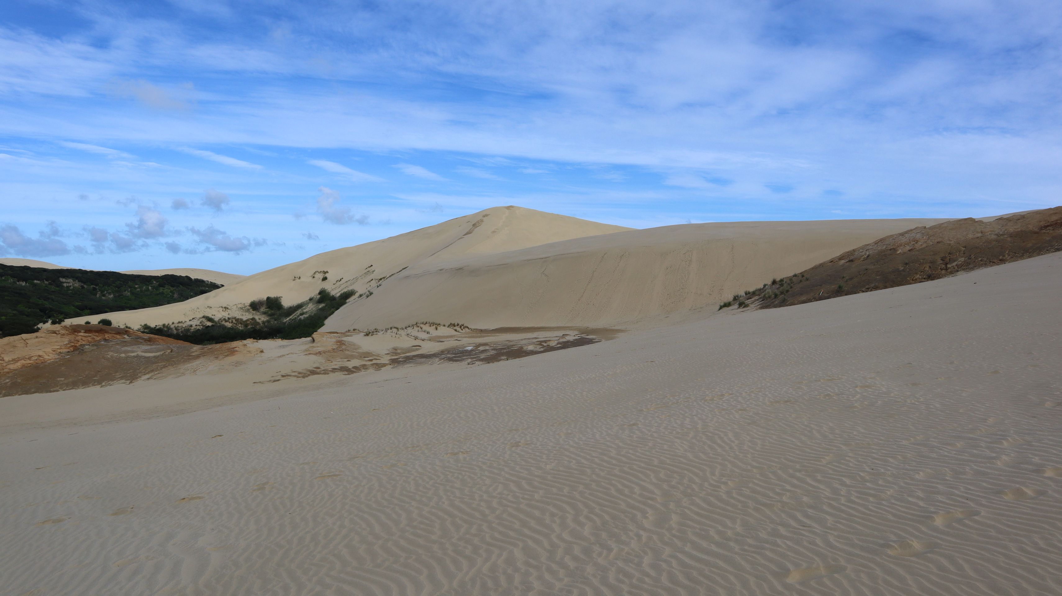
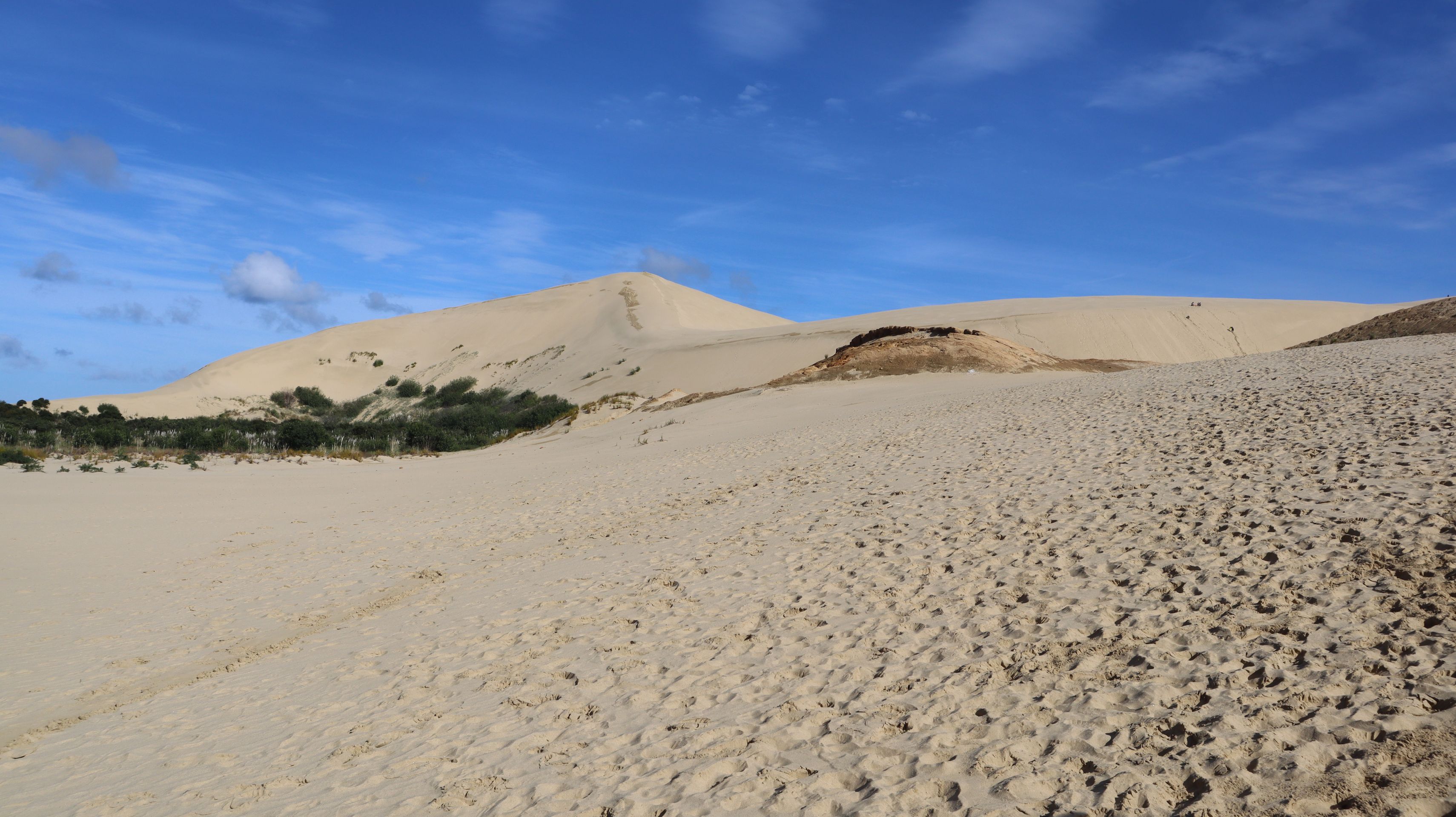
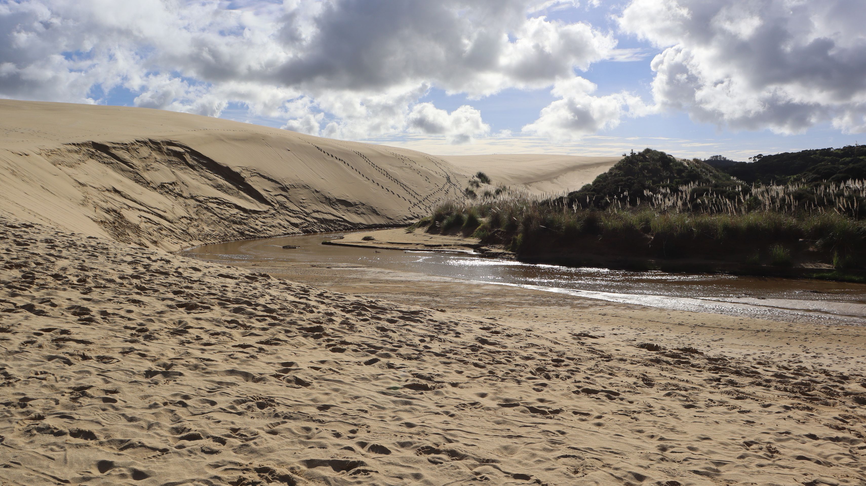
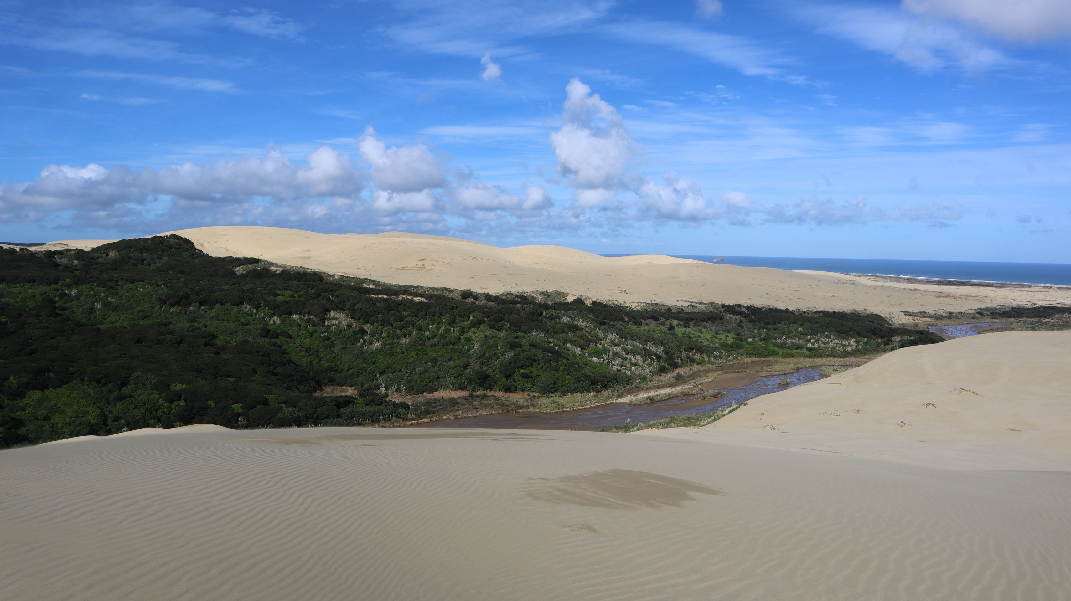
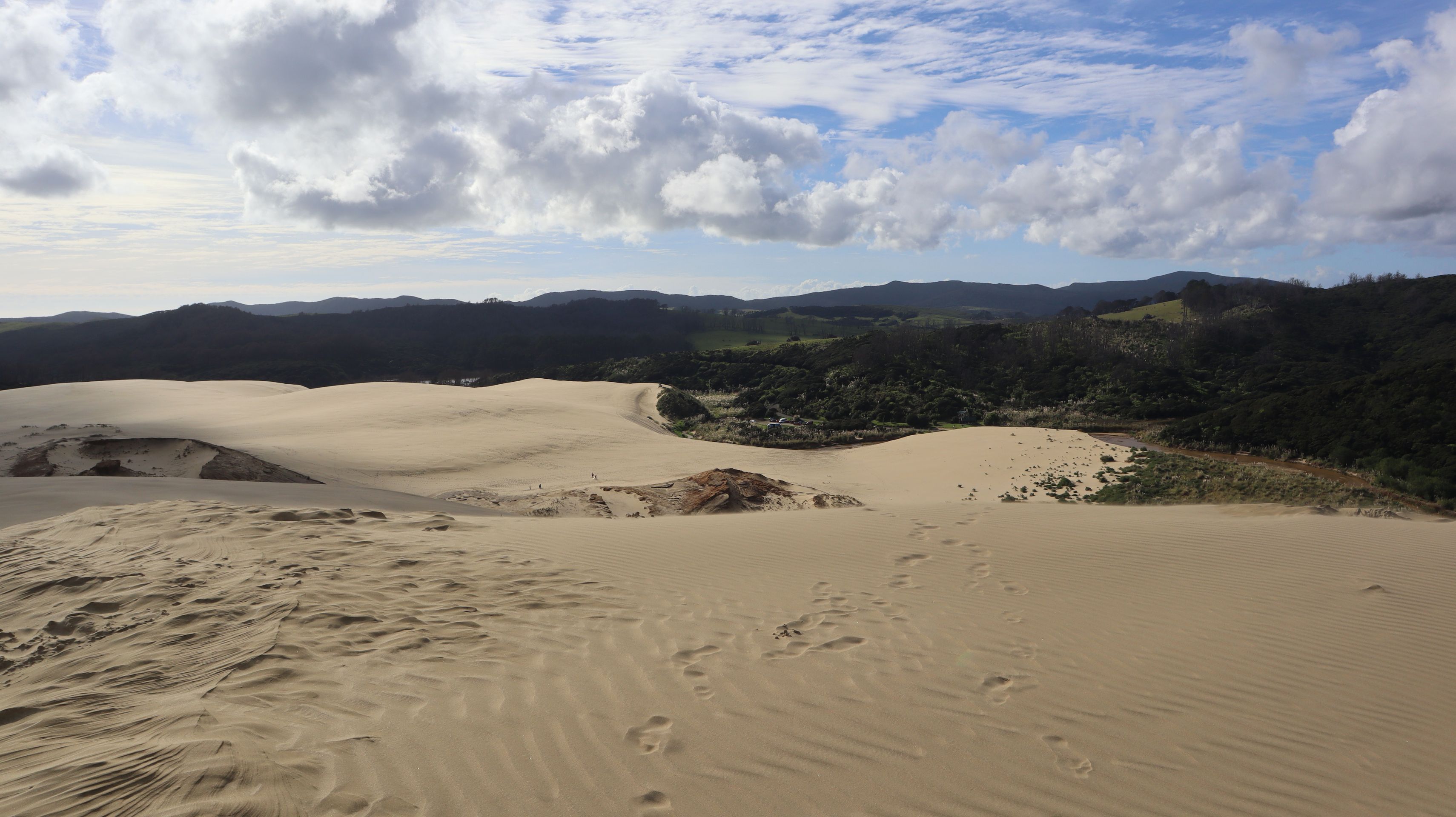
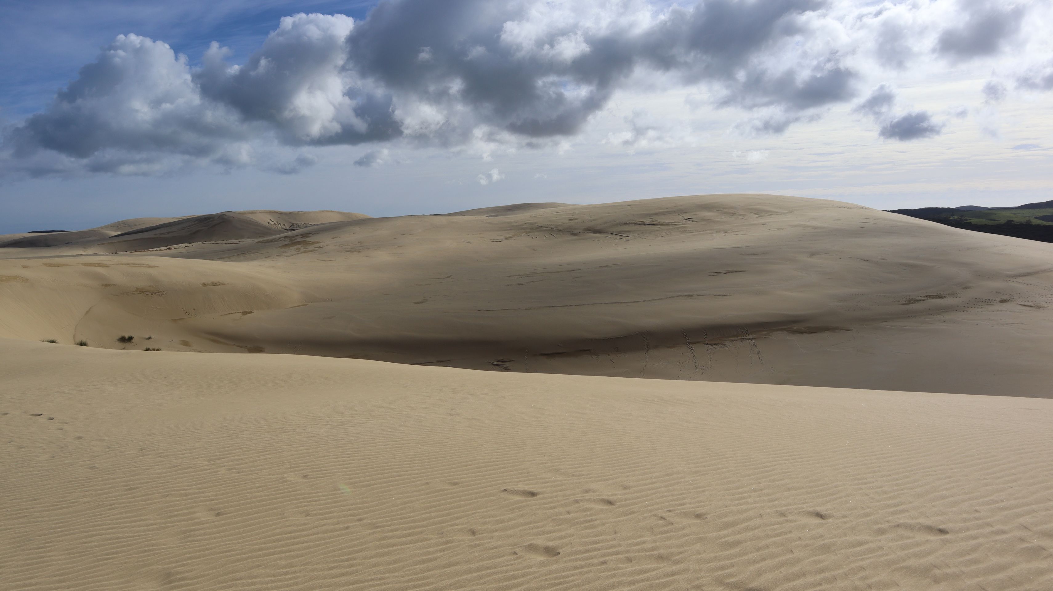
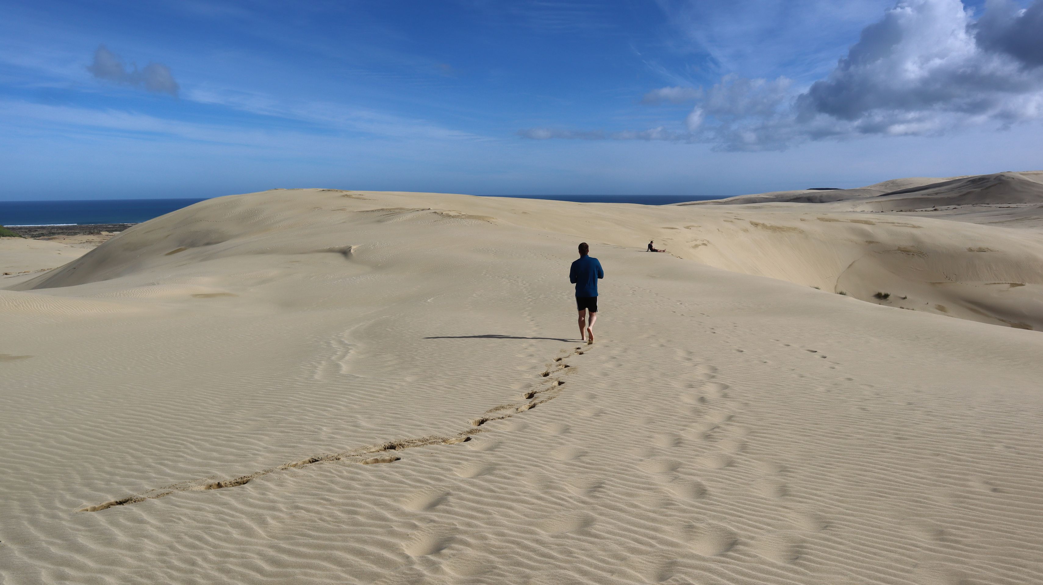
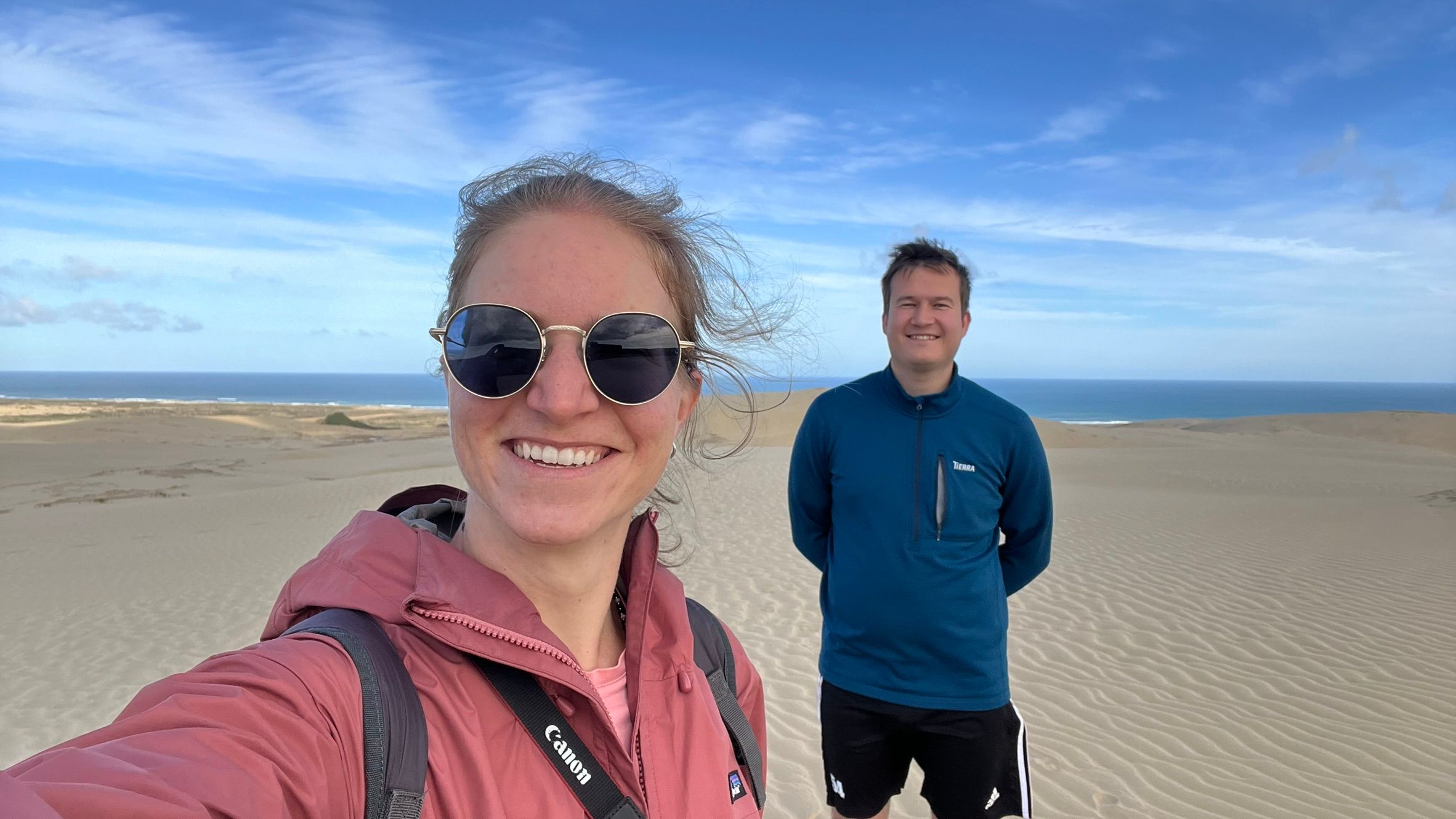
The next day had a full agenda. For one, the driving distance was the longest we had traveled in a day in New Zealand so far. On the other hand, we wanted to take advantage of the last major supermarket for the next few days to stock up on groceries. After taking care of that, we headed almost to the northernmost tip of New Zealand to the Te Paki Giant Sand Dunes. These truly large dunes could be seen from the approach. From the parking lot, we first had to cross a small riverbed before we could start climbing the dunes. After climbing the first very steep sand dune, we finally saw how vast the dune landscape really was. As far as we could see, sand surrounded us. It felt almost like being in a desert landscape. We walked over the dunes, marveling at their size and enjoying the sun. The 90 minutes on the sand dune felt like many hours of hiking in our legs.
We spent the night at the northernmost campsite in New Zealand, the Tapotupotu Campsite. Unfortunately, it was quite cloudy at night, and we couldn't get a good look at the starry sky.
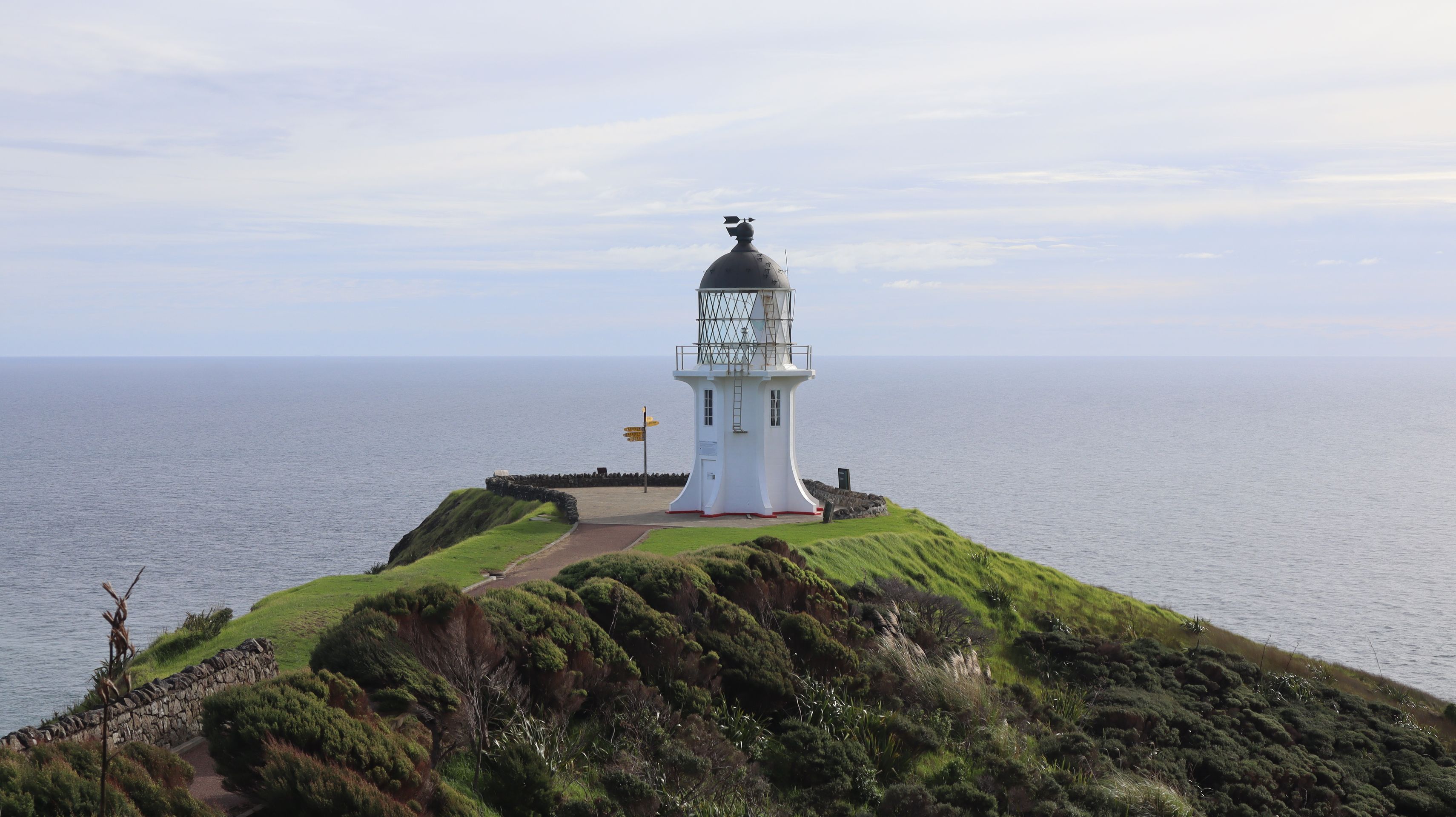
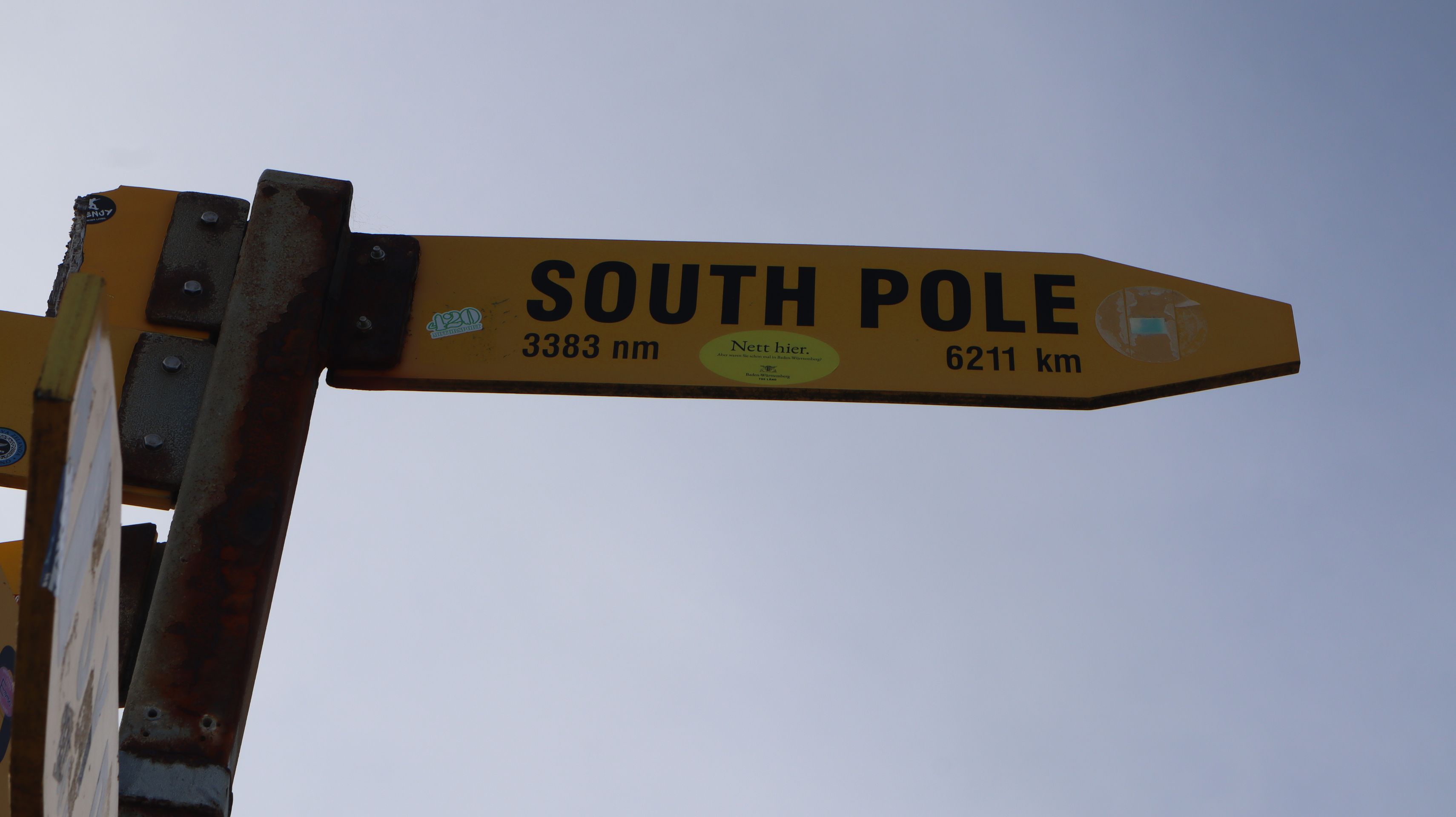
The next day, Cape Reinga, the northernmost point of New Zealand, was our goal. Cape Reinga is a special place for several reasons: At this point in front of New Zealand, the Pacific Ocean and the Tasman Sea meet, which is clearly noticeable when looking out at the sea. For the Maori, it is a sacred place, as it is believed that the spirits of the deceased jump into the underworld here. Furthermore, there is a small lighthouse there, which of course serves as the perfect photo opportunity for visitors.
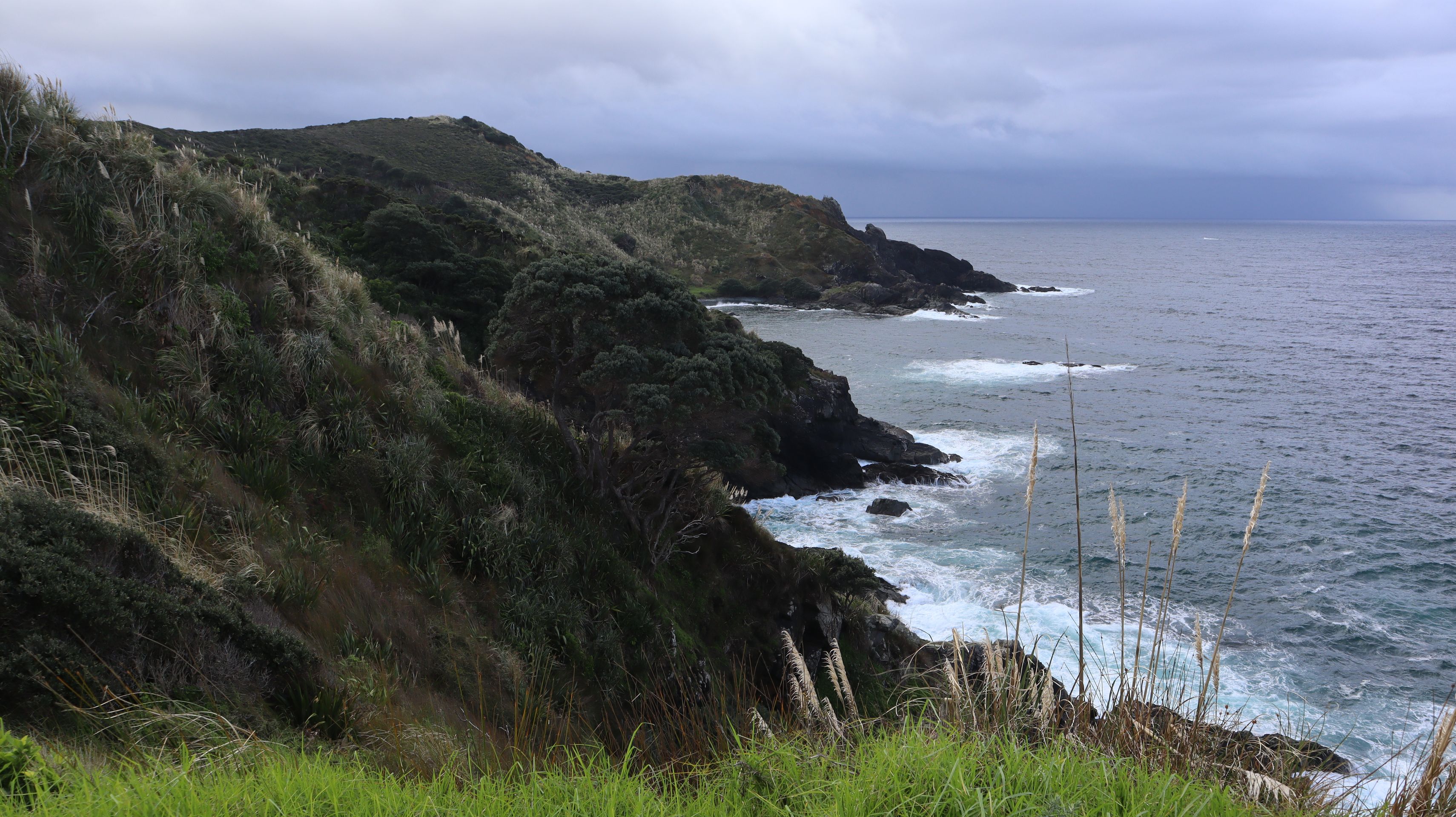
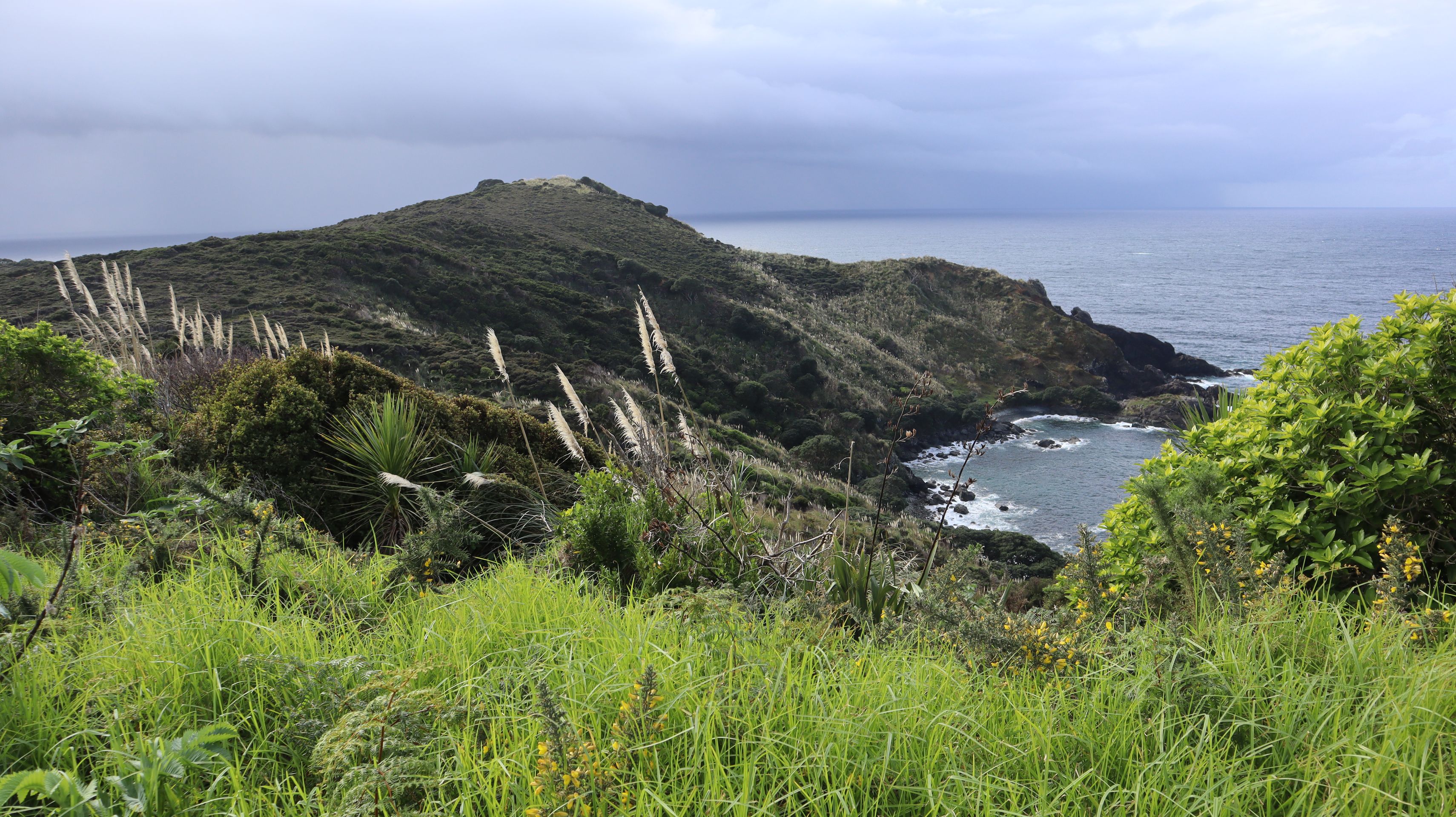
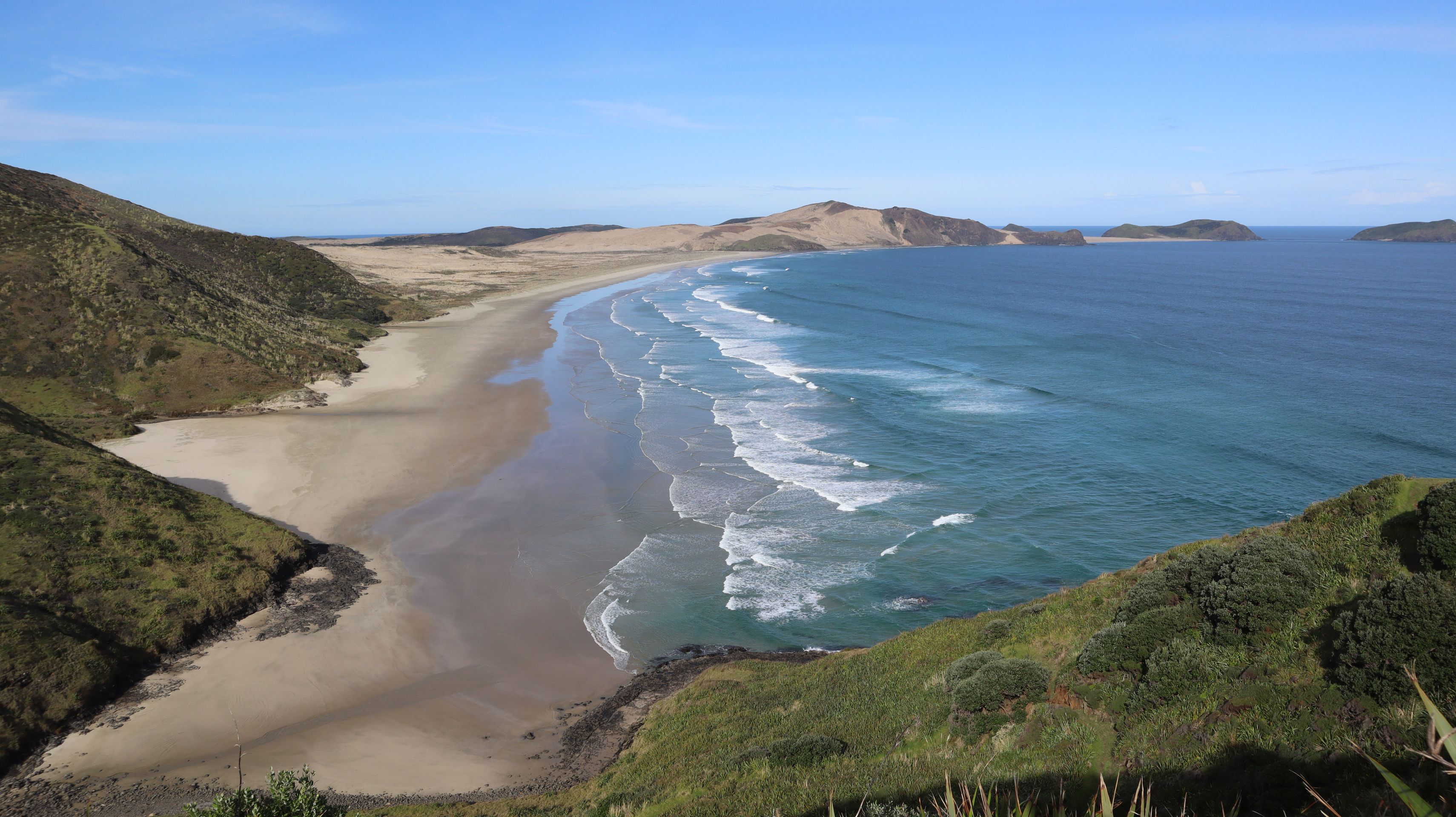
Unfortunately, most of the hiking trails around Cape Reinga are currently closed, so we made our way along the only open track. The trail first went along the cliff edge away from the Cape. Here we had lovely views back to Cape Reinga and the lighthouse. On the other side, there was a large beach, which was also the continuation of the path. So we walked over the entire beach to its other end. Here we would have had to cross a small river to continue walking. We decided against getting our feet wet because we weren't sure how the incoming tide would affect the river, and began our return. It turned out to be the right decision, as the tide was getting closer and we were able to return to the ascent without any problems. If we had come back much later, we wouldn’t have been able to return without getting wet feet.
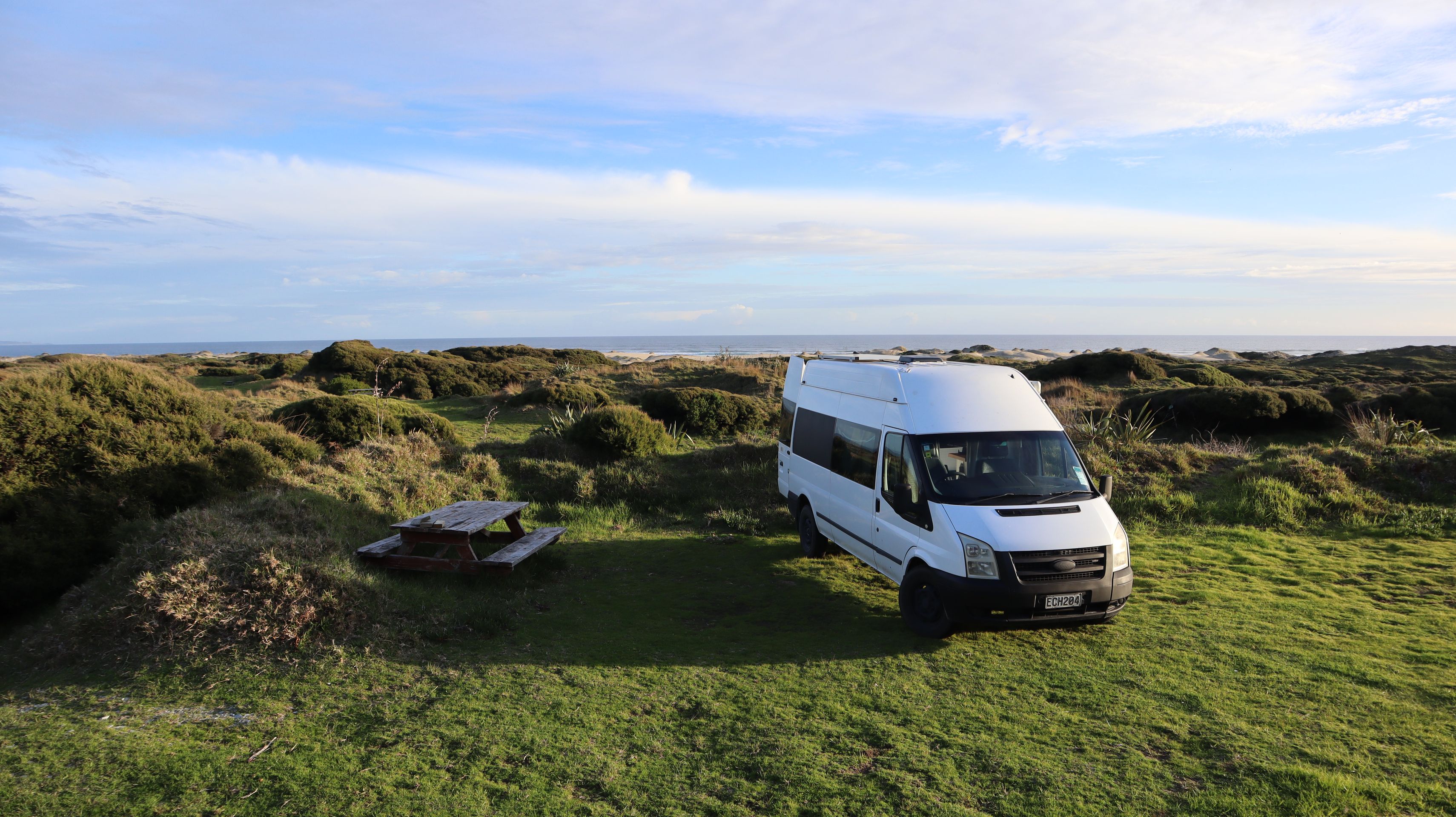
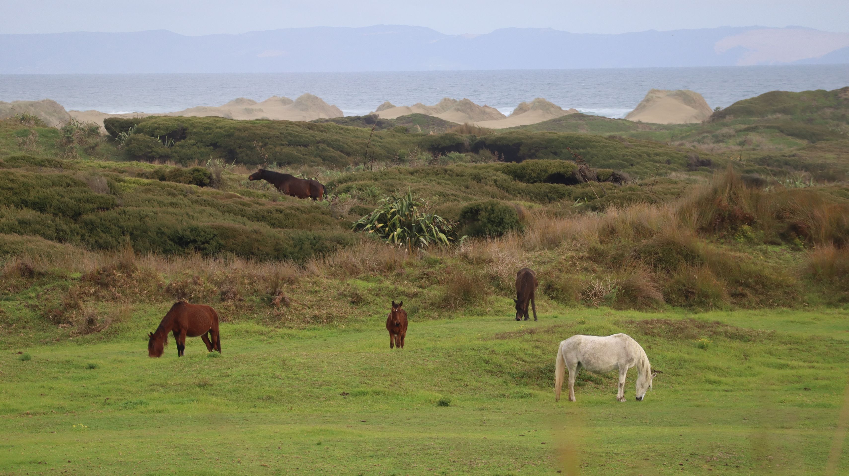
For the next two nights, we booked a spot at Hukatere Lodge. At 60 NZD per night, it’s not the cheapest, but it comes with a hot shower, a nice communal kitchen, and wonderfully functioning Wi-Fi. A group of wild horses also lives on the property. Oh, and cockroaches were included too ;) On the first evening, we had a cloudless sky and a clear view of the incredible starry sky, including the Milky Way.
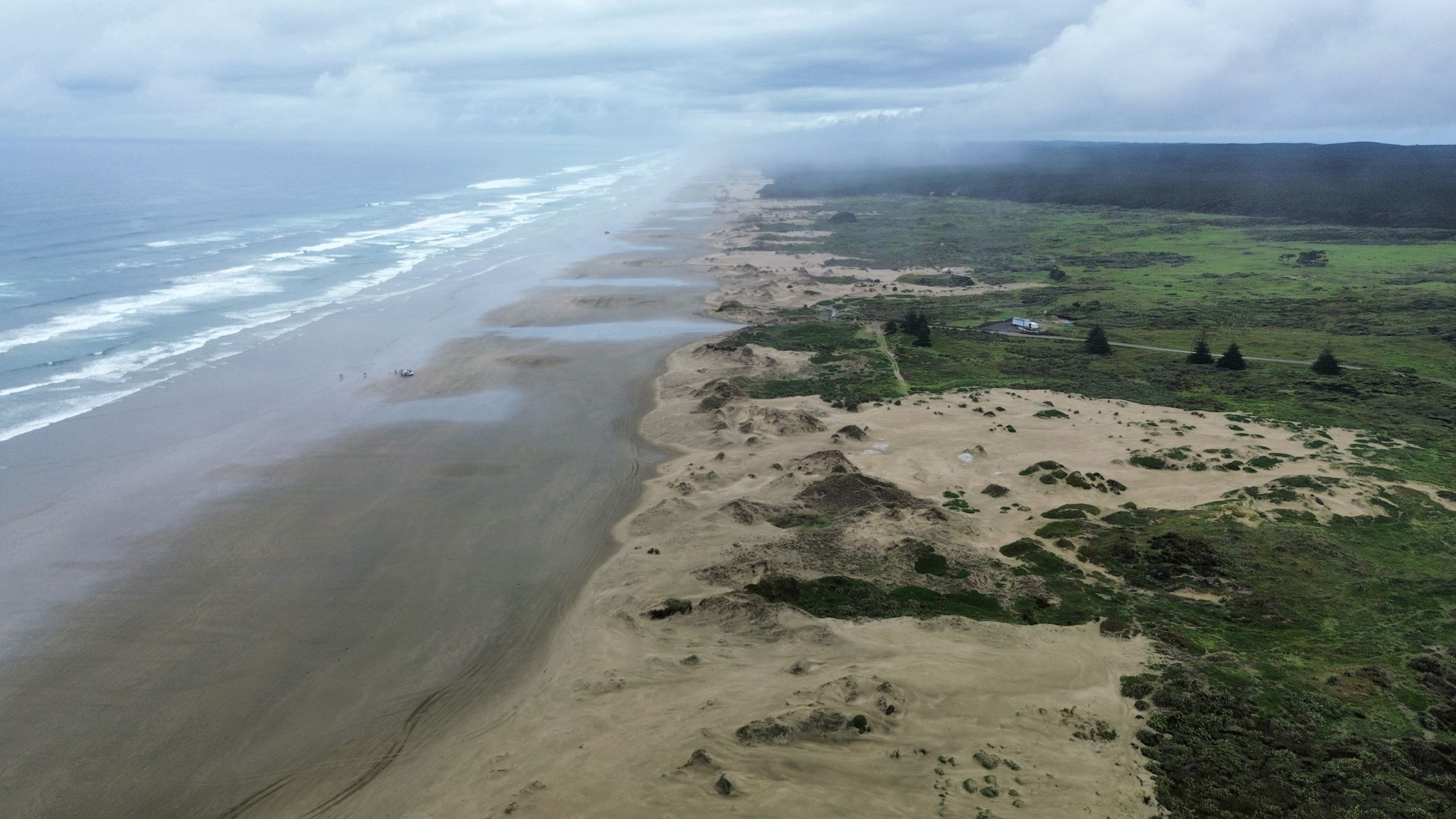
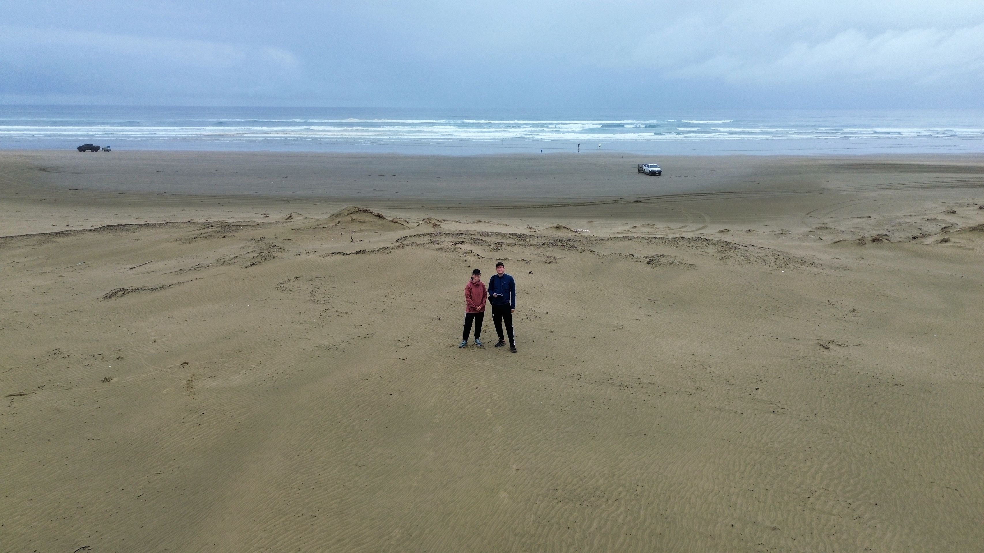
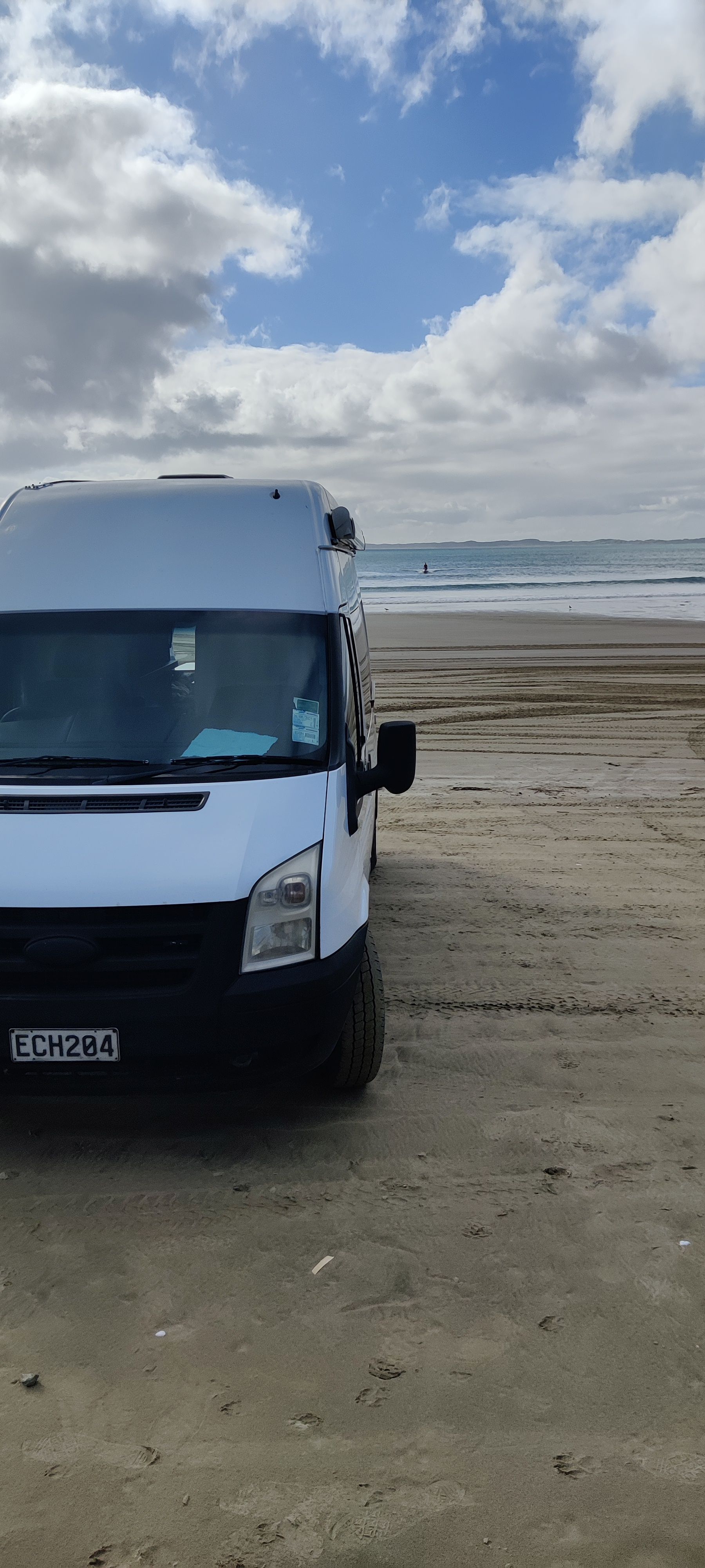
The campsite is also right next to Ninety Mile Beach, the longest beach (140 kilometers) in New Zealand.
Unfortunately, the weather wasn't very good, but since we had planned a rest day anyway, it didn't bother us too much. The walk on the beach was a bit shorter, but Julian was finally able to fly his drone for the first time. The regulations regarding drones in New Zealand are unfortunately quite strict, but we are planning to use the drone a bit more often in the future.
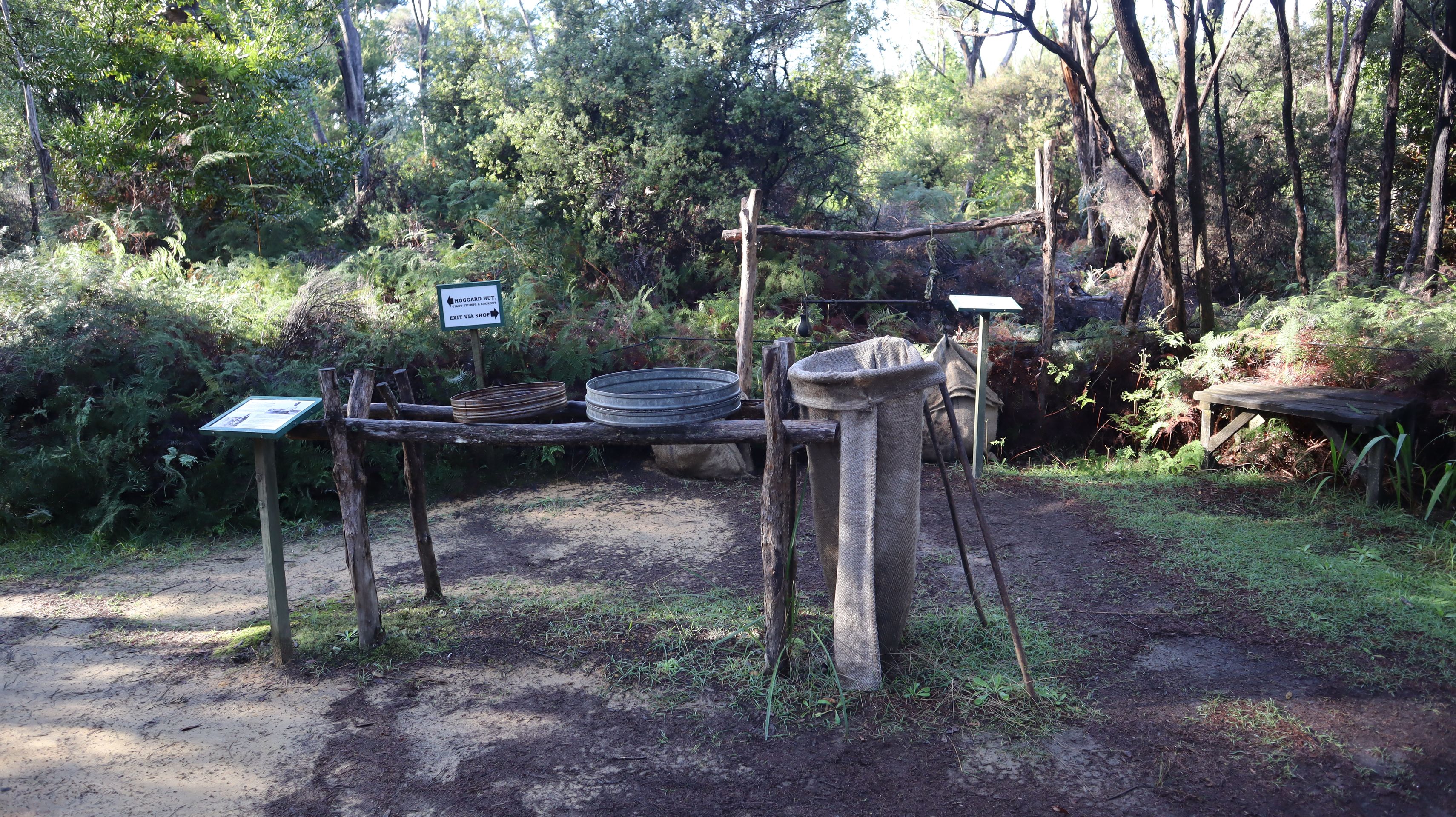
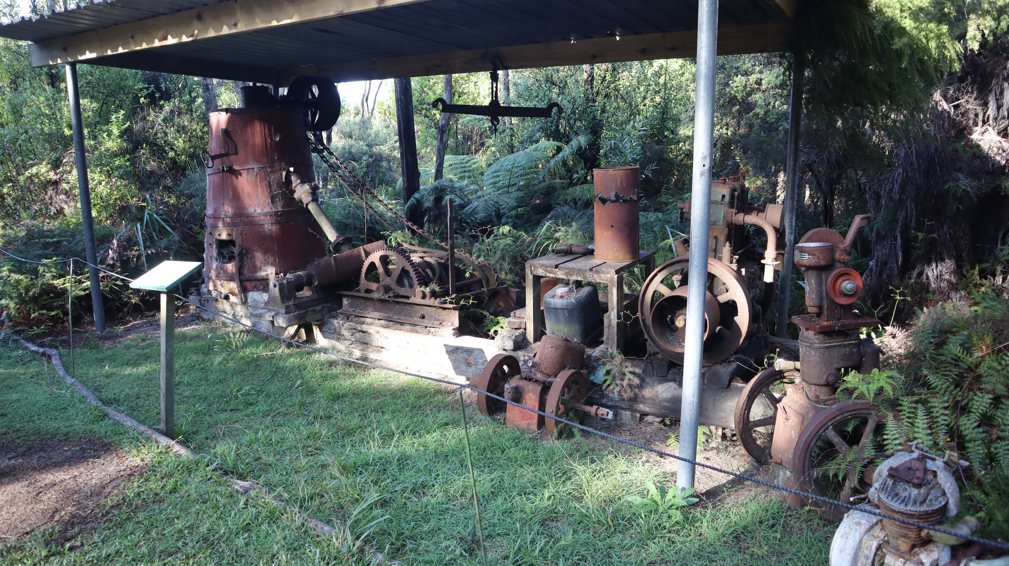
From Ninety Mile Beach, we headed further south. First, we made a small stop at Gumdiggers Park. This park is about the history of the gumdiggers who searched for amber or the resin of Kauri trees at this location. The entire northern part of the North Island used to be a Kauri forest with trees thousands of years old. A massive tsunami in 1450 almost completely destroyed this forest. Today, only smaller Kauri forests remain. Over the centuries, many of the trees have sunk into the ground. In the 19th century, the resin was discovered to be a protective lacquer for furniture, and the hype began. The swampy forest floors were dug up with holes, and similar to gold mining, the earth was washed and screened to find chunks of resin. Even today, the forest is dotted with holes and caves. The Gumdiggers Park has been in the family since the 19th century. Therefore, many old photos, as well as the tools of the gumdiggers, are displayed in the exhibition.
Our next stop was Shipwreck Bay. Again, we brought out the drone, and had a nice view towards Ninety Mile Beach. The wreck is only slightly visible as it seems to be buried in the sand now. After a little break on the beach of Ahipara, Franzi found out that a small festival would take place in this town later for Matariki. Matariki is the Maori name for a specific star formation, the Pleiades or Seven Sisters. Matariki is also the Maori New Year. The rising of the Matariki star cluster in the sky in the middle of winter signals a new beginning, a time when communities come together, share food and stories, and connect with their culture and heritage.
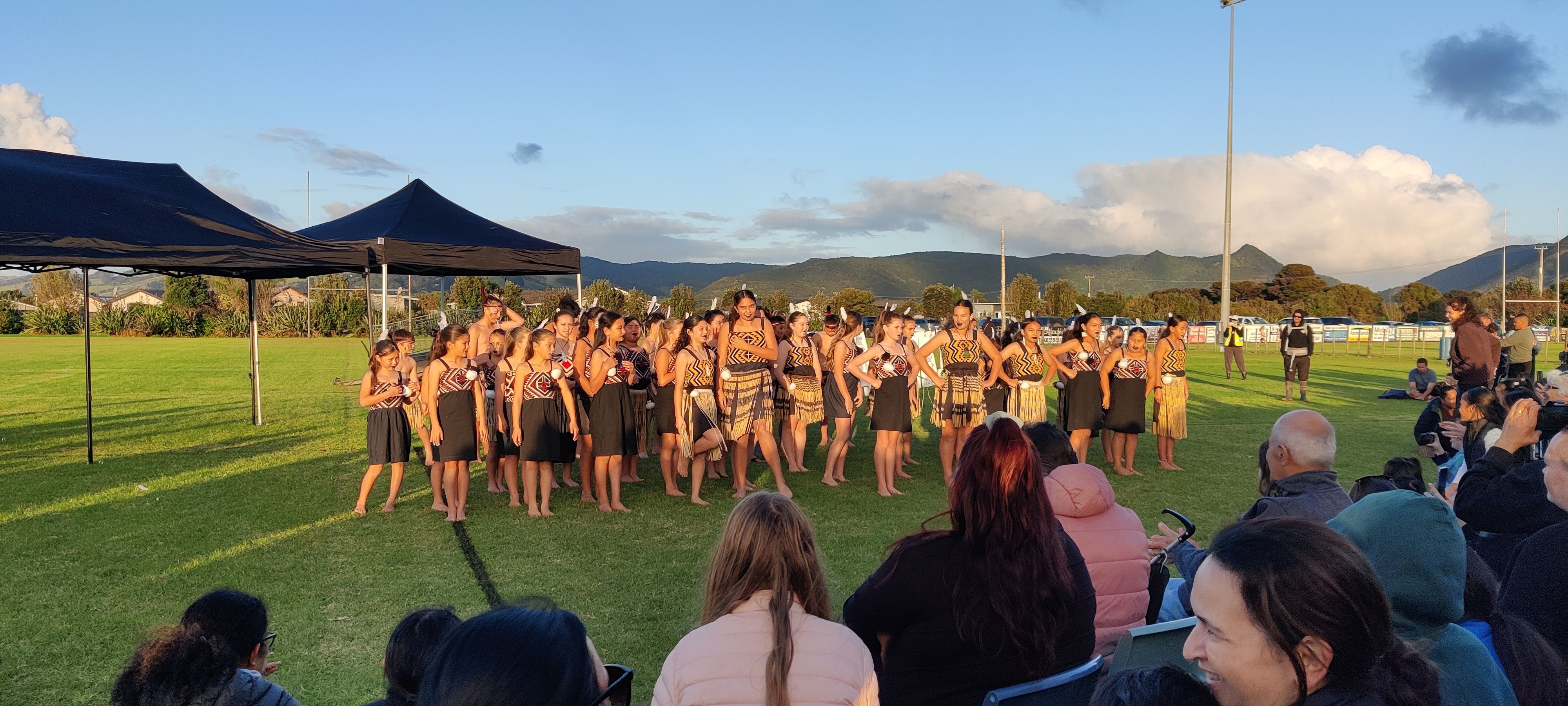
The festival itself was more of a local event organized by the school and local groups. There were various food stalls and some activities for children. A small performance by the schoolchildren in traditional dresses along with a few Maori songs rounded off the evening.
All in all, it wasn't particularly exciting, but it was still a great experience to witness the celebrations.
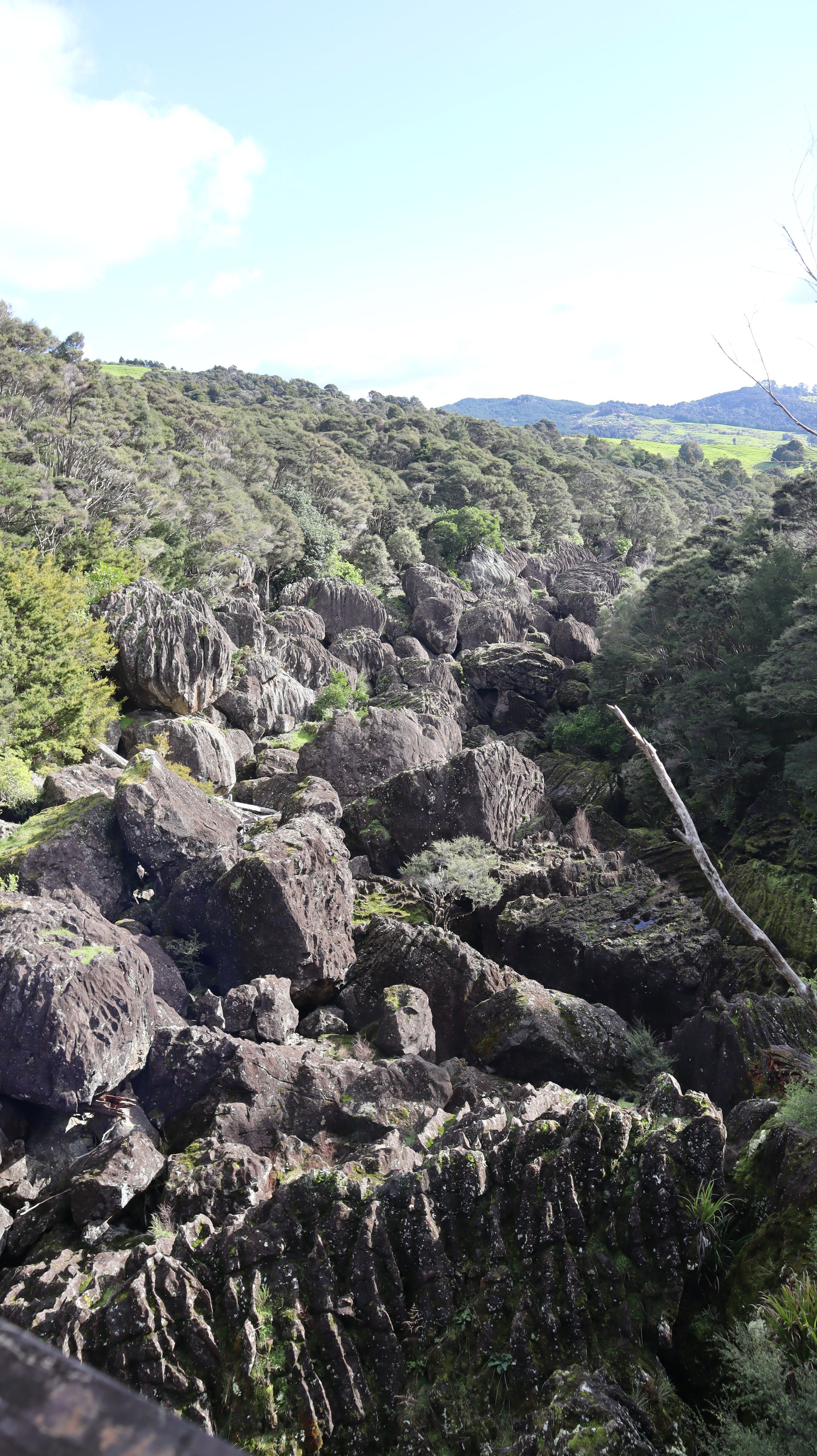
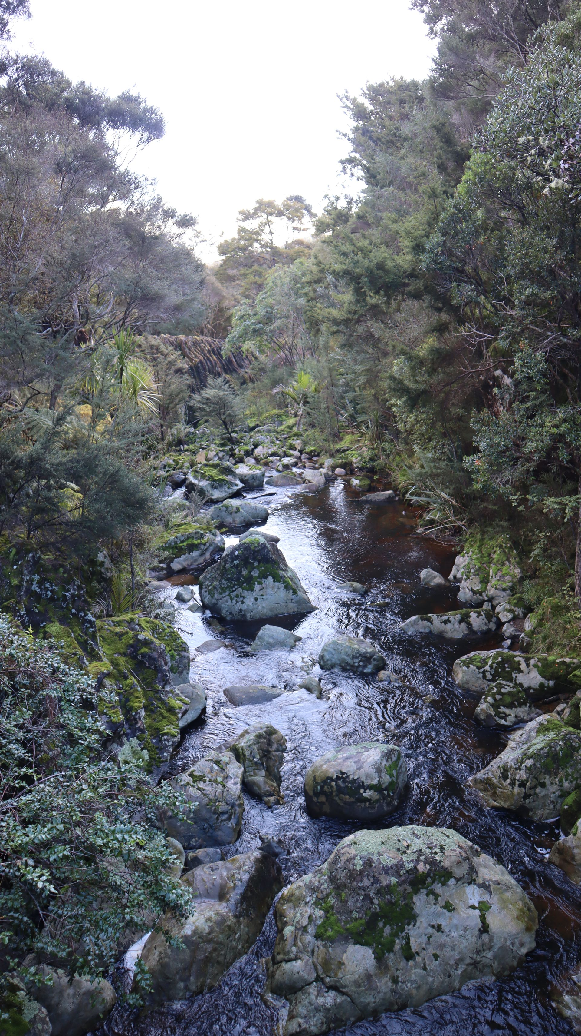
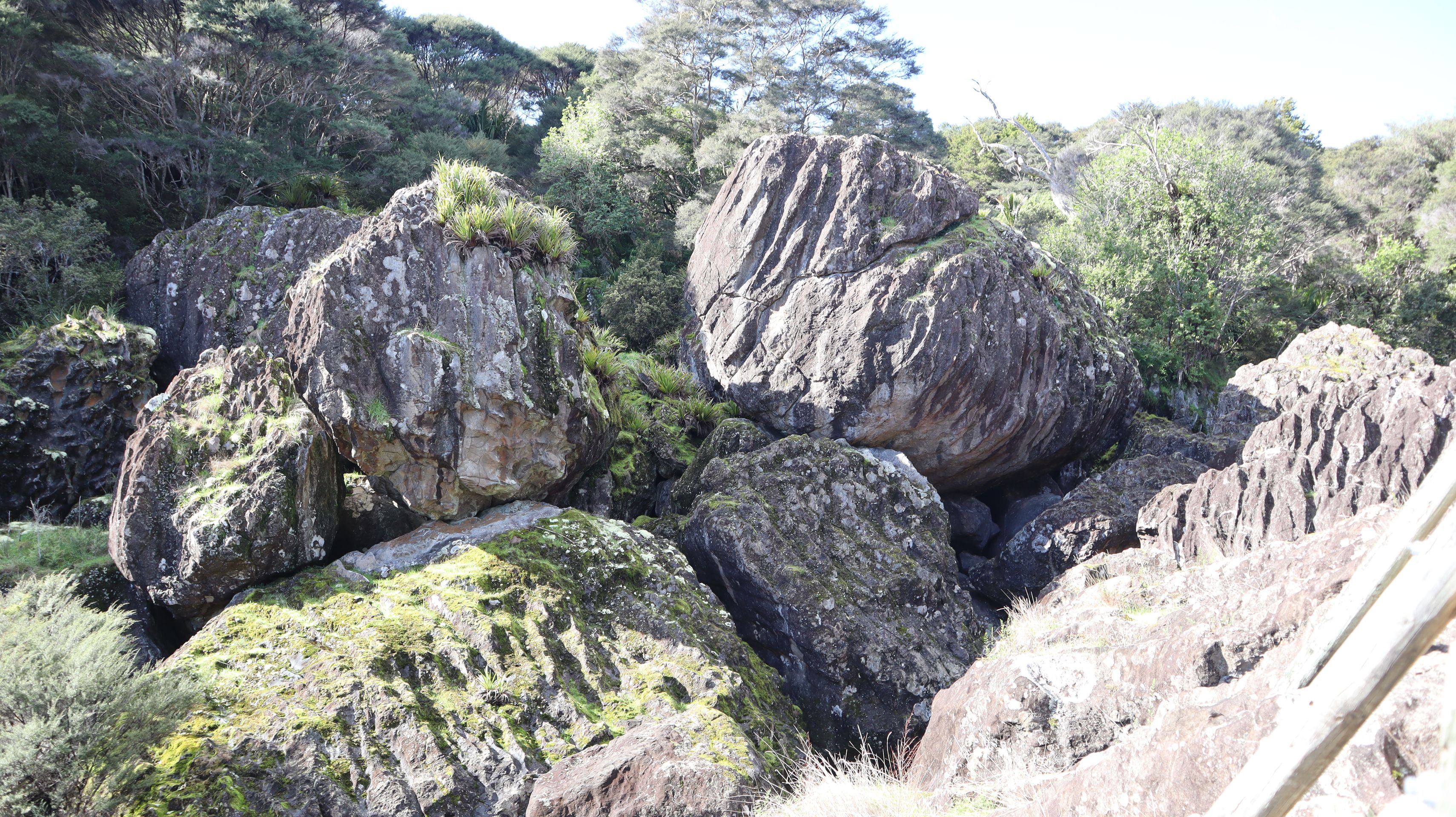
We spent today in Wairere Boulders Nature Reserve and Campsite. A small privately run park where we took a hike to the Magic Rock and absorbed the lovely surroundings by the river with various boulders and formations.
A little insight into our overnight spots: We try to stay for free as much as possible. Wild camping is prohibited, but many parking lots allow overnight stays. These are usually very unglamorous: gravel parking lot with public (long-drop) toilets, sometimes a cold (outdoor) shower as well. We have a toilet in the van, but it’s more of an emergency toilet. This means that we use public toilets 99% of the time. They’re not always clean and pretty, but they serve their purpose. Sometimes the parking lots are located beautifully by a bay or in a nature reserve.
On the other hand, there are DOC (Department of Conservation) campsites. The standard sites are often no better than a parking lot and are often not maintained during winter. This means there is no reception or anyone checking on the toilet etc. However, you can still use the sites. Since we have a DOC pass, we can use these campsites for free.
The proper campsites are usually too expensive for us, and the benefits are often not high enough for us to justify spending on them.
Therefore, we are living really spartanly and unglamorously here in New Zealand, and the next shower is often days away.