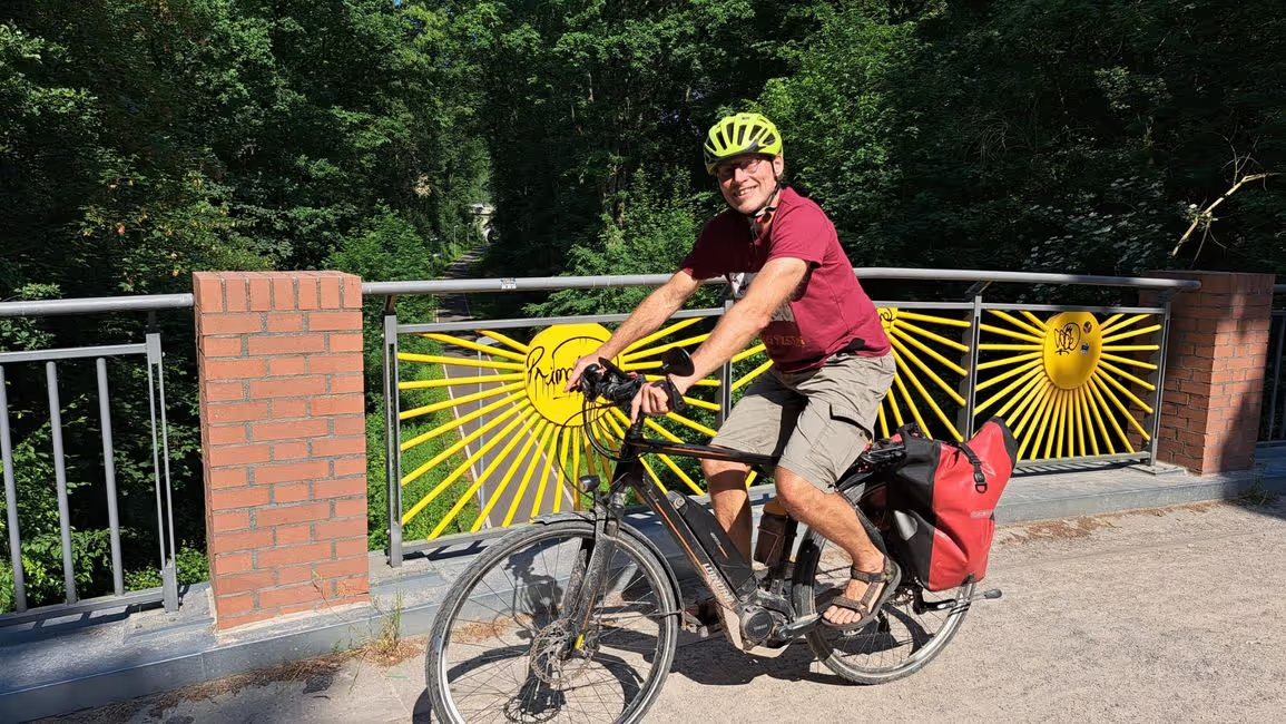
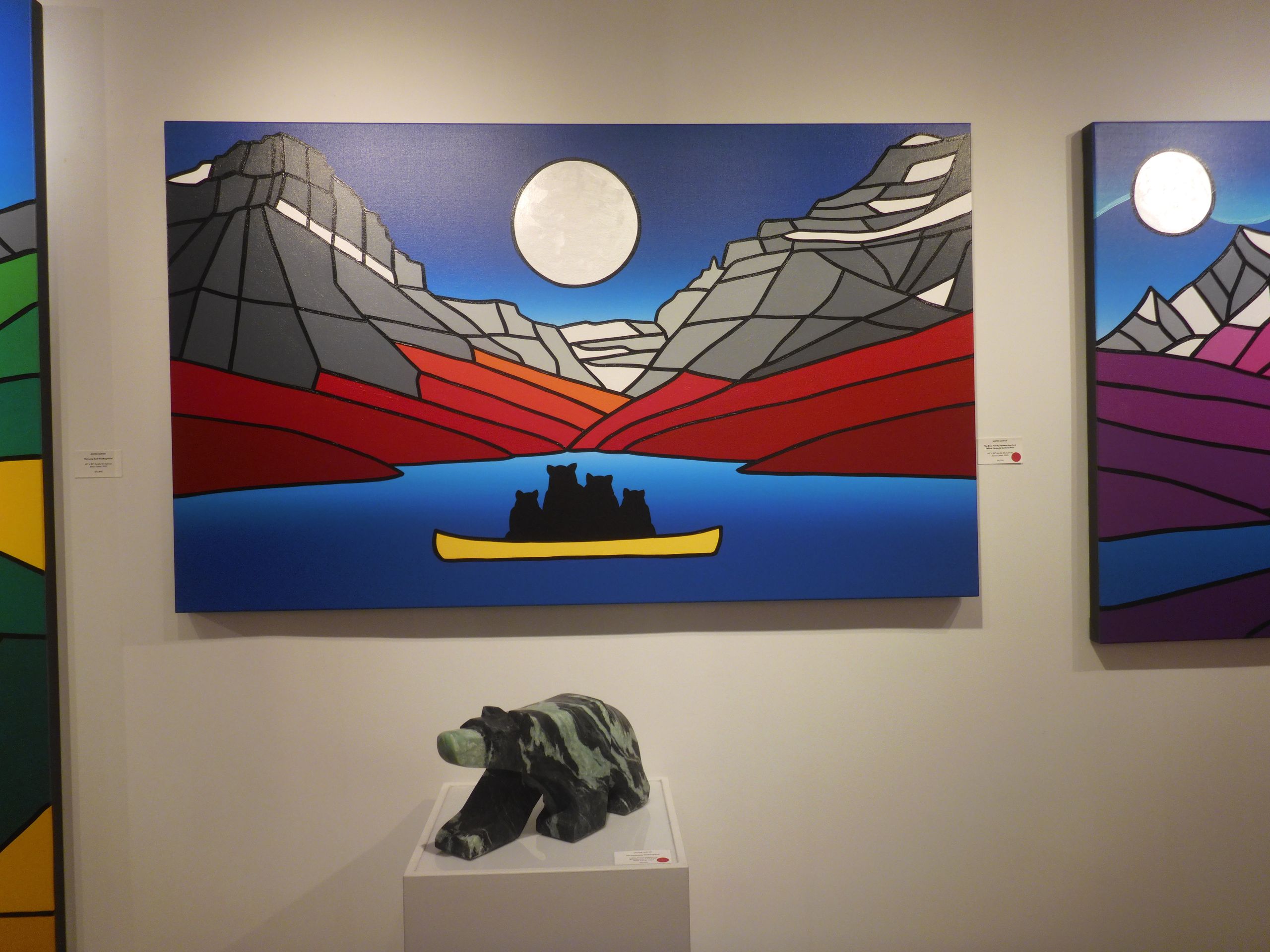
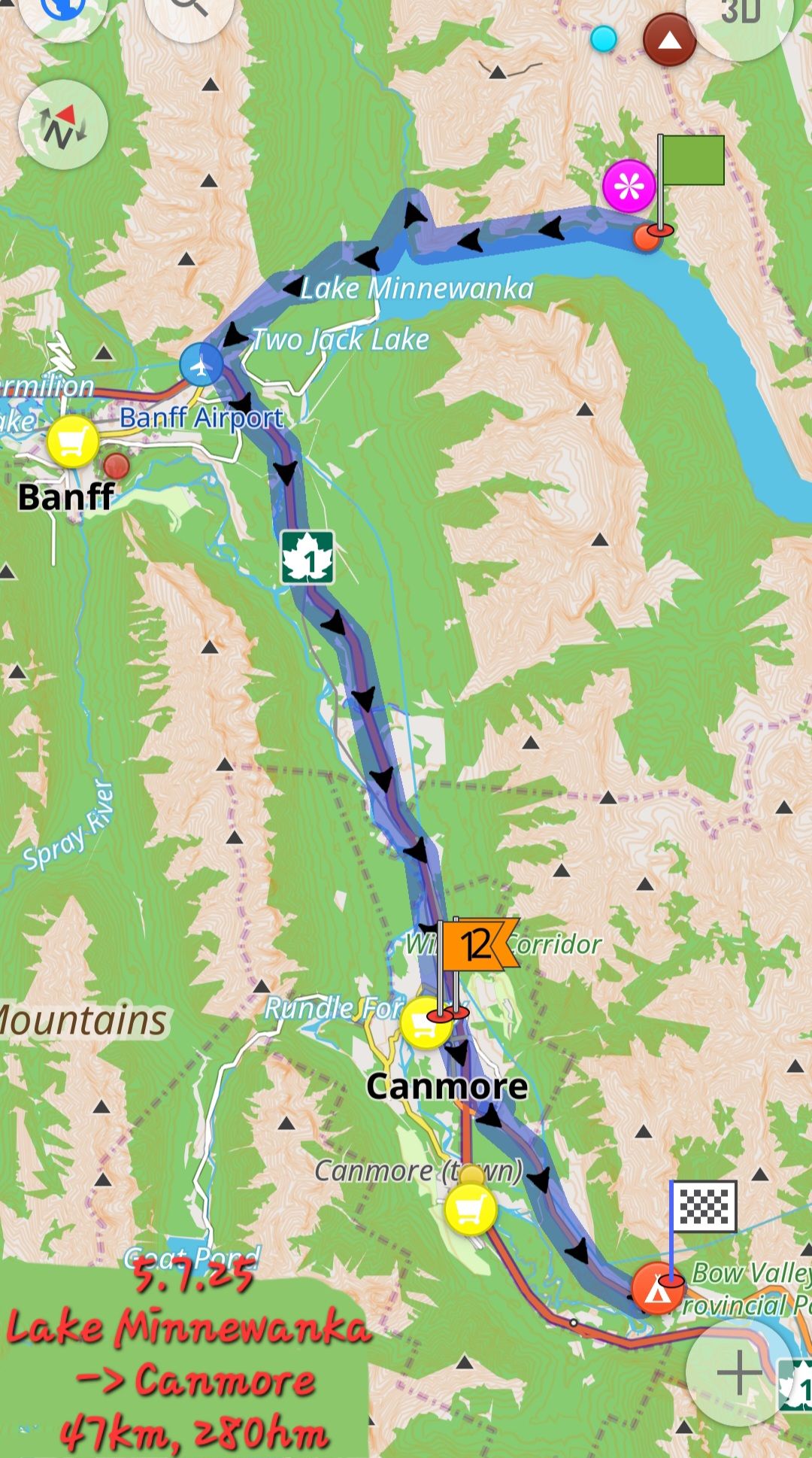
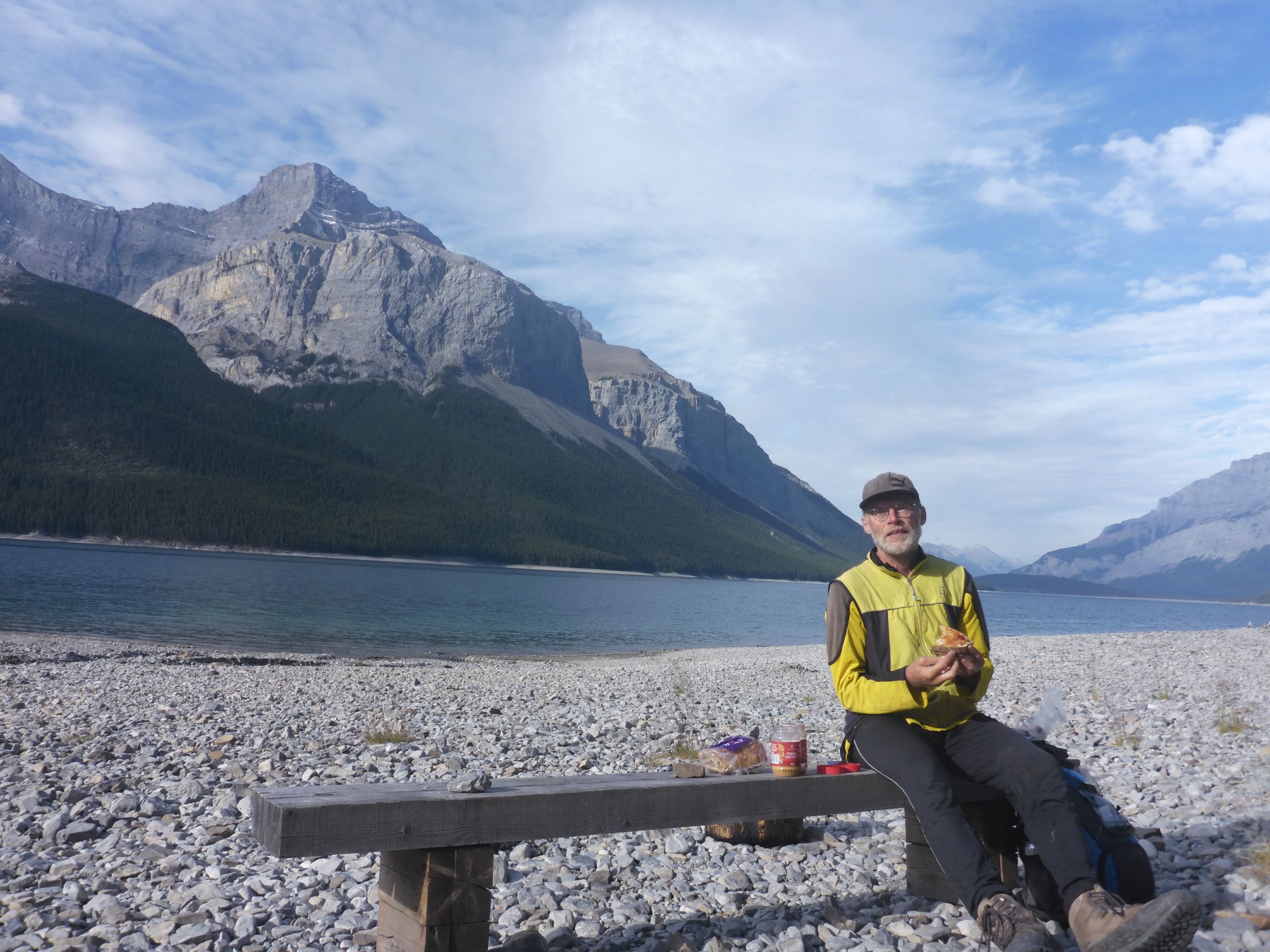
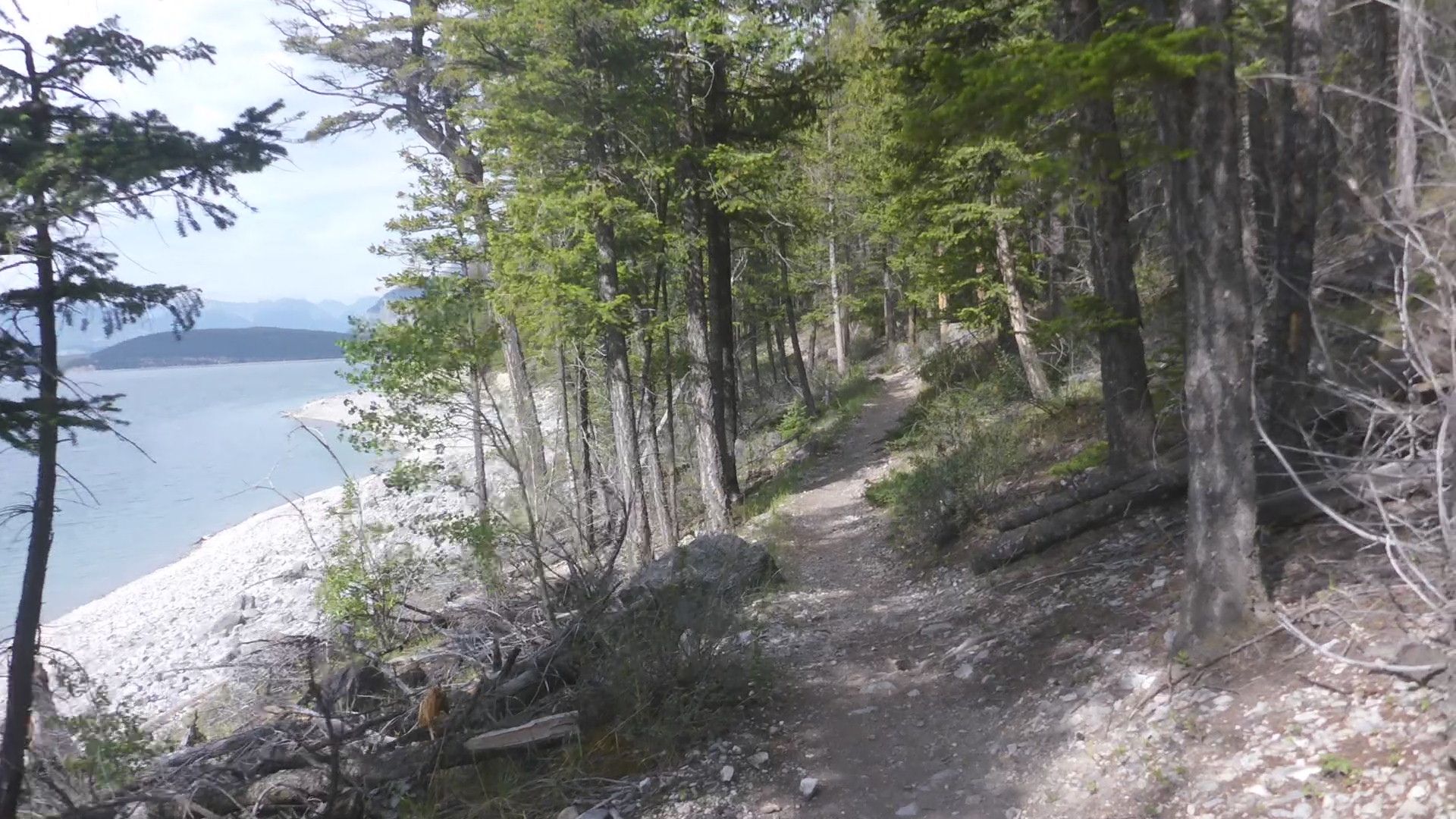
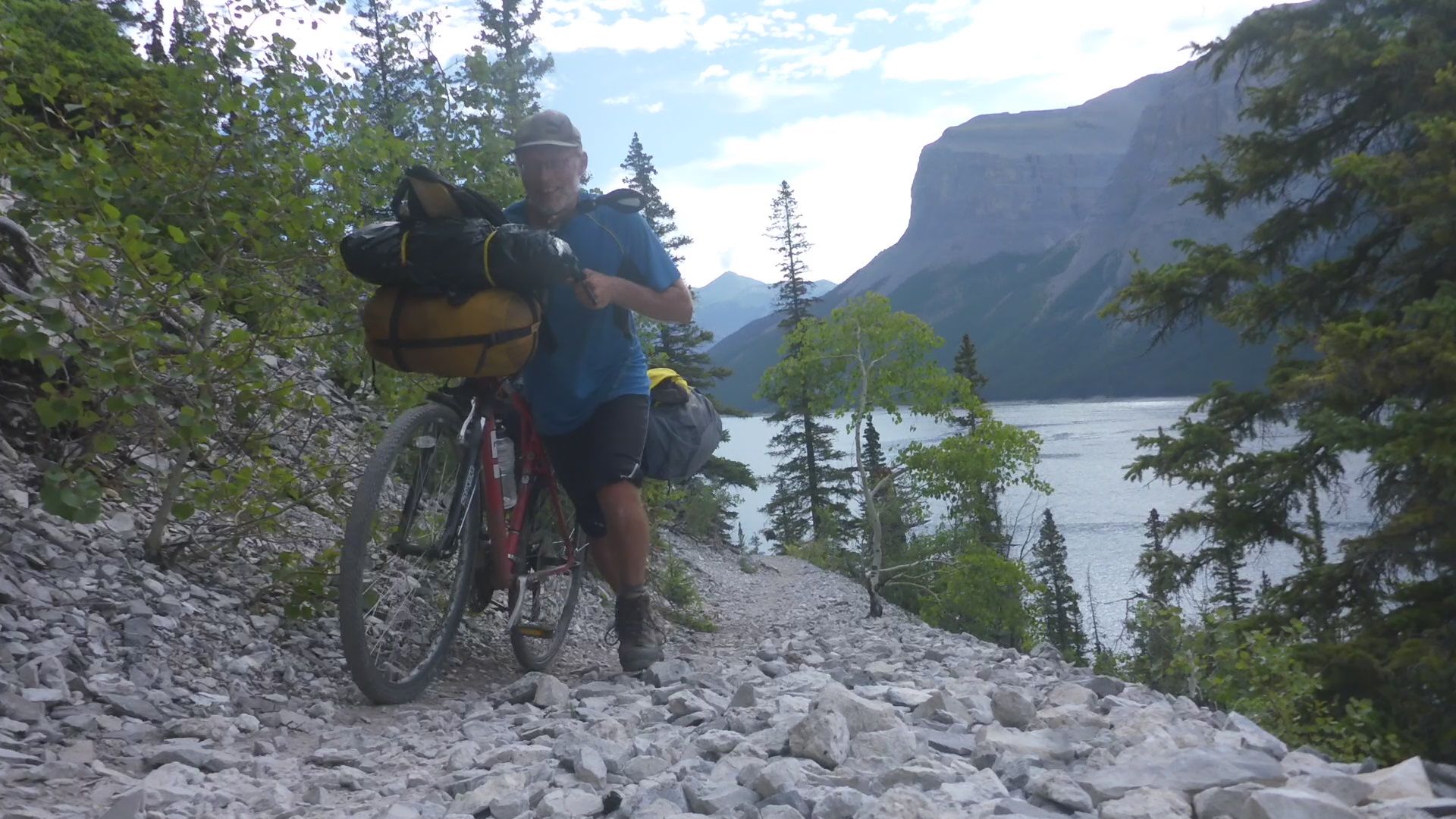
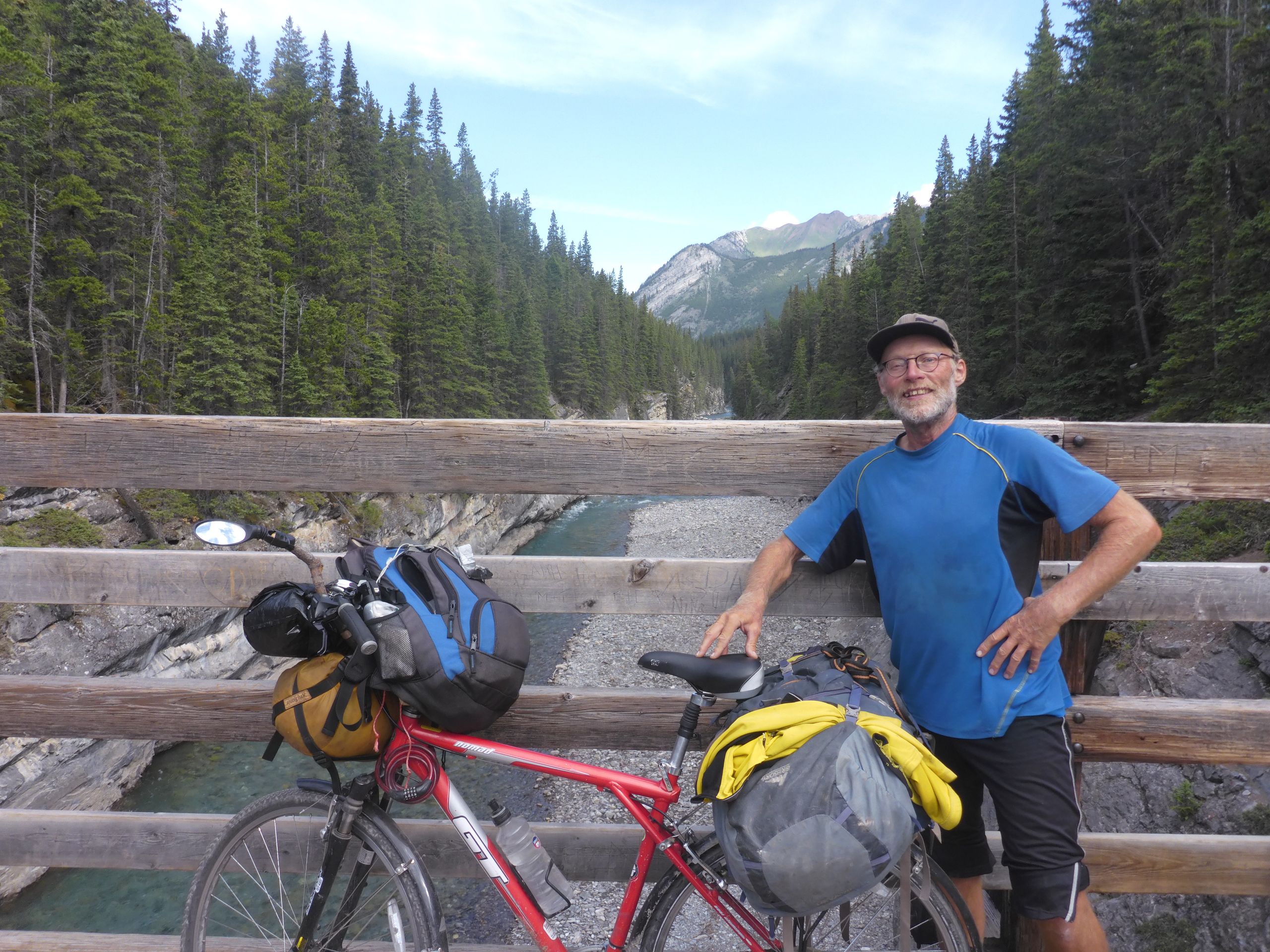
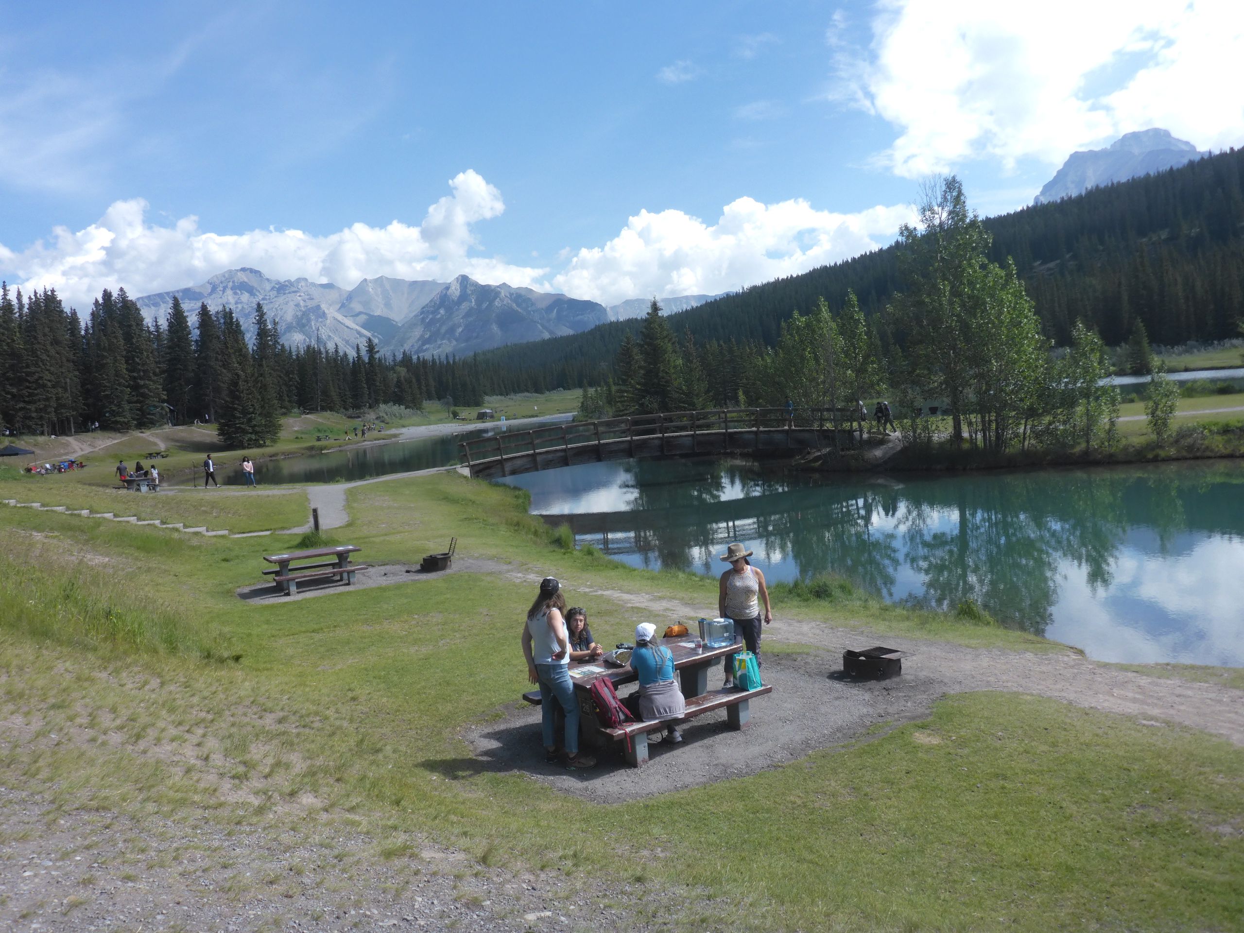
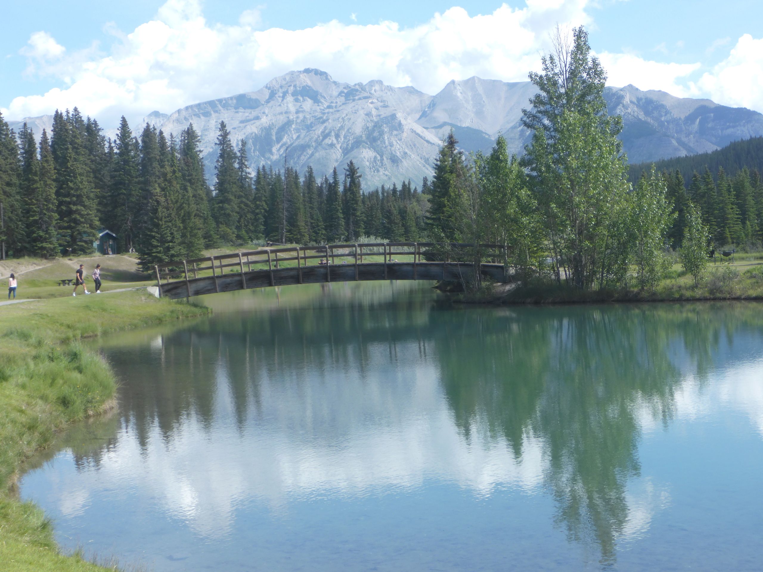
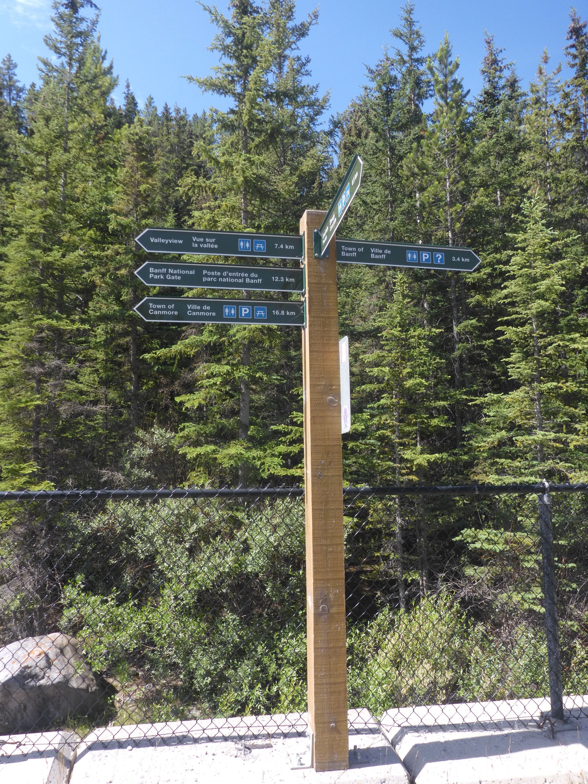
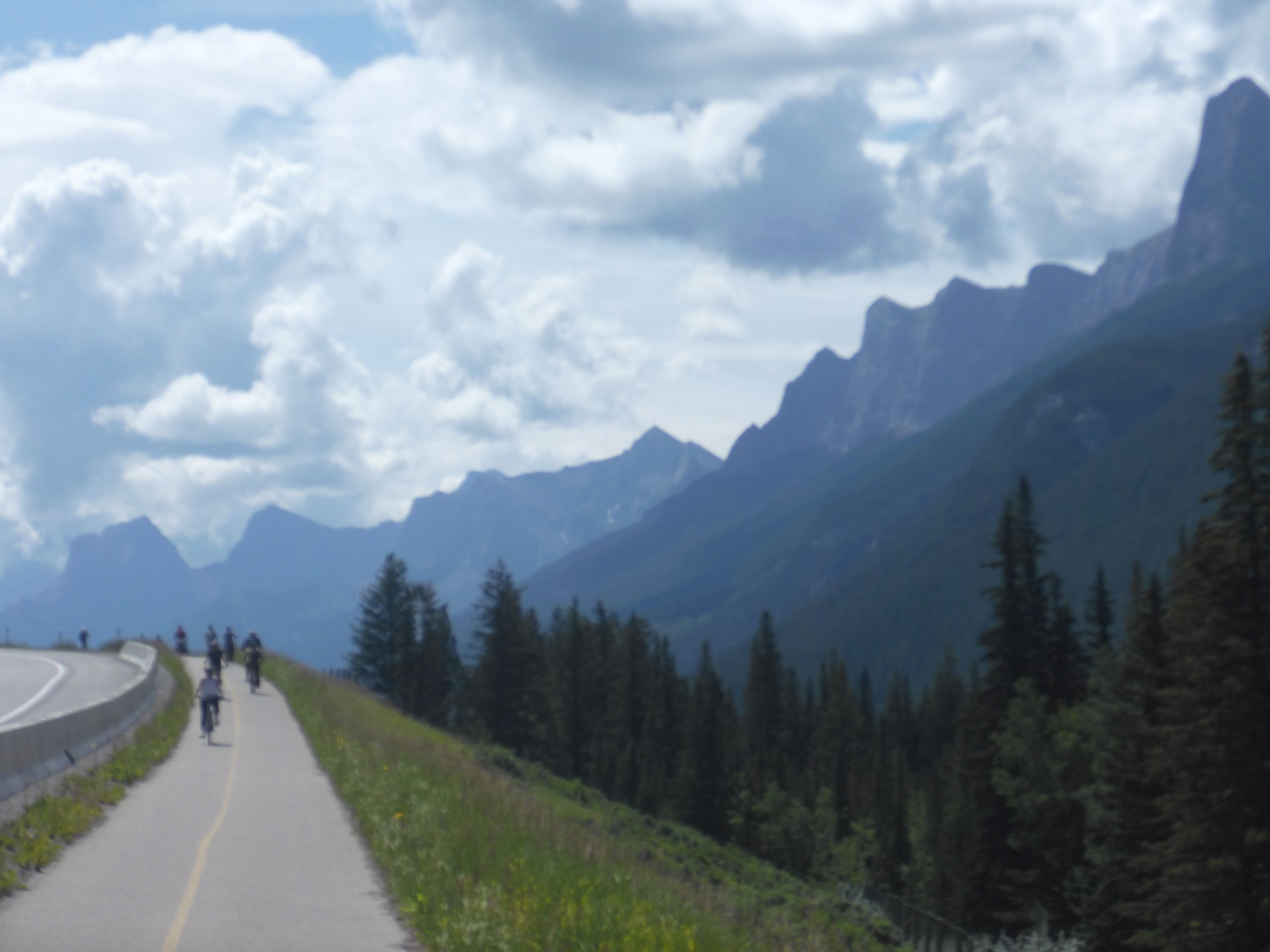
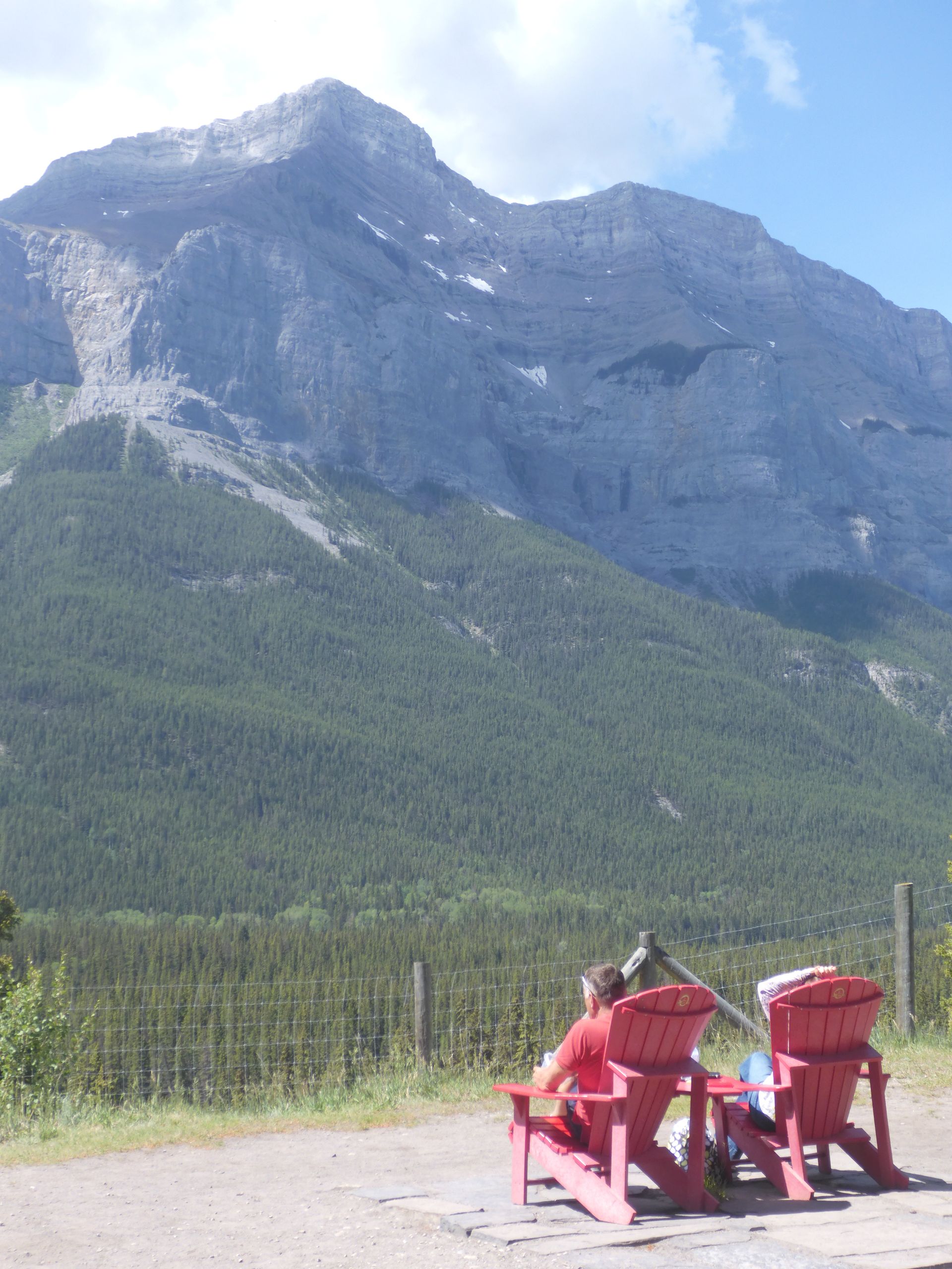
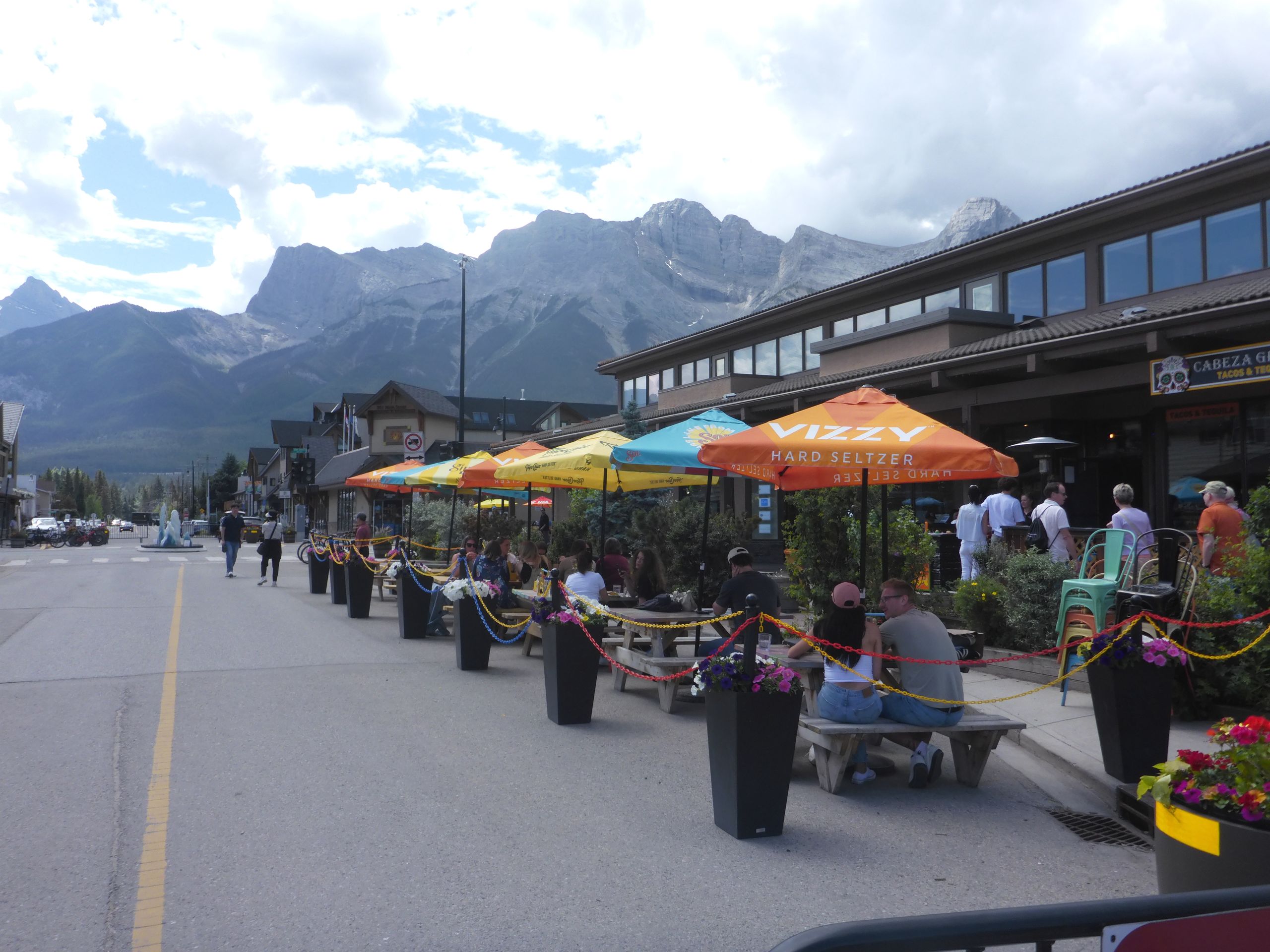
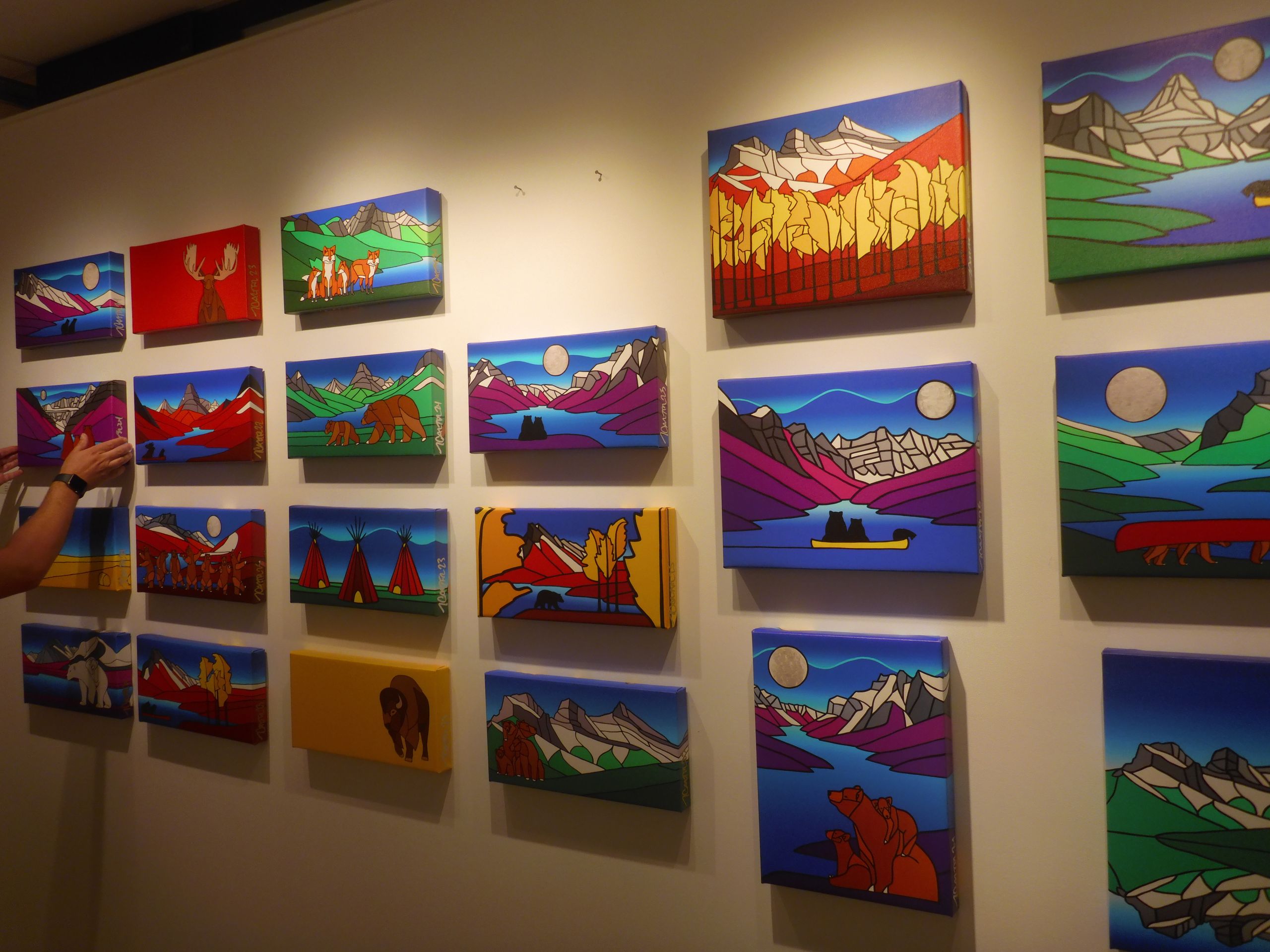
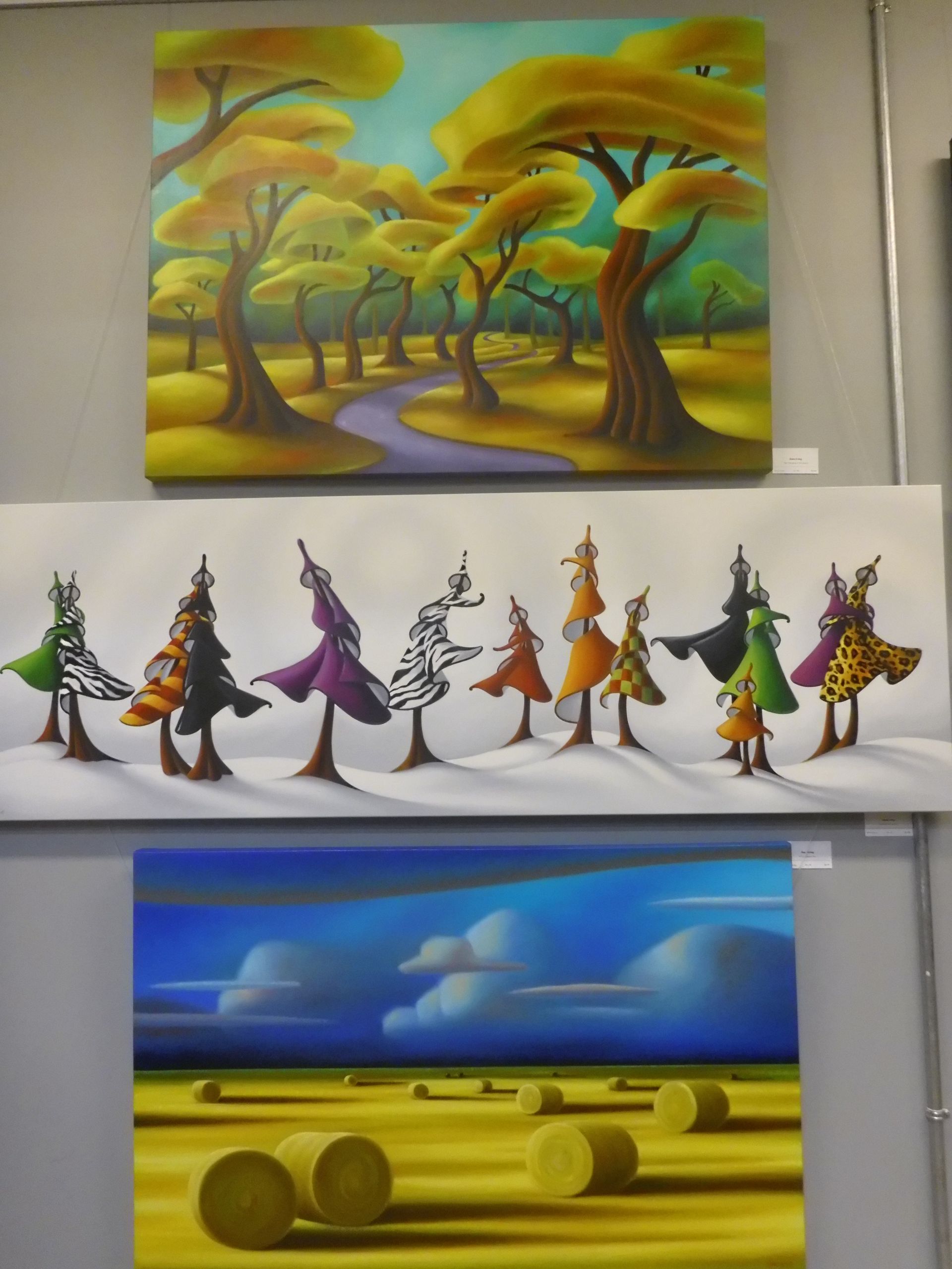
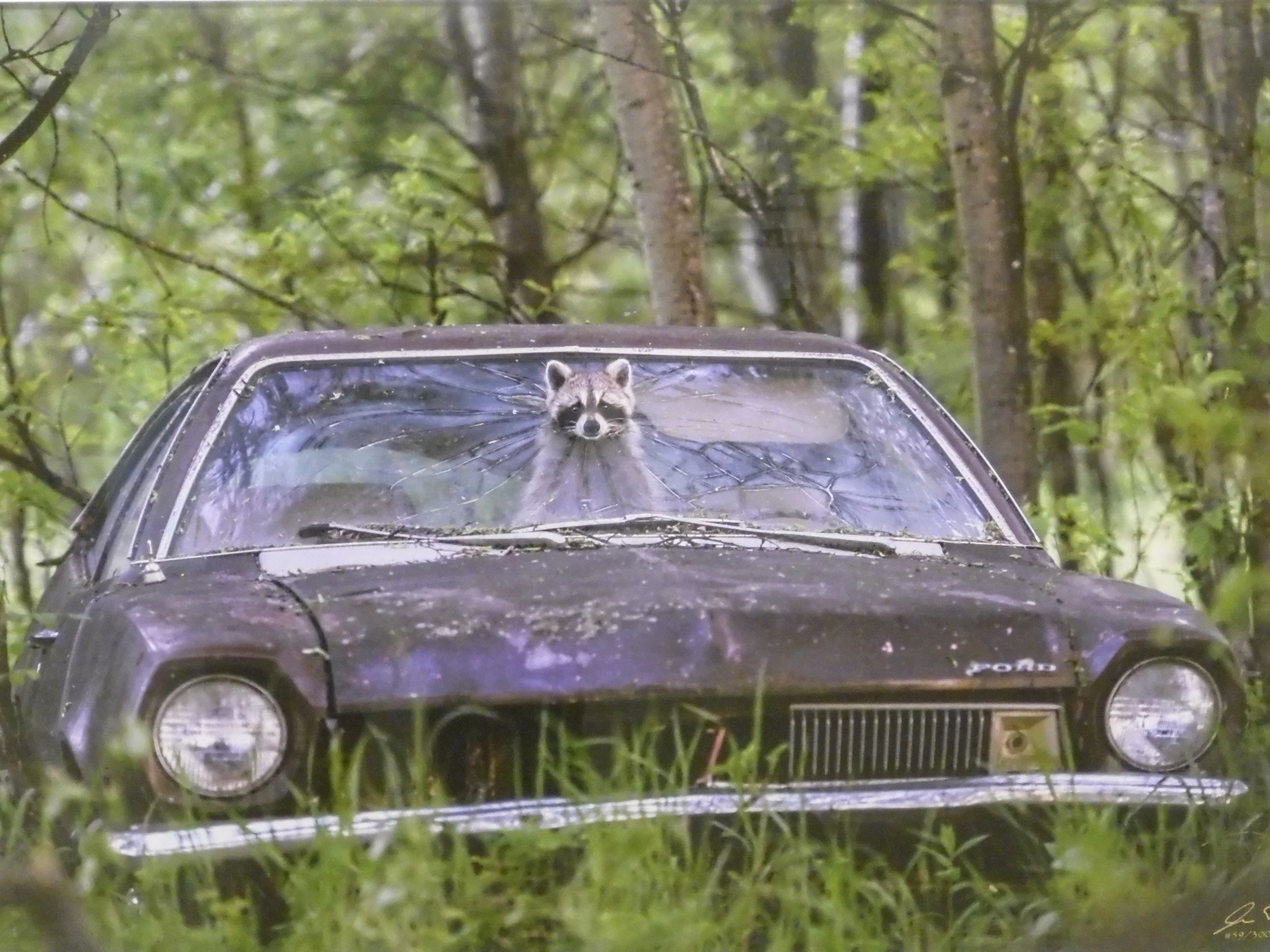
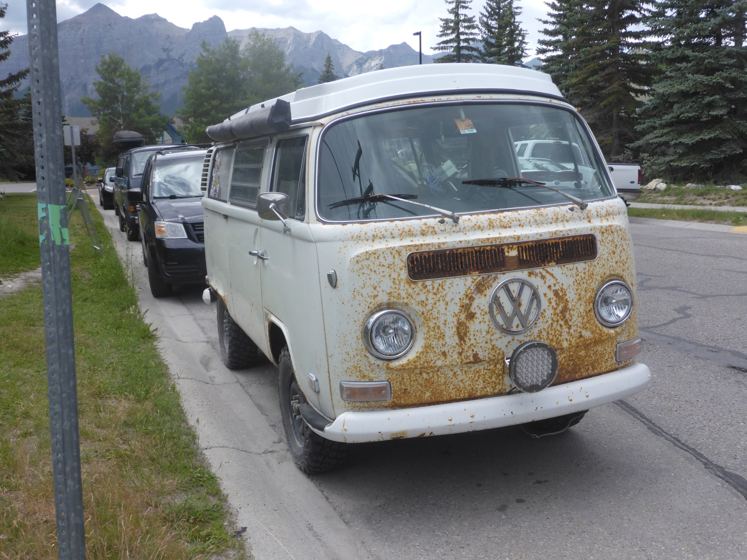
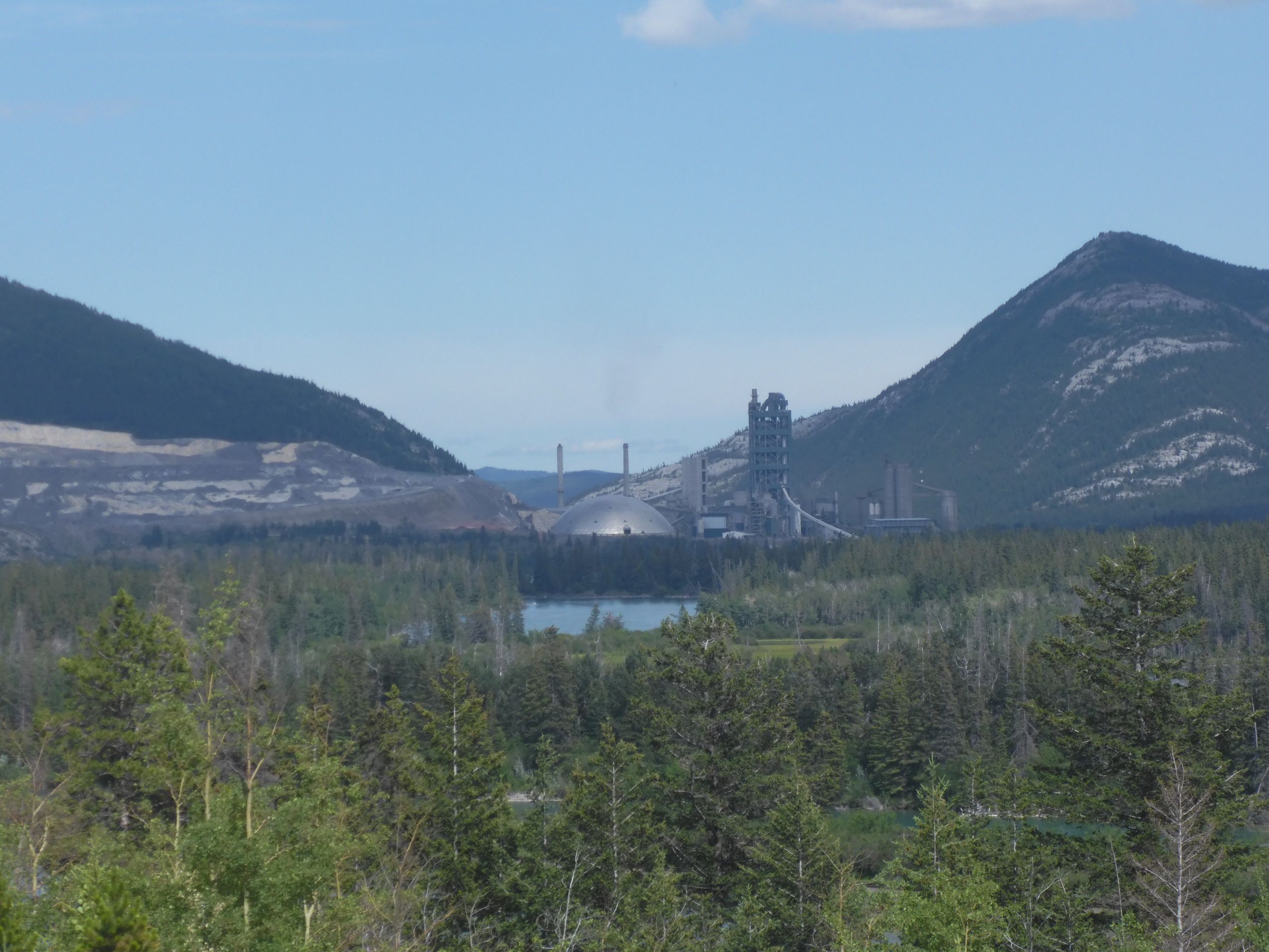
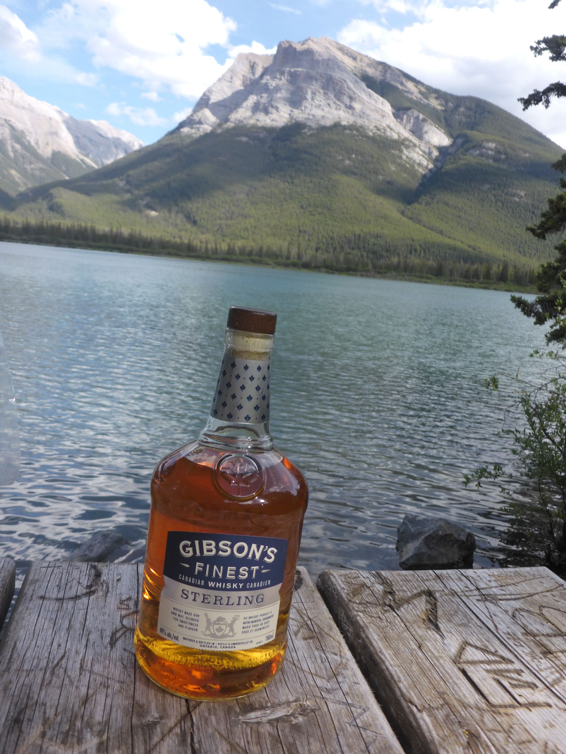
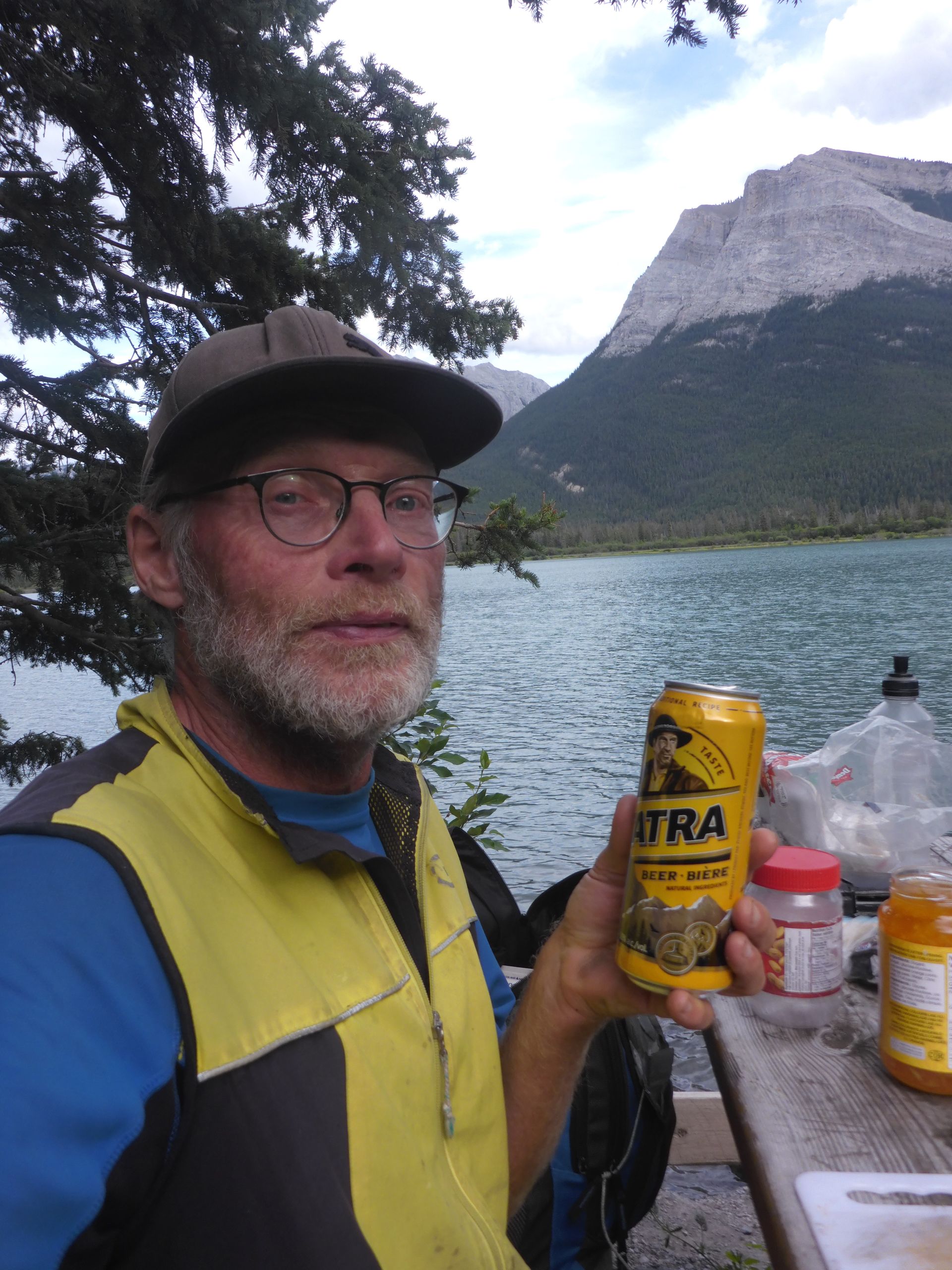
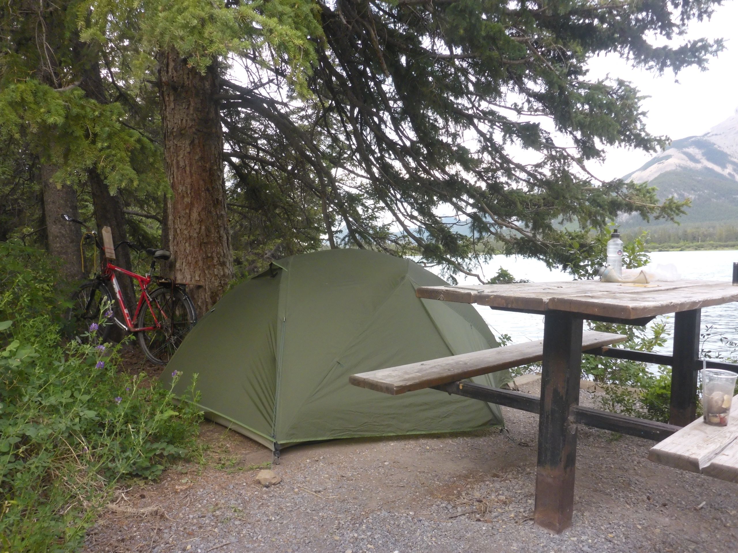
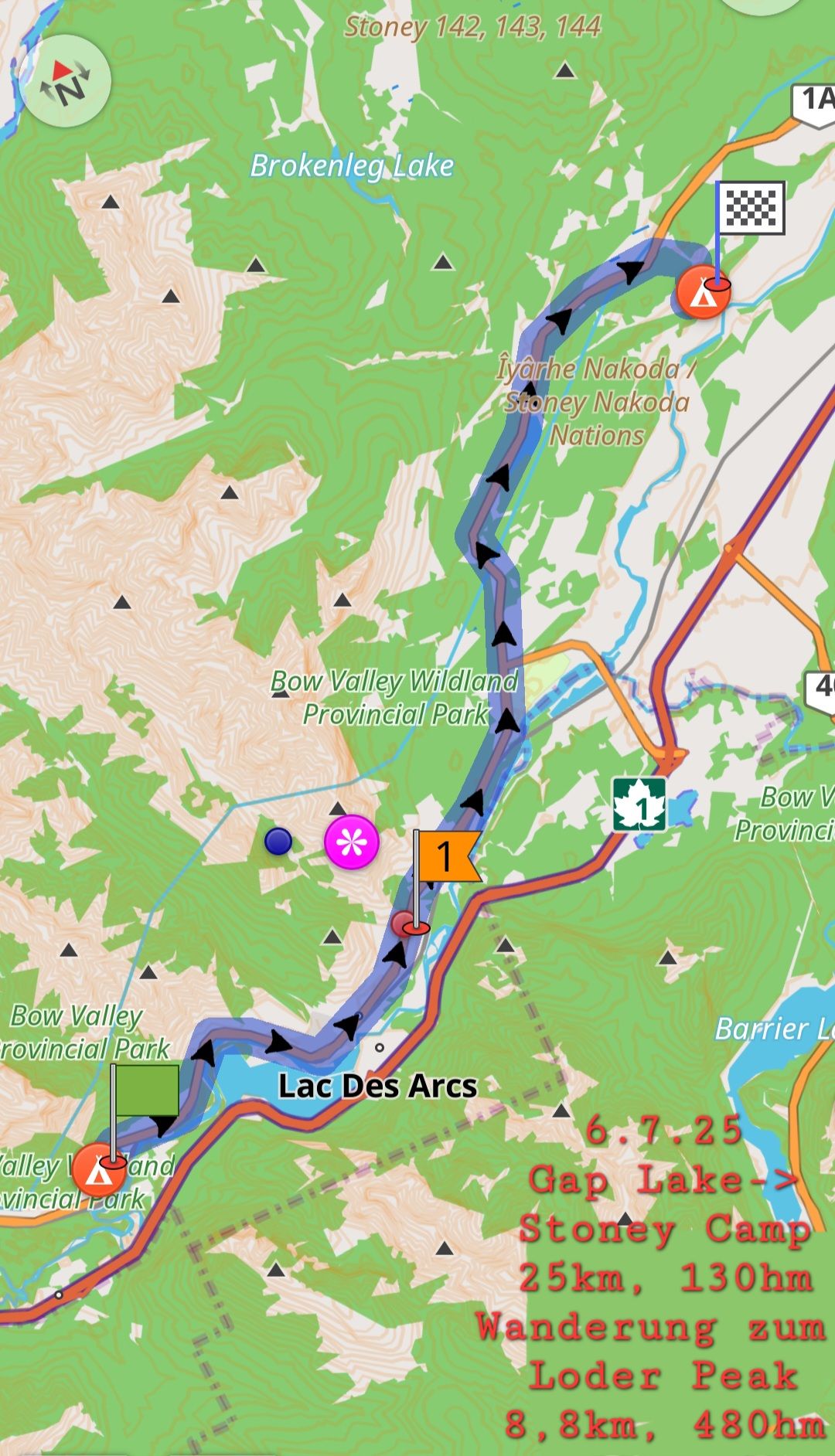
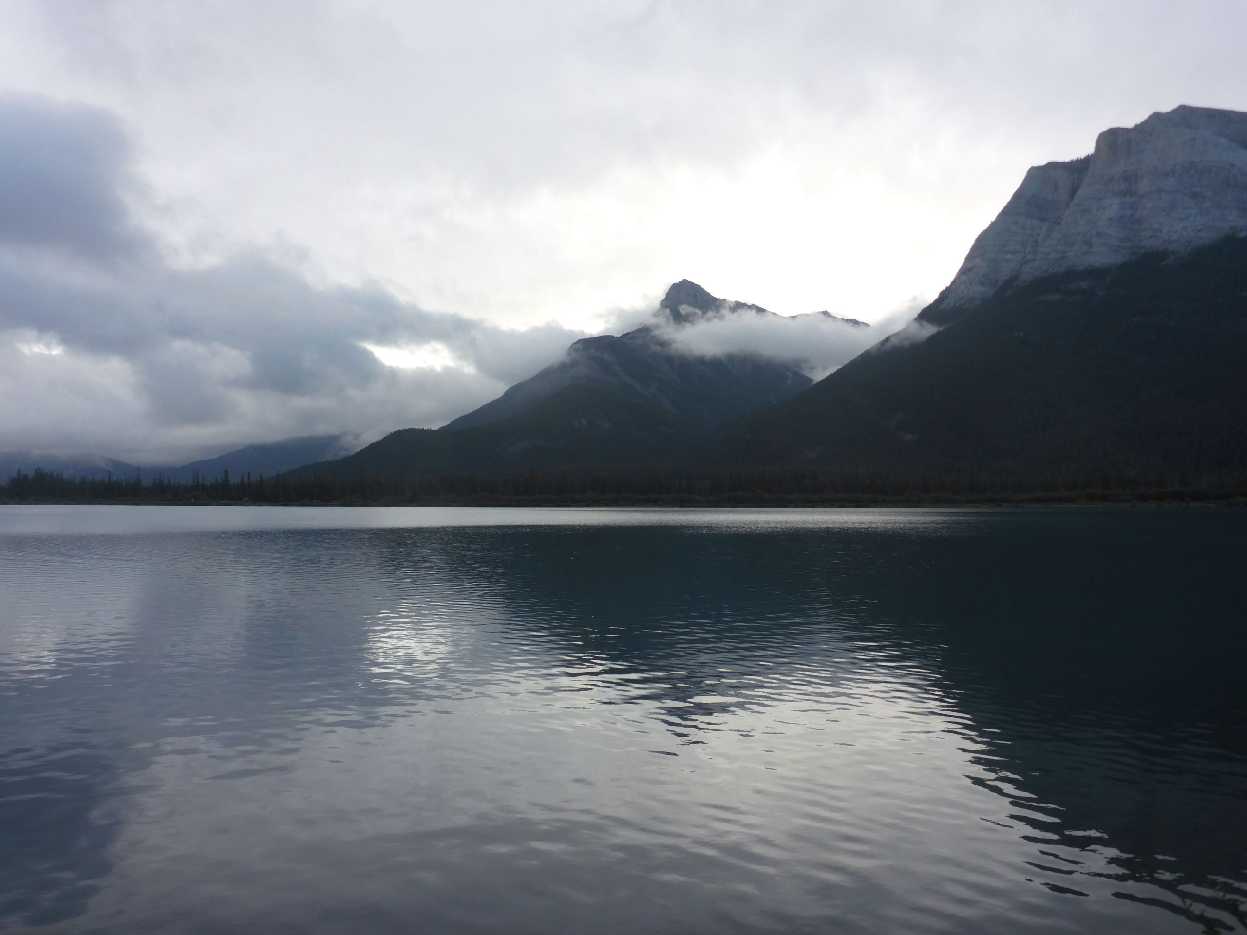
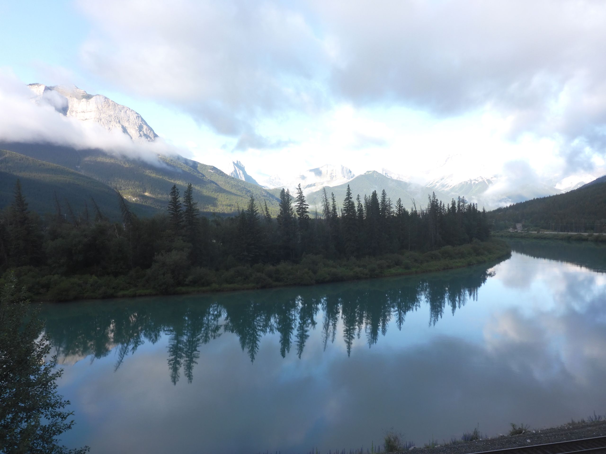
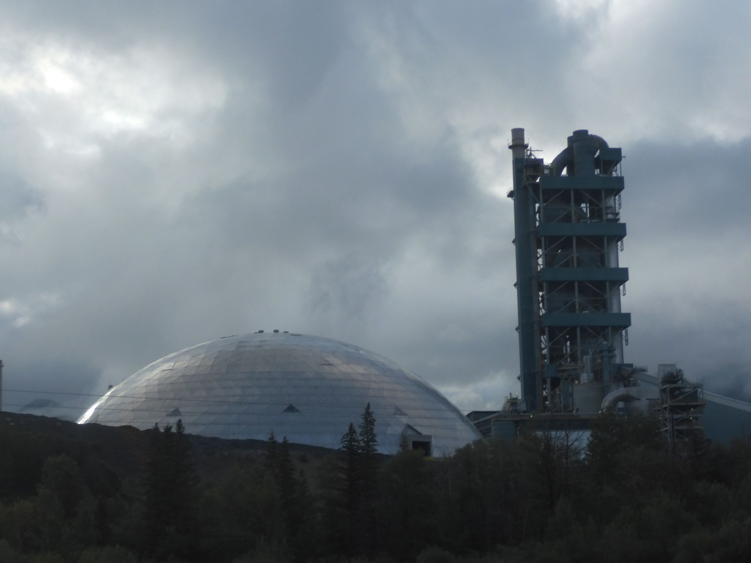
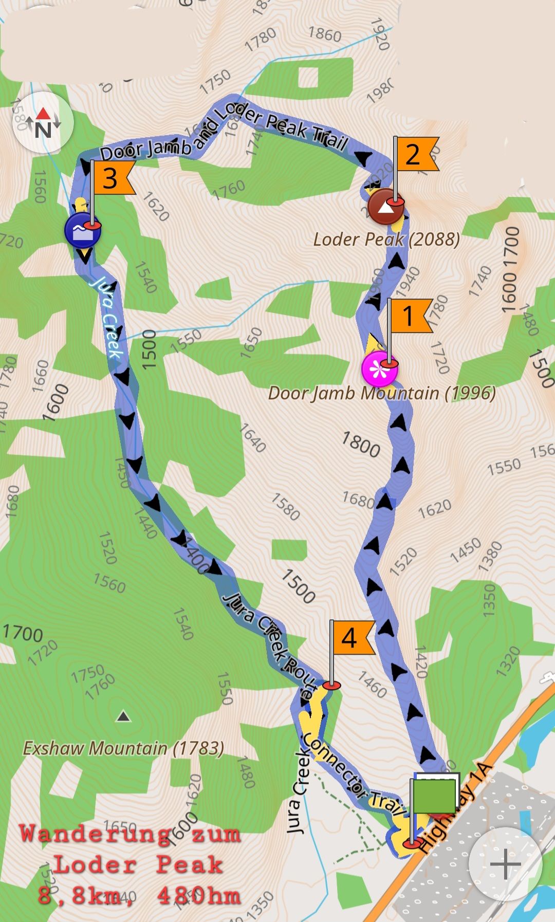
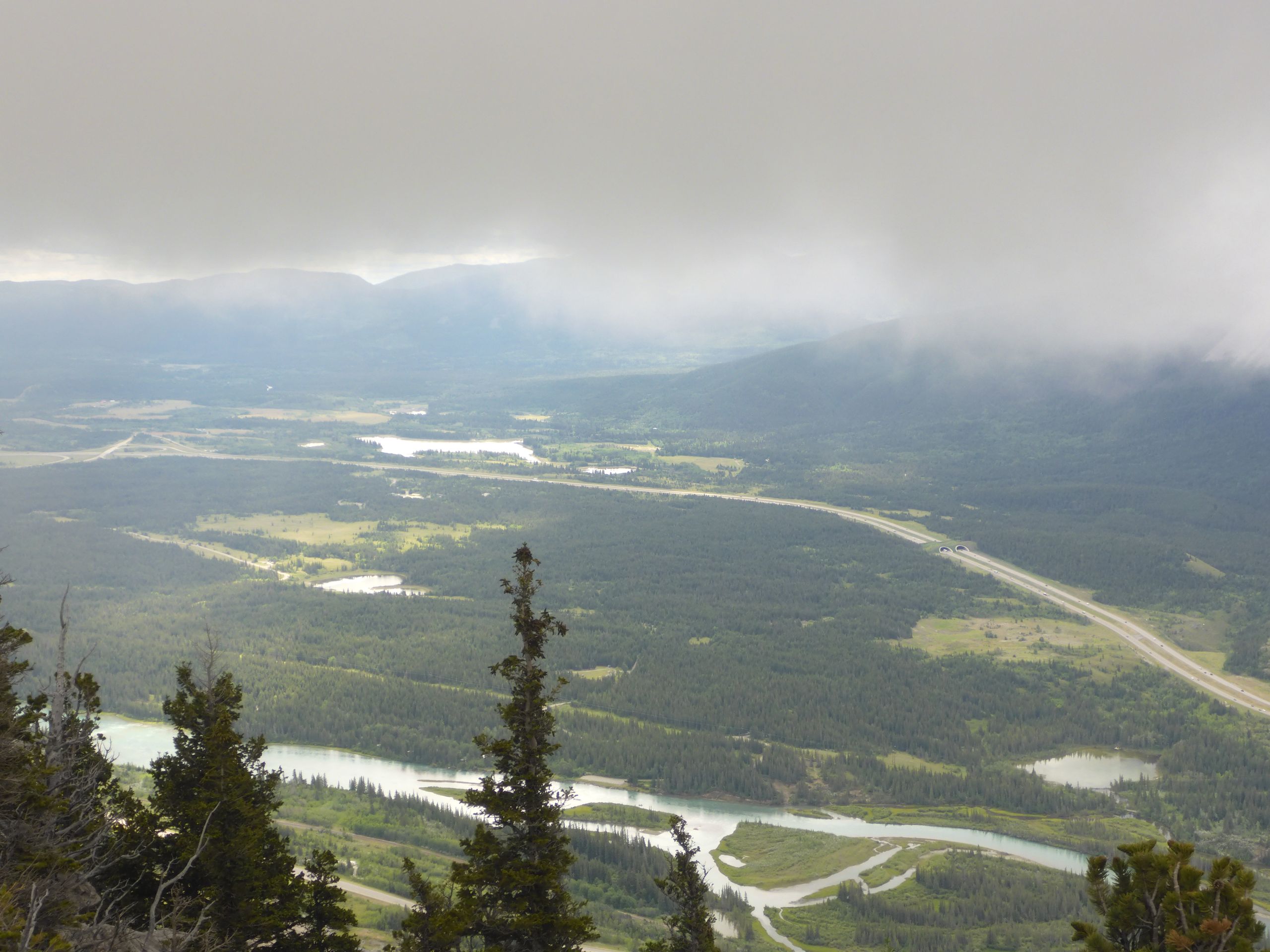
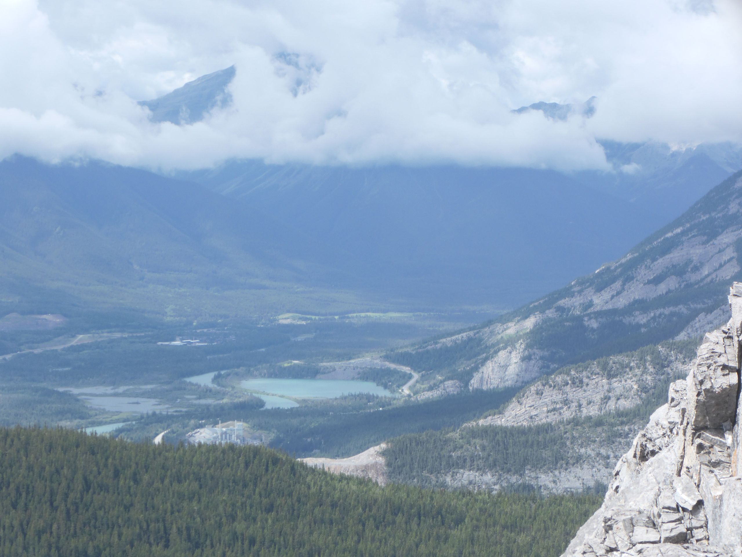
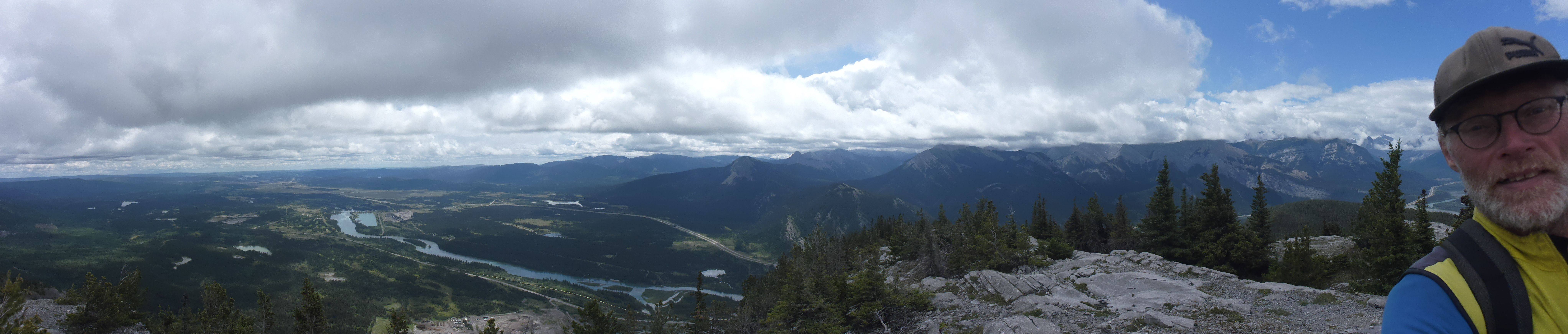
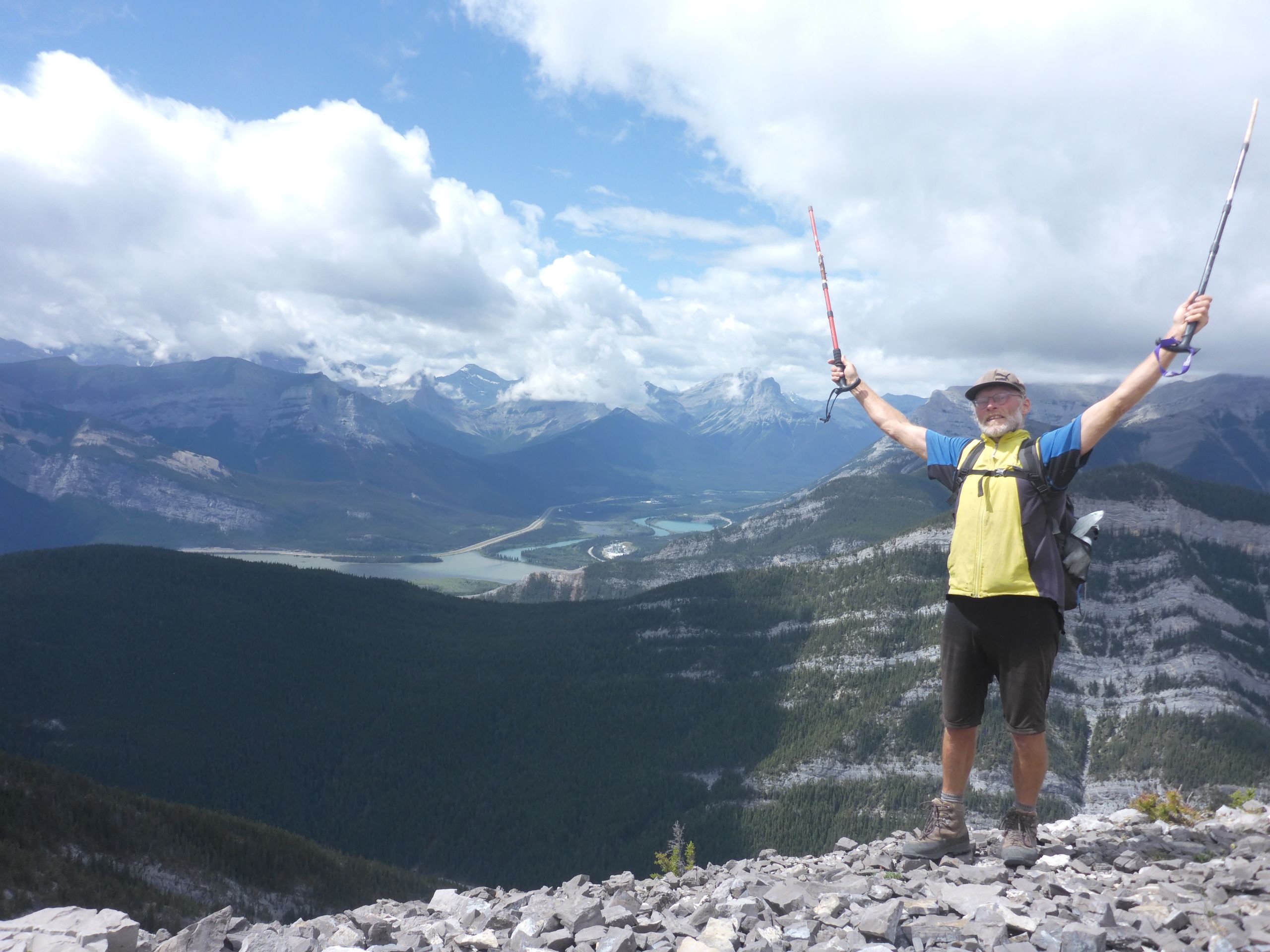
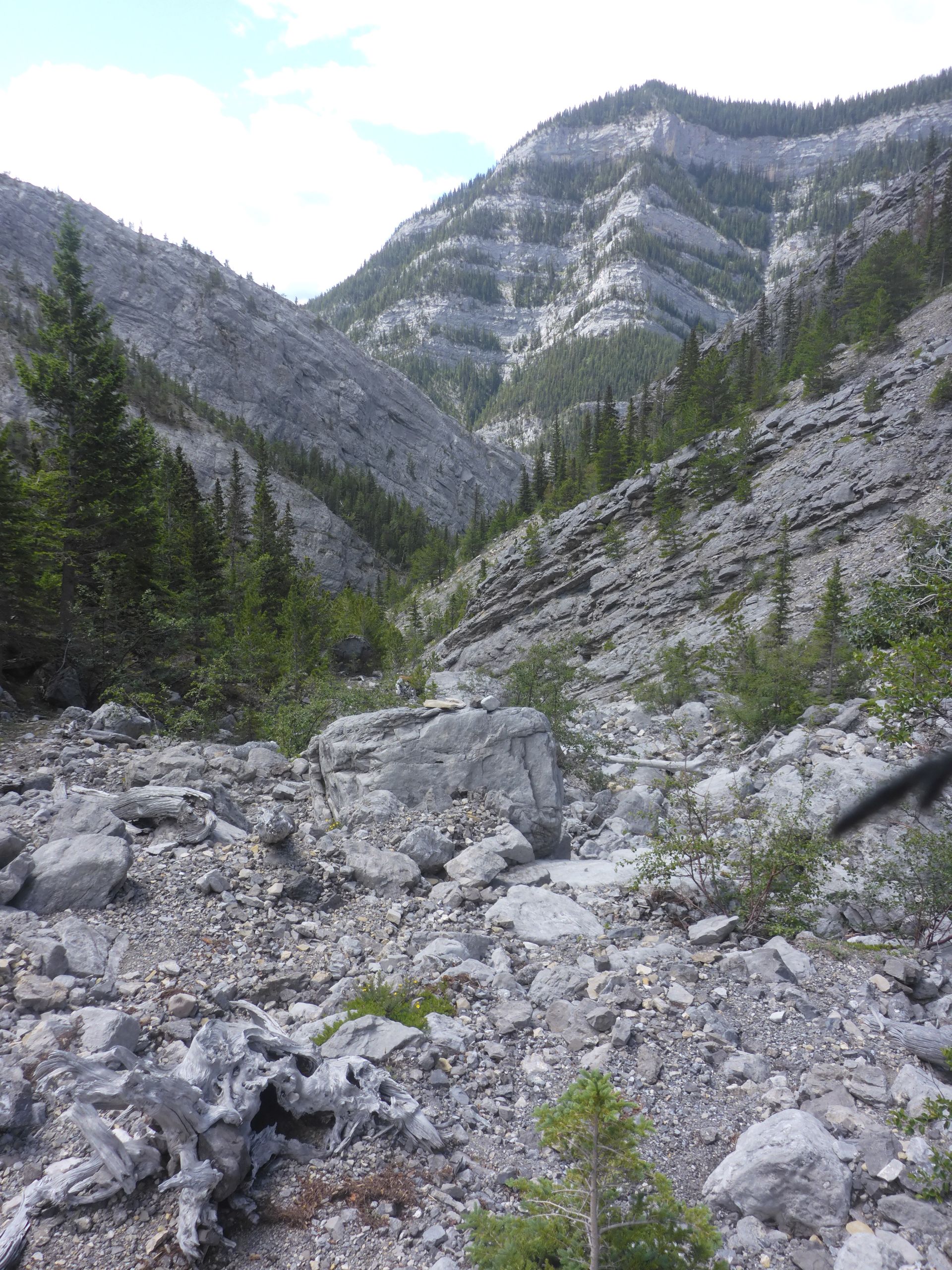
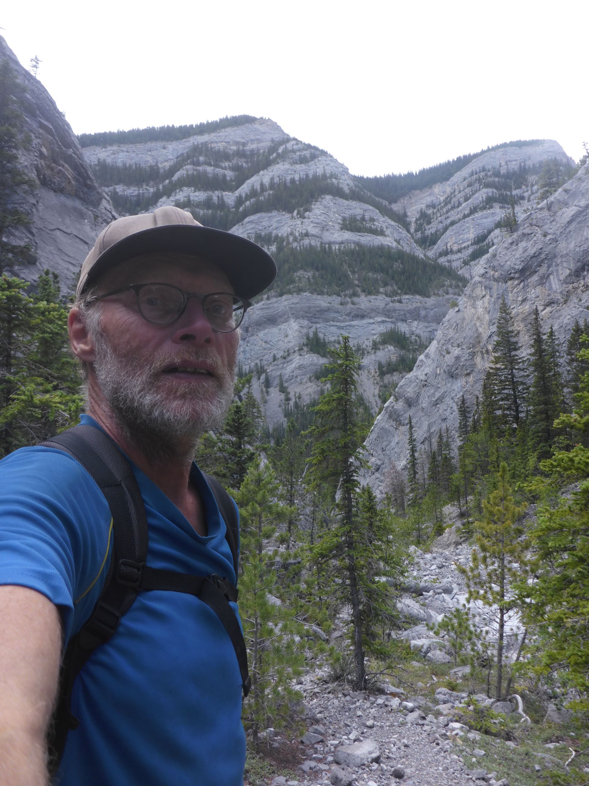
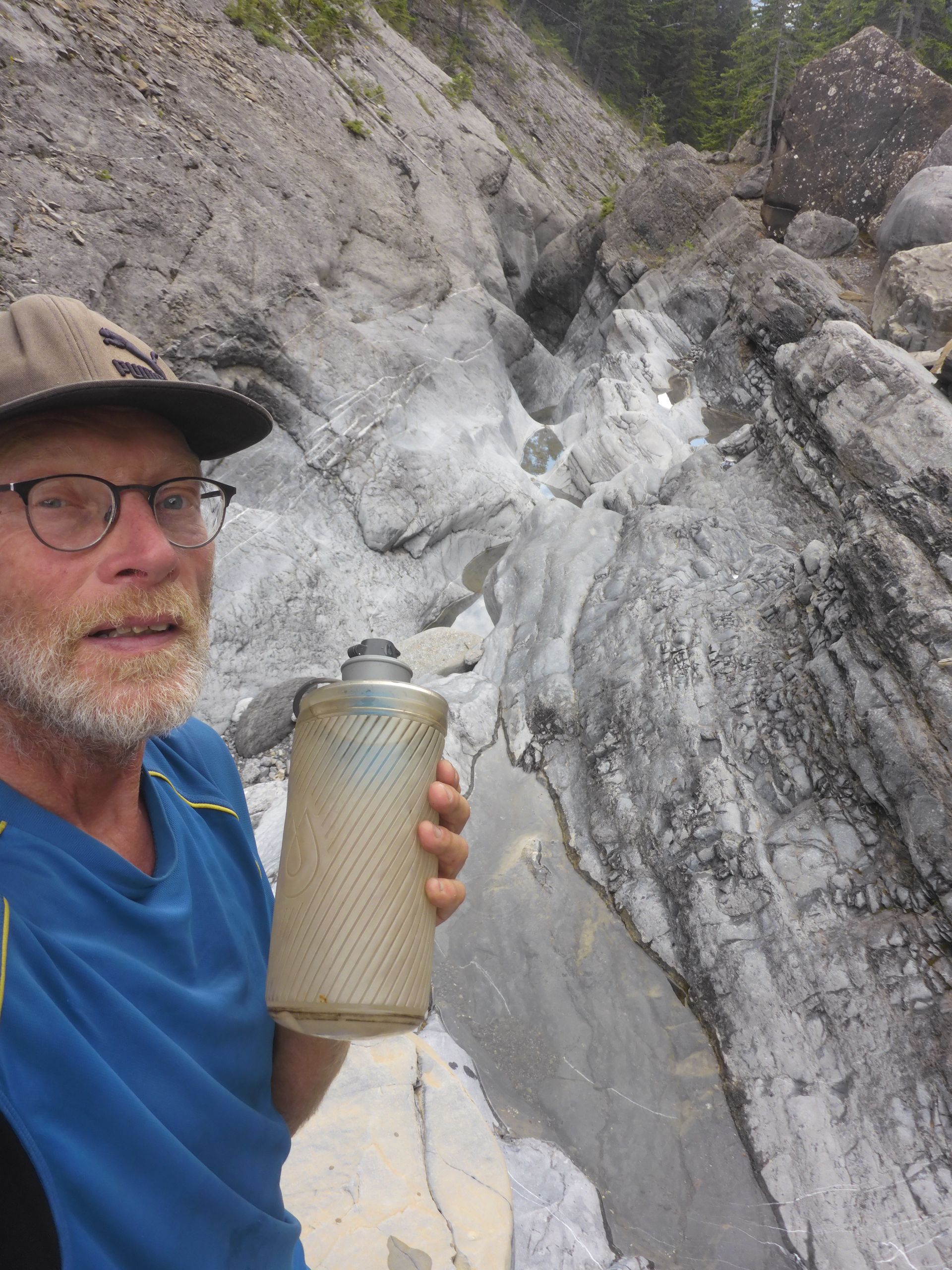
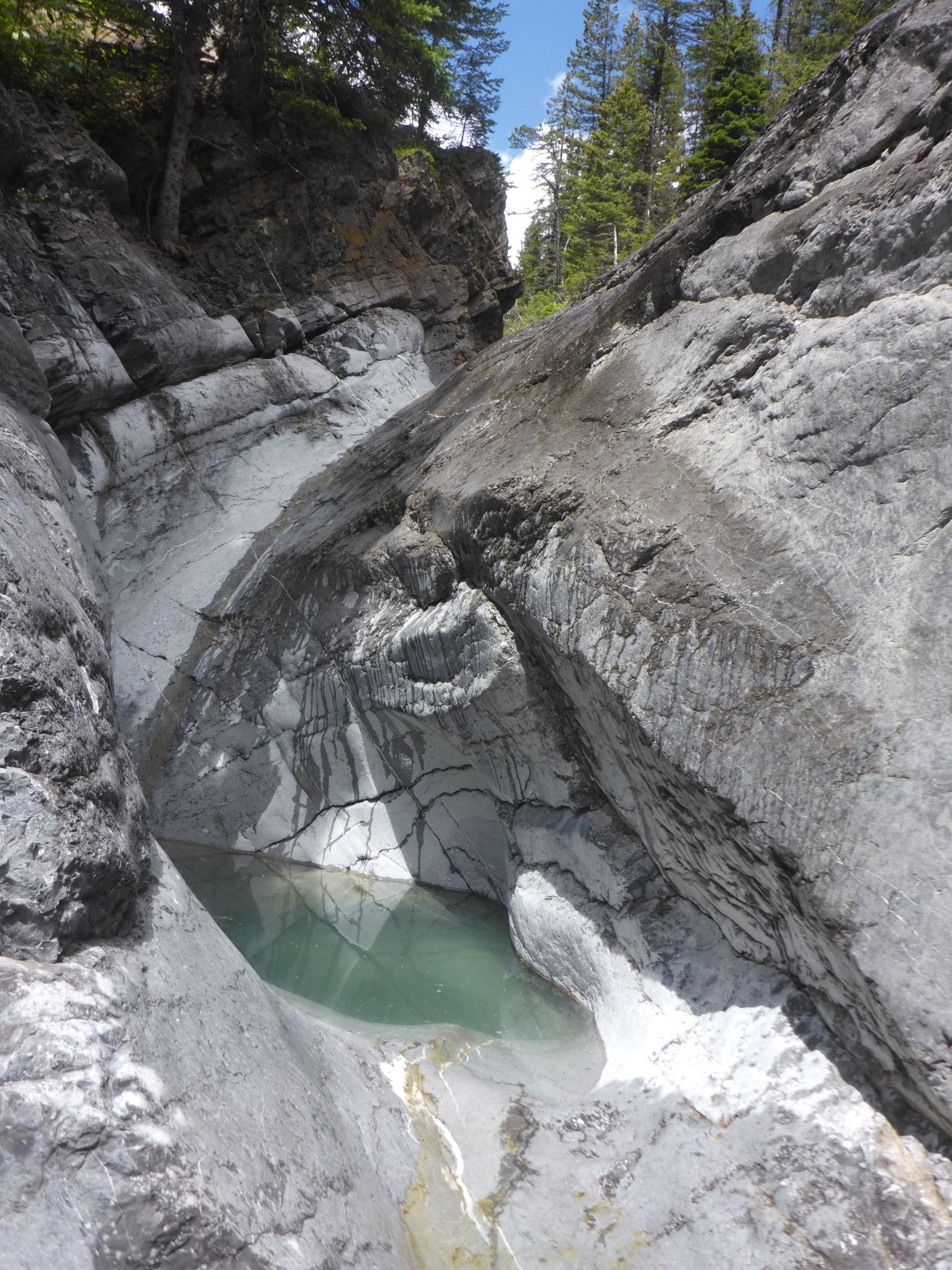
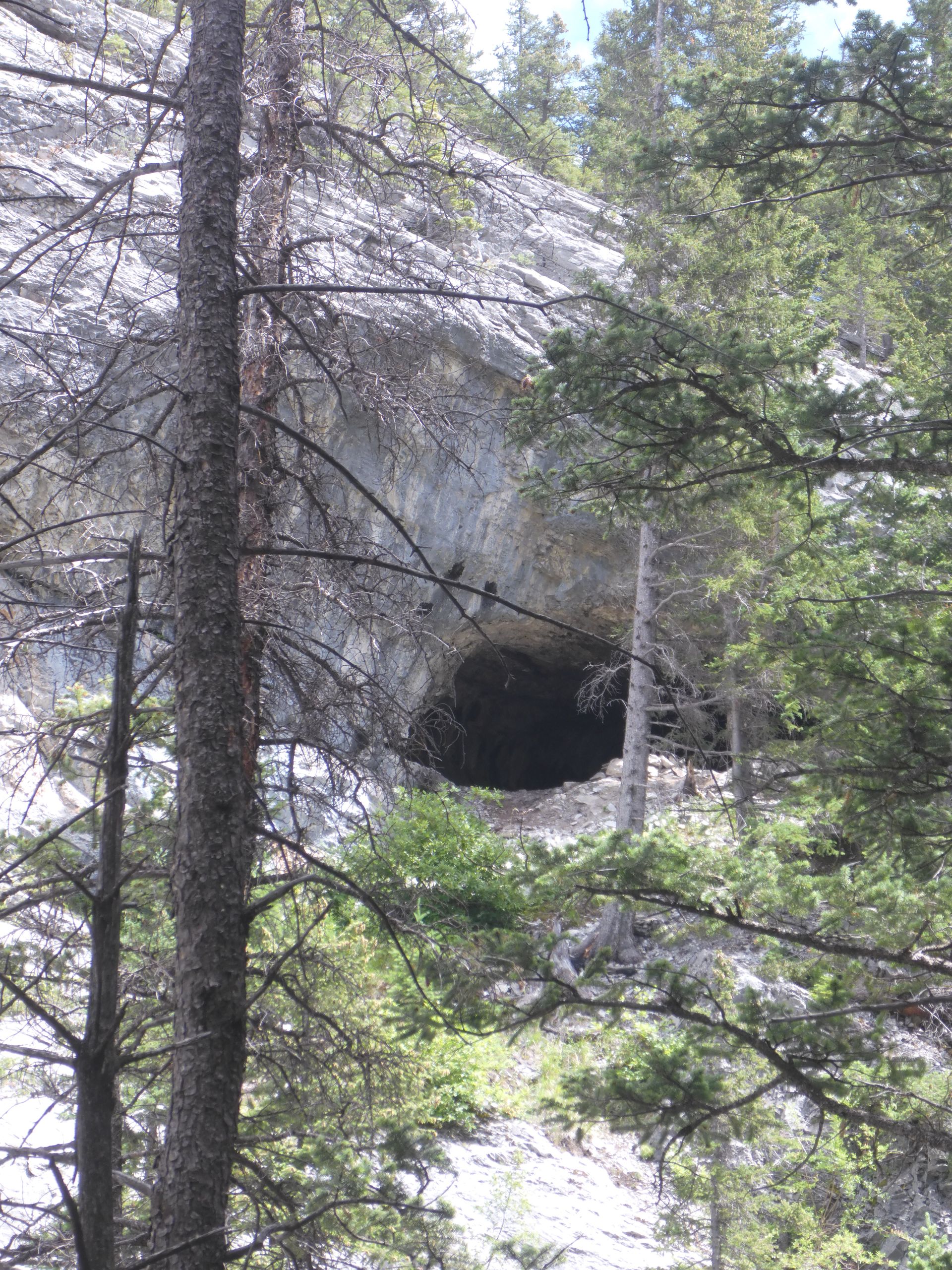
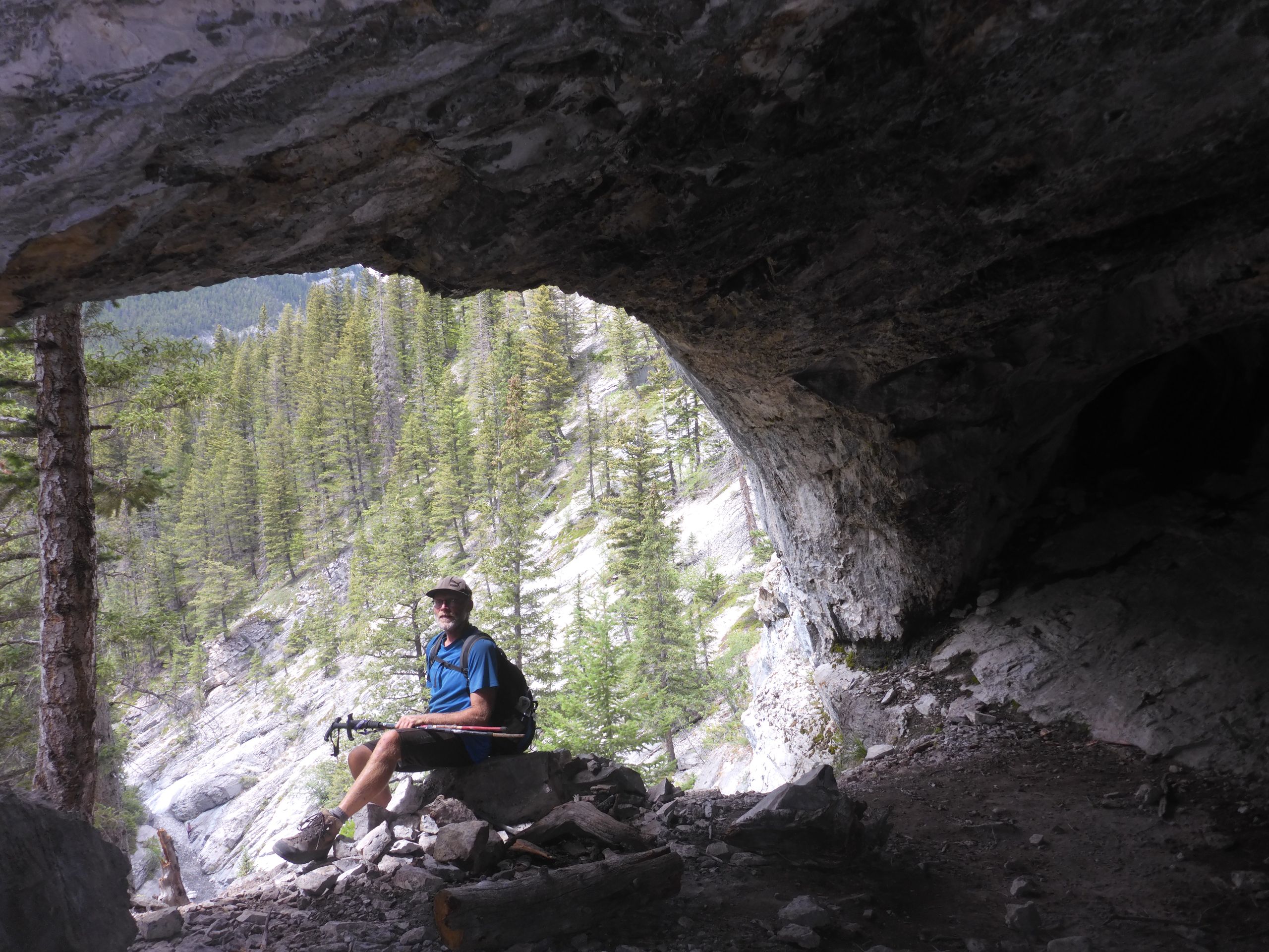
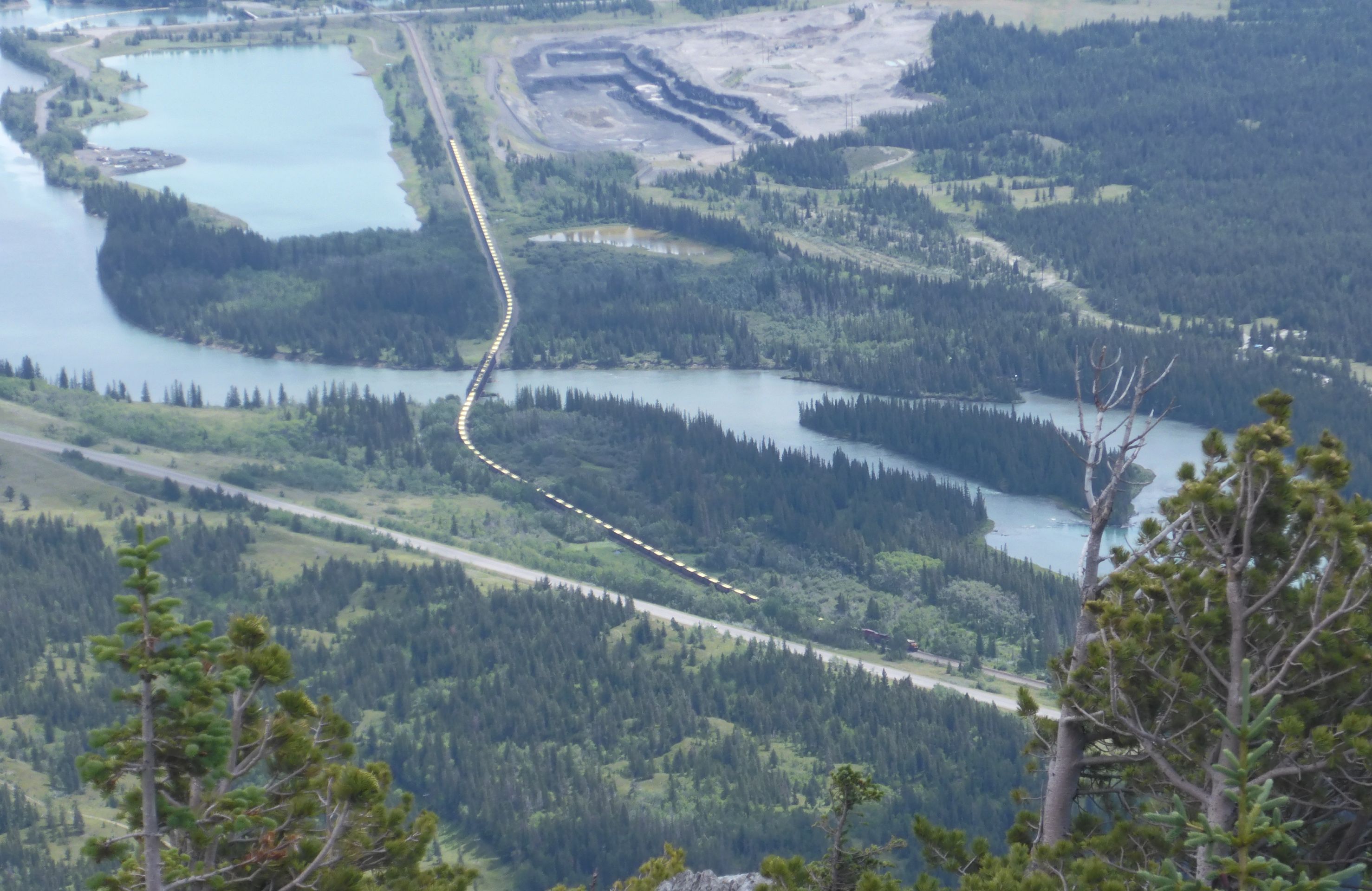
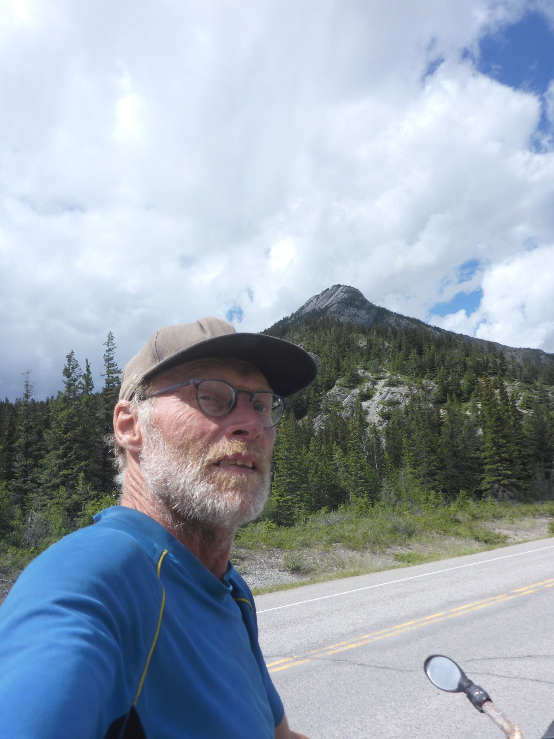
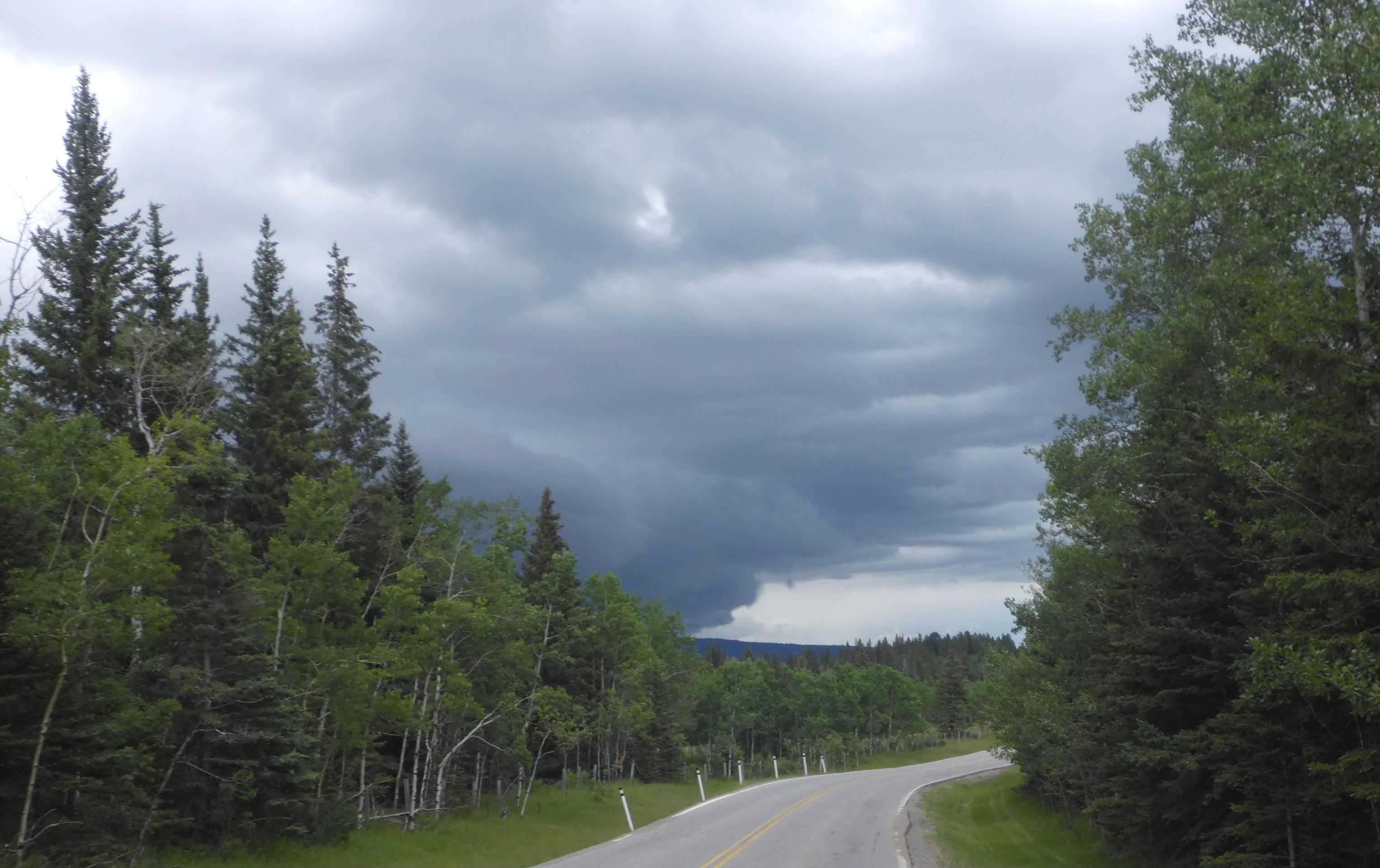
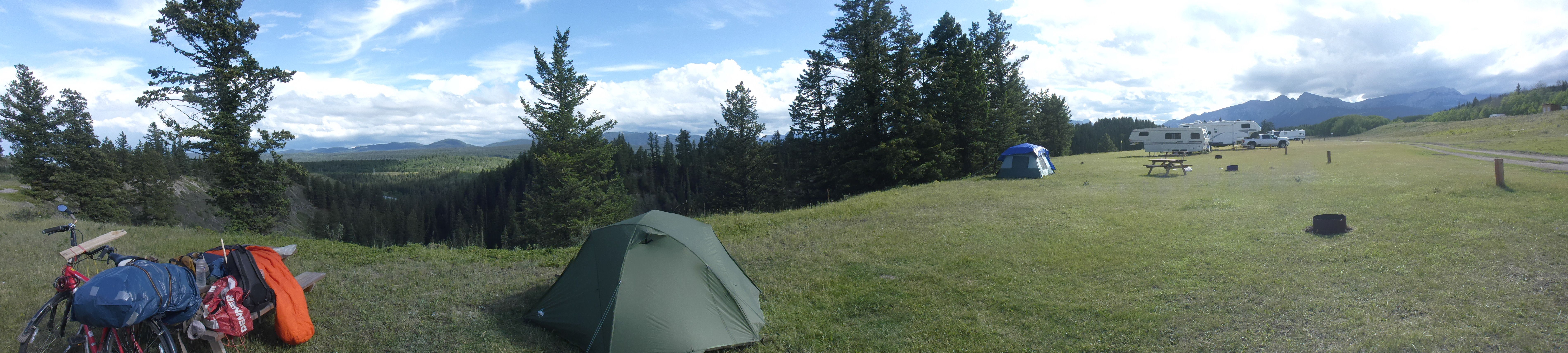
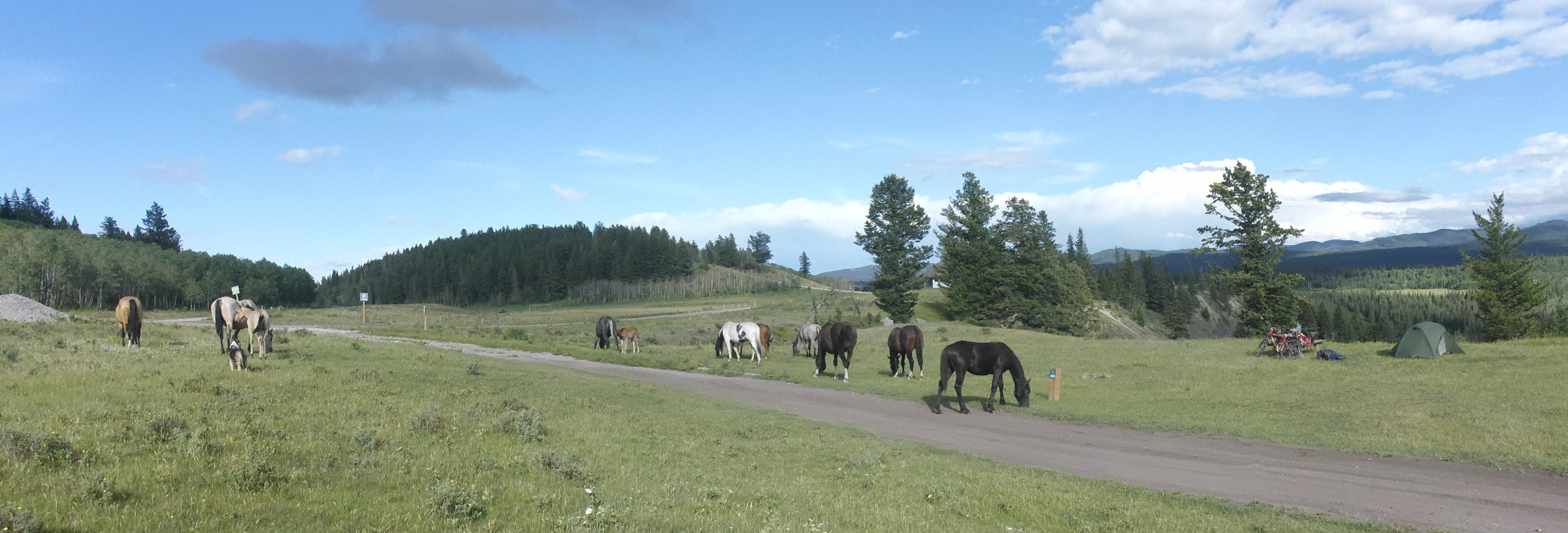
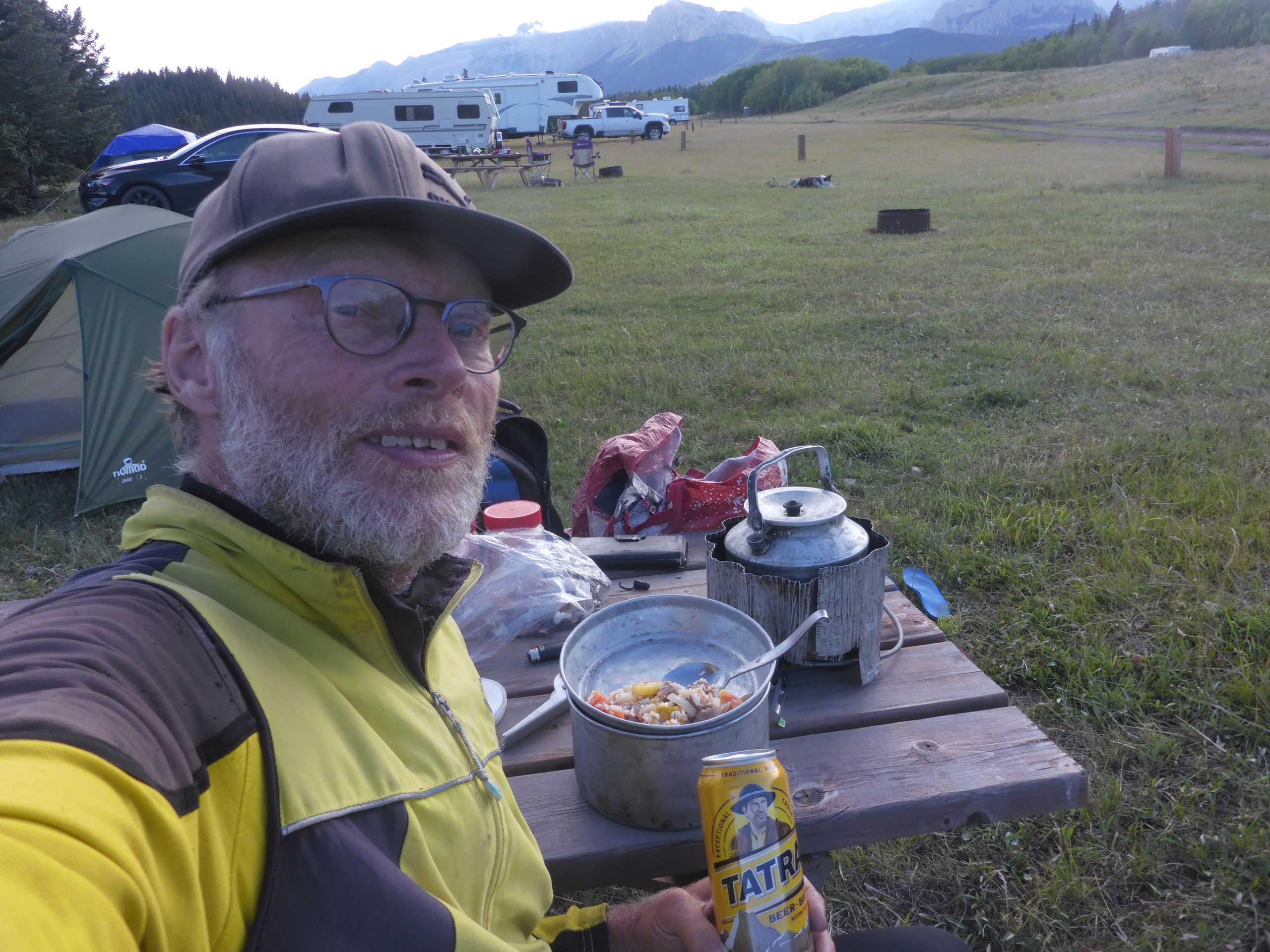
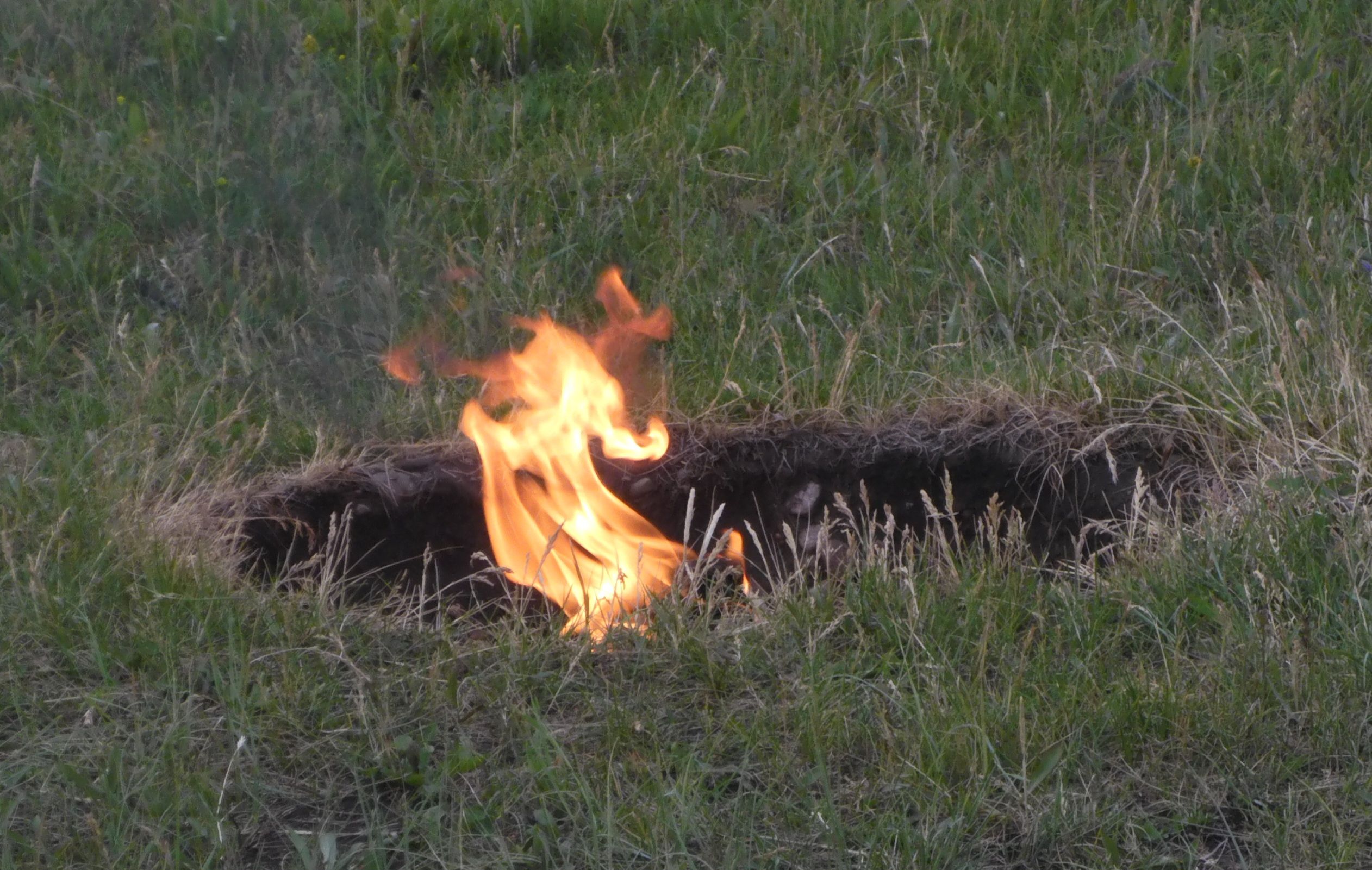
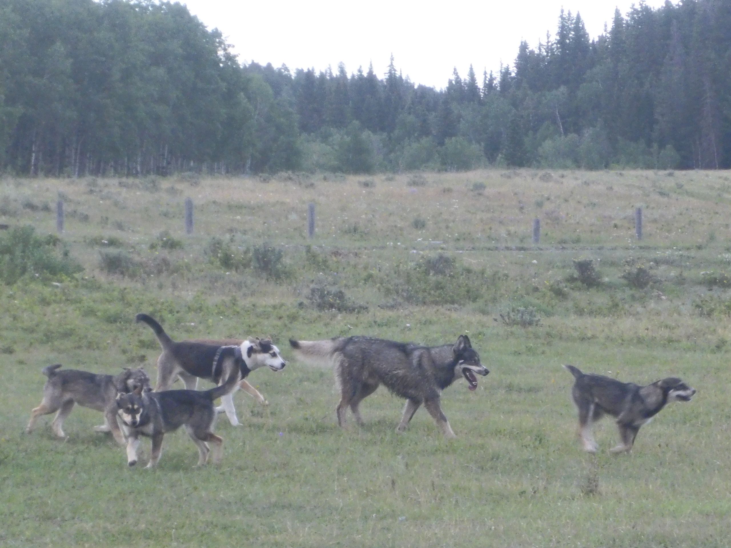
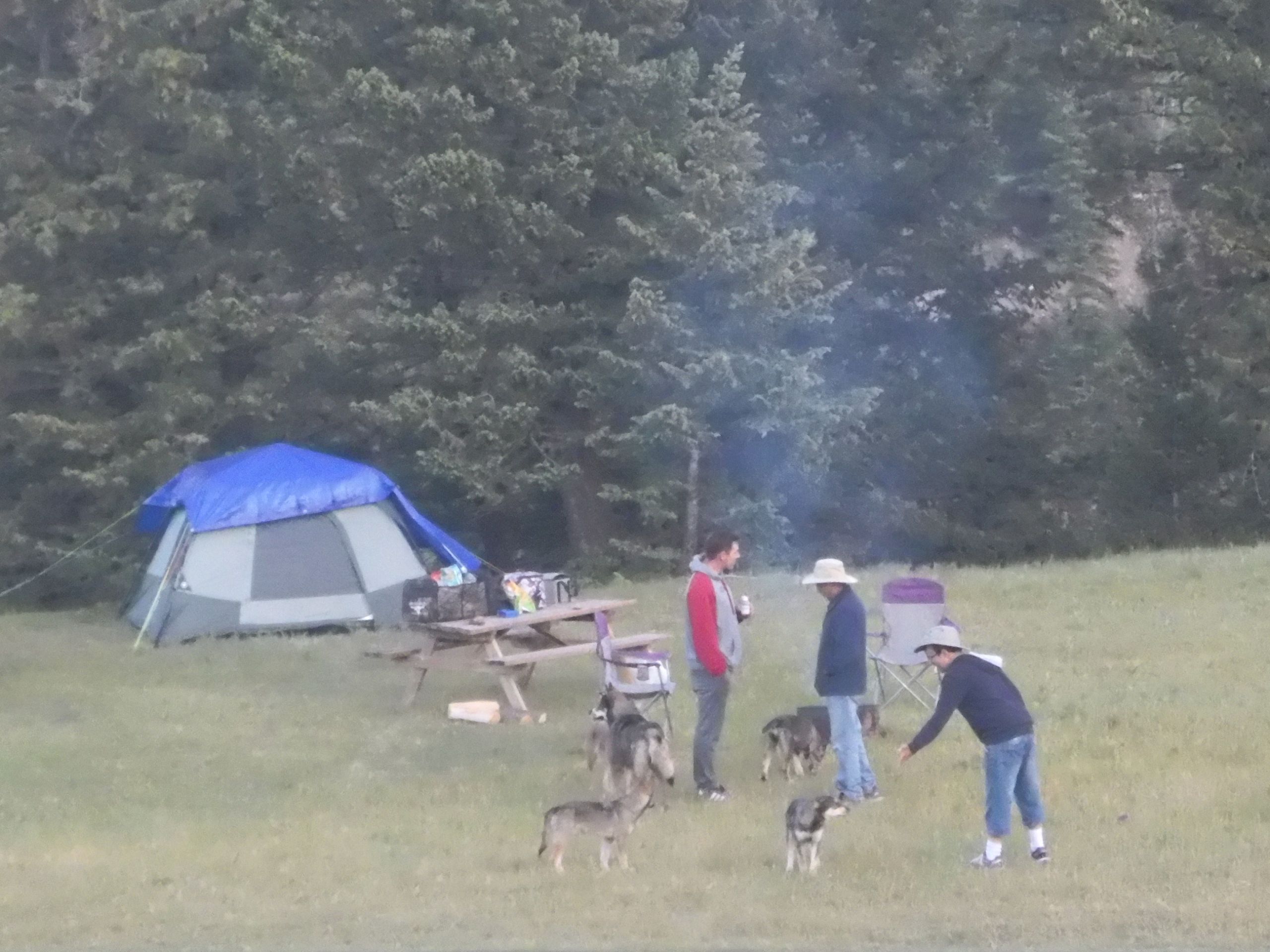
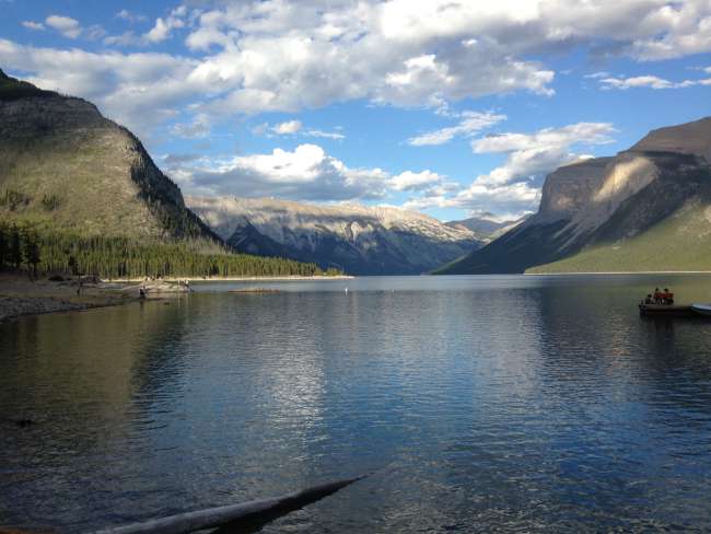
5.7.25 Lake Minnewanka->Canmore->Gap Lake. The tent is completely dry when I pack it up. I sit down for breakfast on the beach in the sun. In the first few meters on the narrow hiking trail, I still find it hard to keep the bicycle on track. I refill my water at the river. The next stretch is close to the shore over soft needle floor and easy to ride. After an hour, the steep section with rough gravel arrives. Here I need all my strength to push. At the lake, there are already many people. I find an empty picnic table and have a second breakfast. On the descent, only a few cars come towards me. Down below, I see that the access road is already closed. At Cascade Pont, there are many picnic tables. The smell of grilling is already in the air. The mountains are reflected in the smooth water. The bike path next to the highway is also well-traveled. Throughout my entire tour, I have not seen as many cyclists as I have here. At 1 PM, I reach the cozy Canmore. There are street vendors and a pedestrian zone and many galleries. At one of them, I first connect the power bank to an outdoor outlet before looking at the pictures. My mobile contract has expired, I use the free Wi-Fi and eat my muesli. In the sun, it is now hardly bearable, with a thunderstorm brewing. I ride to the supermarket and buy beer, and then I make sure to get under the dark clouds to the blue sky that is opening up in the east. I leave Canmore through a residential area and ride past quarries on the old highway. At Gap Lake, there are several picnic tables by the lakeshore. I decide to stay here, even though overnight camping is prohibited. First, I read, then I cook, and wait with setting up the tent until most of the guests have disappeared by around 9 PM. I pack the food from behind into the trash box. Hardly have I laid down in the tent when it starts to rain a little. I don't mind, as that keeps people away. 6.7.25 Gap Lake->Stoney Camp 25km, 130m ascent + hiking to Loder Peak 8.8km, 480m ascent. The night was warm, although it rained occasionally. The clouds still hang very low as I pass the huge quarries and their processing plants from Baymag. I park my bike in a parking lot at the restroom. Since I still have food on the bike, I consider if it would be better to put it in the restroom. I pack the food in a separate plastic bag and start the hike under the power lines. Throughout the ascent, I can hear the noise of the factory and the roar of the highway. At the first rise under the clouds, I take a break in the sun. A couple overtakes me. As I continue to climb, there are again various trails. I walk below the rock face at the edge of the forest, only to find out that I should have gone over the ridge. I climb up the rock face. It is quite grip-friendly, but also very steep. There are hooks for rope safety here, but they are of no use to me without a rope. Most of the time, I find good grips to hold onto; still, I’m glad when I reach the ridge and can stand securely again. I take another break and the couple is already coming towards me on their descent. A brief shower falls and I crouch under a pine tree. Then I reach the overlook at Door Jump Mountain, 1996m. I didn’t bring enough water, and there wasn’t a stream the entire mountain. After a short break, I continue on to Loder Peak, 2088m. I have lunch and see a rain cloud approaching. So, I start the descent on the other side. The beginning of the path is not easy to find and then follows a small dry streambed. It is very steep. The next stream I encounter is also dry. Only in the main valley are there some depressions with water on washed-out rocks. Here I can refill my filter bottle. The path leads directly through the riverbed and is currently dry. After a strong shower, one couldn’t walk here at all. Further down, a stream flows again. I bypass the narrowest point through a forest but take another look into the gorge from below and then climb back up to the cave. Now I make sure to return to the bike and ride for at least one or two hours, so it's not too much for tomorrow. The HW 1a surprisingly climbs steadily. Behind the turnoff to Stoney Camp, I see very dark rain clouds. I observe them for a while and then decide to head to the campsite. Over a wide gravel path, it’s a kilometer to a large meadow directly at a cliff edge above the river valley. It belongs to the First Nation reservation. When I set up the tent, it’s very windy, and I have to be careful that nothing blows away. Then the sun comes out again, and the wind dies down, making it pleasantly warm. I can air out my shoes before I pack them back into the backpack. While I’m cooking, horses come across the campsite followed by dogs. Today I also want to empty the fuel bottle and make myself another coffee. Since the bottle is still not empty, I burn the rest at my fire pit. The neighbors come back in their car, and a man with a cowboy hat and mentally disabled son starts a conversation with them. Is he one of the Stone Indians? I join them, and learn that he is just a visitor too. But he can tell me quite a bit about how Canadians deal with the First Nation. It’s not a good story. For two dollars, I use the warm shower and crawl into my tent. At 2 AM, I am awoken by a passing train and can’t fall back asleep. Maybe I shouldn’t have had that coffee after all.
At a glance
Automatically extracted from the post
Length of time
3 Days
Weather
Summer
Accompaniment
With friends
Mood
AdventurousThriftyOff the beaten track
Highlights
Rückflug in Calgary verpasst und neuen Flug gebucht
Festivalfrühstück in der Innenstadt
Besuch der Esker Gallery
Transfer über Newark, Manhattan und Jamaica Station nach JFK
Equipment
RennradRucksackBuchKarten/OSM-Downloads
Topics
CityCultureEatTransitRoad trip
Cost
Taxi zum Flughafen Calgary$37
Neuer Flug laut Schalter$800
Neuer Flug laut Skyscanner€480
Taxi in New York$13
U-Bahn/Fahrkarte in New York$5
Skytrain in New York$5
weitergutpfadLike a newsletter: every new post arrives via email.