9.11.2016 Tongariro Alpine Crossing
Published: 01.12.2016
Subscribe to Newsletter
The alarm clock rang at a quarter to five in the morning. No one likes to get up voluntarily at this time, and so did we. The night before, we had already packed our breakfast and lunch for the hike, so all we had to do was pack everything into our backpacks and leave at a quarter past five sharp.
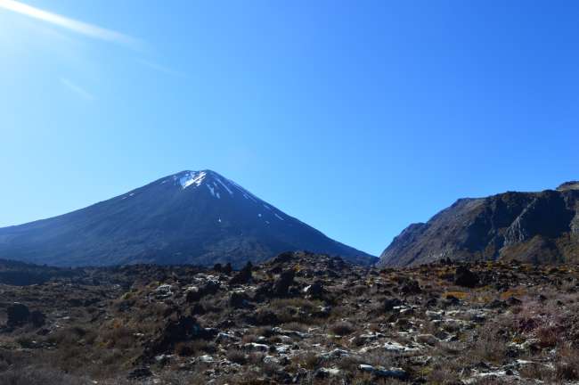
Our plan for the day was the Tongariro Alpine Crossing, a hike that was considered one of the nine most beautiful and significant hikes in New Zealand, known as the Great Walks.
We drove for about an hour until we reached Tongariro National Park and the starting point of the hike. I let Lena and Jasmin get out and drove the car to the endpoint of the 19.4 km long hike. There, I parked the car and took a shuttle for 30$ (we split the cost by 3) back to the starting point. The idea behind this was that we didn't all have to take a shuttle at the end of the hike to the starting point where our car would have been.
Gilly had reserved a seat for me in the shuttle the day before, but she didn't tell me the name of the shuttle company. She only told me that the shuttle would leave at 7:30 and that I couldn't miss it. Unfortunately, there were about a hundred small and large buses, so I asked every driver if they had my name on their list.
When I finally found my bus, I was given a map and I drove back to the starting point with other hiking enthusiasts, with a small delay. Jasmin and Lena were waiting for me there.
The 19.4 km were divided into 8 sections.
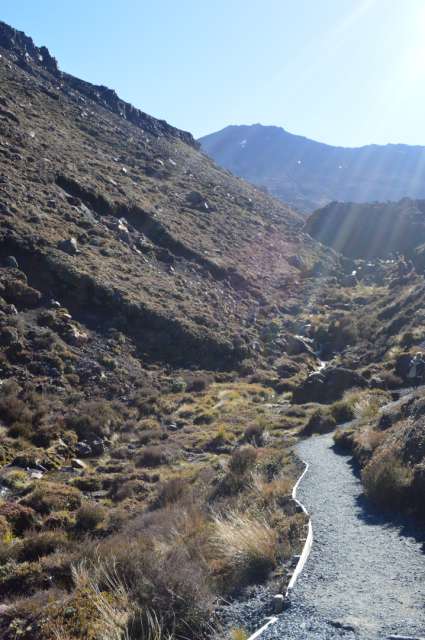
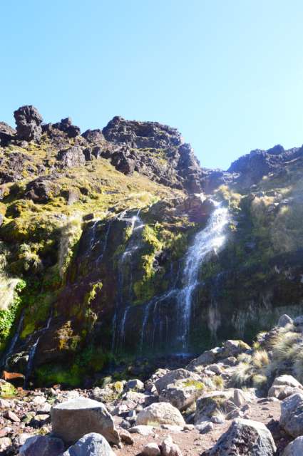
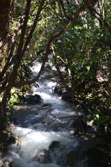
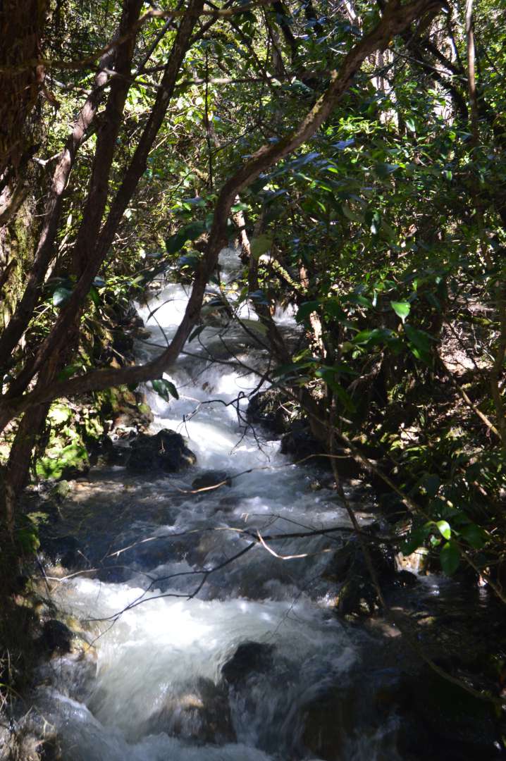
The first kilometers, or the first hour, were called the 'Easy walk'. It led from the starting point to the Soda Springs. Most of the time, it was a flat walk without much incline. We walked along a small river that originated from the Soda Springs.


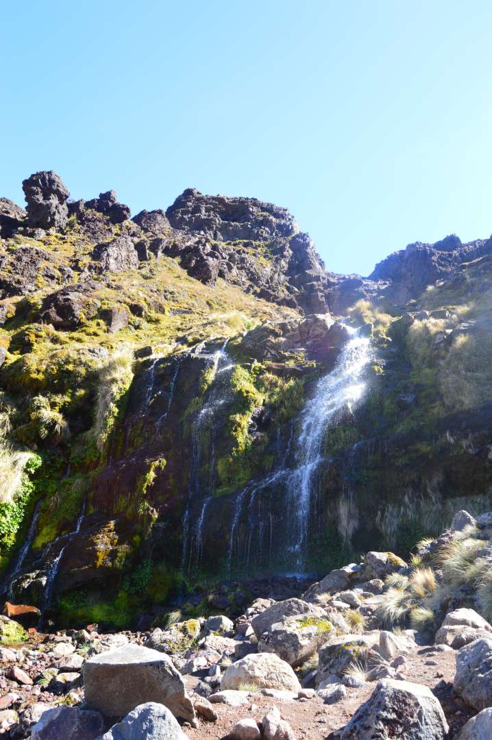
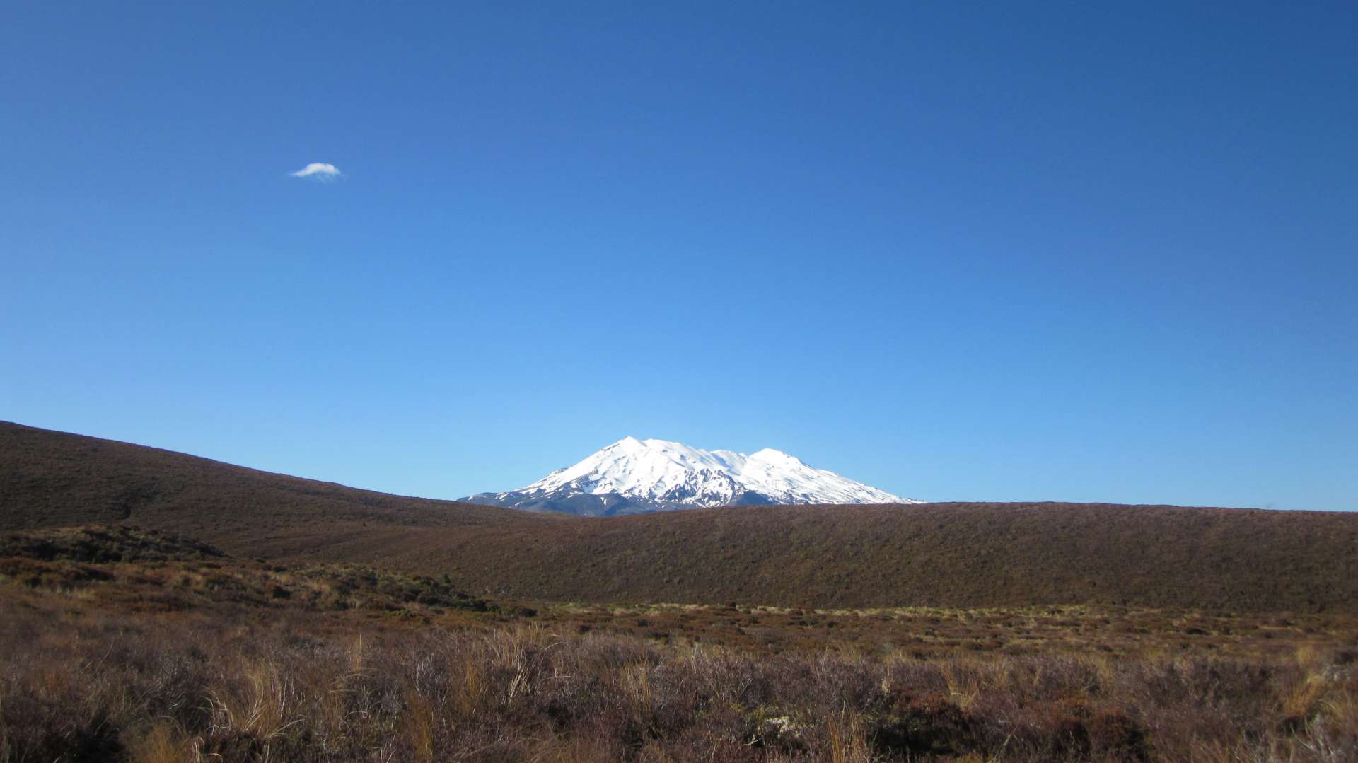
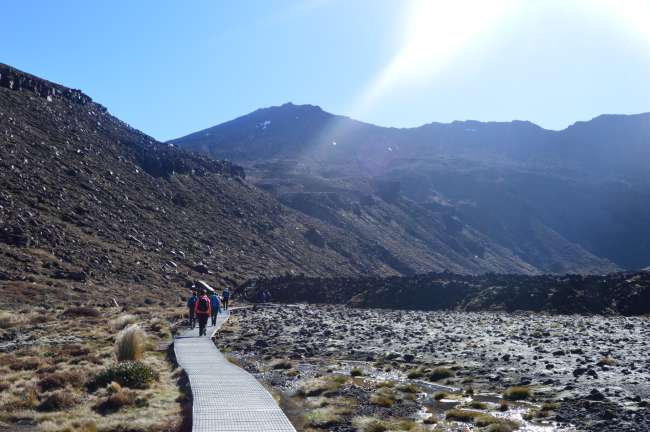
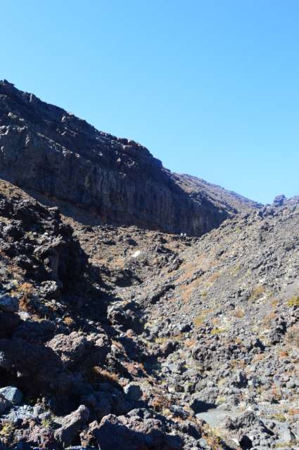
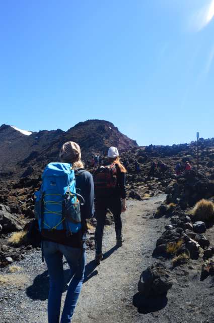
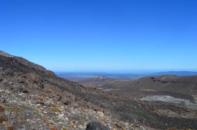
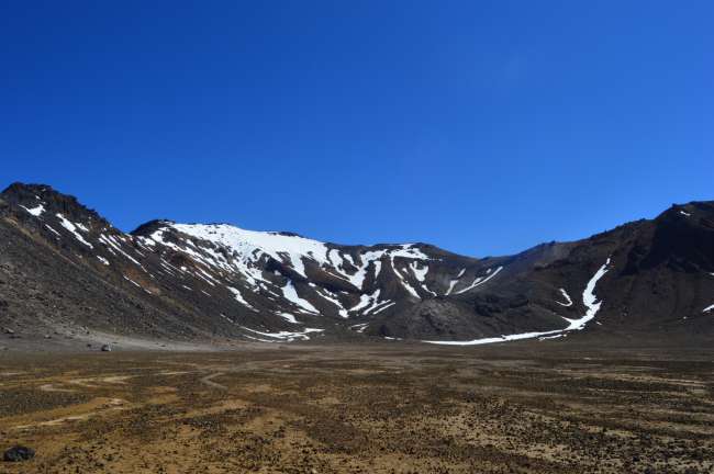
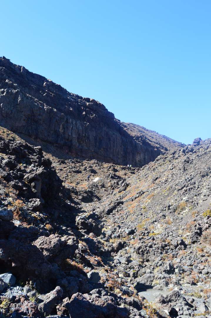
The next hour was spent on the second section, the 'Hard Ascent', which truly deserved its name. It was a steep uphill climb for an hour. But the higher we got, the more beautiful the view became.
The path led from the Soda Springs to the South Crater.
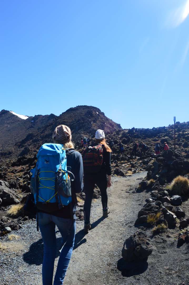
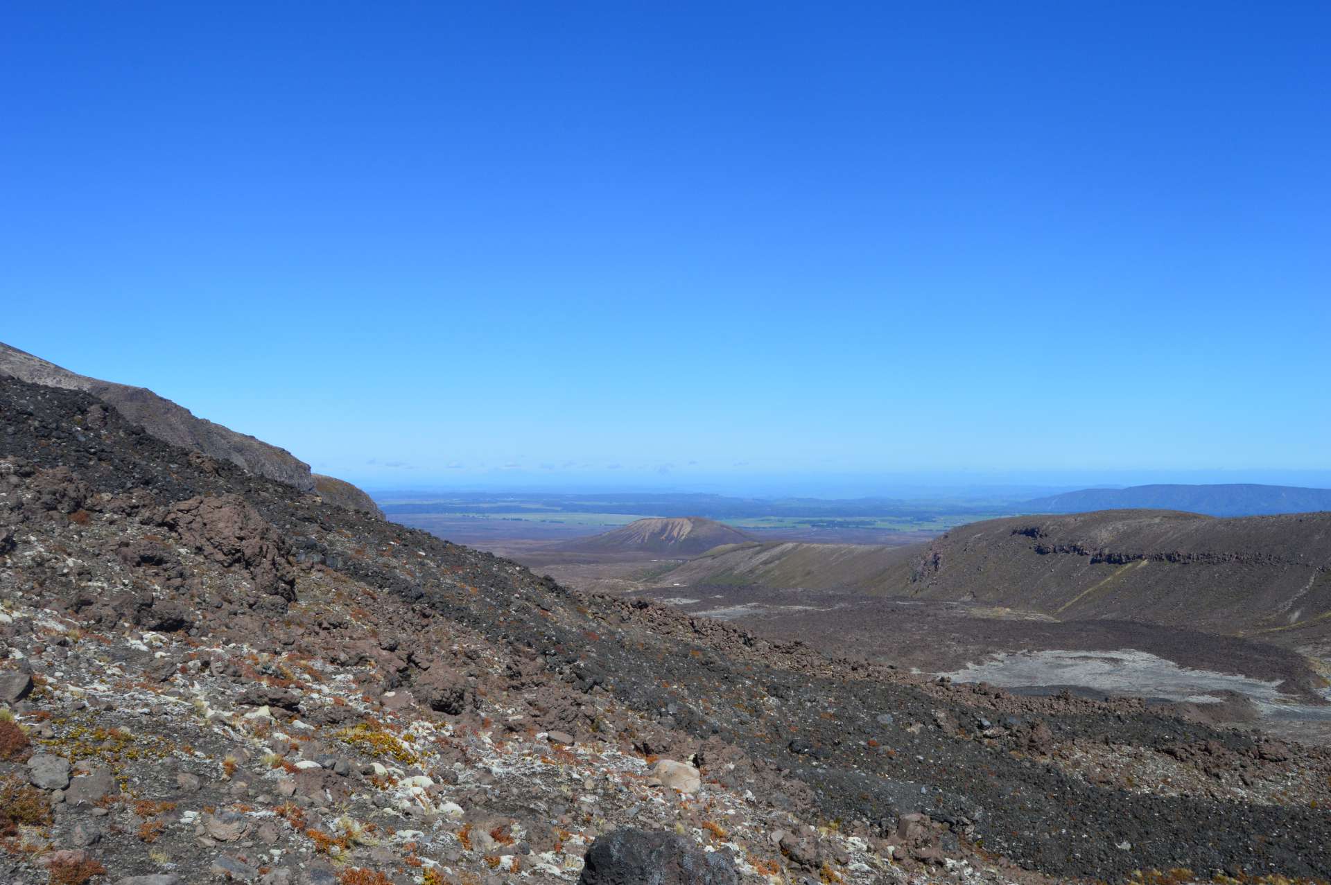
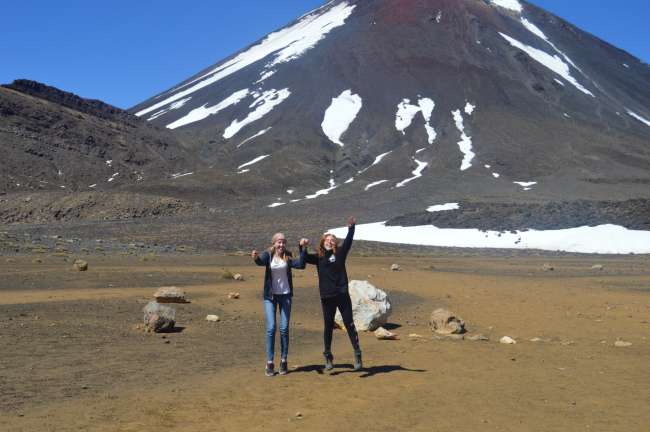
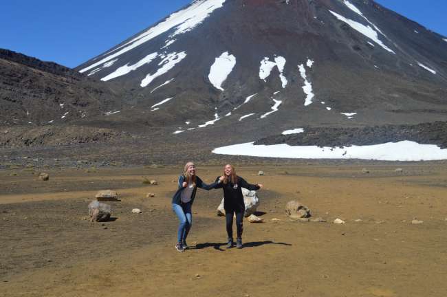
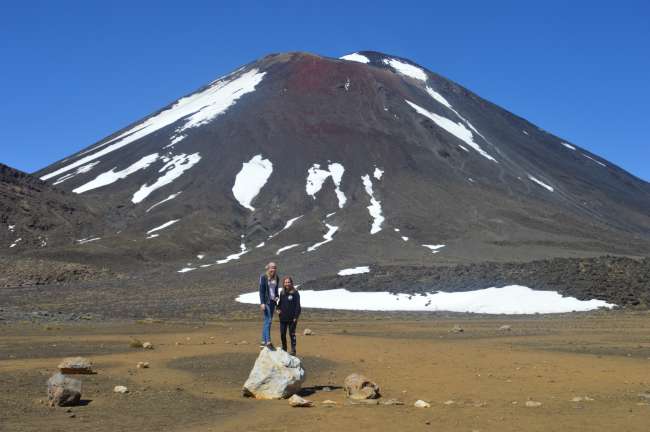
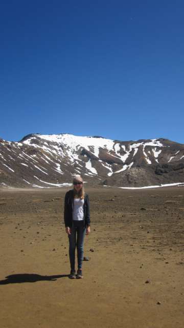
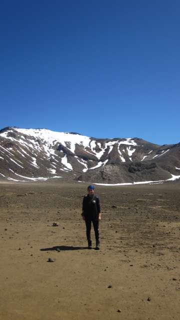
When we arrived at the South Crater, it became flat again, which is why the third section was called the 'Easy Walk'. However, this section only lasted for 10 minutes. It took us a bit longer because we took the time to take some souvenir photos. (We tried to take a jumping photo, but it didn't quite work out)
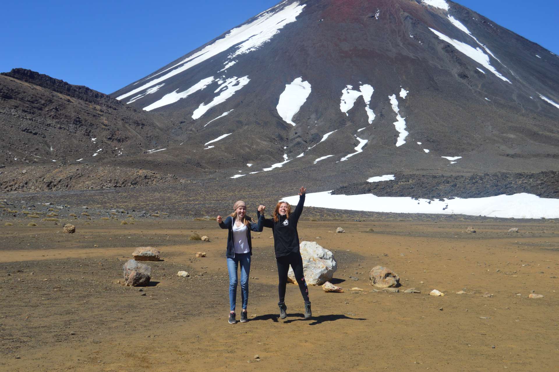
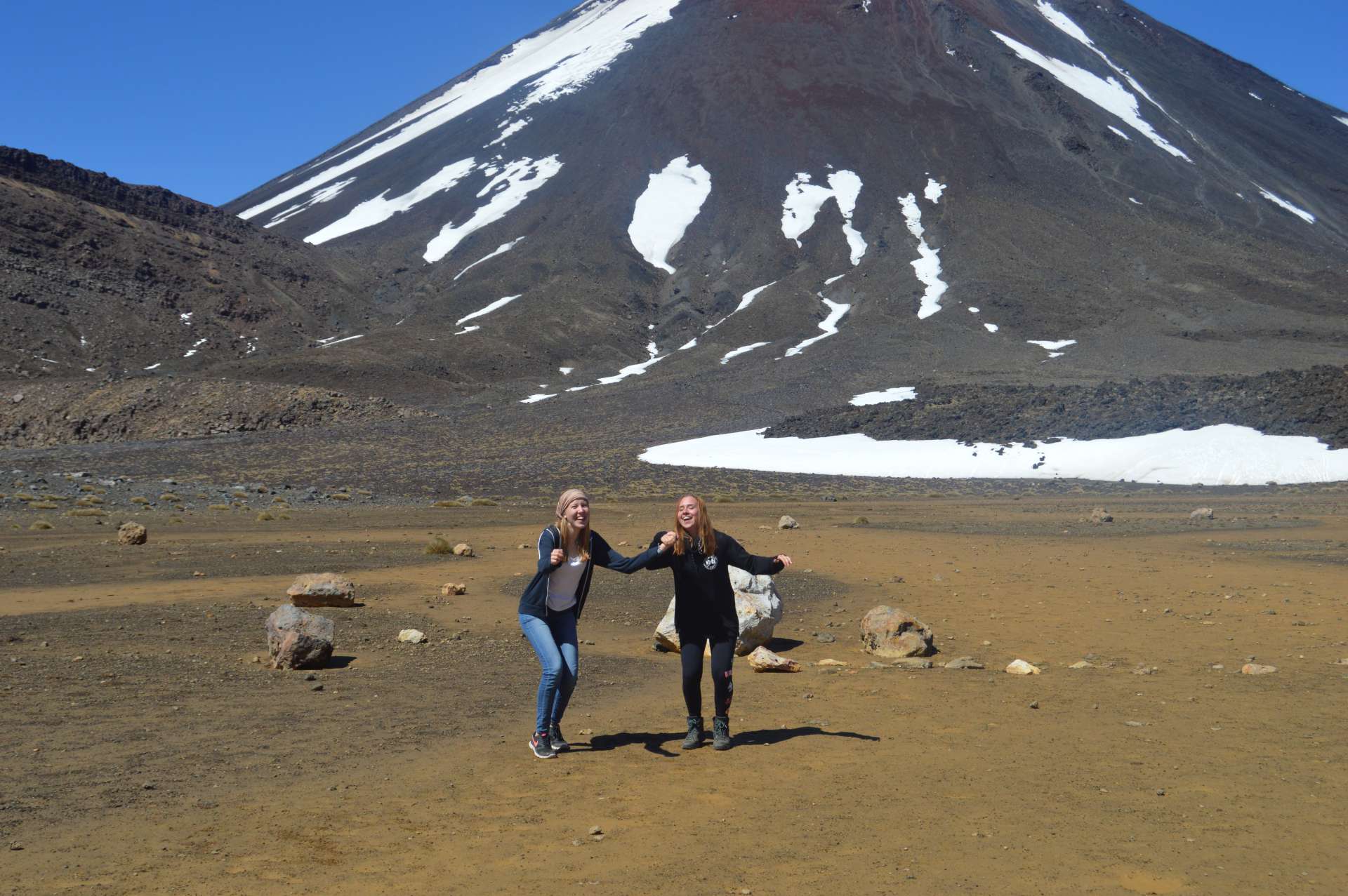
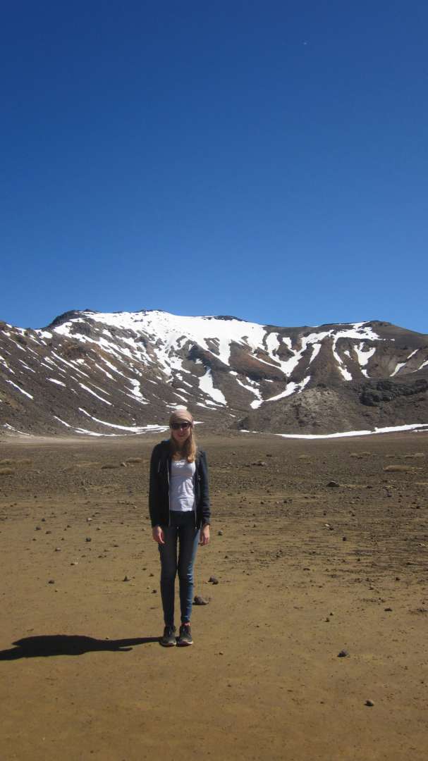
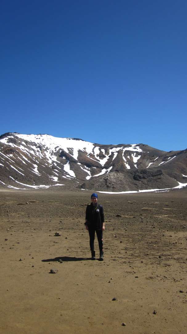
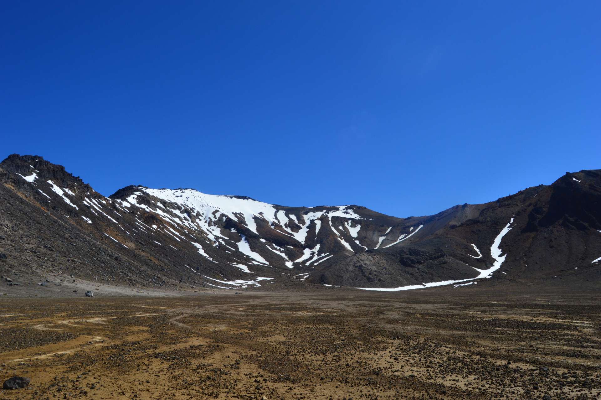
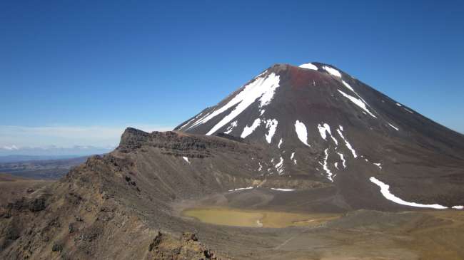
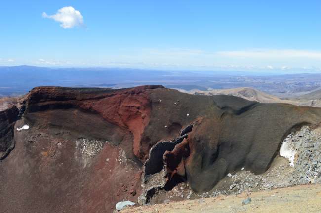
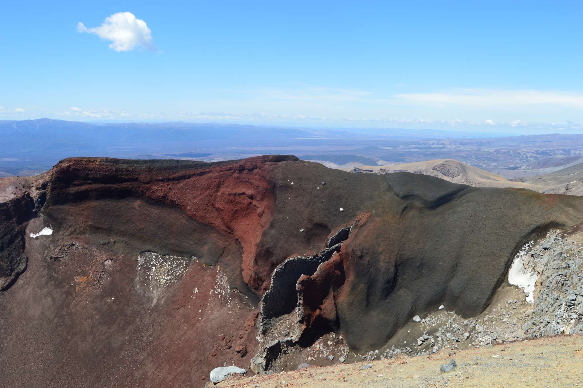
After the little photoshoot, we moved on to the fourth section. This 'Difficult Ascent' once again challenged our thigh muscles and took us to the Red Crater. Once we reached the top, we took a lunch break.
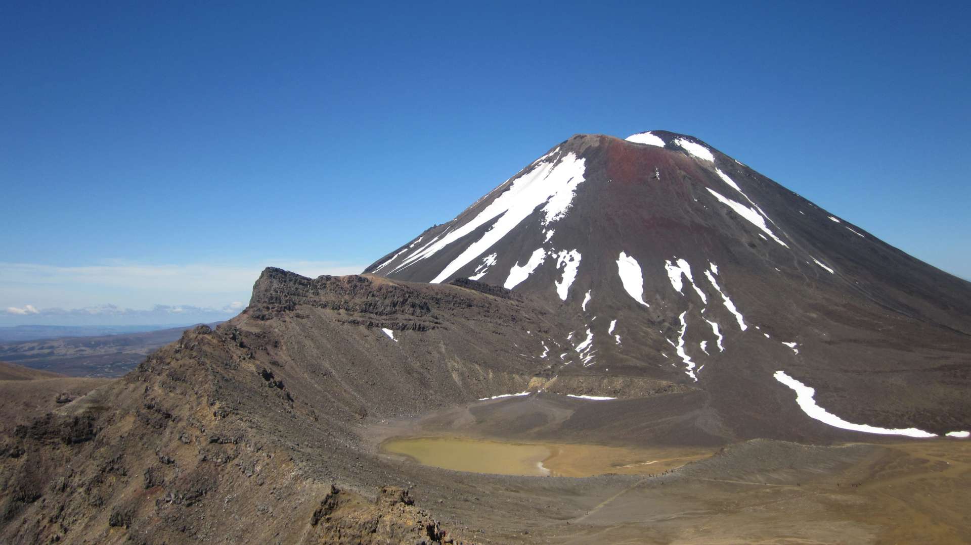
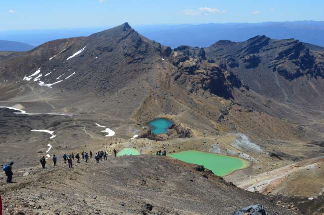
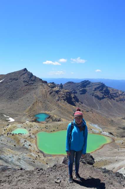
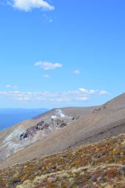
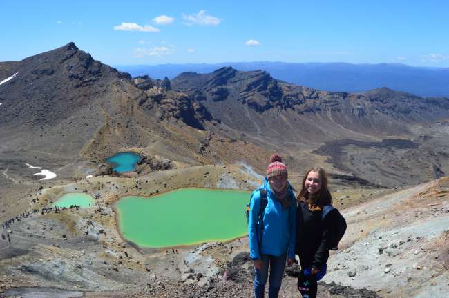
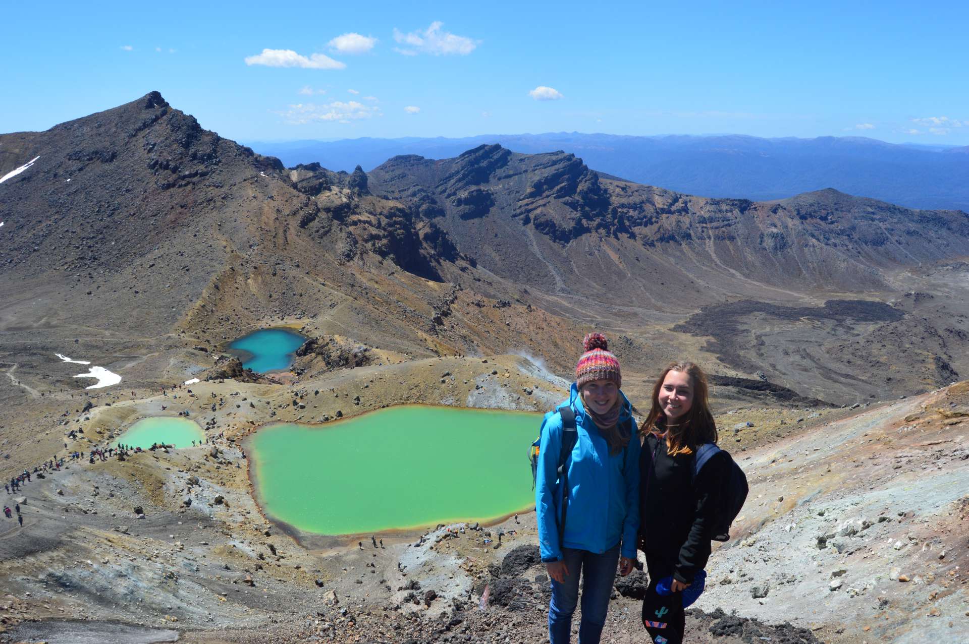
The next section took us to the Emerald Lakes, which were surprisingly beautiful but also had a slippery descent that made us laugh as we slipped and nearly fell down with every step.

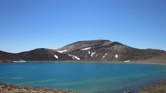
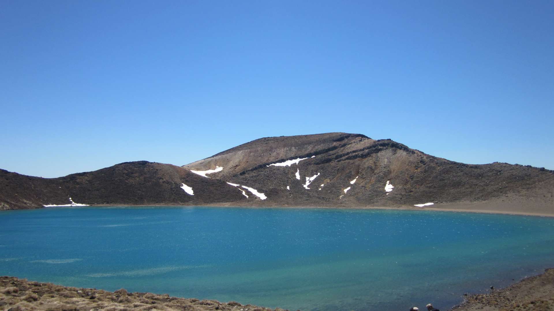
The next section took us to the Blue Lake. From now on, the paths were no longer uphill but slightly downhill and hardly exhausting. The only challenging part of the hike was the remaining distance in kilometers that lay ahead of us.
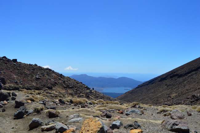
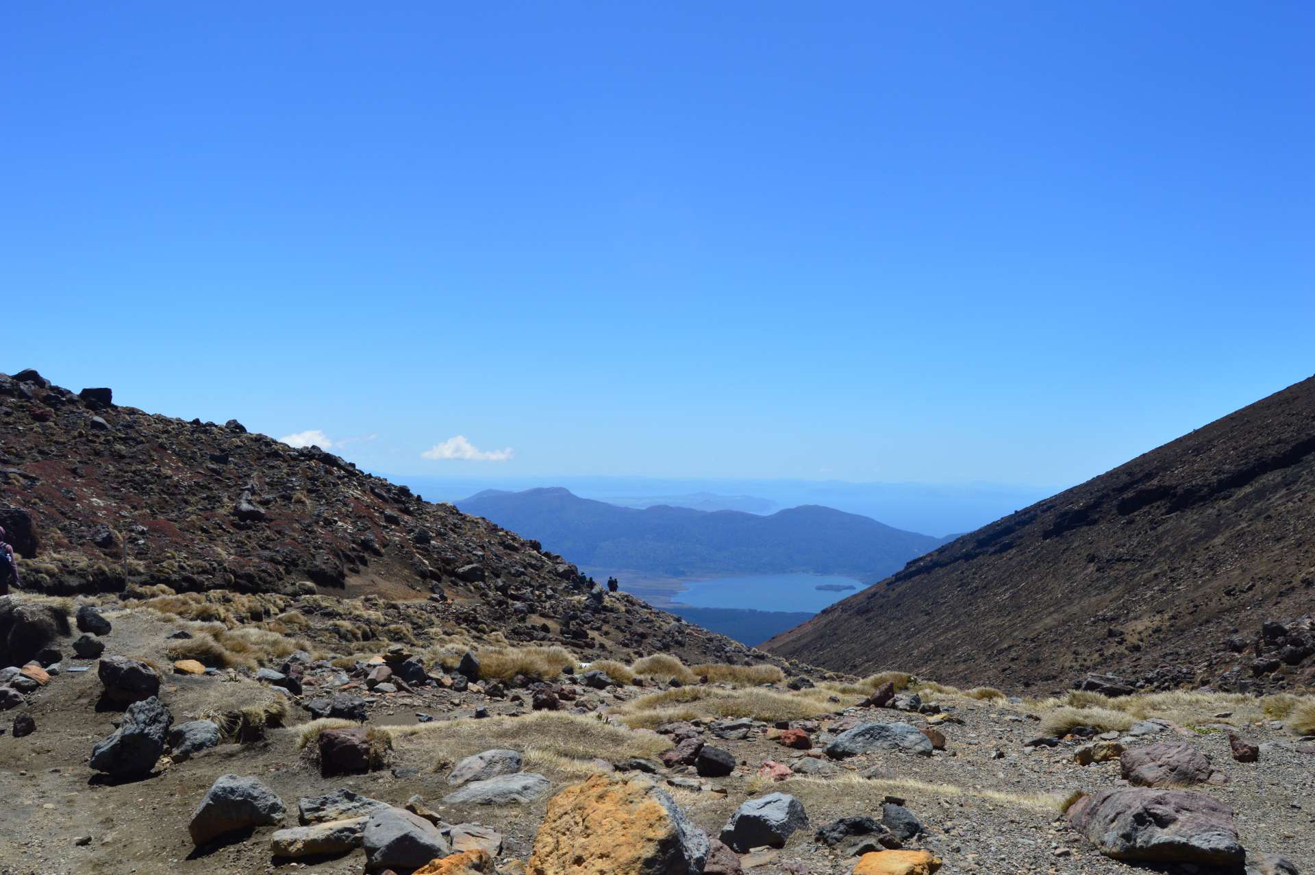
For 3 hours, we slowly descended. First, still in the mountains,
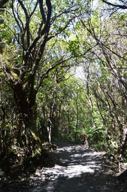
then for the final hour, we walked through a forest, which was pleasant because the warm sun made us sweat mercilessly and the shade of the trees provided some relief.
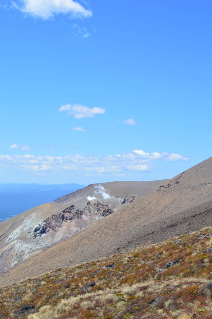
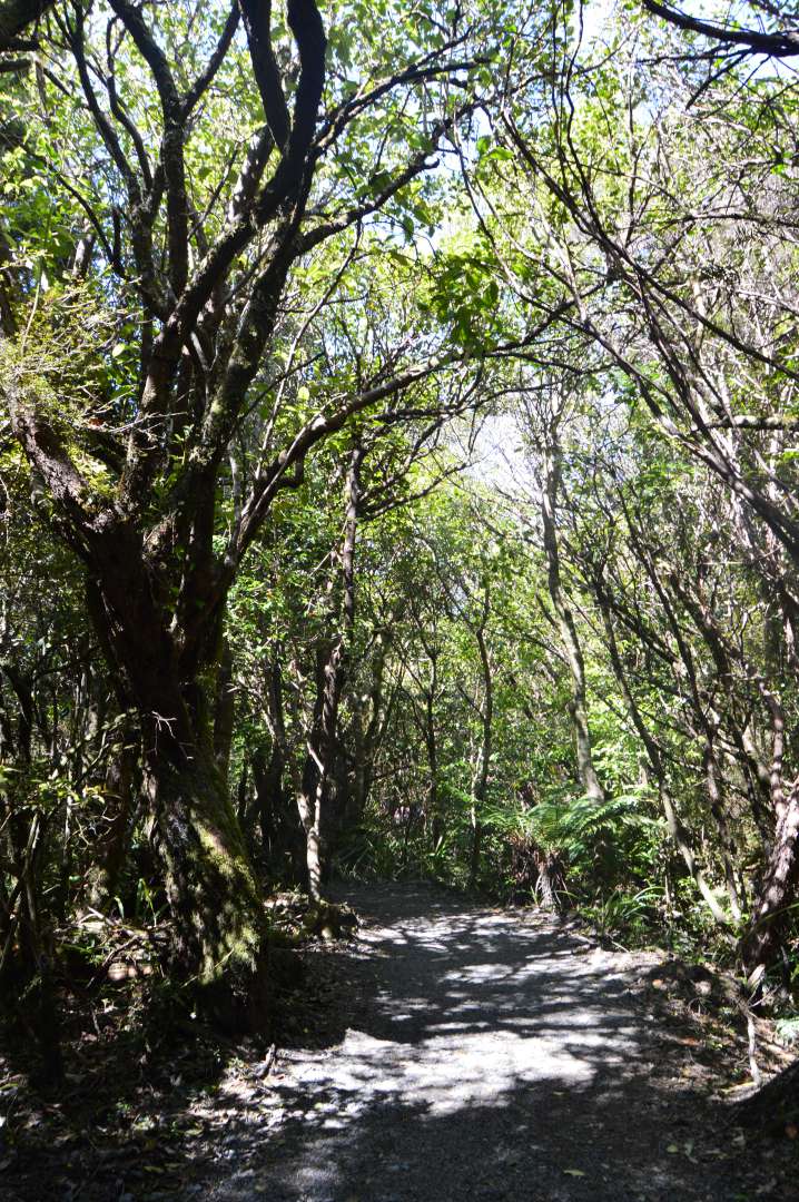
Exhausted but proud of ourselves, we reached the Keteahi Car Park, the endpoint of the Tongariro Alpine Crossing, after 7 hours.
As a reward, we ate the rest of the food we had with us, took off our shoes, and drove back to Taupo, exhausted and happy.
Jana
Subscribe to Newsletter
Answer
Travel reports New Zealand

