17 to Passau
Route: 99 kilometers, cumulative: 1,443 kilometers | Elevation gain: 530 meters, cumulative elevation gain: 6,069 meters, Distance from home: 426 kilometers (as the crow flies) I...


Published: 21.05.2026
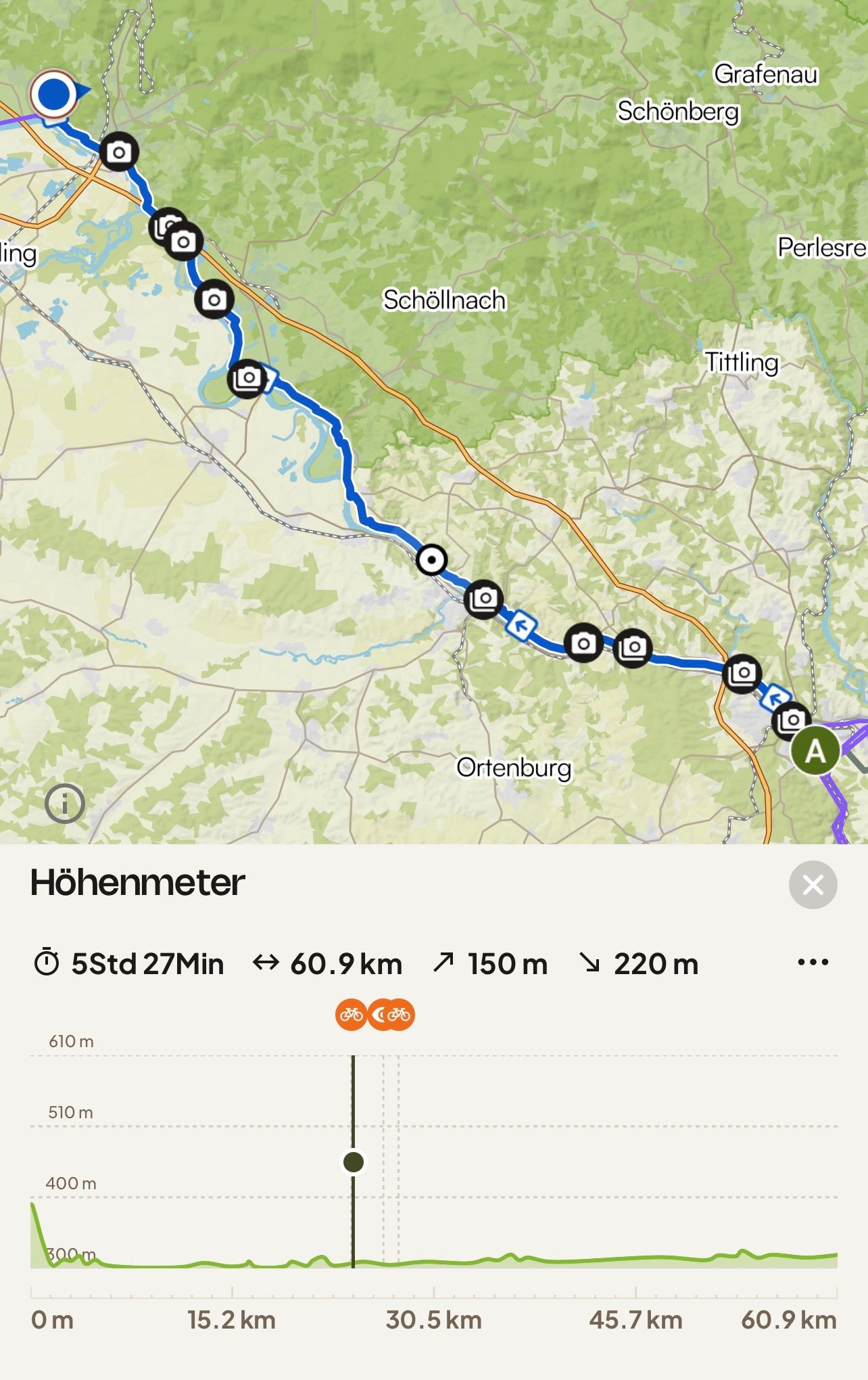
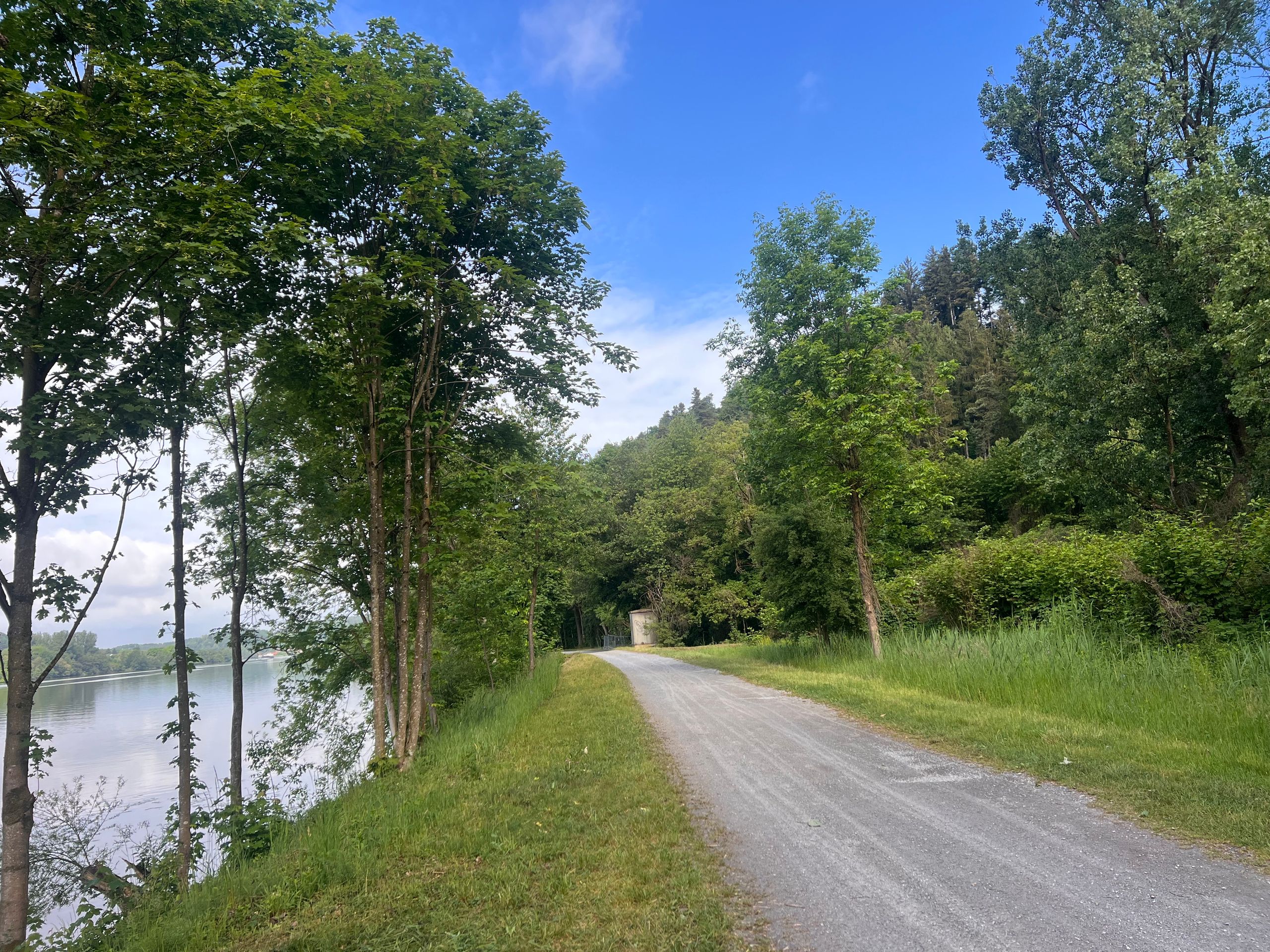
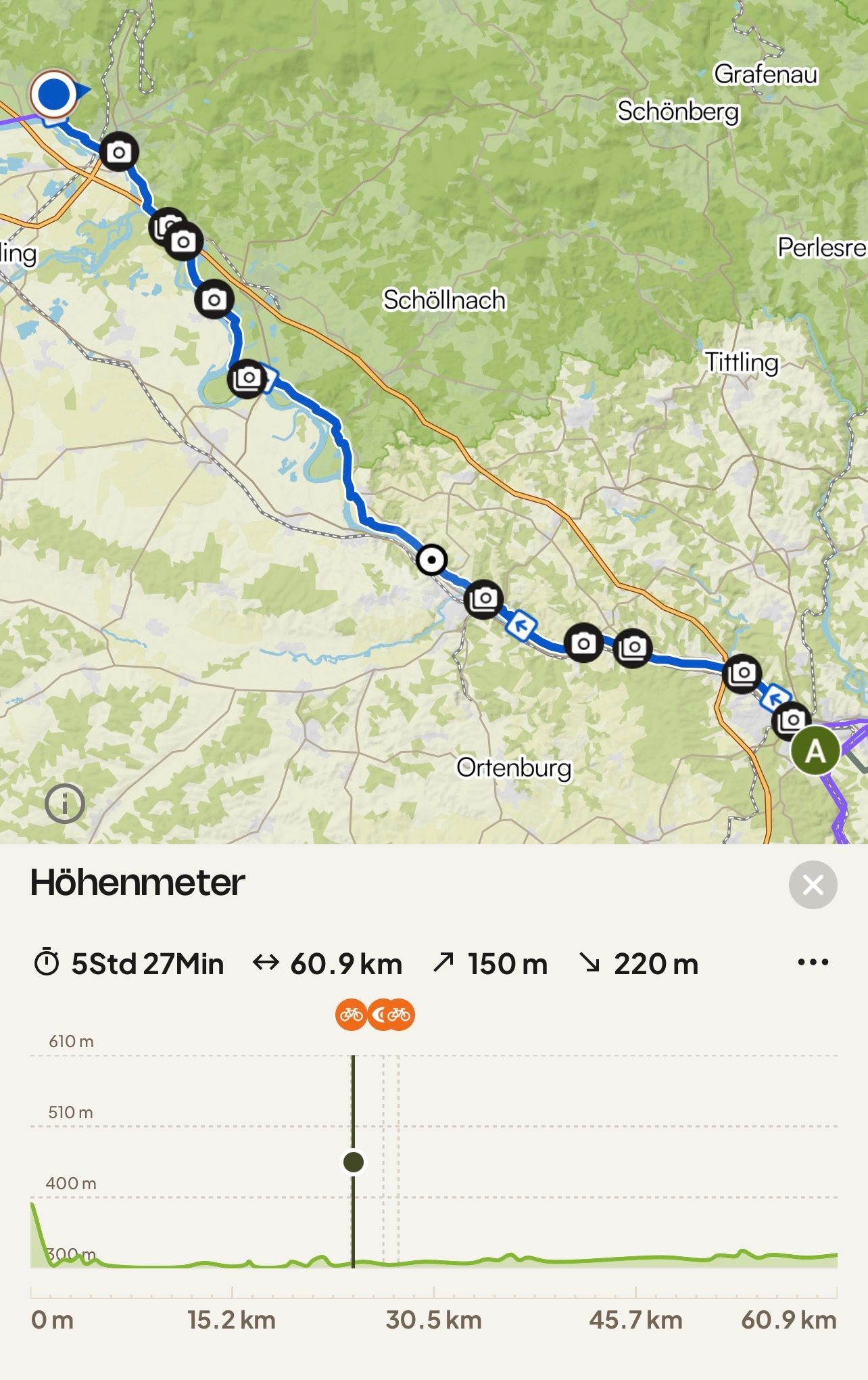
Route: 61 kilometers, cumulative: 1,504 kilometers | Elevation gain: 150 m, cumulative elevation gain: 6,219 m, distance from home: 404 kilometers (as the crow flies)**
In contrast to yesterday, I took a short route, although I had planned a long one. Thus, the planned 97 kilometers turned into only 61 kilometers ridden. I simply let my intuition guide me, and here in Metten, it decided that was enough for today.
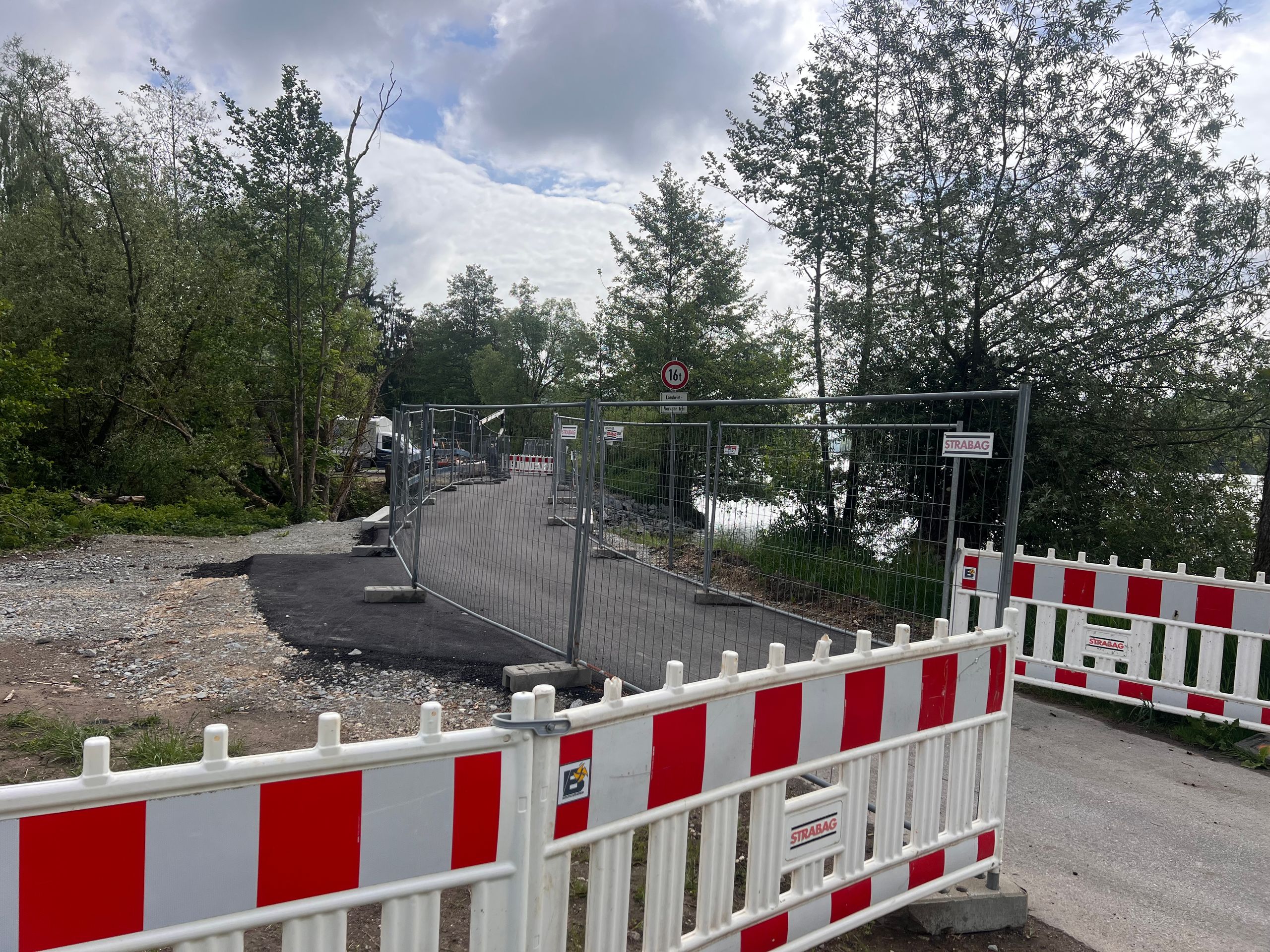
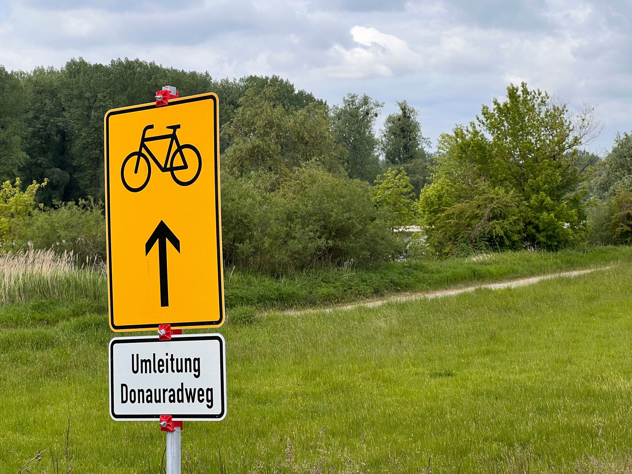
Nevertheless, on this short stretch, I managed to encounter three detours. Each was different, yet the signage was not well thought out to the end in any case. This not only adds kilometers but is also tiring. Additionally, I keep noticing that my sense of direction has declined. At least I am good at reading maps and can always find my way back to the right path.
After yesterday's heavy rain, I was hoping for a bright blue sky today. That wasn't the case, but the sun appeared every now and then, and the temperature was pleasant.
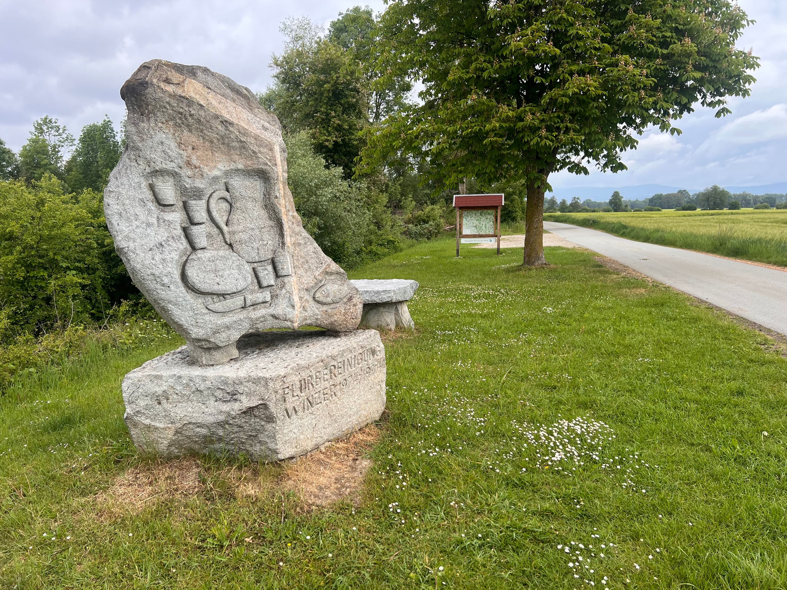
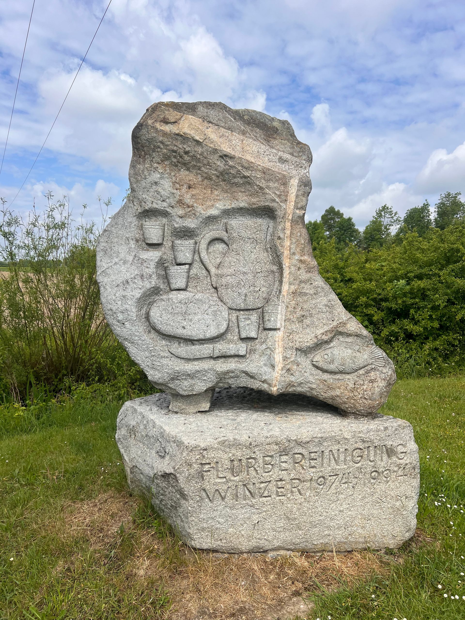
In Winzer, I took my first break next to a sign about land consolidation. This surprised me at first, as I didn't see any vineyards anywhere. Only then did I realize that Winzer is the name of the town. According to the internet, there used to be a lot of viticulture here, but today it only holds minor economic significance.
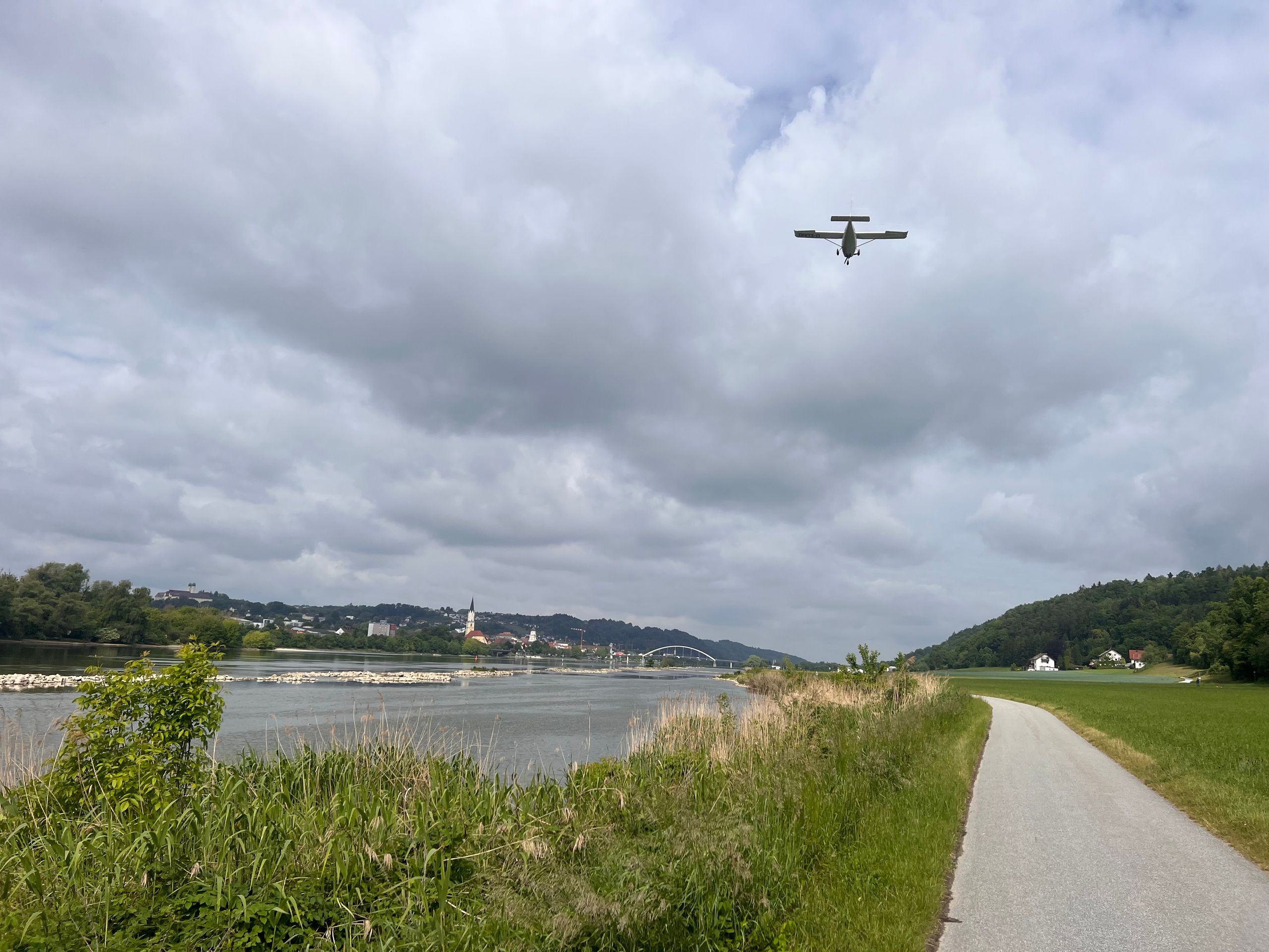
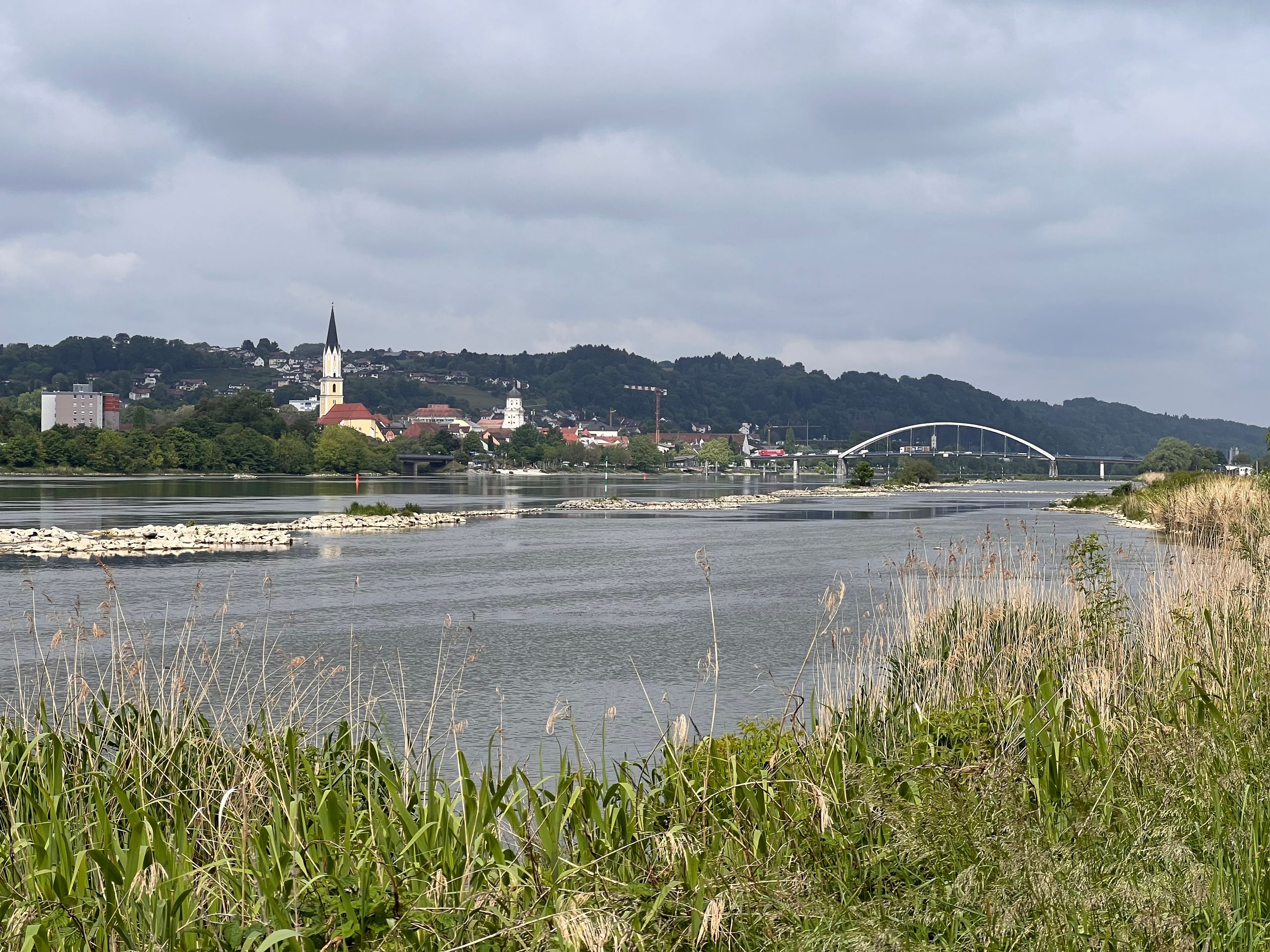
Before Deggendorf, the largest town around here, a small plane flew over me and landed shortly afterwards. This plane brought back many beautiful memories. Of my own flying days and, even more so, of the many flights I experienced as a passenger with André, especially in Texas and Florida.
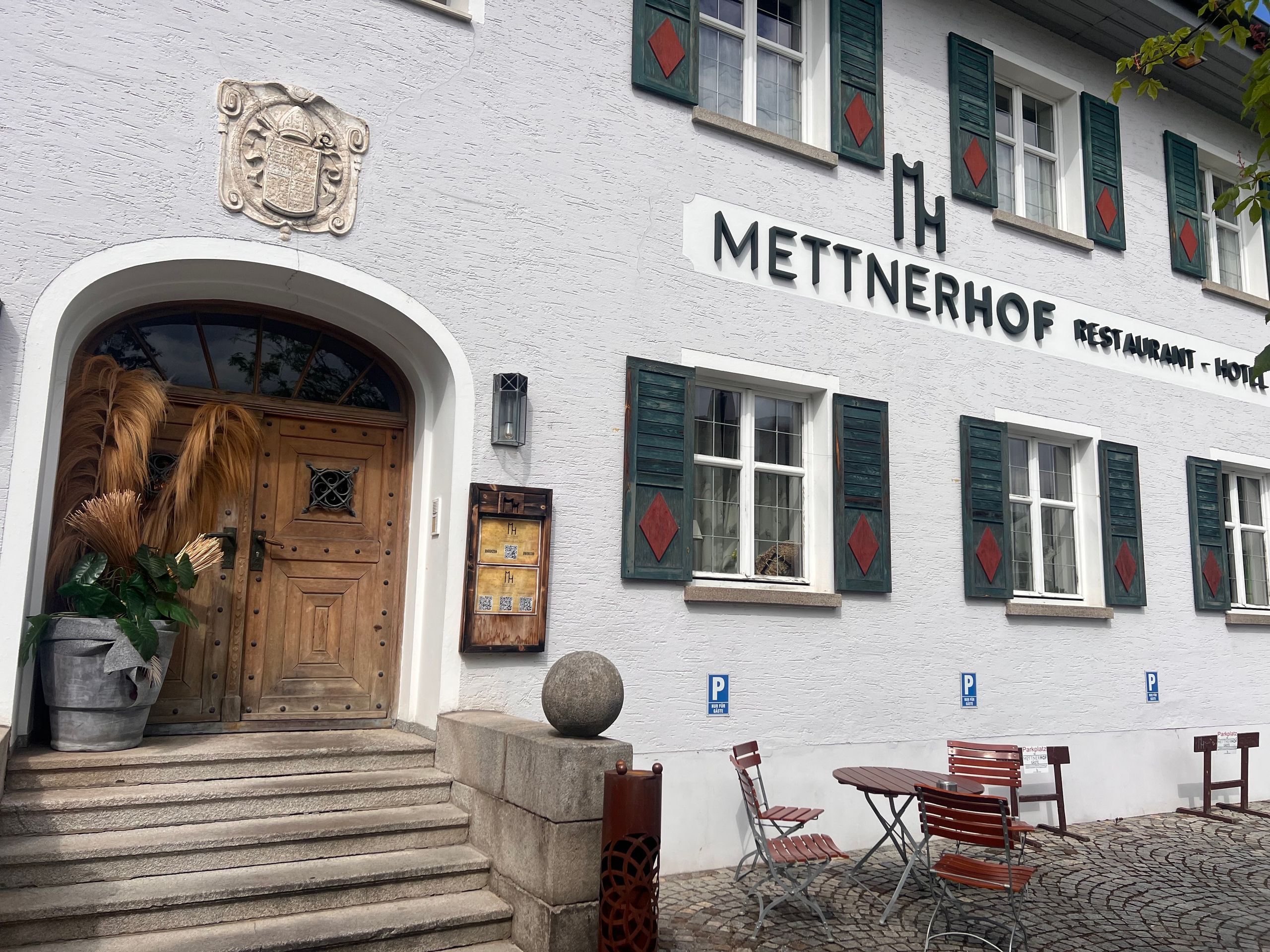
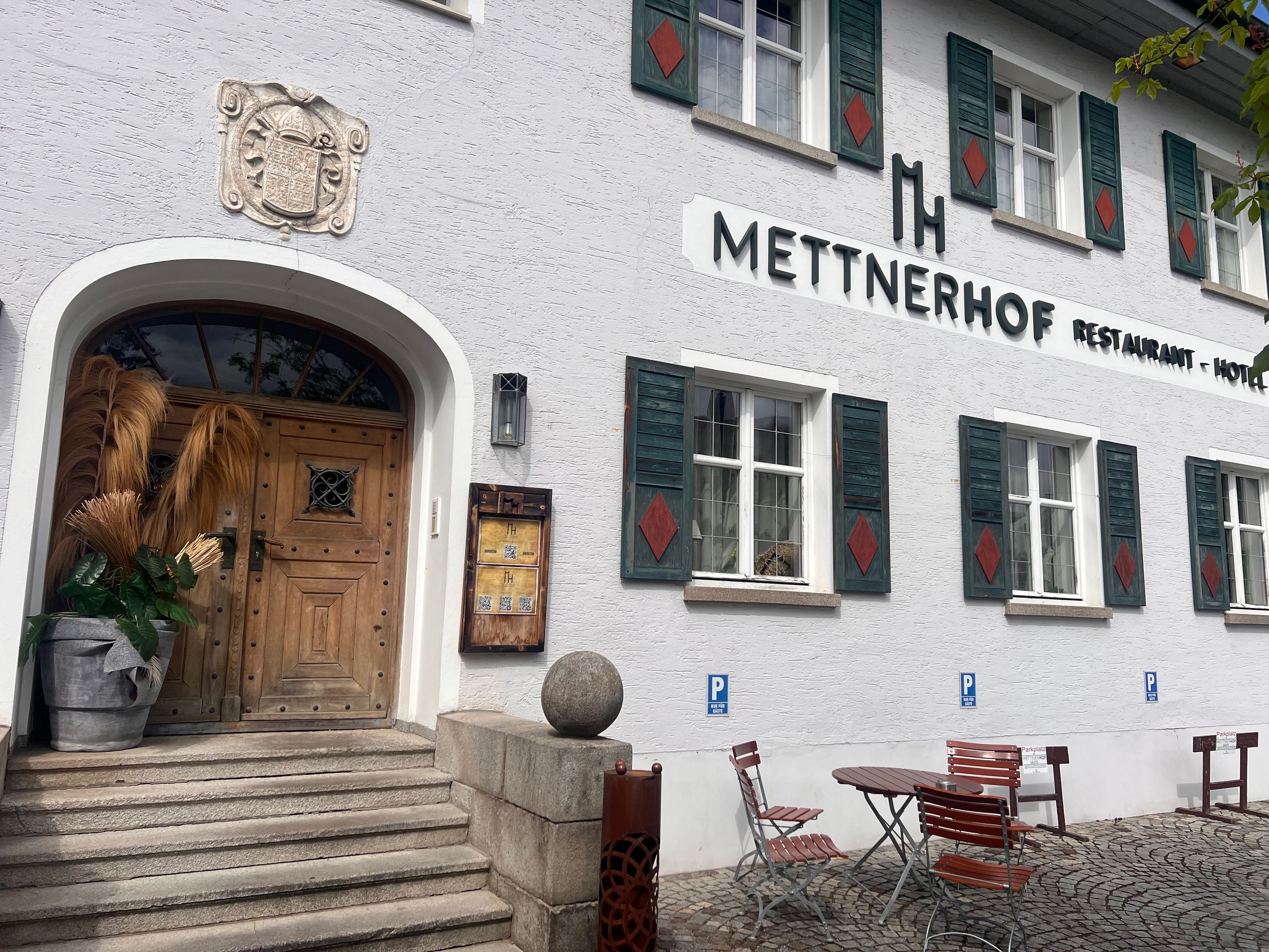
After Deggendorf, I suddenly felt fatigue overcoming me and searched for accommodation. I found a place in the very next town. So, it turns out I can already enjoy my after-work beer here in Metten.
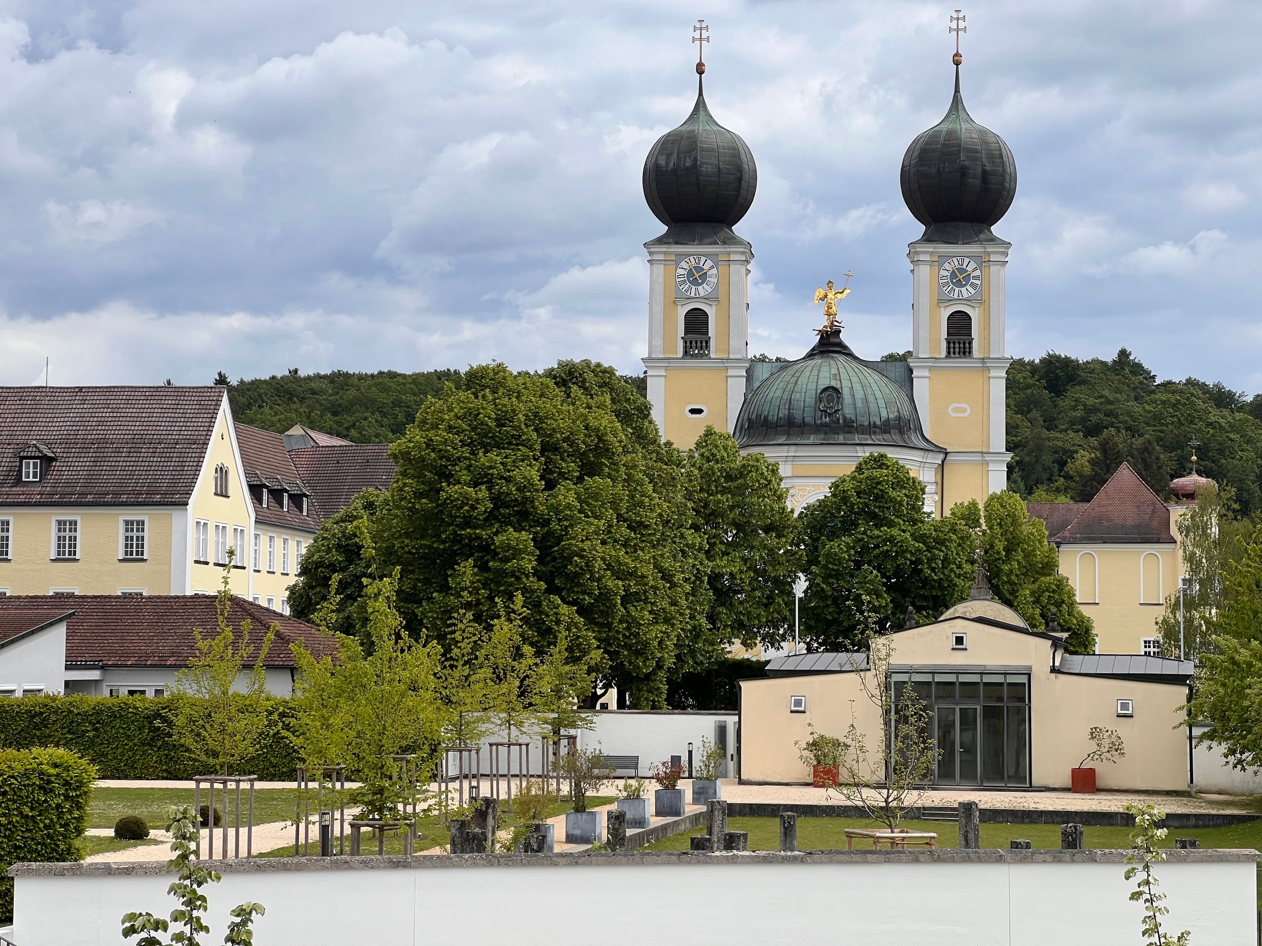
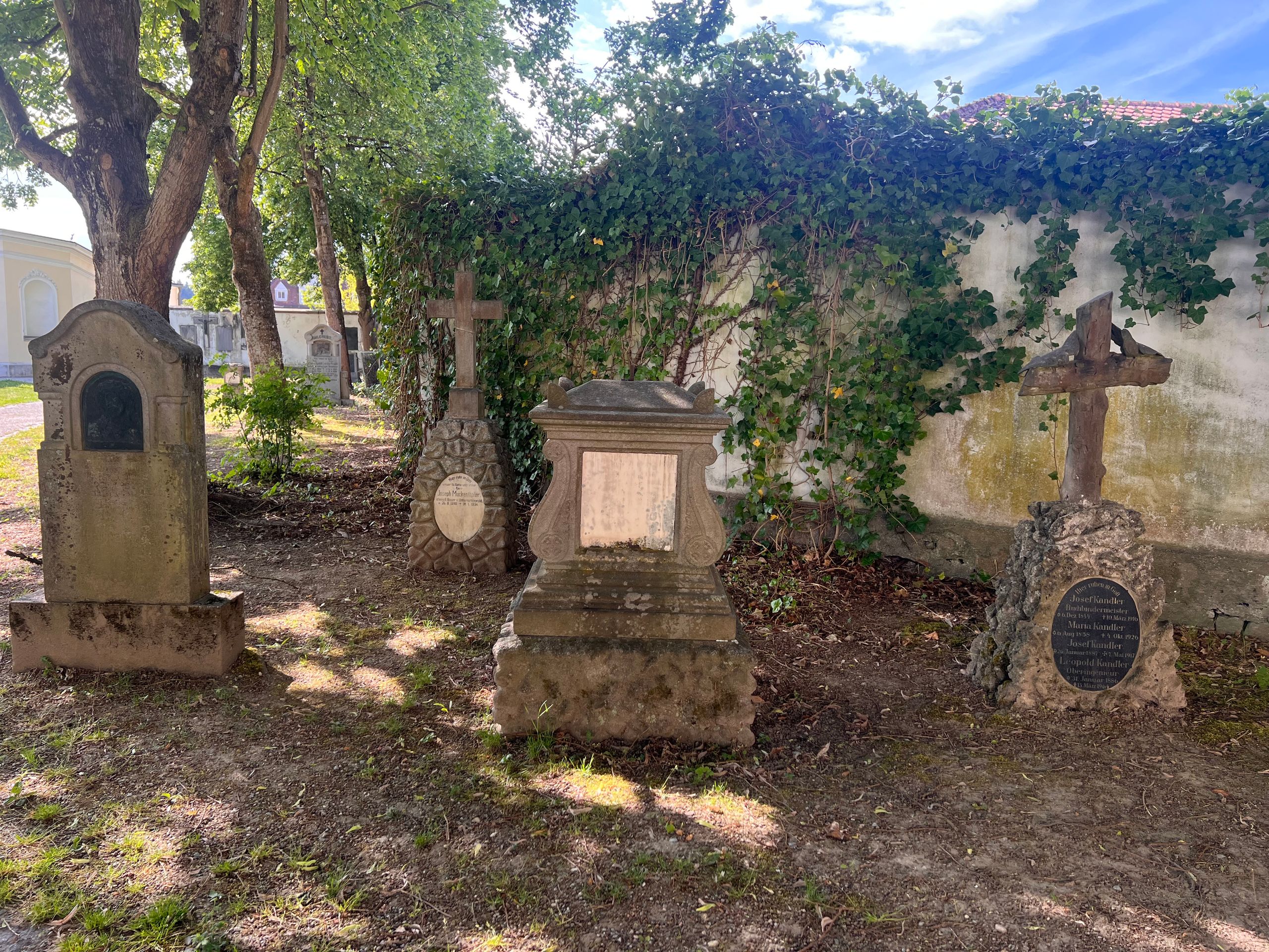
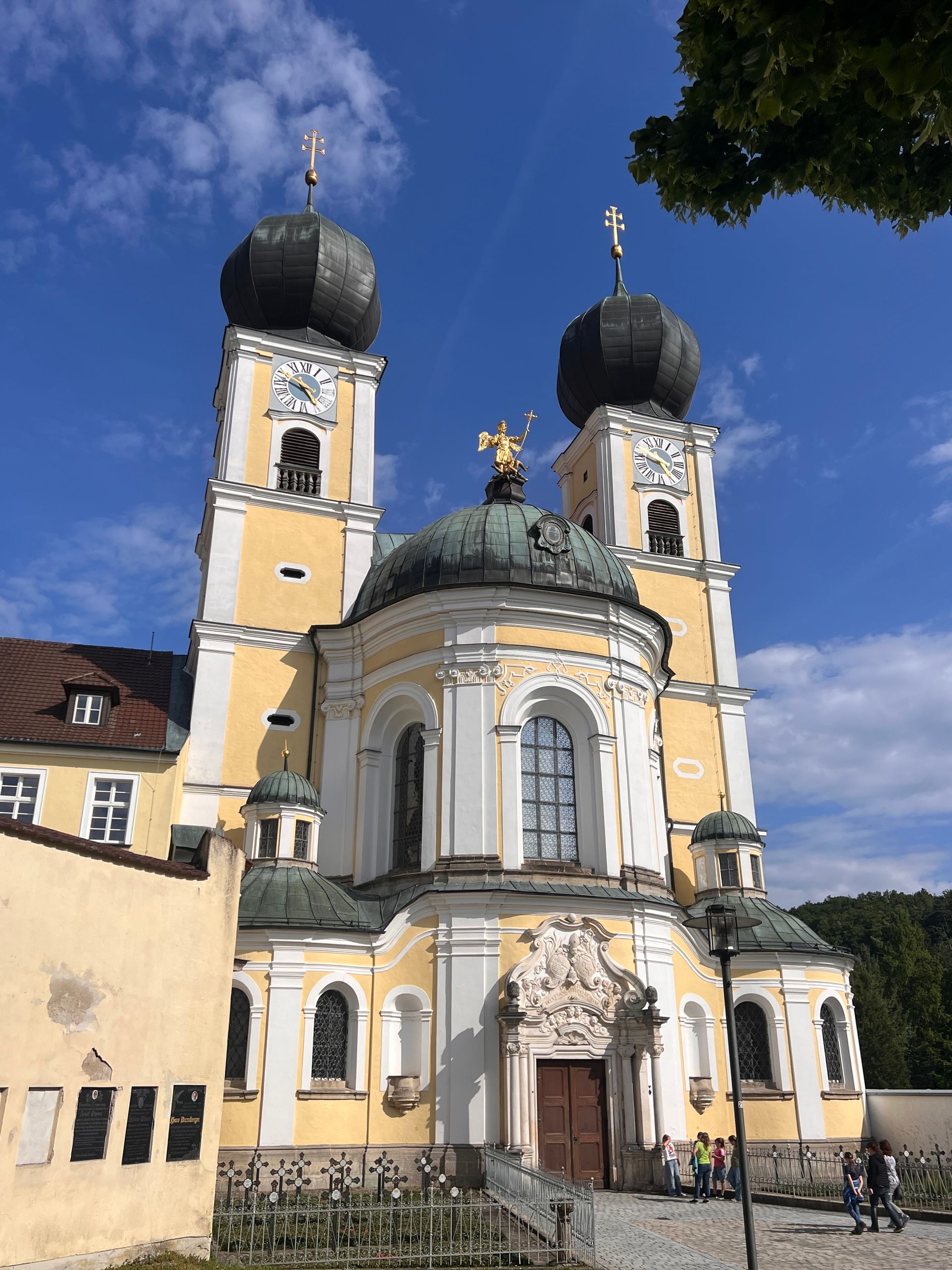
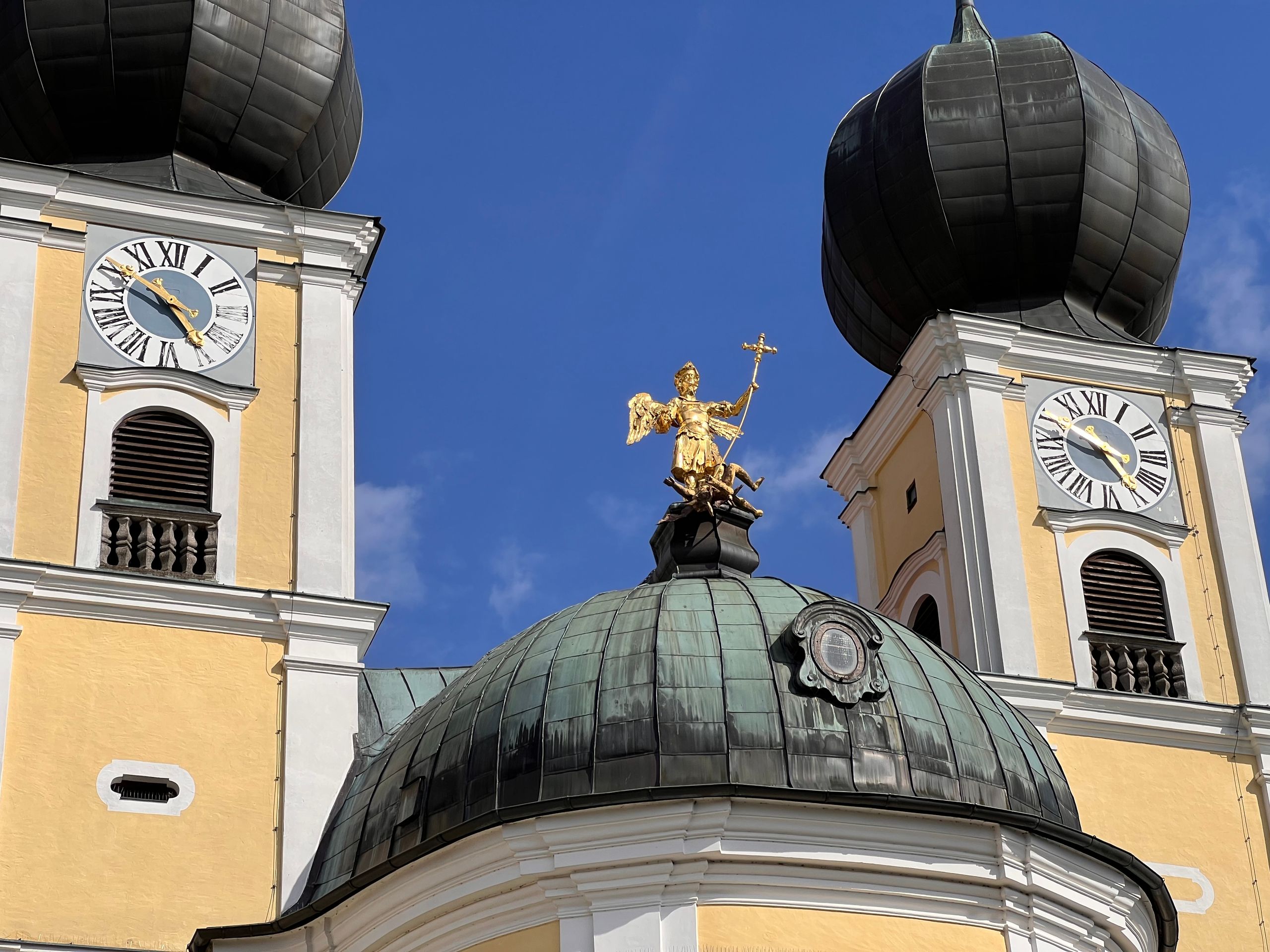
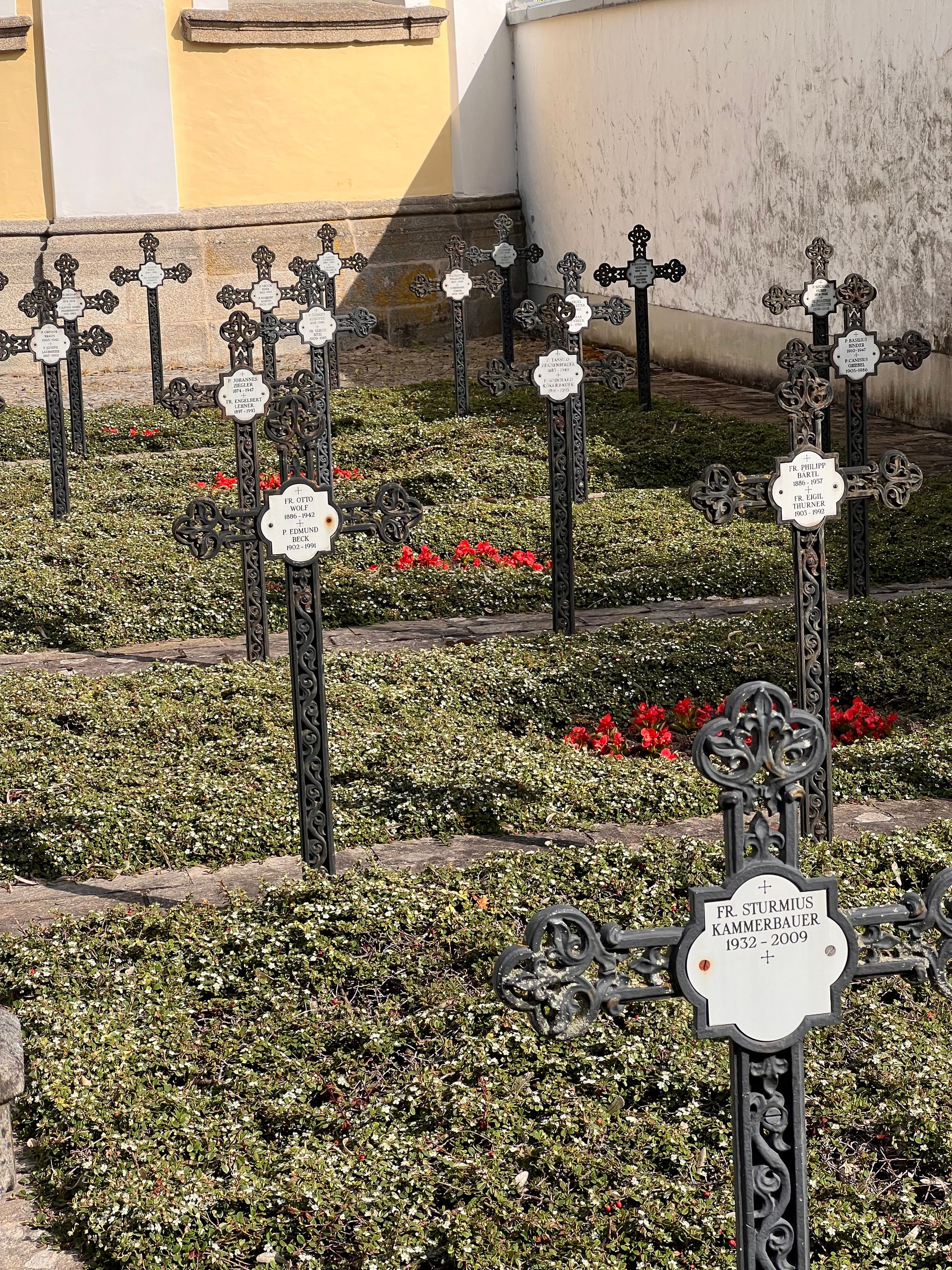
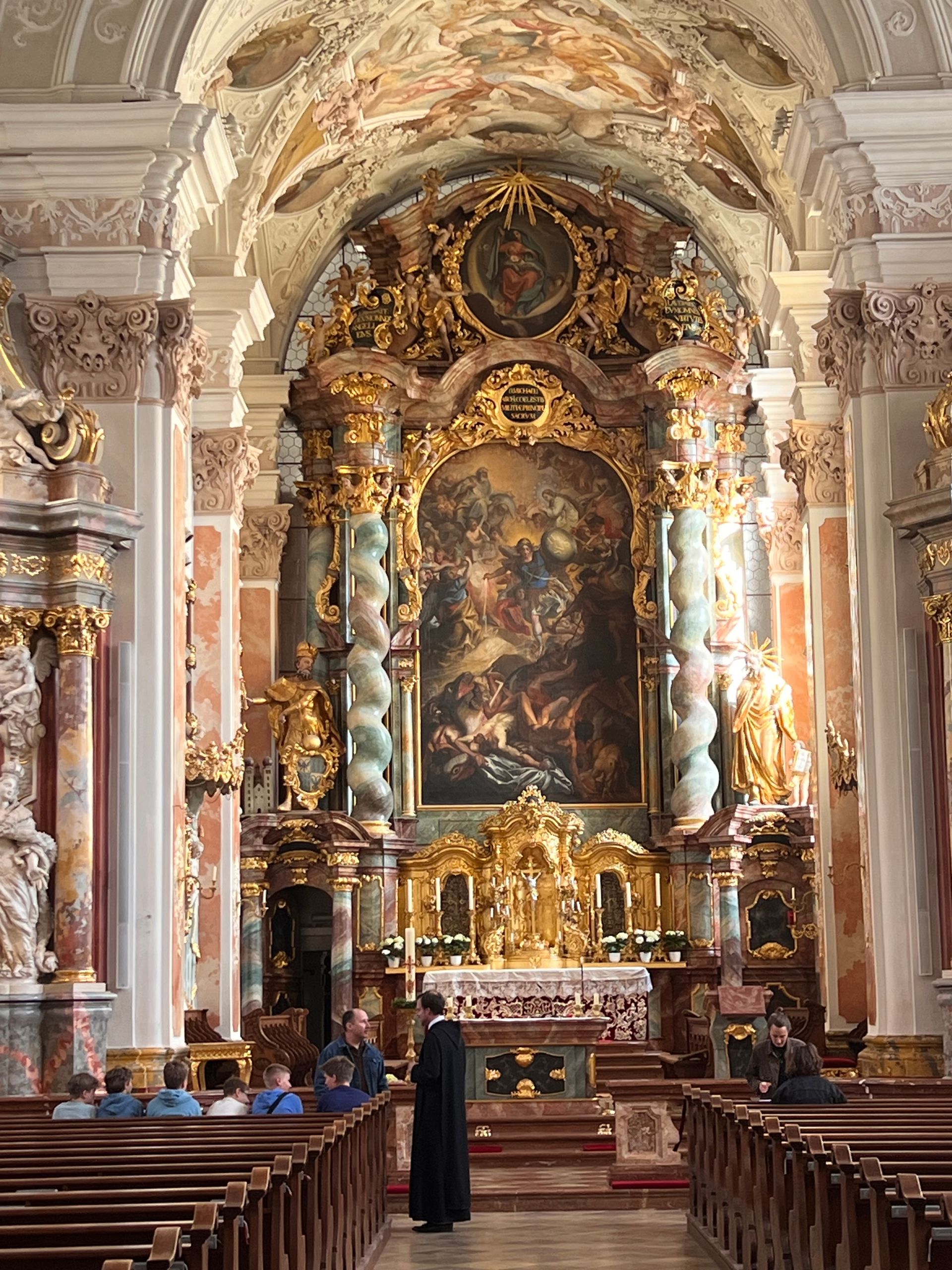
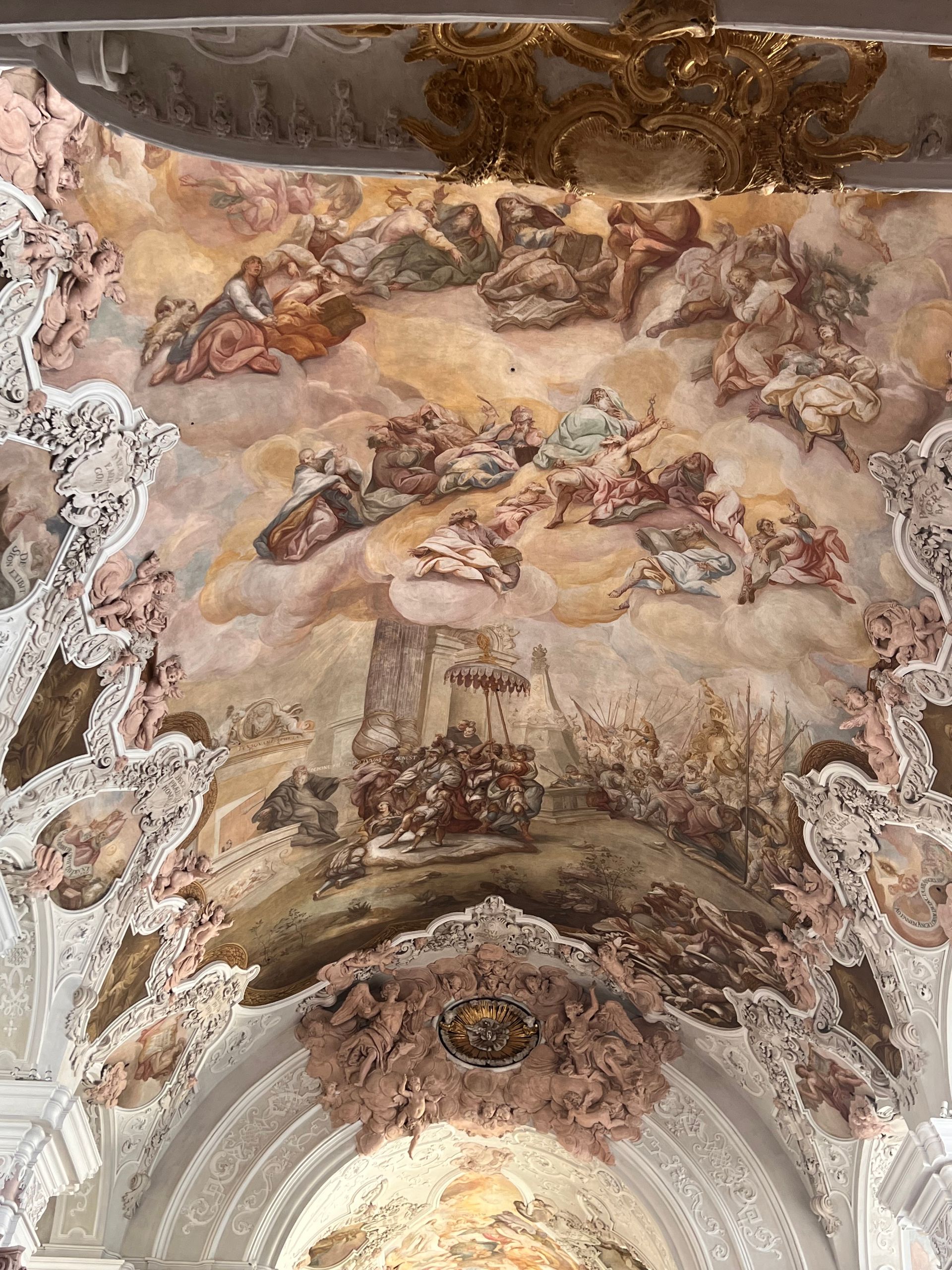
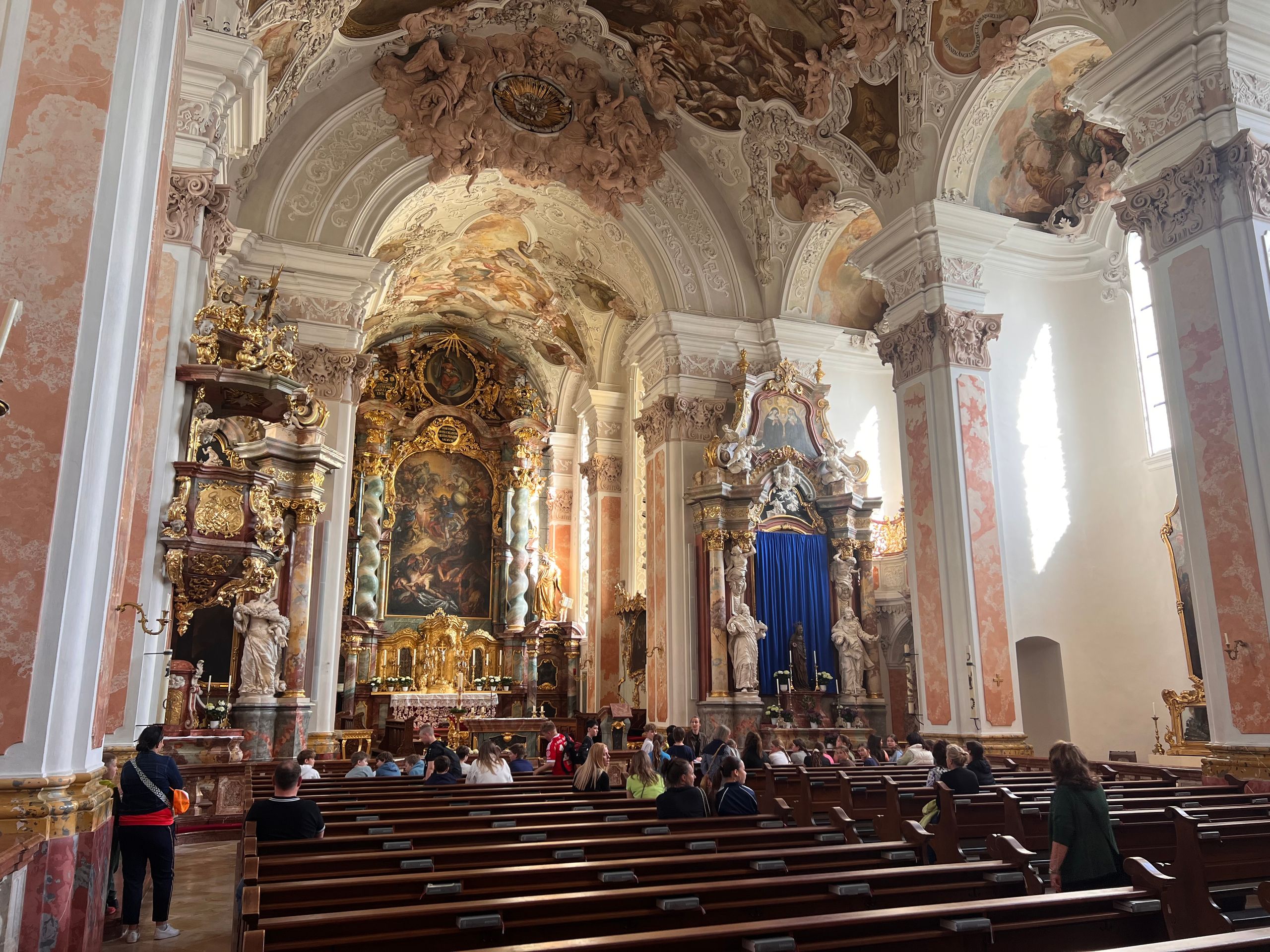
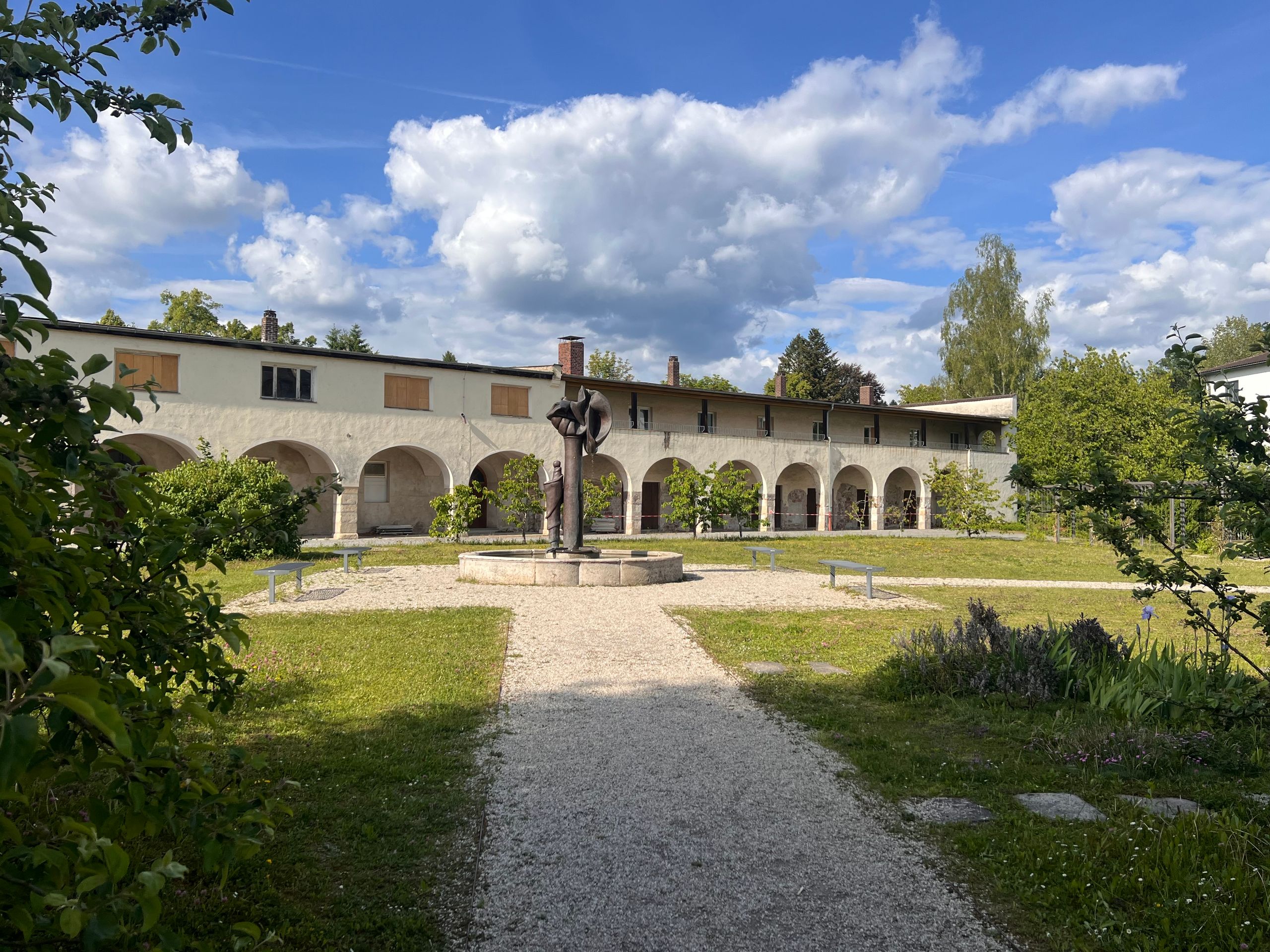
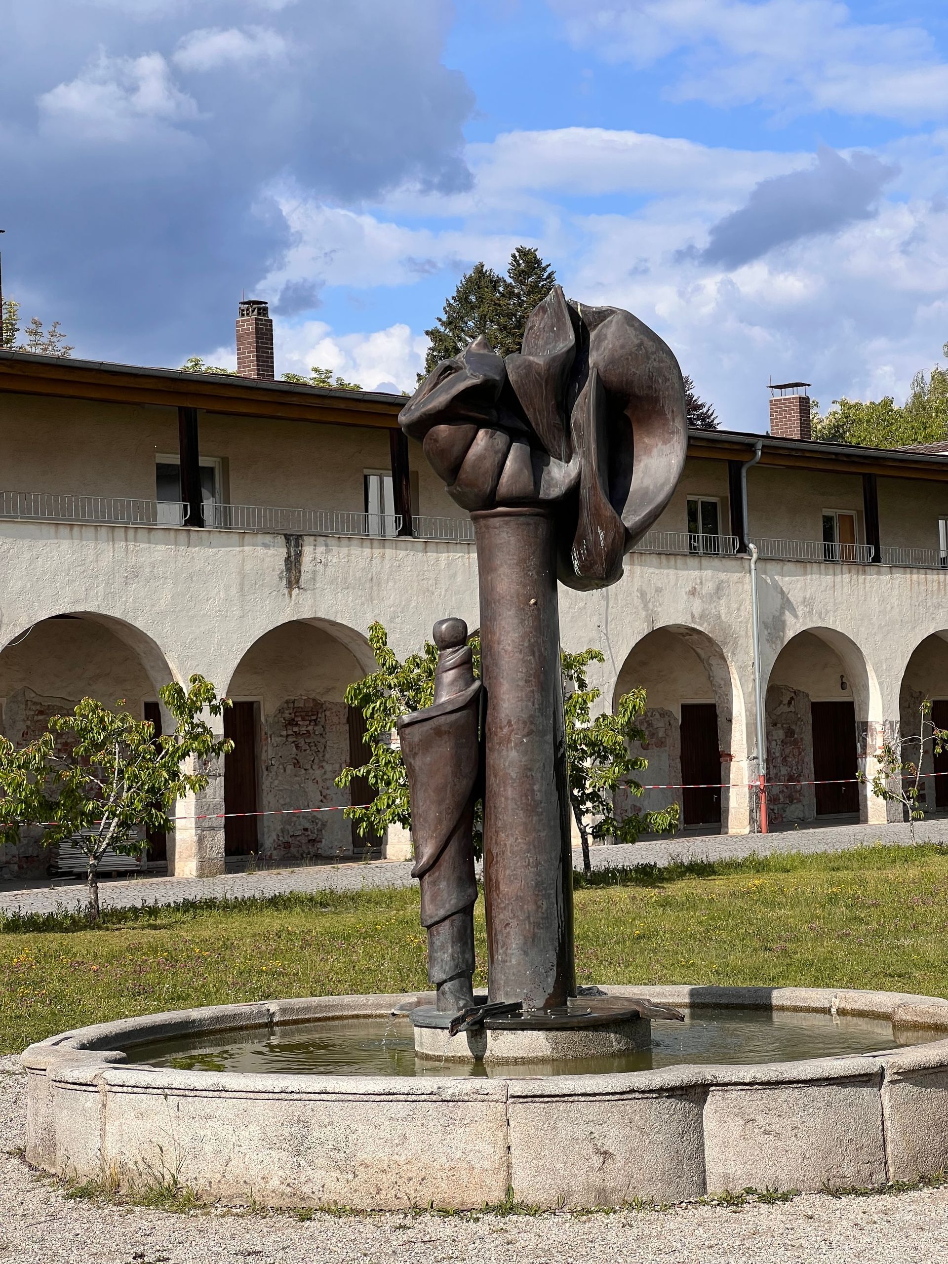
There is a large monastery here in Metten, which I am about to visit. In the photos, you will be able to see later what lies behind the monastery walls.
***
English
Route: 61 kilometres, cumulative: 1,504 kilometres | Elevation gain: 150 m, cumulative elevation gain: 6,219 m, distance from home: 404 kilometres (as the crow flies)**
In contrast to yesterday, I took a short route, although I had planned a long one. Thus, the planned 97 kilometres turned into only 61 kilometres ridden. I simply let my intuition guide me, and here in Metten, it decided that was enough for today.
Nevertheless, on this short stretch, I managed to encounter three detours. Each was different, yet in no case was the signage well-thought-out to the end. This not only adds kilometres but is also tiring. Additionally, I keep noticing that my sense of direction has declined. At least I am good at reading maps and always find my way back to the right path.
After yesterday's heavy rain, I was hoping for a bright blue sky today. That wasn't the case, but the sun appeared every now and then, and the temperature was pleasant.
In Winzer, I took my first break next to a sign about land consolidation. This surprised me at first, as I didn't see any viticulture anywhere. Only then did I realize that Winzer is the name of the town. According to the internet, there used to be a lot of viticulture here, but today it only has minor economic significance.
Before Deggendorf, the largest town around here, a small plane flew over me and landed shortly afterwards. This plane brought back many beautiful memories. Of my own flying days and, even more so, of the many flights I experienced as a passenger with André, especially in Texas and Florida.
After Deggendorf, I suddenly felt fatigue overcoming me and looked for accommodation. I found a place in the very next town. So, it turns out I can already enjoy my after-work beer here in Metten.
There is a large monastery here in Metten, which I am about to visit. In the photos, you will be able to see later what lies behind the monastery walls.
***
Español
Ruta: 61 kilómetros, acumulados: 1.504 kilómetros | Desnivel: 150 m, desnivel acumulado: 6.219 m, distancia desde casa: 404 kilómetros (en línea recta)**
A diferencia de ayer, hice una ruta corta, aunque había planeado una larga. Así, los 97 kilómetros previstos se convirtieron en solo 61 kilómetros recorridos. Simplemente me dejé llevar por mi intuición, y aquí en Metten, esta me indicó que ya era suficiente por hoy.
Aun así, en este trayecto tan corto, logré encontrarme con tres desvíos. Cada uno era diferente, pero en ninguno la señalización estaba bien pensada hasta el final. Esto no solo añade kilómetros, sino que también agota. Además, noto una y otra vez que mi sentido de la orientación ha disminuido. Al menos sé leer bien los mapas y así siempre encuentro el camino correcto.
Tras la fuerte lluvia de ayer, hoy esperaba un cielo azul radiante. No fue así, pero el sol se asomó de vez en cuando y la temperatura era agradable.
En Winzer hice mi primera pausa junto a un panel sobre la concentración parcelaria. Esto me sorprendió al principio, ya que no vi viñedos por ninguna parte. Solo entonces comprendí que Winzer es el nombre del pueblo. Según Internet, antes había mucha viticultura aquí, pero hoy en día tiene poca importancia económica.
Antes de llegar a Deggendorf, la localidad más grande de la zona, una avioneta pasó sobre mí y aterrizó poco después. Este avión me trajo muchos recuerdos hermosos. De mi propia época como piloto y, sobre todo, de los muchos vuelos que viví como pasajero con André, especialmente en Texas y Florida.
Después de Deggendorf, de repente sentí que el cansancio me vencía y busqué alojamiento. En el siguiente pueblo ya encontré algo. Así que ya puedo tomarme mi cerveza de después del trabajo aquí en Metten.
Aquí en Metten hay un gran monasterio que voy a visitar ahora mismo. En las fotos podrás ver más tarde qué se esconde tras los muros del monasterio.