

24/11/2017 - 自由的感觉
我们的早晨开始得和往常一样 - 享用了来自东道主自制的松饼。在早餐桌上,我们与她的丈夫进行了轻松的闲聊。他从事轮班工作,今天早上正好休假。他询问我们今天的计划,于是我们开始谈论曼亚山步道。安德里斯给了我们一些即将徒步旅行的内部小贴士。我们收拾好东西,驱车前往Whangarei...
已发布: 03.12.2017
On the 25th of November 2017, we continued our journey to the north of New Zealand. Thanks to our hosts, we had a great stay in Whangarei. Every guest who stays with Dina and Andries is asked to place a pin on a large map in the dining room. As many Europeans come to New Zealand and visit the two, they bought another map just for Europe. Of course, we also placed our pin and were the first guests from Frankfurt am Main.
Our next destination was Russell. The drive there was another adventure. Once again, half of the road consisted of gravel roads. We drove no faster than 50 km/h for about an hour. When we arrived at the new campsite, not much happened.
The next morning, on the 26th of November 2017, we left our car at the campsite and explored Russell on foot.
Russell was the first capital of New Zealand. However, after only one year, in 1841, this privilege was given to Auckland. In 1865, the seat of government was finally moved to Wellington.
Russell used to be known as the 'Hellhole of the Pacific'. It was the destination for many sailors and whalers after a long voyage. The men enjoyed themselves in countless bars and brothels. But today, the town shines with a completely different charm.
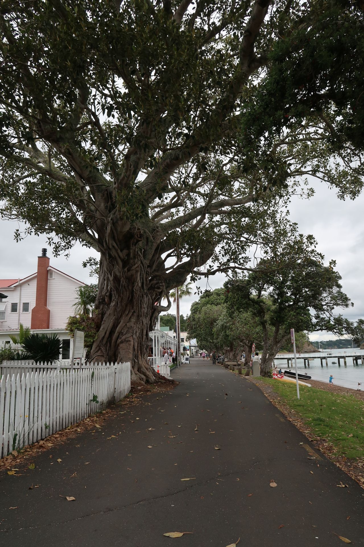
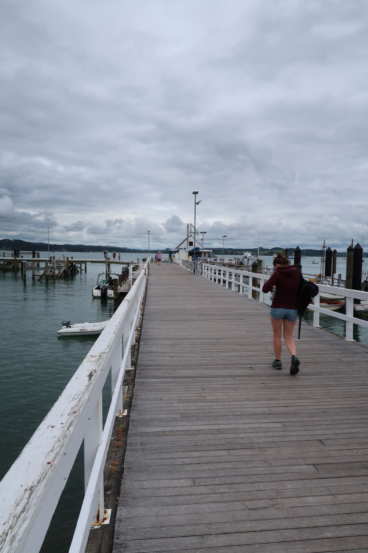
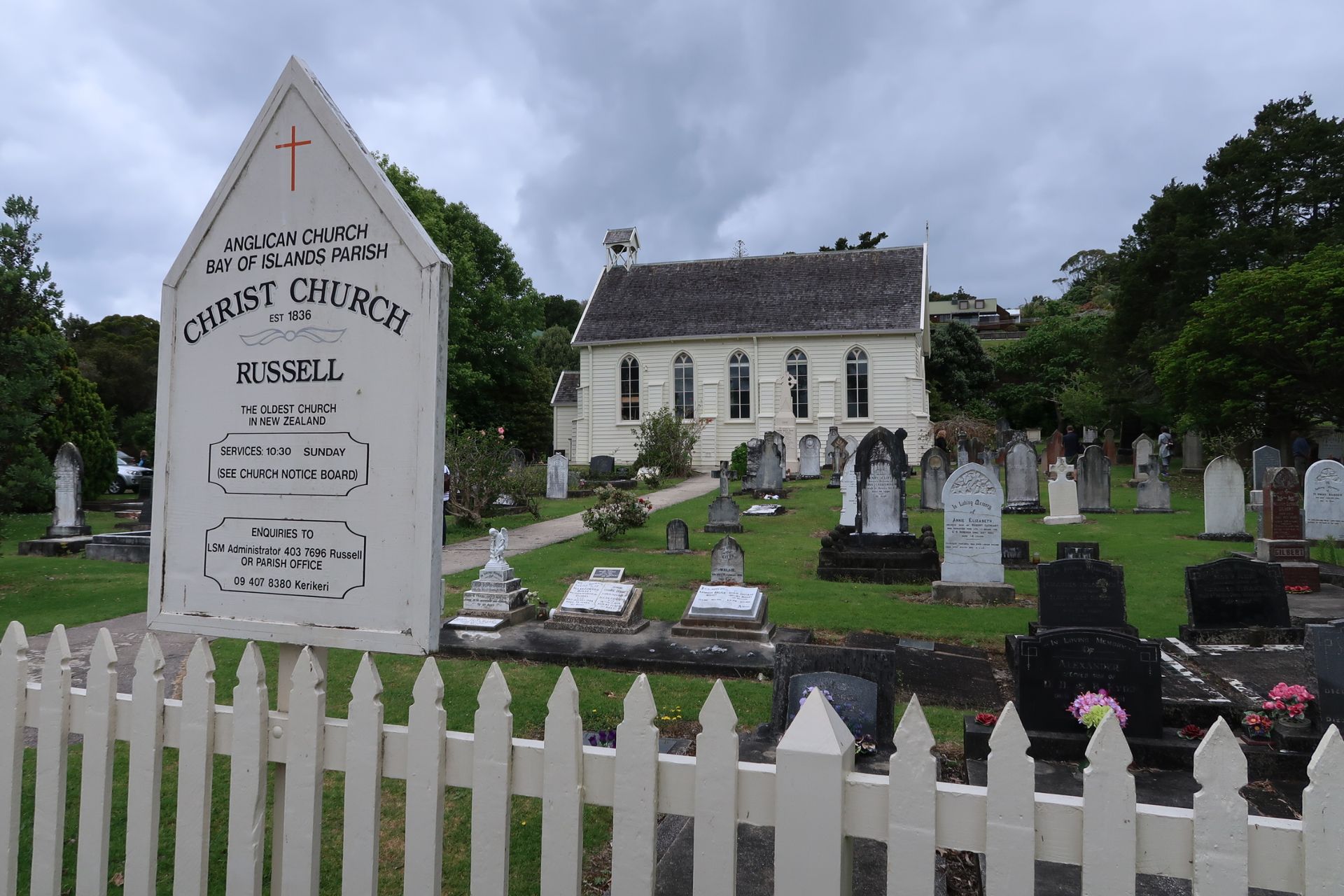
Our city tour started at the beach promenade. Past Russell's oldest hotel and church, which was built in 1836 and is the oldest in all of New Zealand. After exploring the city center, we headed to 'Flagstaff Hill'. From here, we enjoyed the view of the harbor and the neighboring town of Paihia.
After a small snack that we had bought at the village bakery, we continued to the next walk. Part of this route led along a country road. It didn't take long for a red car in front of us to stop. A kind Kiwi lady offered us a ride. Gratefully, we accepted her offer. After a short conversation, she even brought us to the starting point of our track. The lady confirmed our first impression of the Kiwis - extremely friendly and helpful.
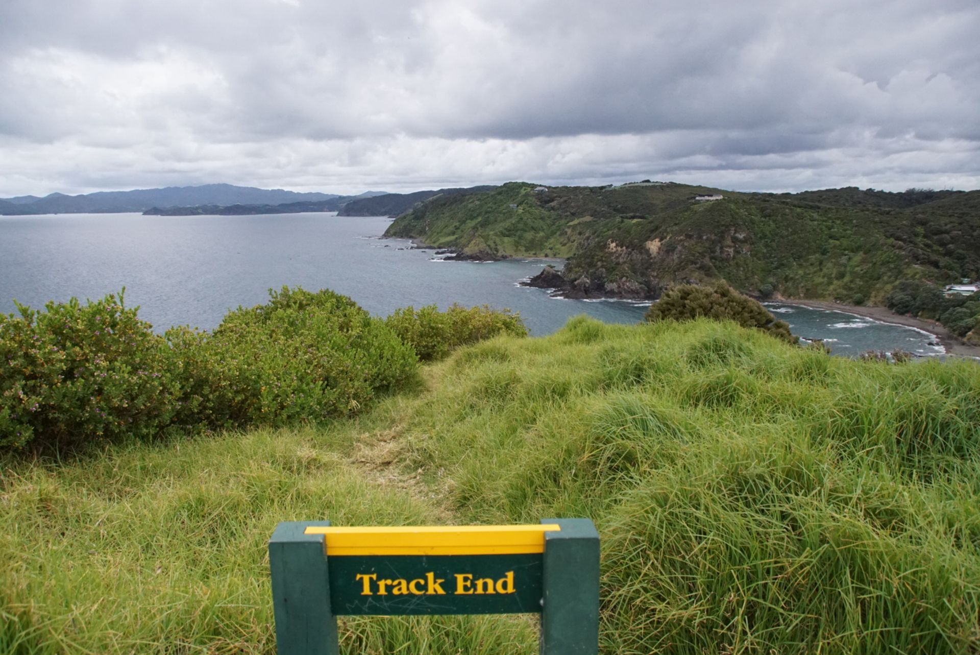
The 'Tapeka Point Track' started very, very steep. But after only a few meters, we had a beautiful view of the many bays. At the end of the track, we had a wonderful view of the Bay of Islands. This group of islands consists of more than 140 islands and is a very popular destination. Daily boat tours to this area depart from Russell and Paihia. From swimming with dolphins to deep-sea fishing, the many providers offer their tours.
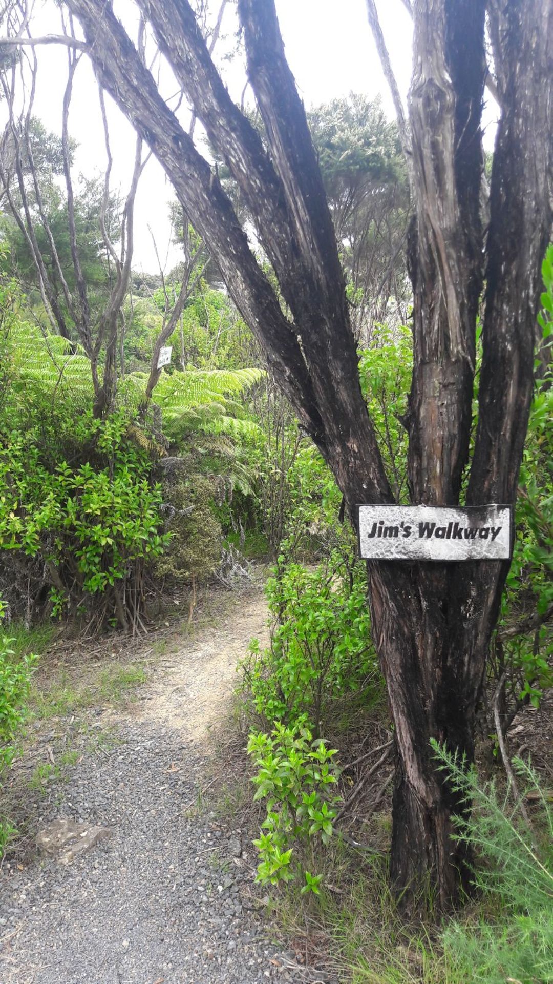
After taking souvenir photos, we headed back towards the campsite. We feared that we would have to walk along the steep country road again. Suddenly, we spotted a sign with many numbers and the inscription 'Jim's Walkway'. Upon closer inspection and subsequent research, it turned out that an older man, together with his wife, had created a small hiking trail through the adjacent forest. The sign keeps track of how many hikers go to or from Russell every day. Each passerby is asked to place a shell in the respective container. Our two shells ended up in the 'To Russell' container. Unfortunately, at that moment, we were somewhat perplexed and forgot to take a picture of the station. :(
Jim's walkway was really nicely laid out and much more pleasant to walk than the road shoulder. Dear Jim, thank you very much! :)
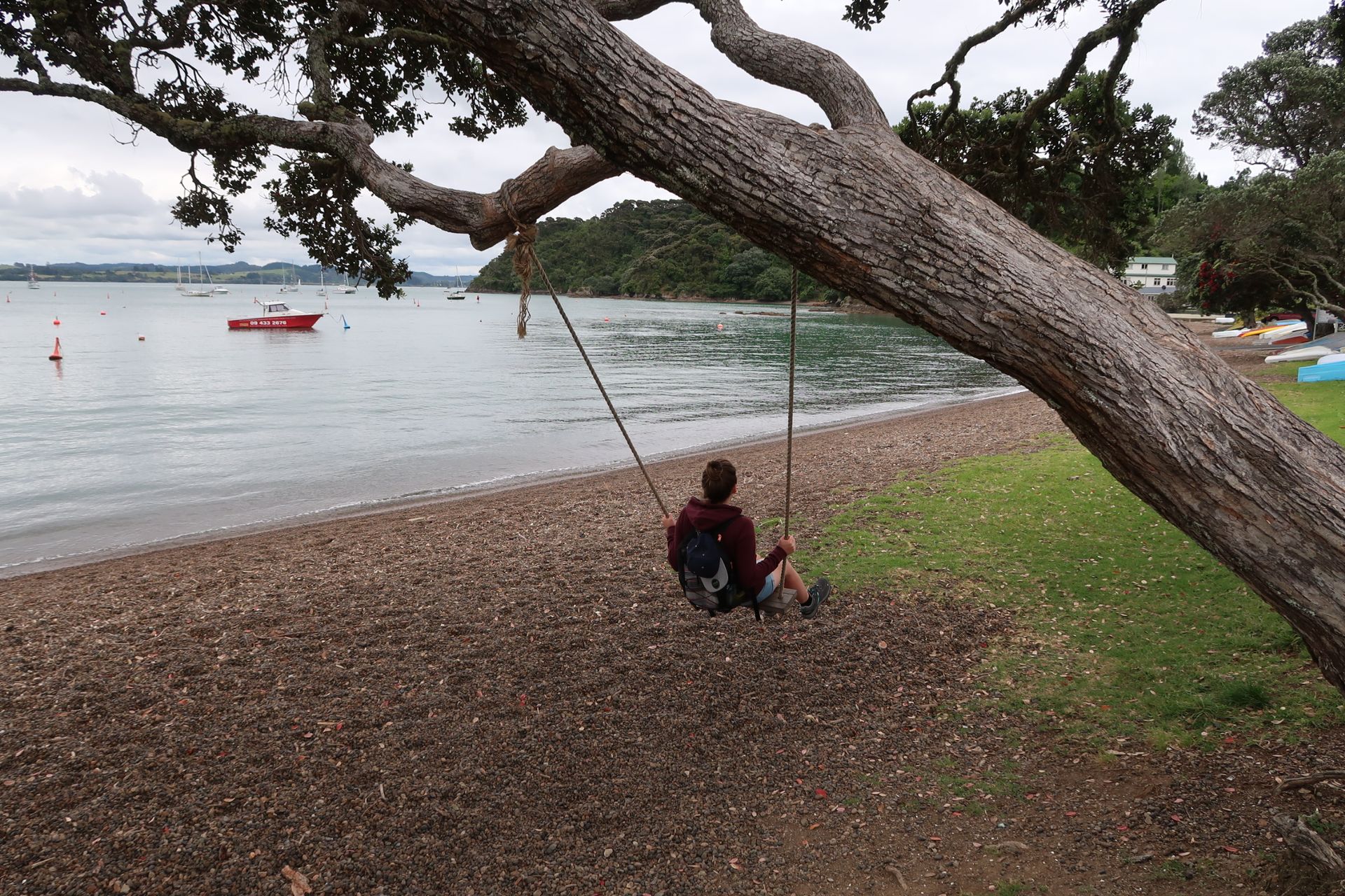
We decided to take a detour to the beach. After a 15-minute walk, we reached it, and it was empty. We actually thought we would continue towards the campsite from here, but we were mistaken. So, we headed back the same way.
We followed the signposted way back home, which should lead us to Russell city center. The special thing about it was that it can only be walked at low tide. Without studying the tides beforehand, we set off on a whim. When we reached the sea, an adventurous path awaited us. We climbed over the rocks along the coast and had to protect ourselves from the water. Once we arrived safely and dryly at the harbor, it was only a few meters to our campsite.