#130 Albanian Alps and Lake Koman
La daabacay: 29.05.2022
Ku biir Wargeysyada
May 19-21, 2022: Koman, Valbona.
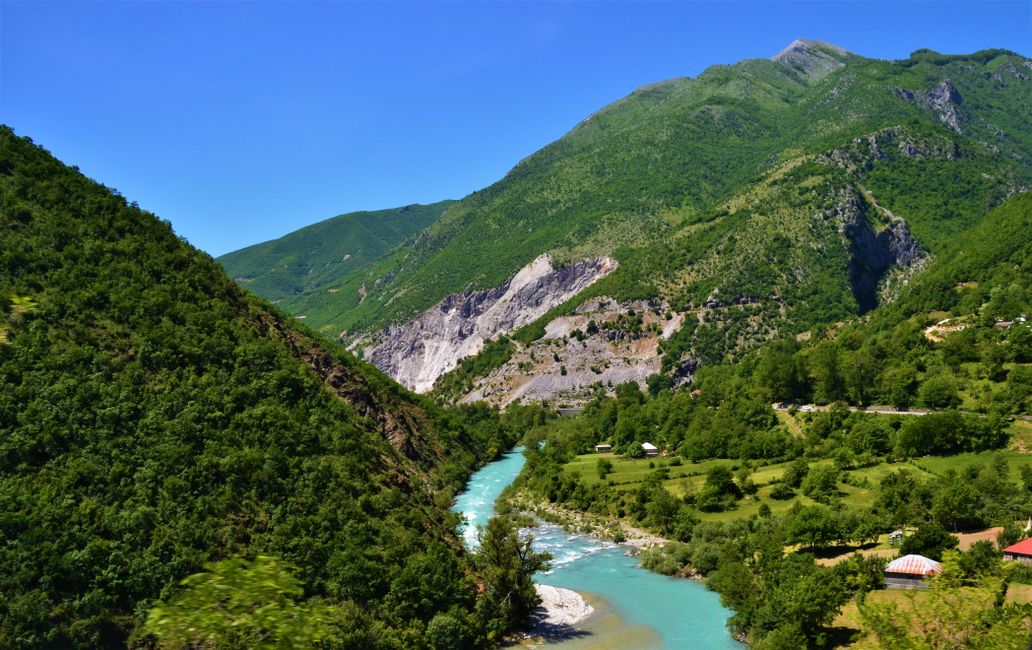
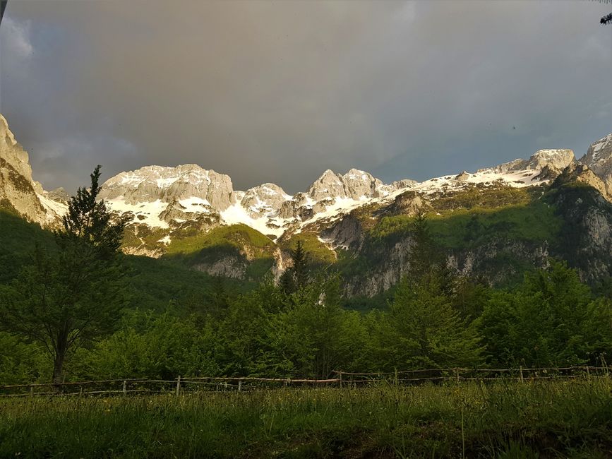
The actual highlight of Albania - at least according to the opinion of many travelers we met - is a boat trip on Lake Koman and a subsequent hike from Valbona Valley to Theth Valley through the Albanian Alps. In Shkoder, our research revealed that the hiking trails between Valbona and Theth are still closed due to snow, and that the road to the Koman ferry is over 20km of rough road. Well, it may not be the best conditions, but it was worth a try.
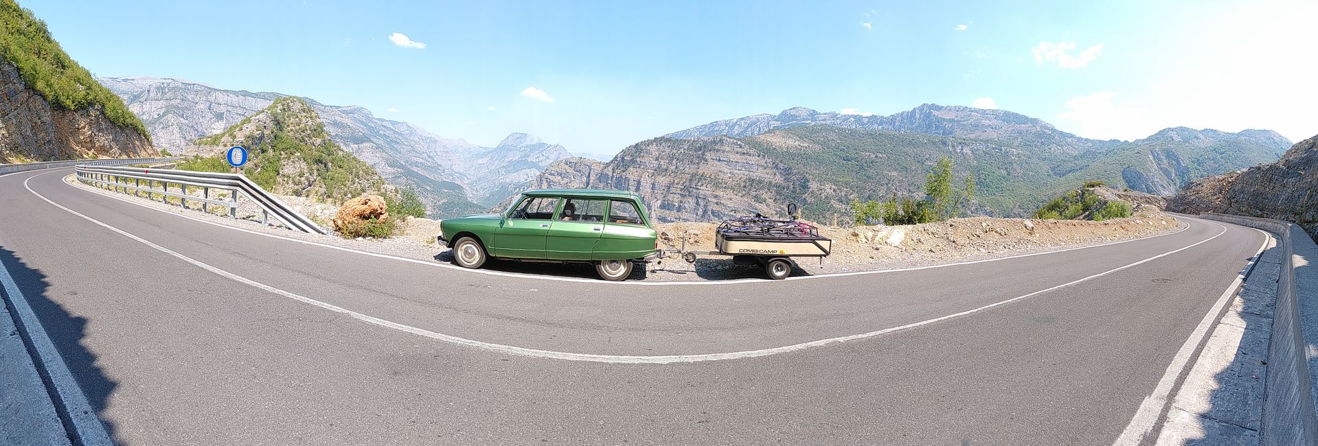
In the afternoon, we set off for Koman to take the ferry the next day, which we had already booked yesterday. The distance between Shkoder and Koman is approximately 60km. The first 40km were winding but paved roads, and then the road, as promised, simply ceased to exist. With great effort and patience, we managed to navigate the last 20km of gravel road with our van, with the last 20km taking longer than the first 40km.


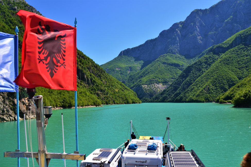
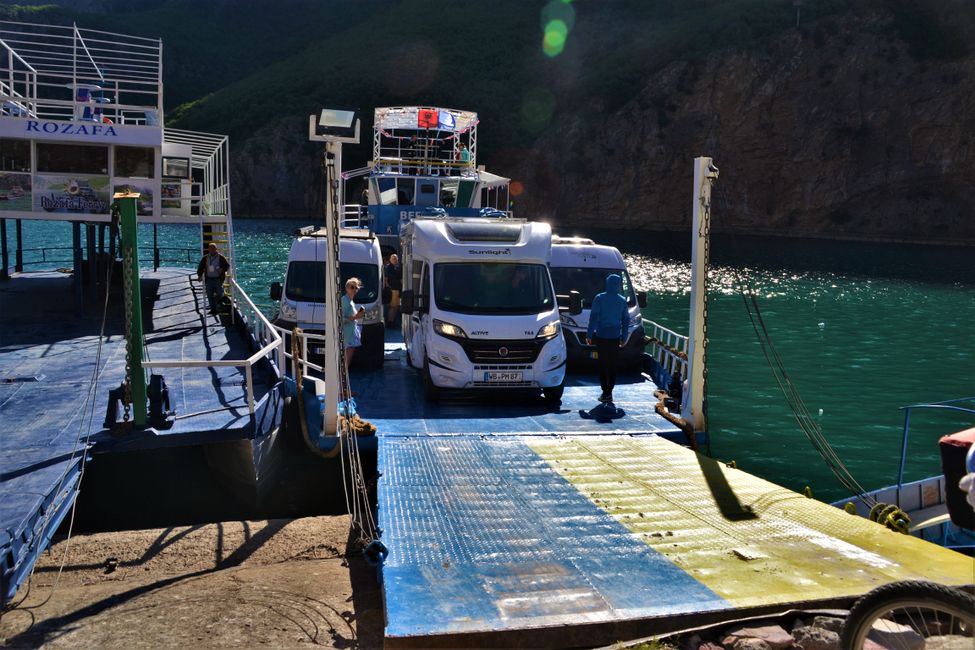
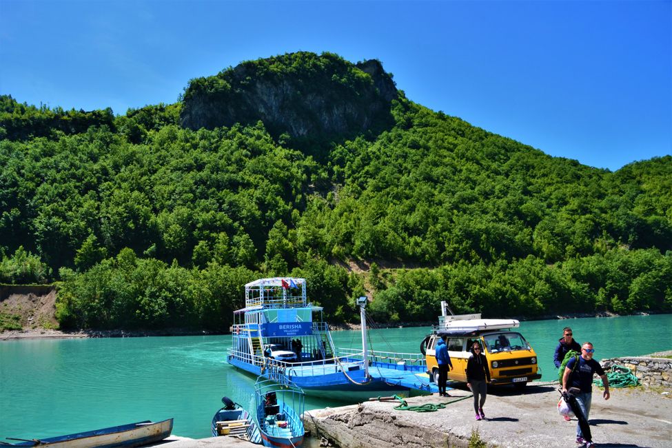
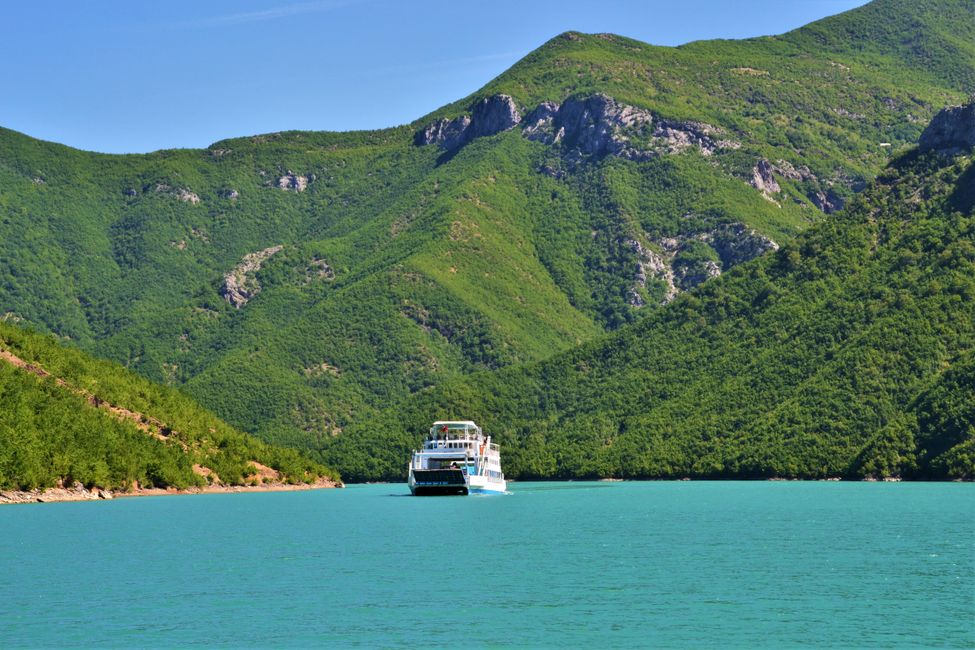
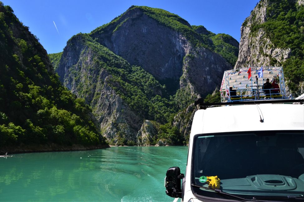
The ferry was scheduled to depart at 9am, and we were told that we could board at 8:30am. When we arrived at the ferry terminal just after 8am, we were the third-to-last car to board the ferry. We were guided backward onto the small ferry by three men with millimeter precision. Following us, there were two more motorhomes, and then the ferry was already fully loaded. (1 motorcycle, 2 bicycles, 4 cars, and 6 motorhomes/campers). Our van was parked so tightly that we couldn't reach any of our doors. I was kindly asked if I wanted to exit before they closed everything up. 😊

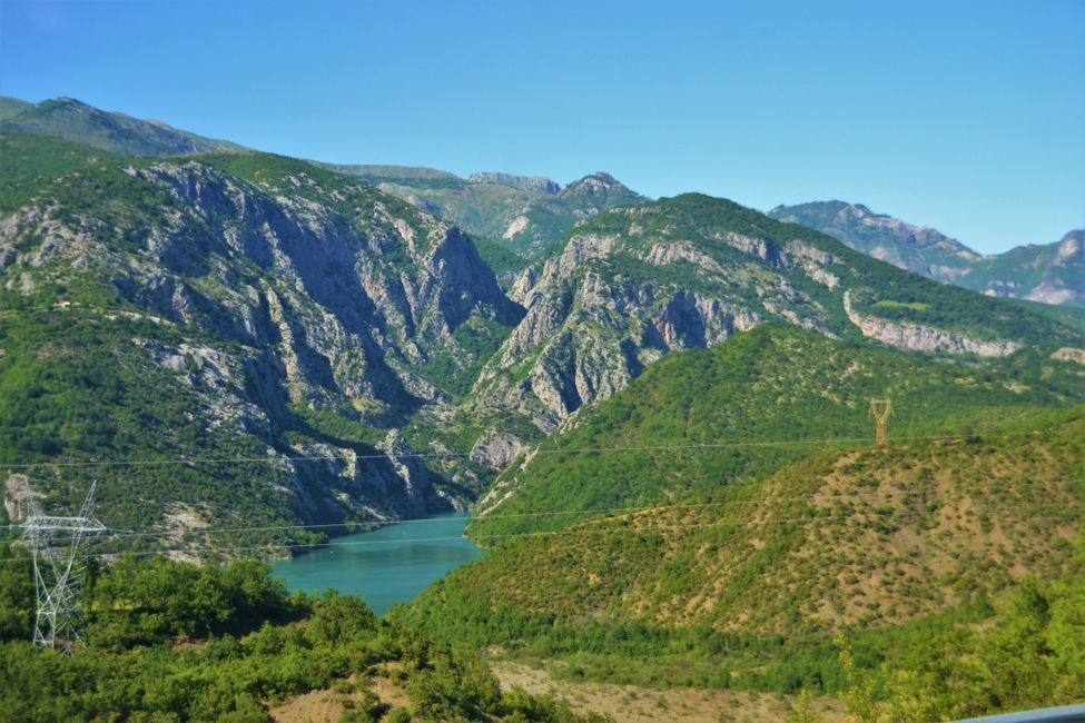
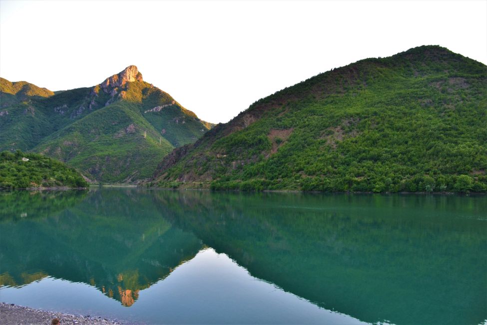
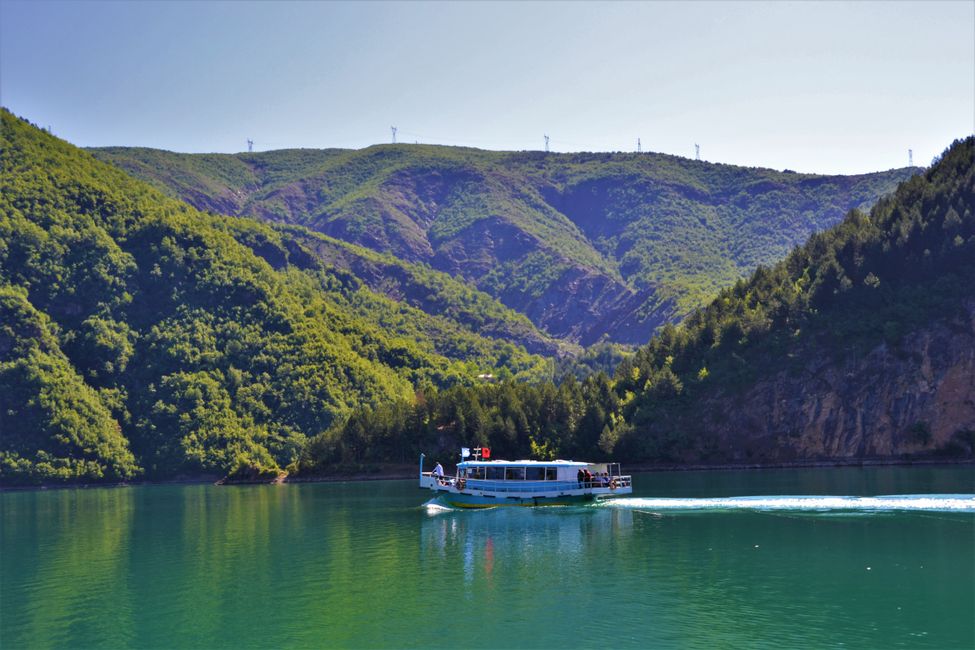
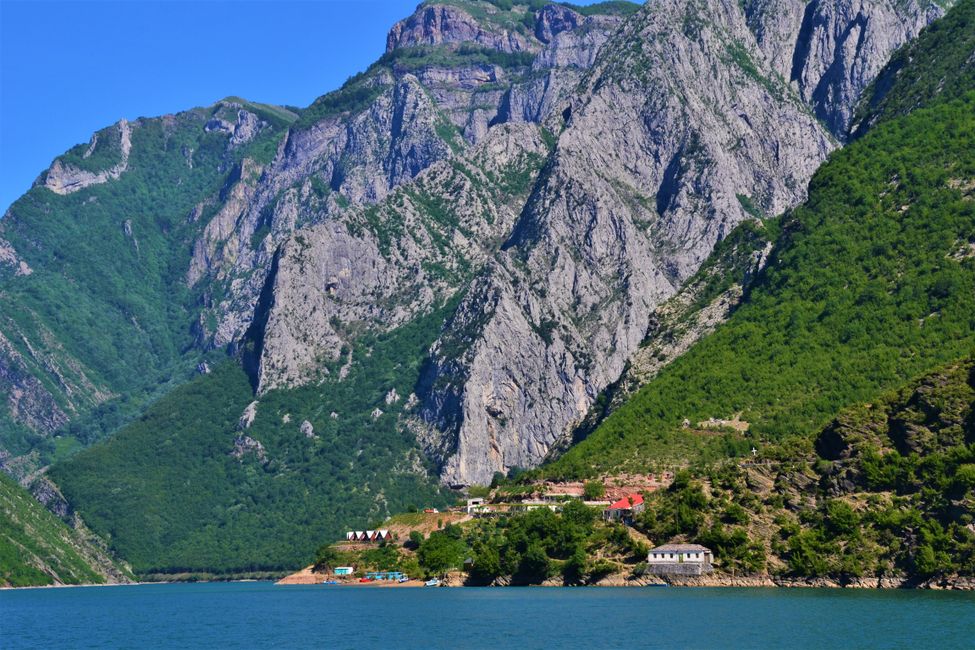
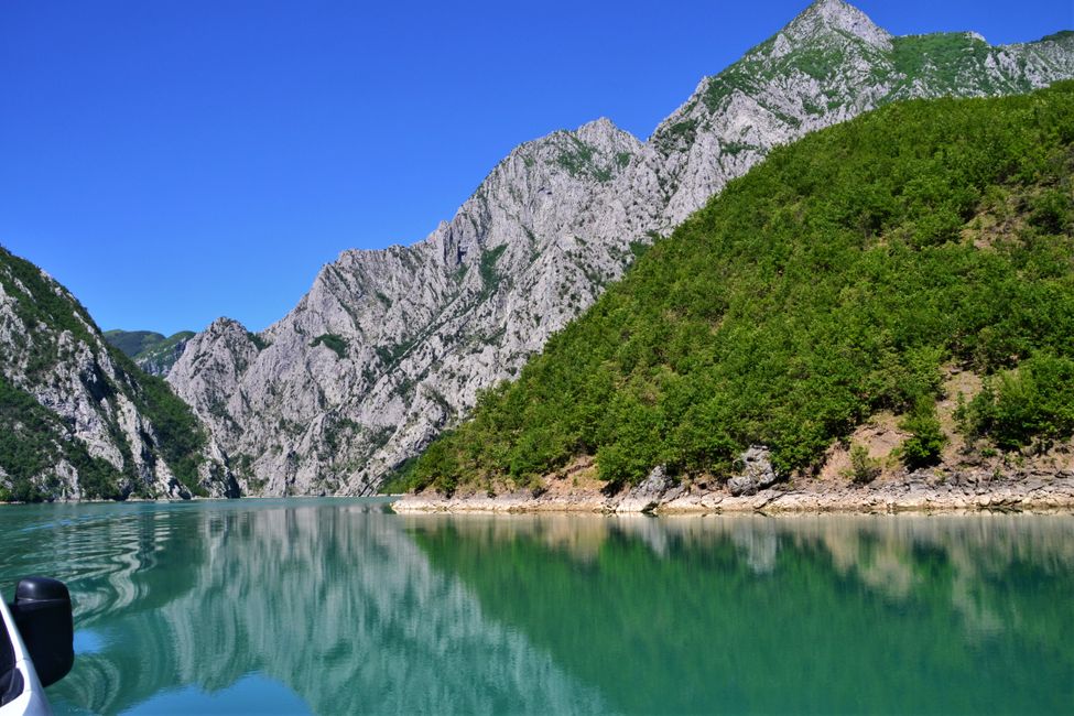
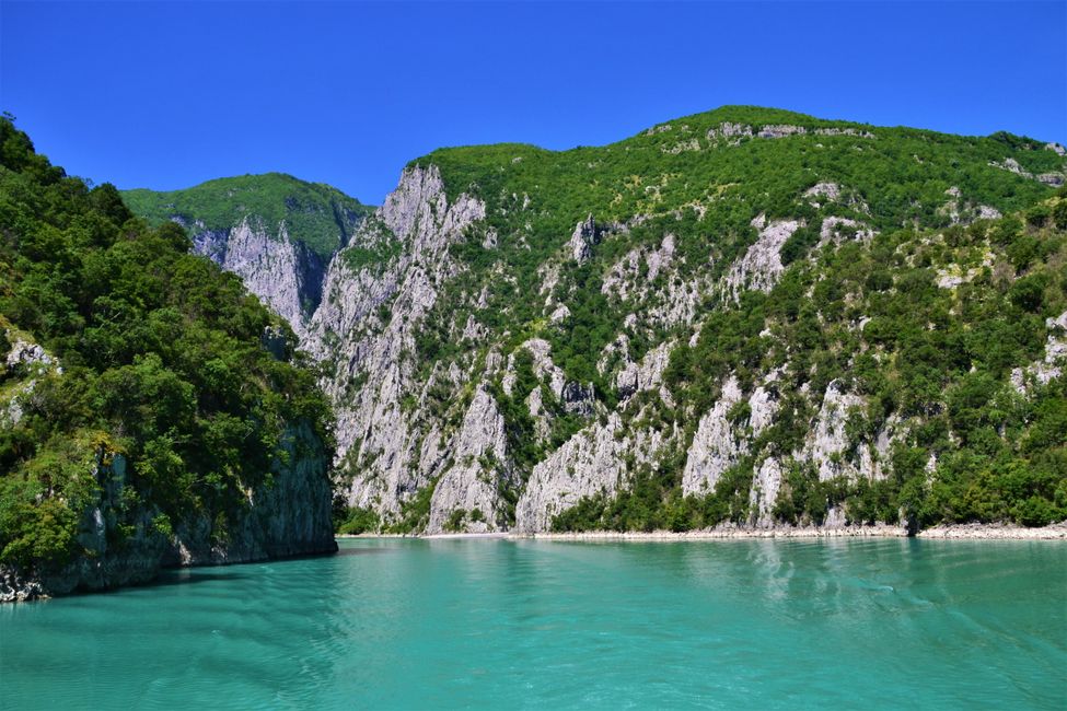
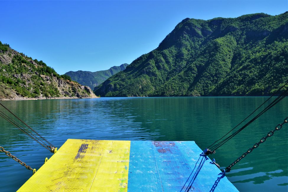
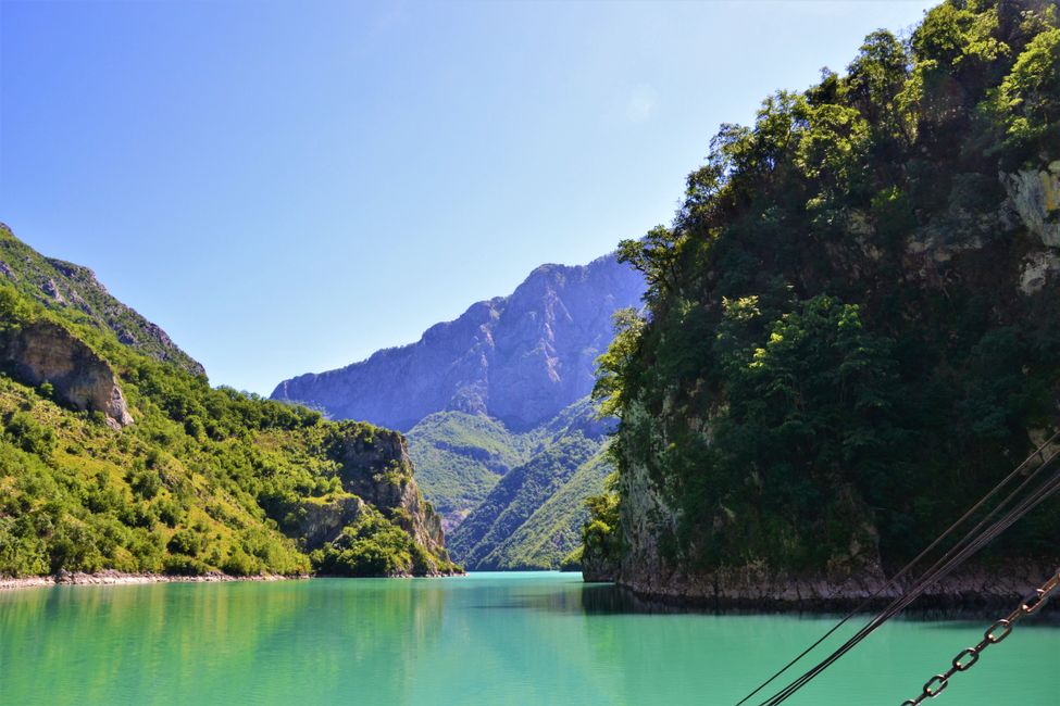
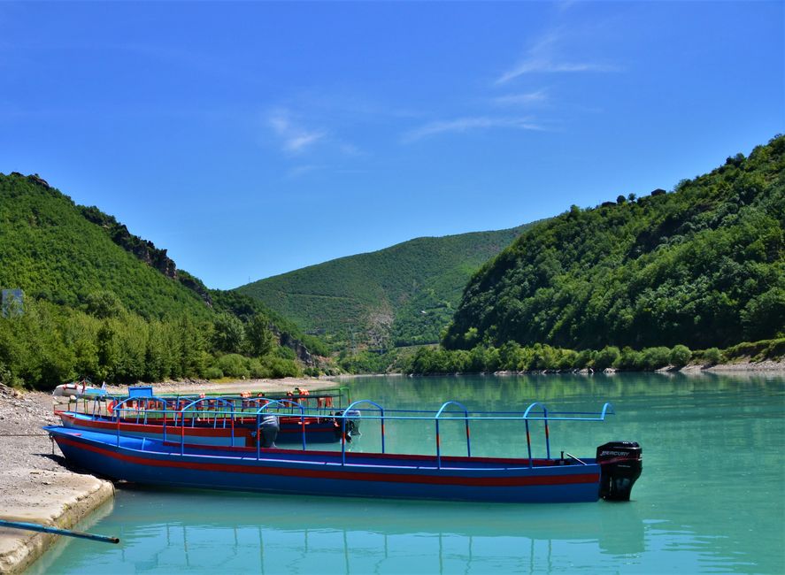
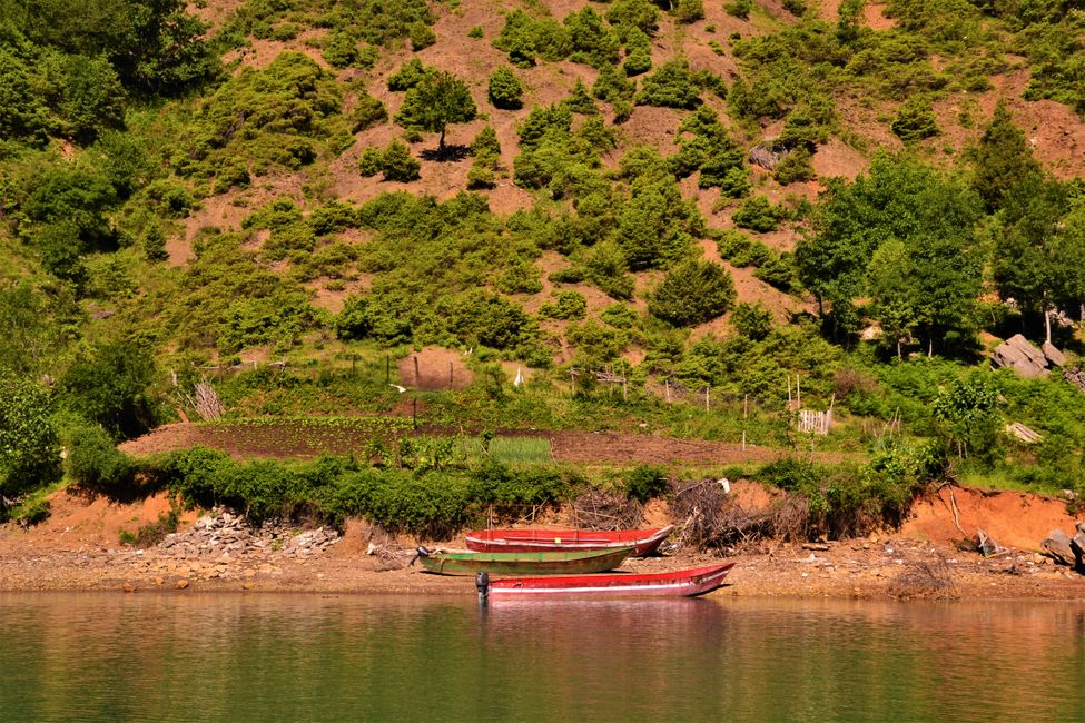
At exactly 9am, our ferry set sail, and we had a spectacular view of Lake Koman. This reservoir was opened in the late 1980s and has a capacity of 600MW.


The ferry is not exactly cheap for a camper, and there are also day trips on Lake Koman for pedestrians. However, since we wanted to visit the Valbona Valley afterwards, we decided to take our car with us.


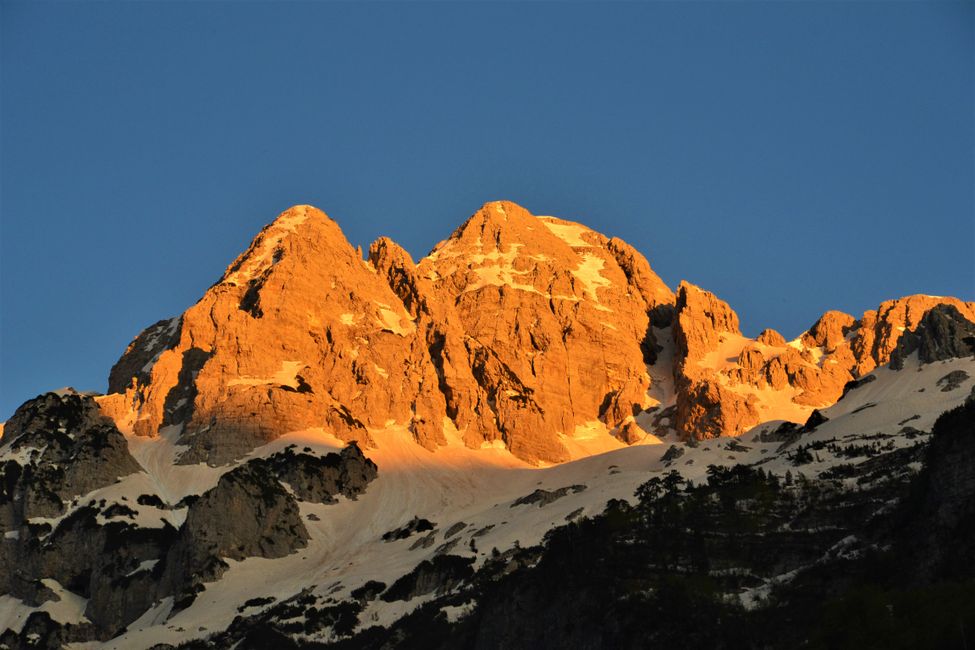
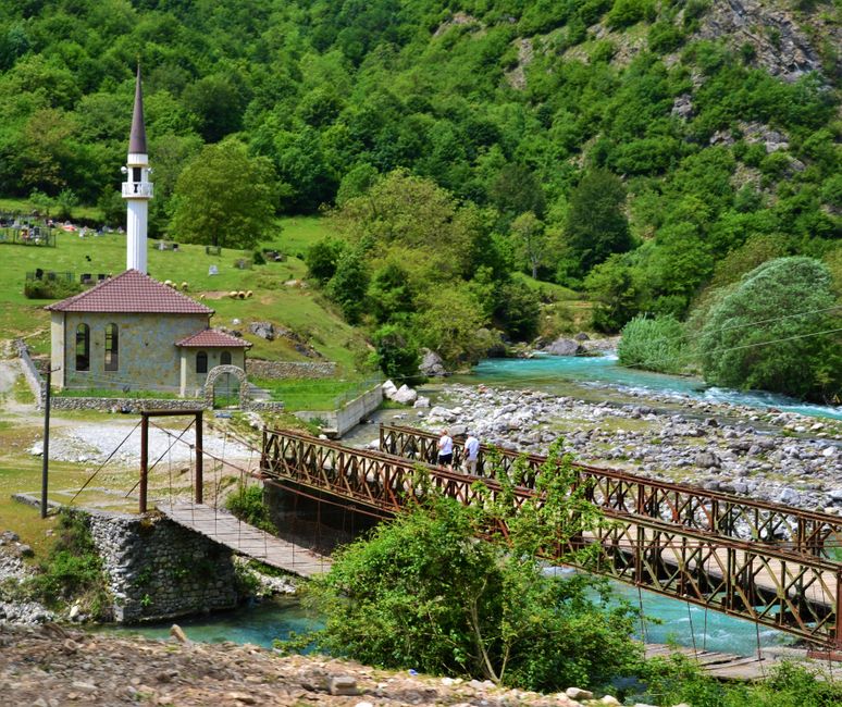
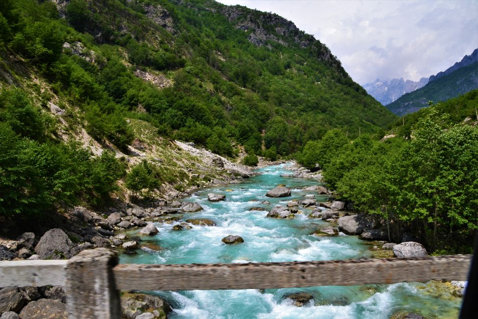
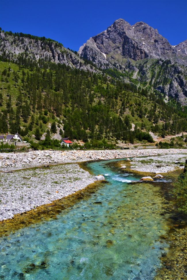
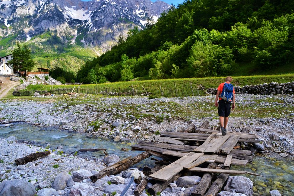
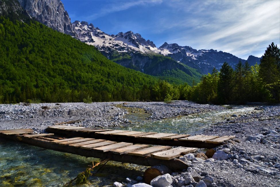
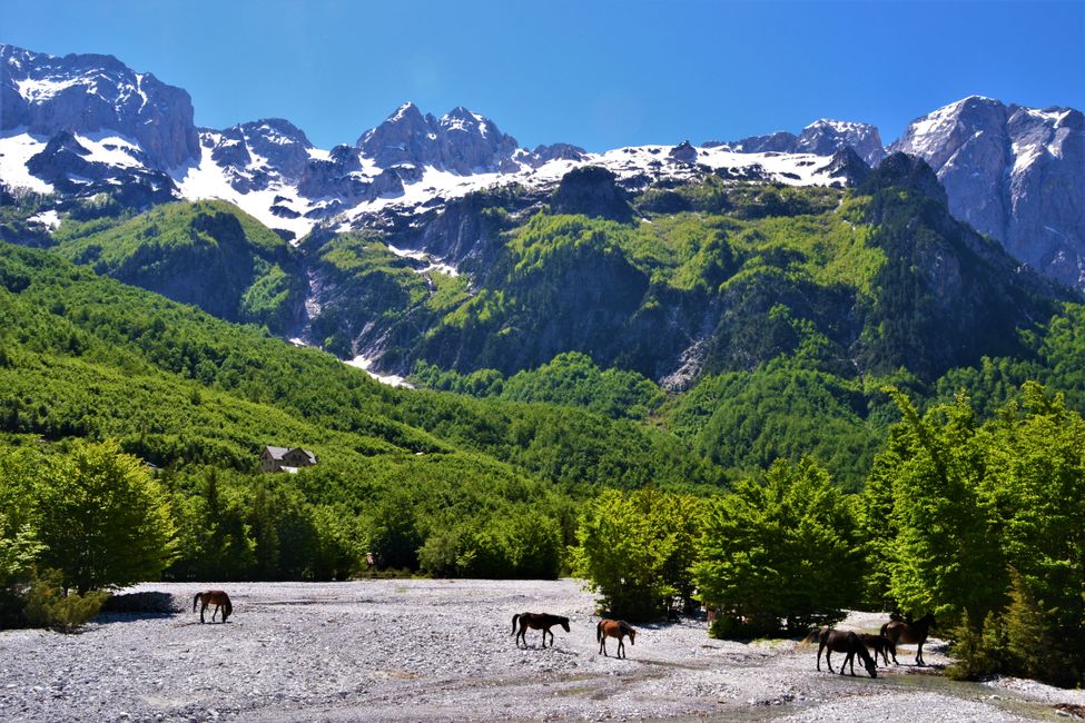
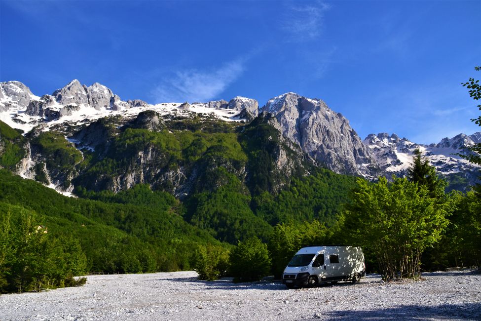
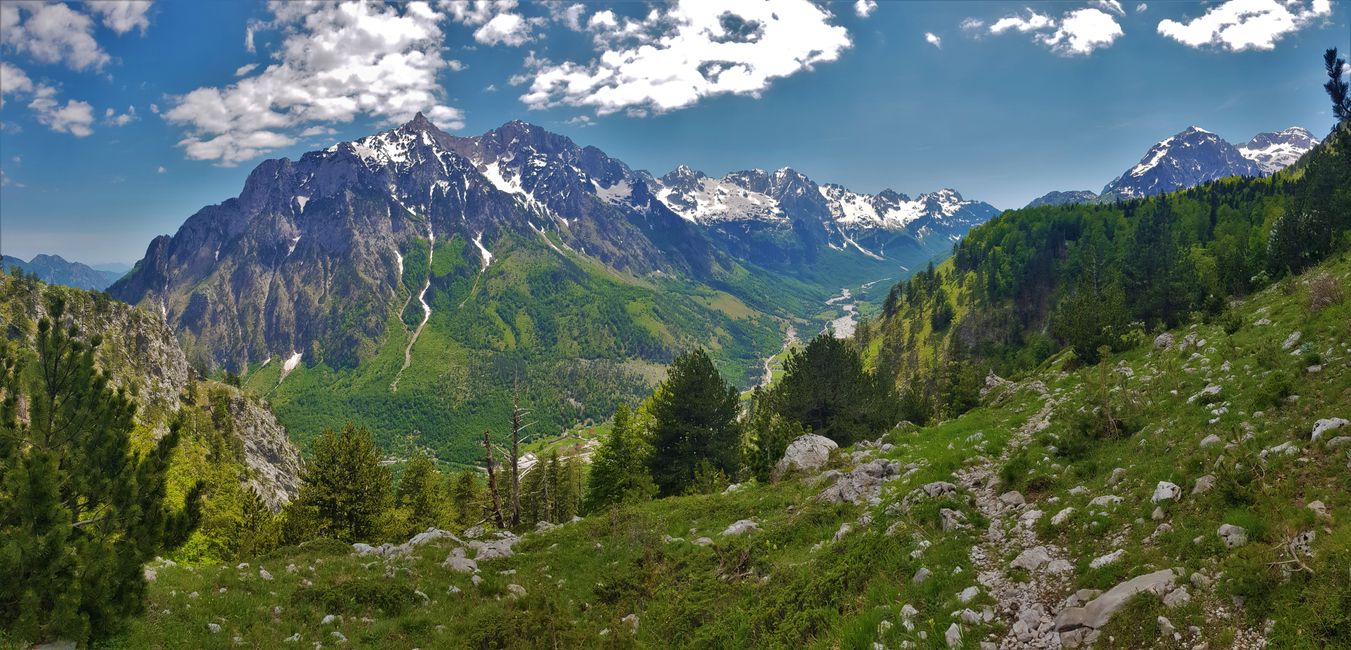
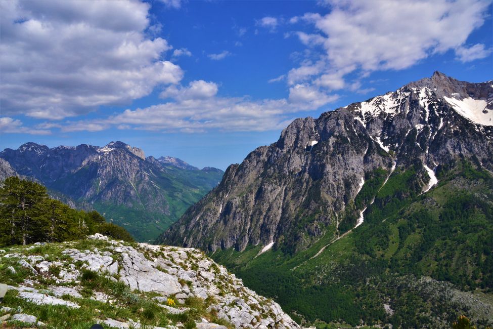
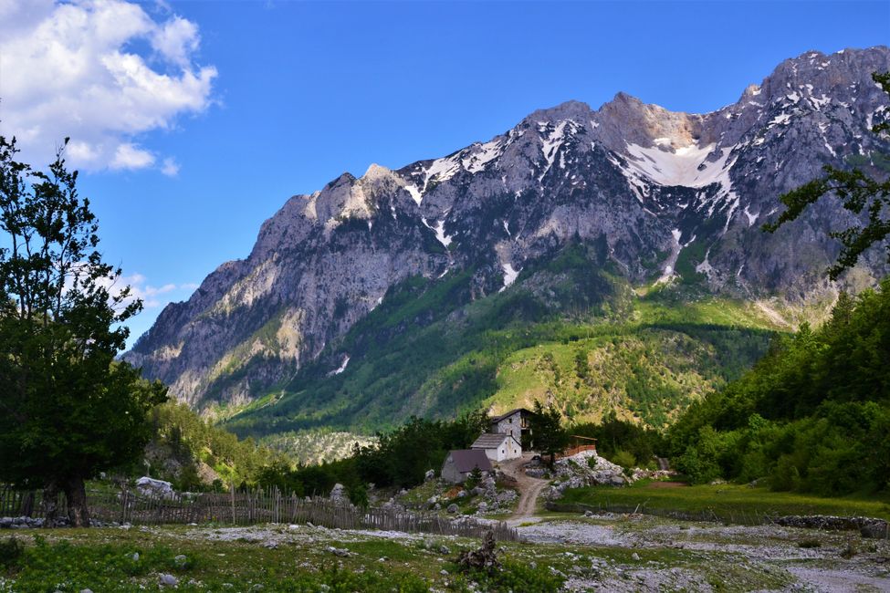
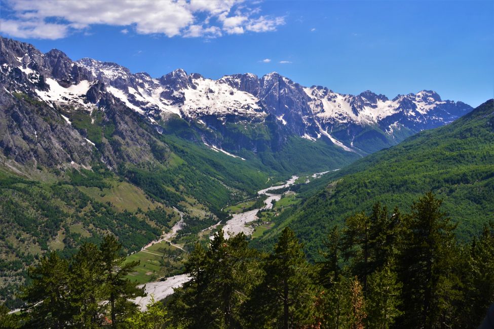
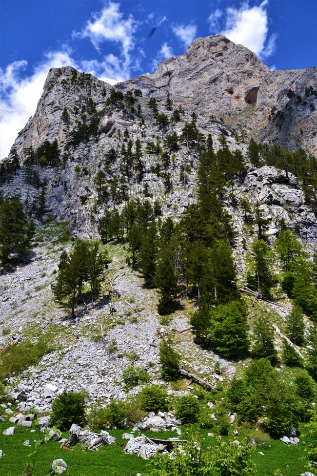
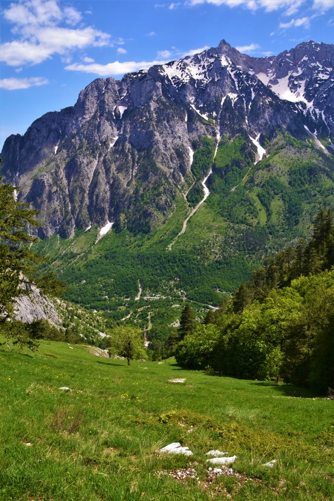
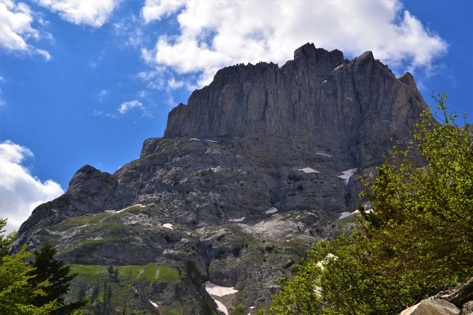
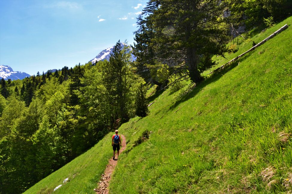
In Valbona, we stayed right on the Valbona River. It is fed by several sources, so it happens that it currently dries up in some places in the gravel bed and then later continues to exist through another source. Since the hiking trail between Valbona and Theth is still covered in snow, we decided to hike to the hills of Valbona instead. The 10km long route had approximately the following profile. 2.5 km on the paved road, 2.5 km steeply uphill (700 meters elevation gain), 2.5 km hiking along the mountainside, and finally, the steep descent of 700 meters. At the top, we were just below the border where there was still snow from last winter, and we had a beautiful view over the entire Valbona Valley.


Day 218 - Total tour 16,252 km
---- Subscribe ----
If you would like to subscribe to our blog, you can either sign up with Vakantio and click on subscribe, or send us a message and we will add you to our own distribution list. We also welcome feedback!
Email: querfeld2@gmail.com
Ku biir Wargeysyada
Jawaab
Warbixinaha safarka Albania
