Day 99: Walvis Bay - Between Atlantic and Namib
La daabacay: 02.02.2023
Ku biir Wargeysyada
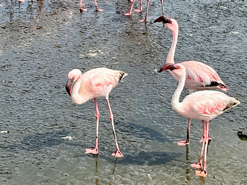
Walvis Bay is a port city on the Whale Bay in the Namibian Erongo region. It is located approximately 760 kilometers north of Luderitz and is the most important seaport in Namibia. There are about 65,000 inhabitants in the city area, making Walvis Bay the third largest city in the country. During the German colonial period, Walvis Bay was a British enclave in German colonial territory, and during the First World War it was briefly under German occupation. Today, the port and the fishing industry have the greatest economic significance. In addition, there are large salt fields around the city, where up to 400,000 tons of high-quality sea salt are harvested annually. The location on the huge natural lagoon, which is a fascinating bird paradise, is unique. Alone, 50,000 flamingos have already been counted at the same time.
Before leaving the ship, everyone must appear before the Namibian authorities with a passport and a completed landing card. The queue is long and it takes us at least half an hour, which is why we arrive at the meeting point for the booked tour slightly delayed. The 28 participants are divided into three minibuses. Our driver is Antony, the responsible person is Christiaan (with whom Irm has fixed everything), the German-speaking guide is Lesley, who provides lively and detailed information at the stops.
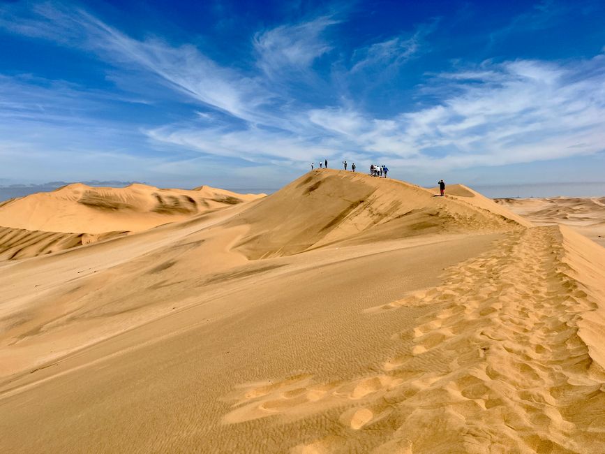
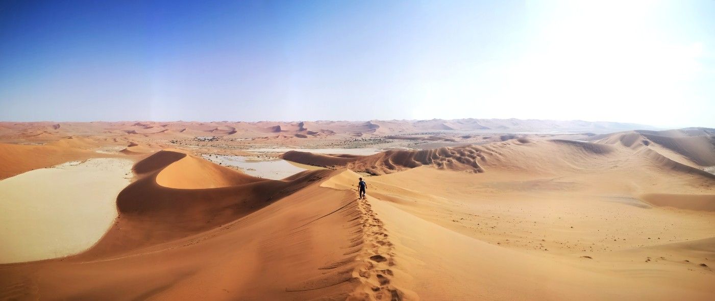
The first stage takes us to a salt extraction plant. Seawater is led into shallow basins and evaporates within 9 months, then the remaining salt can be harvested. We continue to the lagoon near Walvis Bay, which serves as a feeding ground for a large number of flamingos and allows us to get very close to them before we head to Dune 7 in the Dorob National Park, a sand dune with a height of 350 meters. Here, the Namib Desert borders directly on the Atlantic Ocean. If you like, you can climb the dune. Although we choose the long way along the ridge, it is very exhausting. I sink in or slide off again and again, filling my shoes with sand. But the view compensates me. Breathtaking panorama of the dune landscape with the ocean in the background. It's incredible that it can be so extremely dry right by the sea. We run back down the steep side, which is hardly less exhausting or faster, but it's simply more fun.
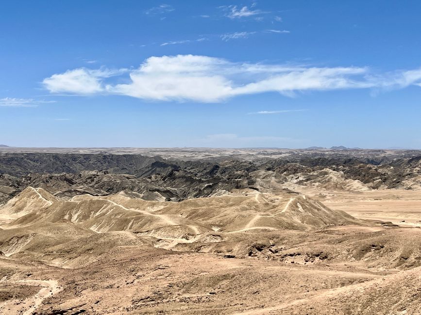
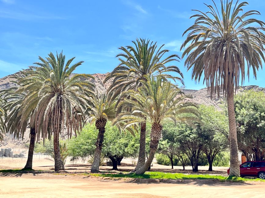
Now we have a longer stretch ahead towards Swakopmund. The road is first asphalted, then made of compacted salt and later pure gravel; dusty and rock hard. We are shaken vigorously. Just before the city, we turn off and follow the valley of the currently dried-up Swakop River inland. Suddenly, the view opens up to an extensive lunar landscape, which has been created by erosion of different hard rock types, looking bizarre. A picnic is set up on the plateau and we can enjoy the landscape with snacks and drinks. Satisfied, we drive on a winding path that leads deep into the rocky desert and ends at a green oasis with palm trees and other vegetation. Surprising and at the same time impressive with the huge rock formations in the background.
From the oasis, we go to Swakopmund. There is free time to buy local souvenirs, stroll along the beach, including the historic wooden jetty, or take a quick swim. We enjoy the hustle and bustle with beer and ice cream. In contrast to South Africa, there are hardly any fences here, the city looks clean, and German can be heard or read everywhere. The history of "German South-West" is also clearly evident in many buildings and the overall appearance of the city. Nevertheless, it remains clear that everything in Namibia has to be irrigated, otherwise there is only desert.
Ku biir Wargeysyada
Jawaab
Warbixinaha safarka Namibia
