Day 07 - Return from Kinnarodden to Mehamn
Byatangajwe: 30.06.2024
Iyandikishe mu kinyamakuru
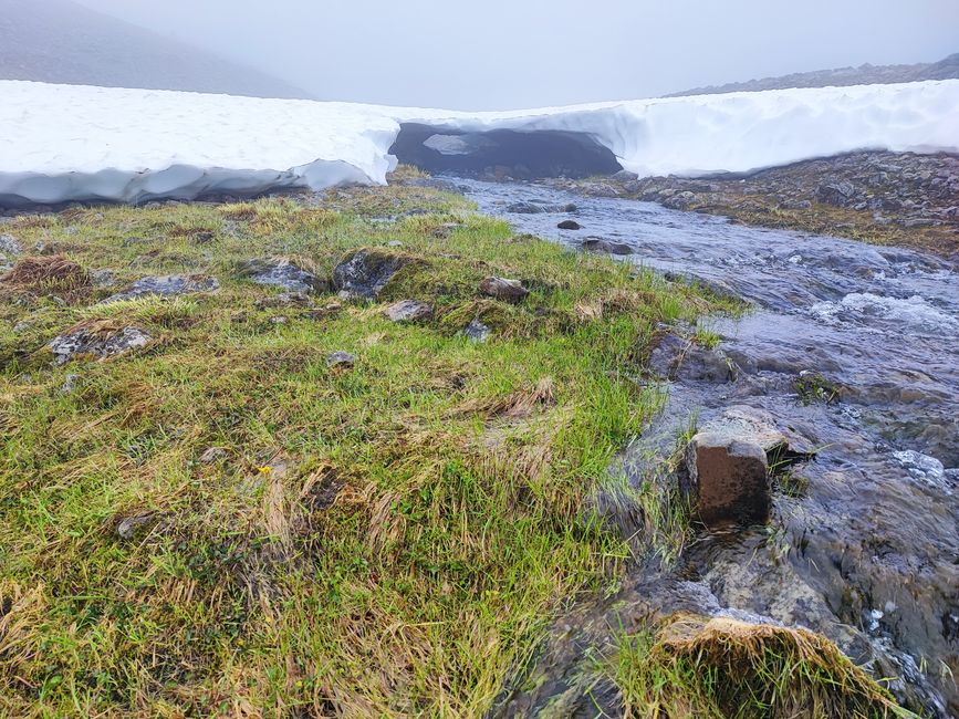
On the morning of the third day we woke up to rain, luckily only lightly and not for long. But that meant we had to take down the tents while they were still wet. There was also fog today, which was to stay with us almost the entire day. It was a shame for the visibility, but on the other hand we had to cover most of the kilometers today if we didn't want to spend another night in the tent.
On the way back we followed a different route that was available to us. This saved us from a few particularly difficult scree fields, although not all of them. During the day we used the partially available cell phone reception and contacted the host for the following night. Firstly, we didn't know in advance whether we would make it to 9 p.m. within the official opening hours and secondly, we wanted to extend our stay by a second night because we would definitely need a day of regeneration. Luckily, everything worked out.
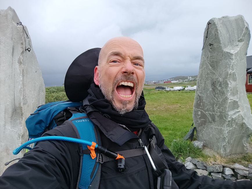
Conclusion: At the end we had 57 km on the clock and about 2400 meters of elevation. Our advance information had said that the route would be about 50 km, but it is almost impossible to always follow the ideal line when you are on the road. Too often you have to adapt your route to the conditions.
Would I do the tour again? Definitely not! The phases of the three days went from "Oh shit" to hell and finally to heaven after you've made it.
But the tour also had its positive aspects: the magnificent landscape, the silence, the reindeer sightings, how we supported each other as a team and of course somehow having mastered this absolute extreme experience in the end. This tour was paid for with blood, sweat and tears in the truest sense of the word. But no one can take this experience away from us.
In the evening at our accommodation in Gamvik we ate an oven pizza. It felt like the best meal in the world. 😎
PS: One of my travel companions made a teaser video. See link below:
https://www.dropbox.com/scl/fi/58hte9ejtb24hzrqj4uyj/1719744808550.MOV?rlkey=s7g5gbqofxlnxicmuk18at4ub&e=1&dl=0
Iyandikishe mu kinyamakuru
Igisubizo

Raporo yingendo Noruveje


