The Tongariro Alpine Crossing
प्रकाशित: 24.10.2018


समाचारपत्रको सदस्यता लिनुहोस्
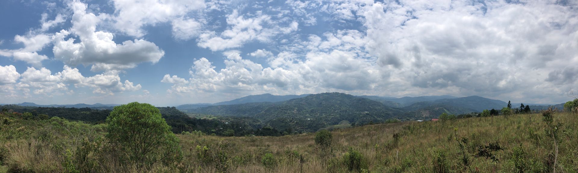
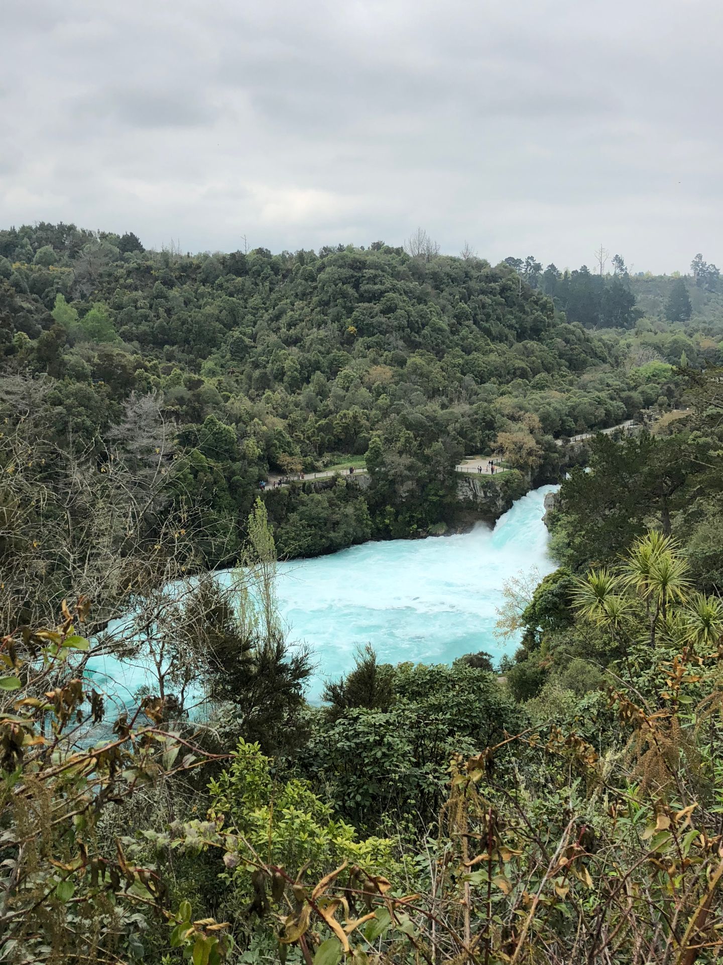
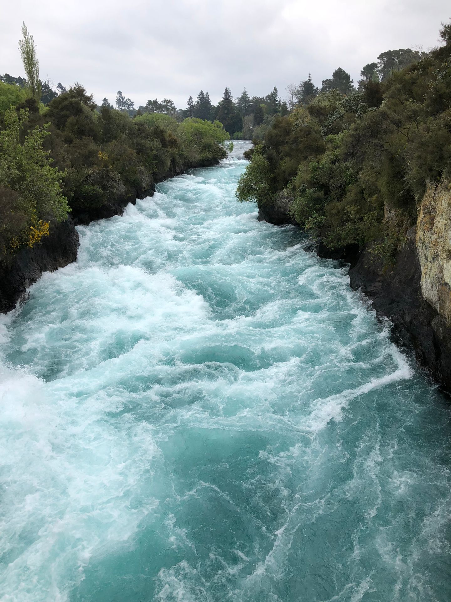
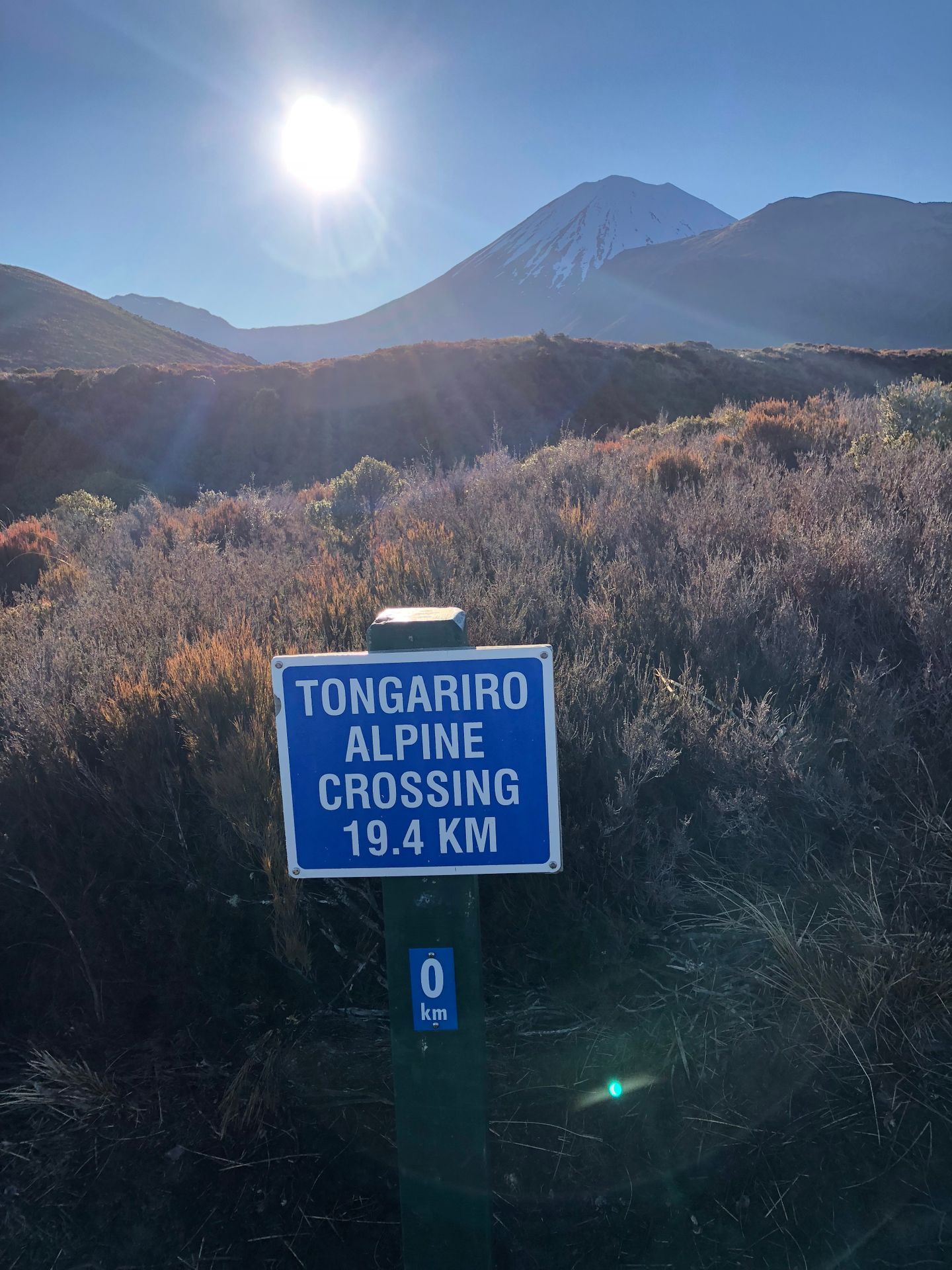
Today was finally the day and the next big challenge for my mind and body. After climbing Table Mountain in South Africa, it was time to push myself to my physical limit and beyond once again. But let's start from the beginning. After spending another night in Rotorua, I set off the next day in my camper towards Tongariro National Park. This national park is known for its several partly active volcanoes. Volcanoes and their activities have fascinated me for a long time, and after climbing two active volcanoes in Indonesia, I was intrigued. On the way there, I accidentally passed by the beautiful Huka Falls and also made a longer stop in Taupo, a small town by New Zealand's largest lake. My goal was to hike the Tongariro Alpine Crossing on Wednesday. I discovered this hike during my initial research on New Zealand, and I was immediately excited and fascinated. I knew that it would be a huge challenge for me, and I knew right away that I had to stop there. Furthermore, it is one of the most beautiful and famous hikes in New Zealand and a UNESCO World Heritage Site. But to accomplish this, some planning was still necessary. I visited the tourist information in Taupo and inquired about the weather conditions for the next few days. In addition, I bought a Merino wool t-shirt that I wanted to wear for the hike. In the past few days, I had already bought a hat and suitable pants combination. Because the hike would go uphill, even very high. To be precise, it would go up to a volcanic landscape in the middle of the national park. Since there was still snow up there and the weather conditions can change suddenly, I preferred to be prepared. In Rotorua, I had already taken care of the food, so I arrived in the afternoon at a campsite near the crossing and packed my things for the next morning. This morning at 5:00 a.m. the time had come. I was so excited that I felt wide awake already at 3:00 a.m. So I quickly brushed my teeth and headed to the parking lot for the hike. Since it is not a circular hike but a point-to-point hike, I planned it so that I parked my car at the destination and took a bus shuttle to the start. The shuttle, which I had booked in advance, took me towards the start at 7:00 a.m. I quickly went to the toilet again because there were only a few toilets on the hike. And at around 7:45 a.m., I started walking. For weight and space reasons, I didn't bring my camera,
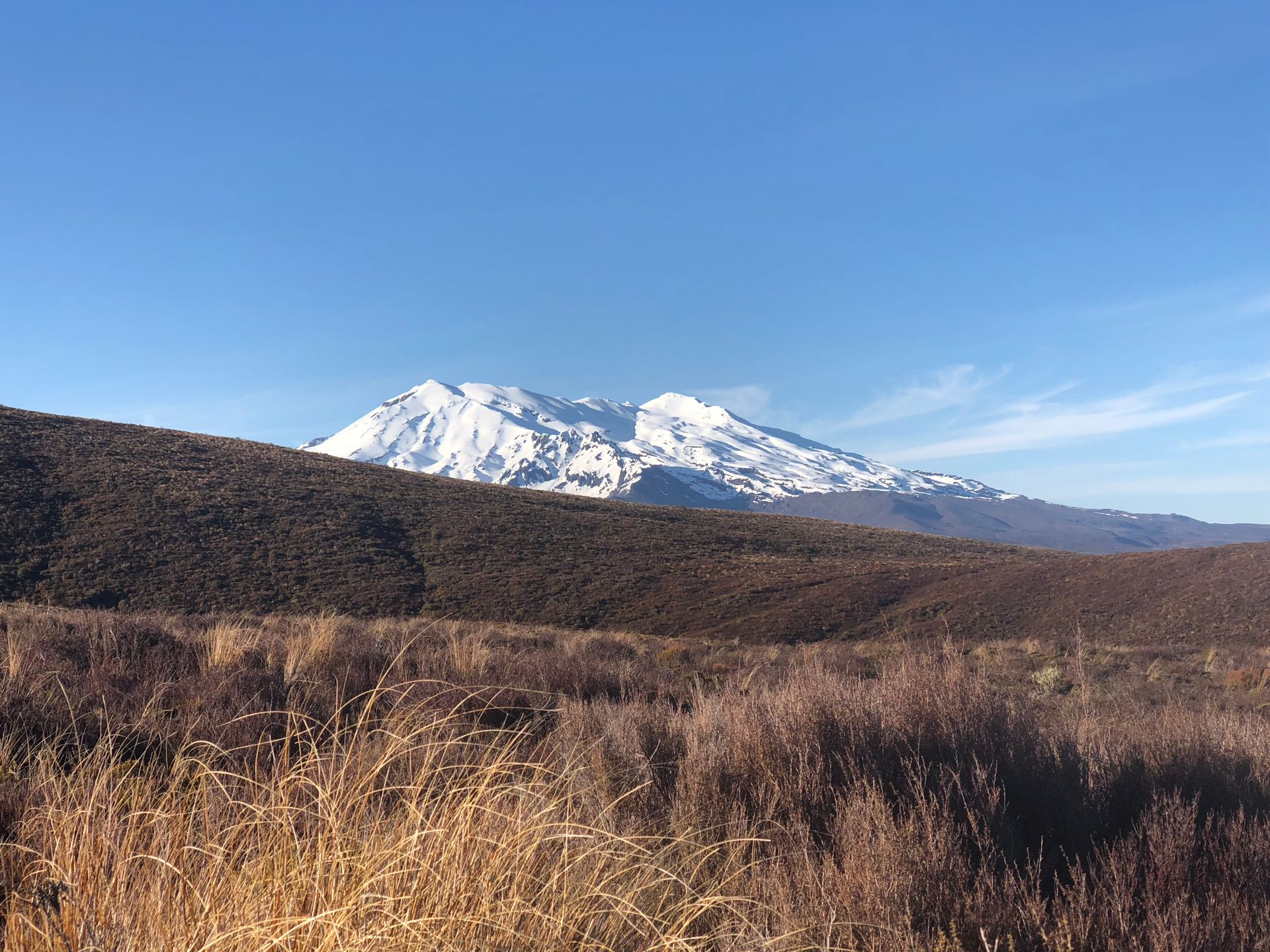
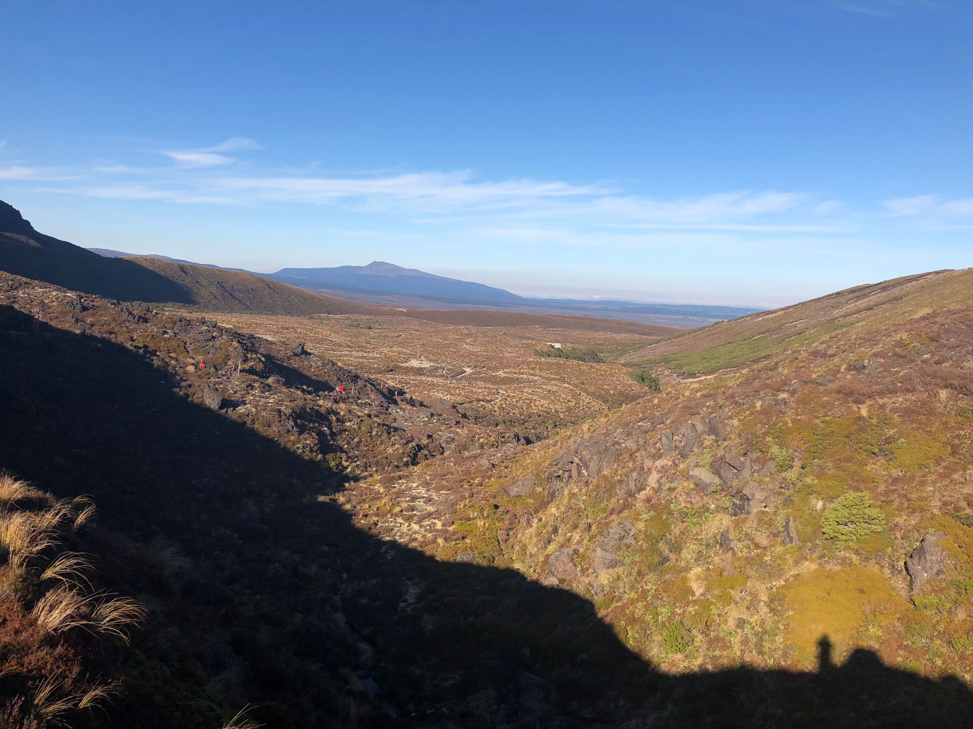
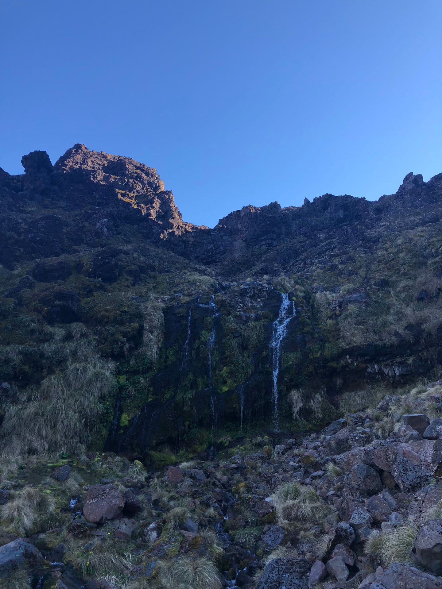
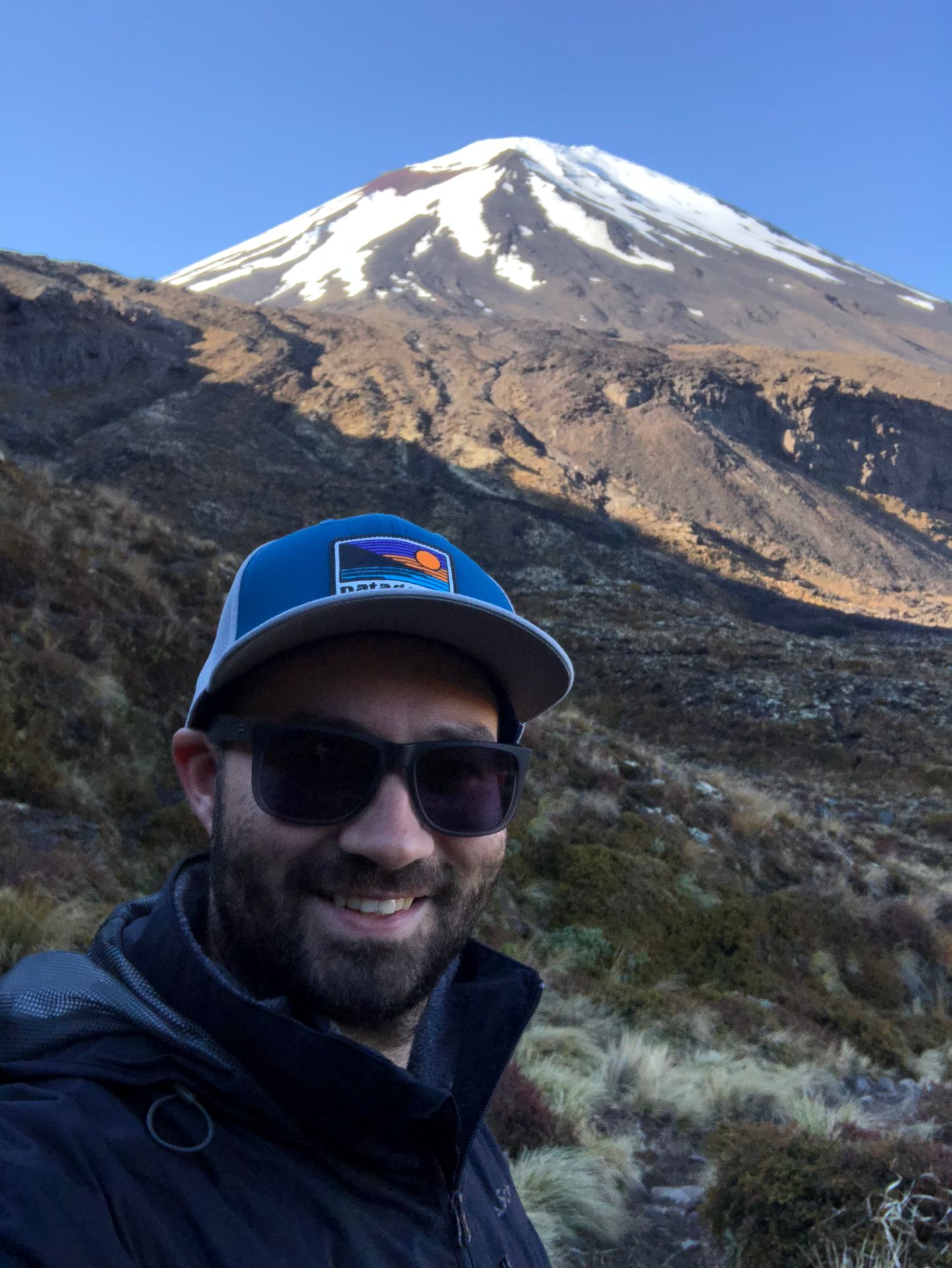
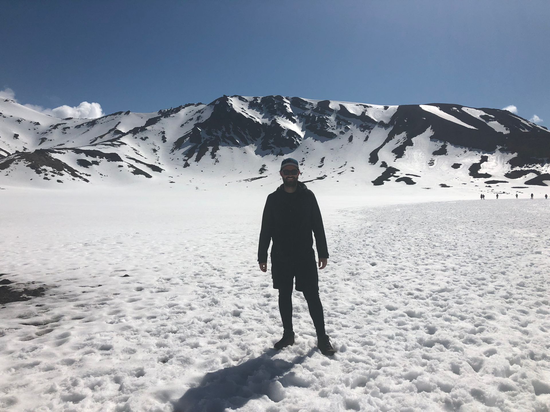
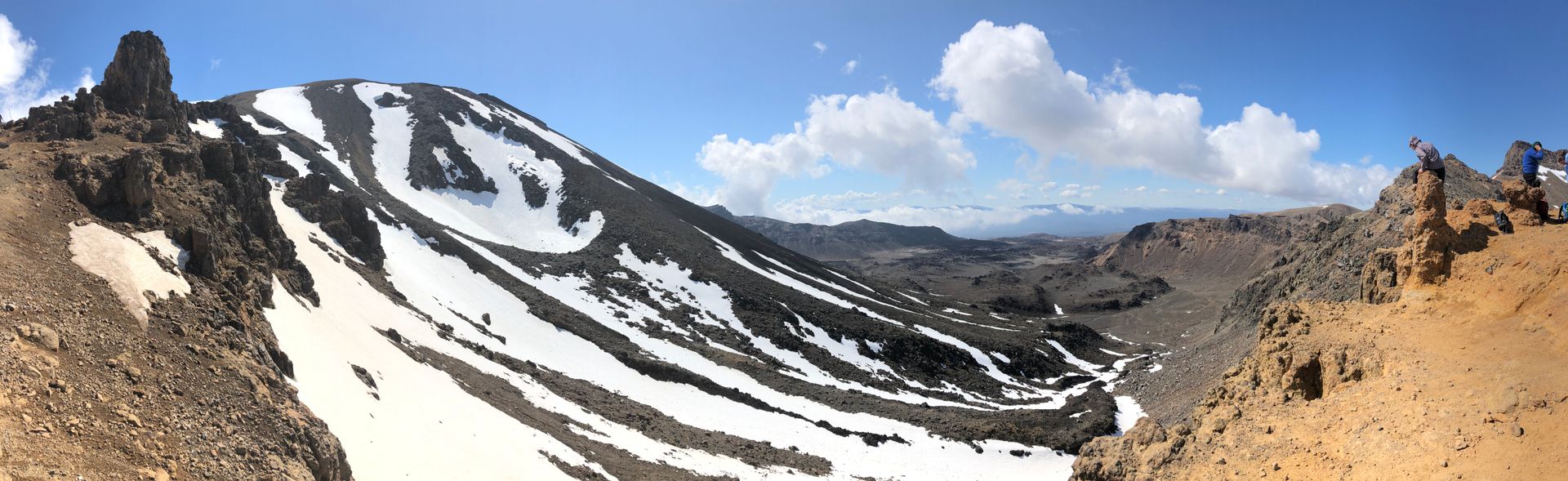
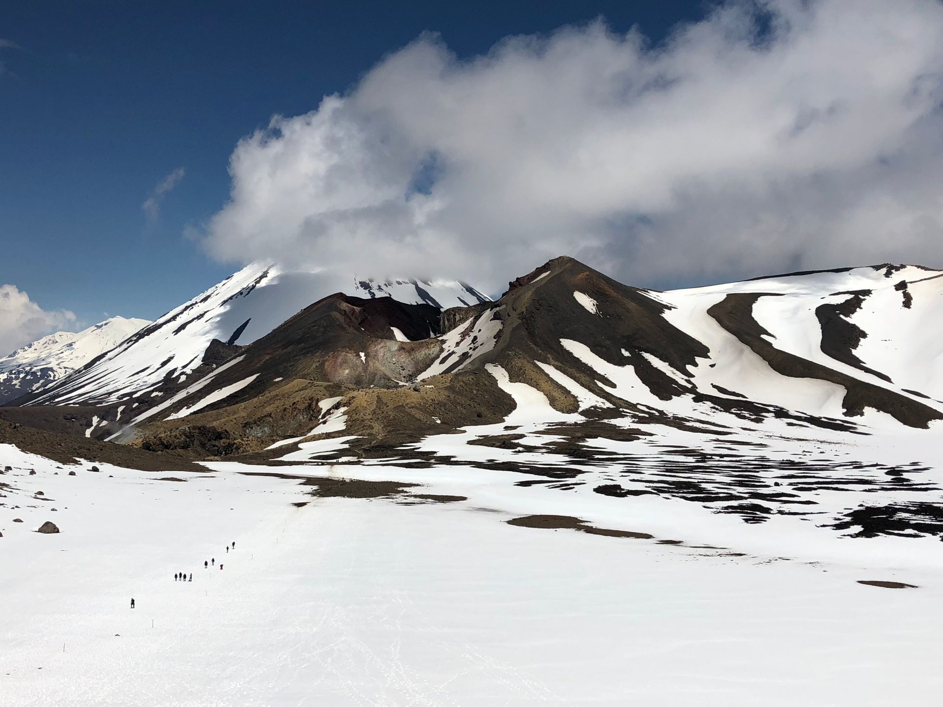
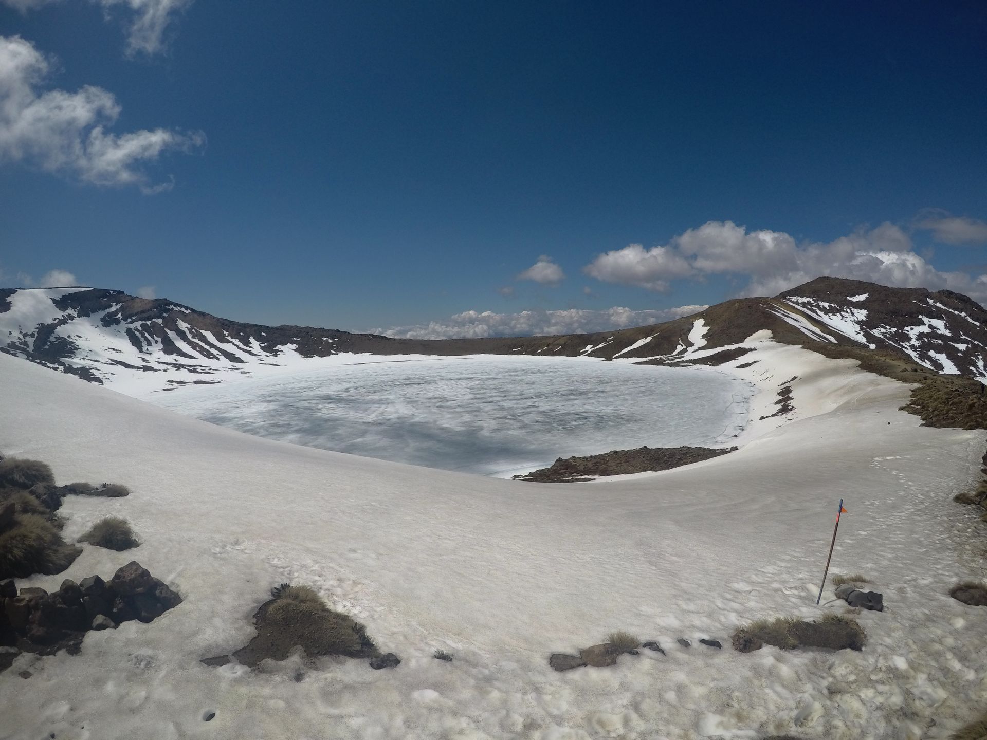
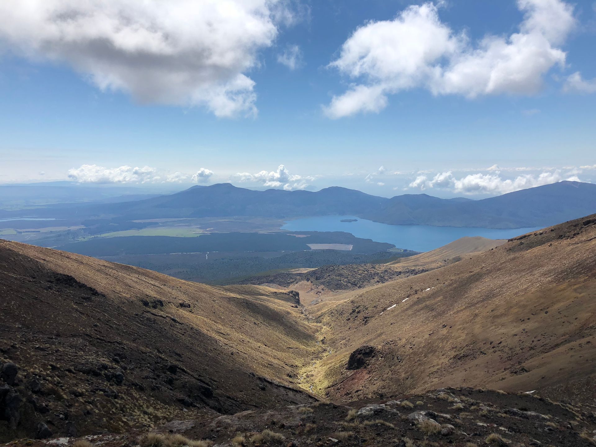
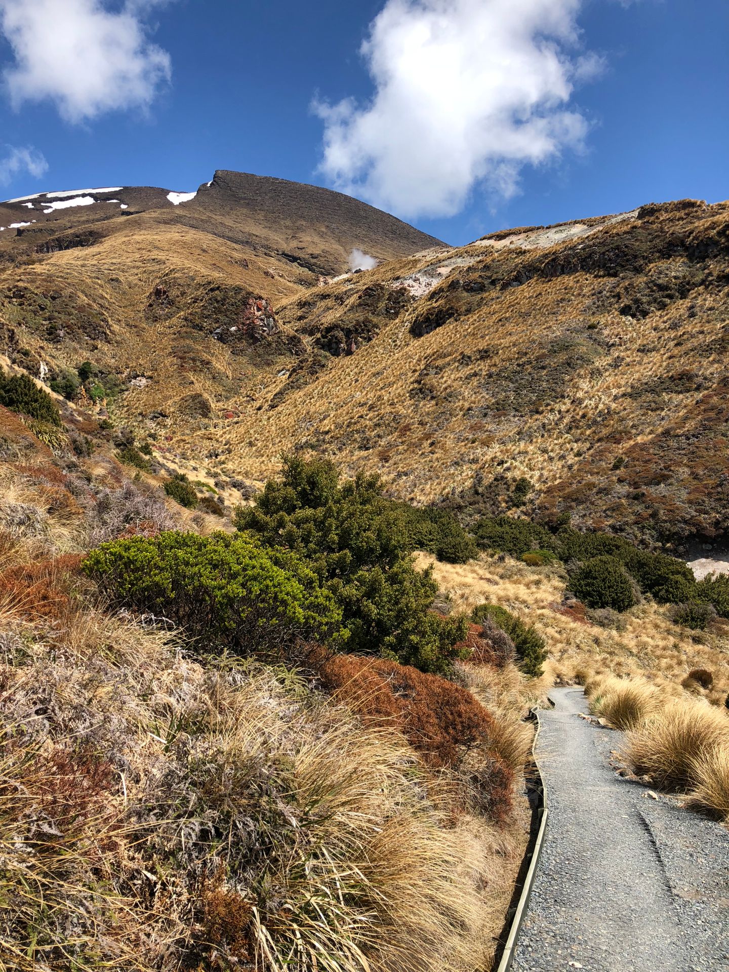
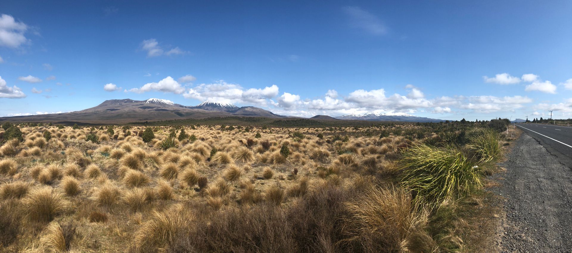
the pictures I took were taken with my phone and my GoPro. A total of 19.4 kilometers and an elevation difference of +/- 1196 meters had to be covered. I started at an elevation of 1100 meters. The Red Crater was the highest point and was at an elevation of about 1900 meters, and the destination was at about 800 meters. The first two kilometers were slightly uphill, and I reached the Soda Springs, a small waterfall, quite quickly. There I took my first longer break and had breakfast. Then it quickly became extremely challenging, and I had to overcome a lot of stairs and rocks. The higher I climbed, the more barren the landscape became. The view behind me left me amazed time and time again. When I finally reached the South Crater, a beautiful snowy landscape stretched out in front of me. To the right, I could see the volcano Mount Ngauruhoe with its impressive volcanic cone. Now I had to make my way through the knee-deep snow that was still on the South Crater and then up to the Red Crater. Chains had been attached for this section to pull yourself up. It was a really steep and extremely strenuous task. I reached the Red Crater around 11:15 a.m., and it would be the highest point of my hike. I had already covered a total of 8 kilometers. The view from up here was breathtaking, and I was lucky with the weather as there were hardly any clouds in the sky, and the sun was shining. After passing several crater lakes, I had to overcome the next snow-covered crater, the Central Crater. I kept looking back and could see the other hikers sliding from the Red Crater to the volcanic lakes, the Emerald Lakes, over hardened ash and volcanic rubble. I was glad that I had already completed this section. After also walking the Central Crater, it was mostly downhill from there. I had to descend what felt like thousands of steps. But in doing so, I walked through a very barren landscape. This section felt like it dragged on and on and just didn't seem to end. By now, my feet were hurting a lot, and the rest of my leg, which called itself a leg, was also sore from constantly going downhill, braking, and compressing. Just before the end, there was a short section through a forest, and around 3:15 p.m., I finally made it. I reached the Ketetahi car park after 19.4 kilometers, completely drenched in sweat and with several blisters on my toes. From there, it was only one kilometer to walk to the car park where my camper was parked. What a feeling to have been up there and to have successfully faced this huge challenge for me. The next few days will now be dedicated to healing wounds and hoping that the muscle soreness won't kill me. And as a beautiful and wise woman once told me: I only walk 19.4 kilometers through New York. Oh yes, if at all, the next 19.4 kilometers in a row I will probably walk in a flat world metropolis :)
समाचारपत्रको सदस्यता लिनुहोस्
जवाफ (1)
Gerdi
:-*
यात्रा रिपोर्टहरू न्युजिल्याण्ड