Road trip to Puerto Viejo Part 1 - Cartago & Turrialba (02/15/2022)
ထုတ်ဝေခဲ့သည်။: 16.02.2022
သတင်းလွှာကို စာရင်းသွင်းပါ။
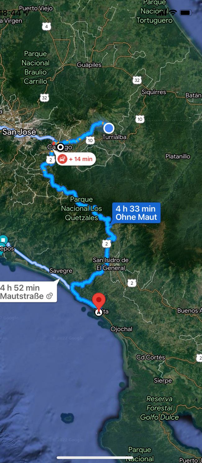
There's a lot of road ahead of us, about 210 km, lots of altitude meters, and about 4.5 hours of pure driving time. After a refreshing morning dip in the pool and a birthday call with our dear Kathi R., we started pedaling with Kim Lee. After a short stop at our trusted laundry dealer (with the 10-year-old son as an interpreter), we continued on good roads, steadily uphill. Slowly, we began to realize that we must be very high up, partly due to the constant drop in temperature.
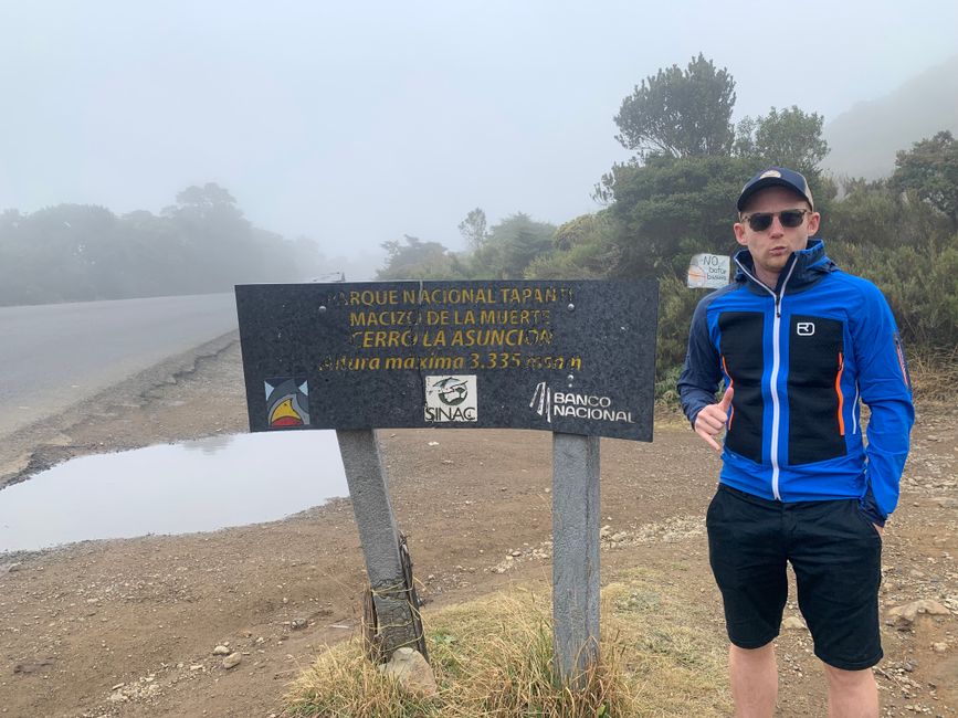
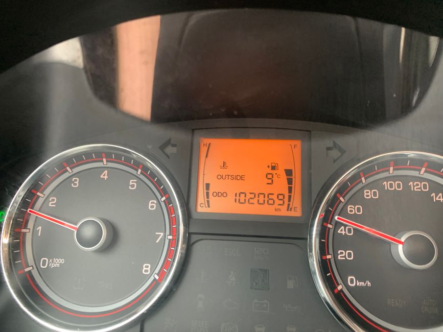
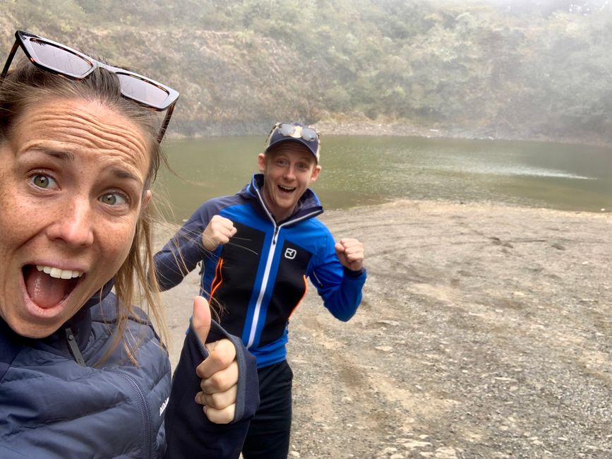
At a viewpoint indicated by Google Maps, we found a parking lot and a marking for a national park, Parque Nacional Tapanti. The Cerro la Asuncion, the next "peak" at a whopping 3,335 meters, would have been a 15-minute walk away. This meant that we had covered over 3000 meters of altitude with our dear Kim Lee mobile since Uvita. Unfortunately, the dense fog ruined it for us as there was practically no visibility, and due to the fog, it was only 9 degrees. Fresh from sea level wearing shorts and t-shirts, the motivation for a little extra hike was rather limited.
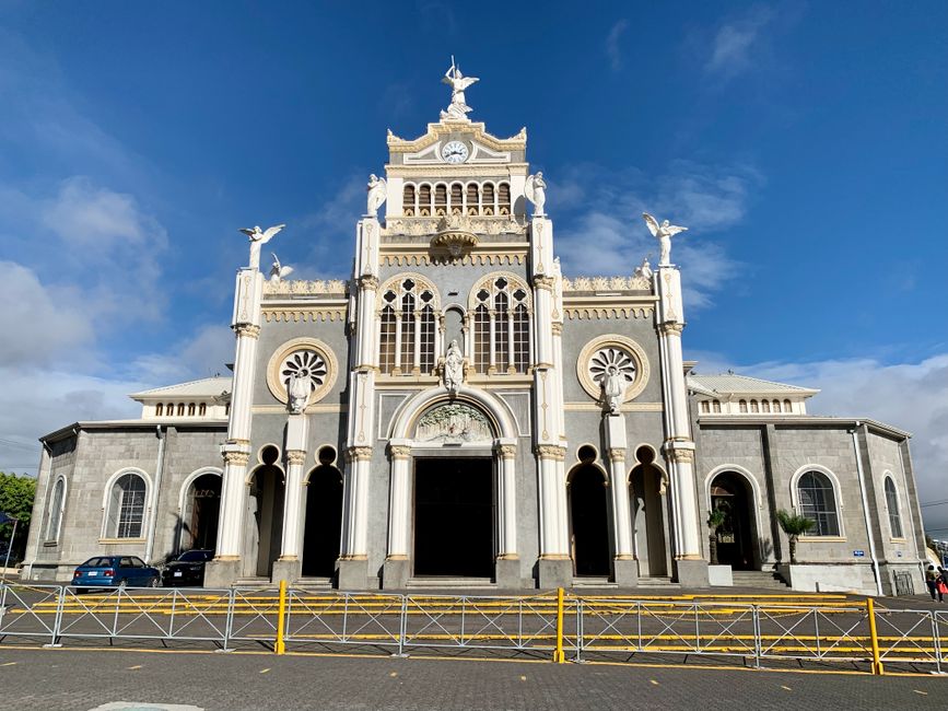
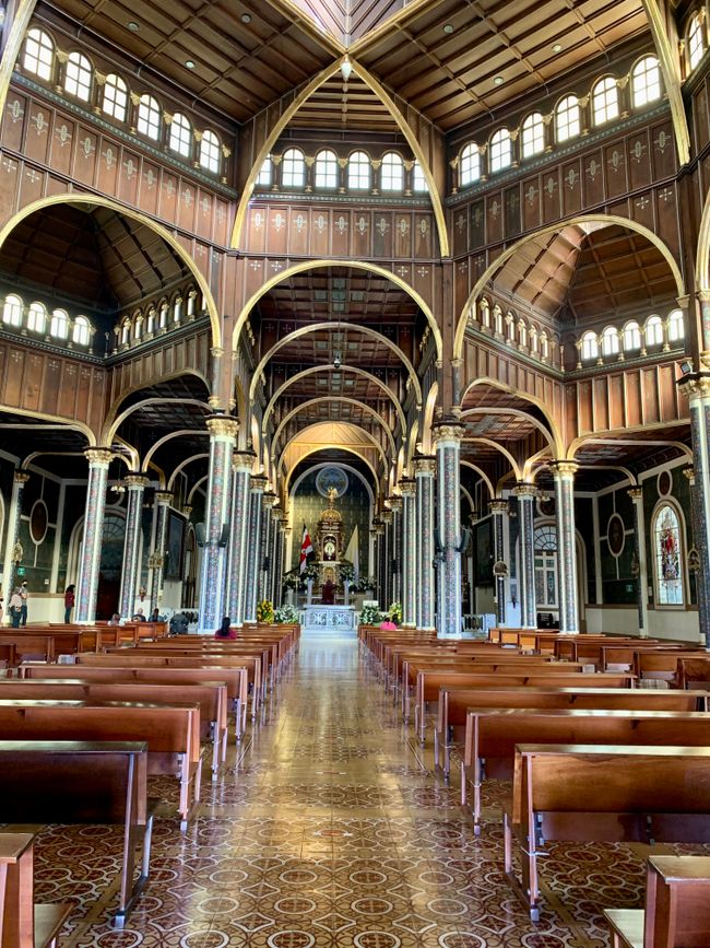
After the refreshing experience and already over 3 hours of driving, Johannes managed to convince Kathi to stop at Cartago, perhaps due to the big hunger and lack of breakfast and lunch, at McDonald's. It has become a kind of ritual for us to visit McDonald's once per country to explore the differences, and in today's case, also to have some food. More or less strengthened, we then headed to the city center of Cartago, the third largest city in Costa Rica. We made a detour to the Basilica (Basilica de Nuestra Señora de los Ángeles), a magnificent building in Byzantine style and one of the most important architectural structures in Costa Rica.
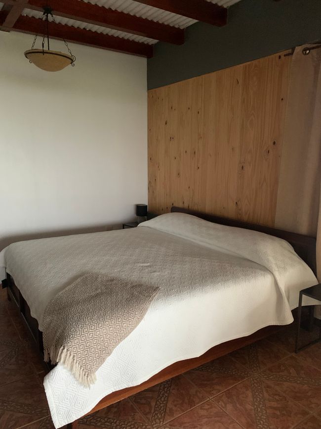
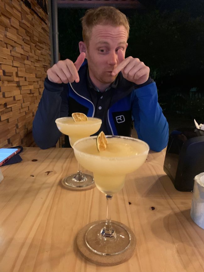
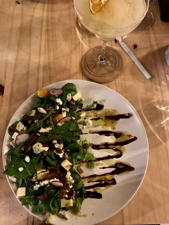
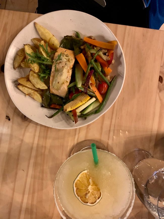
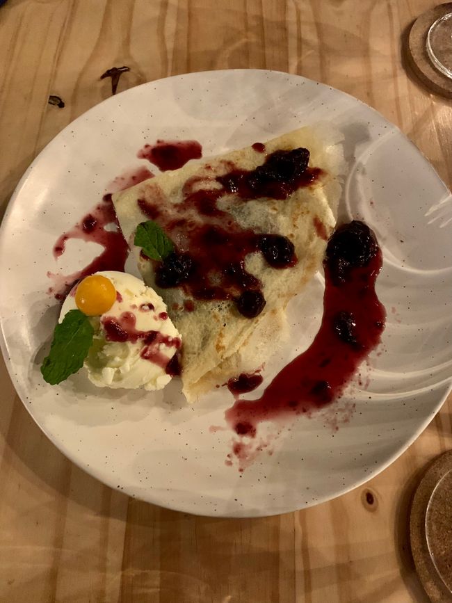
After leaving Cartago, where it was relatively easy to navigate through the traffic, we encountered the roads of the first few days in this country again. A collection of potholes made the last 40 km take over an hour of driving time to reach our accommodation. However, it gave us a good insight into a completely different part of this diverse country, with lush green areas nestled in beautiful mountain landscapes. Arriving at our accommodation, located on a mountainside just before Turrialba, it was already pouring rain. We settled into our quarters for the night. The successful end to the day was the (small) restaurant in the house, which surprisingly had a very interesting menu and ultimately positively surprised us culinary. With two Margaritas (we're already practicing for Mexico) and a great dessert, we processed the last impressions of the day.
The Daily Two:
Insight: After today's quasi "summit experience", which was not planned at all, a few brief words about the mountain landscape of Costa Rica. Three mountain ranges traverse the country: Guanacaste Mountains in the north (volcanic, highest point Miravalles 2028m), Central Mountains (right near the capital, highest point Volcano Irazu with 3402m), and the Talamanca Mountains, which extend southward and represent the largest massif. In the Talamanca Mountains, which we also crossed by car today, is the highest point of the country, Cerro Chirripo, with 3820 meters (higher than the highest mountain in Austria). Unfortunately, currently, it is de facto not possible to climb it, as the only hut on the way is closed due to Corona until March and it is not suitable for a day trip due to extremely long approaches (over 20 km of walking and over 2000 meters of ascent). Exciting reports on the ascent of Chirripo can be found here in the link.
Happiness moment: Of course, to celebrate the day, the birthday call with our Kathi, who has begun her thirties today. Gift delivery is virtual this time, and we will celebrate it in person next week when Kathi and Georg join us in Mexico.သတင်းလွှာကို စာရင်းသွင်းပါ။
ဖြေ (1)
Katharina
Ich kann die Margaritas schon schmecken! 🥳🥳♥️
ခရီးသွားအစီရင်ခံစာ ကော့စတာရီကာ
