Canyonlands - Dead Horse Point - Moab
Whakaputaina: 29.08.2019


26.05.2011 / Thursday / Mexican Hat-Moab
When our neighbors leave at 05:30, I am awake. Too bad. Today I could have gotten up without an alarm clock. I listen to my audiobook and G also wakes up at 8:00. We get in the car at 8:40 and drive north. A coffee and a muffin at a gas station are our breakfast on the go. The landscape soon becomes mountainous and we see snow-capped peaks again.
In Monticello, a small town on the way, we meet a very helpful person at the Visitor Center who already provides us with maps for the Moab (Arches National Park) region and the Canyonlands National Park. We get a good map of Utah, which we were missing, and continue driving.

We did not plan to visit the Canyonlands National Park, but since it is practically opposite the Arches National Park and we cannot check into the hotel until 12:00, we drive to Dead Horse Point in the Canyonlands National Park. We are here at an altitude of 1,900 meters, Moab is only at an altitude of 1,400 meters, which is the lowest level of our trip so far!
The snow-capped La Sal Mountains
From Dead Horse Point you have a gigantic view of the La Sal Mountains, which are covered with snow. 600 meters below us, the Colorado River winds its way, and we look at the spot above the river where the final scene of the Hollywood movie "Thelma & Louise" takes place. However, this scene should actually take place in the Grand Canyon, but the filming was not allowed there.
The Colorado River below Dead Horse Point
A reservoir in the distance
The name of the area dates back to its use in the 19th century, when cowboys and horse thieves used the elevated plateau with steep cliffs as a horse pasture and herded wild horses there.
A narrow path, just under 30 meters wide, connects two areas of this plateau. This bottleneck was camouflaged with bushes and branches, and the wild horses were driven into a natural enclosure from which they could not escape. Then animals were selected for breeding and the others were left to their fate. There was hardly any food for the numbers of horses here, and just as little shade or water. The animals died here or fell 600 meters into the abyss where the Colorado River flows.

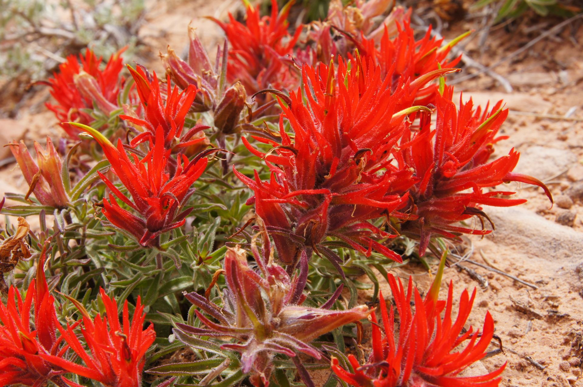
The water scarcity (an average of 25 cm of precipitation per year) affects the fauna and flora of the state park. The plants have reduced the size of their leaves to reduce evaporation.
We also constantly counteract our water loss. You really have to drink something all the time at these altitudes, and we always have a large supply of drinking water in the car. The air is so dry and we are mostly at 2,000 or more meters above sea level, so you have to make sure you drink enough. We quickly eat a sandwich and then drive back to Moab to check in.
While looking for an evening program for us, we inquire about a "Dinner Cruise" on the Colorado River and are informed that this 90-minute event costs 60 dollars and that dinner takes place on land in a kind of cafeteria. Well great. So that's not our program. First, we drive along the Colorado River into a canyon, along Highway 28, which is a scenic byway.
Highway 28

Highway 28

On Highway 28
It lives up to its name and we are thrilled by the coloration of the towering rock walls and the sight of the wild Colorado River. The river has gigantic rapids and is filled with water, making it fast-moving. Swimming is not really possible here. There are fantastically located campsites along the river.
Back in Moab, I find a specialty camera shop that cleans my camera. I can pick it up tomorrow morning. We go out to eat, sit outside without jackets, and then go to the movies to see "Pirates of the Caribbean IV". Very funny.
Whakautu