We actually wanted to take the shuttle bus from the Stevens Clint Experience to the lighthouse in the morning in order to walk the six kilometers back along the cliffs. Unfortunately we waited in vain for the bus and so the six kilometers turned into 18km over the course of the day...
Stevns Klint
First of all, I asked a friendly lady at the Stevn Klint Experience exhibition if she knew anything about the whereabouts of the bus. Unfortunately she couldn't give me any information, but she advised us against taking the path to the lighthouse because it was close to the cliffs and could possibly be damaged by the storm.
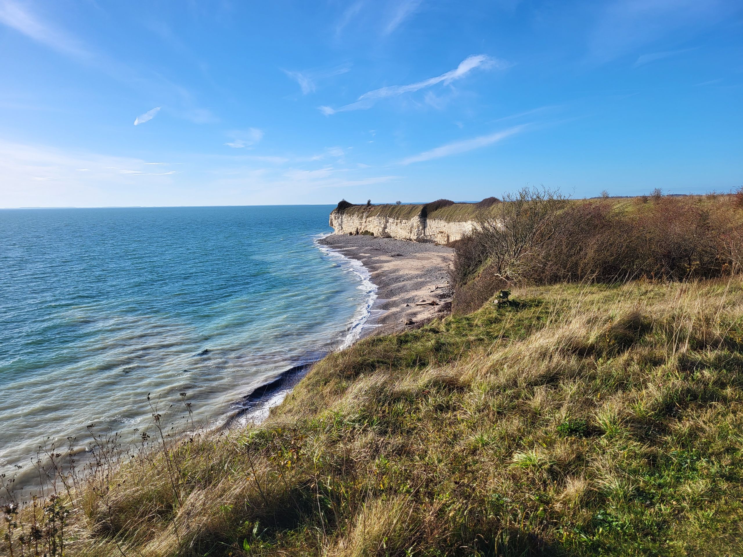
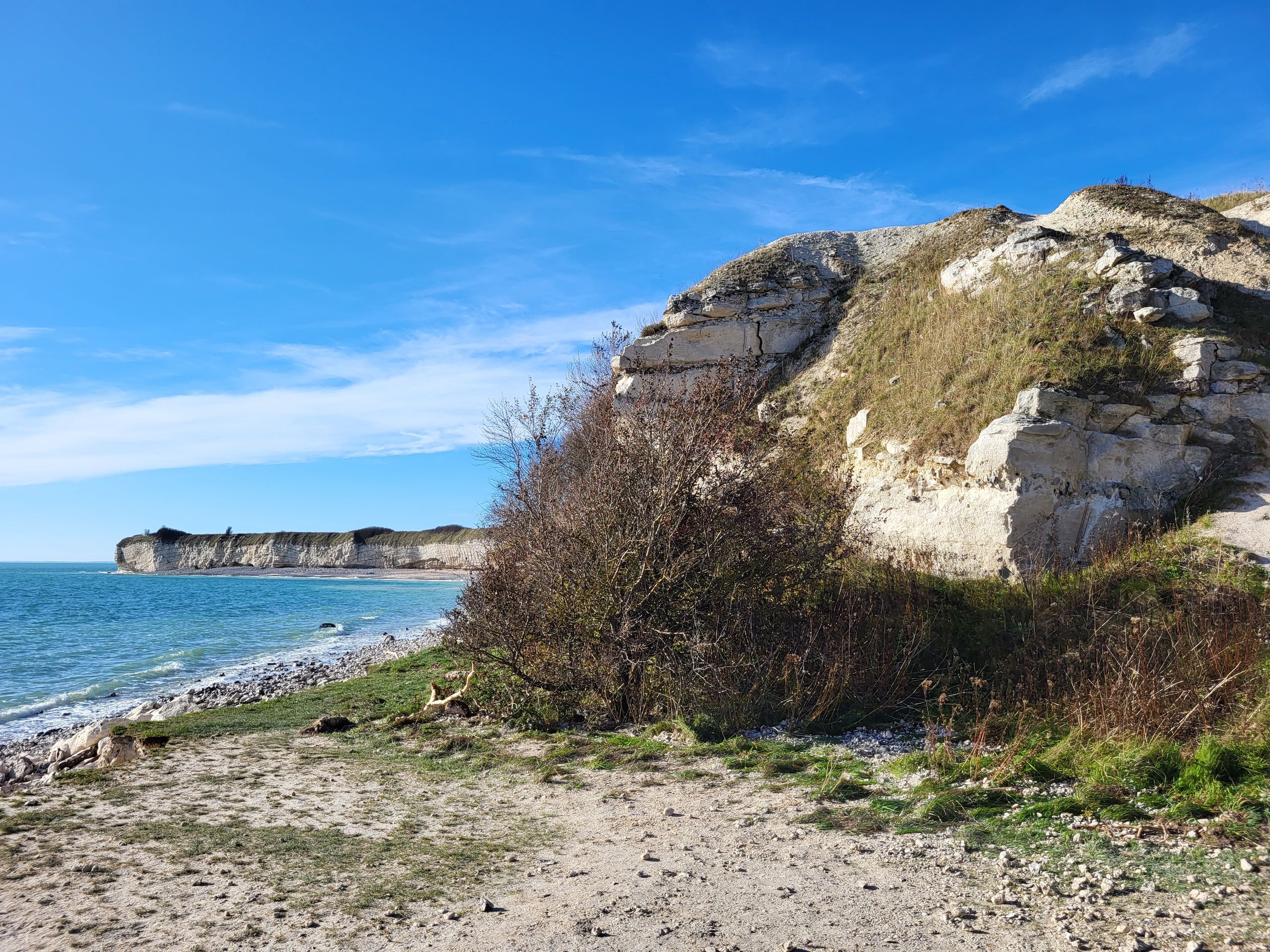
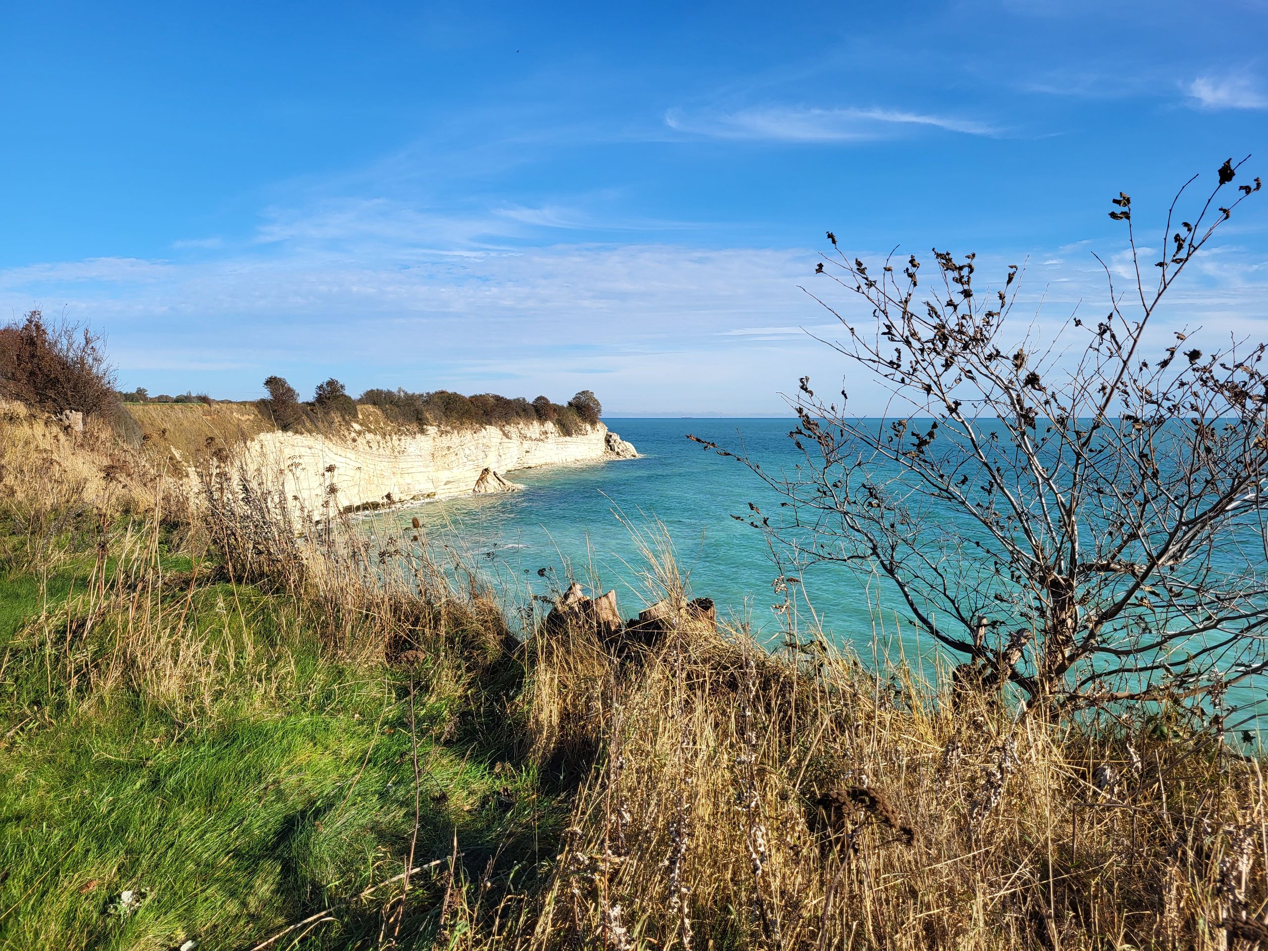
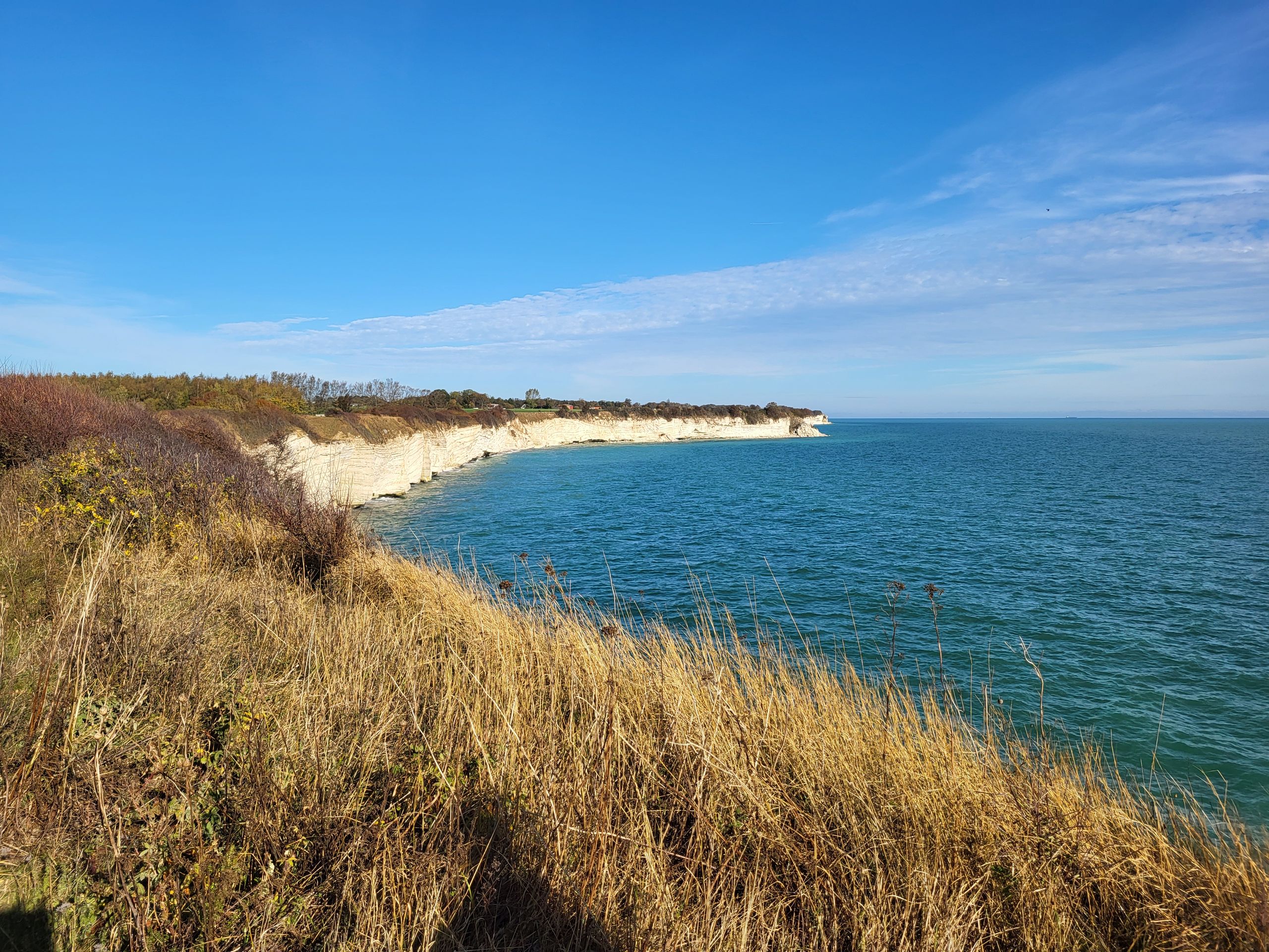
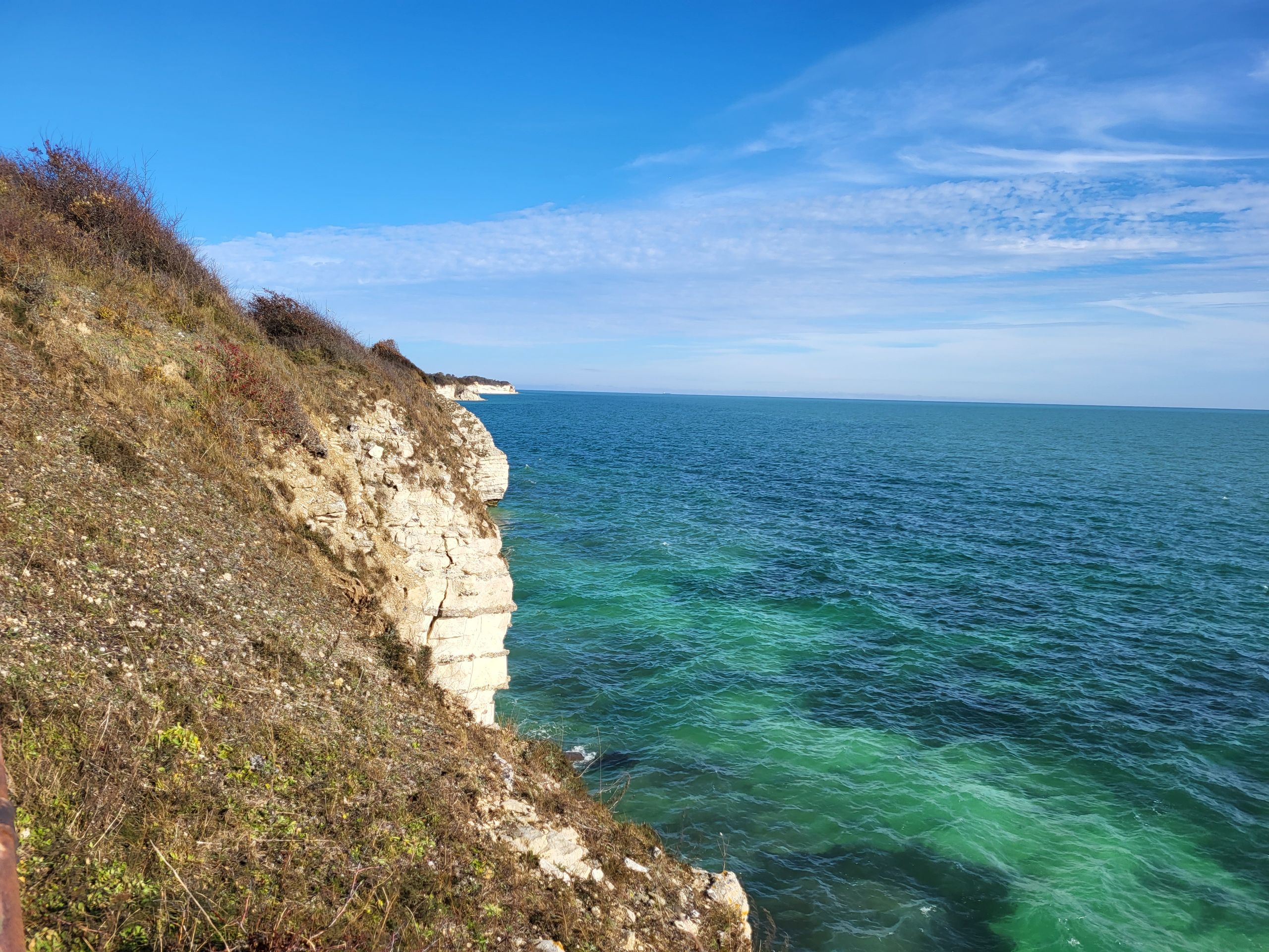
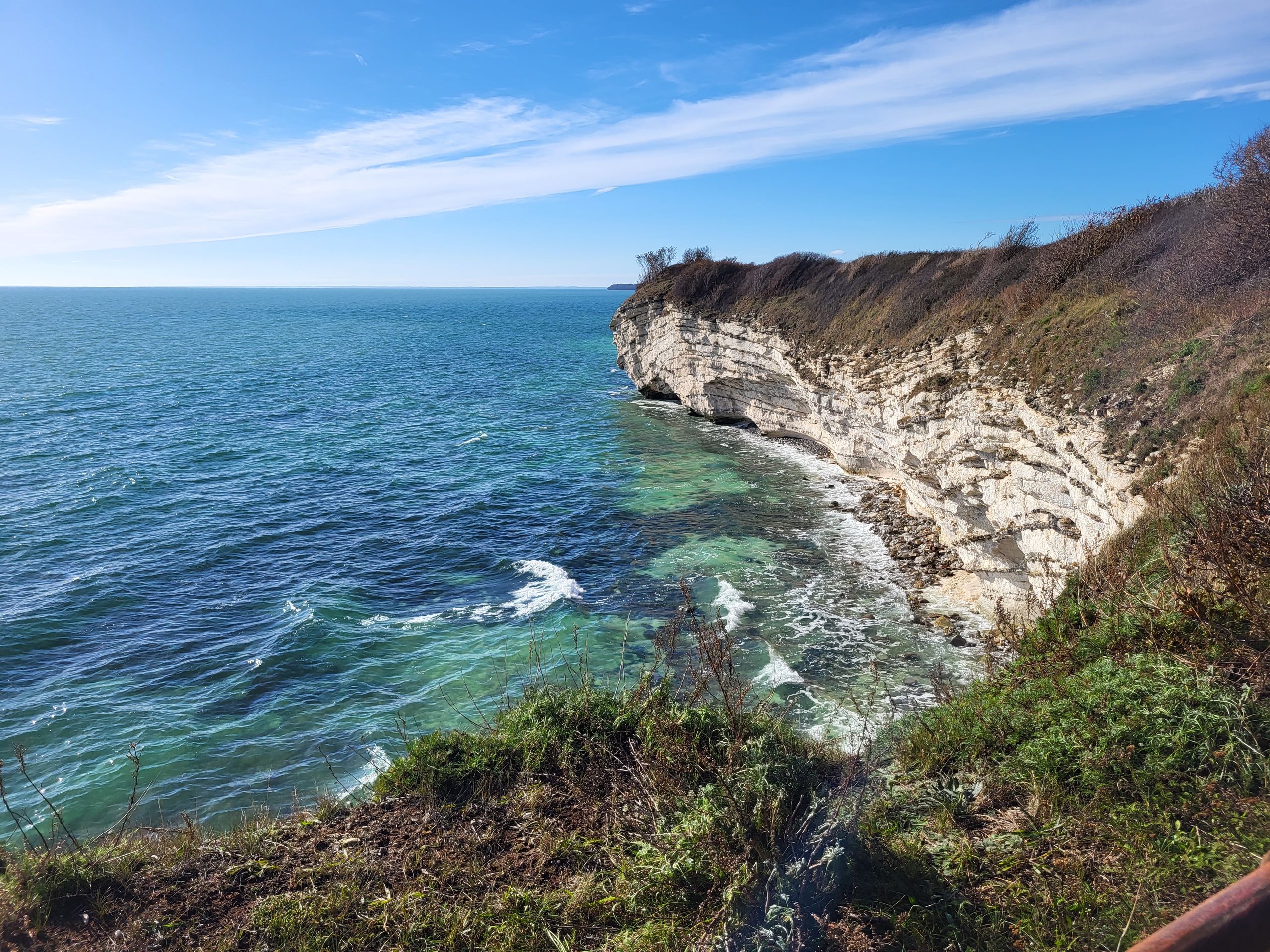
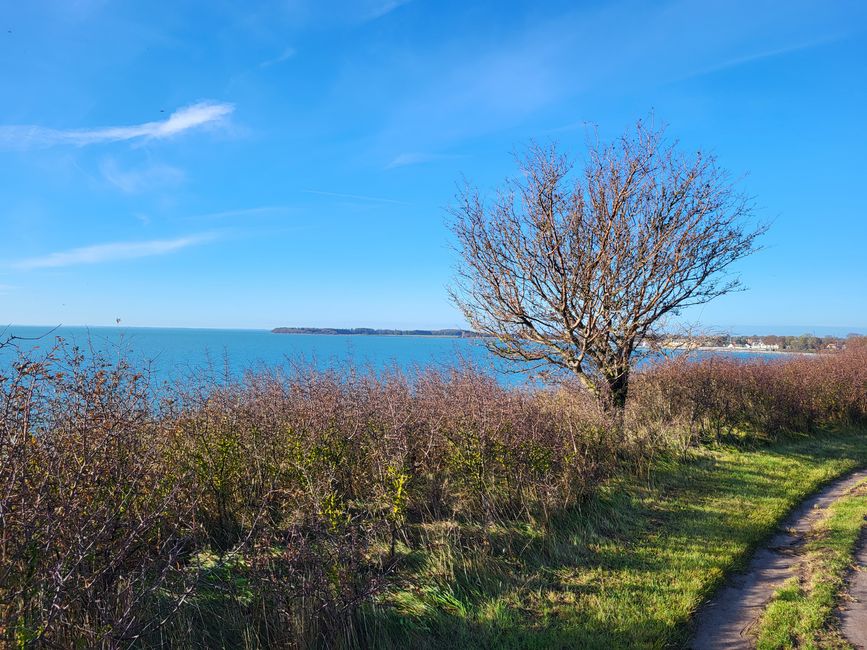
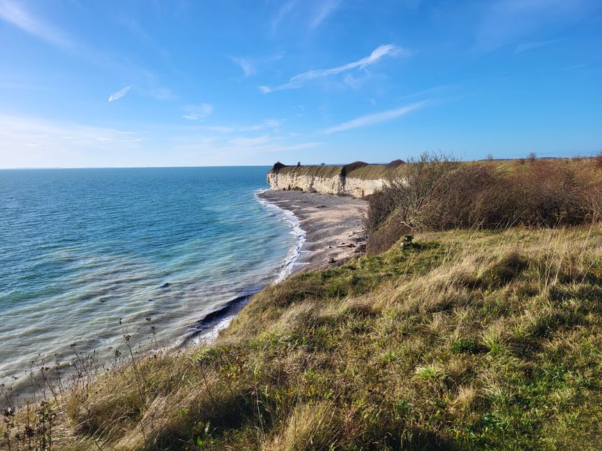
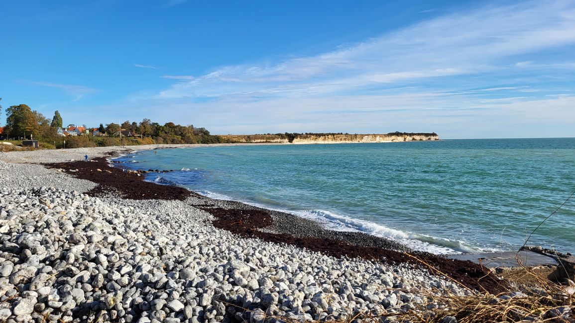
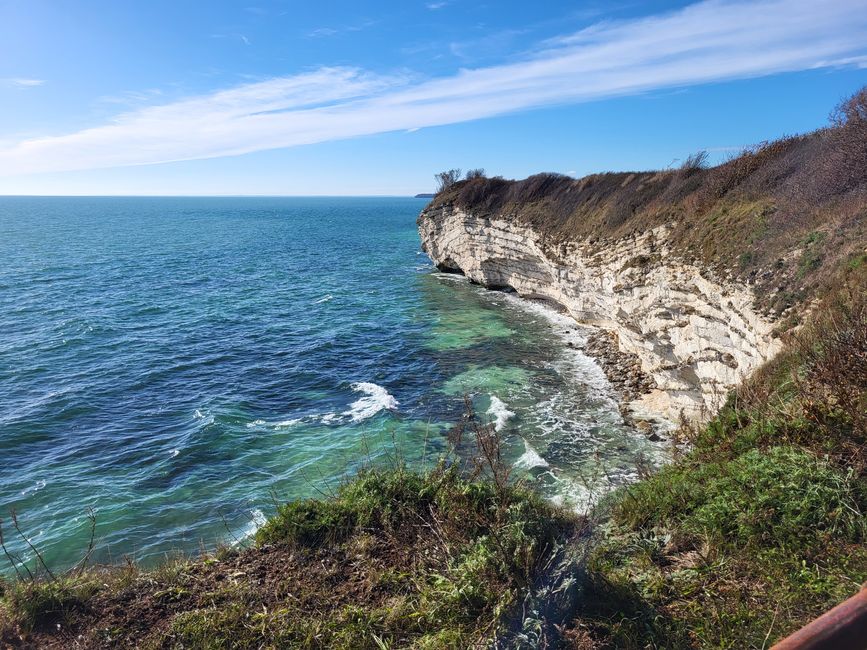
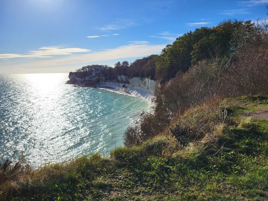
Steep coast Stevns Klint
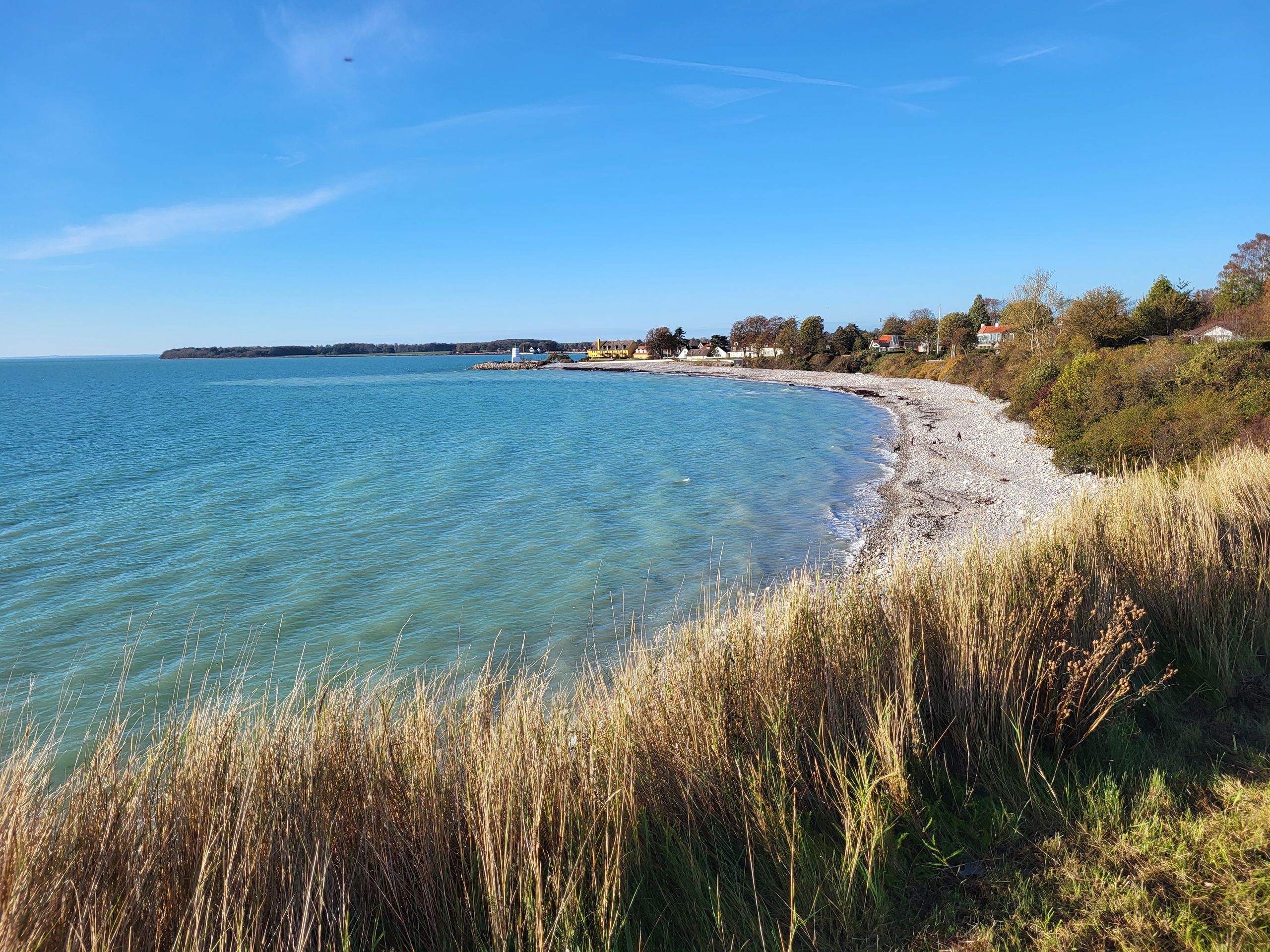
So we first set off on the slightly wider path between fields and the coast to Rødvig, a place on the coast that is frequented by tourists in summer.
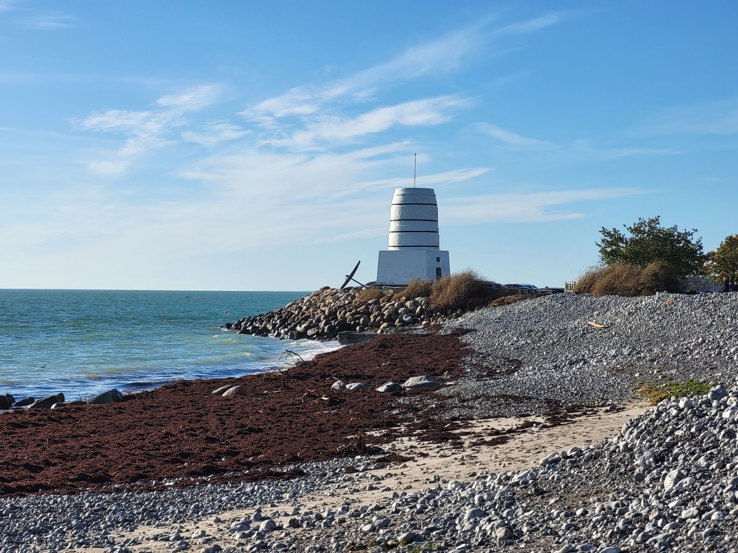
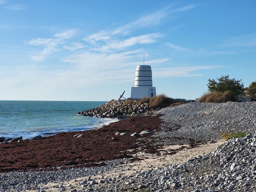
Rødvig lighthouse
There were also many visitors in town today. However, it was probably local onlookers who wanted to see the consequences of the storm surge the night before last.
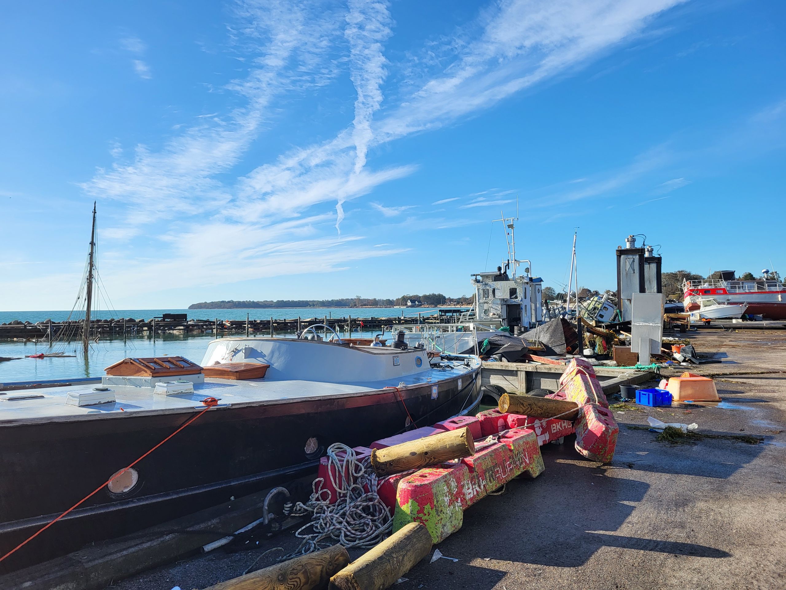
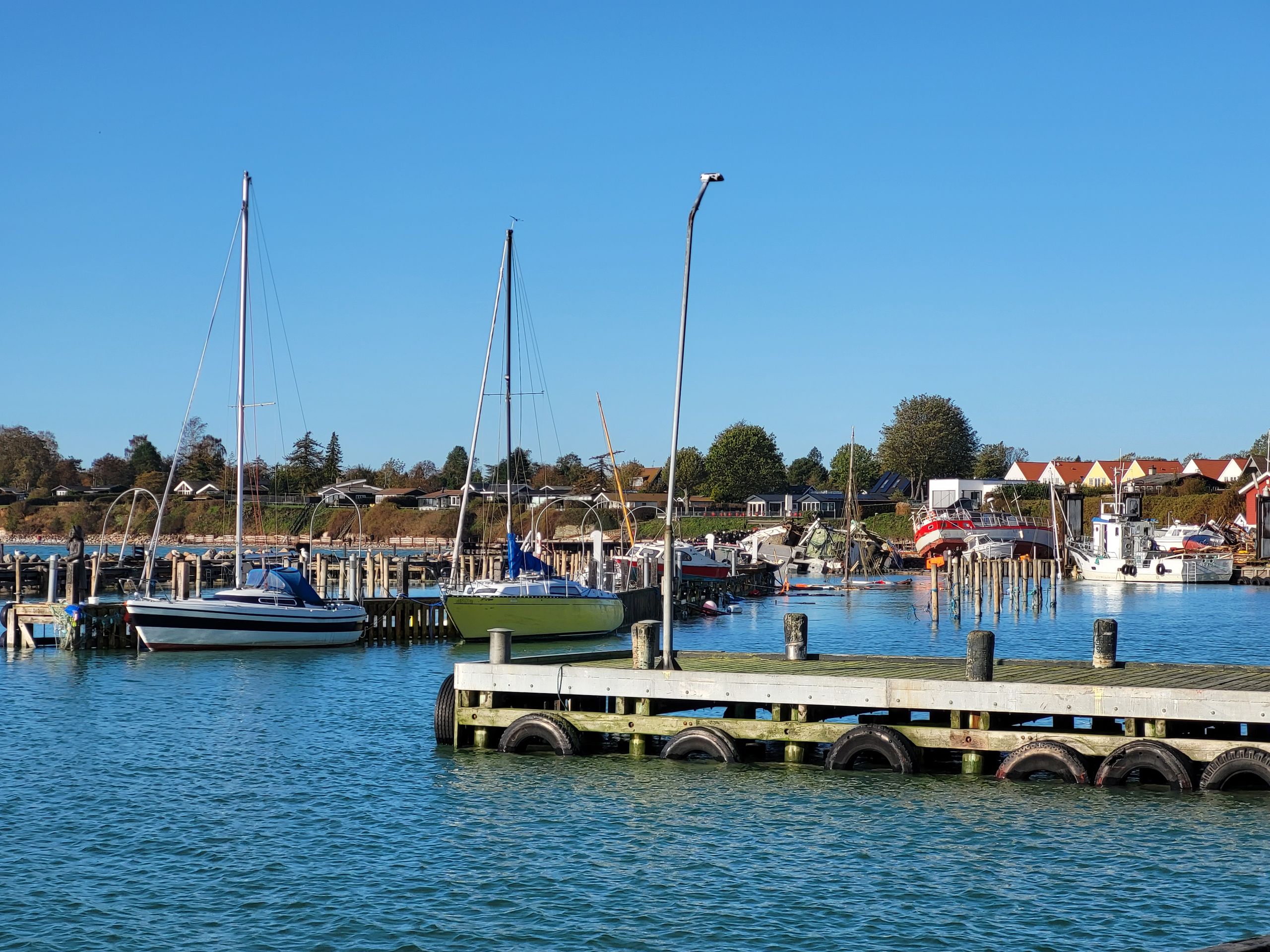
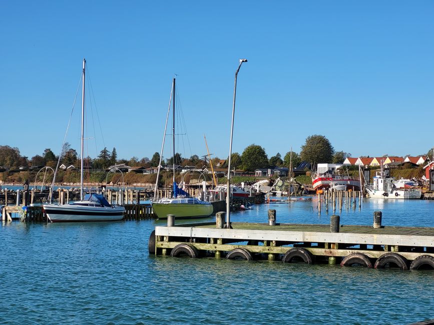
Rødvig harbor
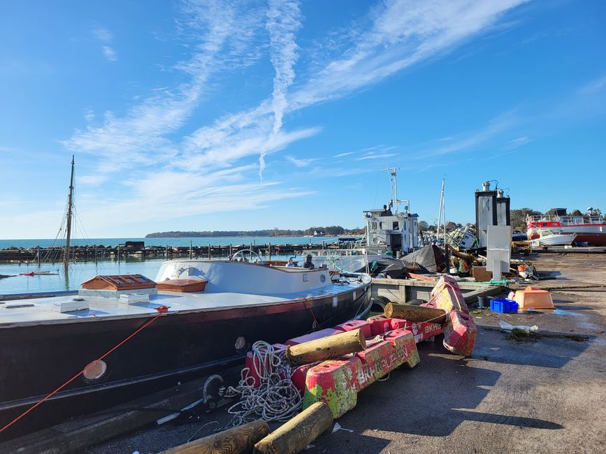
In the harbor we saw some boats that were no longer in the water or whose roofs were torn. Overall, there were several piles of trash swept up that included the remains of boats and beach shacks.
Rødvig harbor after the storm surge
Only the mast of a ship was visible above the water.
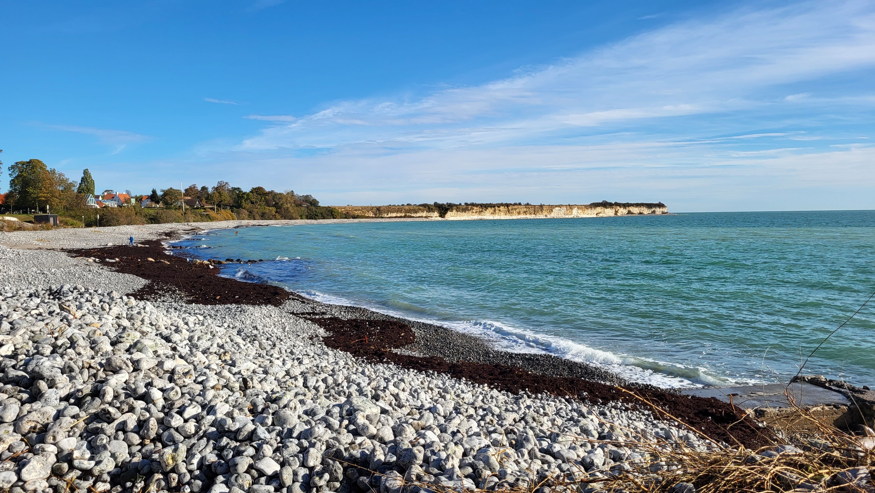
The washed-up stones were also piling up on the beach: a bench was just peeking out of a pile of stones.
Rodvig beach
When we got back to our starting point, we wanted to walk a little bit in the other direction - at least until the path seemed too narrow and too close to the edge.
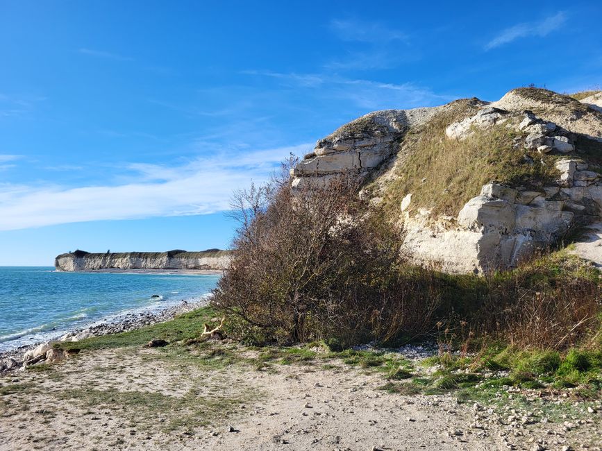
Steep coast Stevns Klint
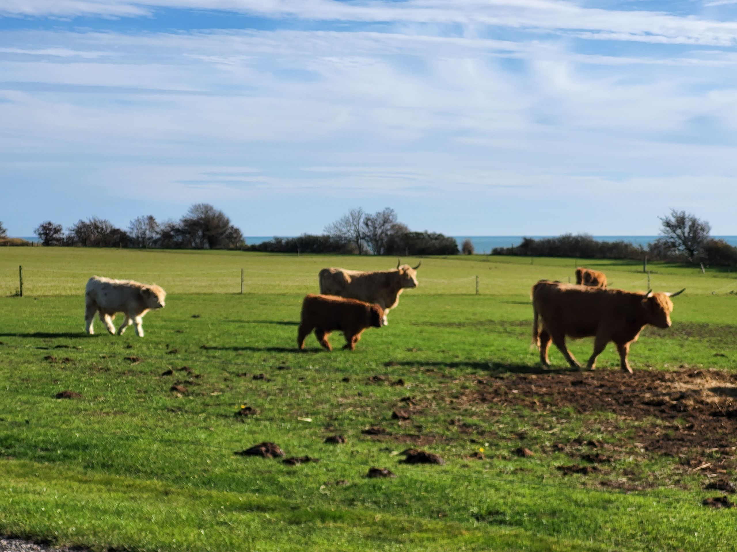
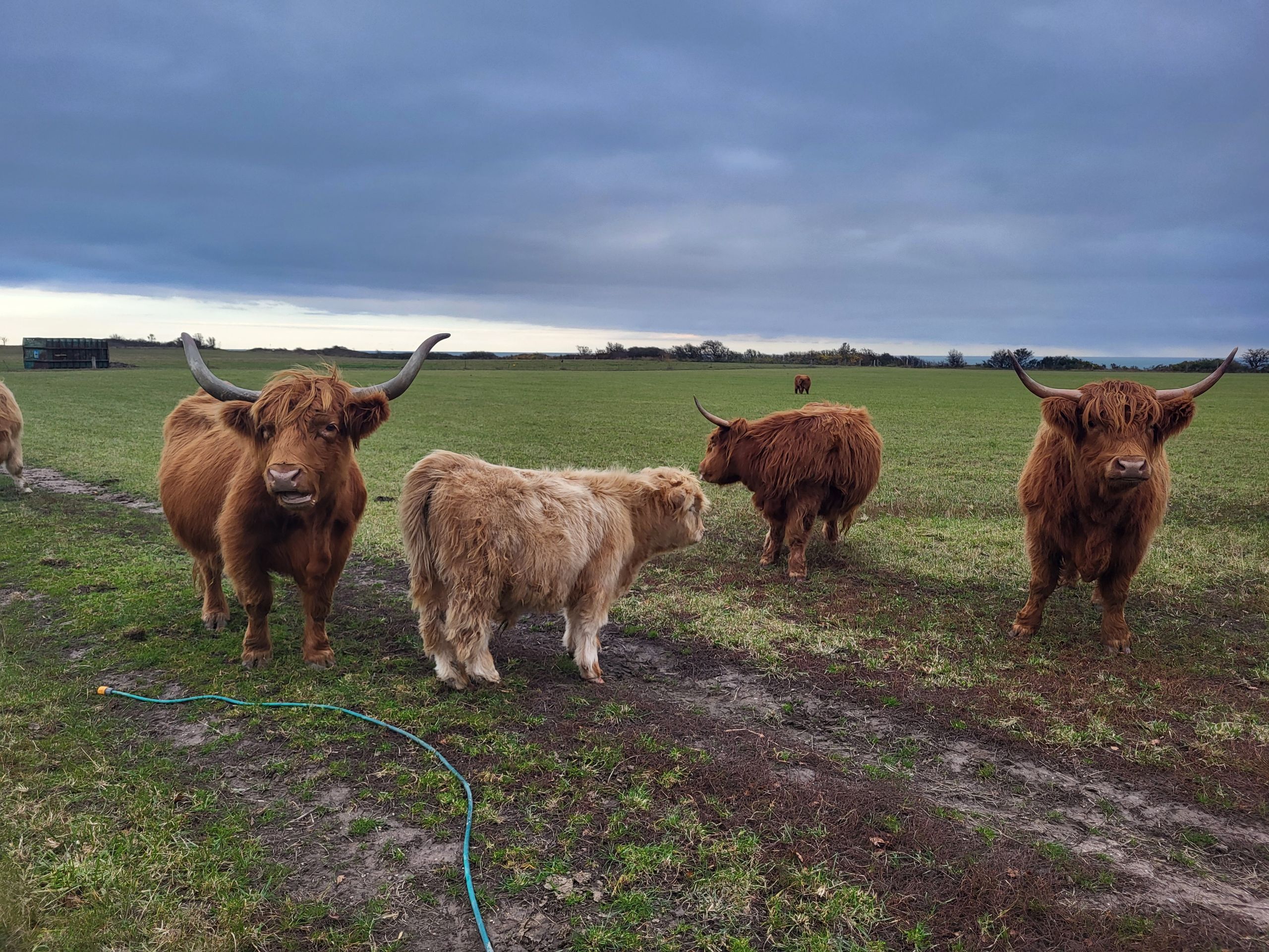
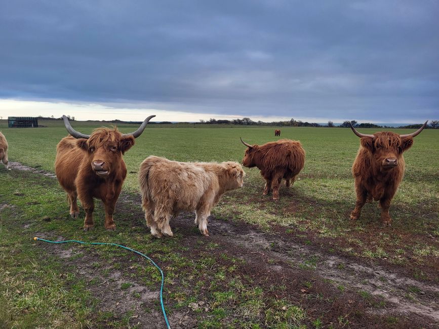
First the path led through some fields, far away from the coast and past some leisurely cattle.
Scottish Highland cattle
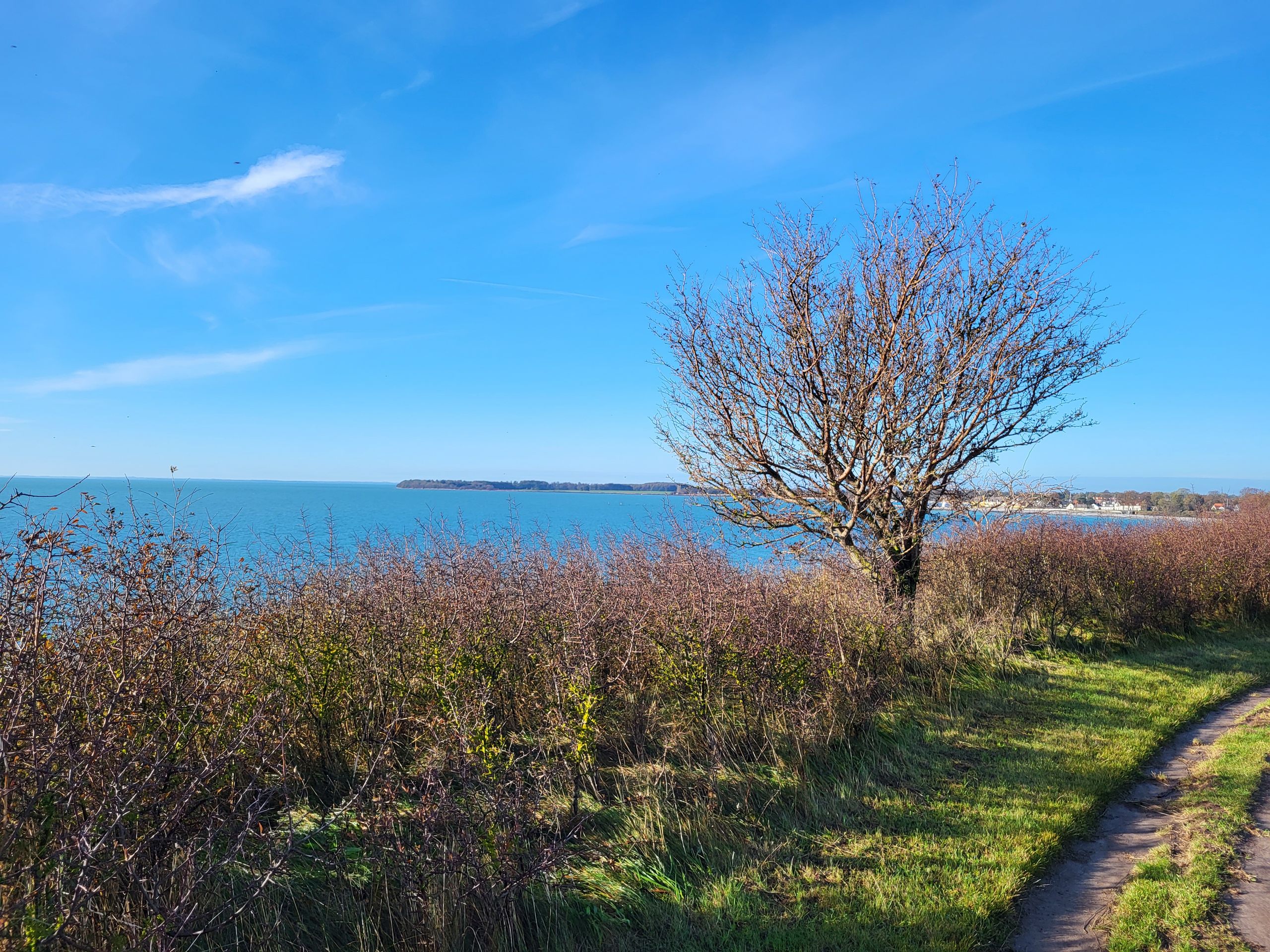
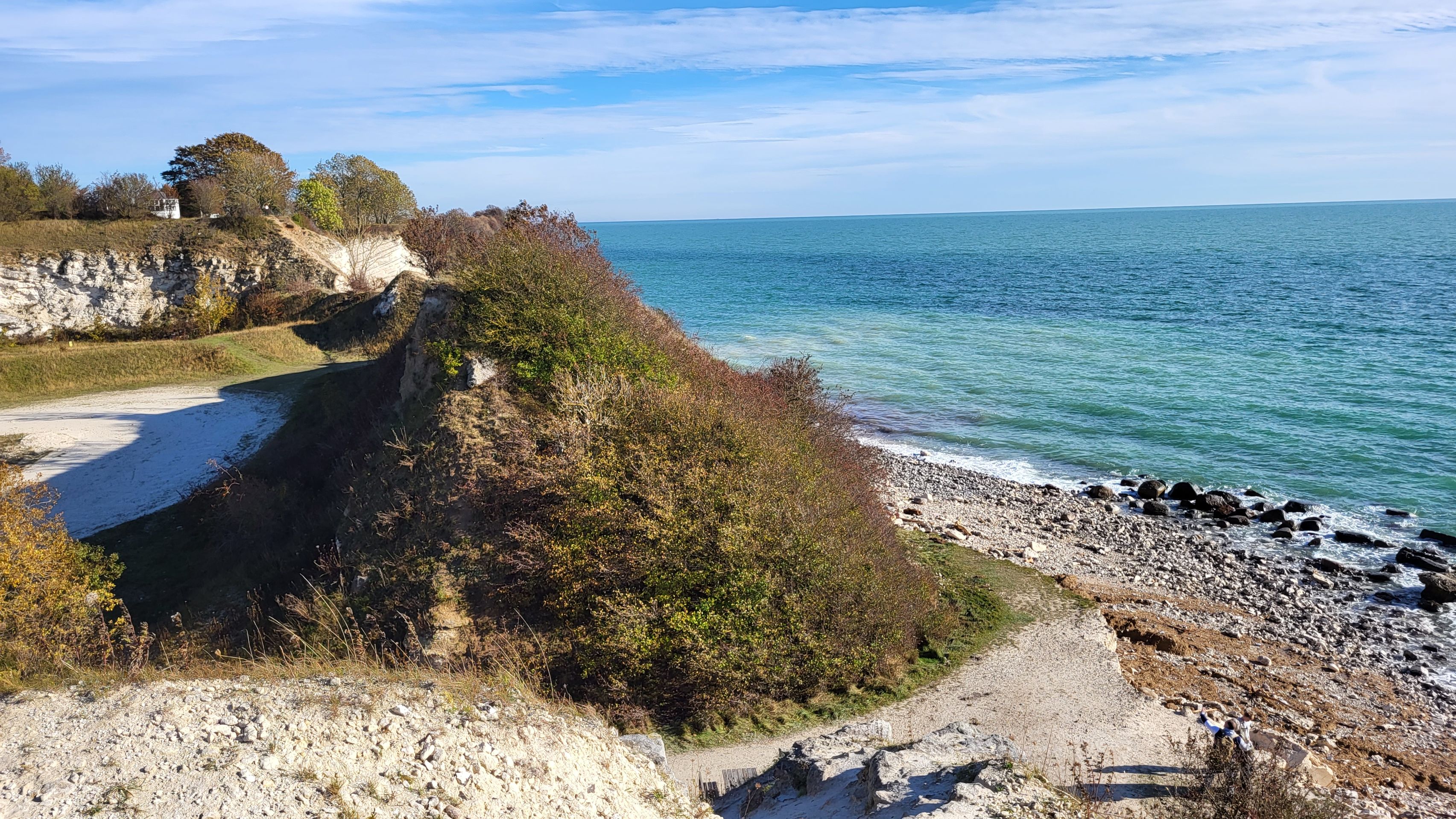
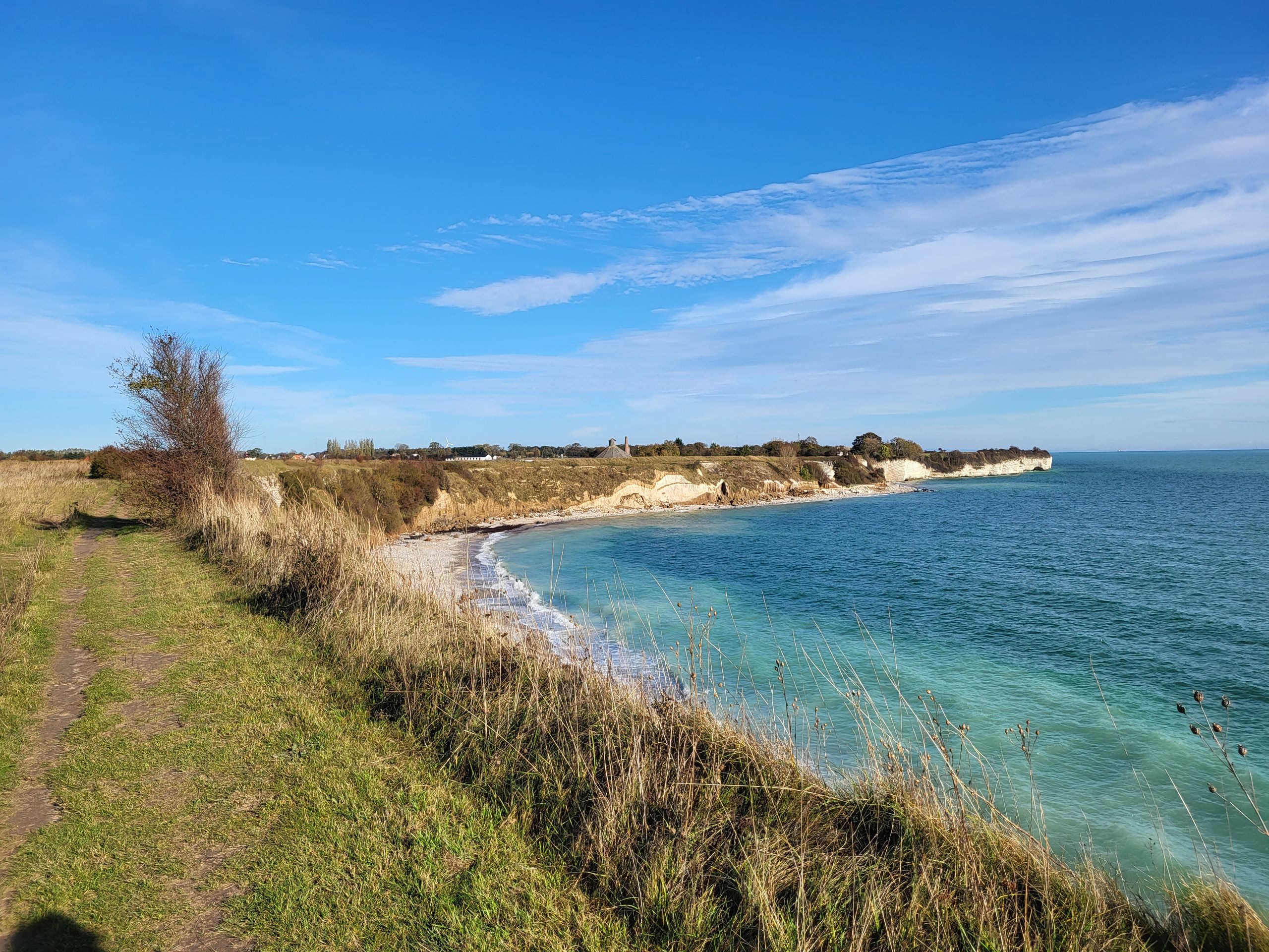
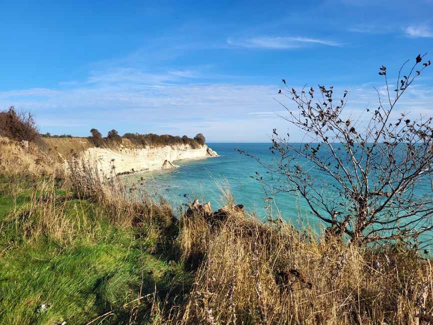
As we got closer to the coast, there was still enough distance between us and the edge that we continued on without any concerns.
Steep coast Stevns Klint
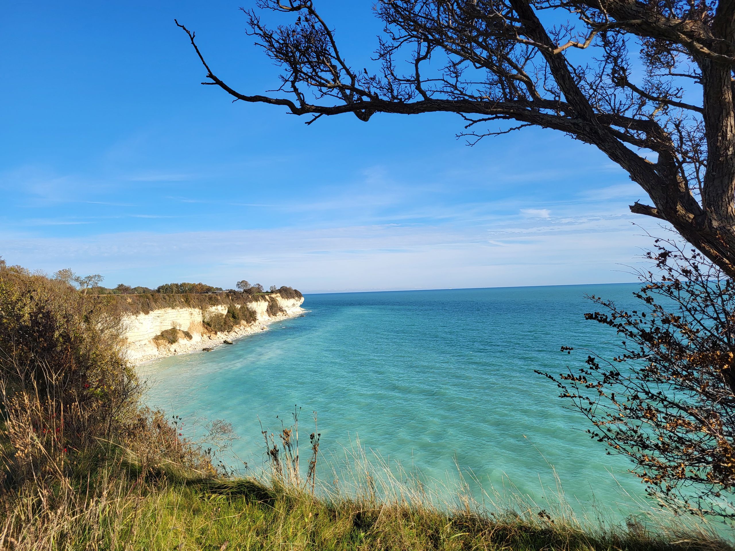
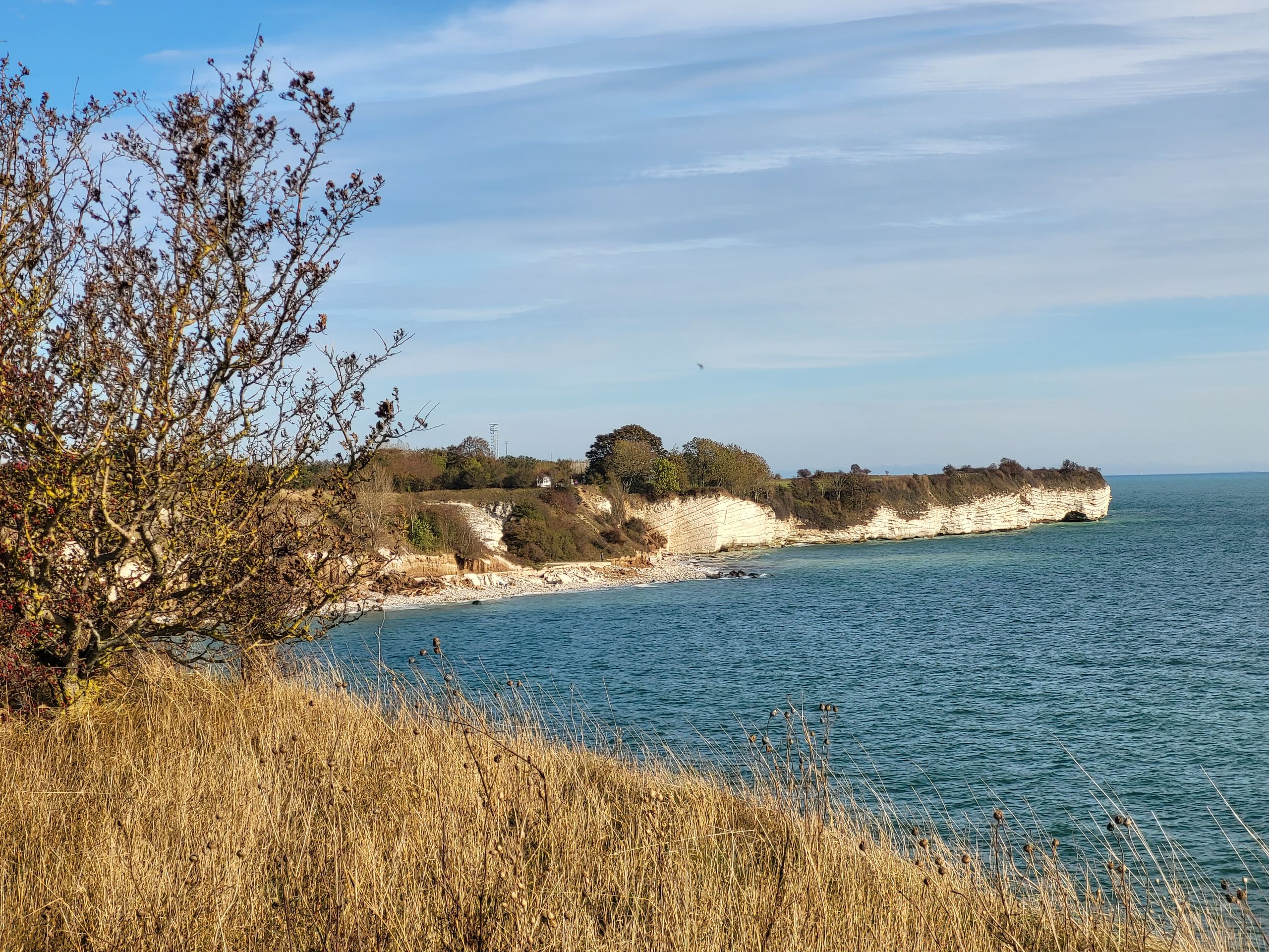
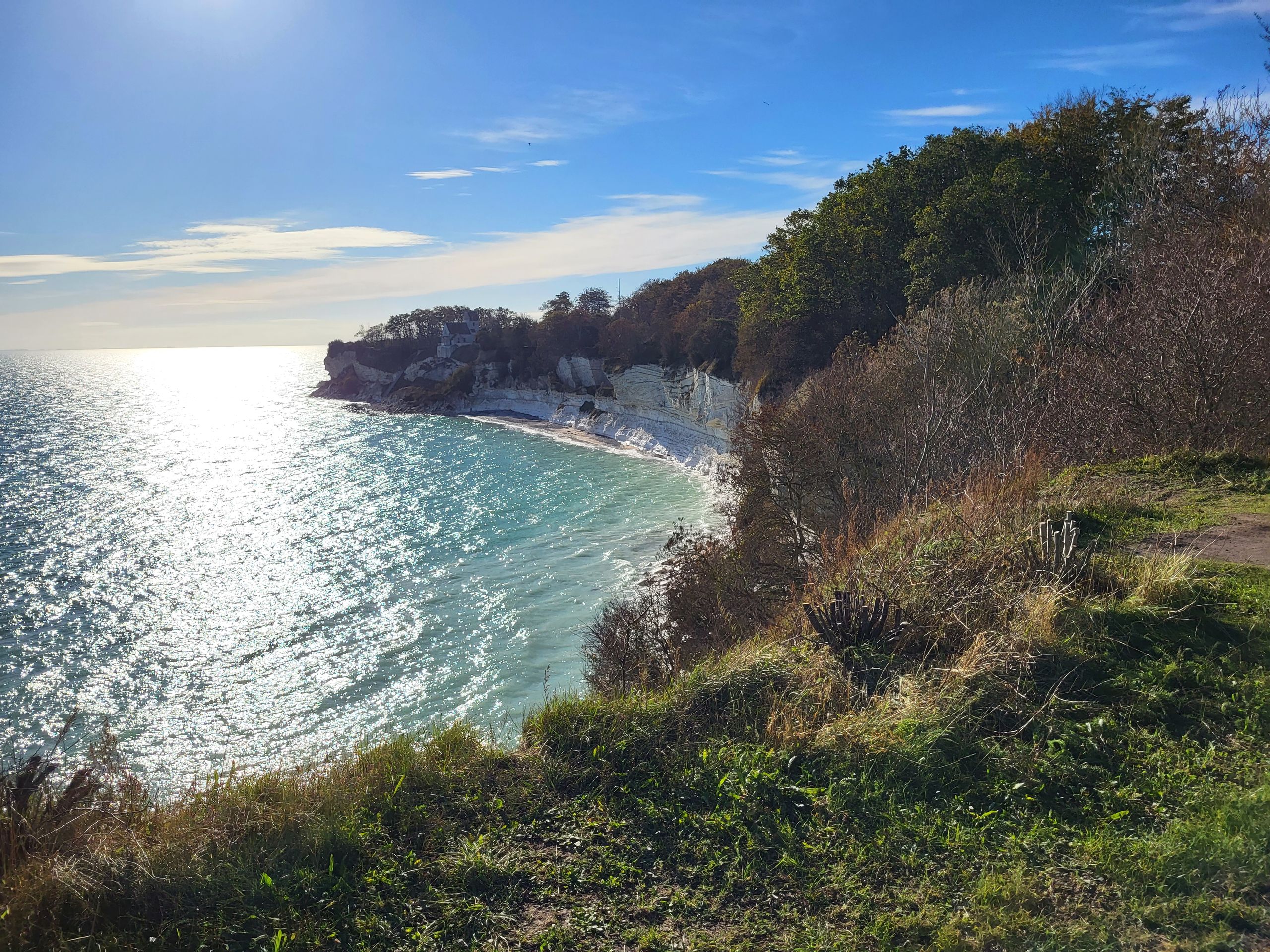
After the flood of the past few days, the chalk coast shone a particularly beautiful white in the sunshine.
Steep coast Stevns Klint
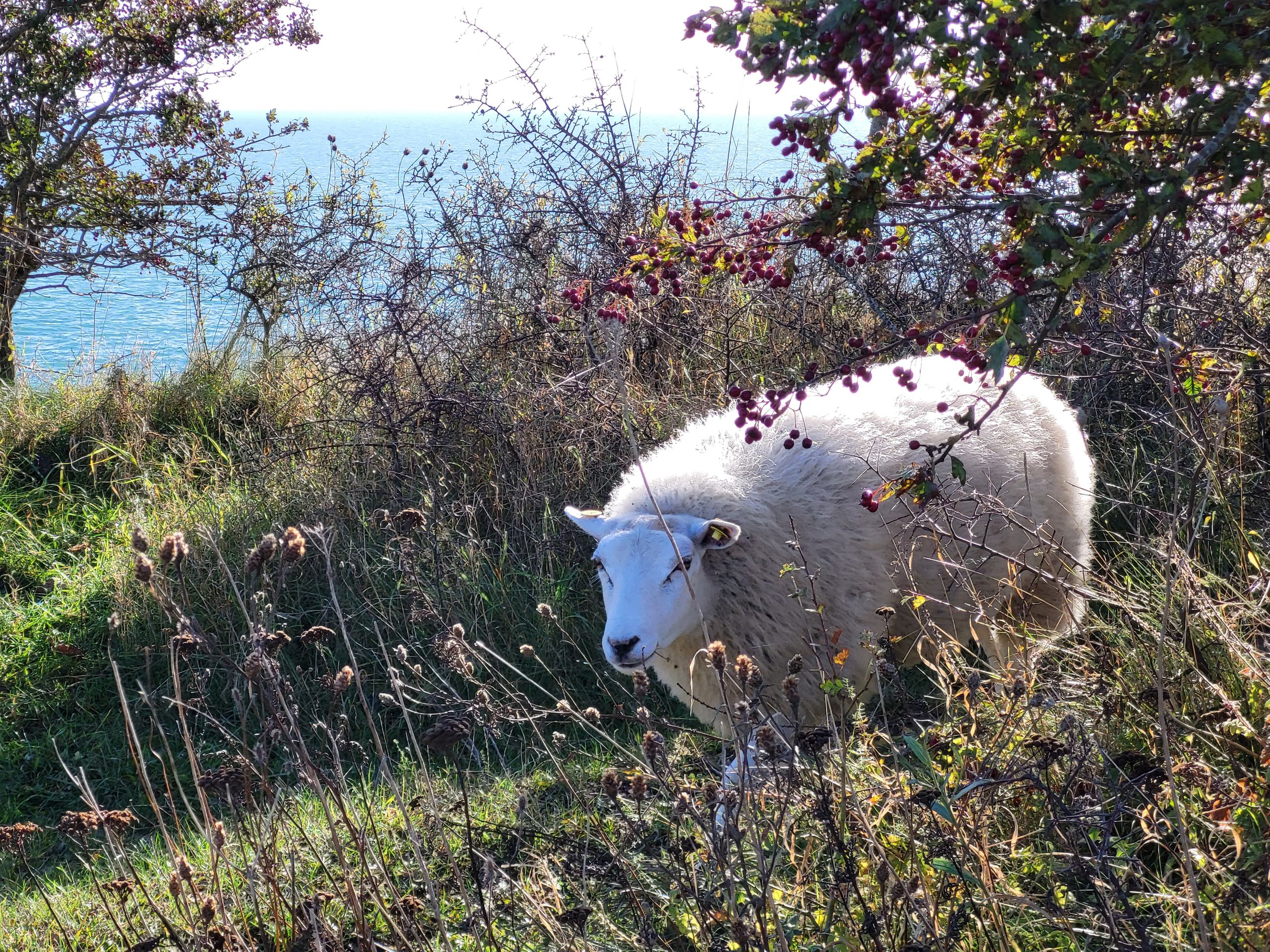
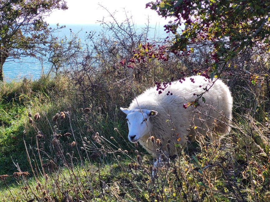
On the way we met a few other walkers and a herd of sheep who were eating their lunch on the side of the path.
Sheep on the cliffs
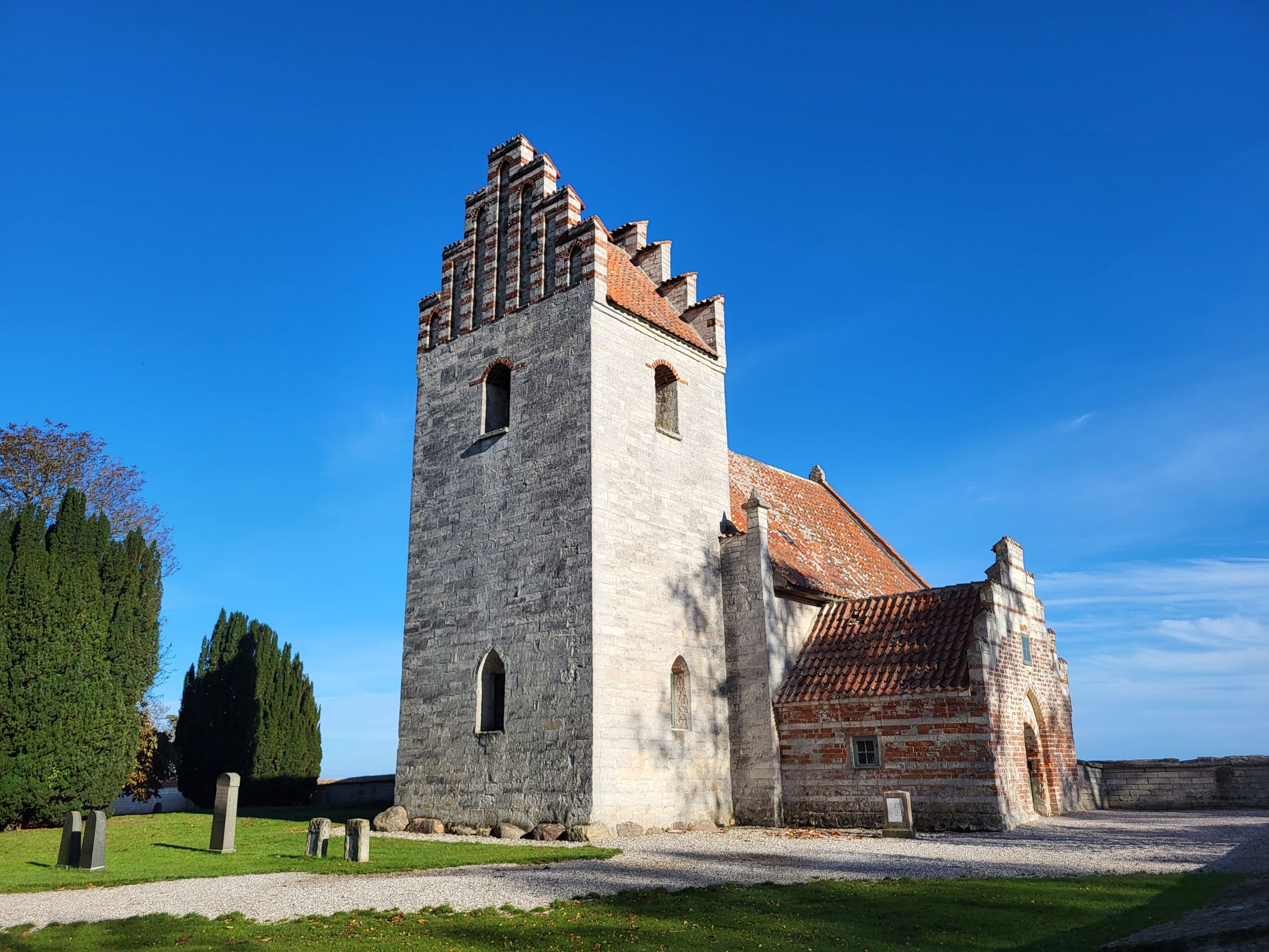
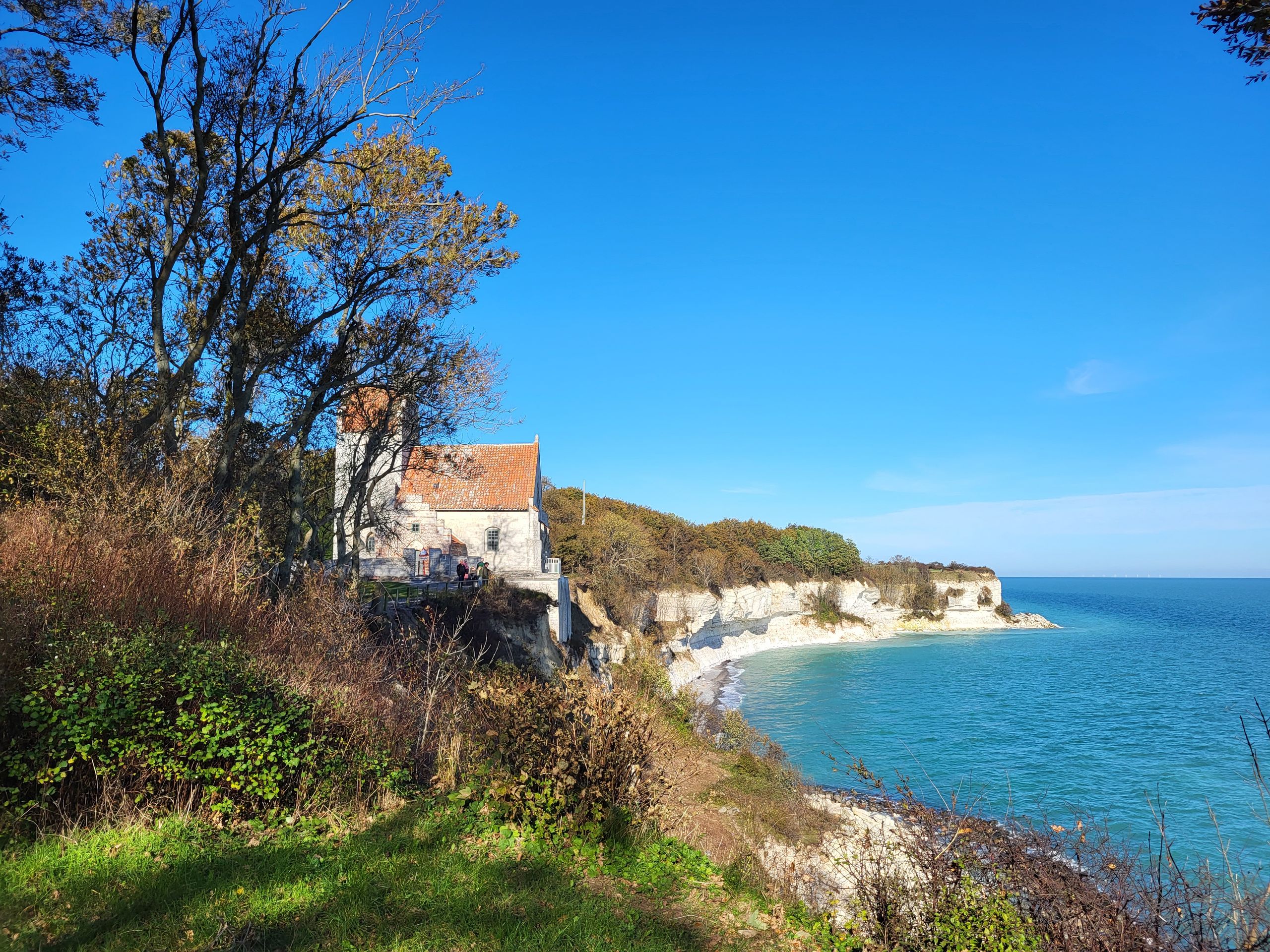
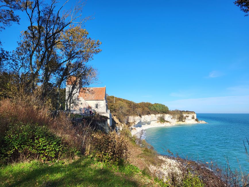
In Højerup we saw the old church, which was built directly on the cliff along with the cemetery.
Højerup Old Church
In 1928, parts of the cemetery and the choir collapsed into the sea and today access to the site is blocked.
Højerup Old Church
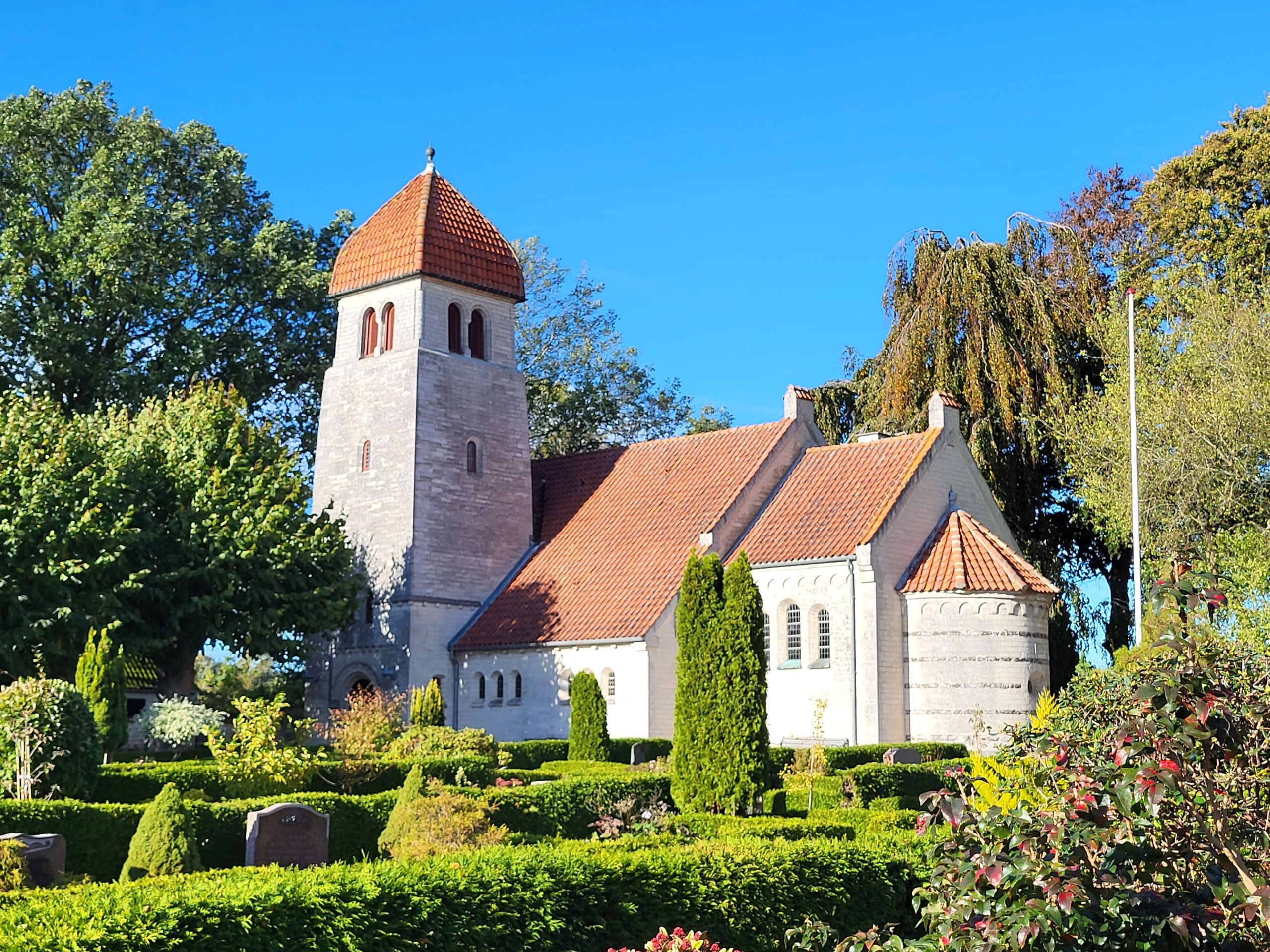
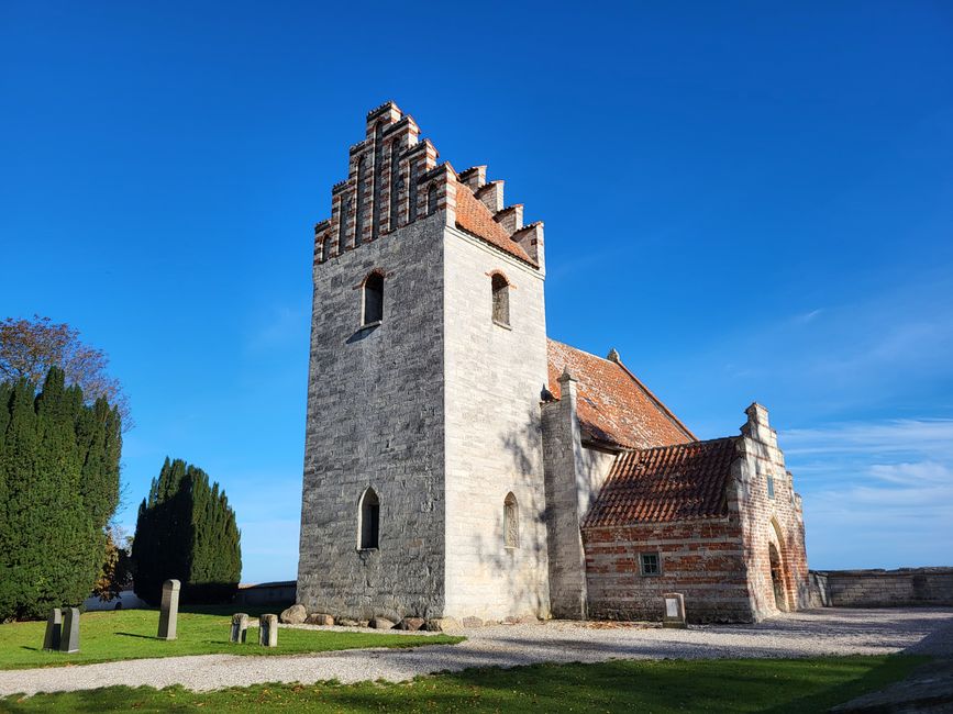
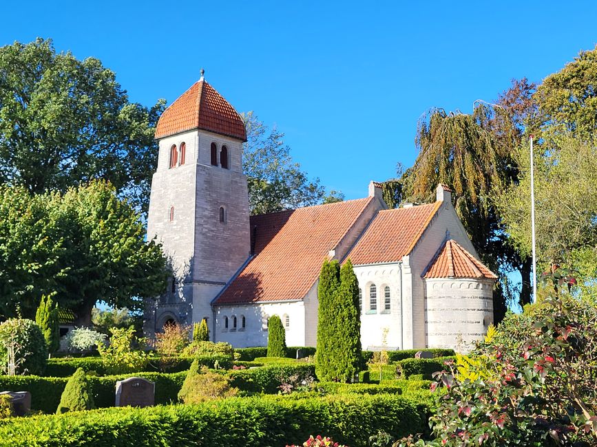
The new church was built a little further inland - safe from demolition and falling into the sea.
Højerup Church
There was a restaurant next to it that tempted us with coffee and cake, but since we had come this far, we wanted to continue our way to the lighthouse.
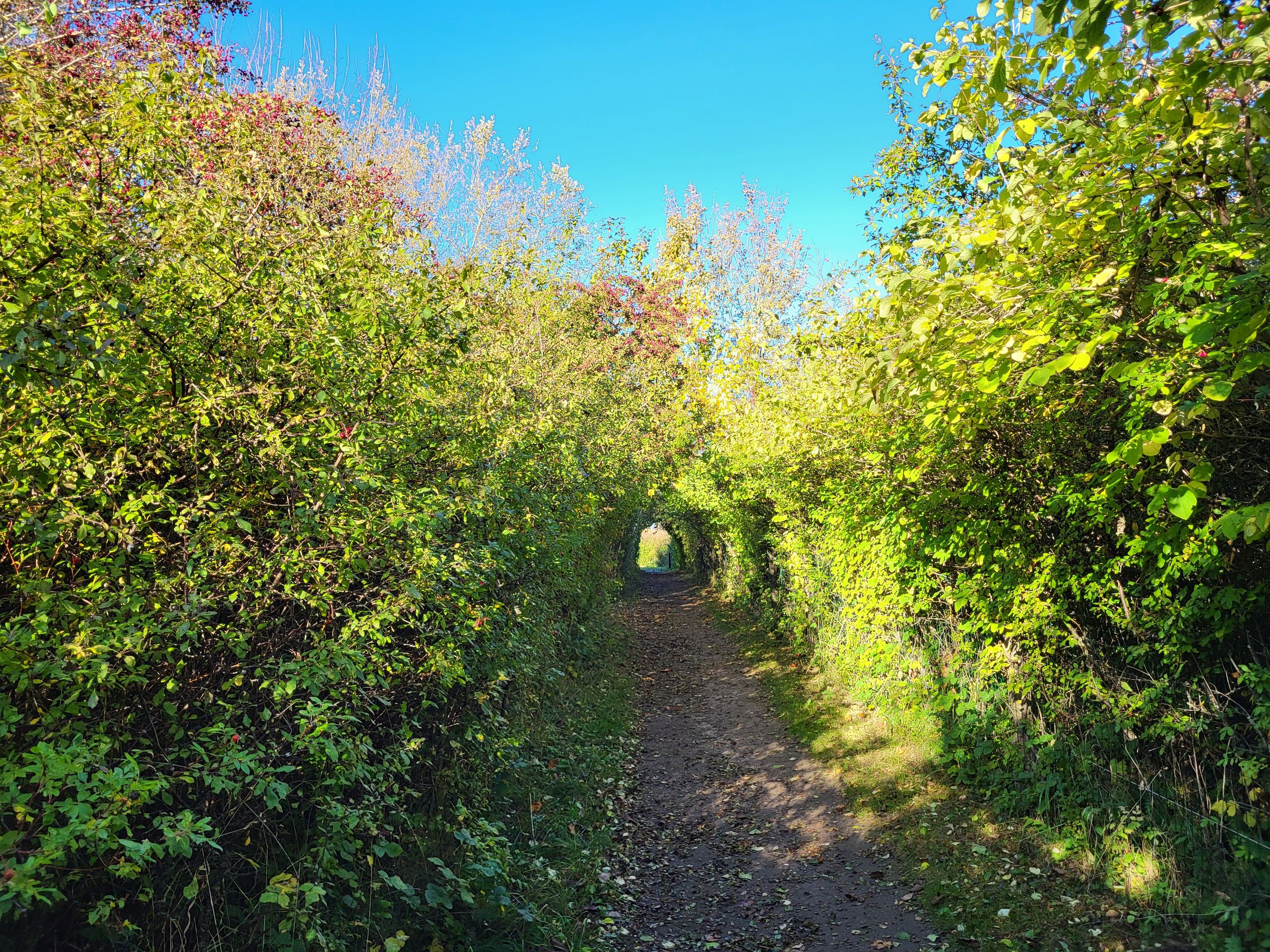
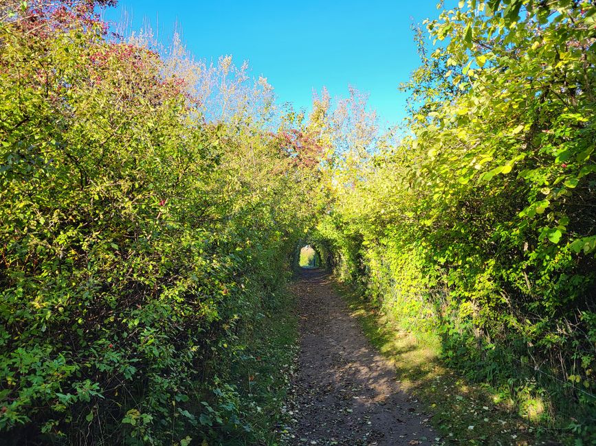
Path on the cliffs Stevns Klint
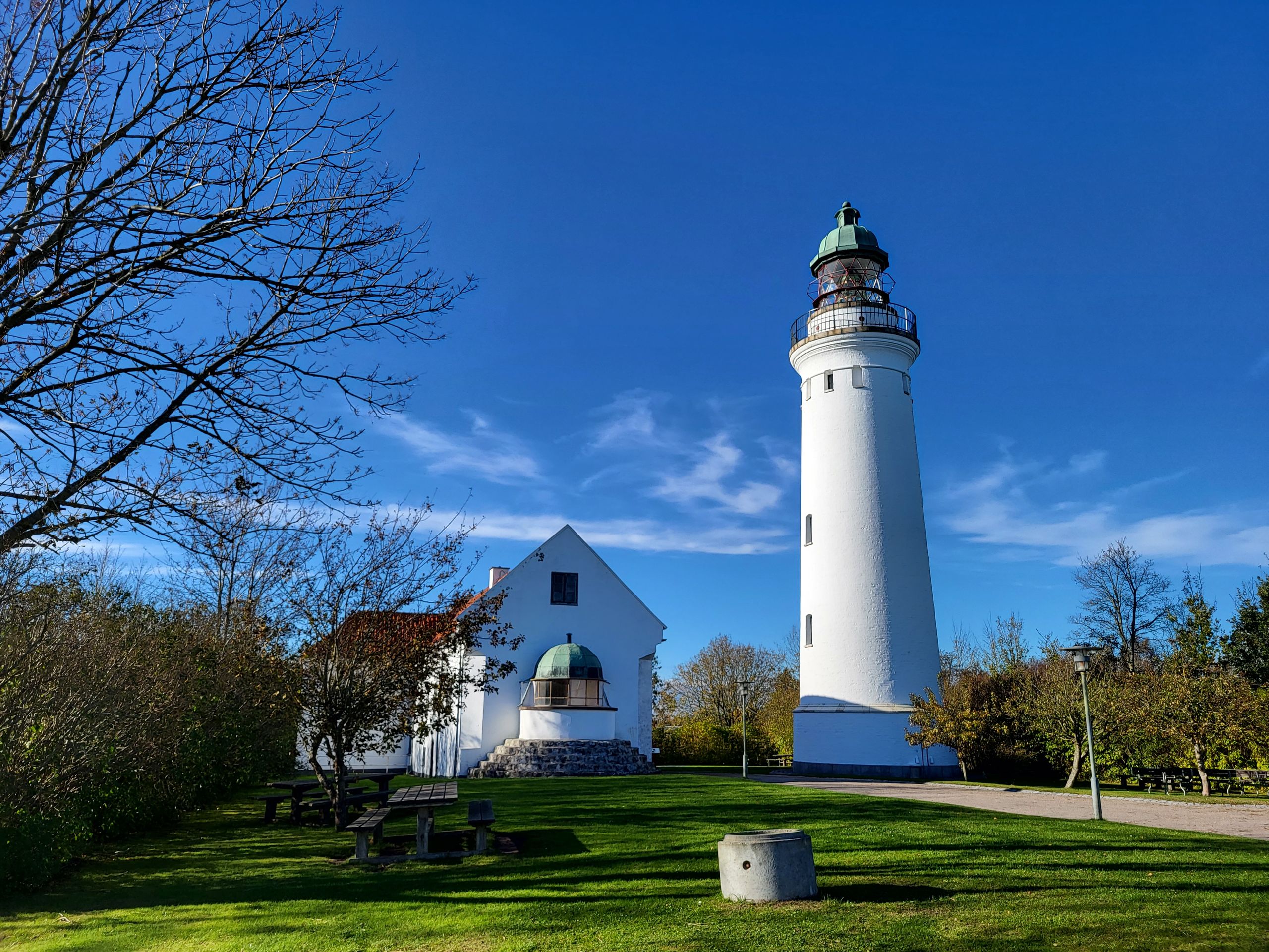
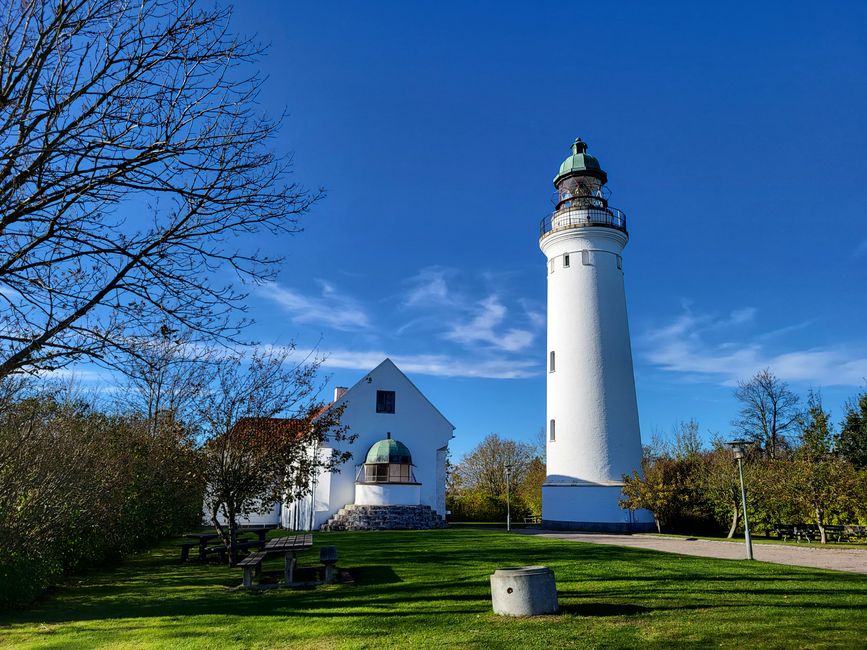
Stevns Fyrcenter is the highest point of Stevns Klint at 41 meters above sea level.
Lighthouse Stevns Fyrcenter
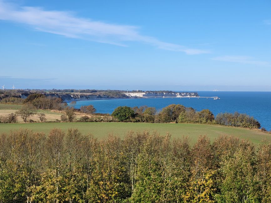
We climbed the narrow spiral staircase to enjoy the view from above.
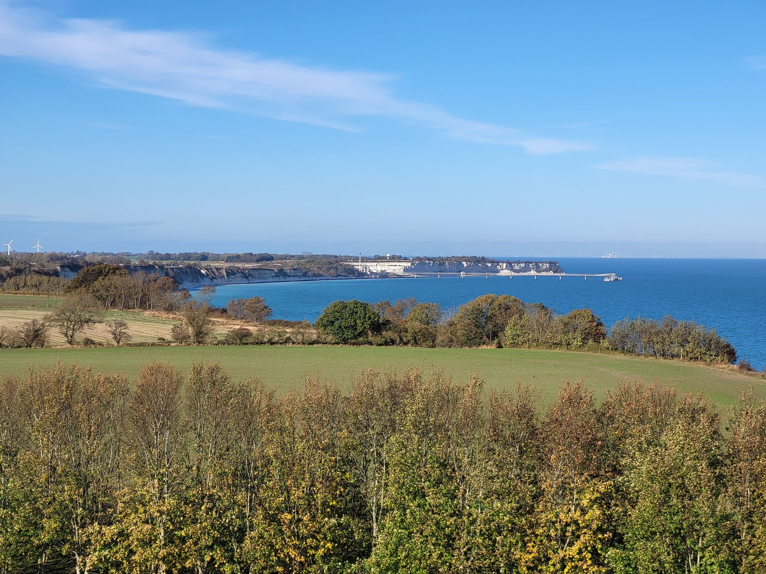
View from the lighthouse
Afterwards we stopped at the inn to fortify ourselves for the way back.
Steep coast Stevns Klint
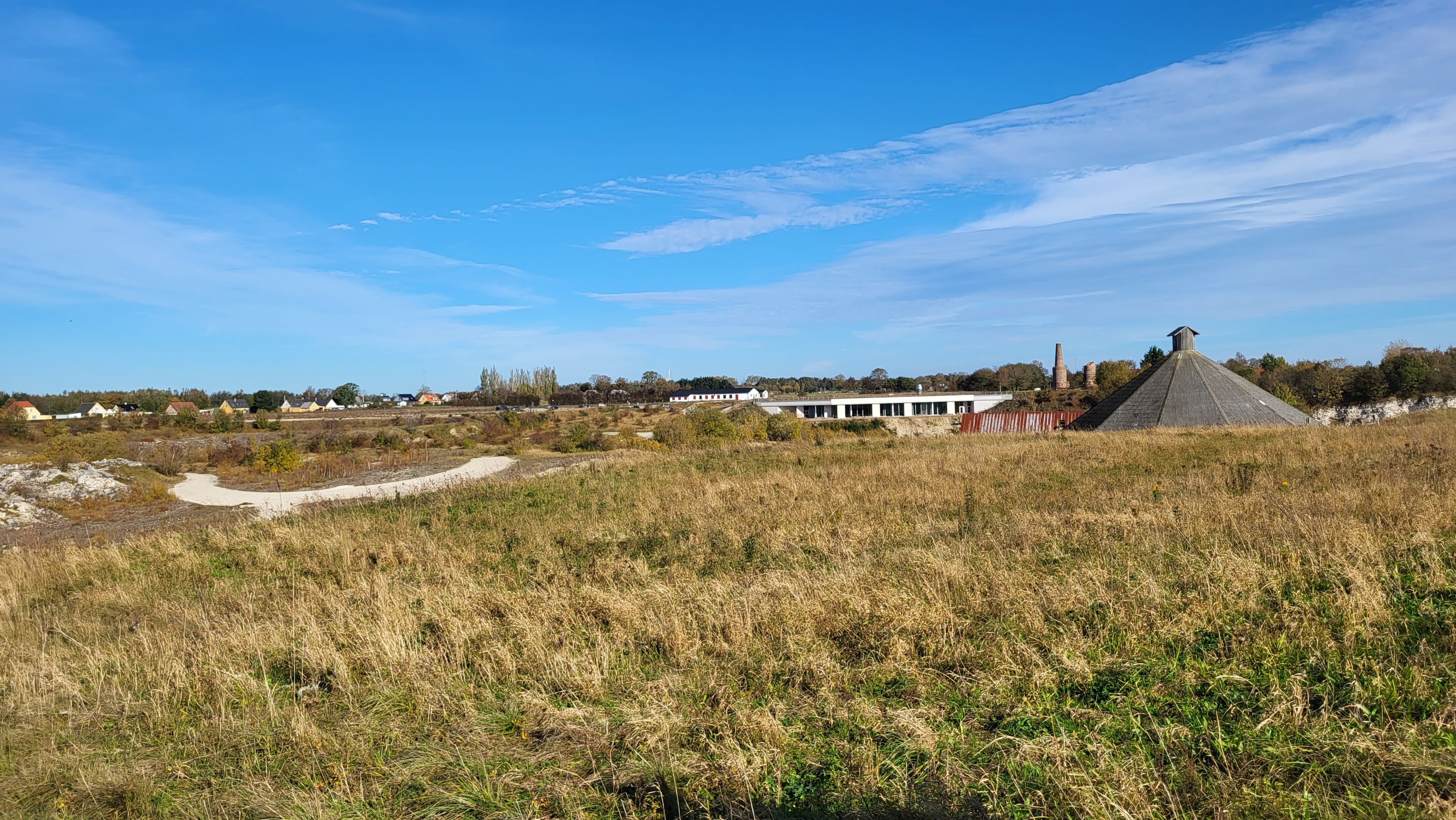
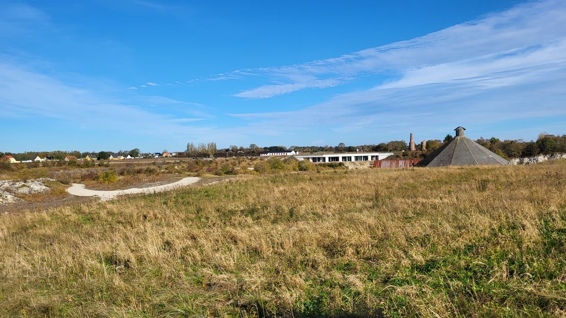
Now we went back along the cliffs until we arrived at the parking lot in Boesdal Kalkbrud, the old lime quarry, where we had parked our car.
Former limestone quarry and Stevns Klint Experience
In the evening we drove towards Møn, where we wanted to hike the next day.
peters-on-tourCome una newsletter: ogni nuovo articolo arriva via email.