Day 8 - Hike on the Hardangervidda
Közzétett: 05.08.2018


Feliratkozás a hírlevélre
For this day, a hike on Europe's largest plateau, the Hardangervidda, is planned. Its area is 8000 km² and the average elevation is 1200 m - 1400 m. During our first hike from Kinsarvik, we already touched the "Vidda" at its lowest edge, but unfortunately we didn't make it to the top. Before we move on, we want to experience this again. Unfortunately, the weather is quite rainy in the morning, contrary to the weather forecast, but it clears up after breakfast, so we set off anyway.
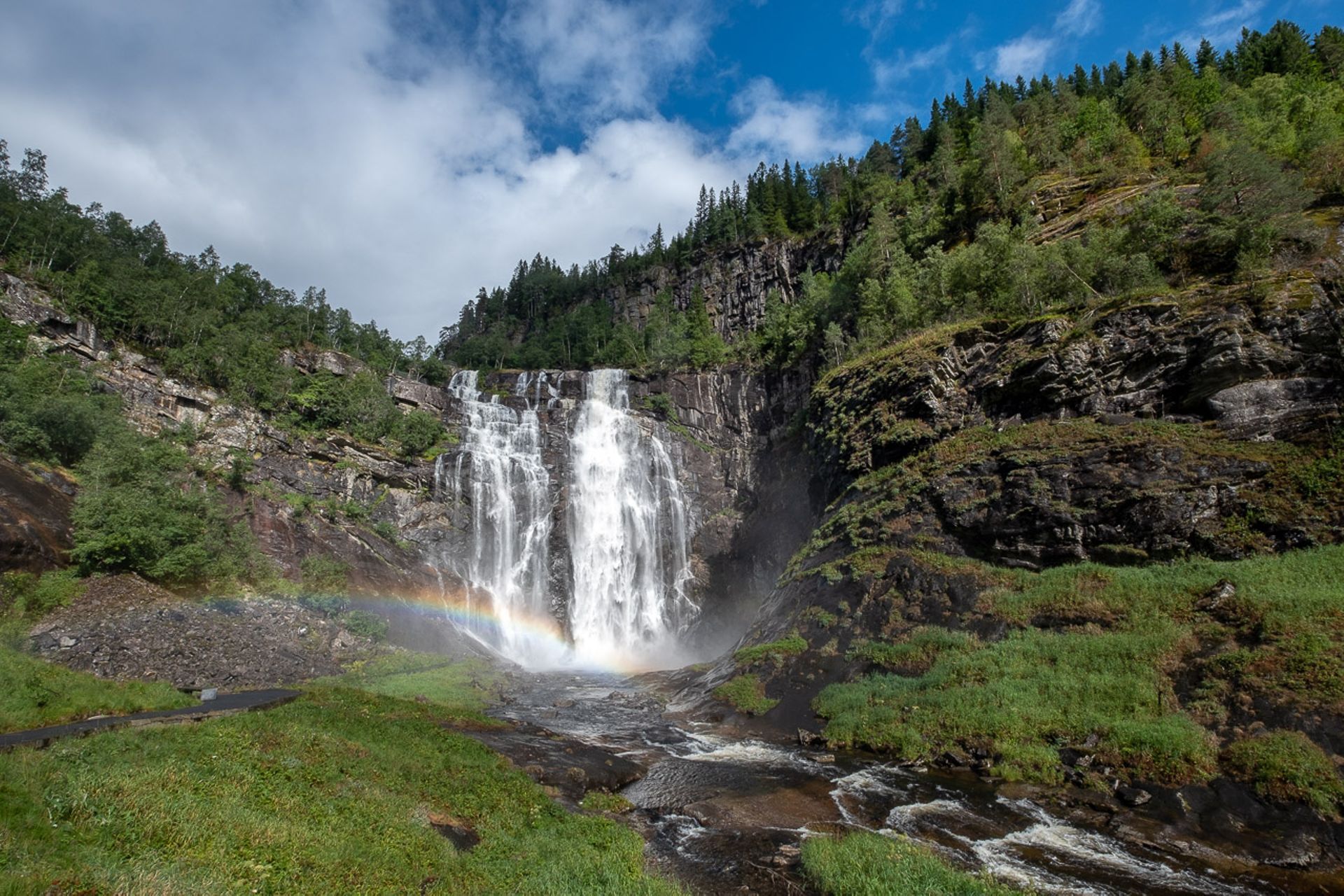
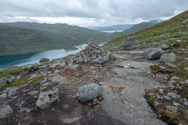
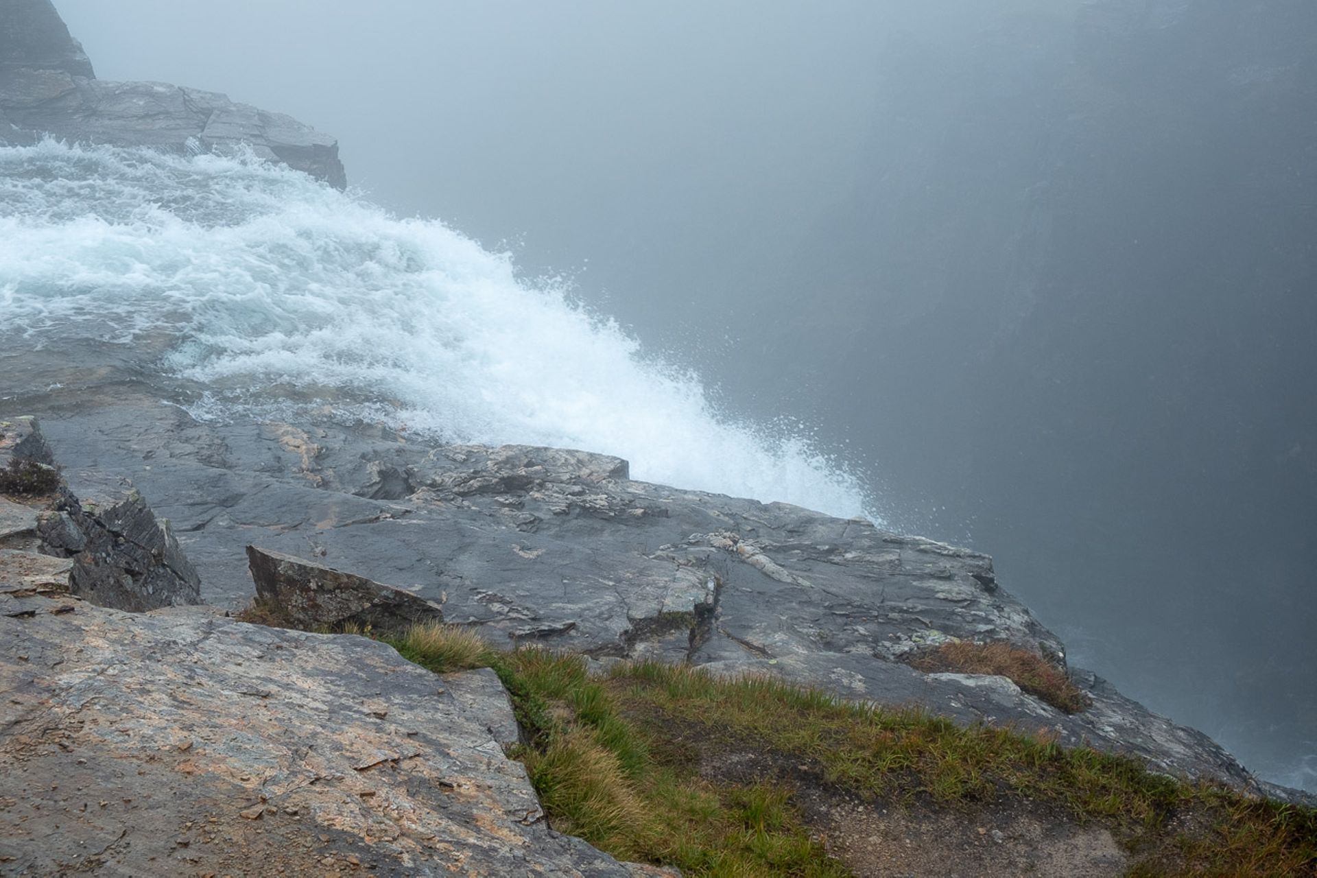
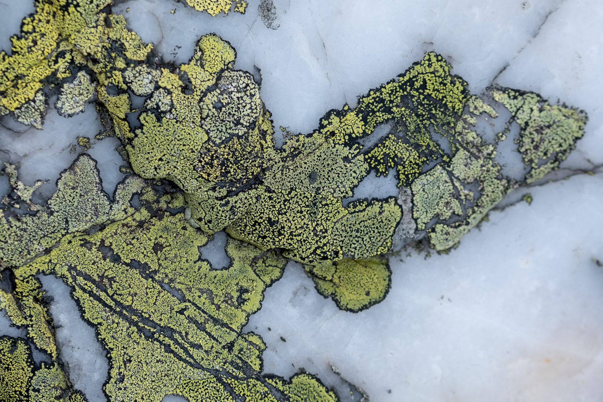
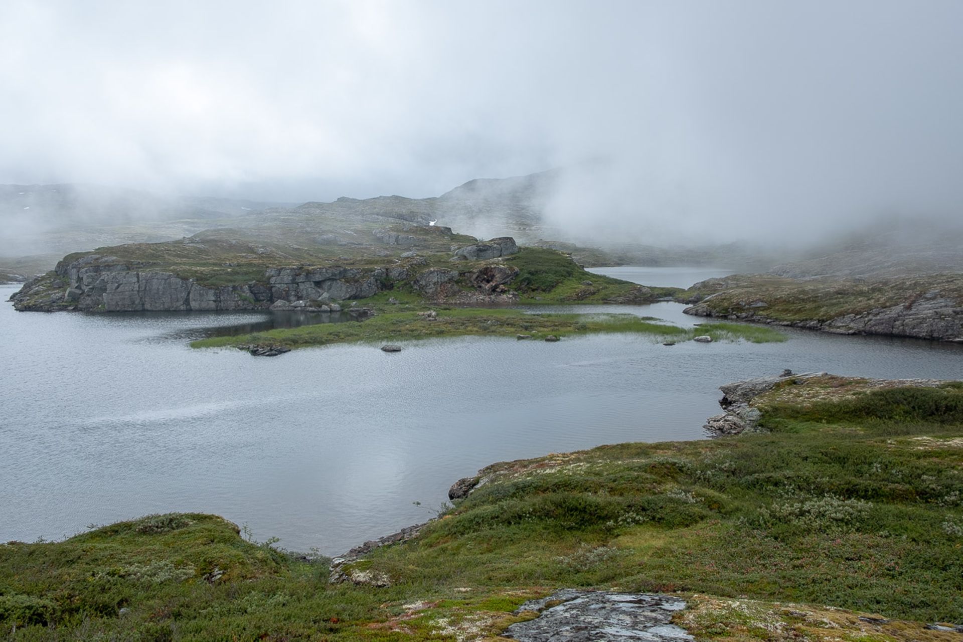
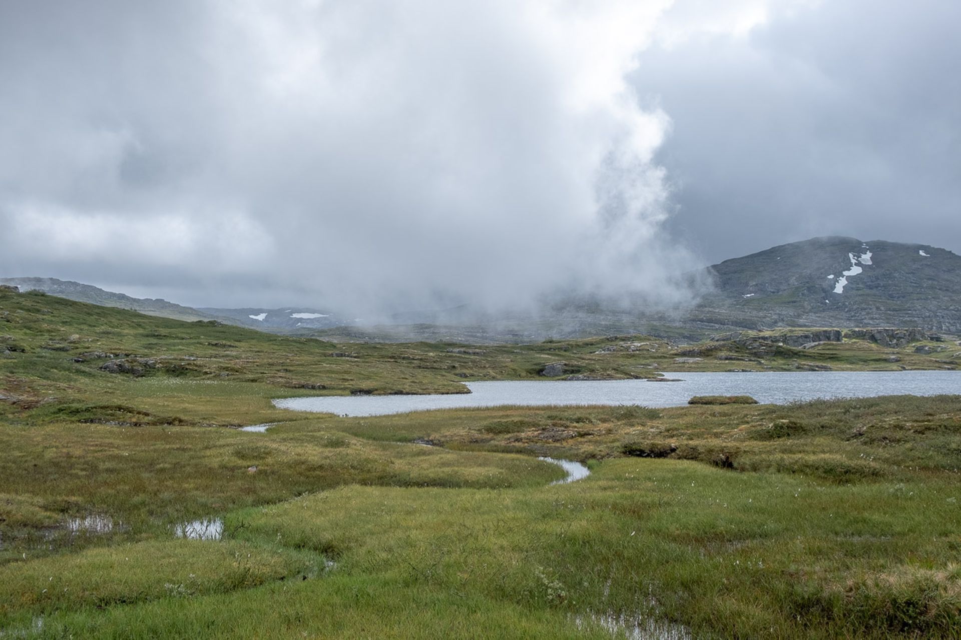
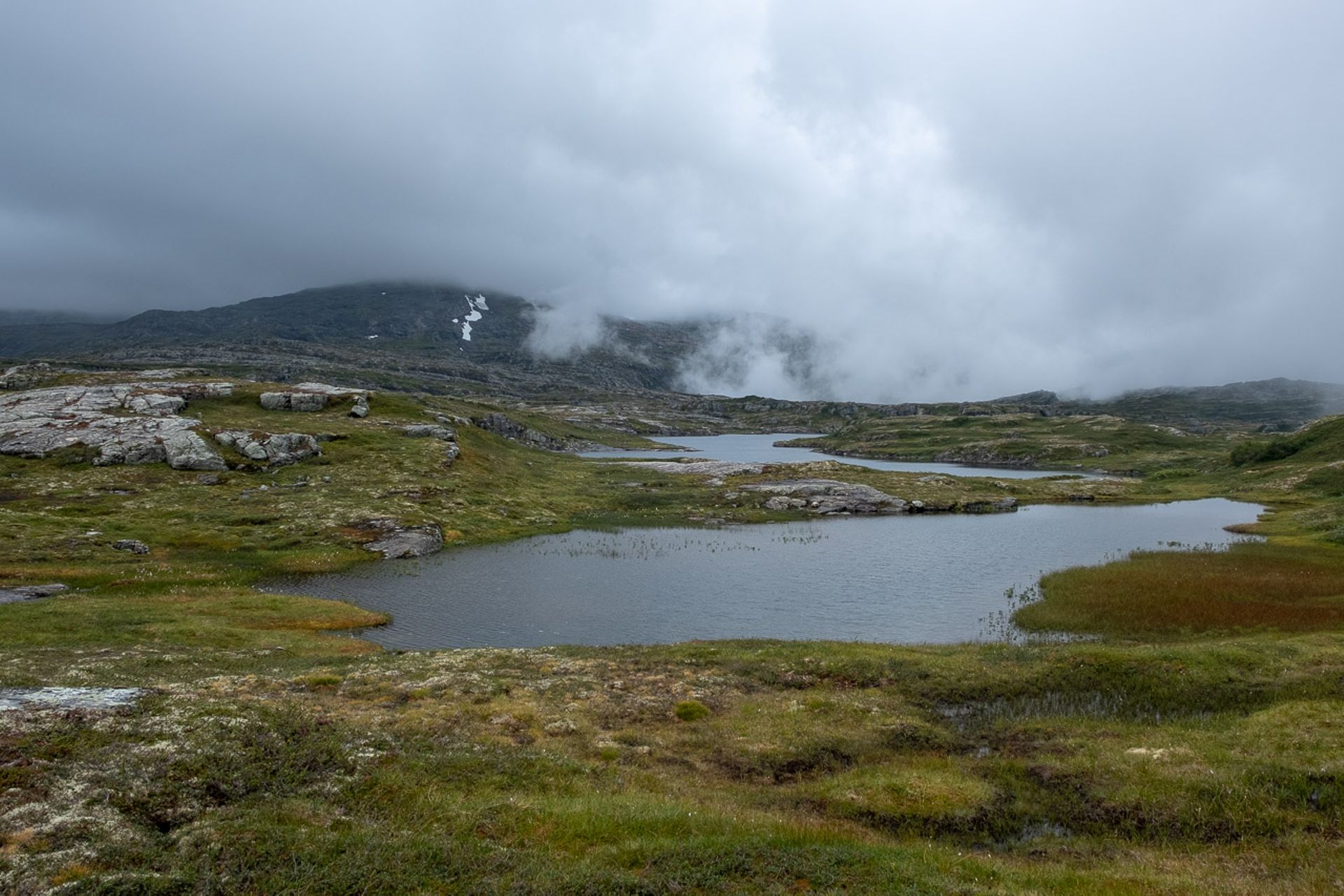
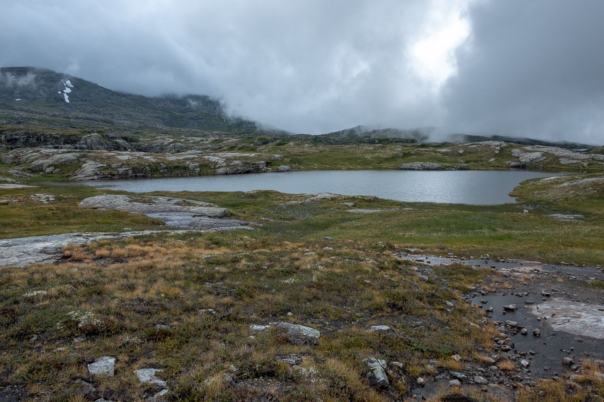
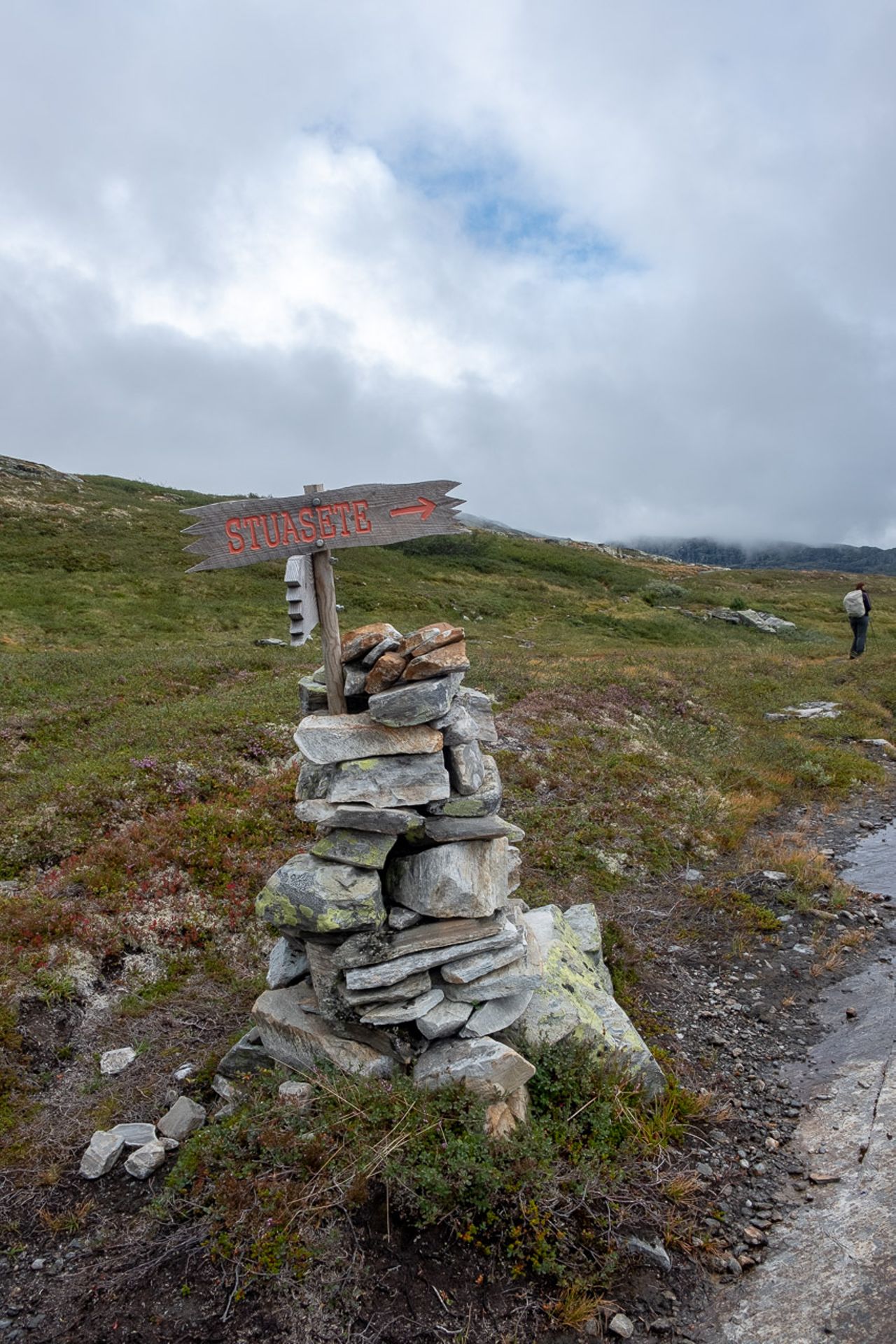
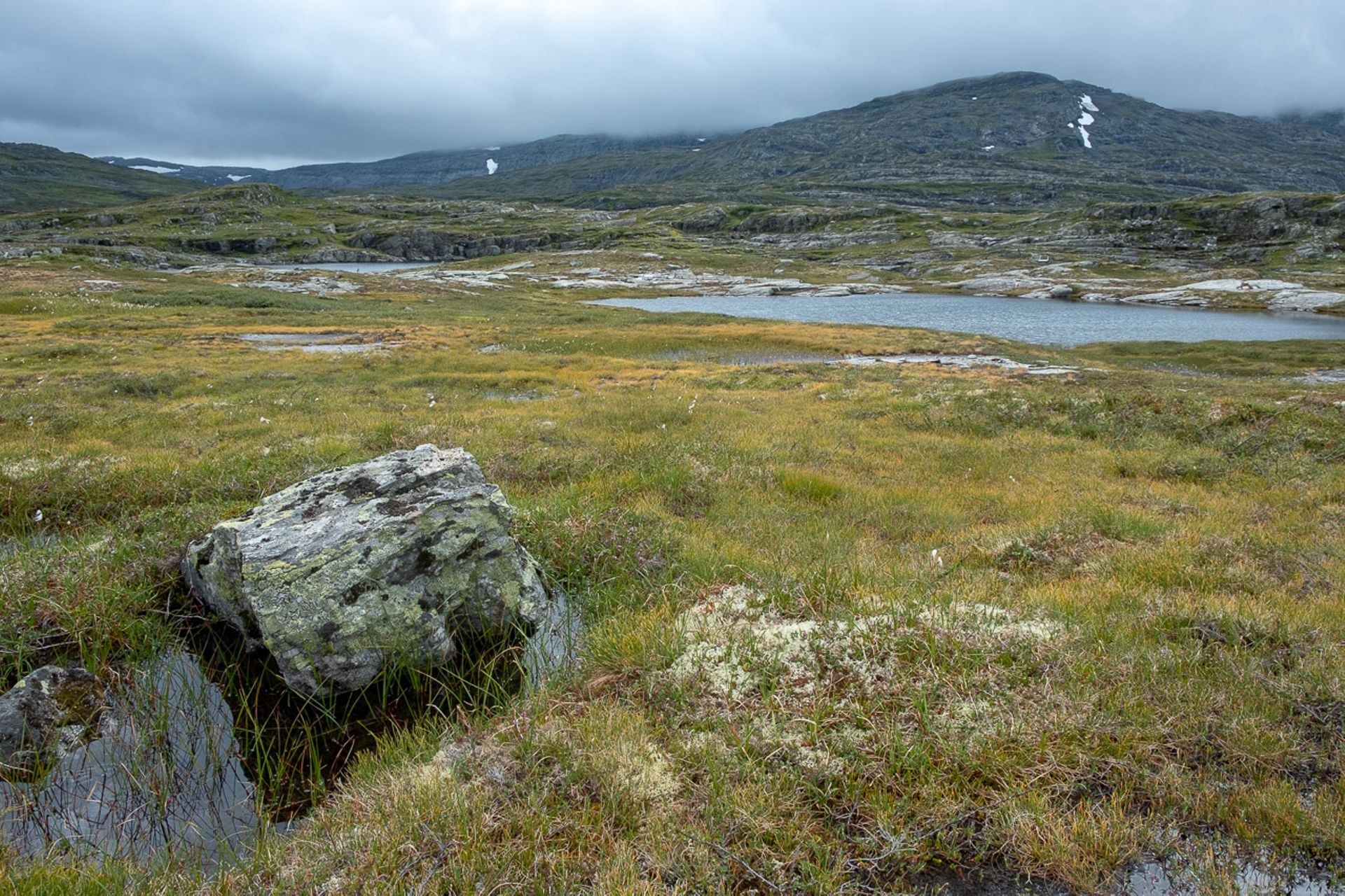
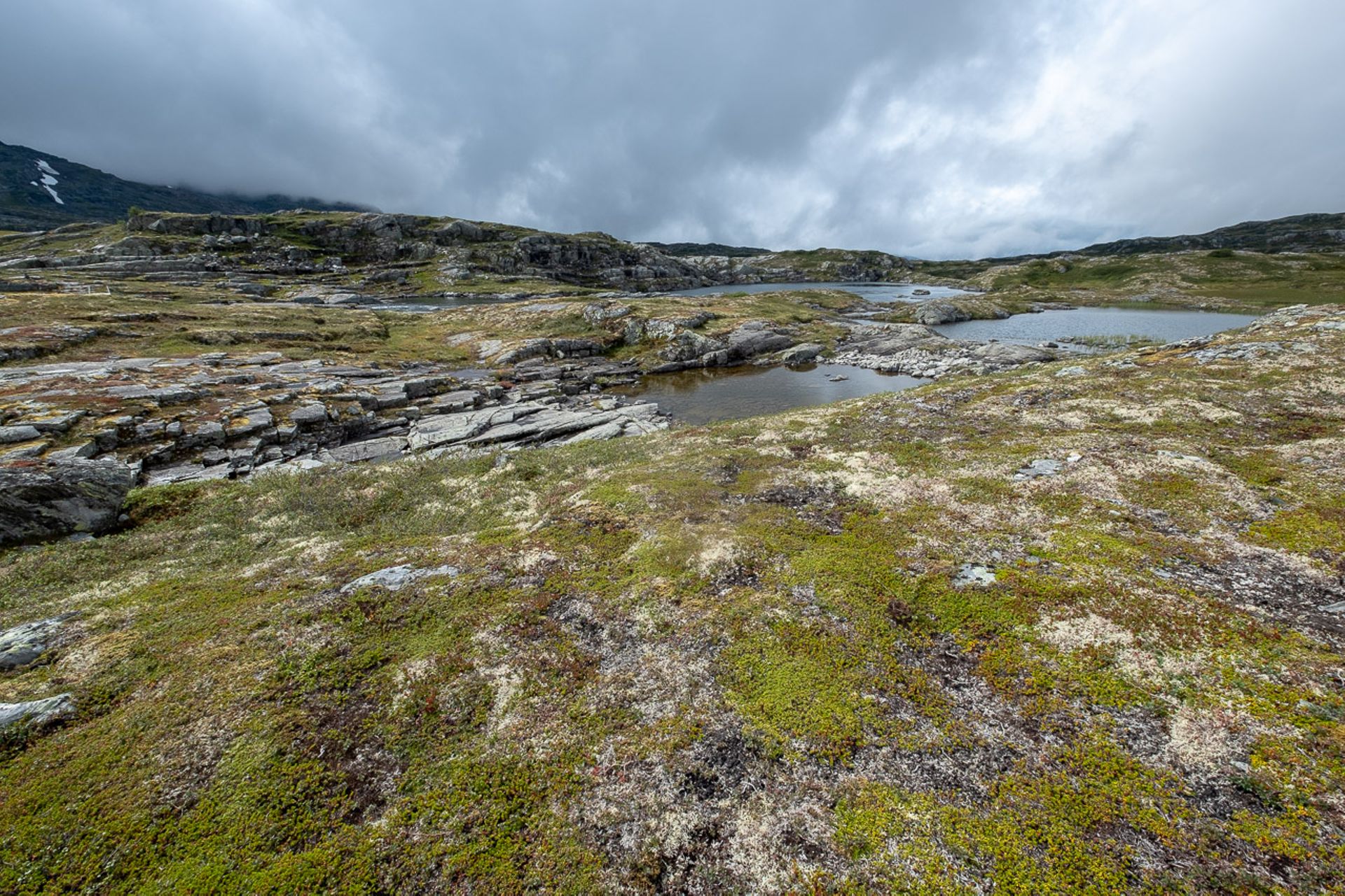
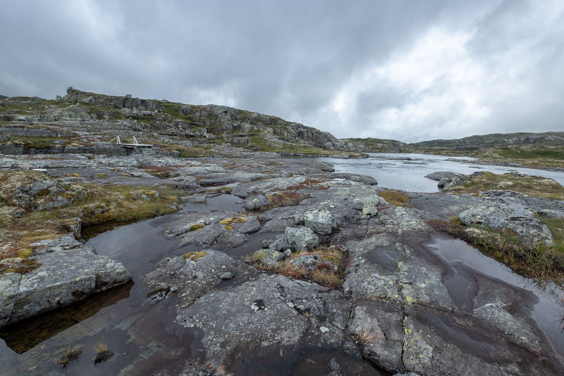
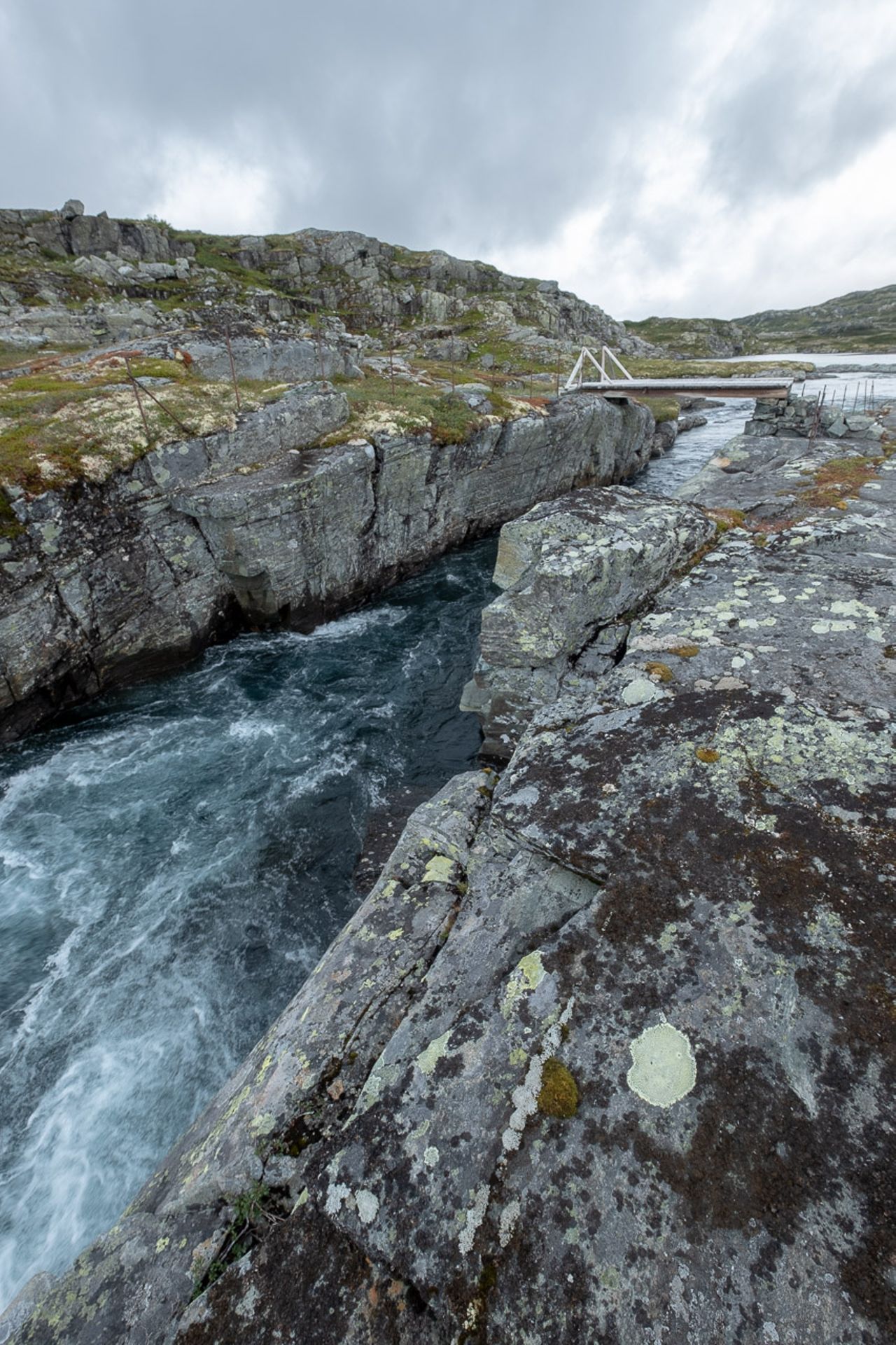
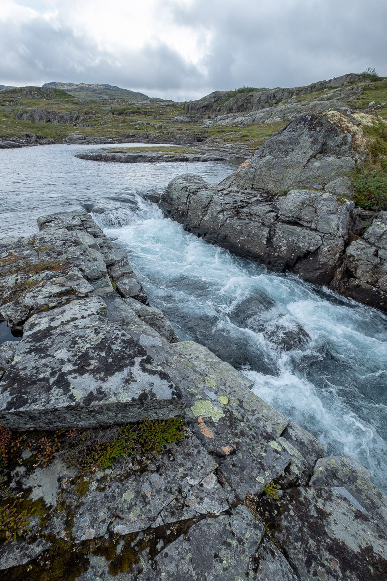
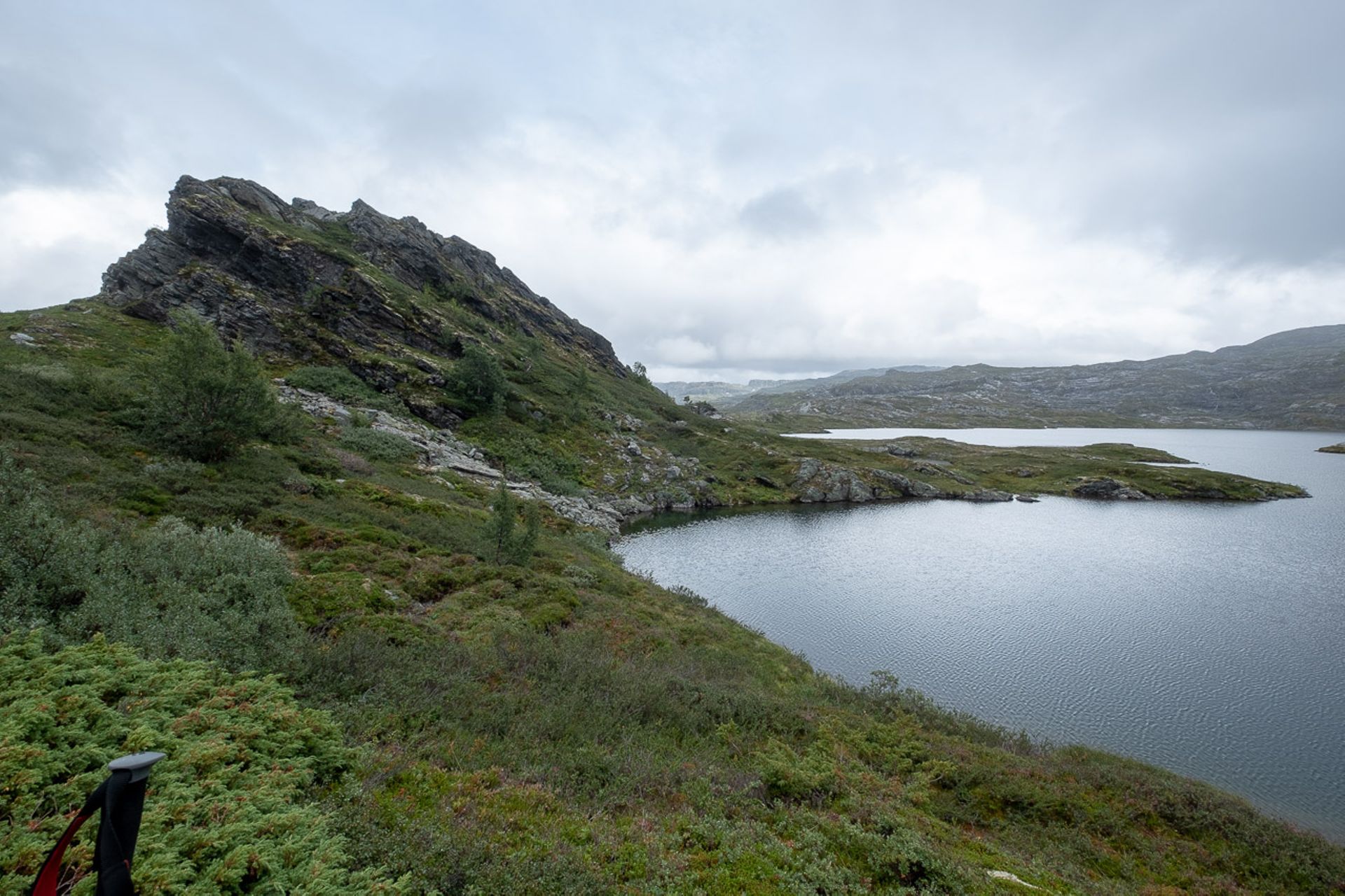
The hike starts in Ullensvang near Kinsarvik and begins with a relatively steep ascent that seems endless. After the first third of the ascent, it starts raining heavily, which dampens the mood a bit. Nevertheless, we continue hiking stoically, and when we reach the so-called "Mönchstreppe", the last third of the way up, we are still damp despite our rain gear. It's hard to say whether it's because of sweating or if our clothing is leaking. After three and a half hours, we reach the top and take a well-deserved break. On our right, there is a deep cut in the mountain slope with almost vertical rock walls, down which a waterfall plunges. Suddenly, winds drive a dense fog up from the cut, appearing out of nowhere. We are quickly enveloped by it. After the break, we climb the last few meters up to the Vidda, and finally, the view of the landscape that I have been thinking about for days, with its mystical name, opens up to me. And it truly is mystical. Rocky terrain covered exclusively with lichens and low ground-covering plants such as blueberries, moss, and reindeer lichen. Water runs and trickles everywhere, collecting in smaller and larger puddles, ponds, and lakes. Dense fog sweeps over the plateau; where there was just a hundred meters of visibility, it can suddenly become a murky mess five seconds later. Occasionally, the sun briefly breaks through, but only faintly. The wet rocks, even with hiking boots, are very slippery, and so our hiking poles come in more than handy for the first time. By the way, up here, there are no signposts as you know them. At irregular intervals, small and large piles of stones are stacked, many of them marked with a red "T" to mark the route. In the dense fog, it is sometimes difficult to make out the next waypoint. But we do not rely on the stone piles alone; we have a navigation app called "Locus" on our mobile phones, along with the imported GPS track from the hiking guidebook, which could easily be described as super. On the sporadically placed information boards, it is stated that there are about 10,000 wild reindeer on the Vidda, but unfortunately, we do not see anything of them except for their tracks and droppings. After a good stretch in the "Fjell", doubts arise as to whether we will be back down before dark, as we have already exceeded the time indicated in the hiking guidebook for the turning point. From there, we step up the pace and I reduce the frequency of my photos.
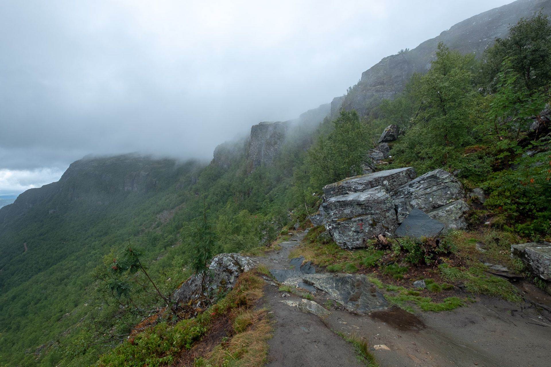
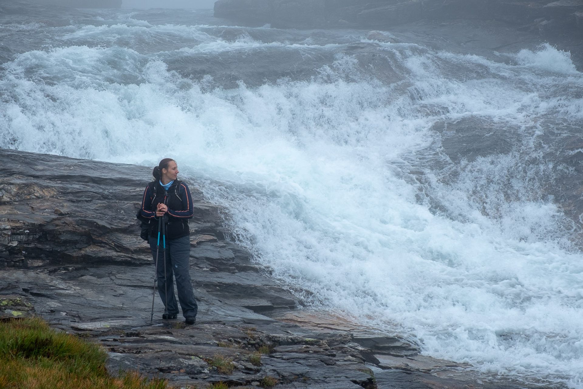
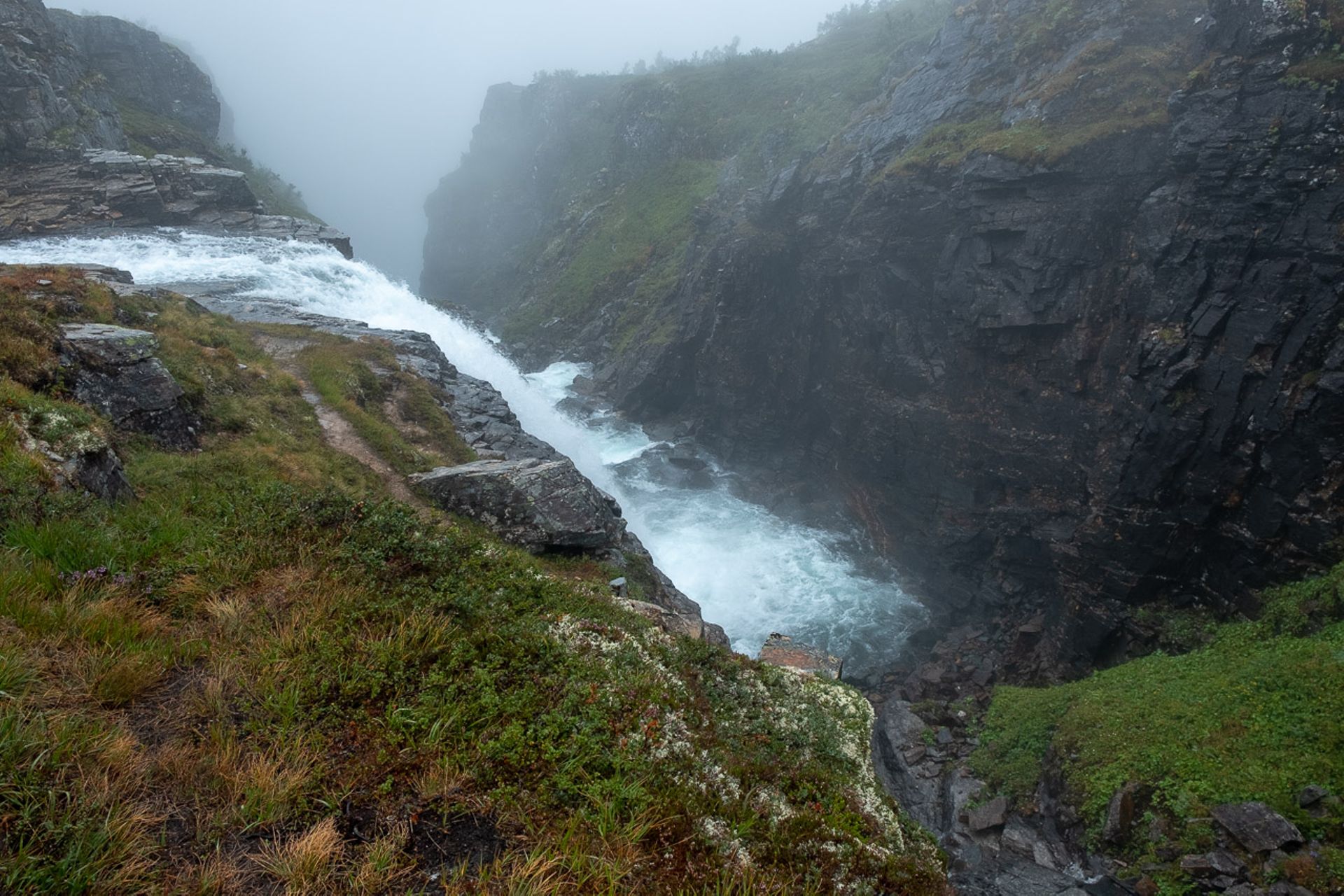
The strength slowly diminishes, and a previously suppressed thought gains prominence in my head. What will the descent be like? Are there exposed sections? The hiking guidebook said "surefootedness, a head for heights, and fitness required", and it mentioned a descent along a ridge. But first, we have to find the path again; the stone piles become scarce on the way back towards the edge of the Vidda, and the terrain becomes more difficult. A small river flows down the slightly sloping terrain next to us and seemingly disappears into nothingness. Then it becomes clear to me that this nothingness is probably the waterfall we saw at the other end of the ravine during our break, and behind the edge, there are the aforementioned vertically dropping rock walls. So, we don't go along there. Now we strictly follow "Locus" and find the path again. The ridge turns out to be mentally manageable for me, as it is already below the tree line and not exposed. However, the path is extremely steep and interspersed with rocks, and in many places, the ground is muddy and accordingly slippery. For a moment, my feet slip and I land on my back, but fortunately, nothing serious happens. The second time, it's my companion's turn, whom I see tumbling into the wet fern. Thank God, she is also fine. From then on, we exercise even more caution, which makes the descent physically and mentally exhausting. It seems never-ending, and our knees start to cause problems. When we reach an altitude of about 400 m above sea level and Ullensvang seems very close, we have reasonable doubts about the accuracy of the GPS track. Where the track is supposed to go straight into the town, it takes a turn in the opposite direction. Moreover, 400 m of elevation gain over a distance of maybe 1 km - 1.5 km sounds somehow implausible.
So we add another 5 km, to finally arrive back at the car with our last bit of strength, sore feet, and aching knees. Despite all the hardships, a feeling of pride and satisfaction arises in me; we have mastered this difficult tour despite all adversities and arrived safely, enriched by priceless impressions.
Feliratkozás a hírlevélre
Válasz (1)
Bernhard
Spannend, erinnert mich etwas an eine Wanderung vor Jahren im Luberon auf den Mourre Negre, nur das damals die Hitze der Gegner war, aber das tolle Gefühl, es geschafft zu haben und die Eindrücke unterwegs bleiben!