Alamosa - Continental Divide - Durango
Tshaj tawm: 27.08.2019

Sau npe yuav ntawv xov xwm
22.05. / Sunday / Alamosa-Durango
At 7:00 a.m. we sit down for breakfast after trying to stay in bed until 6:30 a.m. The jet lag is still present.
In the lobby during breakfast, we meet two girls from Chemnitz and Dresden who are equally obsessed with the USA as we are, and we exchange travel experiences. At some point, an older hotel guest comes down the hallway and says he thought a complete school class was talking in the lobby, or whether we are a women's club that goes on vacation once a year without their husbands and talks non-stop here! We totally forgot it was Sunday and it's only 8:00 a.m., and the lobby echoes a lot and there are corridors to the rooms on both sides.
We are in the car at 8:30 a.m. and first get some salad, yogurt, and fruit at Walmart, and continue our drive west on Highway 160.
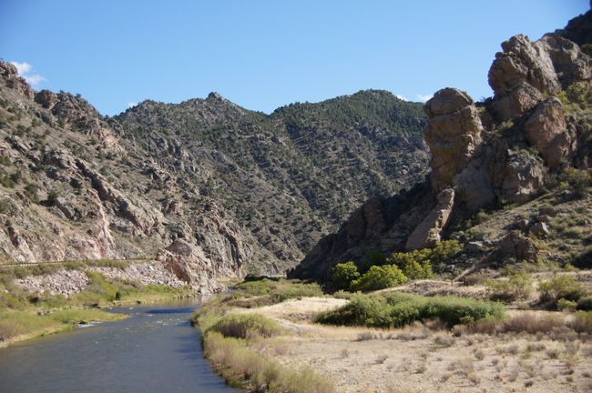
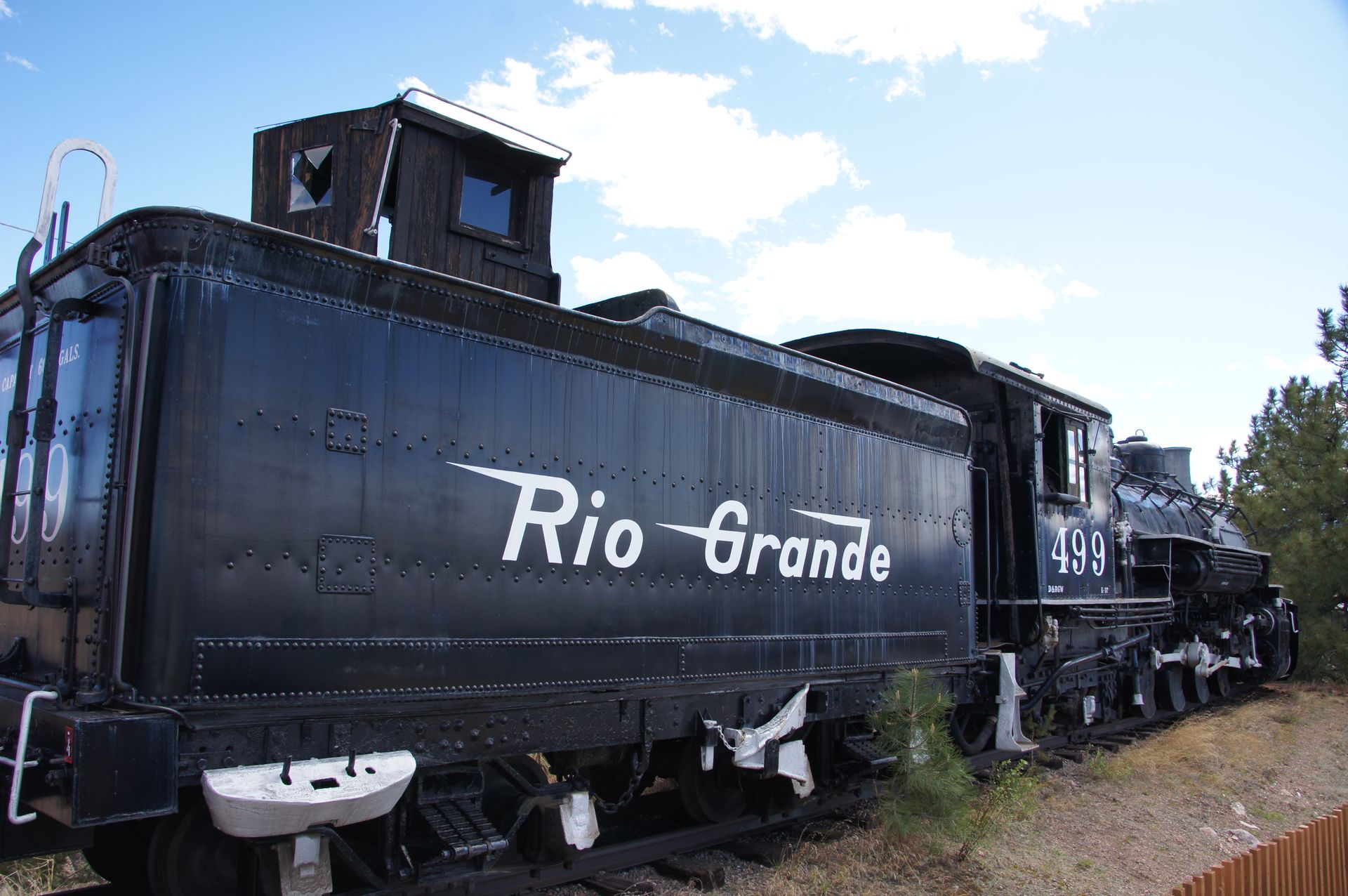
Initially, the landscape is flat. We drive through a primeval lake bed, with hills and mountains on both sides and ahead, some of them covered in snow. The Rio Grande is often next to us.

The Rio Grande
The Rio Grande comes from an elevation of 3,600m in the Rio Grande National Forest. The water it carries is mainly from the melting snow. Since we are near a continental divide, the water flow is divided into the Rio Grande on the eastern side of the mountains and the Animas River, Colorado River, and ultimately the Lake Powell on the western side.
The villages we pass through are shorter than their names, and some of them consist only of scrap heaps and empty buildings. Even empty fast food restaurants are the norm here. Everything is deserted, well - it's Sunday.
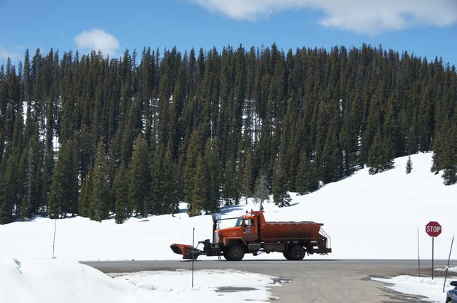
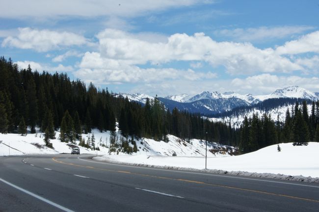
It gets more beautiful after South Fork. We are in the Rio Grande National Forest. The road climbs about 1000 meters and at the Wolf Creek Pass in the San Juan Mountains, which are the home of the Rio Grande National Forest, there is still a lot of snow. We are at an altitude of 3,300 m here.

Wolf Creek Pass

Then we reach the Continental Divide, the continental watershed.

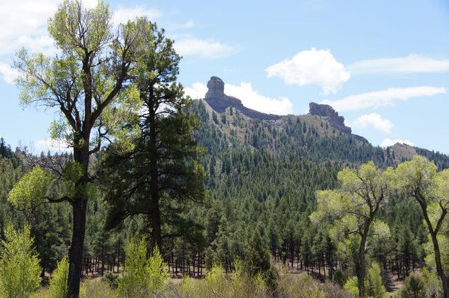
The way up leads through typical mountain landscapes, often with forests, rocks, and soon also snow, smaller waterfalls, and blue sky. We take some photos and continue driving.
We then descend nearly 1,000 meters into a fertile valley that has formed around the Rio Grande. Here, the river is wild and turbulent, stirred up by the melting snow, but also surely a good rafting area.
We make a short stop in Pagosa Springs. Here, there are some of the hottest springs in the world, with water temperatures of 67°C.
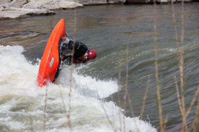
Although it smells a little sulfurous, the fresh breeze makes it bearable. We sit behind the visitor center in the sun and I watch a kayaker trying to navigate a rapid against the current in front of us, offering a good photo opportunity with some Eskimo rolls.

Pagosa Springs
About 45 miles past Pagosa Springs, we reach Durango.
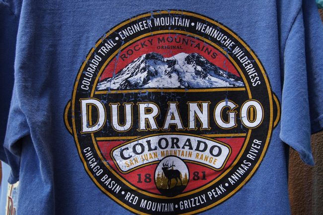
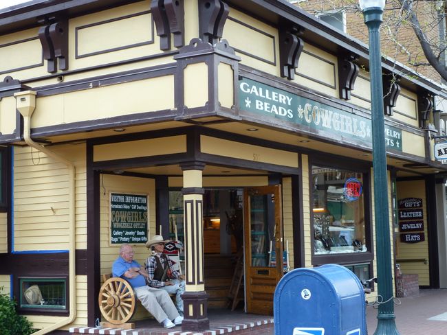
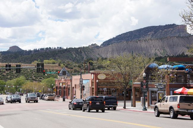
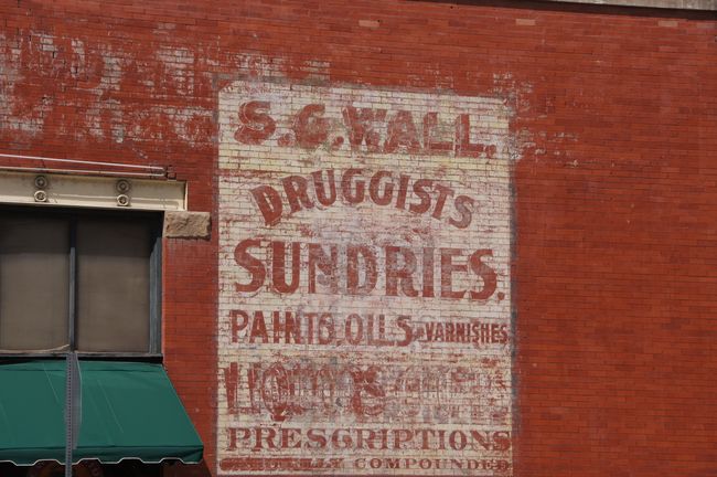
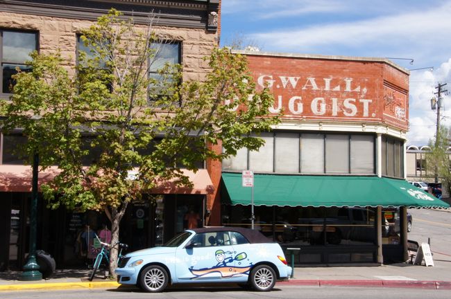
Our hotel is centrally located, which is no big deal considering there are only 15,000 inhabitants. We get a coffee at Starbucks and stroll up and down Main Street.

Durango

Durango


Durango
The sun is shining, and although we are 2,400 meters high again, it is still over 20 degrees. Finally, some shops! The center has a bit of an old western town flair. At 5:15 p.m., we go to an early bird dinner at a very nice restaurant and enjoy delicious food.
Because we ate early, we are back at the hotel early. There has been a heavy thunderstorm and it has rained a lot.
Afterwards, it is noticeably cooler. We sit on the balcony of our room with a can of Budweiser and a candle, looking at the evening sky. It's cold now at this time. But no wonder at this altitude.
Sau npe yuav ntawv xov xwm
Teb
Daim ntawv qhia txog kev mus ncig Teb chaws USA

