Ostsee Vacation May 2021 Day 7
Publié: 22.05.2021
Day 7
May 21, 2021
We have a strenuous day ahead of us: we are climbing the Brocken in the Harz Mountains.
The early bird catches the worm. Following this motto, we are already at our starting point for the hike at 8 a.m., packing our backpacks and lacing up our hiking boots. We found the route using the app 'Komoot'.
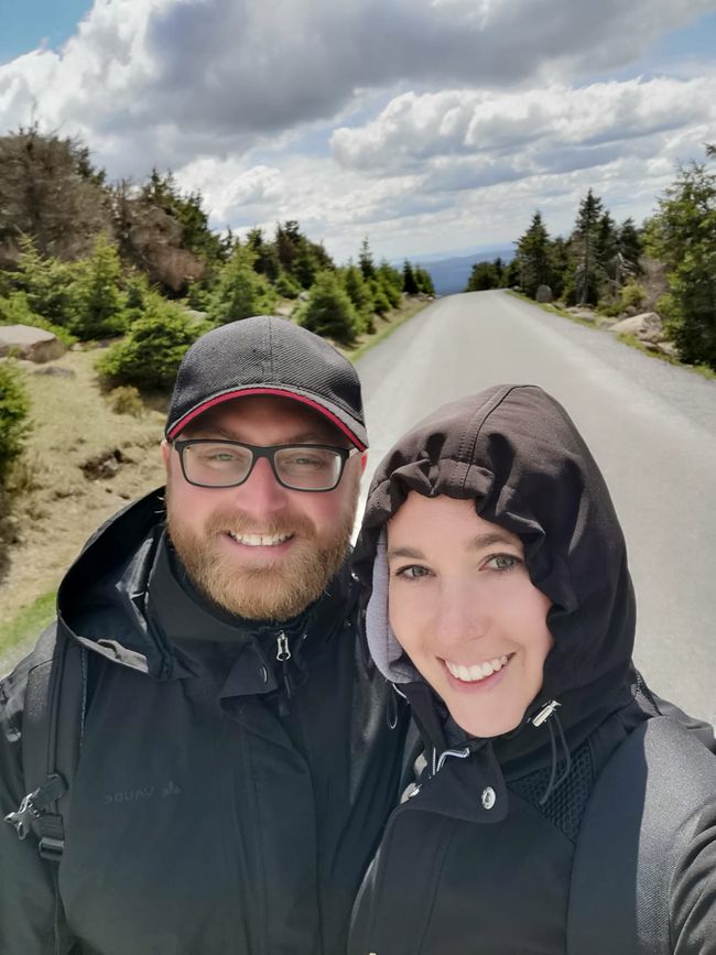
The wind here is so strong that we actually put on our winter jackets.
The 15 km hike is about to begin.
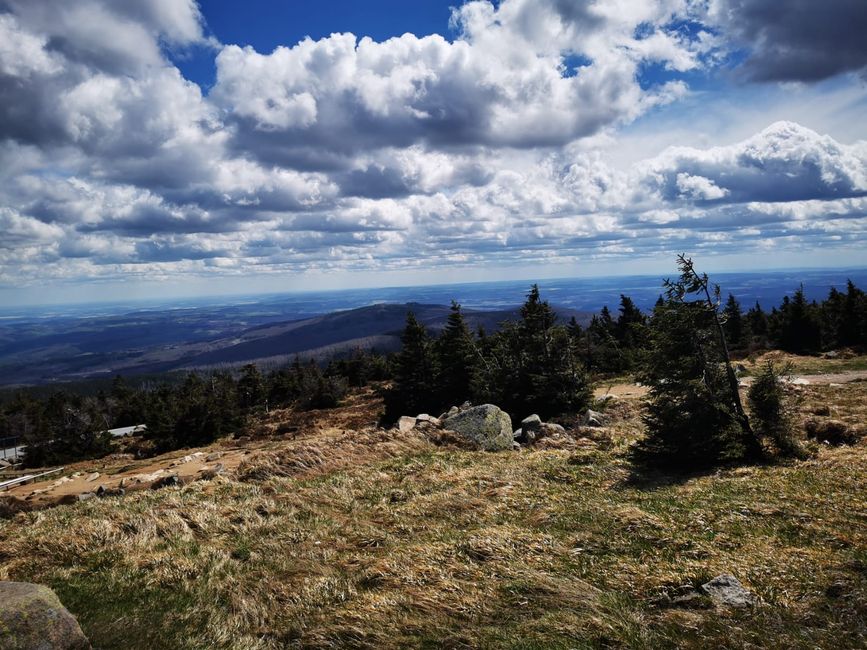
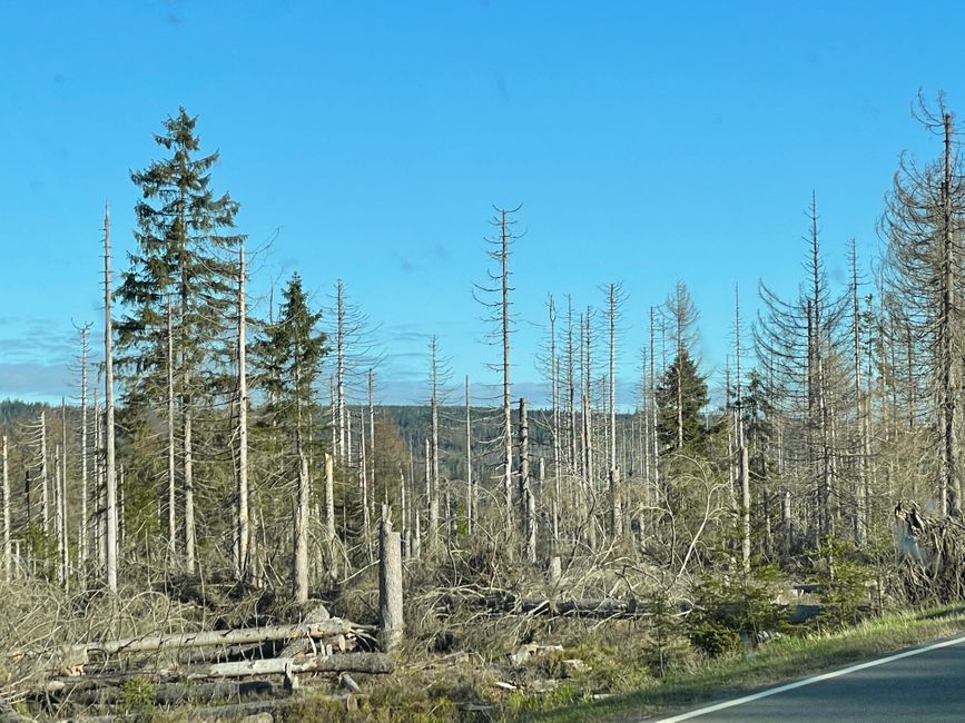
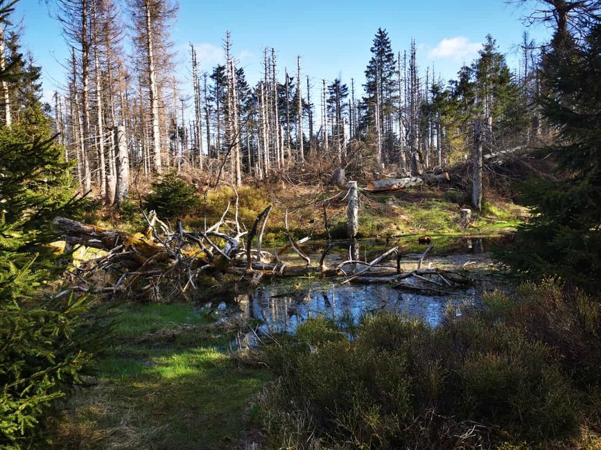
The first 3 km are a gentle ascent, but I soon have to take off my jacket as it doesn't get as drafty between the trees and I start to get very warm. With the many dead and cleared fir trees, it looks like a scene from an apocalyptic movie with a nuclear fallout. It looks very similar to a video game of the same name. We reach the inner-German border with the GDR and follow this border. Suddenly, the path becomes very steep uphill. Exhausted, we take a few minutes break before continuing on the path that runs parallel to the tracks of the Harz Narrow Gauge Railway. Here we have to put on warm clothes again, as the wind is so strong around the bends that you almost fly off the mountain. The sweaty clothing doesn't necessarily contribute to a comfortable feeling. We meet the first hikers and they greet us friendly.
Now the path follows the tracks for a while and we have a view of the summit. Of course, we still have to constantly put on and take off the jacket. This continues all the way up the mountain.
We now leave the tracks as our companions, as our path leads onto a paved road and branches off from the tracks.
The steam locomotives do not currently run to the Brocken, as the incidence rate is still over 100. Only when the incidence rate is below 100 for 5 consecutive days will the trains run again.
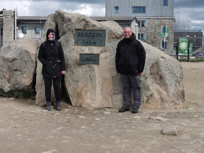
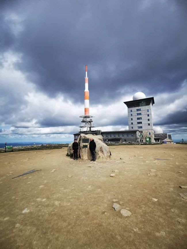
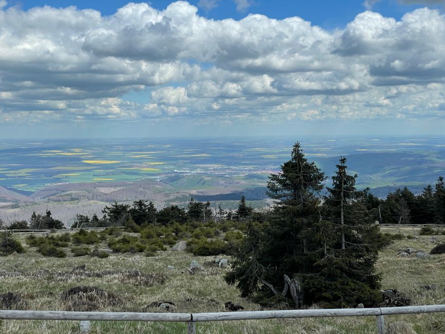
The second steepest part of the ascent is now ahead of us. After some breaks enjoying the view, we reach the summit of the Brocken around 10:30 a.m. Now the wind really picks up and my cap flies off. We learn that the wind here blows over the summit with speeds of 8 - 9 on the Beaufort scale. These are wind speeds like during a storm.
A very nice National Park ranger gives us a little private tour of the area and we learn many interesting facts.
After a while and a small snack, we begin the descent. It is the same path that we ascended. By now, it has gotten quite crowded. Another reason to go down.
With slowly emerging foot pain, we finally reach our car. We were on the trail for 6.5 hours and the app says we walked 17 km.
Once we arrive at the original parking spot, we take some time to rest. Suddenly, the idea comes up to just drive home now. After some back and forth, we actually do drive home and arrive around 8:30 p.m.
A very nice short vacation comes to an end, in which we experienced a lot.
Next time we will go on a trip in the summer. We don't know yet where exactly. Portugal, Romania, Scotland are on the list.
Thank you for reading
Your Annika and David
Répondre

