Hiking and cycling tours in the heart of Bavaria
Nai-publish: 29.12.2020


Mag-subscribe sa Newsletter
Since the beginning of Corona, we have all been quite limited in terms of travel, including me. Due to my profession, I had a lot of time for small hikes and bike tours in my local area during the first lockdown and now again. So, you can find them all in the vicinity of Berching.
I would like to share a few of them with you.
PS: This article can be understood as an advertisement for my beautiful hometown ;)
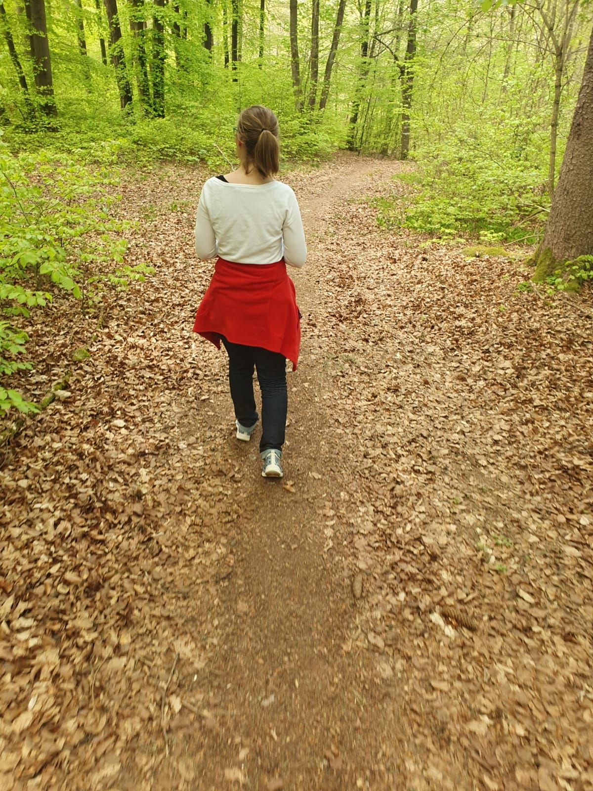
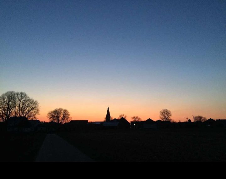
Spring hike in Gänsetal
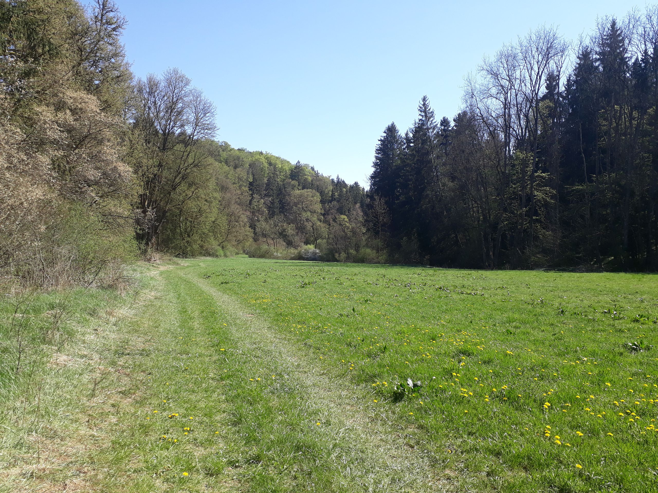
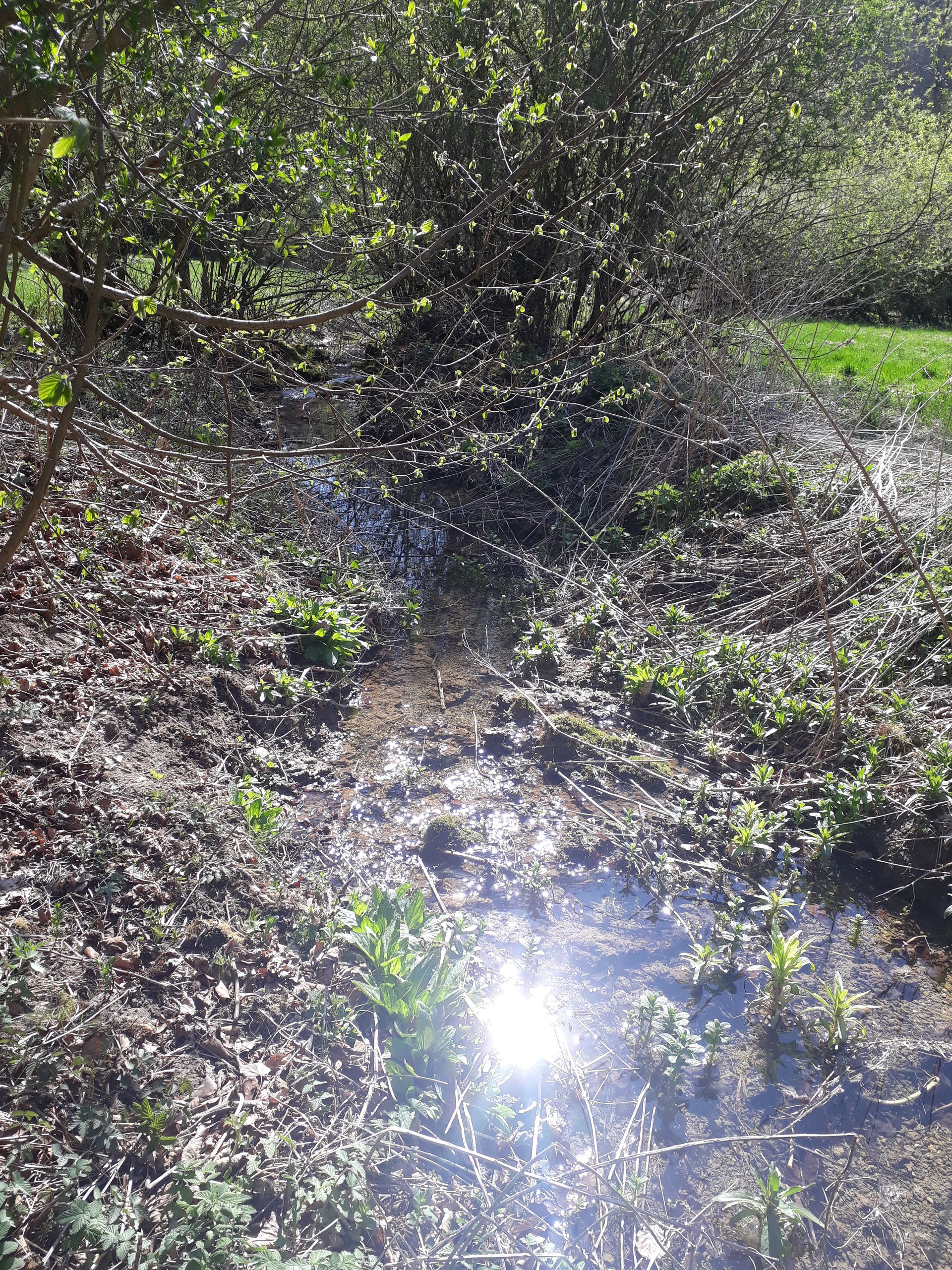
Hidden between the villages of Litterzhofen and Fribertshofen, there is a small valley called Gänsetal. It is very idyllic: a bumpy path leads through steep rocks, accompanied by a small stream, and eventually reaches the actual valley. There is a fire pit and a wooden shelter. And a lake. You cannot swim there, as it is too dirty. The stream continues flowing, as the valley becomes wider. Partly wooded. It looks a bit like a fairytale. This part is called 'the red ravines'. So, I walked along there in the warm April sunshine.
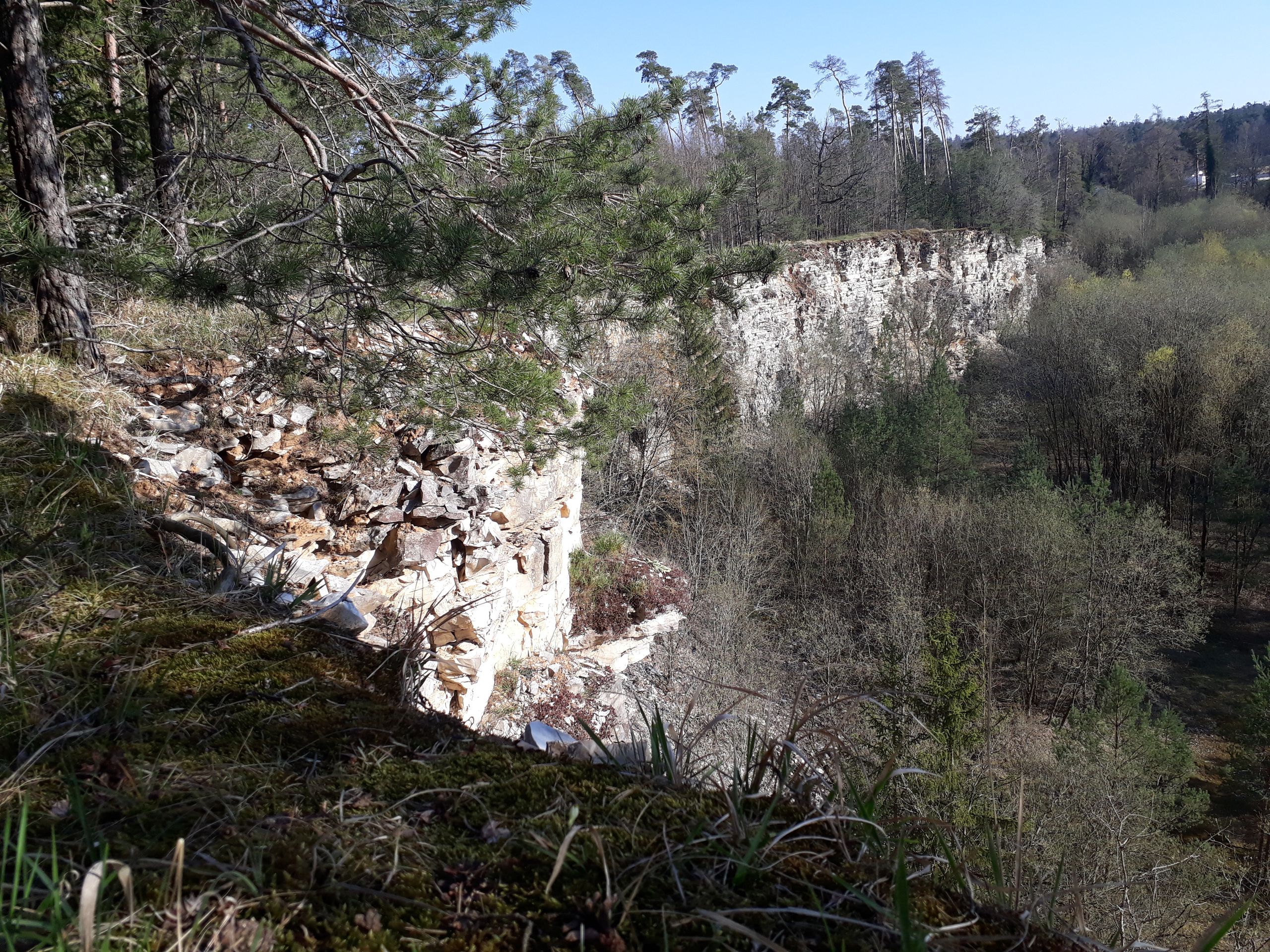
Then this valley ends and you come to a road that leads from Biberbach up to Litterzofen. I followed this road for a while towards Biberbach, but it was very hot and I longed for some shade. That's why I went back into the forest and found an old quarry. It has been out of operation for years, so I didn't really have any fear of going inside. However, when a tree unexpectedly broke off from above the quarry and fell down, I quickly left.
I followed a steep path uphill, where I was back in the forest, between Plankstetten and Biberbach. After a while, I reached Staudenhof. It is its own place, but there is only one house there, everything else, the whole farm with the cow pastures, belongs to Kloster Plankstetten. Behind it, there is another abandoned old quarry. I sat down at my favorite spot and relaxed before finally walking back home on field paths.
Jura Aktiv Tour
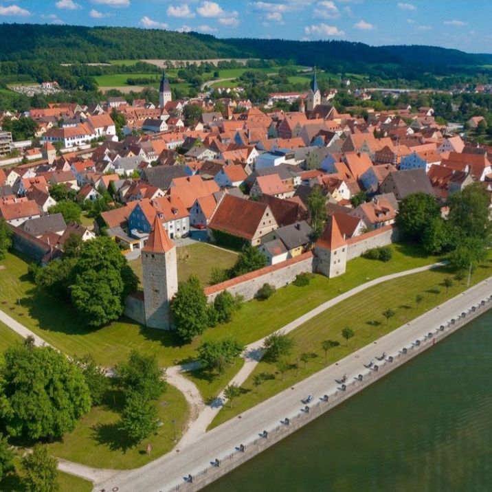
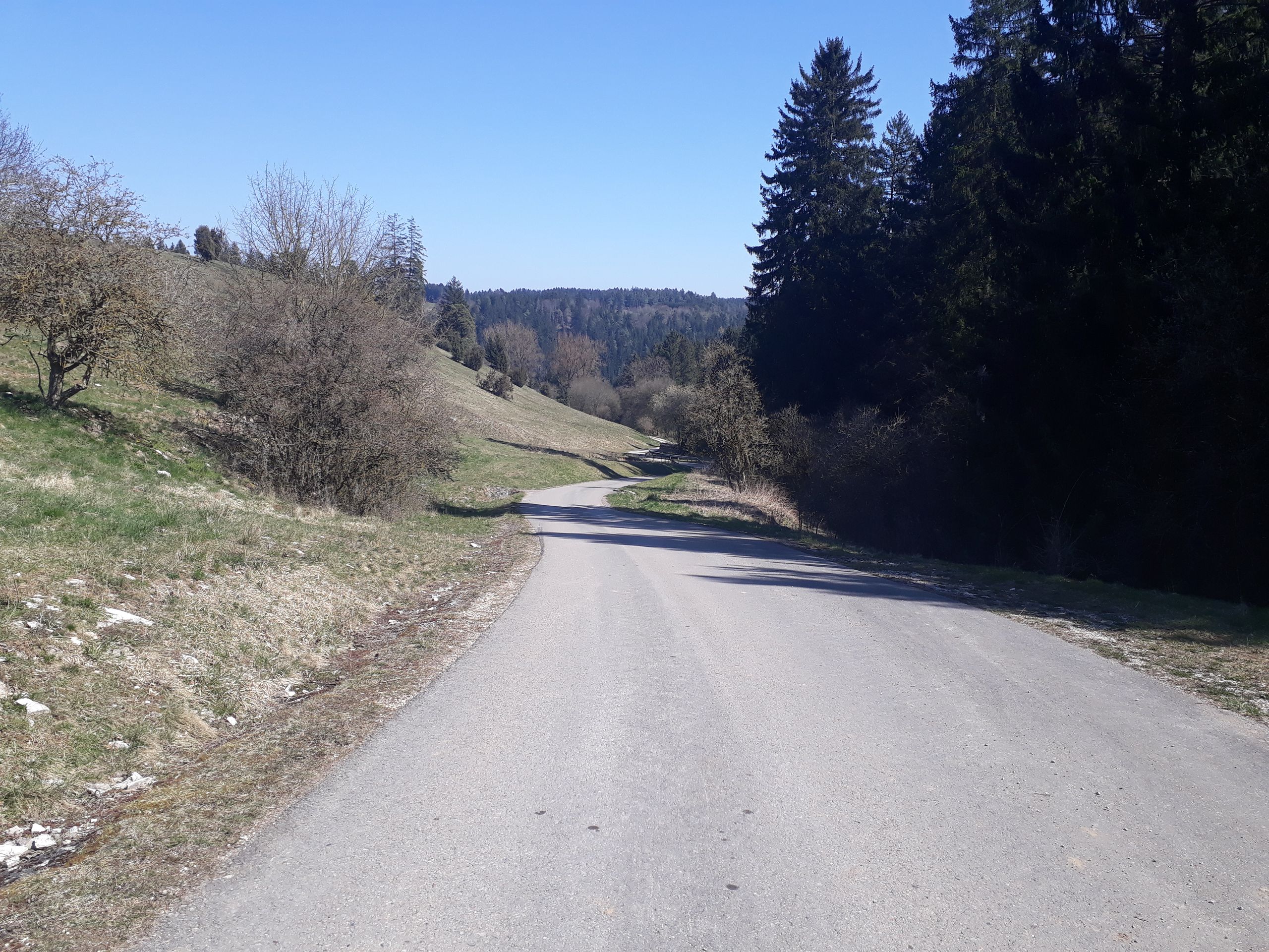
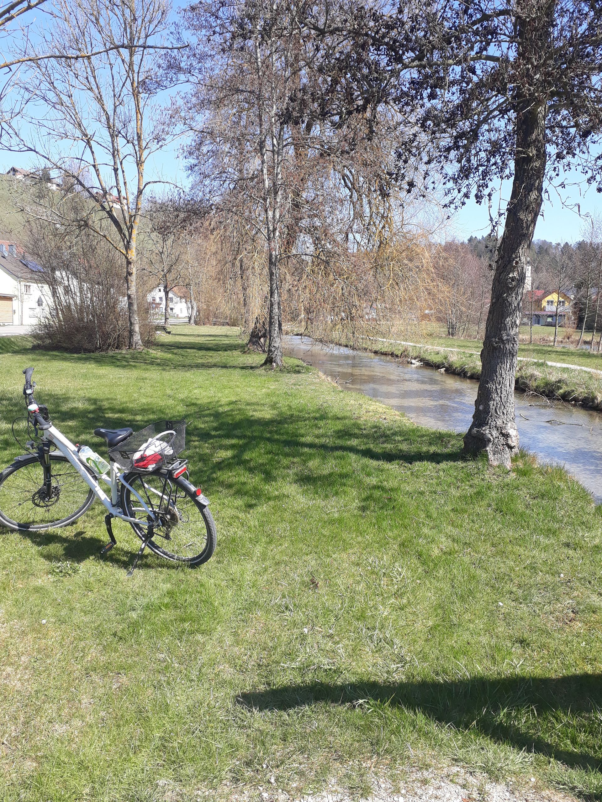
The lockdown and the good weather didn't allow us to spend the spring indoors, so my friend and I set off on a small day tour with our bikes. We wanted to ride the Jura Aktiv Tour. It is a beautiful route that takes you through the small towns of Berching, Beilngries, Dietfurt, and Breitenbrunn. The route also runs along lovely rivers like Laaber and Sulz, and literally over hills and valleys, through meadows and fields.
Benediktus Trail Hike
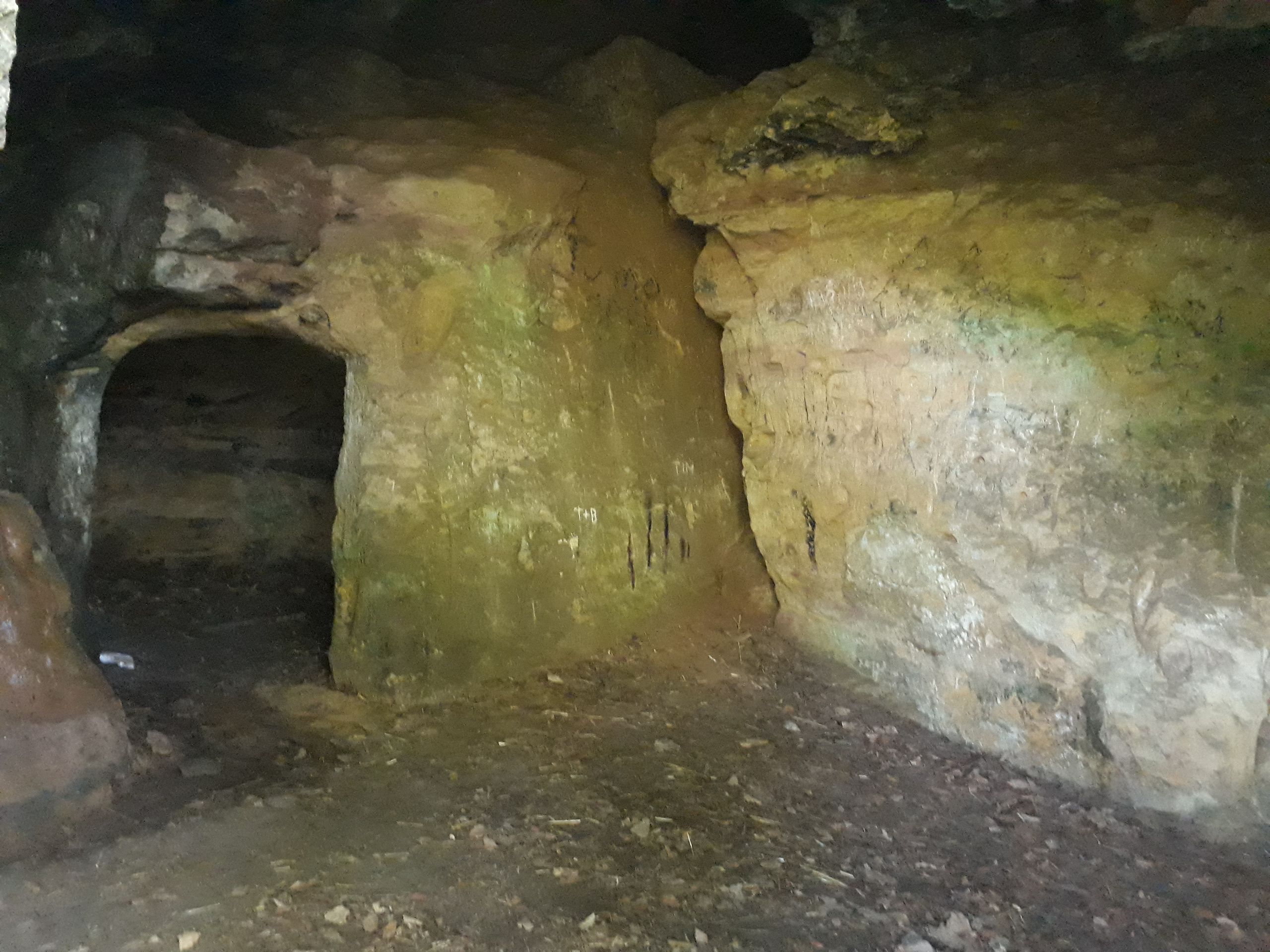
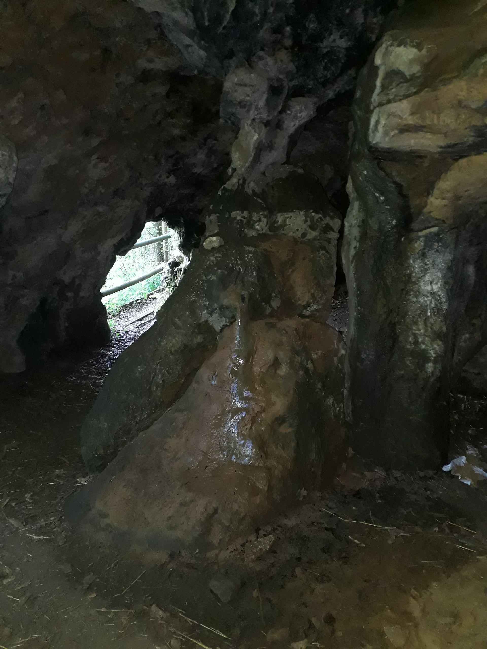
In May, I bought new hiking shoes. Of course, I had to break them in. And for that, I chose the Benediktus Trail, which leads from Plankstetten to Berching. Or vice versa. Anyway, I first went to Plankstetten and passed by the so-called Kruzerloch. It is a cave made of - I think - sandstone. We often came here as children. There is even a tunnel where you can walk a bit inside. According to legend, this tunnel once went all the way to Berching, but it must have collapsed at the latest during the Second World War, as my grandfather can't remember it either. Another legend says that a lonely hermit with the miraculous name 'Saugore Michl' lived here a few decades/centuries ago. However, it is certain that there are bats living here.
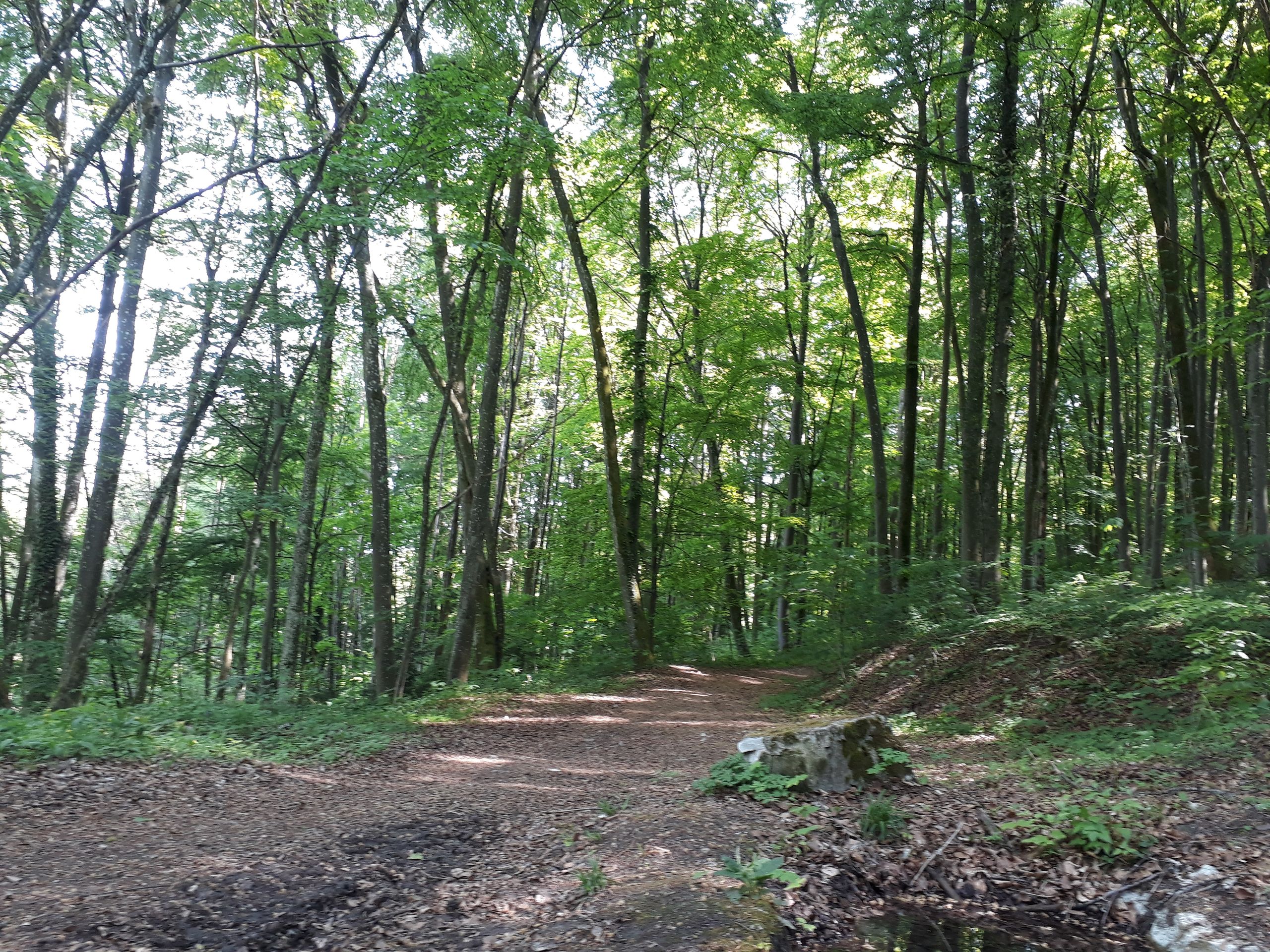
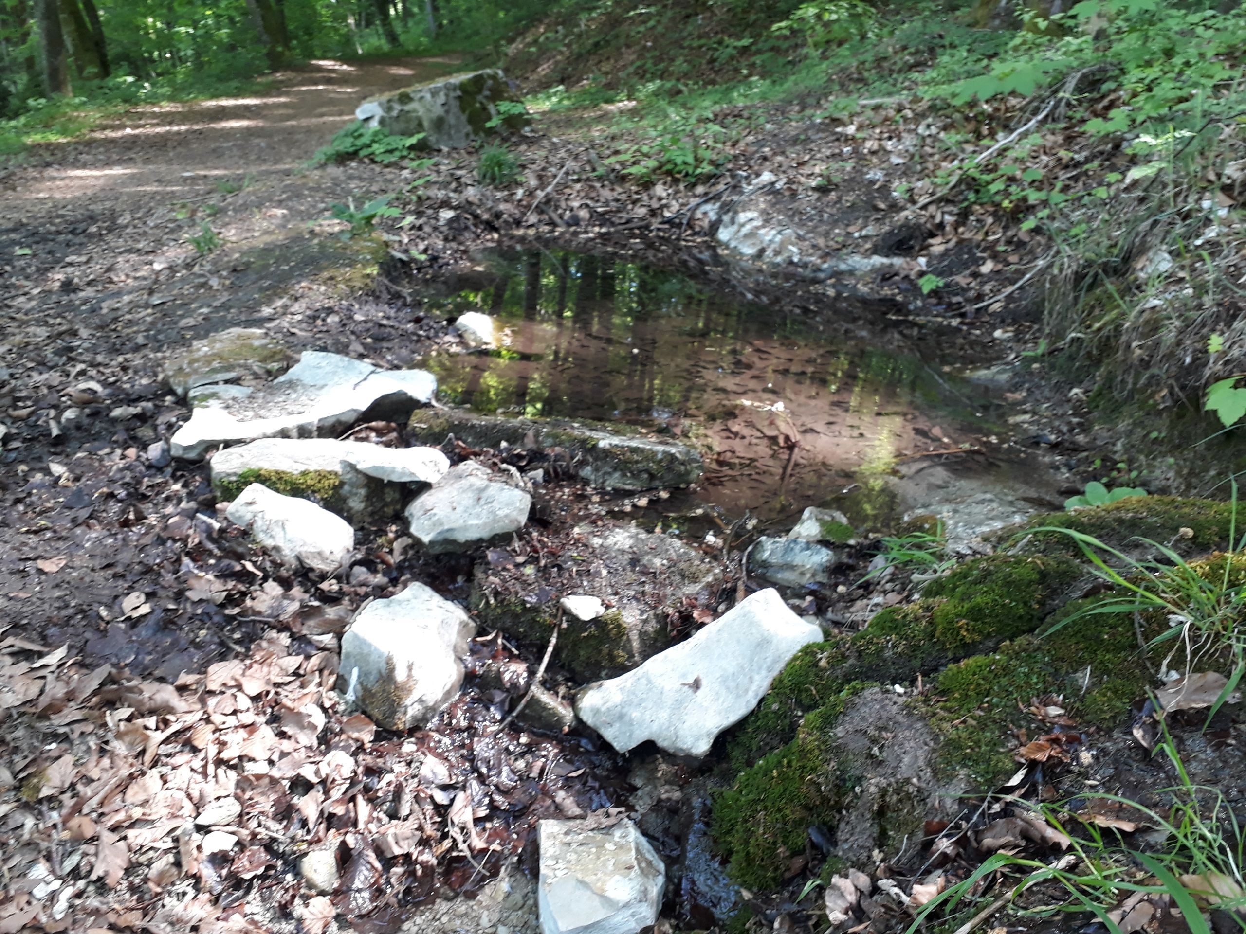
Afterwards, I followed the Benediktus Trail, which runs through the forest. Every now and then, I caught glimpses of the villages in the valleys: Plakstetten, Eglasmühle, and Berching. I passed by a spring and many information boards about the life of Saint Benedict. Why? Because there is a Benedictine monastery in Plankstetten. Finally, I was in Berching, but it was not enough for me. That's why I decided to cross-country through the forest towards Wirbertshofen. Over hills and fields, and through the Höllgraben, I finally made my way back home.
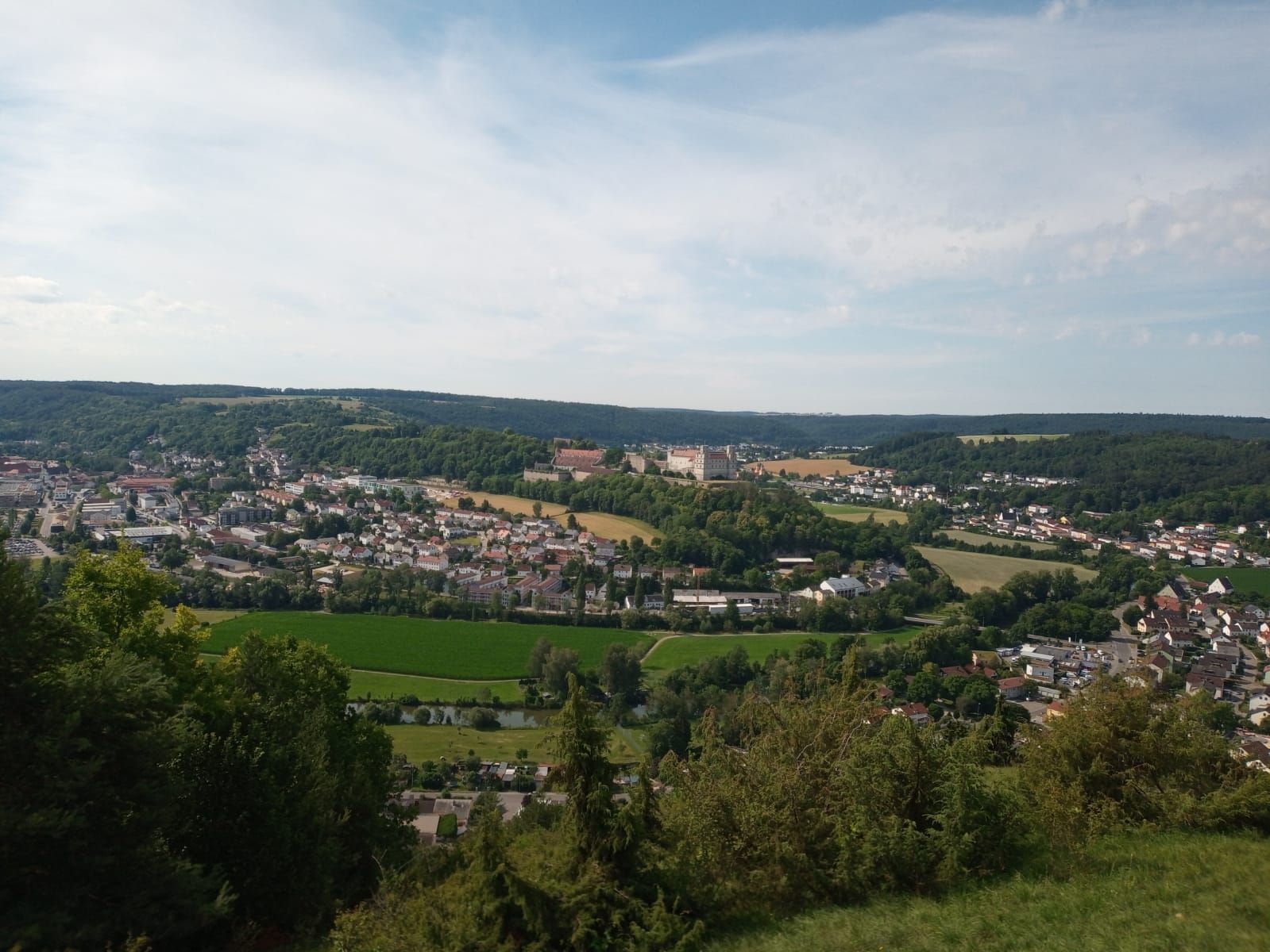
High Fountain Hike
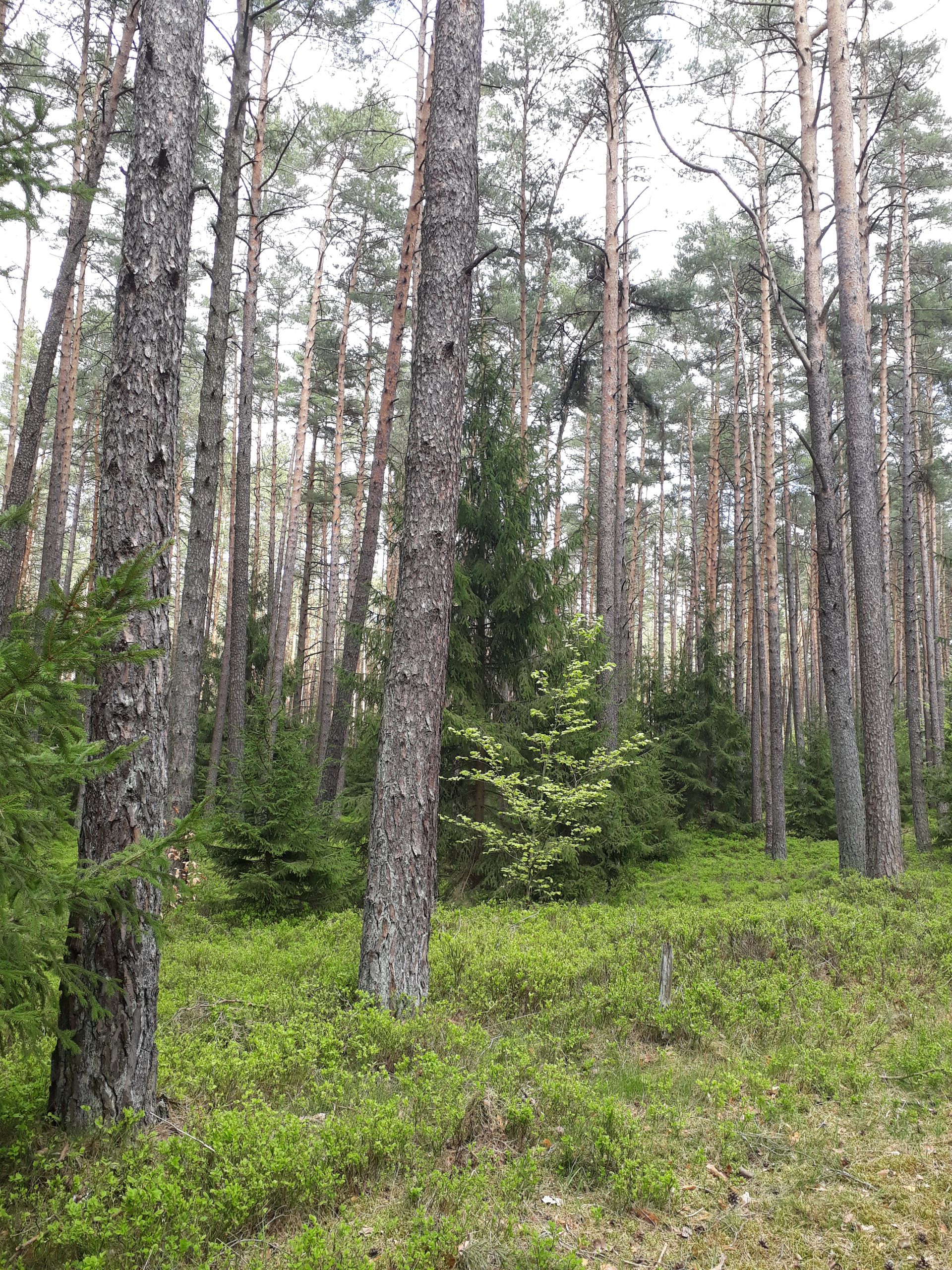
In the municipality of Berching, there are other interesting natural sights that supposedly attract tourists, including the high fountain near Sollngriesbach. My friend and I had never been there before, so we decided to hike there. First, we walked along the canal to Berching. Then we really started to sweat: a settlement steeply uphill, all the way to the waterworks. And then through green and colorful gardens, climbing higher and higher, with a truly wonderful view over Berching. Unfortunately, I couldn't capture it in a photo. Now we were on the Jettingsdorfer high plateau and we followed agricultural paths through the forest until we finally found a sign pointing to the High Fountain. Then we went downhill, still through forests. The fountain itself can actually be easily overlooked from the path because it slopes down into the valley. It is limestone terraces that carry water. It goes steeply downhill. Luckily, there were more people on the way, otherwise we might have missed this highlight. After a proper rest, we set off again, following the path downhill. And now the forest changed: before, we only walked through deciduous forests, but suddenly we found ourselves in pine forests. With shrubs on the ground. Unfortunately, I'm not knowledgeable about botany at all.
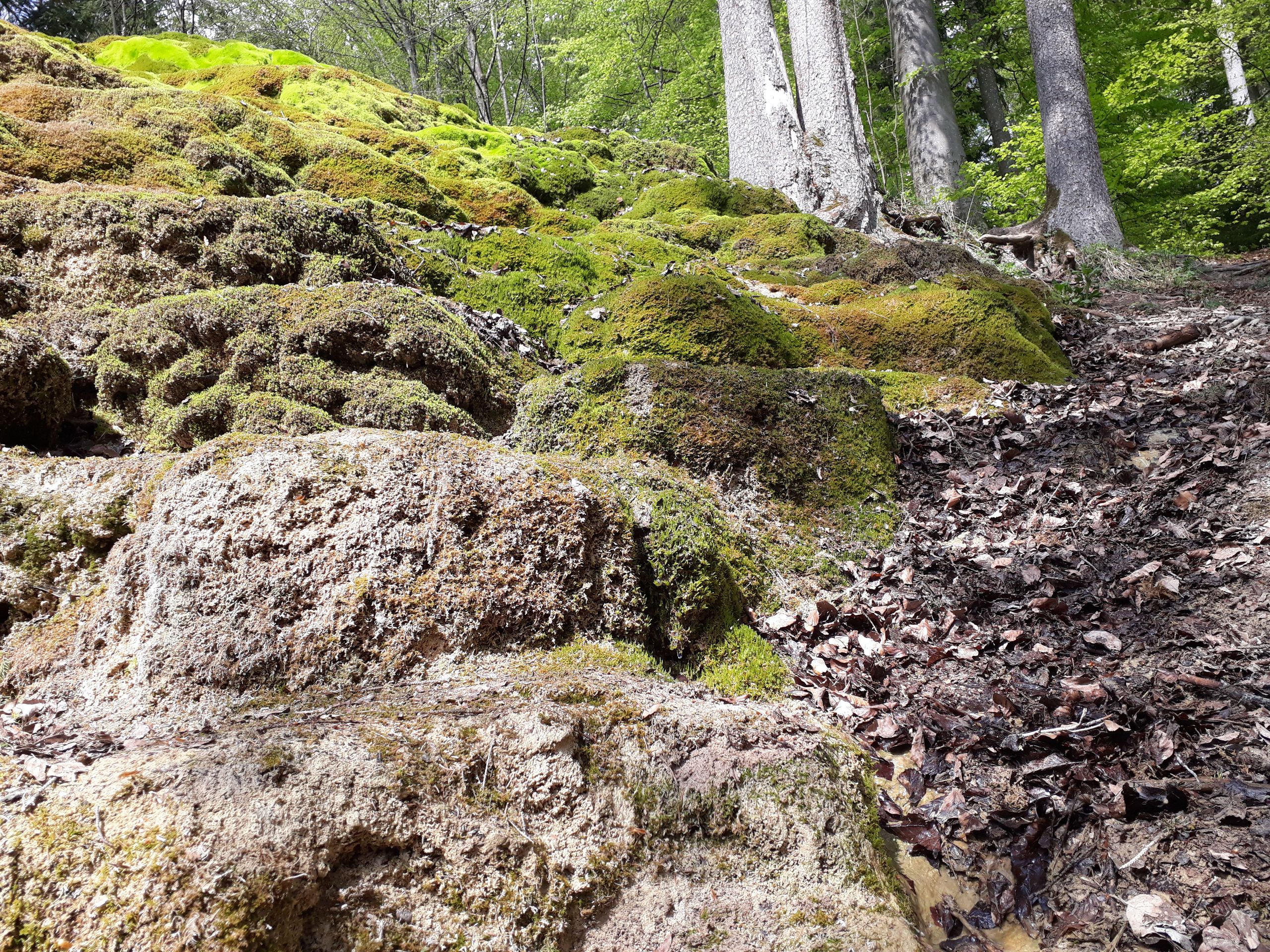
Stony Trough Hike
Another highlight in our region is the Stony Trough near Erasbach. And although supposedly 'all children have always been hiking there on hiking days', my friend and I have never been there. So, the six of us met in Sollngriesbach to hike from there to the Stony Trough and further to Erasbach.
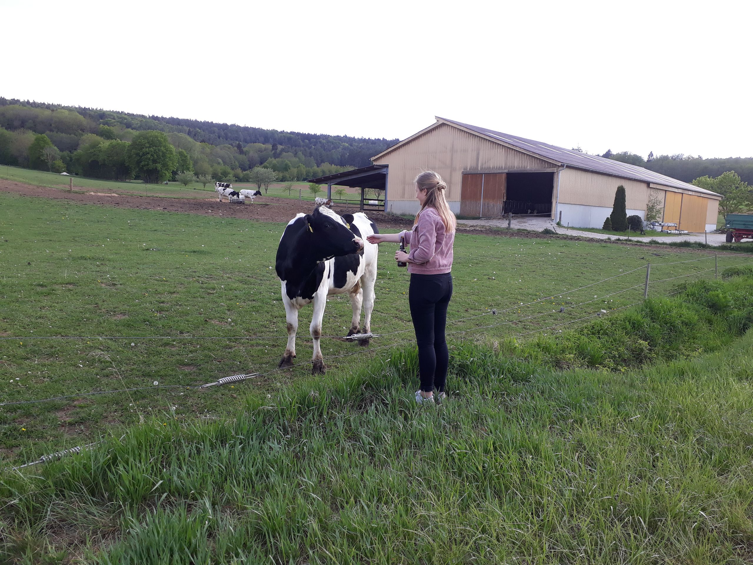
After a short section along the road, our path led into the forest and uphill. Some inexperienced participants of the expedition got quite sweaty ;). Once again through the forest, our path was very well signposted and highly frequented. The Stony Trough is a limestone channel that was formed by the calcareous water. The water runs down into the valley. That's where we hiked to as well. We had a great view over Erasbach and across to Sulzbürg. Plenty of cows in the meadows followed our hike with keen interest. One participant of the expedition then fed the cows. We noted for the record: cows don't like beer.
The way back on the asphalt road to Sollngriesbach was then very exhausting.
Seminar Hike near Eichstätt
Eichstätt is about 30 kilometers away from me, but I regularly visit it for work. So, it happened that we went hiking there with the seminar in summer. We walked out of the 'Eichstätt Kessel' through the Buchtal and along the Altmühl Panorama Trail. We didn't walk very far, but we followed beautiful paths, enjoyed nice views of Eichstätt, and reached a 'summit cross'.
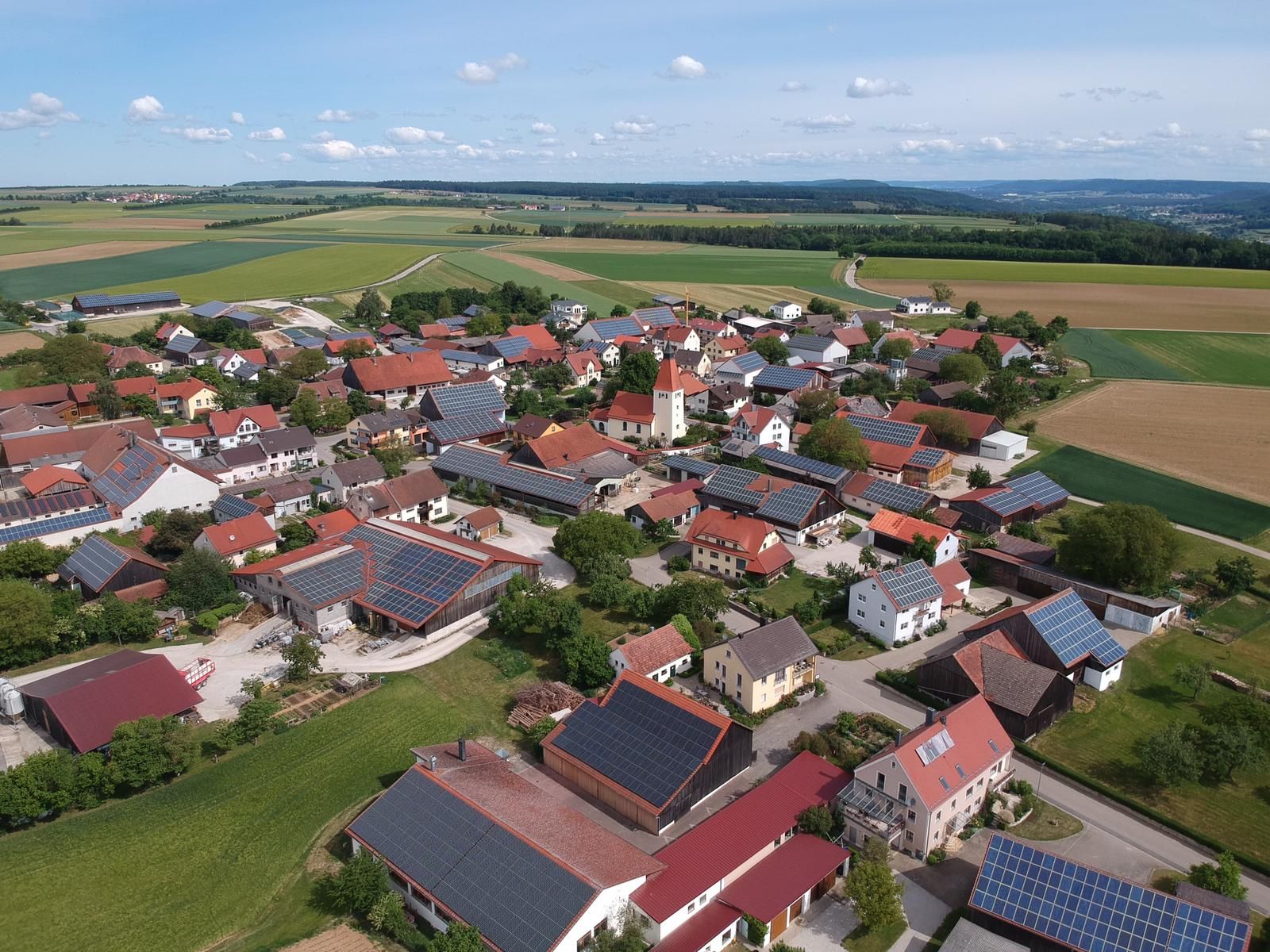
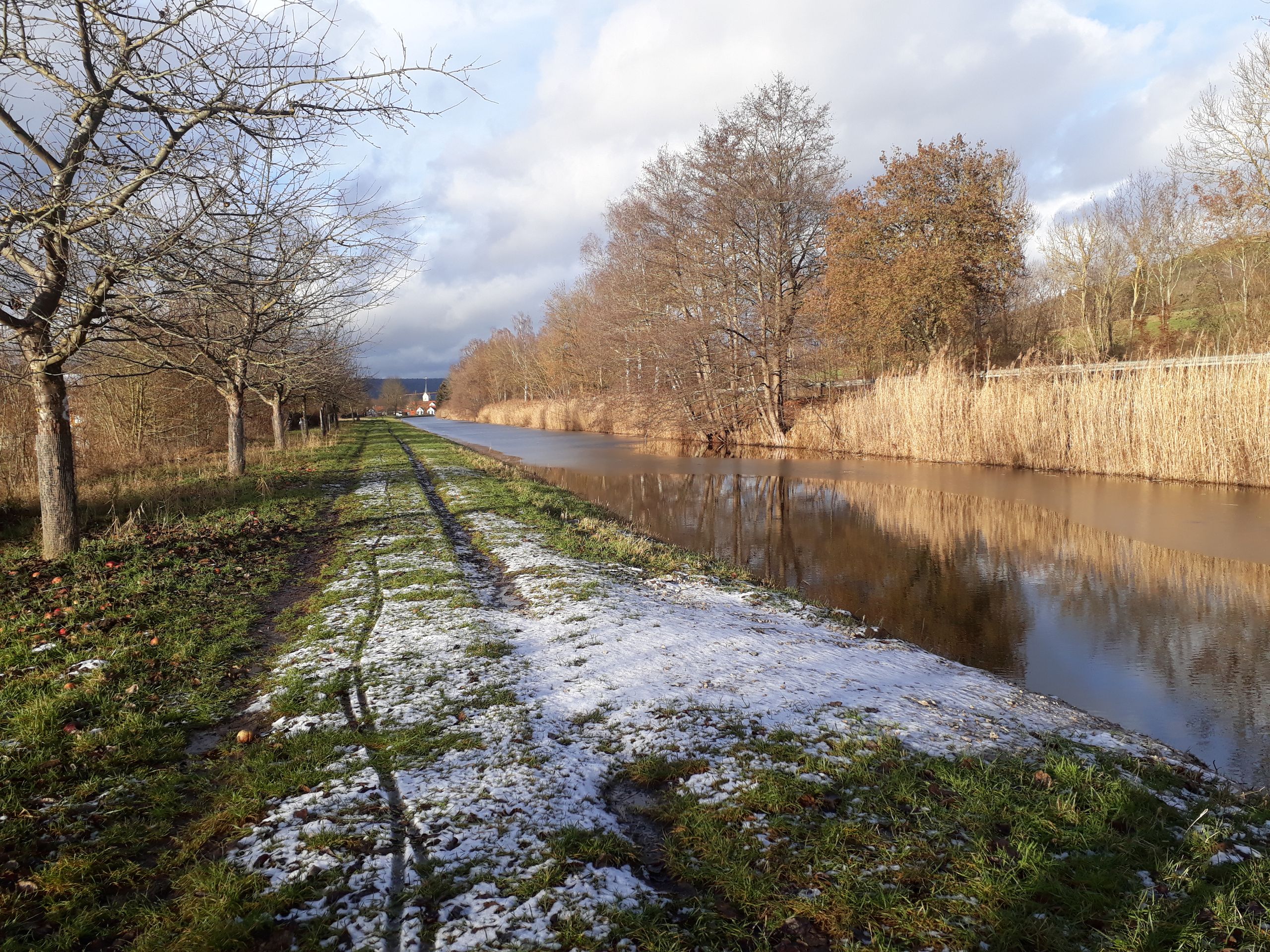
Winter Bike Tour on the 3-Bezirke-Radweg
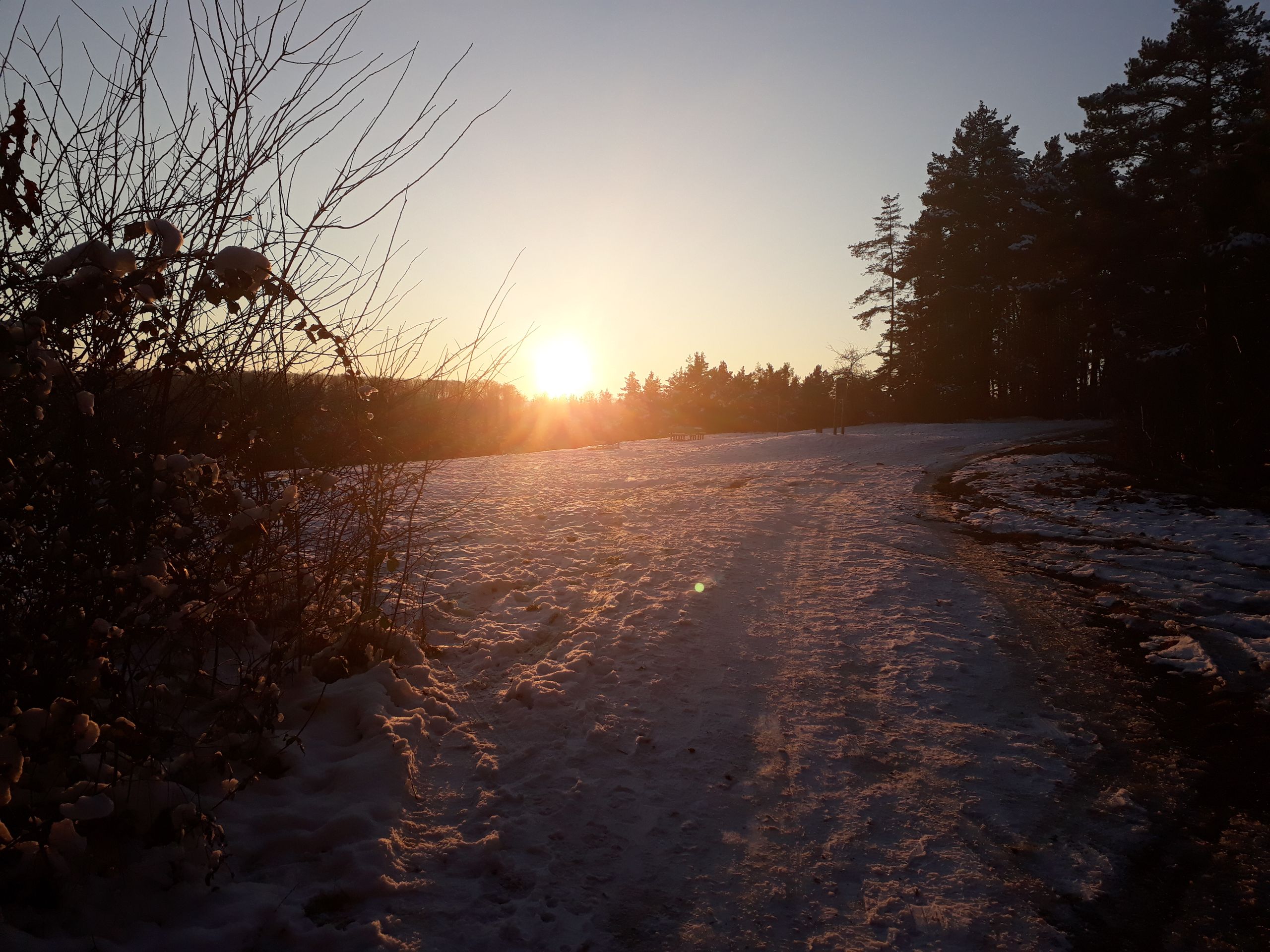
Afflicted with cycling fever once again, I set off on a day tour through my hometown in December, when it was just above freezing. I had chosen the 3-Bezirke-Radweg, which leads from Berching (Upper Palatinate) along the canal to Beilngries. It was cold, and the sun was still behind the hills. The gravel bike path was very icy and covered in some snow.
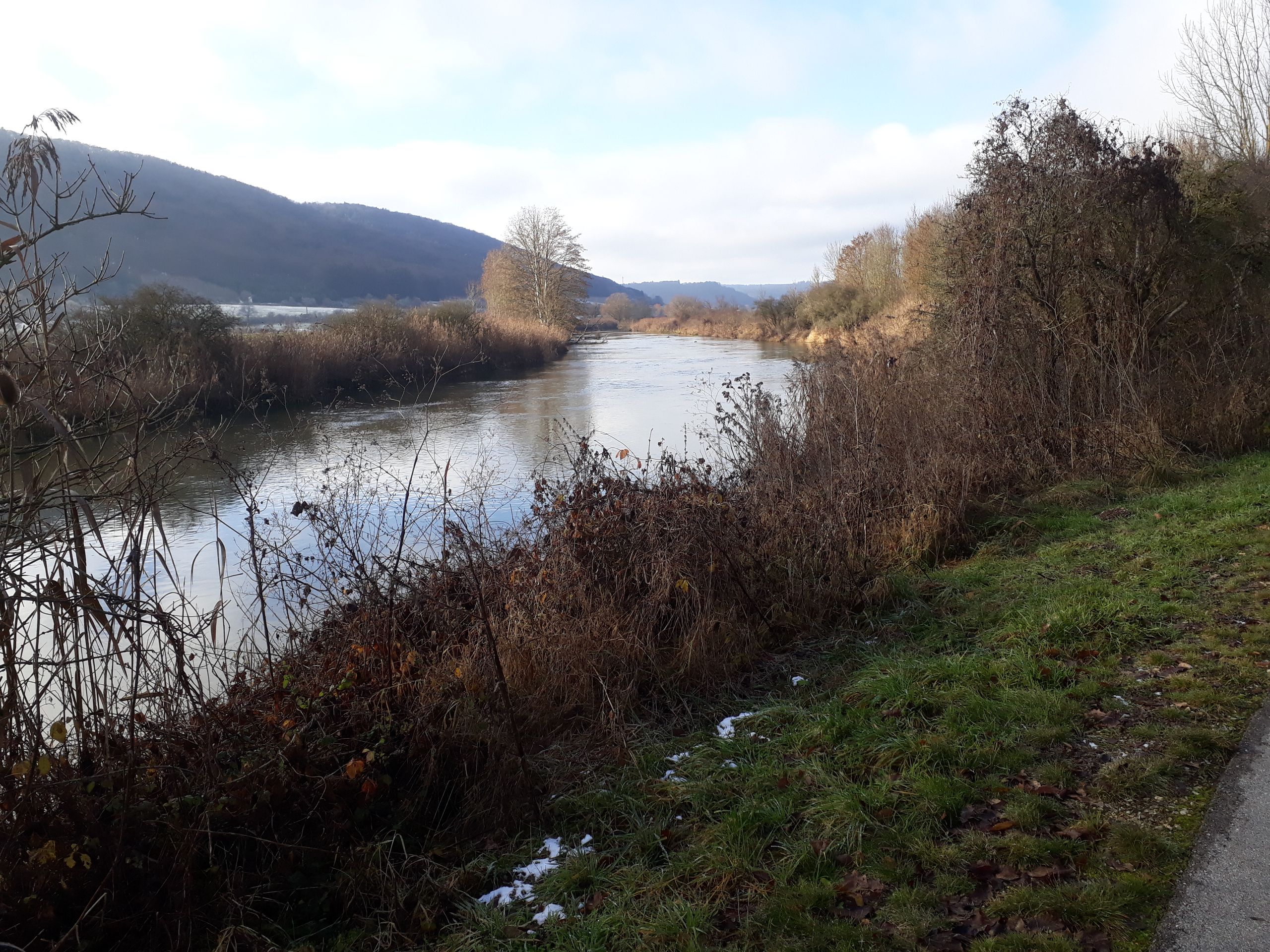
After Beilngries (Upper Bavaria), I followed the Altmühl River to the Kratzmühlsee, a highlight in the area. I couldn't linger for long, as the cold was creeping into my limbs. The route continued through the Altmühltal to Kinding, and from here, I followed the Schwarzachtal. At this point, I decided not to follow the signposted path in the valley, but instead ride on a normal (but hardly used) road through the hills to Greding (Middle Franconia). Before that, I had already considered whether to stop and return home directly to Greding, as it was very cold. Inspired by the wonderful view next to the Schwarzachtal, I decided to continue riding.
A while after Greding, I still followed the Schwarzachtal, it is really beautiful. The old buildings and churches changed. It's fascinating how quickly this can happen within a few kilometers!
However, after Obermäßig, the cold was joined by hunger - of course, I had not packed anything to eat. Now it became tough. Clouds moved in, and now I was no longer riding in a flat valley, but 'overland'. It was not directly hilly, but I still felt every meter of elevation gain.
In Sulzkirchen, I reached the Main-Danube Canal. I had actually planned to ride along it to Berching in a relaxed manner. But it was difficult. In the morning, the path was still covered in snow, but now everything had melted under the strong midday sun, and I was riding in the mud. At times, I got off my bike and pushed it because it required less effort and didn't make me significantly slower. But that was a mistake... I got even colder. I left the canal near Mühlhausen, it was easier to ride on the road. But I was so incredibly cold. Then I made a decision and called my friend to pick me up. I waited for him just before Pollanten.
Despite hot tea and knee bends, I was still freezing, and tears came to my eyes. But I wasn't alone: 3 little boys also arrived, with the last one pushing his bike and crying. I could understand him. They refused my offer to give them a ride home.
In the end, I was picked up, and I had never been so glad to be able to take a warm shower and warm up.
Winter hike on the Altmühl Panorama Trail
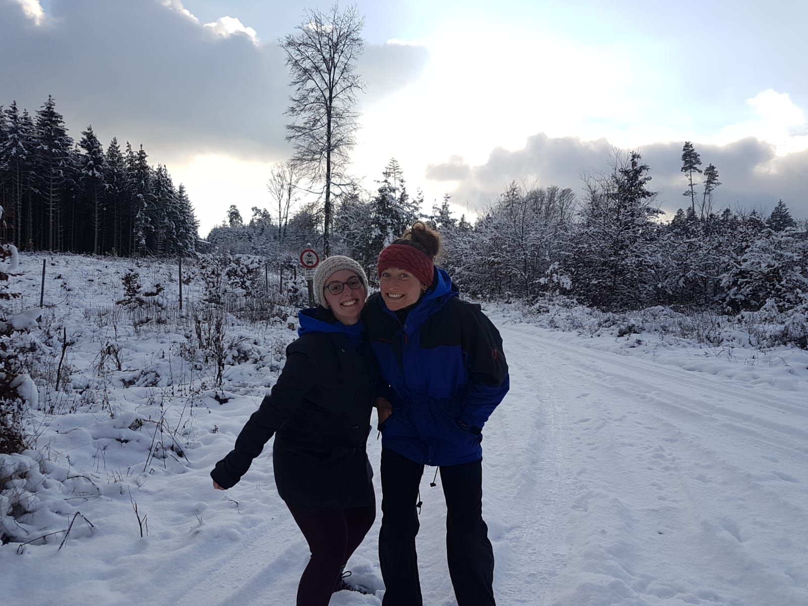
Less dramatic, but equally cold, was the hike with a friend along the Altmühl Panorama Trail between Kinding, Irlahüll, and Unteremmendorf. We were dressed much better and had a lot of tea with us. So, we started in Kinding, crossed the Altmühl and went up the slope. The path was quite steep and led through the forest. Hügelgräber would have been signposted, and we would have loved to see them. But we didn't. Either because we chatted too much or because everything was covered in snow.
Finally, we left the woods and found ourselves on a 'plateau' near Irlahüll. Many children with sledges were out and about. Initially on the asphalt road, we set off down the hill again in the glorious sunshine, towards Unteremmendorf.
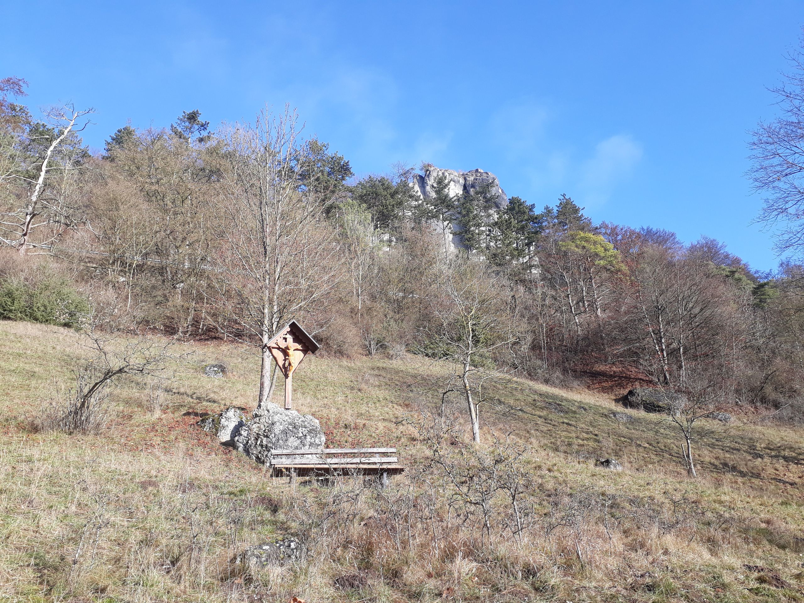
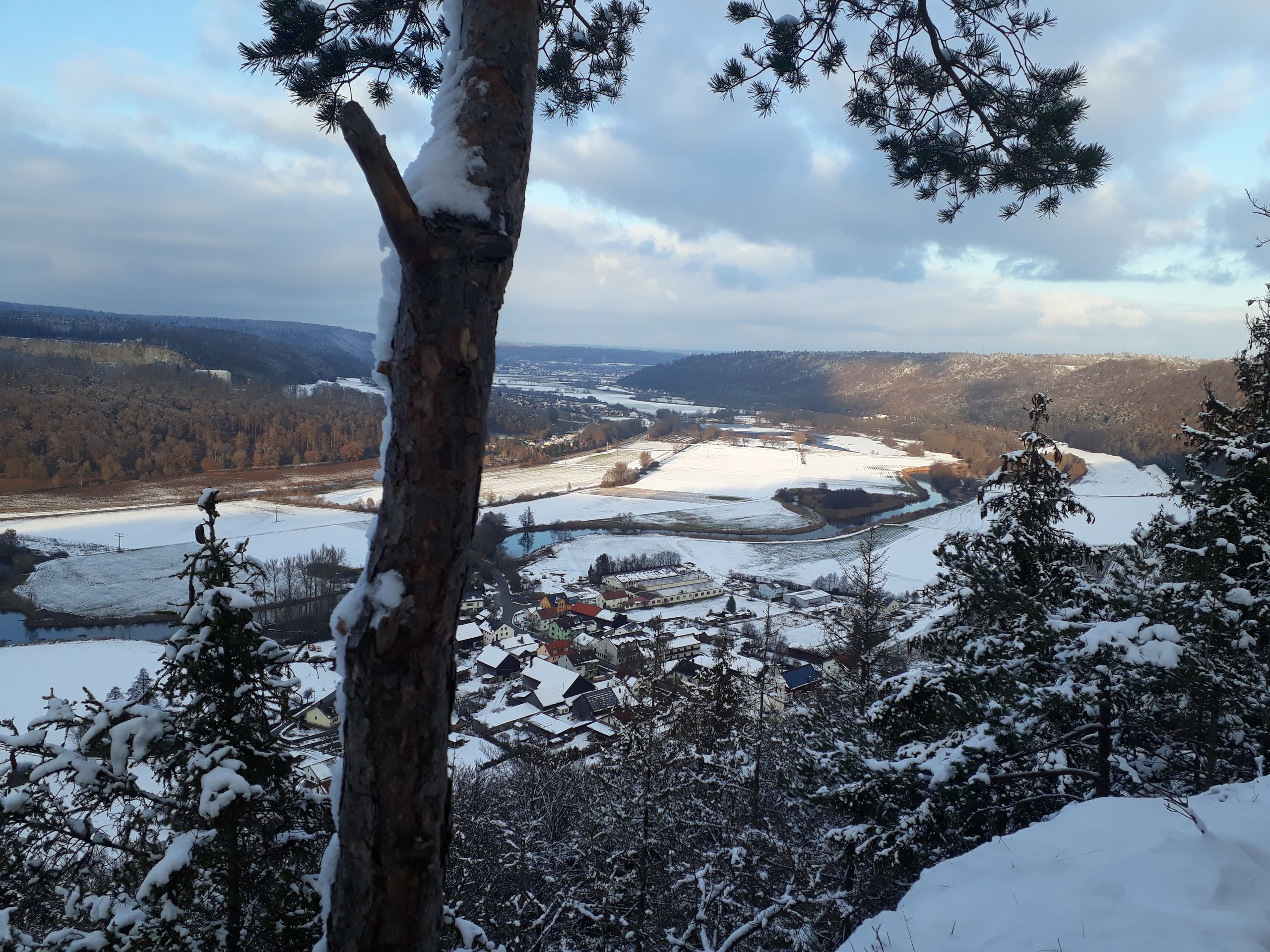
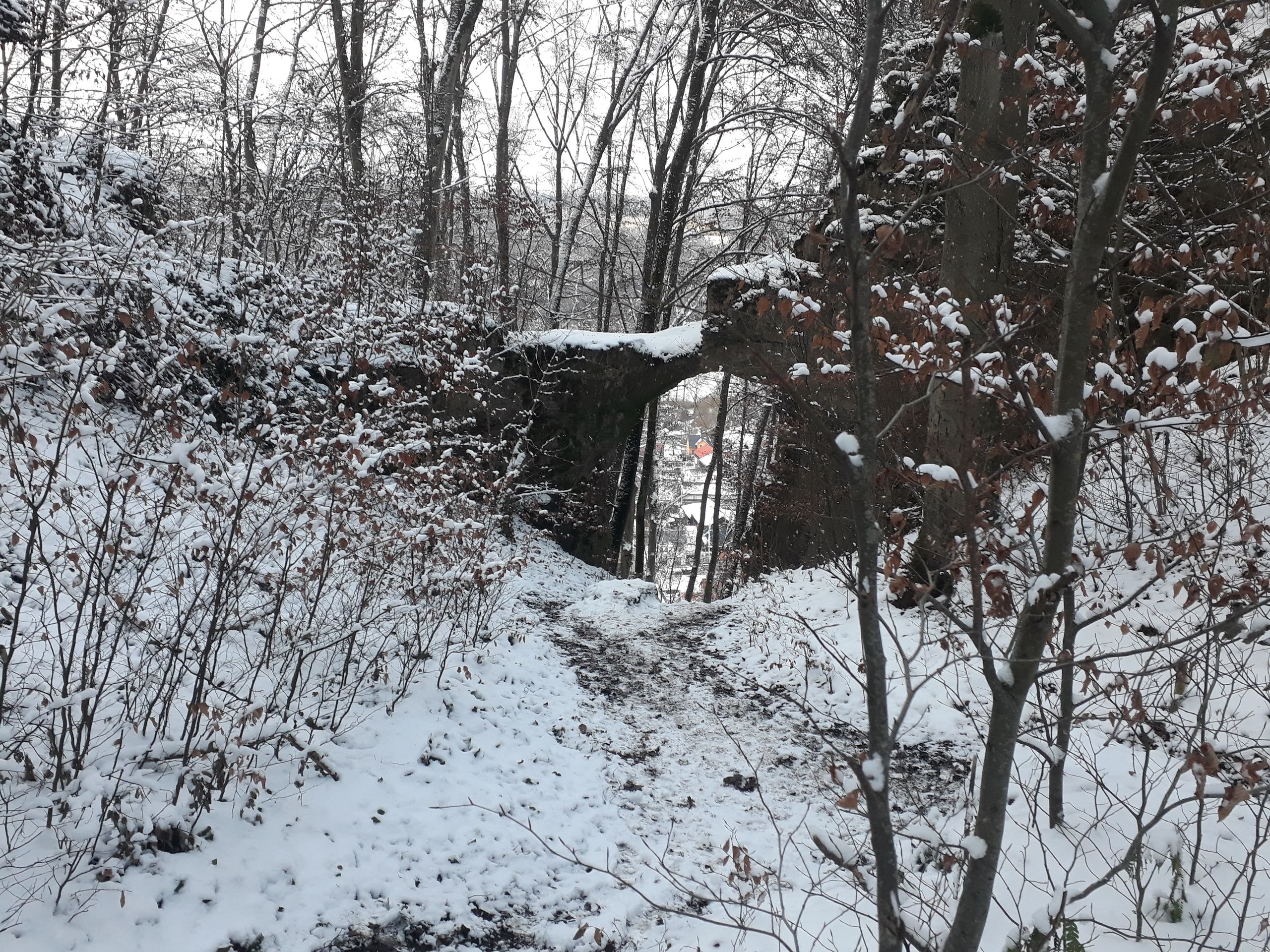
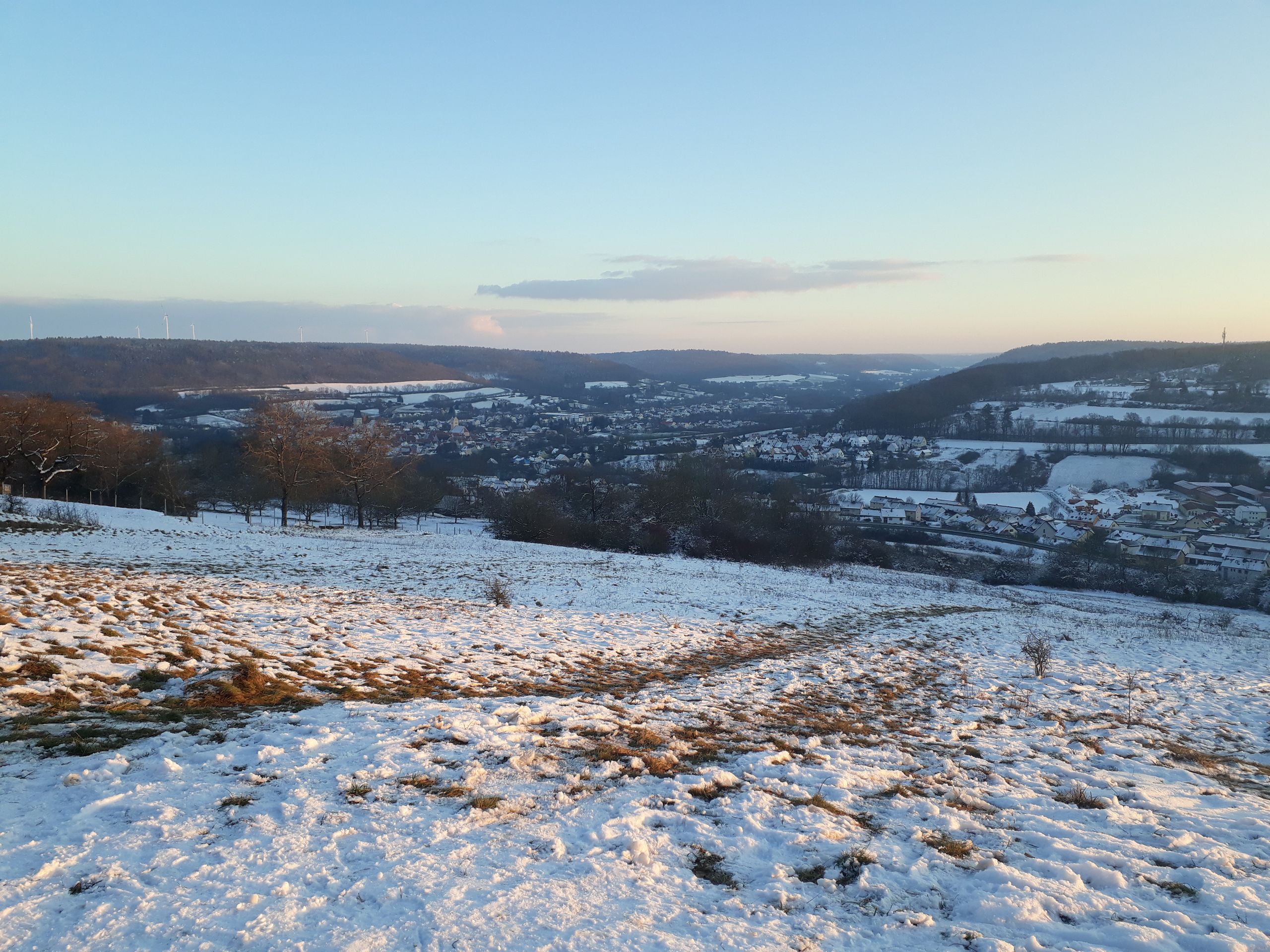
There, you can turn right onto a field path and have a great view of the Altmühl Valley. After enjoying this view, our path continued to the Felsentor. As the name suggests, it is a very impressive gate in the rock. However, it seemed to go steeply downhill behind it... and the path at the top had been closed due to slippery conditions... Then a hiker came through the gate from below and said it was passable. It was just a bit slippery. And so, it was. There were even small caves at the bottom. And in a flash, we were in Unteremmendorf.
From there, we continued along the Altmühl Valley for about 5 km back to Kinding. The sun had already disappeared, and it got very cold. Luckily, we still had tea with us, which was so hot that I kept burning my tongue on it. And we had nice, funny conversations that made us forget about the cold. After 2.5 hours, we were back at the starting point of our hike.
Mag-subscribe sa Newsletter
Sagot
Mga ulat sa paglalakbay Alemanya