Tongariro Crossing 2.0 and the ascent to Mt. Doom
Published: 03.01.2017



Subscribe to Newsletter
In order to live up to its reputation as the most beautiful one-day hike, we wanted to attempt the Tongariro Crossing again, this time with 6 people. However, Claudi was still too tired from the previous crossing to make it through this one. Additionally, the weather at the beginning was just as inviting as during her last attempt, so Luisa stayed with the cars.
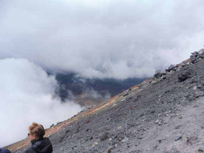
So it was only Jessy, Andre, Denis, and me. We quickly made our way to the Soda Springs. The drizzle stopped, but the fog remained. The mood was good, and Denis had been wearing shorts for an hour already. We reached the South Crater and saw the sign indicating the turn-off to Mt. Ngauruhoe (Mt. Doom). Apart from the sign, we didn't see much, and certainly no path that we could have followed. So we just started walking. After all, we thought it should be easy to find the way to the summit, as the mountain gets narrower and narrower as you go up. Every 50 meters, we saw poles showing us the way, as long as they weren't knocked down or hidden behind the fog.

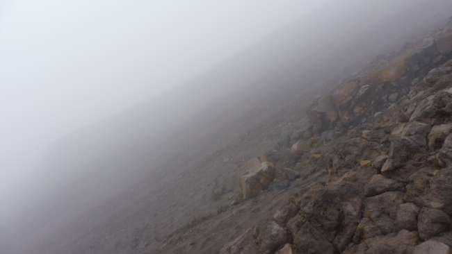
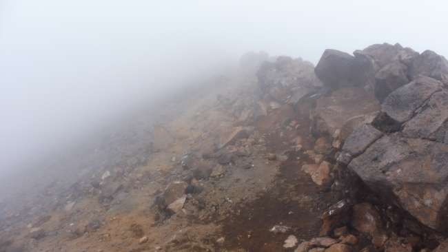
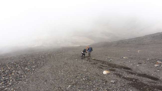
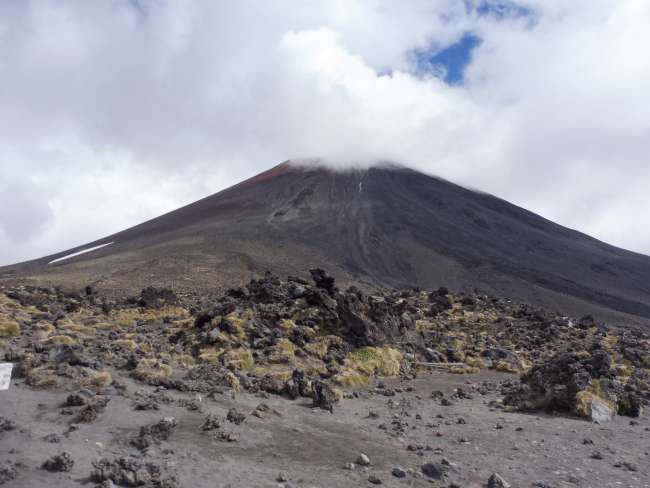
This is what the ascent looked like
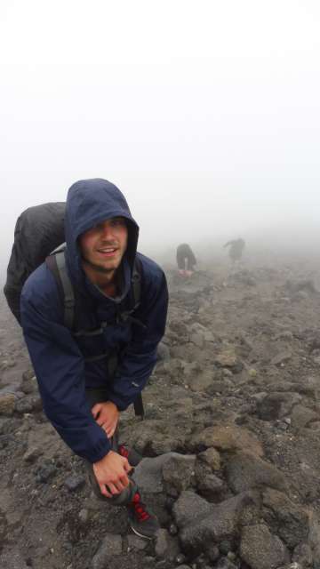
The ascent became steeper and more rugged as the path slowly turned into a scree field. Some people passed us, including a Scot who had already climbed the mountain in shorts and a t-shirt. He said he was used to this kind of weather. Hats off! After 1.5 hours, we reached the snow line, which we celebrated with a few snowball throws. Shortly afterwards, we reached the summit.
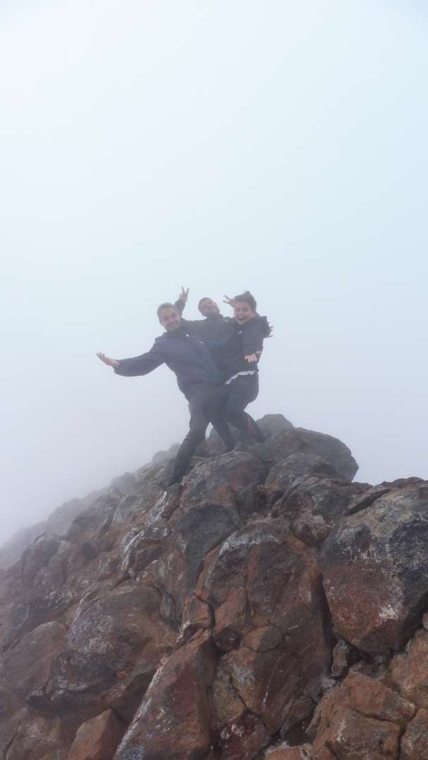
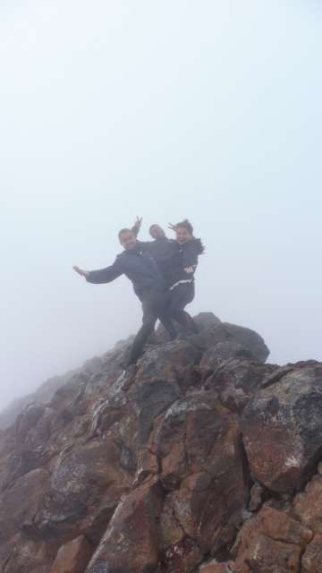
Yeah! Summit reached.
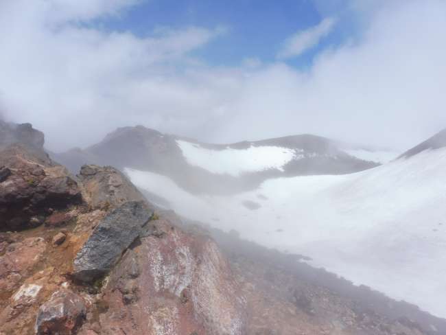
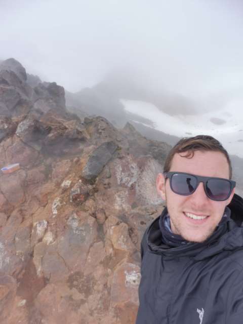
Or at least we assumed so, because we couldn't really see anything. We took a break, and Andre threw the 'One Ring' into the crater to destroy it, as was instructed. We had lunch. Just as we were about to leave, the clouds cleared a bit, allowing us to see the sky and recognize where we were for the first time.
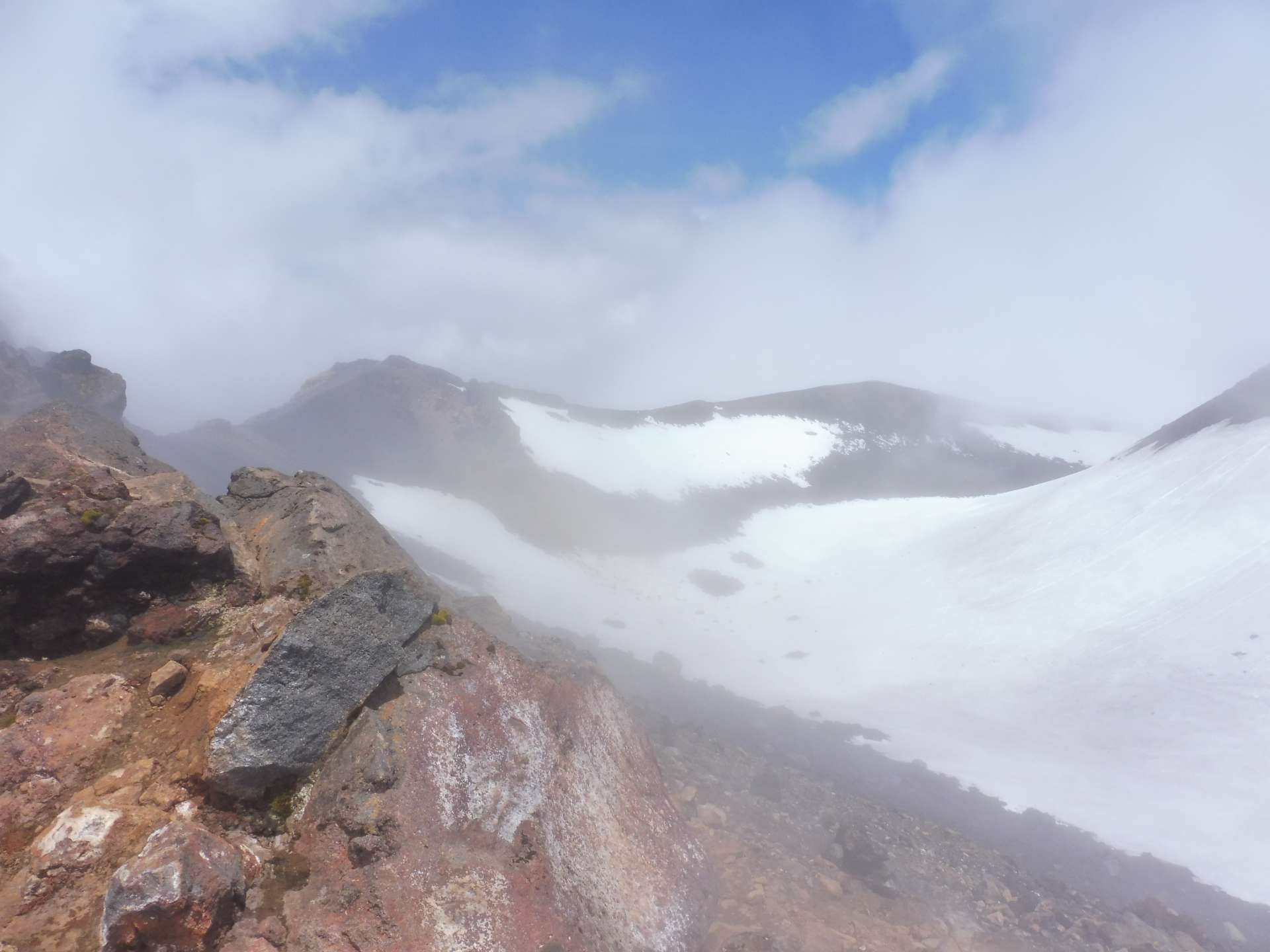
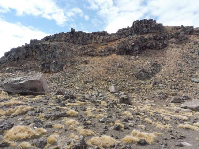
It was indeed the summit, 2287 meters above sea level. Our first mountain over 2000 meters. Encouraged by the fact that we could see more than just a few meters, we started the descent. We quickly found ourselves back in the clouds, and as expected, we lost our way. It became a real adventure getting down. The 'path' became much more unpleasant than the ascent already was, and we kicked loose stones that you better not get hit by. It briefly got better and it was possible to slide down the mountain. Of course, our shoes quickly filled with sand and stones, but at least we were making progress.

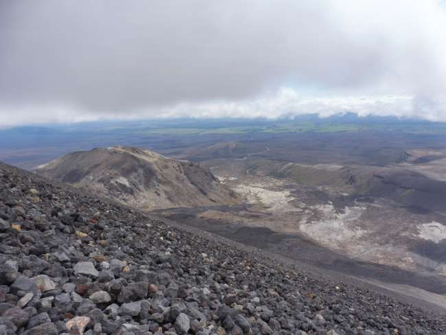
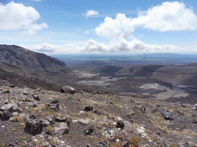
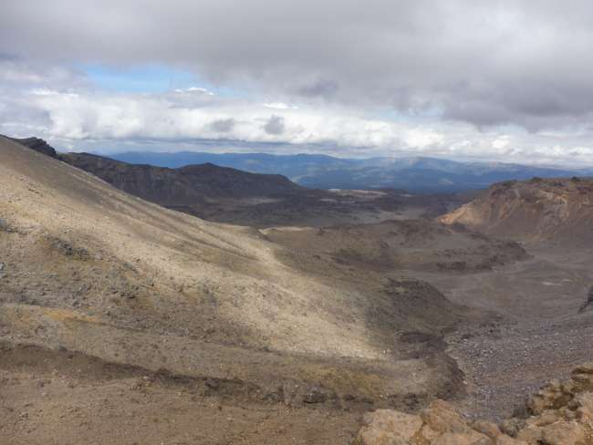
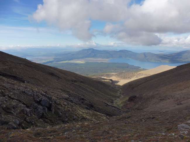
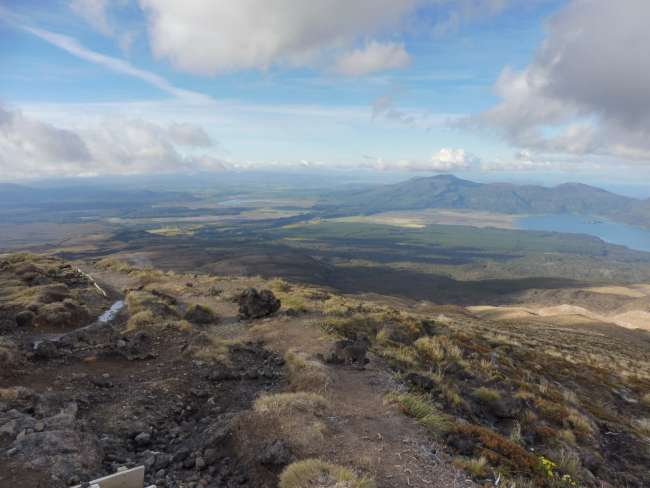
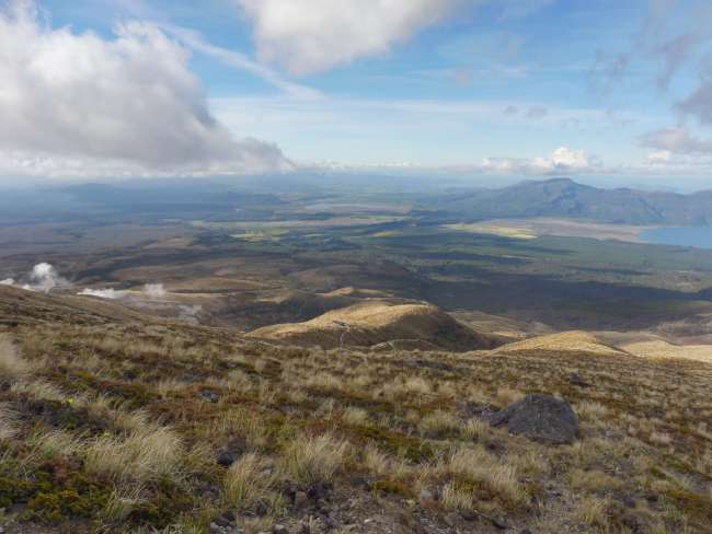
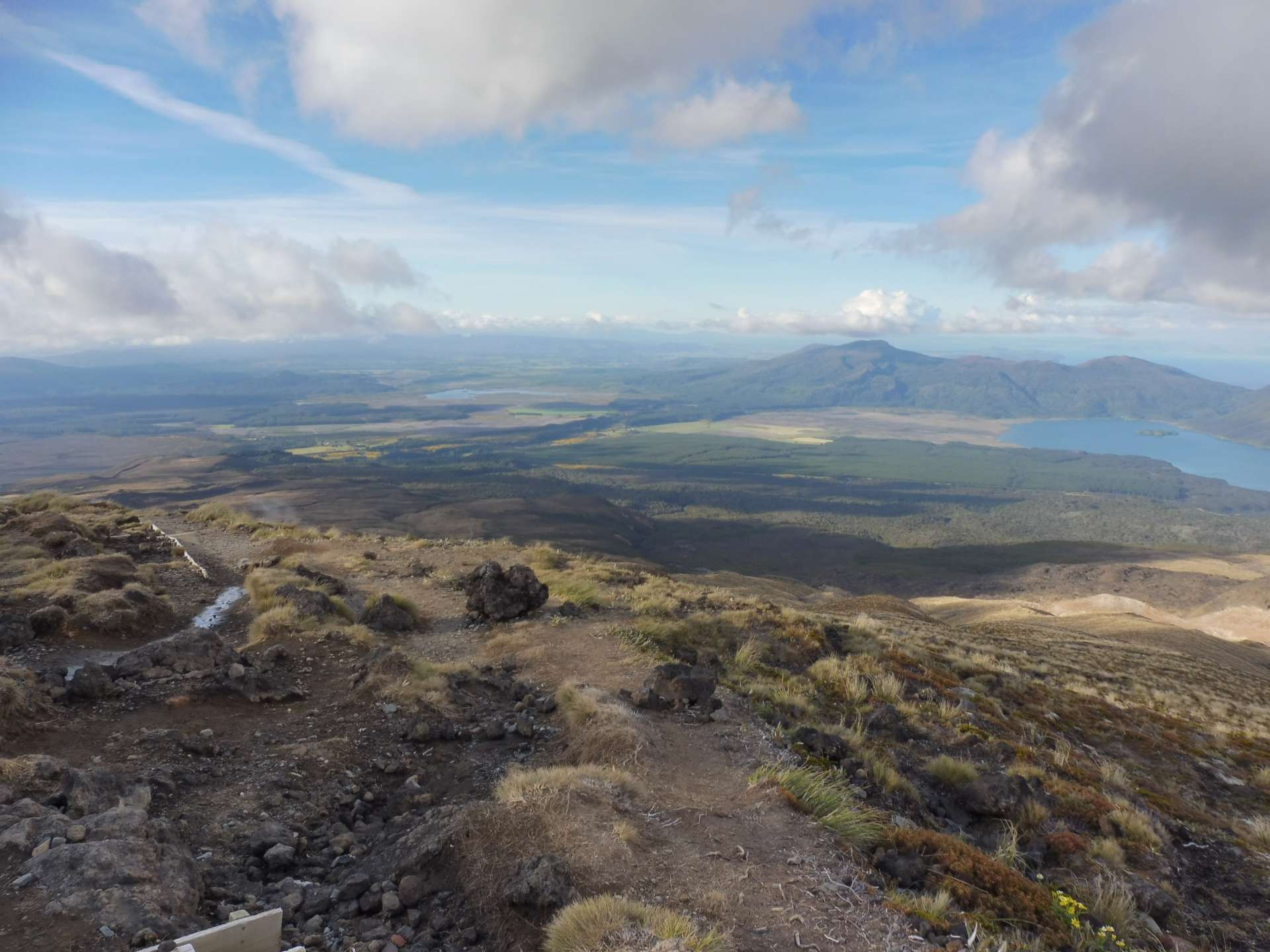
We descended below the clouds and the view that greeted us was simply fantastic and breathtaking. We could see for miles, especially what was hidden from us on the track before.
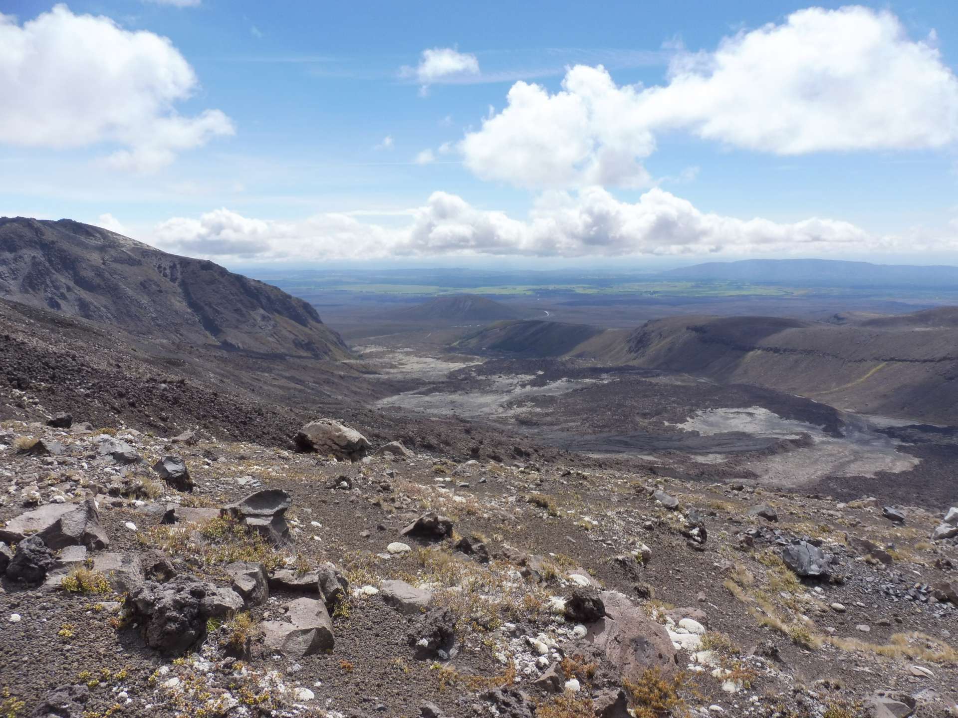
The view makes up for everything.
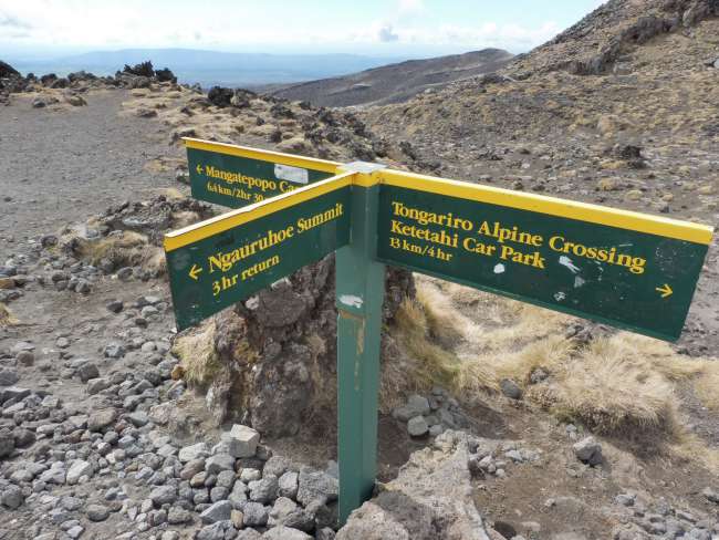
Furthermore, we realized that we had walked much too far west. It didn't look far to the trail anymore, but that was deceiving. So we went downhill for another hour. Sliding, crawling on all fours over rough volcanic rock, through sand and other debris. When we reached the trail, we were 20 minutes' walk from the South Crater. The sign said it takes 3 hours to climb to the summit and come back down. It took us 3 hours for the descent :D
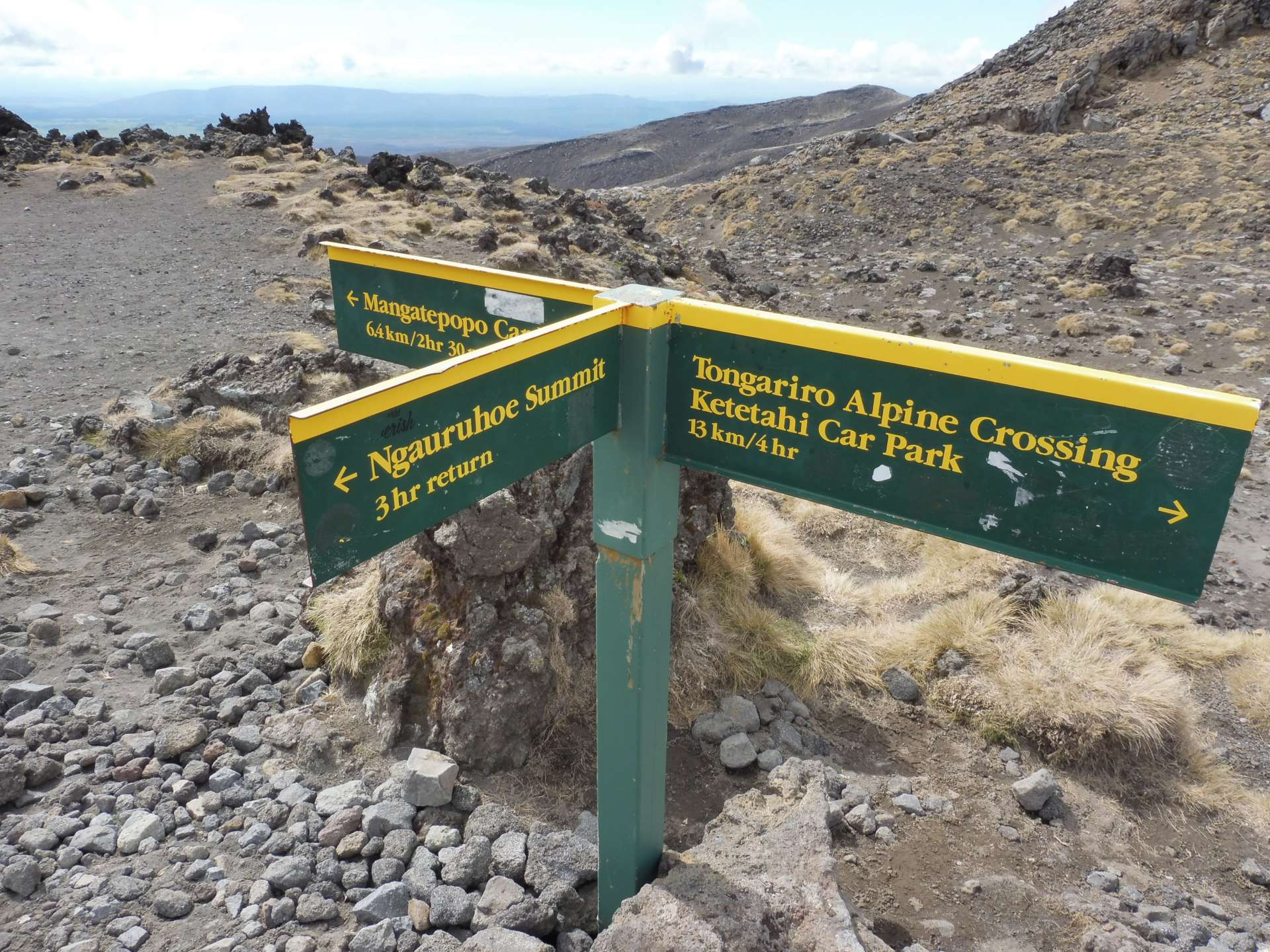
3 hours up and down. Well, almost.
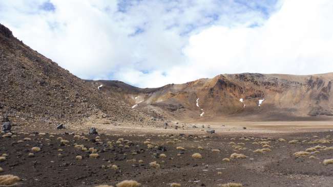
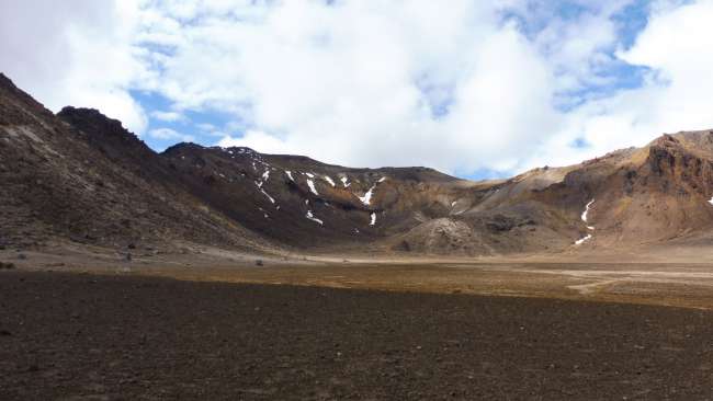
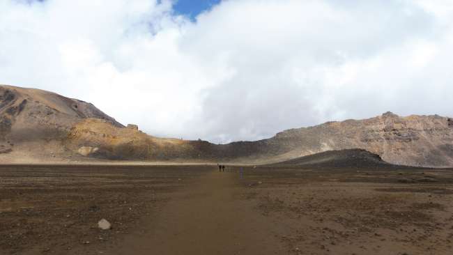
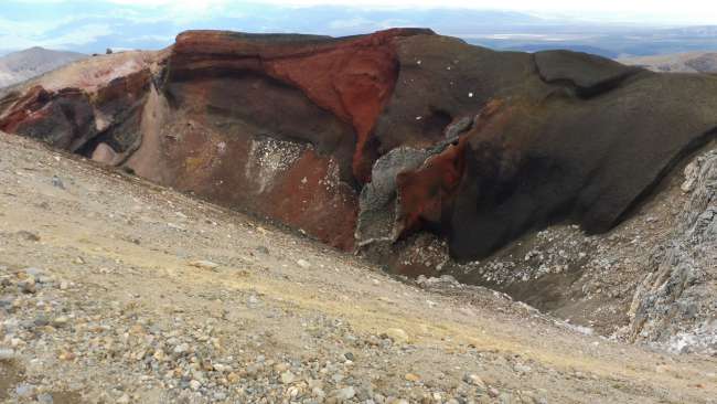
But there was something good about it. We only encountered about a dozen people who were coming towards us, and we now had beautiful weather and a great view for the remainder of the trail. We walked across a plateau towards the Red Crater, surrounded by Mt. Doom and Mt. Tongariro.
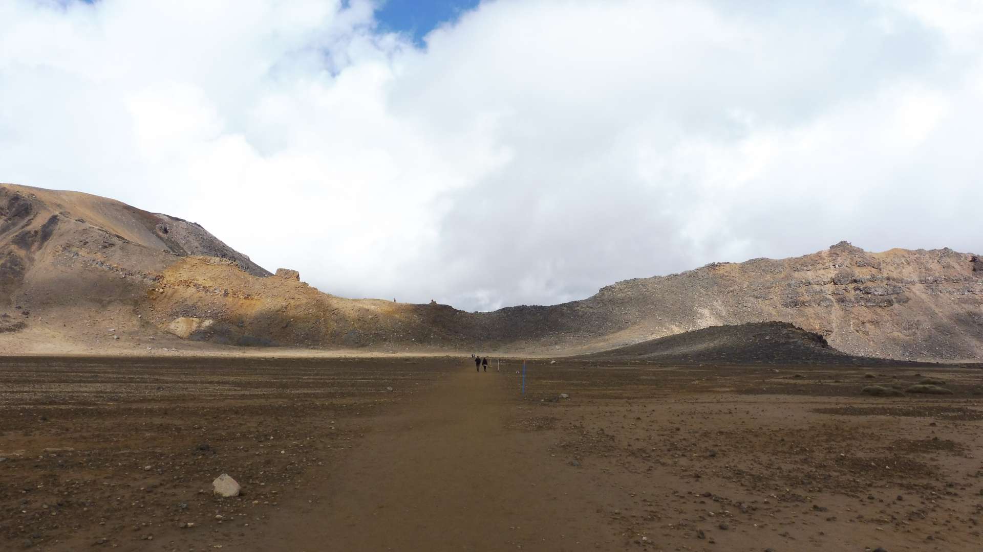

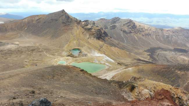
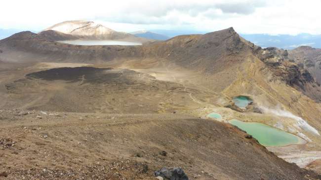
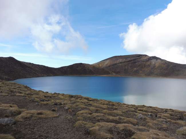
From the Red Crater, the highest point of the Red Crater, we had a wonderful view towards the east, and then the trail led us past the Emerald Lakes and the Blue Lake, which lived up to their names.

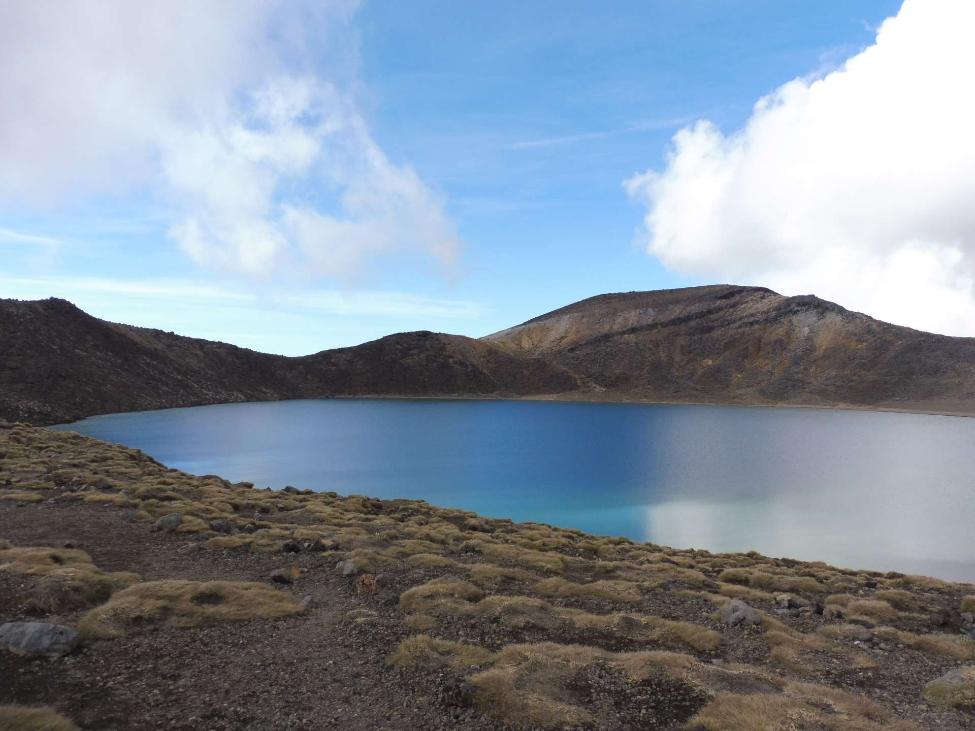
From there, it was all downhill, at least in terms of elevation. With a fantastic panoramic view, we walked along the serpentine-like path to the endpoint. Luisa even came towards us and walked the last hour with us.

Subscribe to Newsletter
Answer
Travel reports New Zealand
